







Danube connecting cycle path "Weiden am See to Bad Deutsch-Altenburg" (B21)
Poziom trudności: 2
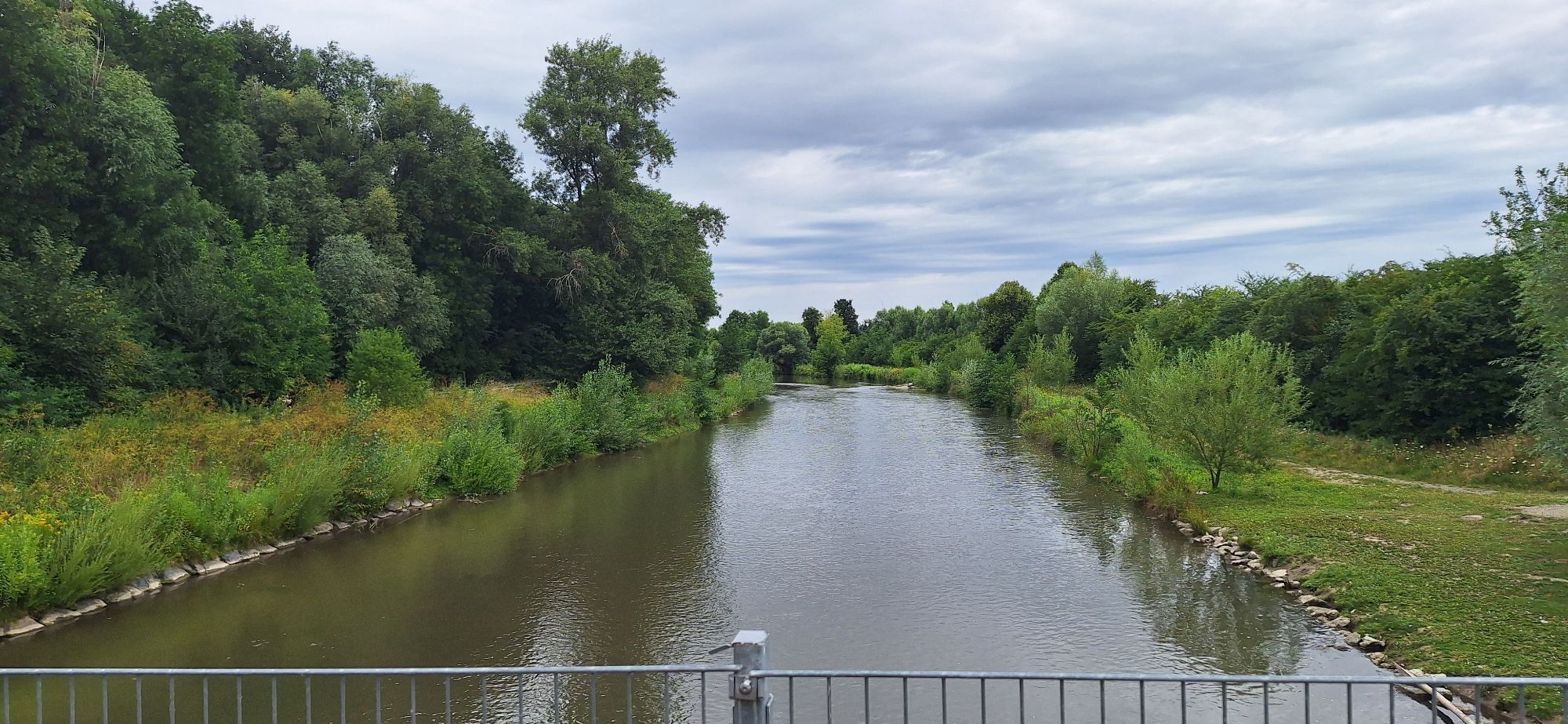
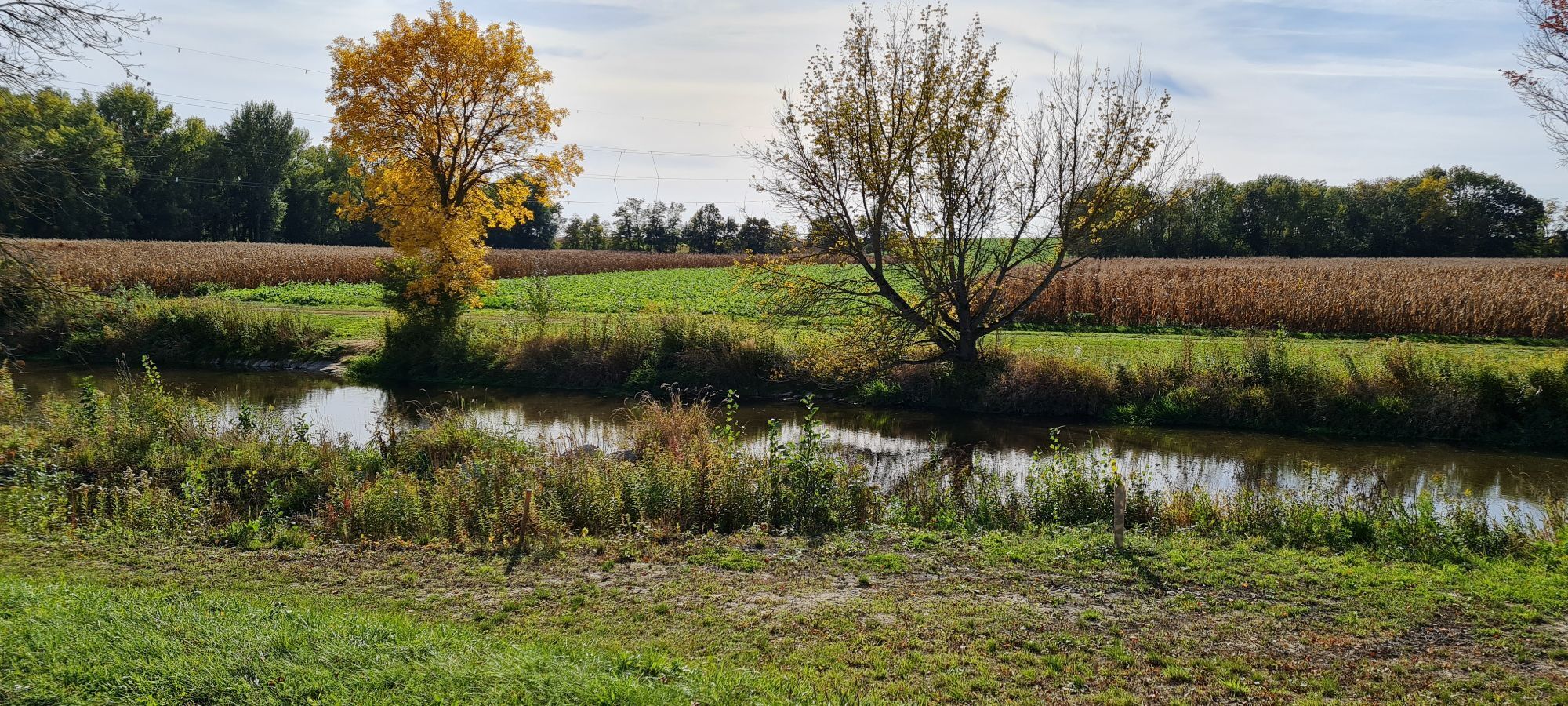
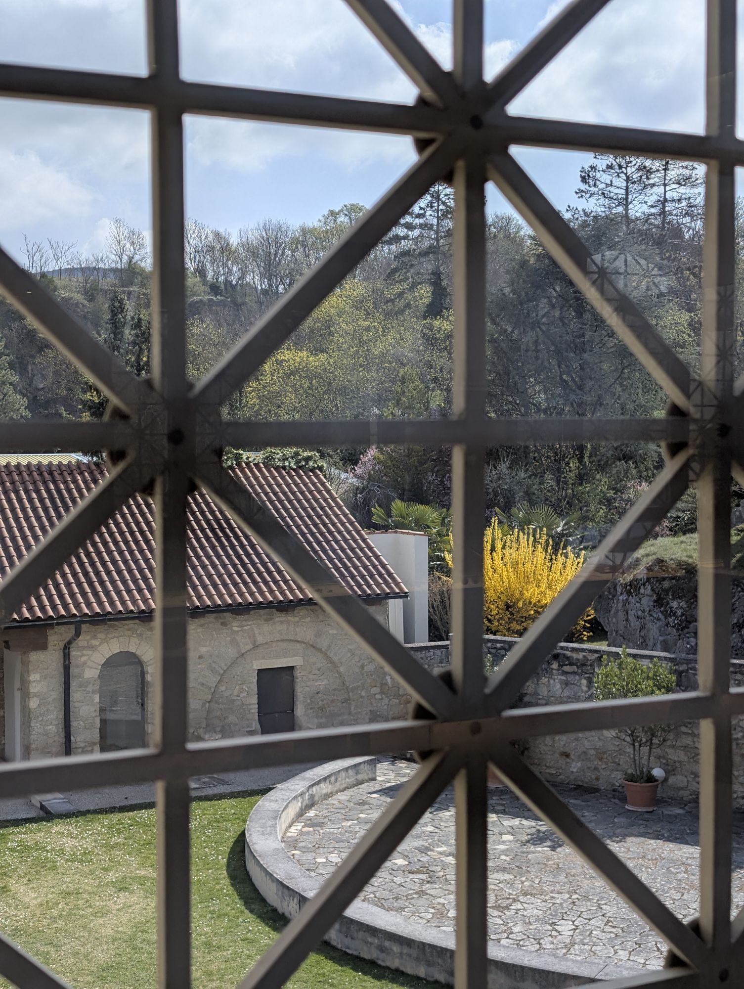
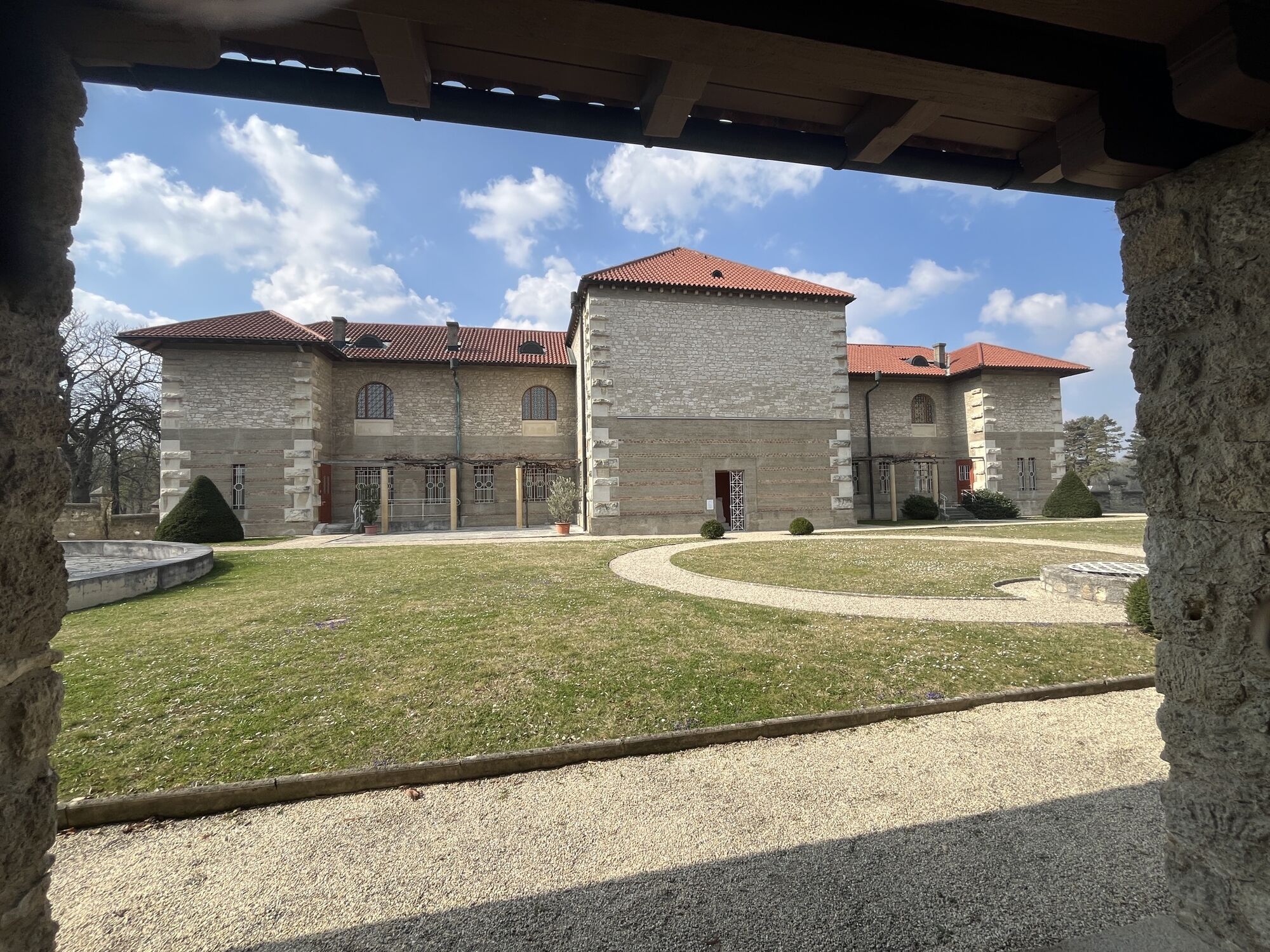
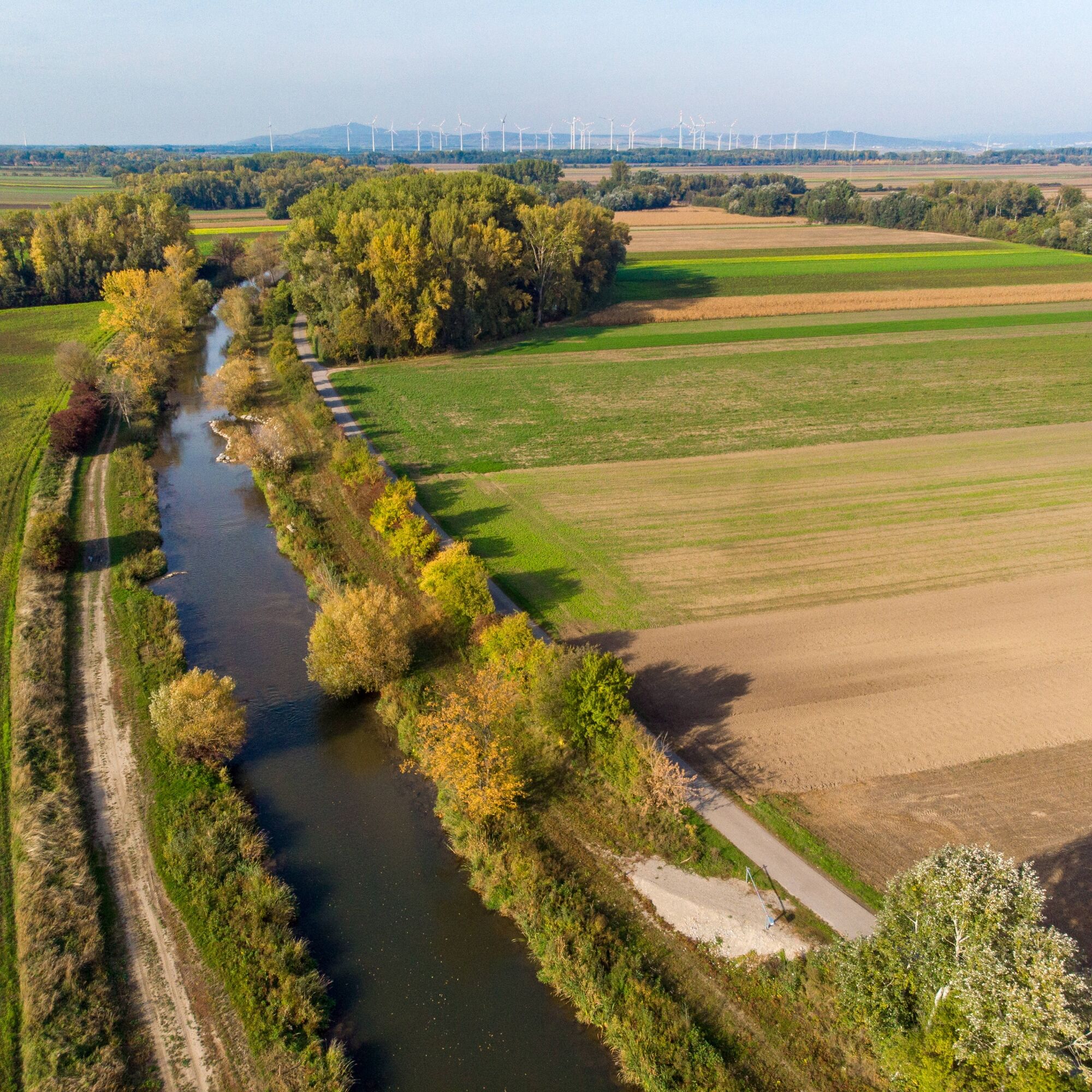
On this connecting cycle path B21 you cycle from Weiden am See to Bad Deutsch Altenburg. The cycle path connects the B10 Neusiedler See cycle path and the Danube cycle path. You pass huge wind turbines...
On this connecting cycle path B21 you cycle from Weiden am See to Bad Deutsch Altenburg. The cycle path connects the B10 Neusiedler See cycle path and the Danube cycle path. You pass huge wind turbines and the "Friedrichshof Collection". Enjoy the atmosphere in the small towns along the way and the peace along this route.


Places along the B21 route:
Weiden am See, Zurndorf, Gattendorf, Neudorf, Potzneusiedl, Deutsch-Haslau, Schönabrunn, Bad-Deutsch-Altenburg
Since many cycle paths are agricultural access roads, agricultural traffic is to be expected there. Mutual consideration ensures that these paths remain pleasant for all users.
AUSTRIA
There is a bike helmet obligation for children up to 12 years old. Reflective vests are not mandatory at dusk, darkness or poor visibility, but certainly advantageous. Here is the Austrian bicycle regulation.
Details on arrival can be found here: Calculate route
Arrival by train:
Lake Neusiedl is easily and comfortably accessible by train. Whether you arrive from Switzerland, Germany, the west or south of Austria: you can change trains relaxed at Vienna main station. The regional trains of ÖBB will take you to Neusiedl am See station in just under 40 minutes, where coordinated bus and train connections to Weiden am See are also offered. In most trains, you can take your bike: a reservation is absolutely necessary for your bike in the Railjet and EC/IC as well as in the Nightjets. In regional trains, your bike is carried without reservation subject to availability of the existing bike spaces.
Further train connection to Weiden am See
Schedule information: www.oebb.at
If you arrive by car and want to park in Weiden am See or in one of the surrounding places, please contact the respective tourist office.
2
The Burgenland App also informs you on the go about routes, course and elevation meters.
Are you looking for a ready-made package for your active holiday? Here you will find it: Package deals at Neusiedler See
With the Burgenland Card: Endless holiday fun & offers as far as the eye can see!
All info here: Burgenland Card
Uzyskaj wgląd
Zawsze na żywo z ponad 9 500 kamer internetowych. bergfex Jako użytkownik Pro, możesz teraz zobaczyć odpowiednie kamery internetowe dla wielu wycieczek w aplikacji wycieczki od. Pozwala to na bezpośredni podgląd aktualnych warunków.
Popularne wycieczki w okolicy
-
4,6
Ochsenbründlrunde
światłoWędrówka 8,34 km -
4,8
Hainburg - Hundsheimer Berg - Schlossberg - Braunsberg
światłoWędrówka 13 km -
4,2
Stopfenreuther Au
światłoWędrówka 5,14 km -
3,8
Hainburg Hundsheimer Berg Schlossberg Braunsberg 20190427
światłoWędrówka 9,60 km -
4,0
N21 WeinWeg Gols
ciężkiWędrówka 13,0 km -
4,0
Meadow hiking trail
średniWędrówka 14,3 km -
5,0
Karpaten: Hainburg - Braunsberg
światłoWędrówka 5,24 km -
4,0
N25 wine educational trail
średniWędrówka 8,41 km -
5,0
Hundsheimer Berg - Karpaten
światłoWędrówka 4,75 km -
5,0
Hundsheimerberg - Angelos Touren
światłoWędrówka 6,36 km
Wędrówki i tropienie


Nie przegap ofert i inspiracji na następne wakacje
Twój adres e-mail została dodana do listy mailingowej.





