


Burgenland Trails: Head Trail
Zdjęcia naszych użytkowników
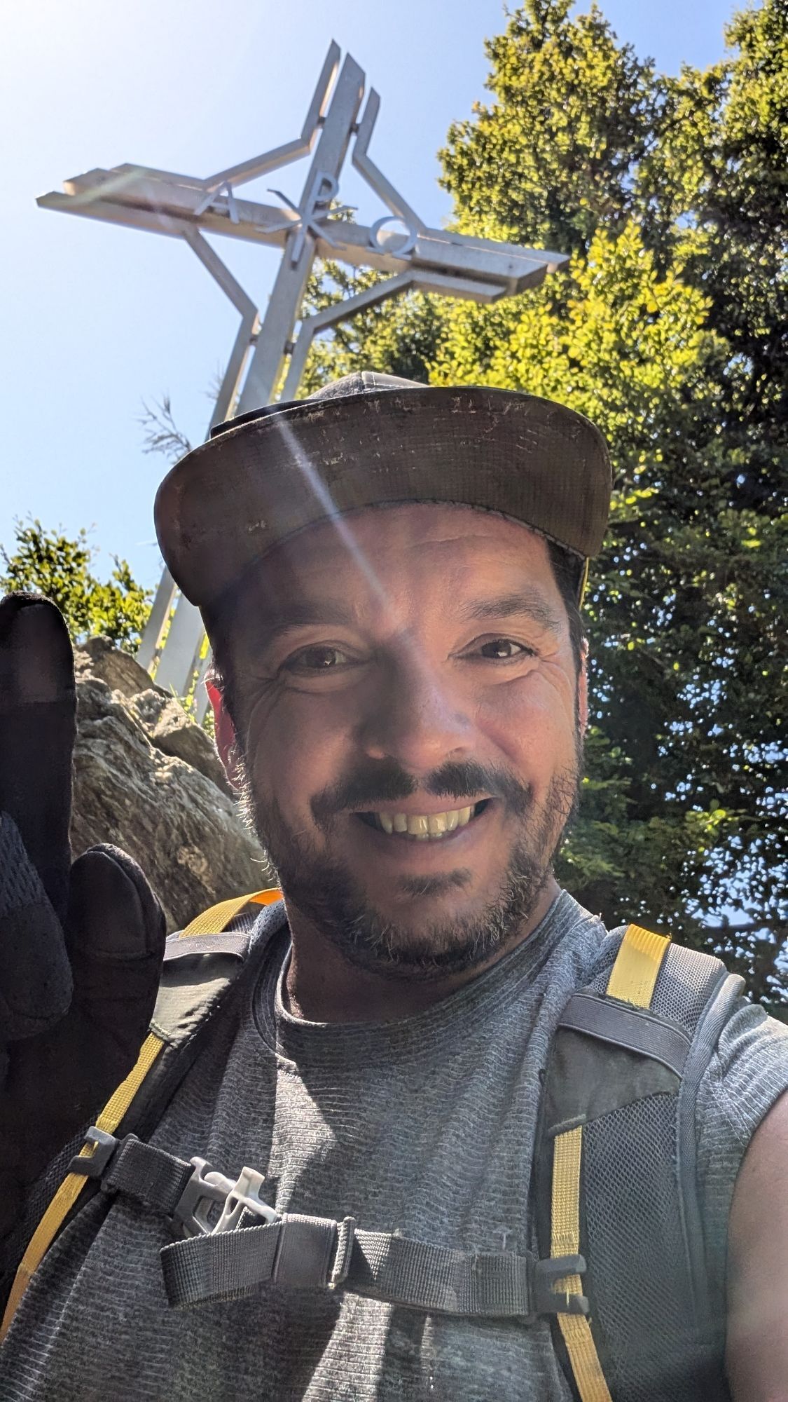
 © Péter SzabóUtworzono dnia 28.10.2025
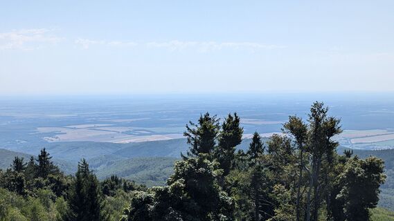
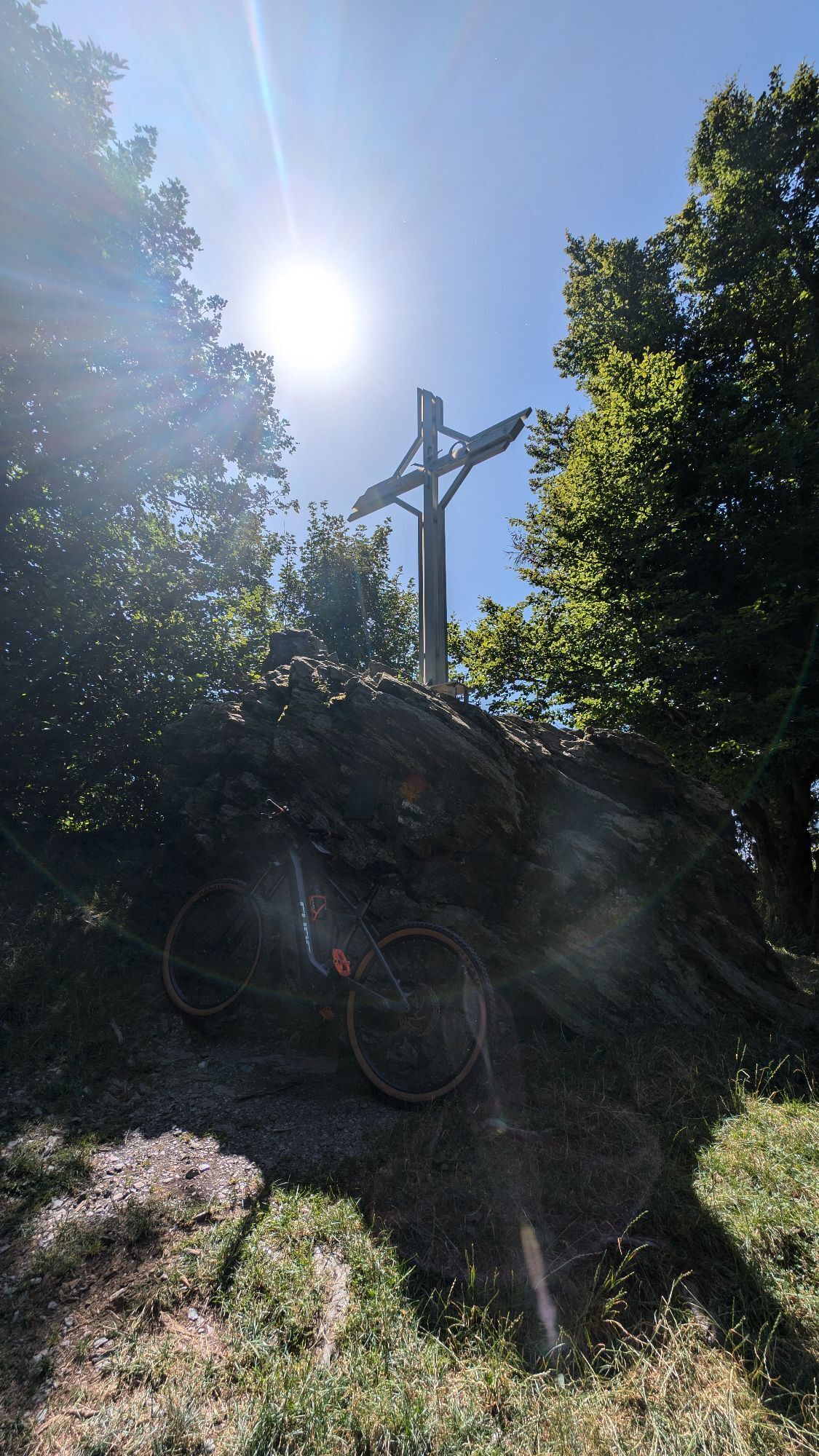
 © Klaus LehnerUtworzono dnia 31.07.2024
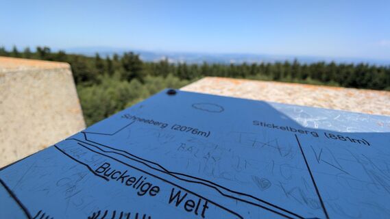 © Klaus LehnerUtworzono dnia 31.07.2024
 © Klaus LehnerUtworzono dnia 31.07.2024
 © Klaus LehnerUtworzono dnia 31.07.2024
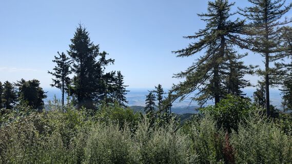 © Klaus LehnerUtworzono dnia 31.07.2024
 © Klaus LehnerUtworzono dnia 31.07.2024
 © Klaus LehnerUtworzono dnia 31.07.2024
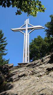 © Klaus LehnerUtworzono dnia 31.07.2024
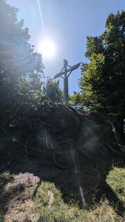 © Klaus LehnerUtworzono dnia 31.07.2024
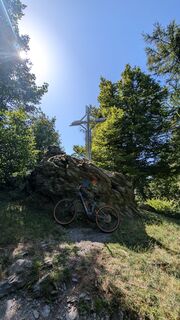 © Klaus LehnerUtworzono dnia 31.07.2024
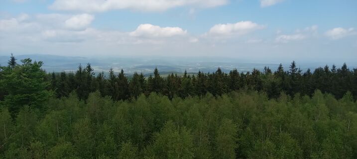
 © Peter GyUtworzono dnia 09.05.2026
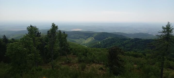 © Peter GyUtworzono dnia 09.05.2026
 © Anikó MákUtworzono dnia 04.04.2026
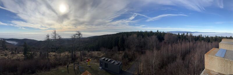
 © Meszaros MariannaUtworzono dnia 13.12.2025
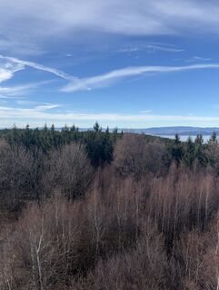 © Meszaros MariannaUtworzono dnia 13.12.2025
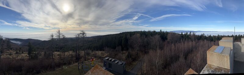 © Meszaros MariannaUtworzono dnia 13.12.2025
 © Richard HuberUtworzono dnia 09.11.2025
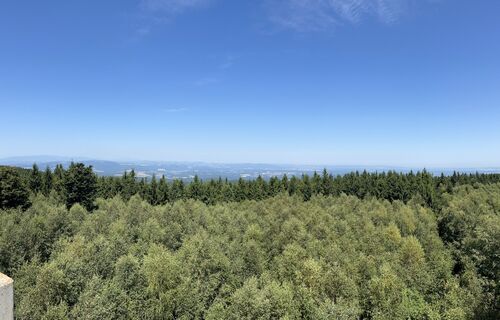 © Ágnes KecskésUtworzono dnia 09.08.2025
 © Ágnes KecskésUtworzono dnia 09.08.2025
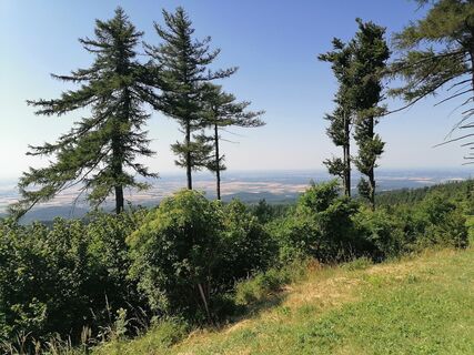
 © Varga TamásUtworzono dnia 06.07.2025
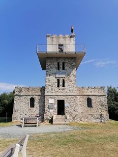 © Varga TamásUtworzono dnia 06.07.2025
 © Stefan WusitsUtworzono dnia 20.04.2025
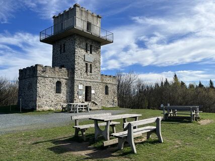 © Stefan WusitsUtworzono dnia 20.04.2025
 © Stefan WusitsUtworzono dnia 20.04.2025
 © Stefan WusitsUtworzono dnia 20.04.2025
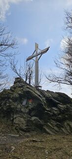
 © Ingrid HUtworzono dnia 27.03.2025
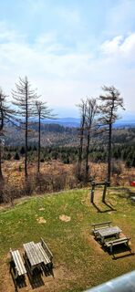 © Ingrid HUtworzono dnia 27.03.2025
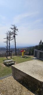 © Ingrid HUtworzono dnia 27.03.2025
 © Ingrid HUtworzono dnia 27.03.2025
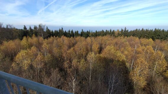
 © István Gábor 1Utworzono dnia 07.11.2024
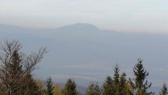 © István Gábor 1Utworzono dnia 07.11.2024
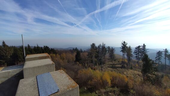 © István Gábor 1Utworzono dnia 07.11.2024
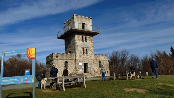 © István Gábor 1Utworzono dnia 07.11.2024


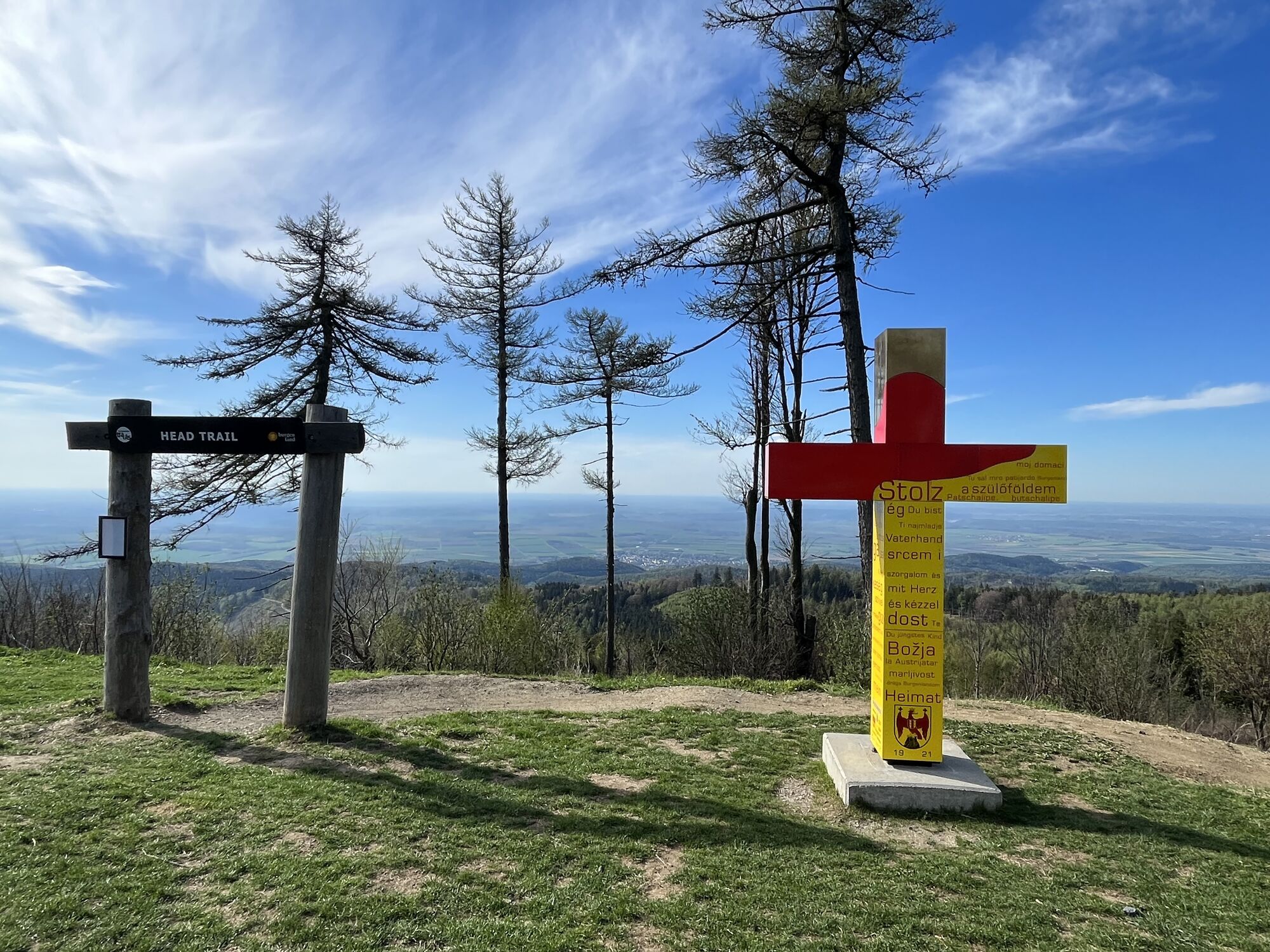


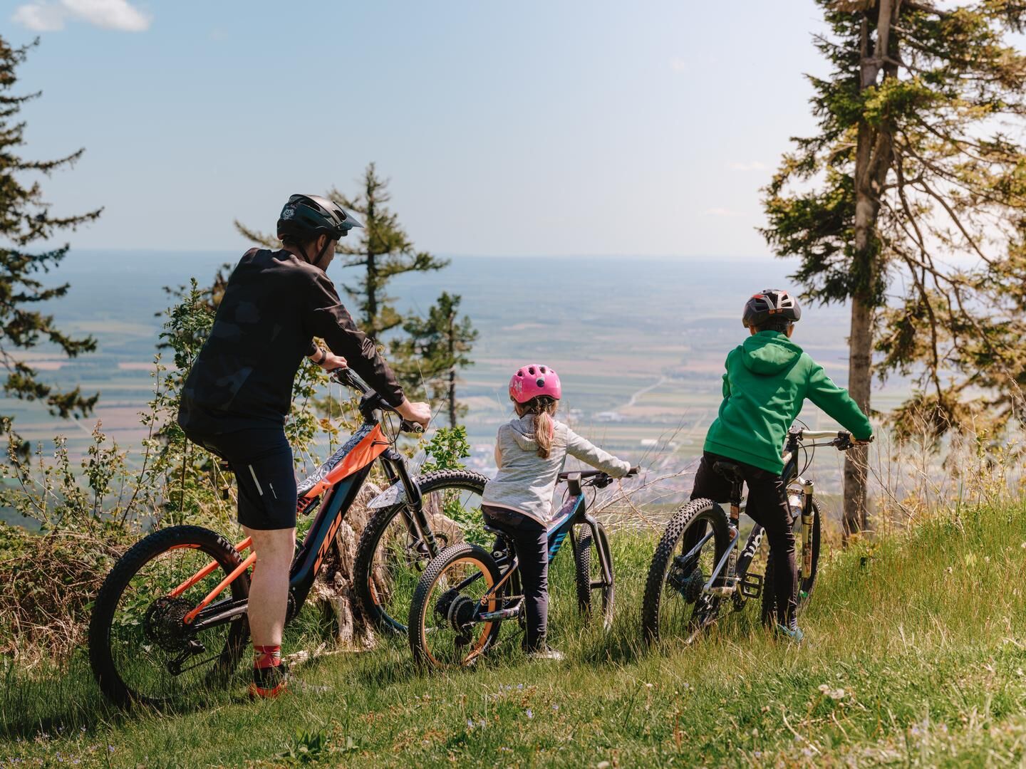
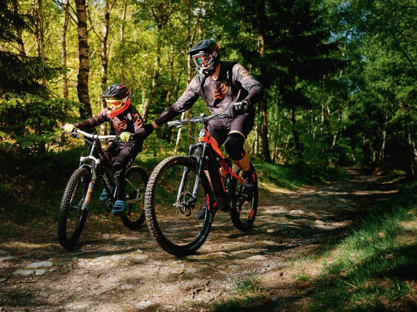
The Headtrail connects all trail entrances from the highest point of Burgenland towards the parking lot at the pass height and is rather flat. The upper part is technically designed with stones and roots,...
The Headtrail connects all trail entrances from the highest point of Burgenland towards the parking lot at the pass height and is rather flat. The upper part is technically designed with stones and roots, while from the middle onwards, it is perfect to start the world of trails also with children.

Downhill: From the rest area at the Geschriebenstein lookout tower heading west to the Ranch parking lot.
Uphill: From the Ranch parking lot uphill heading east to the Geschriebenstein lookout tower via the forest road.
Tak
Bicycle helmet and possibly protective gear
Uphill goes via a closed forest road, which is shared respectfully with pedestrians.
From Vienna, the easiest way to get to South Burgenland is via the A1, A21, A3, A4 or S31 motorways/highways; from Graz via the A10 then the A2, or the A9 then the A2 roads.
You can get to Burgenland from Vienna and Graz by bus or train. The ÖBB Nightjet sleeping car, couchette or seat travel takes you from Villach/Innsbruck to Vienna, as well as from Feldkirch, Düsseldorf, Hamburg Altona, Livorno Centrale station to Graz.
You can reach South Burgenland from Graz by Südburgenland bus.
Southern part
Lake Rohonc: Many parking spaces are available next to the lake to access the Burgenland Trails from the south. On the Geschriebenstein South Trails (up- & downhill route), you first arrive at the Ranch parking lot (pass height [B56 main road, pass]), then you can continue towards Írott-kÅ from there.
Central part
Ranch parking lot: In the central part of the trails, cars can be parked at the Ranch parking lot, which is directly located at the pass (pass height) [B56 main road]. From here, you can either ride the Rechnitz Trail (downhill) towards Lake Rohonc or take the uphill version of the Head Trail towards Írott-kÅ.
Northern part
Margit lookout (Margarethenwart): On the northern side of the Burgenland Trails, parking is possible at the Margit lookout. From there, via the Paulusbrunnen (Pálkút) Trail (up- & downhill route), you can reach the Lake Vár (Lockenhaus/Burgsee), where sufficient parking spaces are available. From the north, you can then reach the Geschriebenstein North Trails (up- & downhill route) continuing to Írott-kÅ.
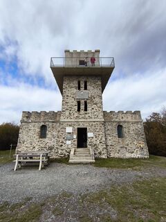
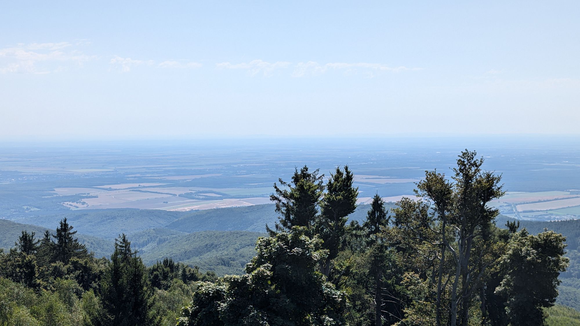
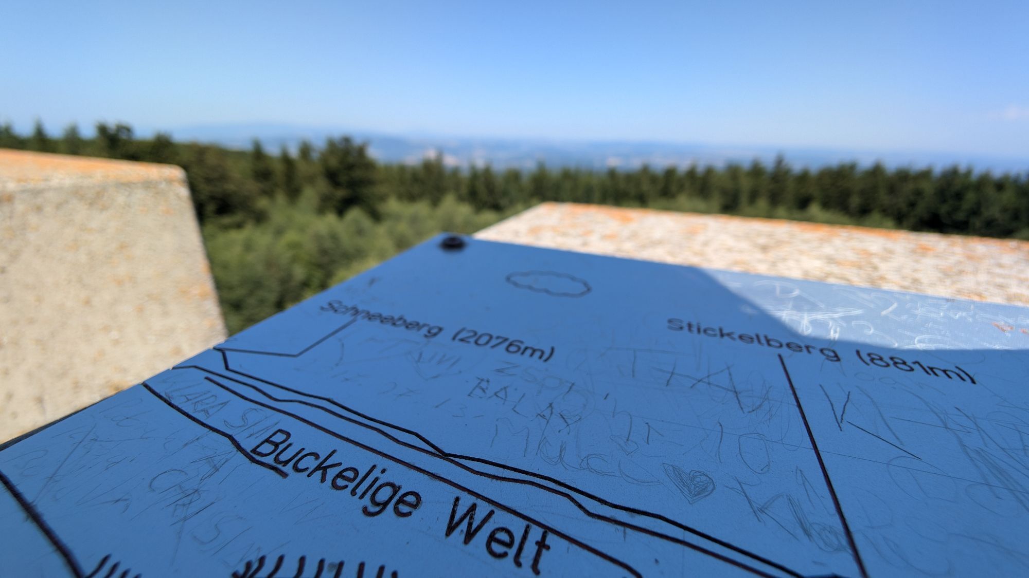
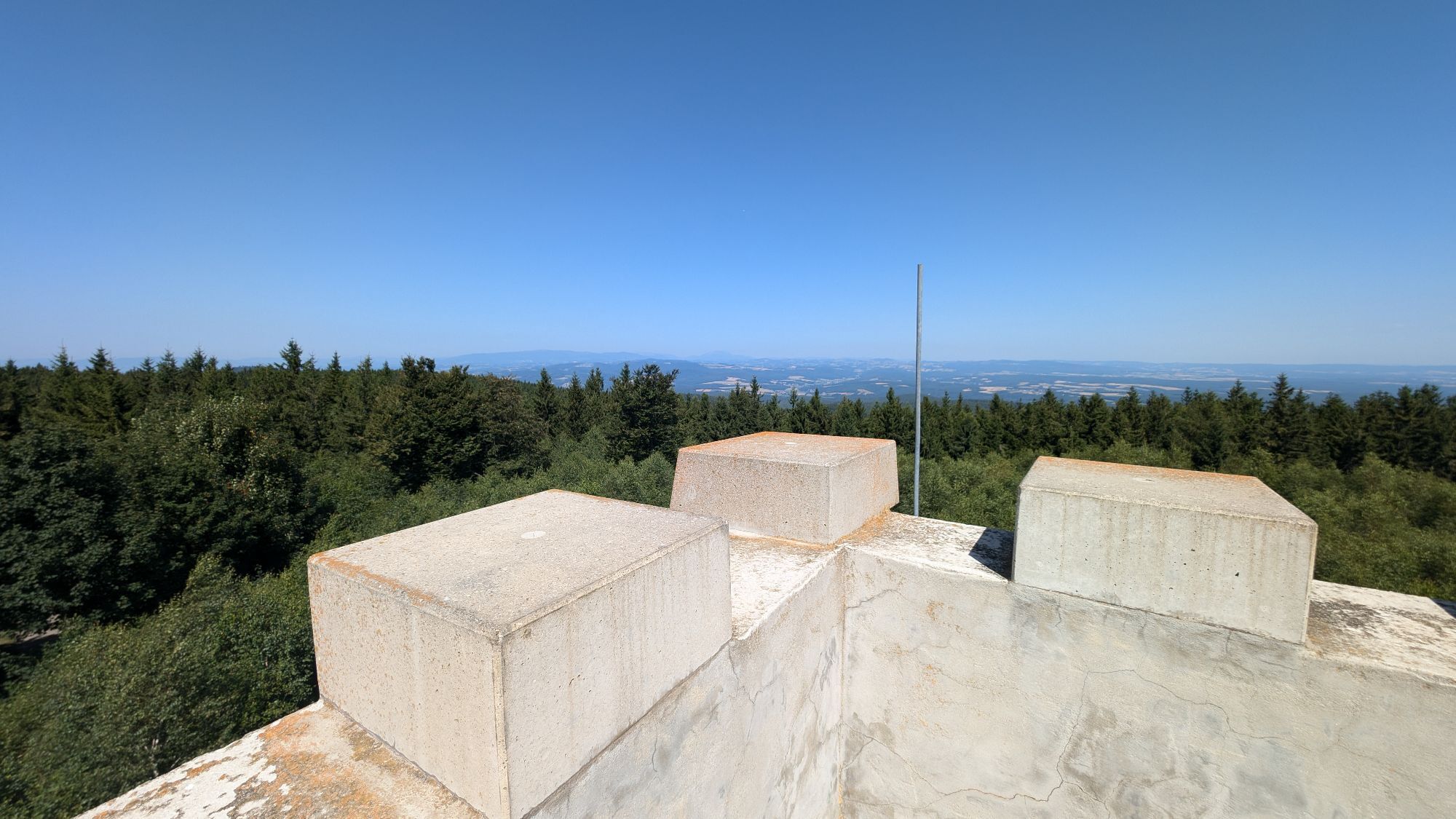
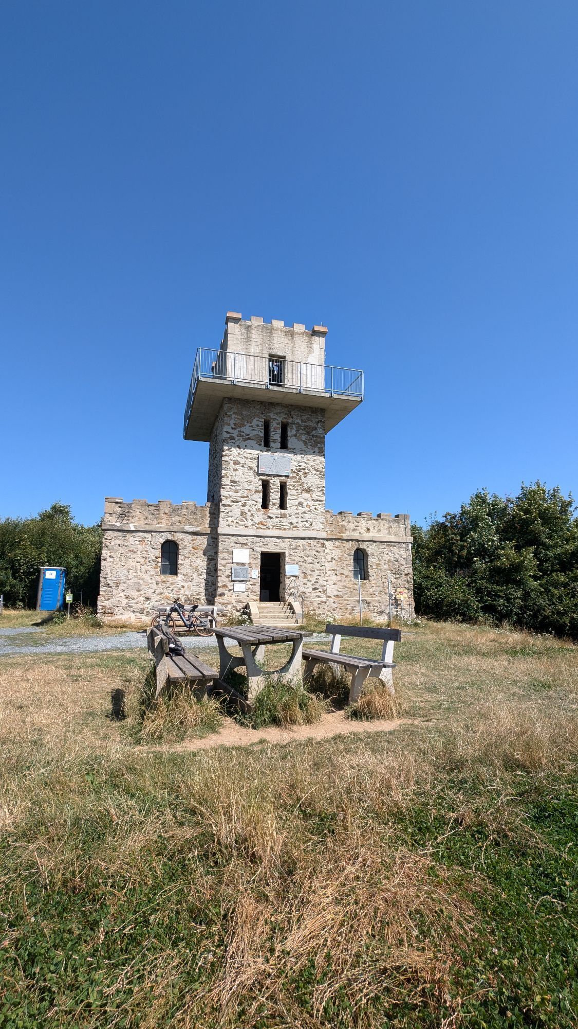
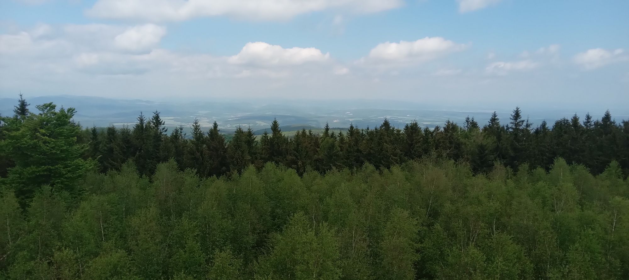
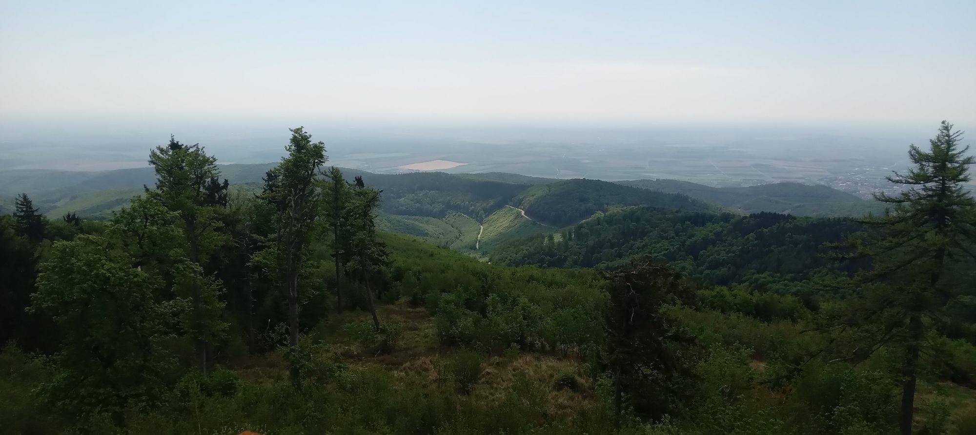
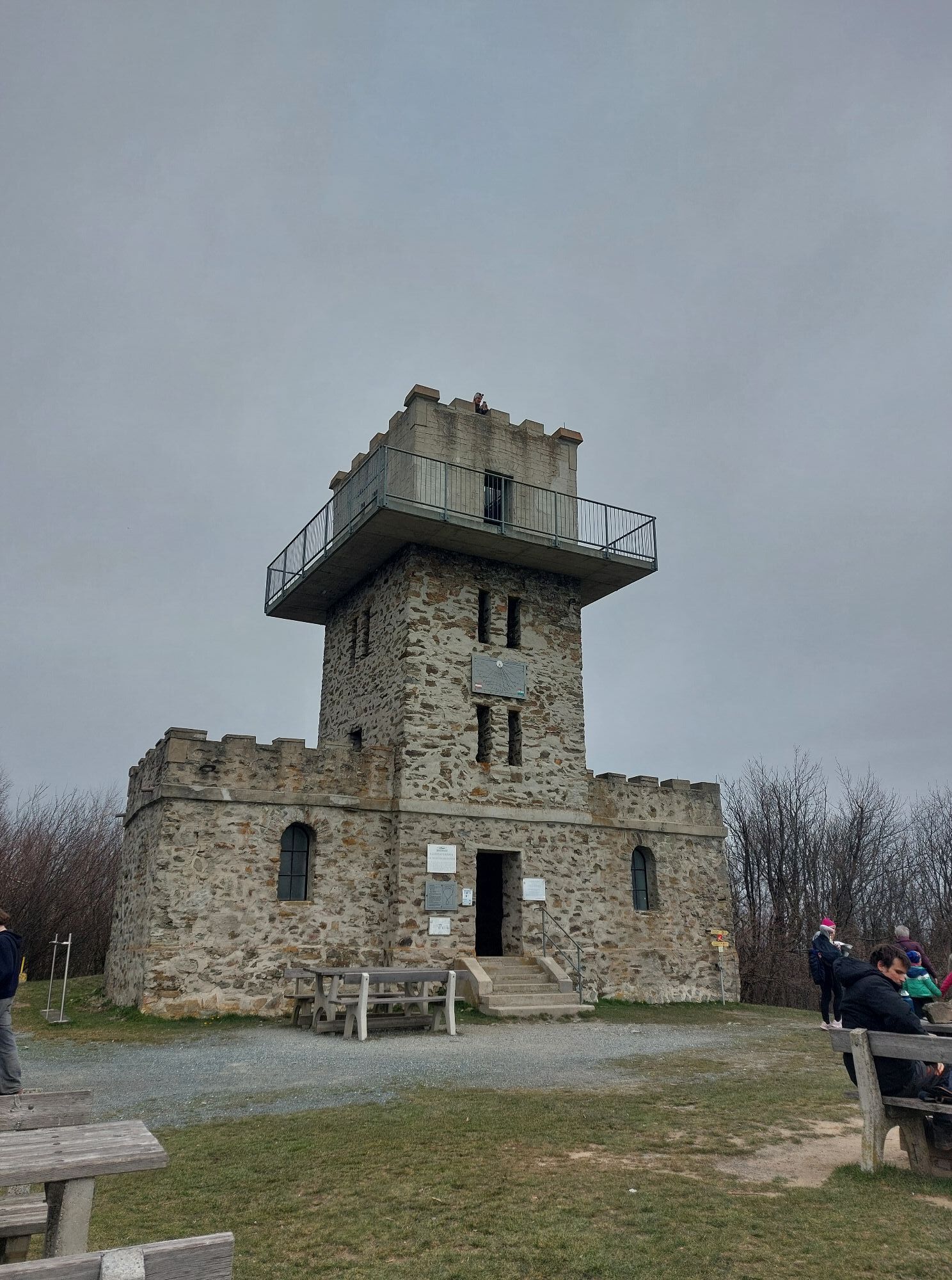
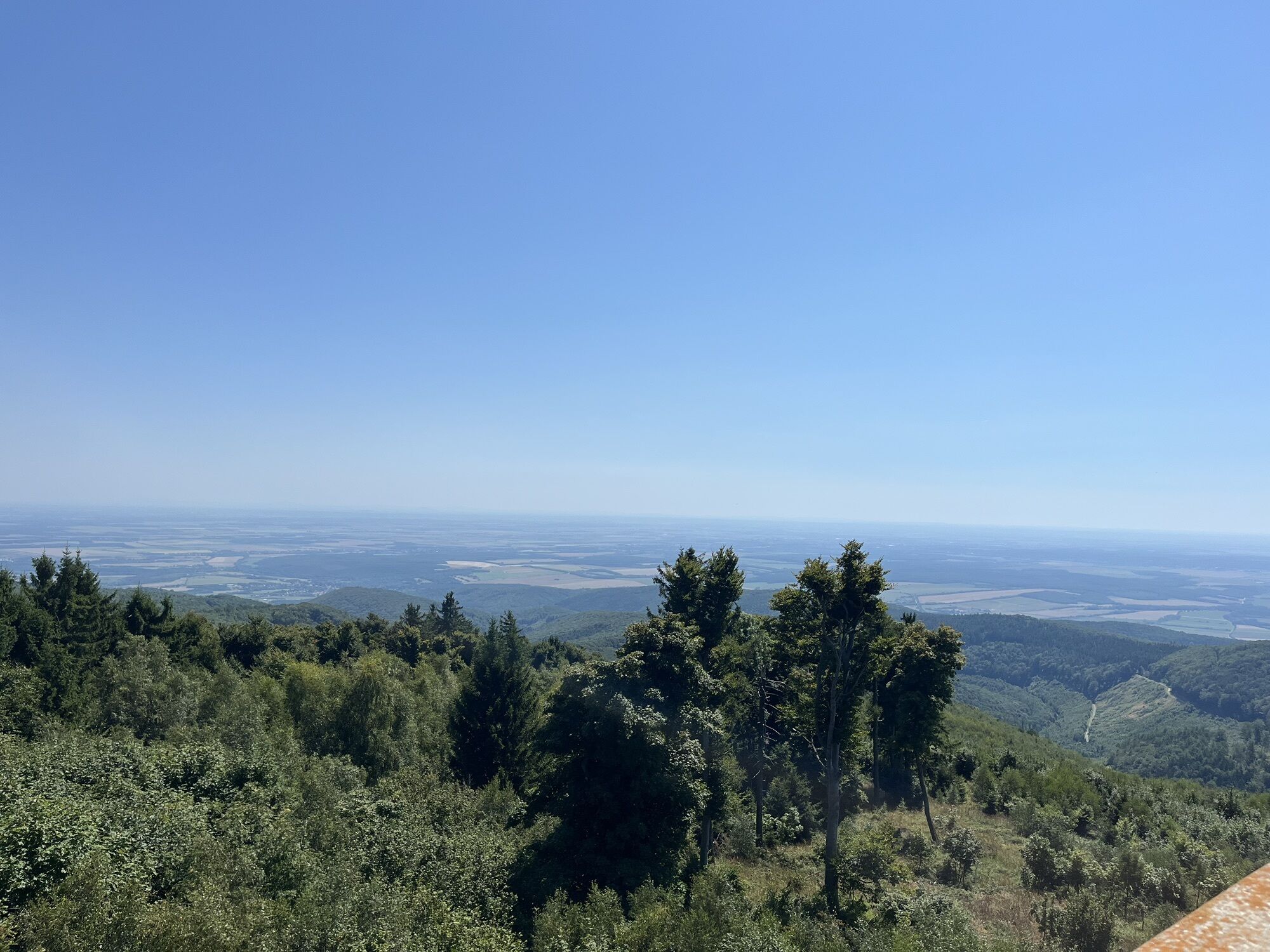
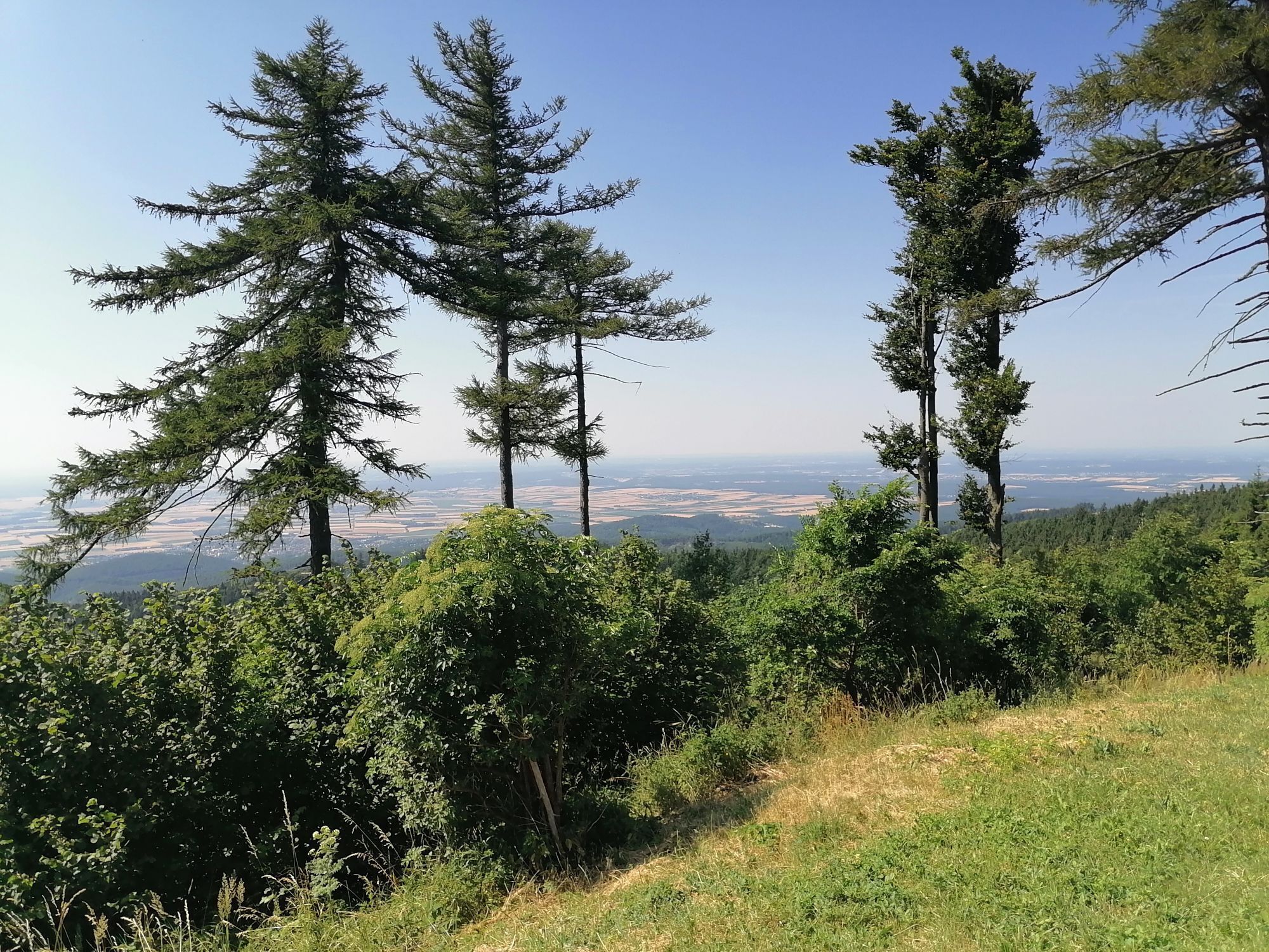
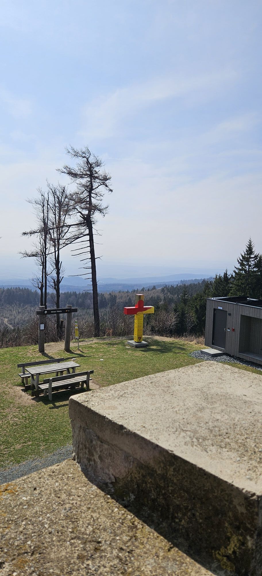
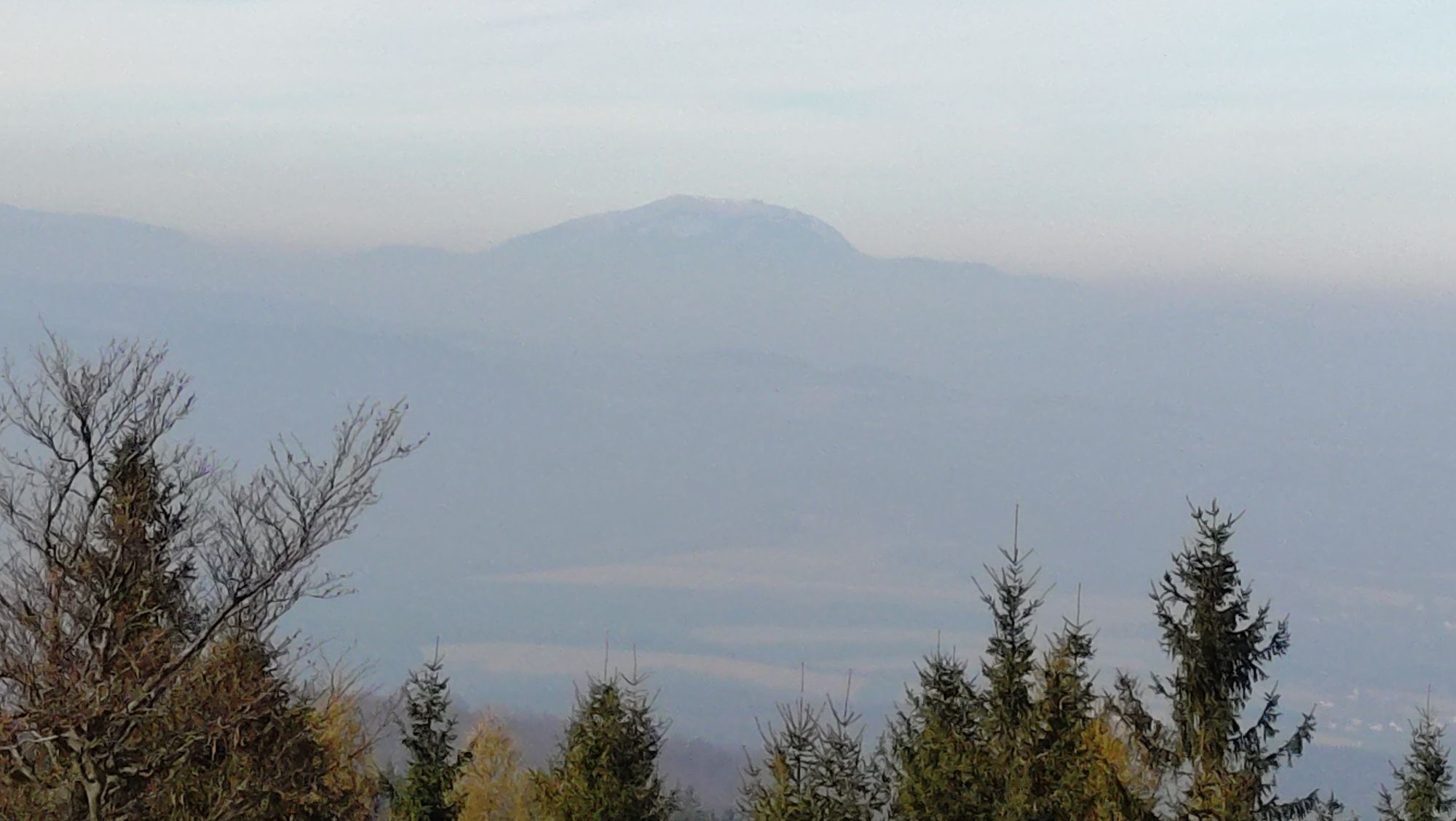
The "climb" of the two kilometers from the pass height to the observation tower at Geschriebenstein is rewarded with a brilliant view. In the best case, you can even see Lake Neusiedl here. The tower, which is half in Austria and half in Hungary, also marks the highest point of Burgenland.
Aktywności na trasie
Rechnitz, Burgenland/Österreich
01.05.2026 – Wędrówka
Rechnitz, Burgenland/Österreich
08.04.2026 – WędrówkaRechnitz, Burgenland/Österreich
05.10.2025 – Wędrówka
Rechnitz, Burgenland/Österreich
04.10.2025 – WędrówkaRechnitz, Burgenland/Österreich
07.11.2024 – Przechadzka
Geschriebenstein
02.10.2022 – Wędrówka
Popularne wycieczki w okolicy
- 4,3
Railway track bike path
średniJazda na rowerze 41,6 km - 4,6
S21 Peace Circular Route
światłoWędrówka 11,4 km - 4,4
B53 Edelserpentin
średniJazda na rowerze 23,5 km - 4,4
Summit hiking route
ciężkiWędrówka 20,6 km - 5,0
Südburgenländischer Bahntrassen-Radweg
światłoJazda na rowerze 67 km - 4,1
Geschriebenstein
światłoWędrówka 3,90 km - 3,0
Günser Gebirge: Geschriebenstein
światłoWędrówka 7,61 km - 4,7
S24 Neustiftrunde
Wędrówka 9,22 km - 4,8
B41 Zöberntal-Rabnitztal cycle trail
średniJazda na rowerze 40,7 km - 5,0
Geschriebenstein Roas
ciężkiWędrówka 55,3 km

Wędrówki i tropienie


Nie przegap ofert i inspiracji na następne wakacje
Twój adres e-mail została dodana do listy mailingowej.