







Paradise Route Stage 6

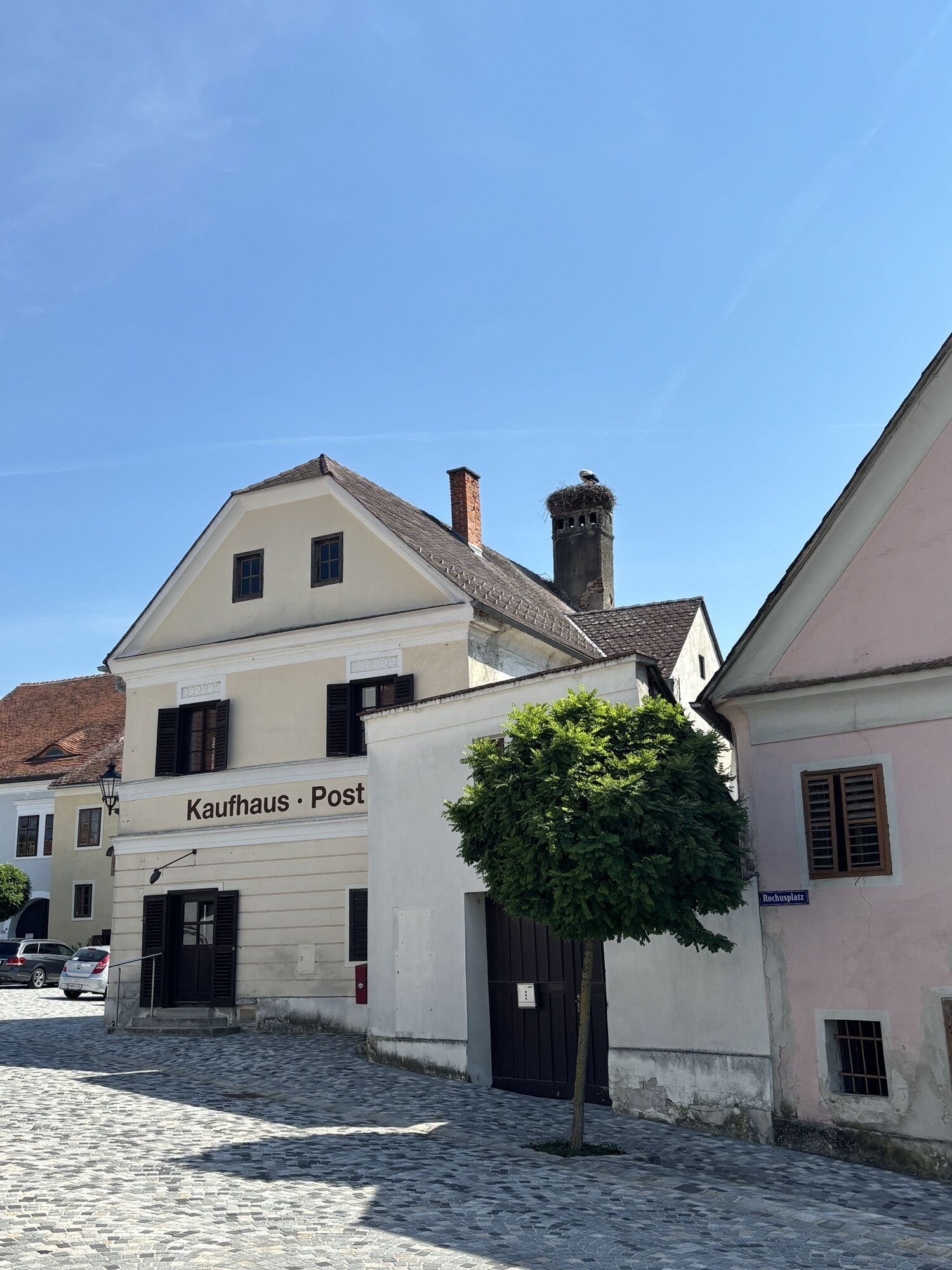
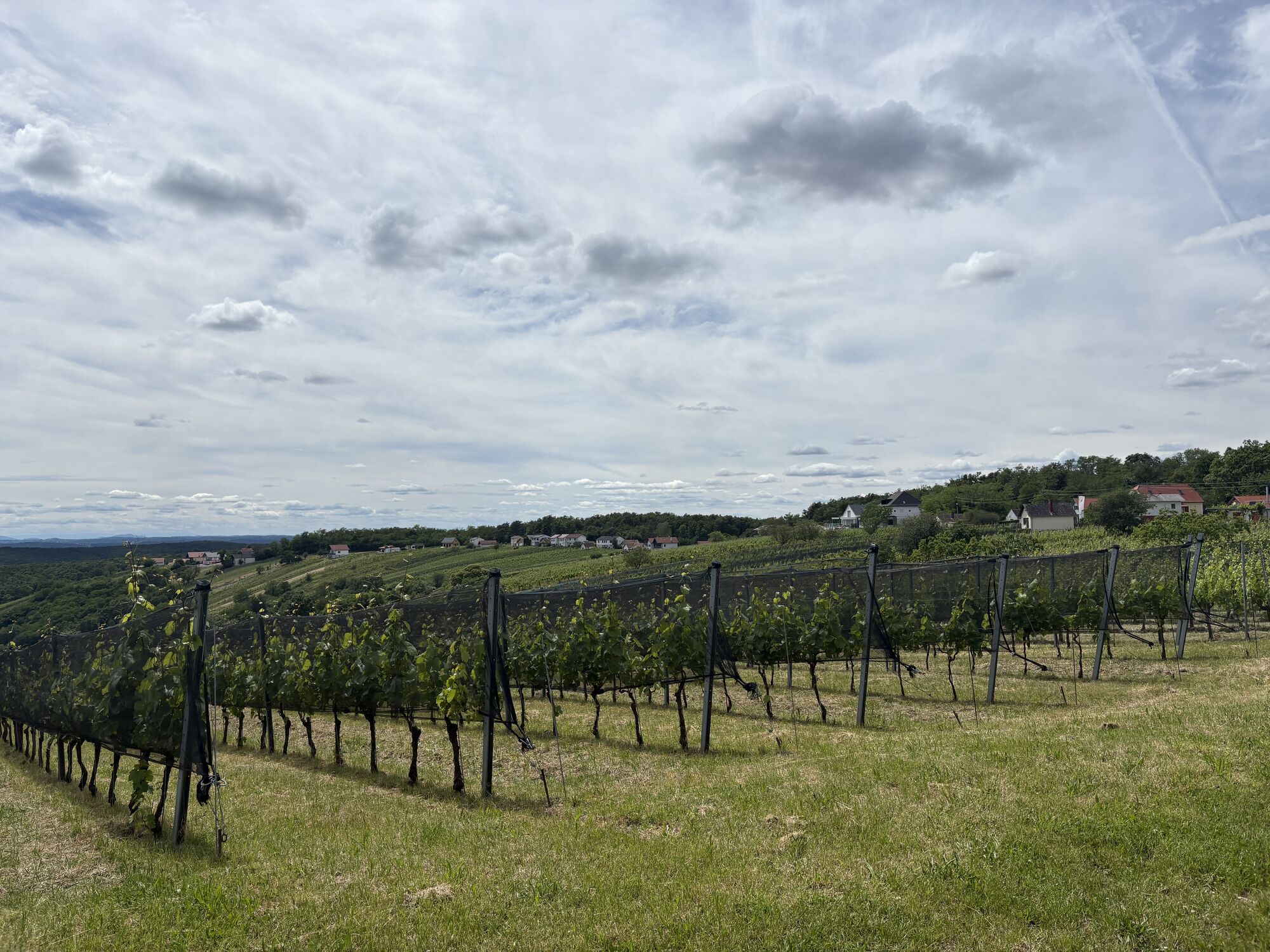
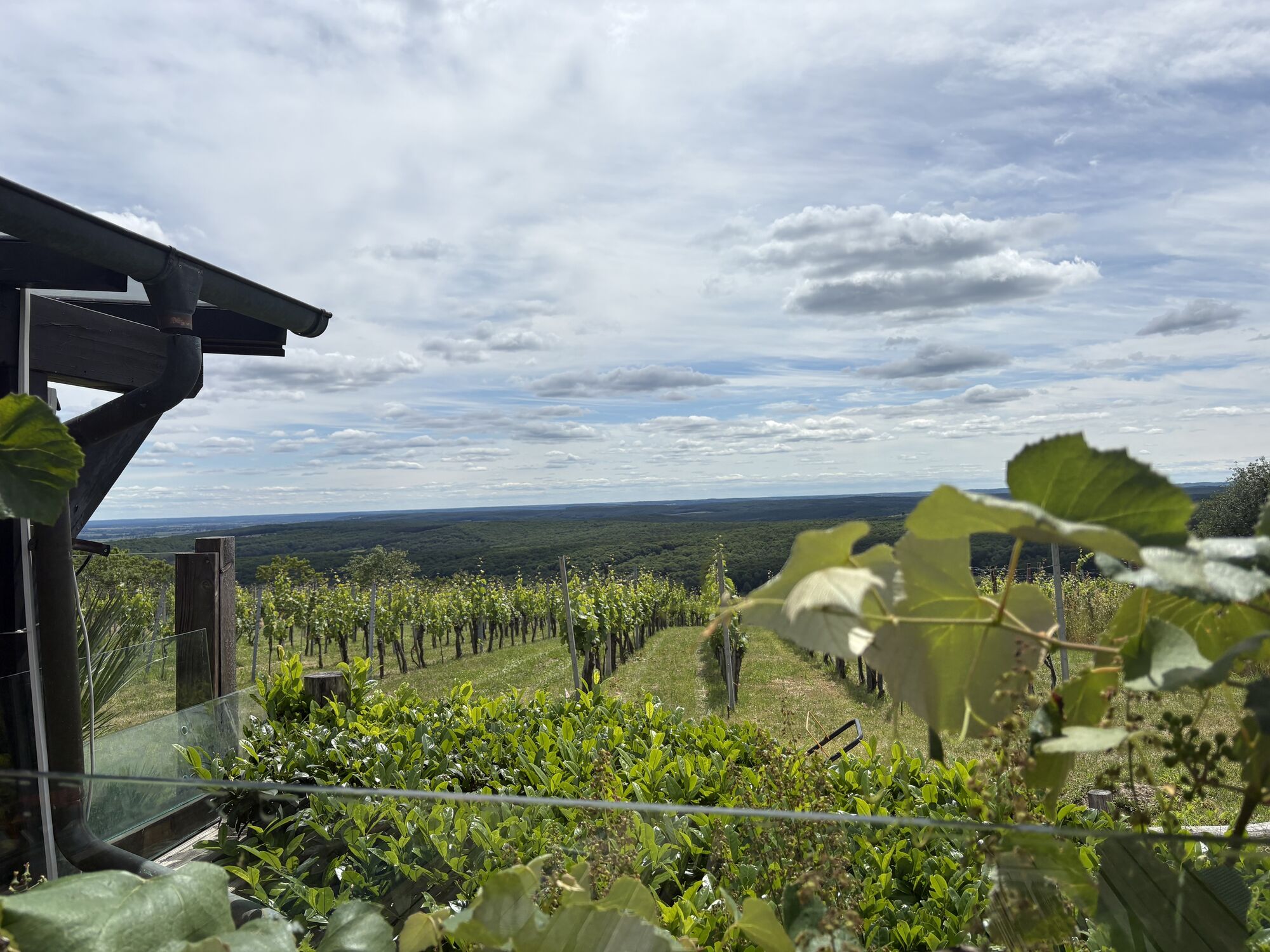
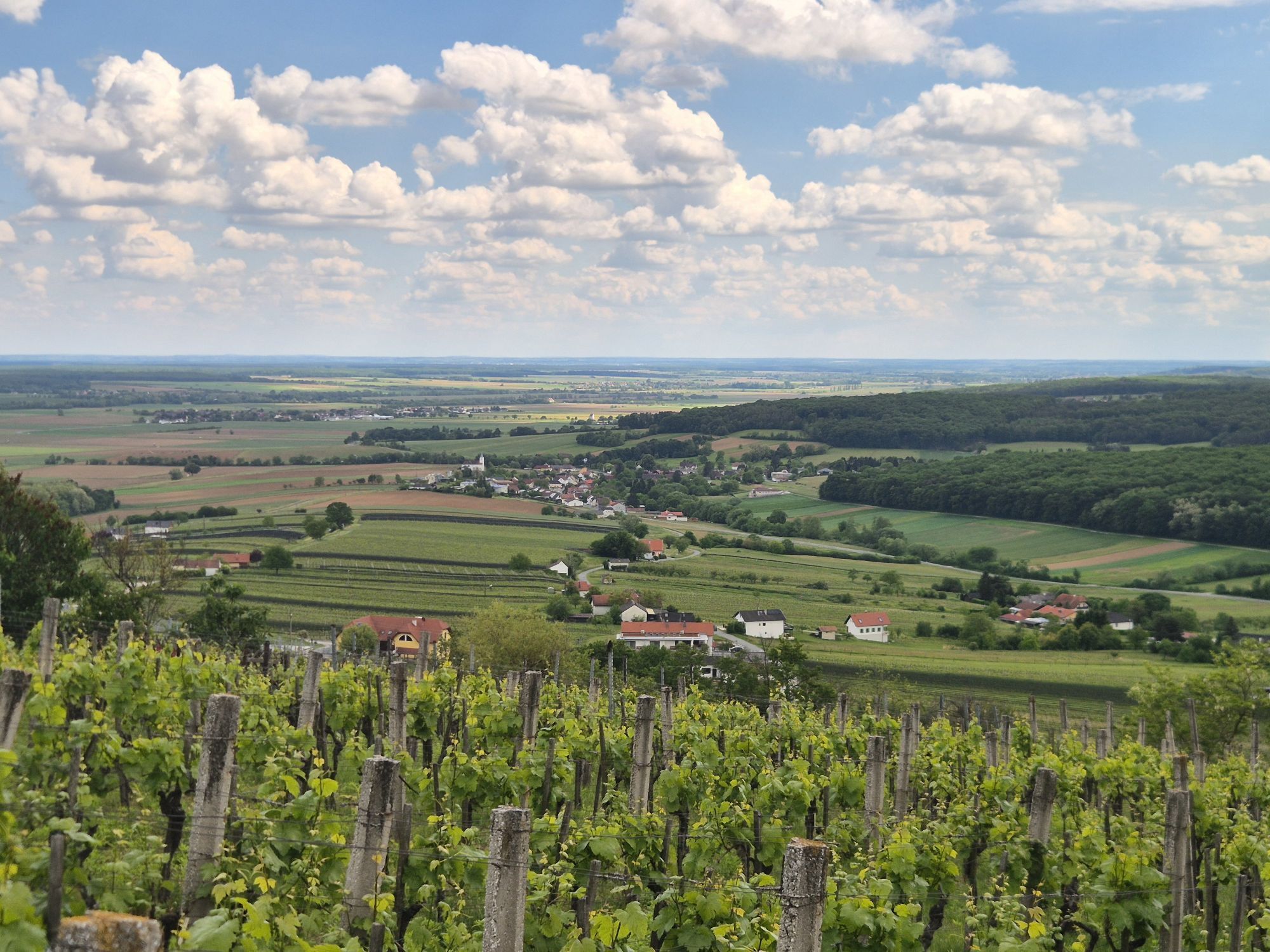

Today's stage of the Paradise Route begins on a "mountain," the Eisenberg in the eponymous town. Not far from the route, you will find the "Dörflichen Nature Park" with a playground for children and the...
Today's stage of the Paradise Route begins on a "mountain," the Eisenberg in the eponymous town. Not far from the route, you will find the "Dörflichen Nature Park" with a playground for children and the wine tavern presenting red wine specialties of the region. The "Weinblick" viewing platform offers a fantastic panorama – before you leisurely roll downhill and cross the Pinka river near Burg, which has carved itself deep into the landscape and often flooded the town in the past.
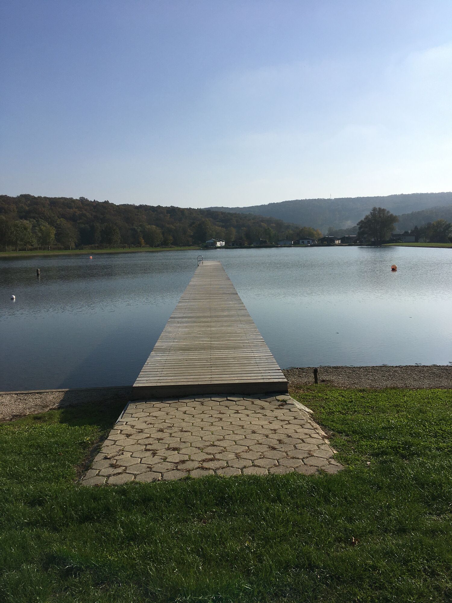
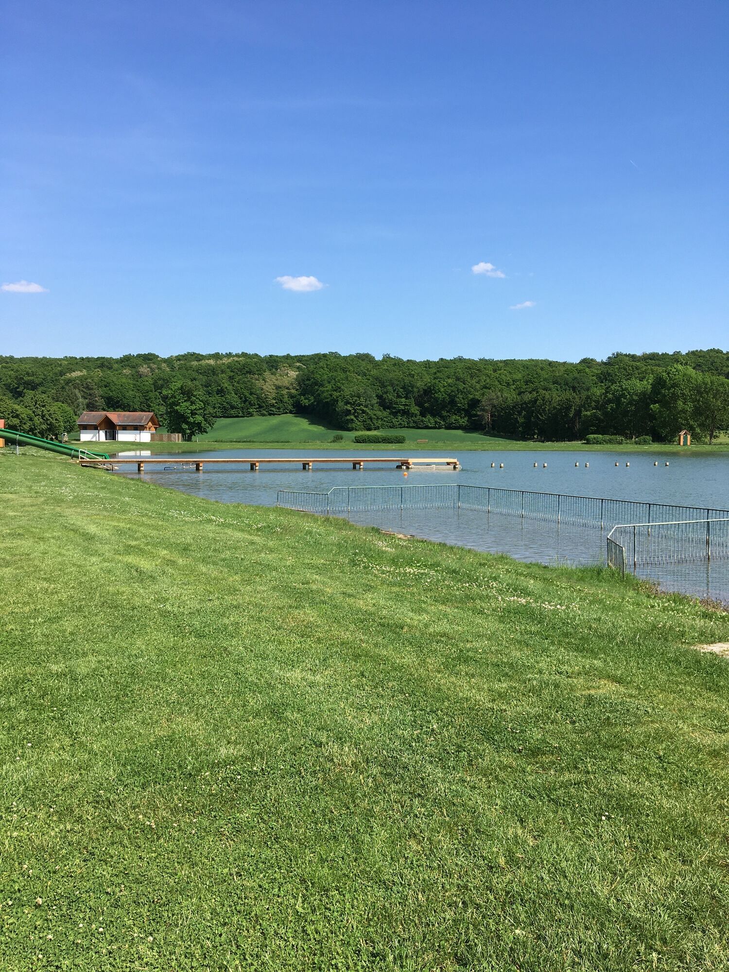
Passing a pretty bathing lake, Schandorf welcomes you with some special features: after all, the settlement history of the place goes back thousands of years. Around 750 BC, the iron deposits, smelting, and trade with iron made the "iron barons" of this area wealthy. Their wealth is evidenced by the largest barrow grave field in Central Europe, with its 285 giant burial mounds. Before you ride across the now open border into Hungary, you have the opportunity at a rest stop to engage with the "Iron Curtain" and enjoy the view over the gentle, fertile valley.
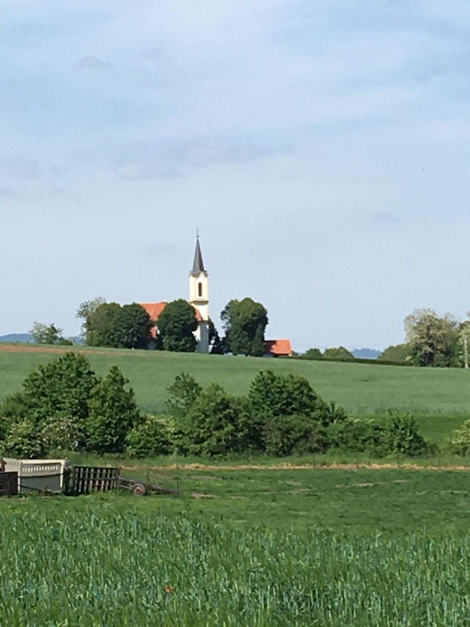
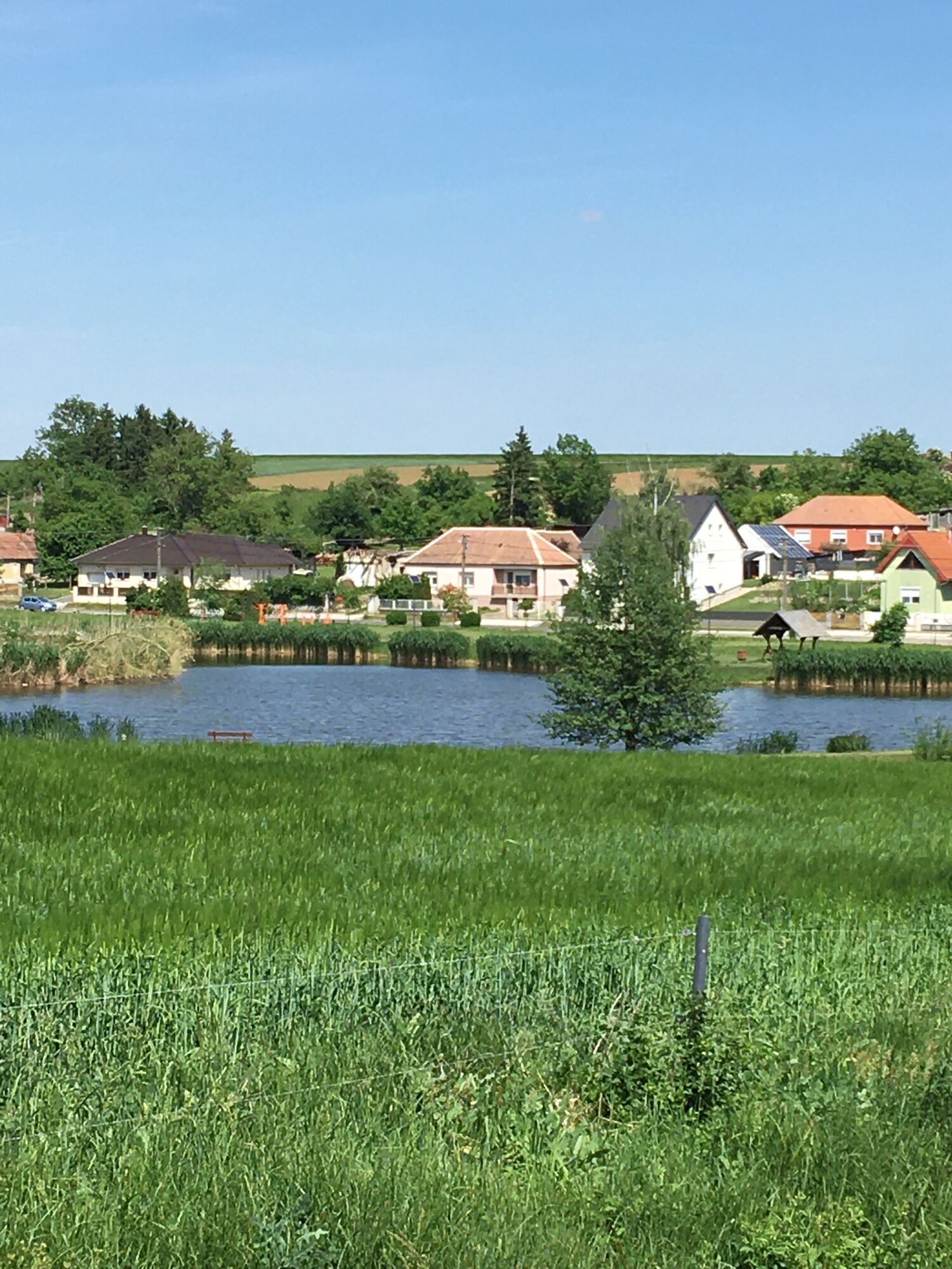
The next rest stop awaits you at a small pond just before the Hungarian village of Narda (village church from the 13th century). By the way, this section of the cycle path was only built in 2013 and has since offered a bikeable connection to the oldest city of Pannonia, today's Szombathely, the city of St. Martin.
Shortly before the old village Bucsu (first mentioned in 1236), you will come across remains of a Roman aqueduct directly on the cycle path. Then continue on the old, gravel-covered postal road back to Austria, where you can rest in a former customs house and learn about customs guard and gendarmerie during the Iron Curtain era. After a short distance, you will find a reconstruction of the Roman aqueduct that once supplied the city of Savaria (now Szombathely) from springs in the Günser mountain range (information panels).
Rechnitz, with its widely visible Protestant church, welcomes you for a worthwhile break (gastronomy, wine taverns). In the information office of the cross-border nature park Geschriebenstein - ÍrottkÅ, you can learn all about the diverse offerings of this large forest area around the Geschriebenstein (884 m), the highest elevation in Burgenland. Attractions of the market town (market rights since 1348) include the flower essence power park, the Roman sarcophagus exhibited alongside the nature park, as well as the bootmaker museum. Incidentally, almost every farmer in the region once owned the traditional boots made of fine leather, called "Czismen." At the southern edge of Rechnitz, the Kreuzstadl memorial reminds visitors that during the Nazi era Hungarian-Jewish forced laborers were brutally murdered here – and also that this crime was long repressed after the war. A detour to the bathing lake in the Faludital valley could round off your stay as well as a visit for wine tasting, for example at the Arkadenhof Mandl or the Koch winery.
Shortly before Markt Neuhodis, the unique sculpture park with statues by the sculptors Rudolf and Talos Kedl and a story by Oscar Wilde at a listening station offers enchantment. In Markt Neuhodis itself, a water mill from the 17th century clatters beside the rushing stream (guided tours). In the old smithy next door, you can try "trial smithing" yourself at the anvil and forge. A strenuous but rewarding detour of about five kilometers (difficult) would take you to the 500-meter-long tree top path in Althodis.
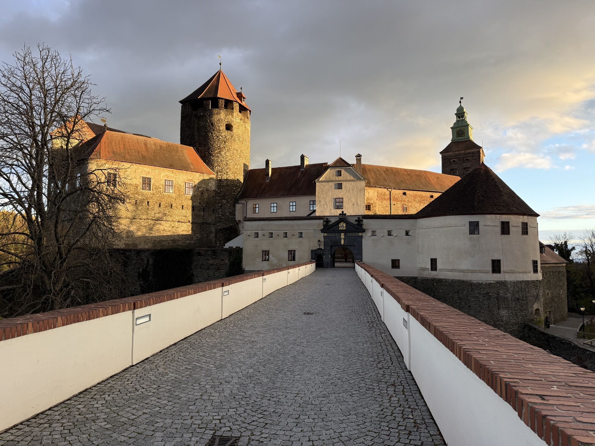
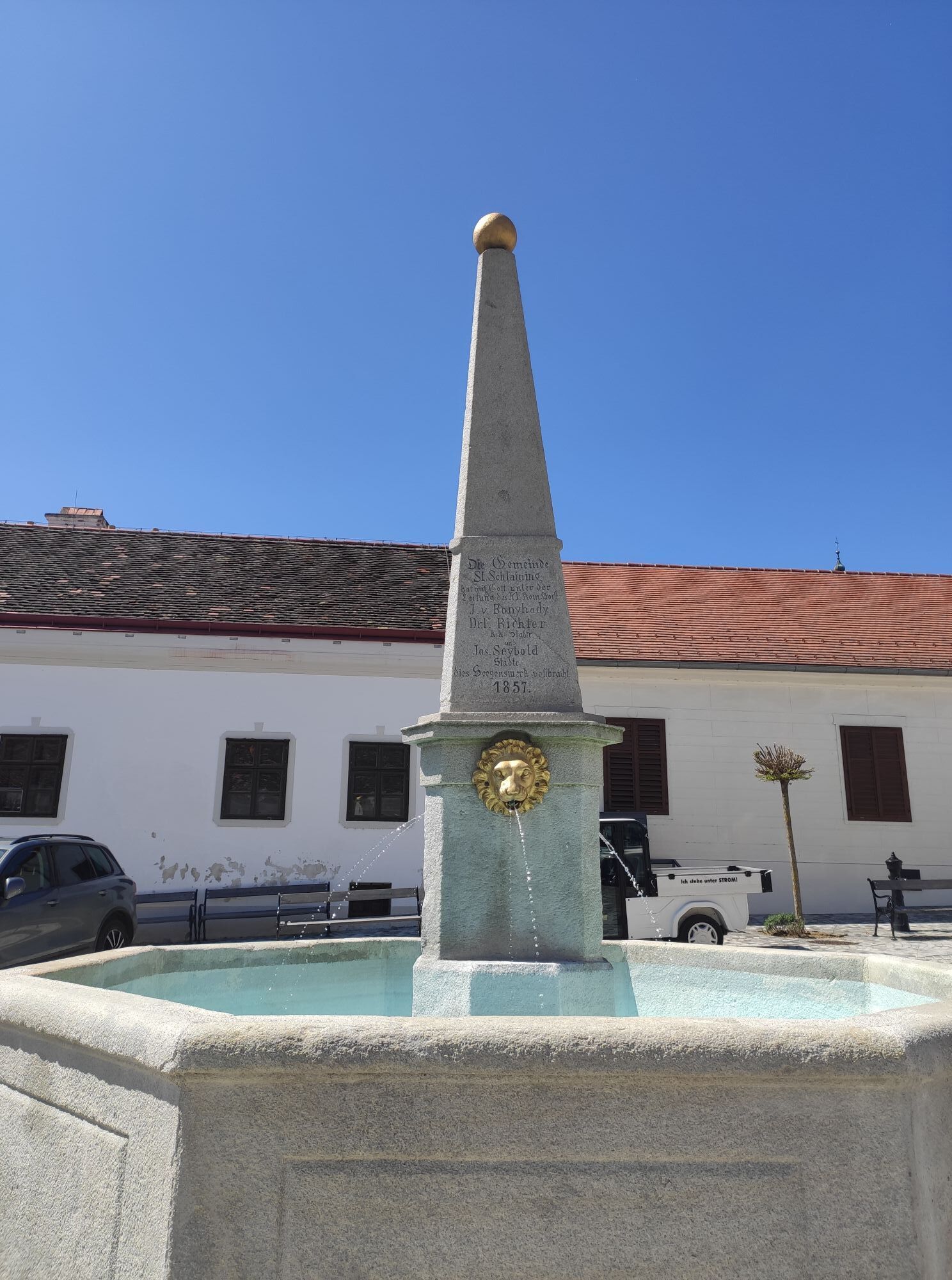
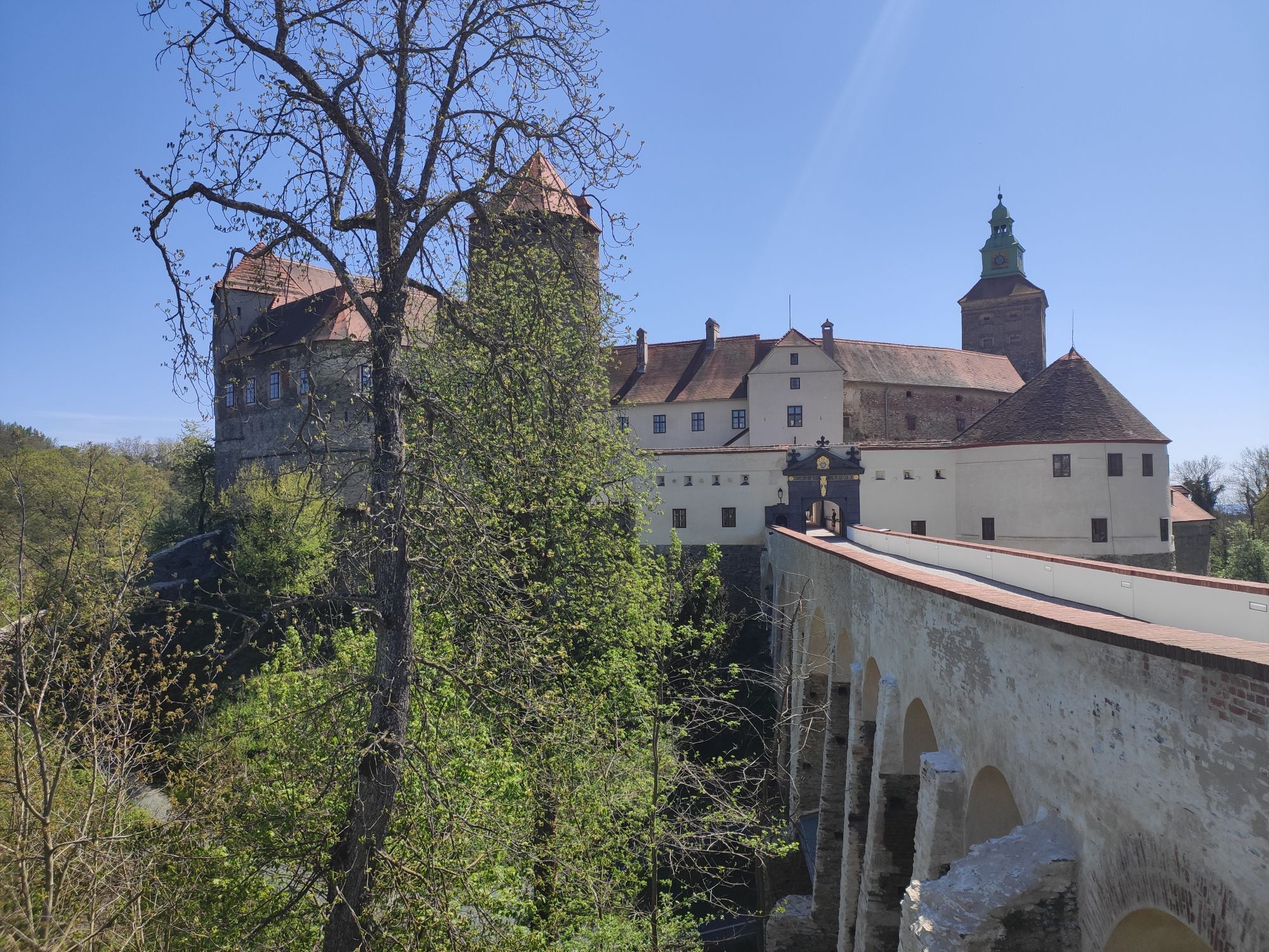
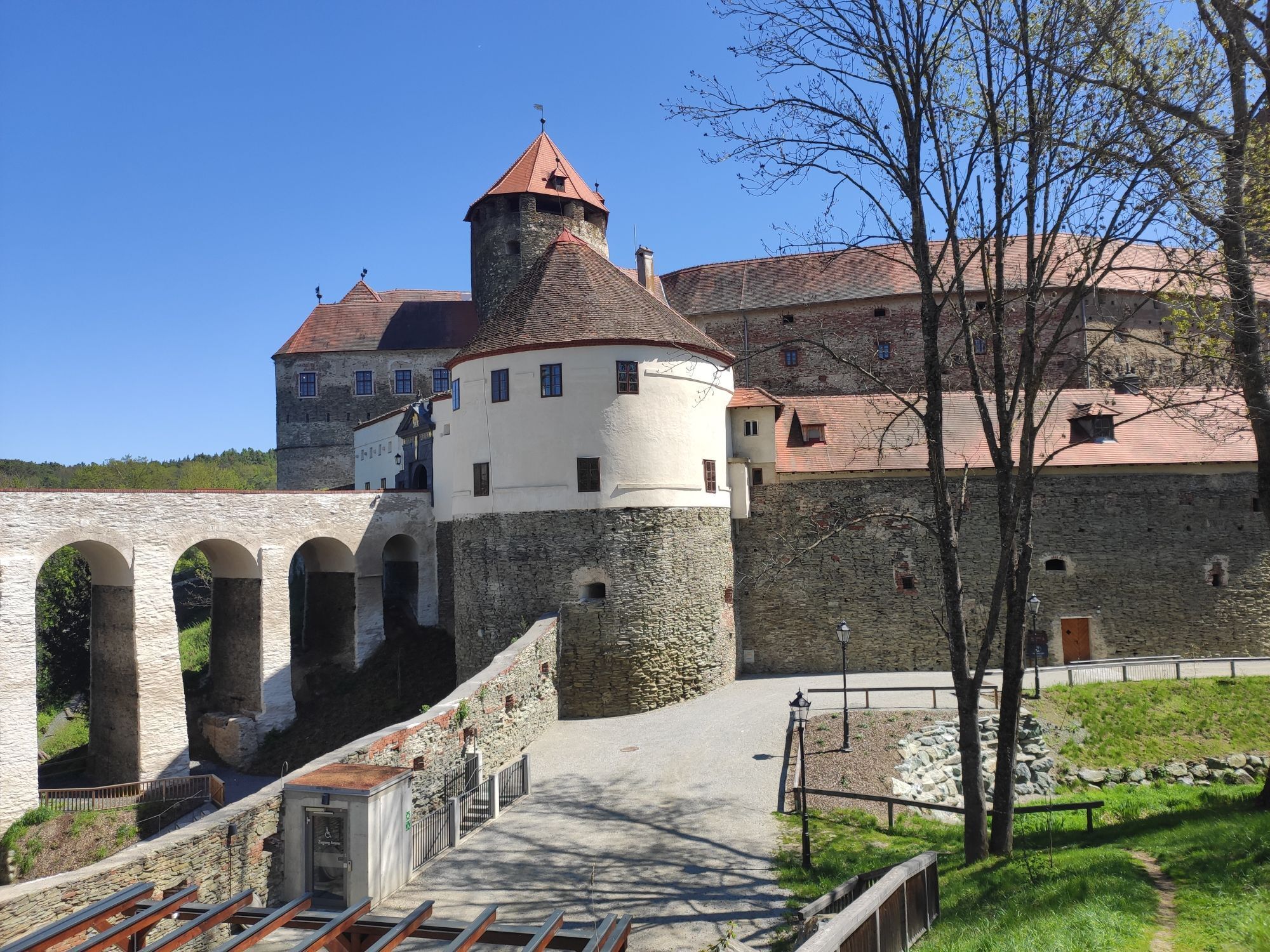
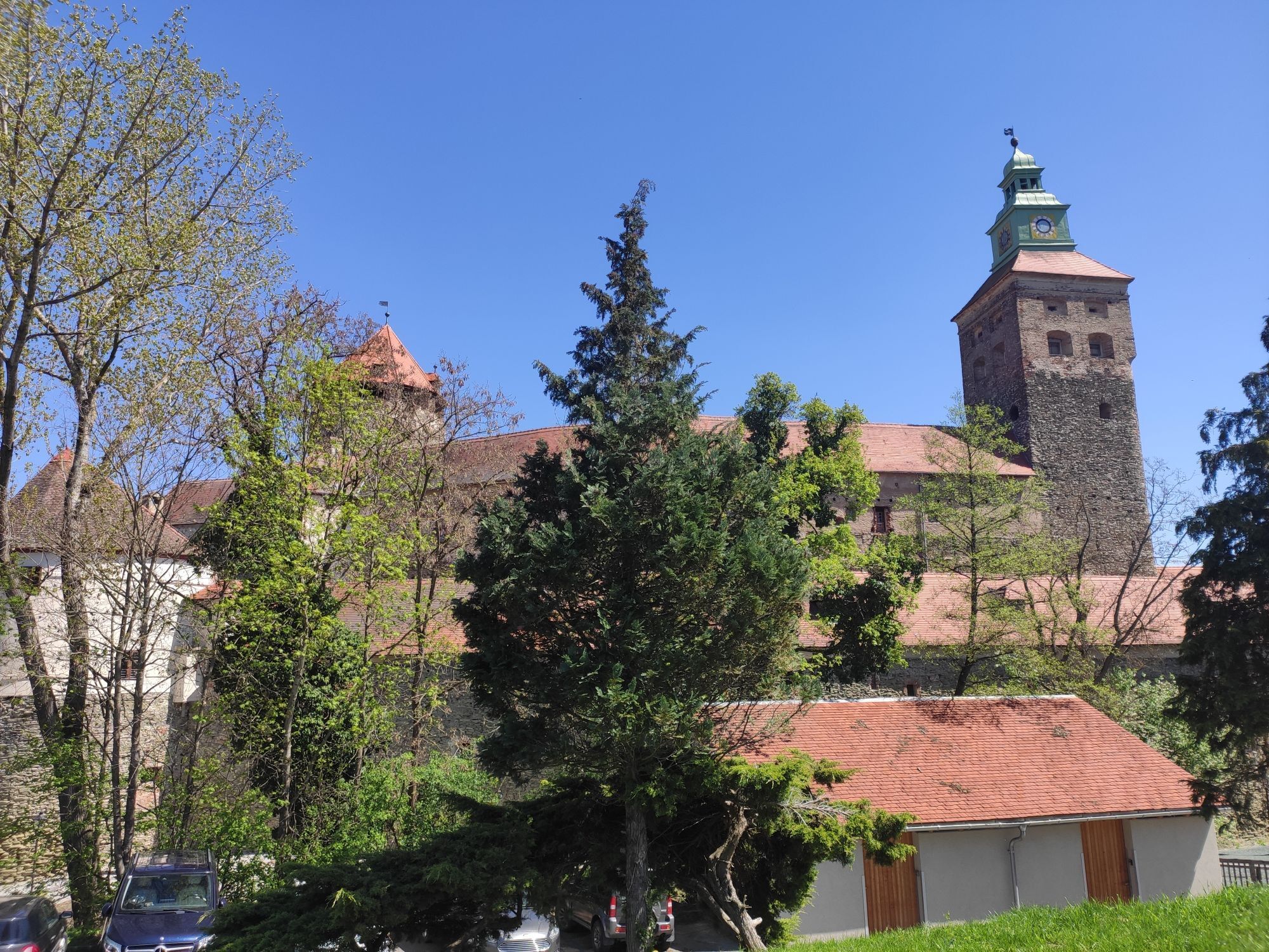
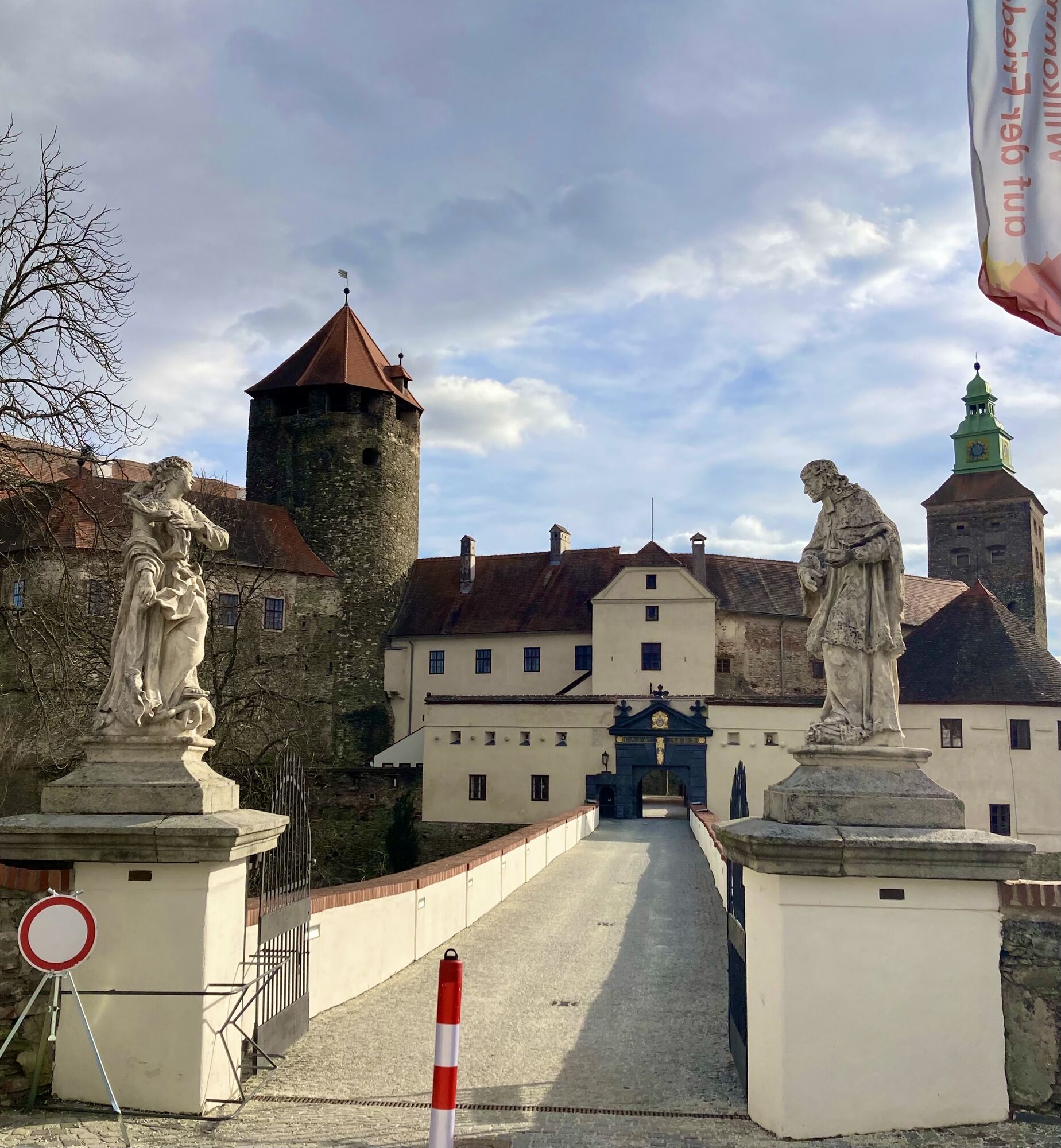
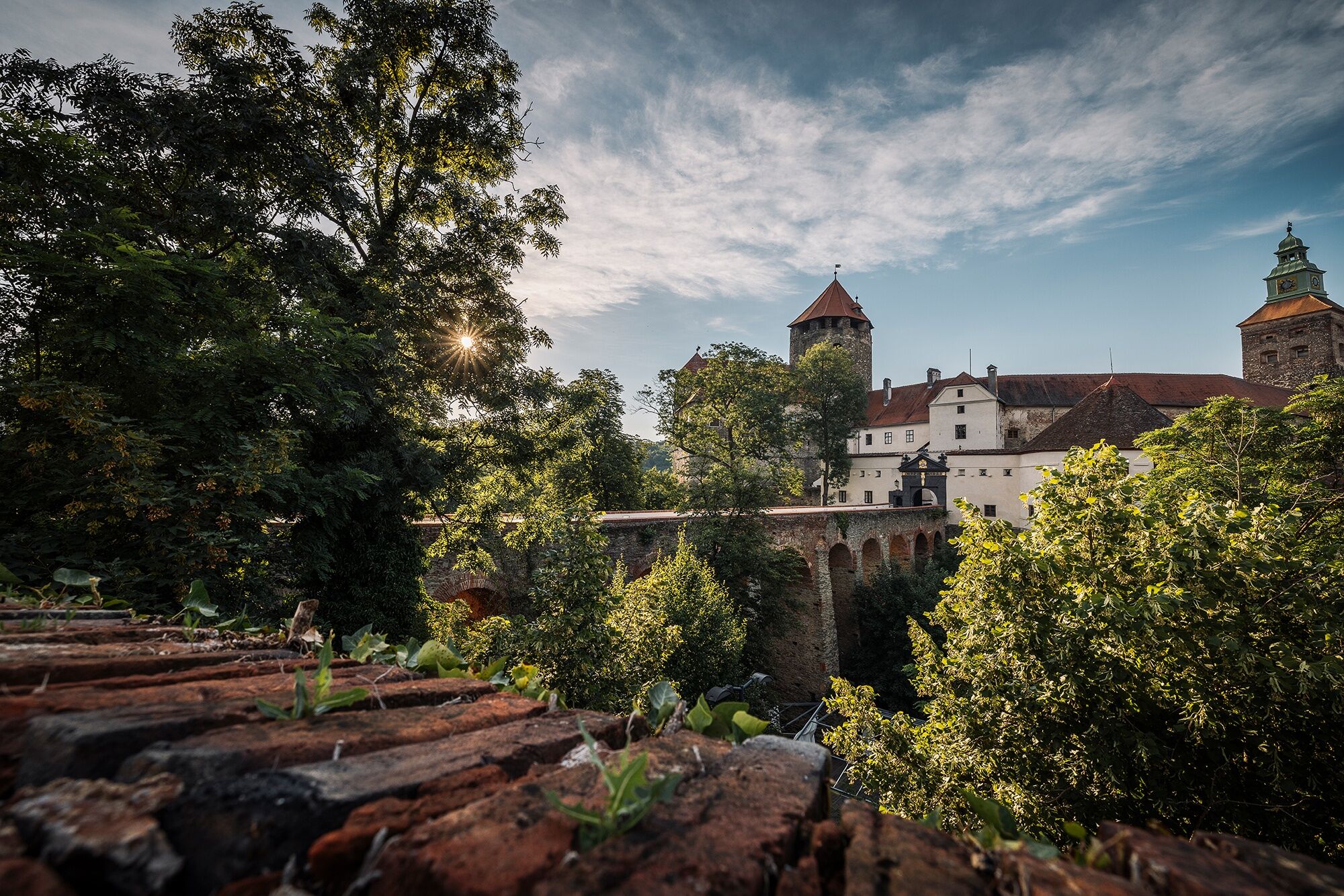
Passing through the villages of Zuberbach, Podler, Miedlingsdorf, Dornau, and Gieberling, you reach Stadtschlaining, where centuries-old bourgeois houses and remains of the medieval city wall breathe history. A historical hiking trail leads you through the tiny town and tells stories about places, houses, and inhabitants. A small city museum completes the information. The history of the town was largely shaped by the castle from the 12th/13th century, which today houses the European Museum of Peace, the Austrian Study Center for Peace and Conflict Resolution (exhibitions, guided tours), as well as the extraordinary folklore collection Toth.
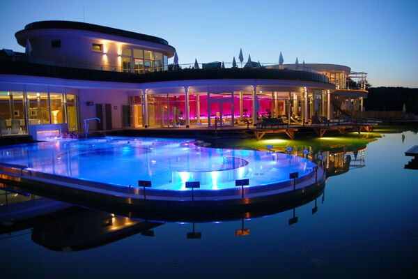
In the village of Drumling, a public carbonated mineral water spring at a rest stop reminds you that you are in a spa region. Shortly thereafter, you reach the spa town Bad Tatzmannsdorf, where health has been promoted in various ways since 1650. Today, treatments with carbonated mineral and thermal water as well as healing peat are the focus in the spa center with the charming spa park. The neighboring AVITA thermal baths with the huge Eden sauna garden offer pure wellness. The South Burgenland open-air museum shows residential and economic buildings from the past three centuries along with all household goods. And with the Spiegel praline manufactory, the Paradise shop (regional delicacies, E-bike rental), and the Kaplan Paradise confectionery at the spa park, you can also expect three excellent Paradise businesses in Bad Tatzmannsdorf.
Passing the Bad Tatzmannsdorf Golfodrome, one of the largest and best-equipped of its kind in Europe, you roll towards the endpoint of today's stage – the district capital Oberwart (bus station).


Tak
sturdy footwear, clothing according to weather, HELMET,
bicycle with safety equipment according to traffic regulations,
provisions; - drinks!, snack
Please wear a helmet and make sure your bike complies with traffic regulations.
Via A2 to Oberwart - Großpetersdorf - Eisenberg
By bus (direct connection from Vienna, Graz) - Oberwart - Eisenberg
Parking facilities in the wine tavern area
Barrow graves Schandorf
Flower essence power park, Rechnitz
Children's adventure world, Rechnitz
Reichermühle wine tavern, Rechnitz
Bootmaker museum, Rechnitz
Memorial Kreuzstadl, Rechnitz
Speedarena, Rechnitz
Tree top path Althodis
Kedl sculpture park
Wallner mill and demonstration smithy
Peace museum Burg Schlaining
Spa park, Avita-Resort thermal baths, walking-running arena, Golf & Country Club,
Bread museum, open-air museum, spa museum, radio museum, all Bad Tatzmannsdorf
Kamery internetowe z trasy

Popularne wycieczki w okolicy
- 4,6
S21 Peace Circular Route
światłoWędrówka 11,4 km - 4,3
Railway track bike path
średniJazda na rowerze 41,6 km - 4,1
S23 Three Vineyards Circular Route
światłoWędrówka 14,1 km - 4,3
Summit hiking route
ciężkiWędrówka 20,6 km - 5,0
Südburgenländischer Bahntrassen-Radweg
światłoJazda na rowerze 67 km - 4,1
Geschriebenstein
światłoWędrówka 3,90 km - 3,2
Günser Gebirge: Geschriebenstein
światłoWędrówka 7,61 km - 4,7
S24 Neustiftrunde
Wędrówka 9,22 km - 4,4
Eisenberg, Csaterberg, Georgssee
ciężkiWędrówka 13,2 km - 5,0
Hiking in the wine idyll: circular route (2) Eisenberg
światłoWędrówka 4,34 km

Wędrówki i tropienie


Nie przegap ofert i inspiracji na następne wakacje
Twój adres e-mail została dodana do listy mailingowej.





