







Through the Schwarzenbach valley
Poziom trudności: 2

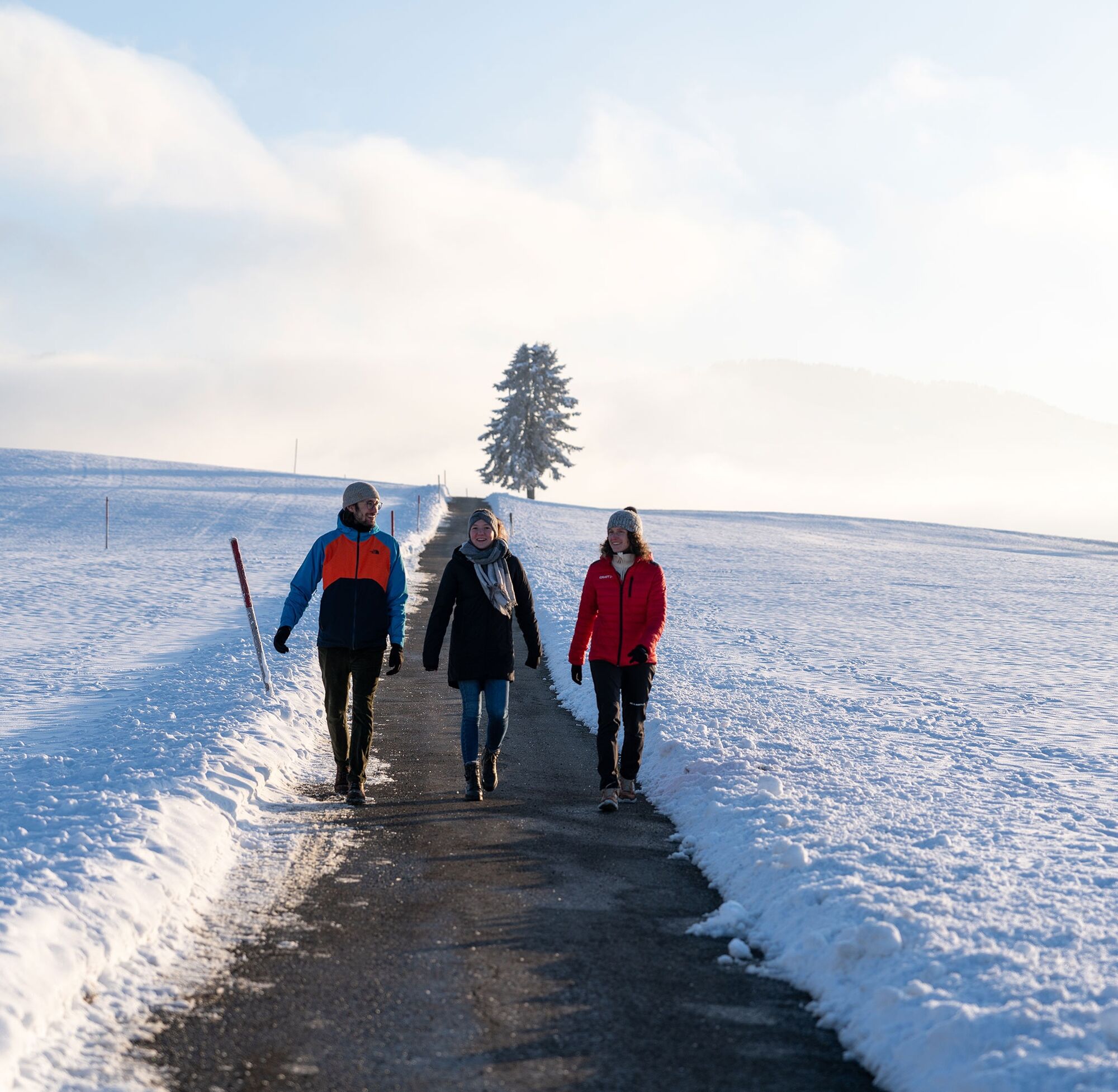
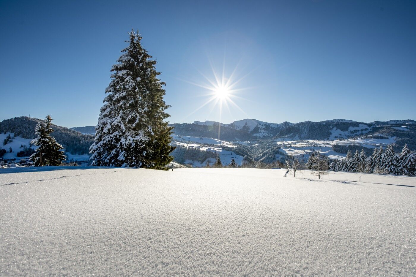


From the station, pass by the church, cross the town, over the railway bridge on Isnyer Straße, and continue to the end of town. Here, after Hotel Bavaria, a hiking trail branches off to the right, which initially climbs steeply and then leads rolling terrain to Buflings (dining options at Hotel Gasthof Engel). Continue on the road to the district of Zell (noteworthy Gothic chapel). At the town entrance, a groomed route * begins to the right, initially turning left into a forest and further into the Schwarzenbach valley. On the cleared winter hiking trail, proceed to Kalzhofen (dining option). From here along the road to the school grounds and back to Oberstaufen.
Oberstaufen station and at the parking lots in town
2
*The groomed section from Zell into the Schwarzenbach valley is only prepared with sufficient snow cover (at least 20 cm). Alternatively, from Buflings, according to the signage, take the direct path into the Schwarzenbach valley and further on to Kalzhofen.

Kamery internetowe z trasy
Uzyskaj wgląd
Zawsze na żywo z ponad 9 500 kamer internetowych. bergfex Jako użytkownik Pro, możesz teraz zobaczyć odpowiednie kamery internetowe dla wielu wycieczek w aplikacji wycieczki od. Pozwala to na bezpośredni podgląd aktualnych warunków.


Popularne wycieczki w okolicy
-
4,7
Steibis - Buchenegger Waterfalls
średniWędrówka 6,47 km -
4,5
Hittisau | Wasserwanderweg
światłoTrasa tematyczna 7 km -
5,0
Nagelfluh ridge route Hochgrat - Mittag
ciężkiWędrówka 14,0 km -
4,7
Rindalphorn und Hochgrat
średniWędrówka 15,6 km -
4,9
Immenstädter Horn
światłoWędrówka 9,35 km -
5,0
Siedelalpe Runde von See - Immenstadt
światłoWędrówka 10,3 km -
3,7
Rundtour Mittag
światłoWędrówka 15,7 km -
4,5
Immenstädter Horn - Gschwender Horn
światłoWędrówka 10 km -
4,5
Circular route Hündle to the Buchenegger Waterfalls
średniWędrówka 9,69 km -
4,4
Circular route Steibis to Dreiländerblick
średniWędrówka 7,95 km
Wędrówki i tropienie


Nie przegap ofert i inspiracji na następne wakacje
Twój adres e-mail została dodana do listy mailingowej.





