







Nagelfluh ridge route Hochgrat - Mittag

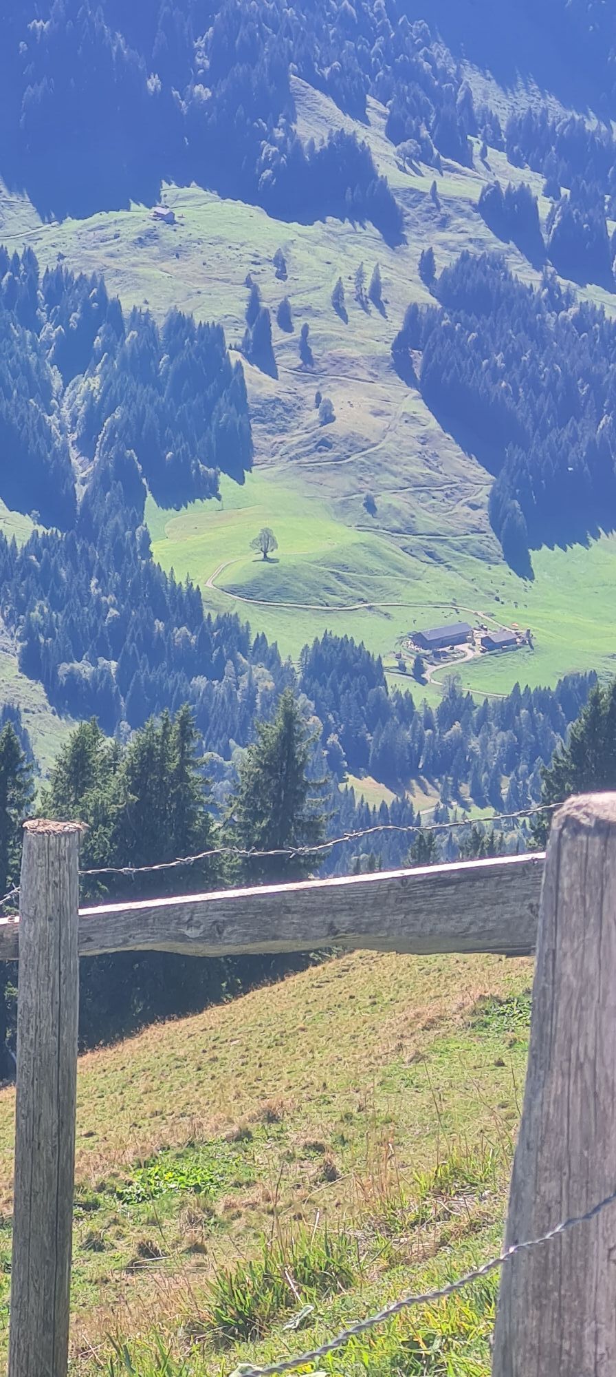
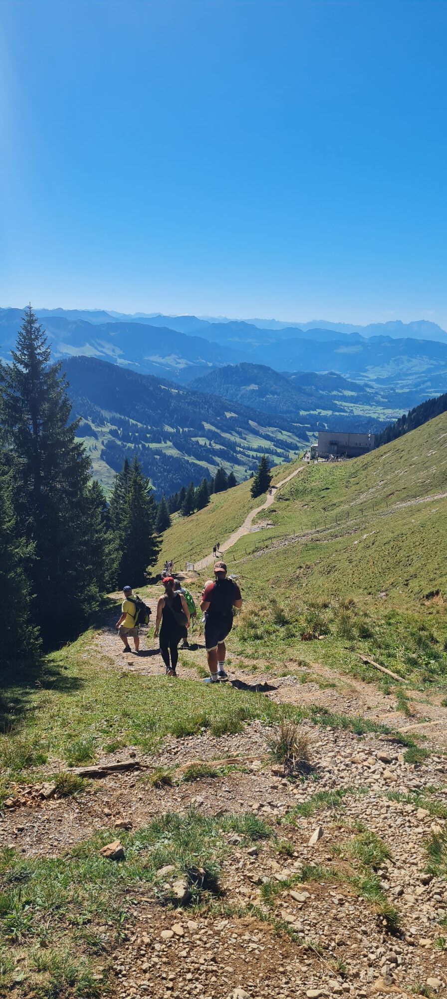
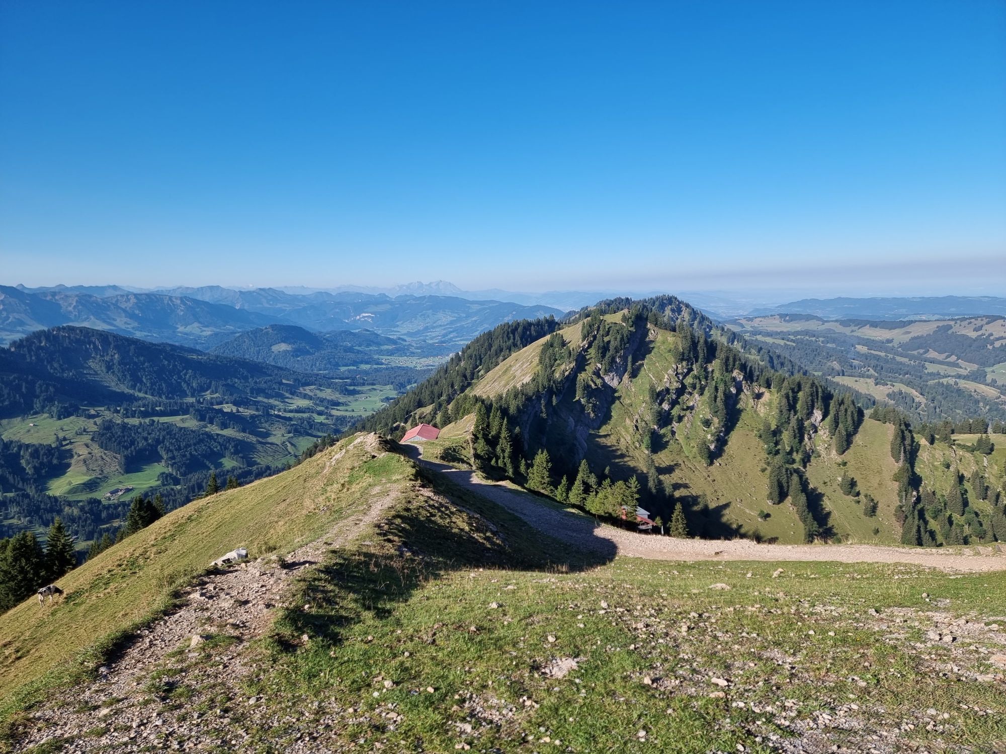
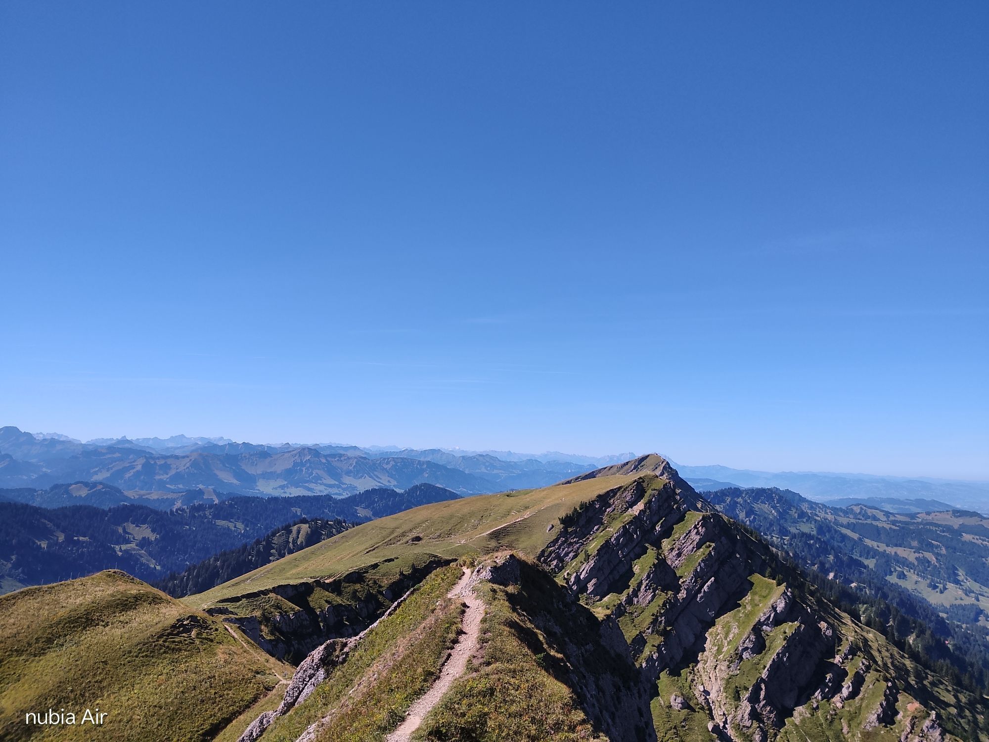
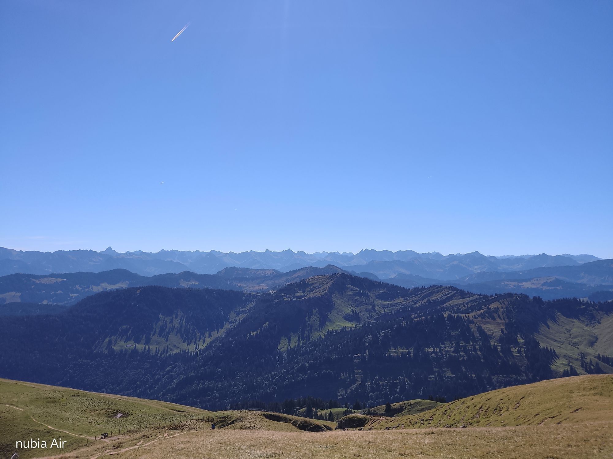
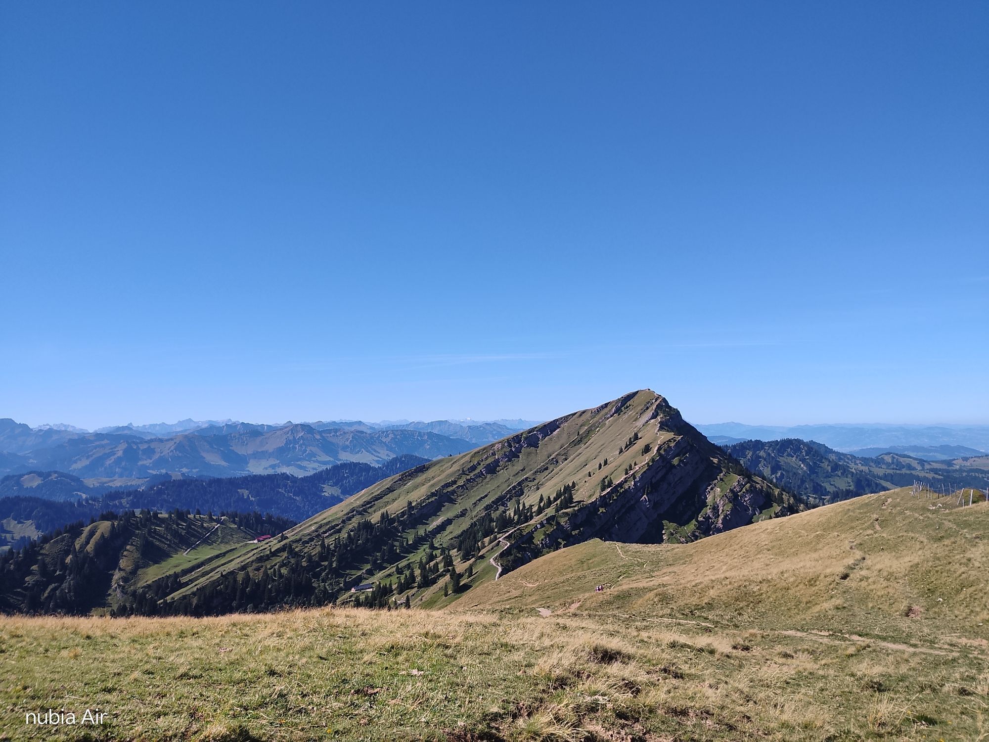
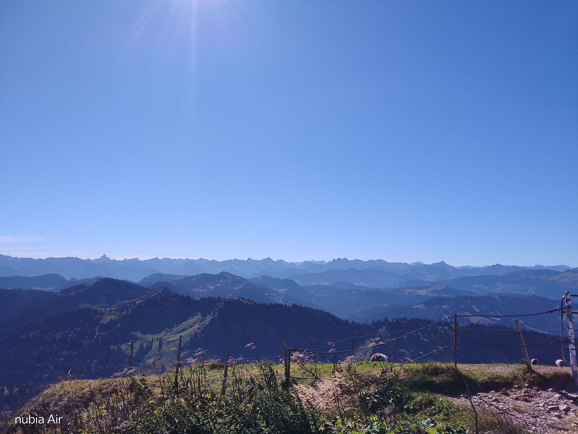
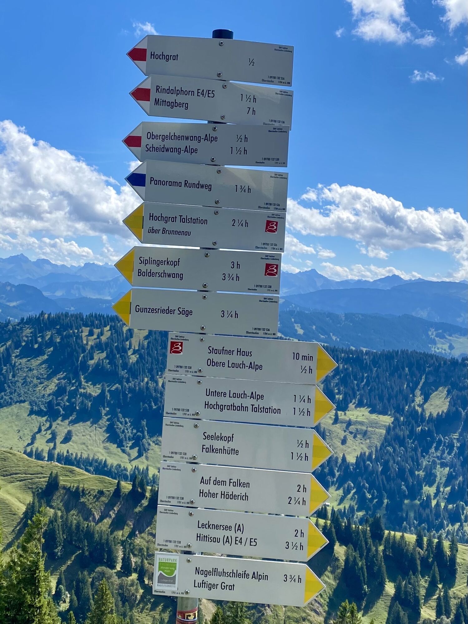
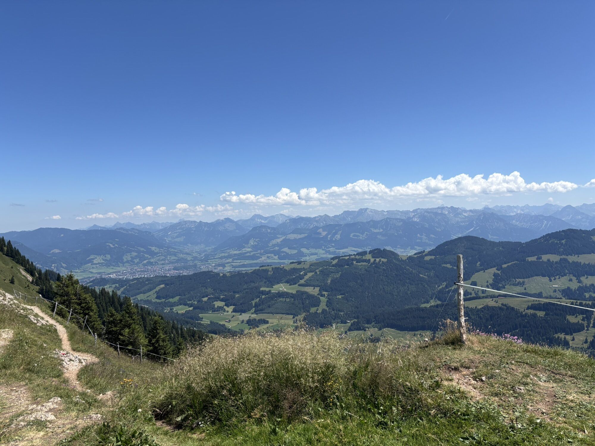
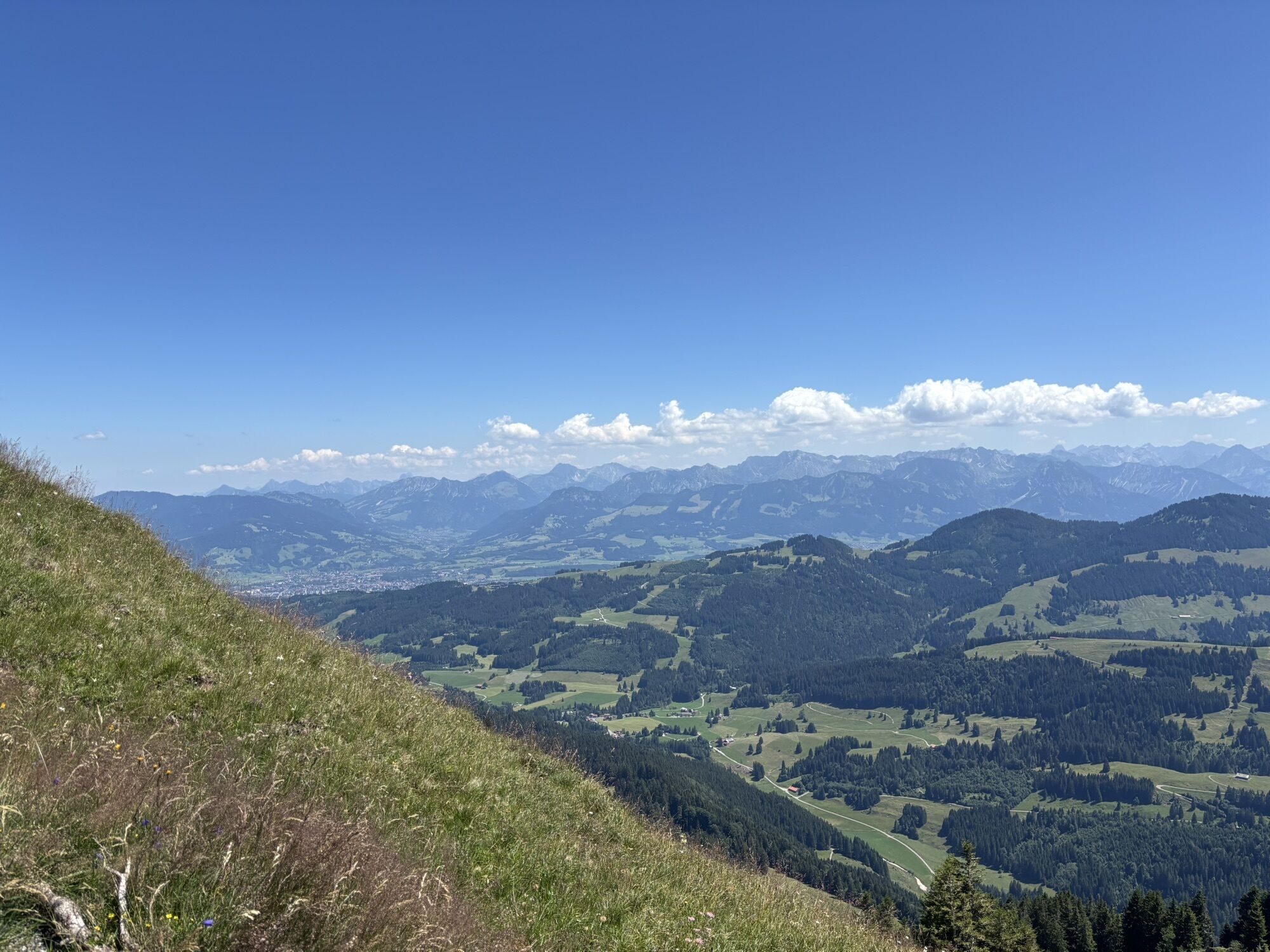
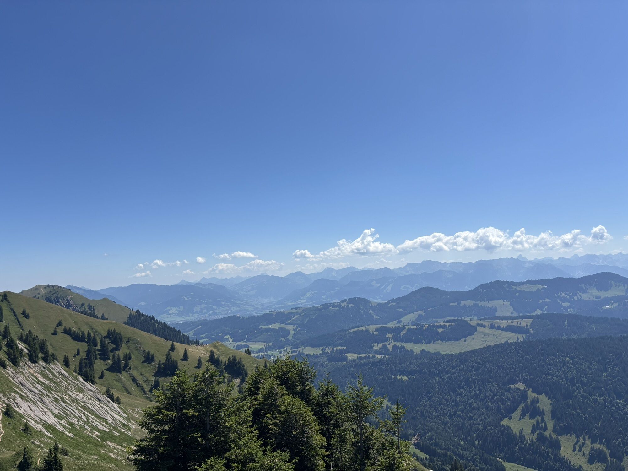
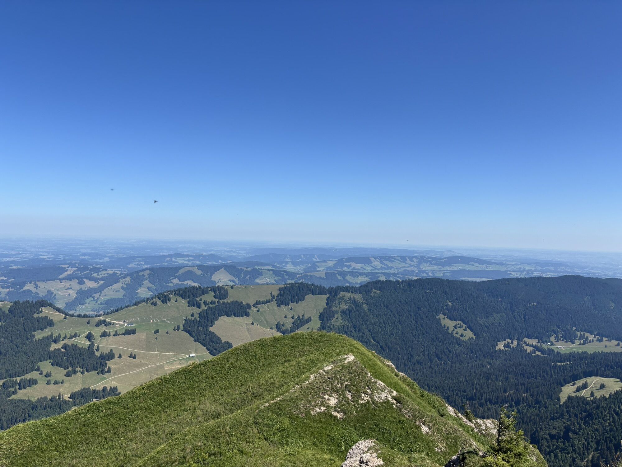
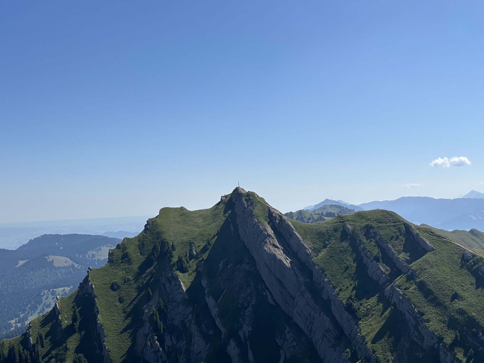
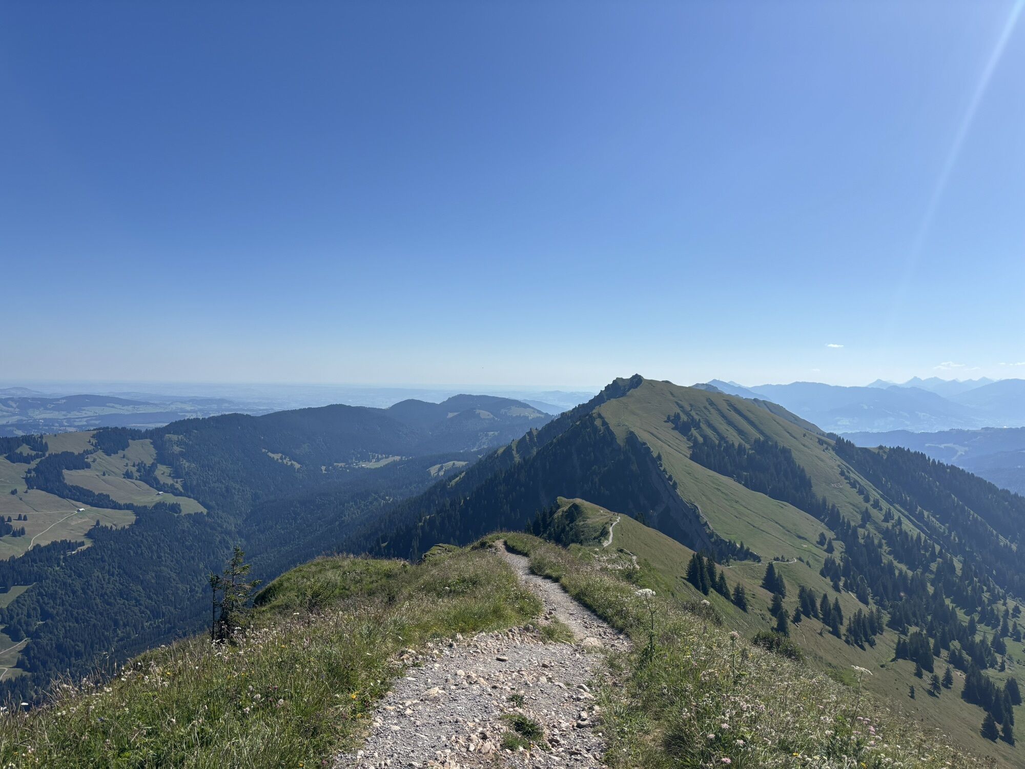
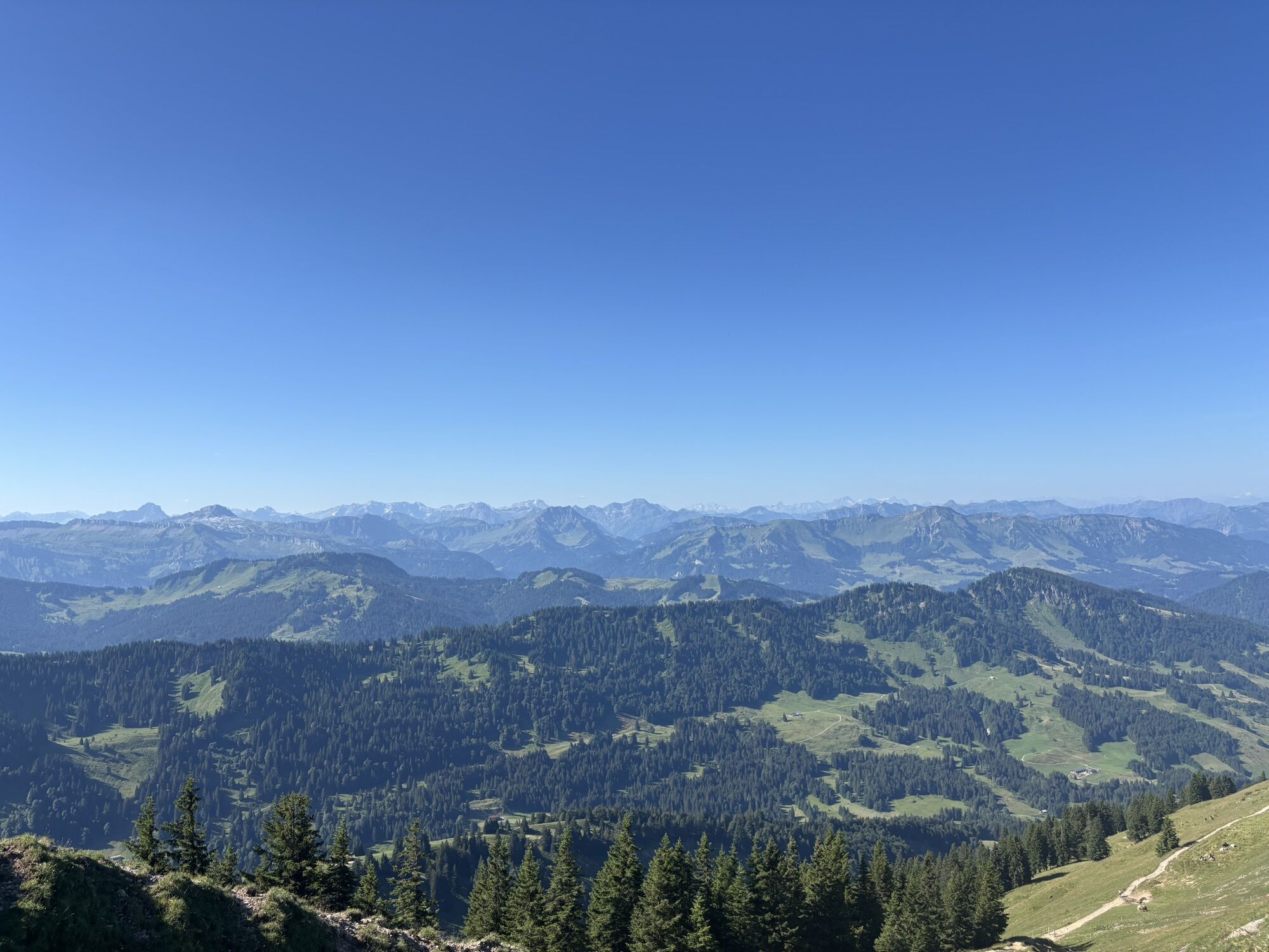
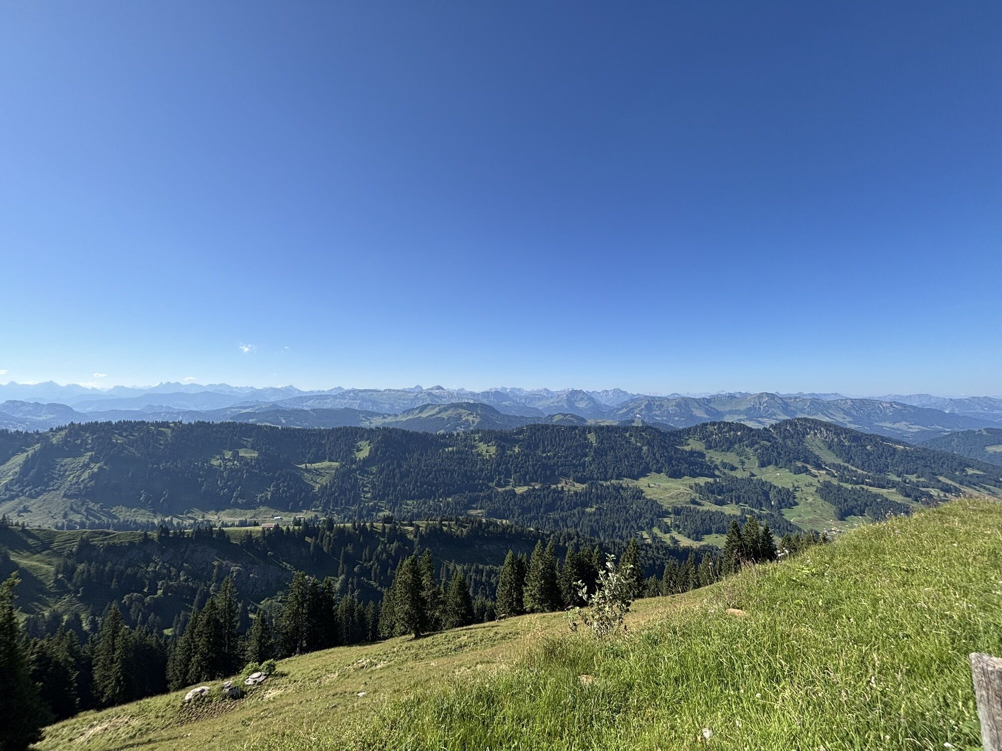
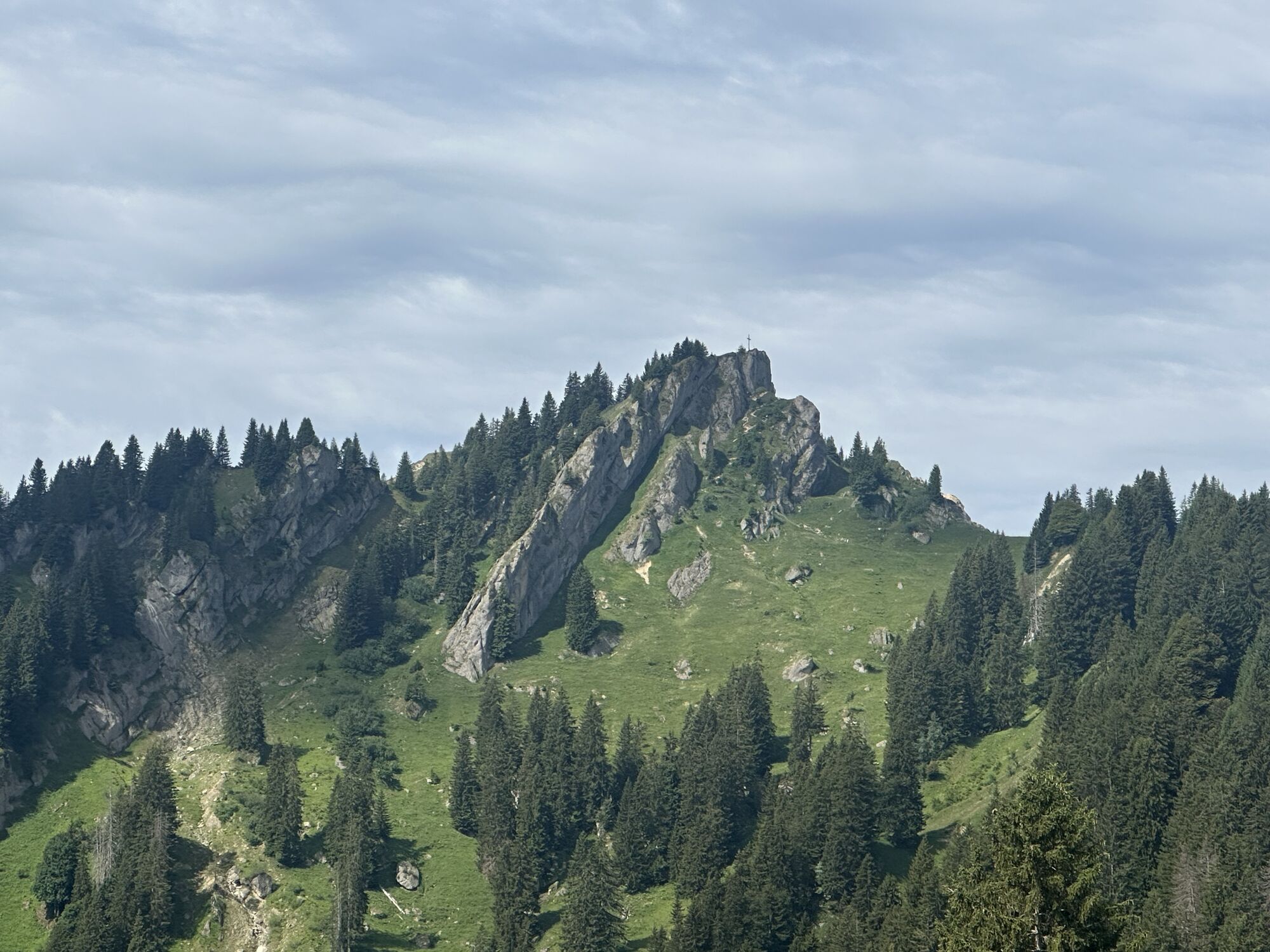
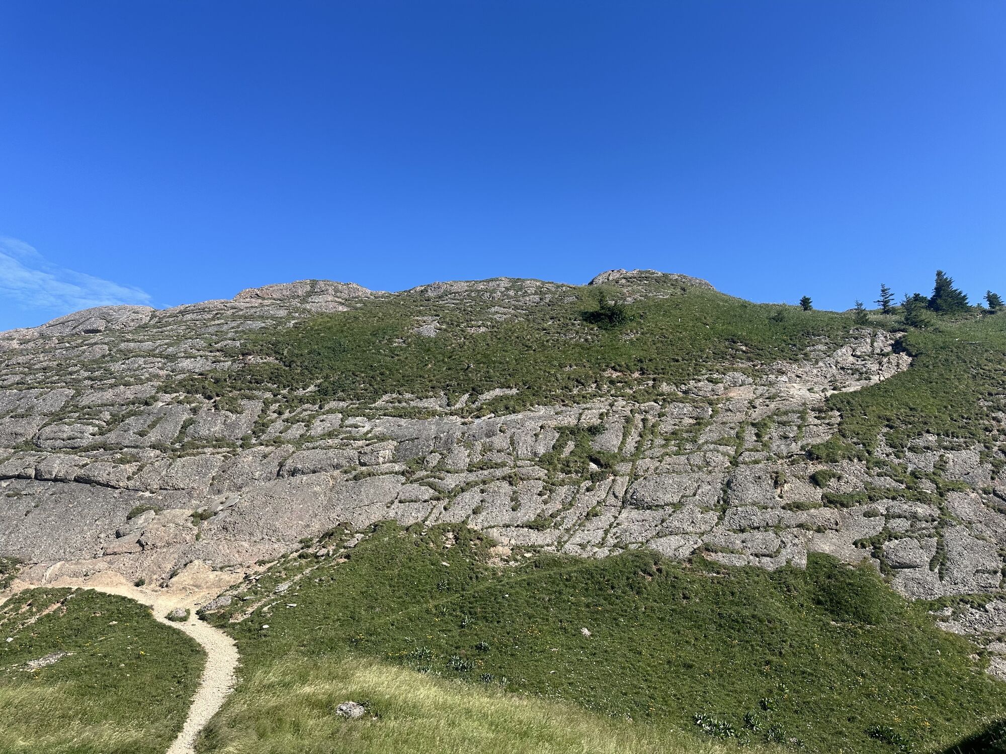
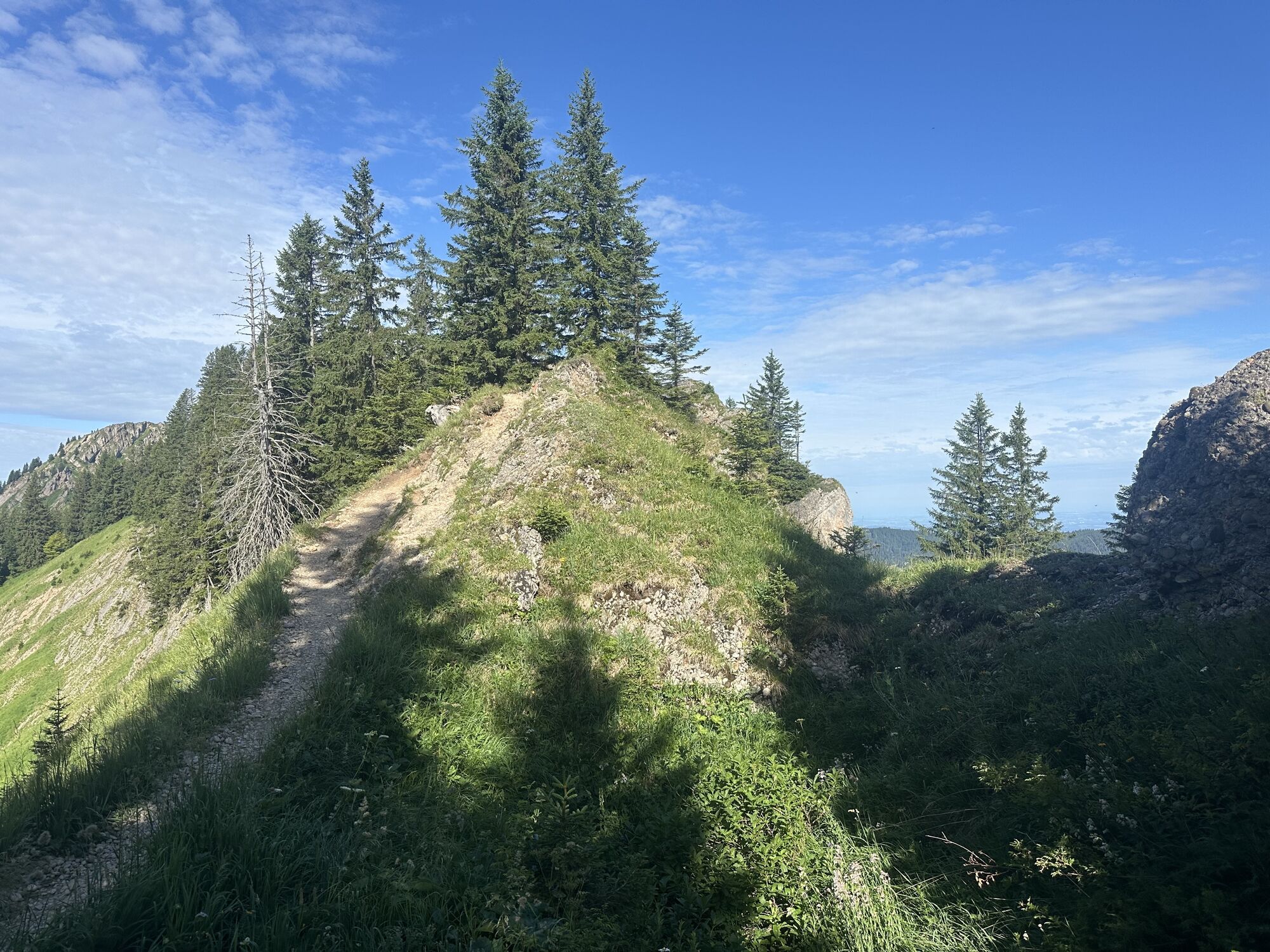
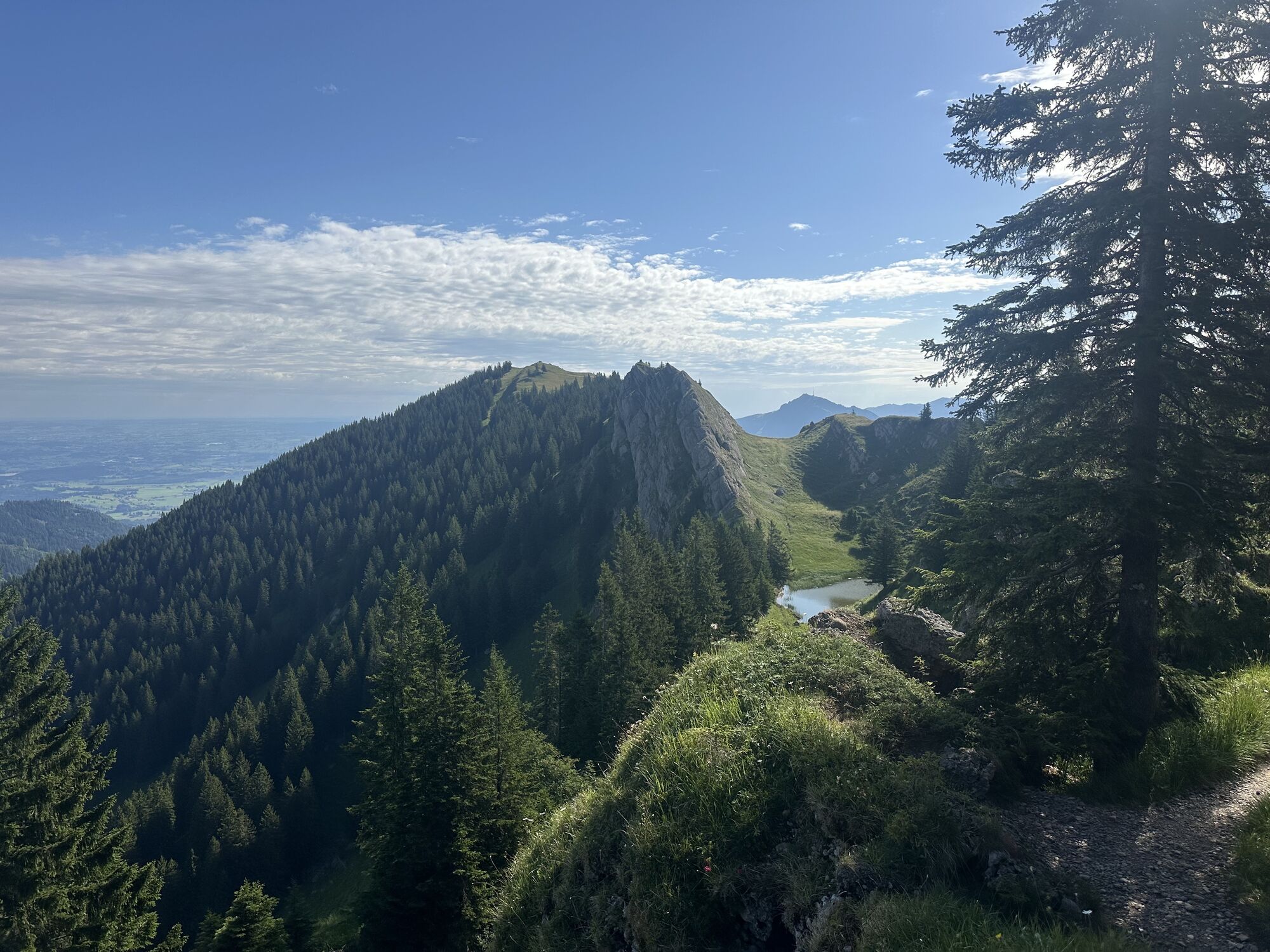
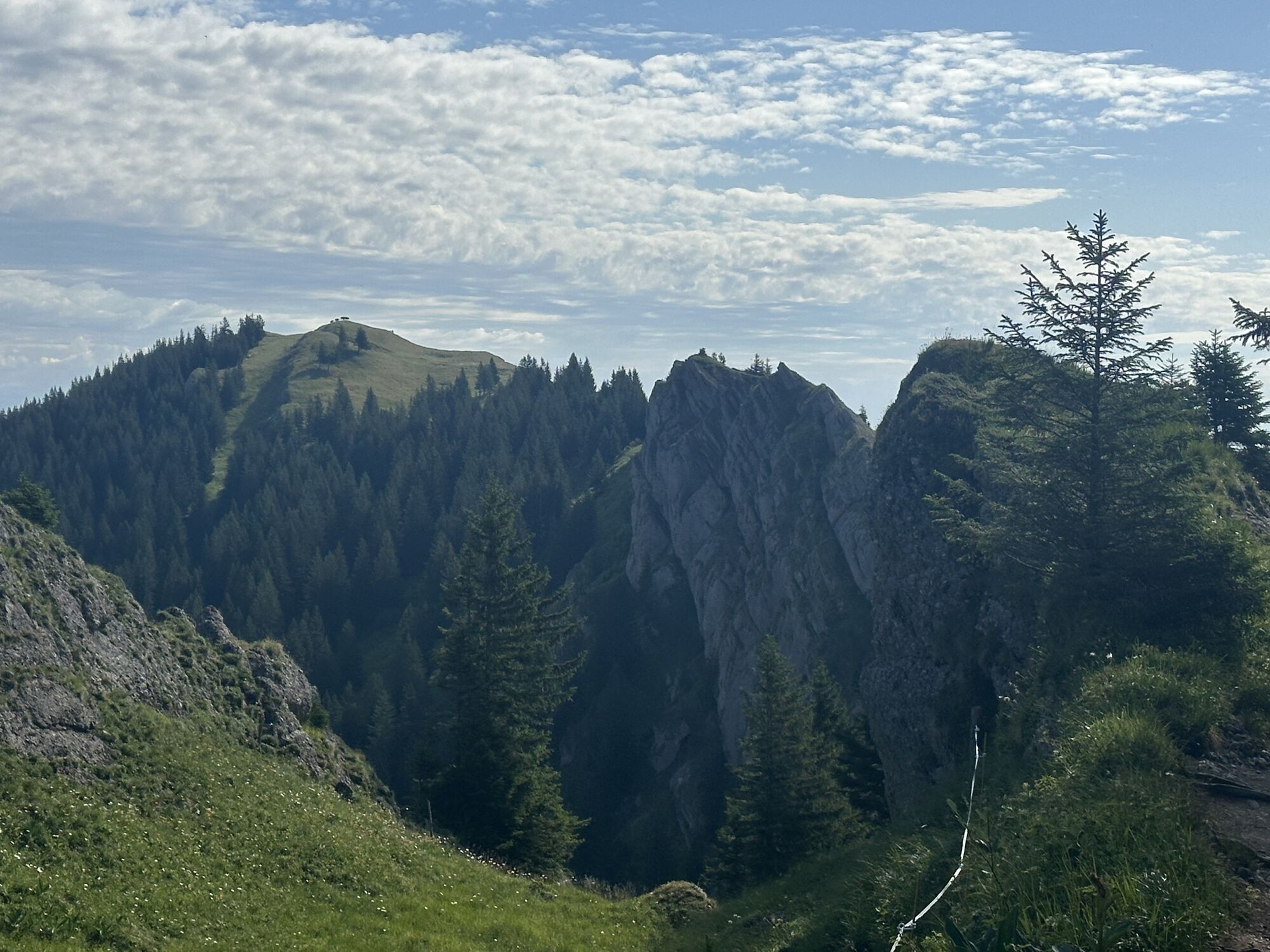
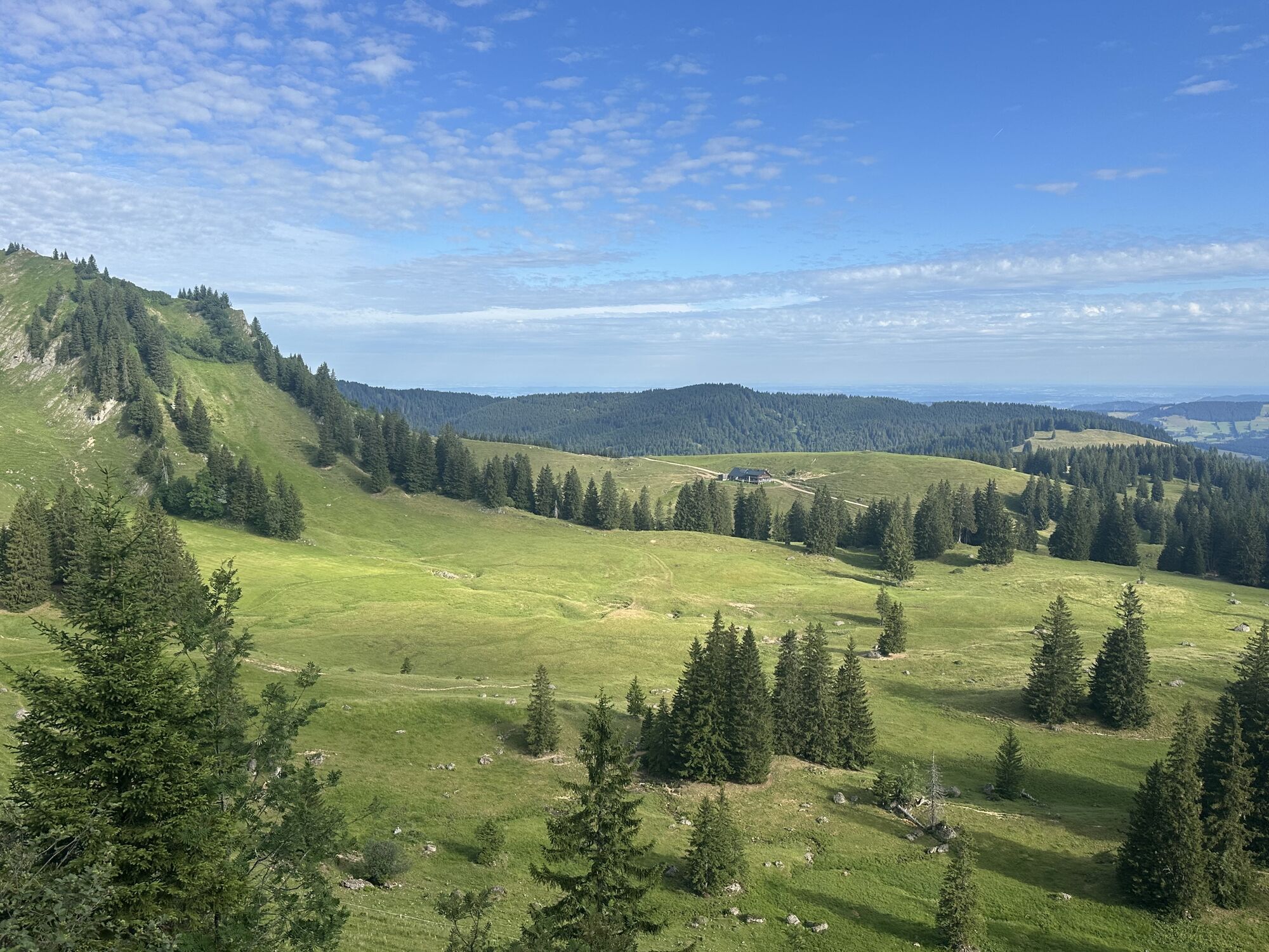
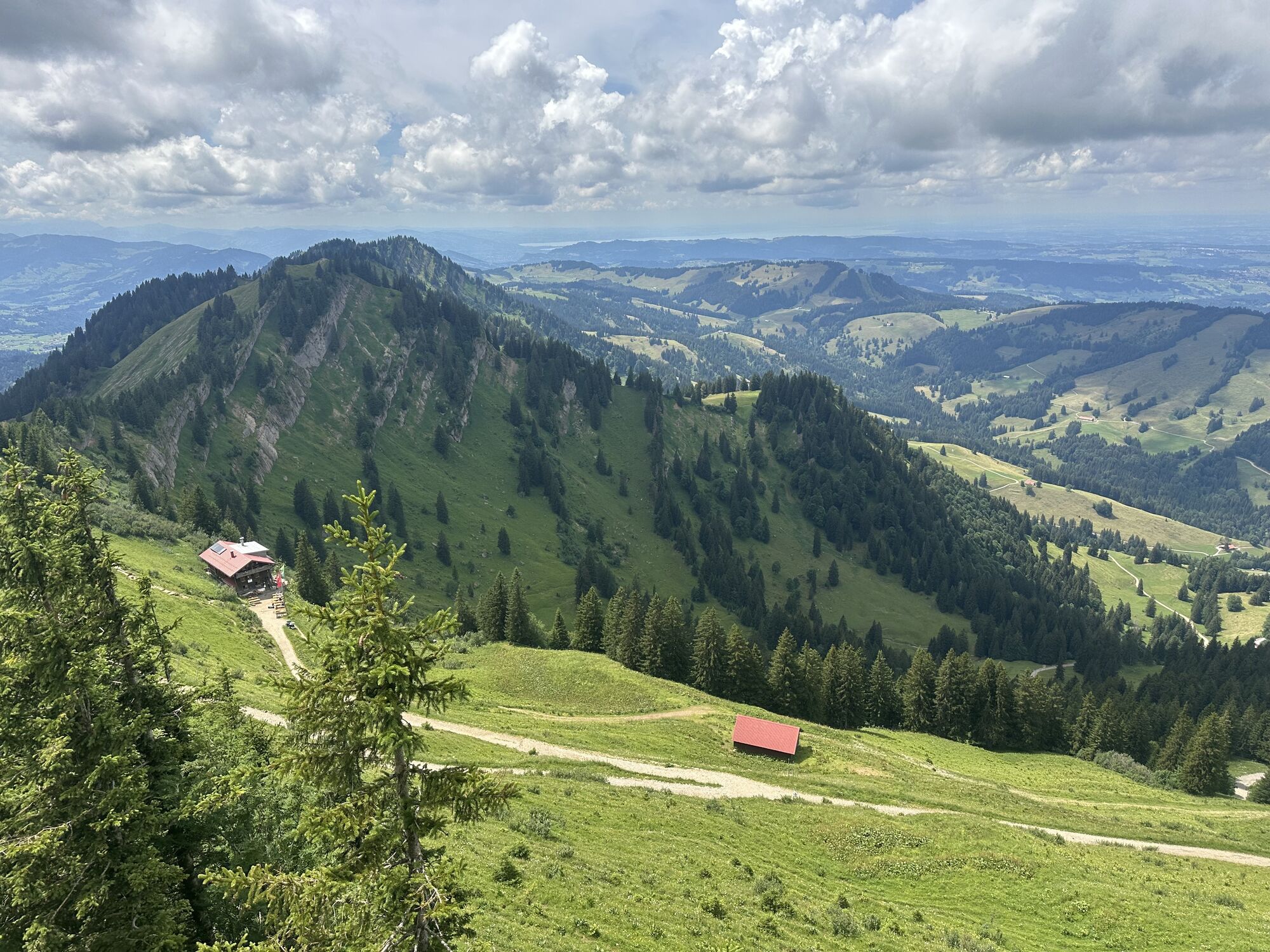
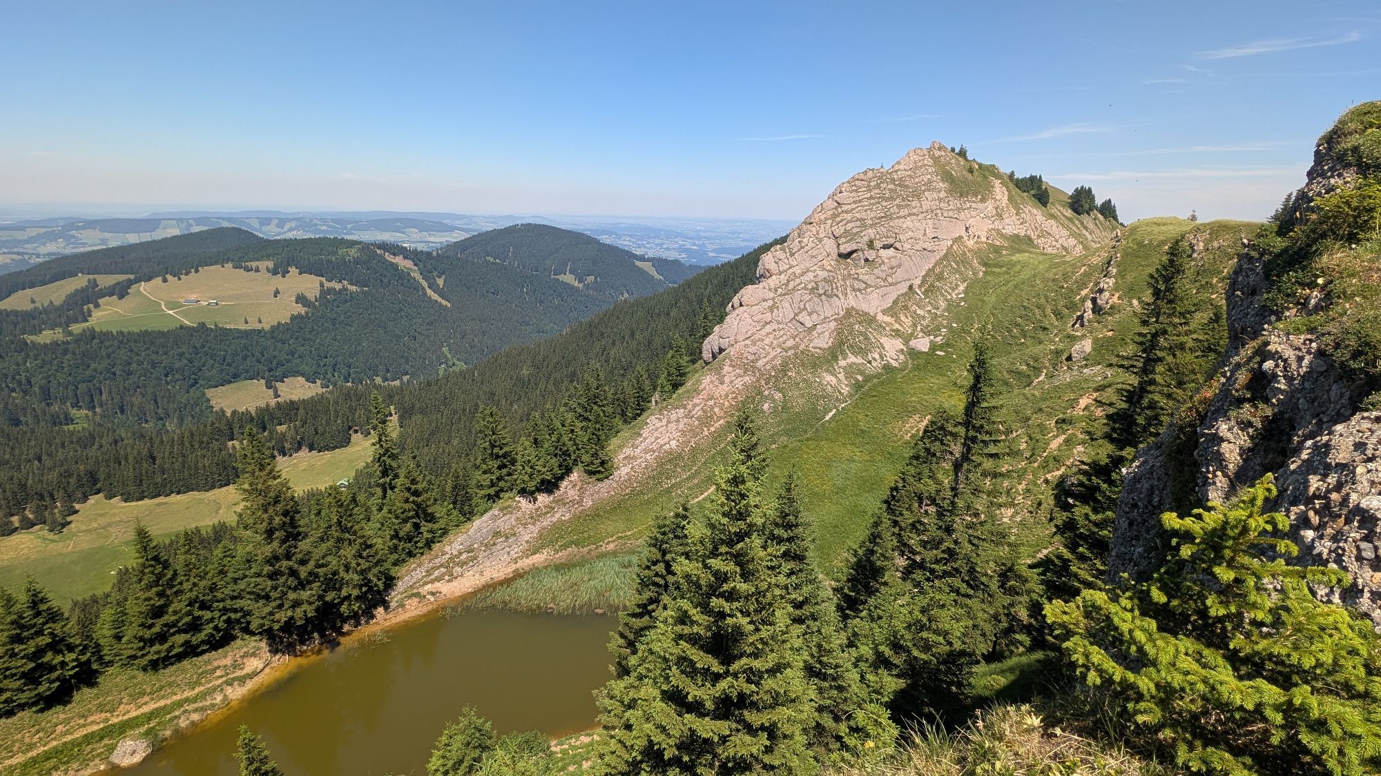
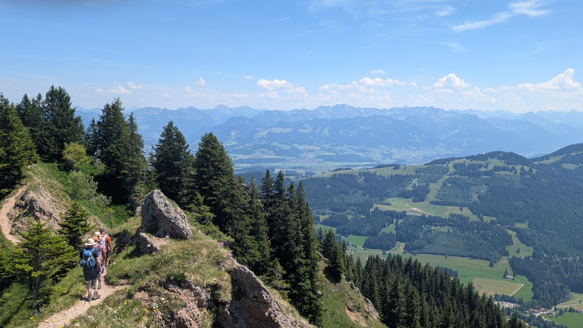
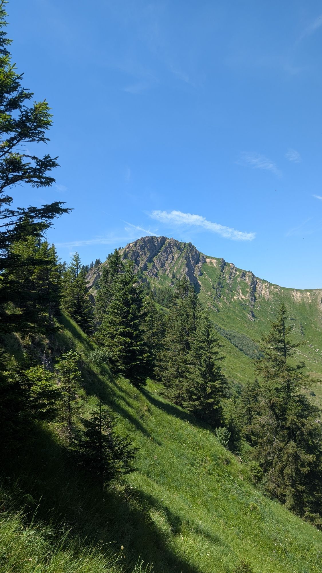
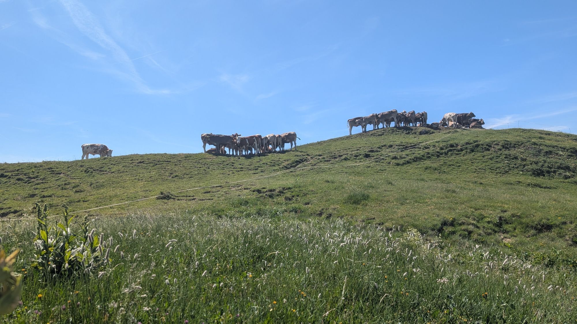
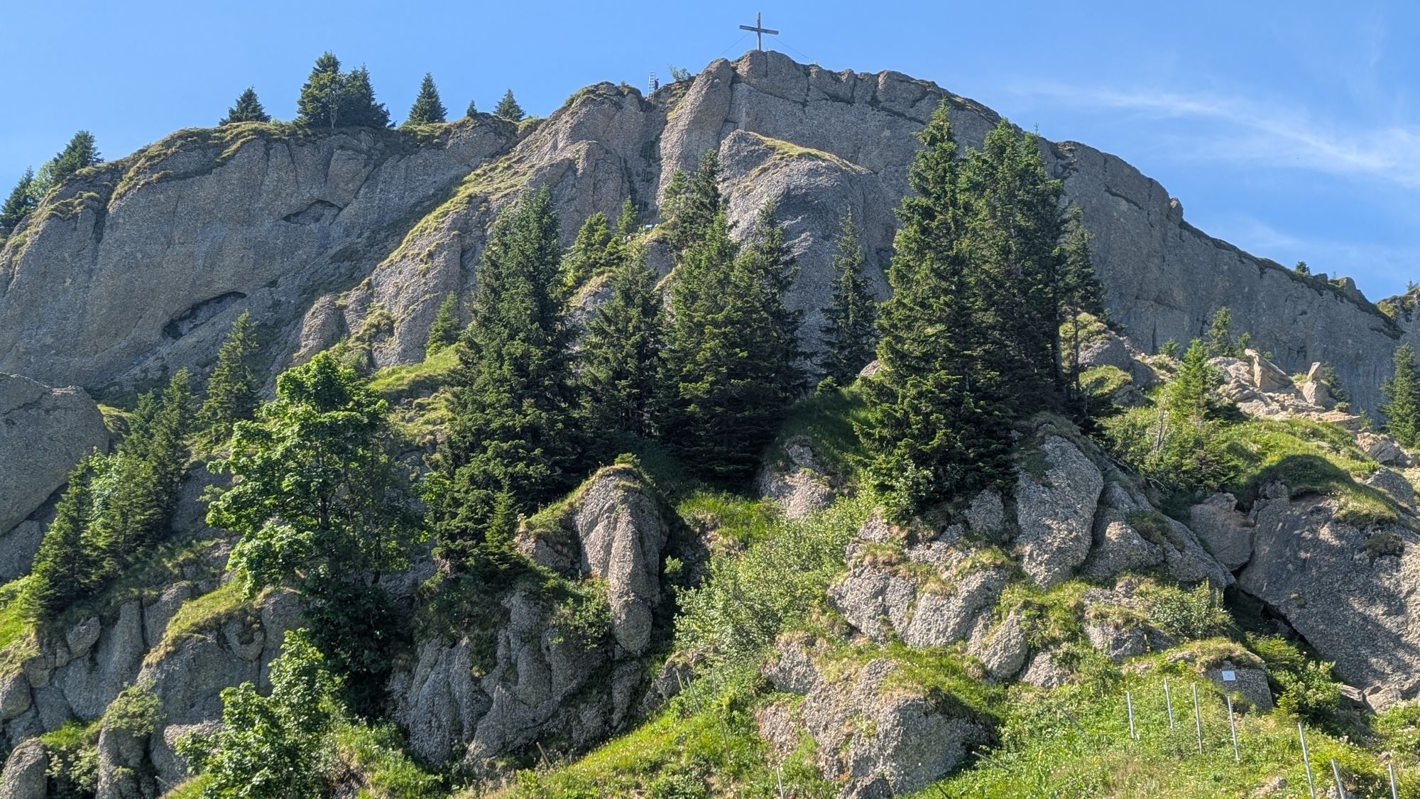
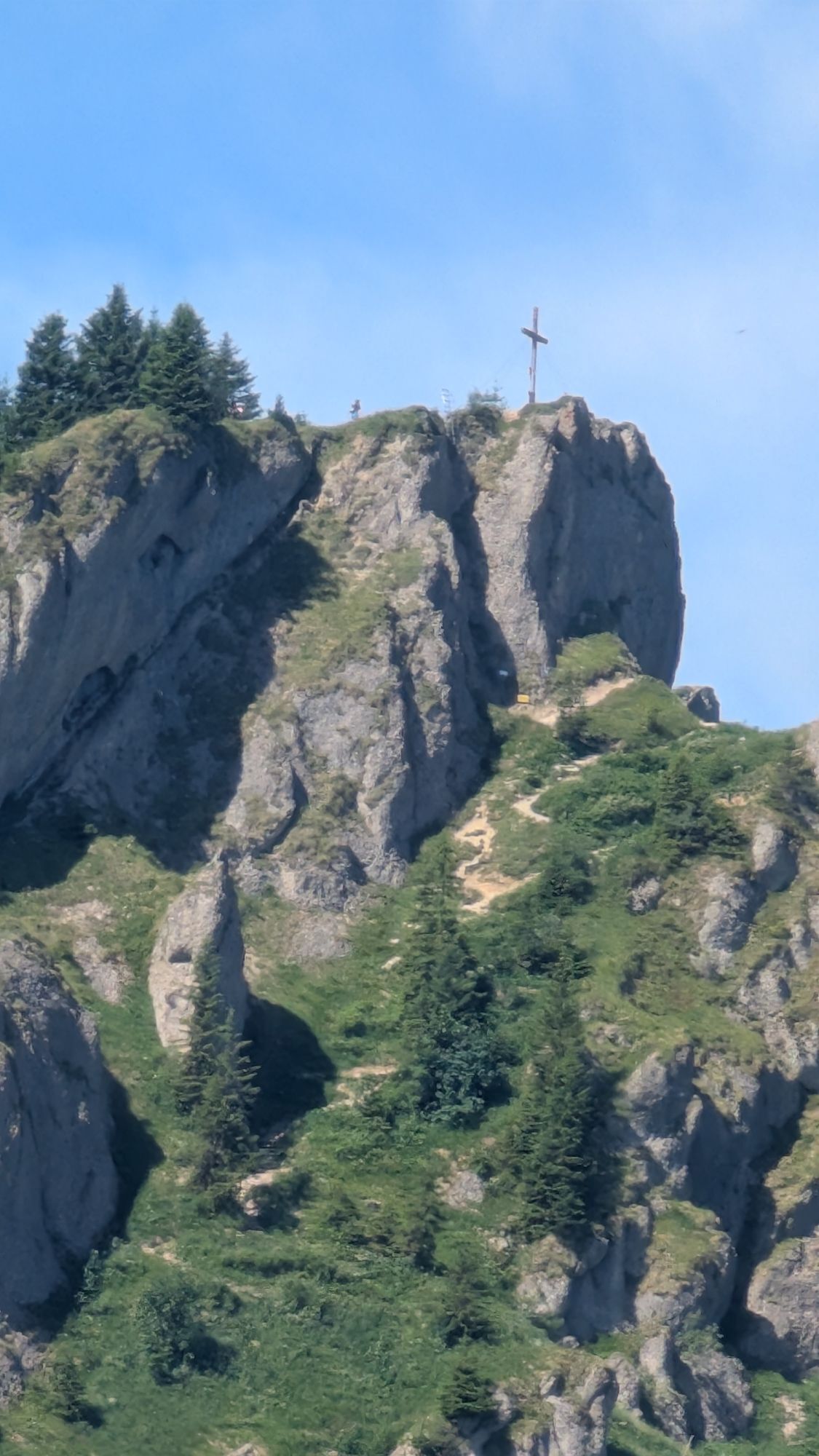
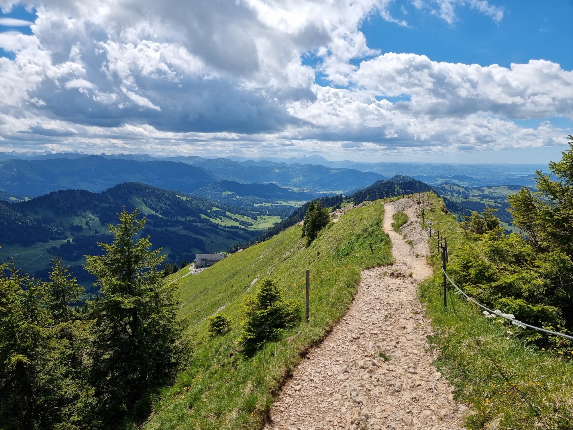
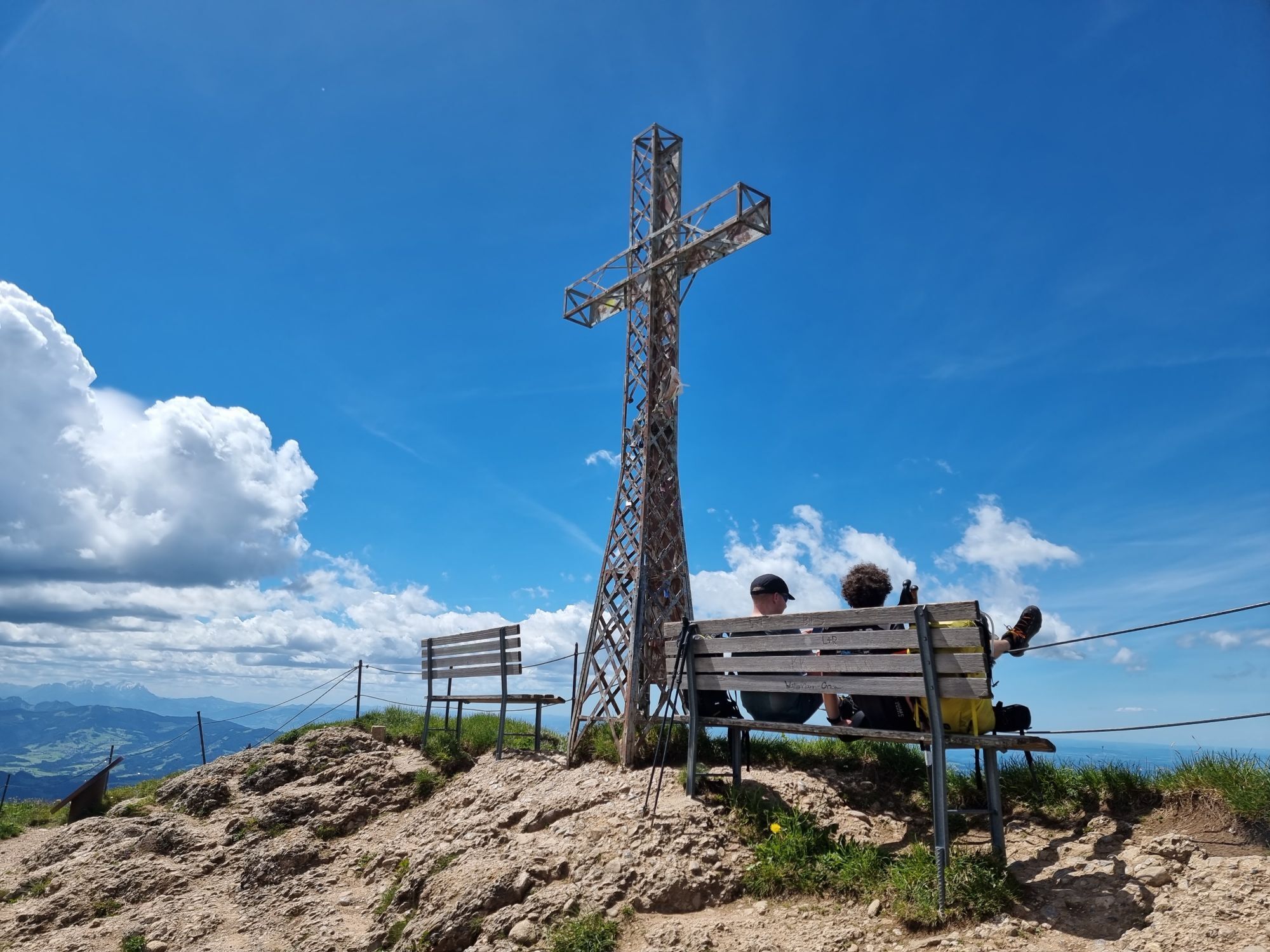
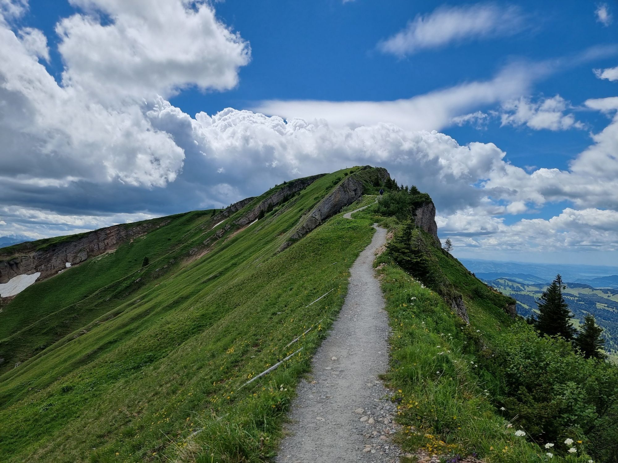
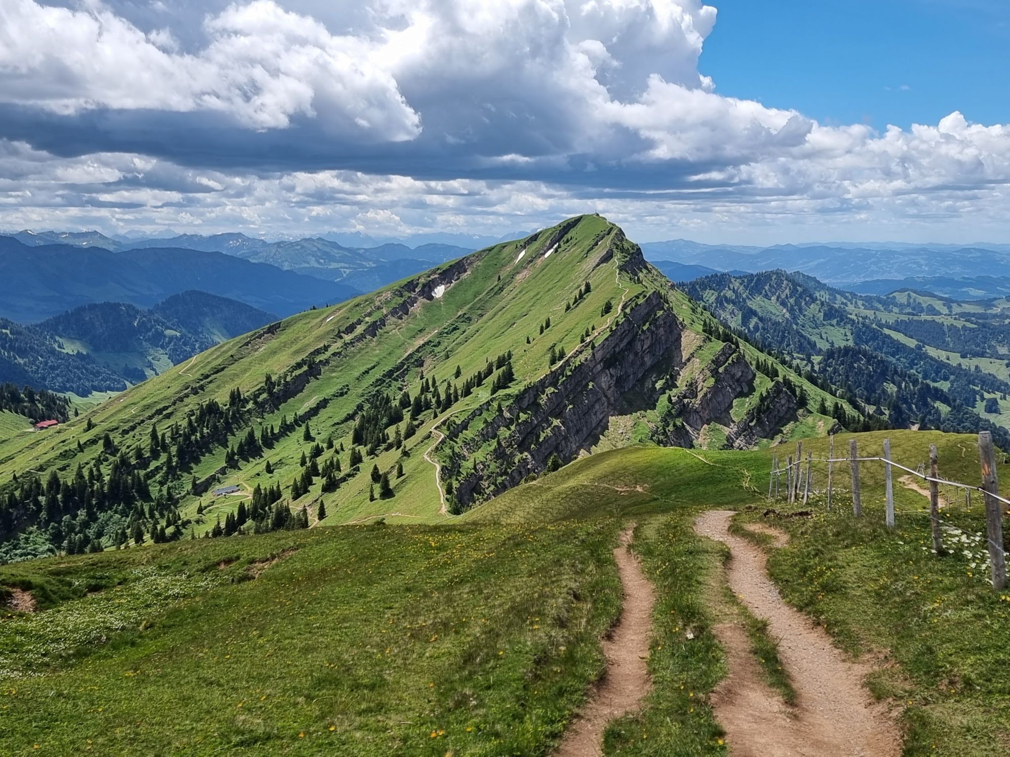
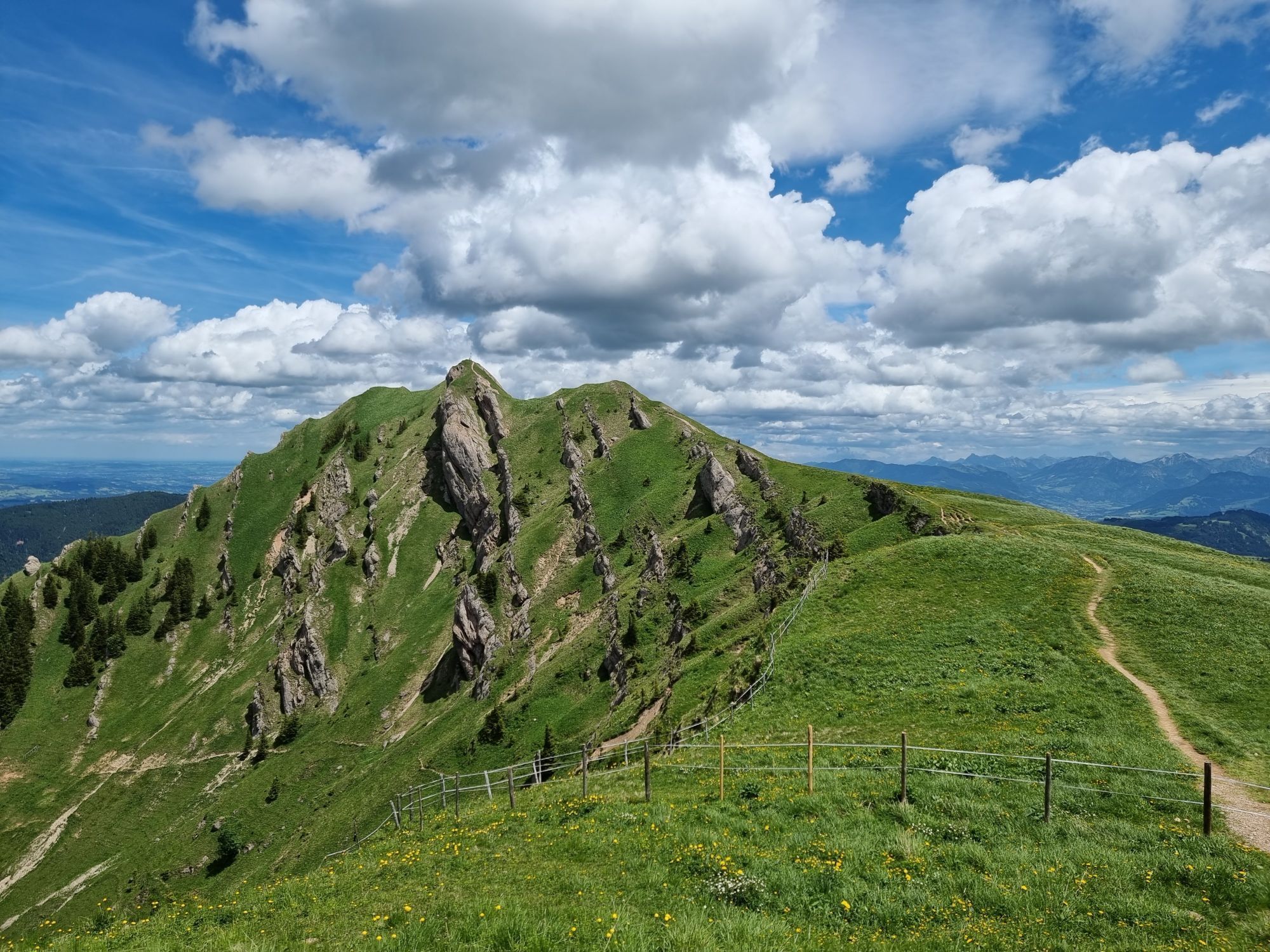
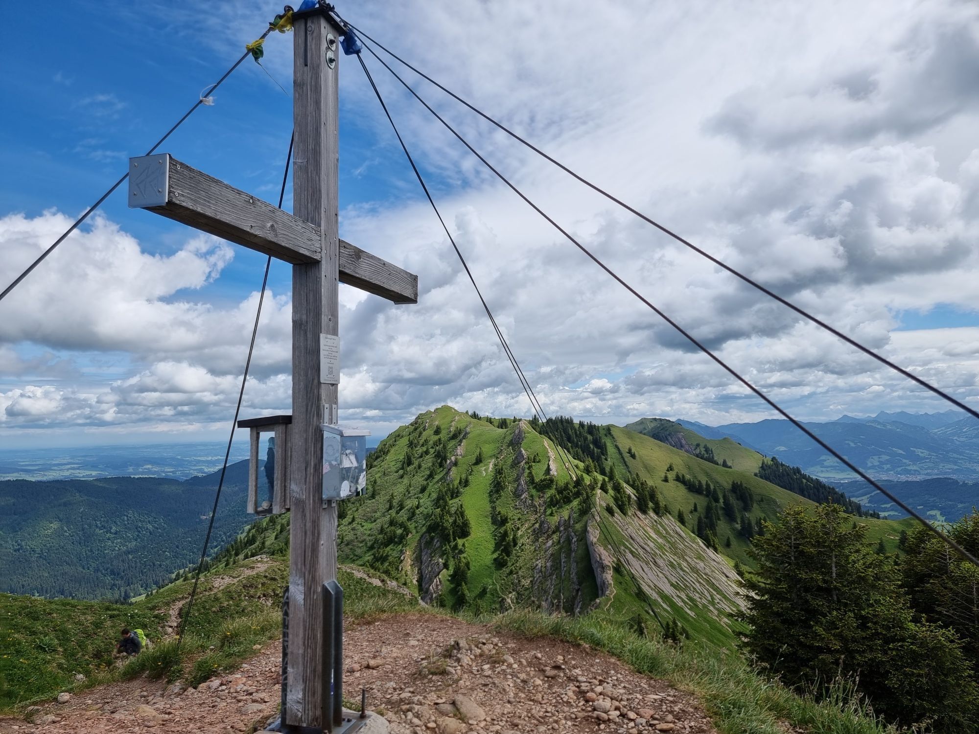
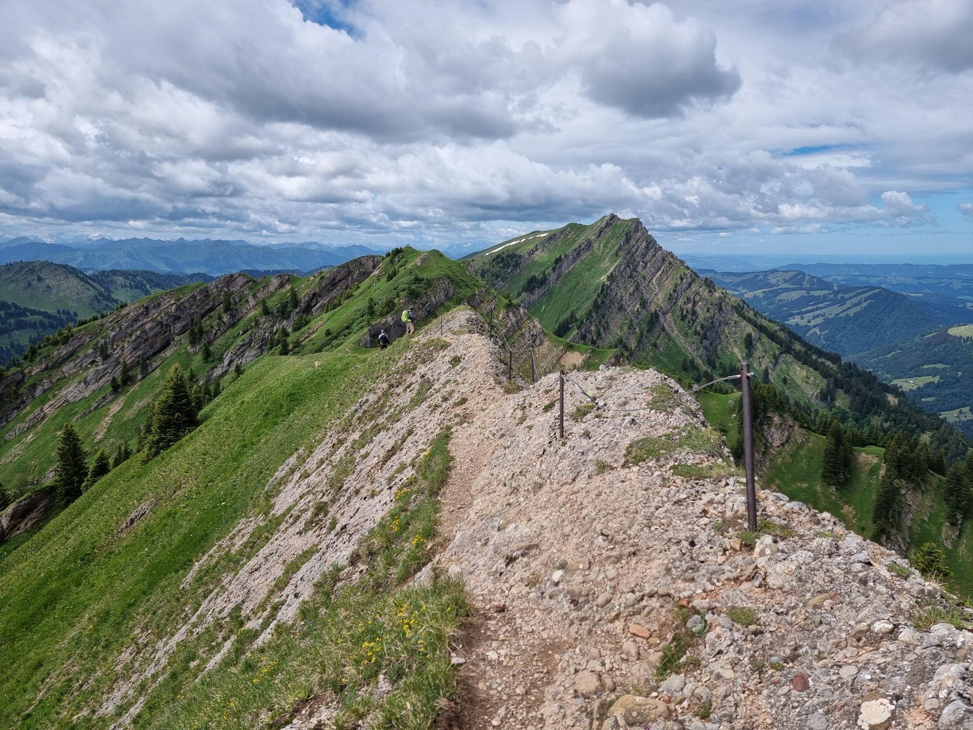
After the ascent with the Hochgratbahn, head east over the following eight summits: Hochgrat, Rindalphorn, Buralpkopf, Gündlekopf, Sederer, Stuiben, Steineberg, and Mittag. Dining options are only available...
After the ascent with the Hochgratbahn, head east over the following eight summits: Hochgrat, Rindalphorn, Buralpkopf, Gündlekopf, Sederer, Stuiben, Steineberg, and Mittag. Dining options are only available at the starting points at Hochgrat and Mittag, so bring enough provisions and appropriate (change) clothing.
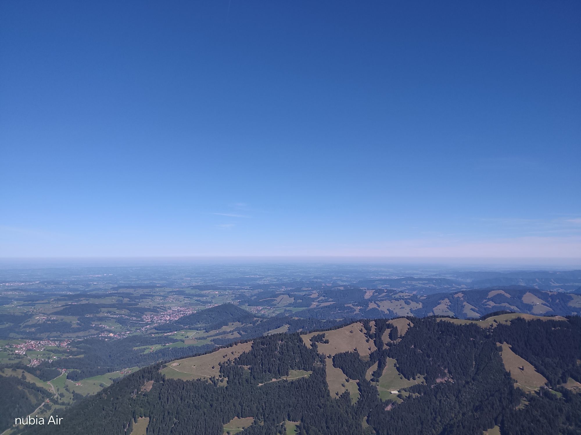
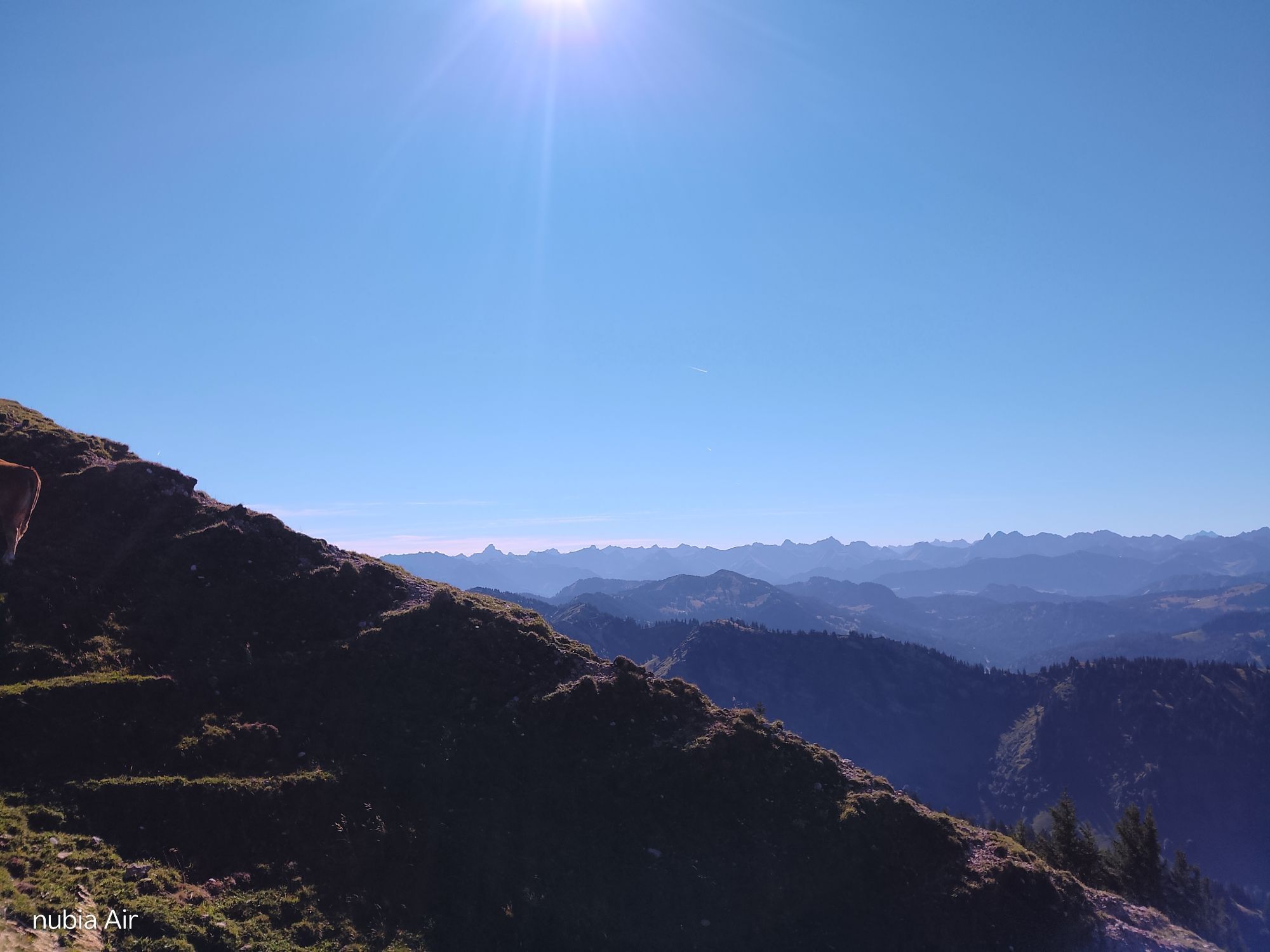
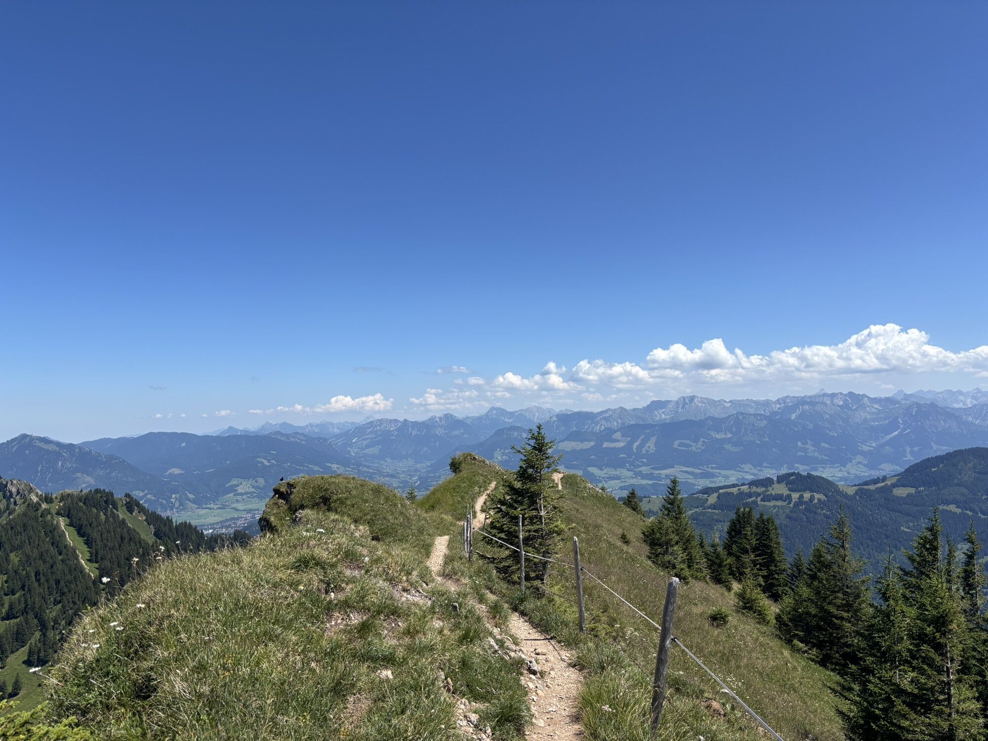
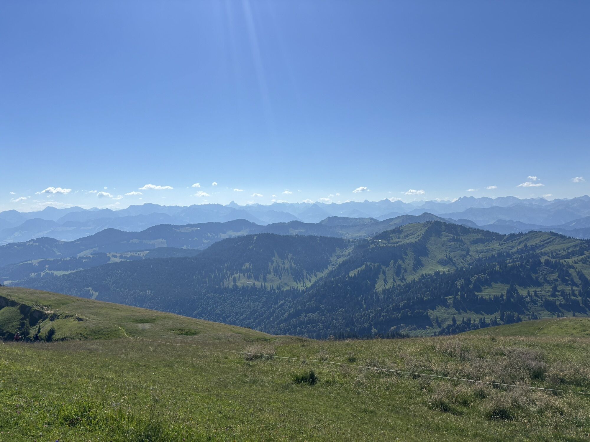
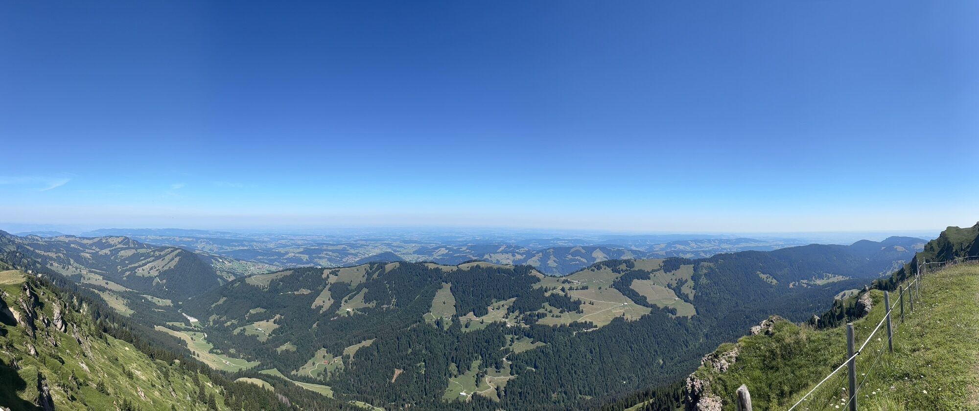
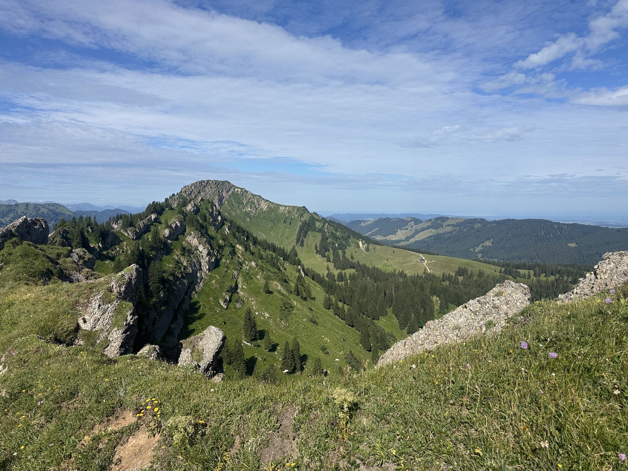
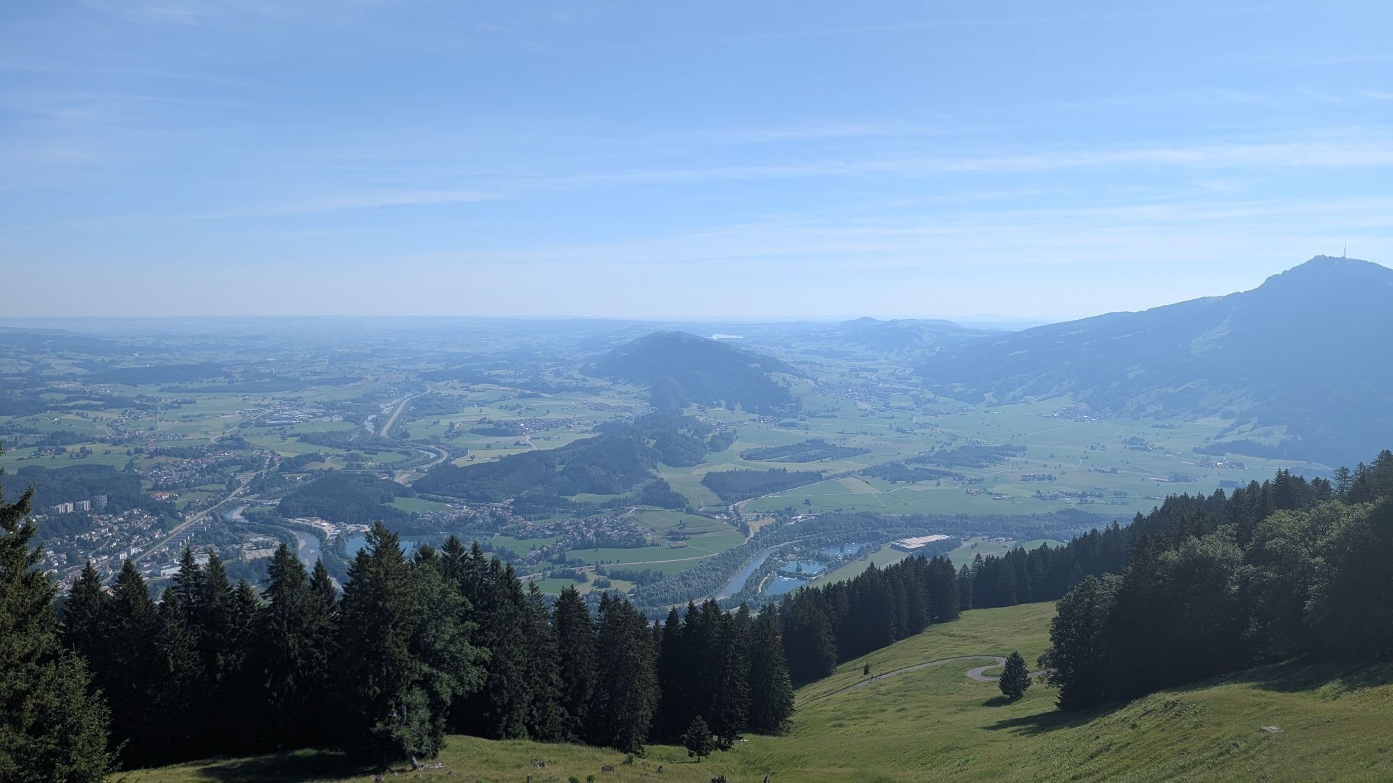
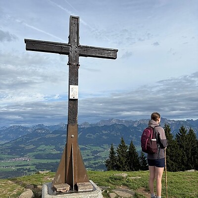
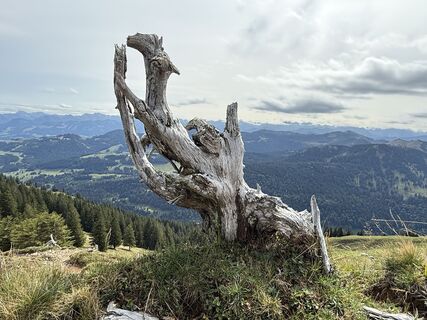
Particularly impressive is the mountain panorama visible along the entire route in good weather: views as far as the Zugspitze, over the highest Allgäu and Vorarlberg Alps up to Altmann and the Säntis massif in eastern Switzerland. To the north, on clear days, the view stretches far over Lake Constance to the Black Forest and into the foothills of the Alps.
For this hike, the Hochgrat and Mittagbahn offer a combined ticket for use. Return by train or bus from Immenstadt to Oberstaufen.

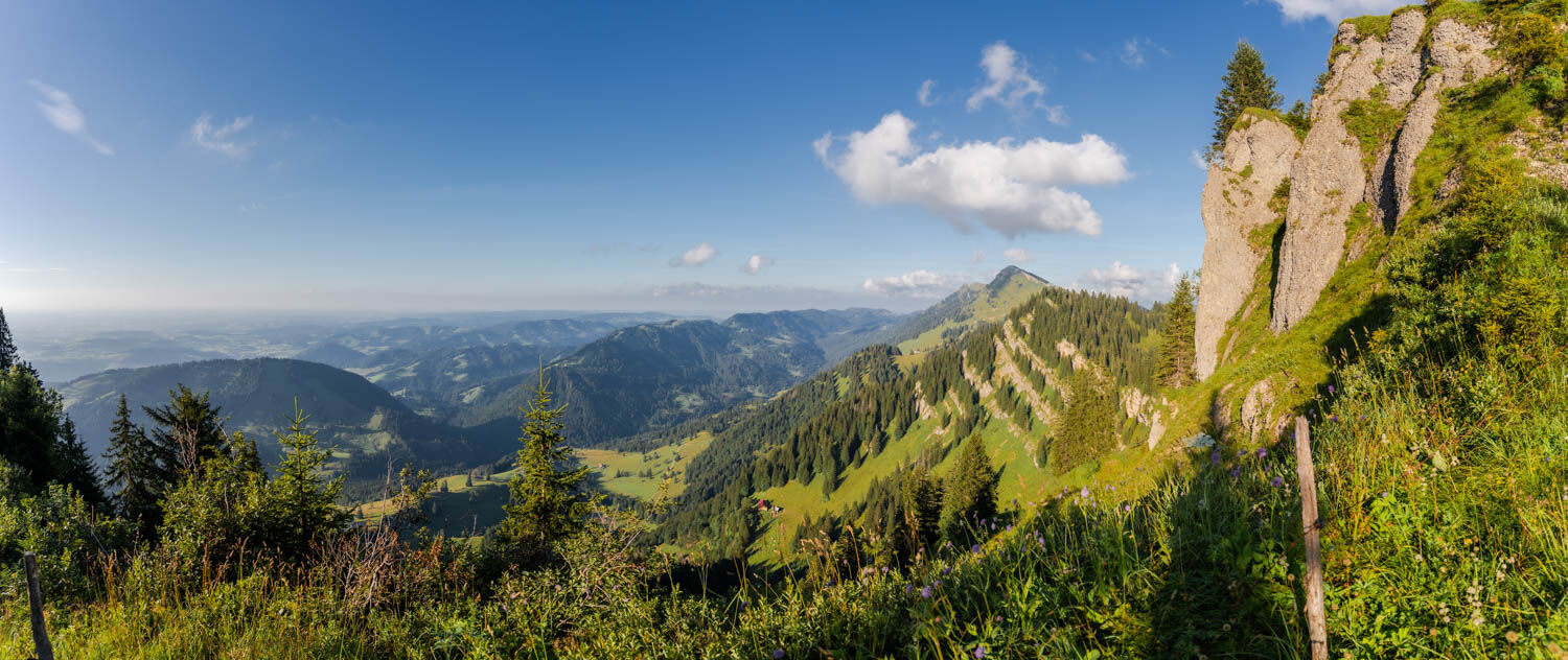
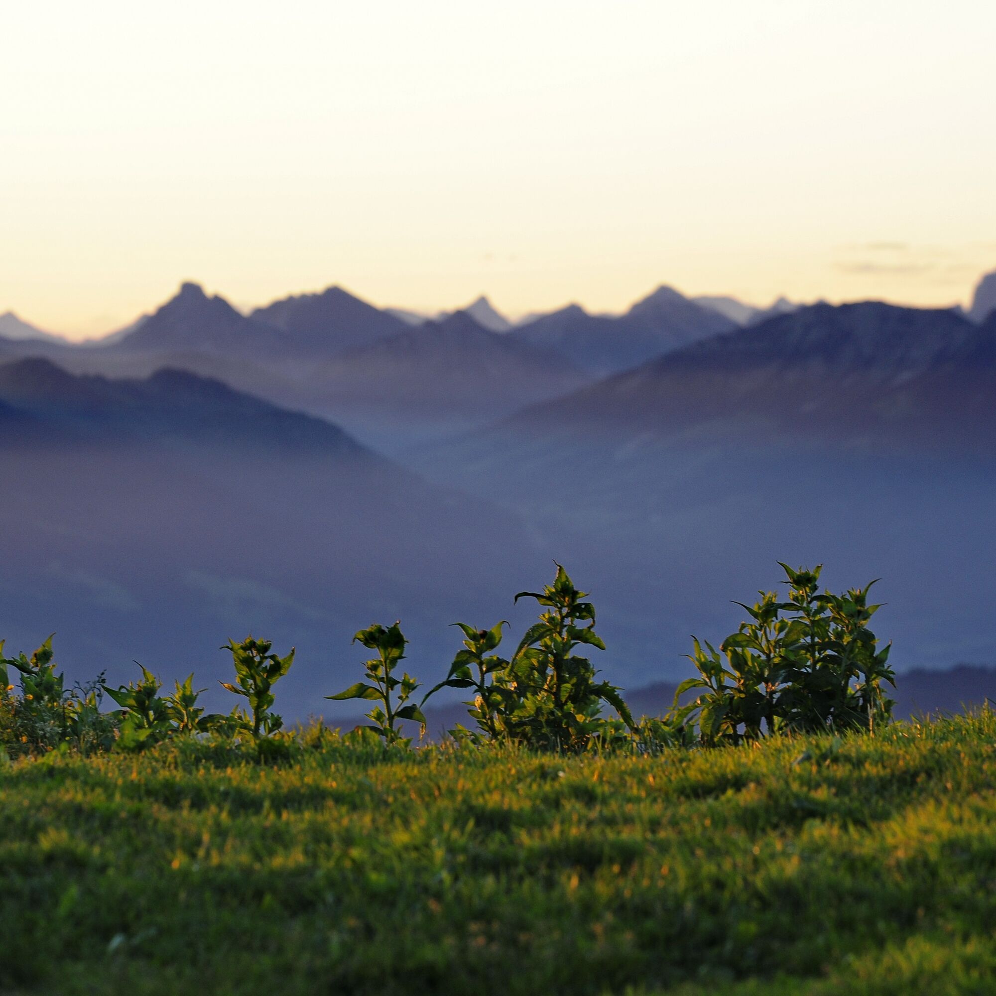
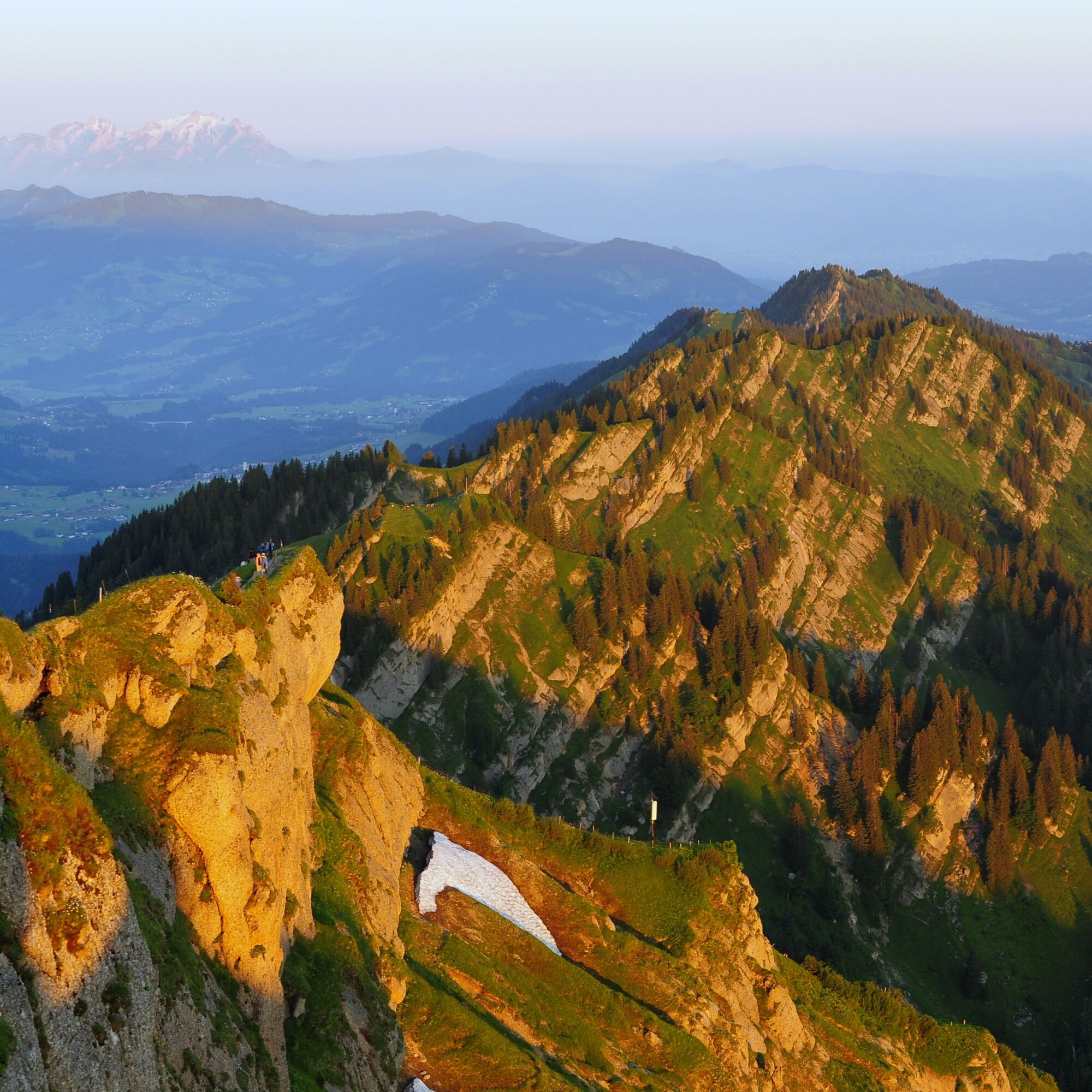
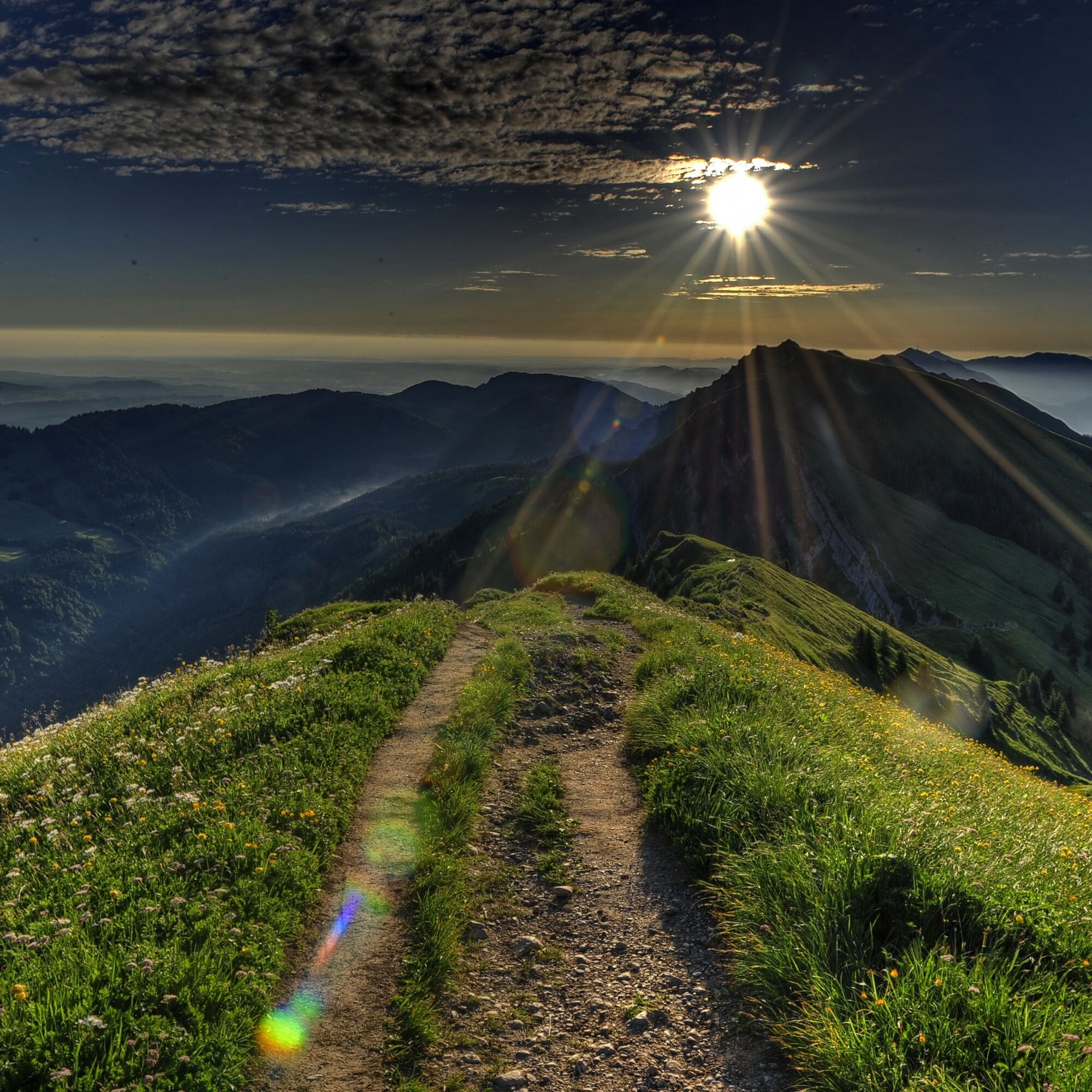

Hochgratbahn mountain station - Hochgrat - Rindalphorn - Buralpkopf - Gündleskopf - Sederer - Stuiben - Steineberg - Mittag - Mittagbahn mountain station
Tak
Tak
Hiking equipment and provisions for several hours without dining options.
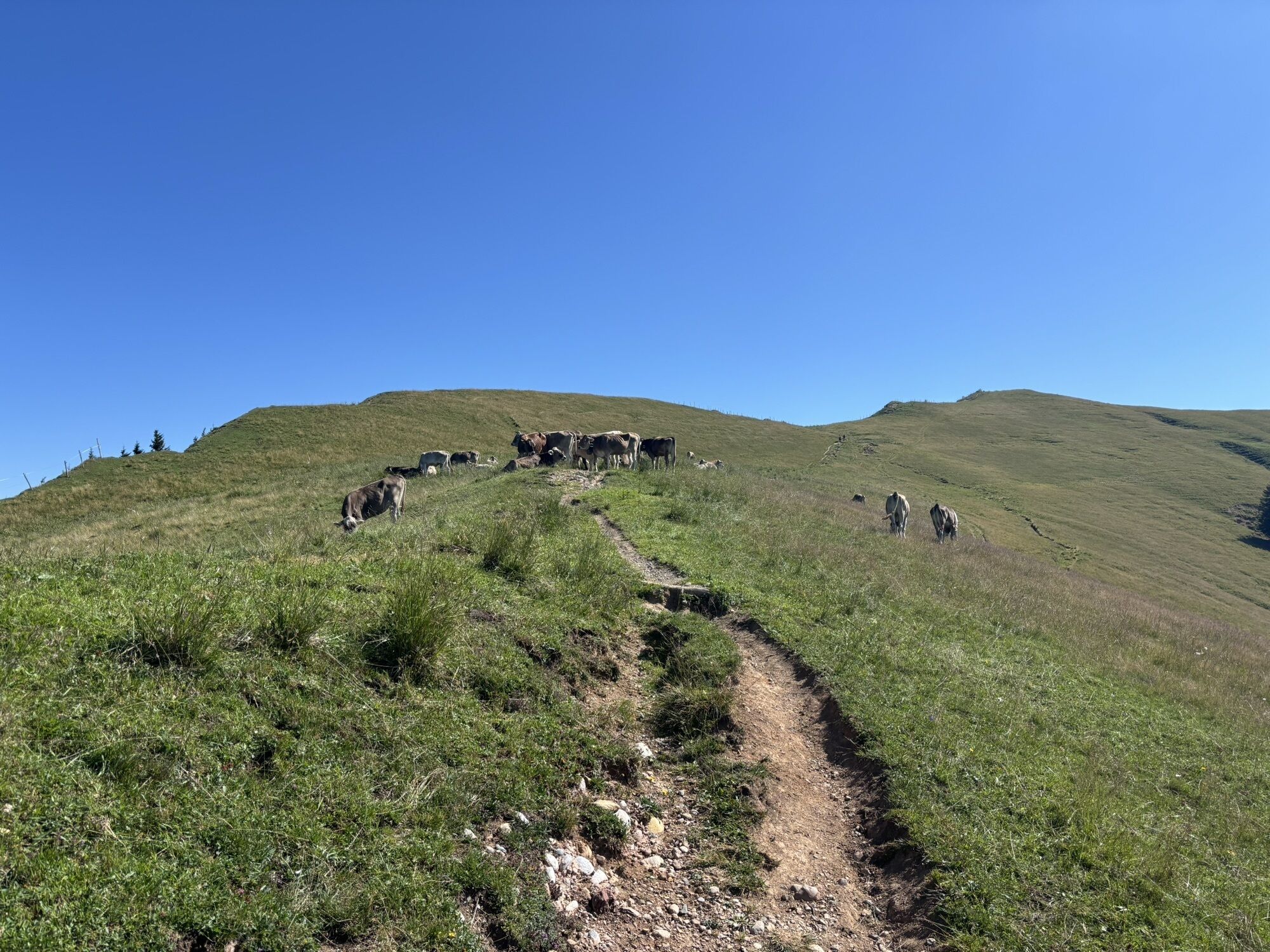
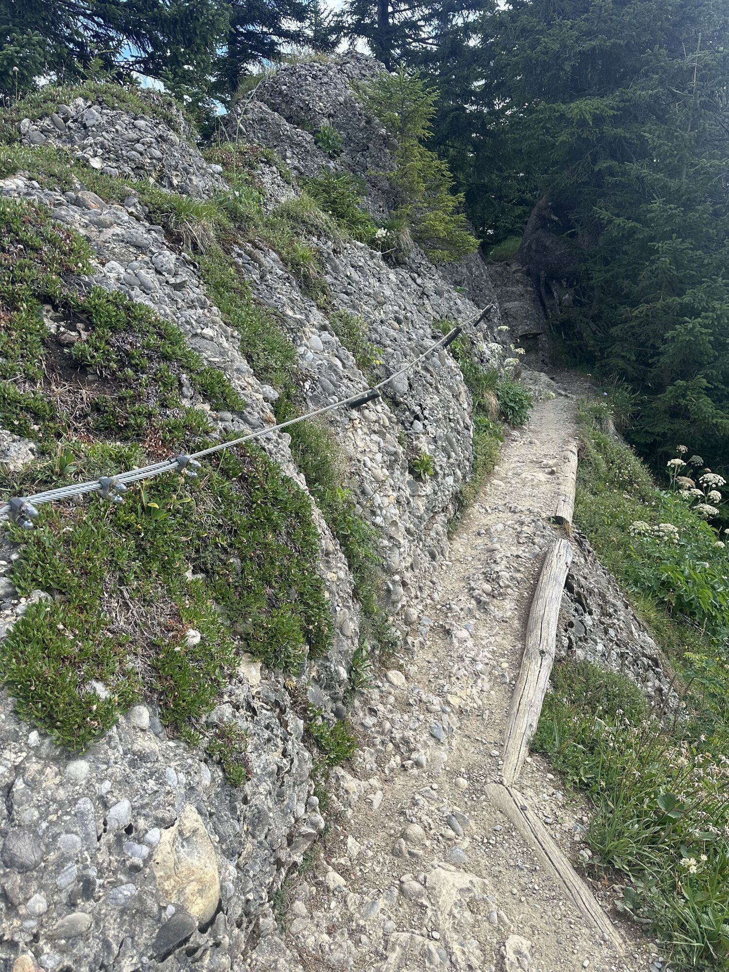
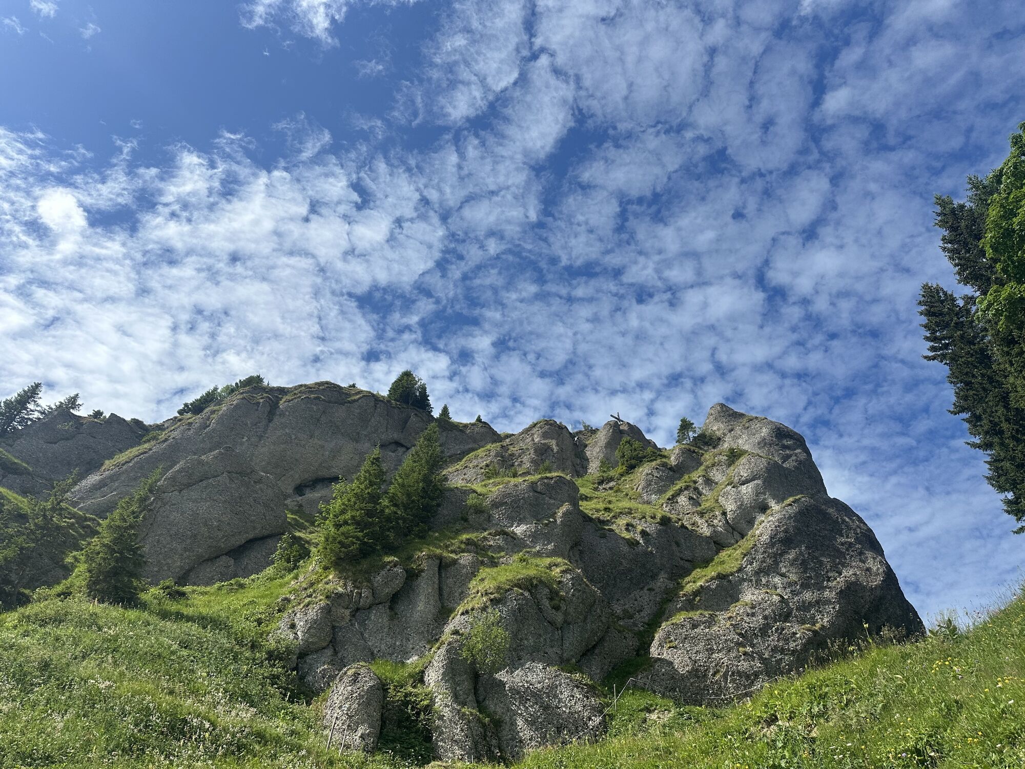
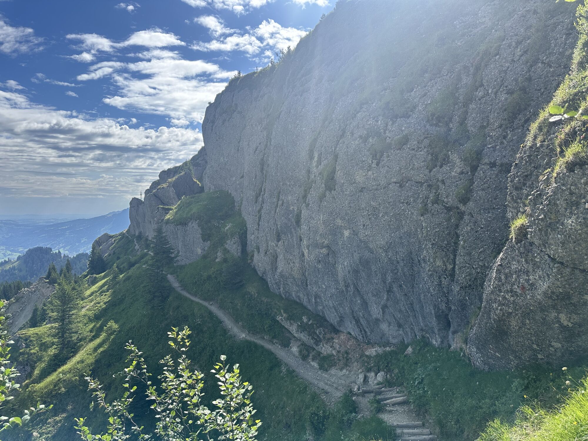
This point-to-point route is reserved for experienced mountain hikers who are sure-footed and free from fear of heights. The alpine ridges, the paths along the mountain meadows, the distinctive Nagelfluh rock, and the fantastic views in all directions make this route so special but require attentive walking in alpine terrain. We recommend only hiking the route free of snow. Please inform yourself in advance!
Traveling by bus and train in and around Oberstaufen?
Information, bus timetables and an overview map at oberstaufen.de/bus-parken
Paid parking spaces at the train station or at the Hochgratbahn valley station
Get information about the weather conditions in advance. www.oberstaufen.de/wetter
Stay on the marked paths.
112 Euro emergency call or SOS-EU-ALP emergency call app
Information about bus and train: www.oberstaufen.de/bus-parken
The route is also recommended in the opposite direction. If desired, it can also be shortened into the valley via the Brunnenauscharte before the ascent to the Hochgrat summit.

Kamery internetowe z trasy
Hochgratbahn Bergstation
Oberstaufen - Biohotel Schratt
Oberstaufen - Biohotel Schratt
Segelclub Alpsee
Gschwendlift 1 Bergstation
Balderschwang - Schelpenbahn
Bergstation Weltcup-Express
Bergstation Ofterschwang
Gipfel Ofterschwanger Horn
Talstation Ossi-Reichert Bahn
Segelclub Alpsee
Mittaggipfel
Sonthofen - Panzer & Braun Tiefbau
Balderschwang
Alpe Hohenschwand
Alpe Birkach
Imberghaus
Balderschwang - Siplinger Suites
Ofterschwang - Allgäuer Berghof
Schelpenalp Talstation
Blaichach - Gunzesried
Alpsee Bergwelt
Alpsee Bergwelt
Alpsee Bergwelt - Bärenfalle
Alpe Birkach - Nagelfluh
Allgäuer Berghof - Erlebnishof

Aktywności na trasie


Popularne wycieczki w okolicy
- 4,6
Steibis - Buchenegger Waterfalls
średniWędrówka 6,47 km - 4,5
Hittisau | Wasserwanderweg
światłoTrasa tematyczna 7 km - 3,9
Klassikertour: Auf den Grünten
ciężkiWędrówka 8,50 km - 4,1
Winter circular hike through the Breitachklamm gorge
średniWędrówka zimą 5,66 km - 4,4
3-Gipfel-Tour bei Sonthofen im Allgäu
średniWędrówka 11,4 km - 4,4
Wanderung auf den grünten
średniWędrówka 8,31 km - 4,4
Starzlachklamm
średniWędrówka 5,30 km - 4,6
Breitachklamm Rundweg (Alpe Dornach)
średniWędrówka 7,65 km - 4,7
Rindalphorn und Hochgrat
średniWędrówka 15,6 km - 4,6
Wanderung auf den Sonnenkopf
średniWędrówka 6,60 km
Wędrówki i tropienie


Nie przegap ofert i inspiracji na następne wakacje
Twój adres e-mail została dodana do listy mailingowej.





