







"Grenzgänger Tour" Blauberg crossing

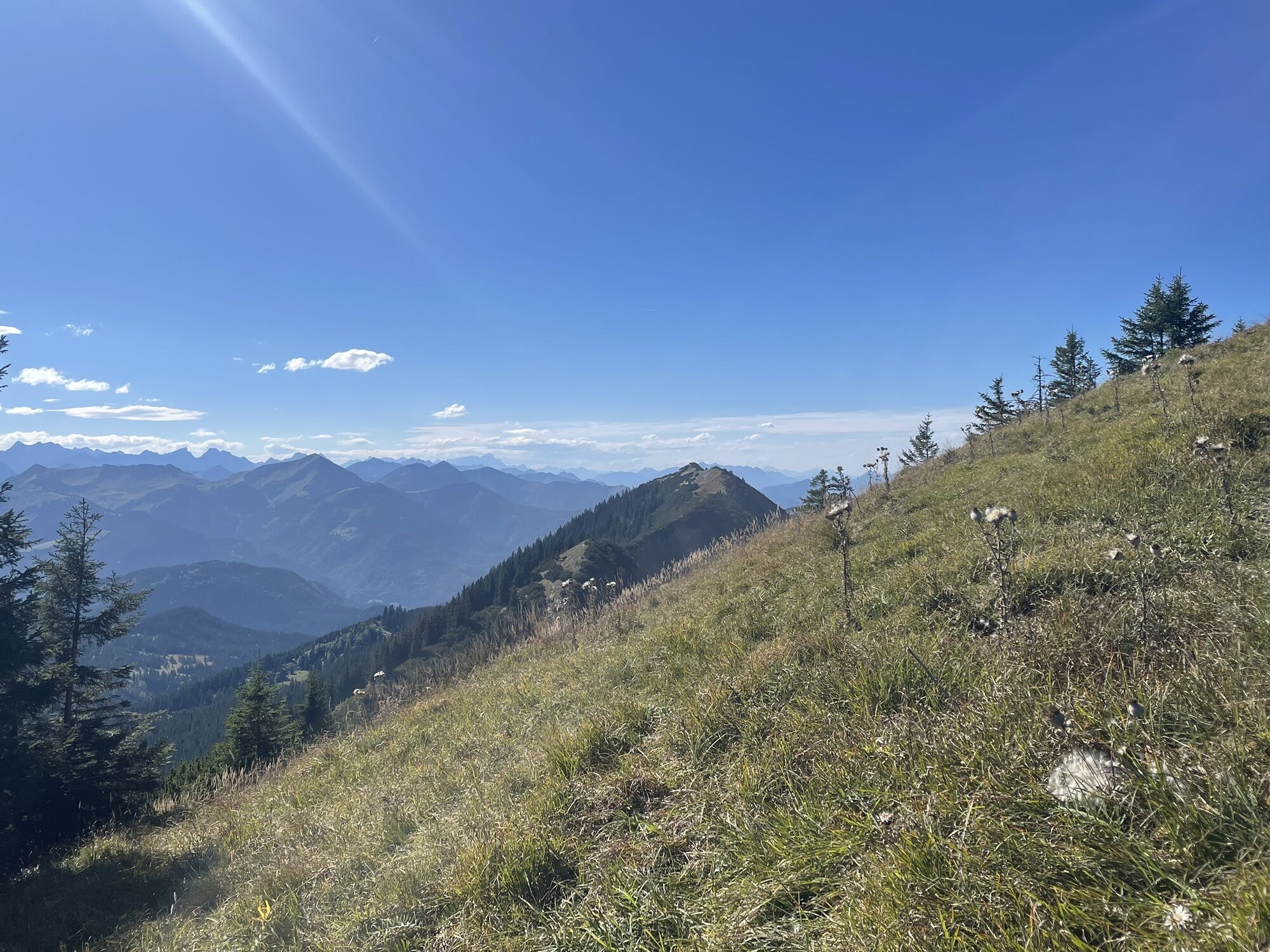
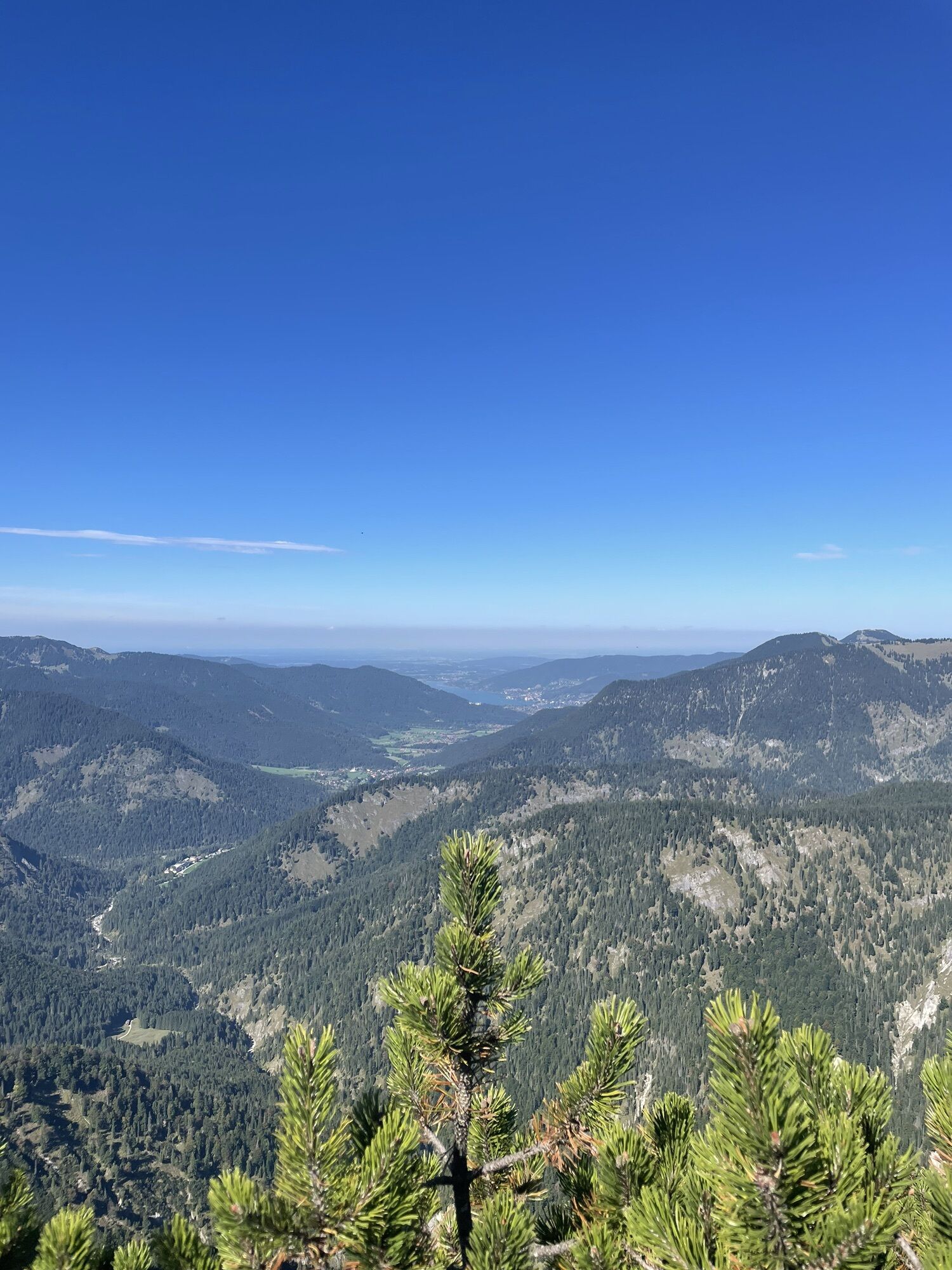
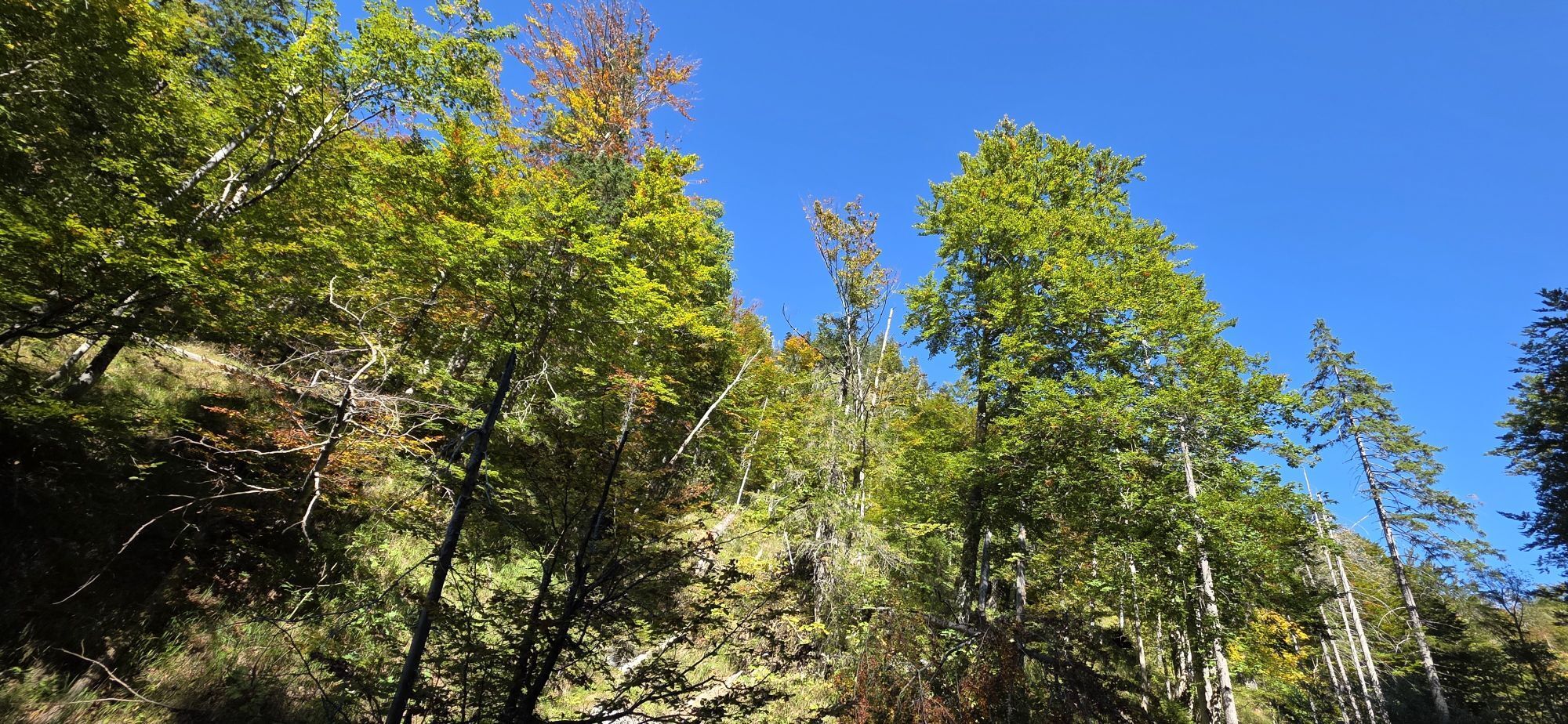
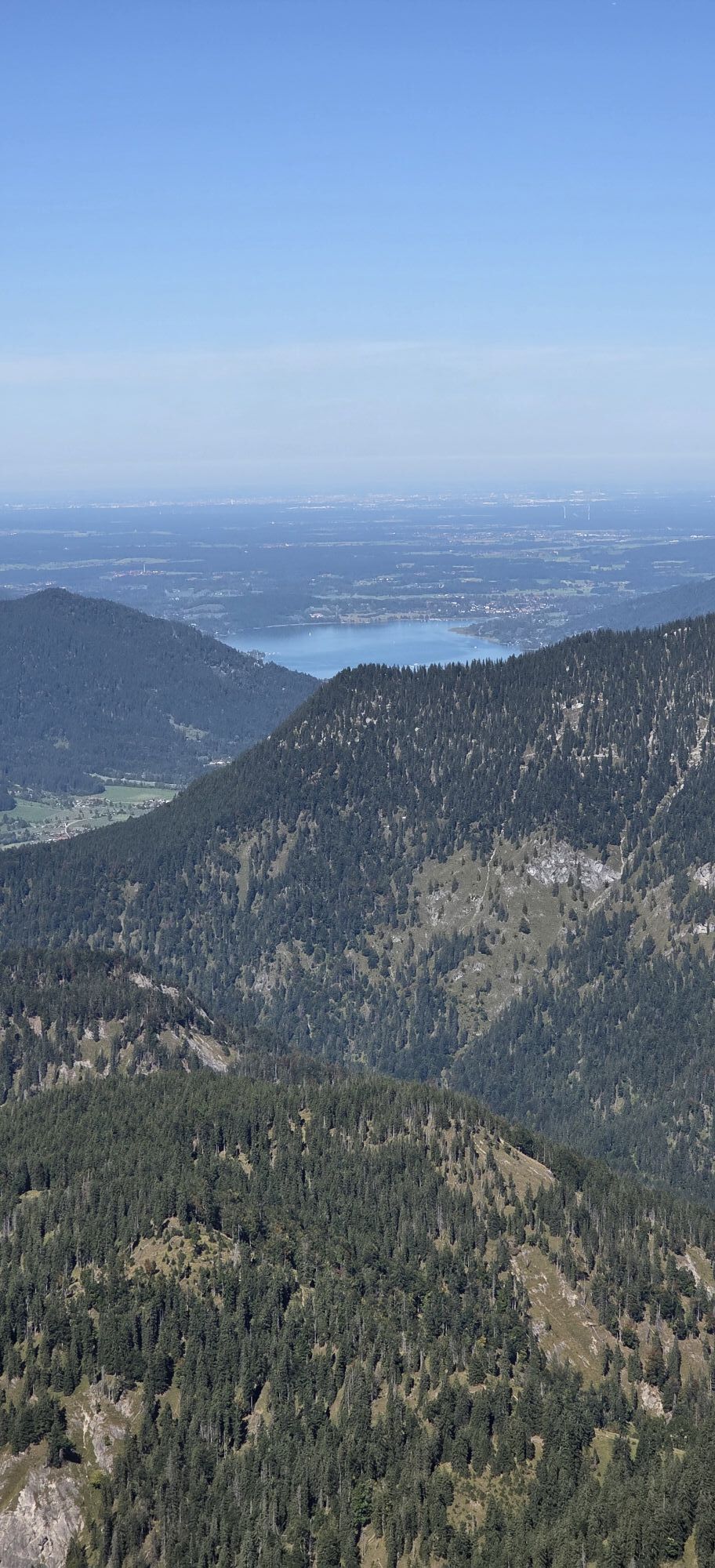
- The longest route at Tegernsee, please start early or spend the night at Blaubergalm or Gufferthütte
- Many meters of altitude
- Many trails
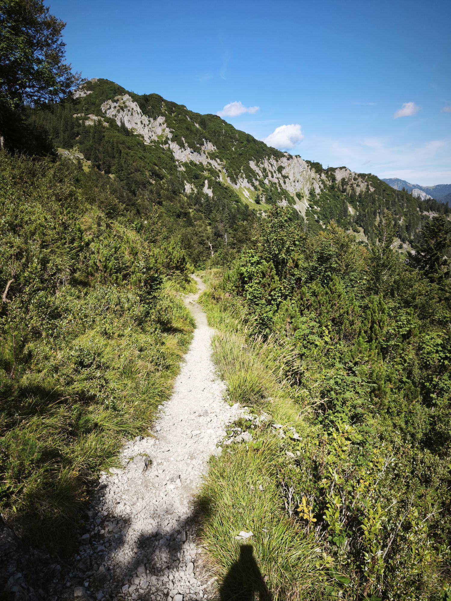
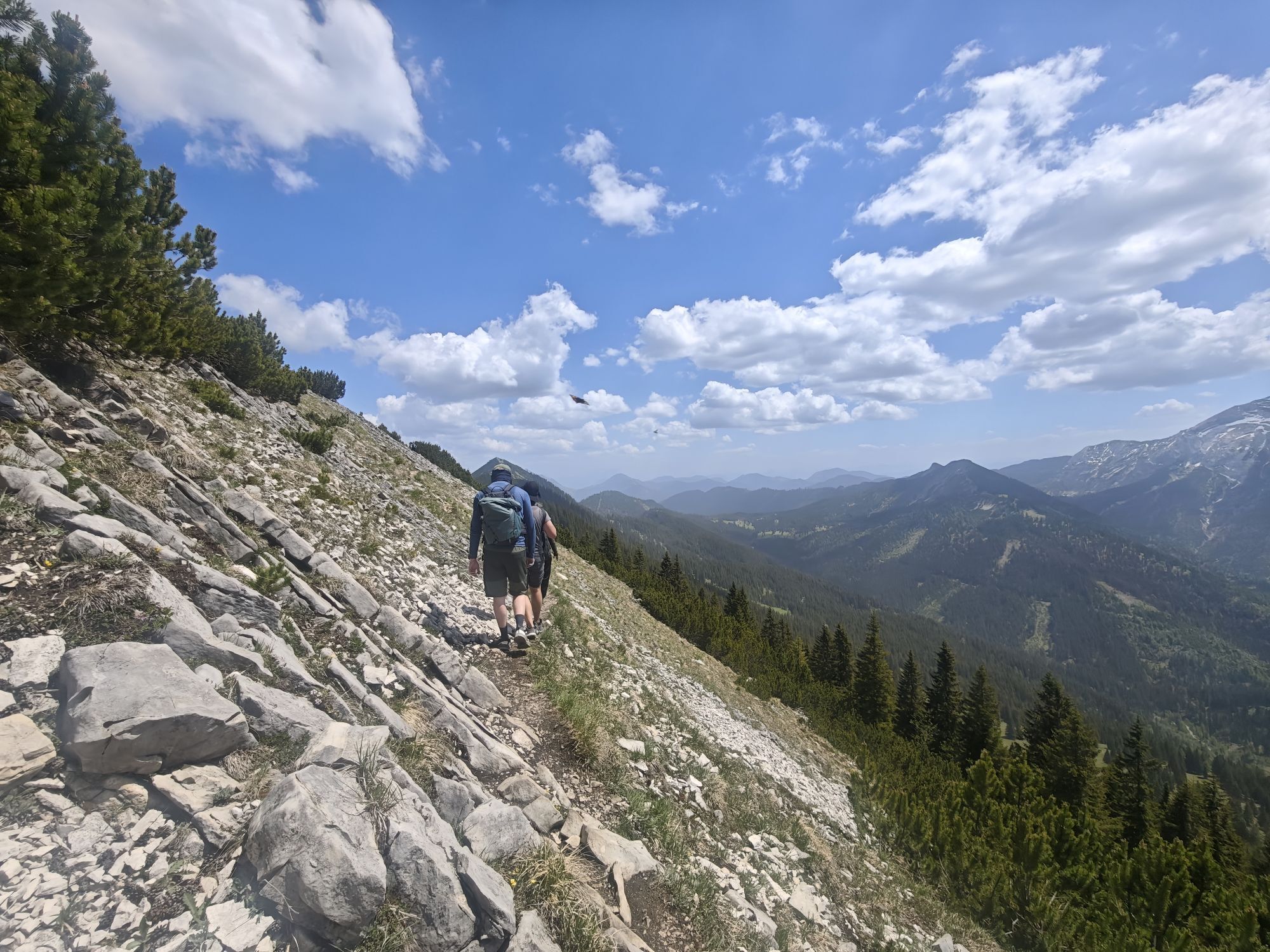
- Ridge path along the border
- Almost all difficult sections...
- The longest route at Tegernsee, please start early or spend the night at Blaubergalm or Gufferthütte
- Many meters of altitude
- Many trails
- Ridge path along the border
- Almost all difficult sections can be bypassed.

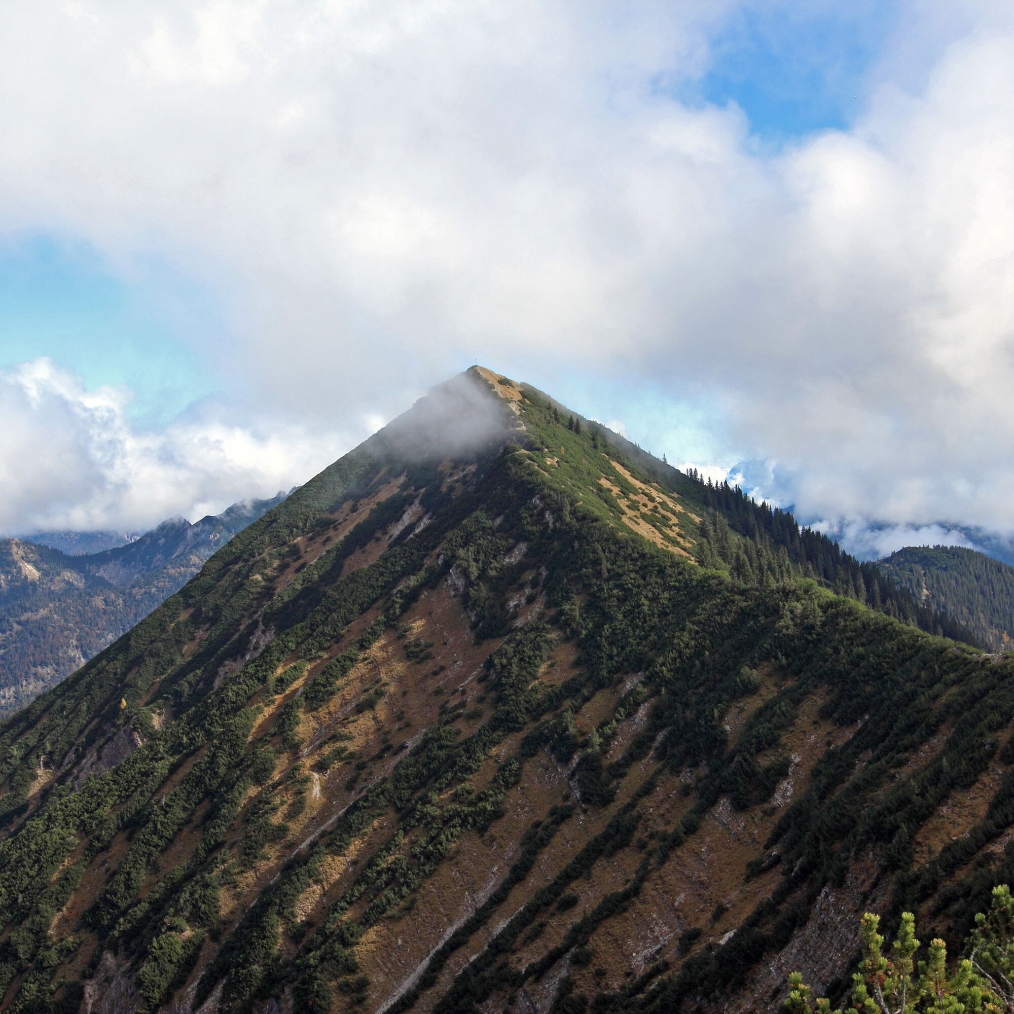
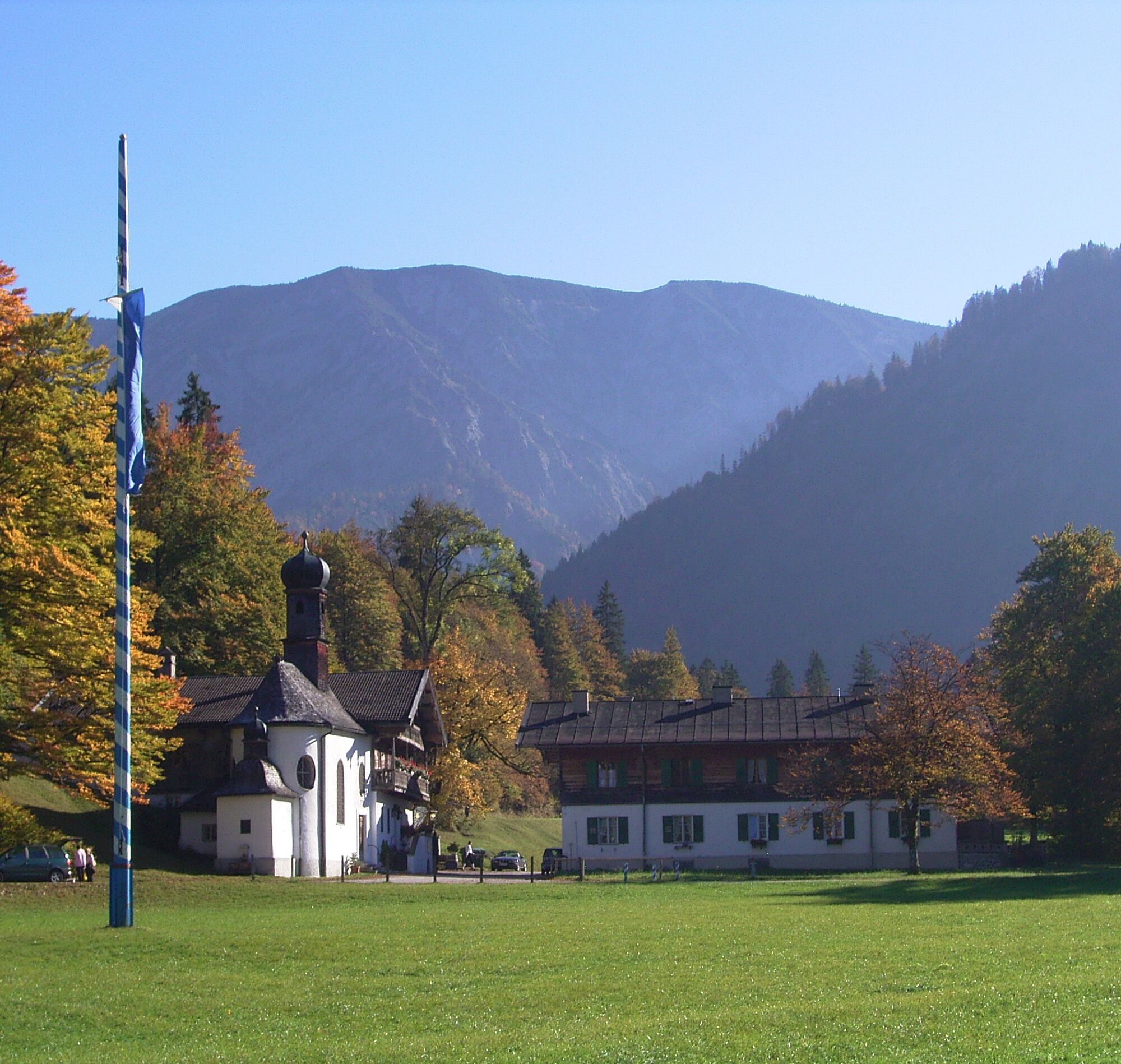
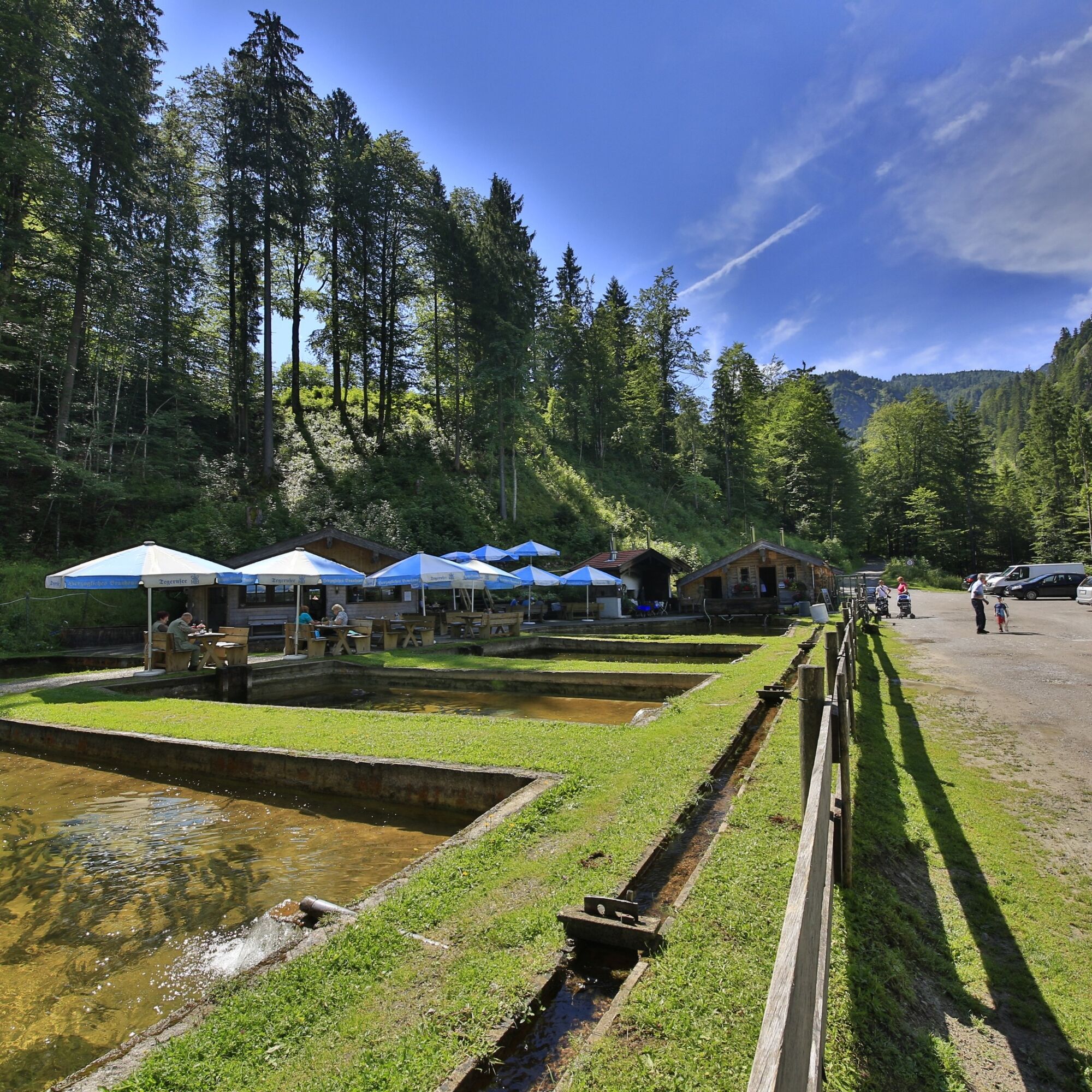
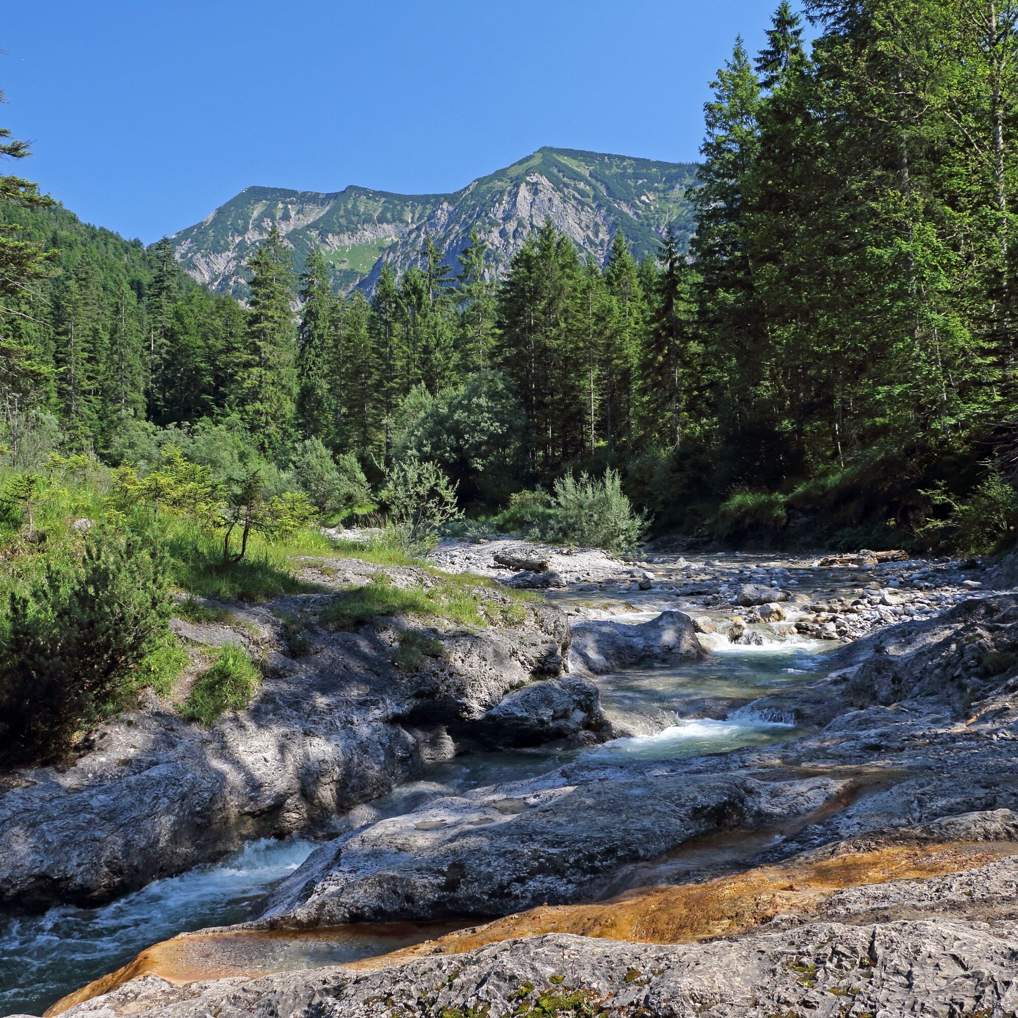
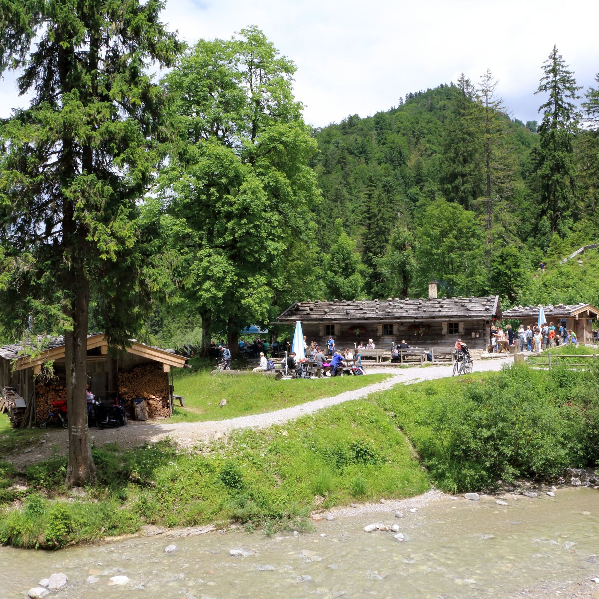
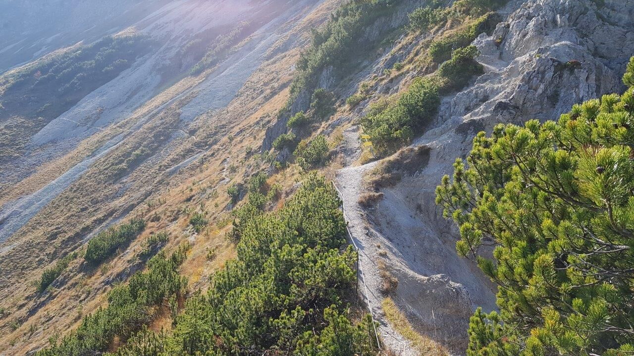
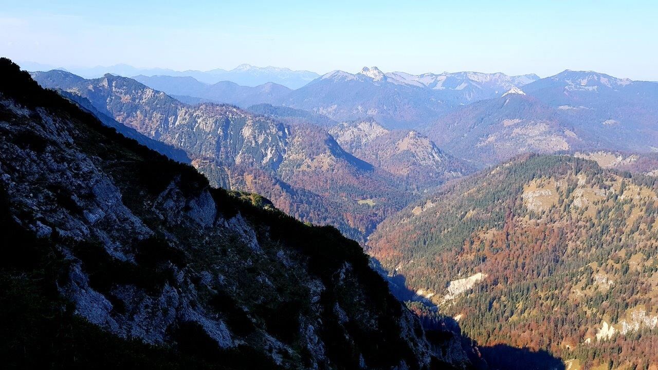
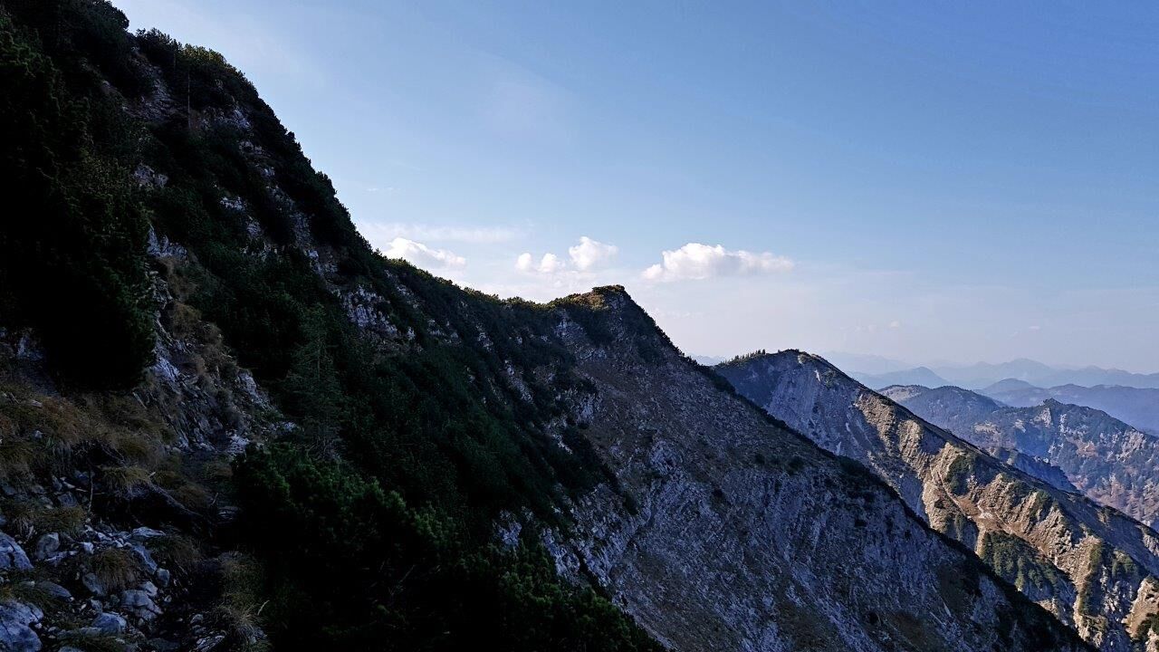
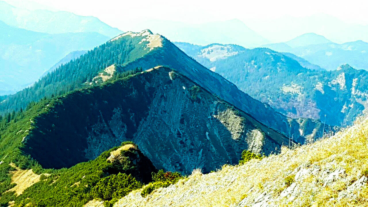
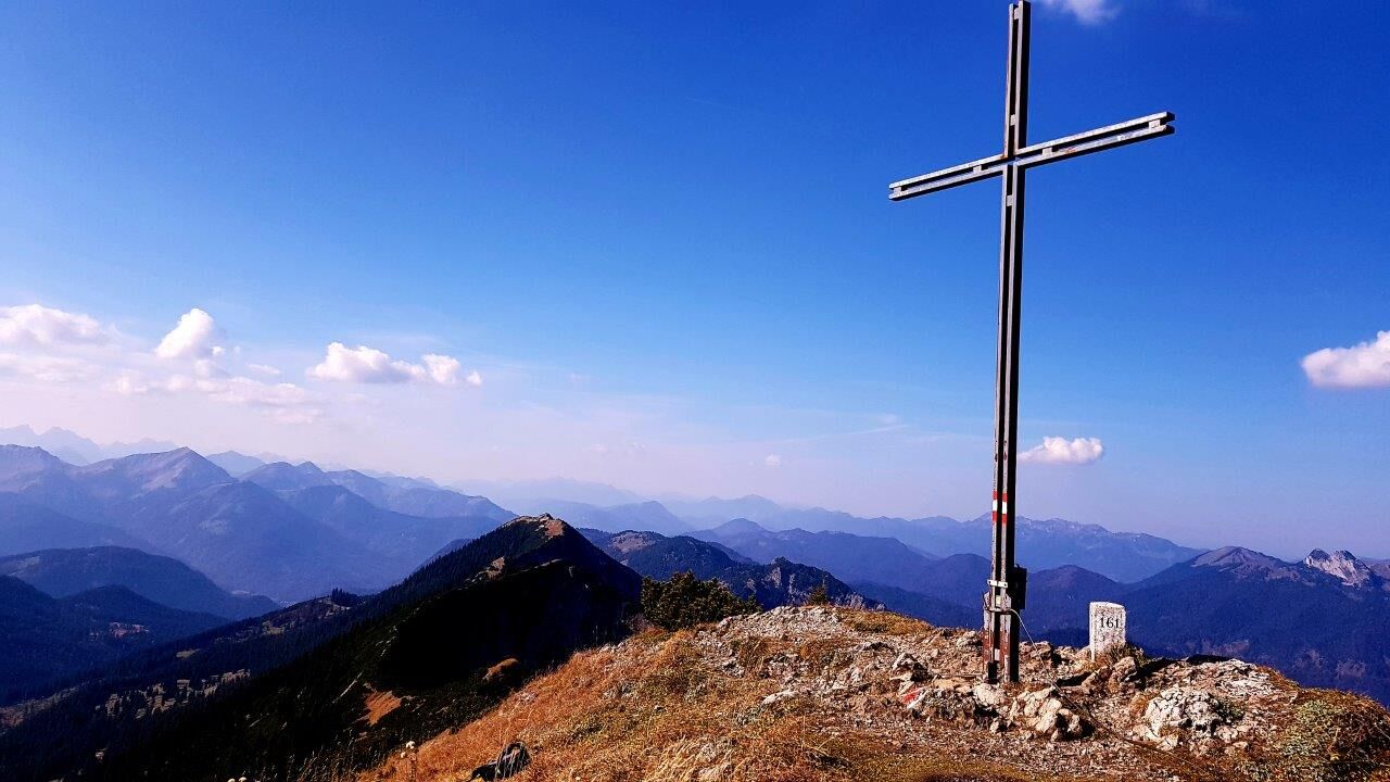
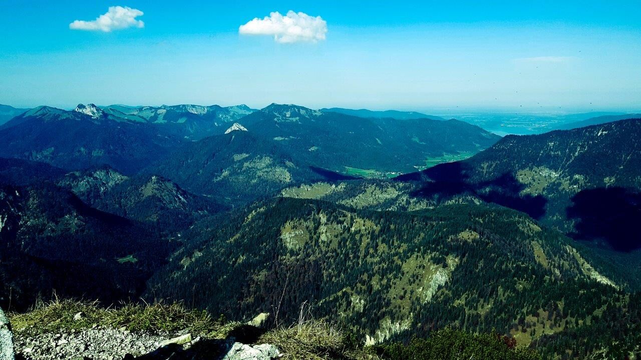
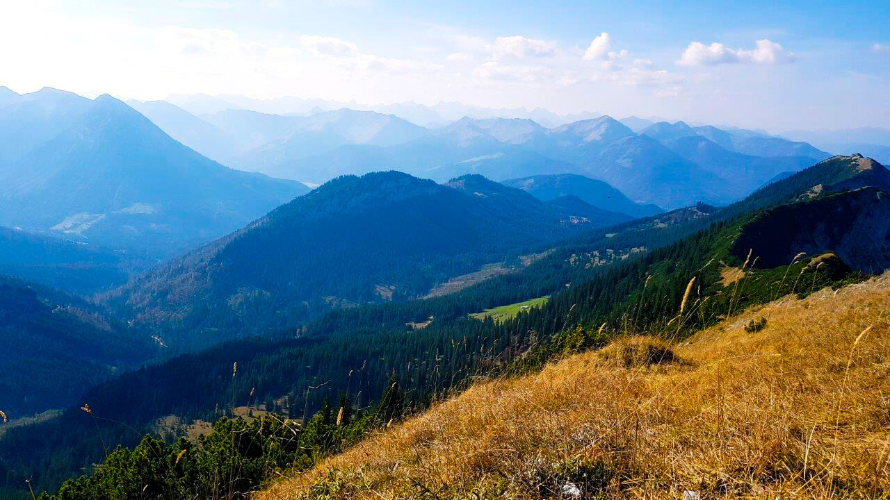
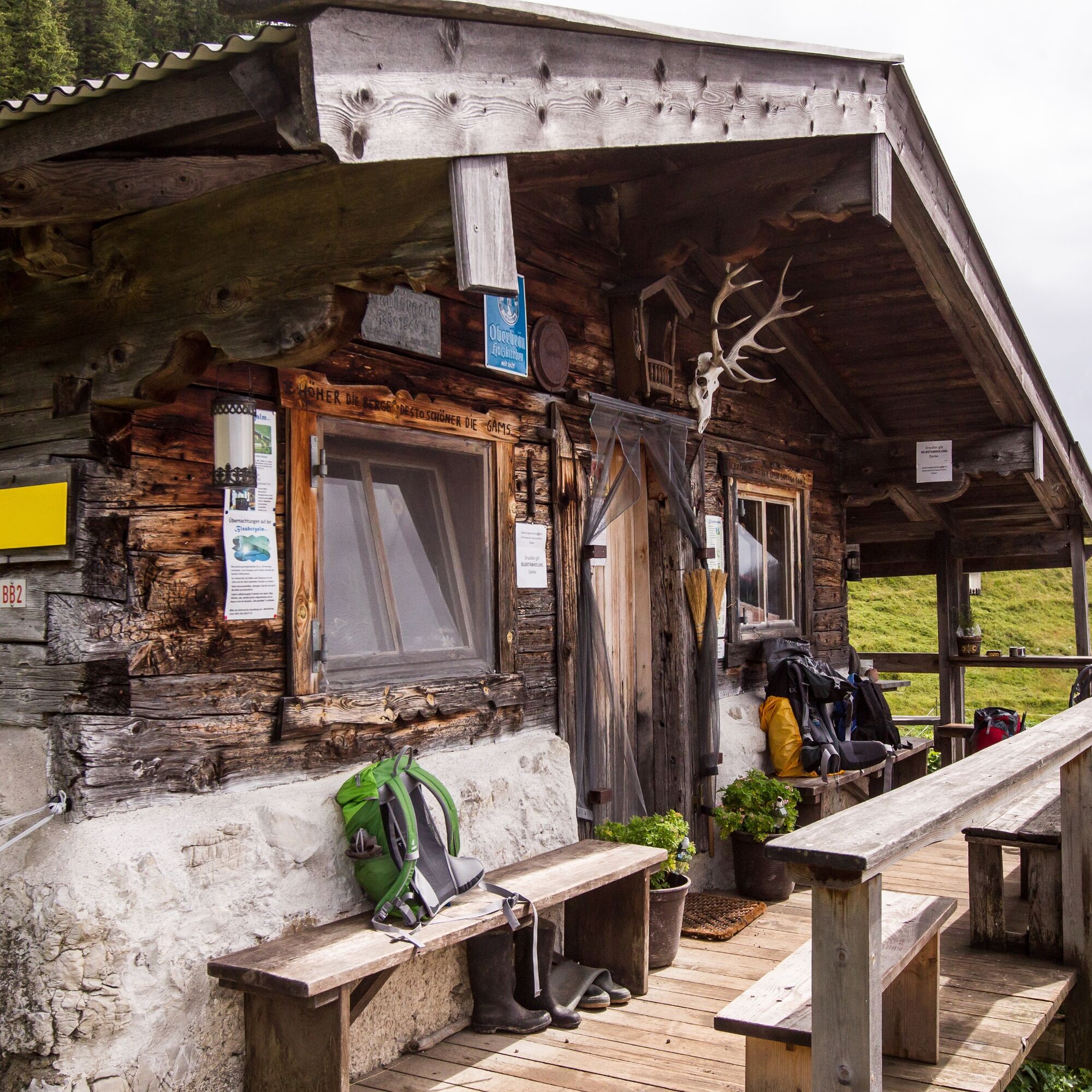
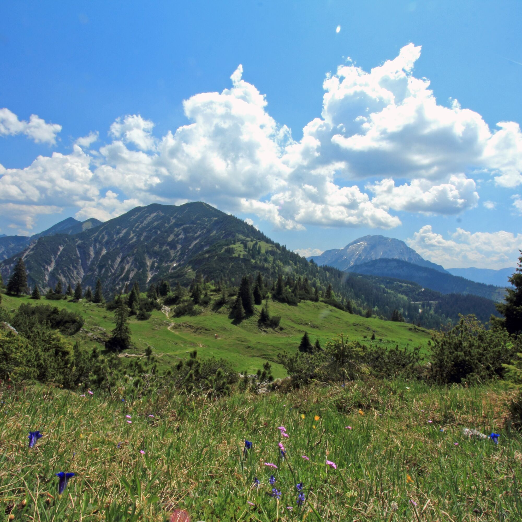
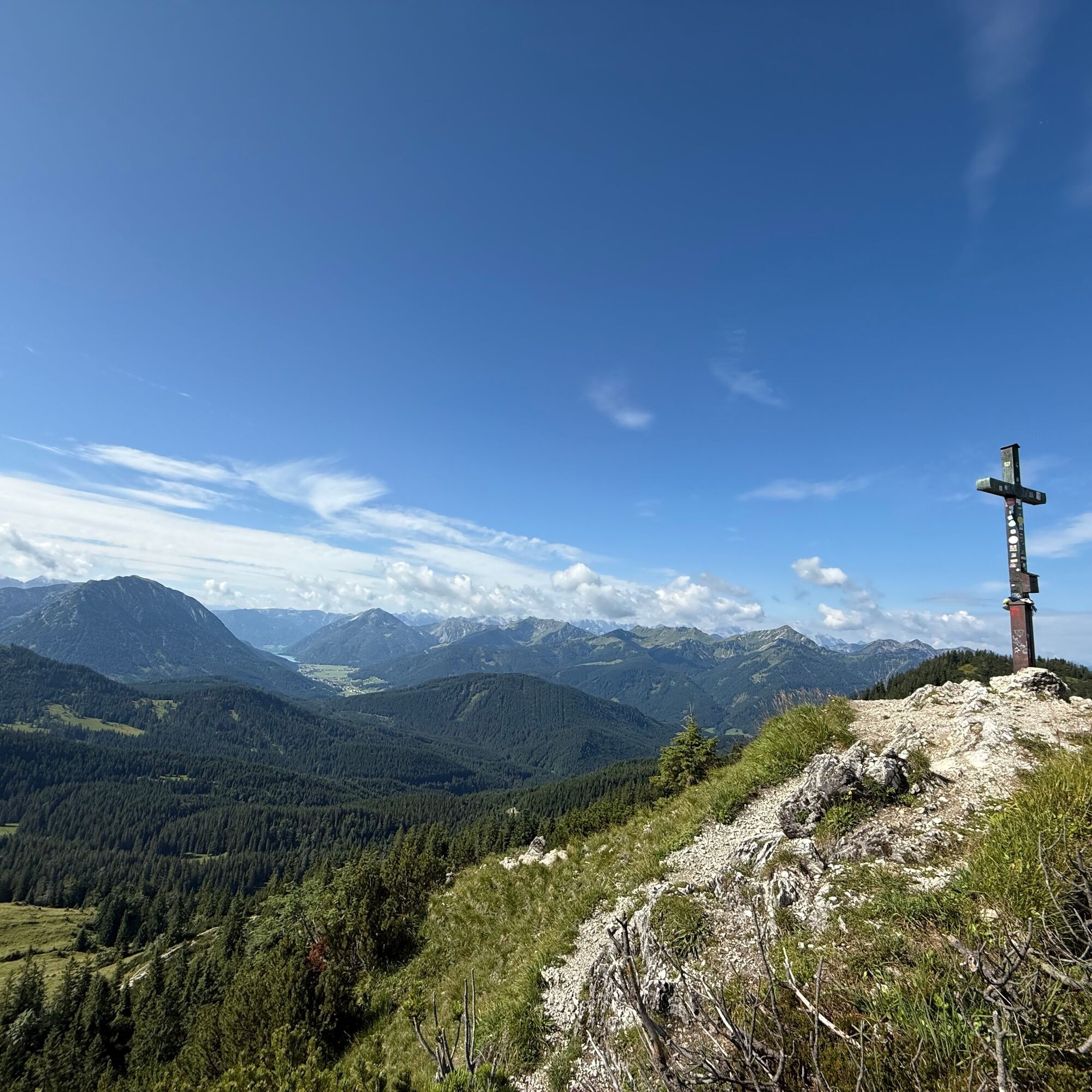
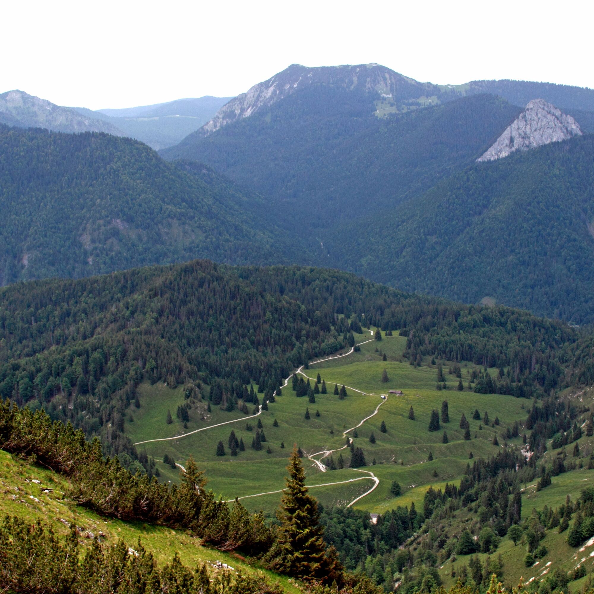
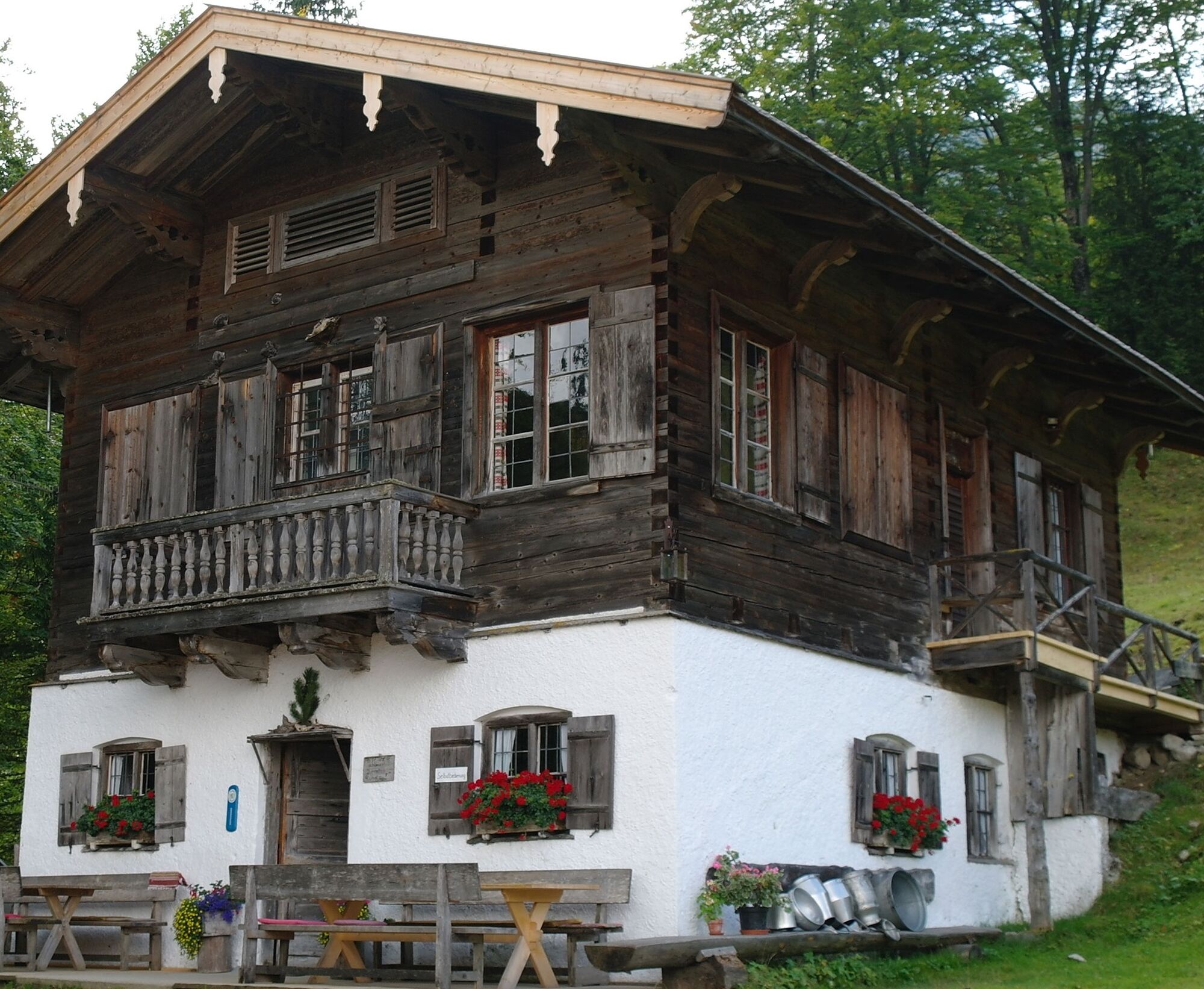
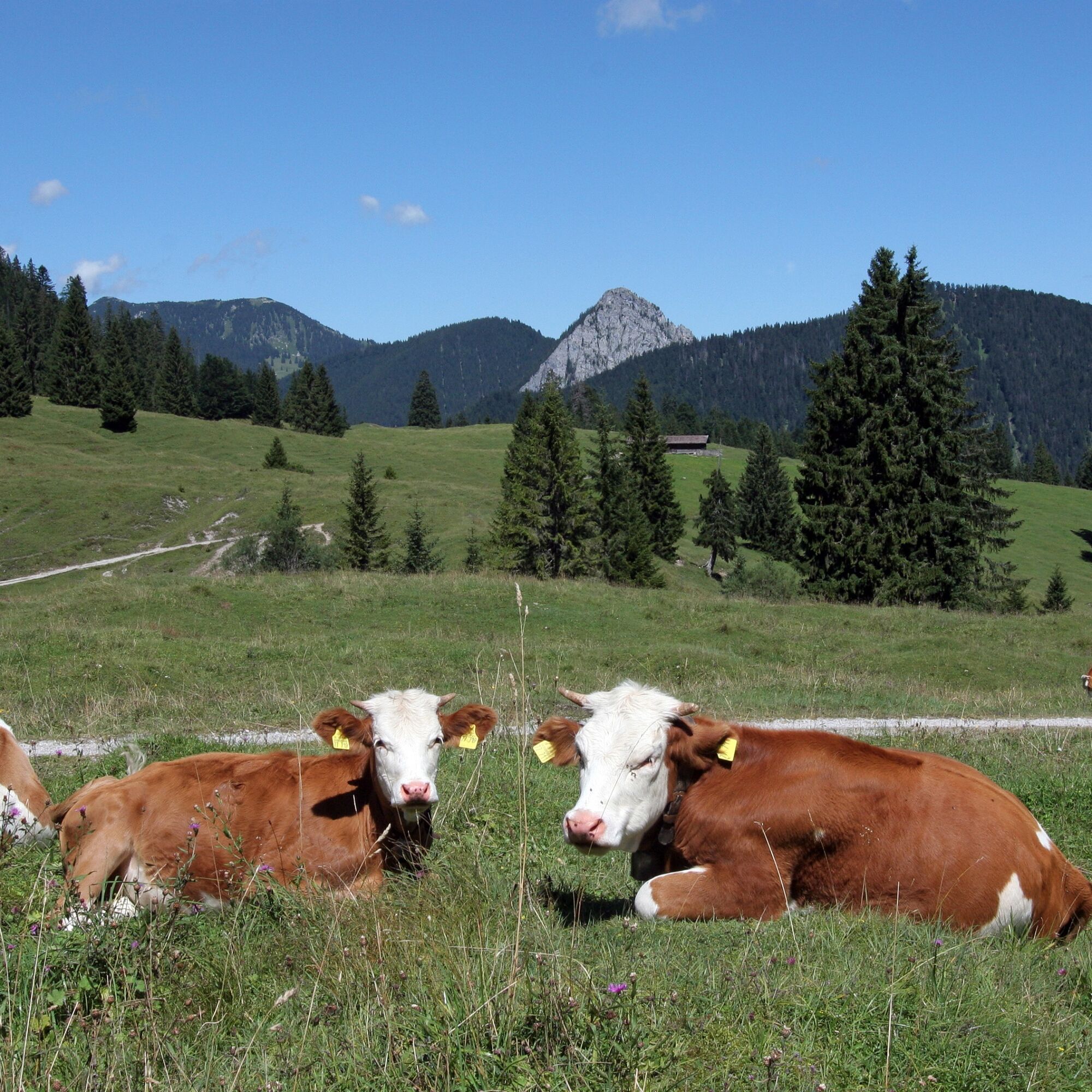
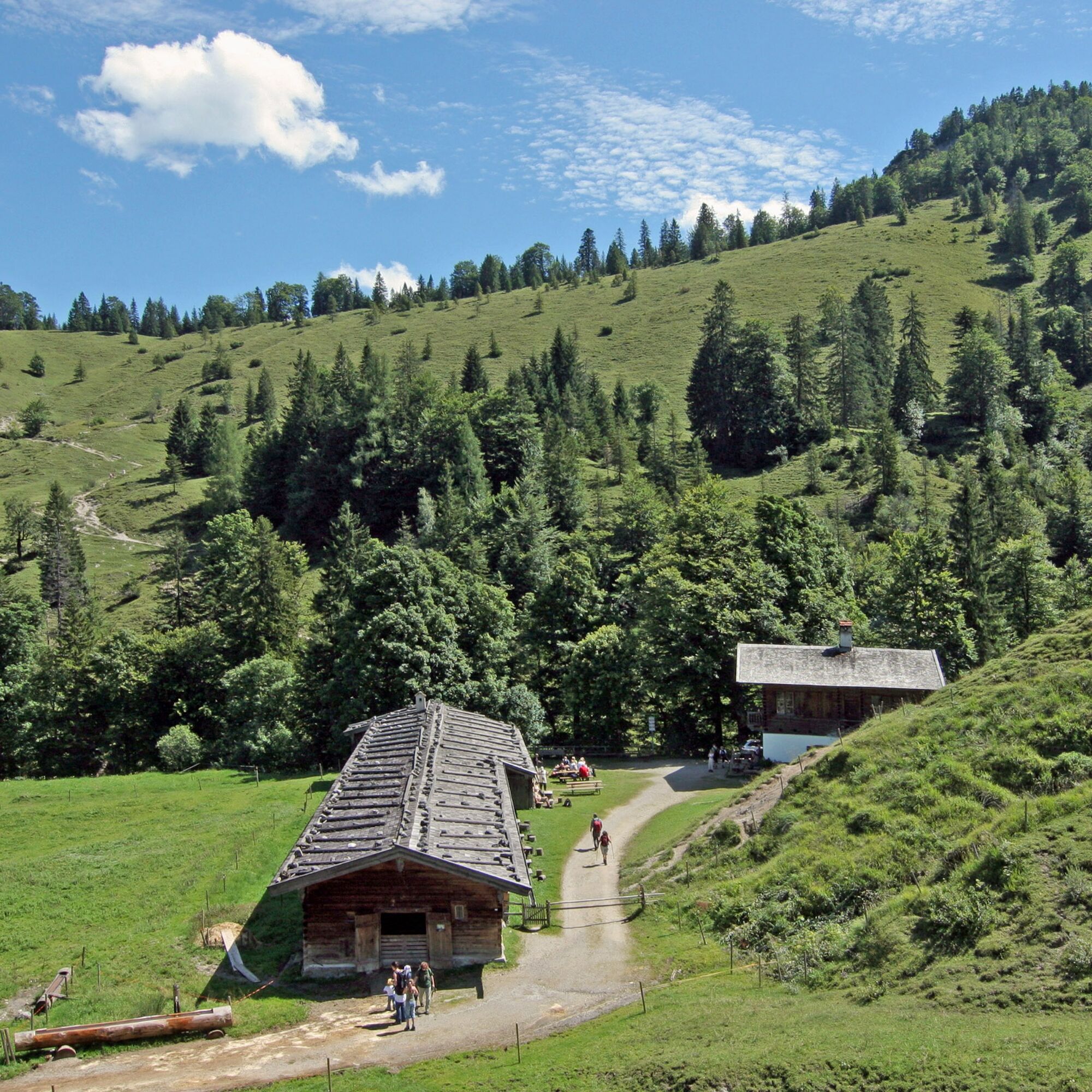
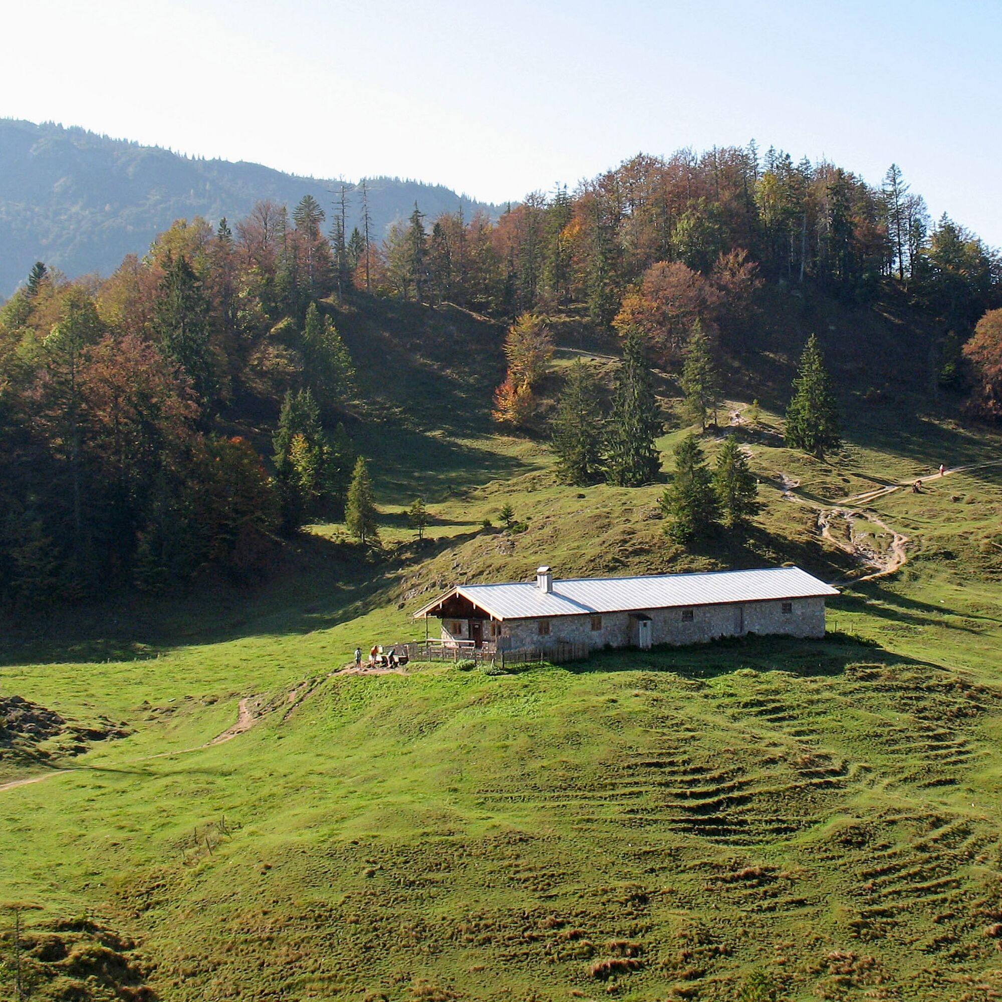
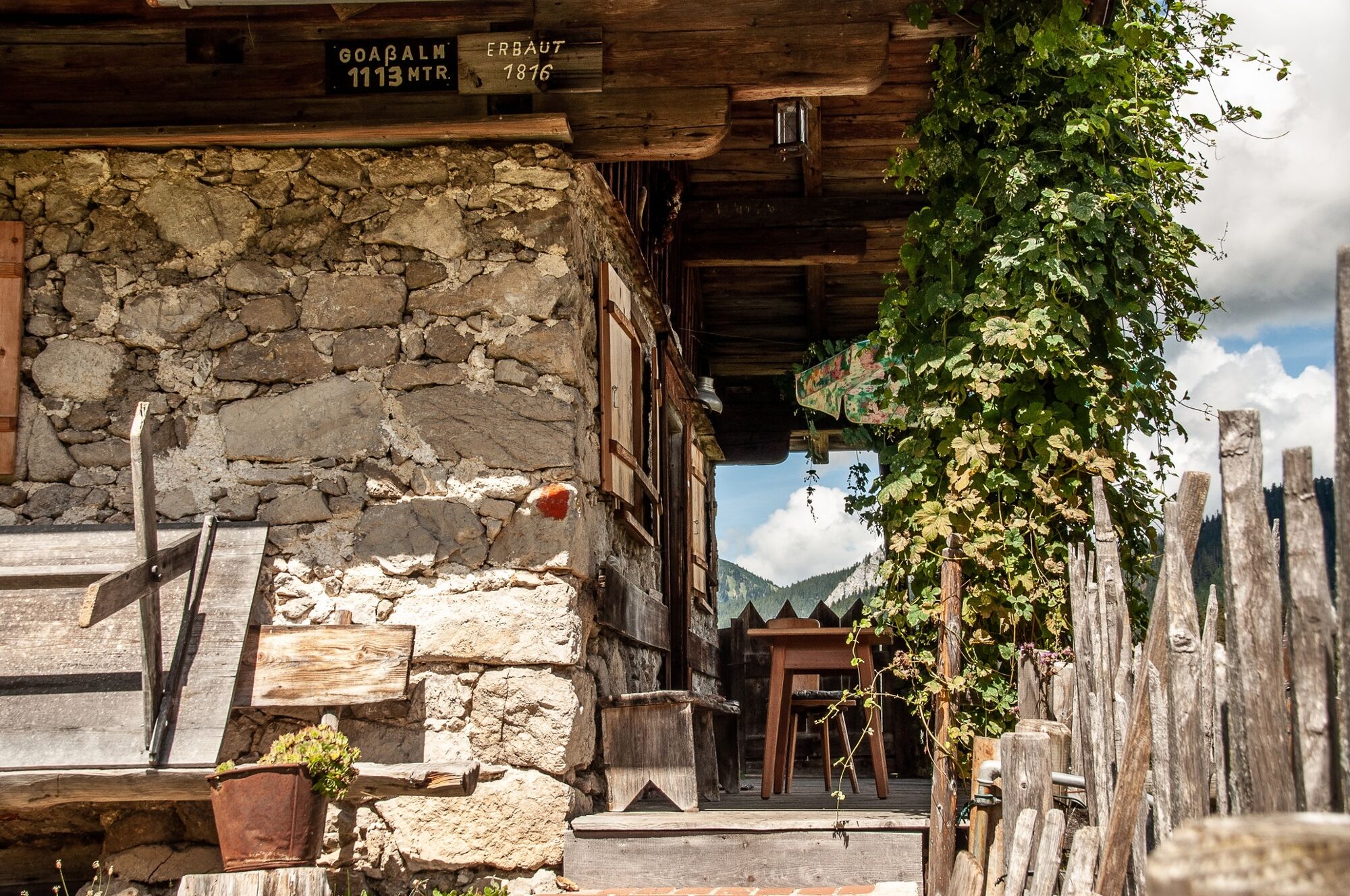
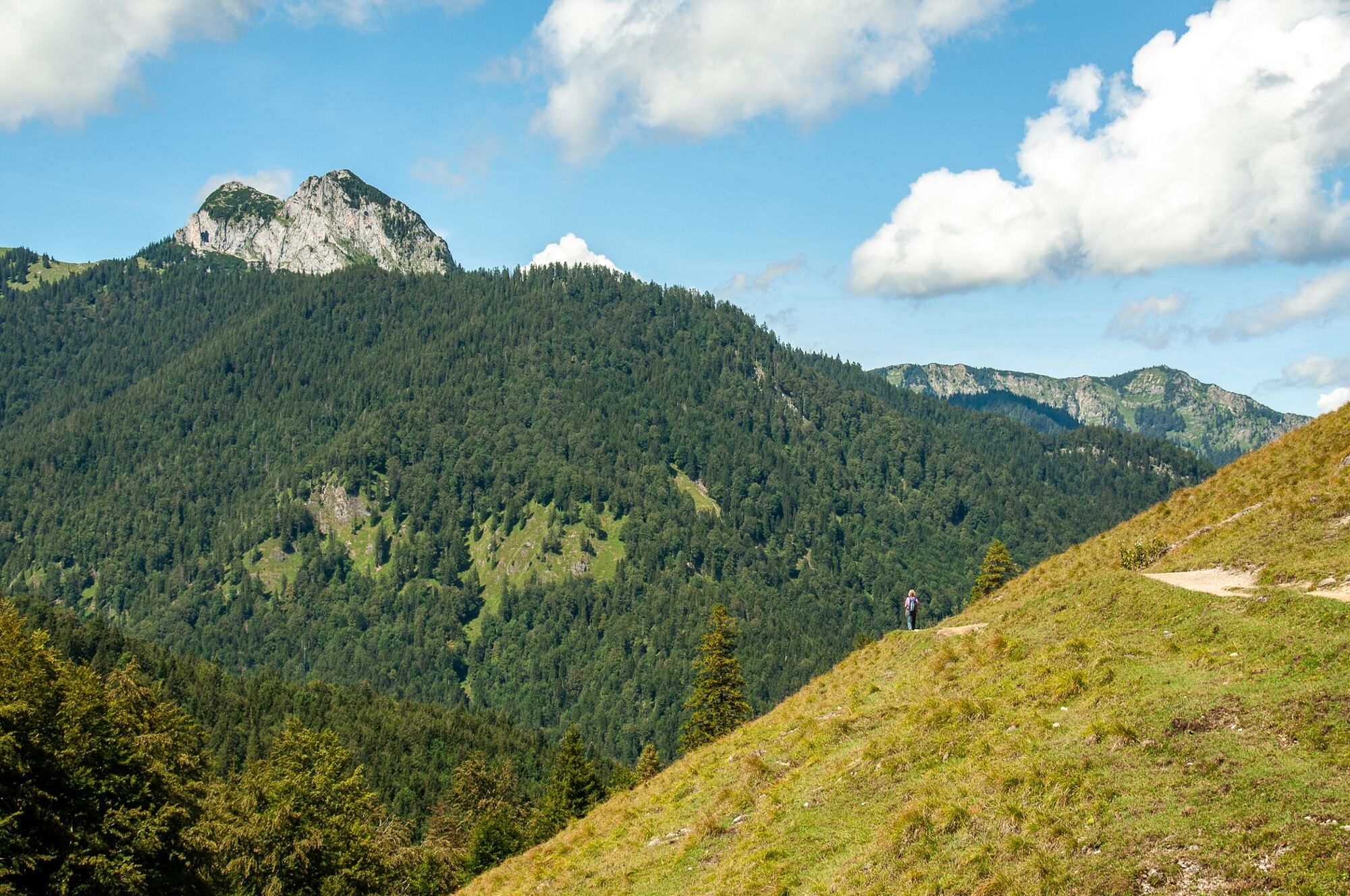
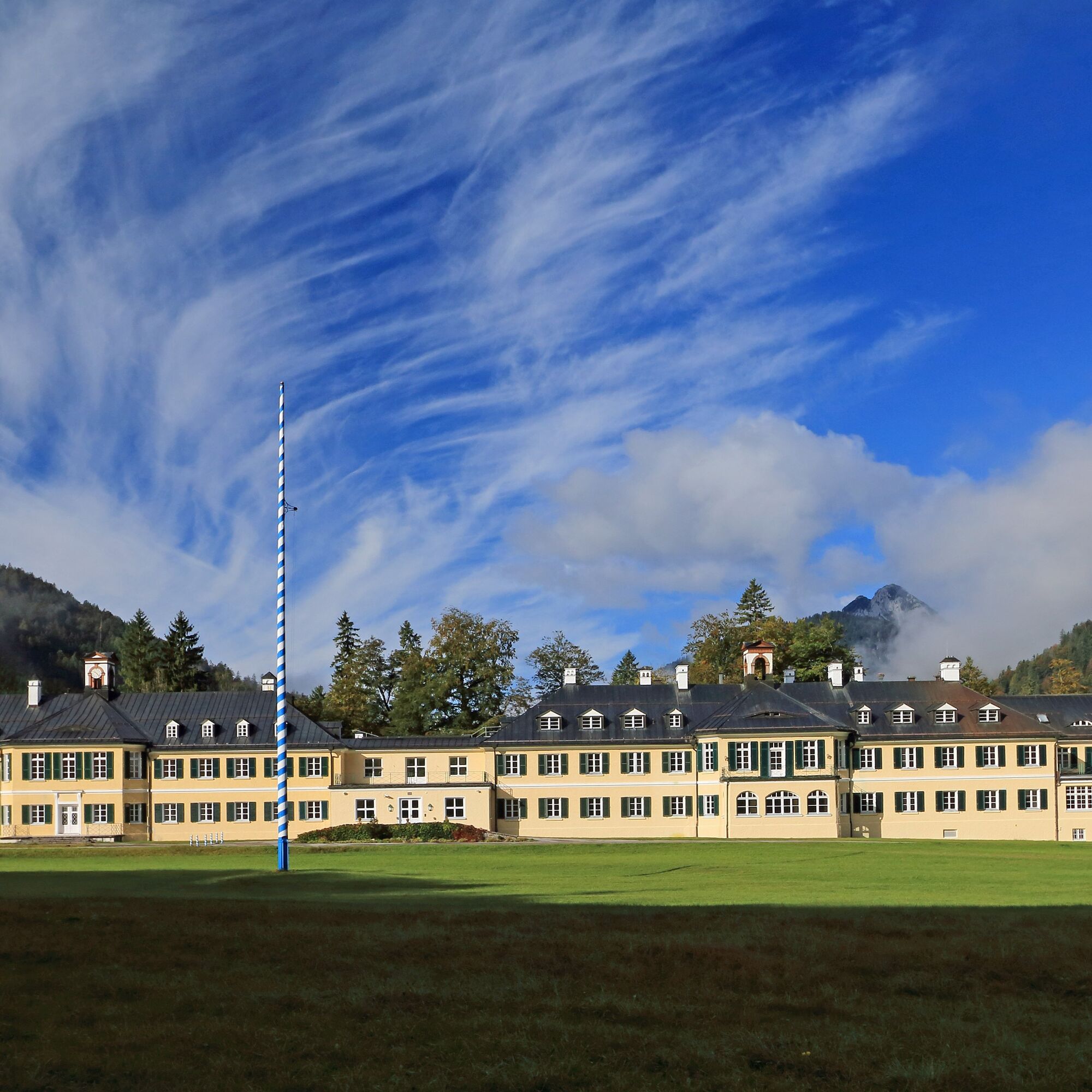
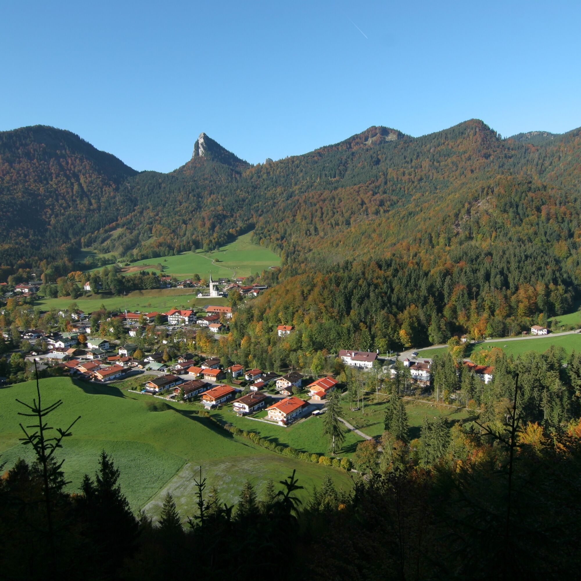

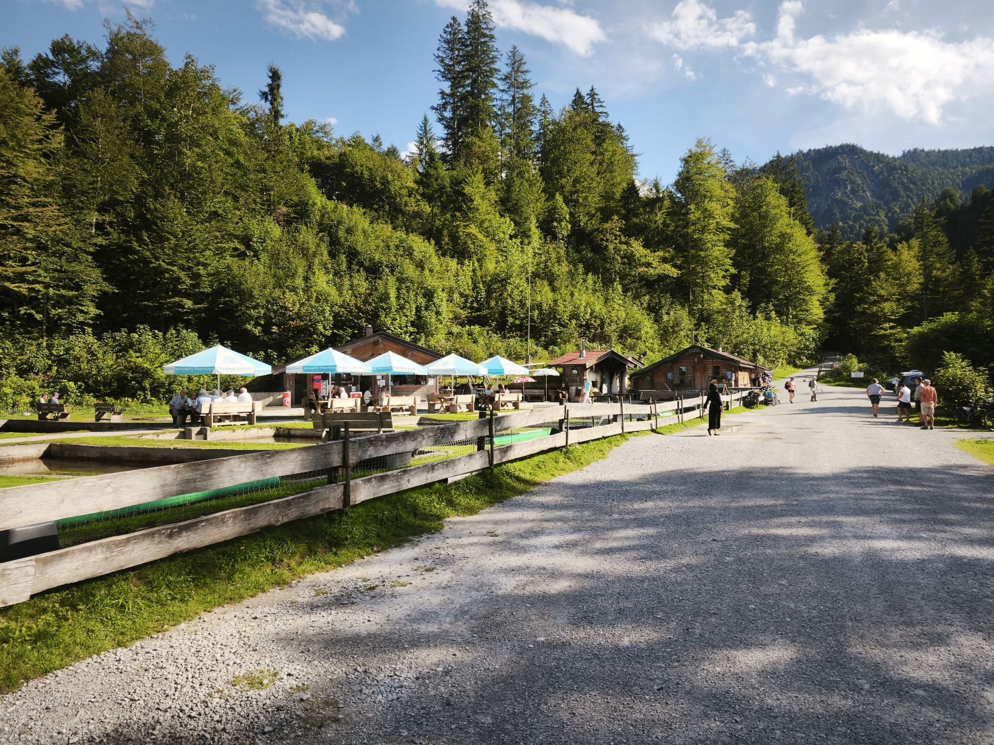
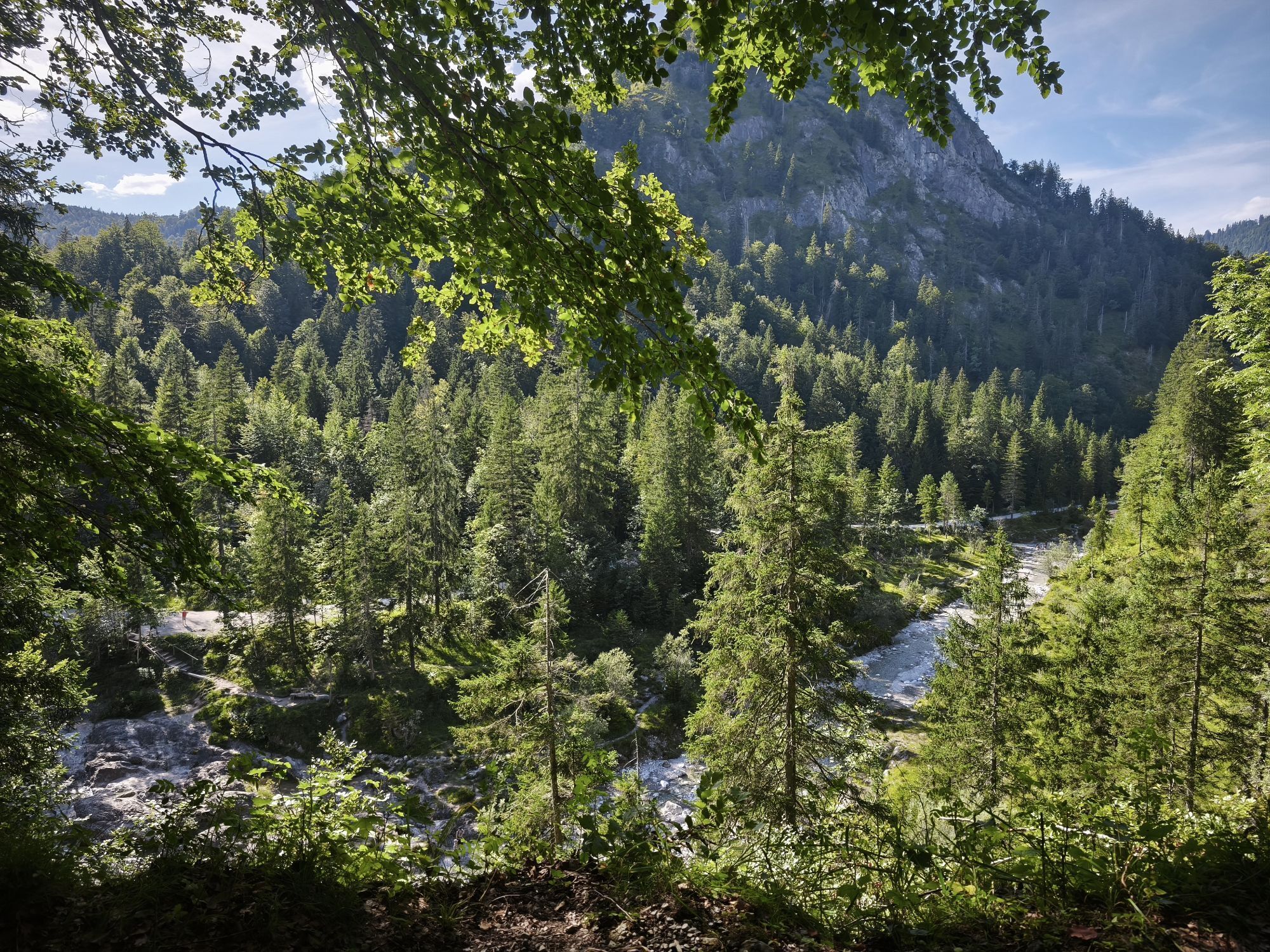
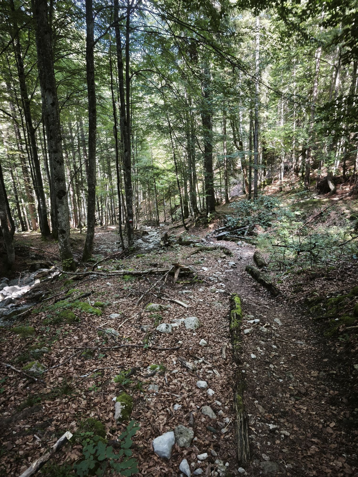
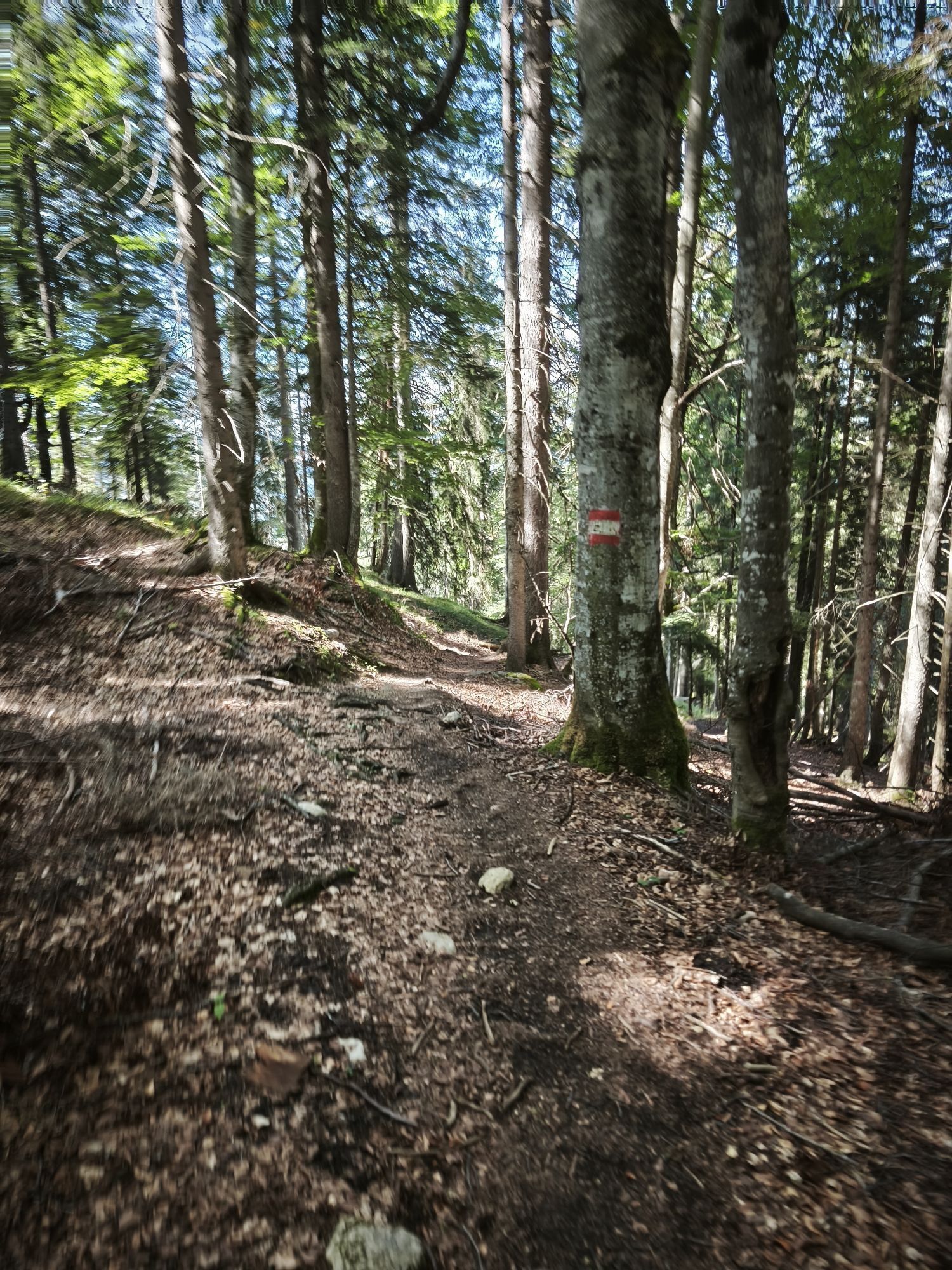
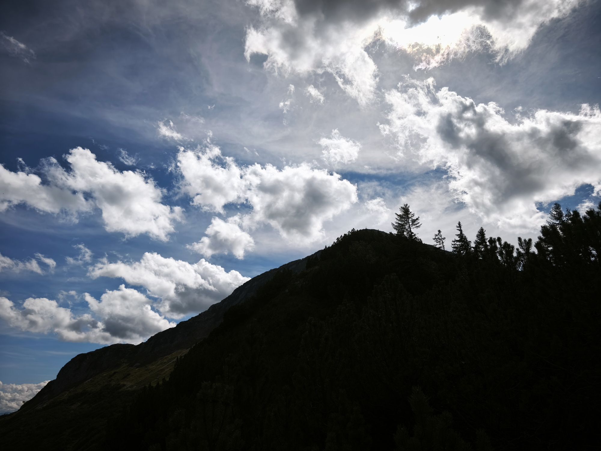
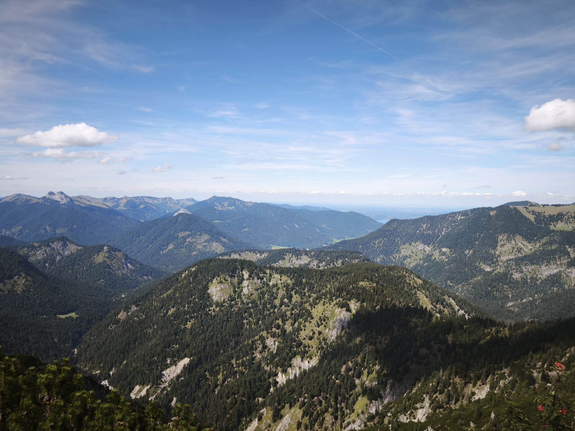
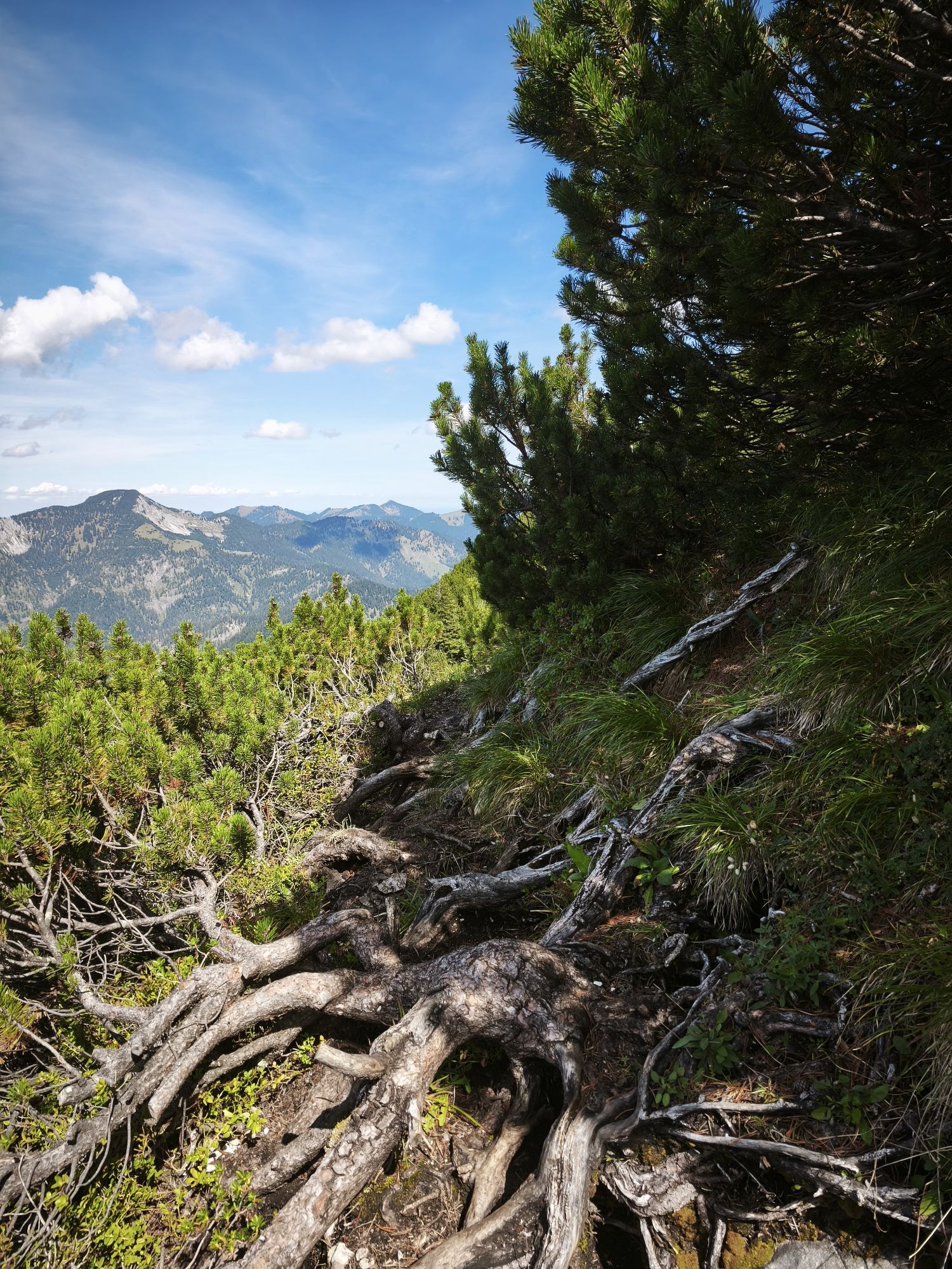
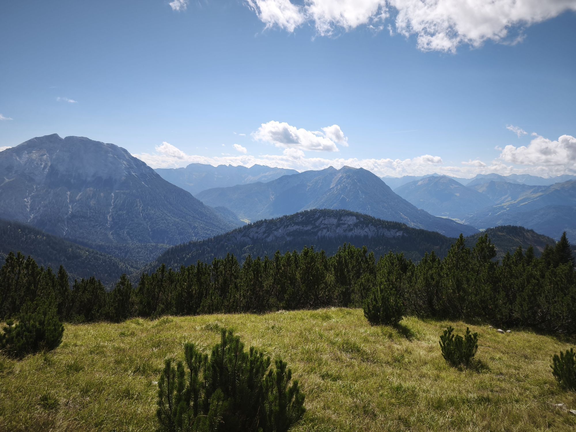
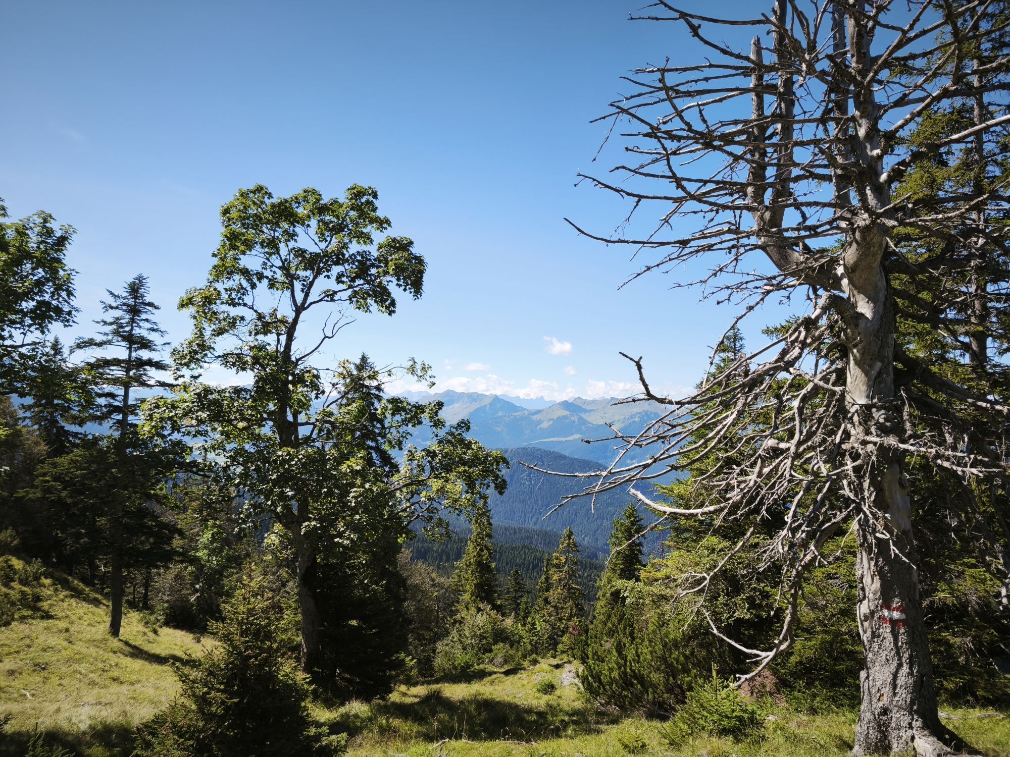
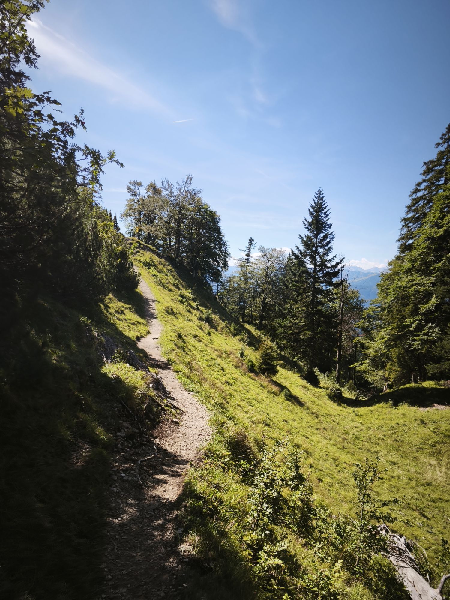
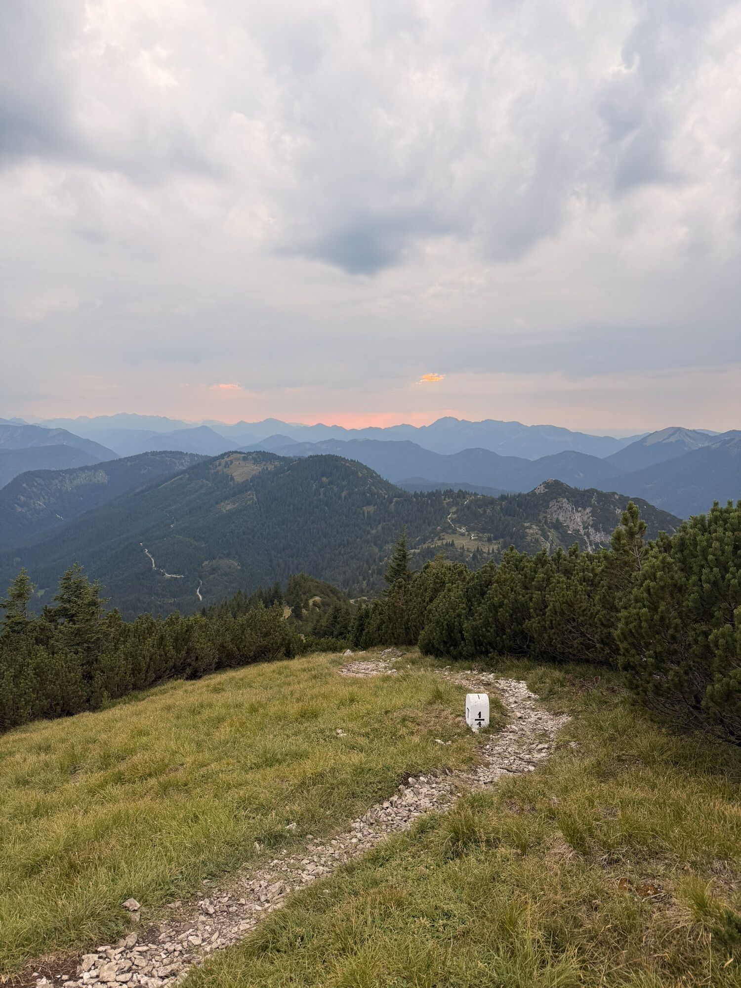
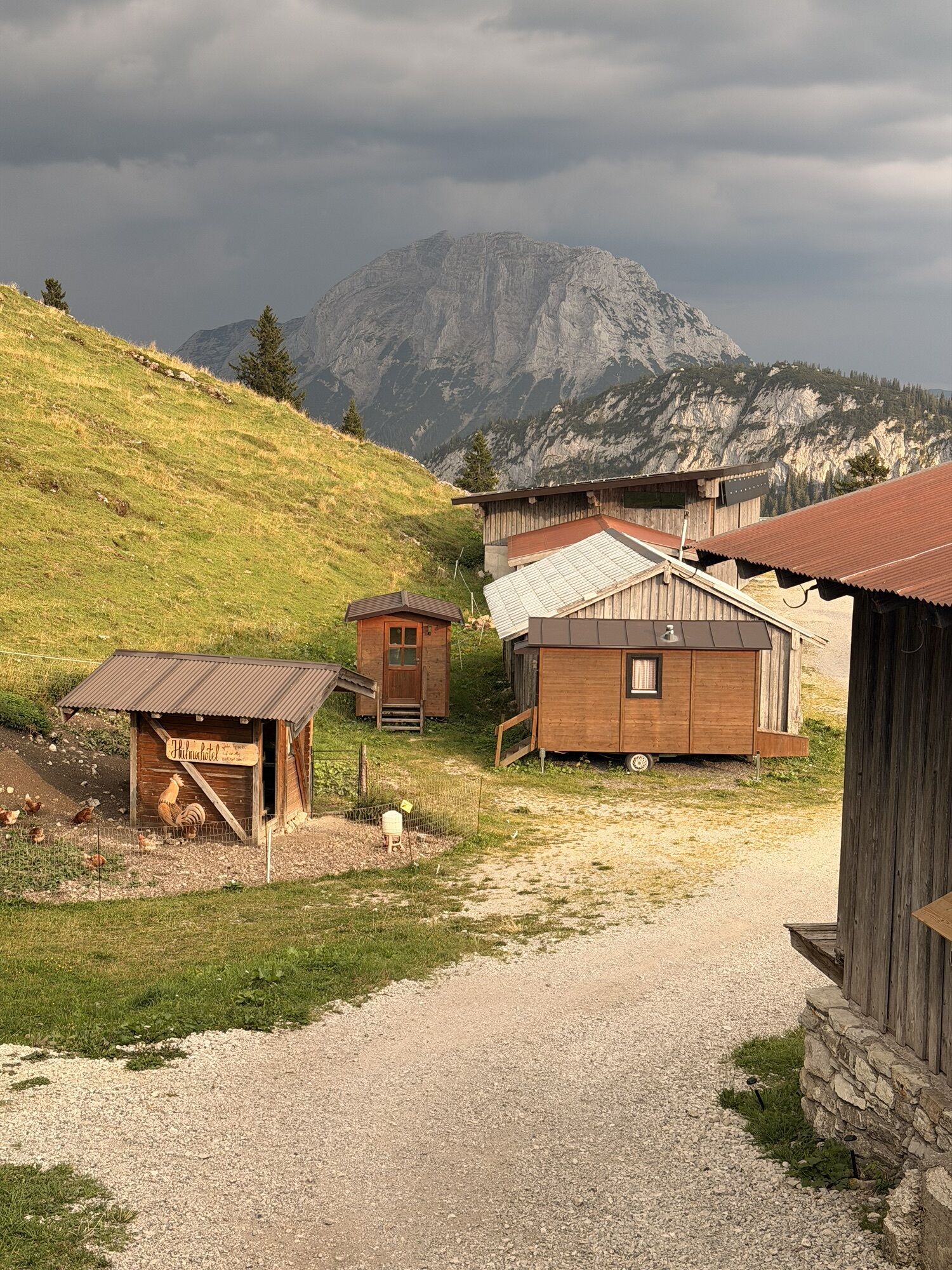
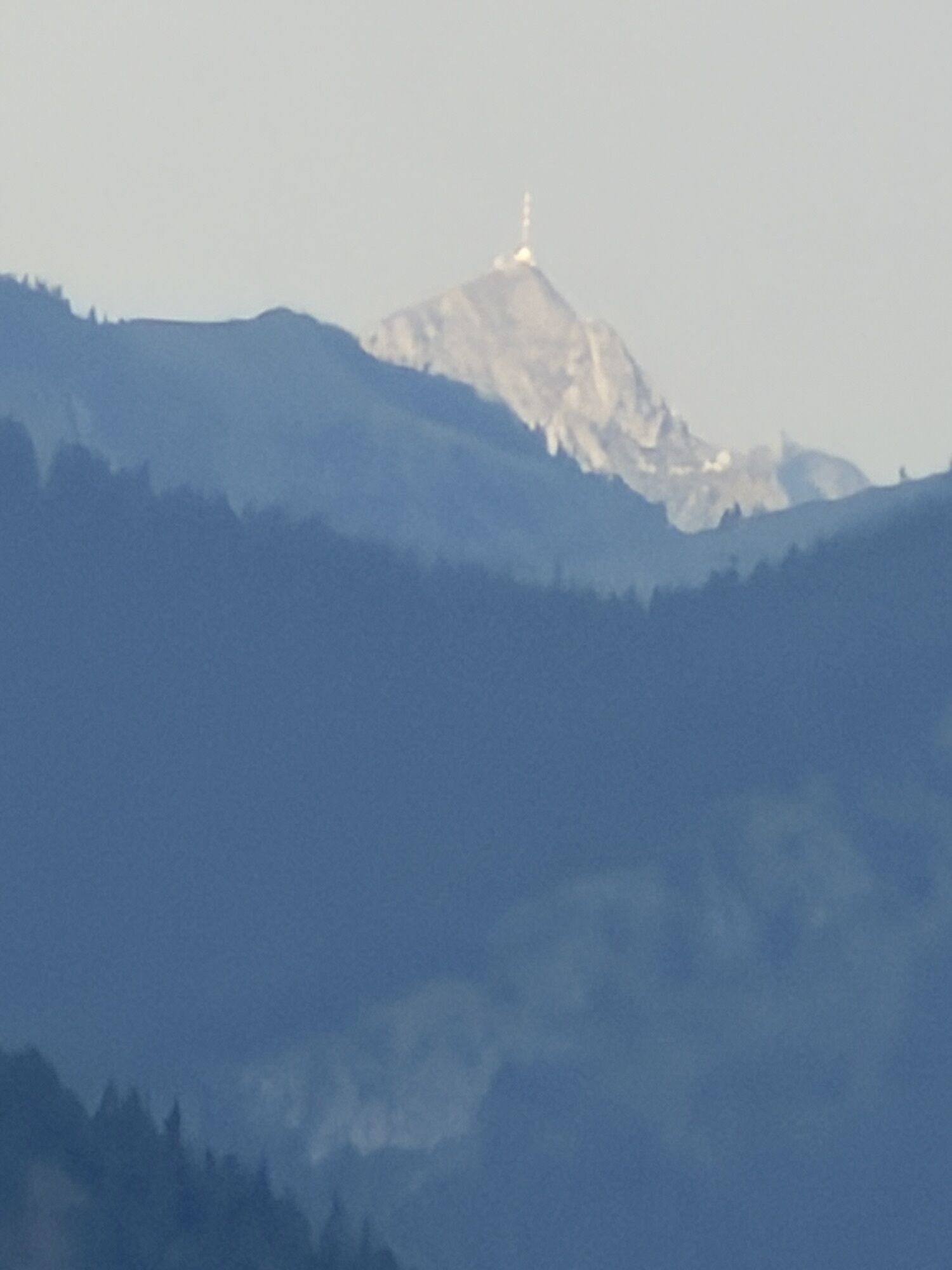
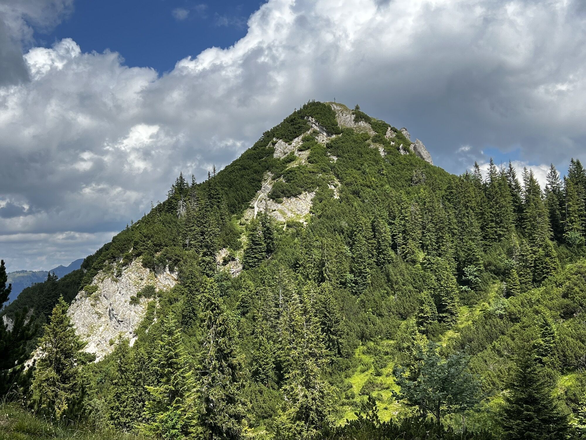
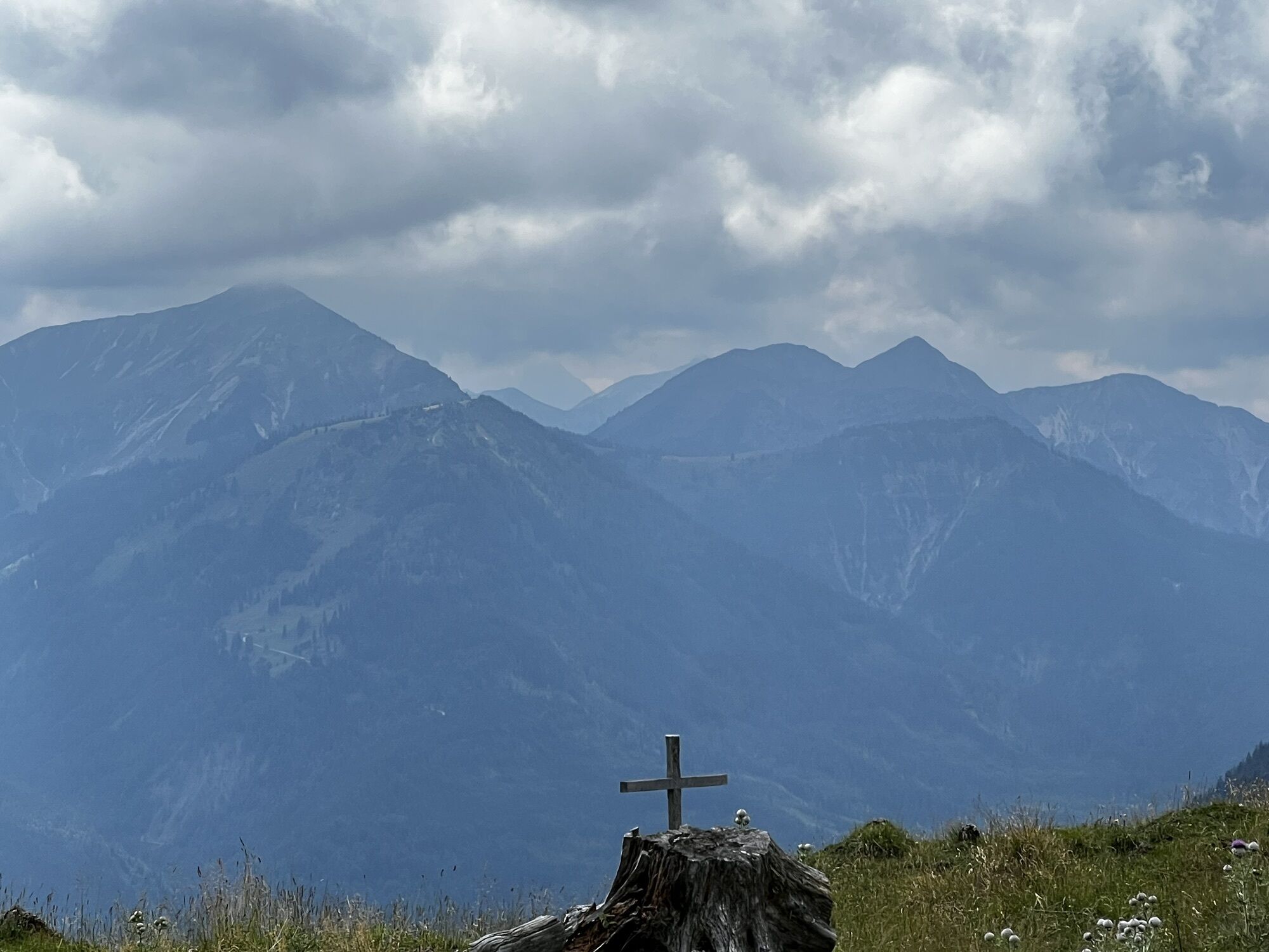
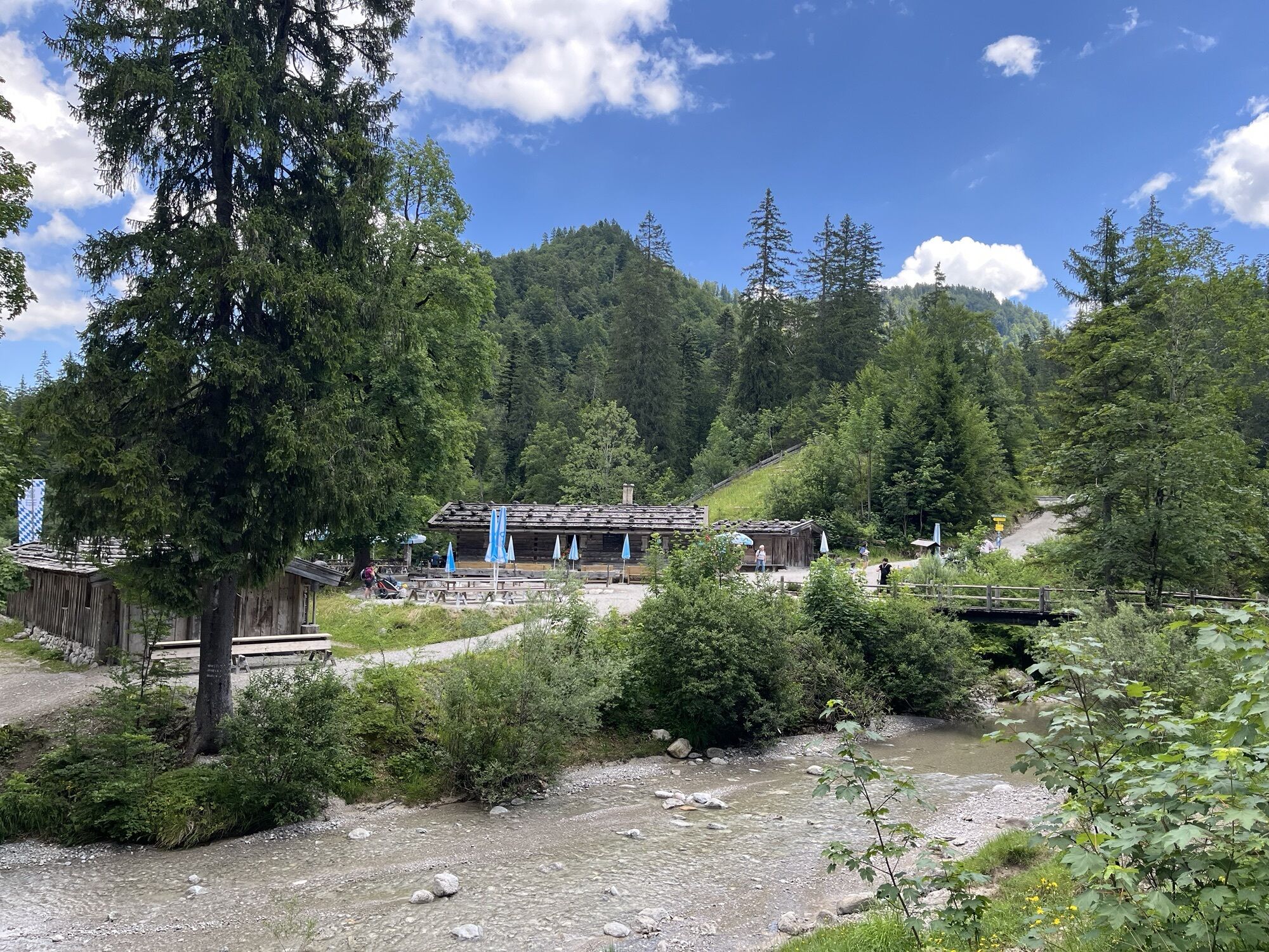
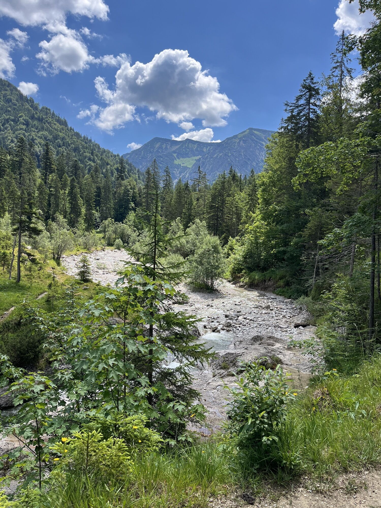
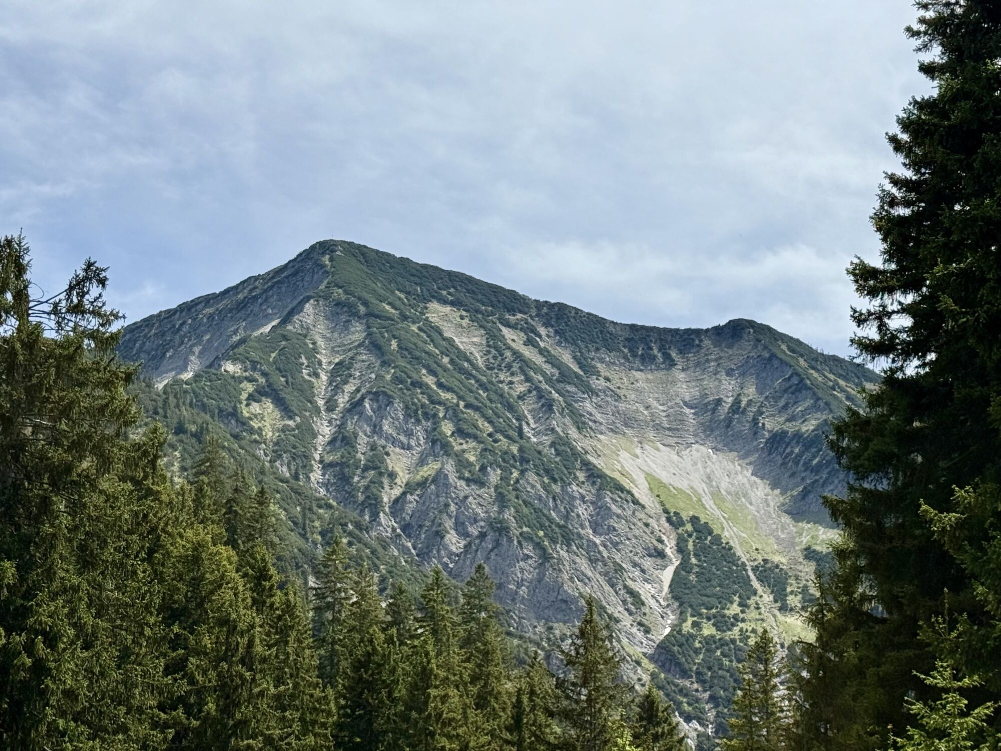
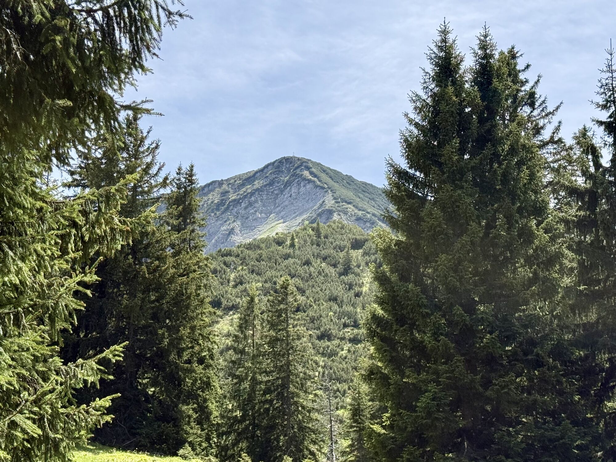
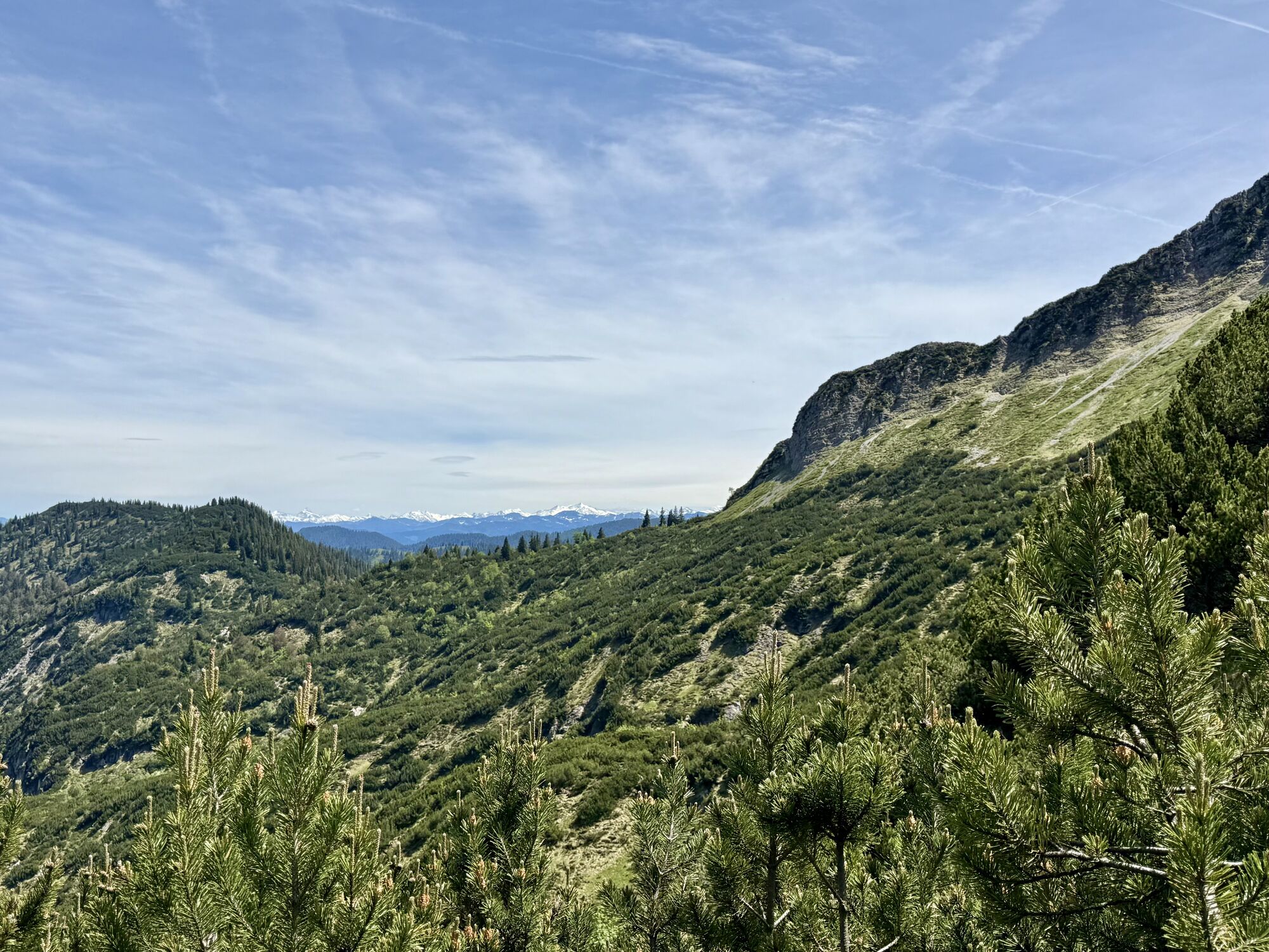
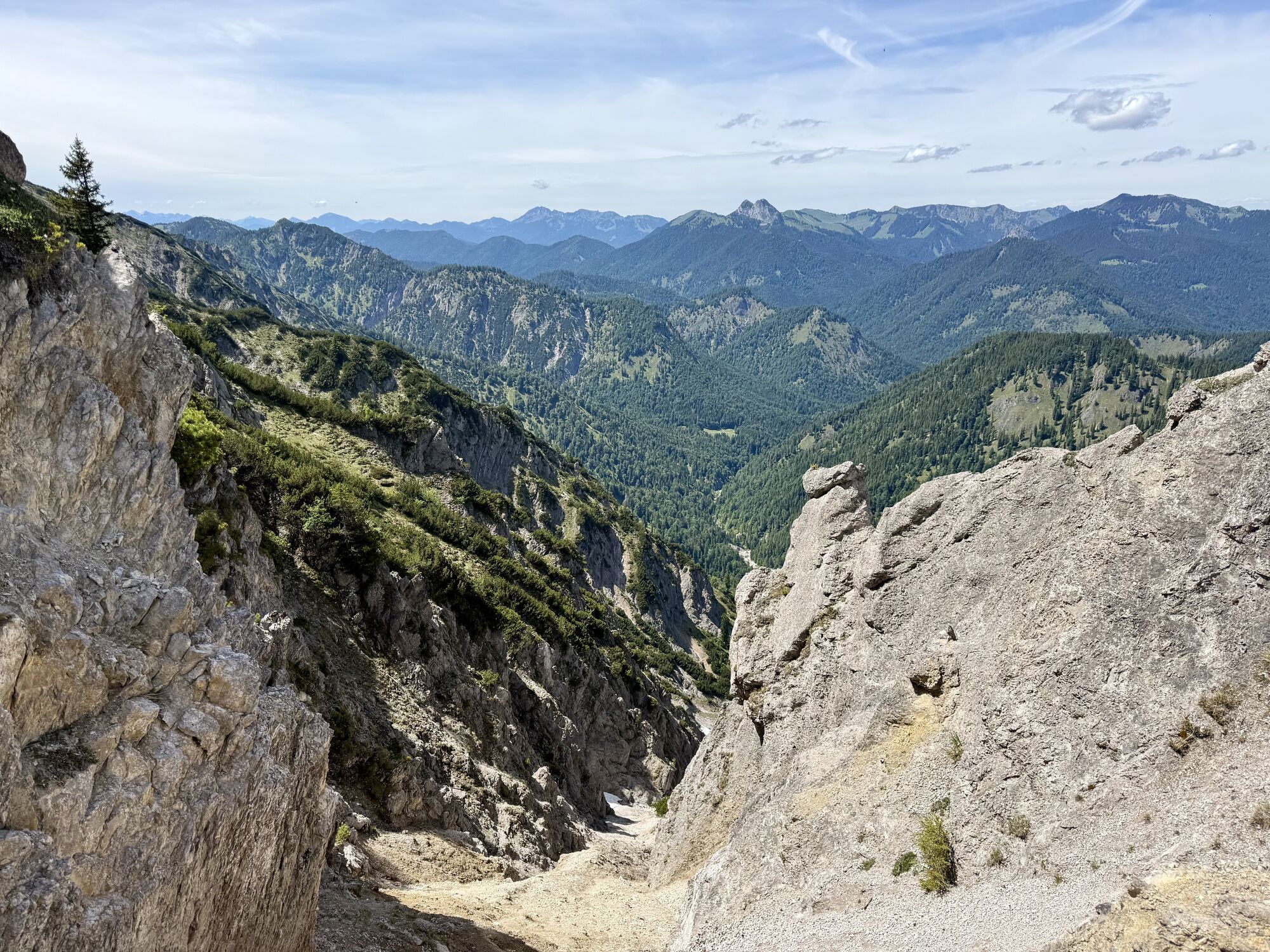
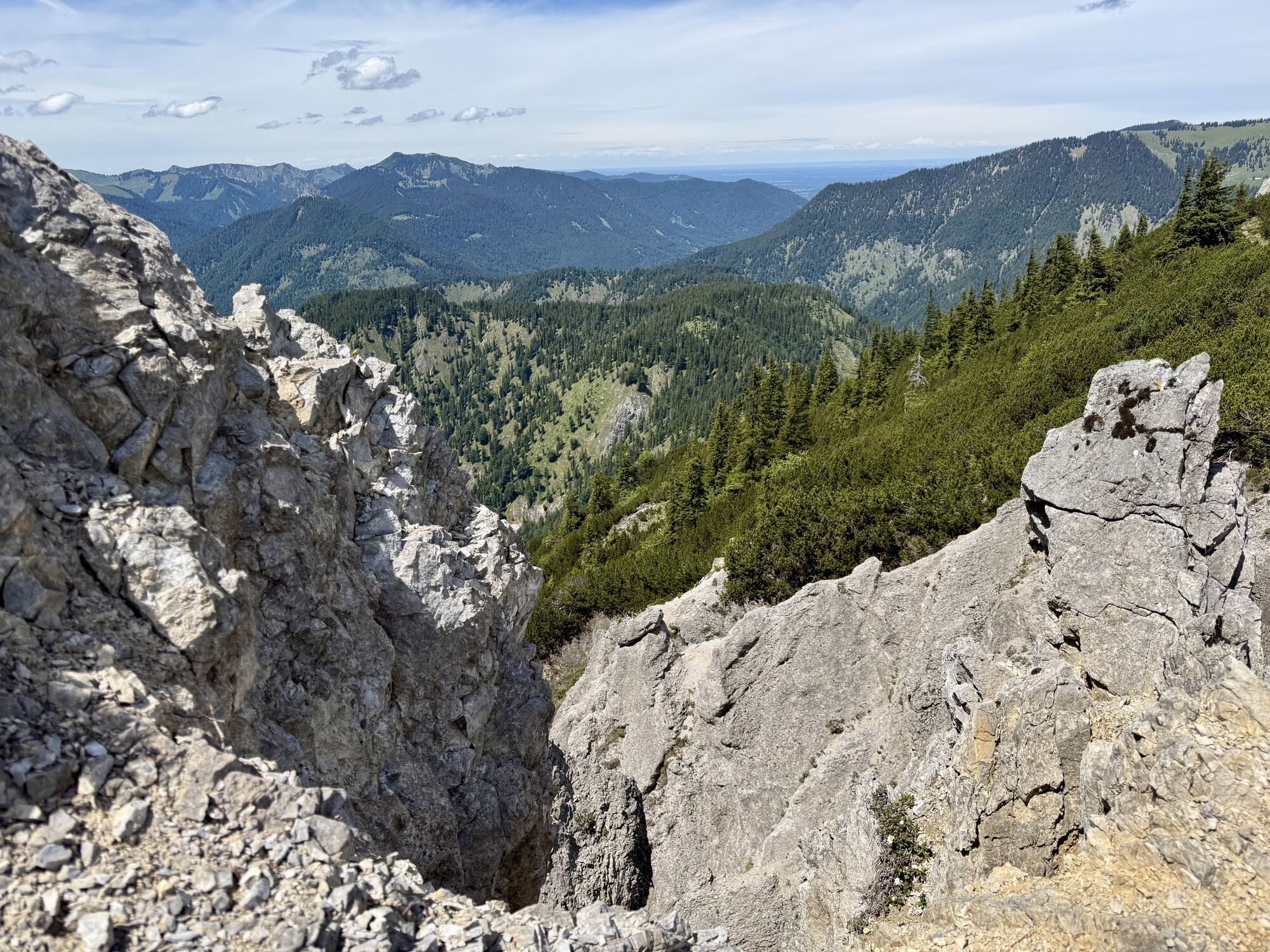
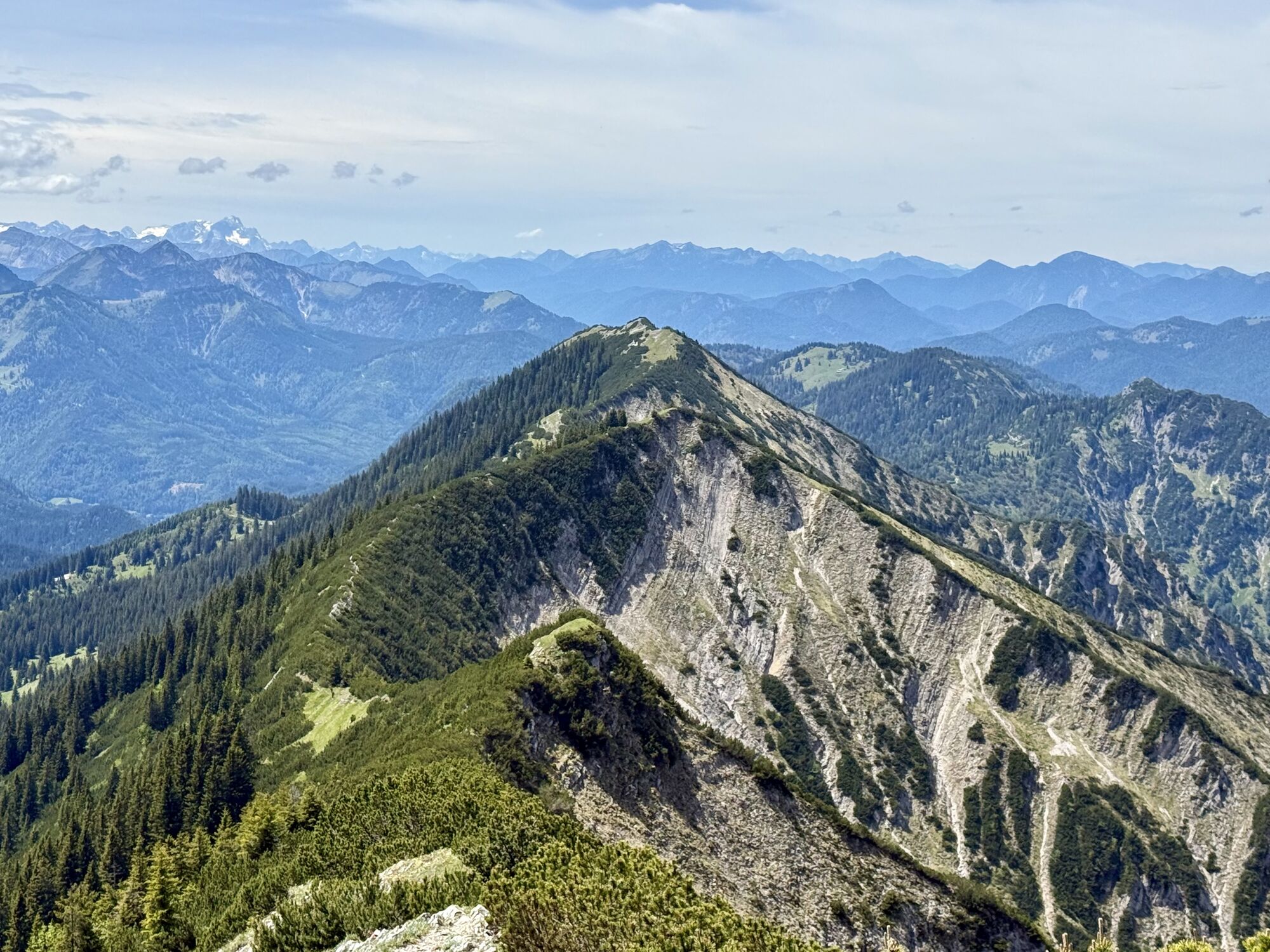
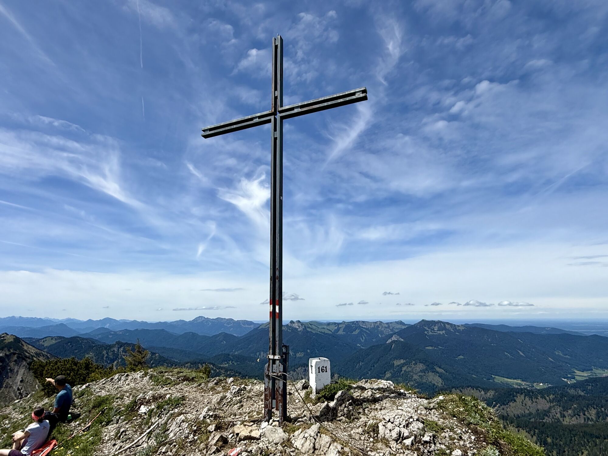
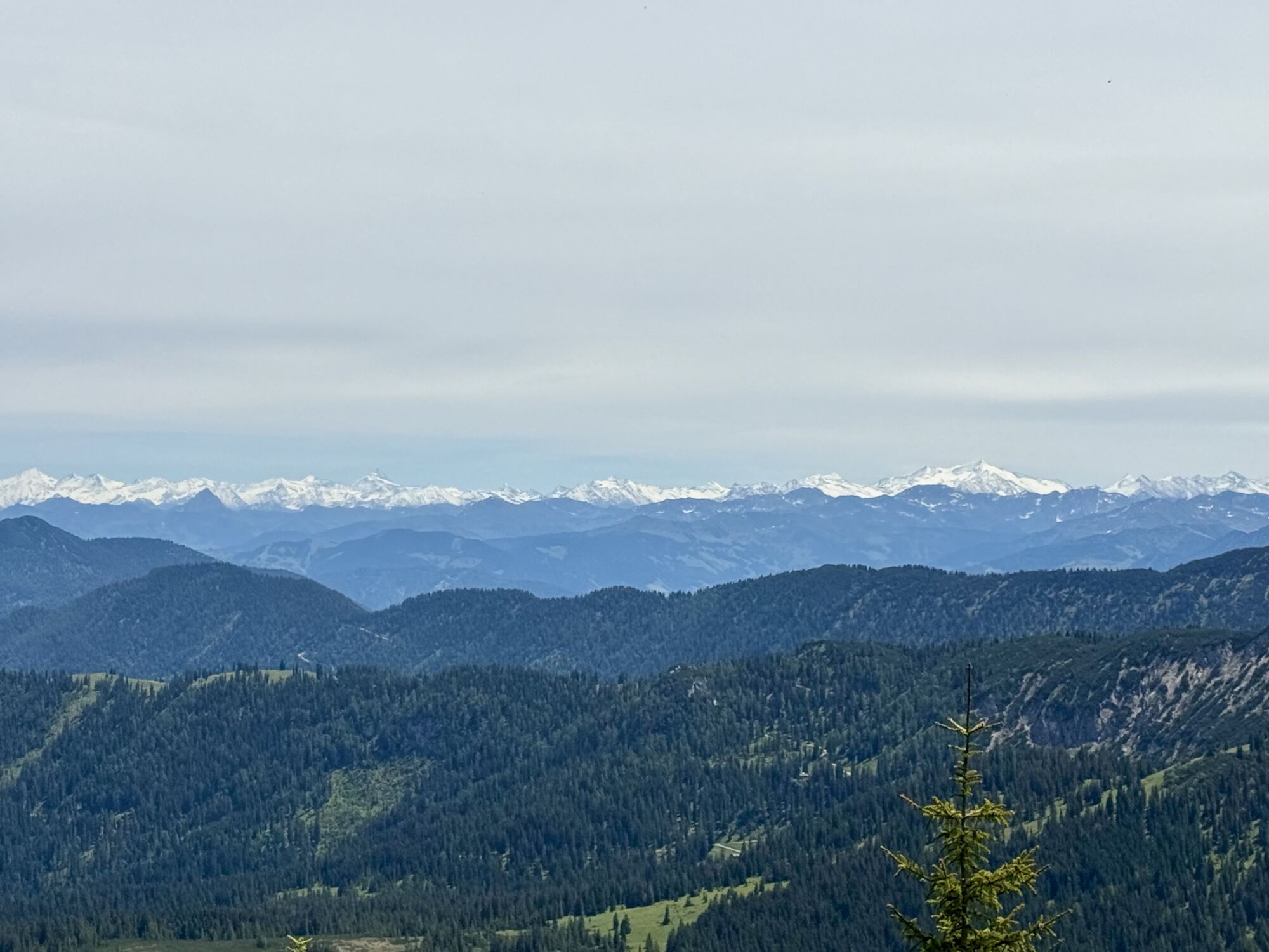
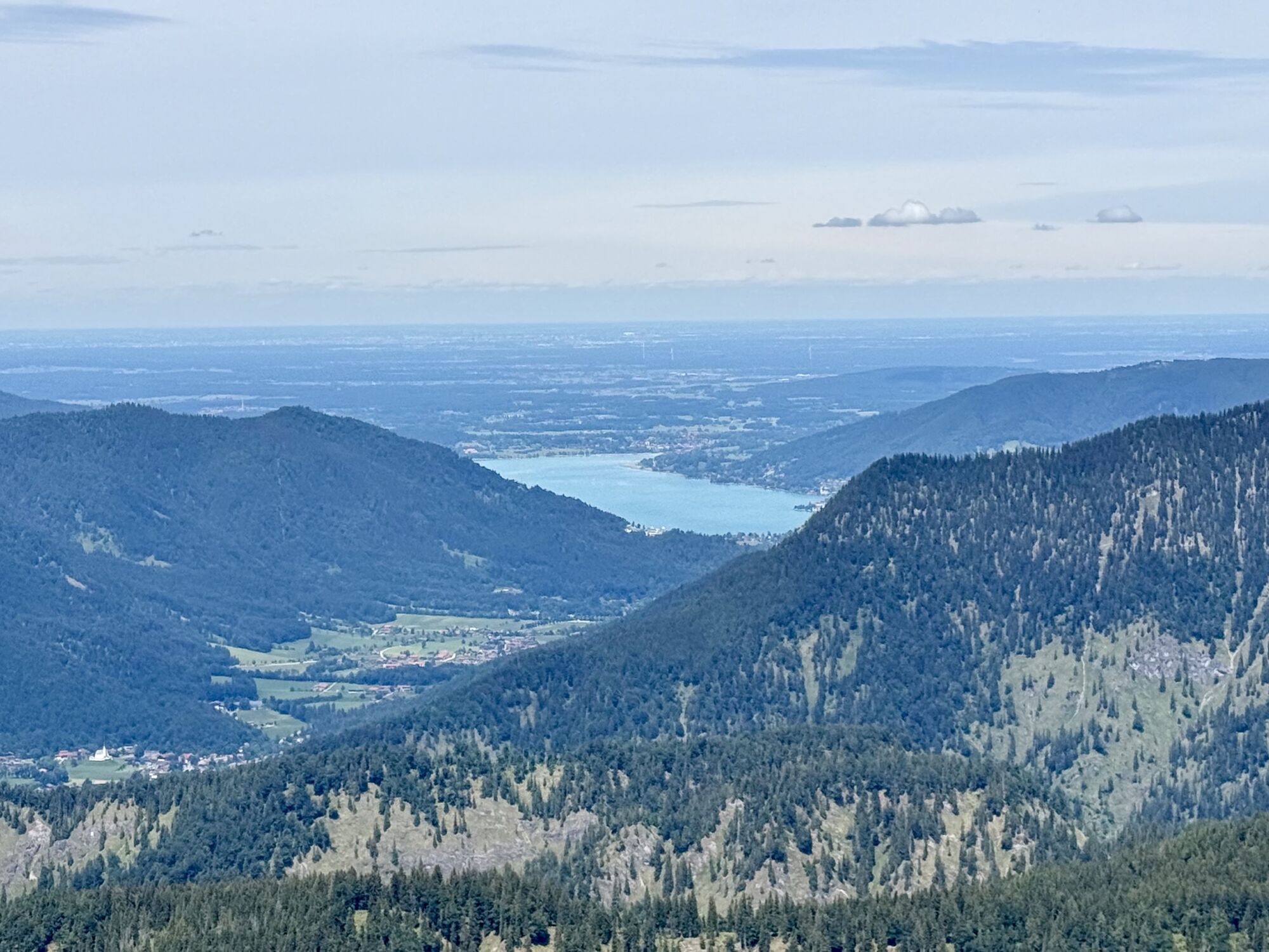
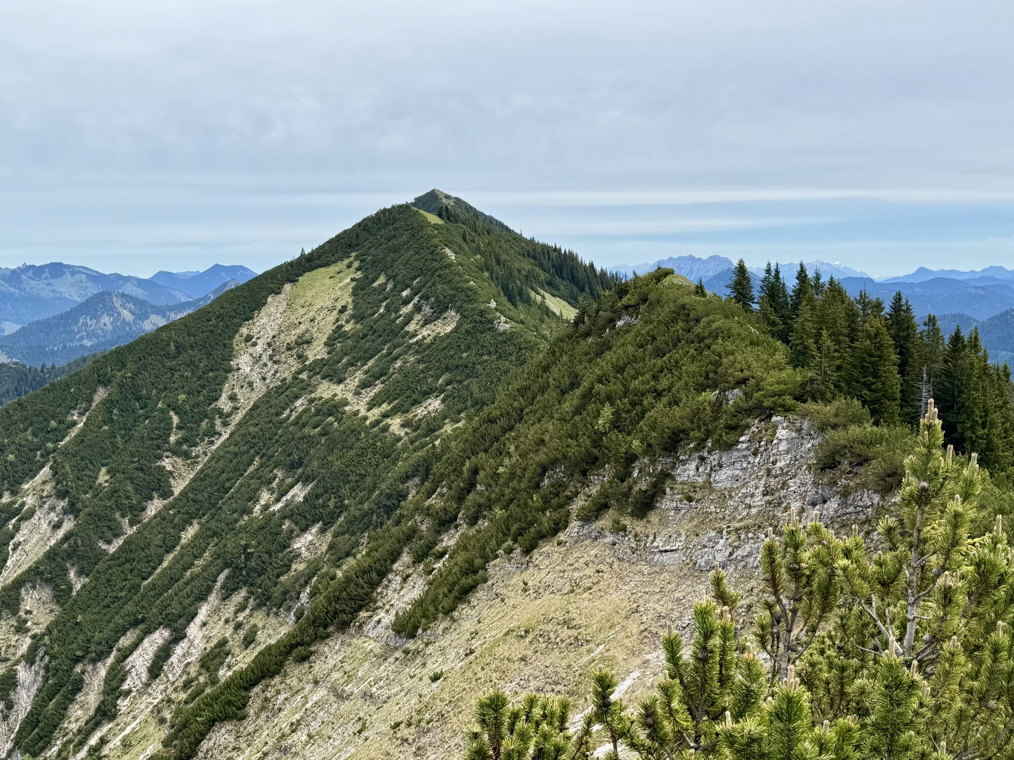
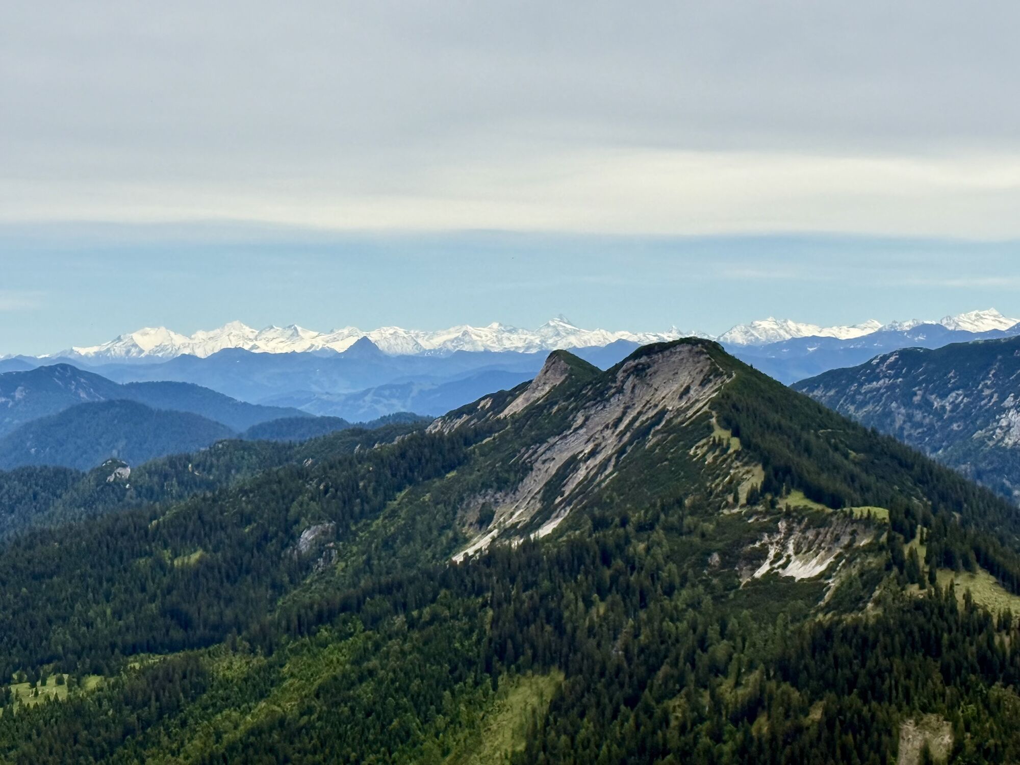
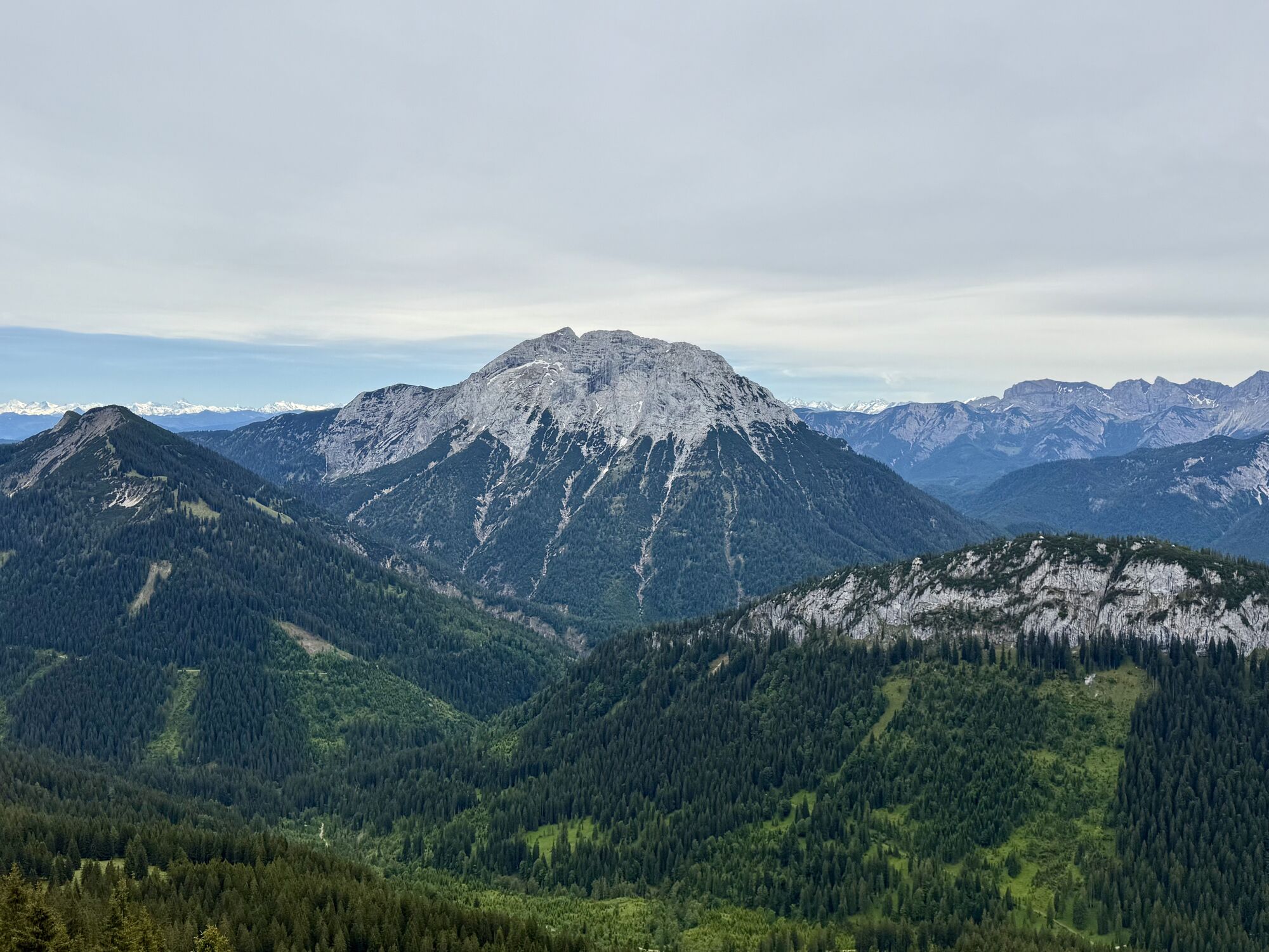
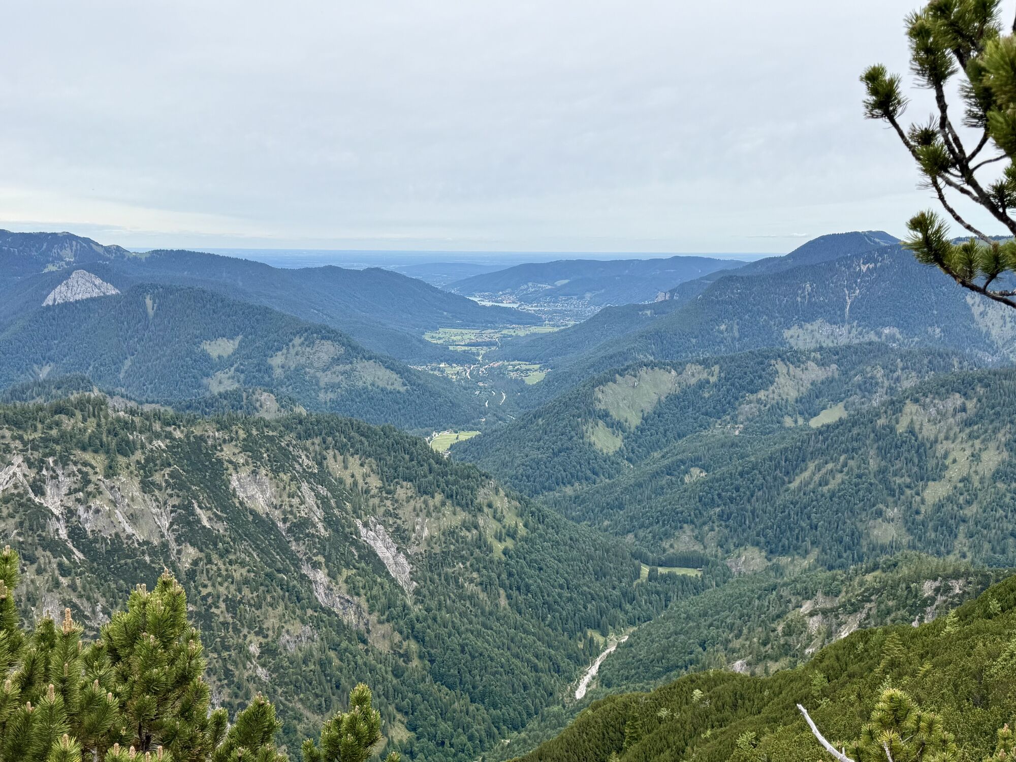
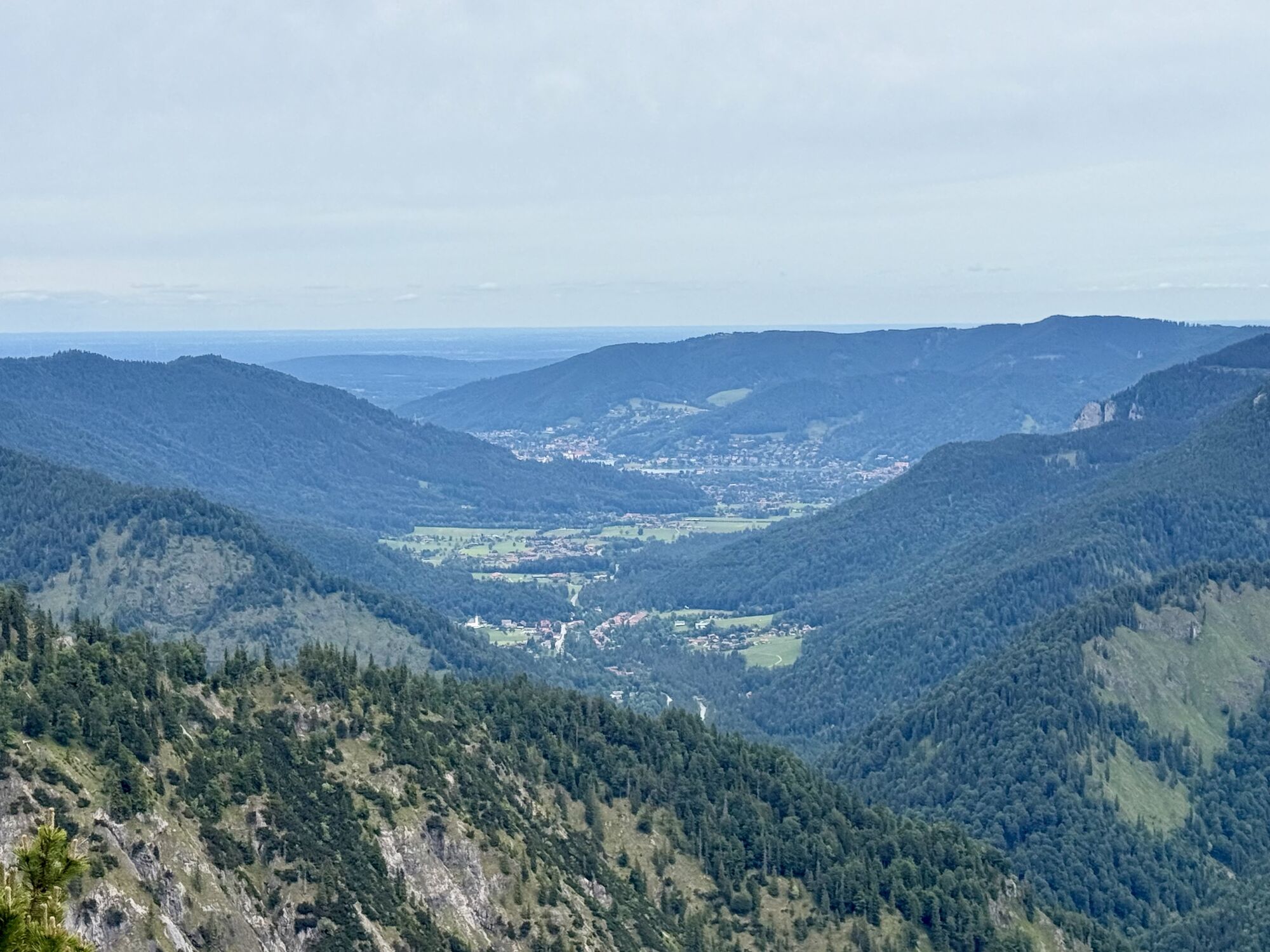
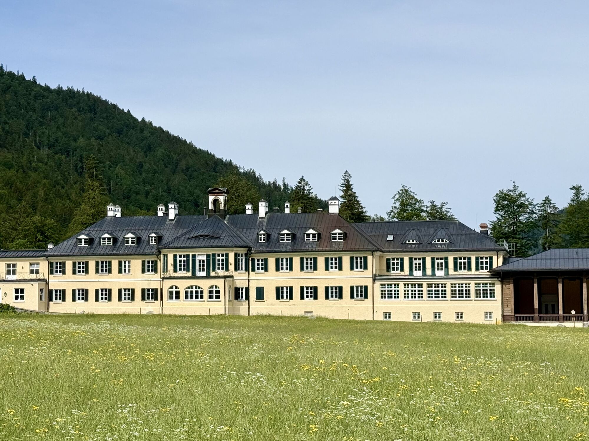
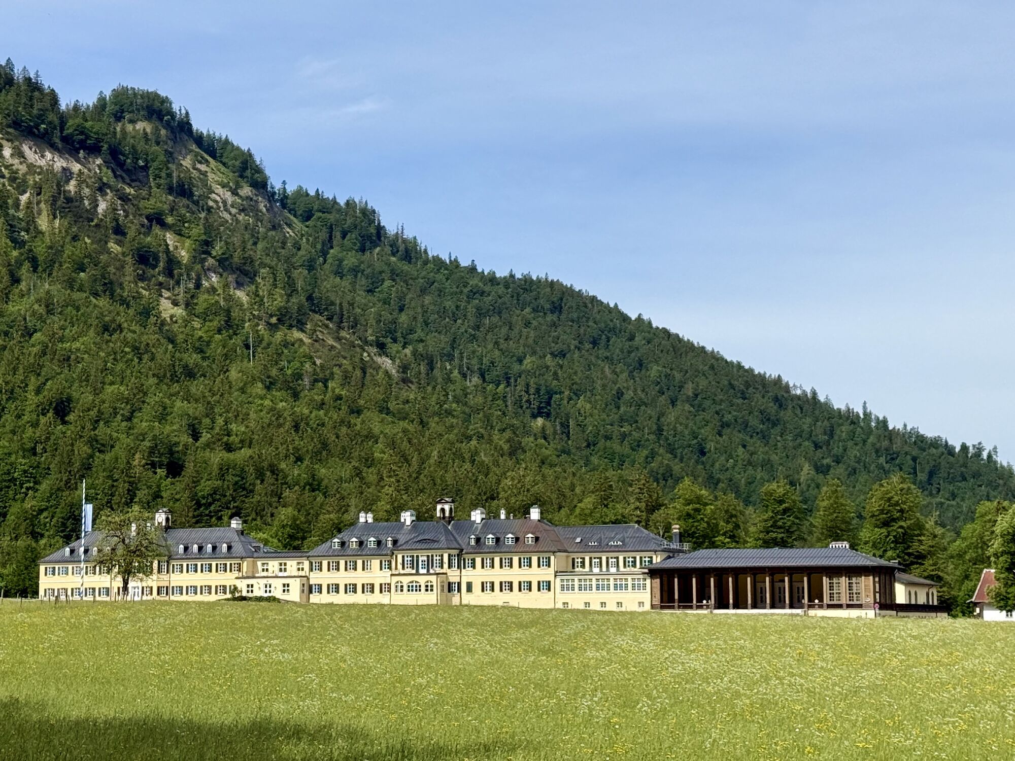
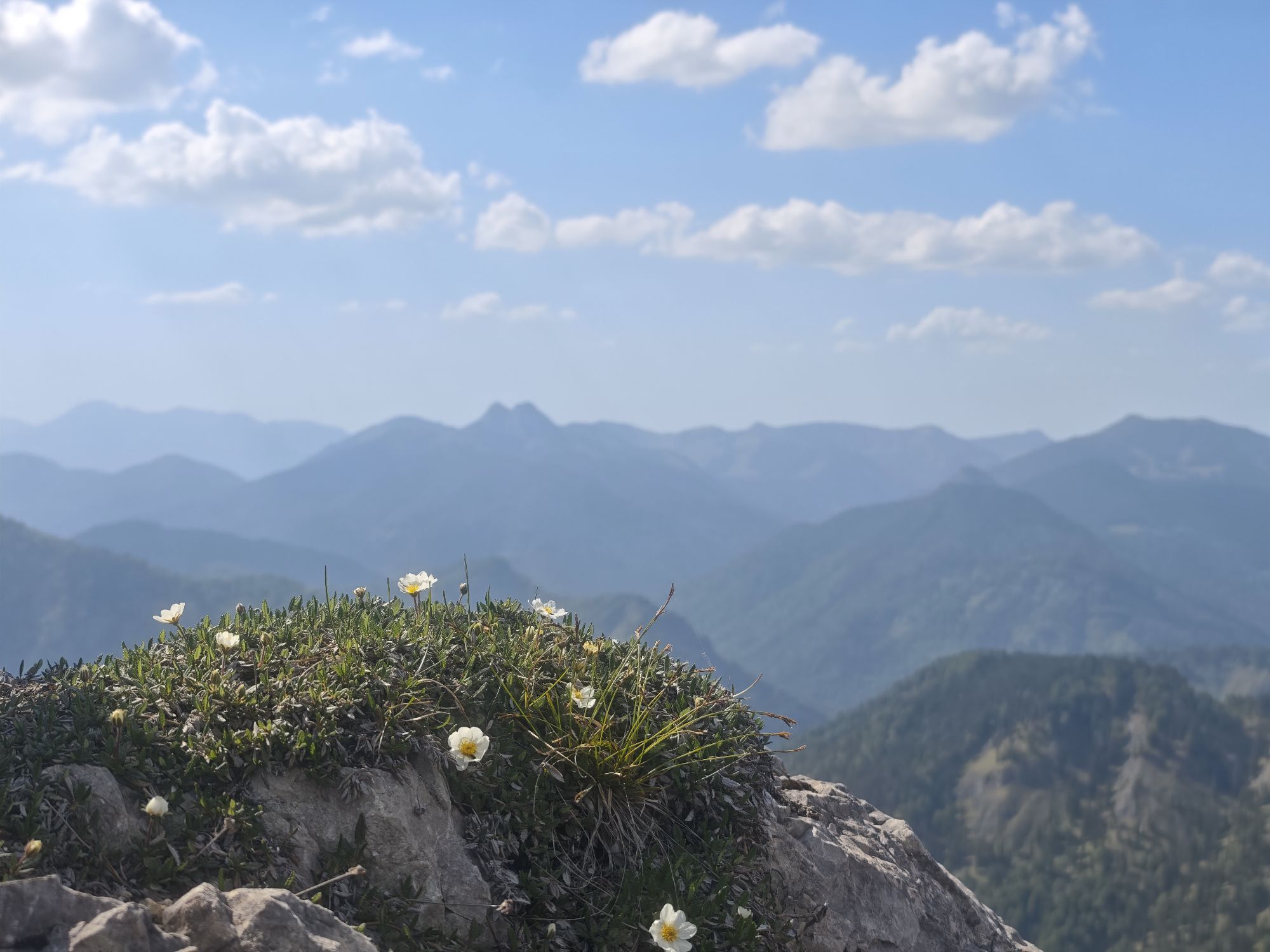
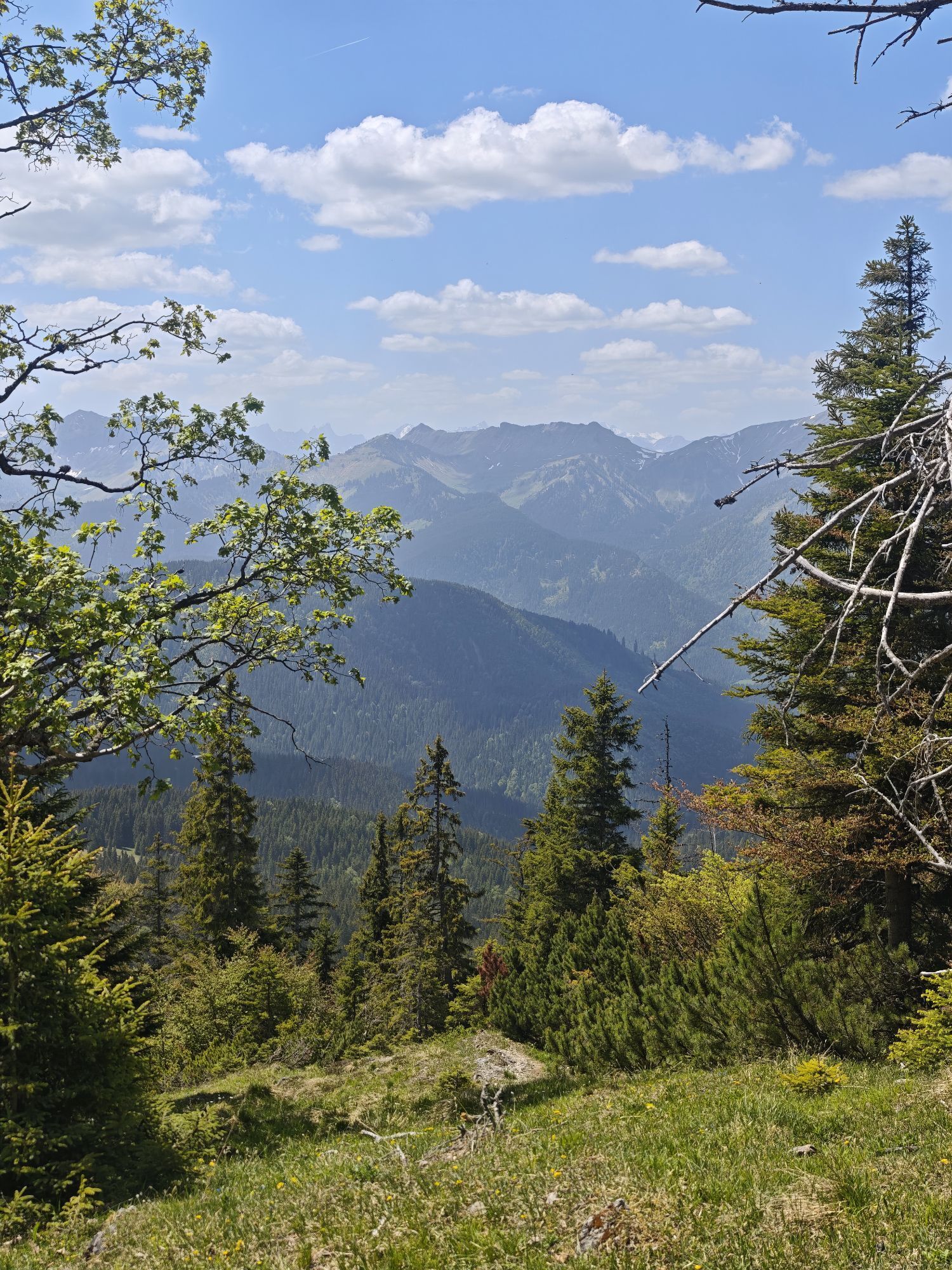
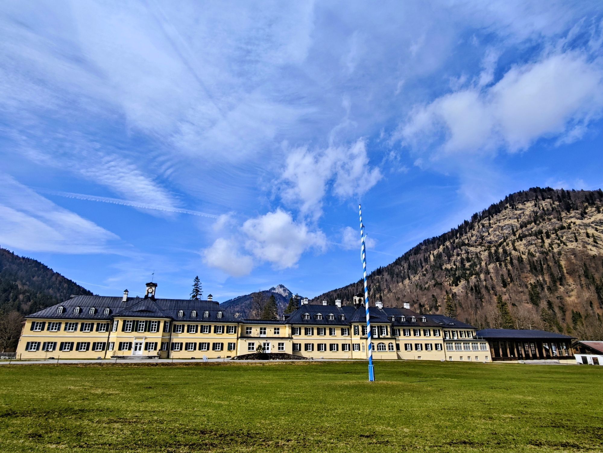
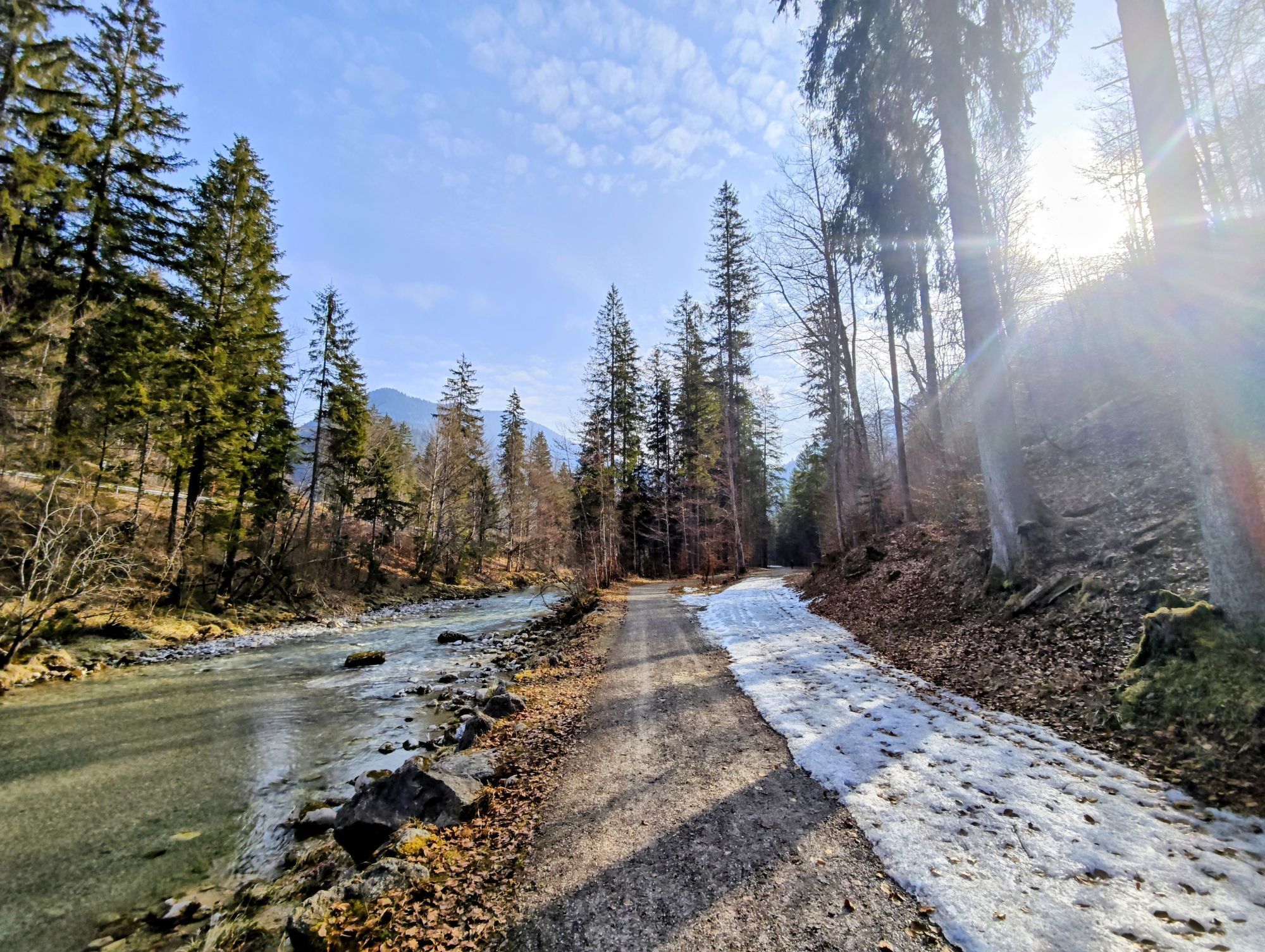
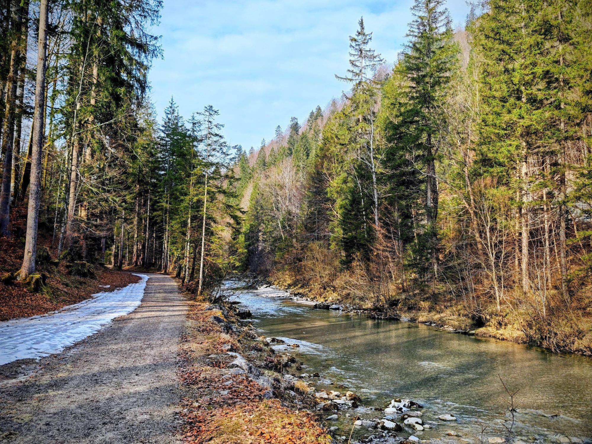
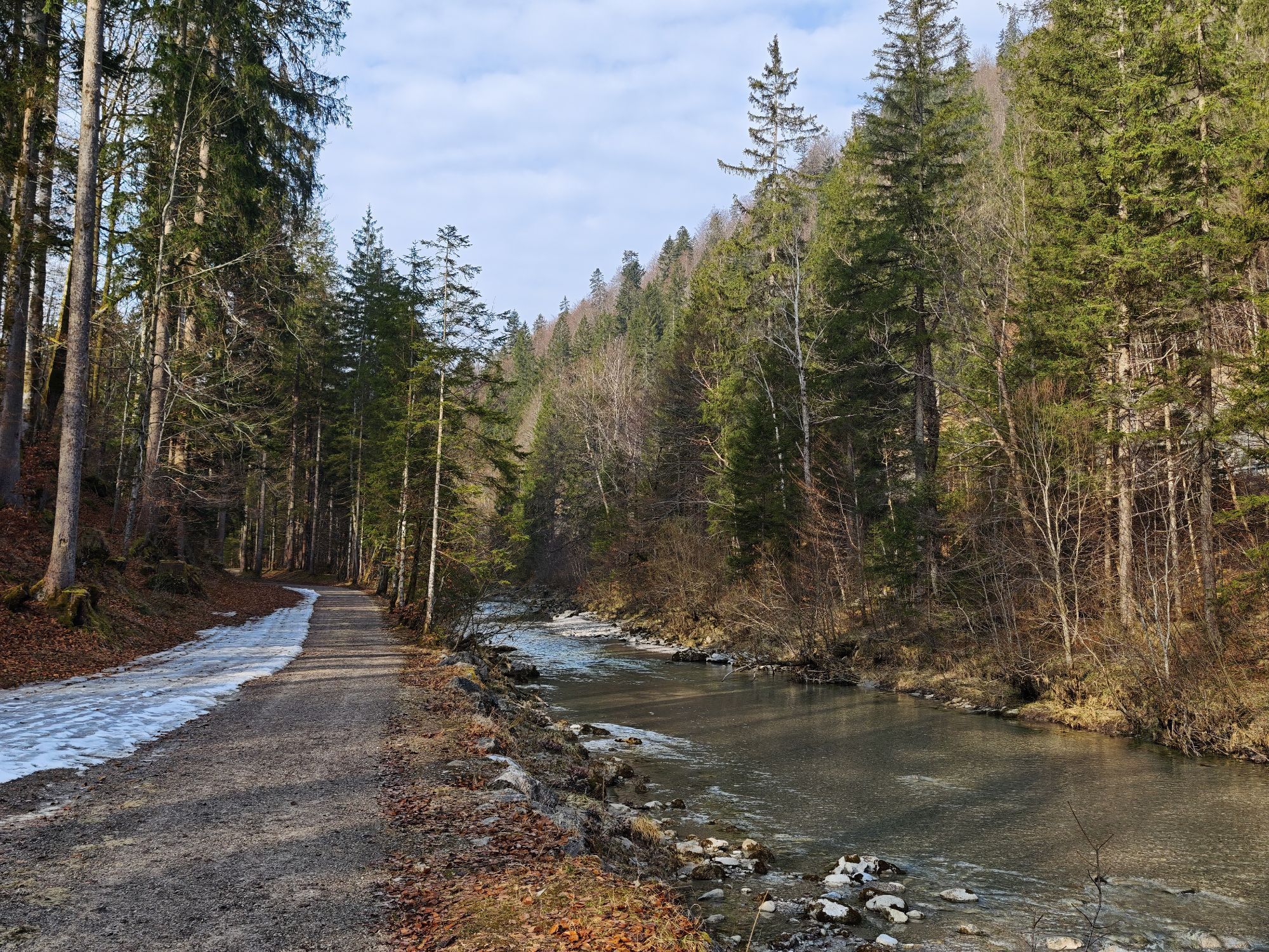
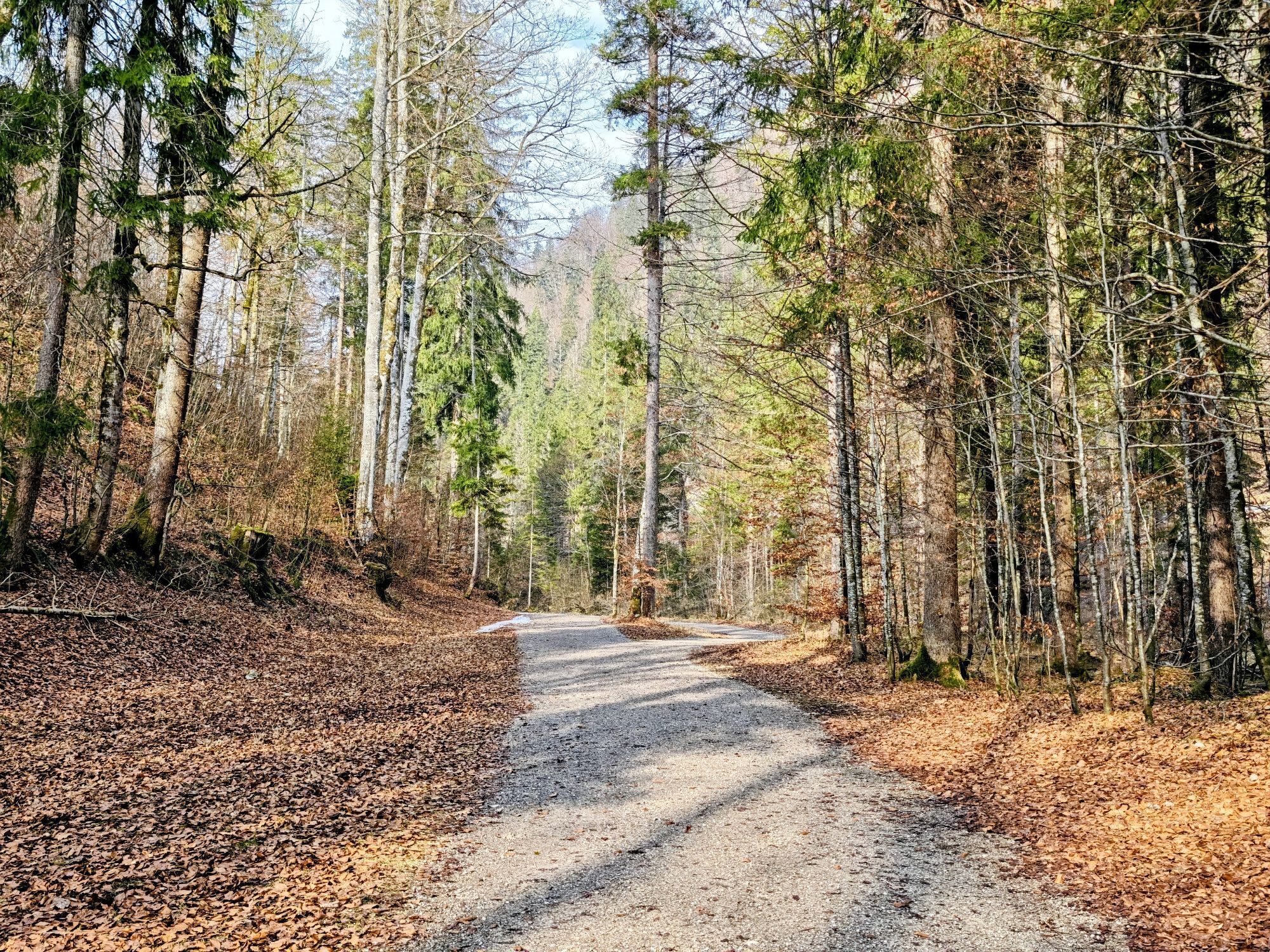
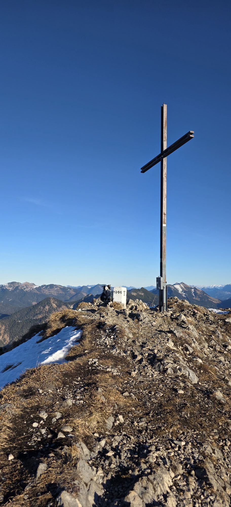
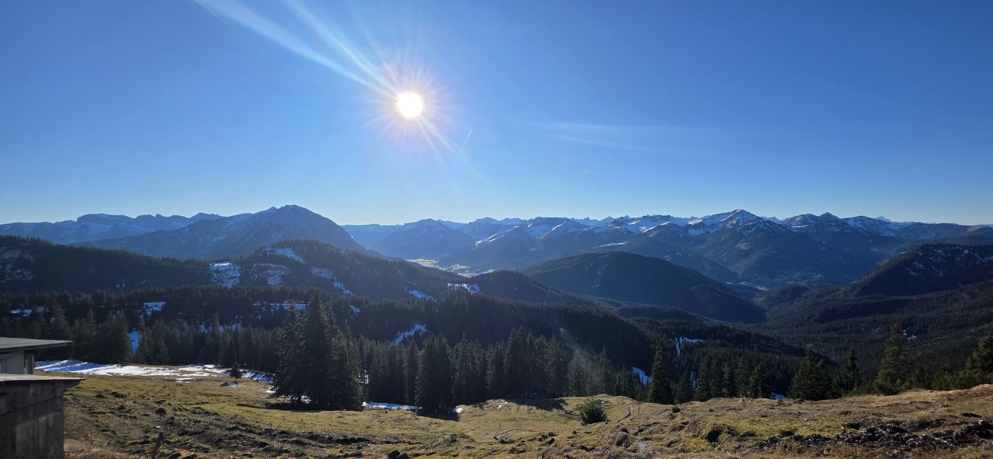
The route starts in Wildbad Kreuth. We first hike to Siebenhütten (trail 502). After the alpine farm, trail 615 turns left towards Hohlensteinalm. We continue over Weißenbachkopf to the former Stangenhäusl. From there, we go over the ridge, then keep right and follow the direct path to Halserspitz. We cross the north face (partly exposed and secured with a cable) and turn left to the summit (1862m). In spring, a snowfield often remains here for a long time, so bring crampons if needed. After the summit, the real highlight of the route begins. We stay on the ridge and hike past Karspitz, Blaubergkopf, and the entire Blauberg ridge to the west until reaching Blaubergalm. At this organic alpine farm, we refresh ourselves with cheese, sausage, bacon, and bread from their own production before leaving the ridge and descending again (trail 615). Past Schildenstein, the path leads down to Königsalm. We complete the remaining descent down to Wildbad Kreuth via Gaißalm.
This route requires very good fitness, experience in alpine terrain, absolute surefootedness, and a head for heights.
Tak
Sturdy footwear, possibly crampons in spring for the crossing below Halserspitz. Weather-appropriate clothing, possibly rain jacket, water bottle, first aid kit.
Danger of falling below Halserspitze on the way to the summit, this route is not passable in winter.
Even for experienced climbers with suitable equipment, Halserspitze is a very demanding and dangerous mountain tour as it is one of the highest peaks in the Tegernsee valley. Winter conditions often prevail there until late spring.
Please be sure to check the snow and avalanche conditions.
All information without guarantee. Hiking and climbing the described routes is at your own risk.
A8 to Holzkirchen exit, via B318 to Wildbad Kreuth
By MVV to Tegernsee, bus stop Wildbad Kreuth.
Wildbad Kreuth parking lot (paid) with toilet and electric car charging station.




Popularne wycieczki w okolicy
-
4,8
Bergstation Rofan Seilbahn - Hochiss - Dalfaz Alm (Enzianweg) - Bergstation Rofan Seilbahn
średniWędrówka 8,03 km -
4,7
Königsalm
średniWędrówka 10,0 km -
4,7
Alpbach valley and Neureuth
średniWędrówka 12,9 km -
4,6
Summit route to the Wallberg
średniWędrówka 12,2 km -
4,6
Roß- and Buchstein, Tegernsee Hut
ciężkiWędrówka 14,4 km -
4,4
Achenkirch - Zöhreralm - Adlerhorst - Achenkirch
światłoWędrówka 7,70 km -
4,8
Leonhardstein
średniWędrówka 8,17 km -
4,8
Lengrieser Hütte
średniWędrówka 10,6 km -
4,8
Hochiss und Gschöllkopf mit Rofanbahn
średniWędrówka 6,40 km -
4,7
Achensee-Umrundung
średniWędrówka 23,3 km
Wędrówki i tropienie


Nie przegap ofert i inspiracji na następne wakacje
Twój adres e-mail została dodana do listy mailingowej.





