







Leonhardstein

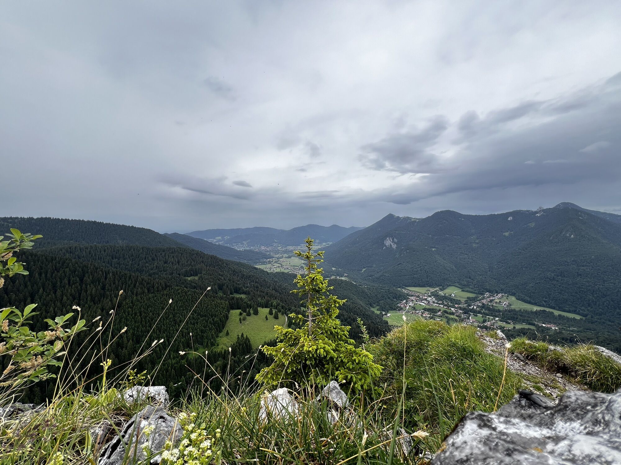
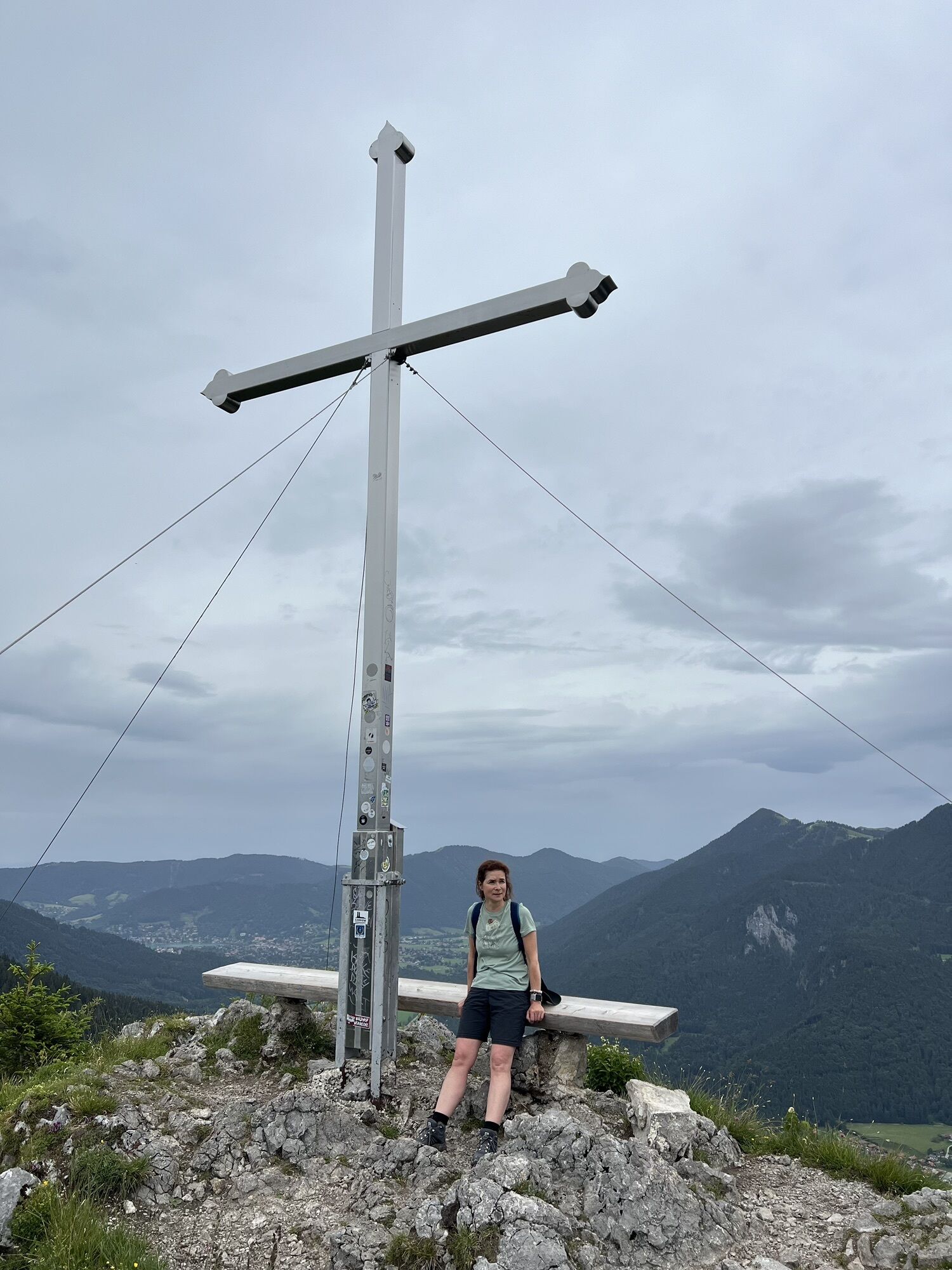
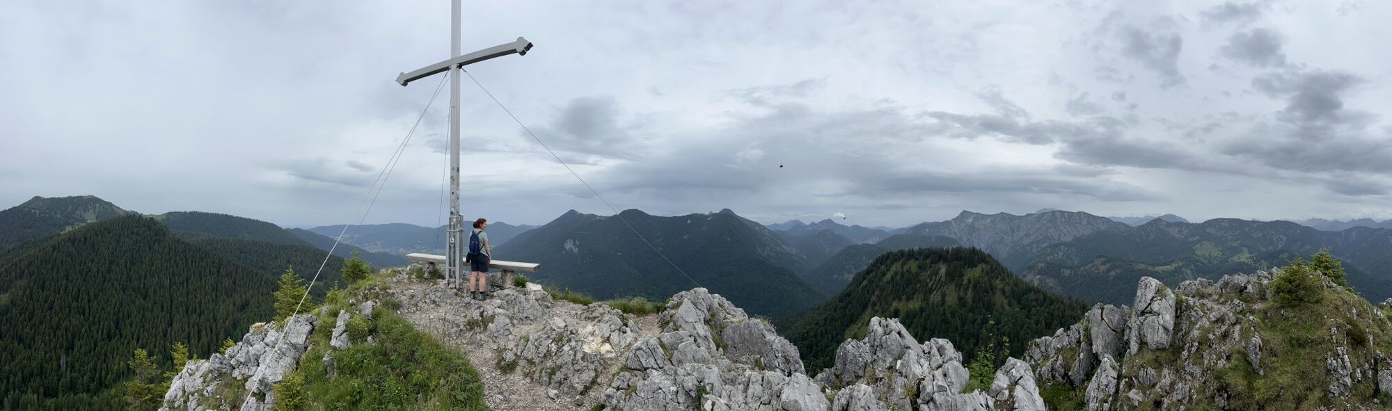
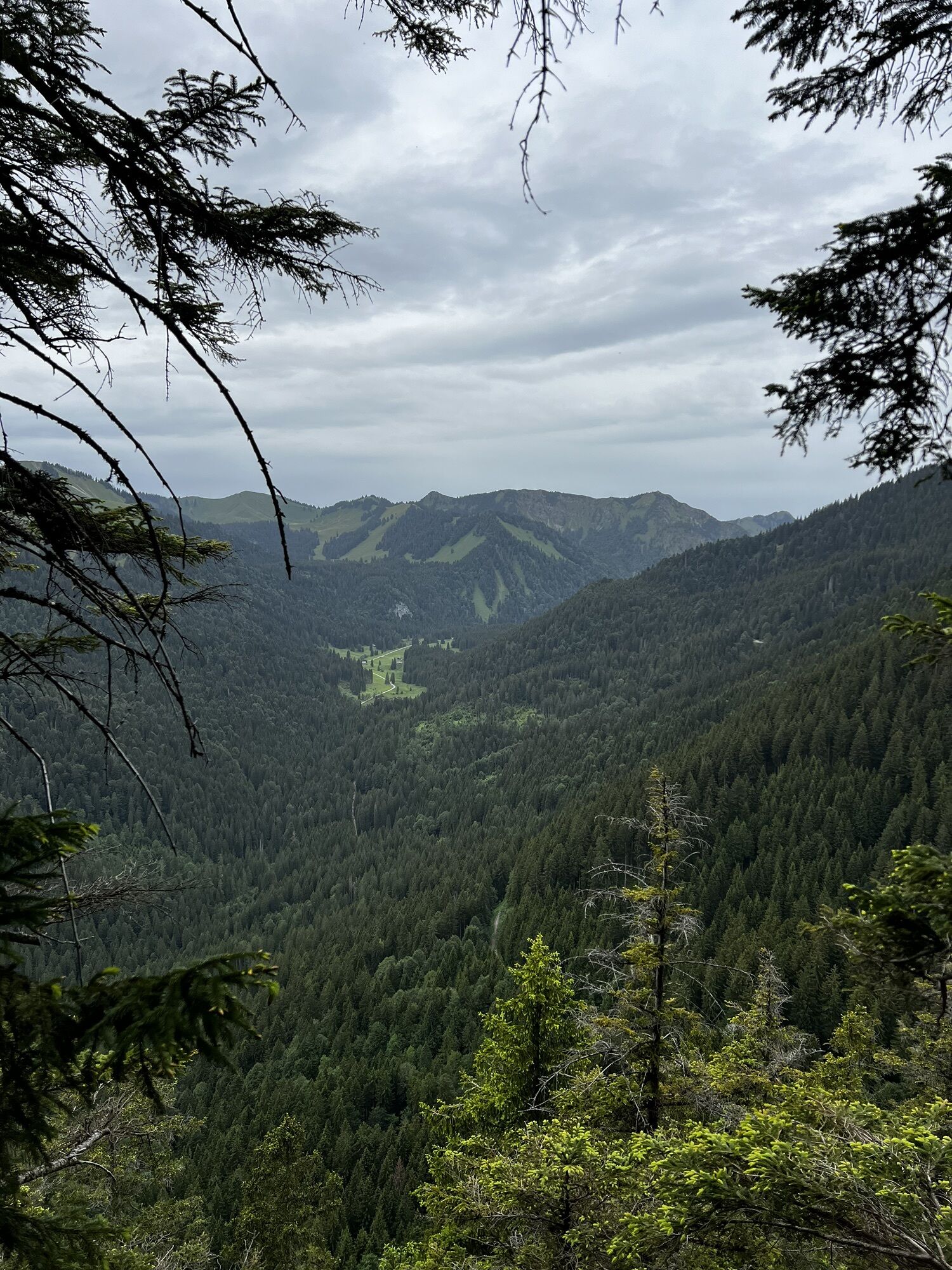





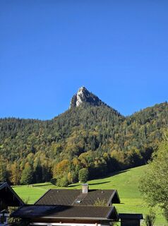
Just over 100 years ago, the poacher Lampl from Reichersbeuern, whose real name was Hans Burger, set an unparalleled record at Leonhardstein after illegally shooting a chamois. With a spectacular jump...
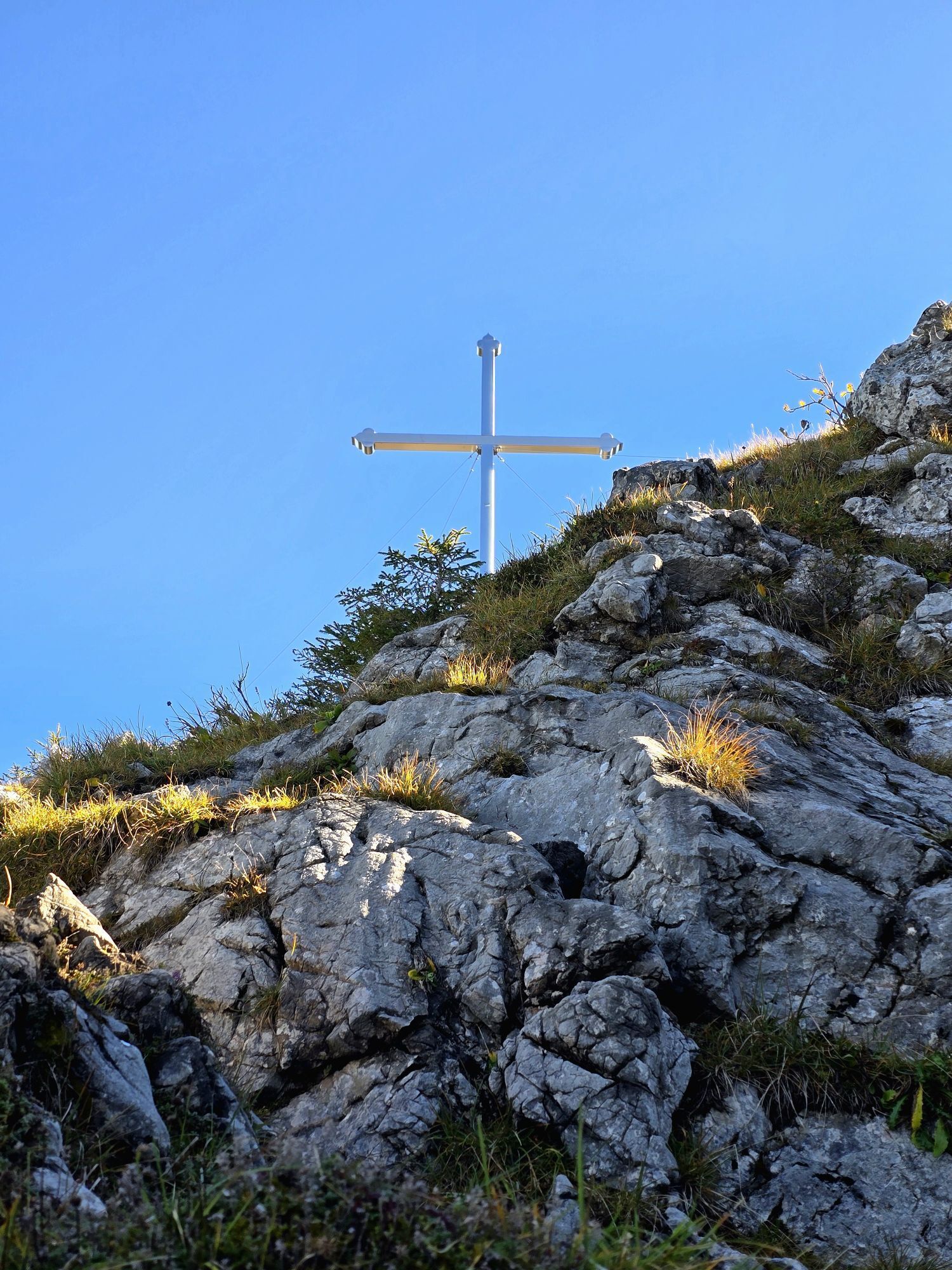
Just over 100 years ago, the poacher Lampl from Reichersbeuern, whose real name was Hans Burger, set an unparalleled record at Leonhardstein after illegally shooting a chamois. With a spectacular jump from the summit rock, the impact of which was cushioned by a spruce, Lampl escaped his pursuers, the royal hunters, and ran the 25-kilometer journey home through the mountains in only 90 minutes. The prosecutors were at a loss for evidence, as the waitress of the Reichersbeuern inn testified that the alleged poacher asked her the time upon his arrival, which she remembered exactly. The court ordered a top runner to verify the time: the professional took hours longer! Yet no one secretly doubted that Lampl was that poacher on Leonhardstein.

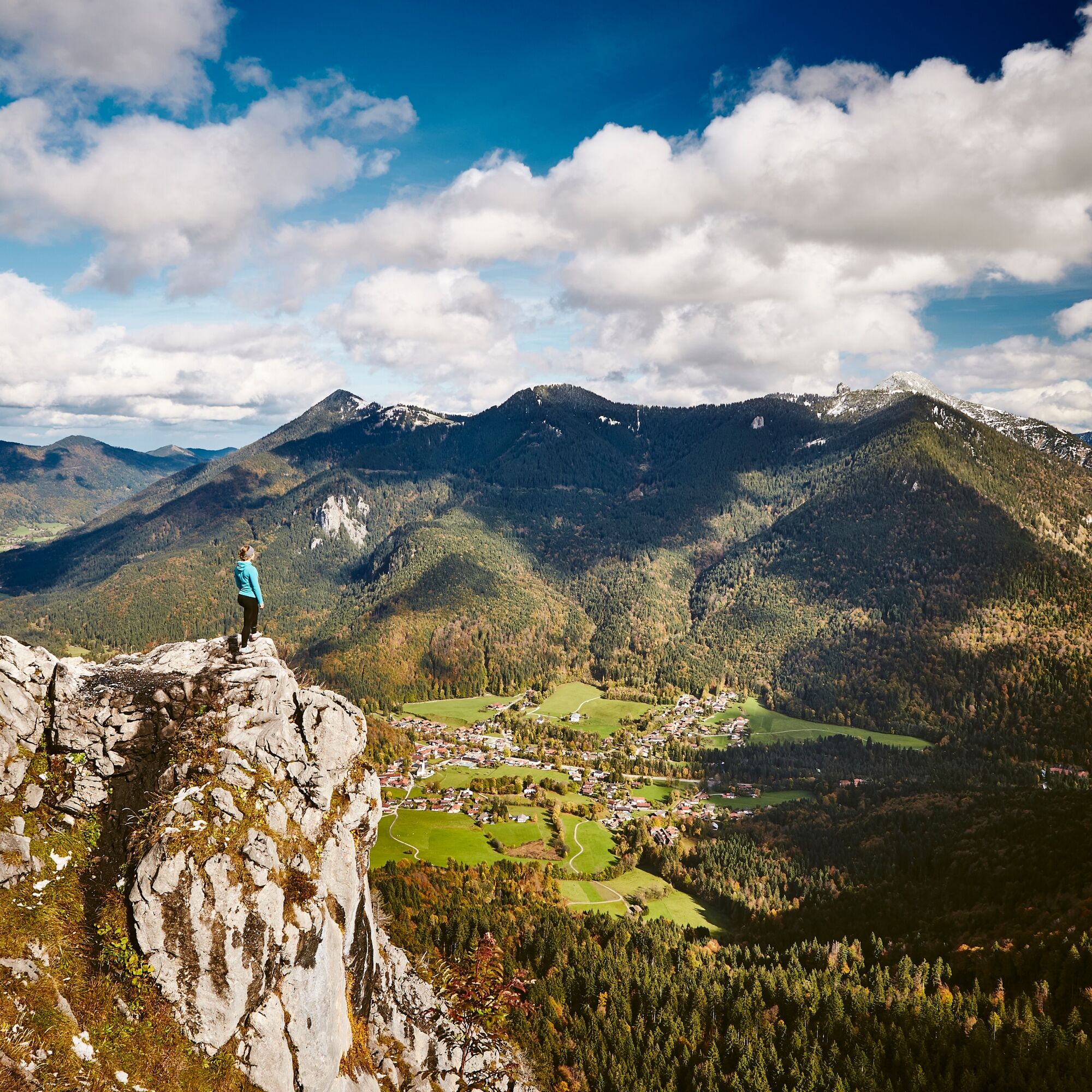
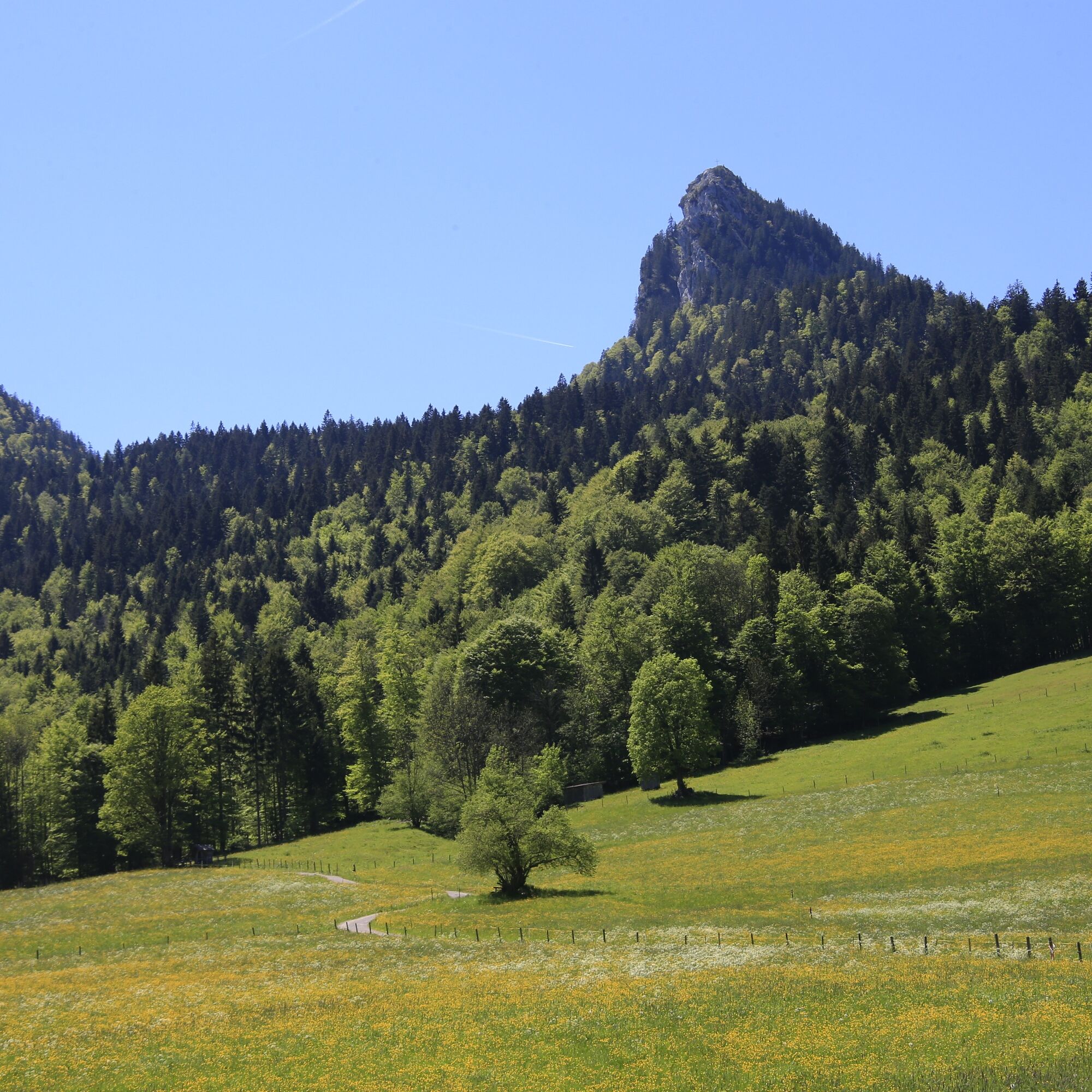
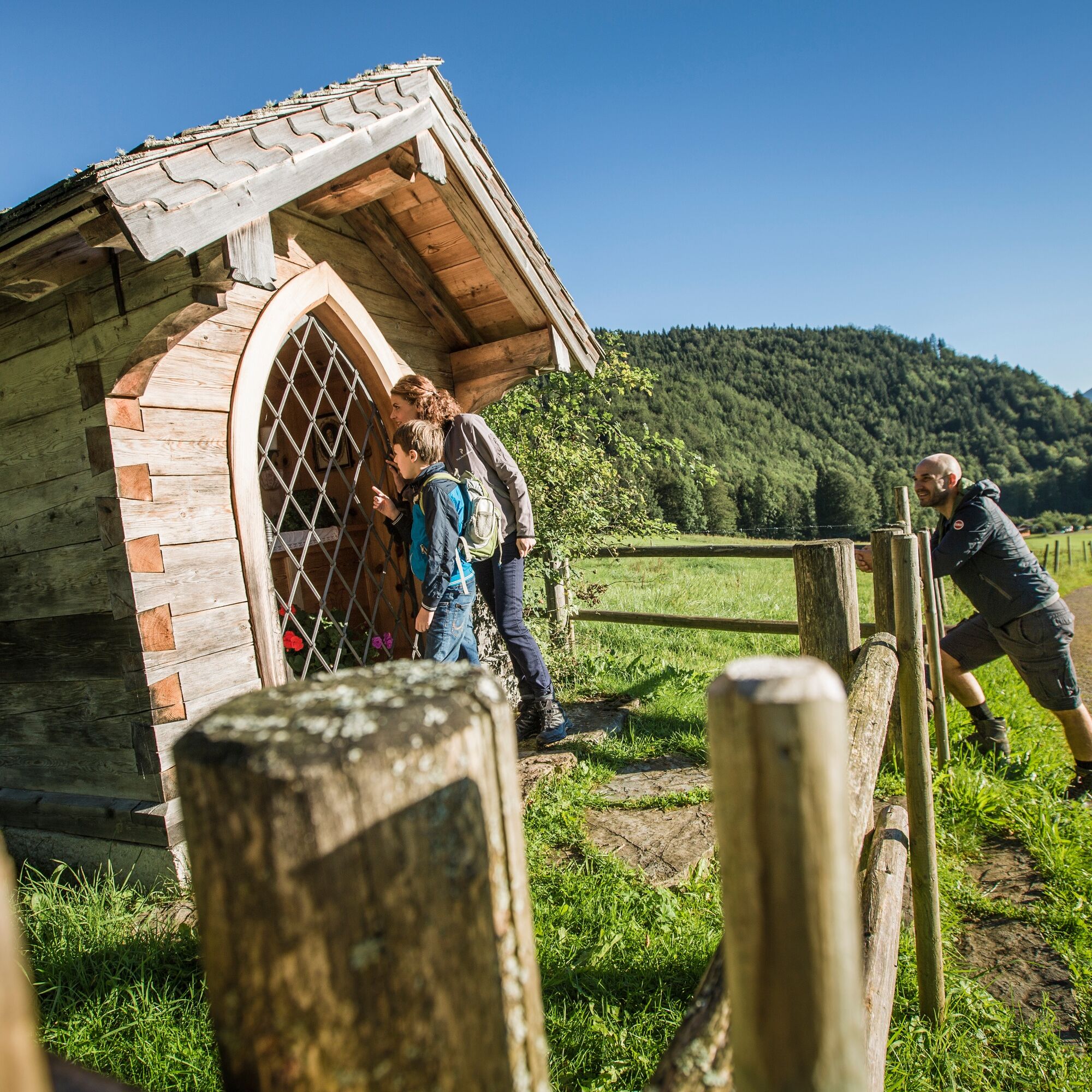
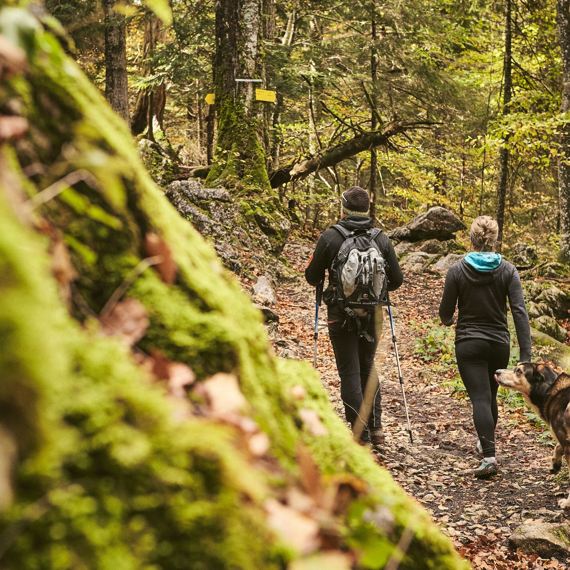
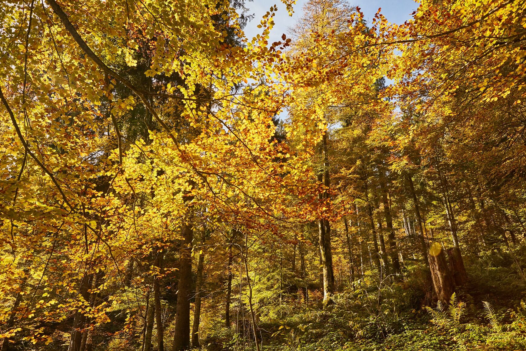
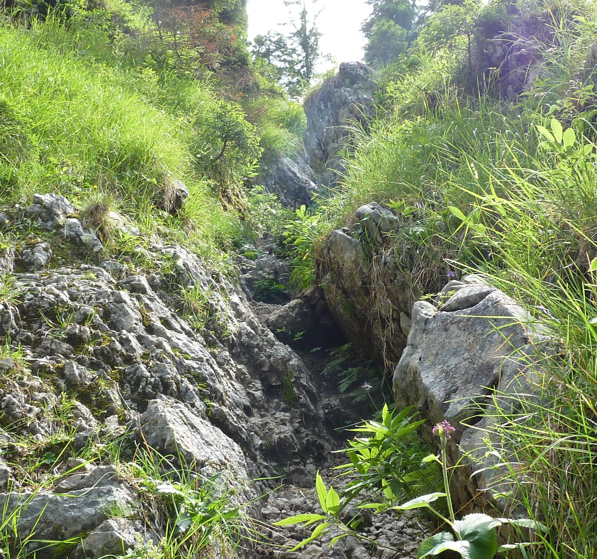
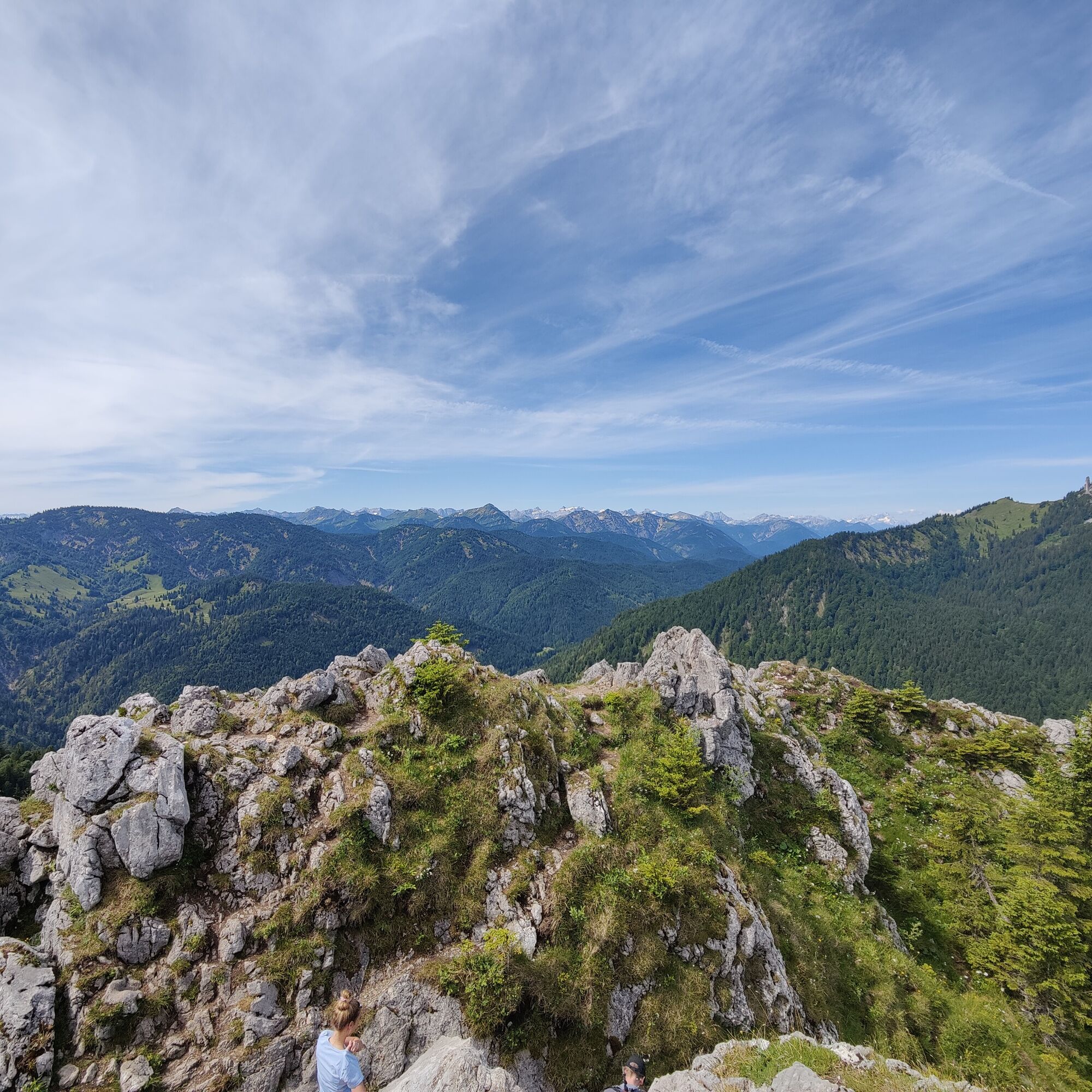
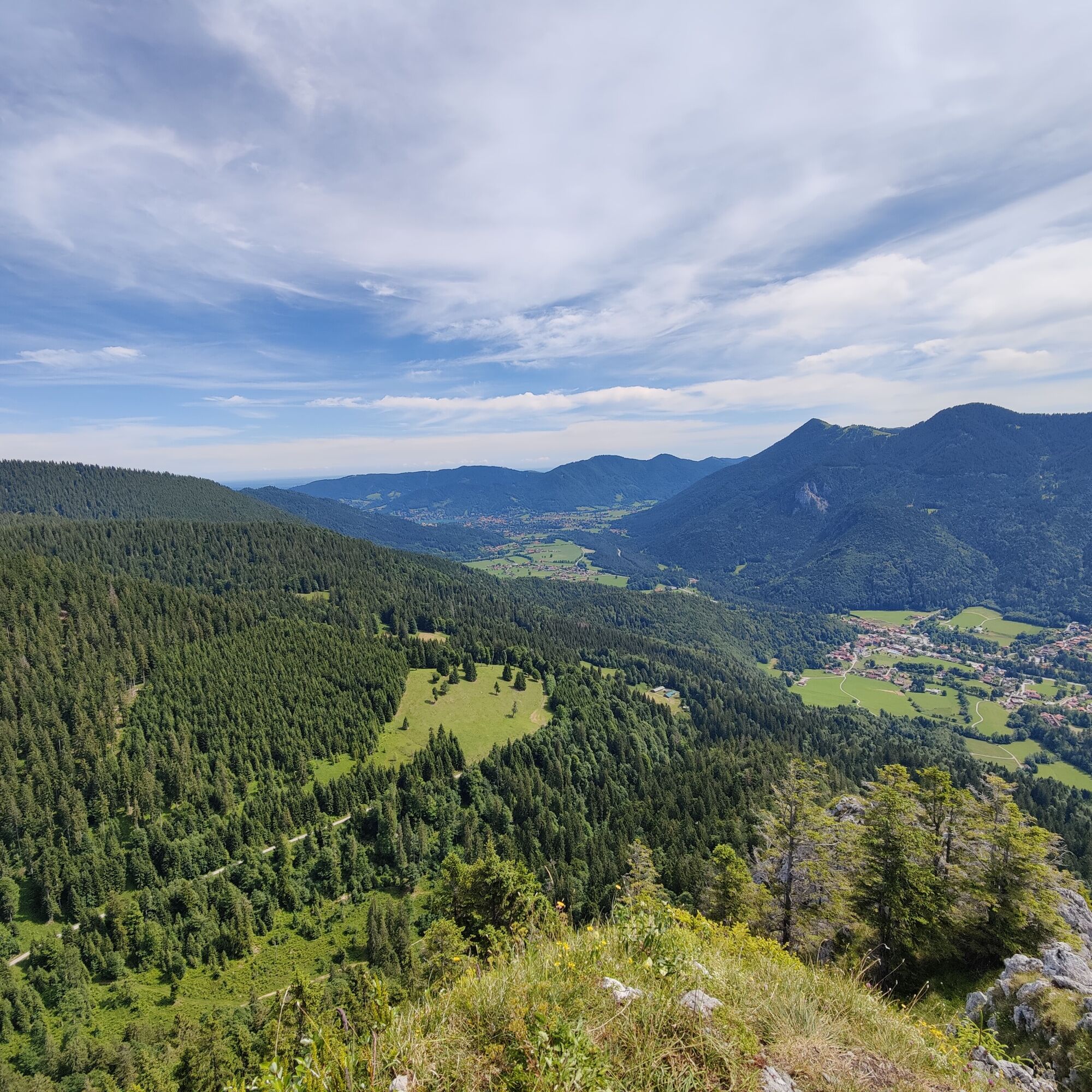
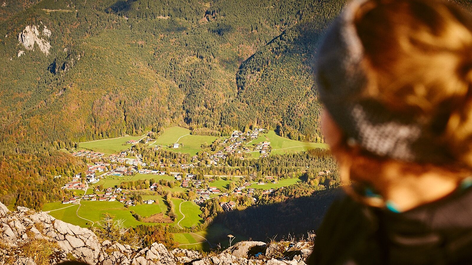
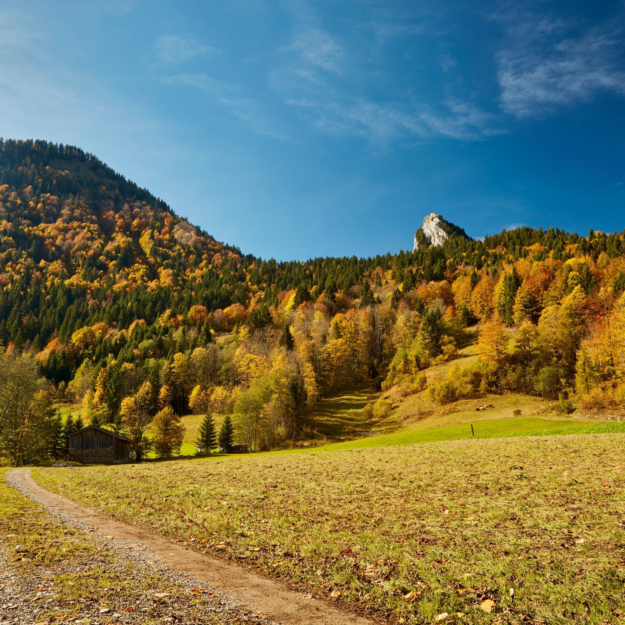

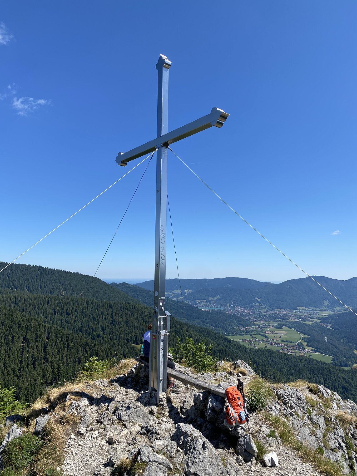
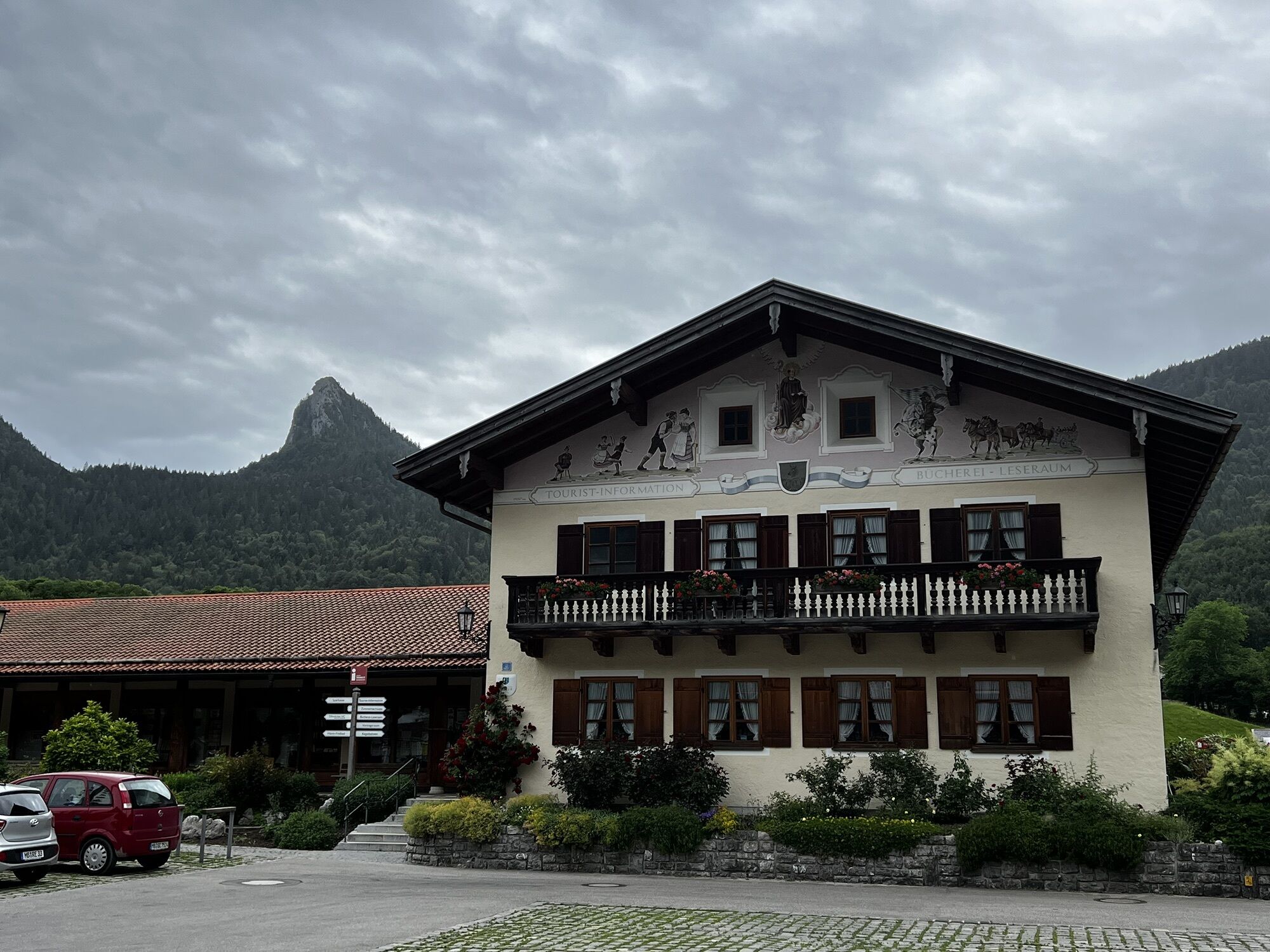
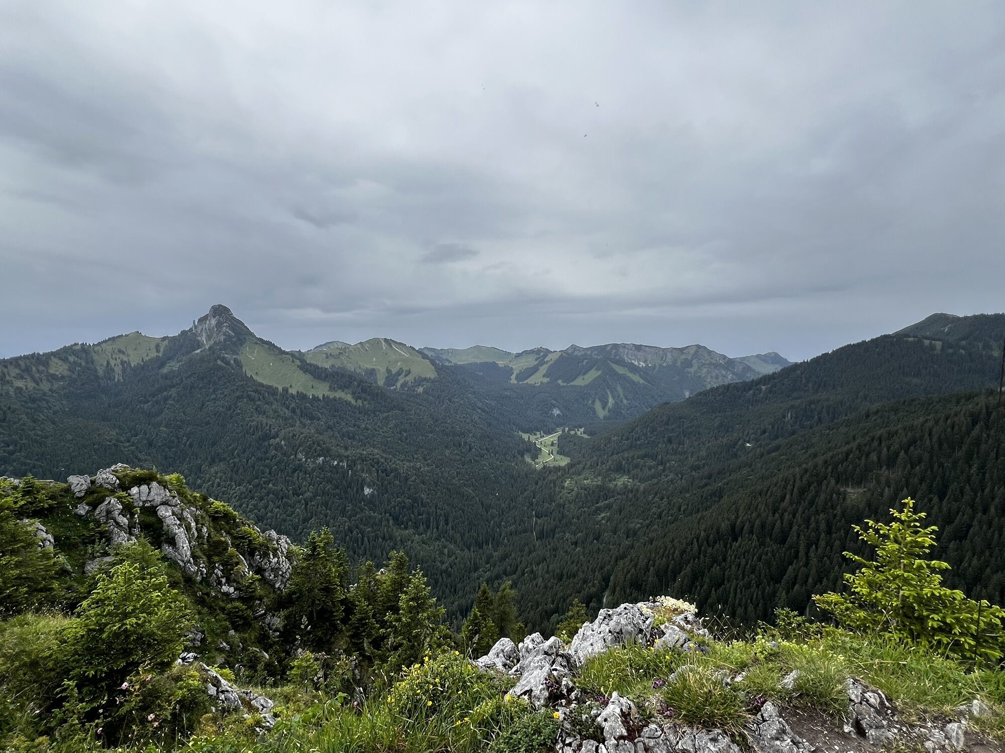
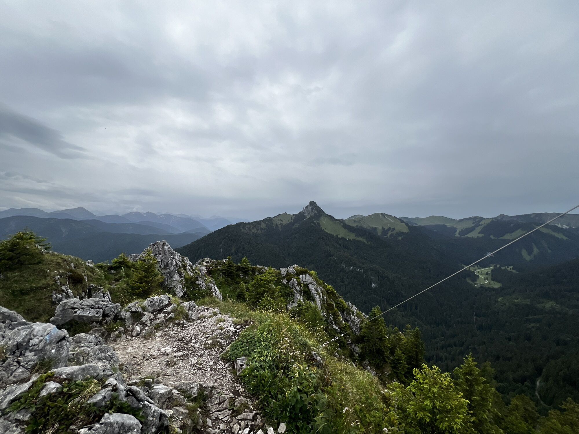
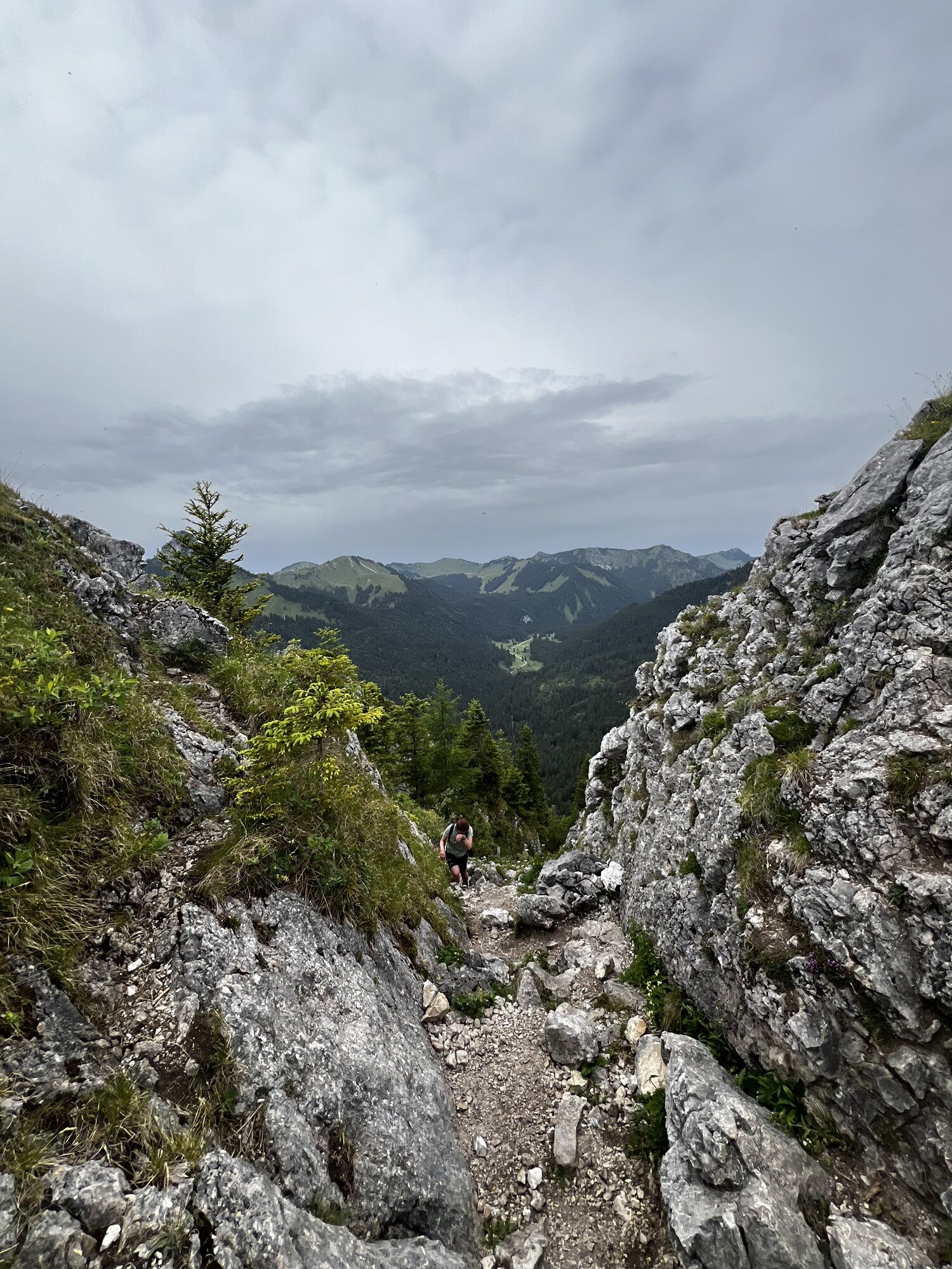
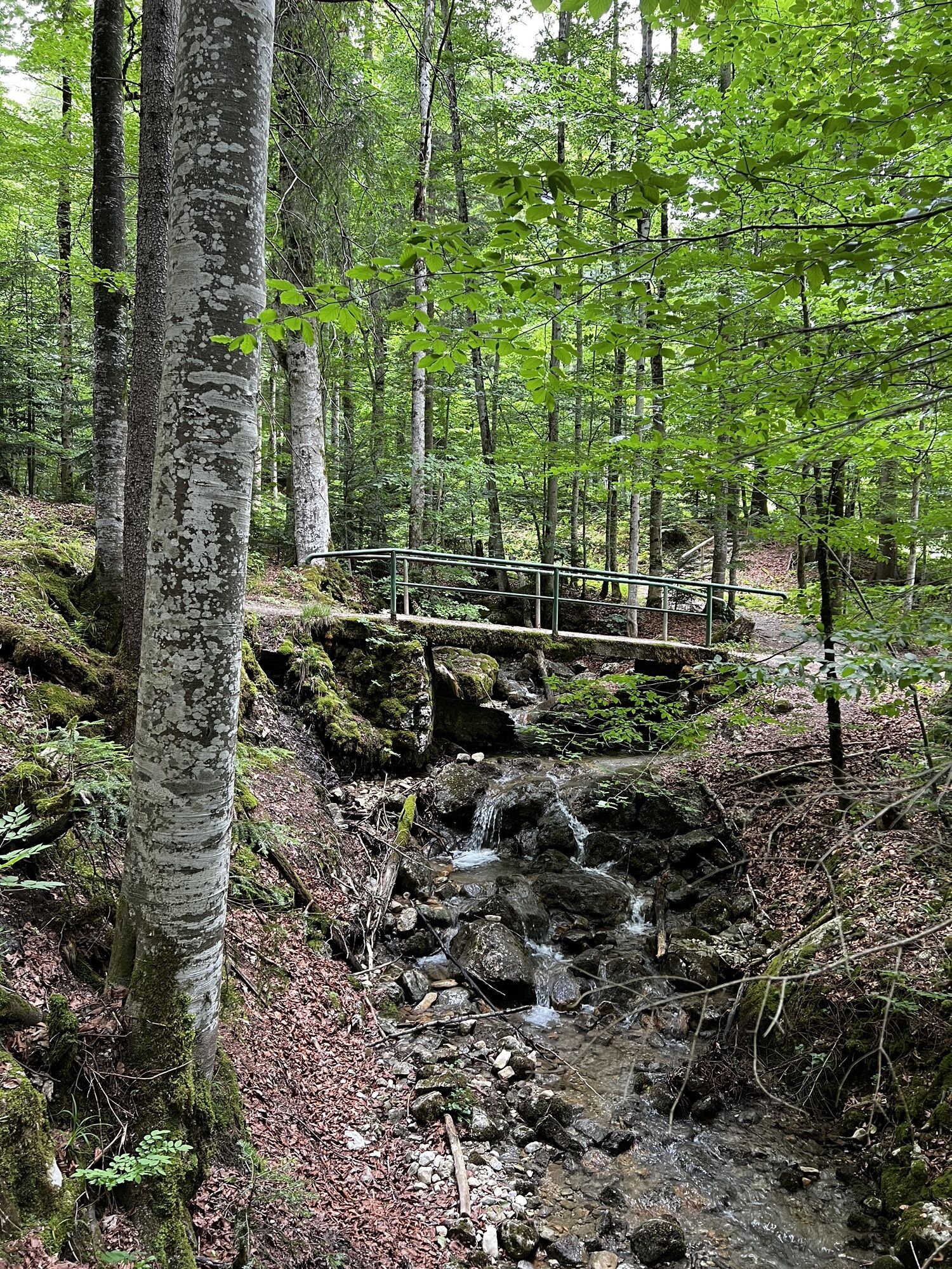
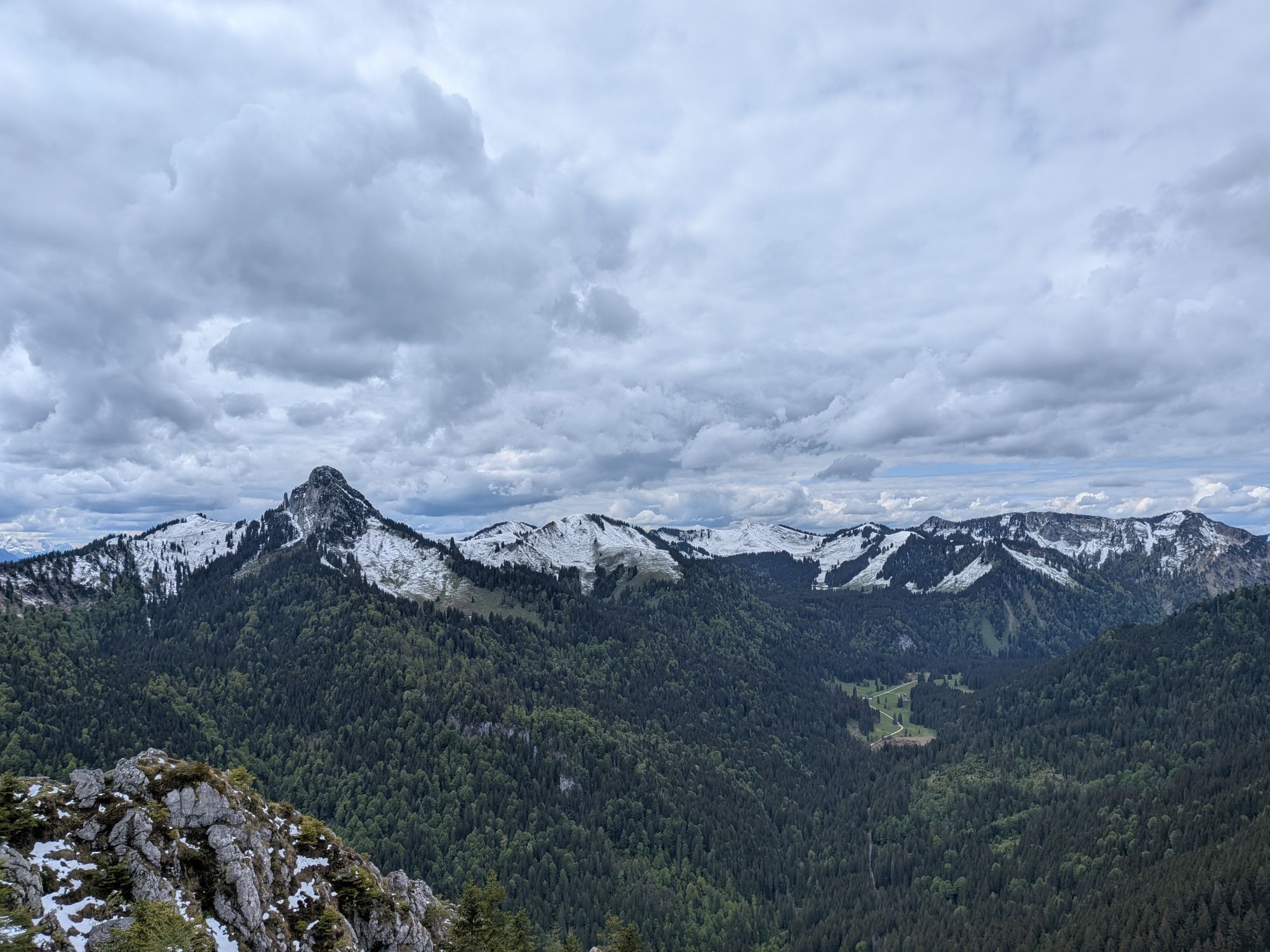
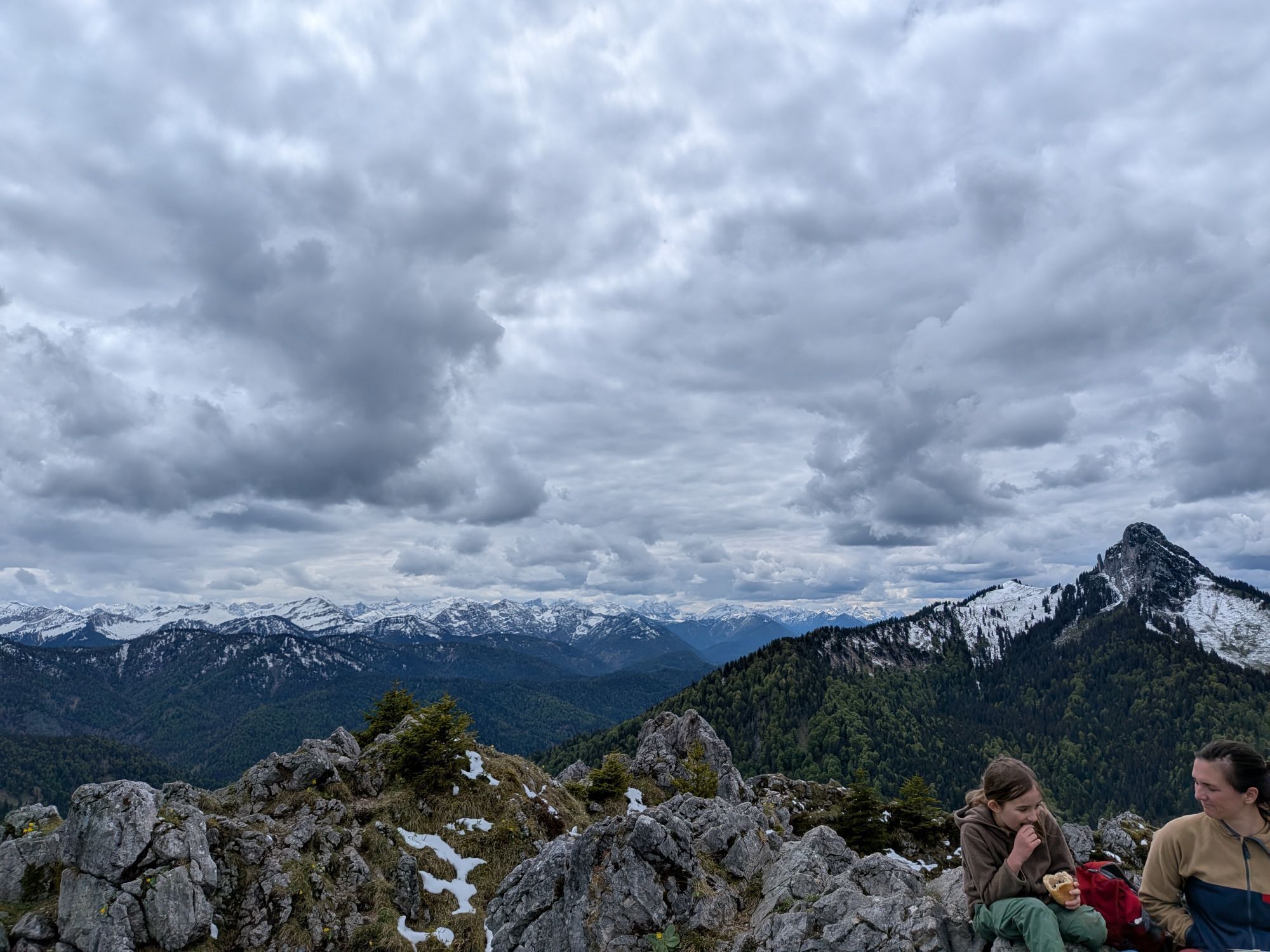
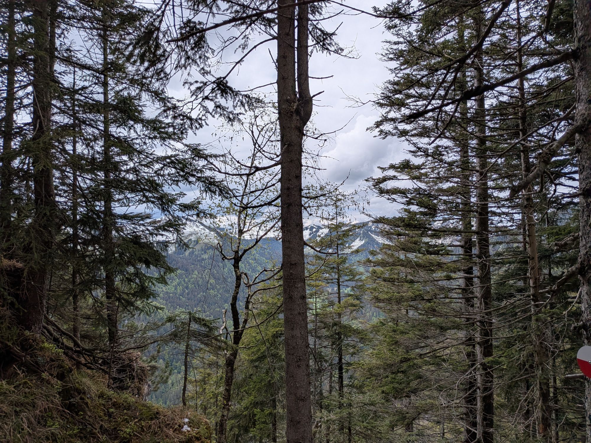
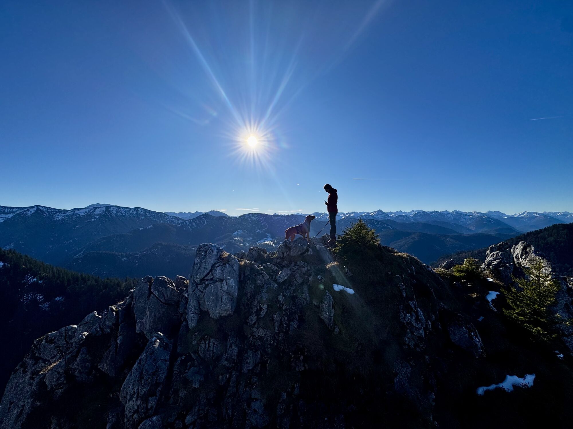
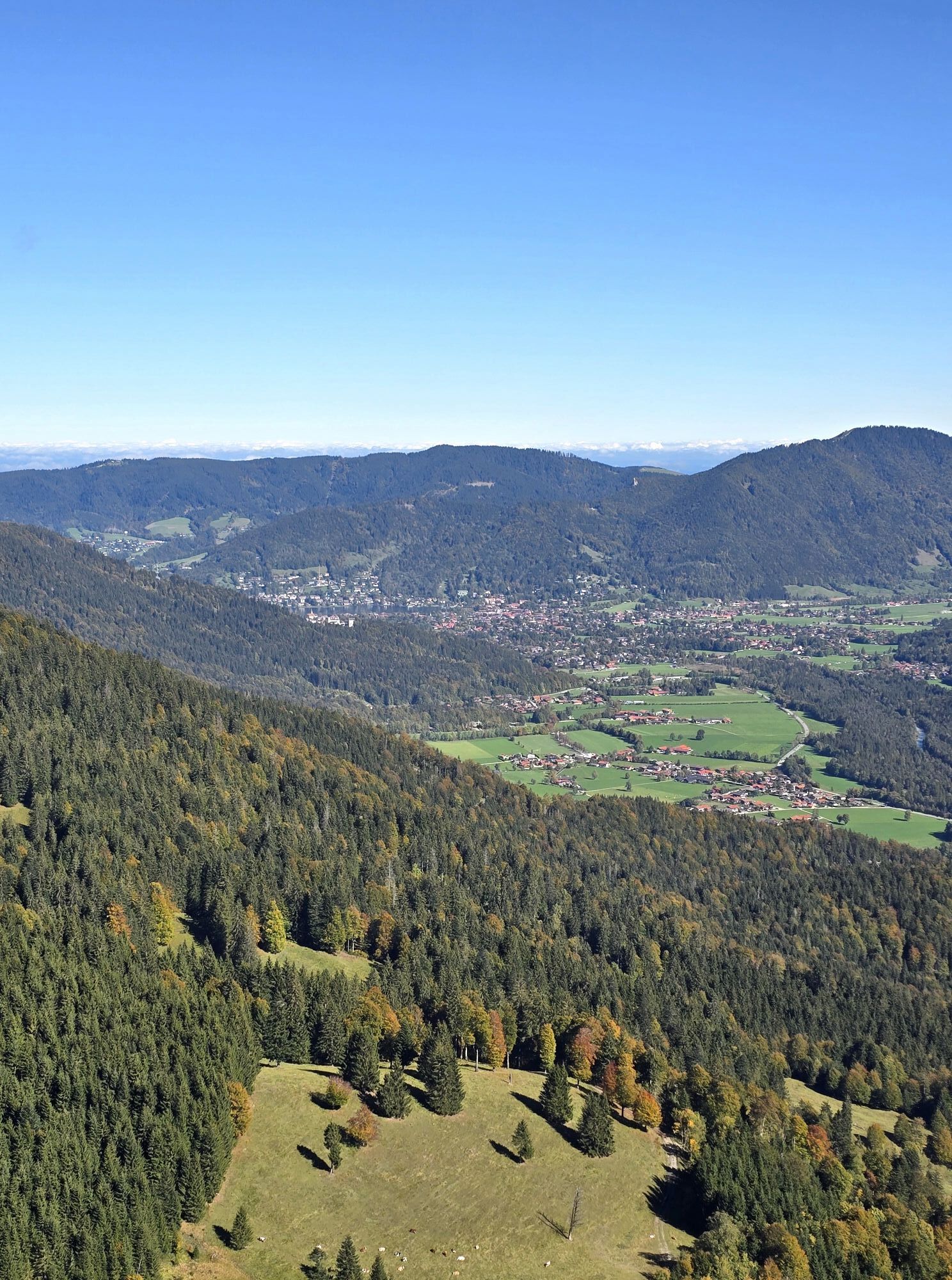
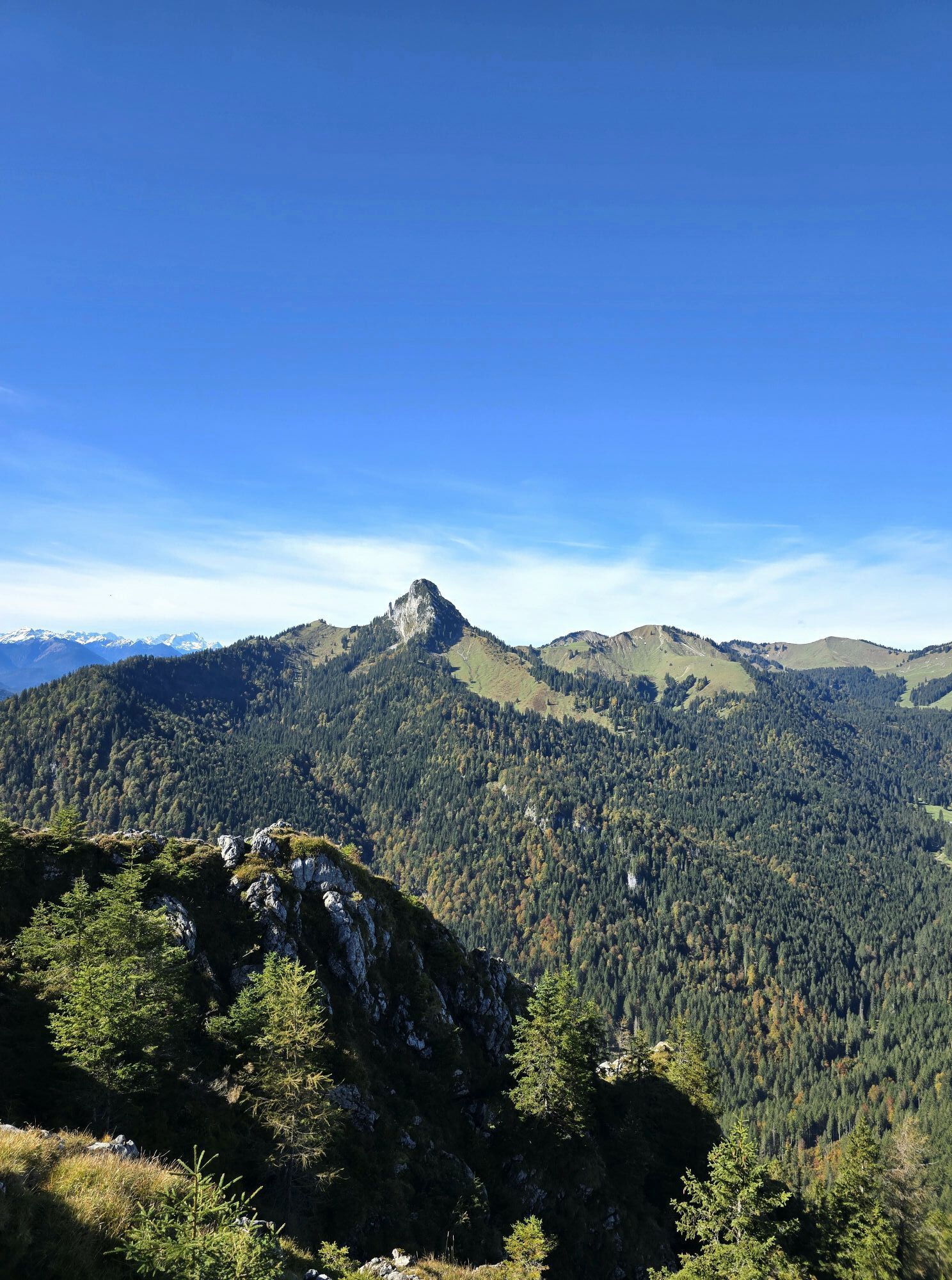
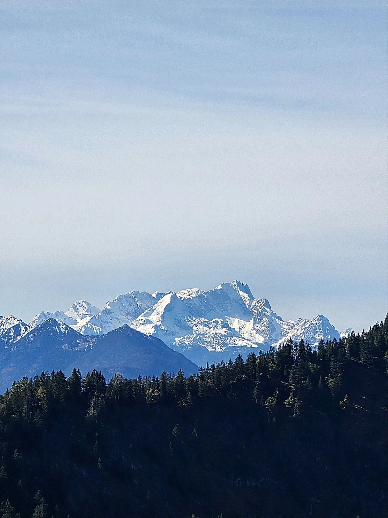
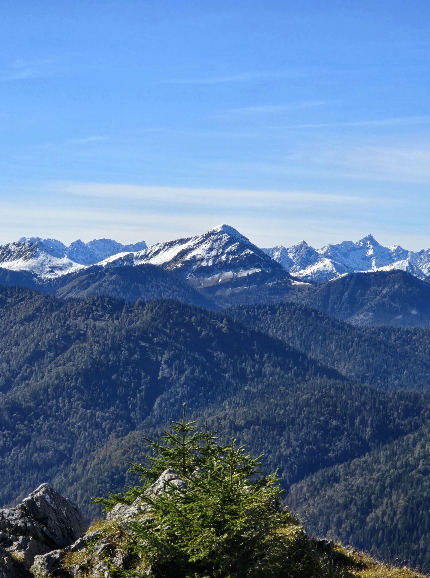
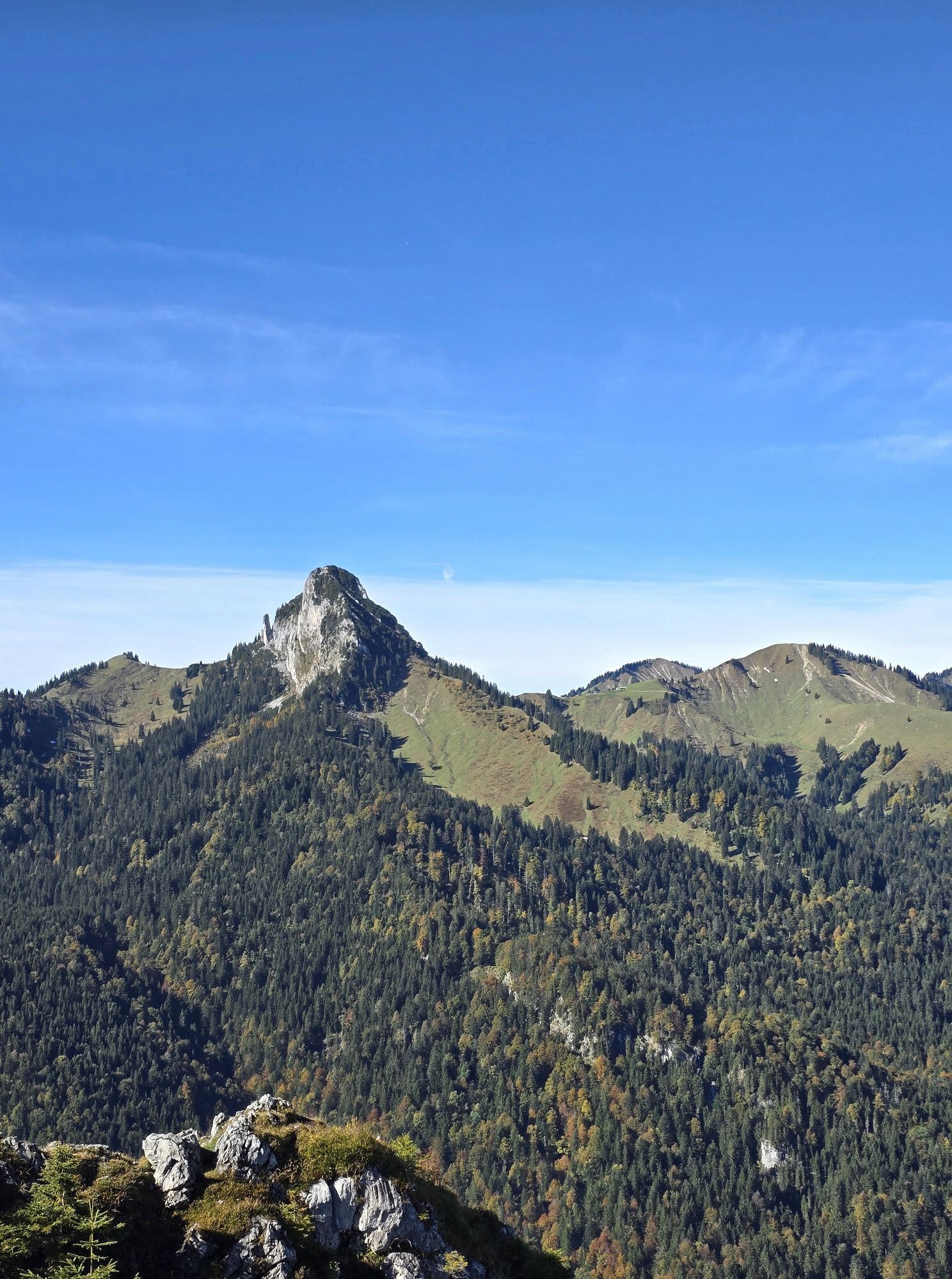
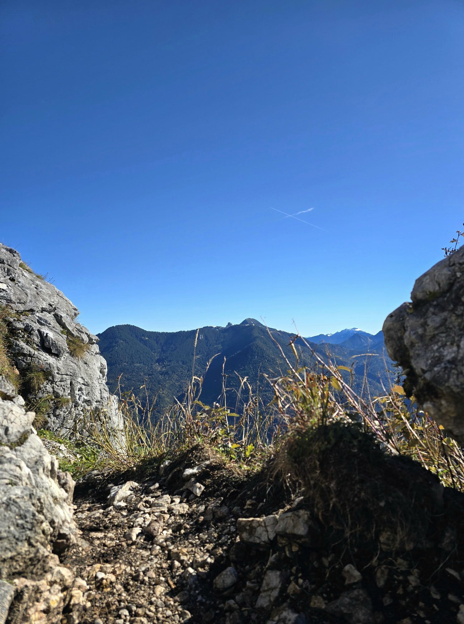
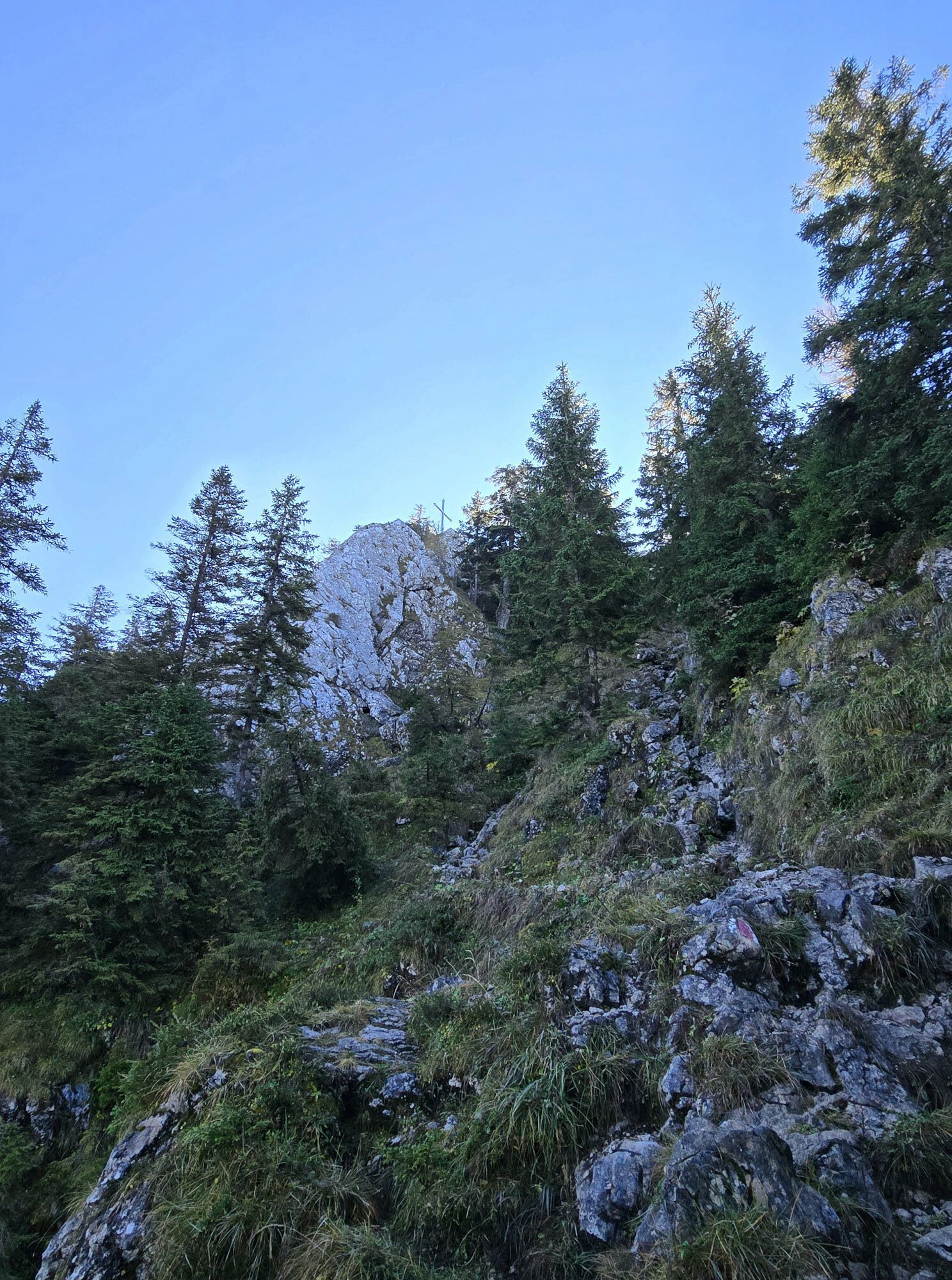
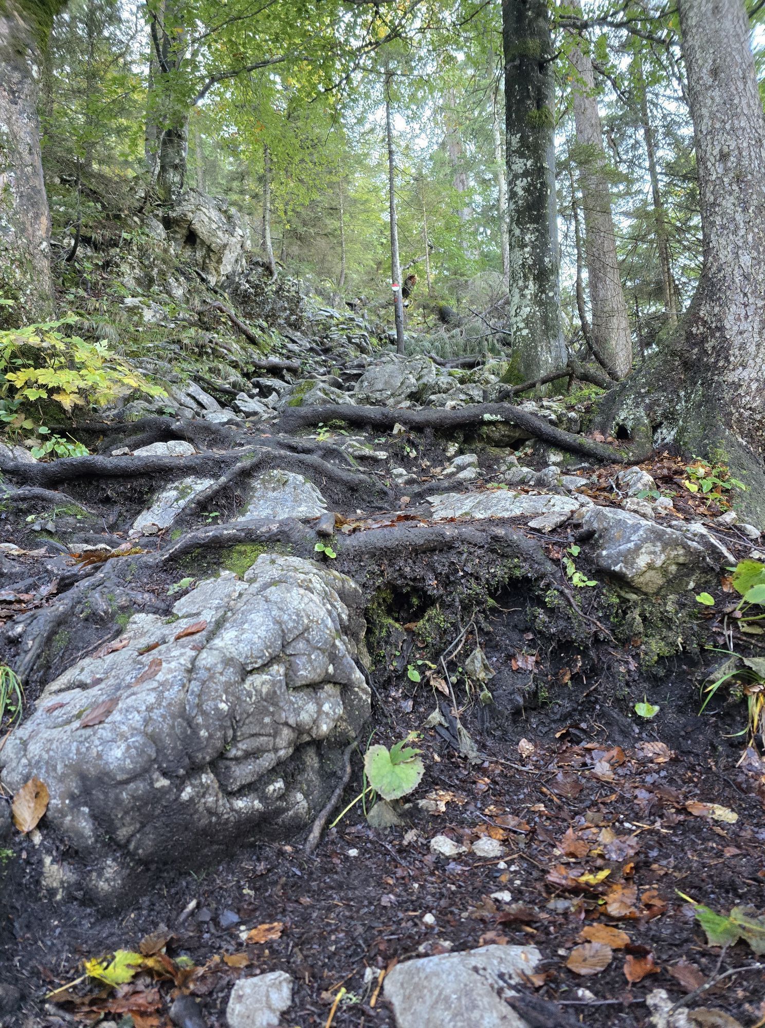
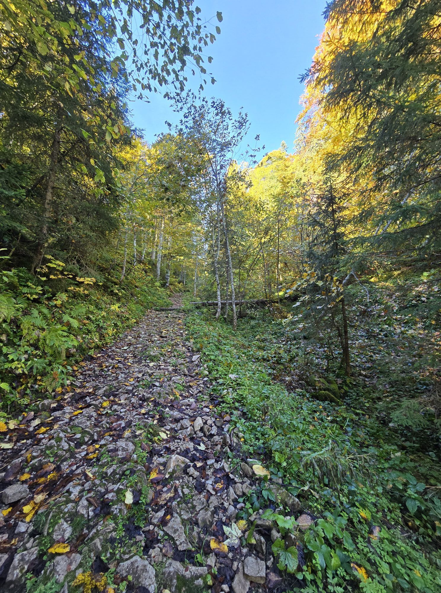
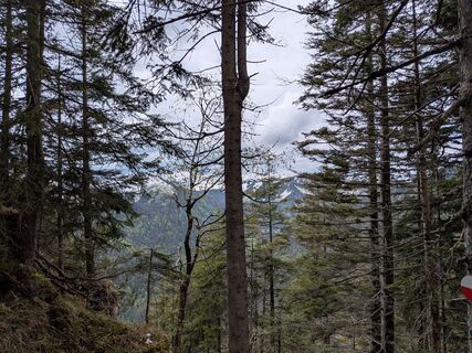
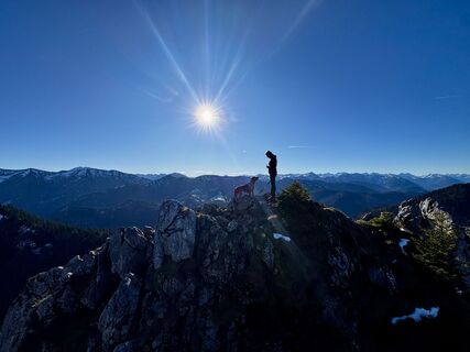
From the center of Kreuth, follow the street "Am Kirchberg" until it turns into a field path. It continues pleasantly at first until the slope gradually increases and the alpine pasture of Duslau-Alm is reached. From there, a narrow path (608) leads through the forest into the mountain world. At the saddle, turn left; here begins the last ascent to Leonhardstein. Hiking on the steep path requires some practice at the end; occasionally, hands need to be used for support. At the summit, a narrow rock pinnacle, space for hikers is limited. However, the beautiful view over to the nearby Buchstein and as far as the Zugspitze or also to the east compensates for the effort. The ascent path is recommended for the return journey.
Tak
Tak
Tak
Sturdy footwear as well as weather-appropriate clothing, possibly a rain jacket, water bottle, first aid kit.
In winter, Leonhardstein is not accessible. Please be sure to check the snow and avalanche situation then.
All information is without guarantee. Visiting and driving on the described routes is at your own risk.
A8 to the Holzkirchen exit, then via B318 to Kreuth
By MVV to Kreuth, bus stop Riedlerbrücke.
Paid parking in 83708 Kreuth at the spa park.

Kamery internetowe z trasy

Aktywności na trasie

Kreuth, Bayern/Deutschland
22.08.2026 – WędrówkaKreuth, Bayern/Deutschland
12.07.2026 – WędrówkaKreuth, Bayern/Deutschland
19.06.2026 – Wycieczki górskie
Leonardstein von Kreuth
17.05.2026 – Wycieczki górskie
Kreuth, Leonhardstein
17.04.2026 – WędrówkaKreuth, Oberbayern/Deutschland
08.04.2026 – Wędrówka
Kreuth, Oberbayern/Deutschland
14.12.2025 – Wędrówka
Kreuth, Oberbayern/Deutschland
08.10.2025 – Wycieczki górskie
Leonhardstein
06.10.2024 – Wycieczki górskie
Popularne wycieczki w okolicy
- 4,7
Königsalm
średniWędrówka 10,0 km - 4,7
Alpbach valley and Neureuth
średniWędrówka 12,9 km - 4,6
Summit route to the Wallberg
średniWędrówka 12,2 km - 4,6
Roß- and Buchstein, Tegernsee Hut
ciężkiWędrówka 14,4 km - 4,4
Achenkirch - Zöhreralm - Adlerhorst - Achenkirch
światłoWędrówka 7,70 km - 4,3
Tegernsee Höhenweg - North
światłoWędrówka 12,3 km - 4,8
Lengrieser Hütte
średniWędrówka 10,6 km - 4,7
Hirschberg
średniWycieczki górskie 12 km - 4,6
Brecherspitze
średniWycieczki górskie 14,5 km - 4,5
Brecherspitz-Runde auf dem Normalweg Schliersee, Bayern
średniWędrówka 11,3 km

Wędrówki i tropienie


Nie przegap ofert i inspiracji na następne wakacje
Twój adres e-mail została dodana do listy mailingowej.





