






Alpine adventure path on the Imberg
Zdjęcia naszych użytkowników
-
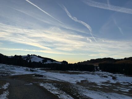
 © Theresa MarteUtworzono dnia 27.12.2025
 -
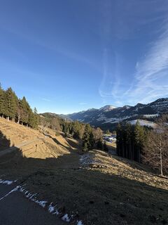 © Theresa MarteUtworzono dnia 27.12.2025
 -
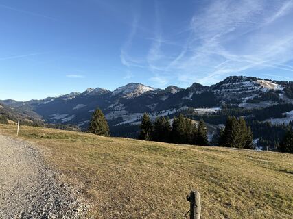 © Theresa MarteUtworzono dnia 27.12.2025
 -
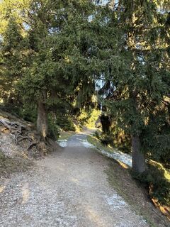 © Theresa MarteUtworzono dnia 27.12.2025
 -
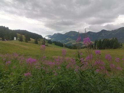
 © TurbinioUtworzono dnia 15.07.2025
 -
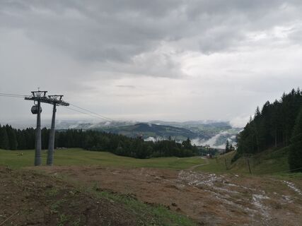 © TurbinioUtworzono dnia 15.07.2025
 -
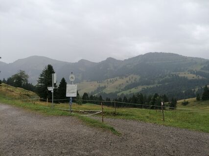 © TurbinioUtworzono dnia 15.07.2025
 -
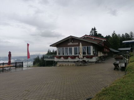 © TurbinioUtworzono dnia 15.07.2025
 -
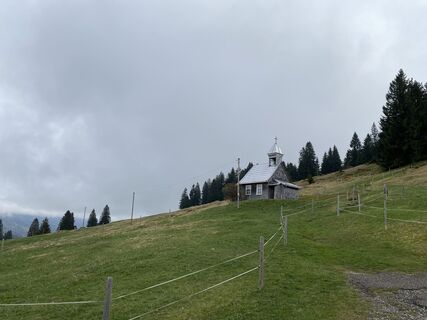
 © Lars KleinUtworzono dnia 26.04.2025
 -
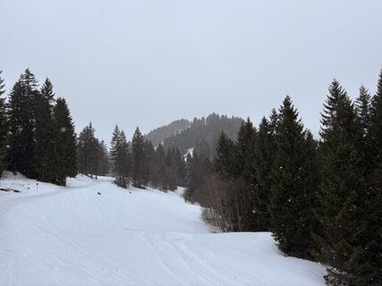 © Doc44hUtworzono dnia 25.01.2026
 -
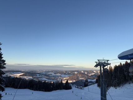 © Noel DworatzekUtworzono dnia 03.01.2026
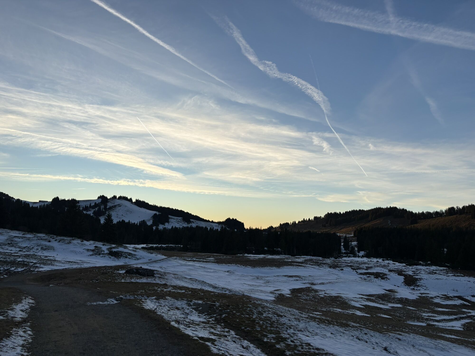
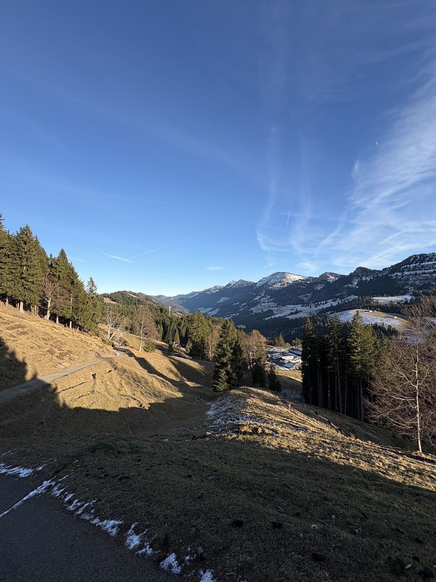
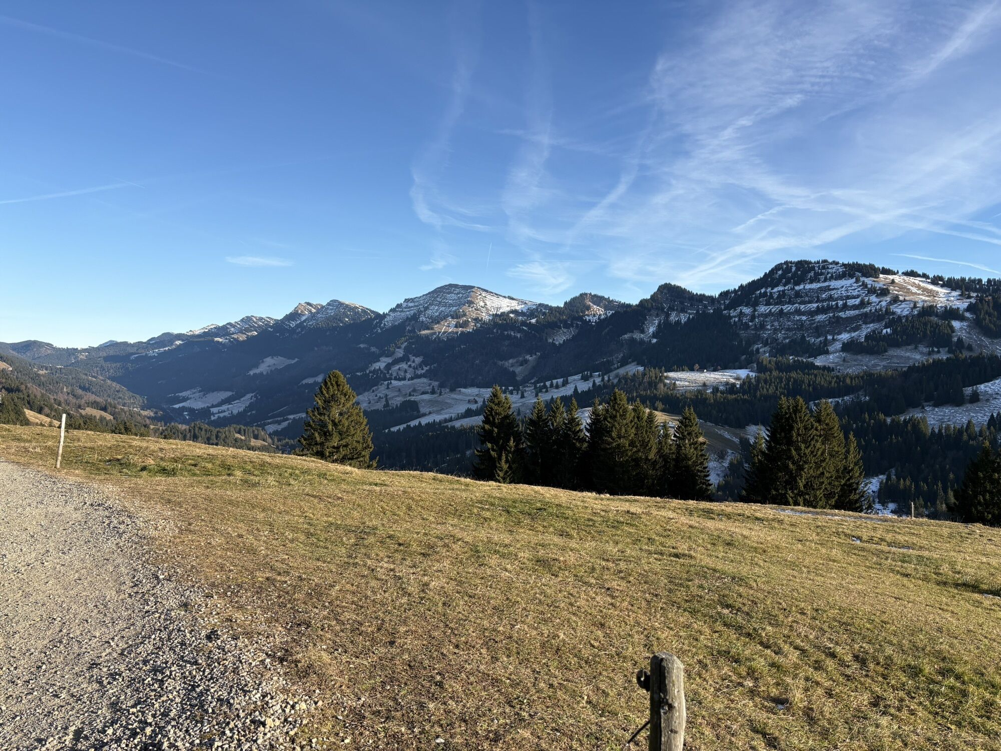
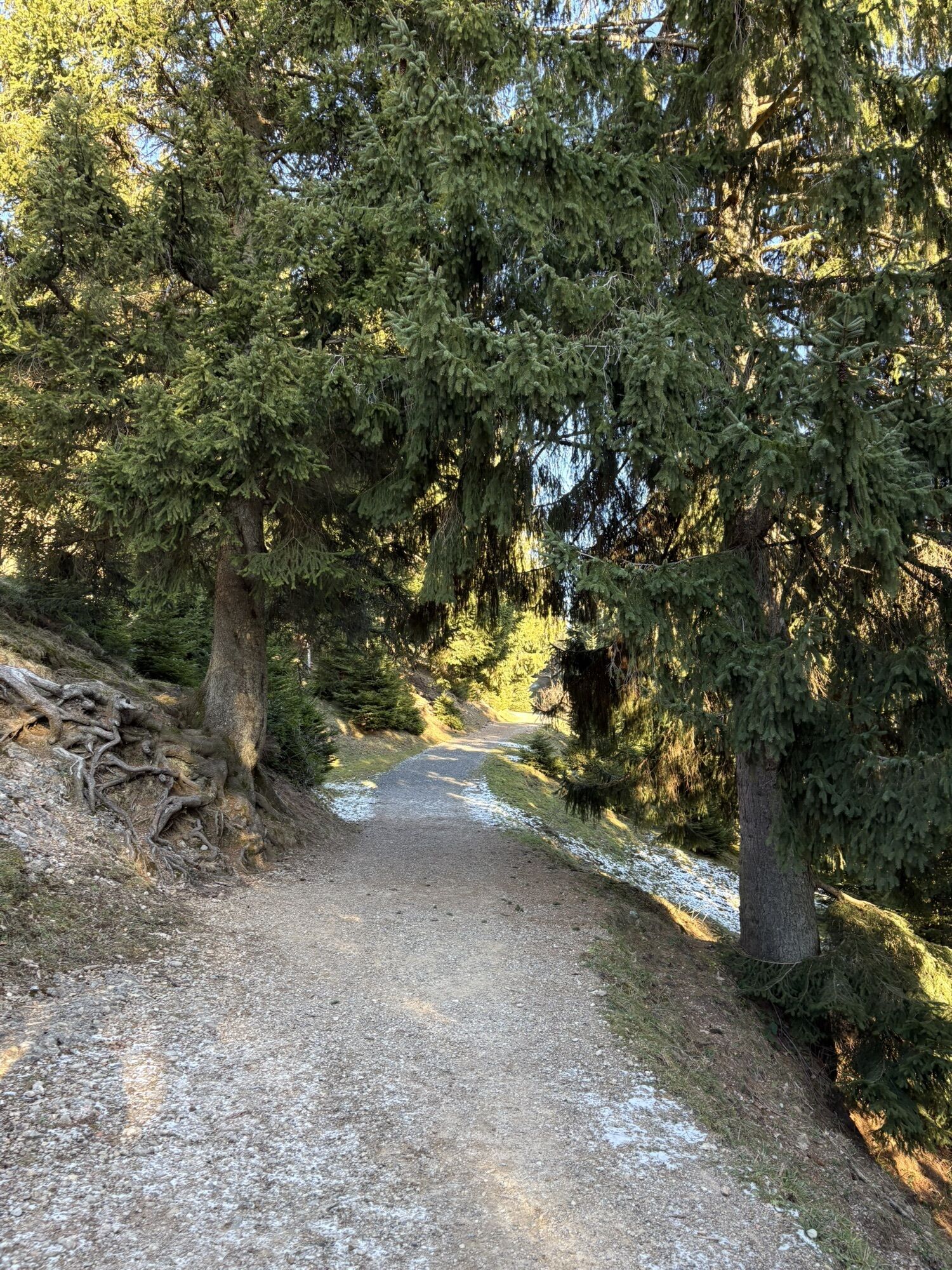
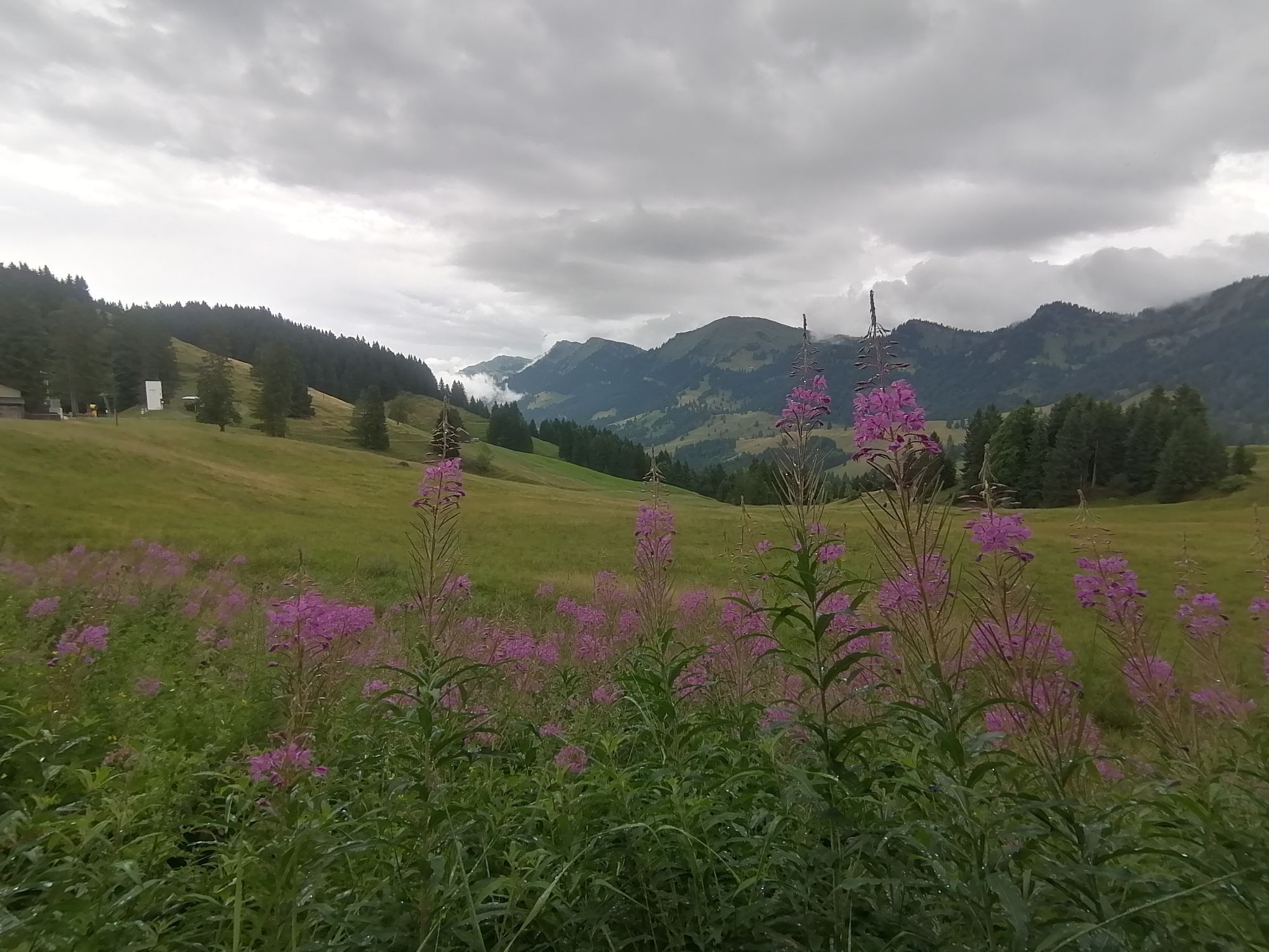
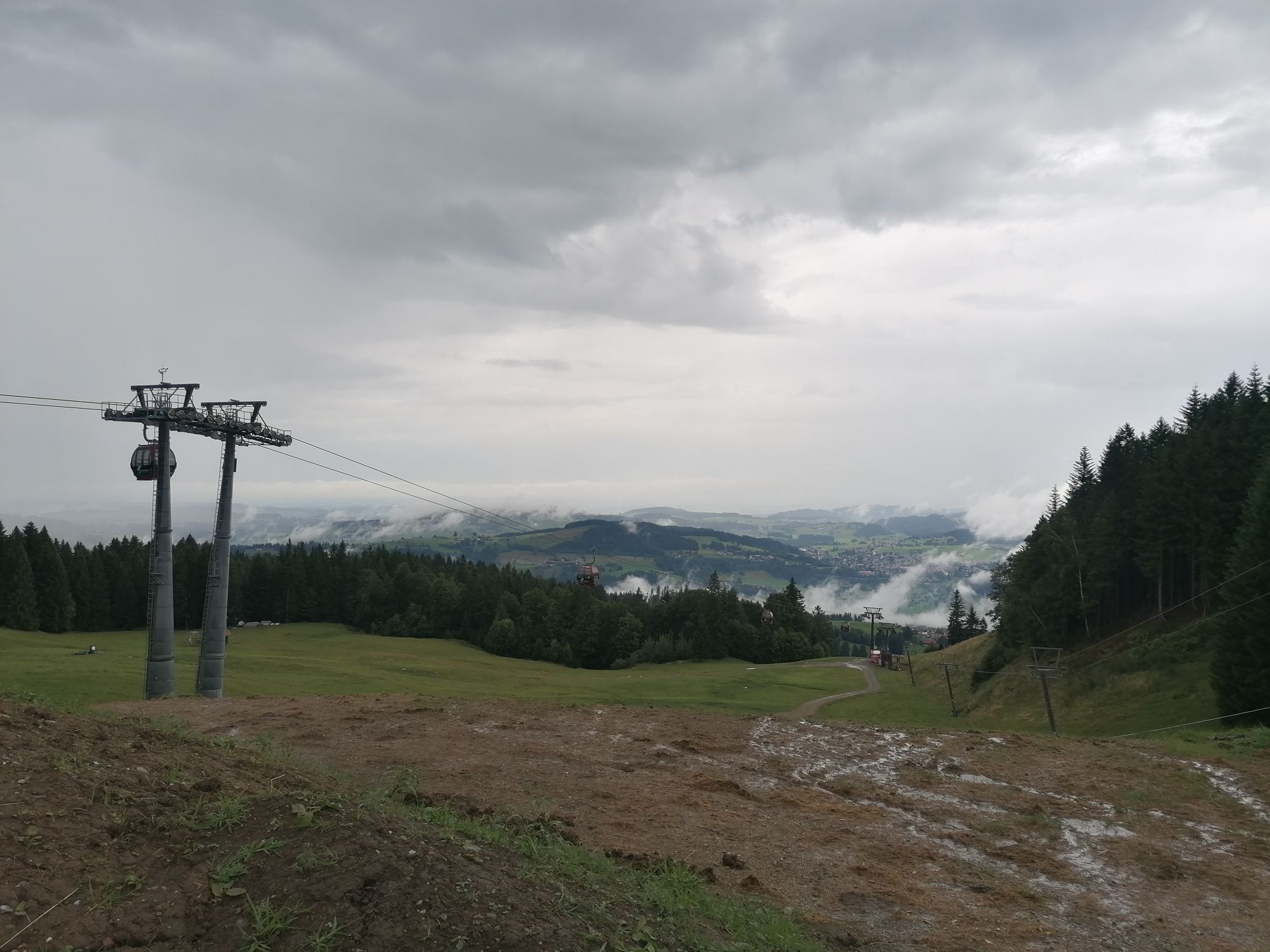
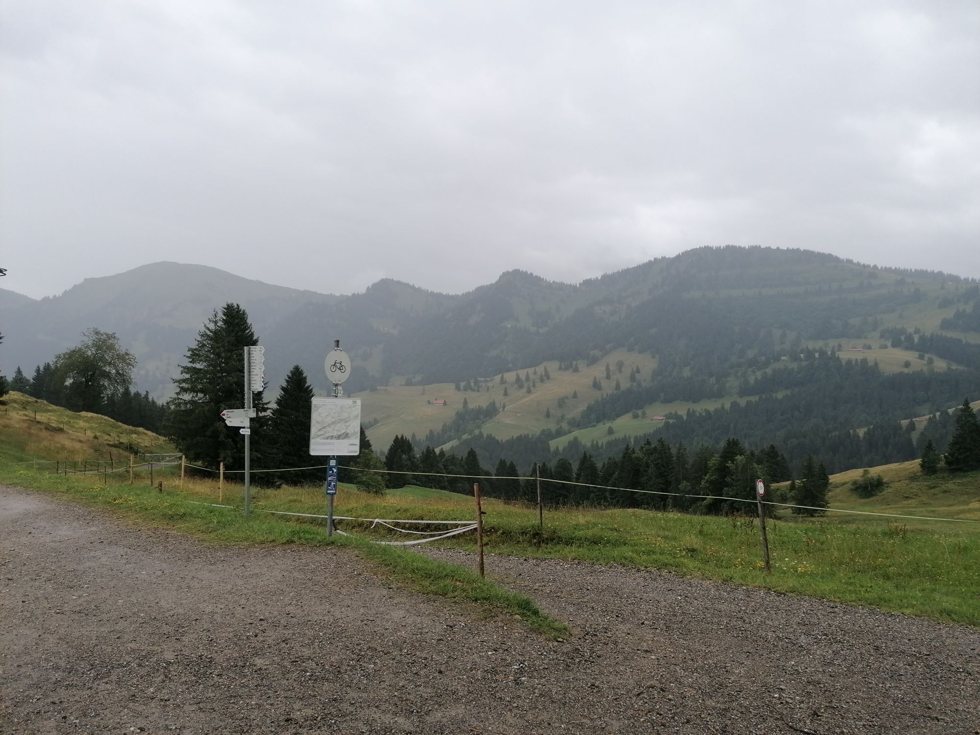
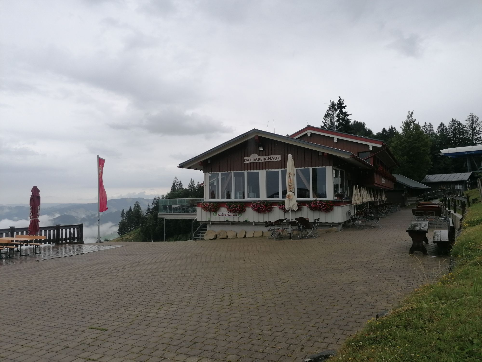
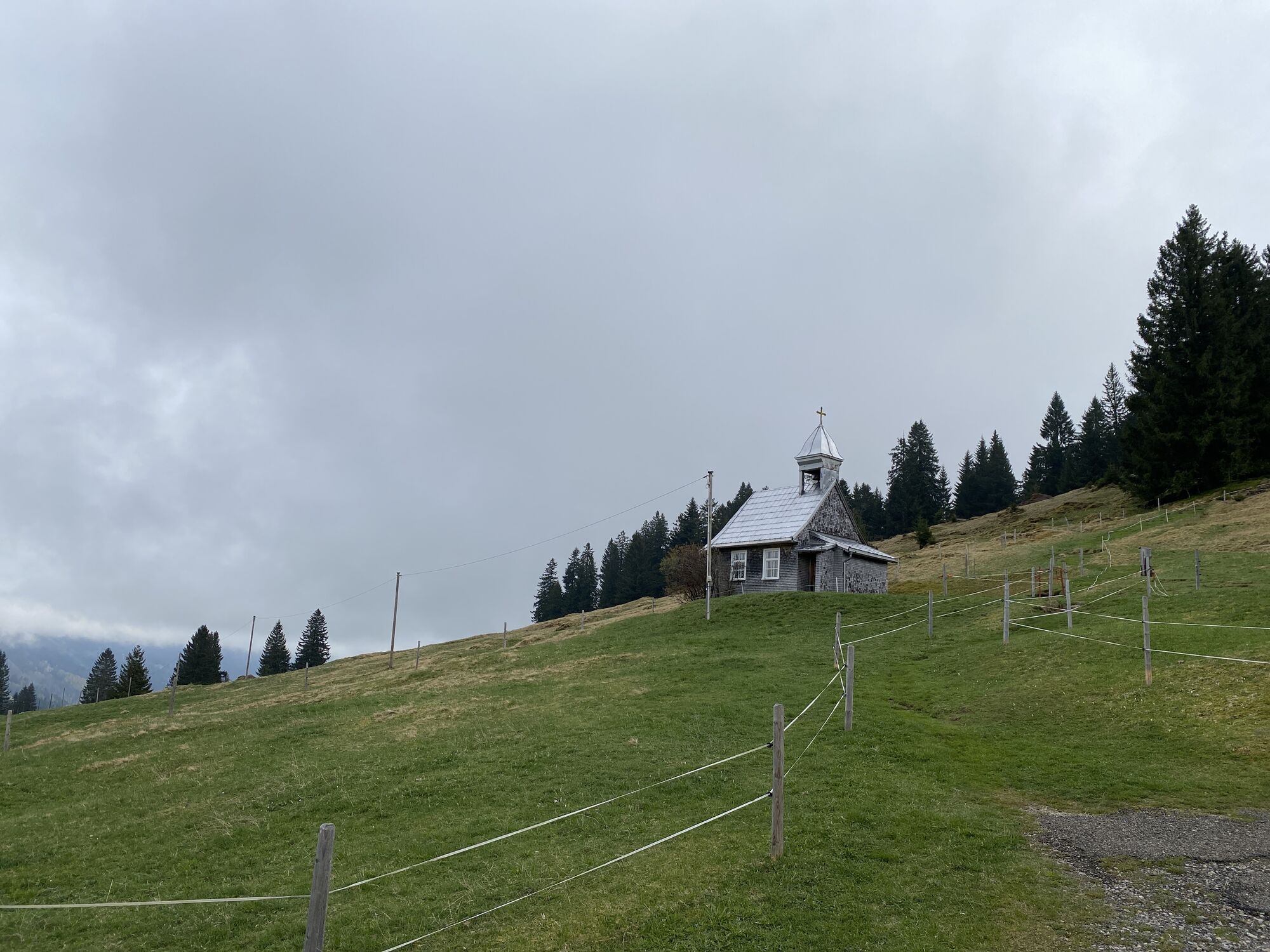
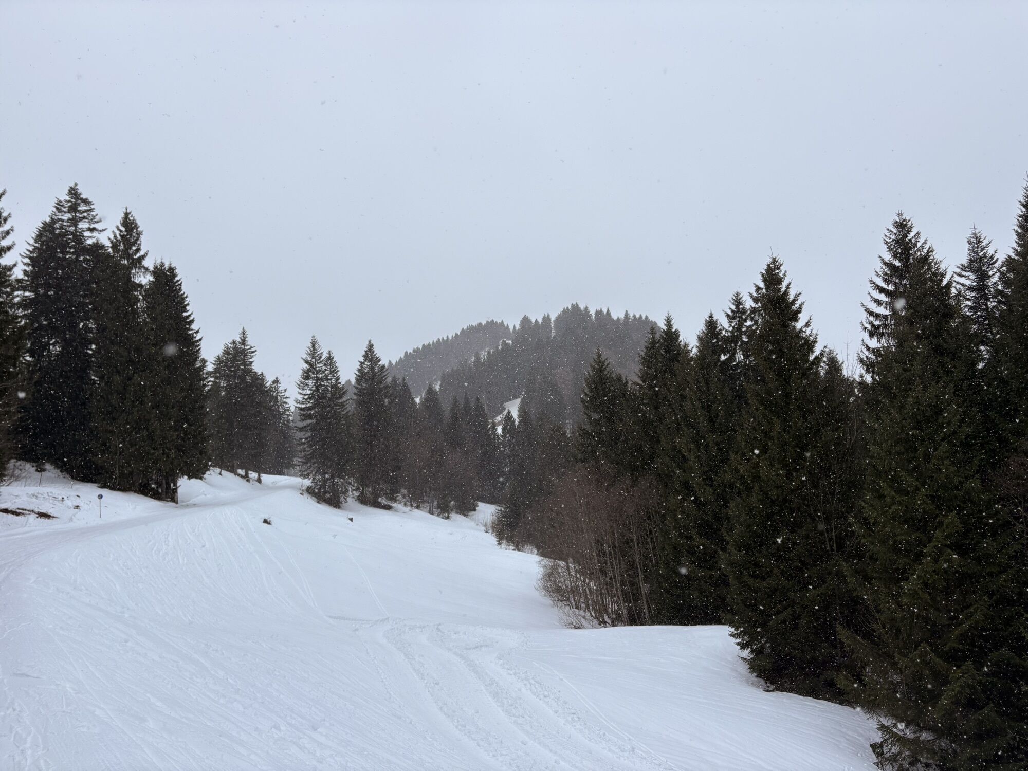
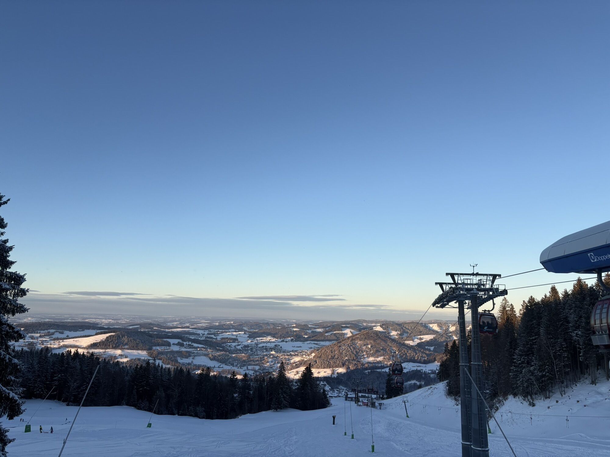
From the mountain station of the Imbergbahn, head west through the forest to the road. There you follow the signposted circular route with its 47 stations counterclockwise. These provide information about...
From the mountain station of the Imbergbahn, head west through the forest to the road. There you follow the signposted circular route with its 47 stations counterclockwise. These provide information about the region and alpine farming in the Allgäu.
Shortly after Alpe Glutschwanden, it goes in a large curve through the raised bog to Alpe Hochwies, then down to Lanzenbach and back up to Alpe Hochbühl. From there back to the mountain station.
With a length of just over six kilometers, the alpine adventure path is a leisurely but multi-hour route if you take your time at the stations. Best views of the peaks of the Nagelfluhkette line the path. The entire route runs on paved paths, making the round also suitable for all-terrain strollers. A shortened route of five kilometers as well as a short walking loop of only two kilometers in the Imbergbahn area are possible.
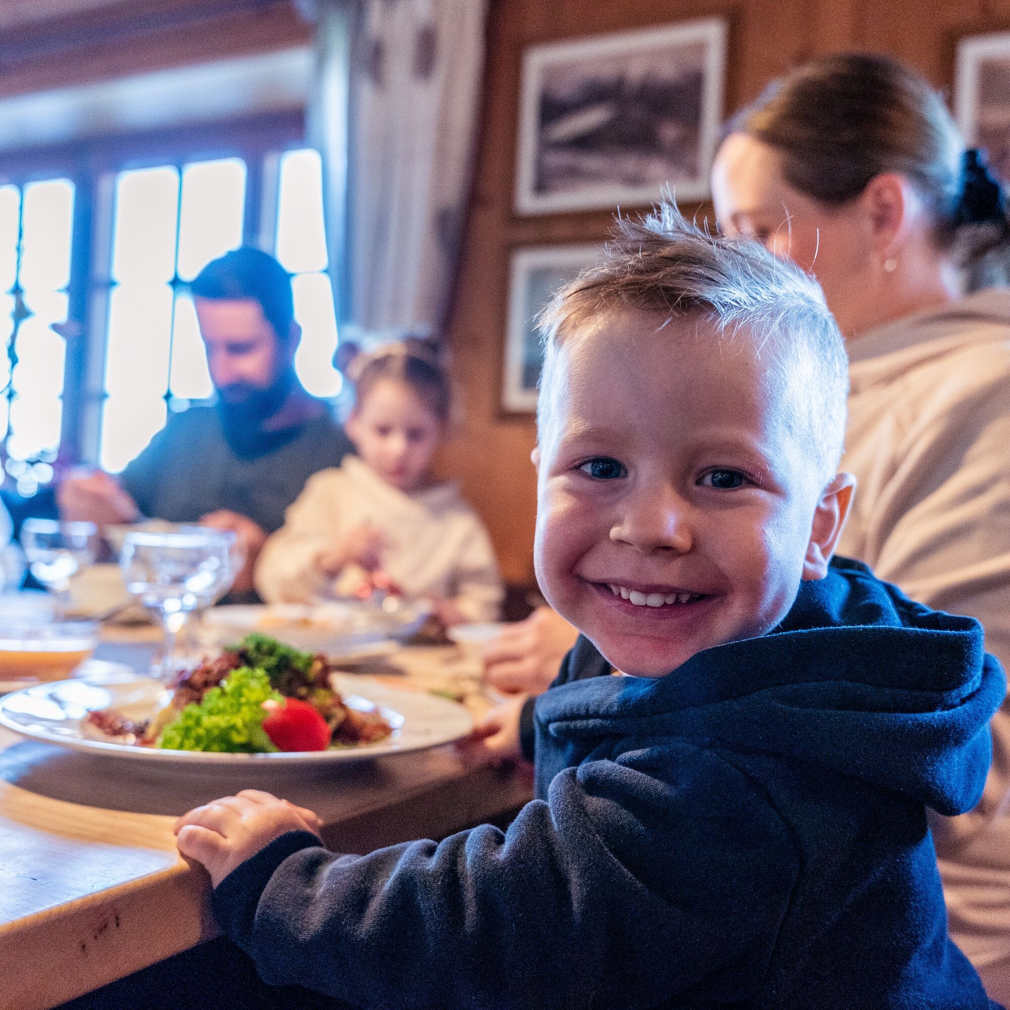
Several huts along the way provide plenty of opportunities to stop for refreshments.

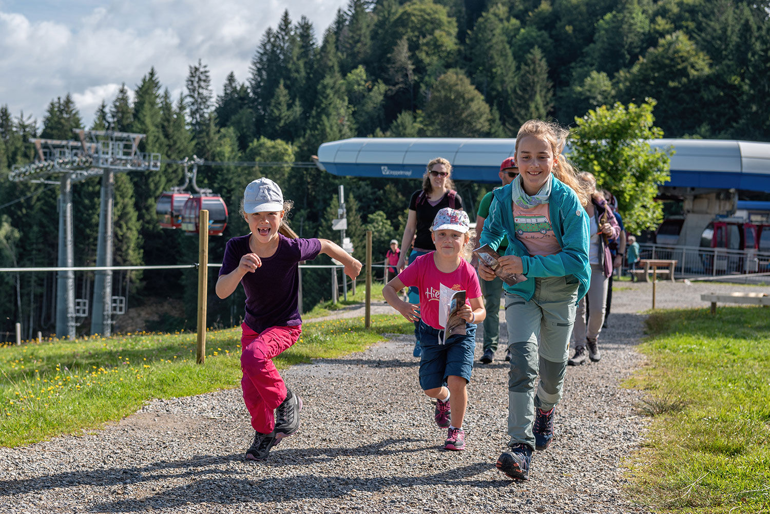
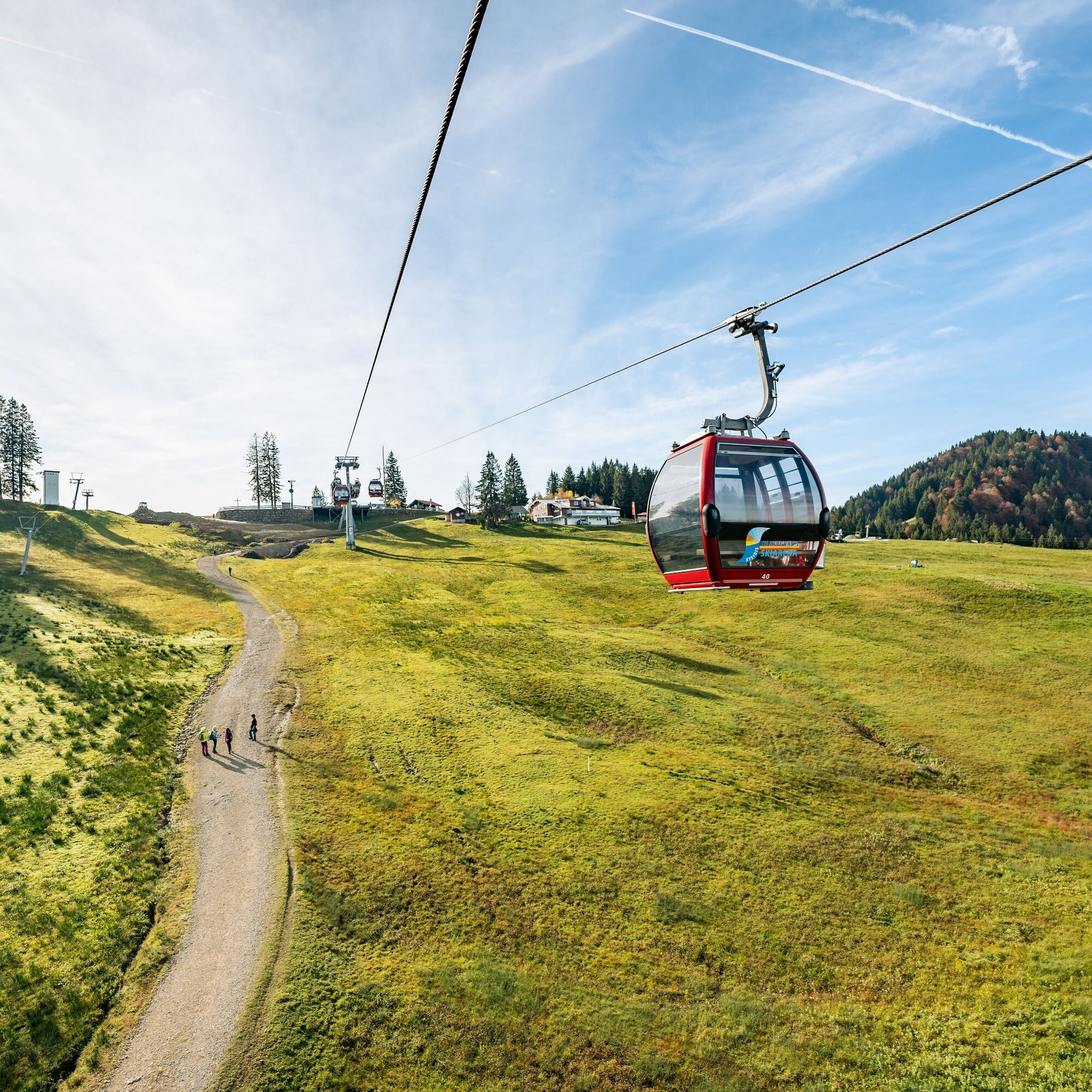
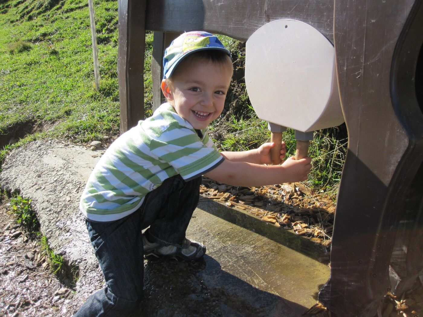
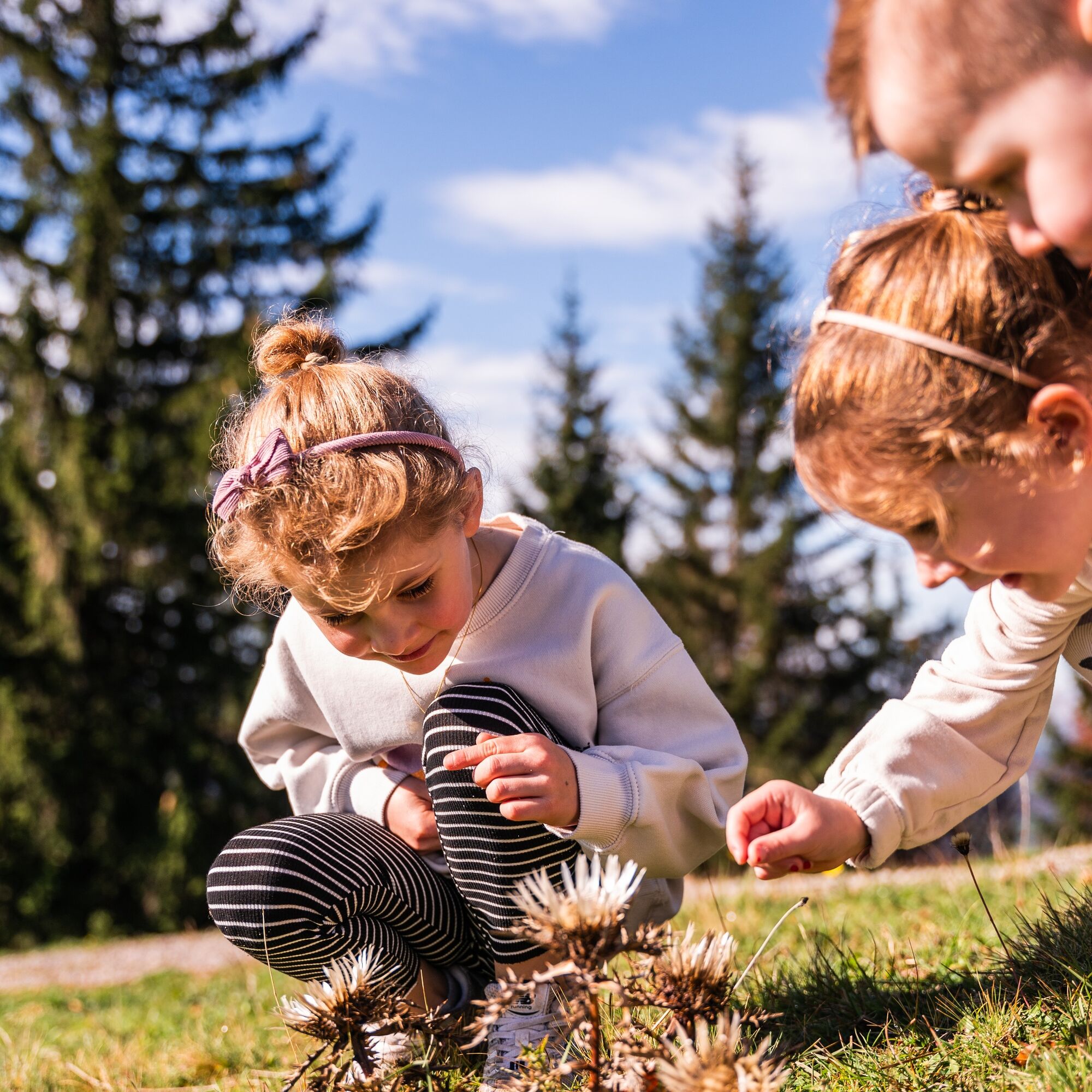
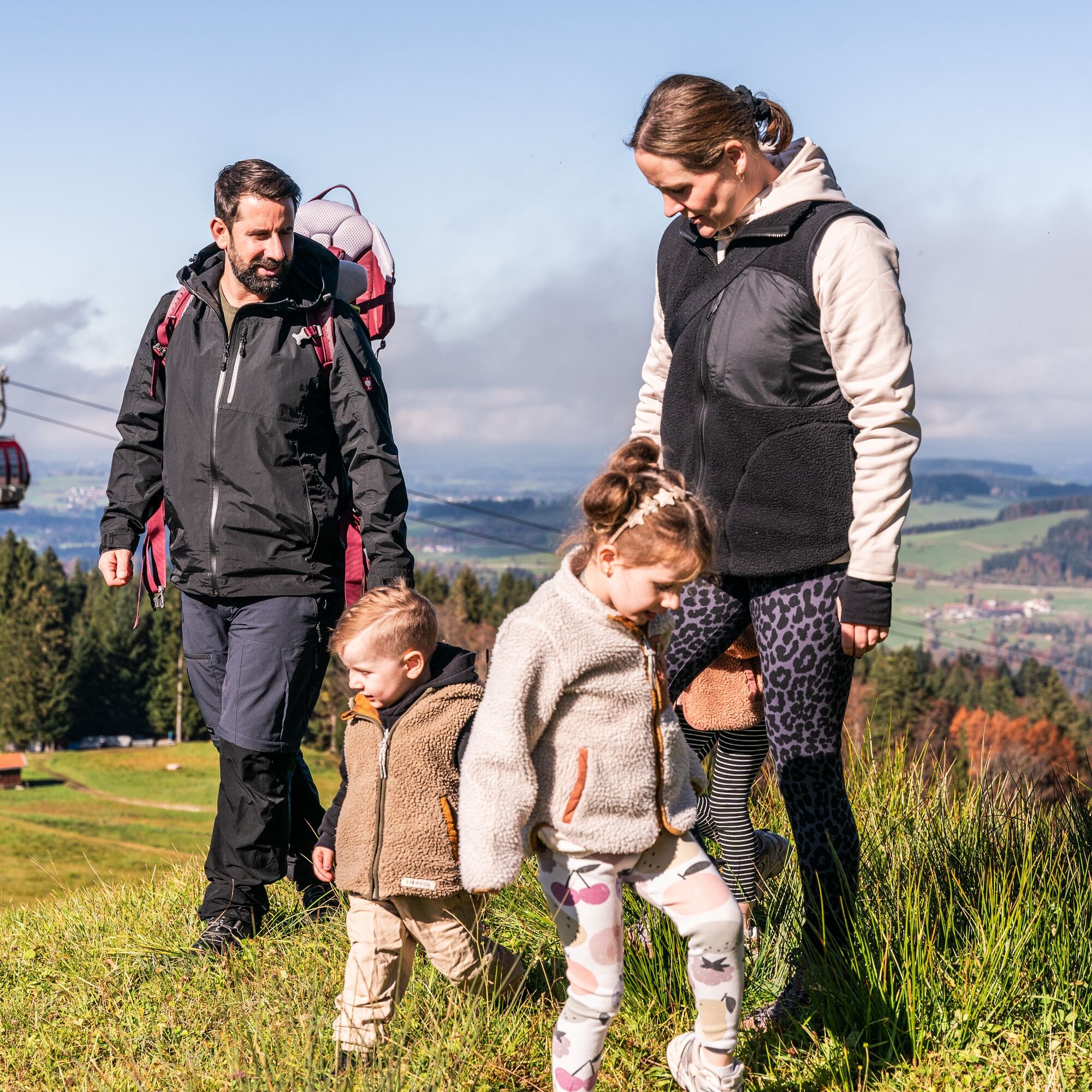

From the mountain station of the Imbergbahn, initially go west through a forest. At its end, the circular hiking trail begins and you follow the signage of the alpine adventure path. Above Alpe Hochbühl, the trail goes sometimes uphill, sometimes downhill over Alpe Häusslers Gschwend. You repeatedly come across stations that provide information about the region and alpine farming. At the next fork after Alpe Glutschwanden, turn left and cross the raised bog to the other side of the high plateau. At Alpe Hochwies, a path branches off downhill, which you follow. It goes down to Lanzenbach and across a bridge you meet a paved road a few hundred meters further, on which in summer a bus shuttles between the Imberg mountain station and Alpe Hörmoos. Turning left, it now goes steeply uphill again on a hiking trail to Alpe Hochbühl. From here a short stretch on the road until you return to the starting point through the forest on the right-hand side.
Tak
Tak
Tak
Tak
Via the B 308 to Oberstaufen and further to Steibis until the Imbergbahn
From the train station by guest bus to Steibis
Parking at the Imbergbahn
 Uzyskaj wgląd
Zawsze na żywo z ponad 9 500 kamer internetowych. bergfex Jako użytkownik Pro, możesz teraz zobaczyć odpowiednie kamery internetowe dla wielu wycieczek w aplikacji wycieczki od. Pozwala to na bezpośredni podgląd aktualnych warunków.
Uzyskaj wgląd
Zawsze na żywo z ponad 9 500 kamer internetowych. bergfex Jako użytkownik Pro, możesz teraz zobaczyć odpowiednie kamery internetowe dla wielu wycieczek w aplikacji wycieczki od. Pozwala to na bezpośredni podgląd aktualnych warunków.
Popularne wycieczki w okolicy
-
5,0
Winterstaude
średniWędrówka 9,30 km -
4,5
Hittisau | Wasserwanderweg
światłoTrasa tematyczna 7 km -
4,6
Steibis - Buchenegger Waterfalls
średniWędrówka 6,47 km -
4,7
Rindalphorn und Hochgrat
średniWędrówka 15,6 km -
5,0
Nagelfluh ridge route Hochgrat - Mittag
ciężkiWędrówka 14,0 km -
4,8
Panoramarundweg Baumgarten - Niedere
światłoWędrówka 3,76 km -
4,5
Immenstädter Horn - Gschwender Horn
światłoWędrówka 10 km -
3,5
Rundtour Mittag
światłoWędrówka 15,7 km -
4,5
Grasgehren - Riedberger Horn - Berghütte Grasgehren
światłoWędrówka 4,51 km -
4,3
Circular route Steibis to Dreiländerblick
średniWędrówka 7,95 km

Wędrówki i tropienie


Nie przegap ofert i inspiracji na następne wakacje
Twój adres e-mail została dodana do listy mailingowej.





