







Grählweg at the Calvary
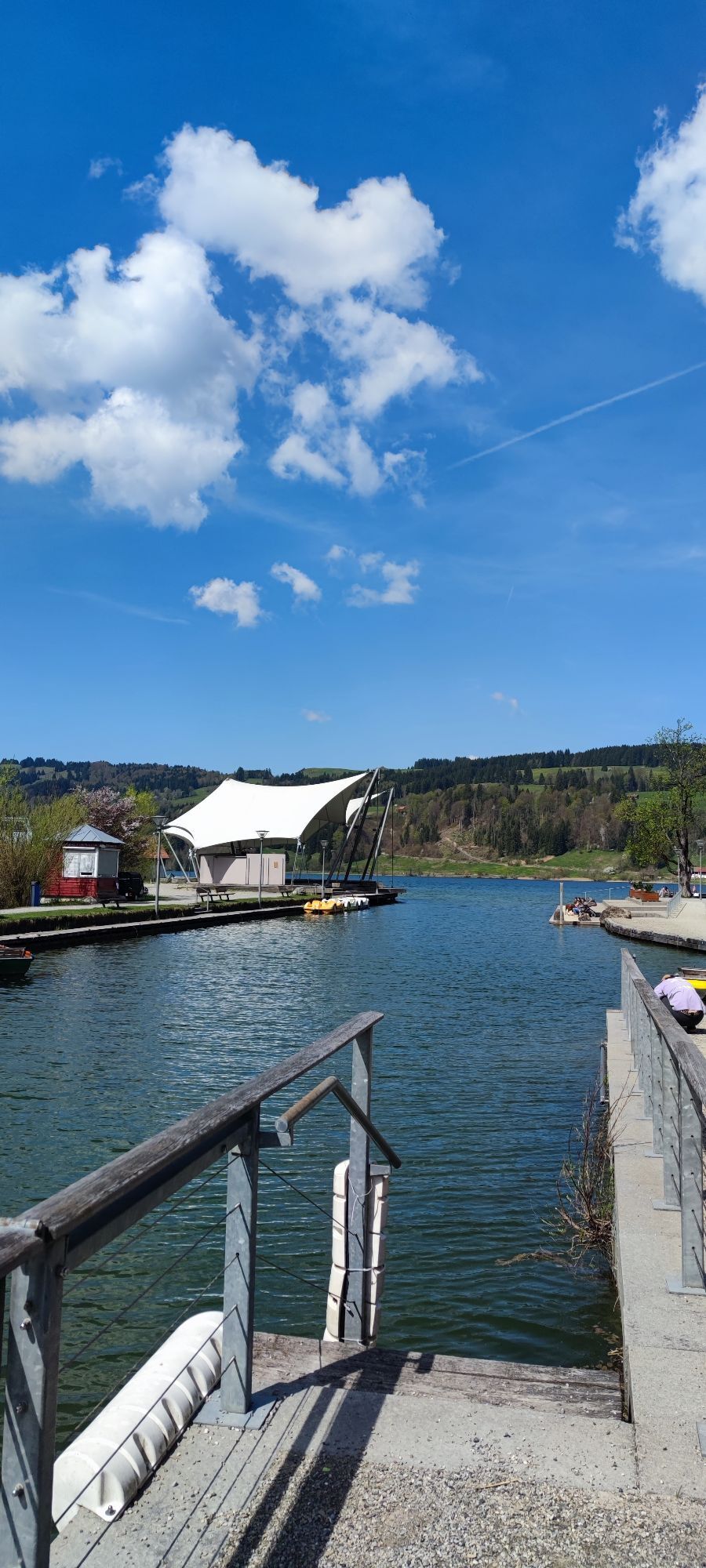
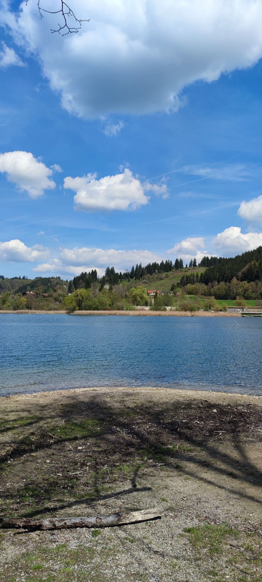
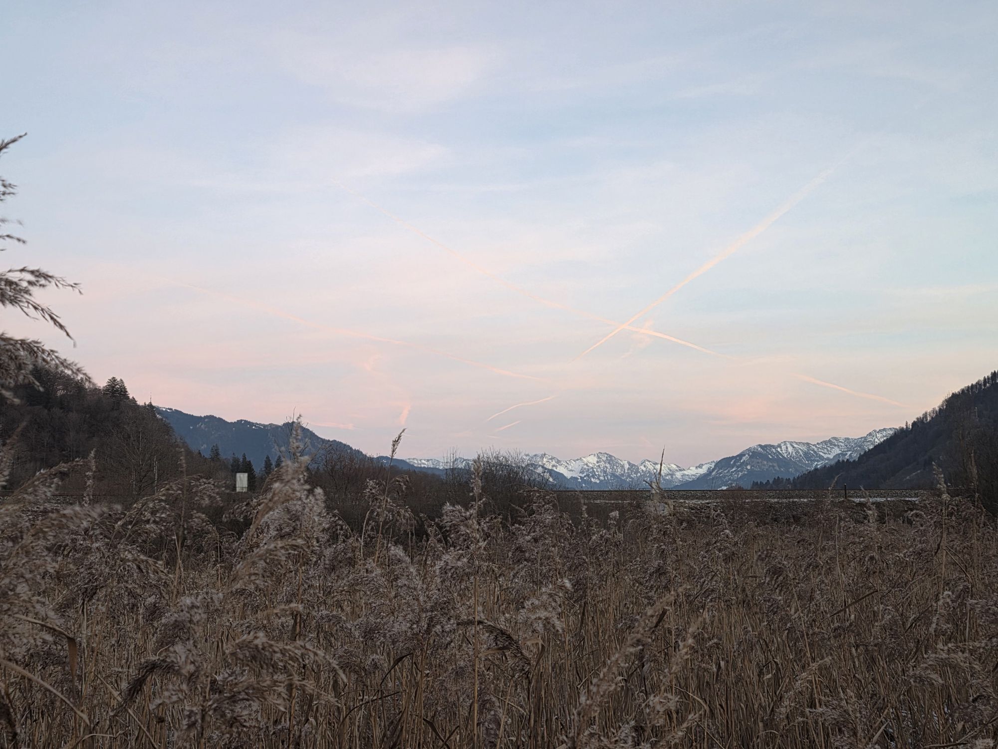
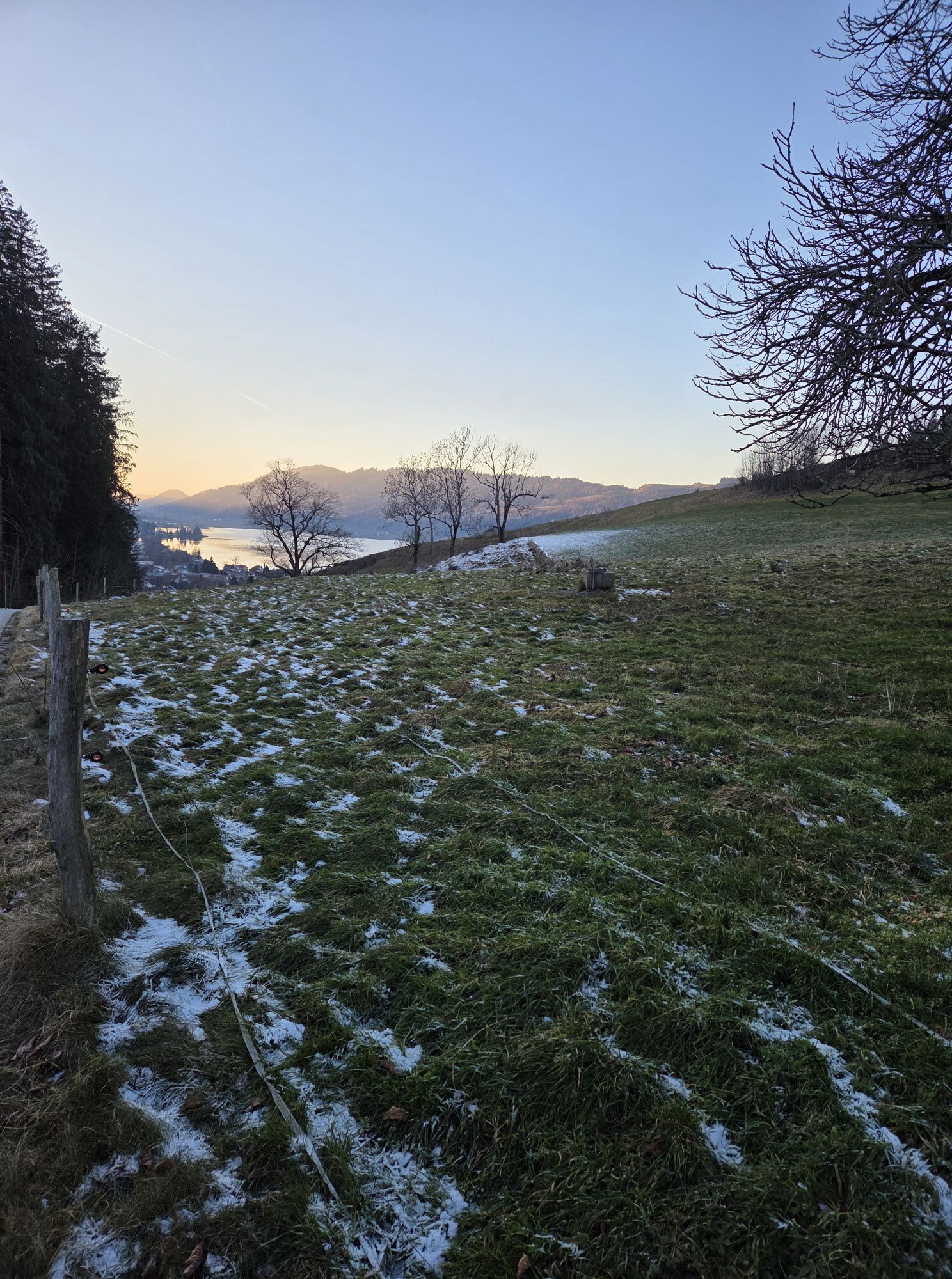
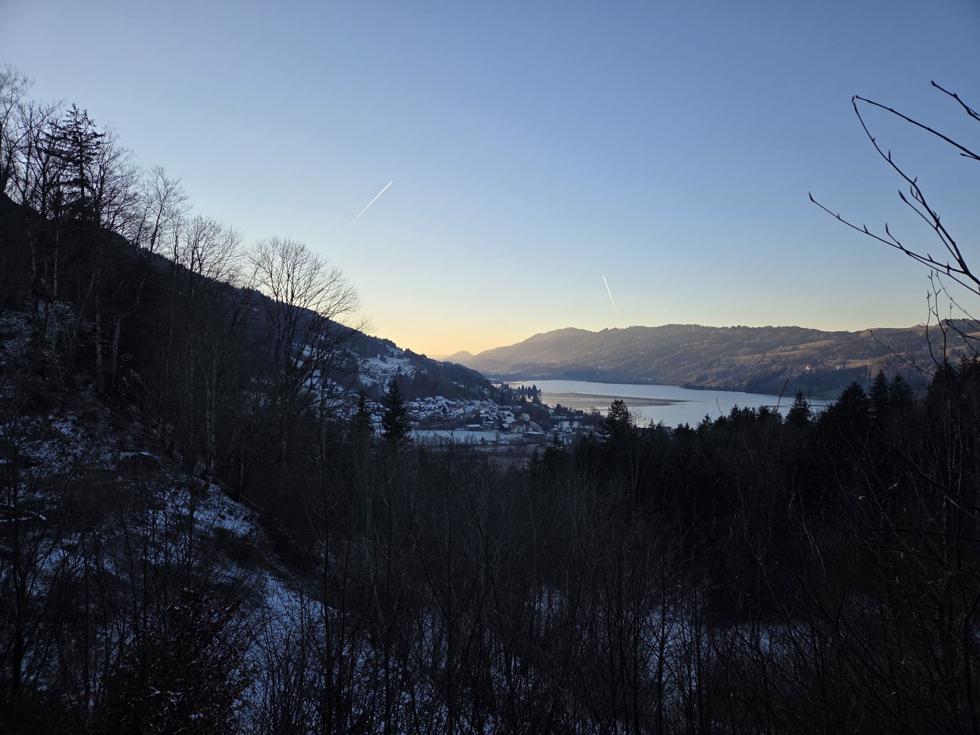
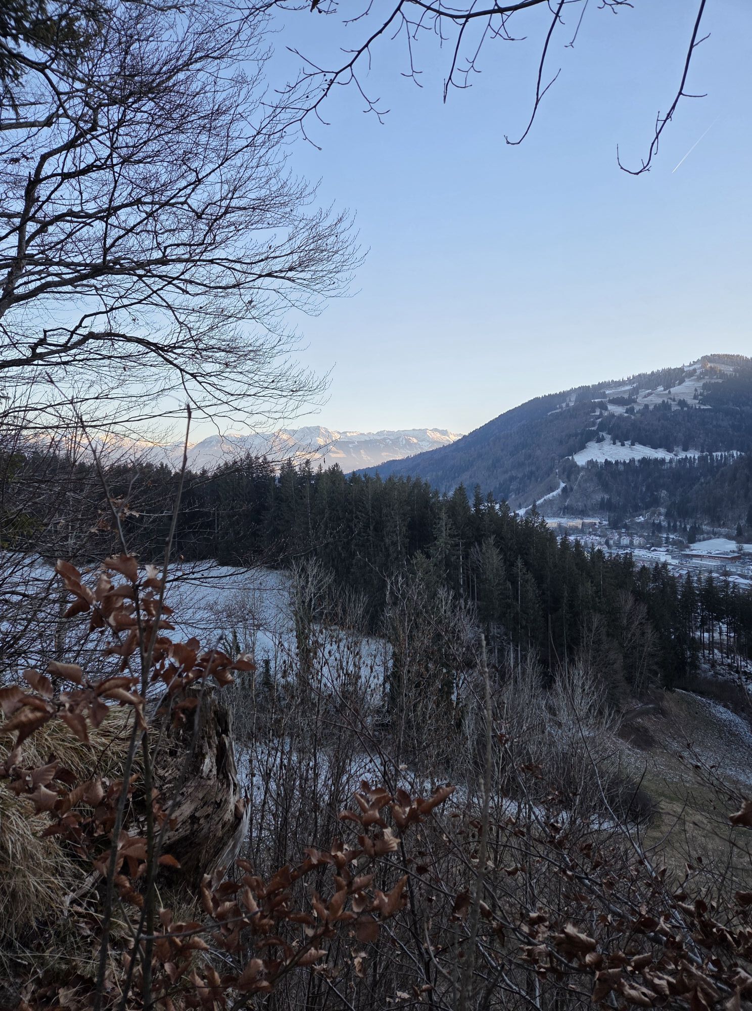
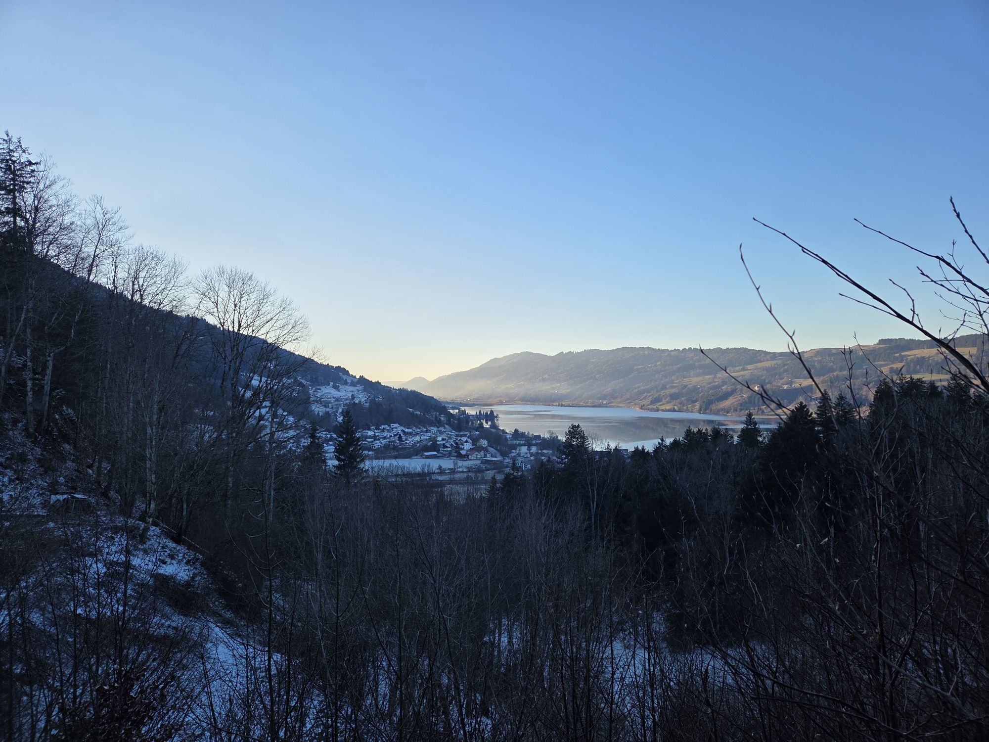
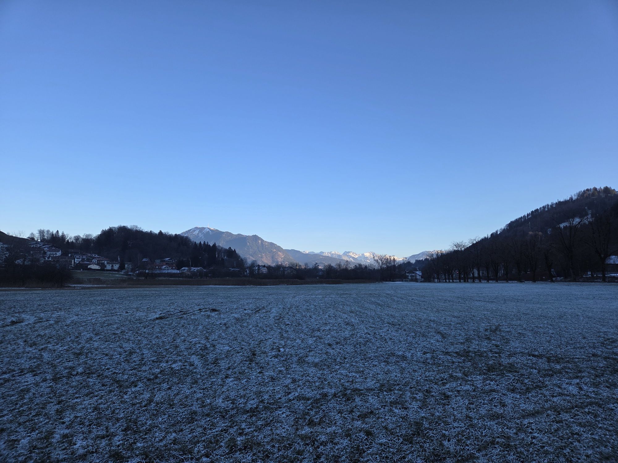
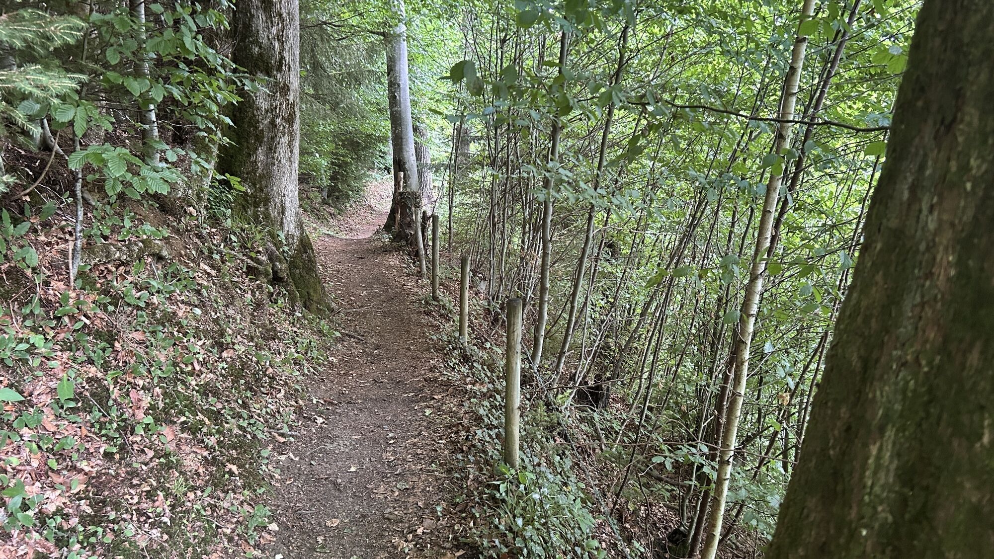
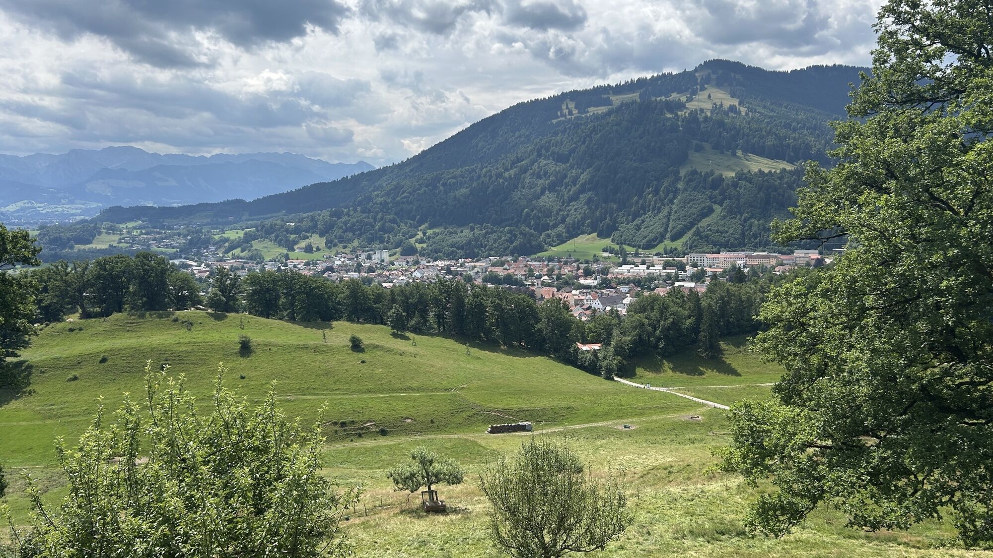
This hike, which is close to the town and offers great views, leads to the Calvary in Immenstadt. The starting point is the "Viehmarktplatz" parking lot. From there, cross the traffic circle on the left...
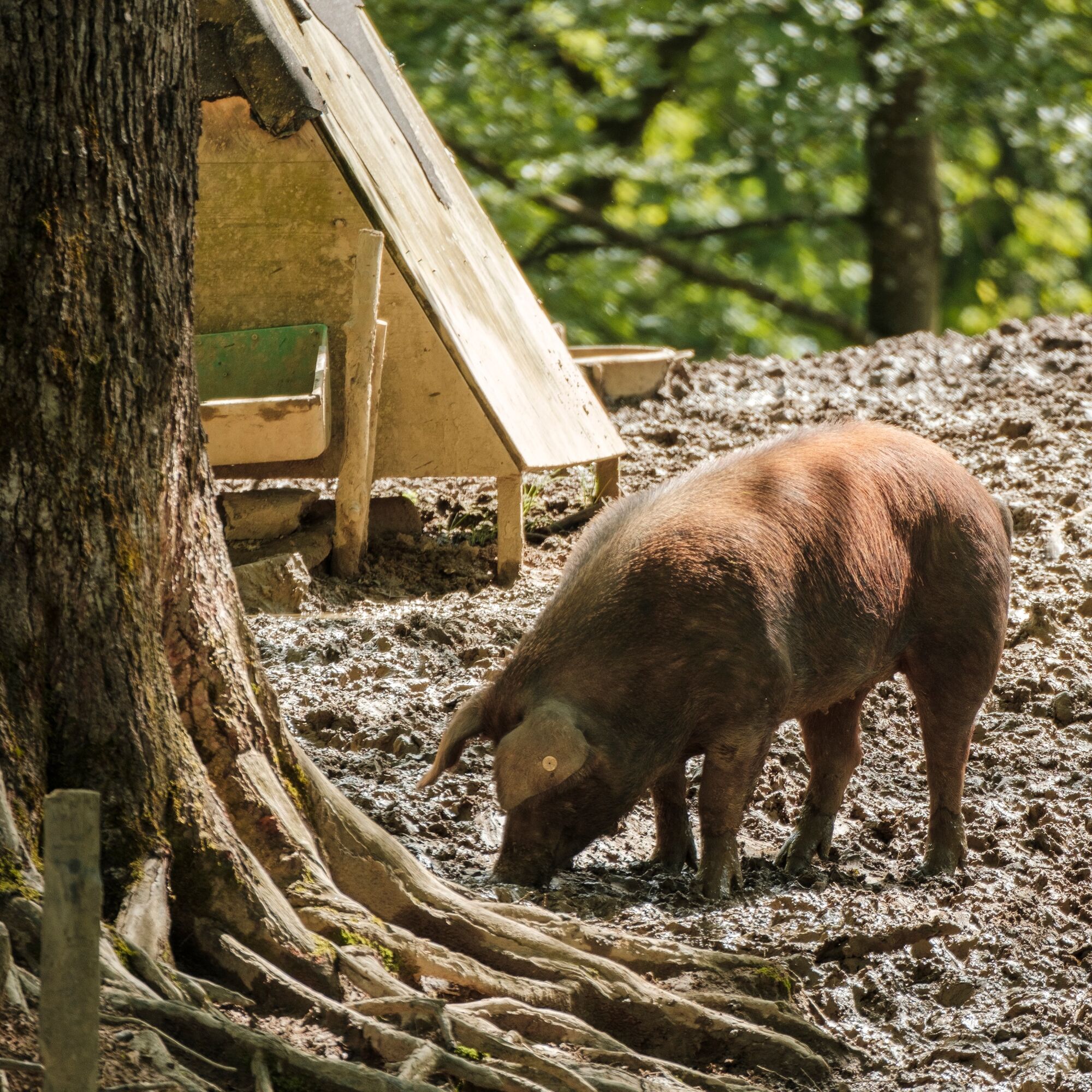
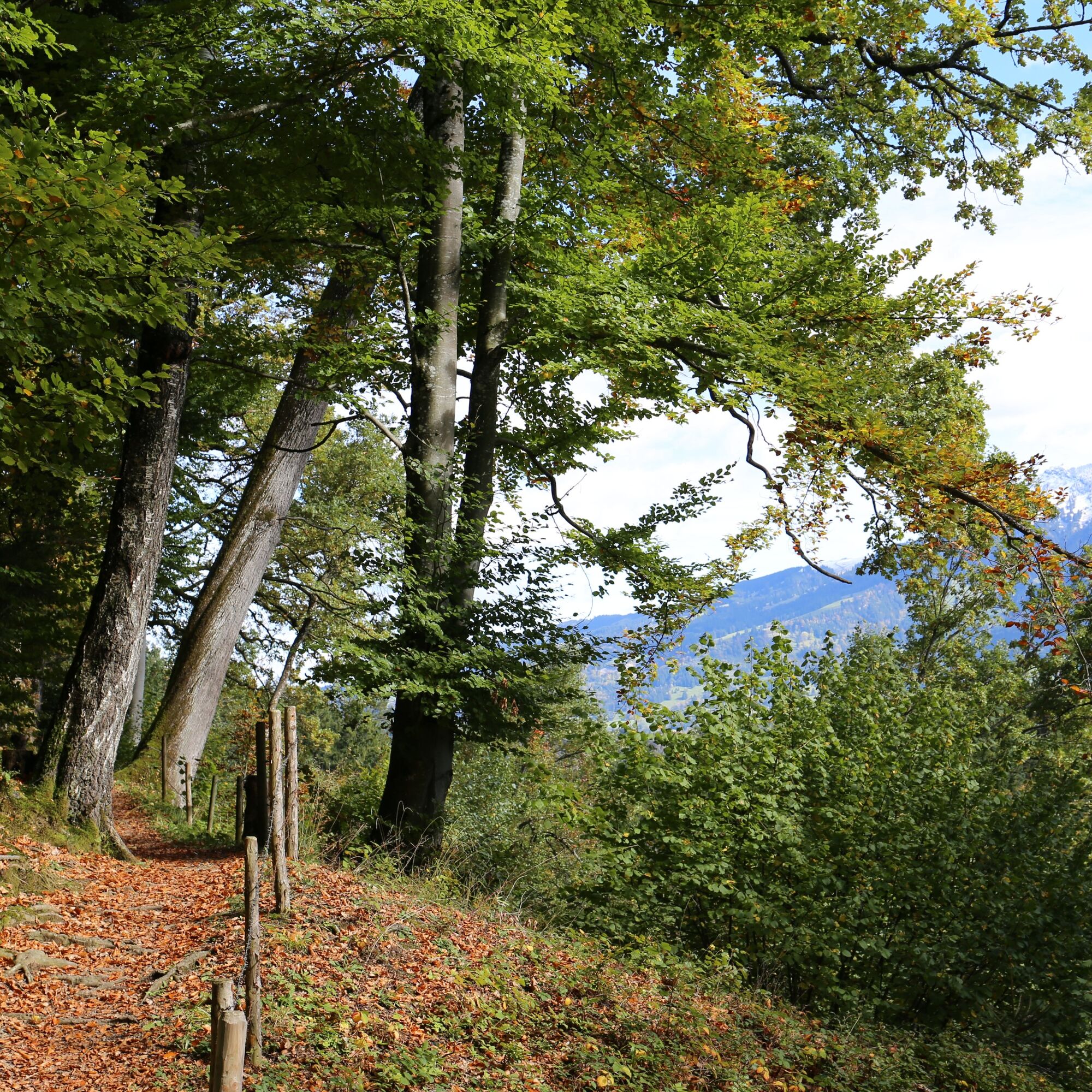
Pass the Hofgarten parking lot, cross a small bridge and turn left into Kalvarienbergstraße. This runs steeply uphill and continues via steps into the oak forest. The path leads along the enclosure of the Allgäu acorn-fed pigs to a hut at a clearing in the meadow.
Continue straight ahead across the meadows, past the Stadtalpe with free-range chickens, rabbits and pot-bellied pigs. Follow the signs towards Stein until you reach a tractor path shortly afterwards. Walk uphill on this to the left. Before a large gate at the edge of the forest, the stony "Grählweg" branches off to the left, named after Ludwig Grähl.
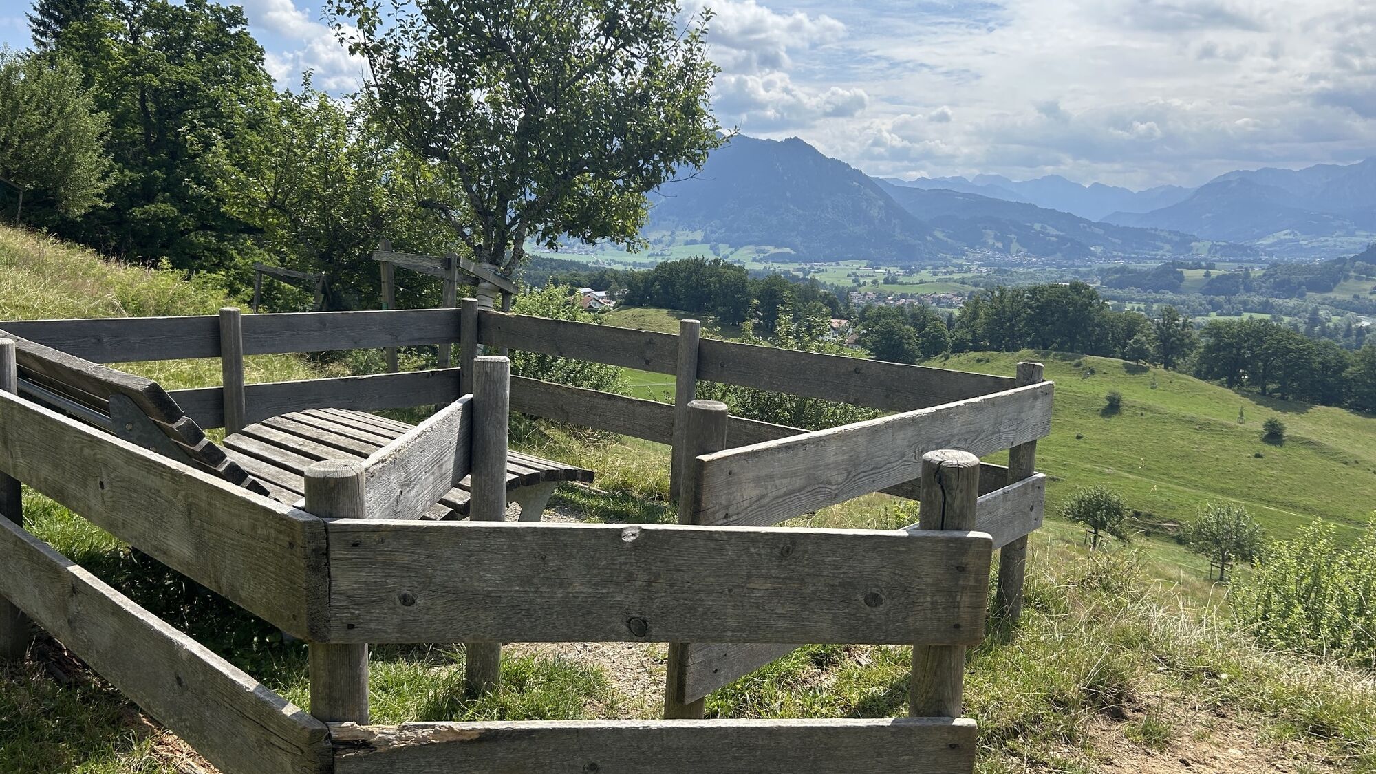
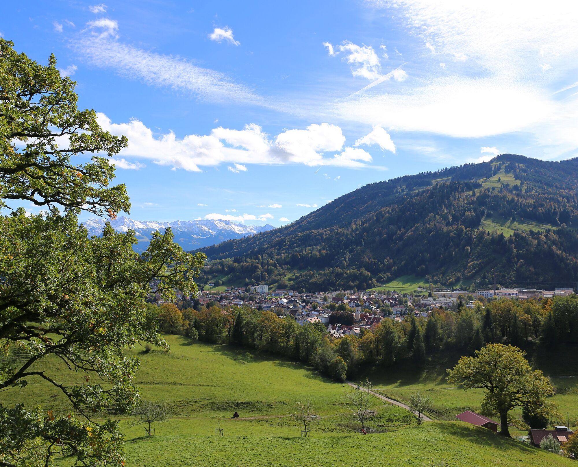
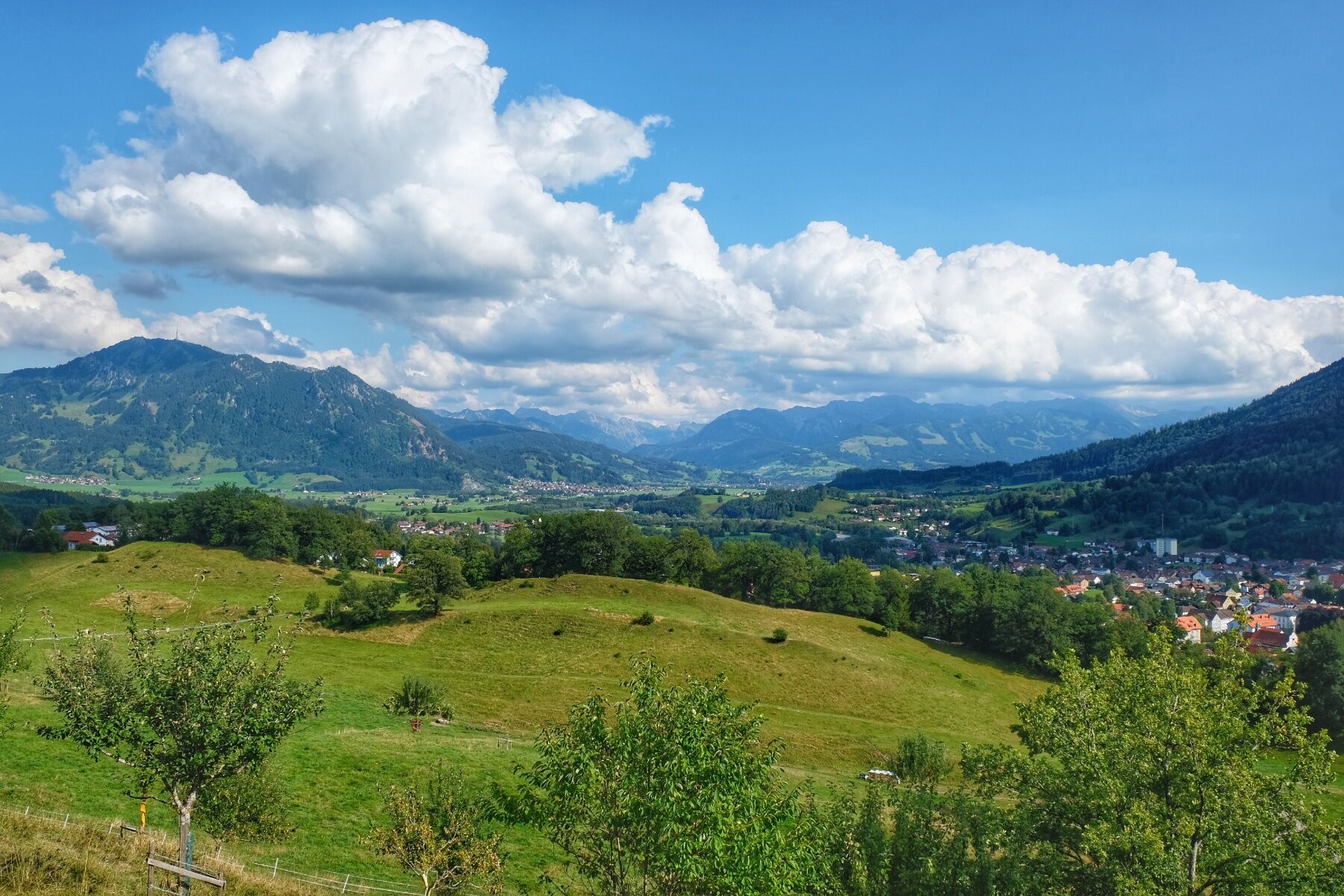
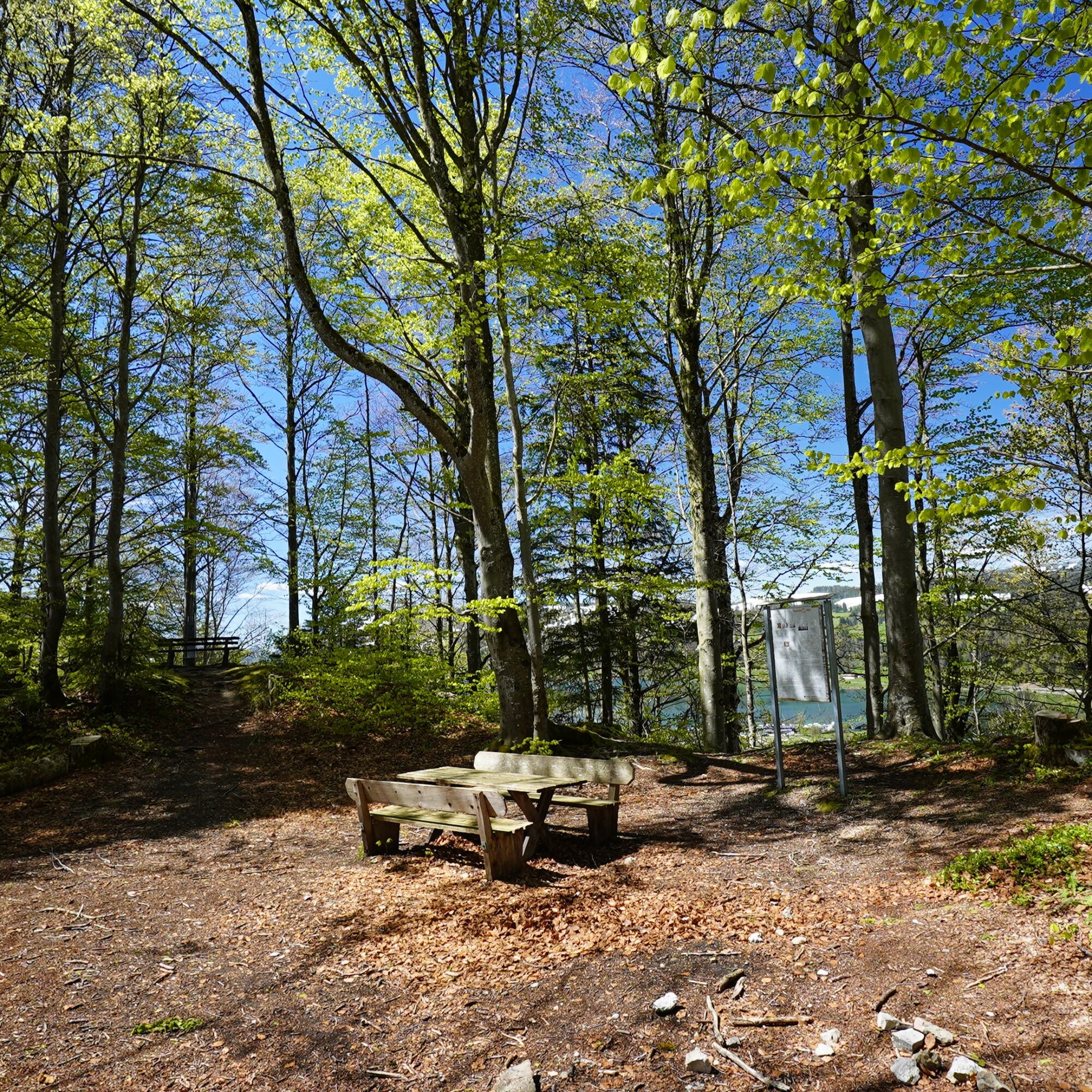
At the vantage point with relaxing loungers, you have a wide view of the Allgäu mountains and the residential town of Immenstadt, as well as places such as Blaichach, Rettenberg, Burgberg and Sonthofen - a typical Alpsee-Grünten panorama.
The trail continues in the direction of Bühl am Alpsee. The Rothenfels estate is reached via forest and meadow paths. From there, the Hugofels and Rothenfels ruins are accessible, both offering insights into Immenstadt's history and beautiful viewpoints.
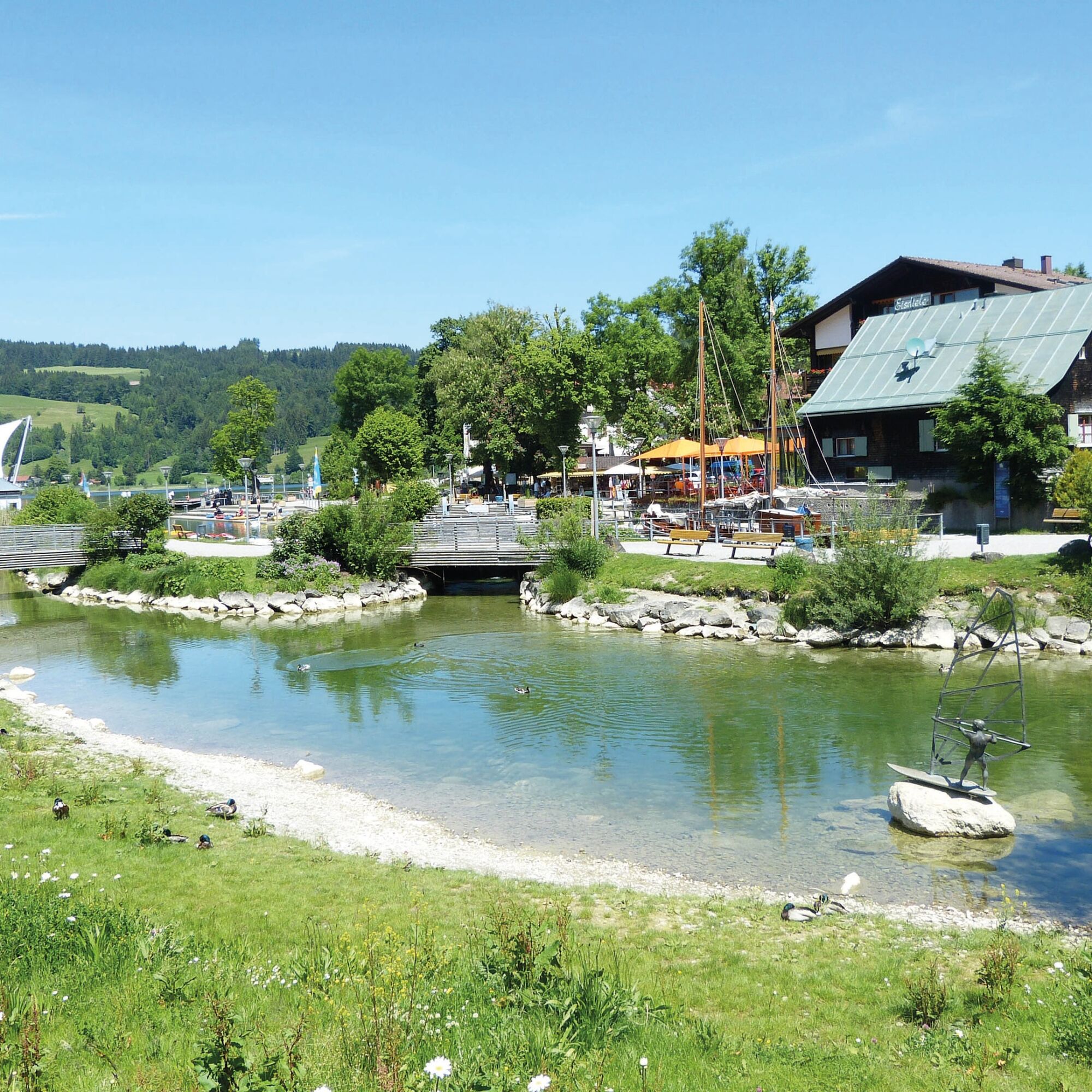
The asphalt road then leads downhill with a view of the Großer Alpsee lake. The route continues via an underpass to Bühl (In der Hub / Fischerweg). The path leads past the Bühl harbour with its lakeside promenade and close to the Nagelfluhkette Nature Park Center.
The way back is via the bathing path along the Konstanzer Ach back to the Viehmarktplatz.
Note: The tour is available free of charge as a printed tour map from the Alpsee-Grünten tourist information offices.


Tak
Alternatively also accessible by car.
Take the train to Immenstadt station. From there, it's just a few minutes' walk to Viehmarktplatz, the starting point of the hike.
Did you know?
All Immenstadt vacation guests receive the Mobil Pass Allgäu from their host, which means that this hike can be reached free of charge by public transport.
Parking is available directly on the Viemarktplatz Immenstadt.
Uzyskaj wgląd
Zawsze na żywo z ponad 9 500 kamer internetowych. bergfex Jako użytkownik Pro, możesz teraz zobaczyć odpowiednie kamery internetowe dla wielu wycieczek w aplikacji wycieczki od. Pozwala to na bezpośredni podgląd aktualnych warunków.
Popularne wycieczki w okolicy
-
4,7
Steibis - Buchenegger Waterfalls
średniWędrówka 6,47 km -
3,9
Klassikertour: Auf den Grünten
ciężkiWędrówka 8,50 km -
4,4
Wanderung auf den grünten
średniWędrówka 8,31 km -
4,3
Starzlachklamm
średniWędrówka 5,30 km -
4,2
Hirschberg 1456 m
średniWędrówka 8,28 km -
4,7
Von Obergschwend auf Wertacher Hörnle
średniWędrówka 10,0 km -
5,0
Nagelfluh ridge route Hochgrat - Mittag
ciężkiWędrówka 14,0 km -
4,7
Rindalphorn und Hochgrat
średniWędrówka 15,6 km -
4,5
Wertacher Hörnle
średniWędrówka 12,4 km -
4,9
Immenstädter Horn
światłoWędrówka 9,35 km
Wędrówki i tropienie


Nie przegap ofert i inspiracji na następne wakacje
Twój adres e-mail została dodana do listy mailingowej.





