


Panorama route: From Imberg to Dreiländerblick
Poziom trudności: T2


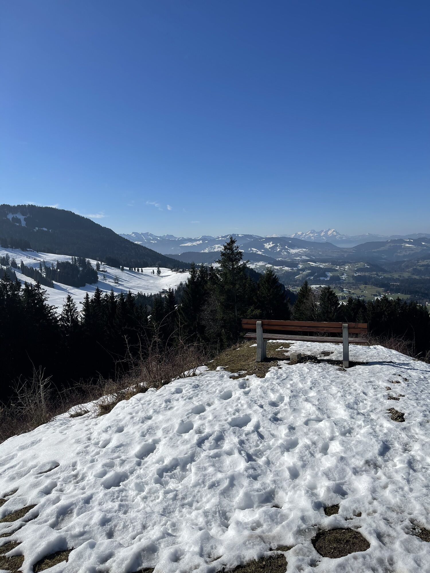
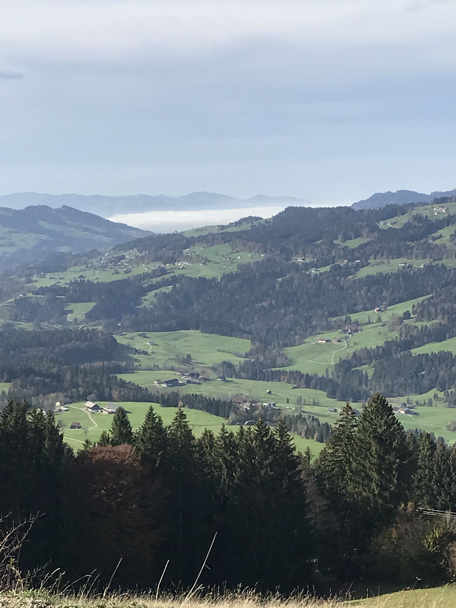
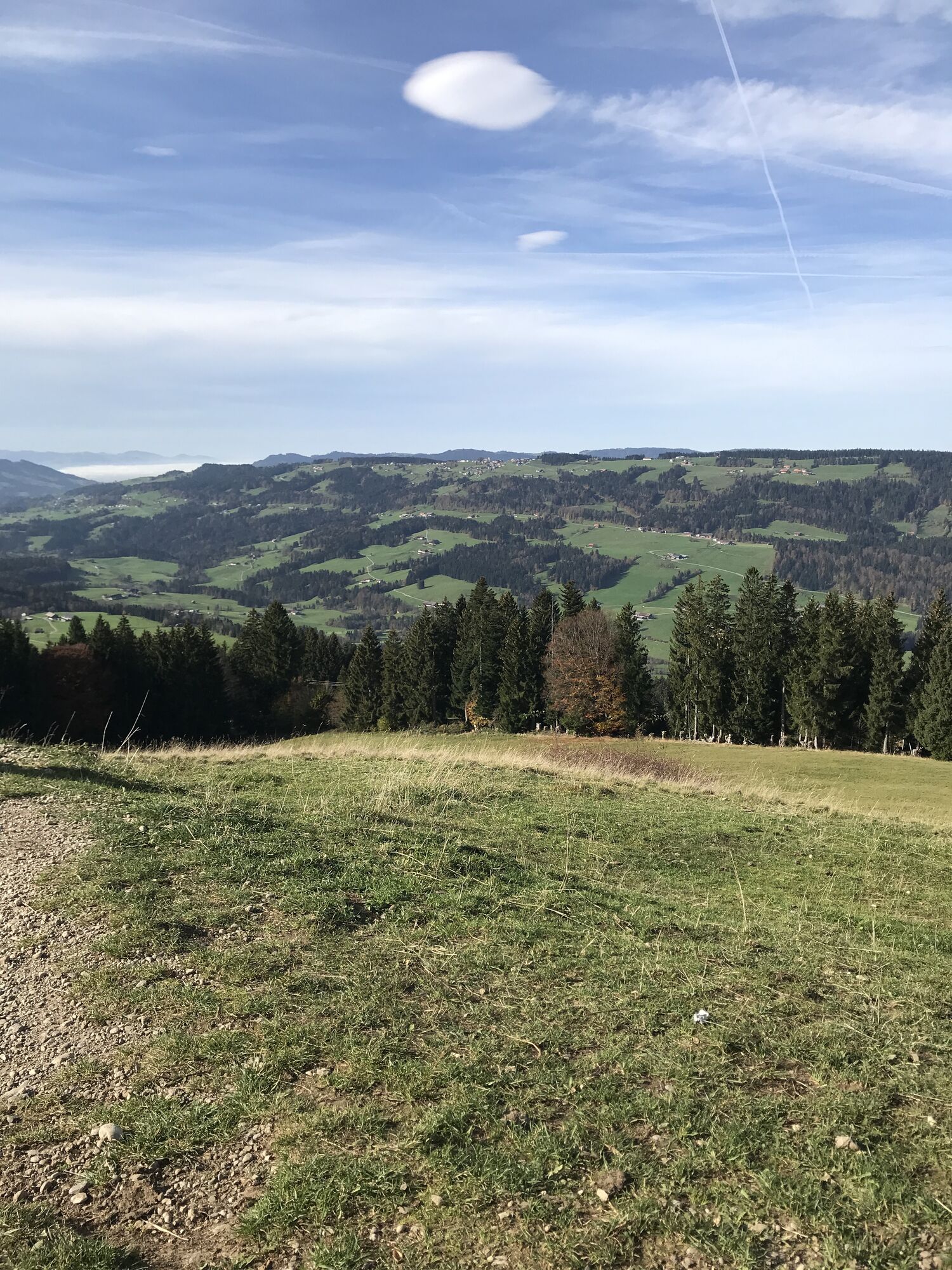
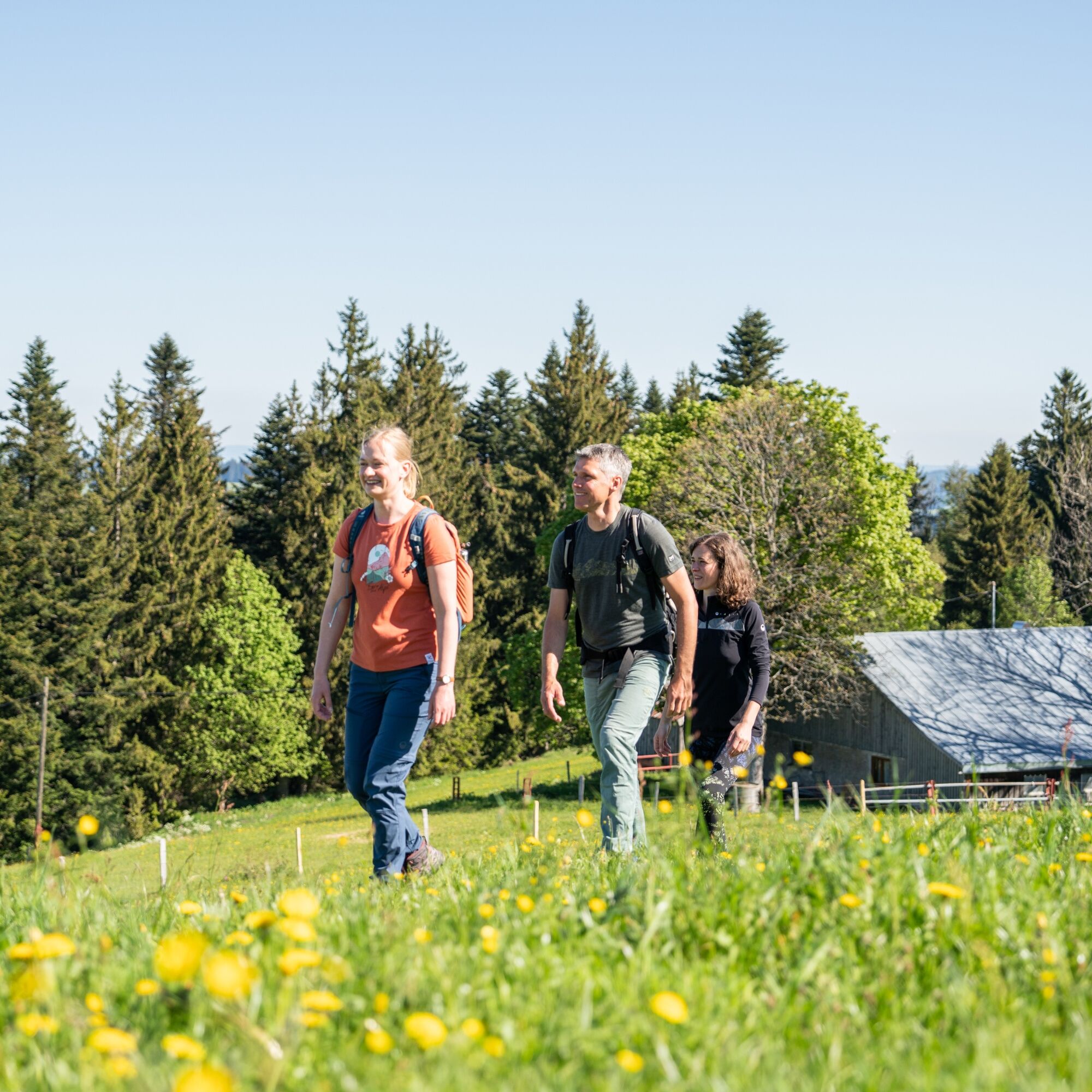
Few meters of ascent (but 450 meters of descent) promise a relatively relaxed route with beautiful views of the Nagelfluh ridge and the Dreiländereck. Opportunities to stop for refreshments at the mountain...
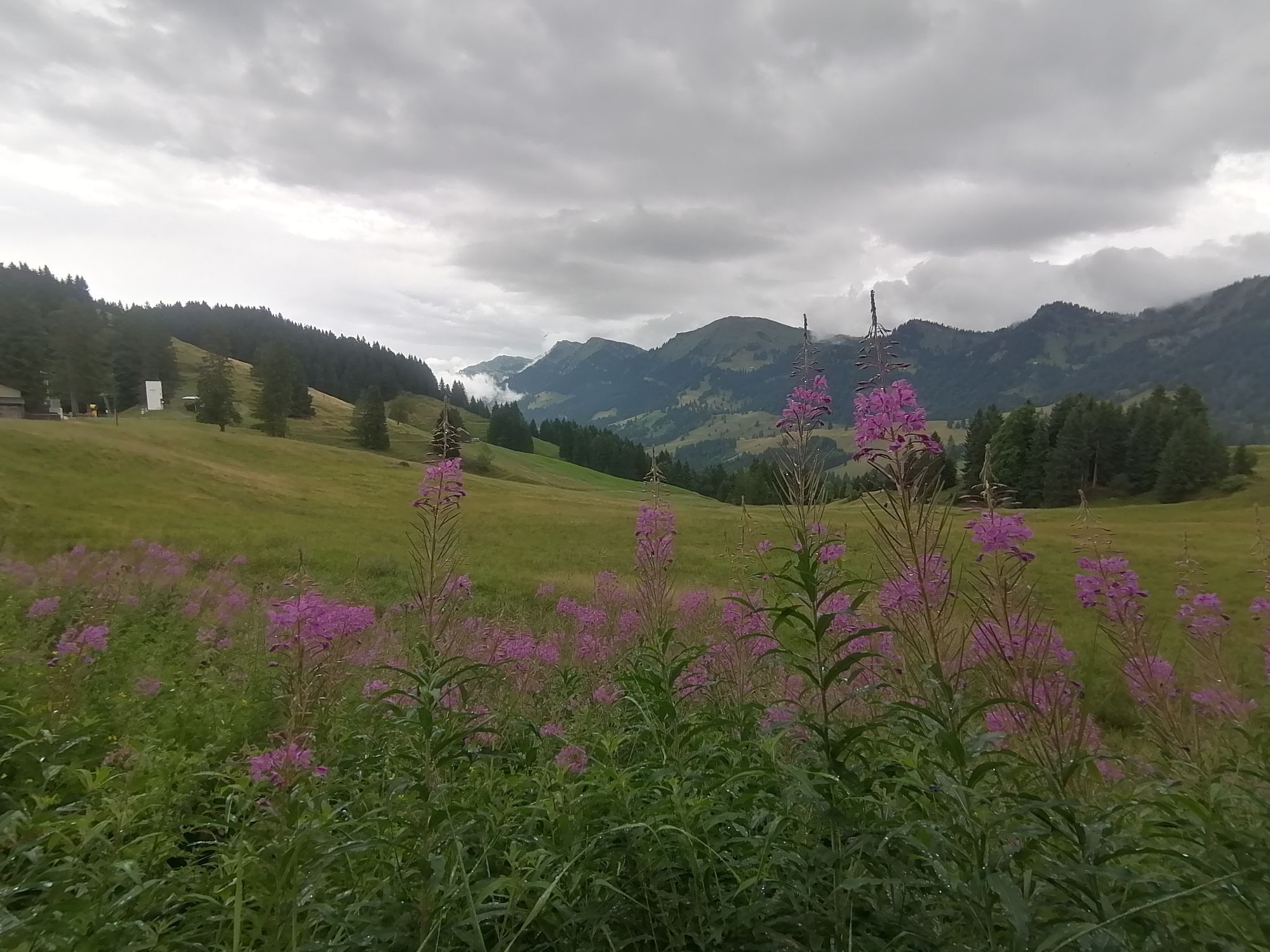
Few meters of ascent (but 450 meters of descent) promise a relatively relaxed route with beautiful views of the Nagelfluh ridge and the Dreiländereck. Opportunities to stop for refreshments at the mountain inn Vordere Fluh and in Schindelberg invite you to take a break; in Steibis, a visit to the mountain cheese dairy is recommended.

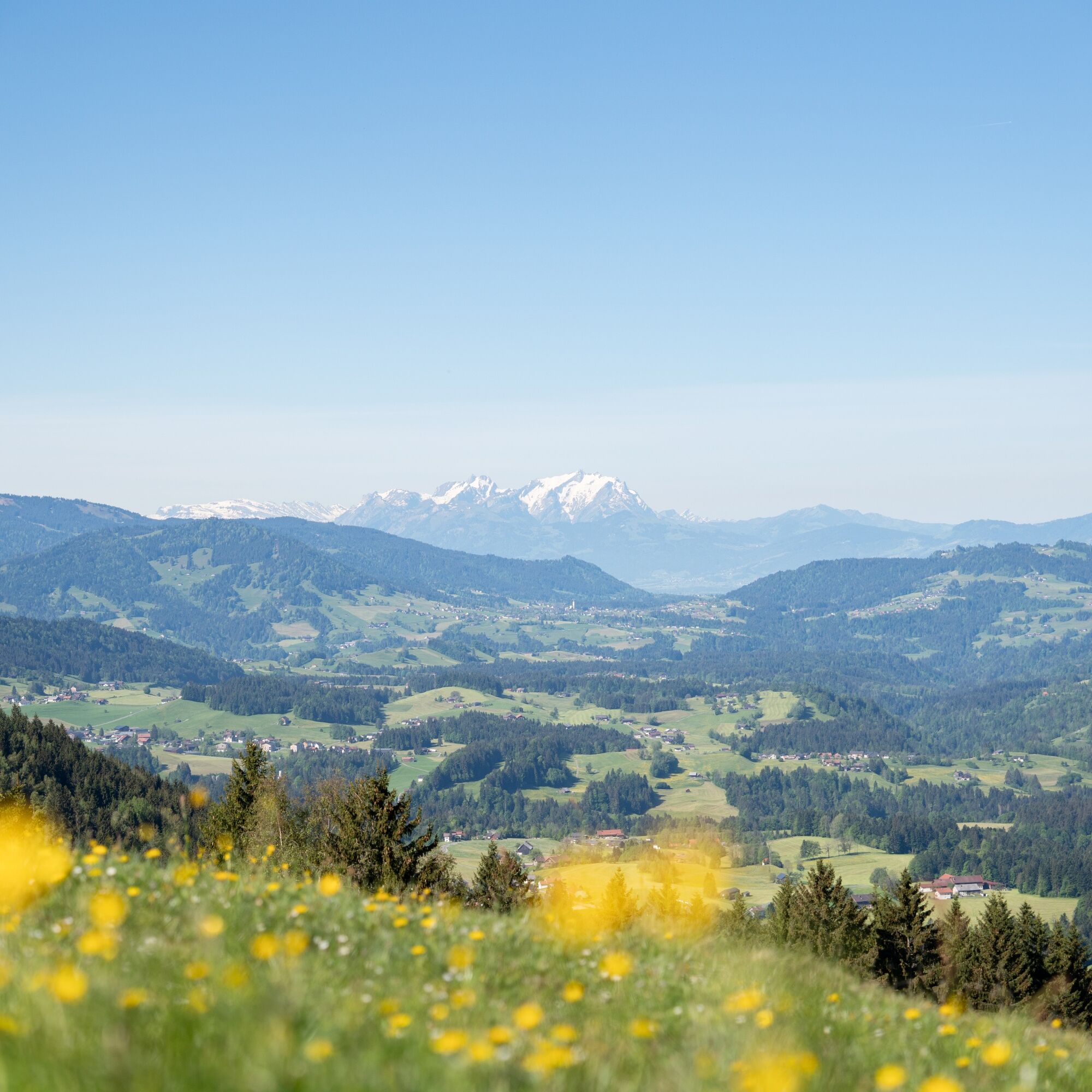

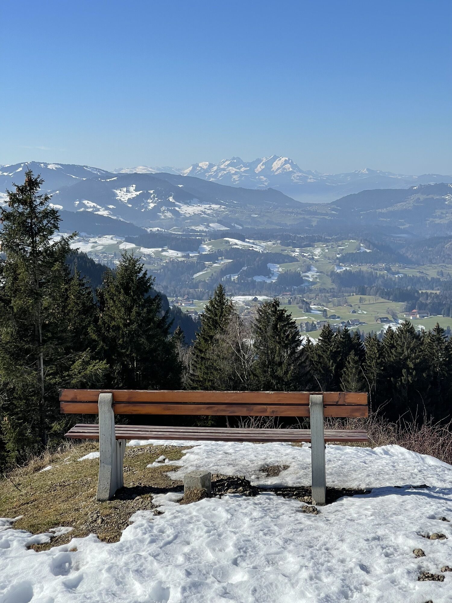
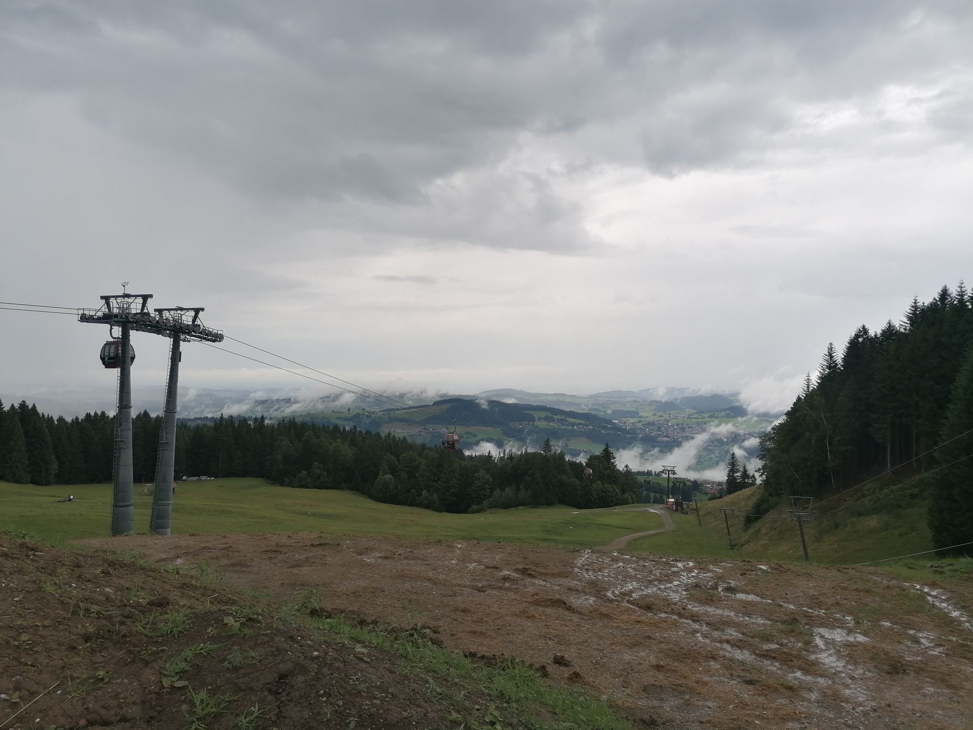
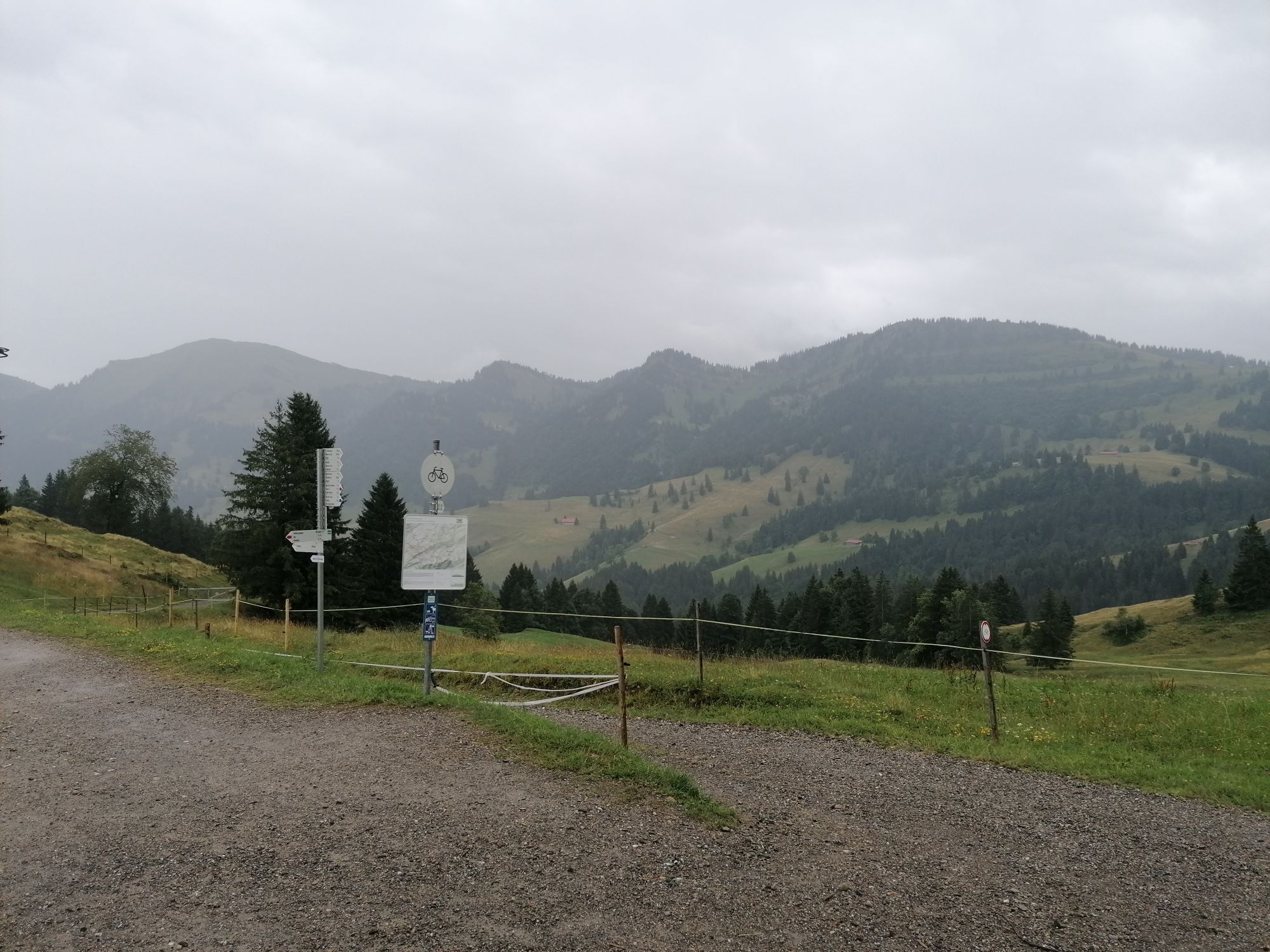
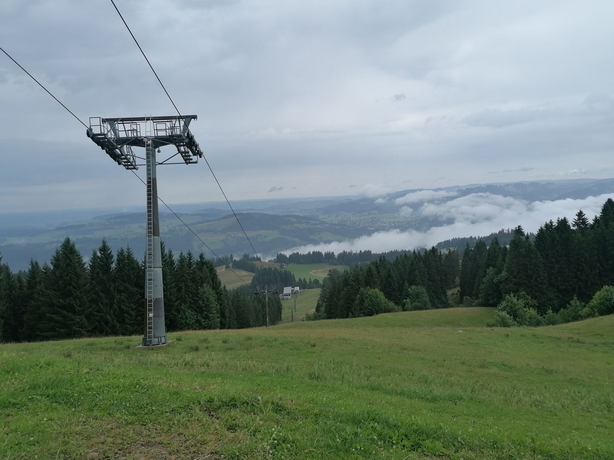
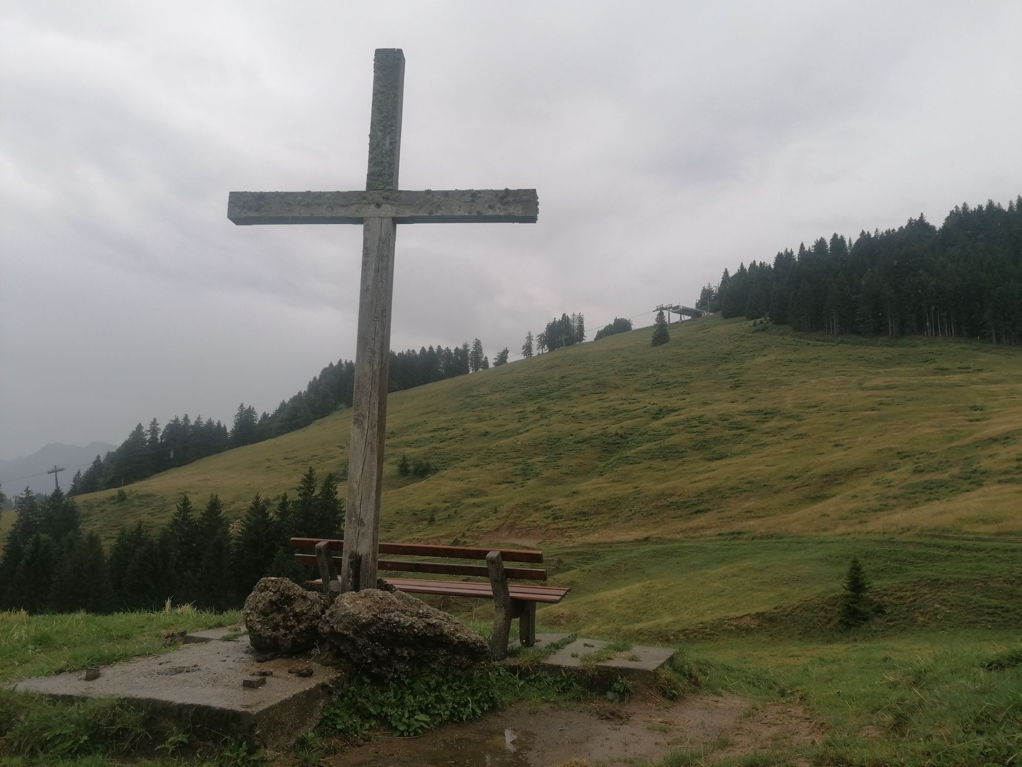
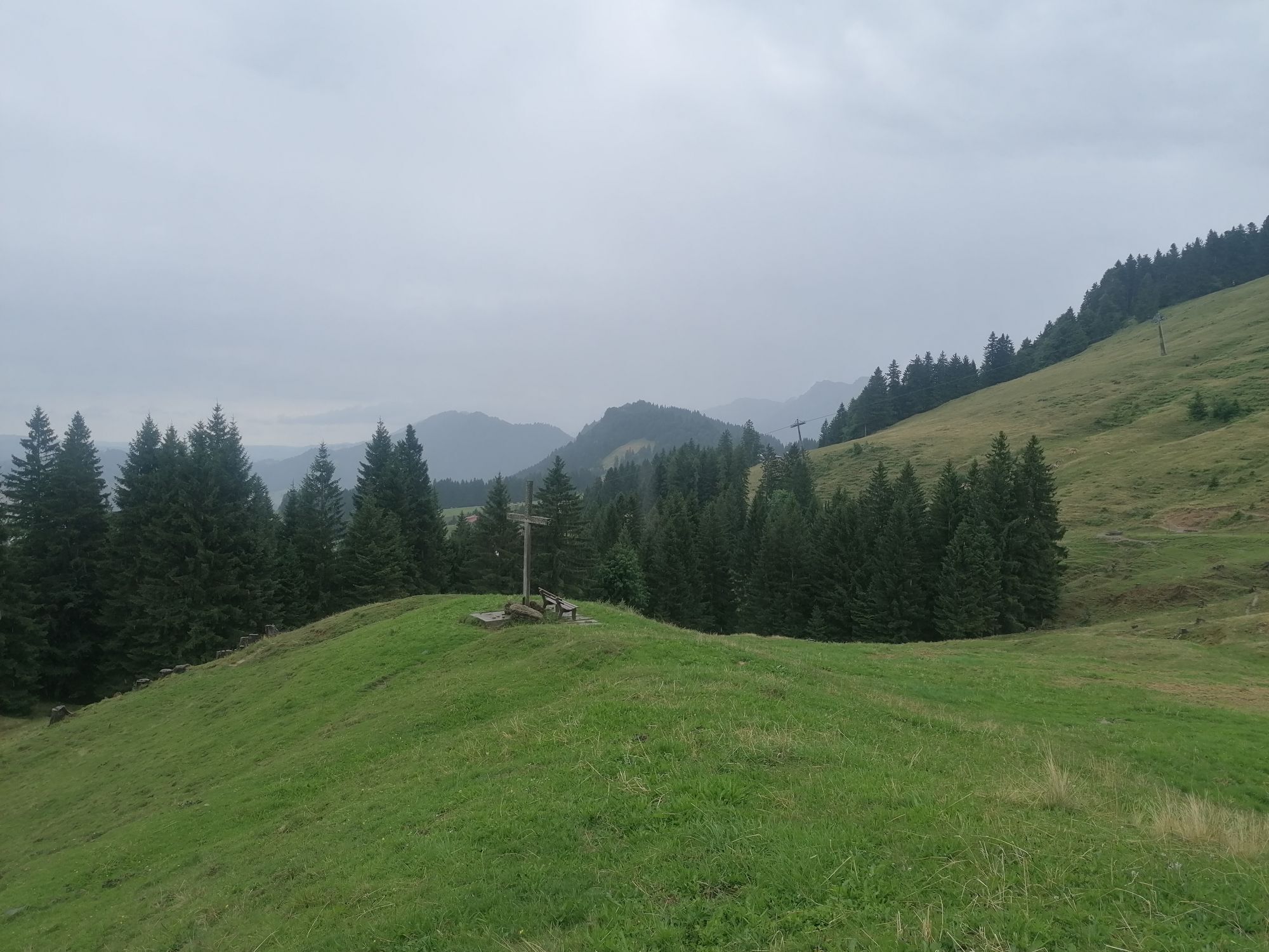
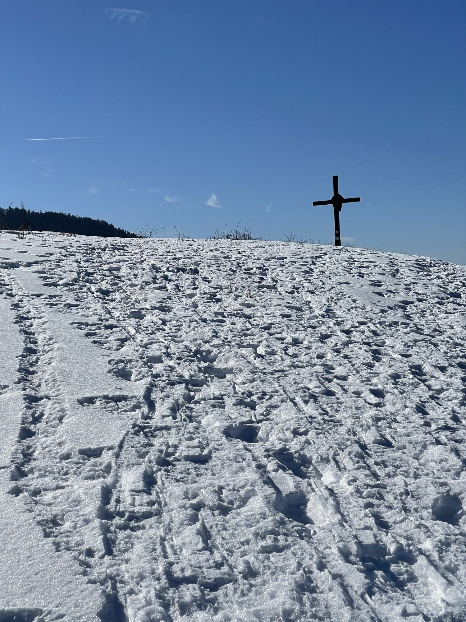
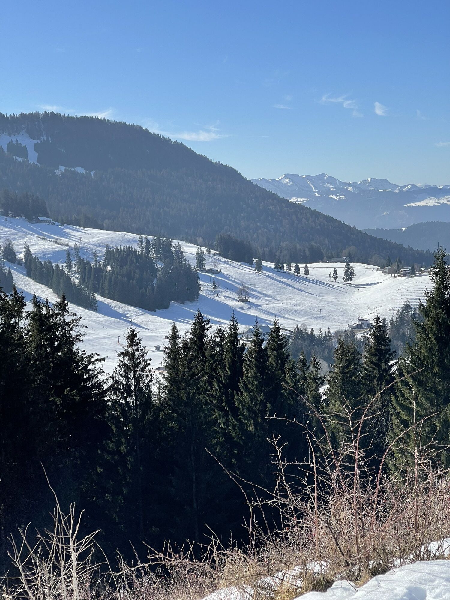
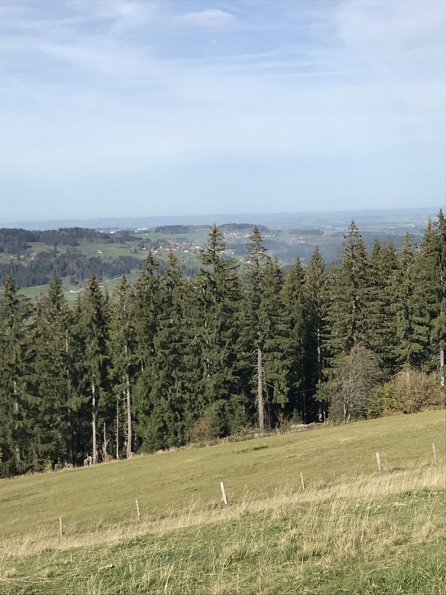
After the relaxed ascent, the route leads from the Imbergbahn upper station along the "Mounteens experience trail" to the mountain inn Vordere Fluh. The route continues down a path to the road that connects Hagspiel with Schindelberg and further along a beautiful natural path towards Dreiländerblick. From the summit, on clear days, there is a fantastic distant view as far as Säntis. Afterwards, a beautiful meadow path leads to Schindelberg (refreshment possibility). From here, via Steibis, back to the valley station of the Imbergbahn.
Tak
T2
Kamery internetowe z trasy
Alpenarena Hochhäderich
Hochgratbahn Bergstation
Oberstaufen
Skilifte Sinswang
Oberstaufen - Biohotel Schratt
Oberstaufen - Biohotel Schratt
Fluhexpress Berg
Alpe Hohenschwand
Oberstaufen
Oberstaufen
Oberstaufen
Oberstaufen
Oberstaufen
Oberstaufen - Rosenalp
Fluhexpress Bergstation
Hündlebahn Bergstation
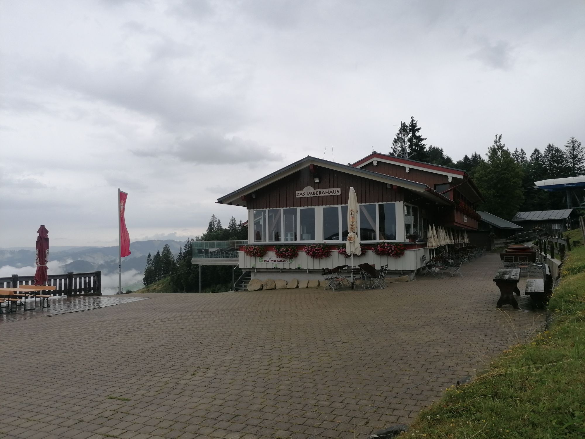
Imberghaus
Oberstaufen
Oberstaufen - Hörmoos
Alpenarena Hochhäderich


Popularne wycieczki w okolicy
- 4,7
Steibis - Buchenegger Waterfalls
średniWędrówka 6,47 km - 4,5
Hittisau | Wasserwanderweg
światłoTrasa tematyczna 7 km - 5,0
Winterstaude
średniWędrówka 9,30 km - 5,0
Nagelfluh ridge route Hochgrat - Mittag
ciężkiWędrówka 14,0 km - 4,8
Panoramarundweg Baumgarten - Niedere
światłoWędrówka 3,76 km - 4,7
Rindalphorn und Hochgrat
średniWędrówka 15,6 km - 3,7
Rundtour Mittag
światłoWędrówka 15,7 km - 5,0
Siedelalpe Runde von See - Immenstadt
światłoWędrówka 10,3 km - 4,5
Immenstädter Horn - Gschwender Horn
światłoWędrówka 10 km - 4,4
Circular route Steibis to Dreiländerblick
średniWędrówka 7,95 km
Wędrówki i tropienie


Nie przegap ofert i inspiracji na następne wakacje
Twój adres e-mail została dodana do listy mailingowej.