






In 3 day stages through the town area - Stage 3
Poziom trudności: T3
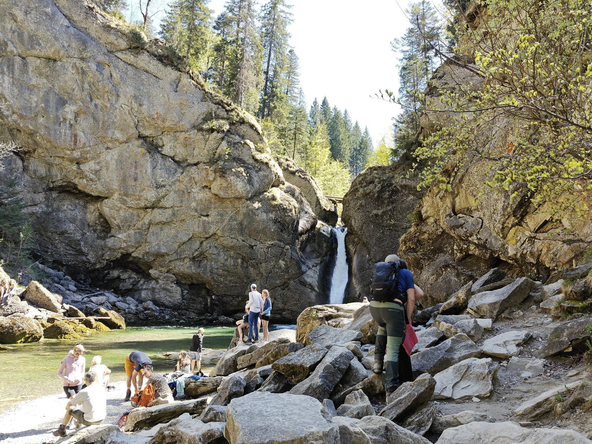
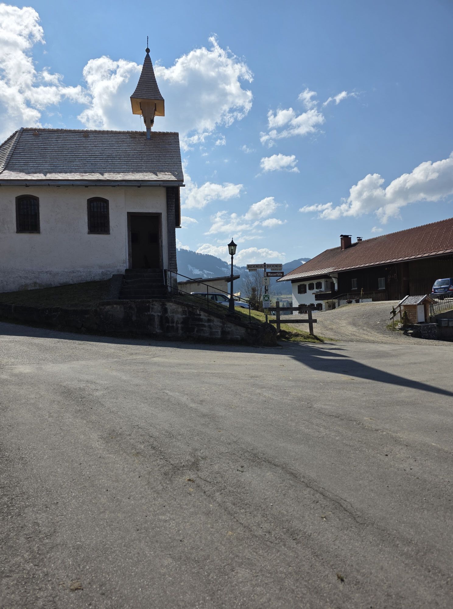
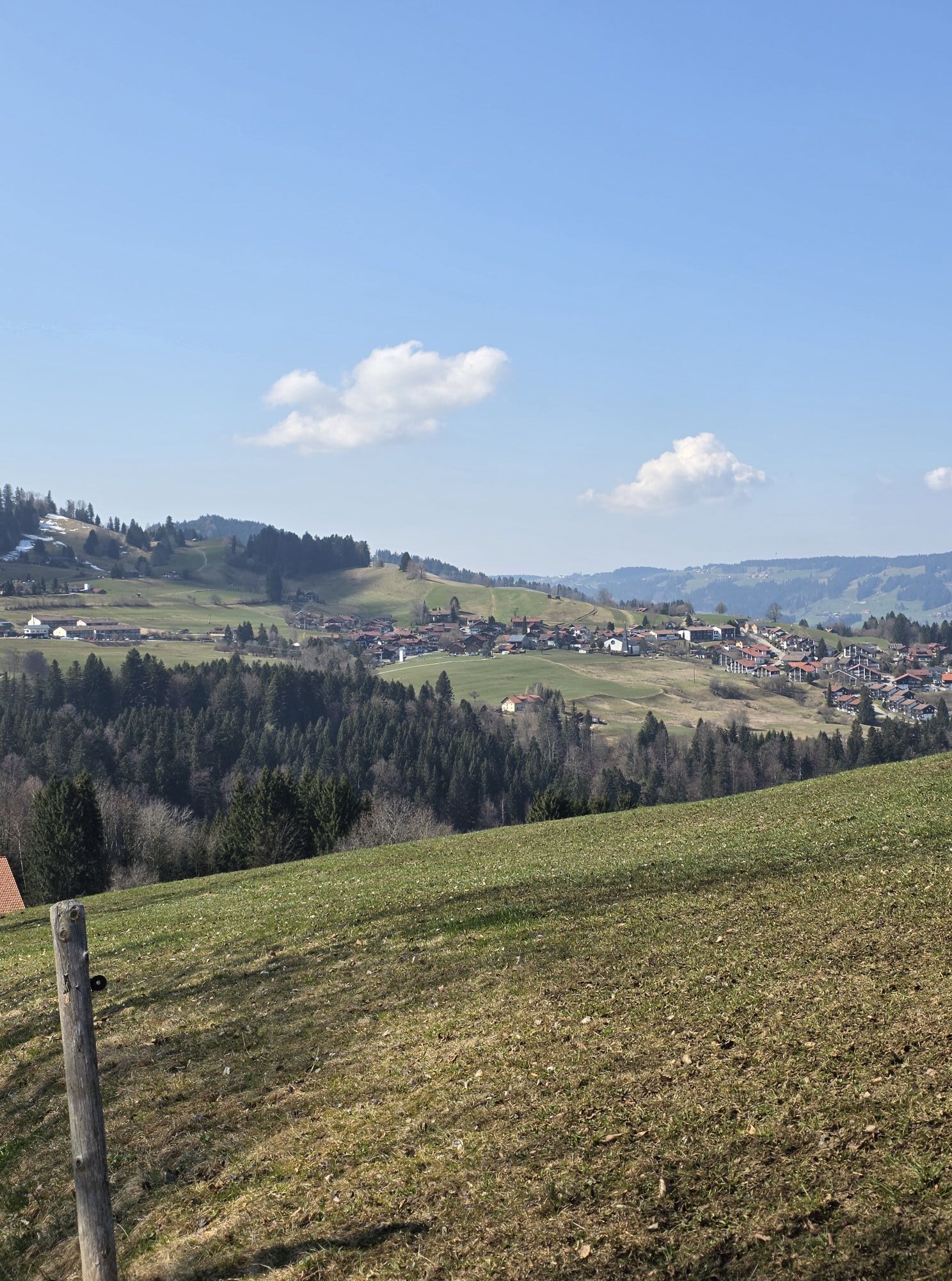
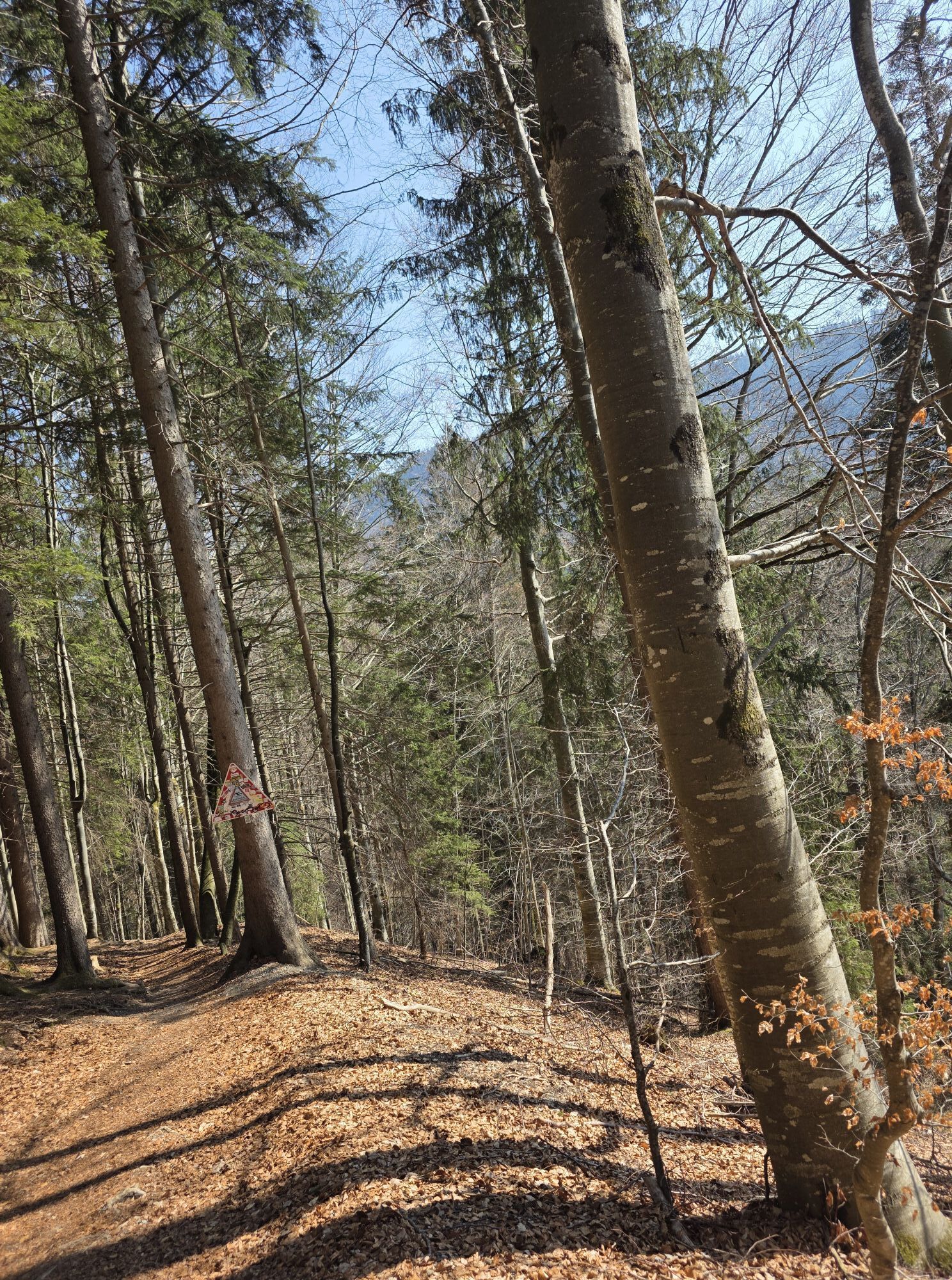
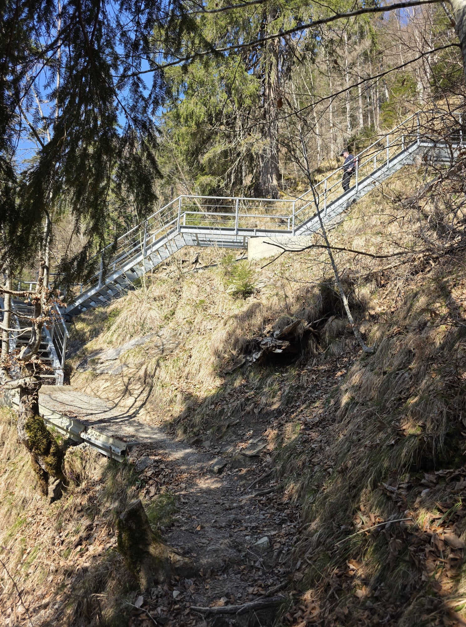
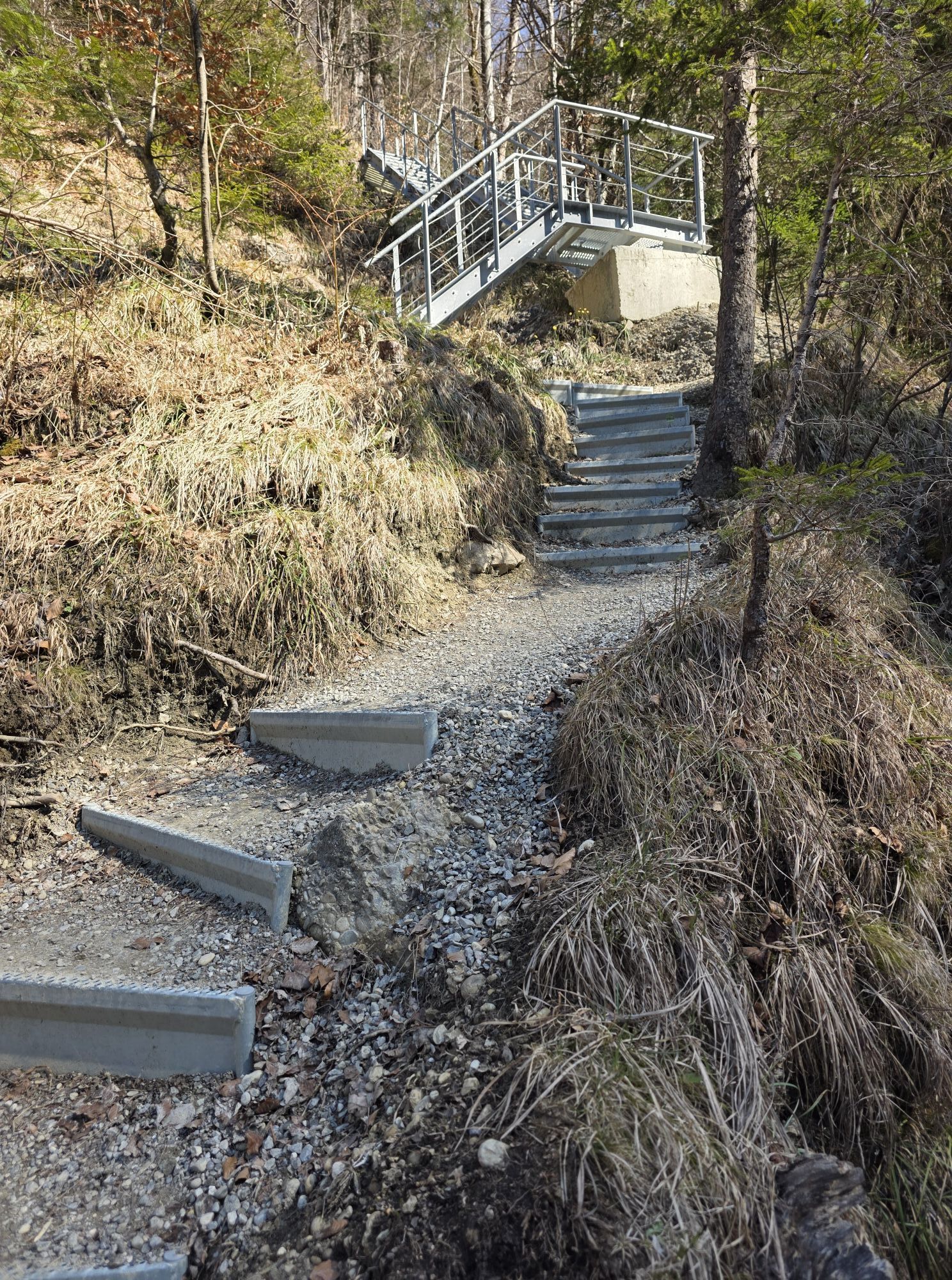
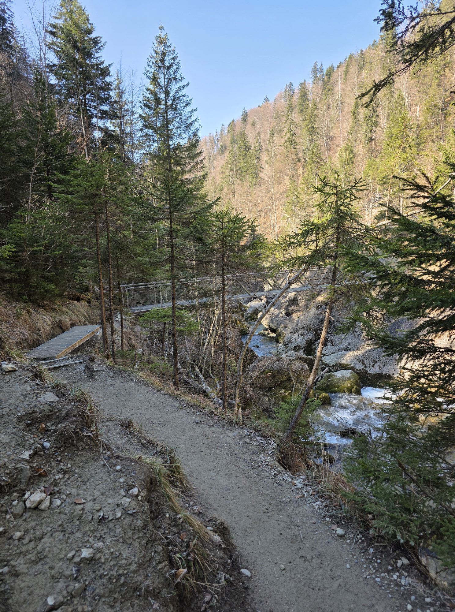
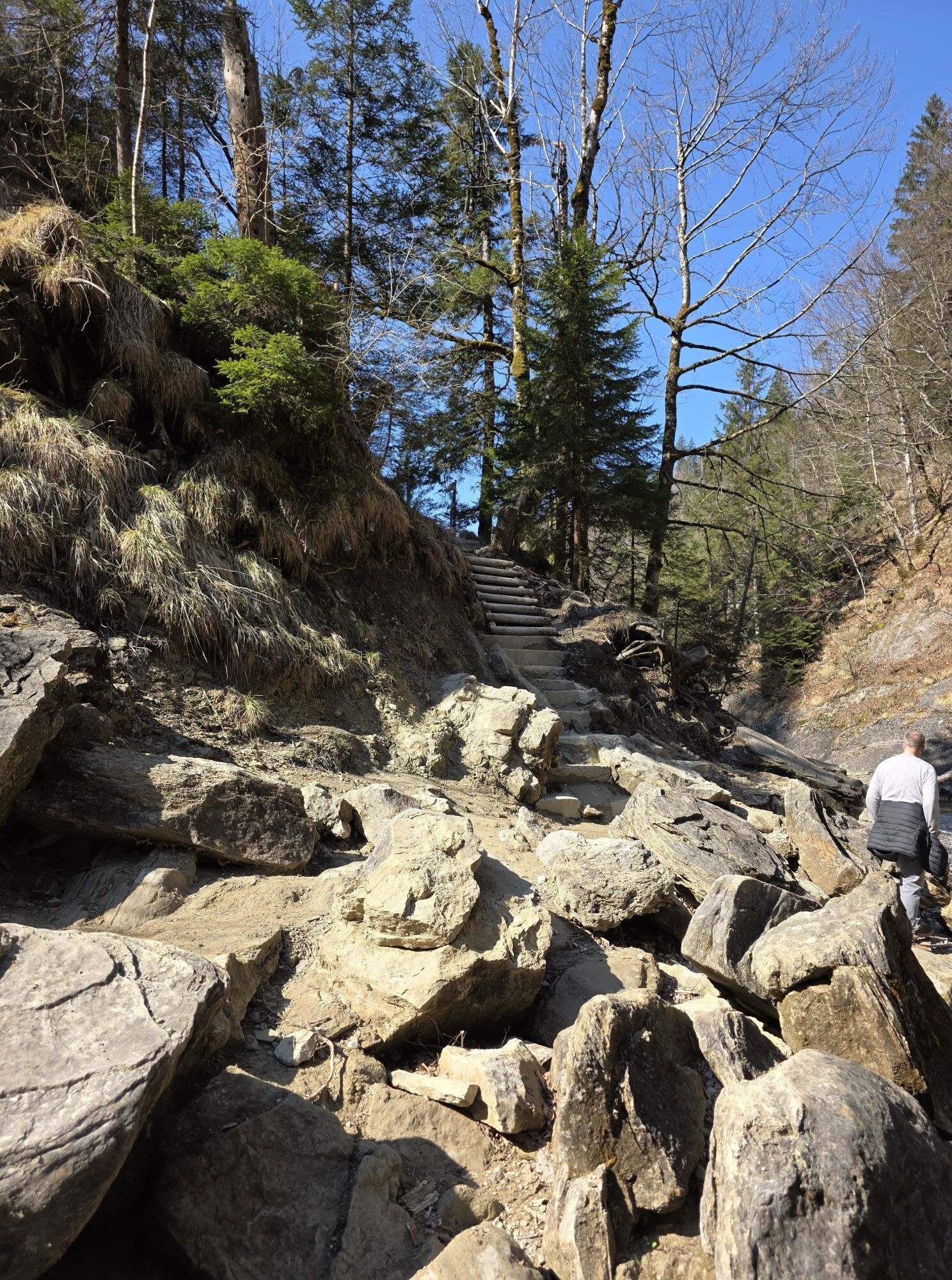
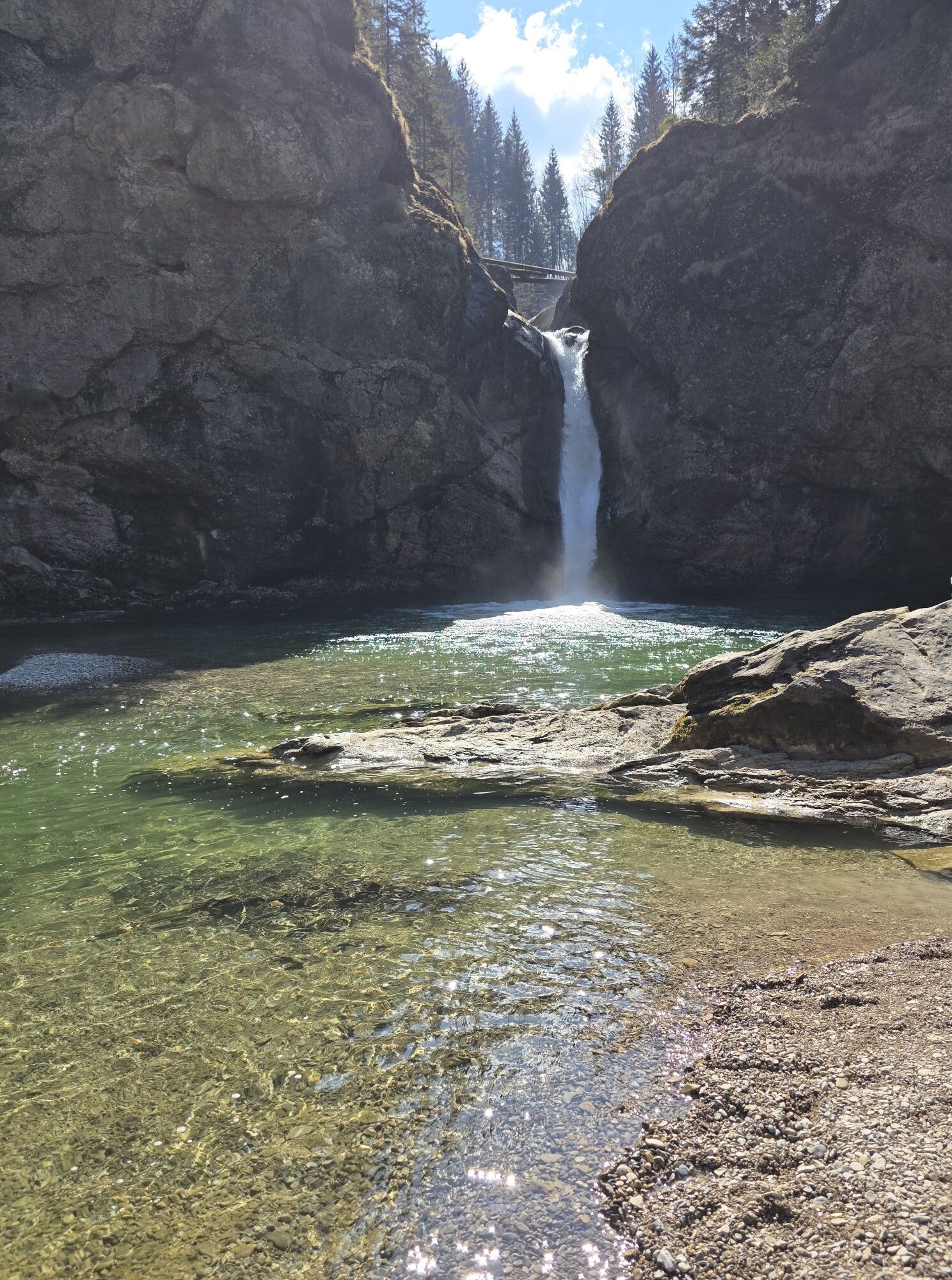
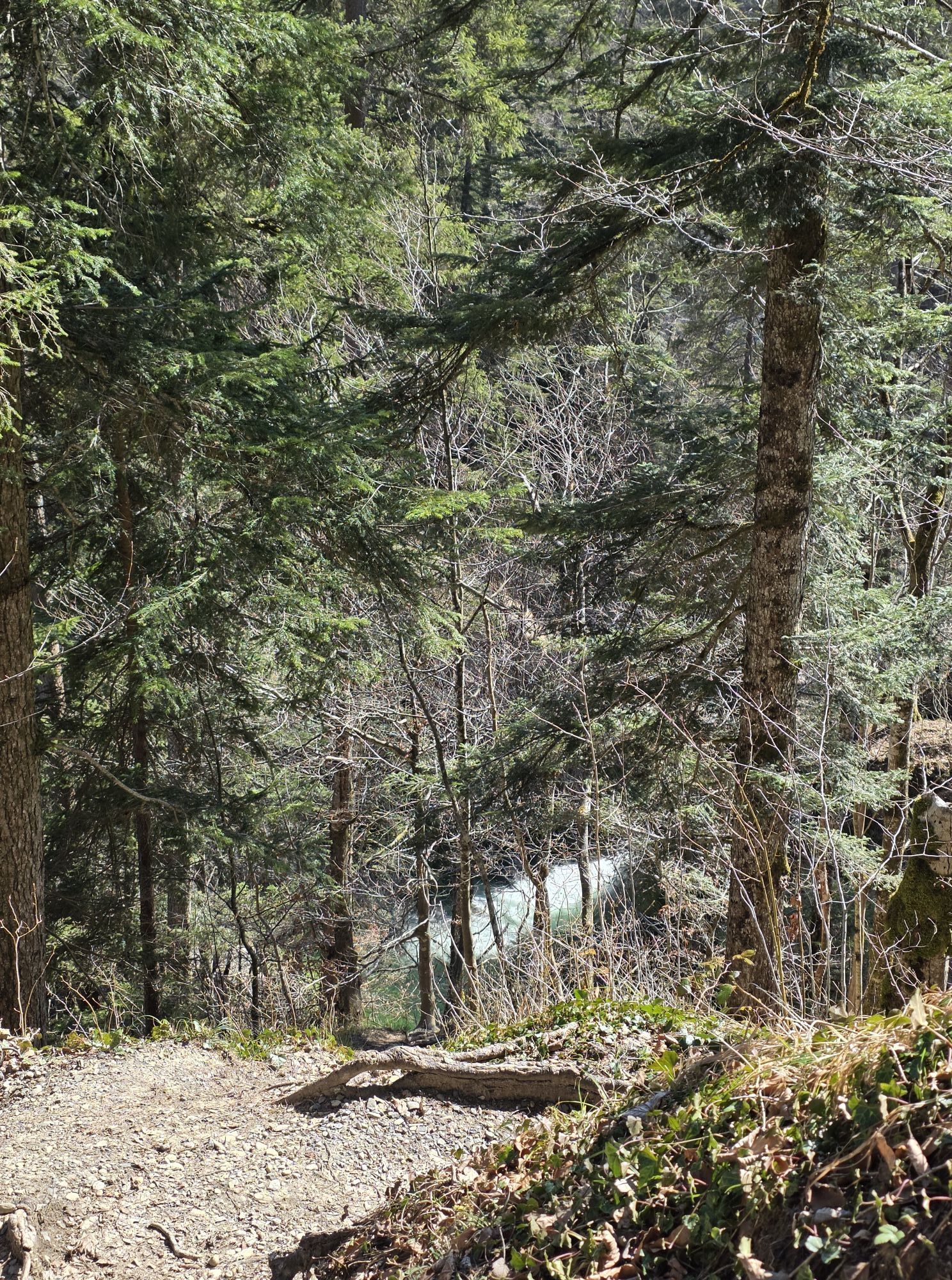
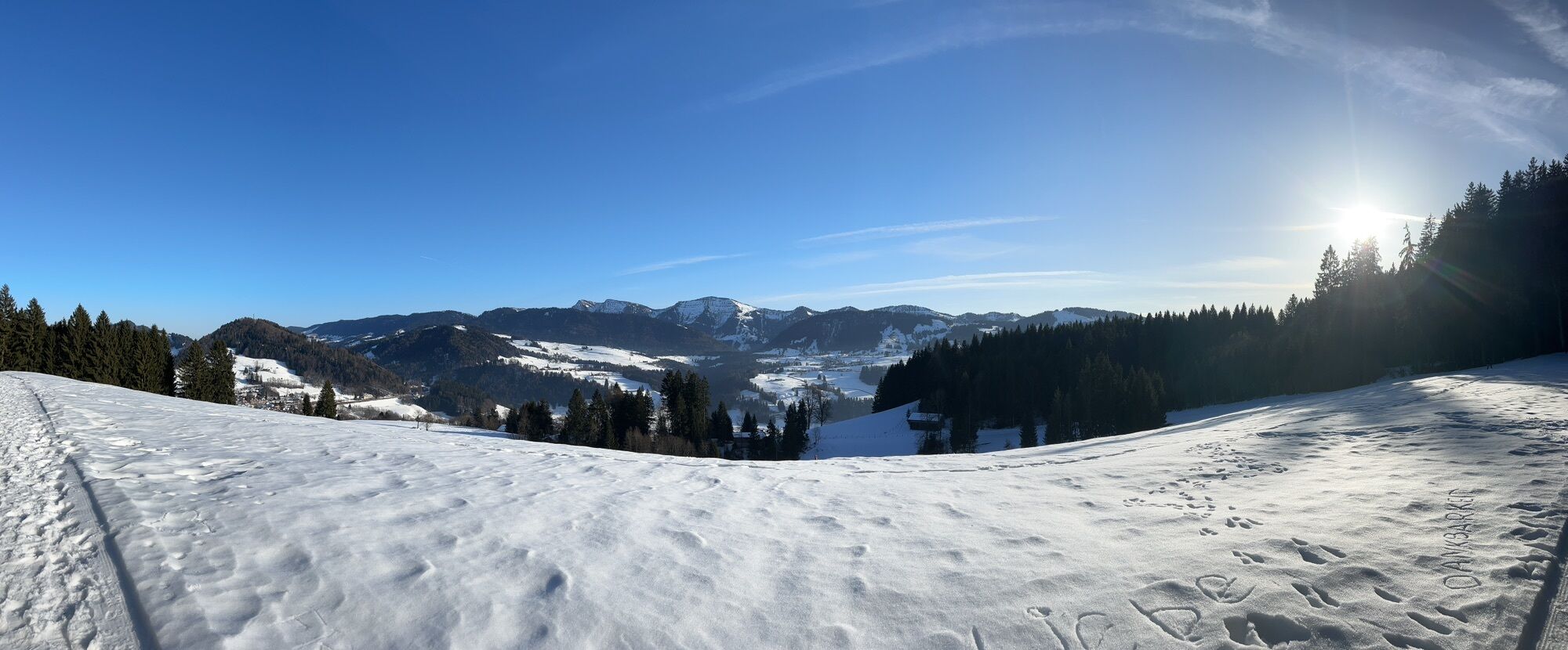
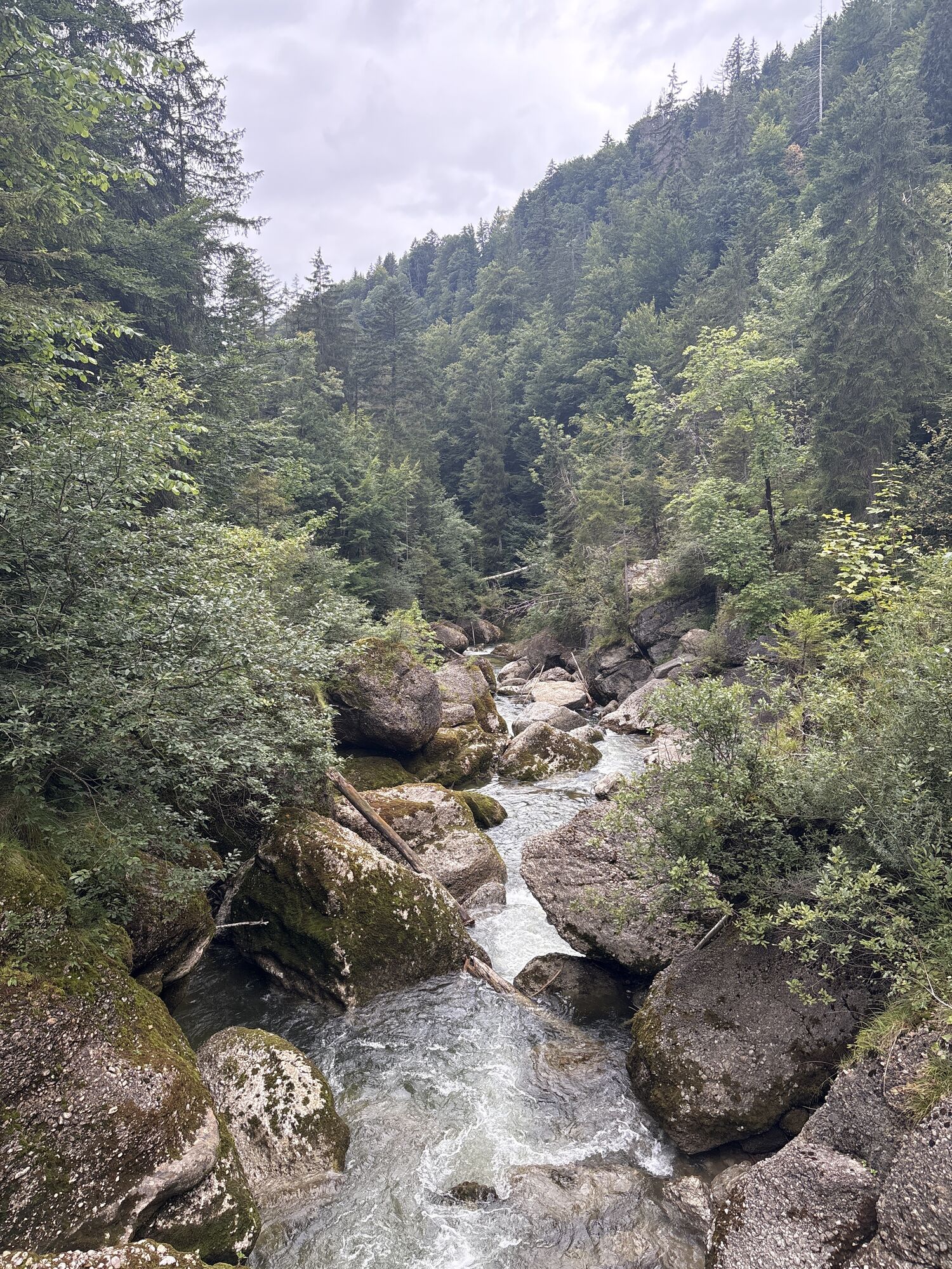
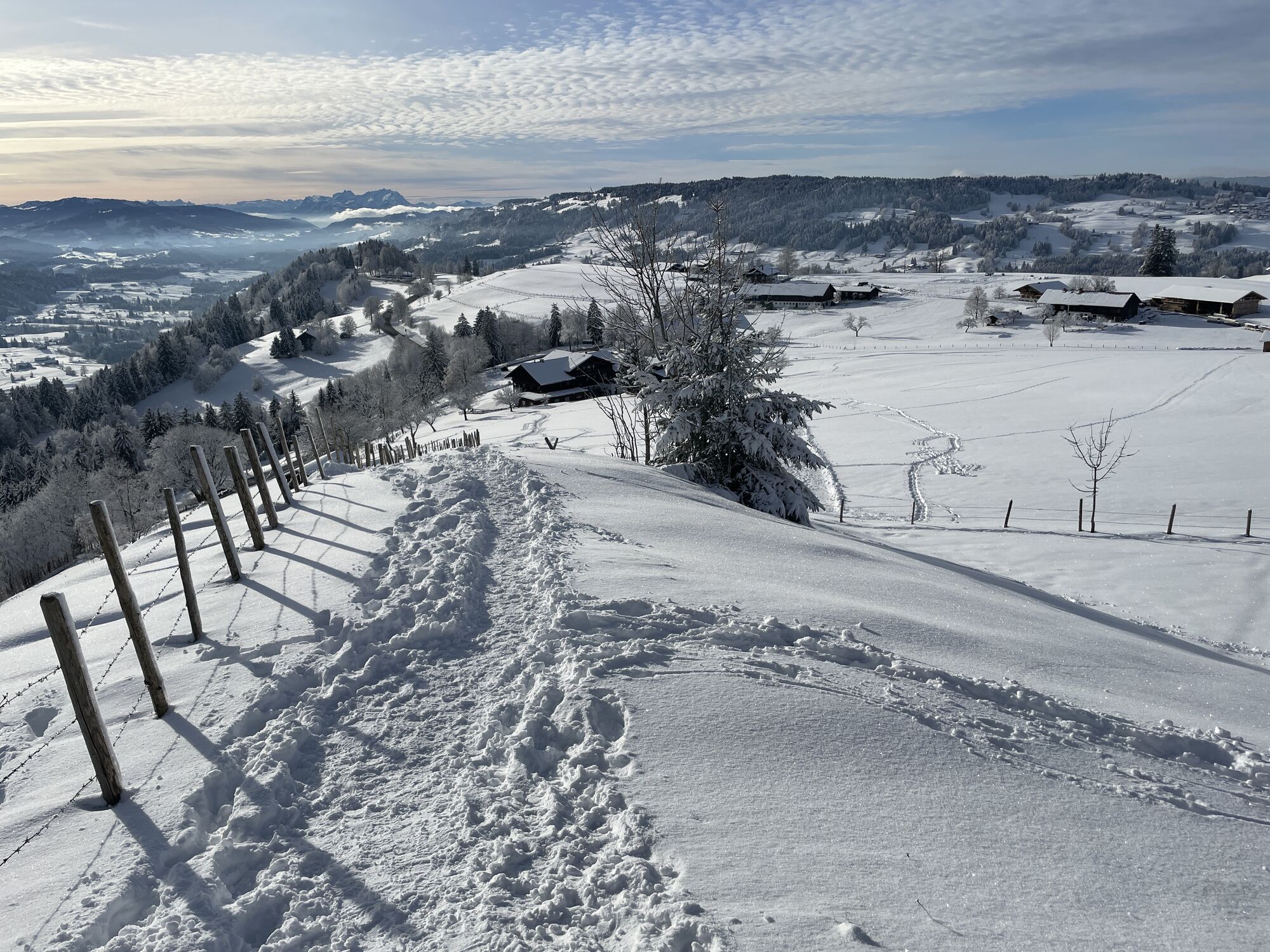
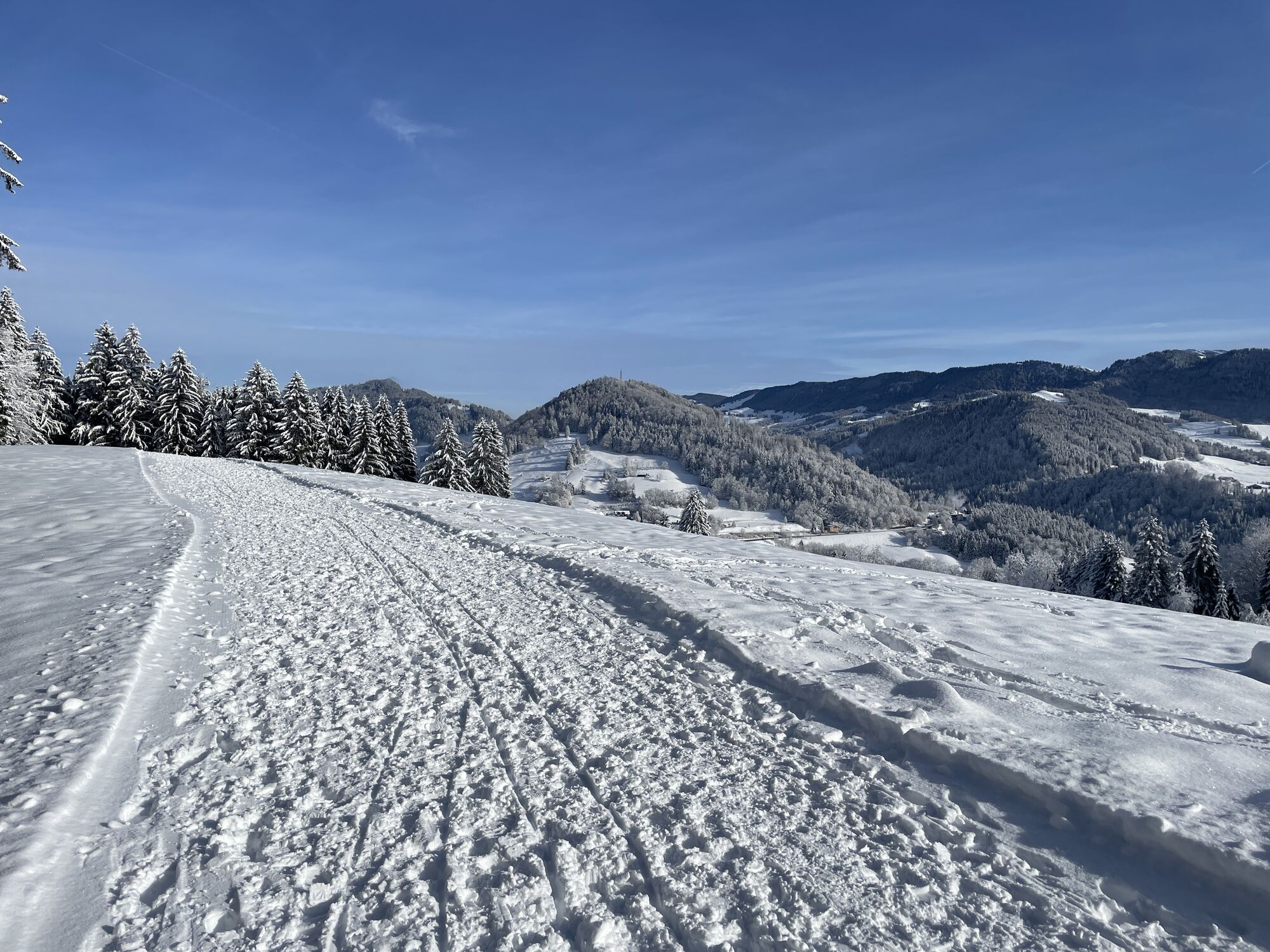
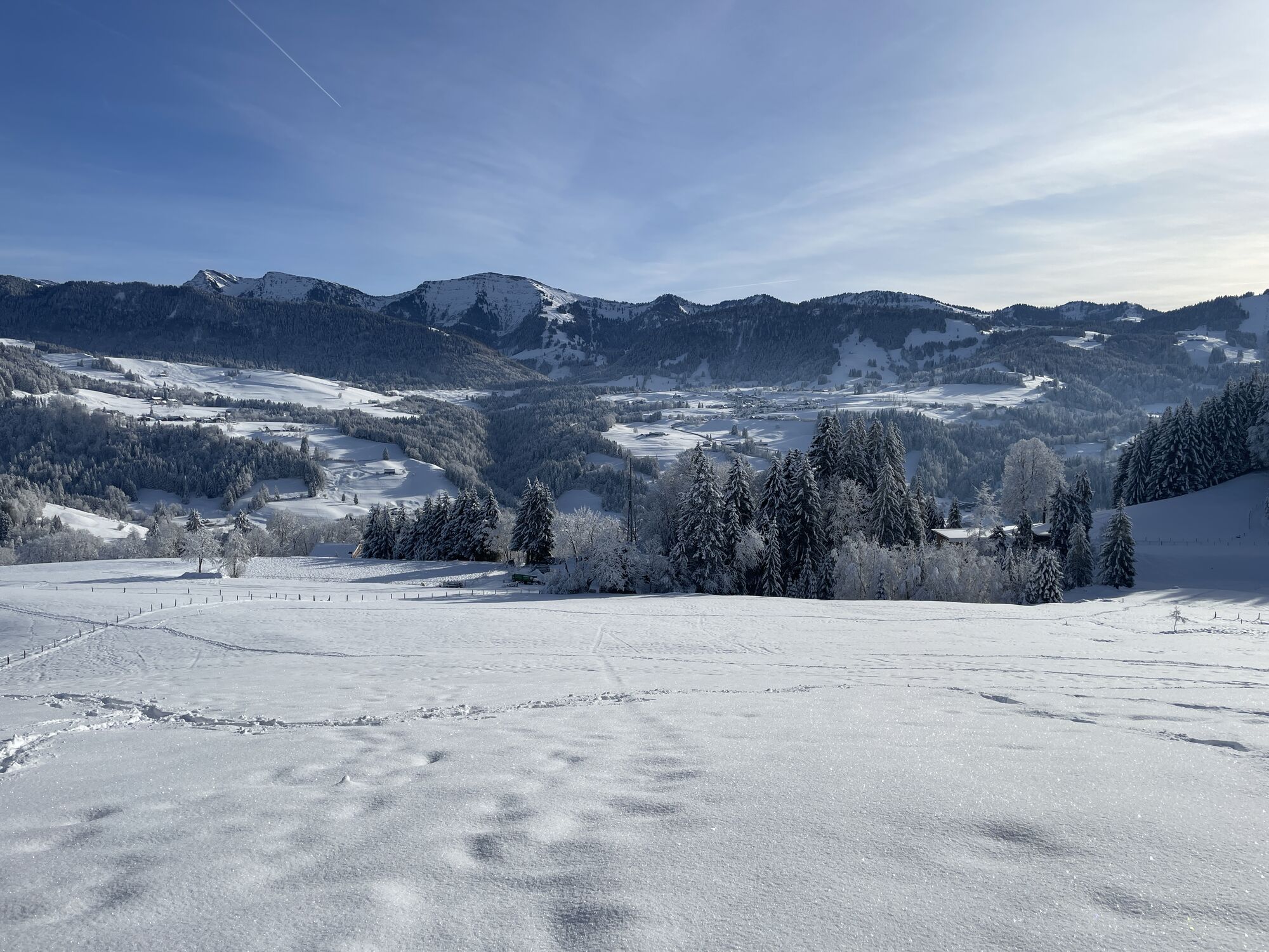
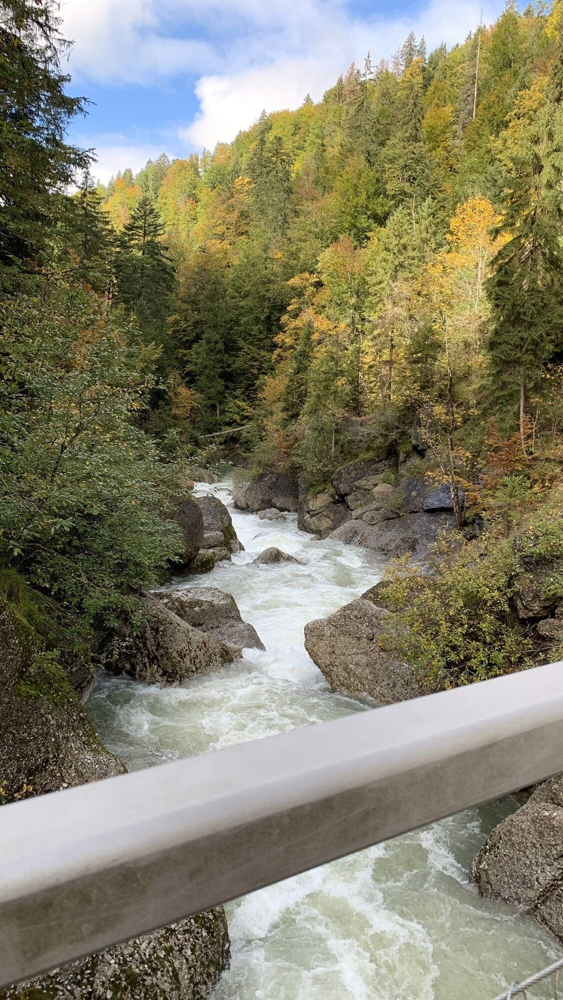
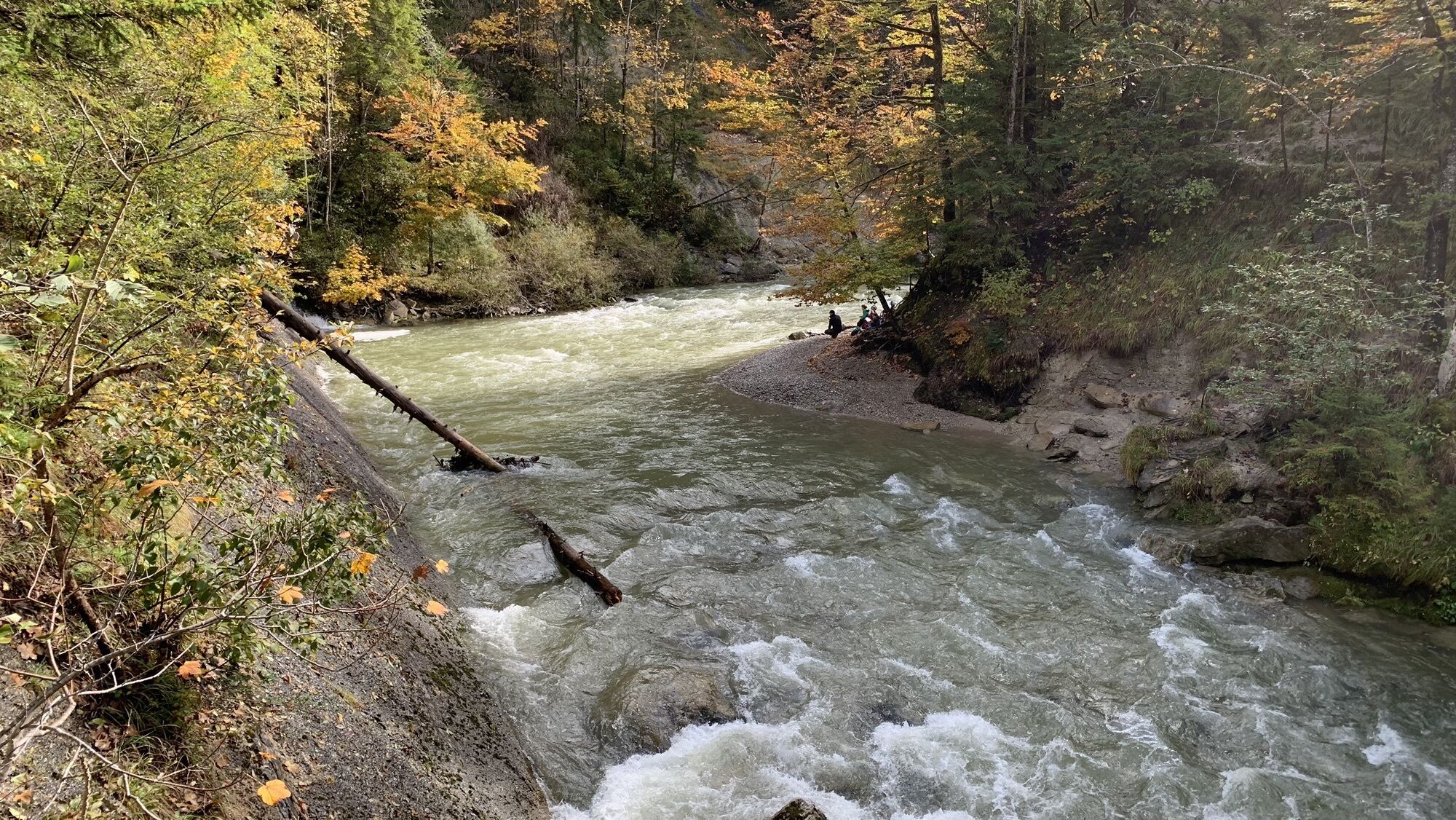
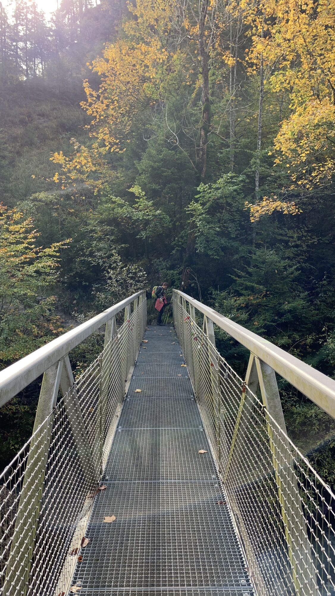
On the third day stage, the route first goes to the impressive Buchenegger Waterfalls. From here, the path leads through several districts up to the summit of the 993-meter-high Kapf. Here, the hiker enjoys...
On the third day stage, the route first goes to the impressive Buchenegger Waterfalls. From here, the path leads through several districts up to the summit of the 993-meter-high Kapf. Here, the hiker enjoys another impressive view of the Nagelfluhkette Nature Park and the meters covered on the tour. Afterwards, it goes with a view over Oberstaufen into Oberstaufen PARK.


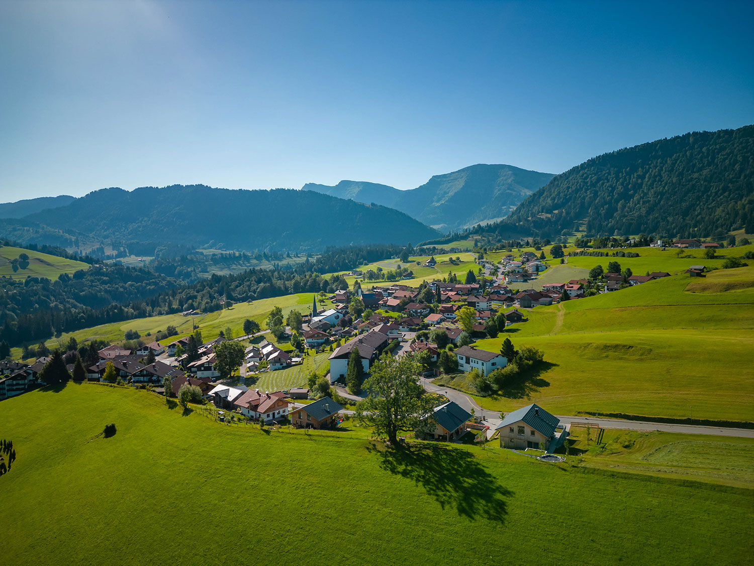
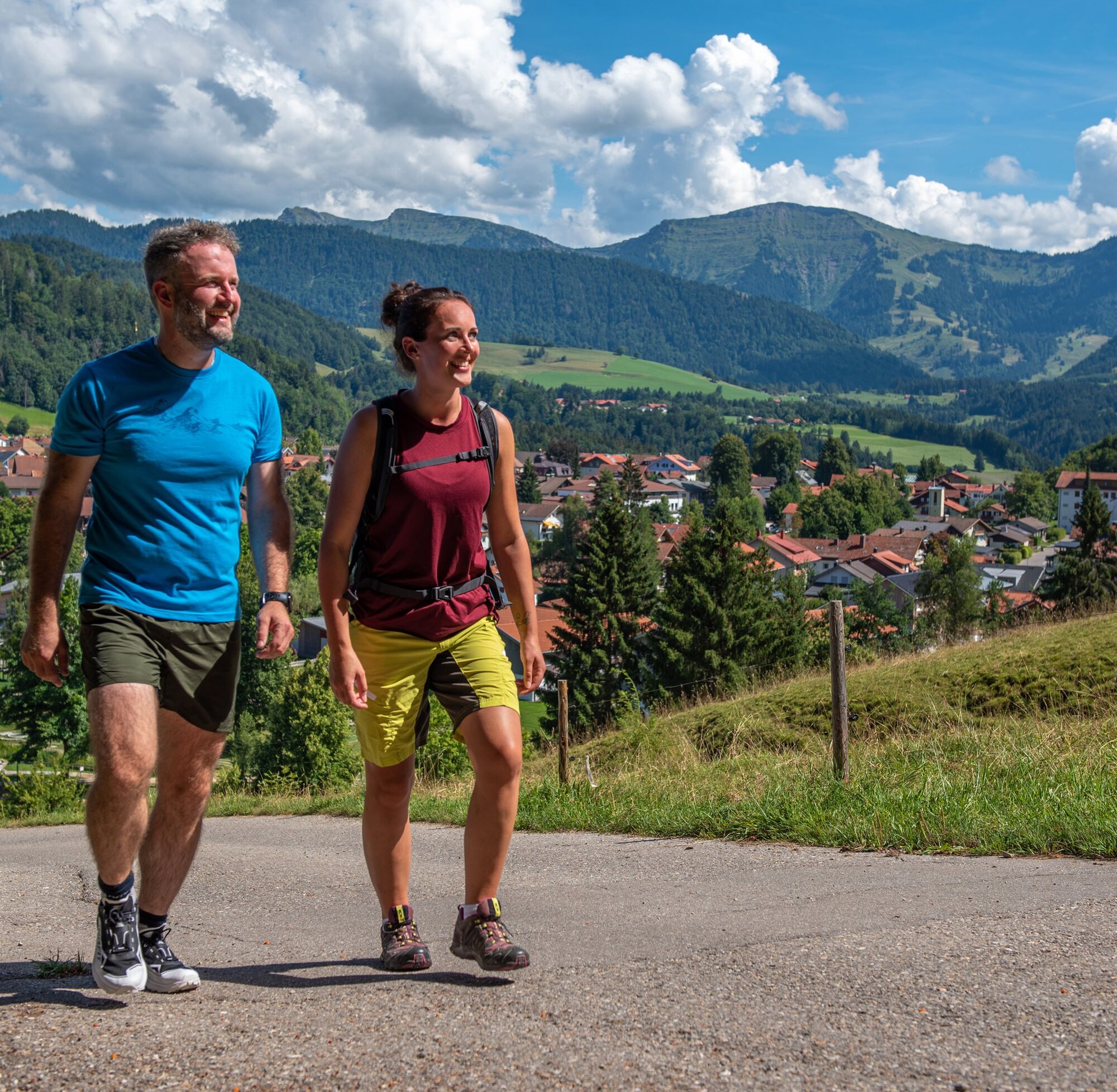

The route starts in the middle of Steibis. From here, the path takes us over the golf course and the forest educational trail to the Alpe Neugreuth (unmanaged) and the Buchenegger Waterfalls. On the other side, it goes up again and follows the paved path to the left to Buchenegg. Over Ifen, the path continues to Weissach. Past Willis, it goes over the Paradies to the Kapf summit. The last meters now go downhill until the route ends at Oberstaufen PARK.
Backpack with enough provisions and drinks. Rain protection, first aid kit, and ankle-high shoes should not be missing either.
If you want to hike all three stages consecutively without logistical transportation challenges, bus 95 is your best option:
Stage 1: Start at Oberstaufen PARK - no transport necessary. End at the valley station of Hochgratbahn - bus 95
Stage 2: Start at the valley station of Hochgratbahn - bus 95. End in the center of Steibis - bus 95
Stage 3: Start in the center of Steibis - bus 95. End at Oberstaufen PARK - no transport necessary
Arrival by regional train to Oberstaufen station: www.oberstaufen.de/bus-parken
Parking options are available in the town. Overview of all public transport and parking options: www.oberstaufen.de/bus-parken
T3
Enjoy the Allgäu cuisine in one of the numerous alpine huts along the way.
Kamery internetowe z trasy
Hochgratbahn Bergstation
Oberstaufen
Skilifte Sinswang
Oberstaufen - Biohotel Schratt
Oberstaufen - Biohotel Schratt
Oberstaufen
Fluhexpress Berg
Fluhexpress Berg
Oberstaufen
Oberstaufen
Oberstaufen
Oberstaufen
Oberstaufen
Oberstaufen
Oberstaufen - Rosenalp
Fluhexpress Bergstation
Hündlebahn Bergstation
Oberstaufen
Oberstaufen - Hörmoos
Uzyskaj wgląd Zawsze na żywo z ponad 9 500 kamer internetowych. bergfex Jako użytkownik Pro, możesz teraz zobaczyć odpowiednie kamery internetowe dla wielu wycieczek w aplikacji wycieczki od. Pozwala to na bezpośredni podgląd aktualnych warunków. Popularne wycieczki w okolicy
- 4,5
Hittisau | Wasserwanderweg
światłoTrasa tematyczna 7 km - 4,6
Steibis - Buchenegger Waterfalls
średniWędrówka 6,47 km - 4,7
Rindalphorn und Hochgrat
średniWędrówka 15,6 km - 5,0
Nagelfluh ridge route Hochgrat - Mittag
ciężkiWędrówka 14,0 km - 3,7
Rundtour Mittag
światłoWędrówka 15,7 km - 5,0
Siedelalpe Runde von See - Immenstadt
światłoWędrówka 10,3 km - 4,5
Immenstädter Horn - Gschwender Horn
światłoWędrówka 10 km - 4,4
Circular route Steibis to Dreiländerblick
średniWędrówka 7,95 km - 4,5
Grasgehren - Riedberger Horn - Berghütte Grasgehren
światłoWędrówka 4,51 km - 4,0
Nagelfluh-Überschreitung
ciężkiWędrówka 22,7 km
Wędrówki i tropienie


Nie przegap ofert i inspiracji na następne wakacje
Twój adres e-mail została dodana do listy mailingowej.





