







Hirschberg (from Kreuth)
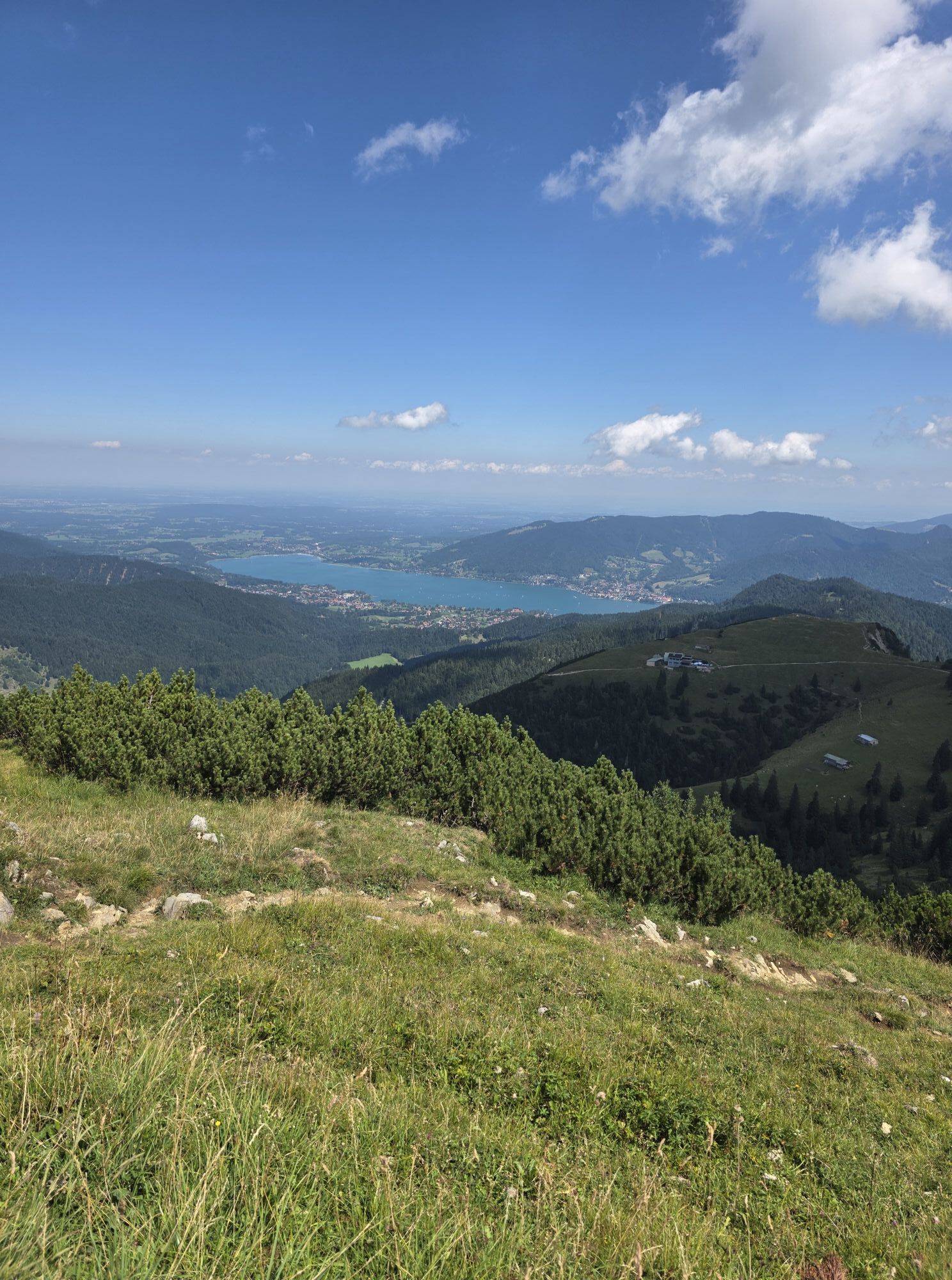
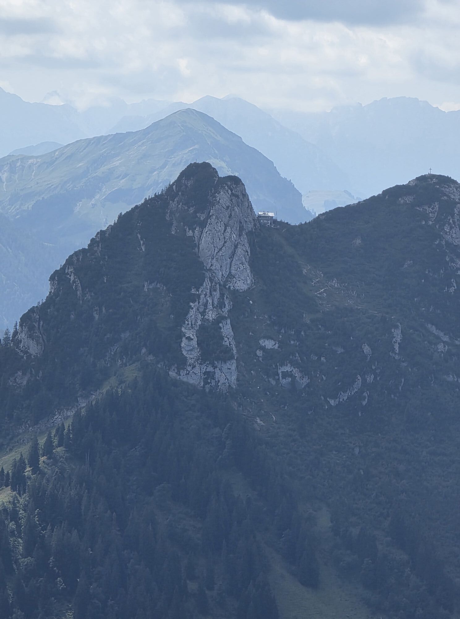
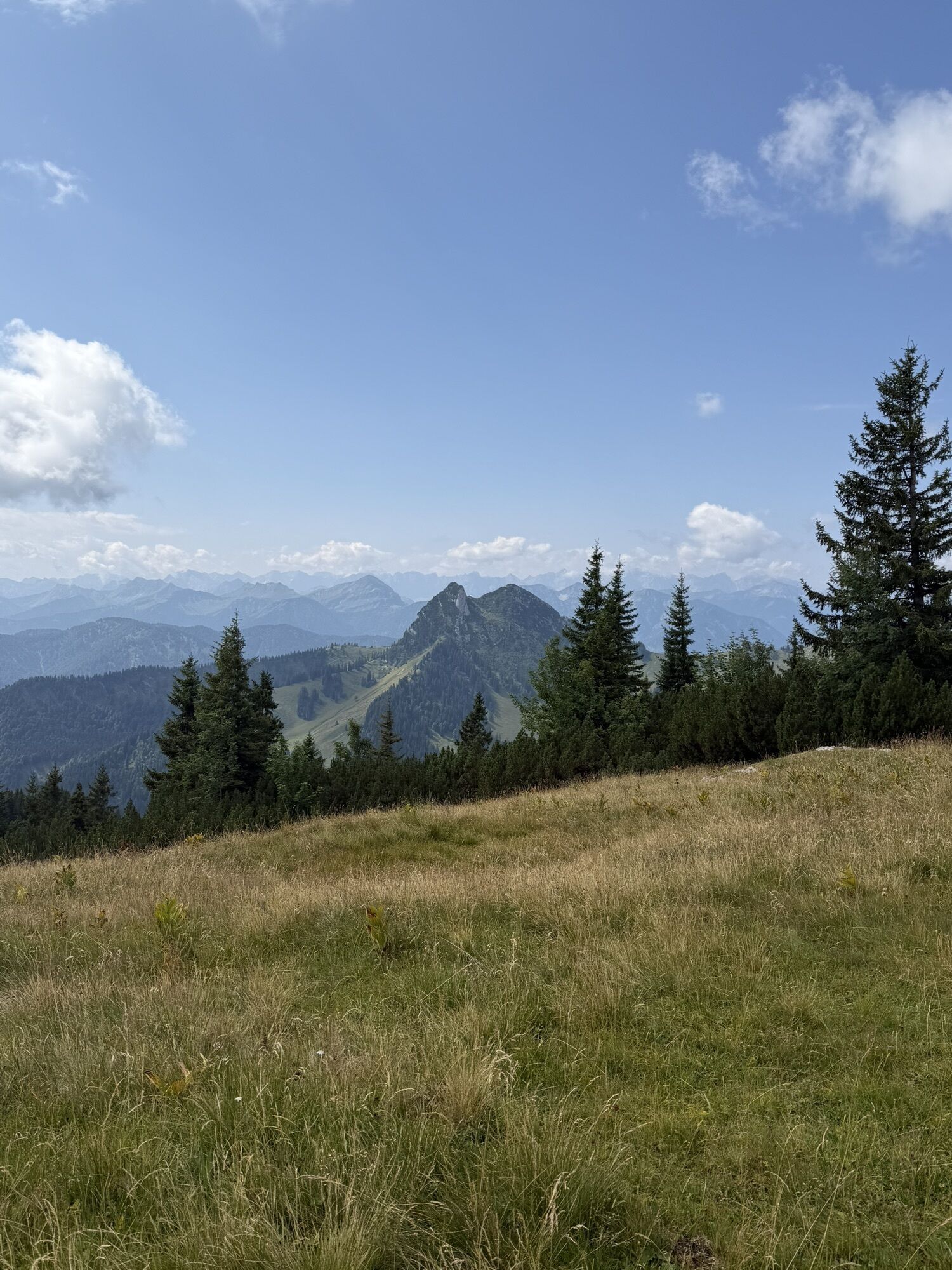
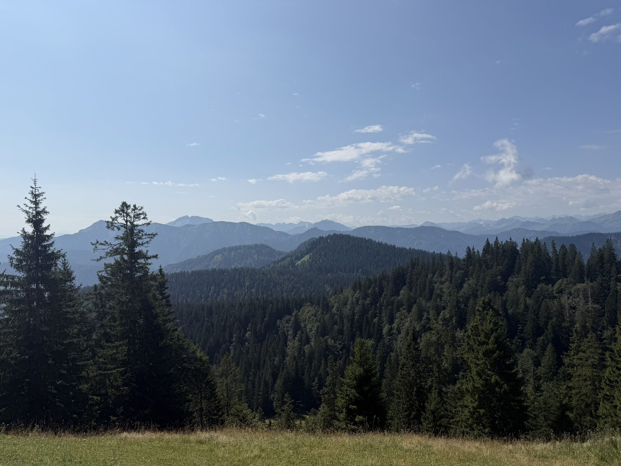
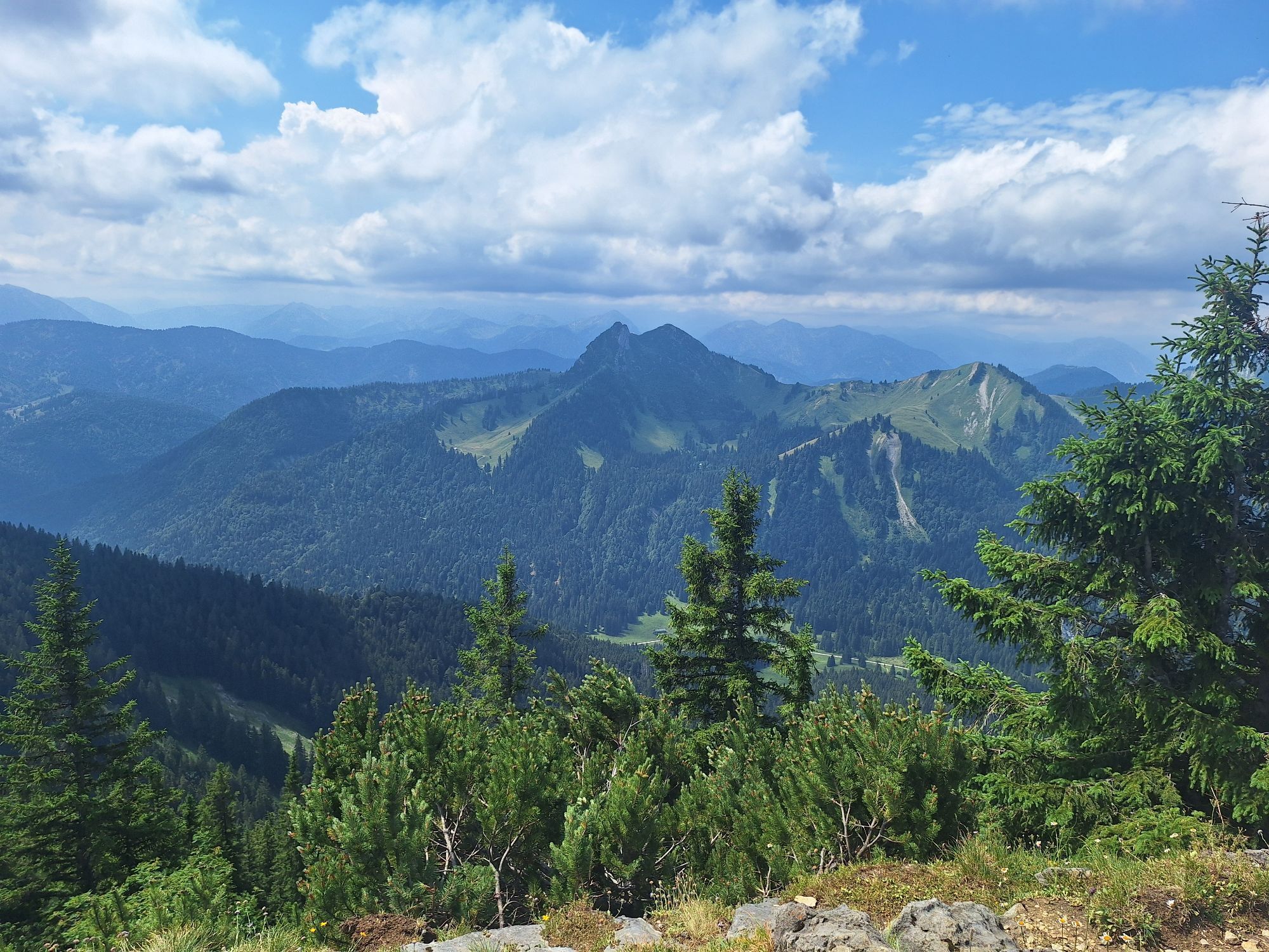
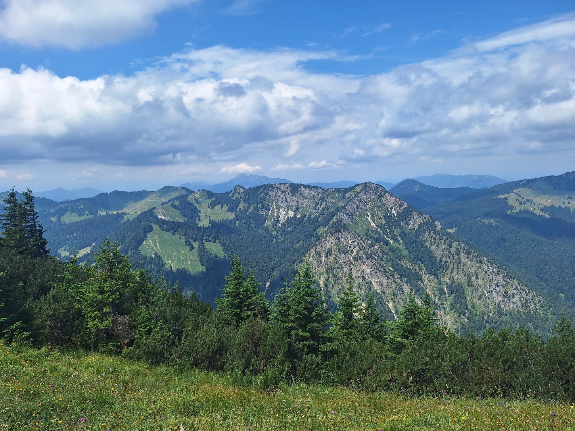
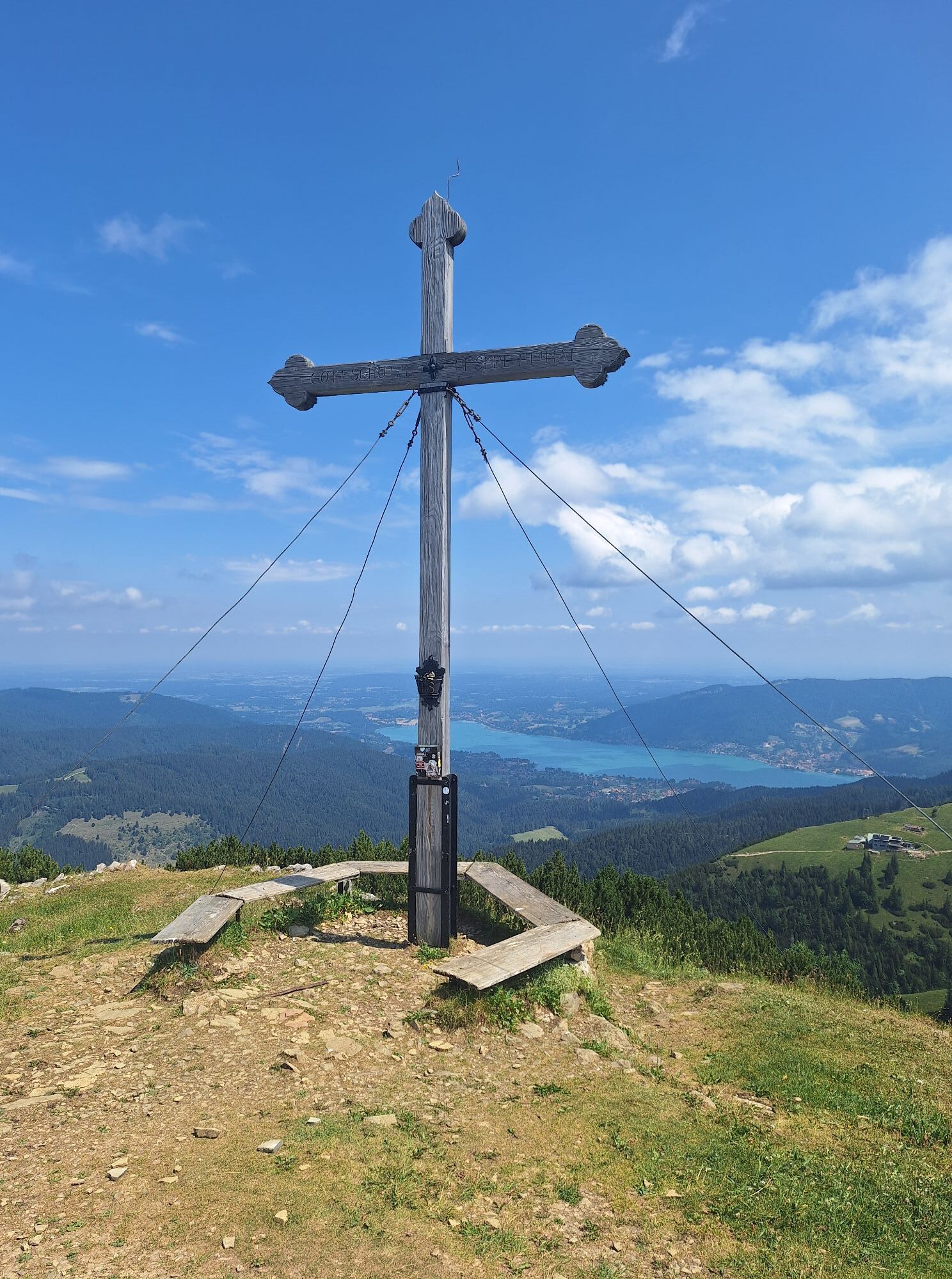
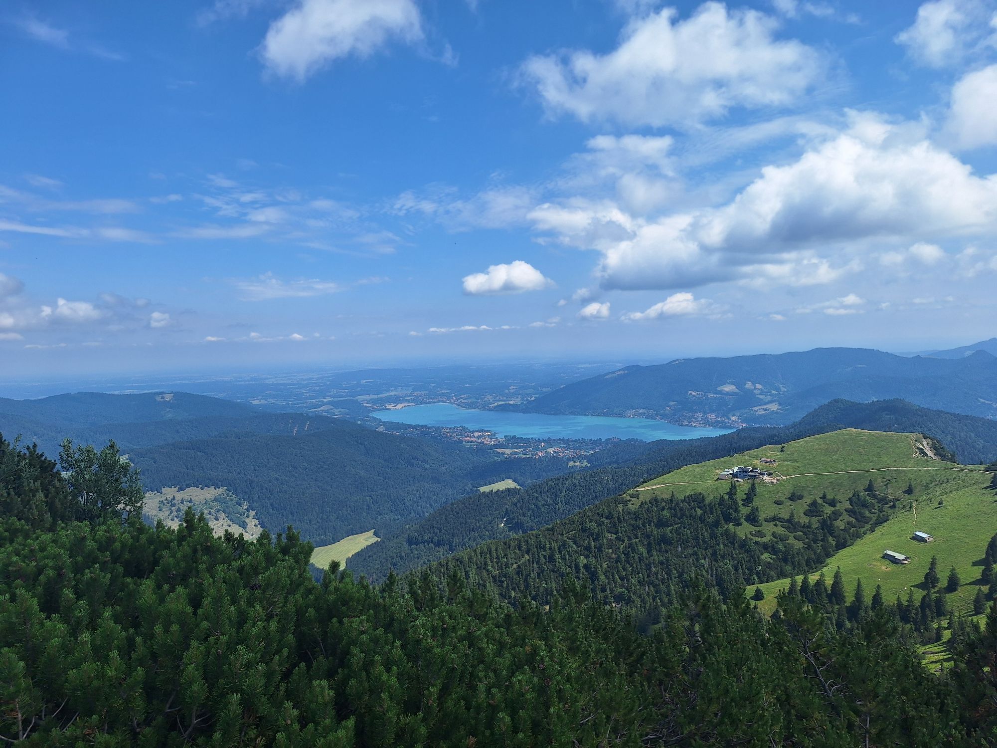
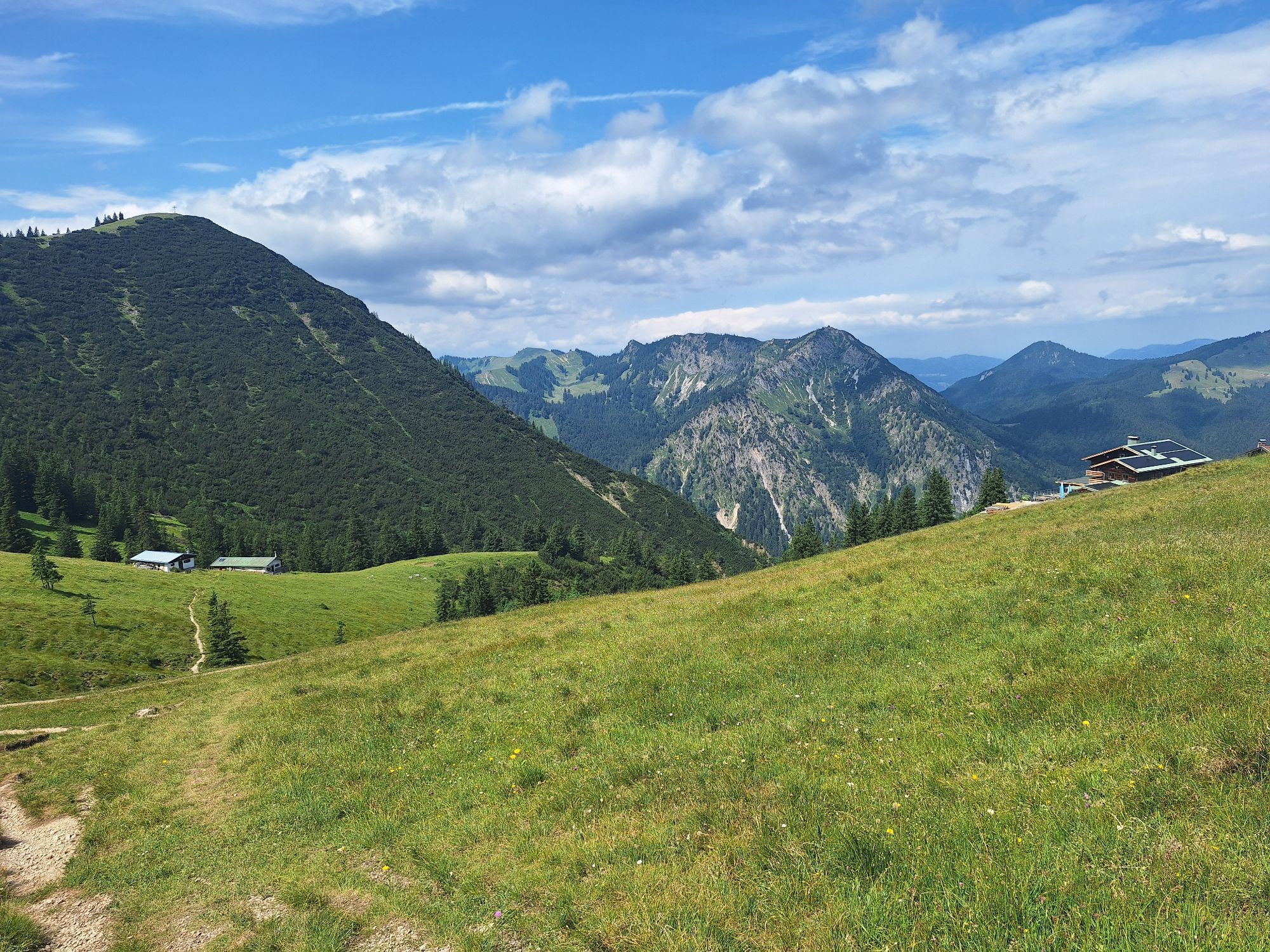
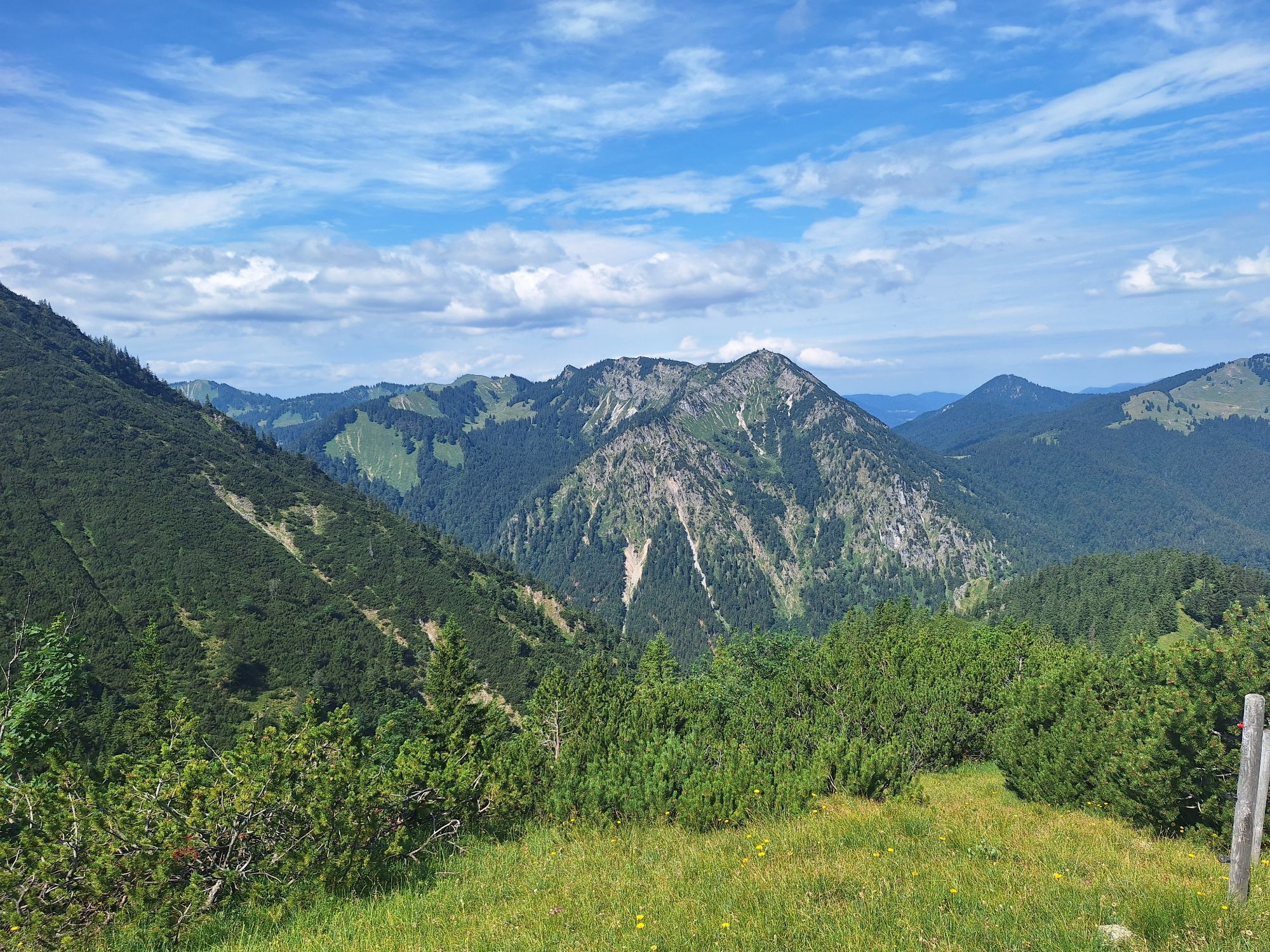
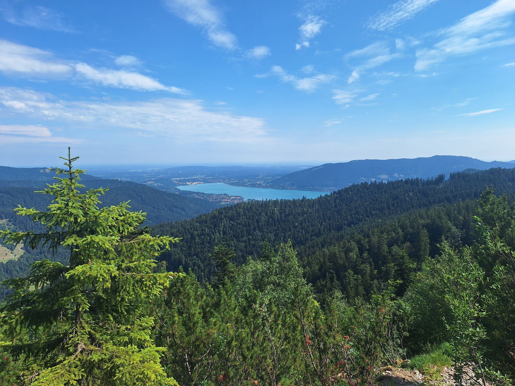
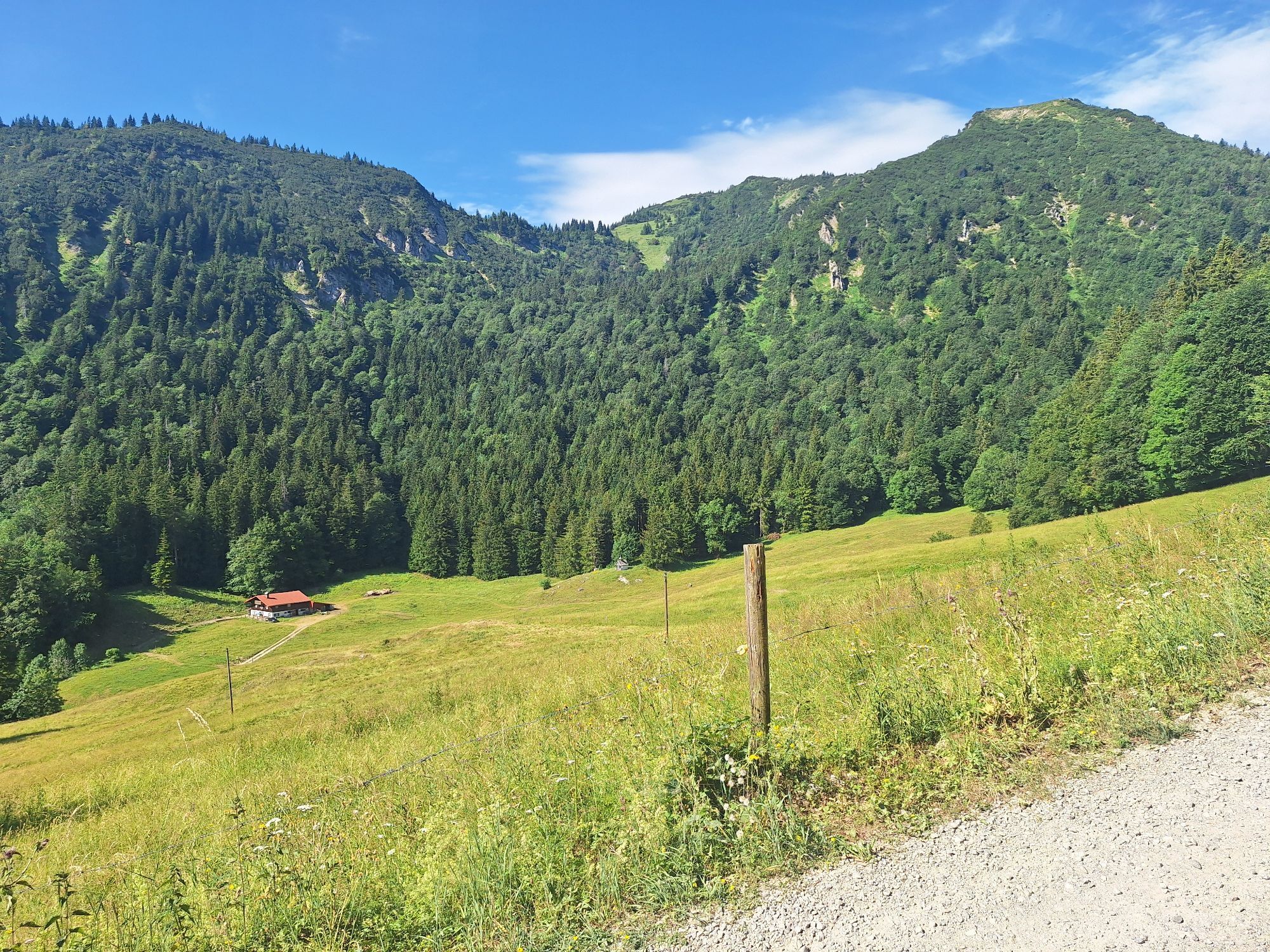
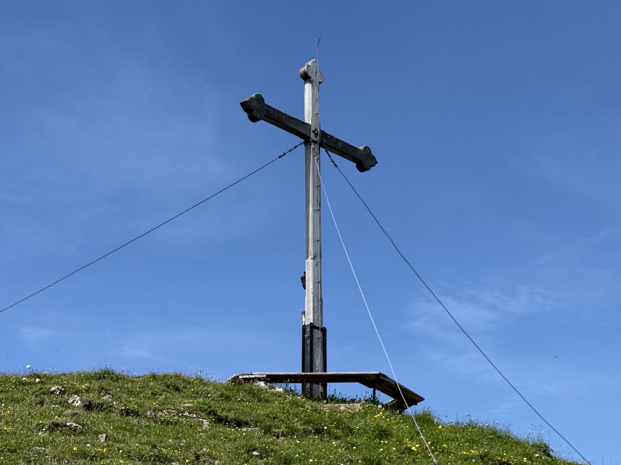
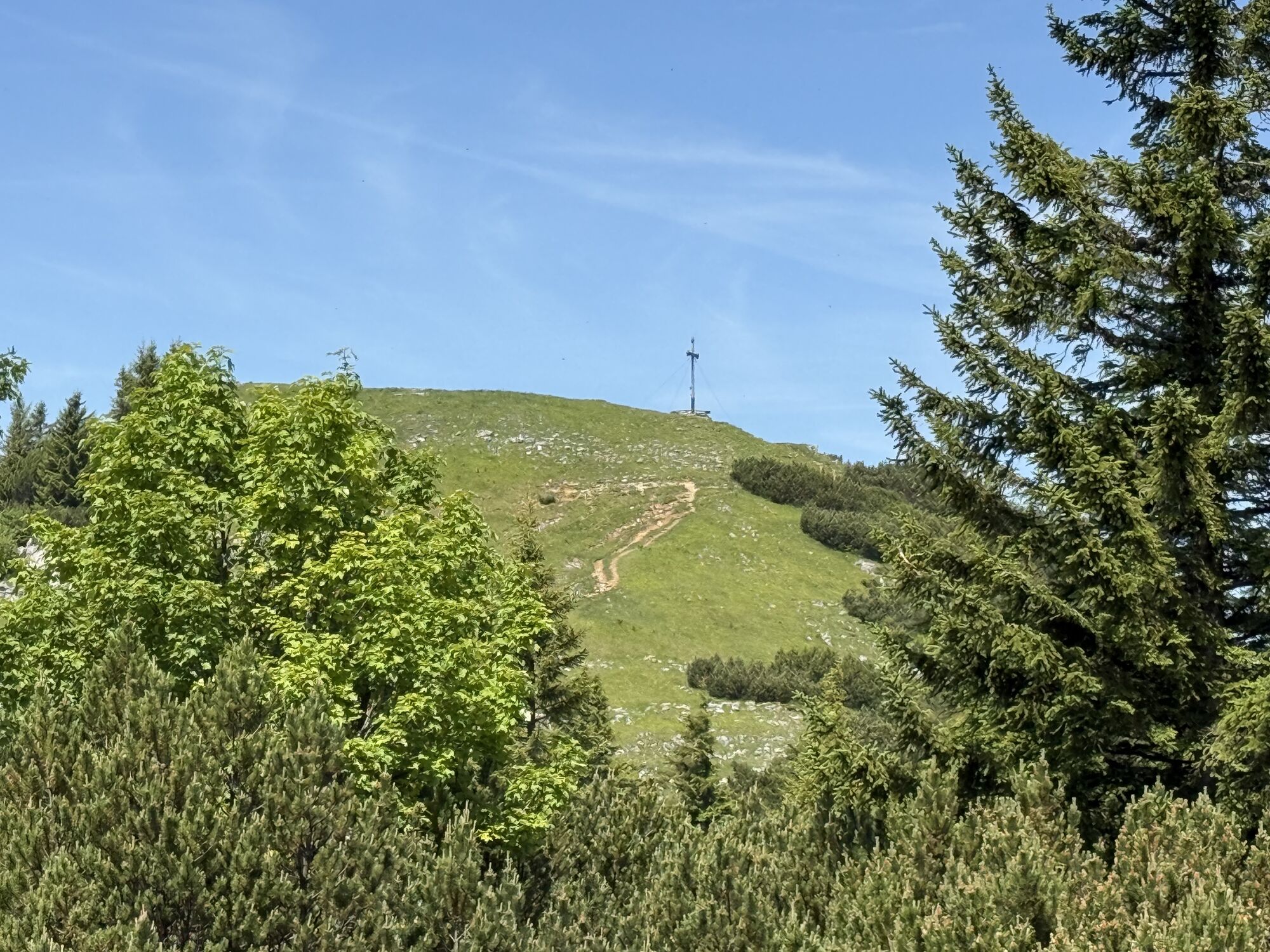
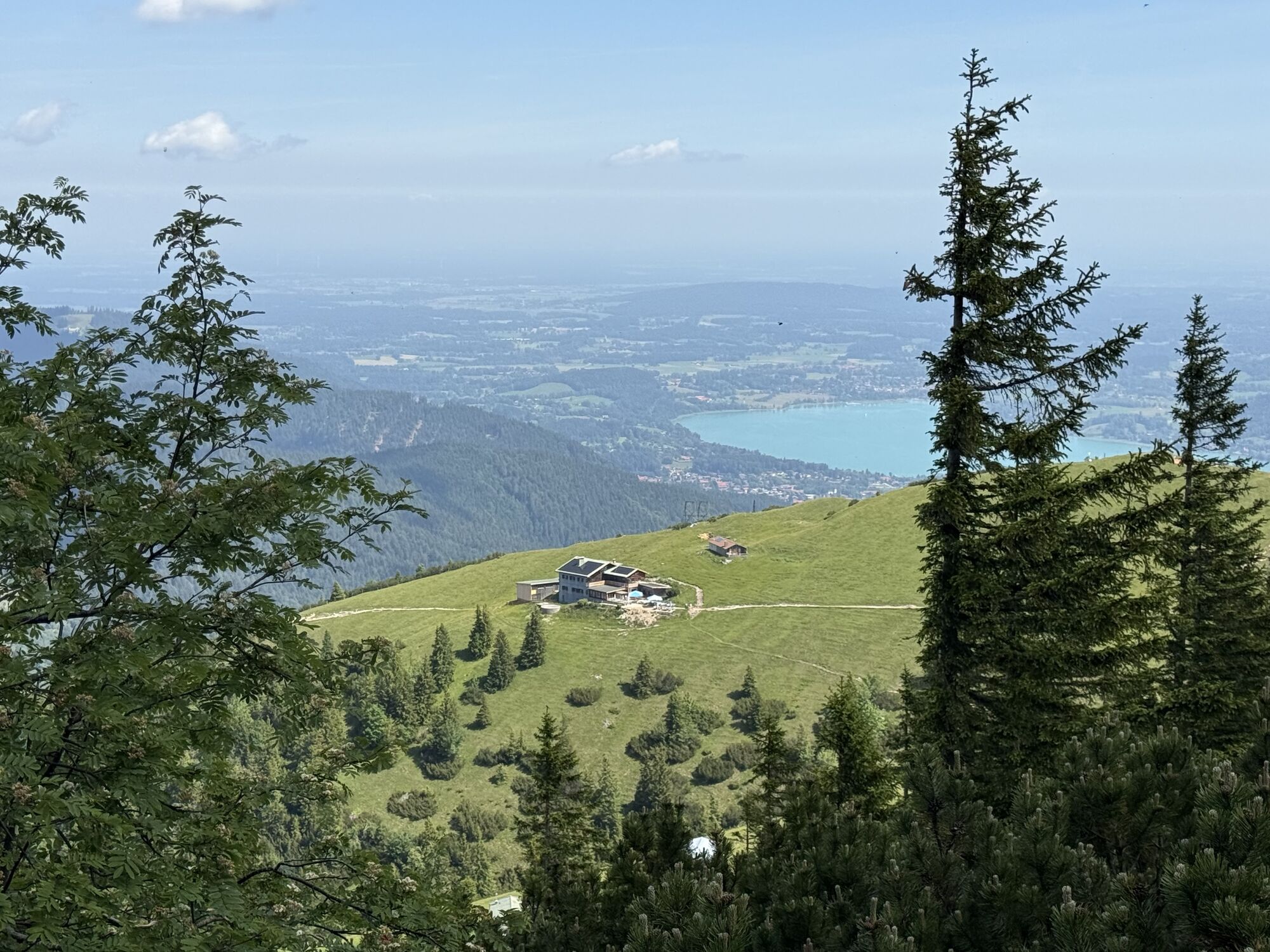
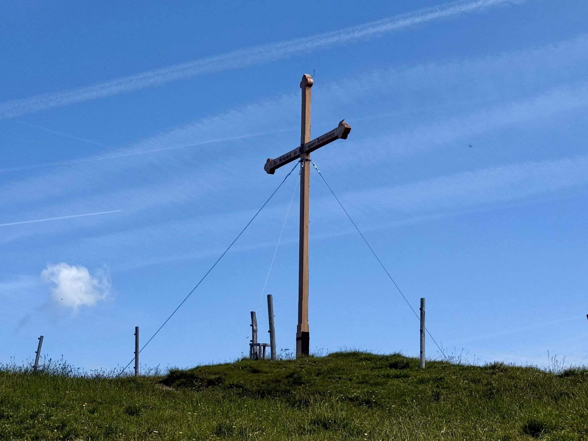
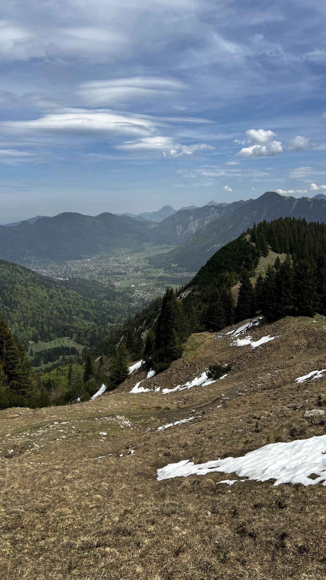
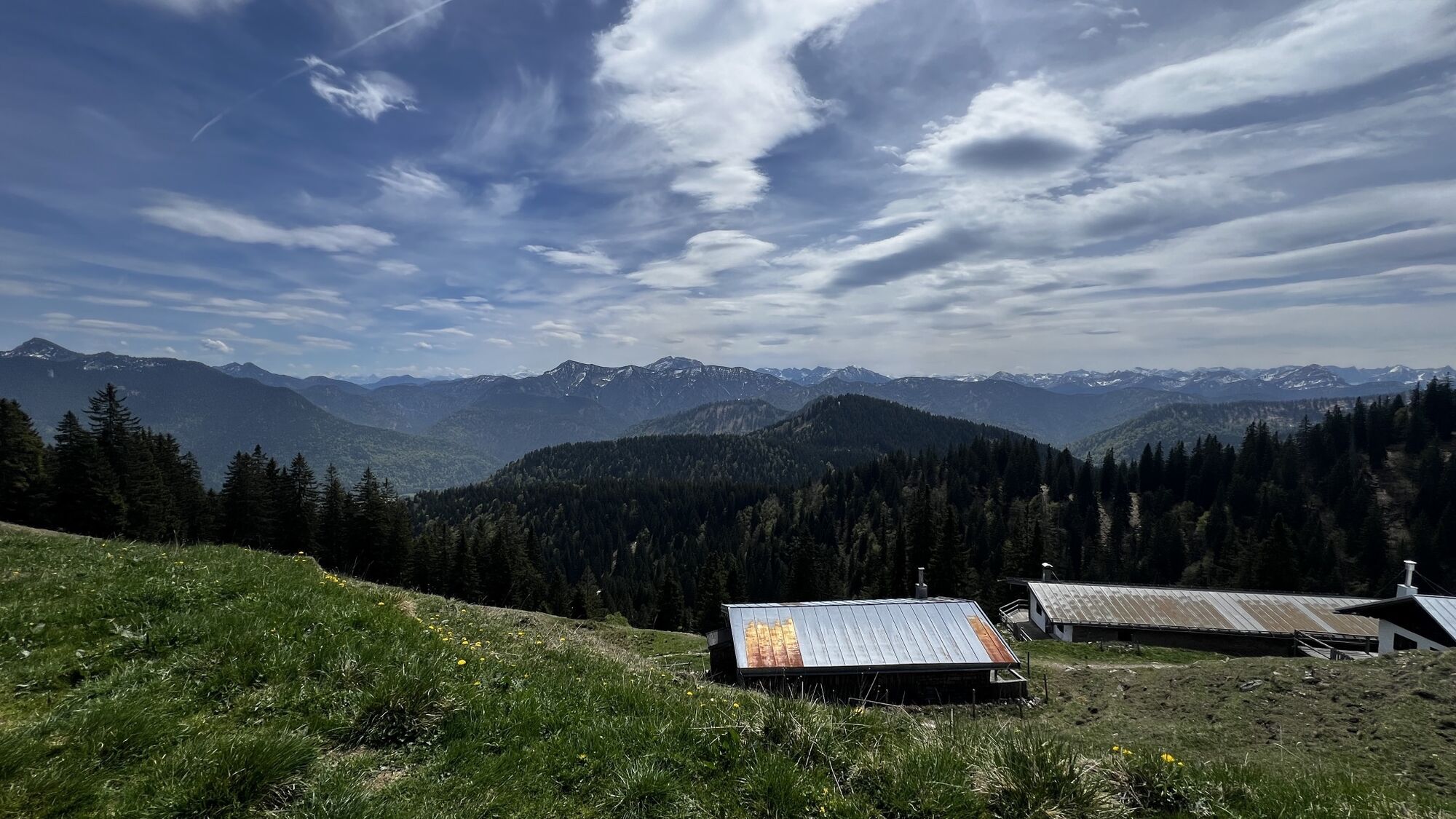
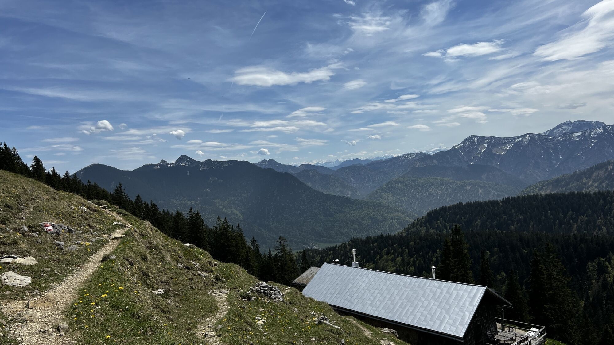

You are rarely alone on this summit because the Hirschberg is one of Munich's most popular local mountains. No wonder, as it is a beautiful mountain destination in all seasons. Hikers enjoy the paths to...
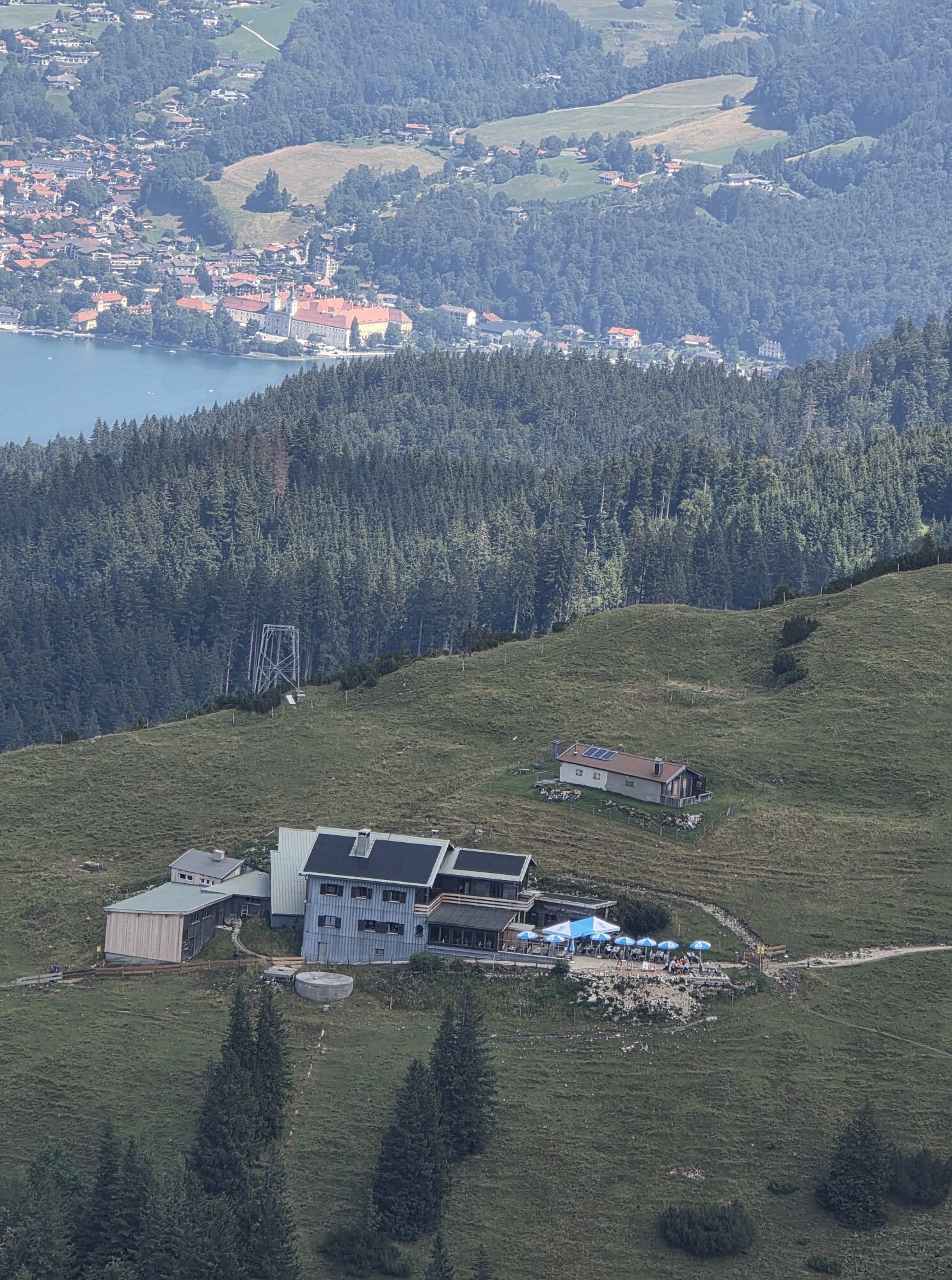
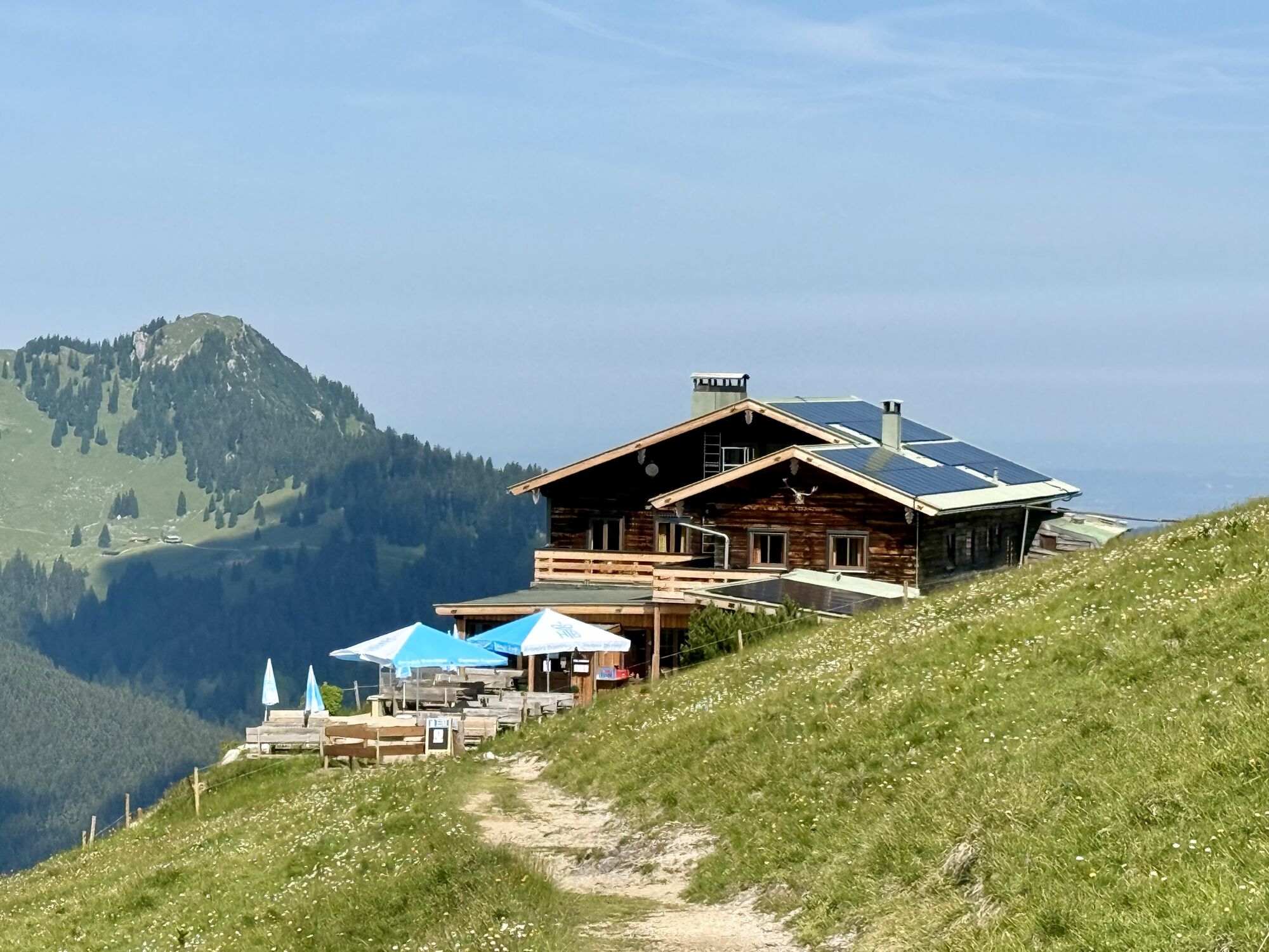
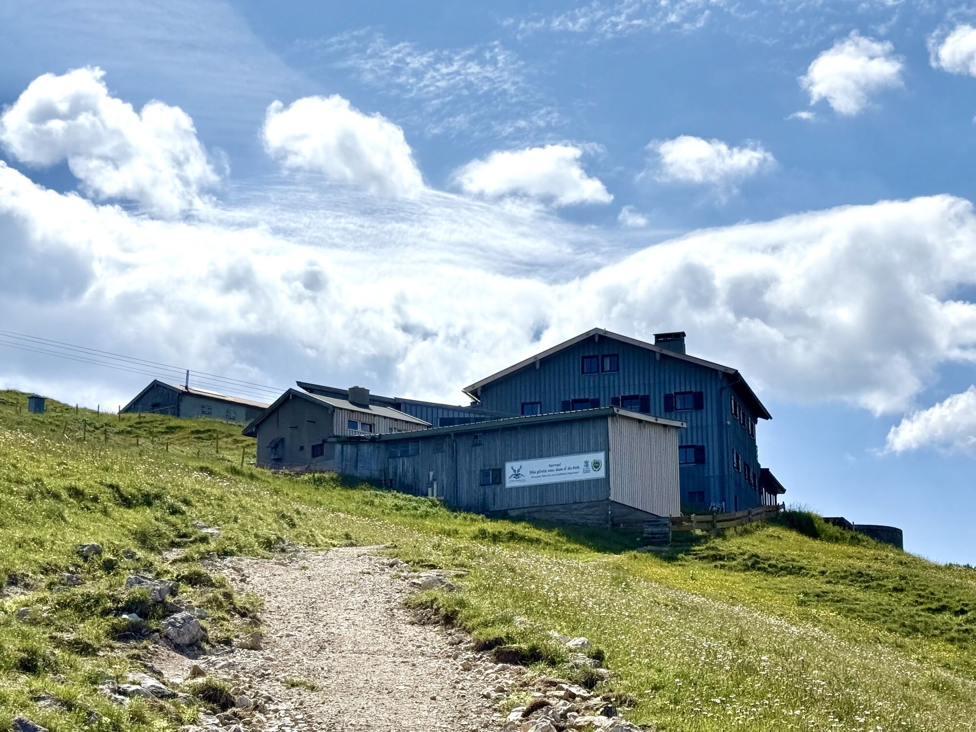
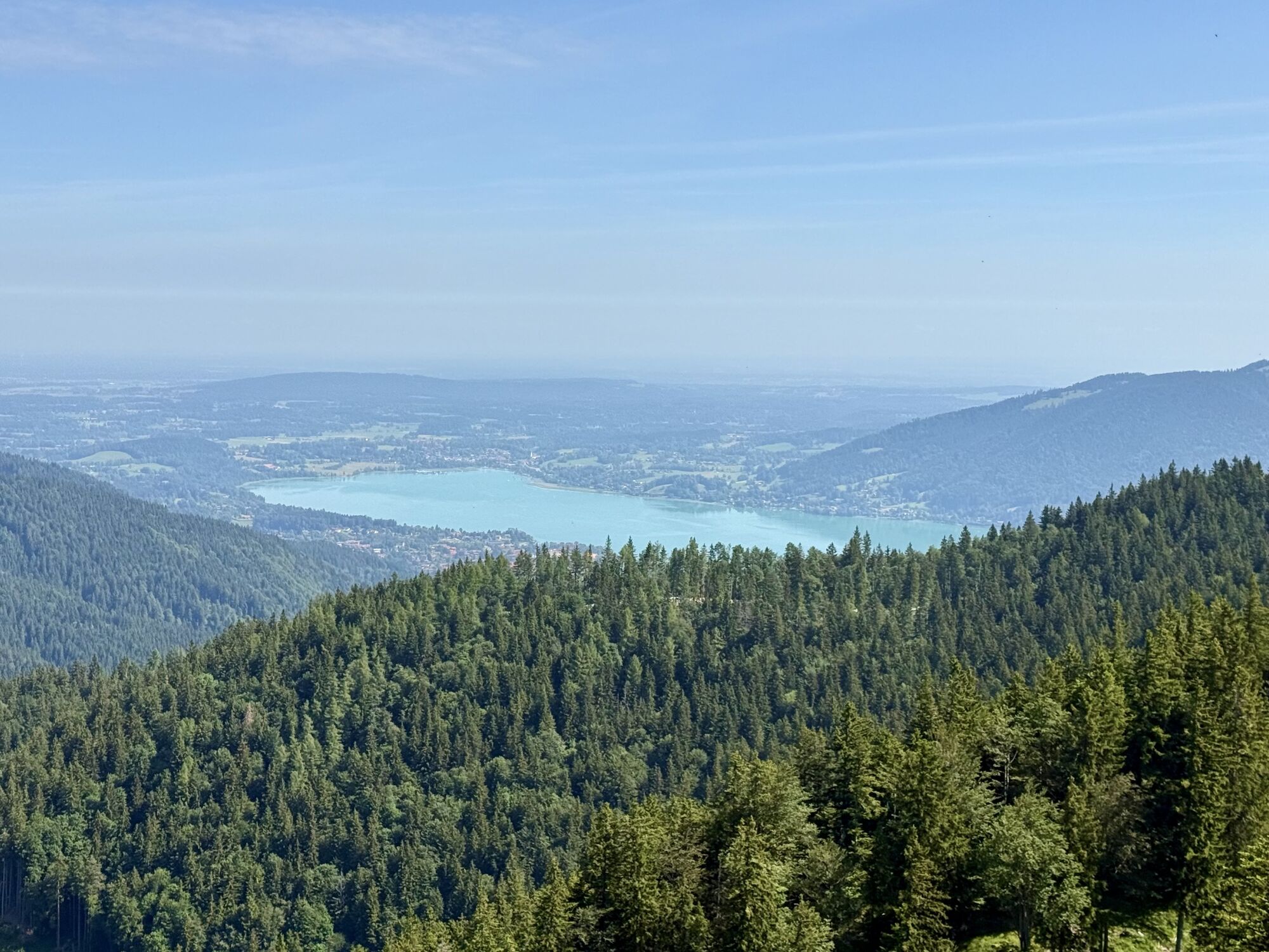
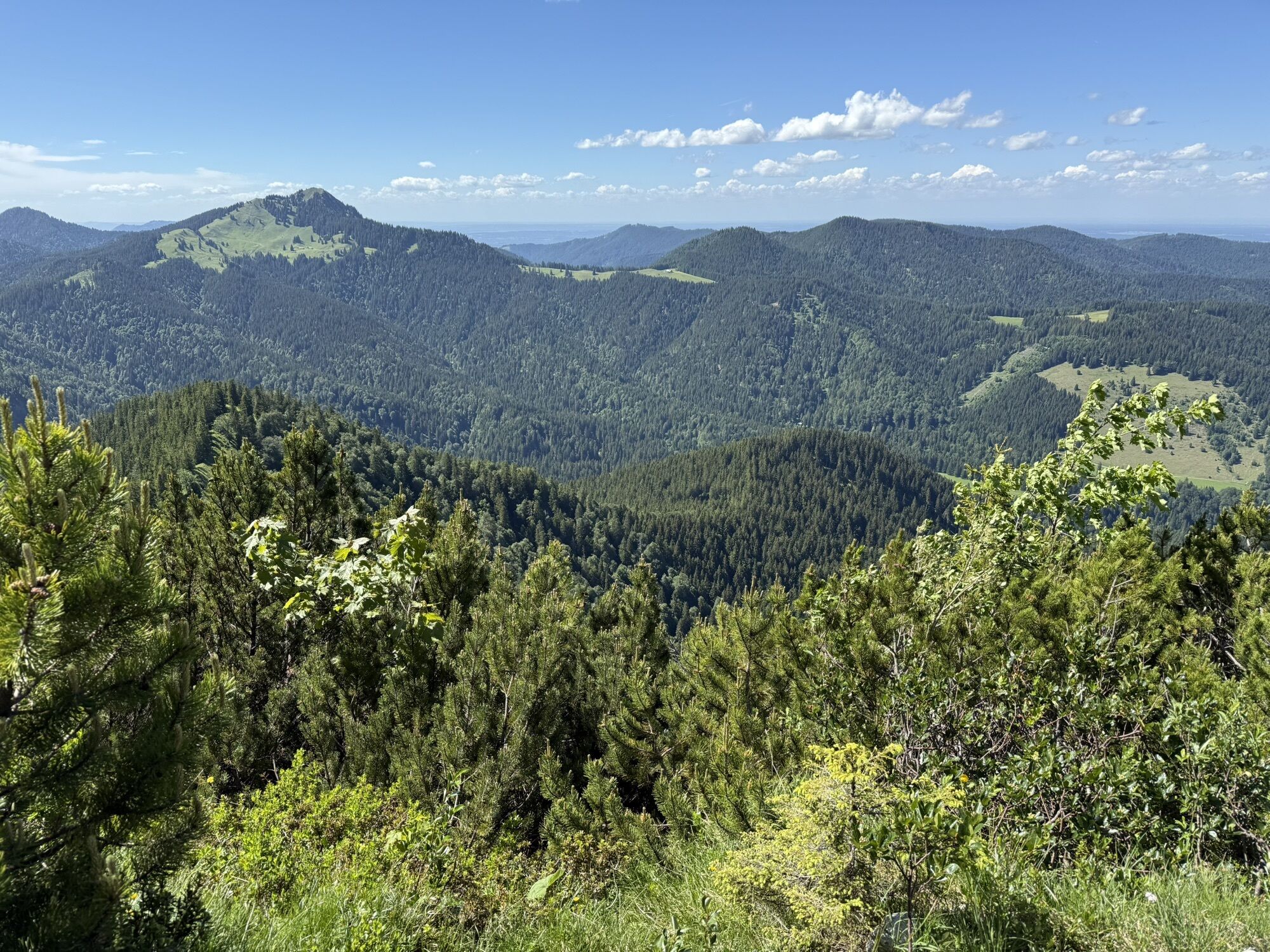
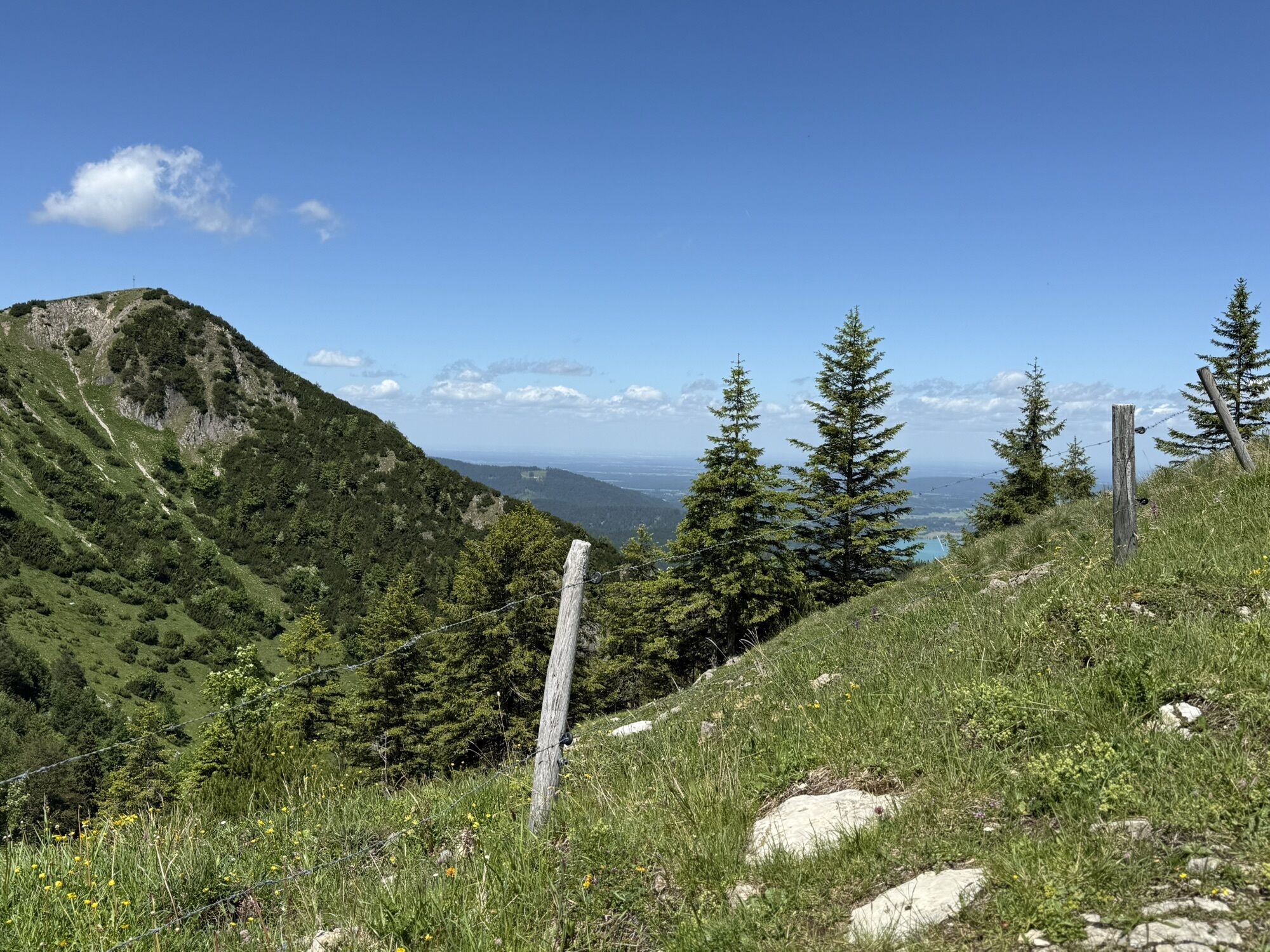
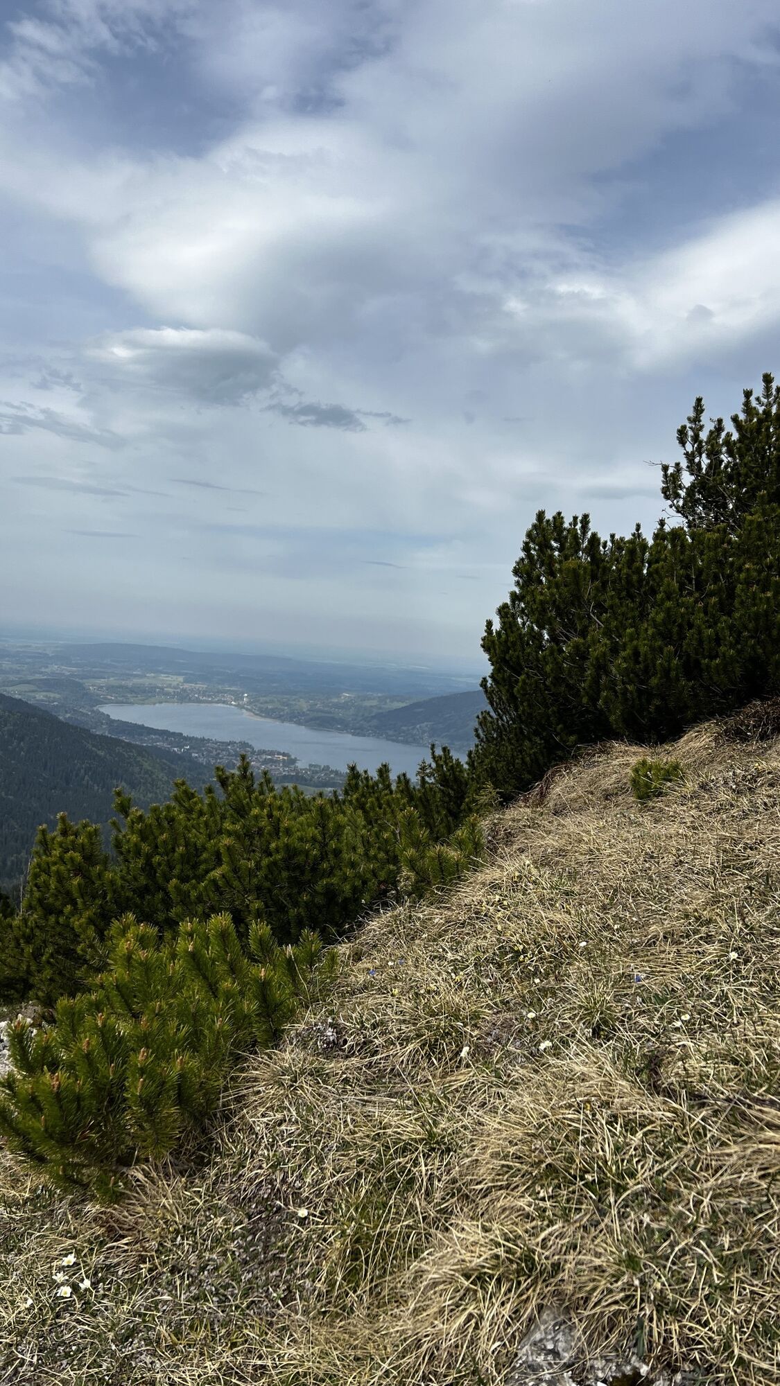
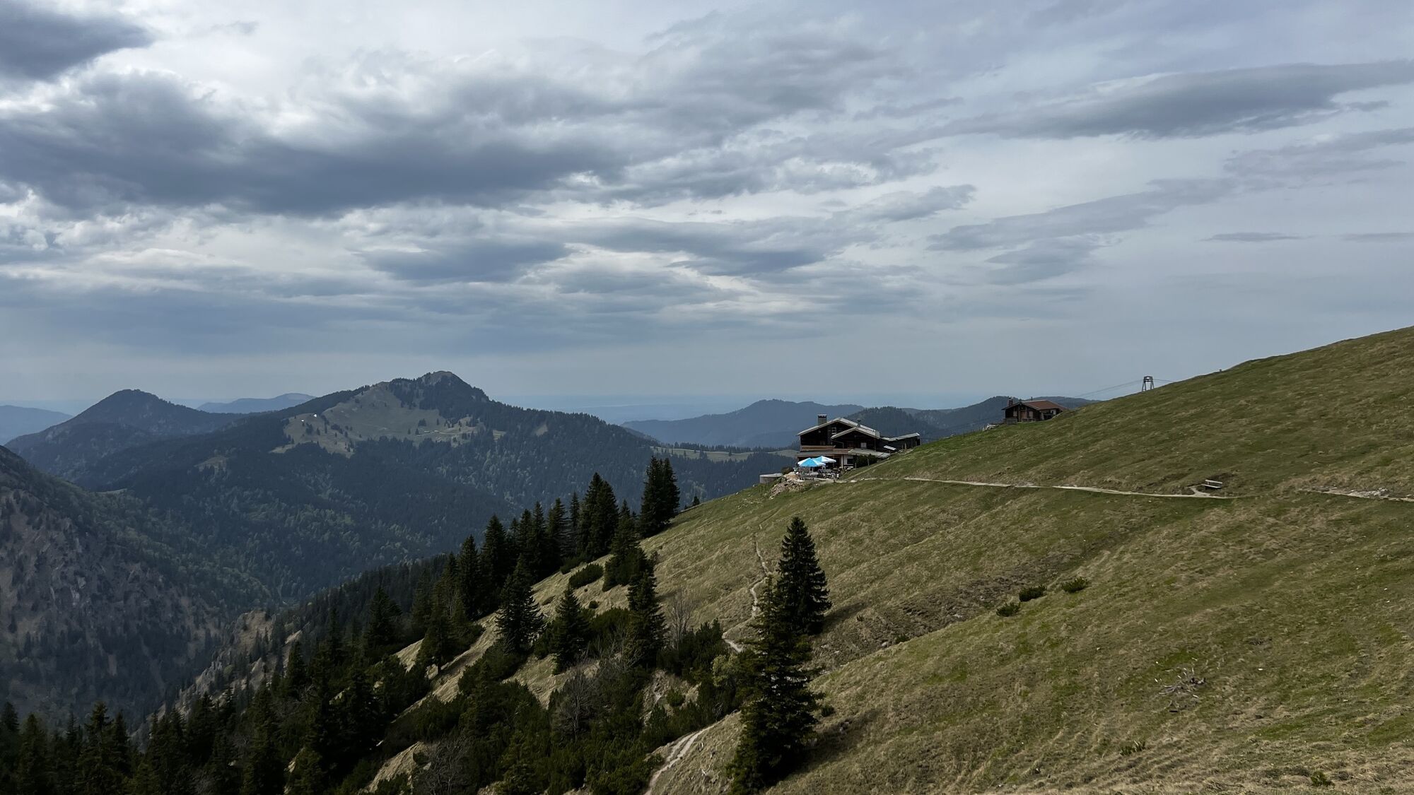
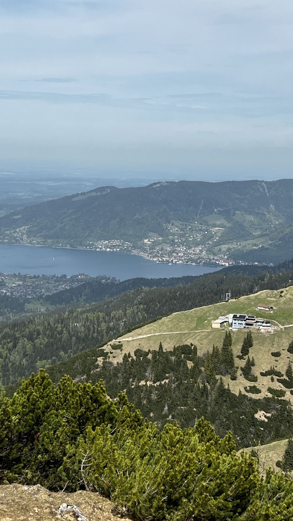
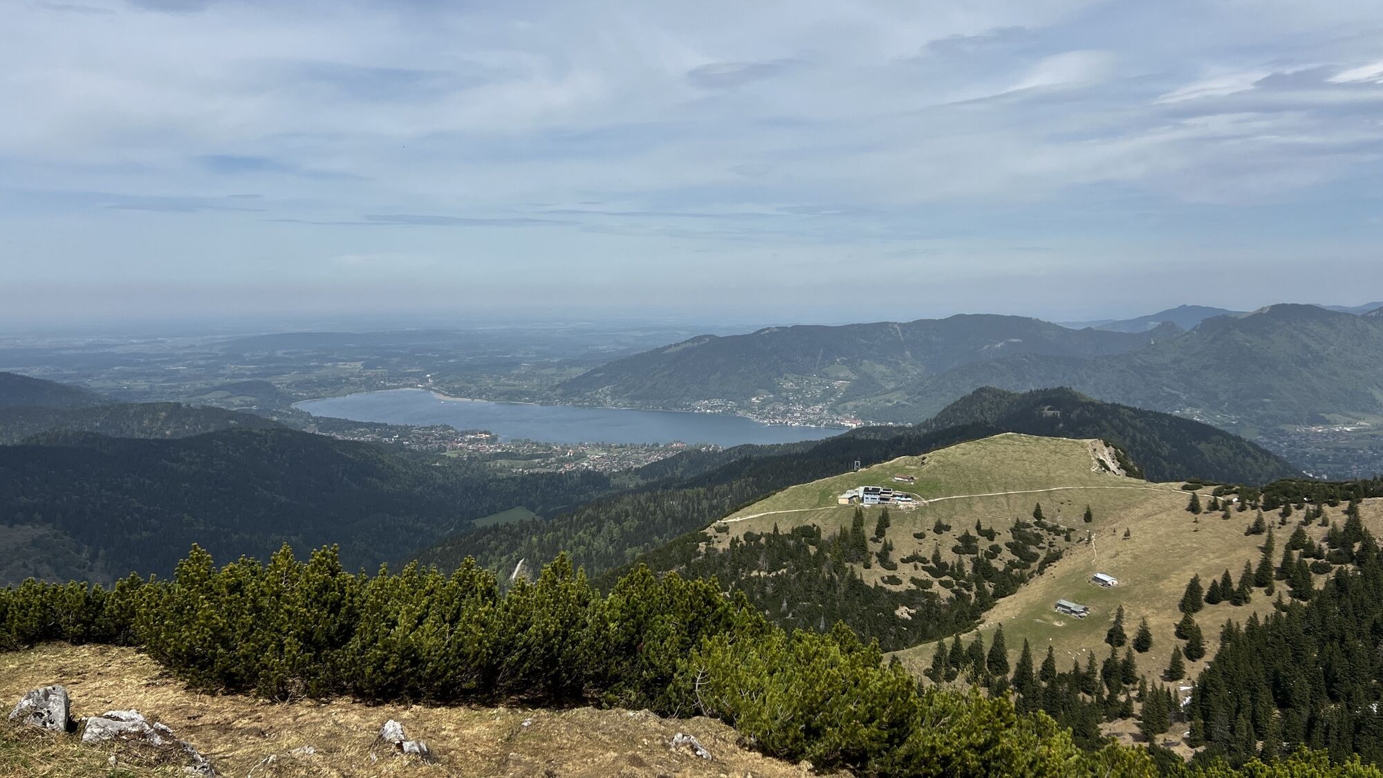
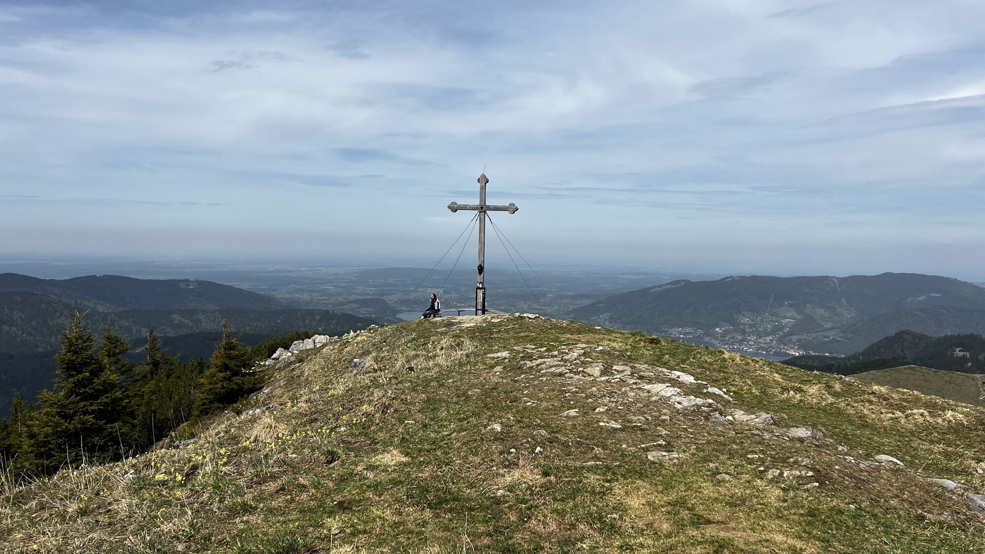
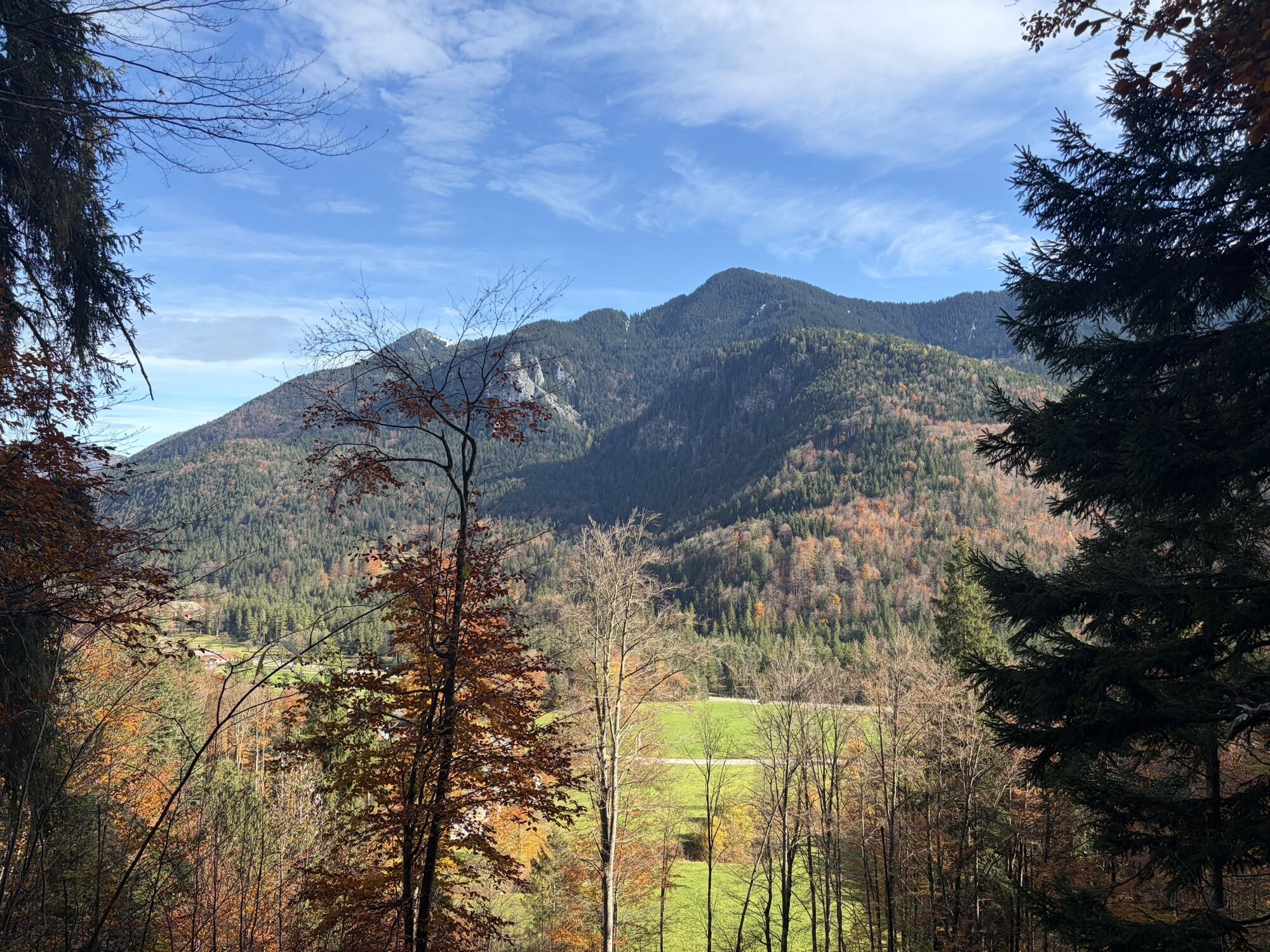
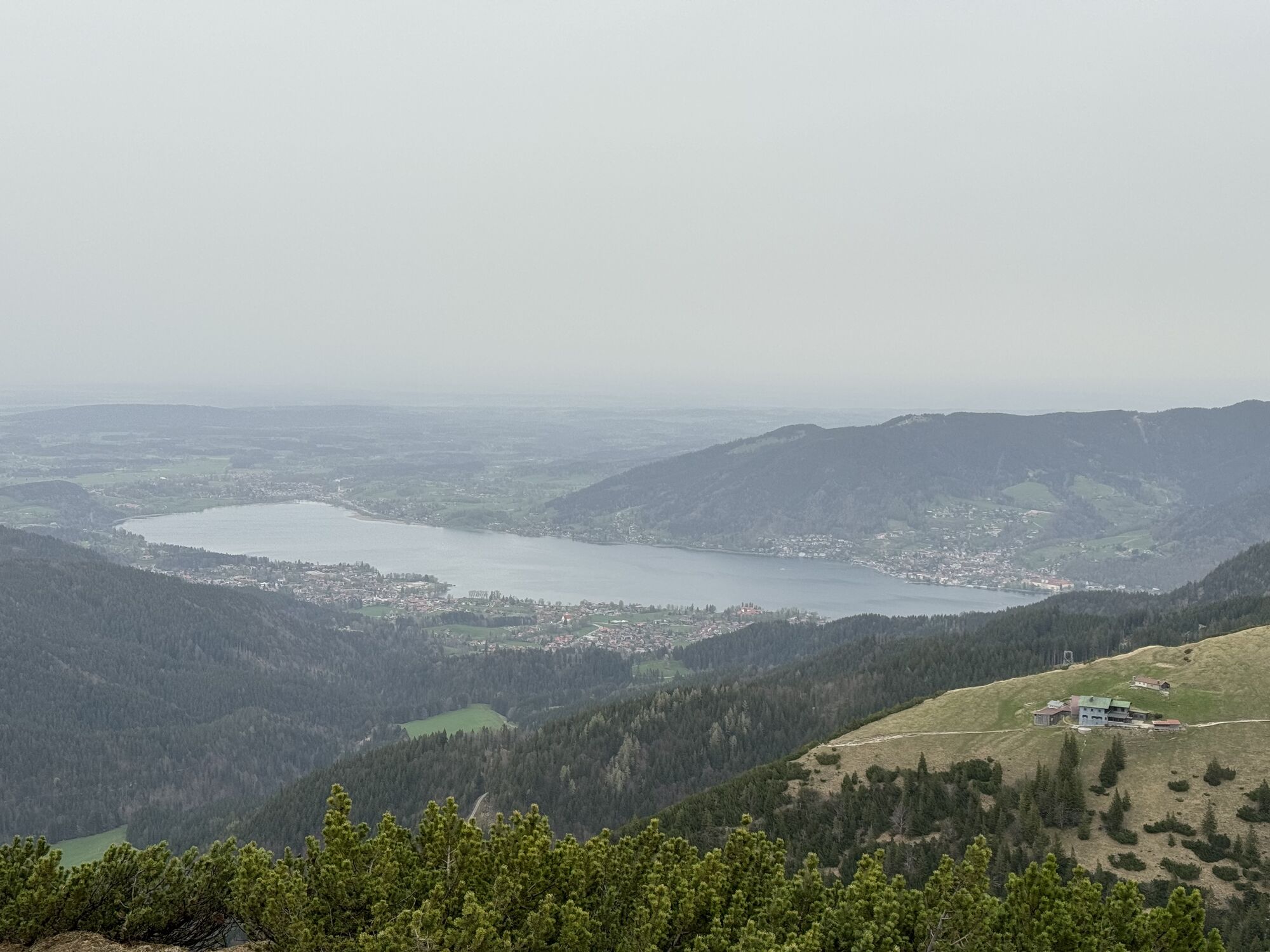
You are rarely alone on this summit because the Hirschberg is one of Munich's most popular local mountains. No wonder, as it is a beautiful mountain destination in all seasons. Hikers enjoy the paths to the flower-rich meadows of the Lucken-Alm and the magnificent view over the Tegernsee from the fore summit just behind the year-round operated Hirschberghaus.
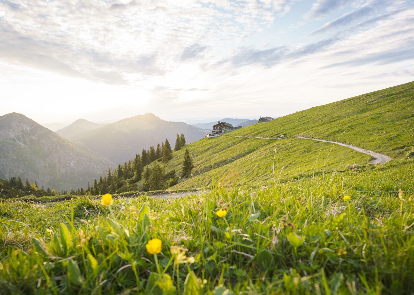
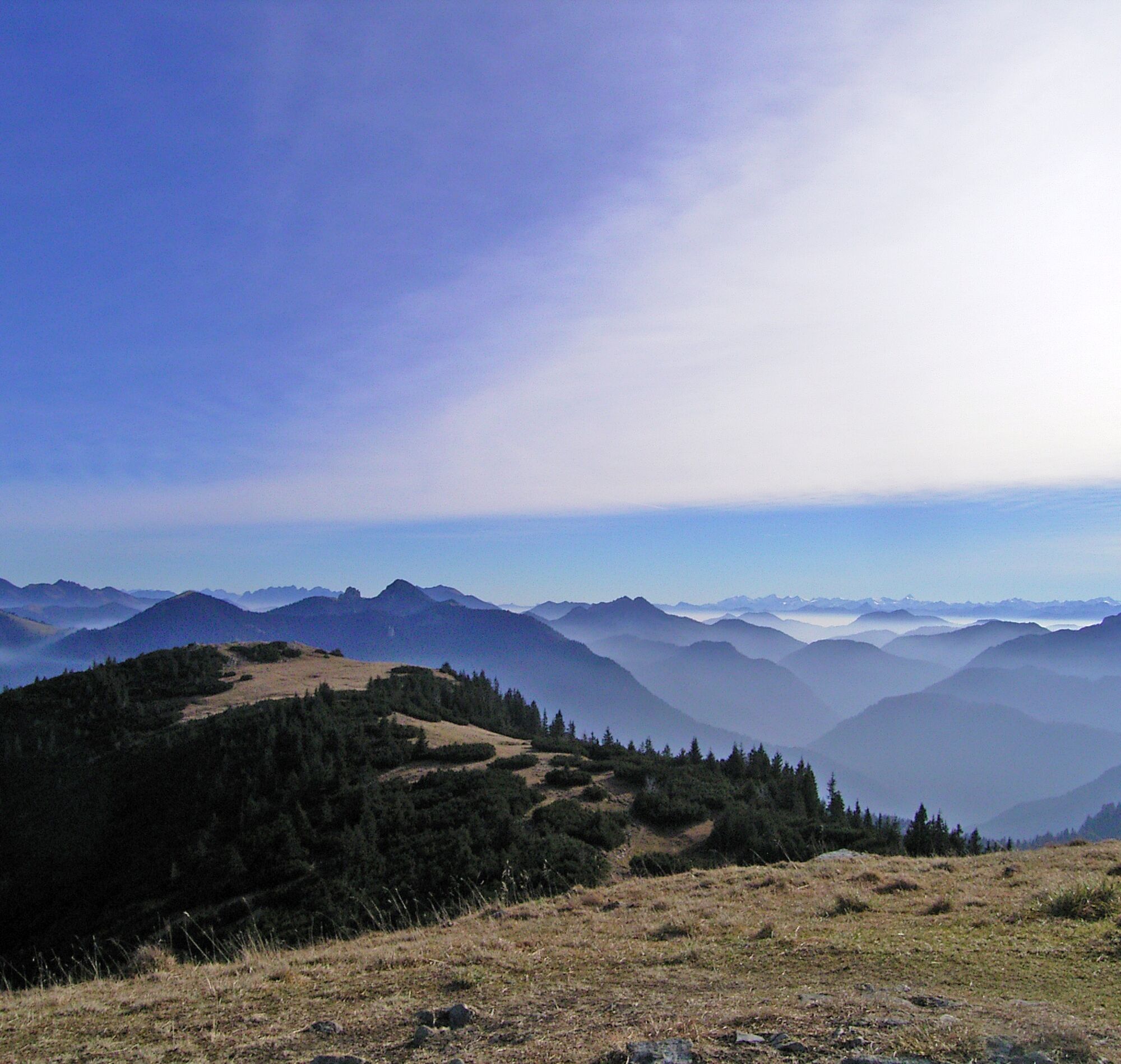
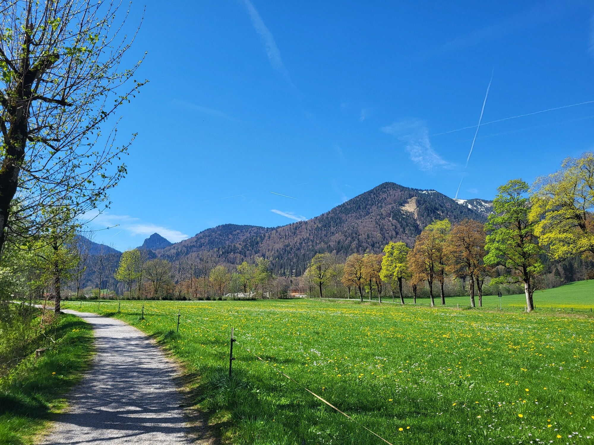
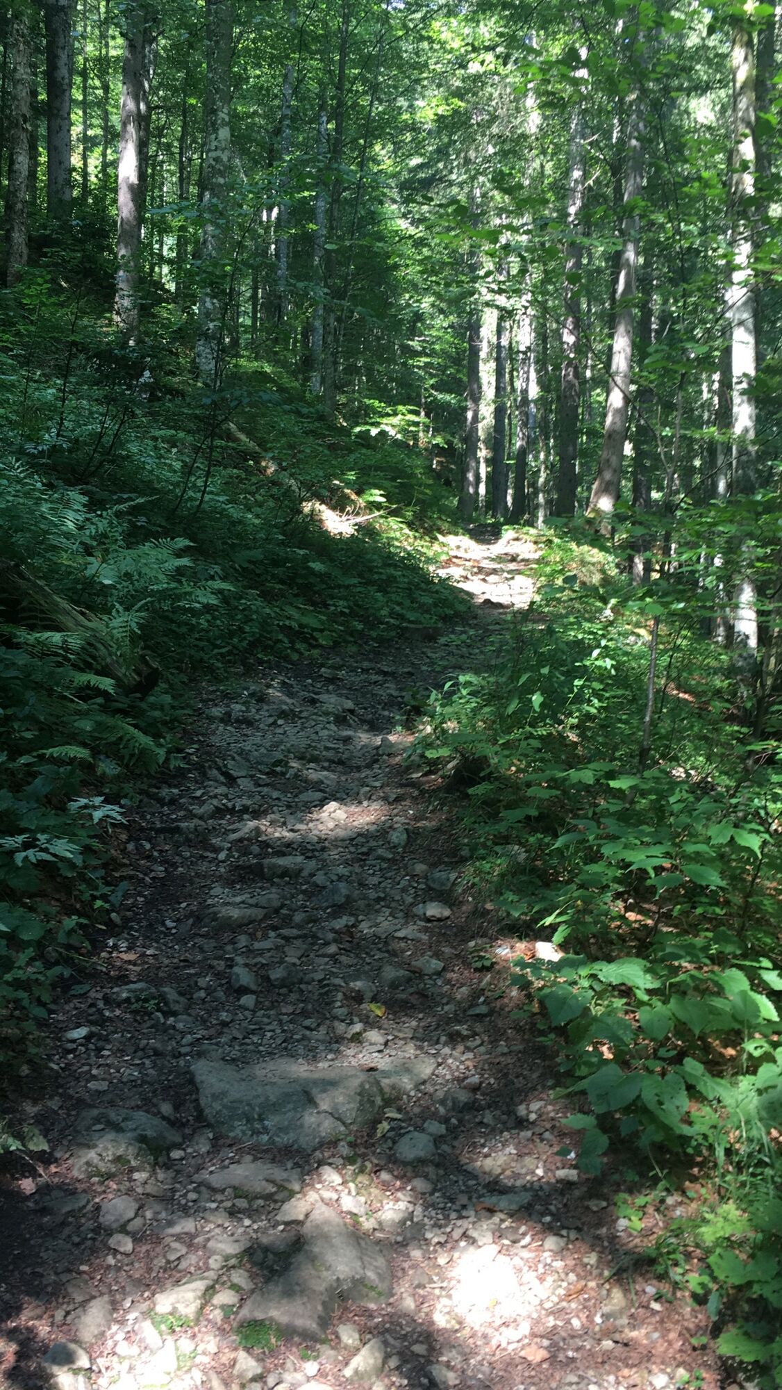
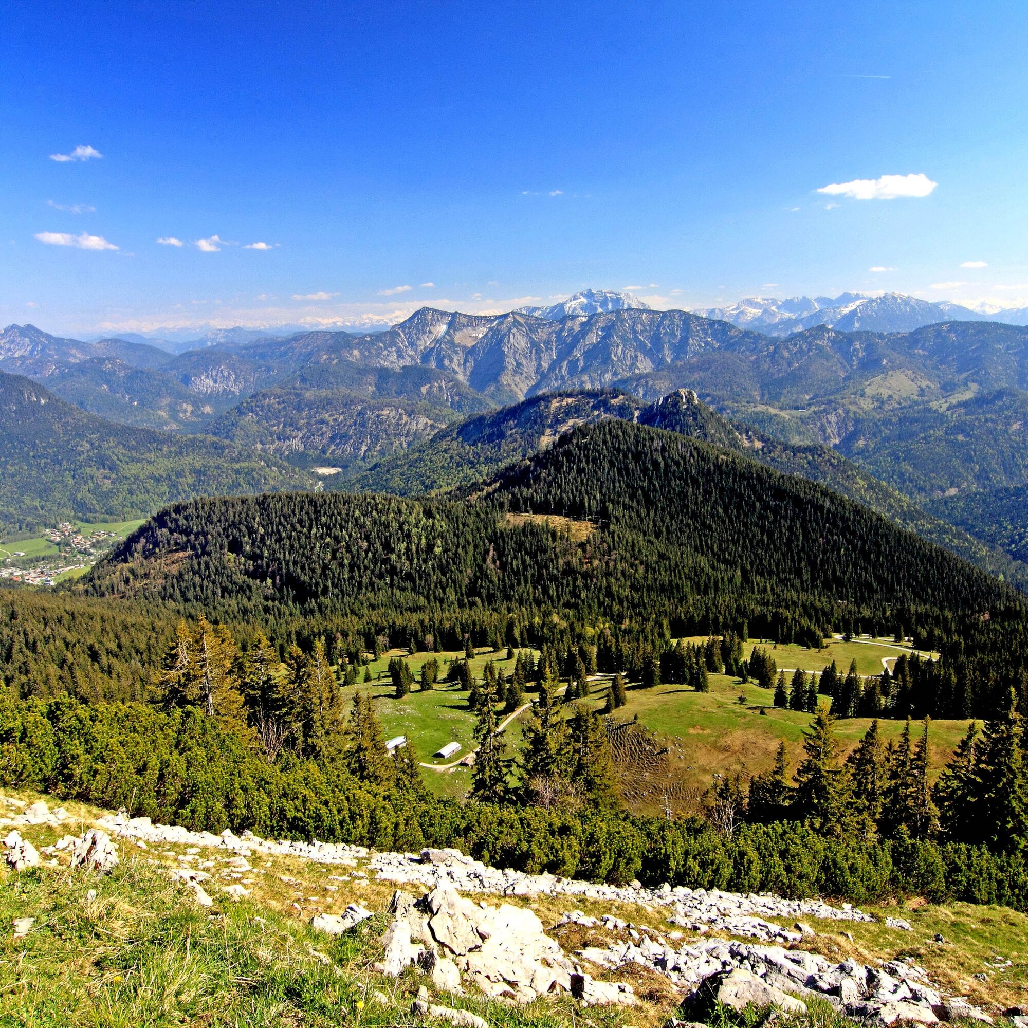
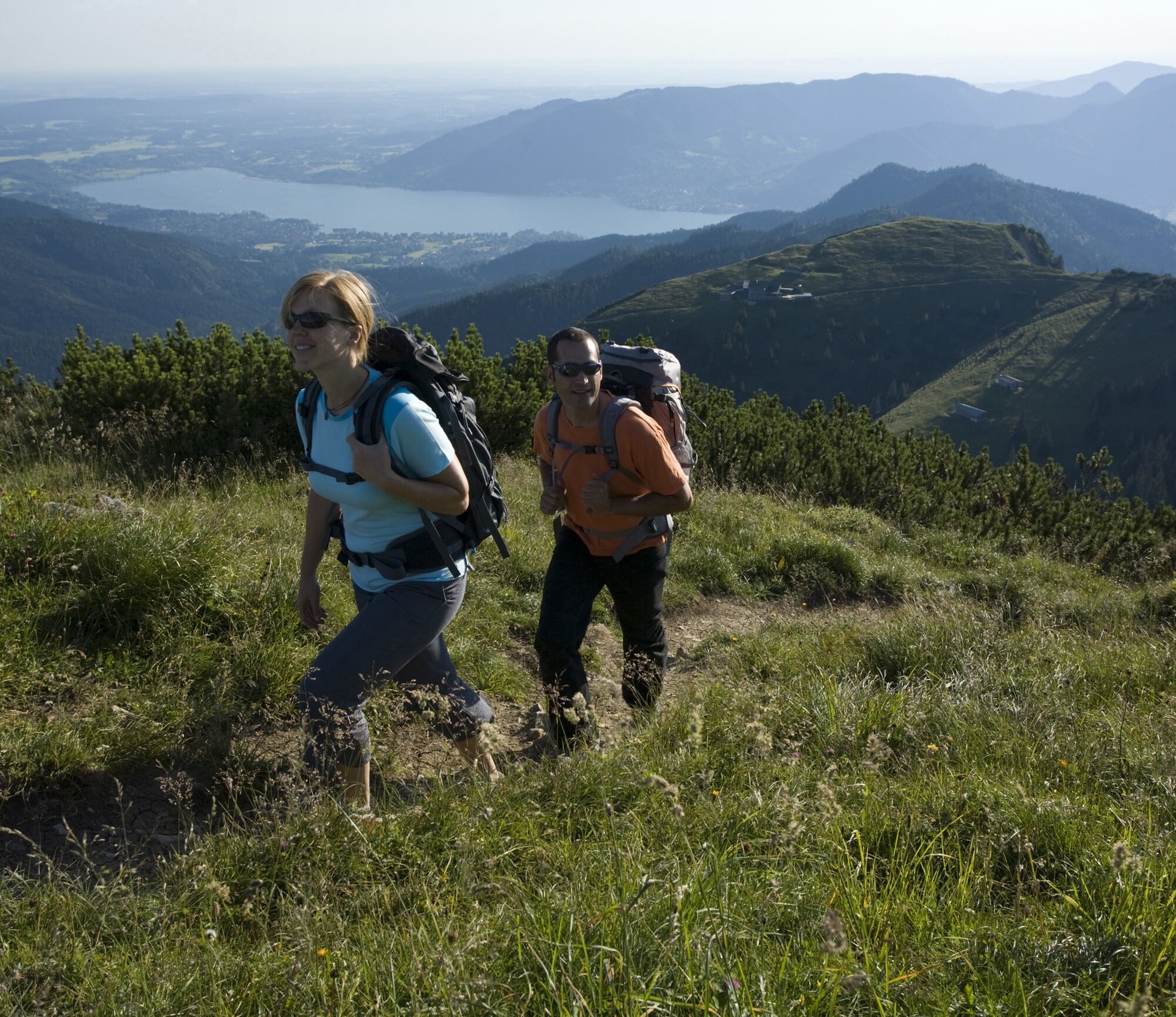
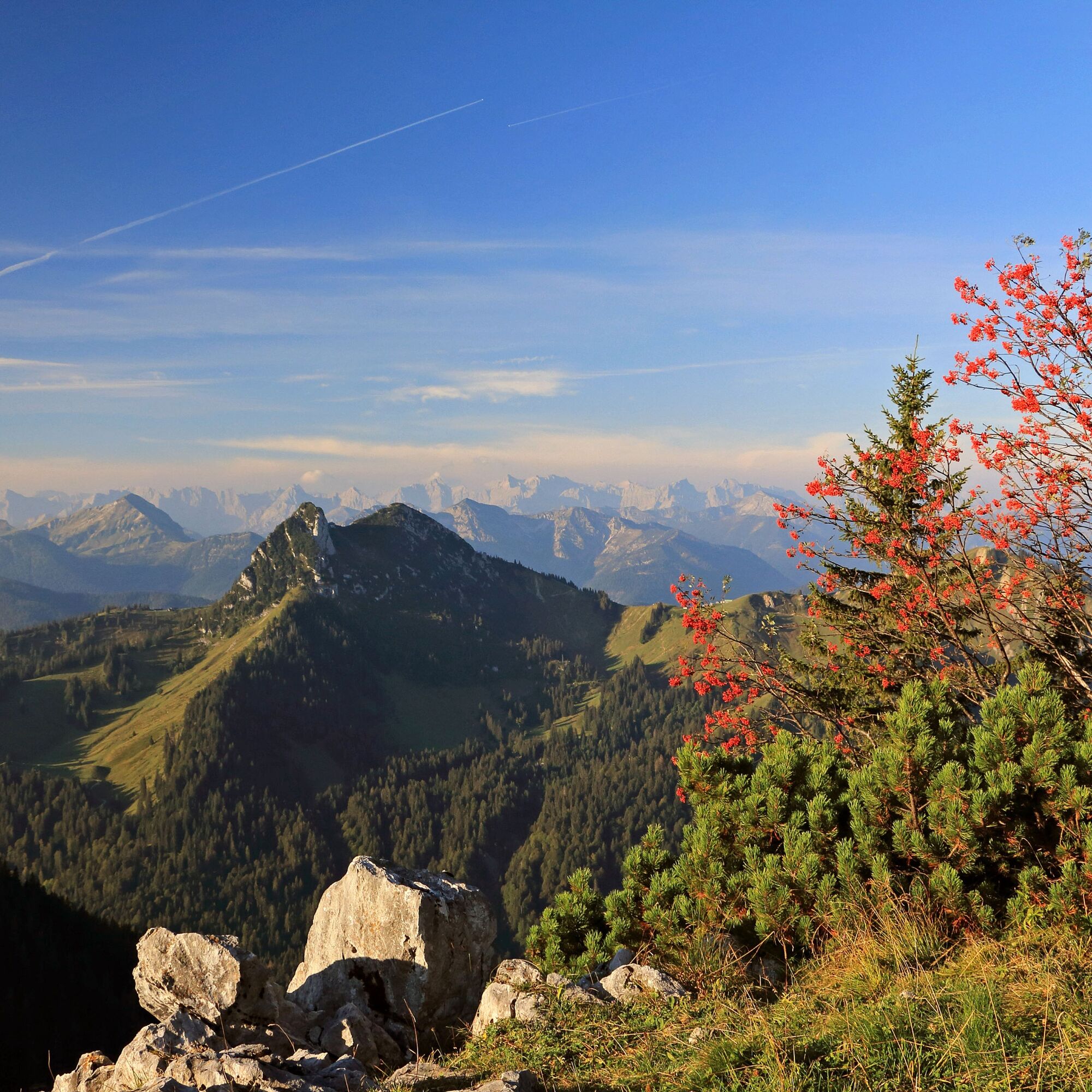
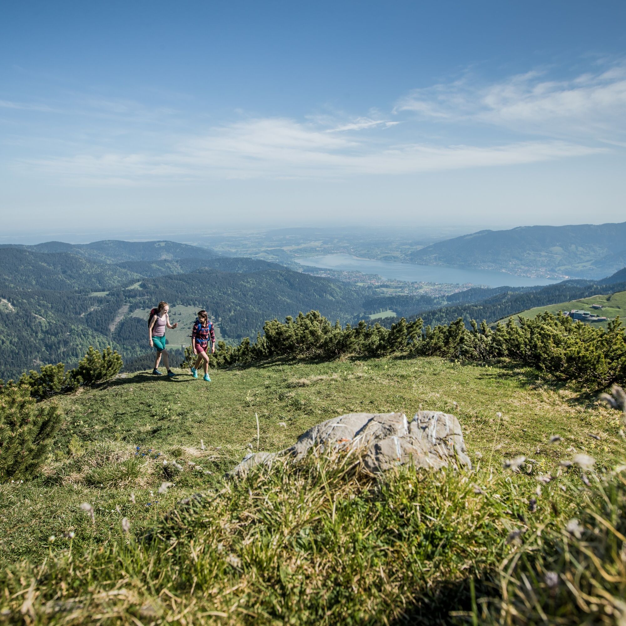
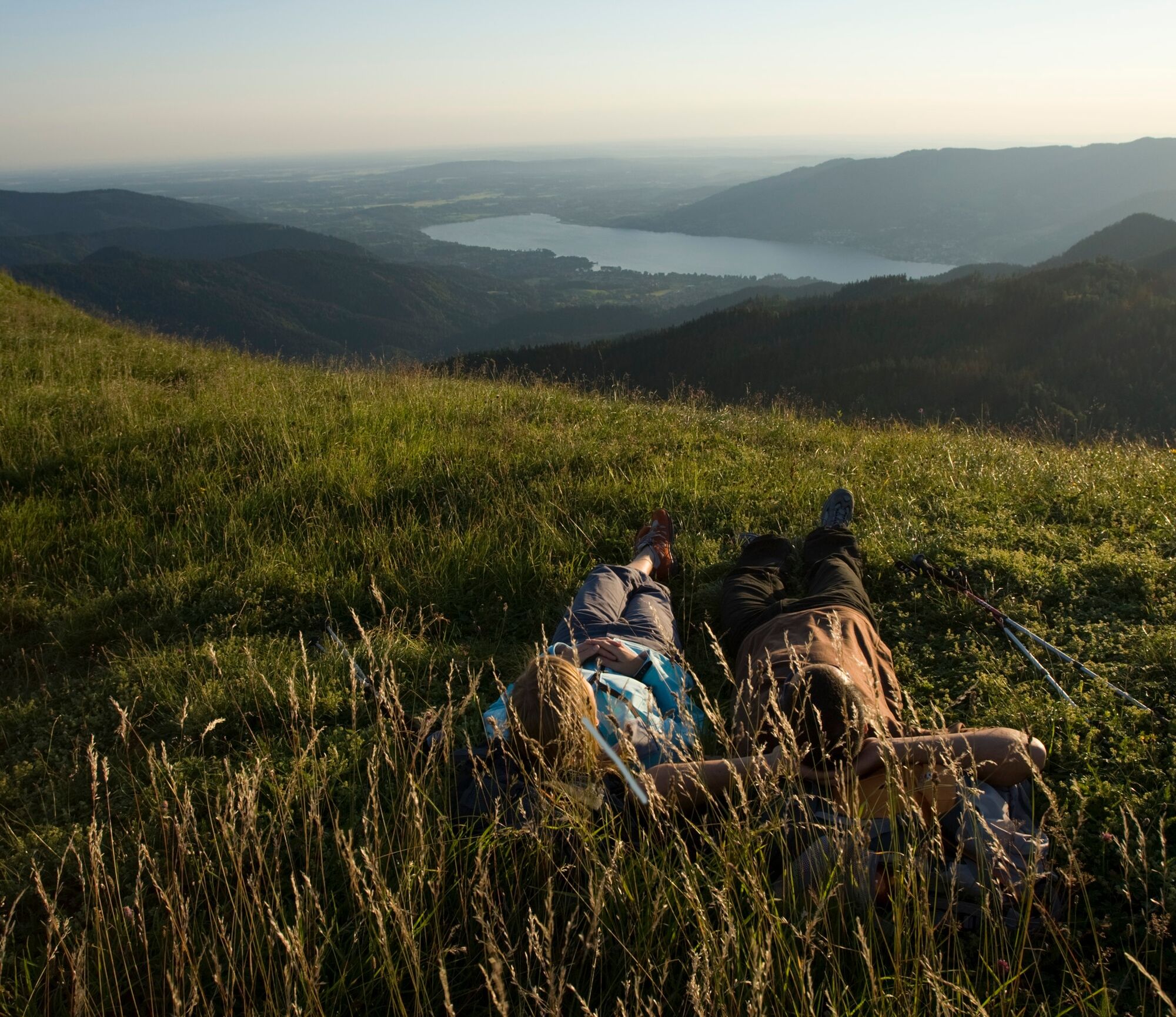
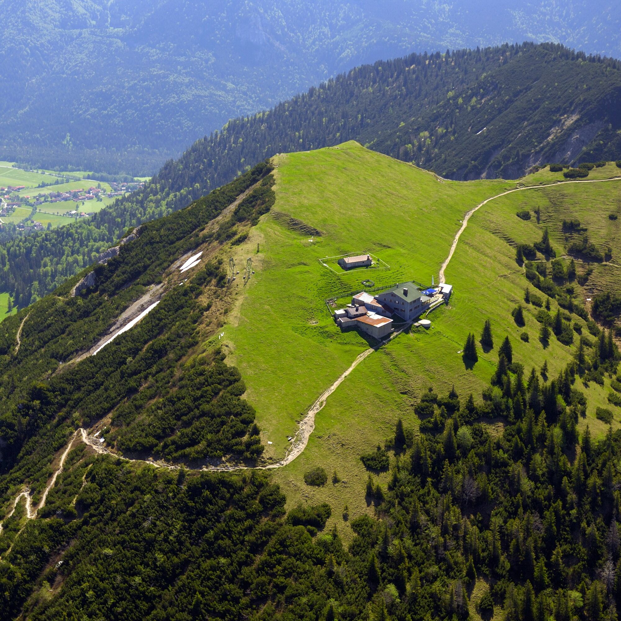
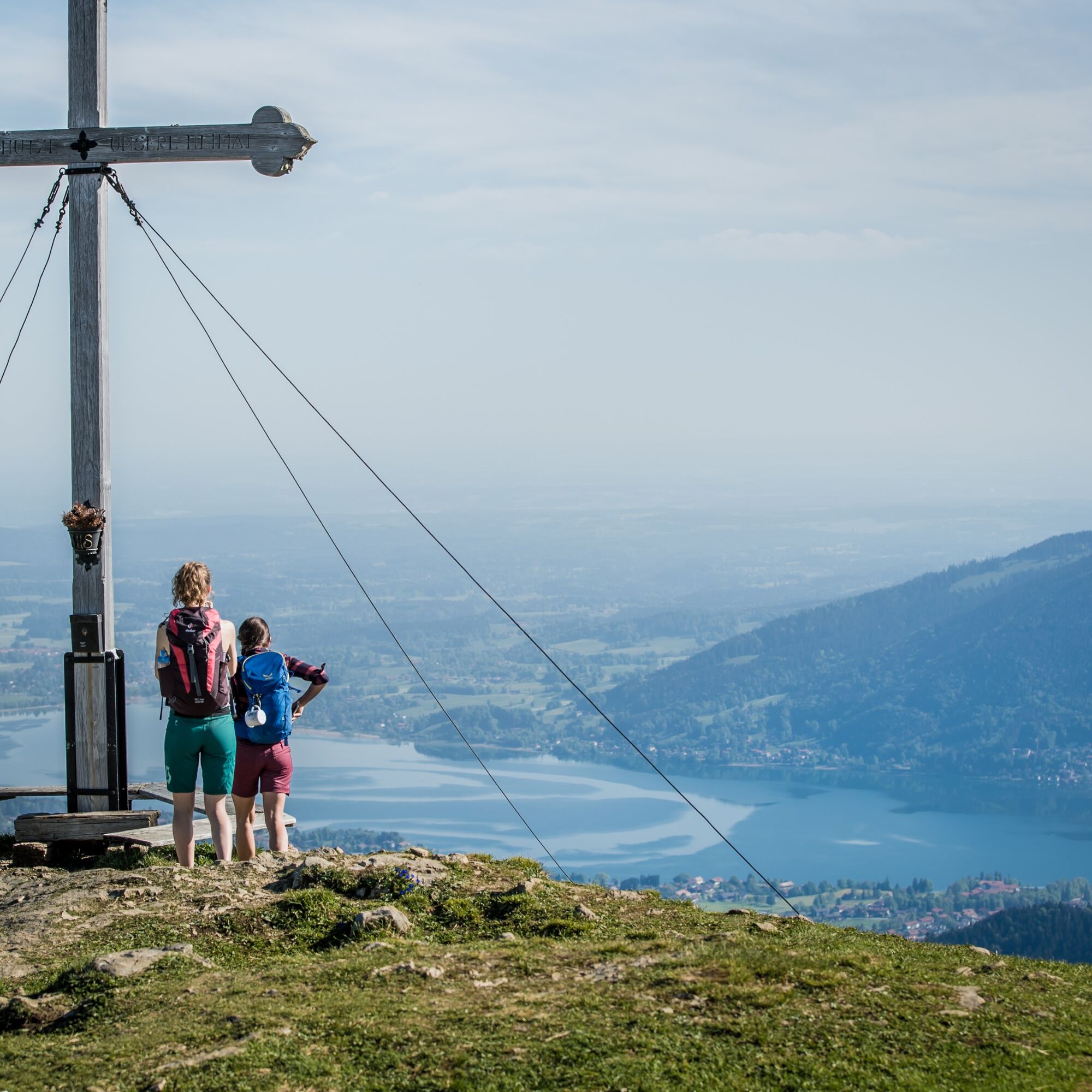
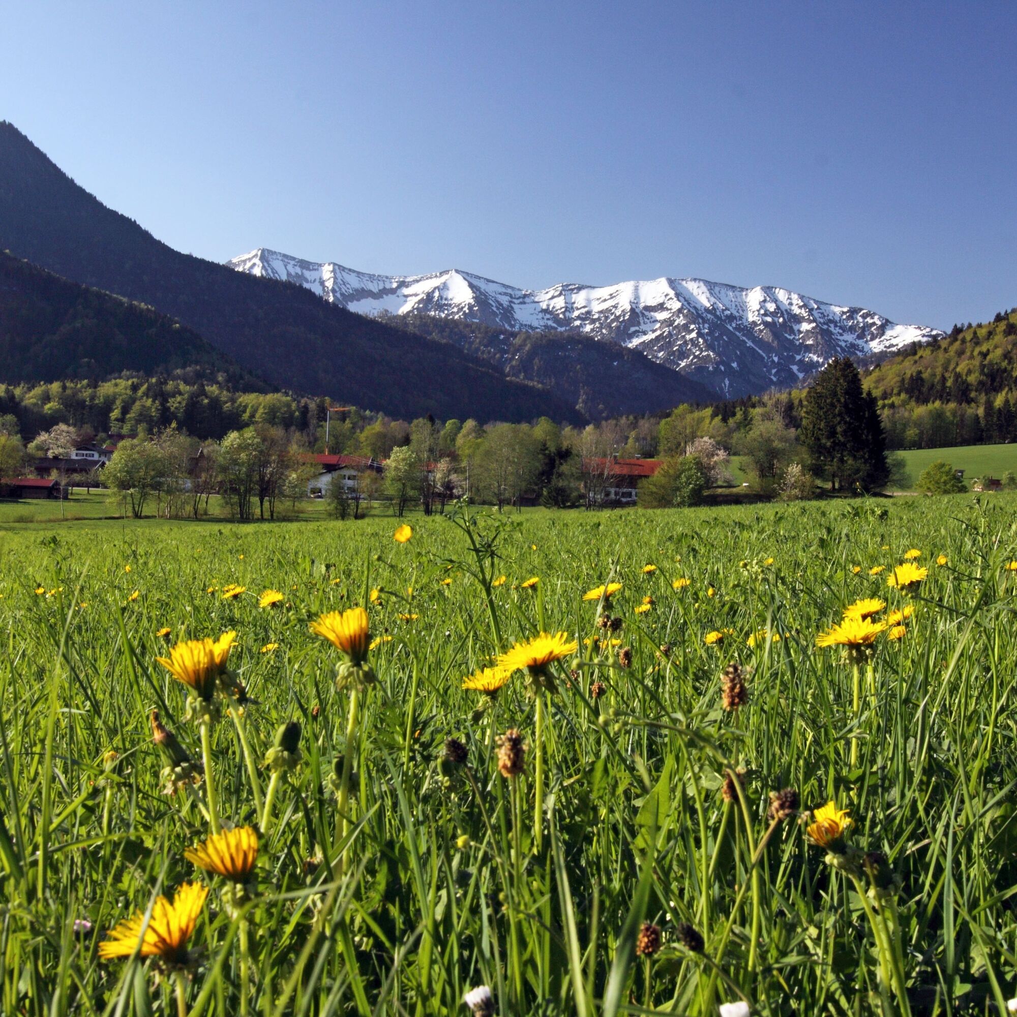

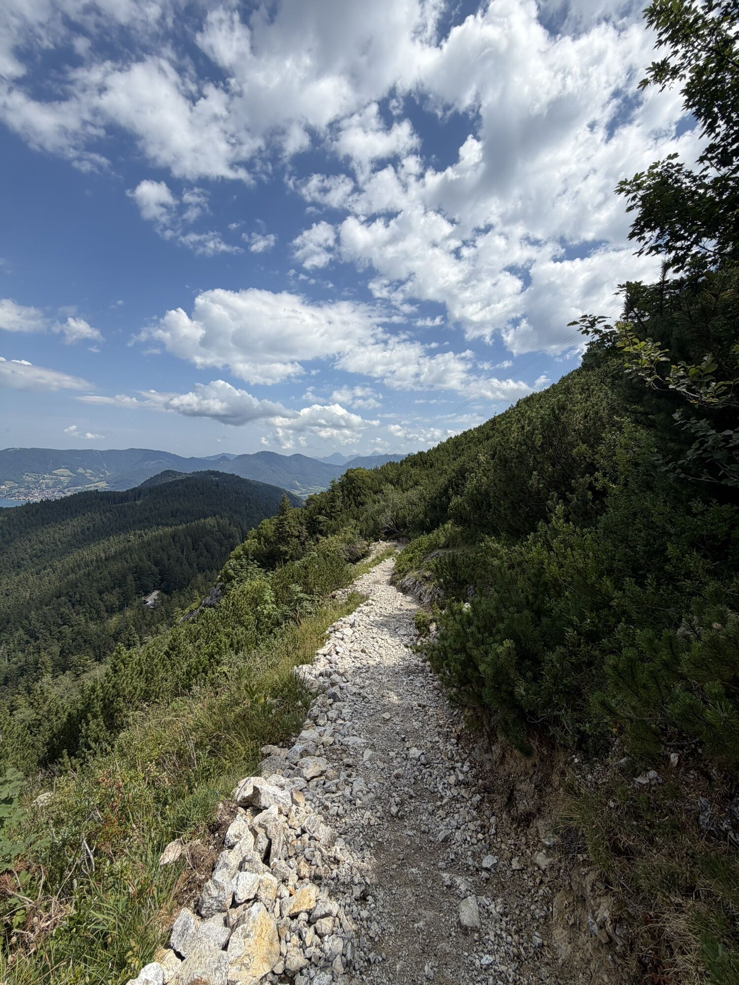
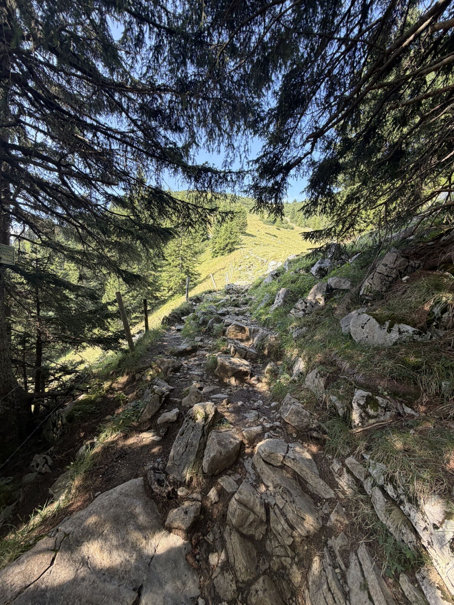
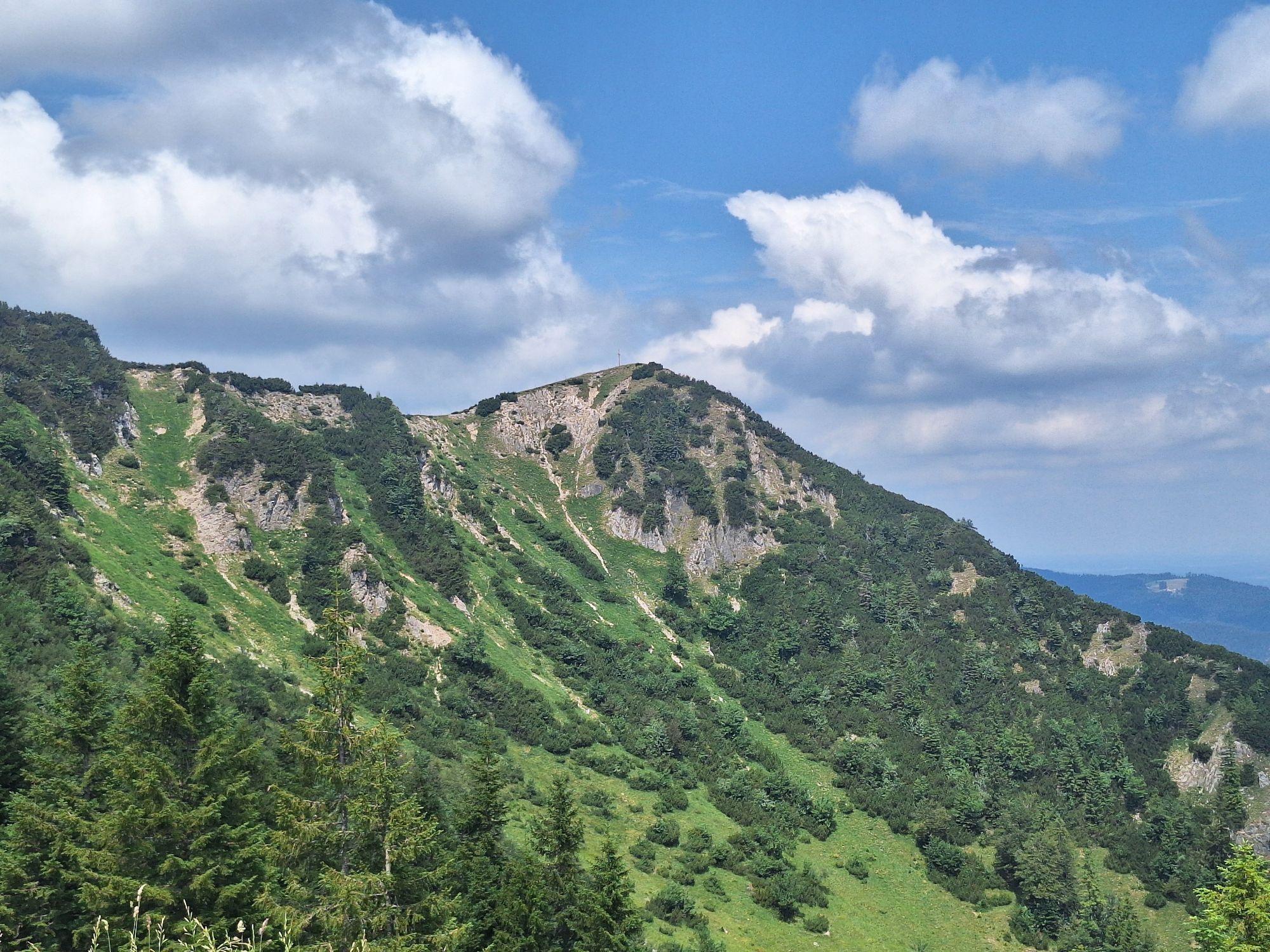
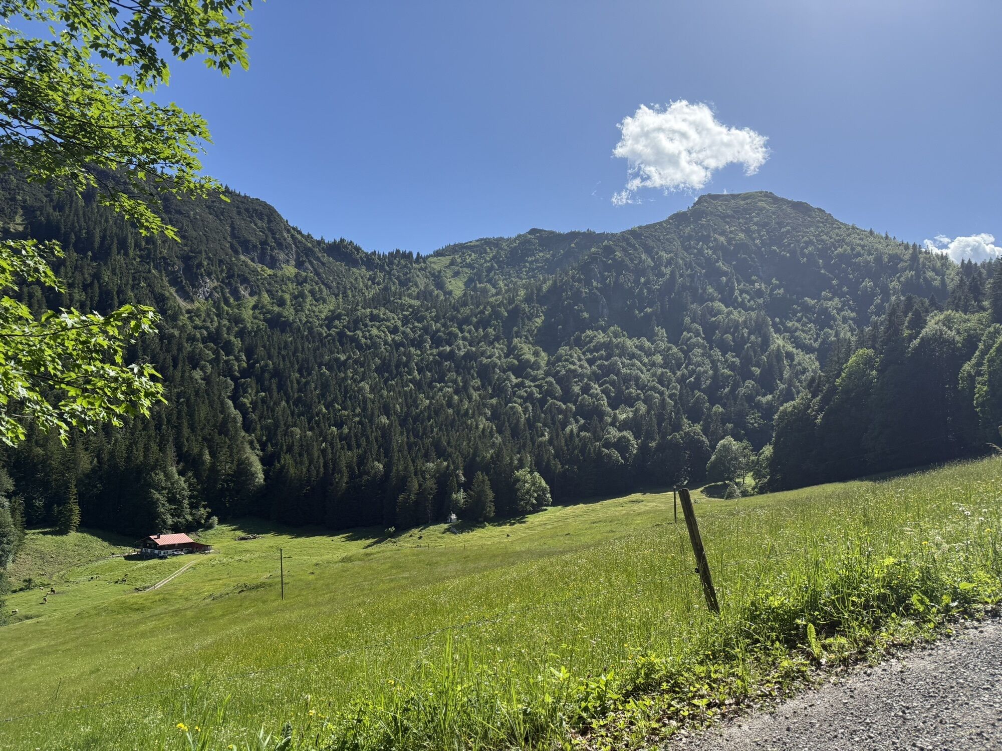
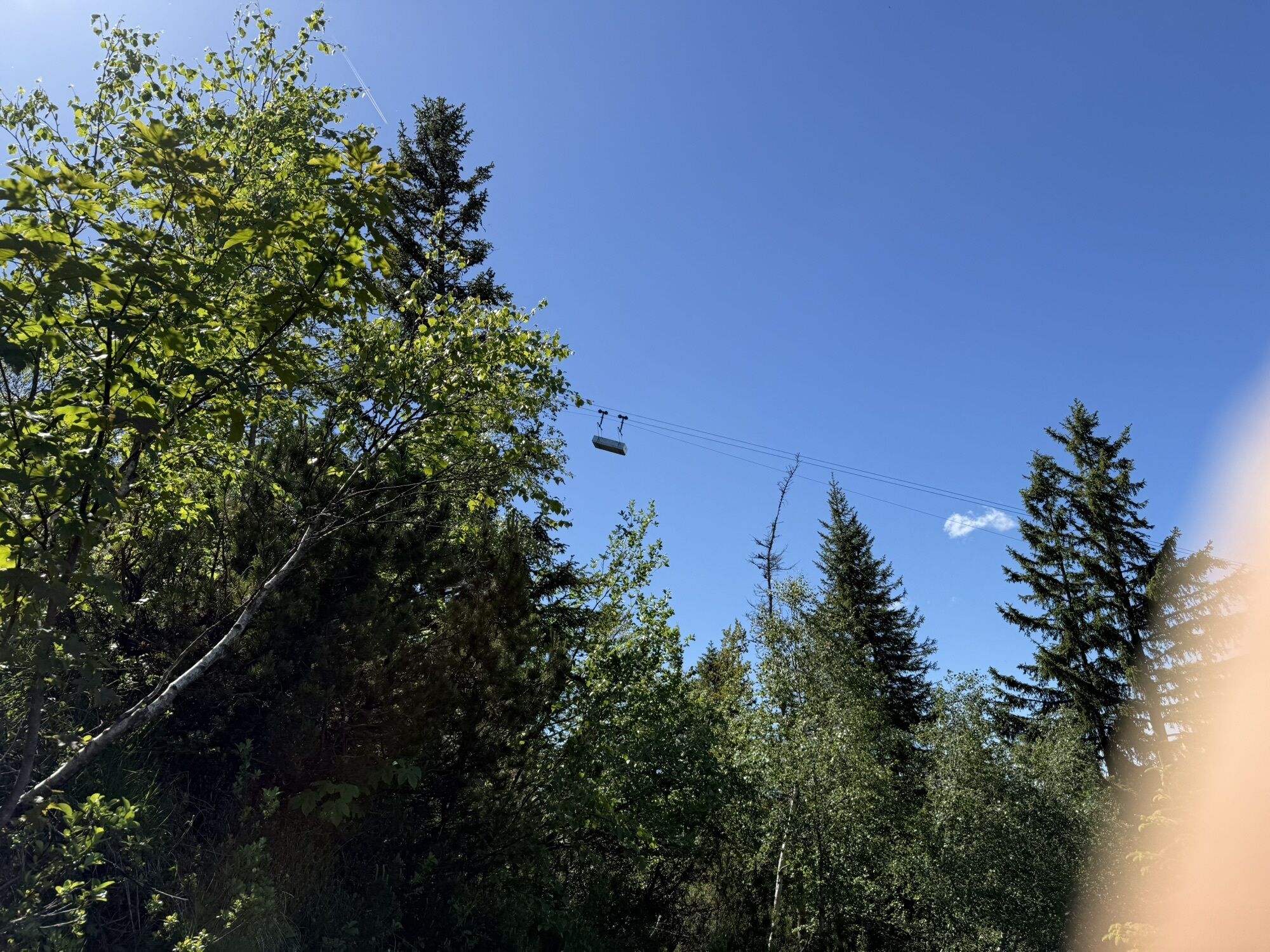
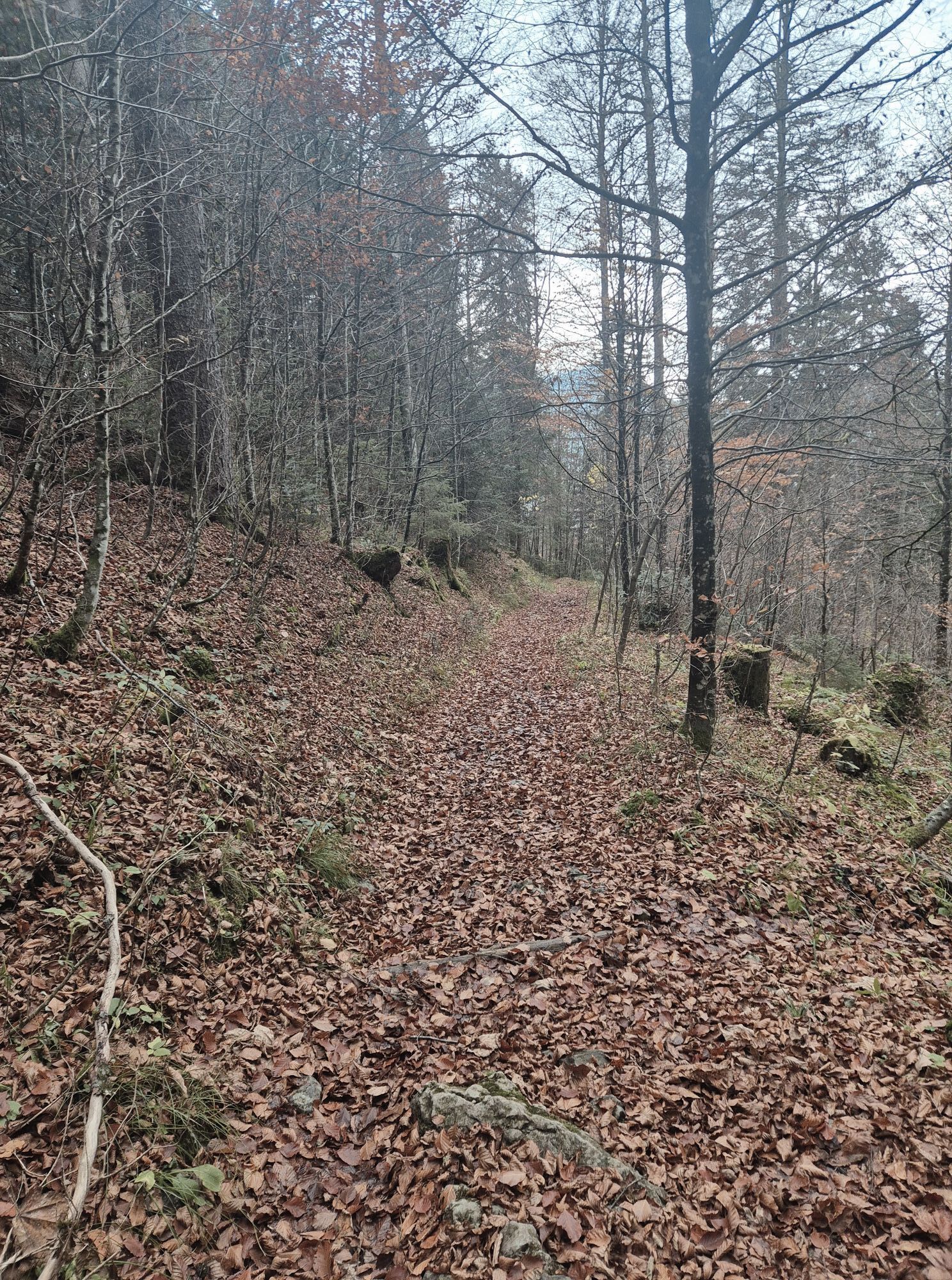
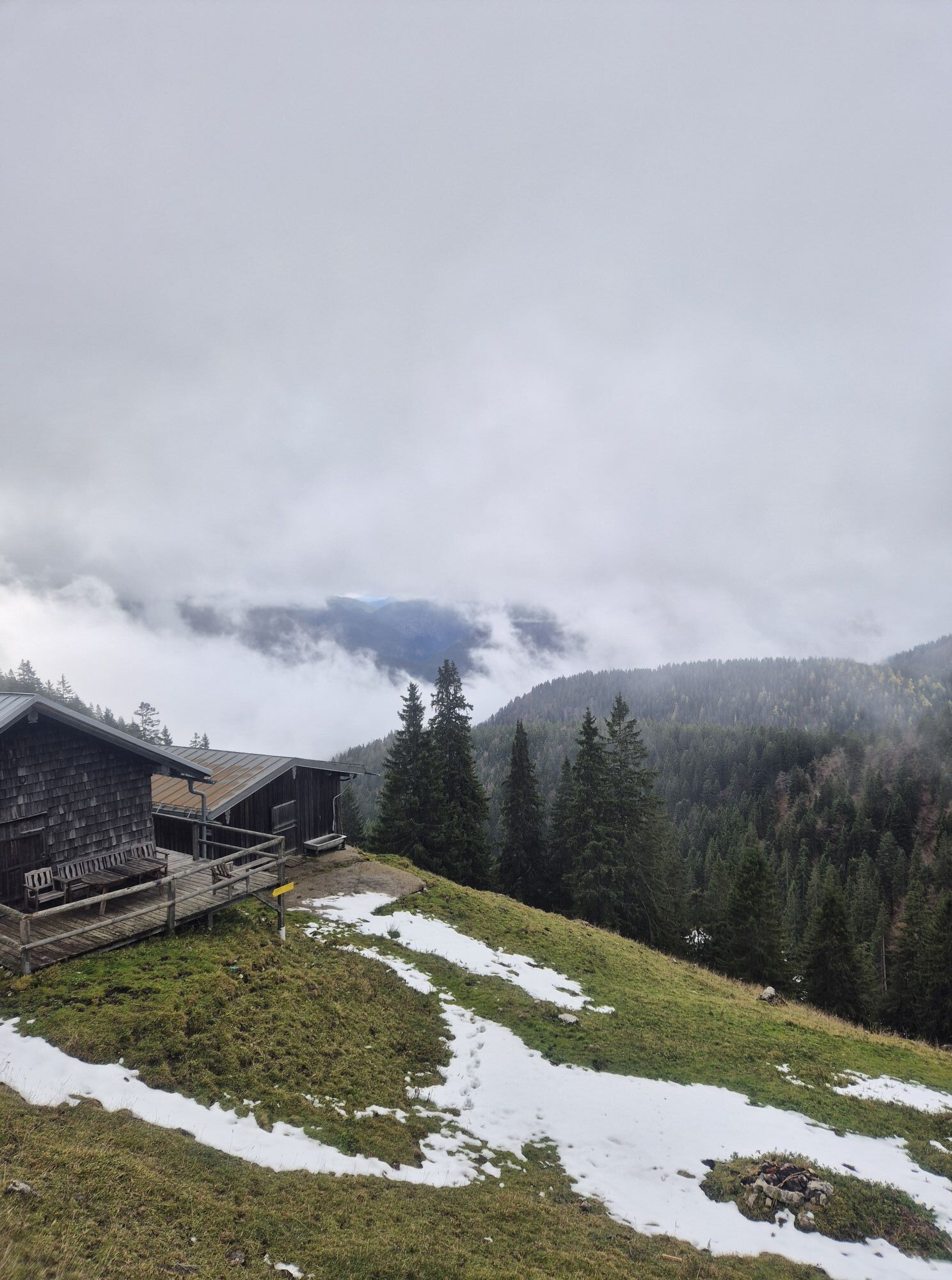
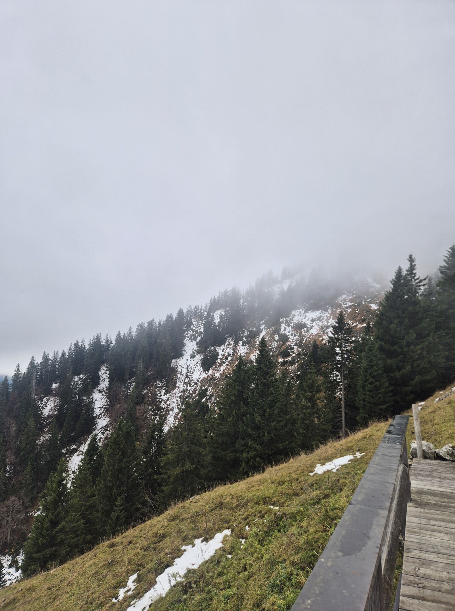
From Kreuth town hall, follow the signs of the Via Alpina through the Pletscherergraben up to just before the Gründ-Hütte of the Naturfreunde. Path 607b first runs along the stream and finally winds steeply uphill to the right over the Rauheck-Alm to the east summit of the Hirschberg. From there, you reach the main summit almost on level ground via a short, scenic ridge. The return route leads from the saddle between the main and east summit along a path through a dwarf pine forest to the nearby Hirschberghaus, where a welcome refreshment awaits for the descent. The path continues downhill, winding under the material cable car until it turns into a comfortable forest road (path 607) at the base station of the material lift. In winter, sledders ascend here on their sleds; in summer, the route goes down the switchbacks on foot to Scharling and via Brunnbichl (path 504) back to the starting point in Kreuth.
Tak
Sturdy footwear and weather-appropriate clothing, possibly rain jacket, water bottle, first aid kit
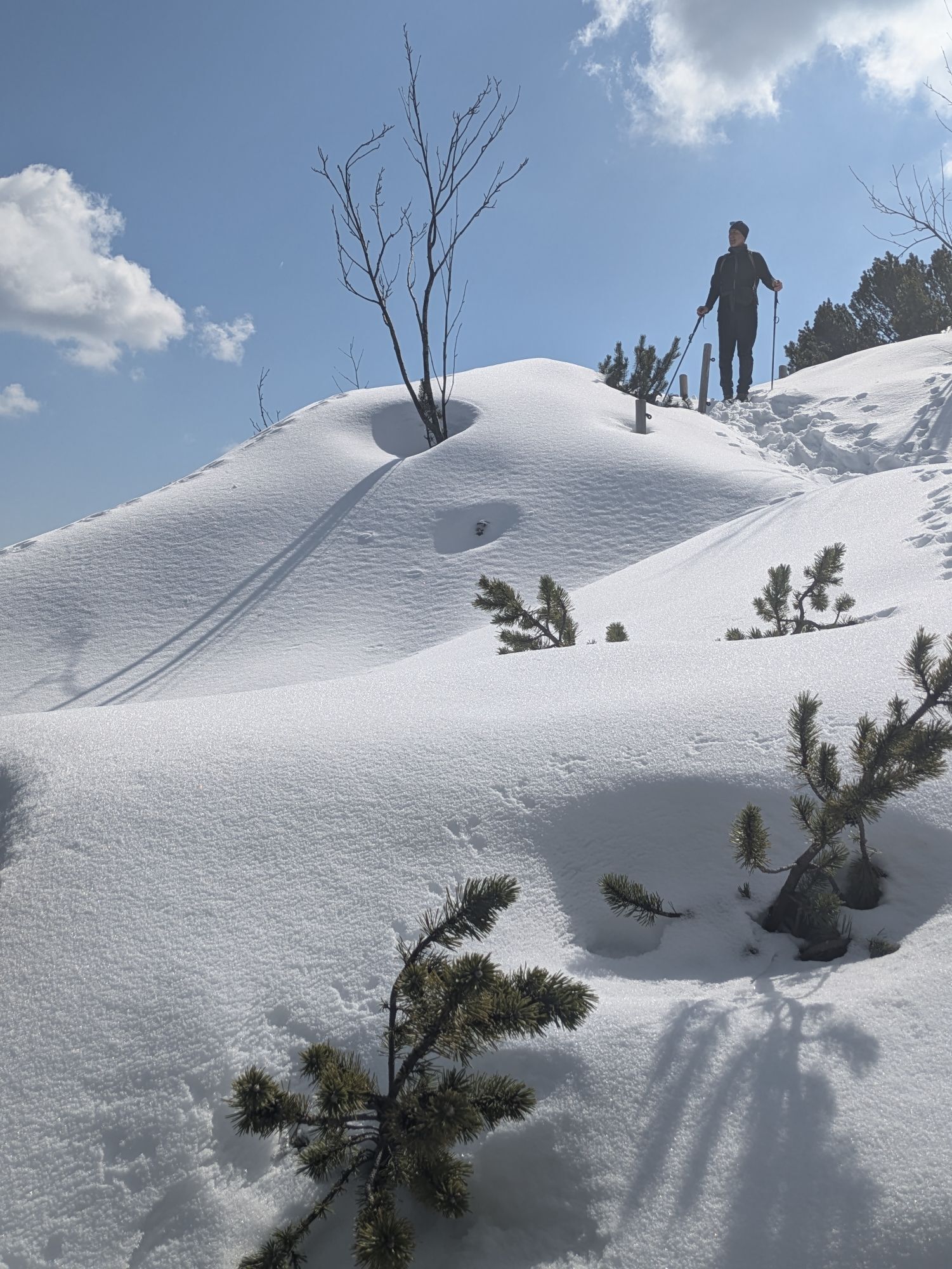
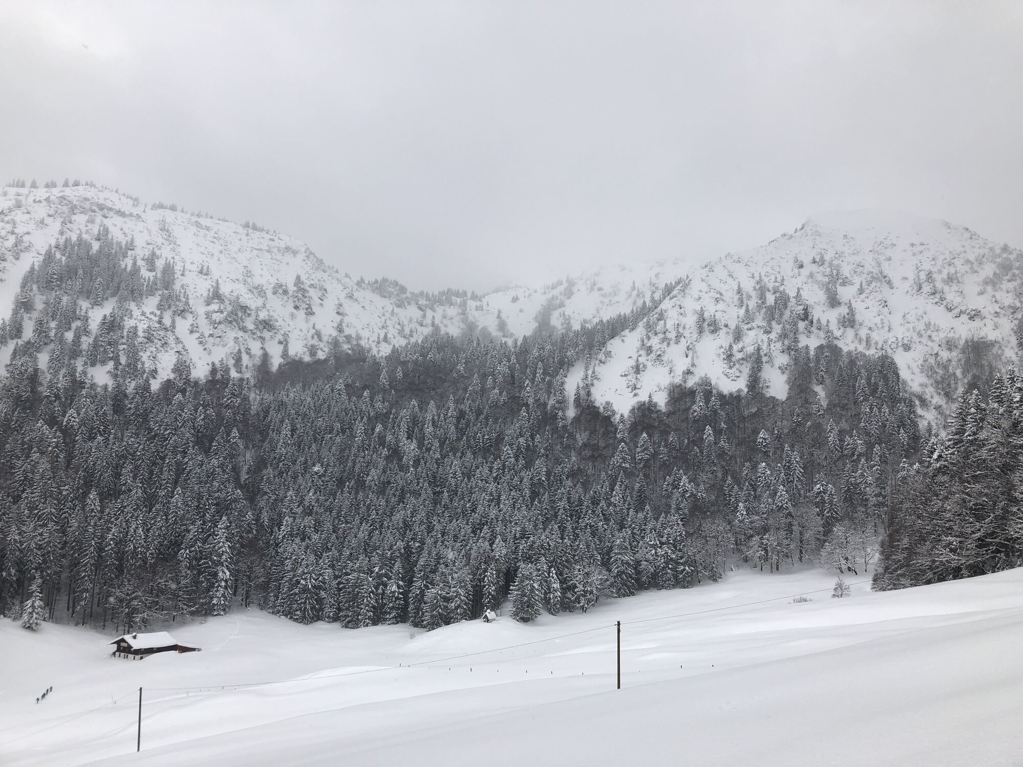
In winter, the Hirschberg can only be accessed via the toboggan run and then via the "Kratzer" to the Hirschberghaus.
Please be sure to check the snow and avalanche conditions.
All information without guarantee. Hiking and riding the described routes is at your own risk.
Motorway A8 to Holzkirchen, via B318 and B307 to Kreuth
Take the MVV to Kreuth, bus stop Riedlerbrücke.
Paid parking lot in Kreuth at the spa park.
After the route, relax in one of Kreuth’s cozy inns.
Why not visit the Kreuth warm outdoor pool after a hot summer day?

Kamery internetowe z trasy
Uzyskaj wgląd
Zawsze na żywo z ponad 9 500 kamer internetowych. bergfex Jako użytkownik Pro, możesz teraz zobaczyć odpowiednie kamery internetowe dla wielu wycieczek w aplikacji wycieczki od. Pozwala to na bezpośredni podgląd aktualnych warunków.


Popularne wycieczki w okolicy
-
4,7
Alpbach valley and Neureuth
średniWędrówka 12,9 km -
4,6
Summit route to the Wallberg
średniWędrówka 12,2 km -
4,8
Leonhardstein
średniWędrówka 8,17 km -
4,4
Achenkirch - Zöhreralm - Adlerhorst - Achenkirch
światłoWędrówka 7,70 km -
4,7
Königsalm
średniWędrówka 10,0 km -
4,3
Tegernsee Höhenweg - North
światłoWędrówka 12,3 km -
4,8
Lengrieser Hütte
średniWędrówka 10,6 km -
4,6
Roß- and Buchstein, Tegernsee Hut
ciężkiWędrówka 14,4 km -
4,6
Brecherspitze
średniWycieczki górskie 14,5 km -
4,6
Brecherspitz-Runde auf dem Normalweg Schliersee, Bayern
średniWędrówka 11,3 km
Wędrówki i tropienie


Nie przegap ofert i inspiracji na następne wakacje
Twój adres e-mail została dodana do listy mailingowej.





