







Circular route to the Kapf summit

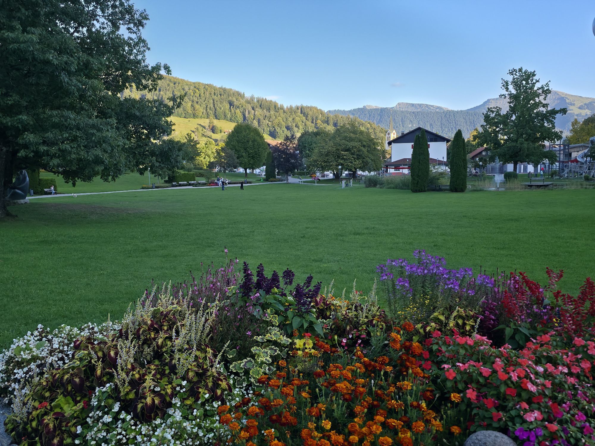
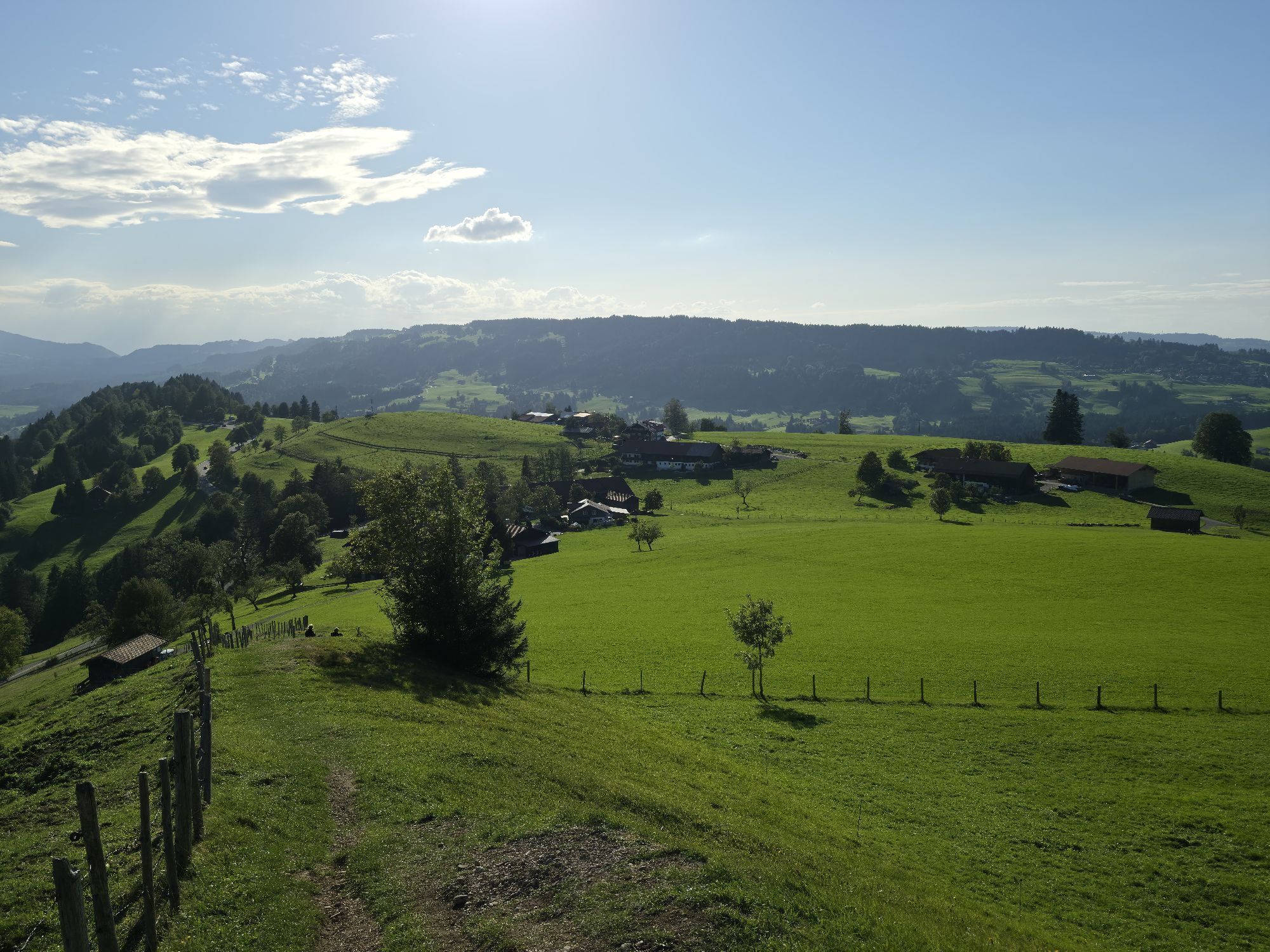
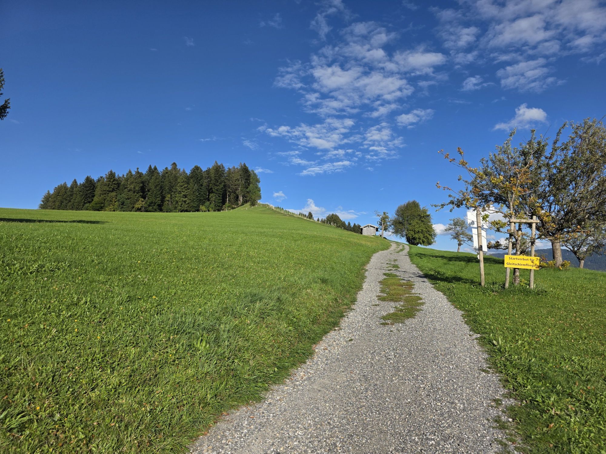
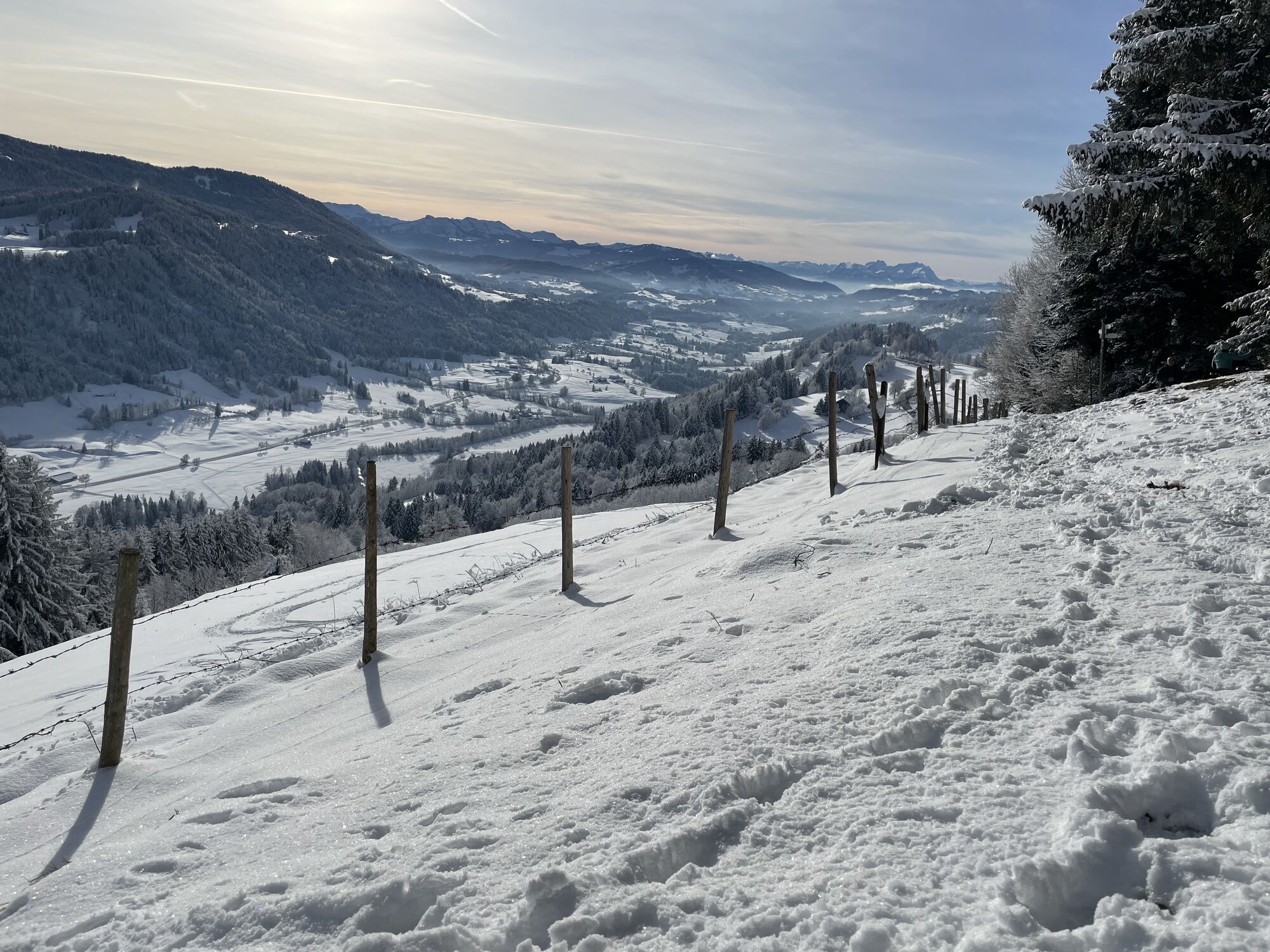
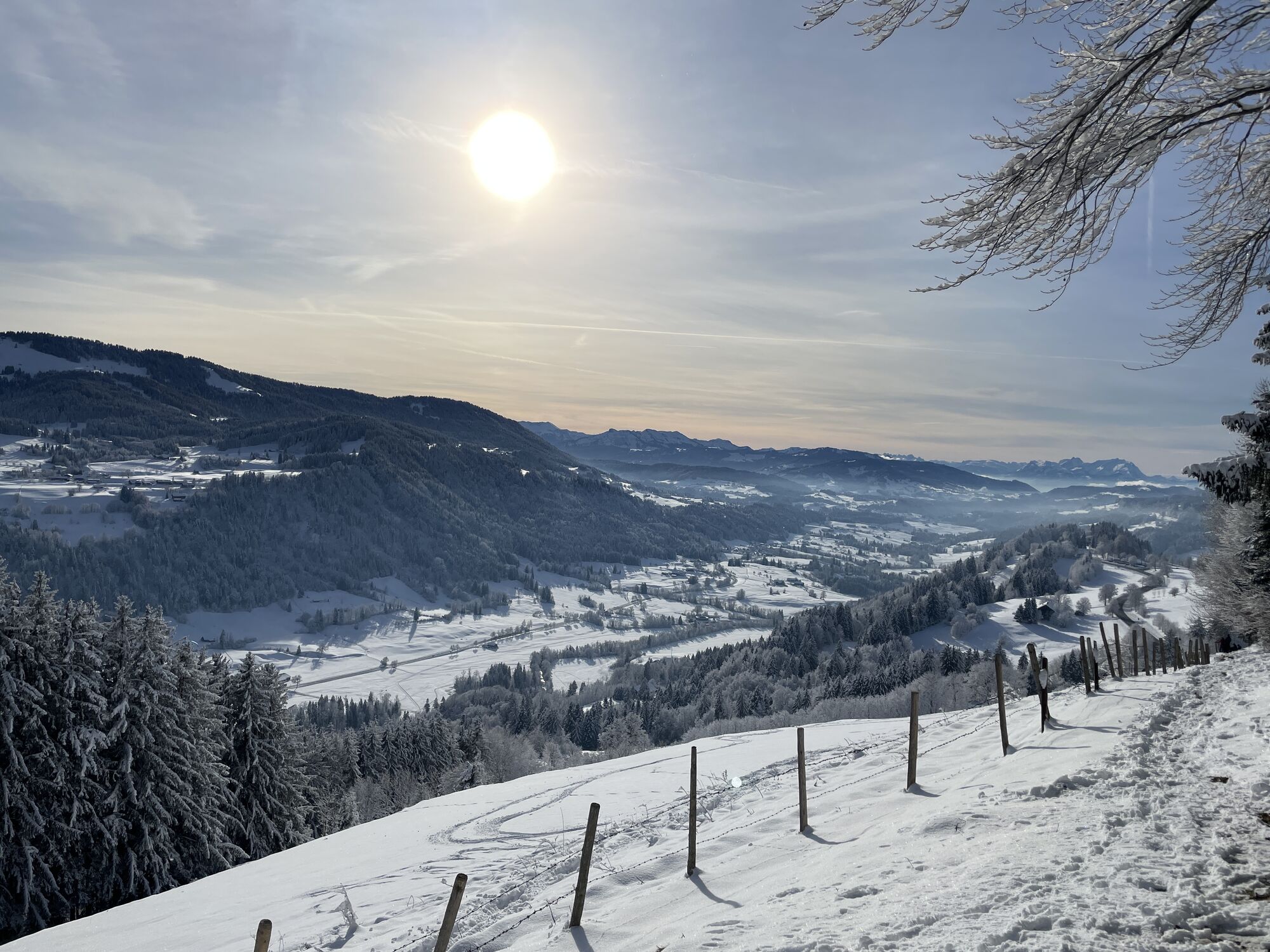
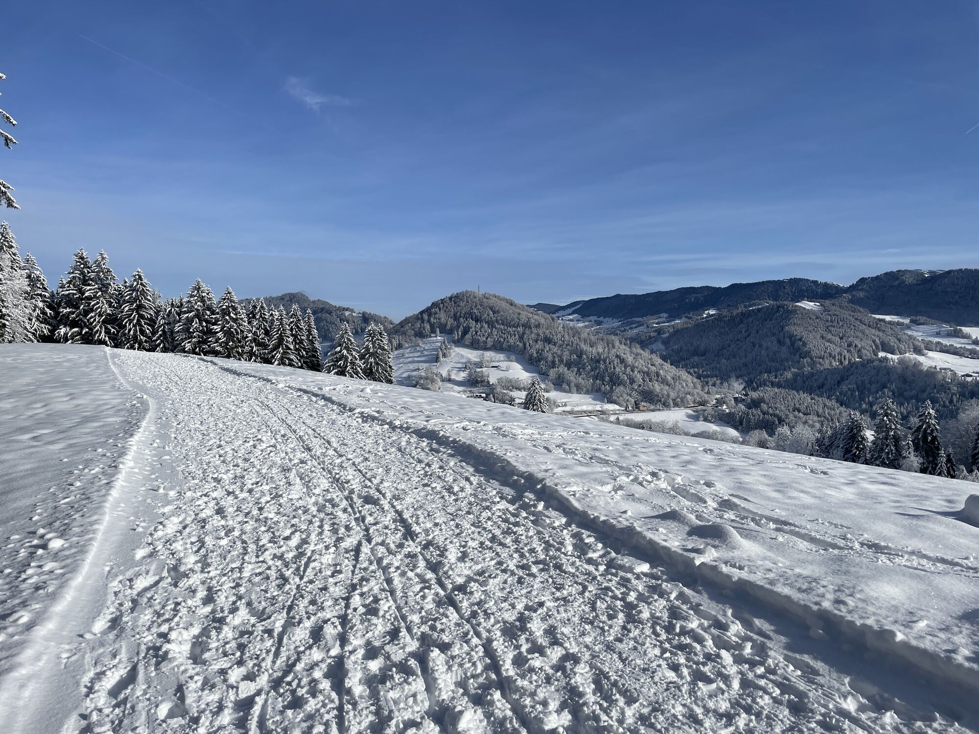
Behind the Kurhaus up to just before the water treading basin, beforehand cross right over the narrow bridge and up the forest path. Continue uphill on the paved road, past two farms. At the second farm...
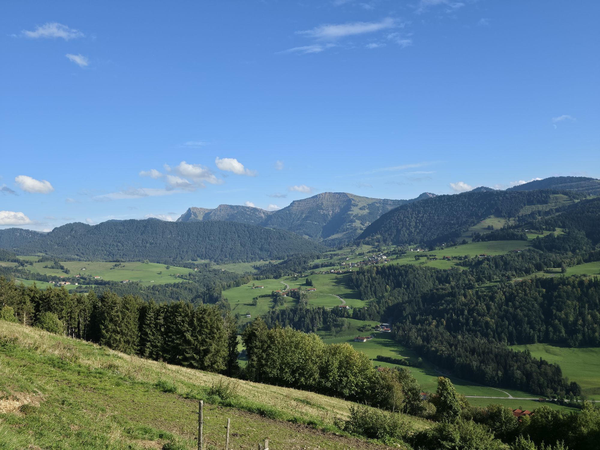
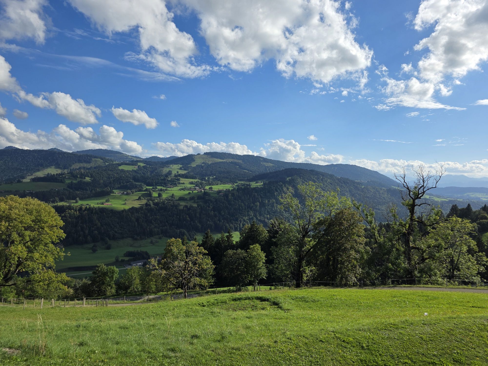
Behind the Kurhaus up to just before the water treading basin, beforehand cross right over the narrow bridge and up the forest path. Continue uphill on the paved road, past two farms. At the second farm go straight uphill, taking the path that shortly leads into the forest. At the next fork go straight and slightly downhill toward Saneberg, before that follow the sign to the Berg district left. A stop at Café Paradies is worthwhile for the magnificent view of the three countries. Continue on a nice meadow path to the Kapf summit. Benches along the way invite you to rest.
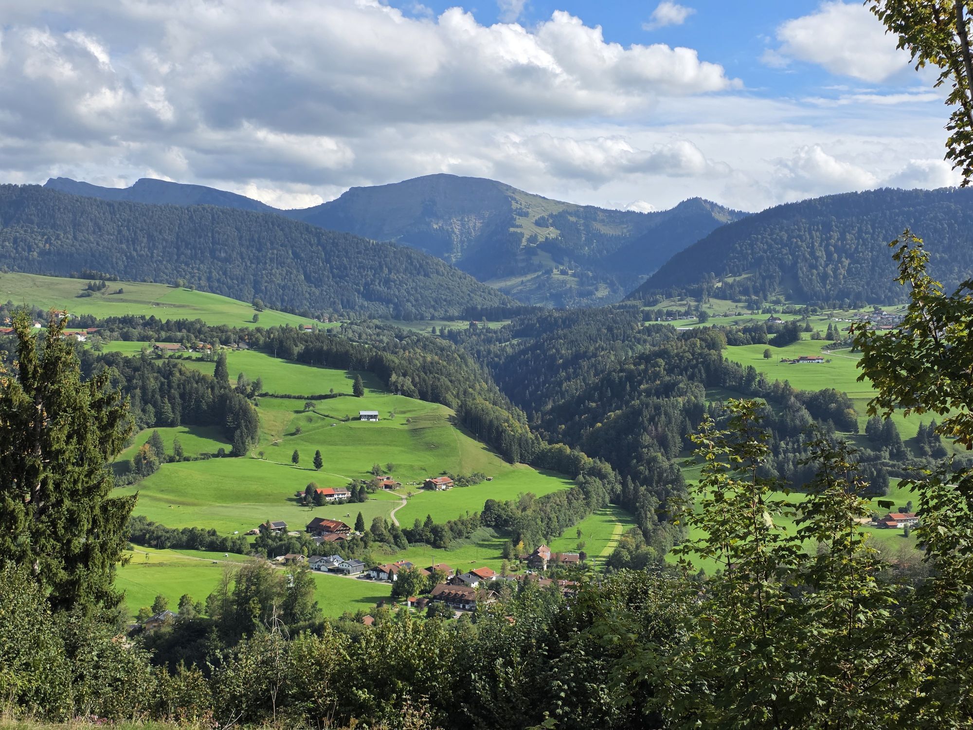
Just below the summit, turn right into the forest. We continue to keep right and come over a root path to the so-called Windeck. There is another free view over to the Hochgrat. We follow the initially narrow path half-right along the forest edge and shortly enter the Stießberg district. Continue on the road, turn left and pass the Allgäu Sonne, then at the next opportunity turn left again. Continue over the upper panoramic trail with a nice view of Oberstaufen back to the Kurhaus.

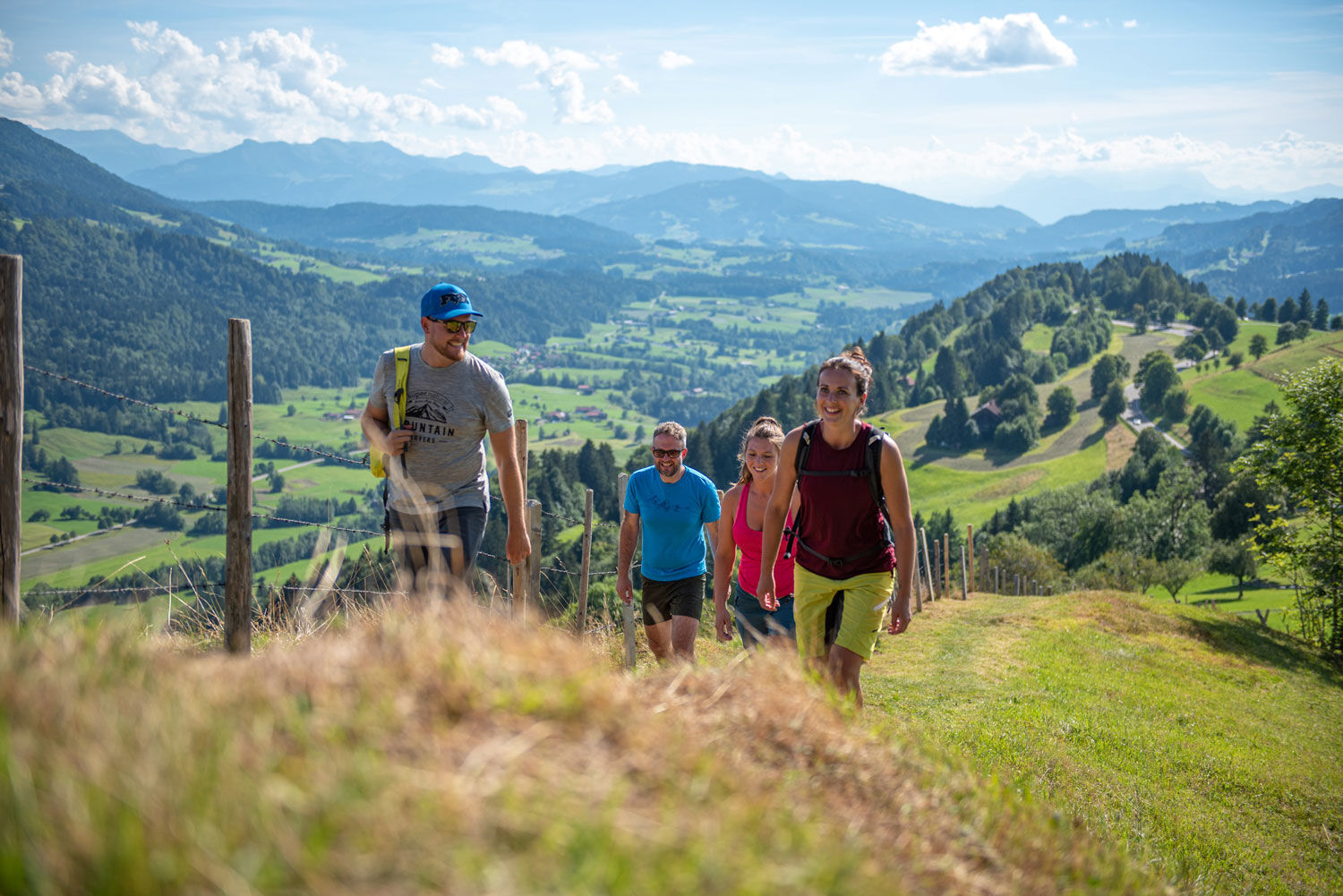
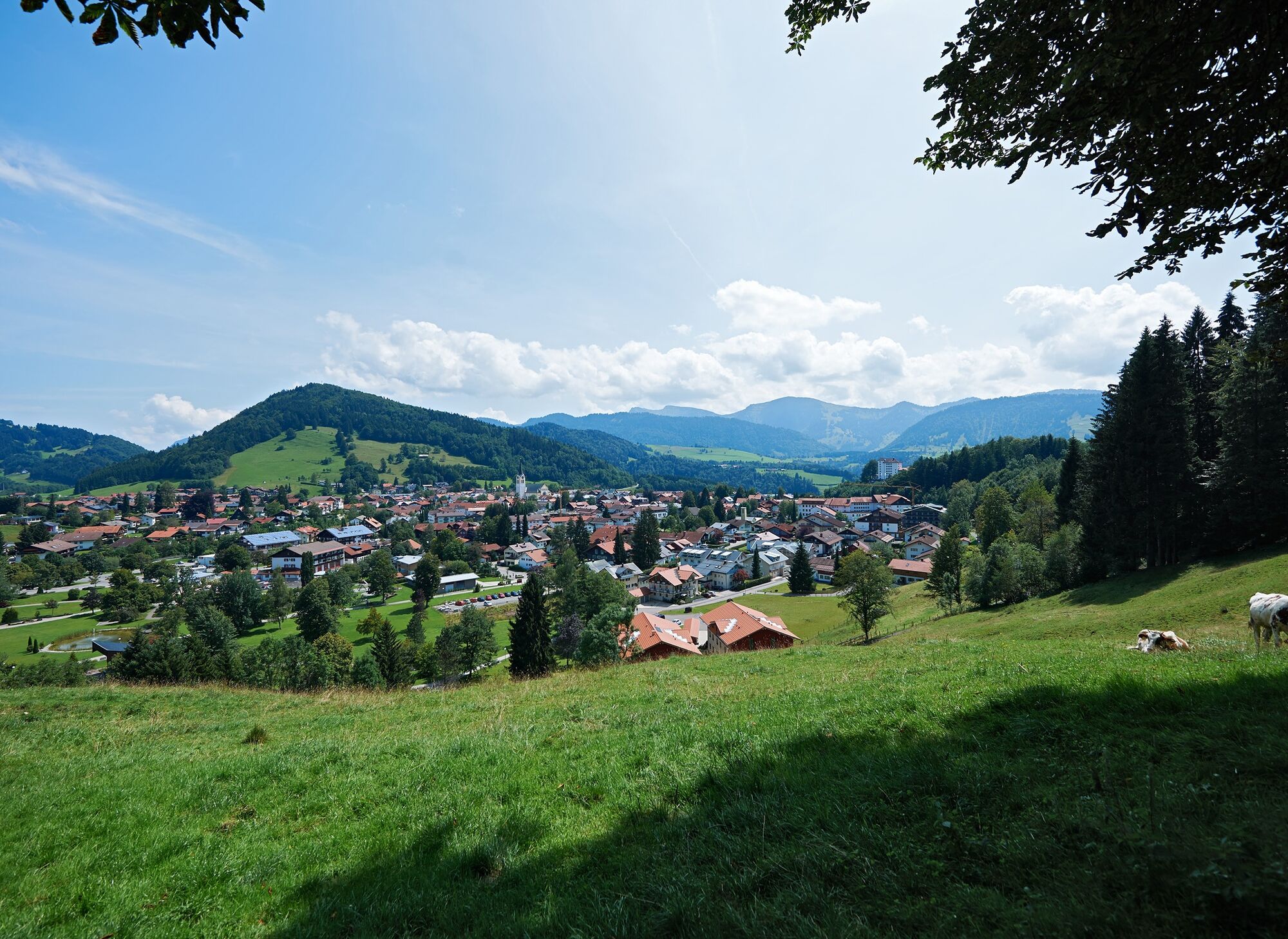
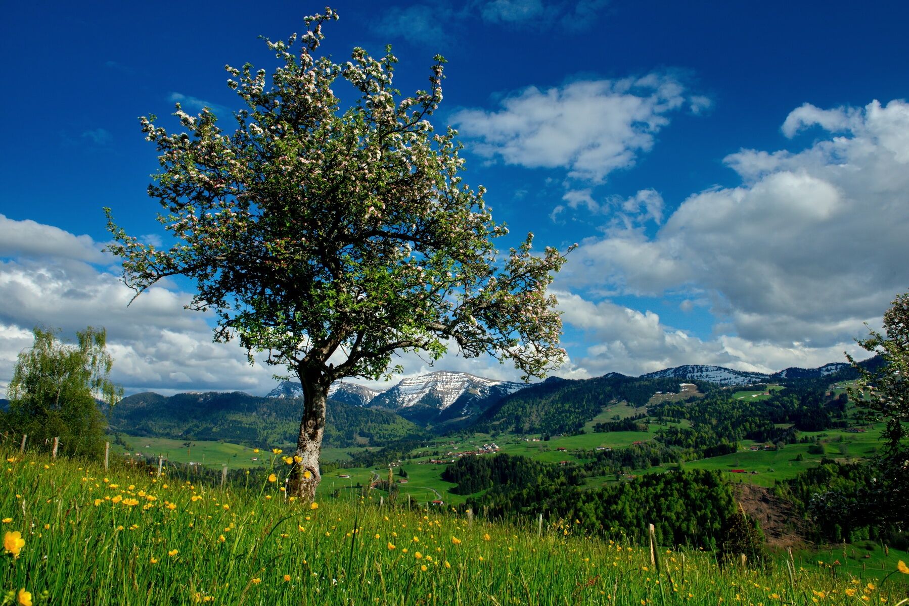

Kurhaus - bridge water treading basin - past two farms - Berg district - Kapf summit - Stießberg - upper panoramic trail - Kurhaus
Traveling by bus and train in and around Oberstaufen?
Information, bus timetables, and an overview map at oberstaufen.de/bus-parken
Paid parking spaces at the Kurhaus in Oberstaufen

Kamery internetowe z trasy

Popularne wycieczki w okolicy
-
4,6
Steibis - Buchenegger Waterfalls
średniWędrówka 6,47 km -
4,5
Hittisau | Wasserwanderweg
światłoTrasa tematyczna 7 km -
4,7
Rindalphorn und Hochgrat
średniWędrówka 15,6 km -
5,0
Nagelfluh ridge route Hochgrat - Mittag
ciężkiWędrówka 14,0 km -
4,9
Immenstädter Horn
światłoWędrówka 9,35 km -
4,5
Hittisau | Rundwanderung von Hittisau zum Hochhäderich
średniWędrówka 9,22 km -
4,5
Immenstädter Horn - Gschwender Horn
światłoWędrówka 10 km -
4,3
Circular route Hündle to the Buchenegger Waterfalls
średniWędrówka 9,69 km -
4,8
Grosser-Alpsee-Rundweg-11-km
światłoWędrówka 10,9 km -
3,7
Rundtour Mittag
światłoWędrówka 15,7 km

Wędrówki i tropienie


Nie przegap ofert i inspiracji na następne wakacje
Twój adres e-mail została dodana do listy mailingowej.





