







Around the Staufen
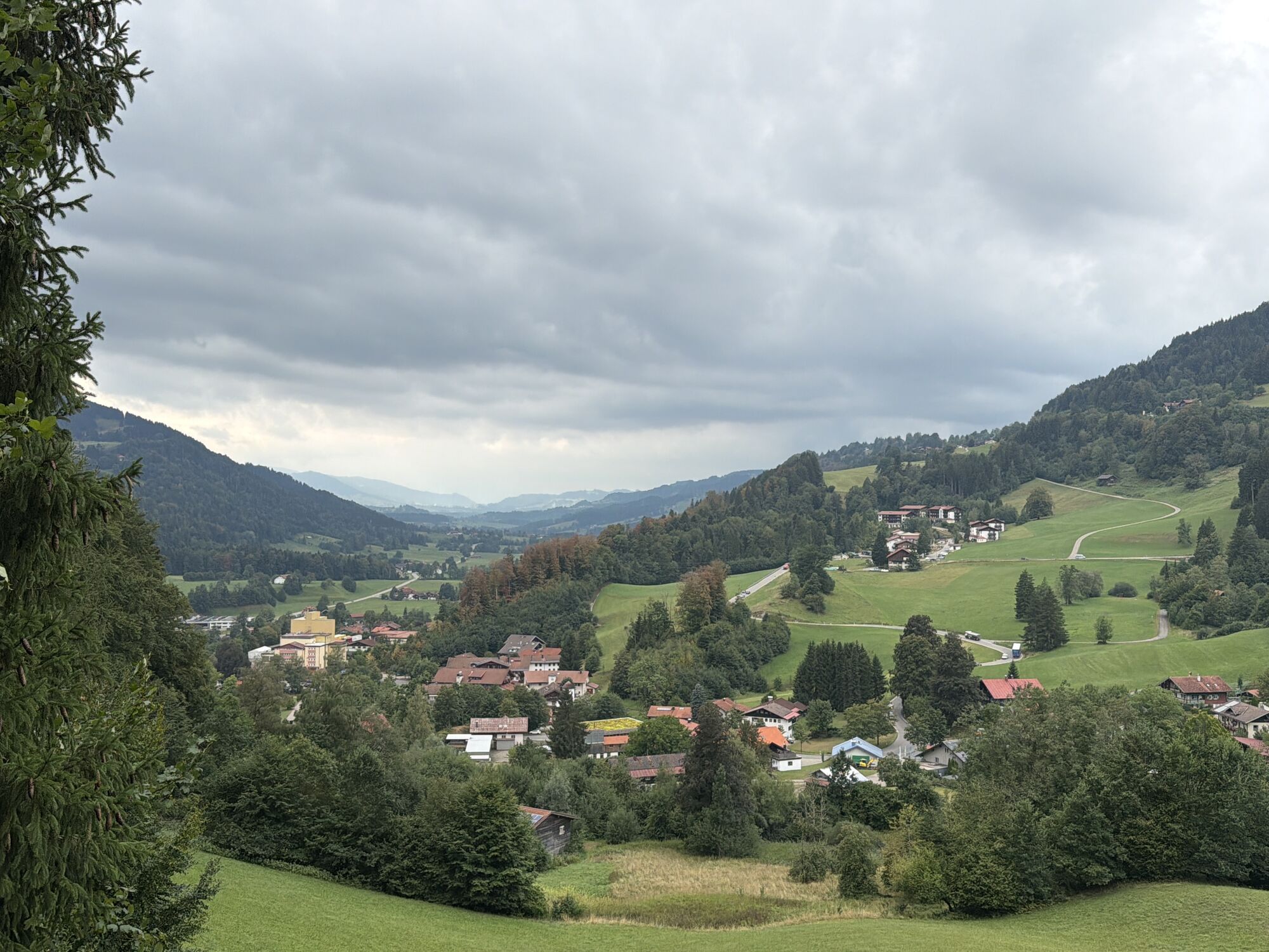
From the station, take Immenstädter Straße to the town exit. From there, continue on the hiking trail to the Wengener Stadel with horse stable. Turn right and follow the signposted path "Around the Staufen."...
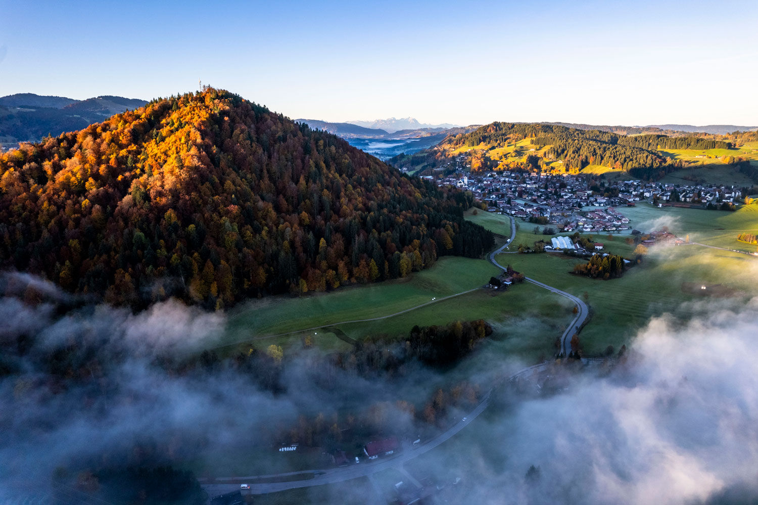
From the station, take Immenstädter Straße to the town exit. From there, continue on the hiking trail to the Wengener Stadel with horse stable. Turn right and follow the signposted path "Around the Staufen." After passing through the first forest section with a short climb, you reach the backside of the Staufen with an open view to the Hündle and into the Konstanz valley. After another short but fairly steep climb, the trail continues undulating to the combined heat and power plant.
After crossing the railway, either return directly to the station or first keep left and immediately turn right into the Rainwald forest, keep right there and return to the starting point along the promenade via Lenzhalde.
Anyone wanting more can follow the signs at the railway tunnel to the Staufen summit (1,032 m).


Oberstaufen station - Immenstädter Straße - hiking trail around the Staufen - Lenzhalde - Oberstaufen station
Tak
Tak
Follow the signs for Oberstaufen on the B308.
Traveling by bus and train in and around Oberstaufen?
Information, bus timetables, and an overview map at oberstaufen.de/bus-parken
Paid parking lot at the train station in Oberstaufen
Also suitable for all-terrain strollers.
 Uzyskaj wgląd
Zawsze na żywo z ponad 9 500 kamer internetowych. bergfex Jako użytkownik Pro, możesz teraz zobaczyć odpowiednie kamery internetowe dla wielu wycieczek w aplikacji wycieczki od. Pozwala to na bezpośredni podgląd aktualnych warunków.
Uzyskaj wgląd
Zawsze na żywo z ponad 9 500 kamer internetowych. bergfex Jako użytkownik Pro, możesz teraz zobaczyć odpowiednie kamery internetowe dla wielu wycieczek w aplikacji wycieczki od. Pozwala to na bezpośredni podgląd aktualnych warunków.

Popularne wycieczki w okolicy
-
4,6
Steibis - Buchenegger Waterfalls
średniWędrówka 6,47 km -
4,6
Hittisau | Wasserwanderweg
światłoTrasa tematyczna 7 km -
4,7
Rindalphorn und Hochgrat
średniWędrówka 15,6 km -
5,0
Nagelfluh ridge route Hochgrat - Mittag
ciężkiWędrówka 14,0 km -
4,9
Immenstädter Horn
światłoWędrówka 9,35 km -
4,5
Immenstädter Horn - Gschwender Horn
światłoWędrówka 10 km -
4,5
Circular route Hündle to the Buchenegger Waterfalls
średniWędrówka 9,69 km -
5,0
Siedelalpe Runde von See - Immenstadt
światłoWędrówka 10,3 km -
3,5
Rundtour Mittag
światłoWędrówka 15,7 km -
4,4
Circular route Steibis to Dreiländerblick
średniWędrówka 7,95 km

Wędrówki i tropienie


Nie przegap ofert i inspiracji na następne wakacje
Twój adres e-mail została dodana do listy mailingowej.





