


Glücksheimat round - exploring Kneipp in Ottobeuren
Poziom trudności: T1
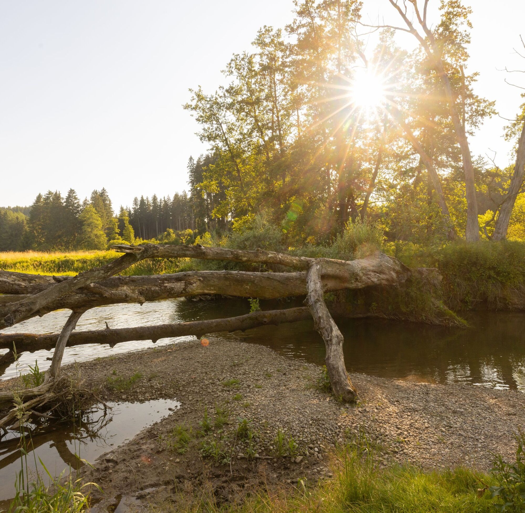
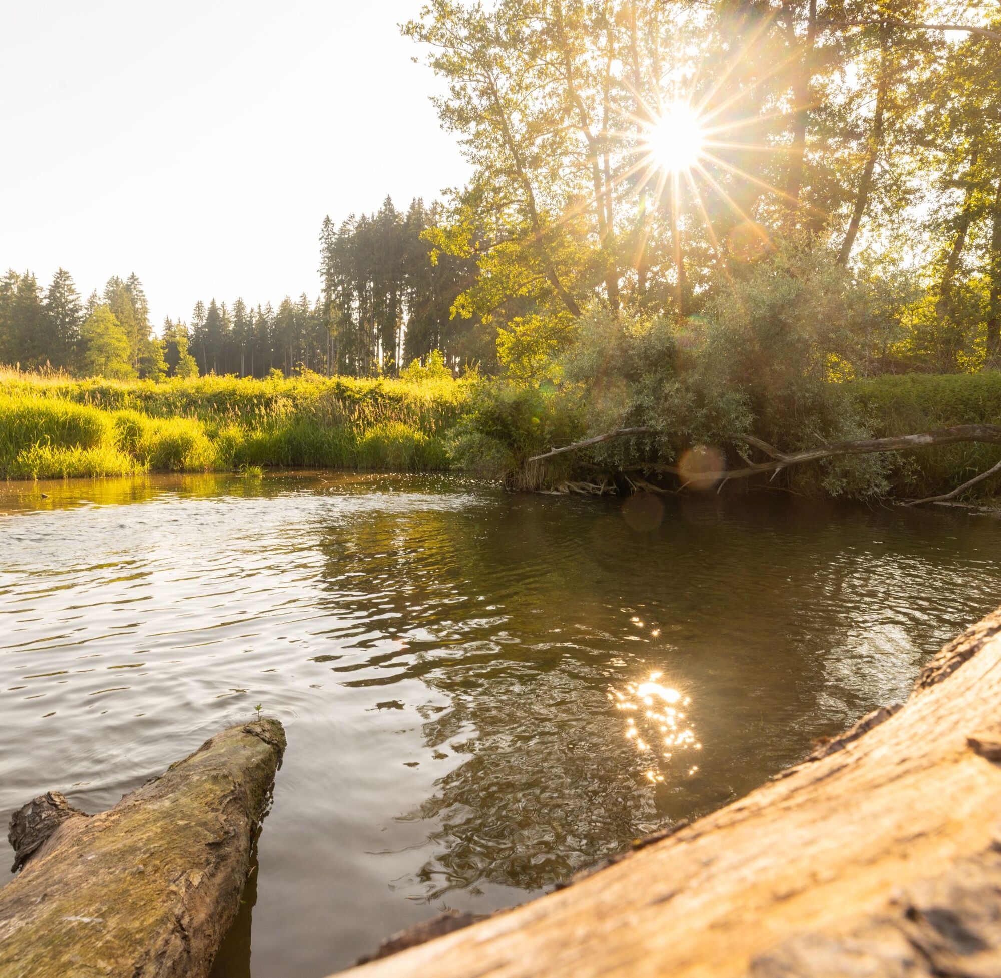
Beautiful Glücks route through the Günztal in the north of Ottobeuren. The Günz forms the longest stream system in Bavaria and is home to numerous rare animal and plant species. The beaver has also become...
Beautiful Glücks route through the Günztal in the north of Ottobeuren. The Günz forms the longest stream system in Bavaria and is home to numerous rare animal and plant species. The beaver has also become native here again.
As Sebastian Kneipp says: "The little treasures in the midst of nature – I give them my full attention: how the leaves rustle in the wind, the meadows scent the air, and the stream gently babbles. For me, that means being at home. And that I am here. We can be at home in many places. But only where we feel safe can we unfold ourselves. Nature is such a place. It gives us this sense of home that inspires. Therefore, collect your impressions like treasures, just as the moor preserves the essence of nature and thereby gives many creatures a home.
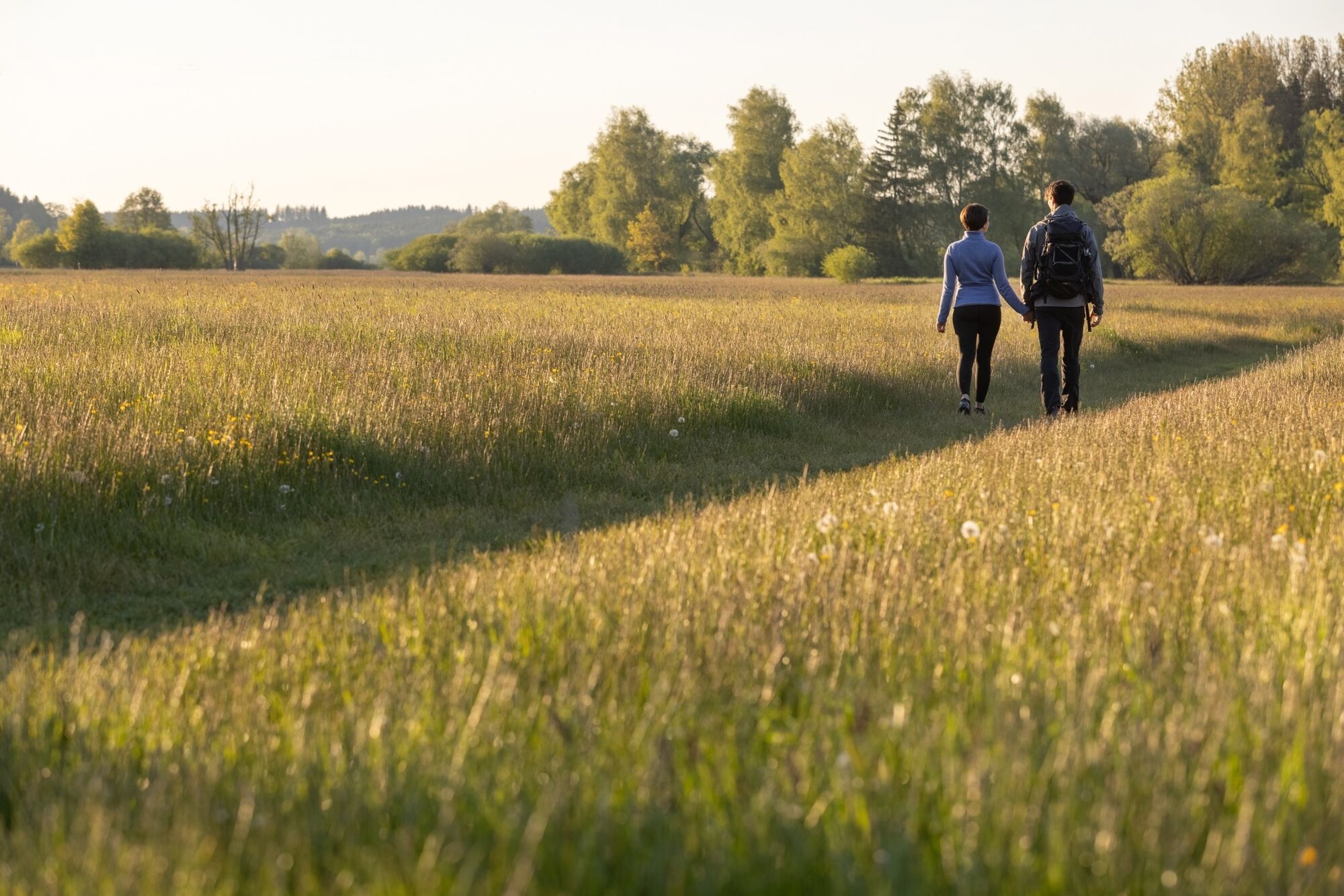
At the underpass of the northern relief road, follow the hiking trail into the idyllic, green Günztal.
This leads over the Günz bridge and straight ahead on the meadow path. At a resting bench, the path forks. Here continue straight ahead and follow the field path to the grounds of the Erich Schickling Foundation.
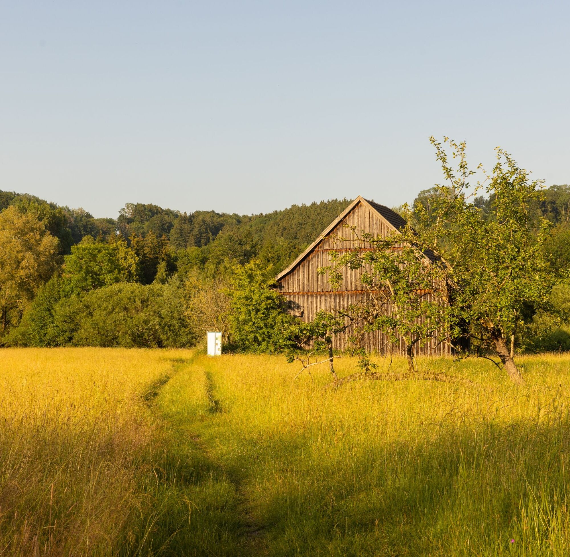
Then the path gently ascends along the forest. In Eggisried, turn left in front of a large farmstead, after 150 m turn right onto the field path, and after another 50 m immediately take the path to the beech woodland on the left. At the fork, take the right path to continue to the Klosterwald Abbey. The path leads around the former monastery up the hill.
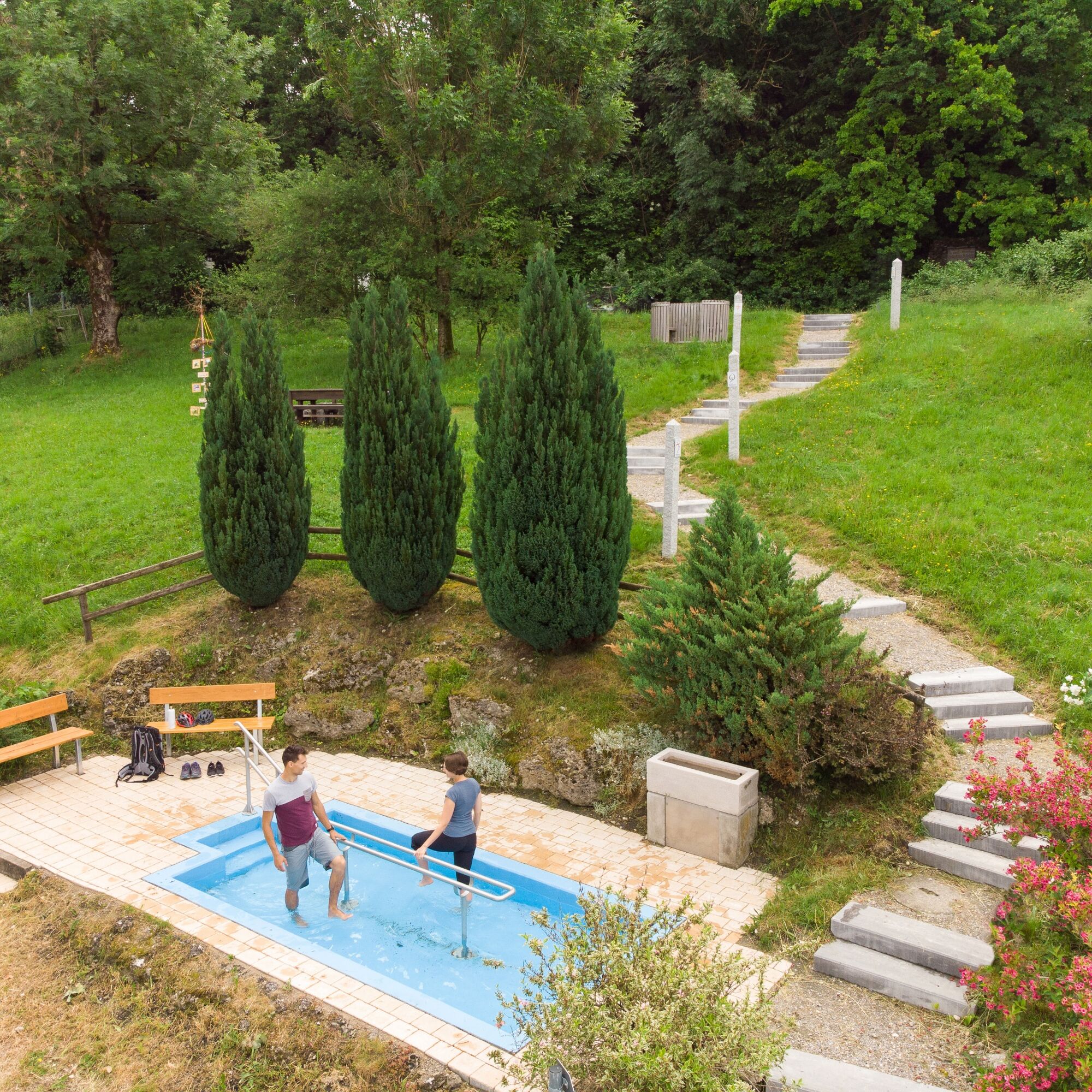
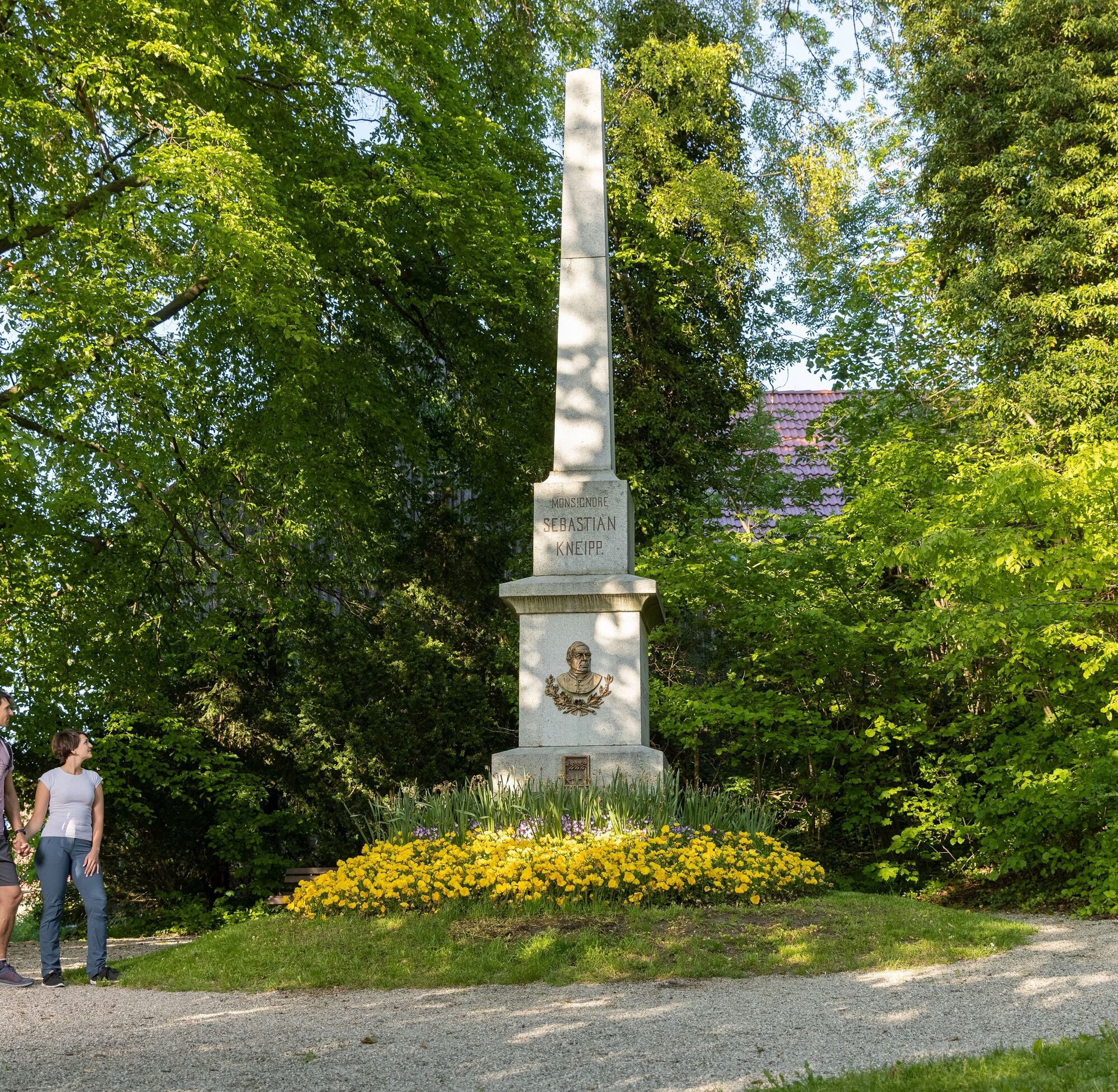
After the forest section, you can already see the first houses of Stephansried, the birthplace of Pastor Sebastian Kneipp. In Stephansried, near the church, a path leads up to the Kneipp facility. From there, wooden steps continue up to the Kneipp Monument. Retrace the path and hike up the village street on the right. Leave the village heading towards Attenhausen.
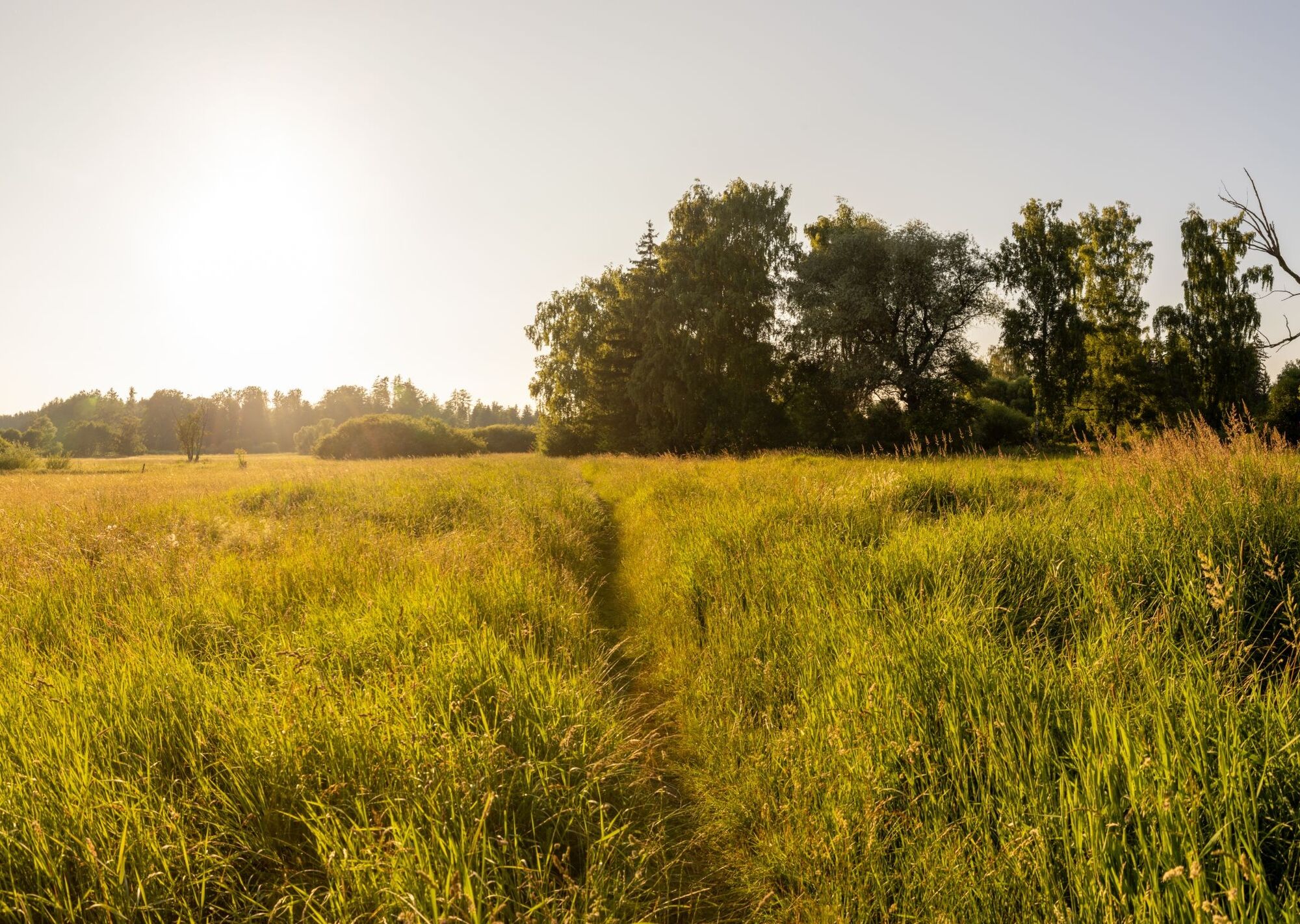
After 400 m, three paths branch off to the left. Take the first at a sharp angle and follow it downhill over the road to a barn. At the barn, turn right towards Hundsmoor. The path leads back to the starting point over 6.5 km. It runs along diverse meadows mostly blooming from April to June, through a short wooded area, and along the gentle stream landscape of the Western Günz. On the right lies the Hundsmoor with info stations about the flora and fauna of the nature reserve. Shortly before the bridge, keep left and start the return route. This runs almost parallel to the DB Günztal Cycle Path. At the outskirts of Hawangen, switch to the cycle path for 900 m. At the first farm on the left, return again via the field and meadow paths to the starting point.
Tak
Tak
Tak
The route is limitedly barrier-free.
Two motorways run through the Allgäu: the A7 from Ulm to Füssen and the A96 from Munich to Lindau.
From Memmingen via state road 2013 to Ottobeuren.
From Kaufbeuren via state road 2013 to Ottobeuren, ring road.
From Erkheim via state road 2011 to Ottobeuren, ring road.
www.ottobeuren.de
Arrival by train
You can conveniently travel to Allgäu by train from all over Germany and neighboring countries. From Munich, the Regional-Express towards Oberstdorf and Lindau offers a fast and comfortable connection. Within Allgäu, you can reach numerous sights with the Bavarian railways.
Info: www.bahnland-bayern.de
Arrival by plane
For arrival by plane, the Allgäu Airport in Memmingen, Munich Airport, and Friedrichshafen Lake Constance Airport are suitable. Continuing your journey by bus or train is possible from these airports.
Parking options are available in the adjacent industrial area or at the sports grounds near Sportwelt Ottobeuren.
www.ottobeuren.de
T1
A lovely place to rest is the Kneipp facility with benches in Stephansried, below the monument to the health pastor Sebastian Kneipp.
Popularne wycieczki w okolicy
-
4,5
On the Jakobus pilgrim route to the Schachenweiher
średniWędrówka 11,9 km -
4,0
Glücksplaneten route - exploring the solar system in Ottobeuren
światłoWędrówka 6,31 km -
4,0
Glücksheimat round - Exploring Kneipp - Ottobeuren
światłoWędrówka 11,8 km -
5,0
Around the Bühler Forest
średniWędrówka 5,65 km -
Schelmenheide circular route
światłoWędrówka 5,77 km -
5,0
Ottobeurer Bannwald-Runde
światłoWędrówka 4,85 km -
Günztal - Biotope circular route
światłoWędrówka 2,44 km -
4,5
Bad Grönenbach - Sack - Rothmoos
średniWędrówka 9,48 km -
4,7
Obergünzburg - Reverdysquelle - Ronsberg
średniWędrówka 12,2 km -
5,0
Through the Günztal to the Benninger Ried - northwest of Ottobeuren
średniJazda na rowerze 34,8 km
Wędrówki i tropienie


Nie przegap ofert i inspiracji na następne wakacje
Twój adres e-mail została dodana do listy mailingowej.