







Günztal - Biotope circular route
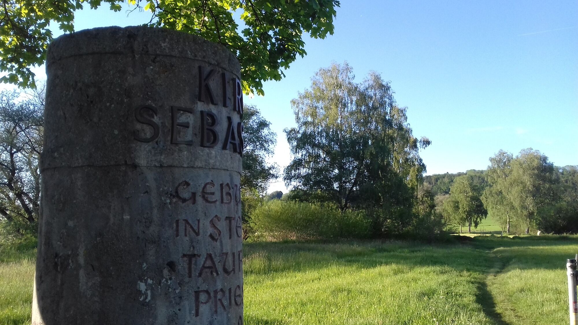
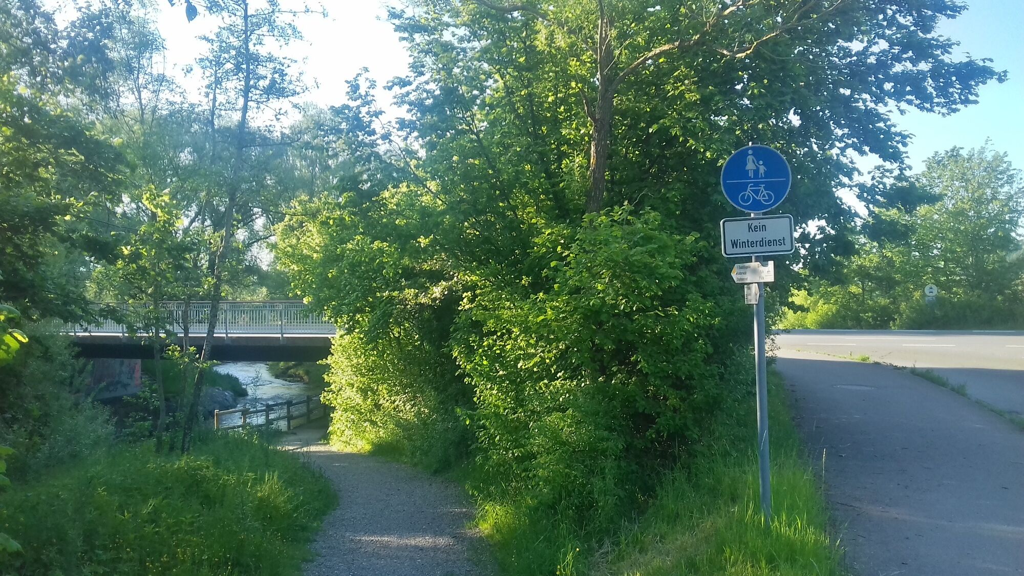
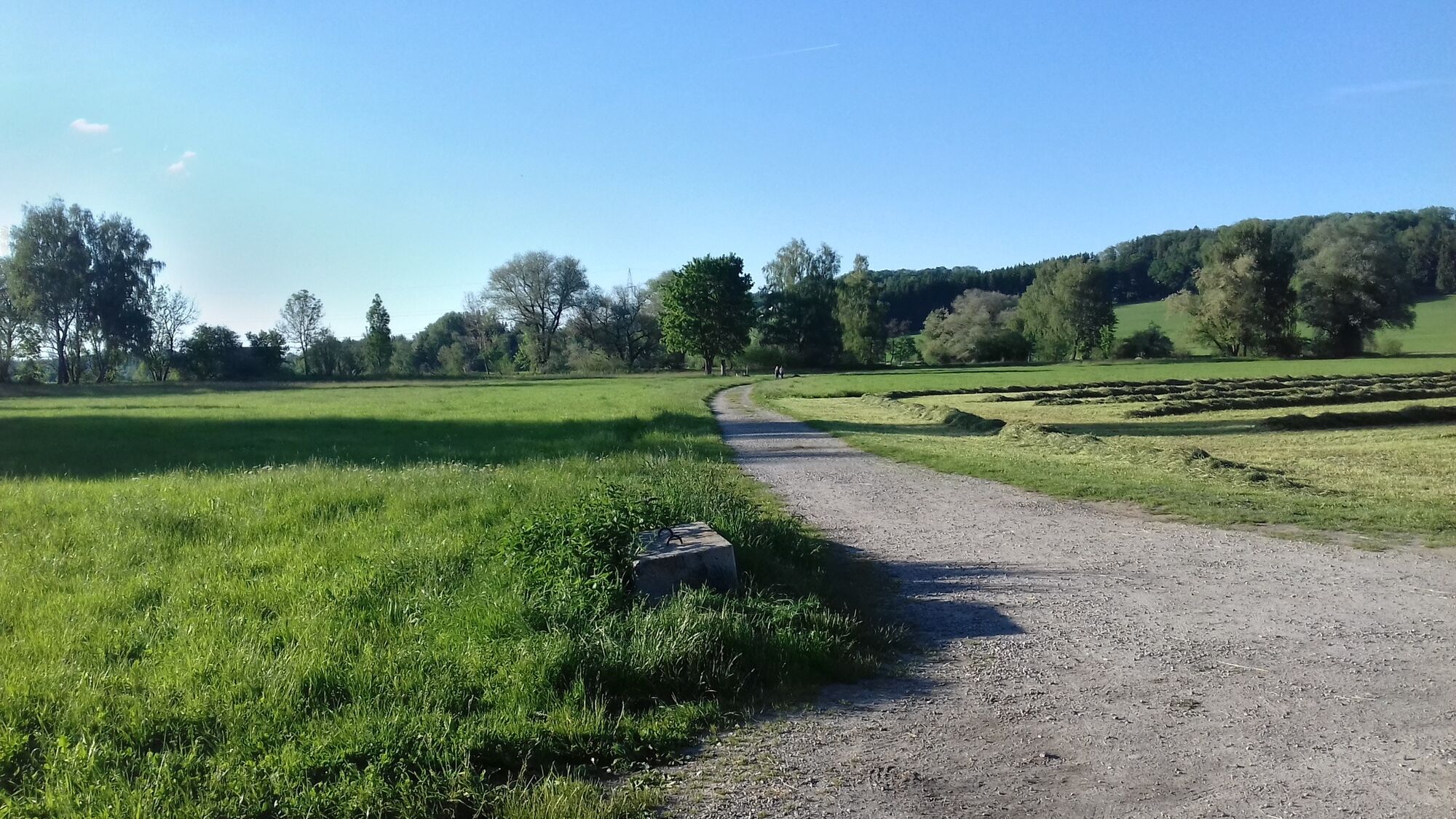
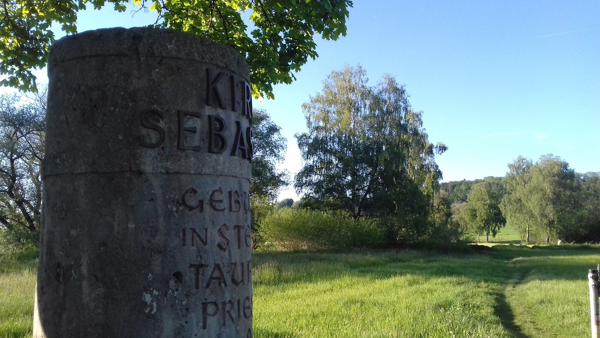
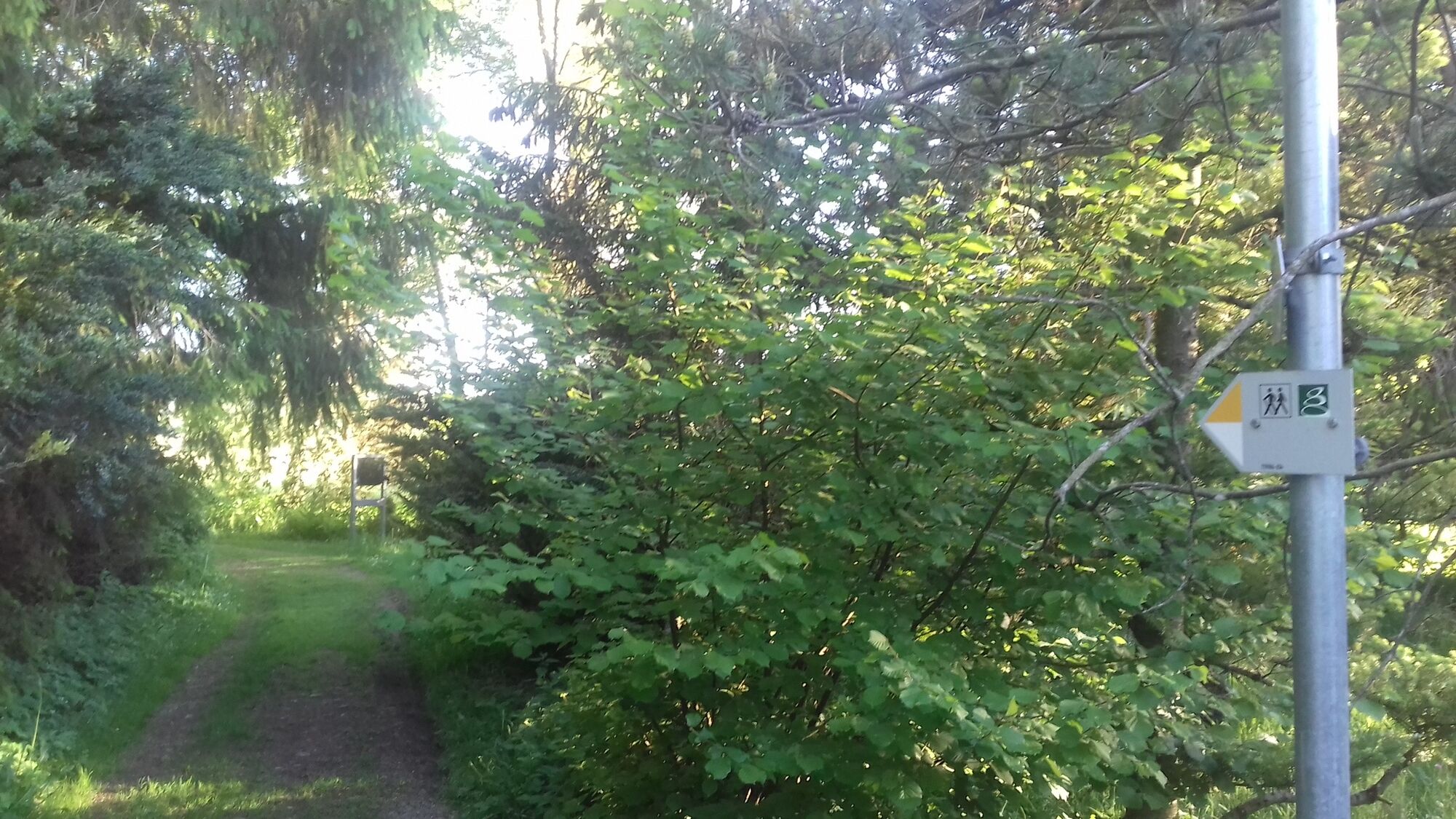
We start after the underpass on the dirt road into the meadow-rich Günztal. A stone pillar by a bench provides information about Pastor Sebastian Kneipp, who was born in the nearby hamlet of Stephansried....
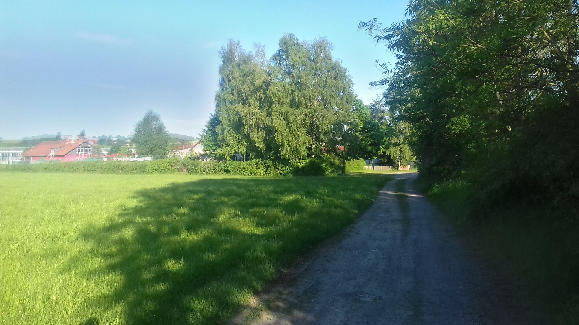
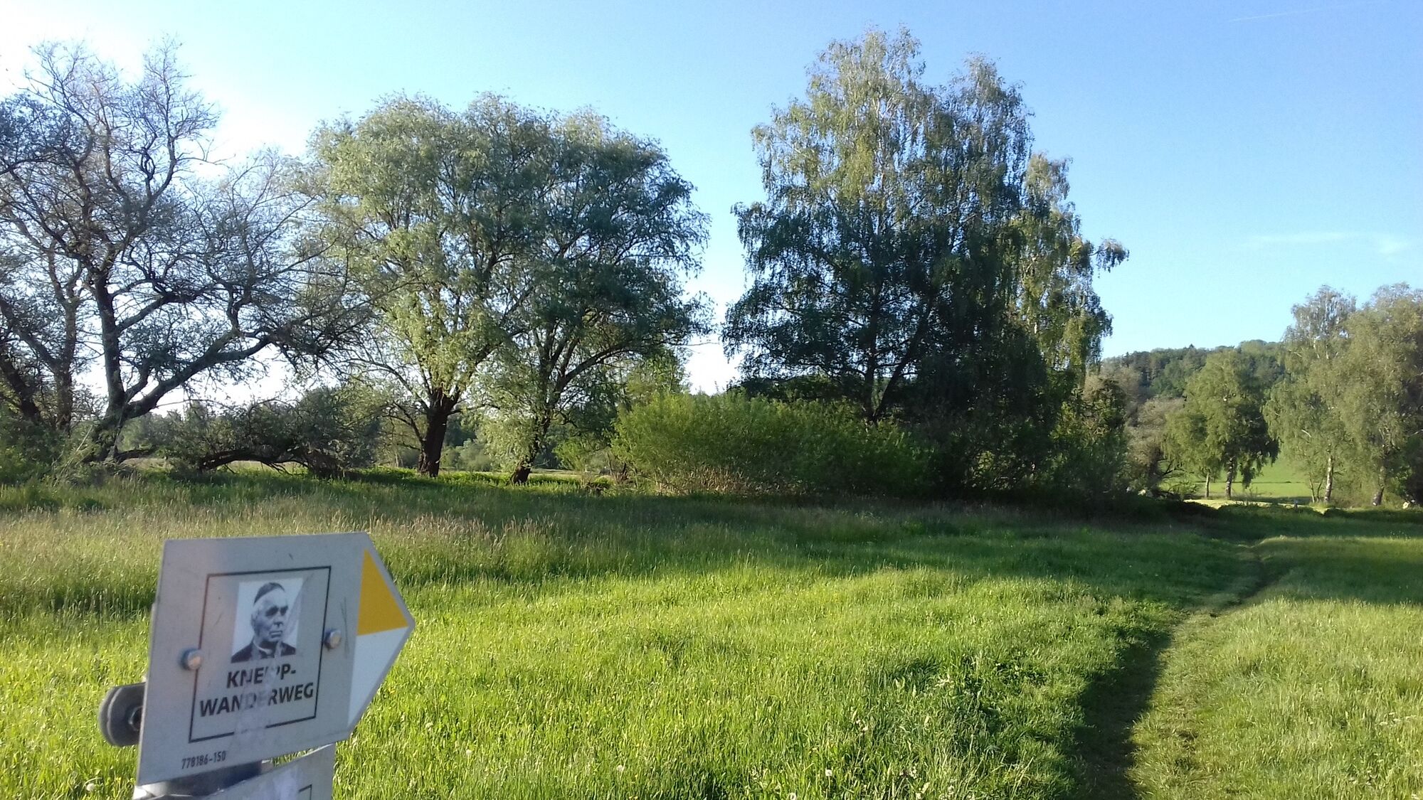
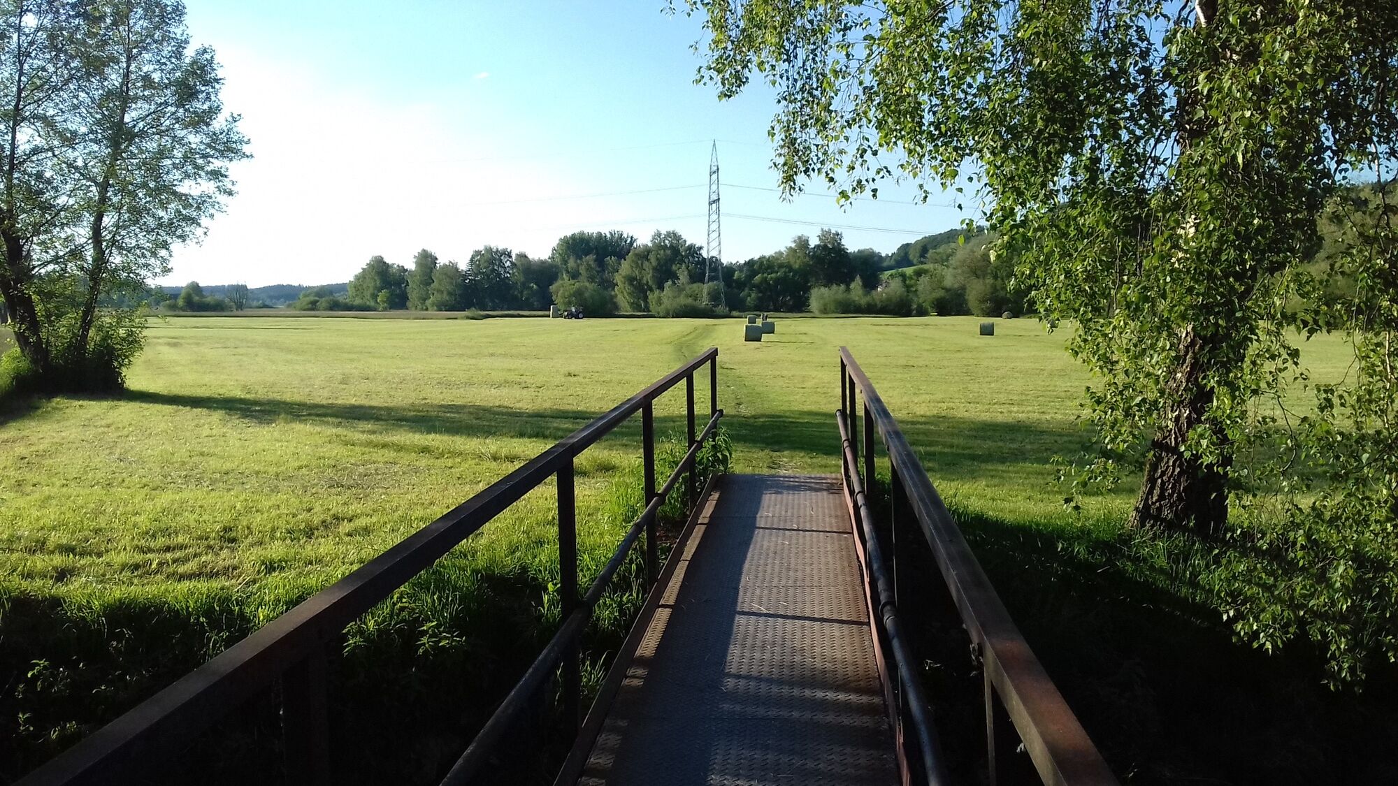
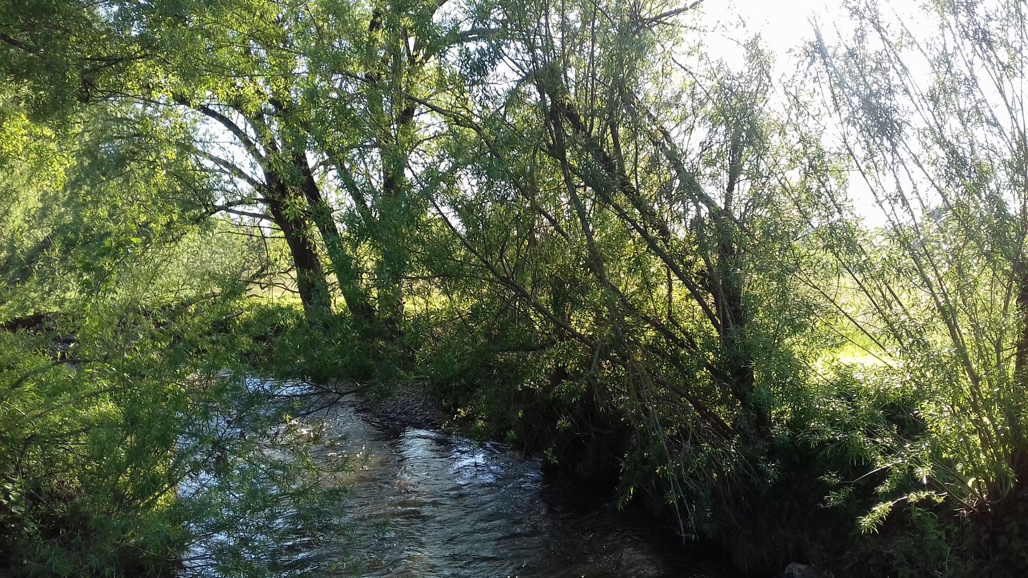
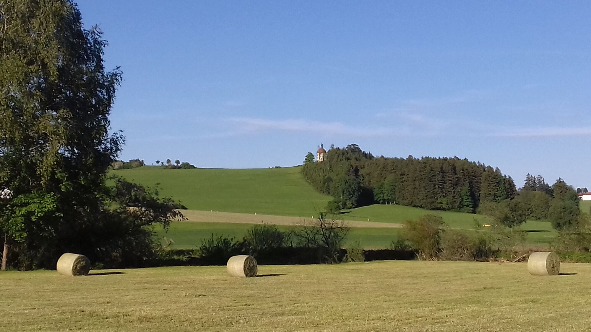
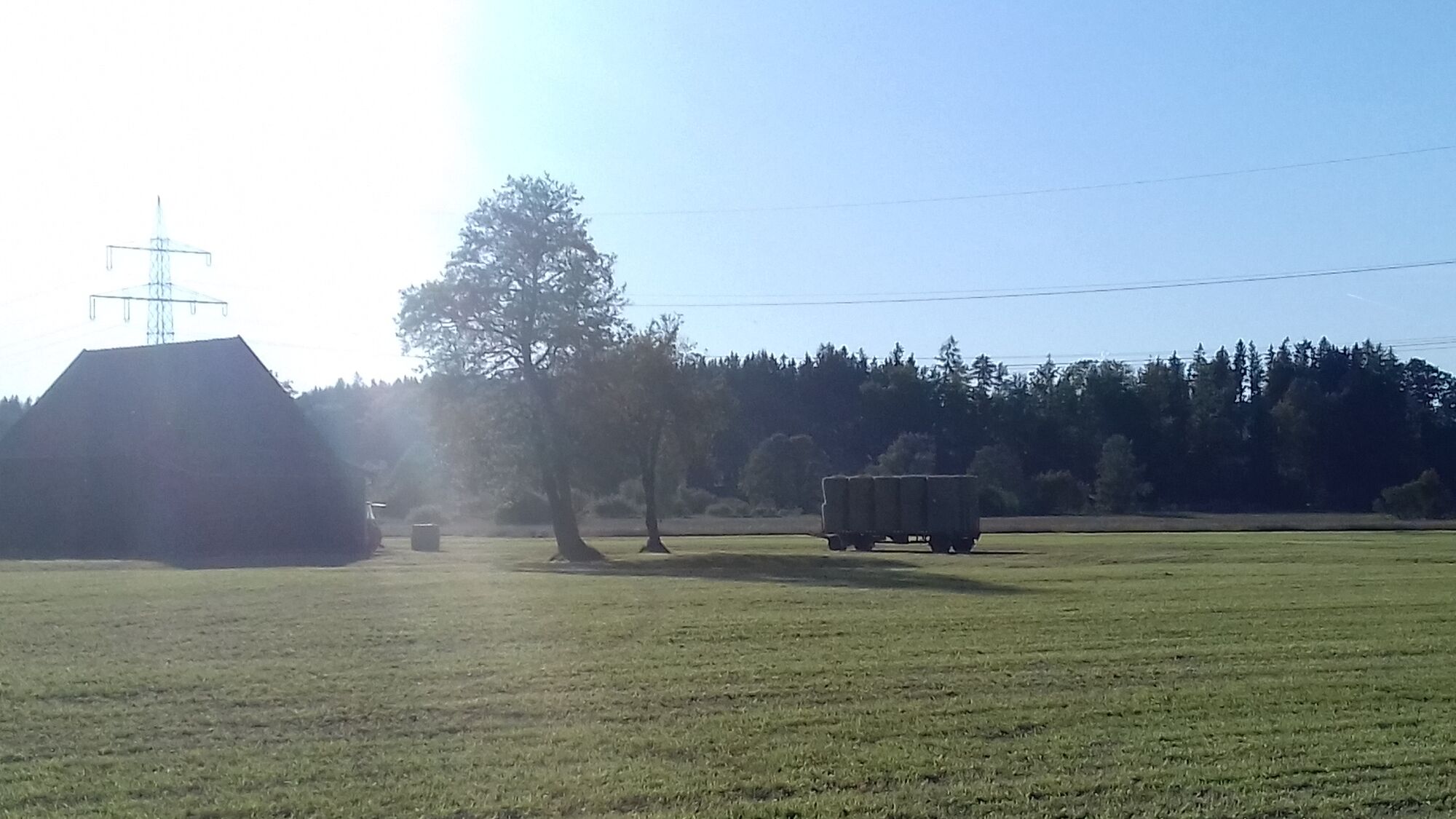
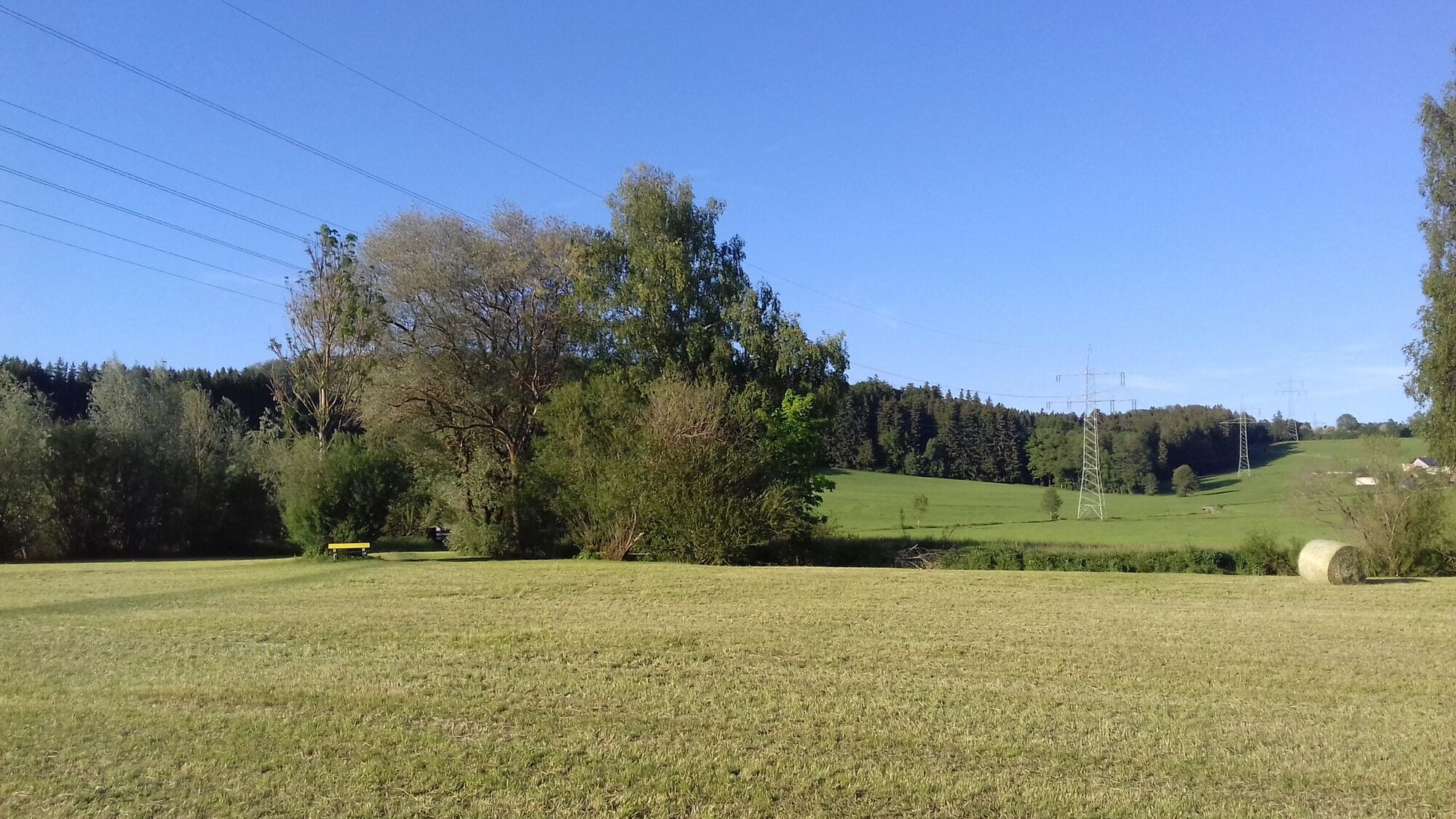
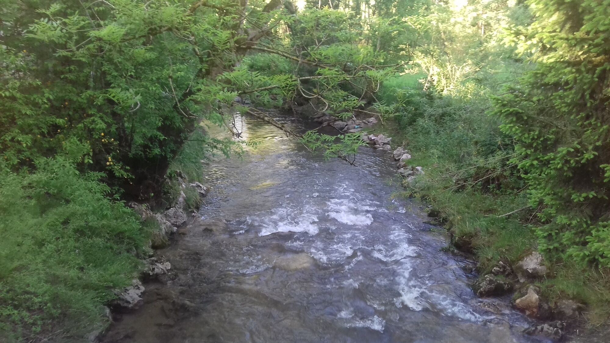
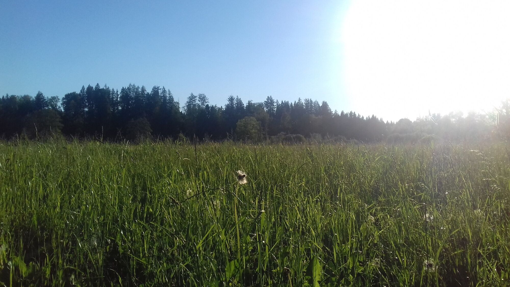
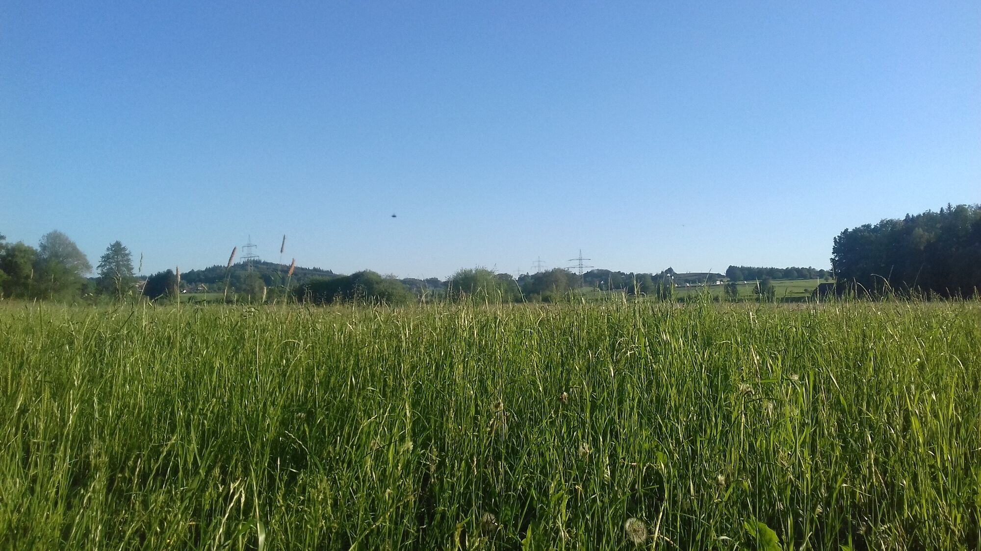
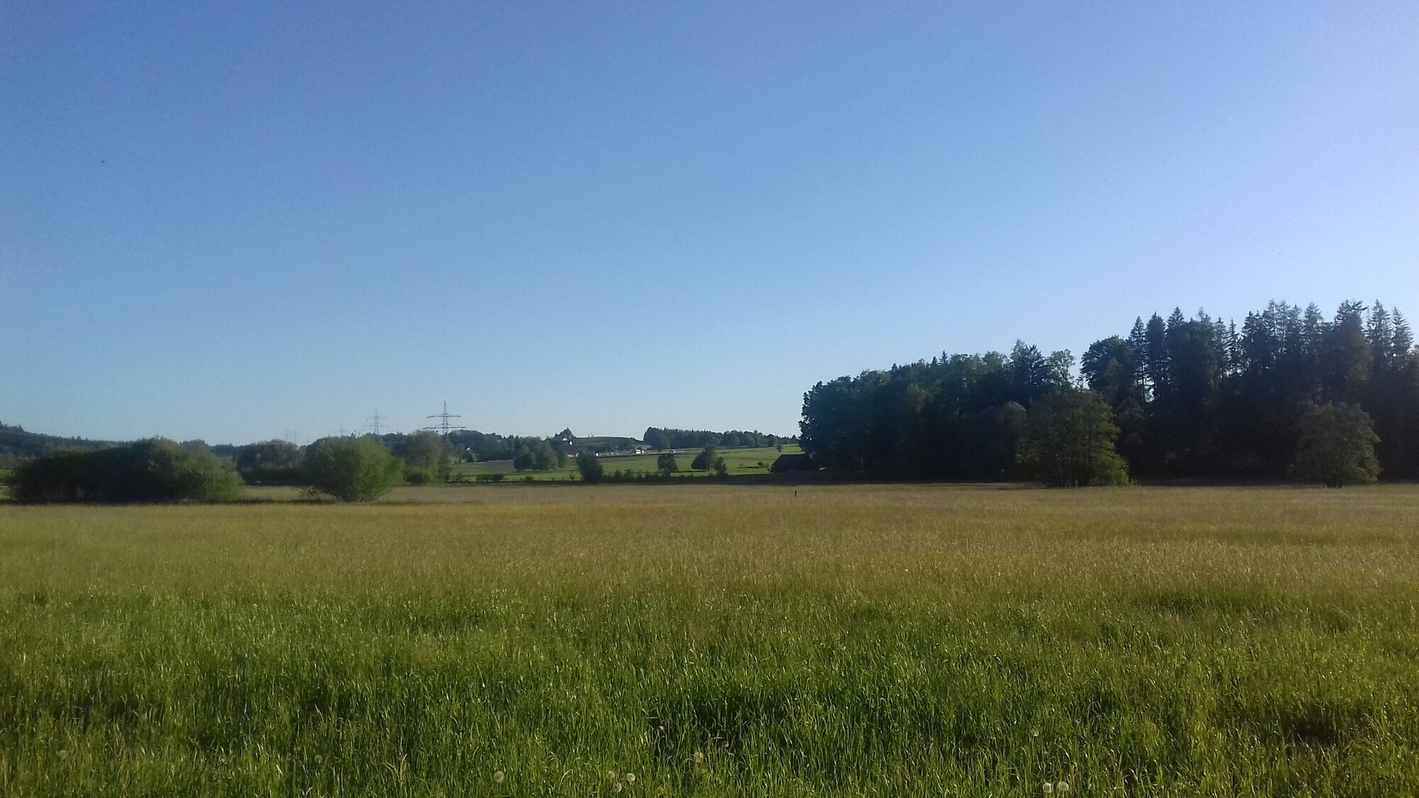
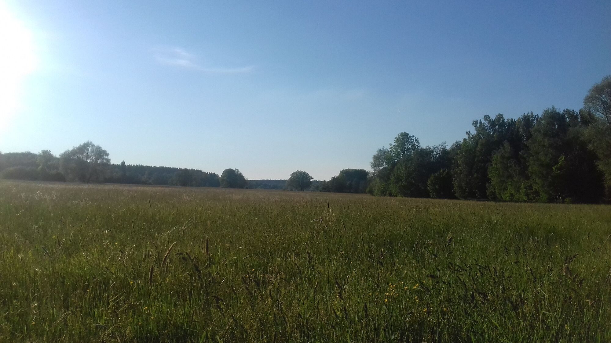
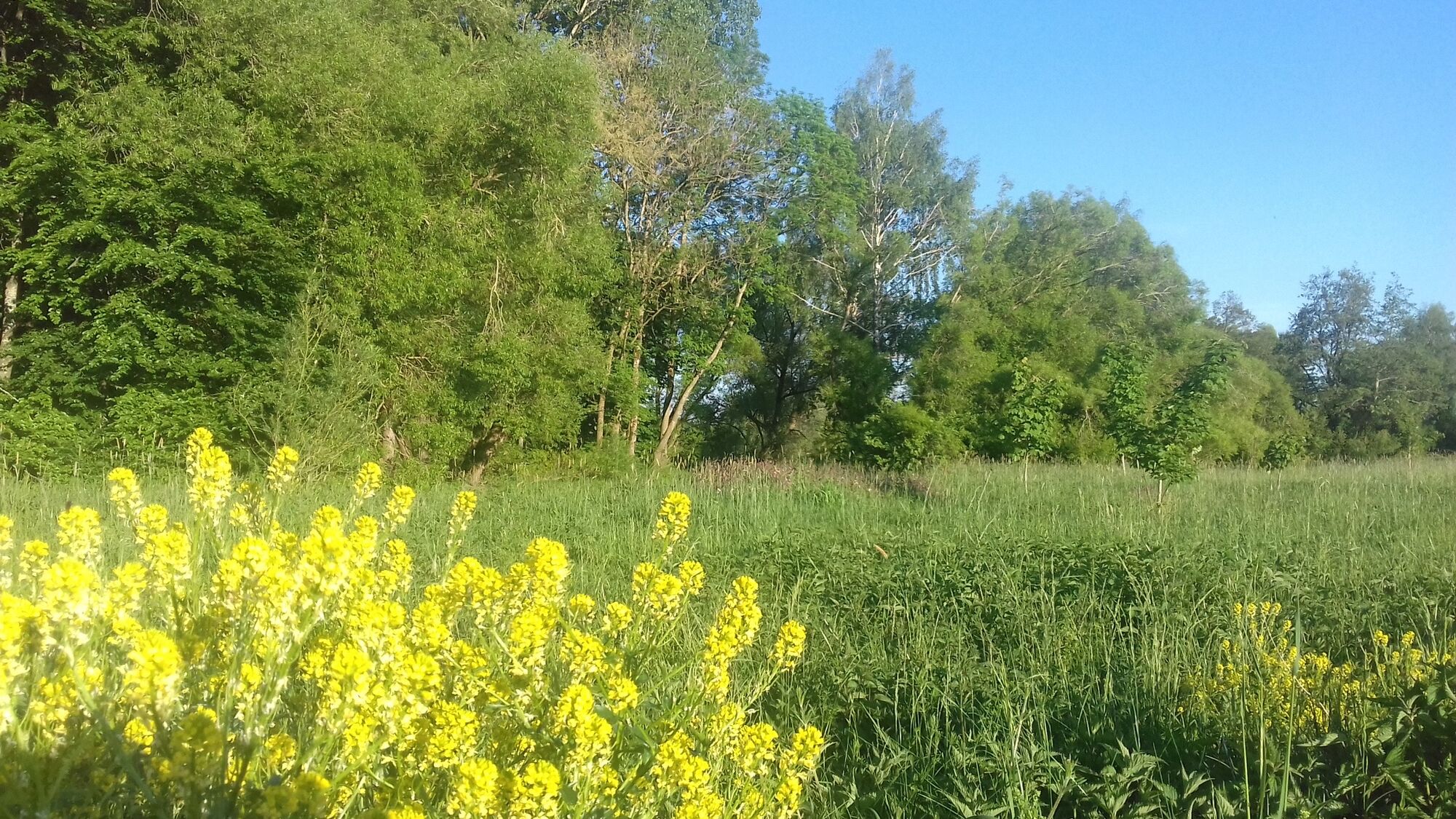
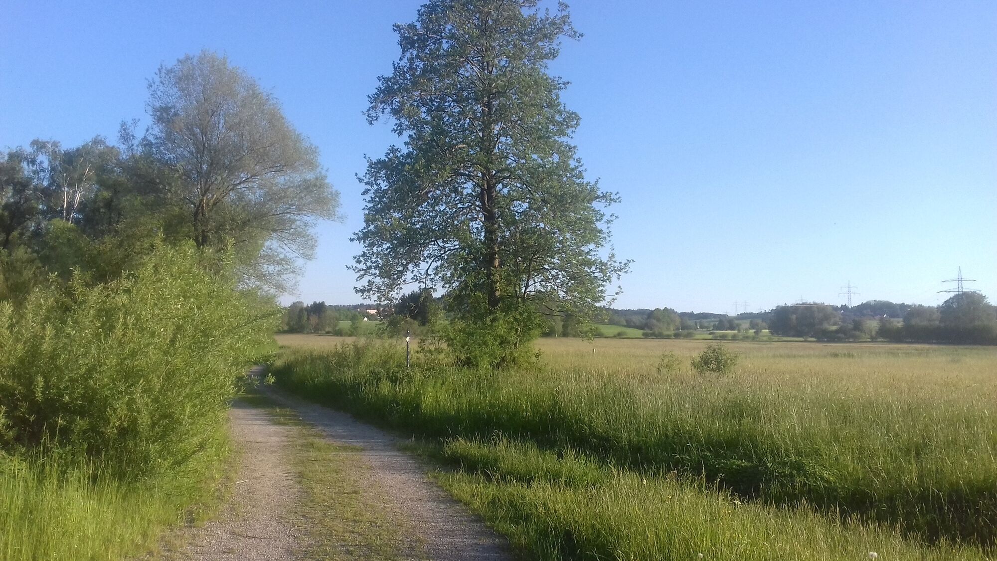
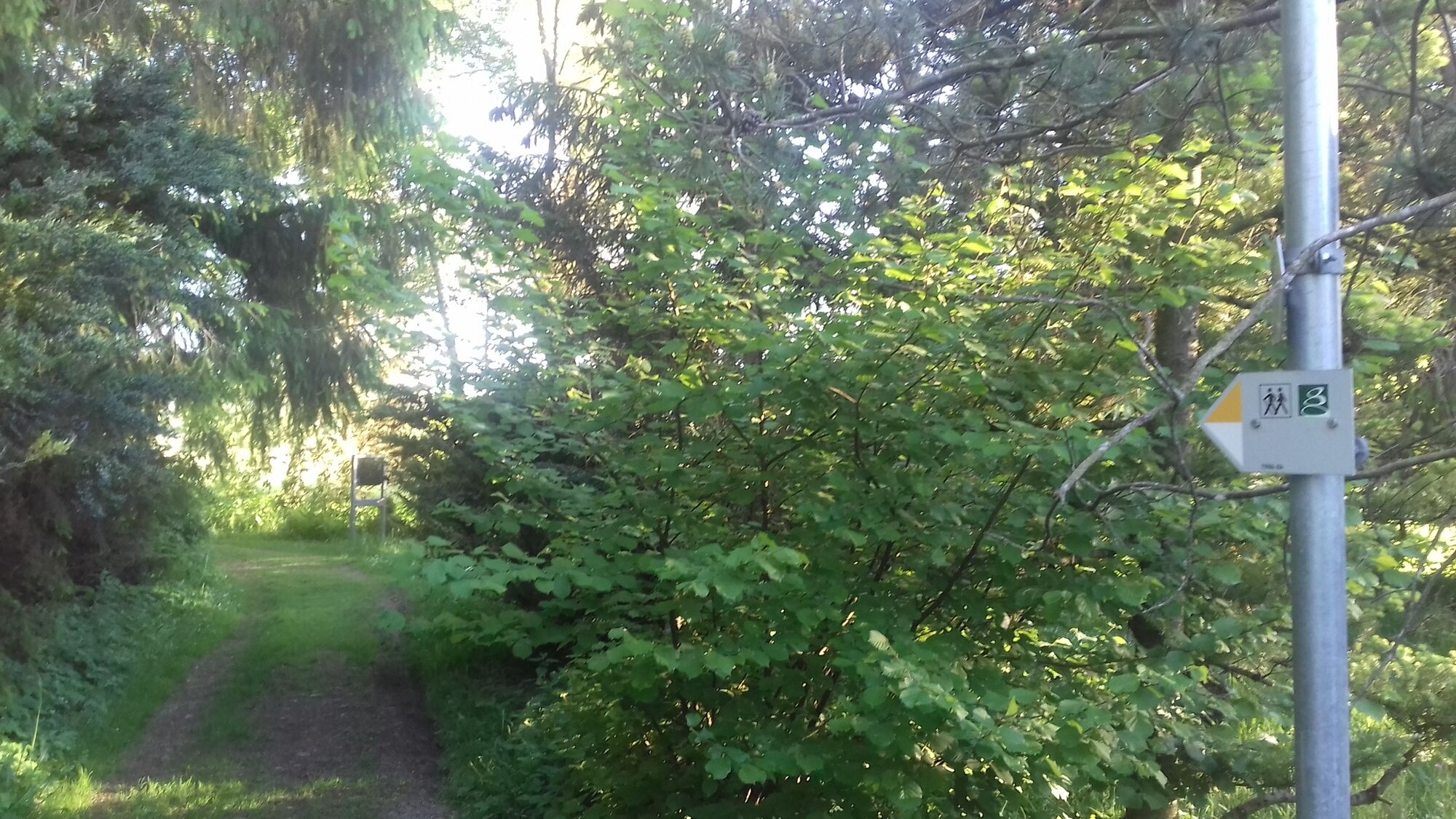
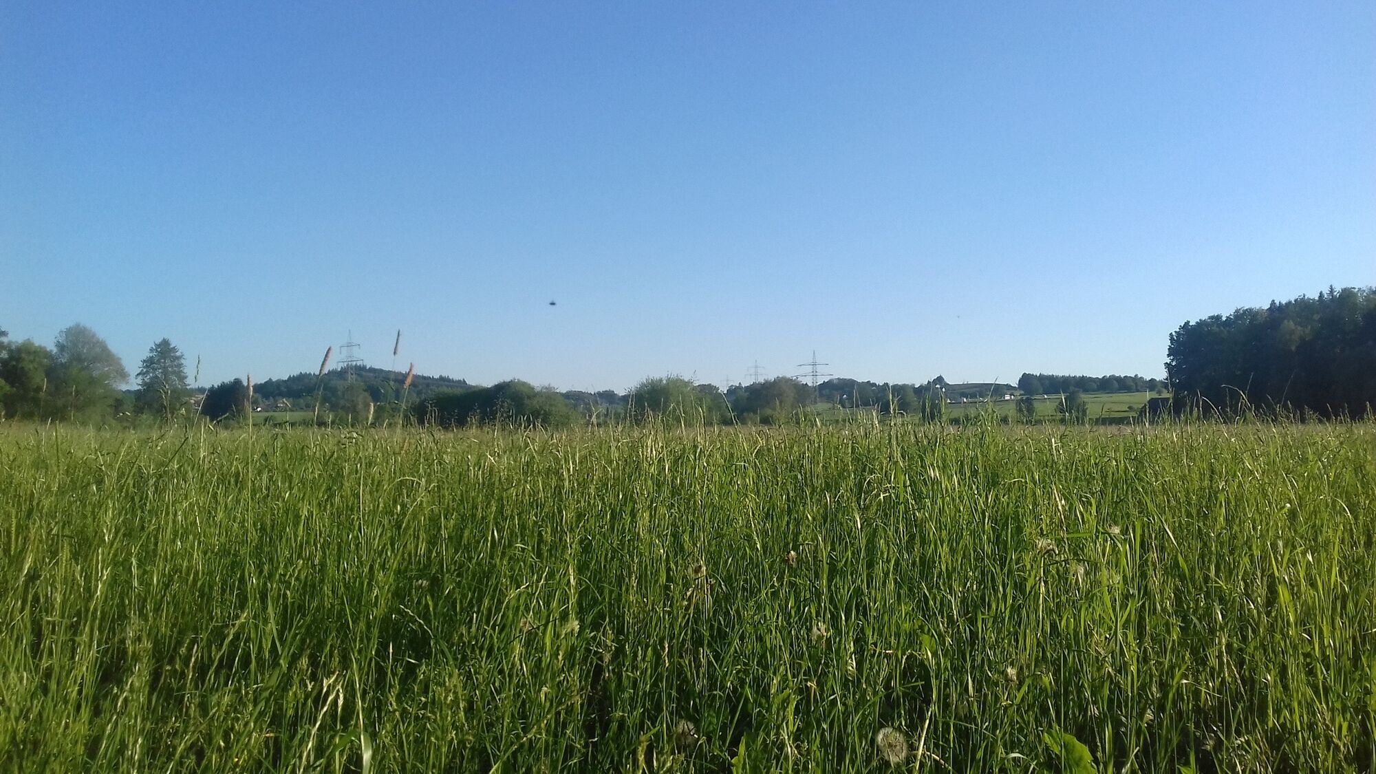
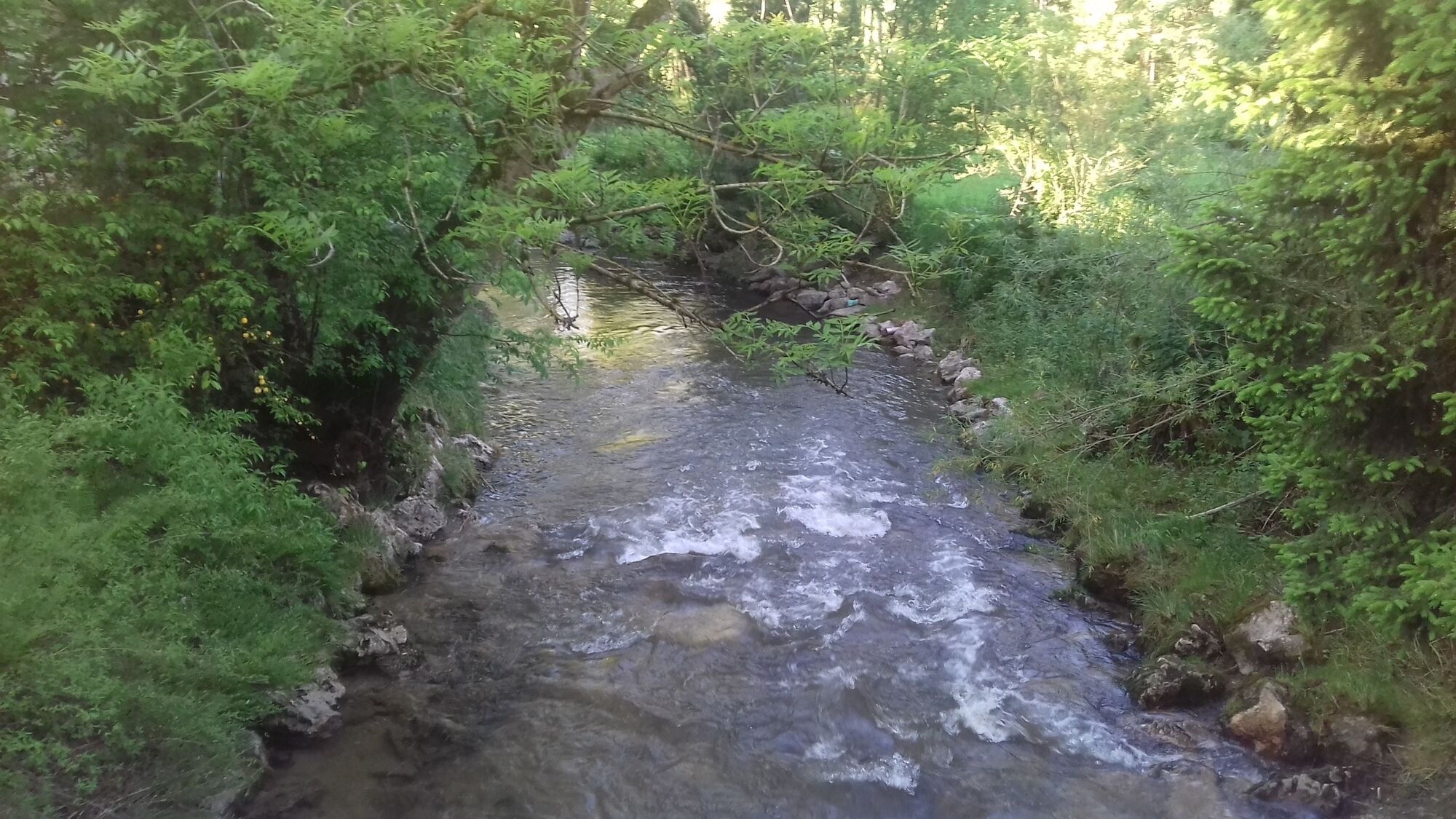
We start after the underpass on the dirt road into the meadow-rich Günztal. A stone pillar by a bench provides information about Pastor Sebastian Kneipp, who was born in the nearby hamlet of Stephansried. We cross the Günz at the pedestrian bridge and follow the meadow path to a fork near one of the biotopes, where we turn right and cross the Günz again on another bridge. We walk along the meadows towards Eggisried and the artist area of the Erich-Schickling Foundation. From time to time, you can already hear the calls of the peacocks that live on the estate. At the fork, we keep left and follow the path through the artist area, cross the bridge, and turn left. On our way, the Günz with its gravel banks accompanies us on the left, meadows and scattered biotopes on the right. Shortly afterwards, we reach the path we know from the outbound route and go straight back to Ottobeuren.


Factsheet:
Duration: 0.45 h
Length: 2.8 km
Ascent: 12 meters
Descent: 12 meters
Technique: 1 out of 6 stars
Condition: 1 out of 6 stars
Difficulty: easy
Good to know:
The Erich-Schickling Foundation in the Günztal is the artist area of the eponymous, now deceased artist Erich Schickling. Tours, exhibitions, concerts, and lectures are offered.
The Günz is the longest stream system in Bavaria. A biotope network was established under the leadership of the KulturLandschaft Günztal Foundation north of Ottobeuren.
Uzyskaj wgląd
Zawsze na żywo z ponad 9 500 kamer internetowych. bergfex Jako użytkownik Pro, możesz teraz zobaczyć odpowiednie kamery internetowe dla wielu wycieczek w aplikacji wycieczki od. Pozwala to na bezpośredni podgląd aktualnych warunków.
Popularne wycieczki w okolicy
-
4,5
On the Jakobus pilgrim route to the Schachenweiher
średniWędrówka 11,9 km -
4,0
Glücksplaneten route - exploring the solar system in Ottobeuren
światłoWędrówka 6,31 km -
4,0
Glücksheimat round - Exploring Kneipp - Ottobeuren
światłoWędrówka 11,8 km -
5,0
Around the Bühler Forest
średniWędrówka 5,65 km -
4,0
Schelmenheide circular route
światłoWędrówka 5,77 km -
5,0
Ottobeurer Bannwald-Runde
światłoWędrówka 4,85 km -
4,5
Bad Grönenbach - Sack - Rothmoos
średniWędrówka 9,48 km -
4,7
Obergünzburg - Reverdysquelle - Ronsberg
średniWędrówka 12,2 km -
5,0
Through the Günztal to the Benninger Ried - northwest of Ottobeuren
średniJazda na rowerze 34,8 km -
Around the Benedictine monastery
światłoWędrówka 1,59 km
Wędrówki i tropienie


Nie przegap ofert i inspiracji na następne wakacje
Twój adres e-mail została dodana do listy mailingowej.





