







Nagelfluh chain: from Hochgrat to Immenstadt

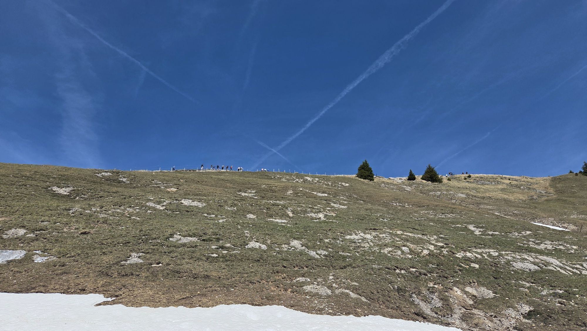
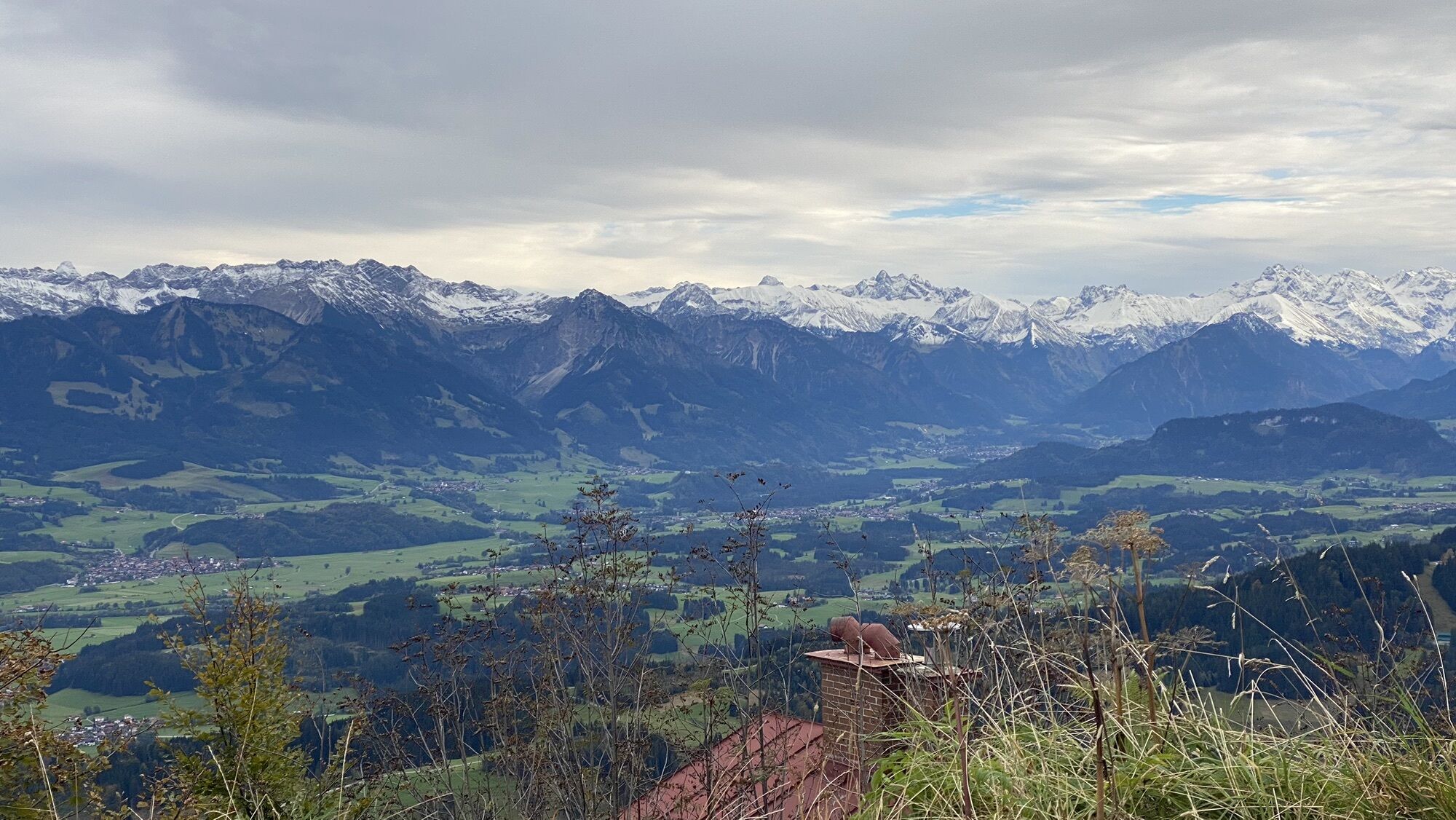
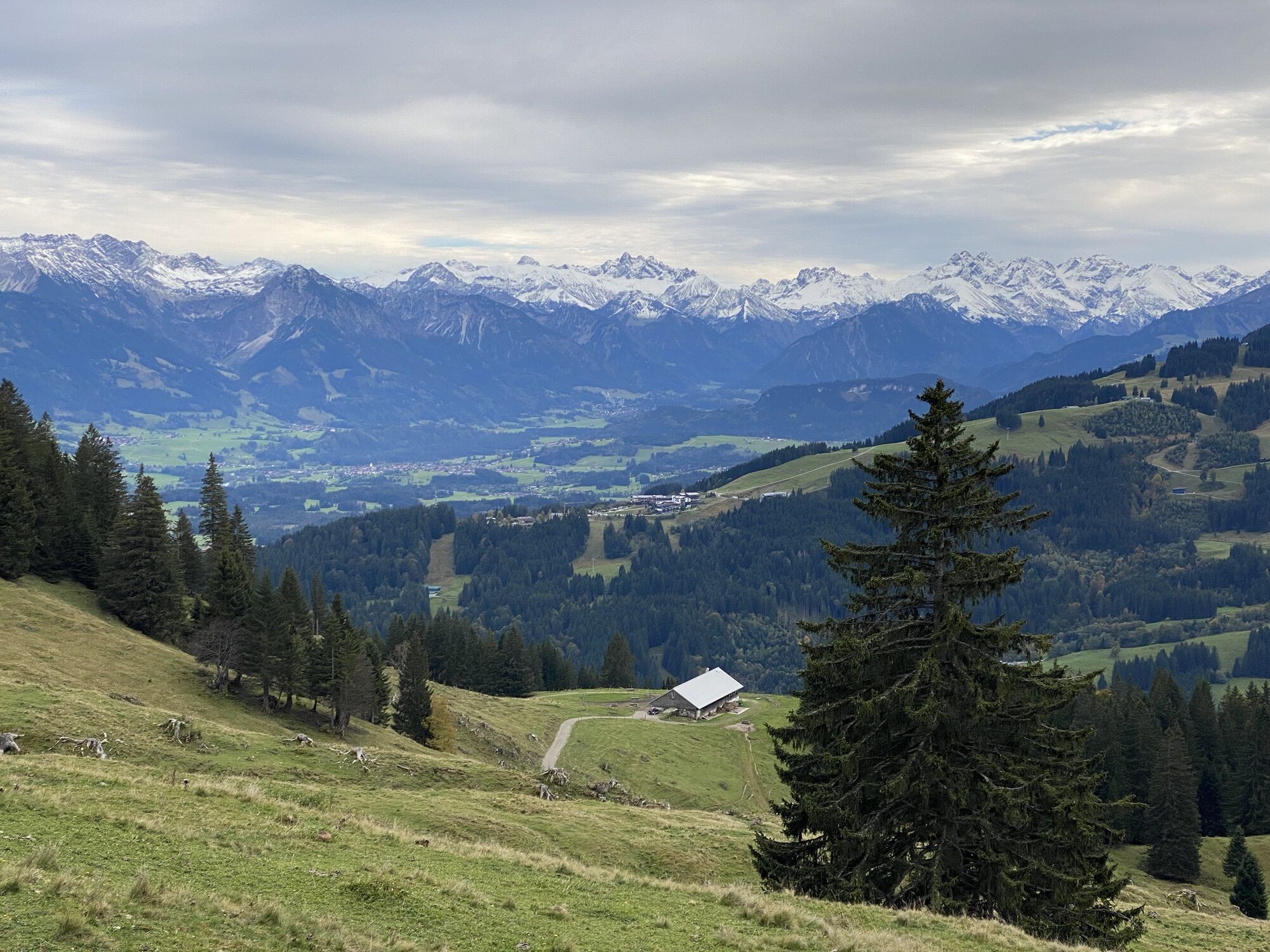
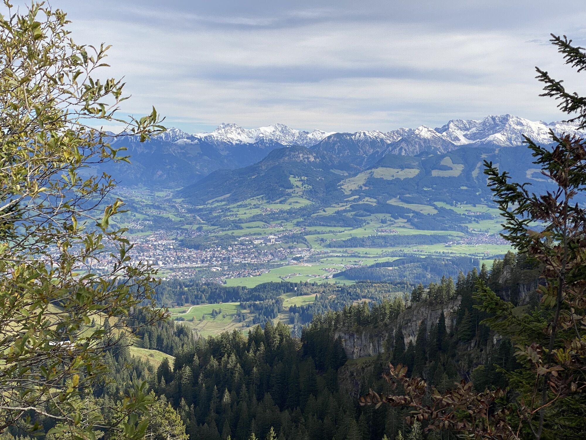
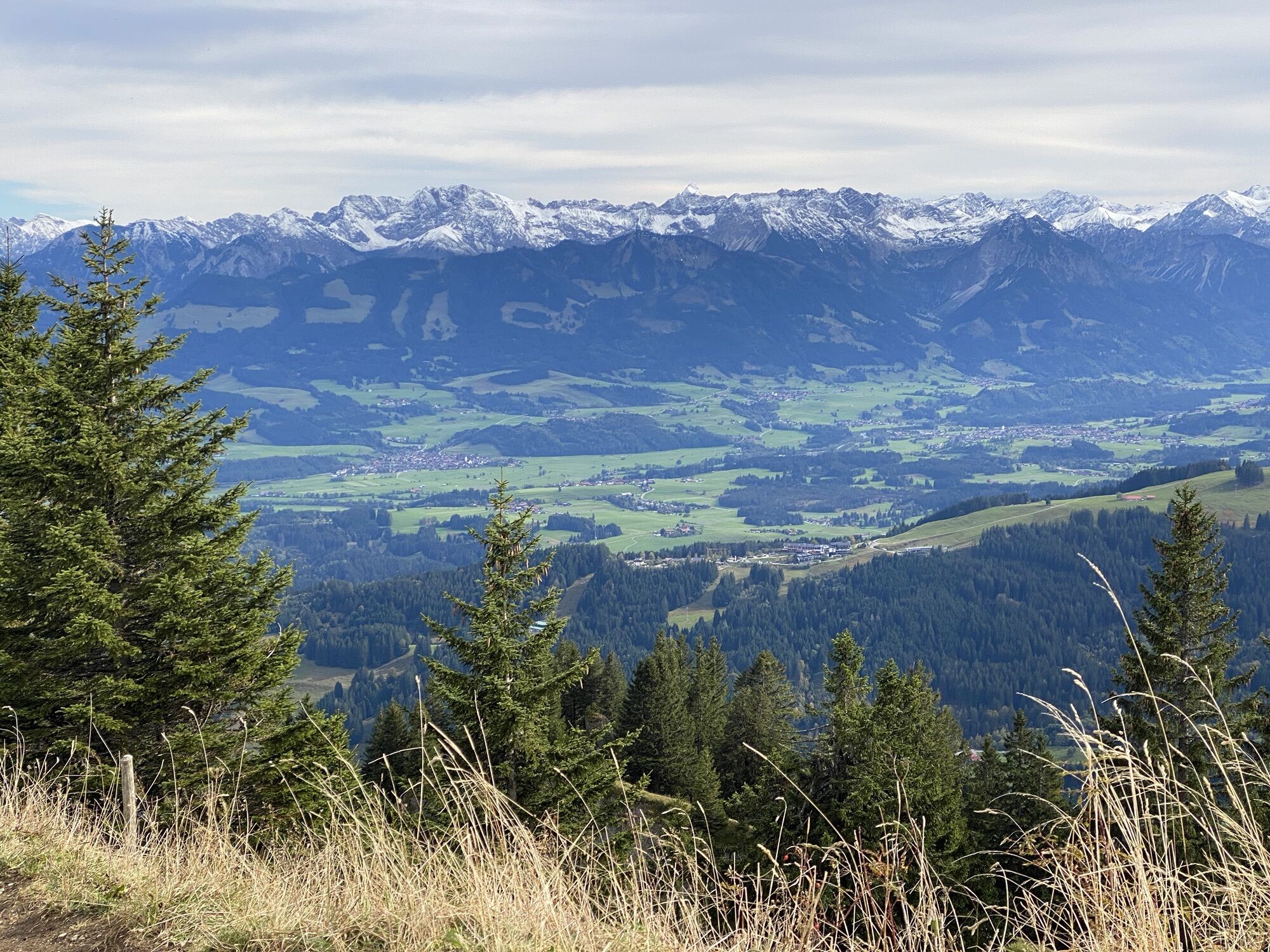
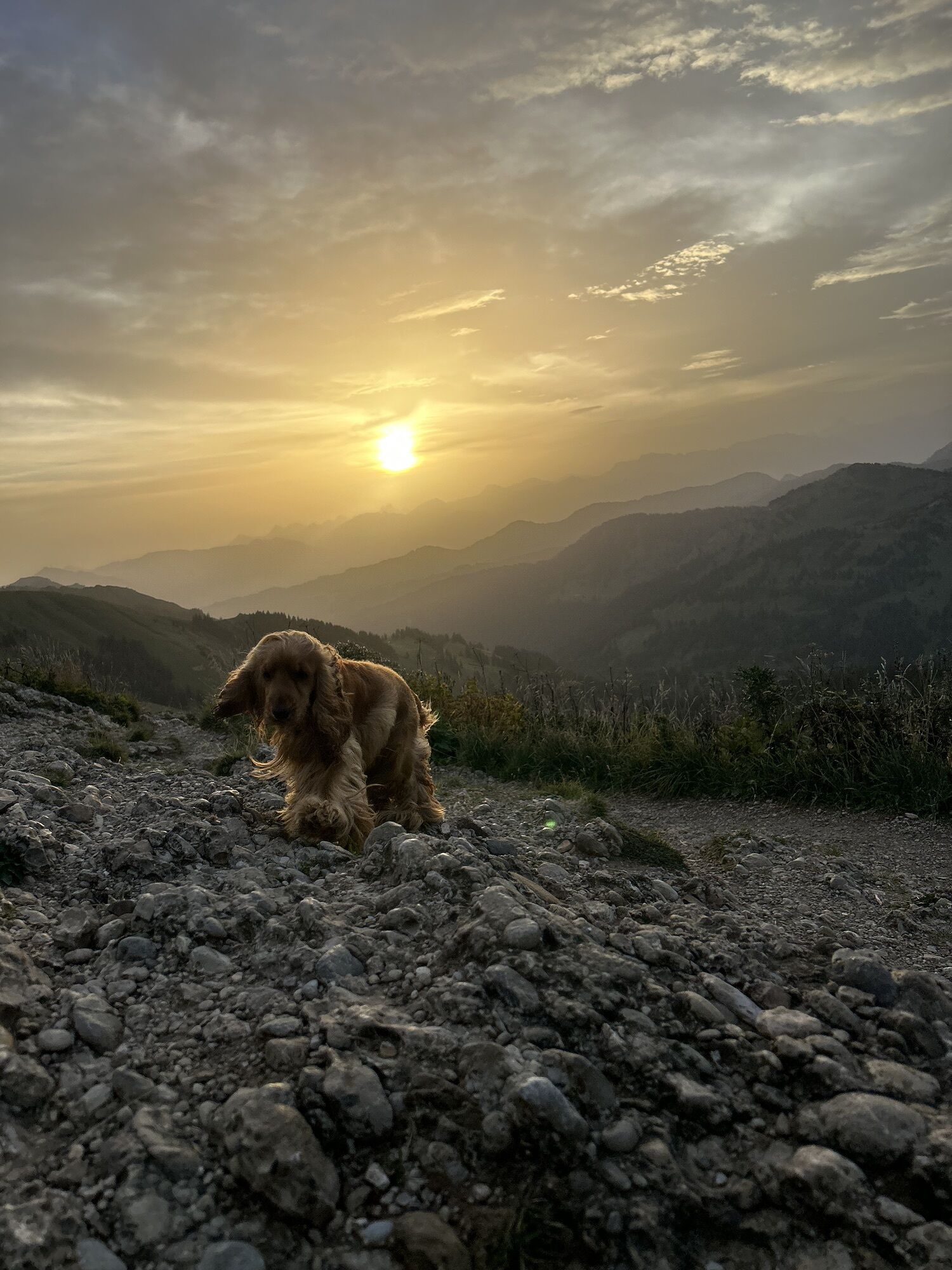

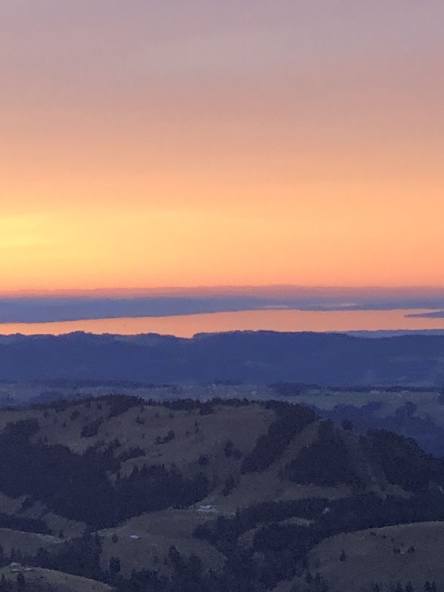
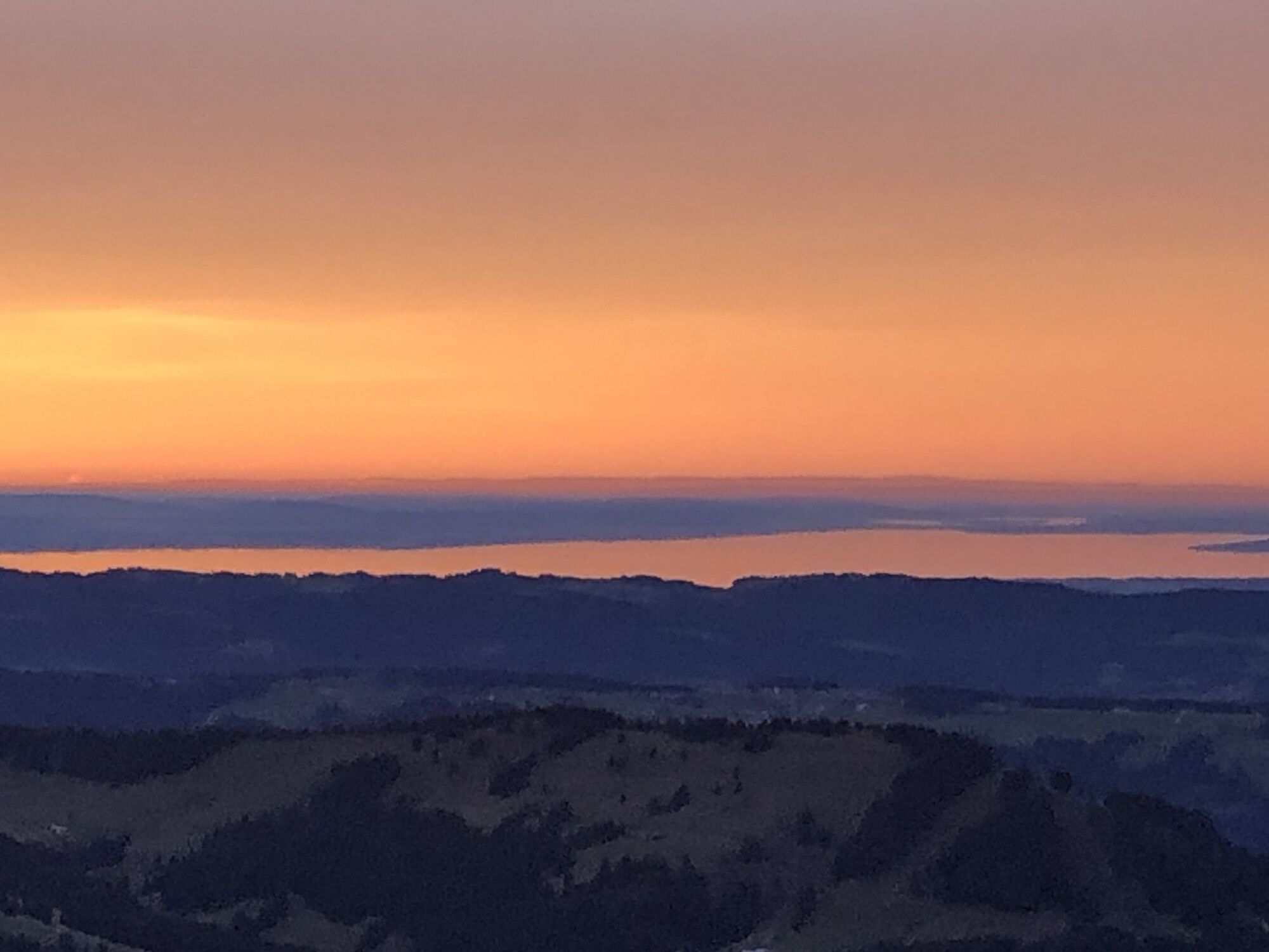
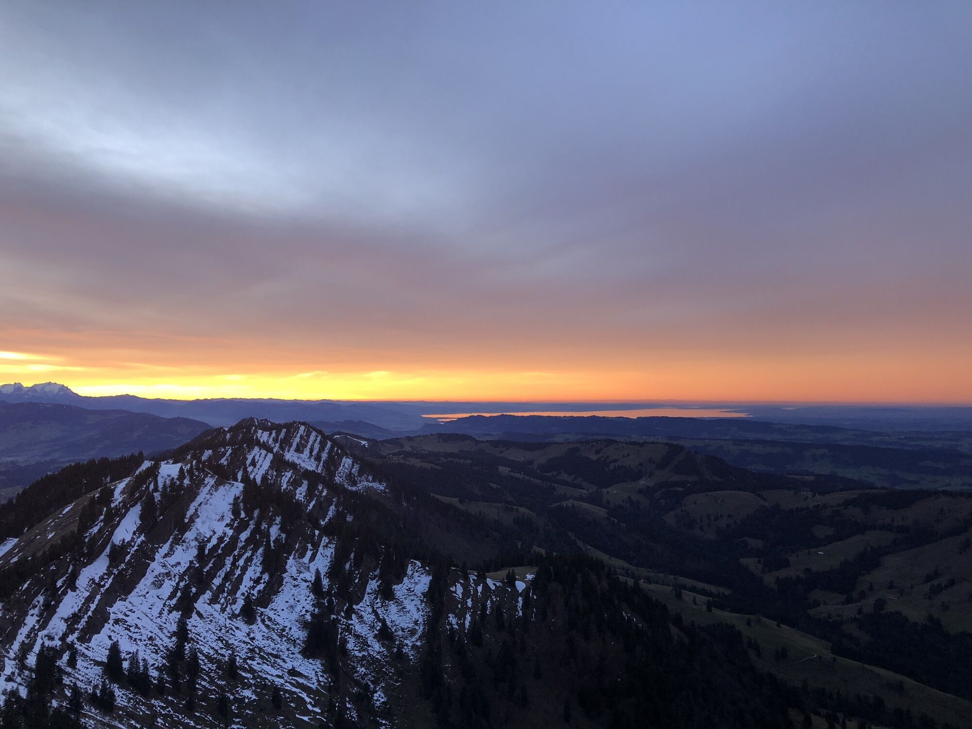
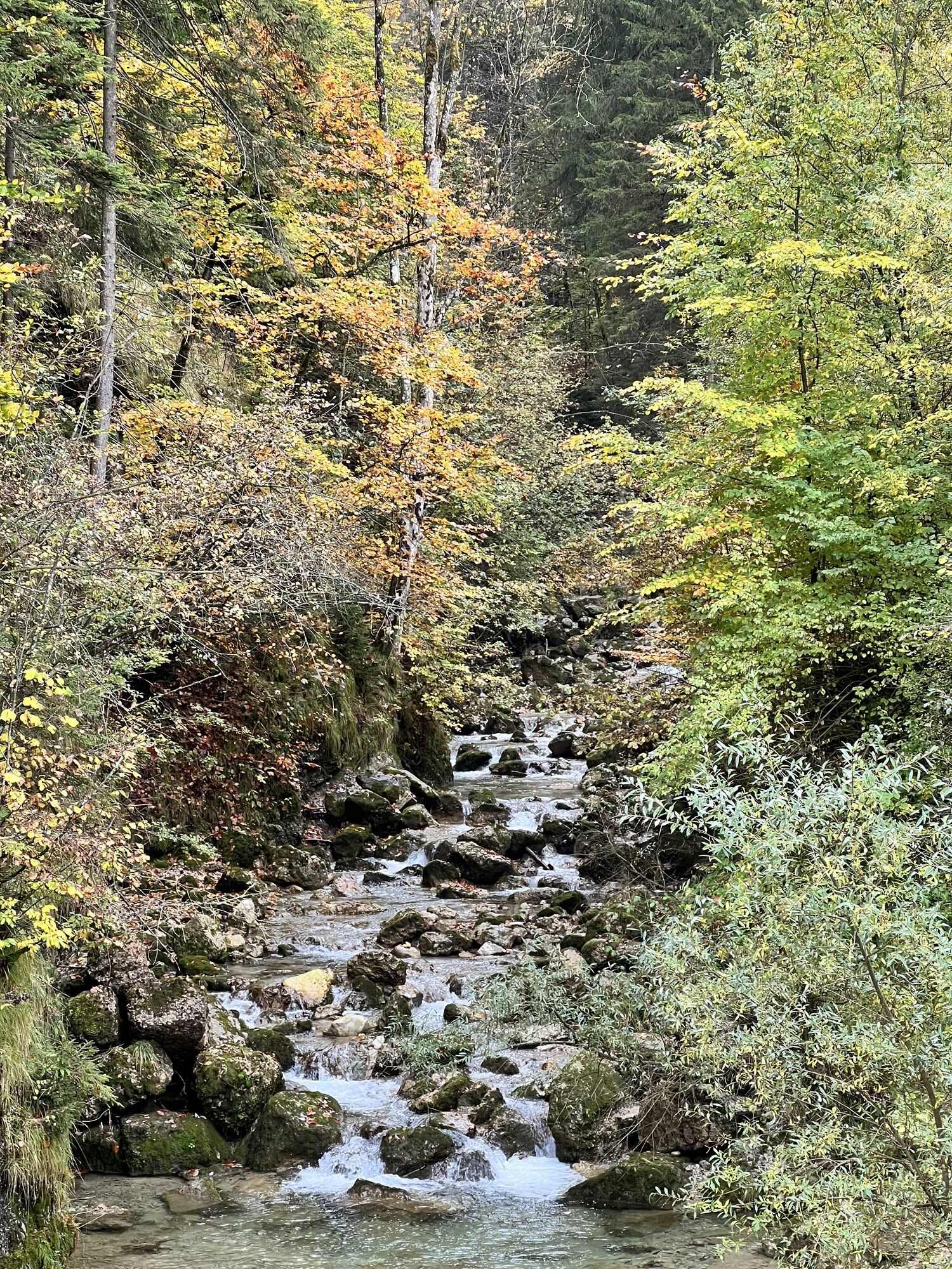
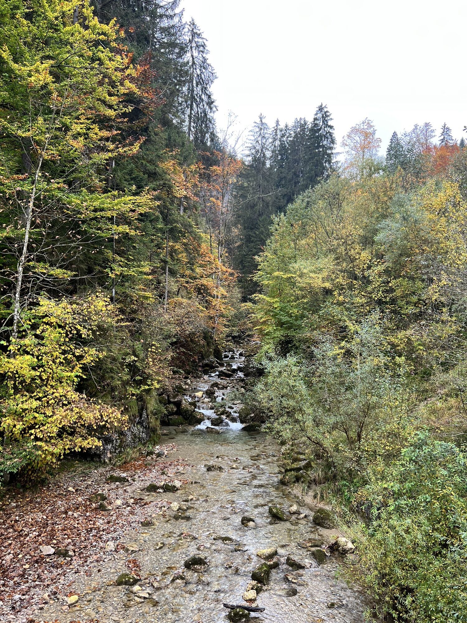
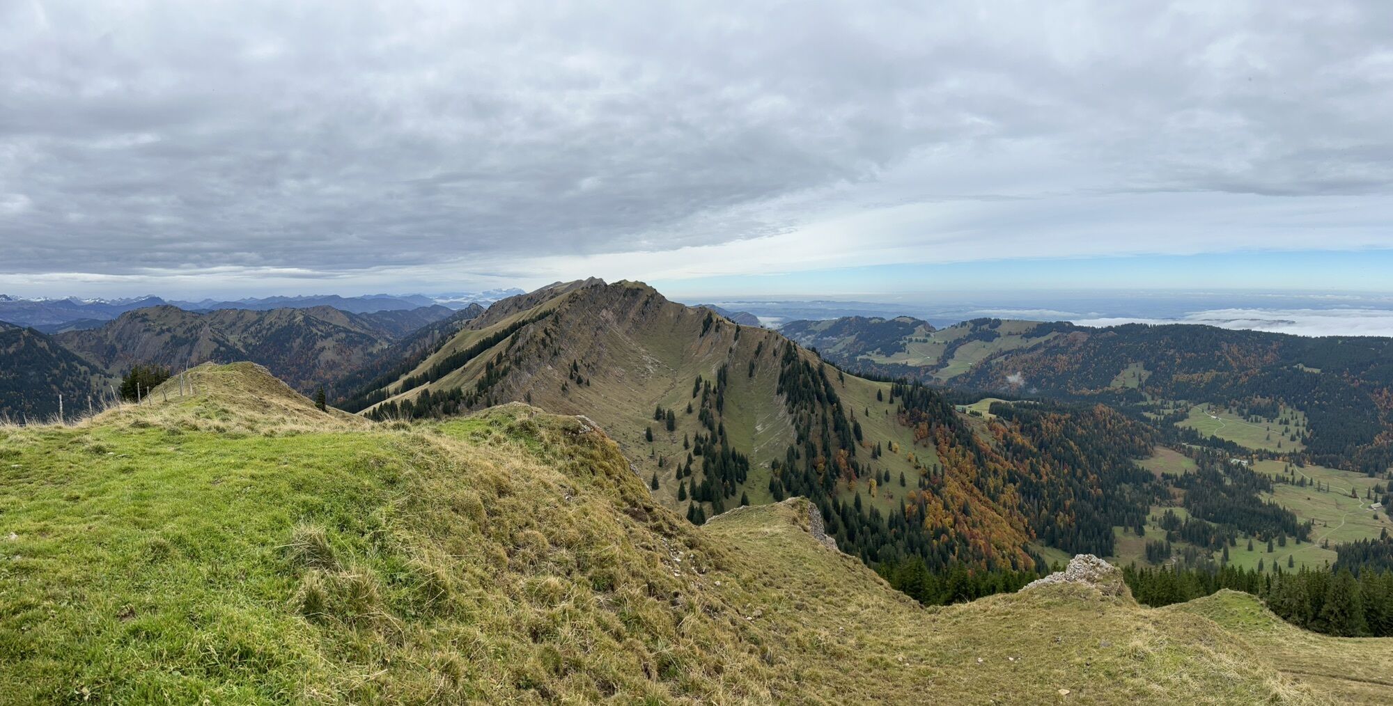
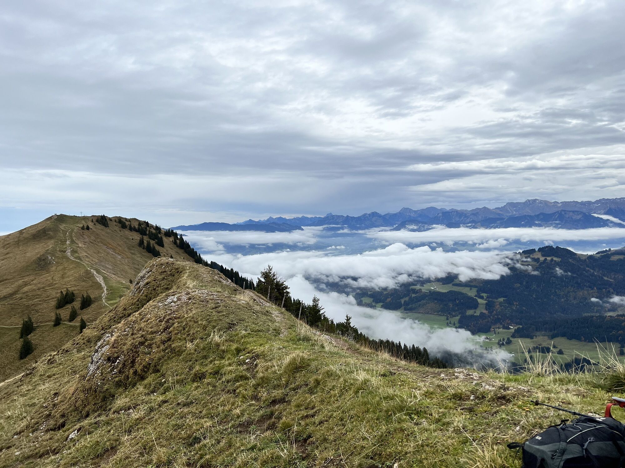
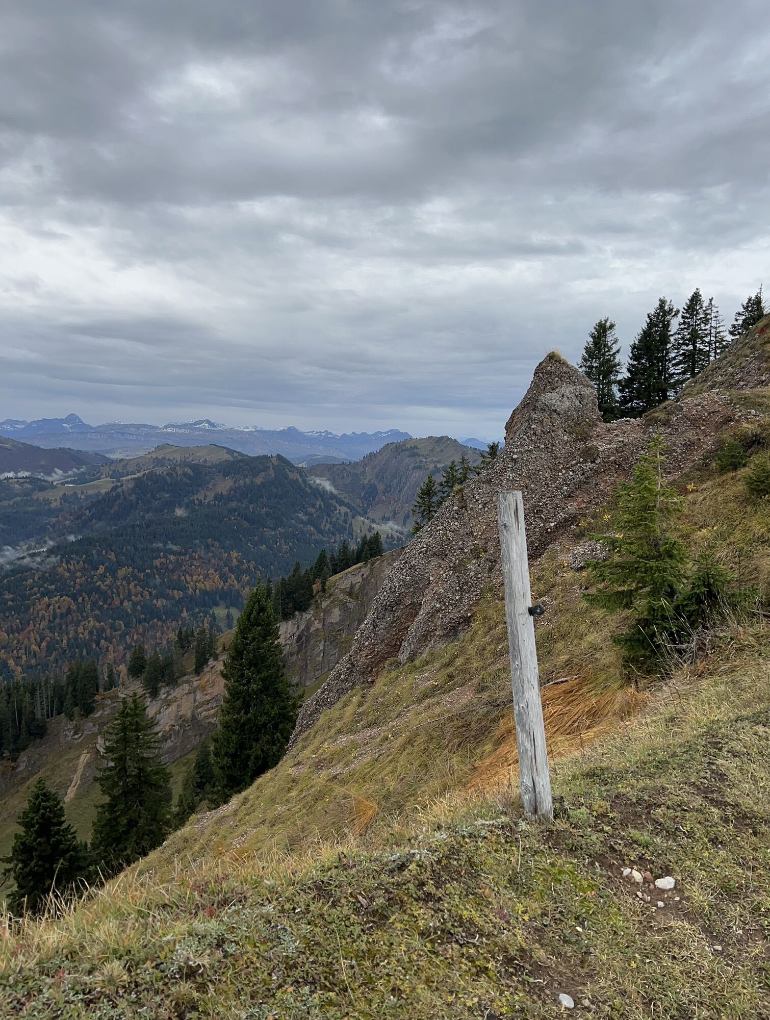
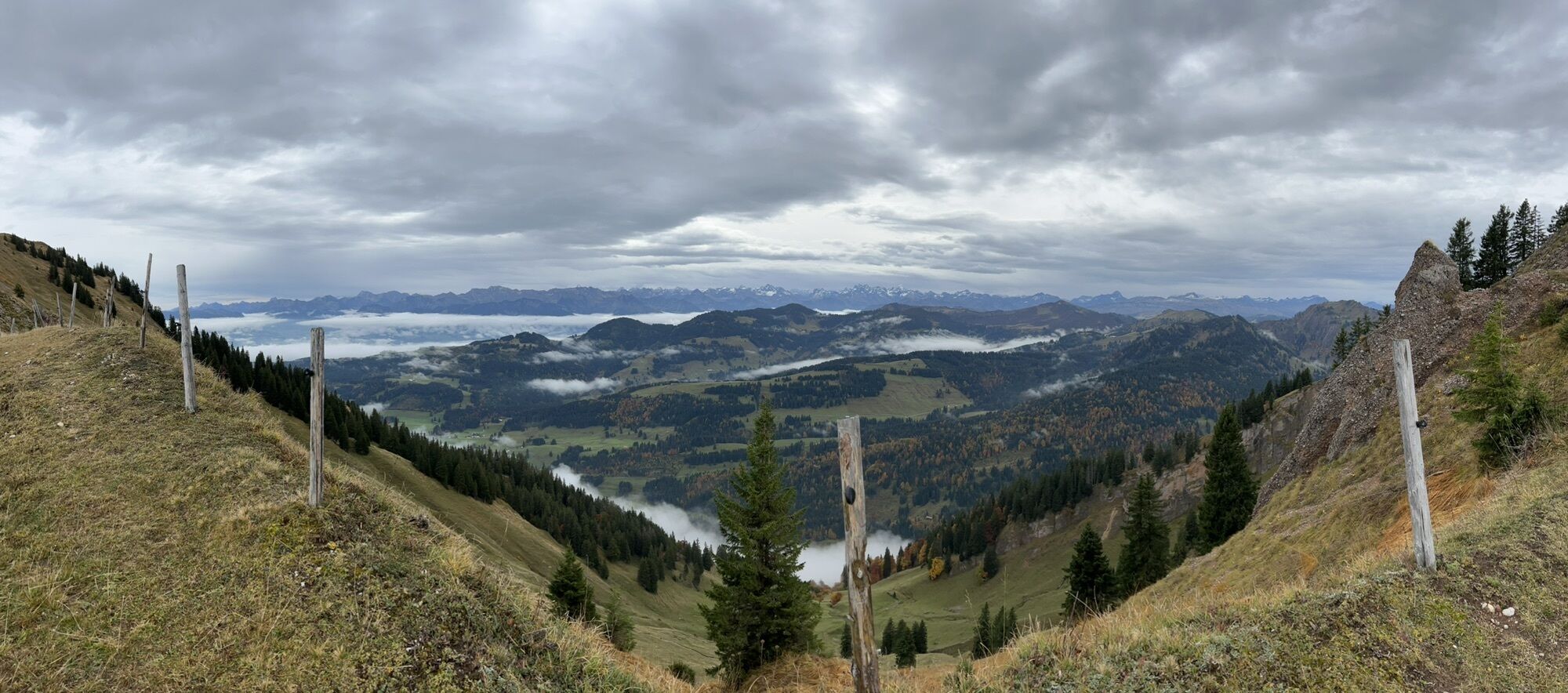
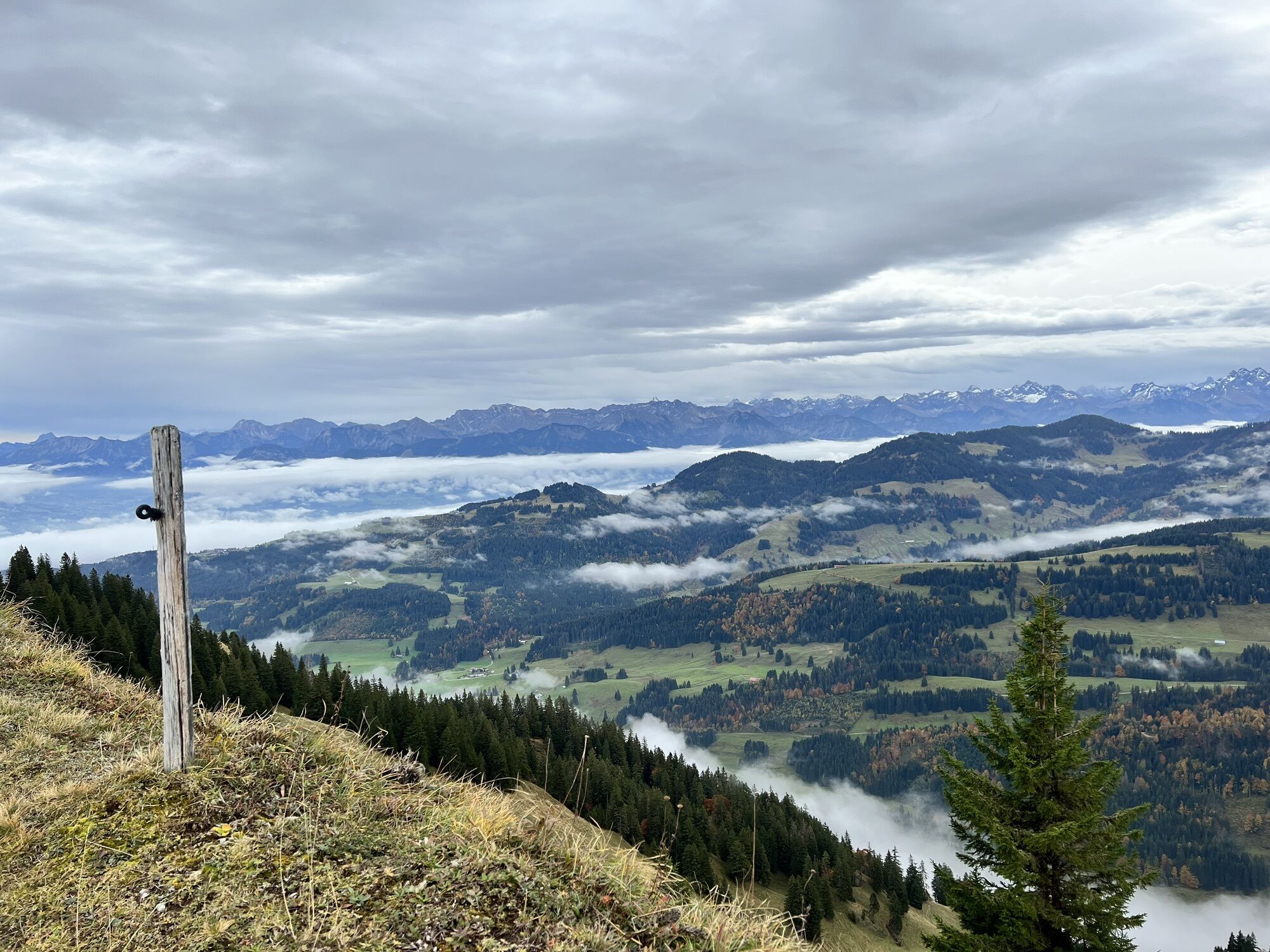
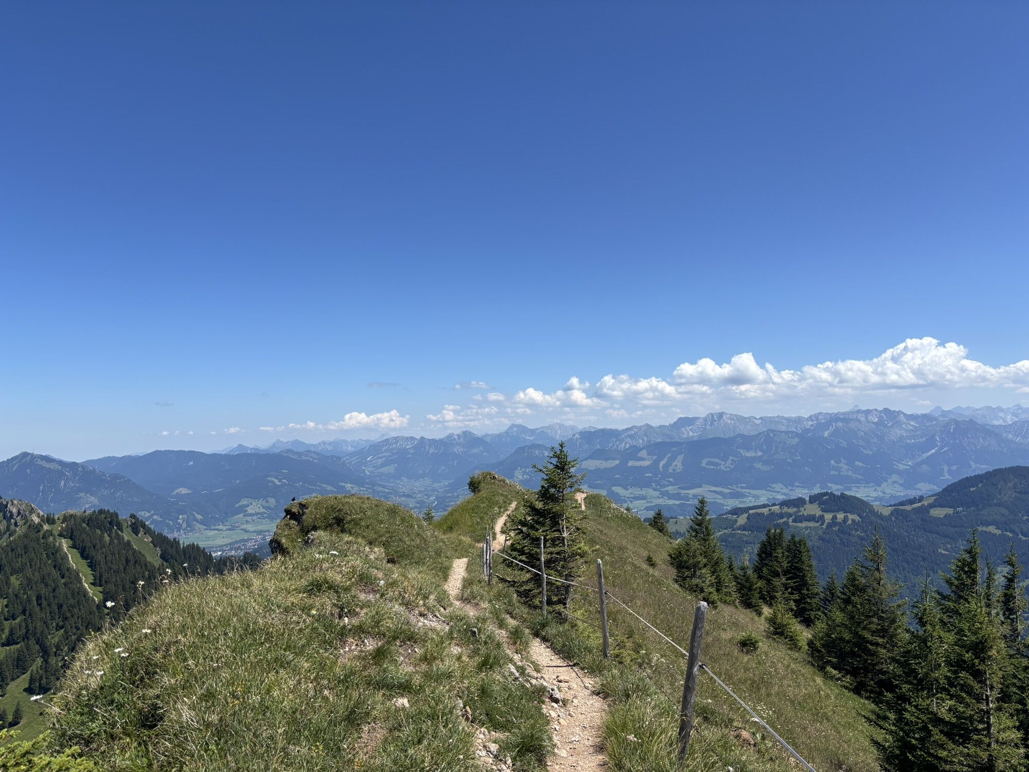
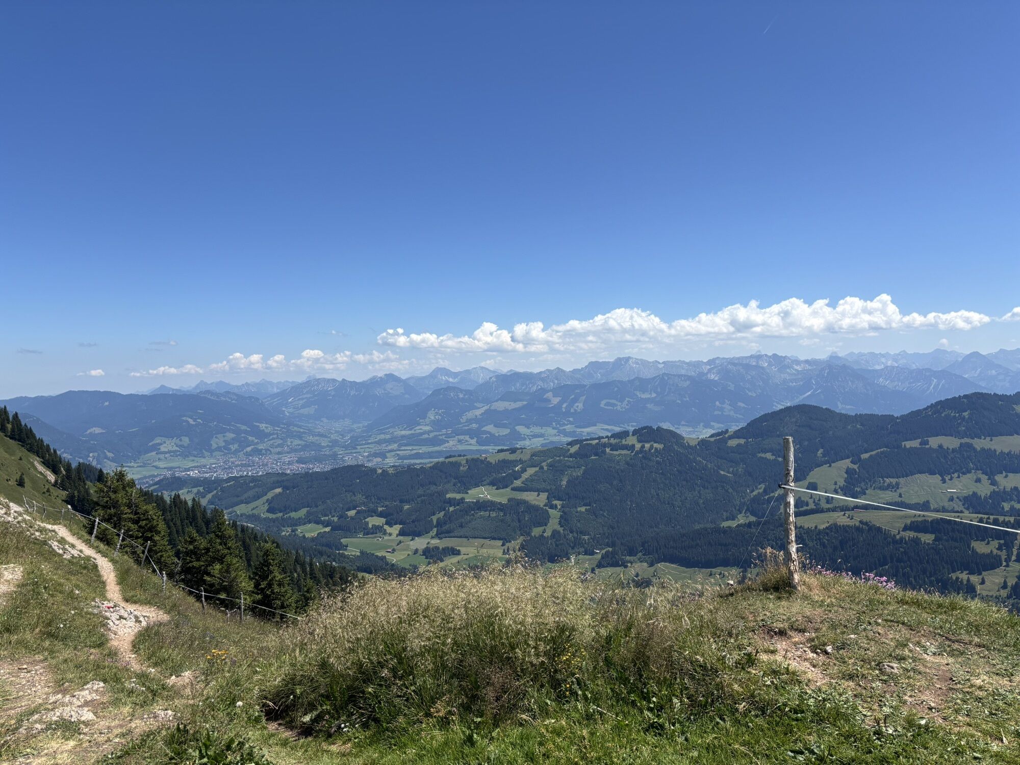
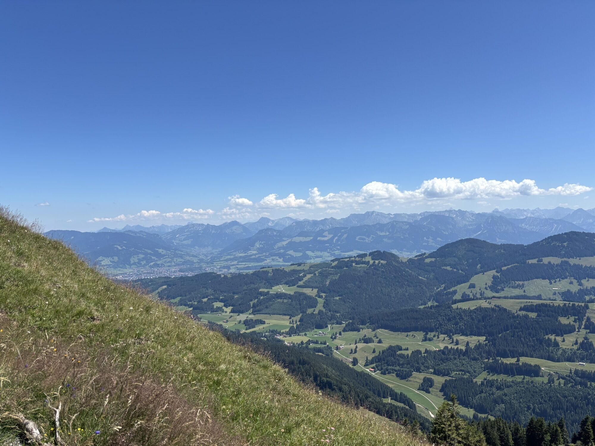
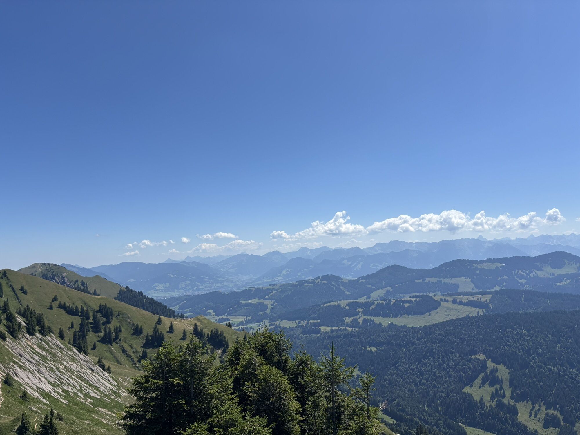
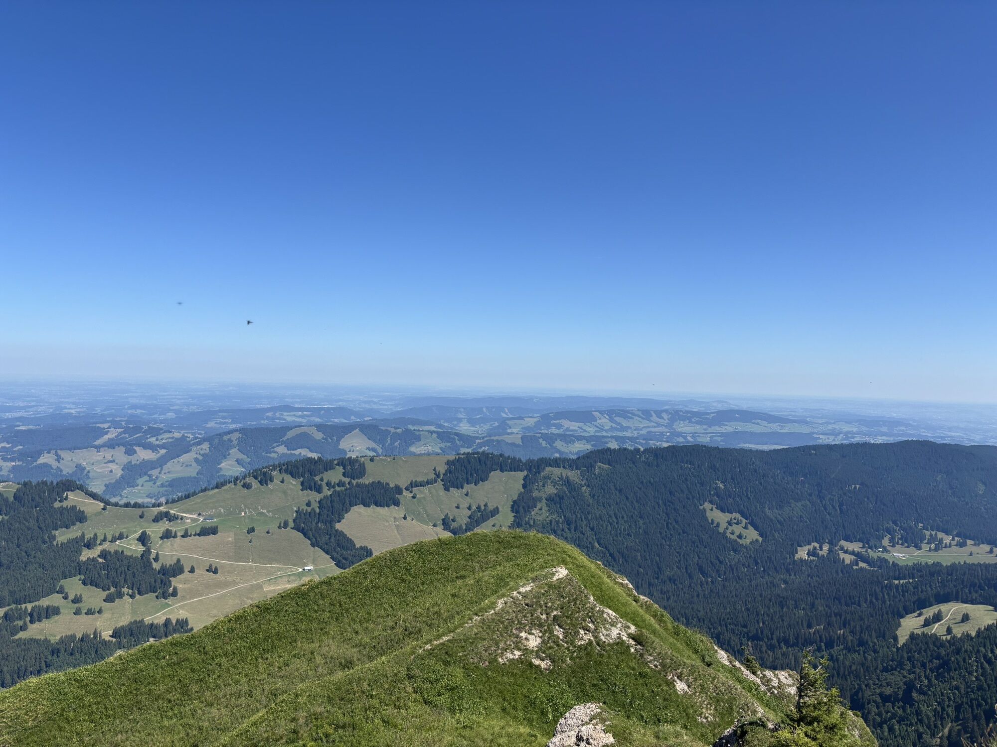
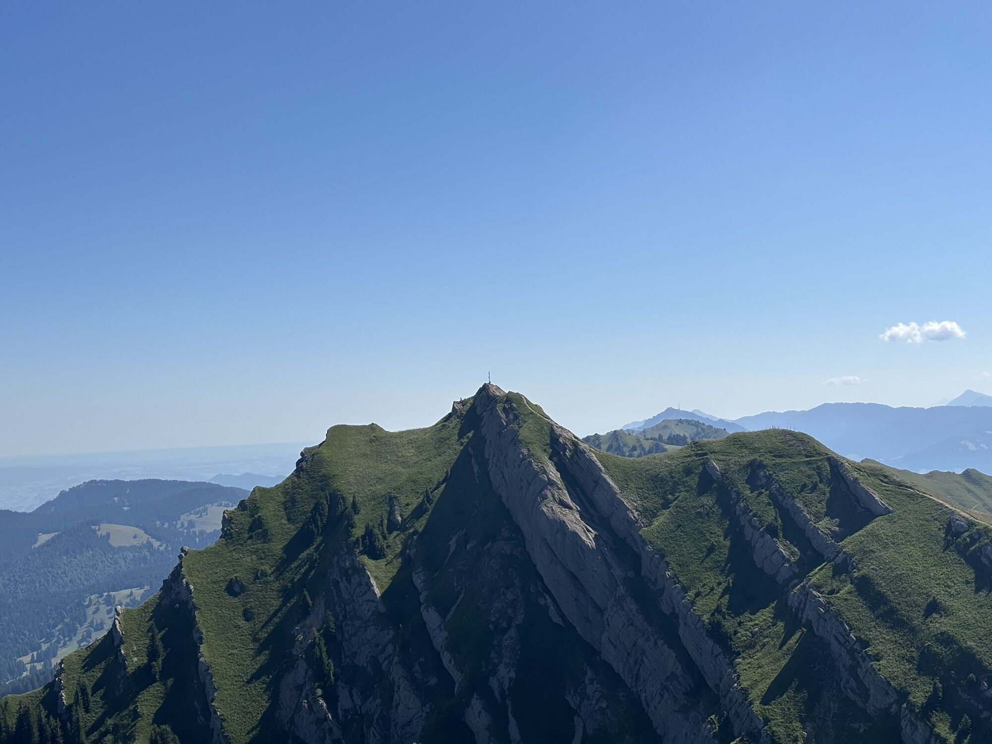
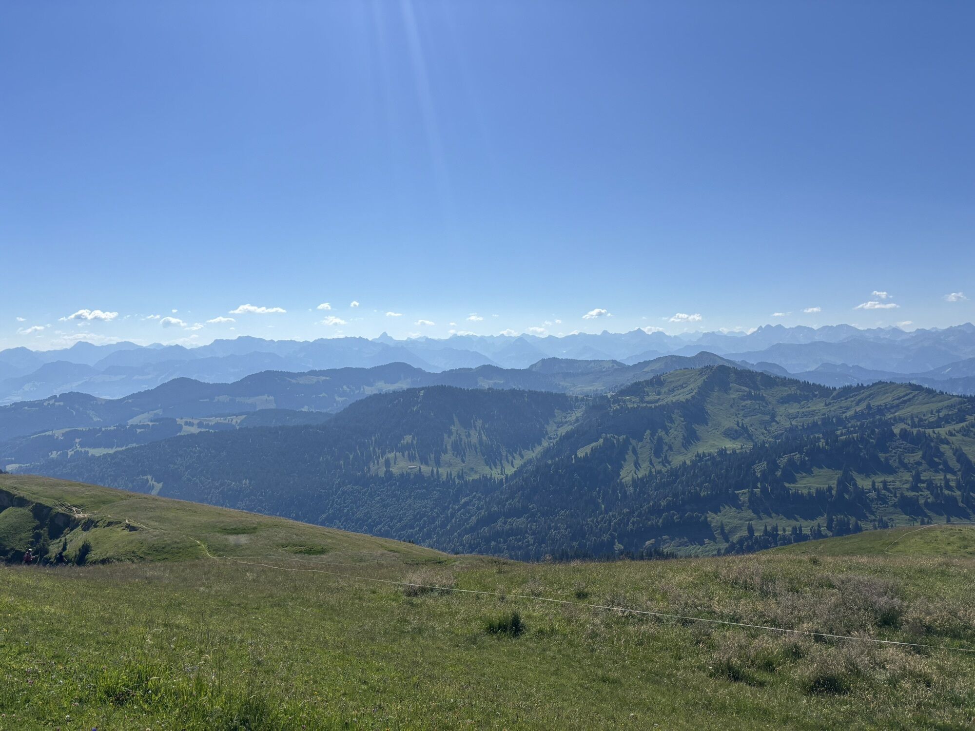
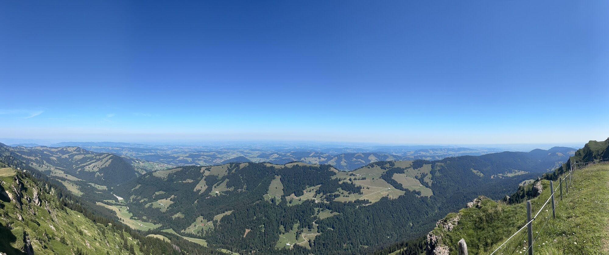
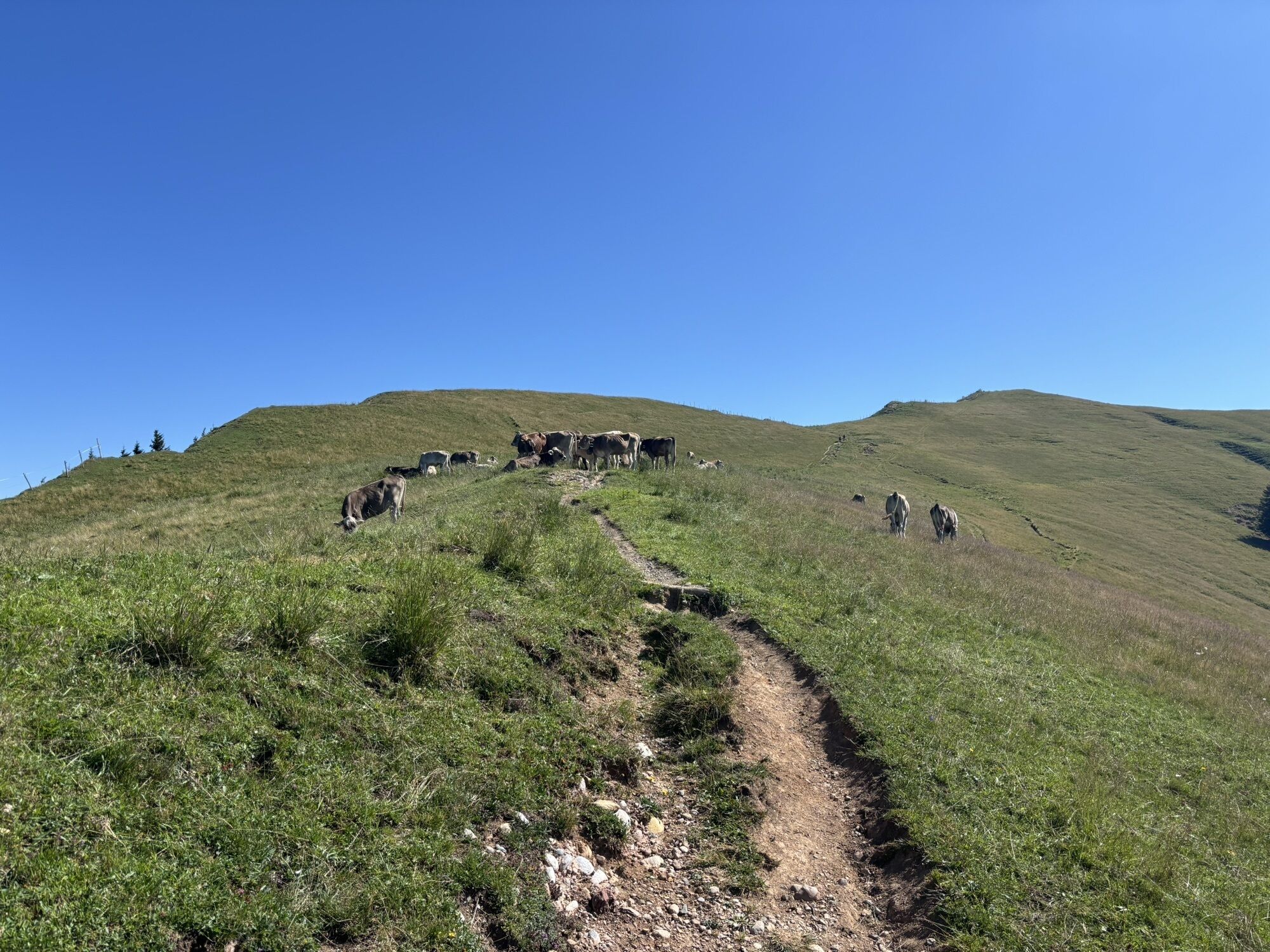
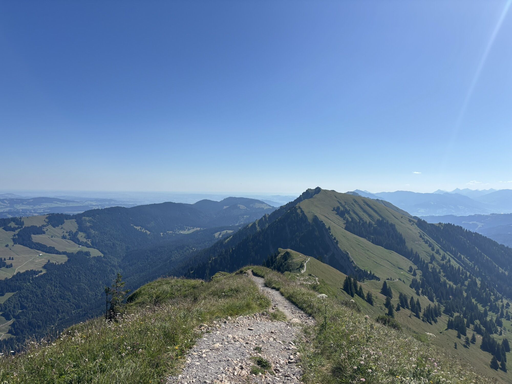
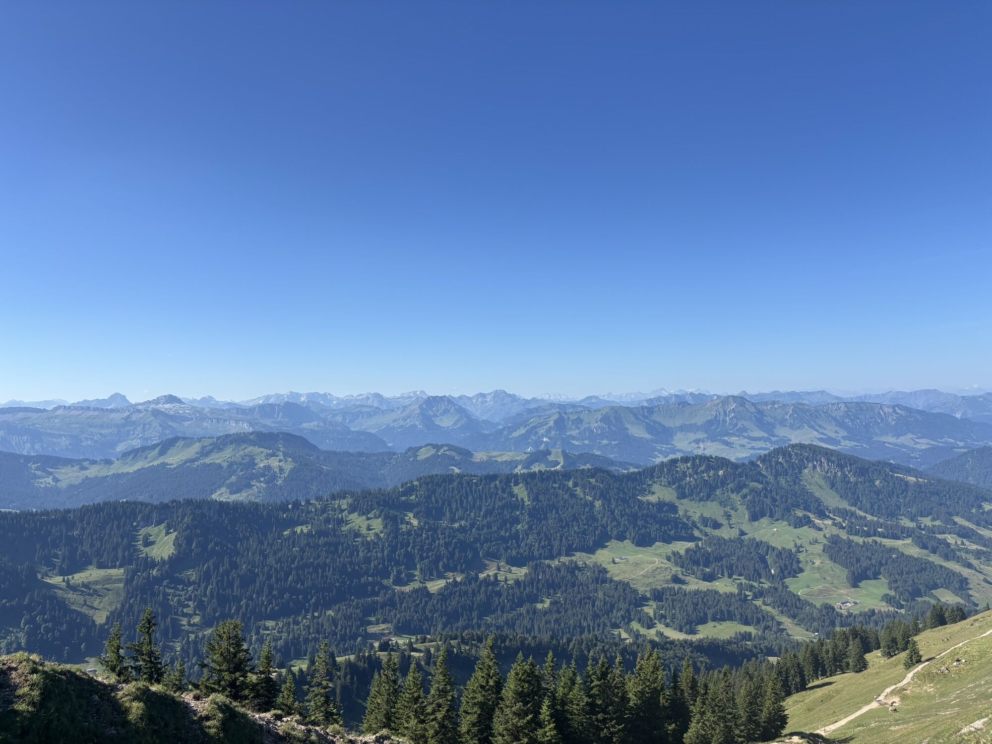
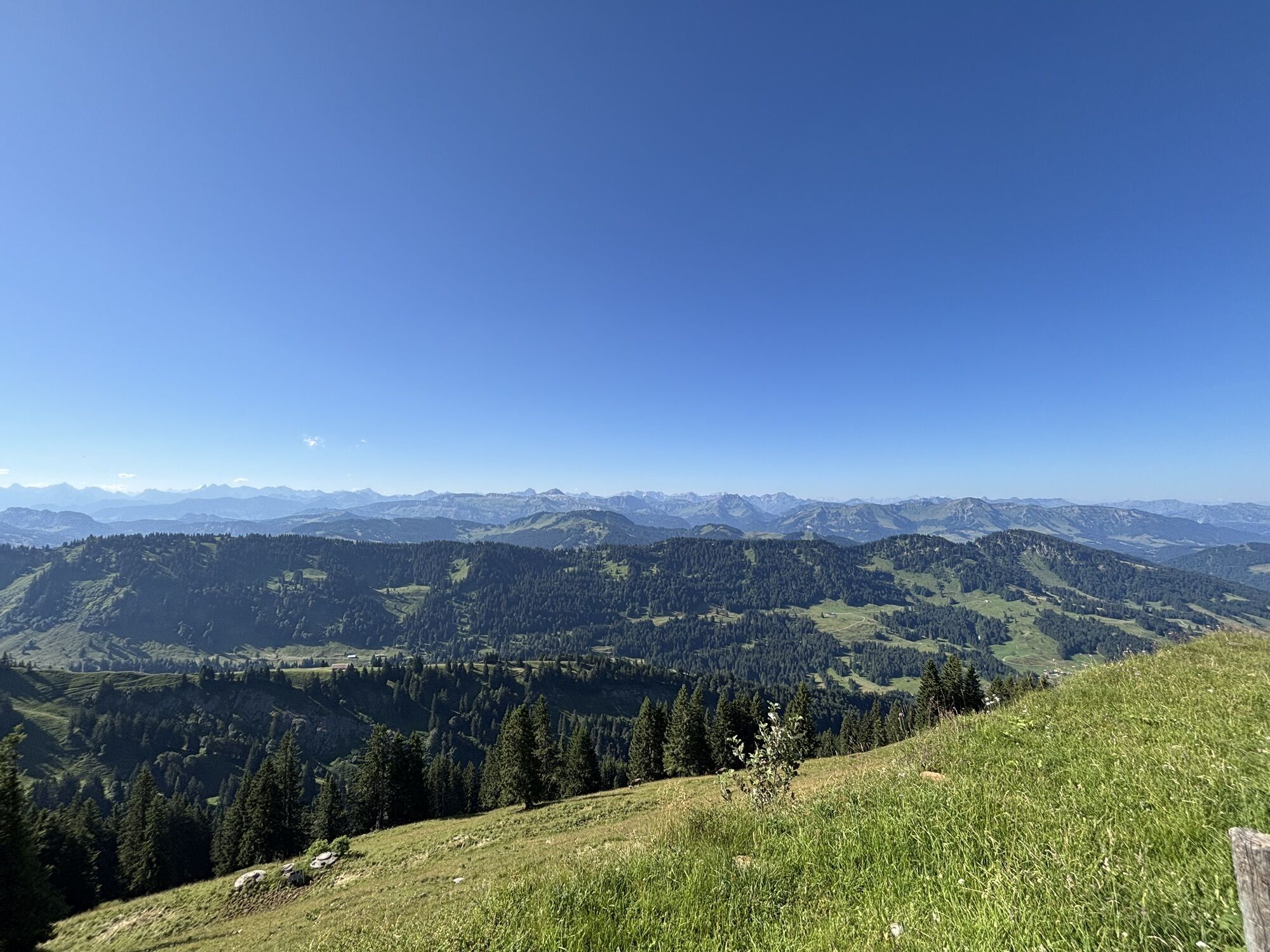
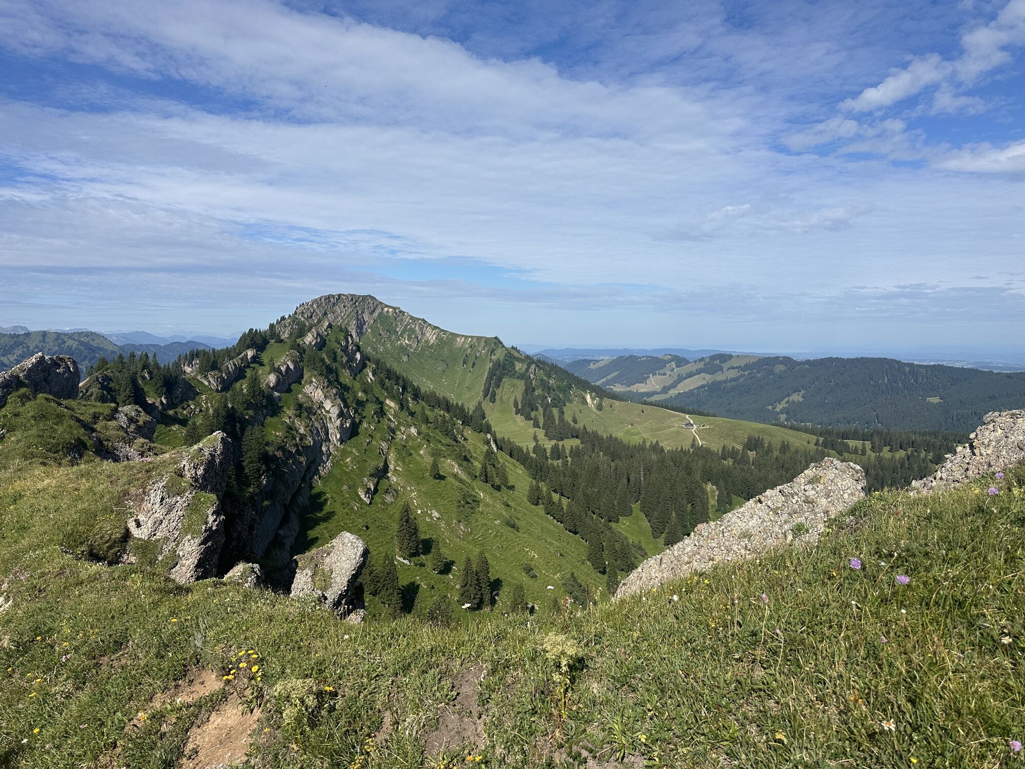
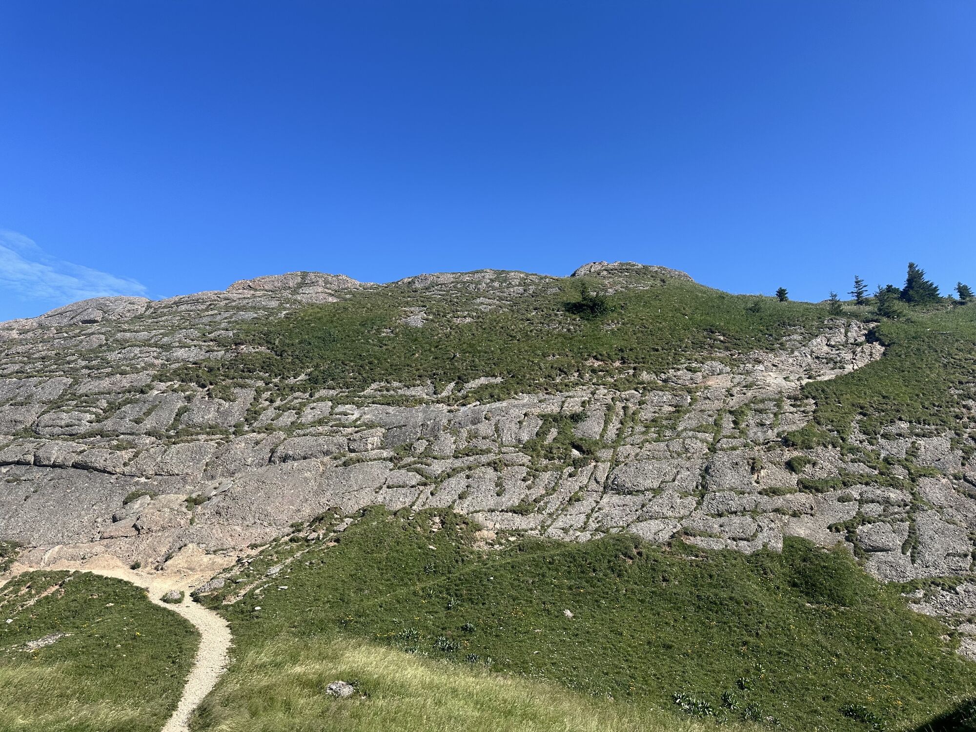
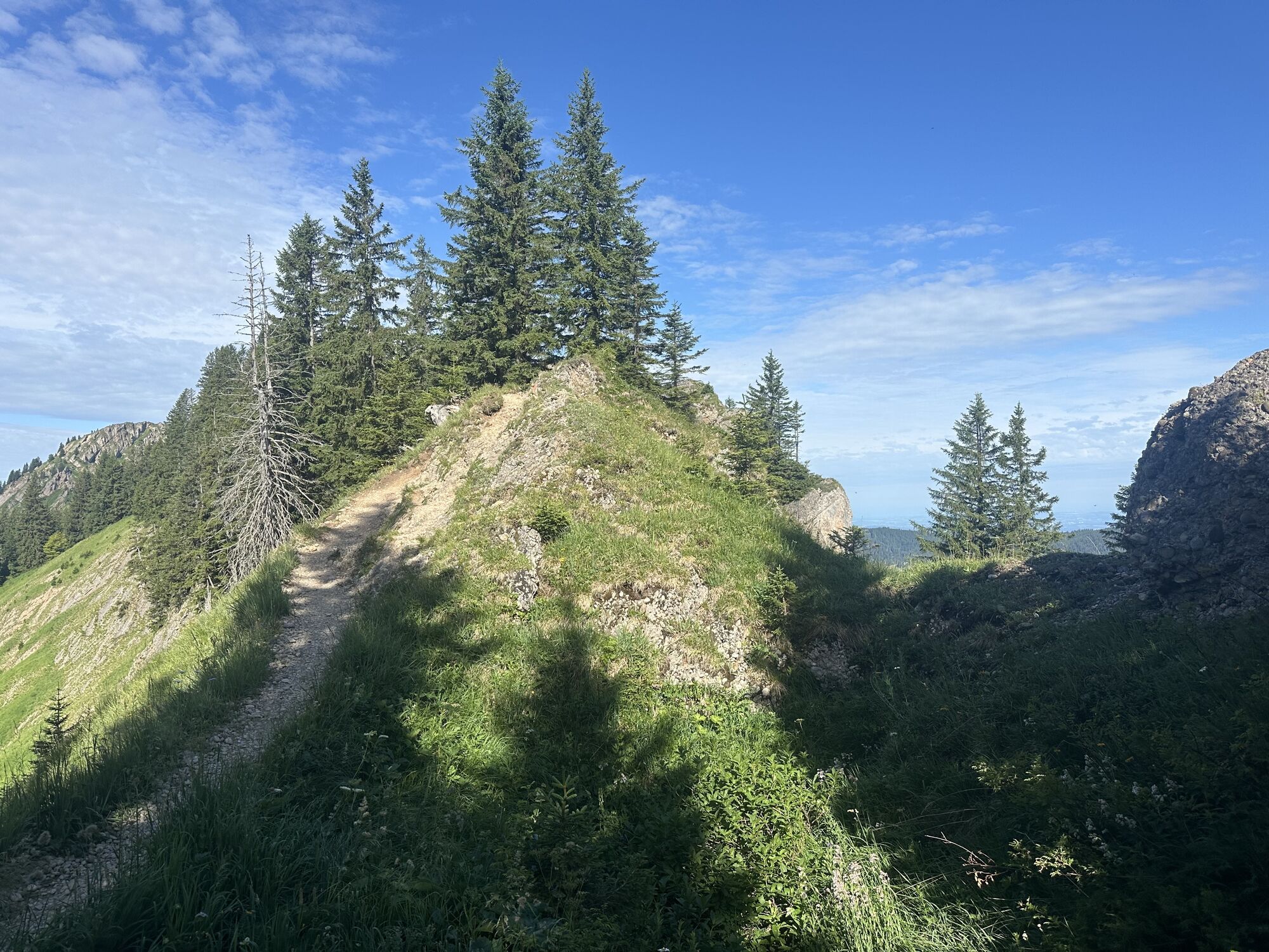
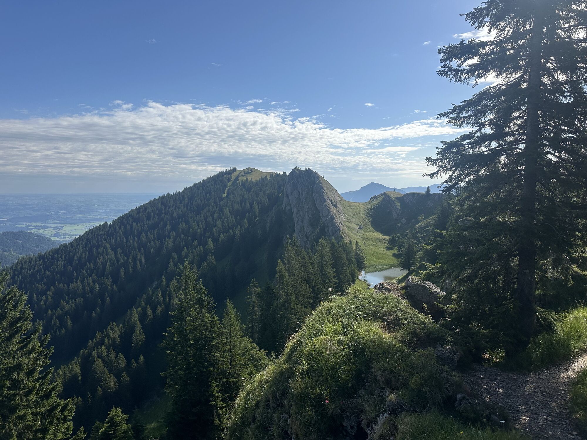
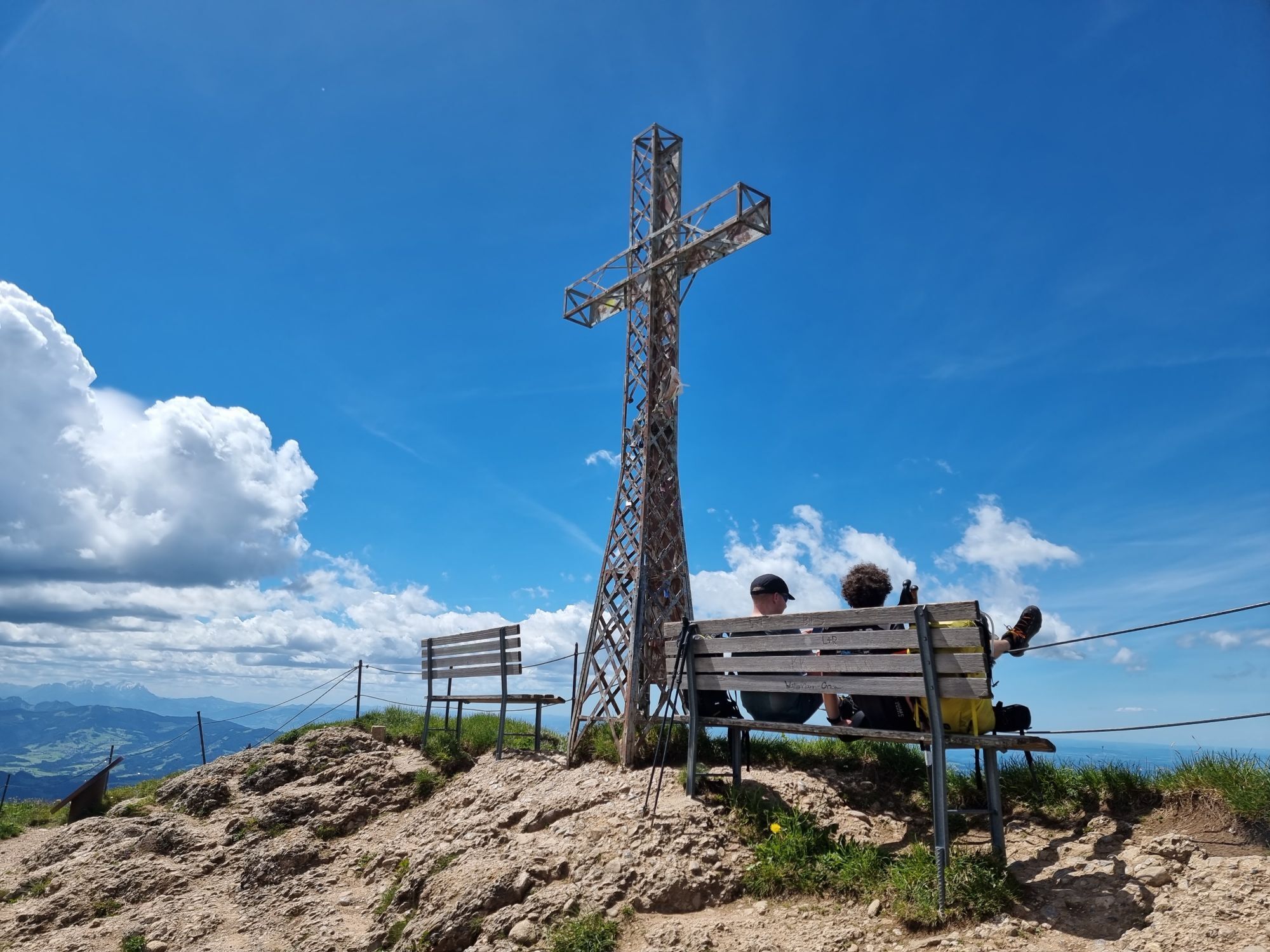
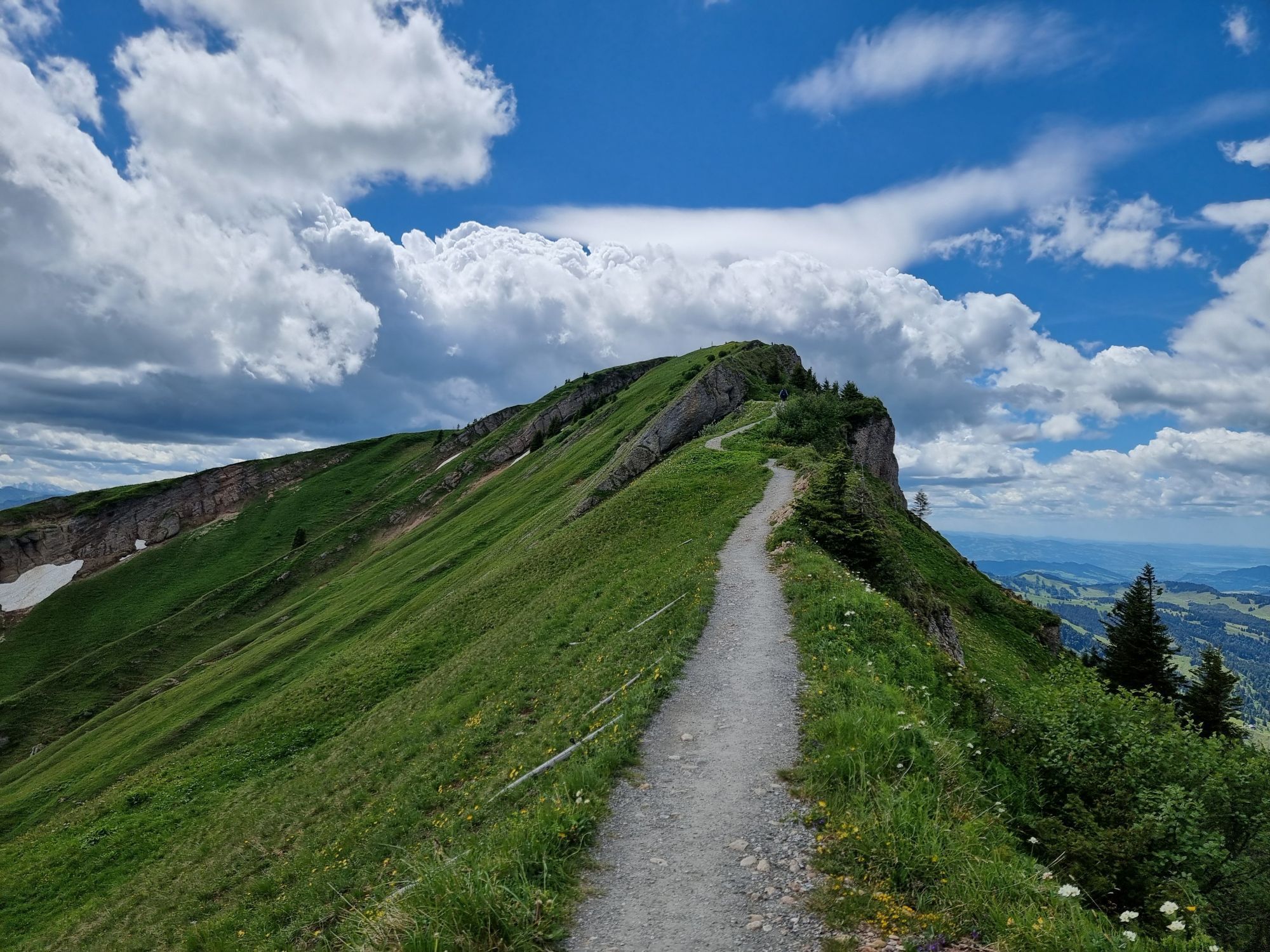
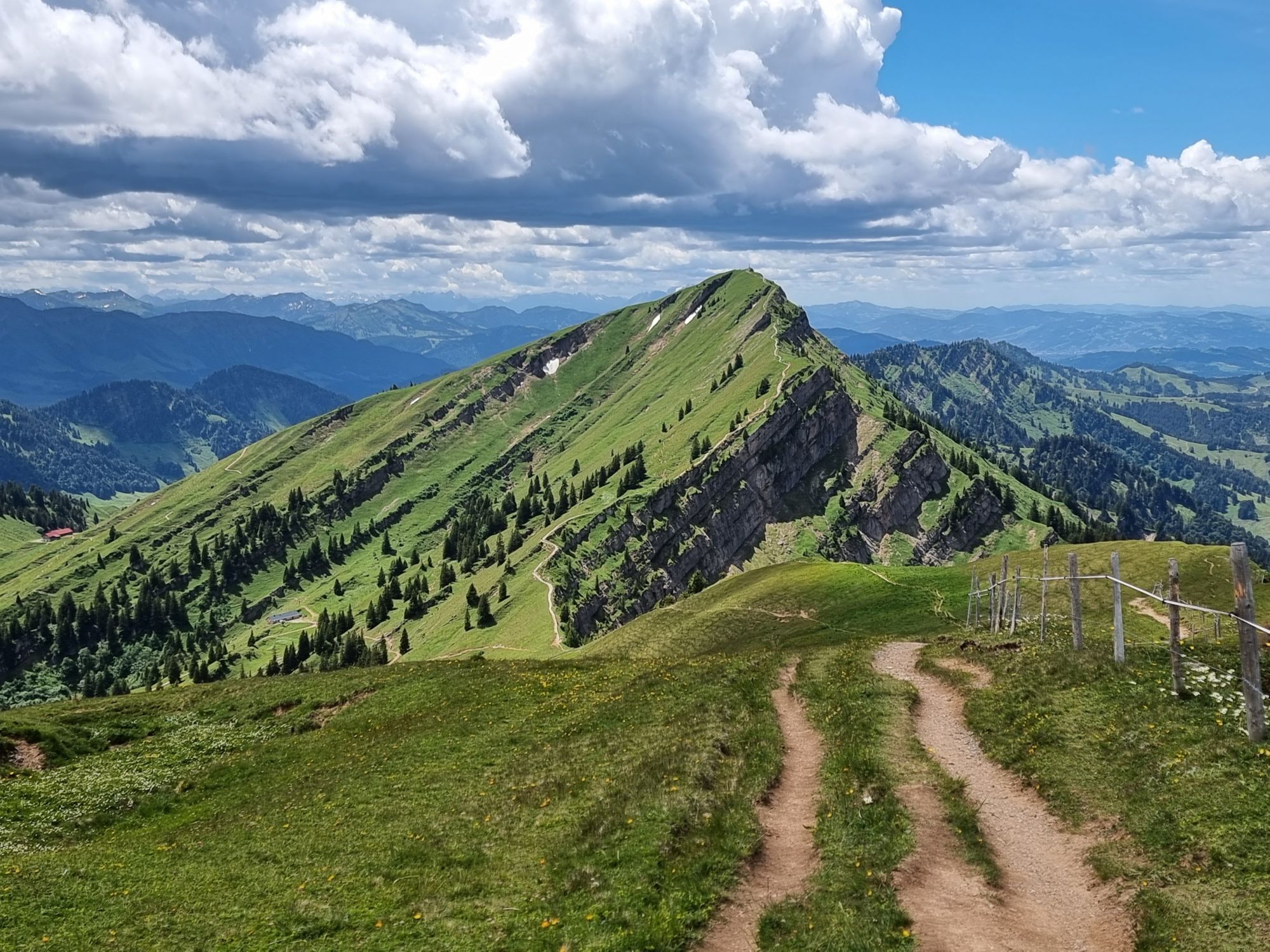
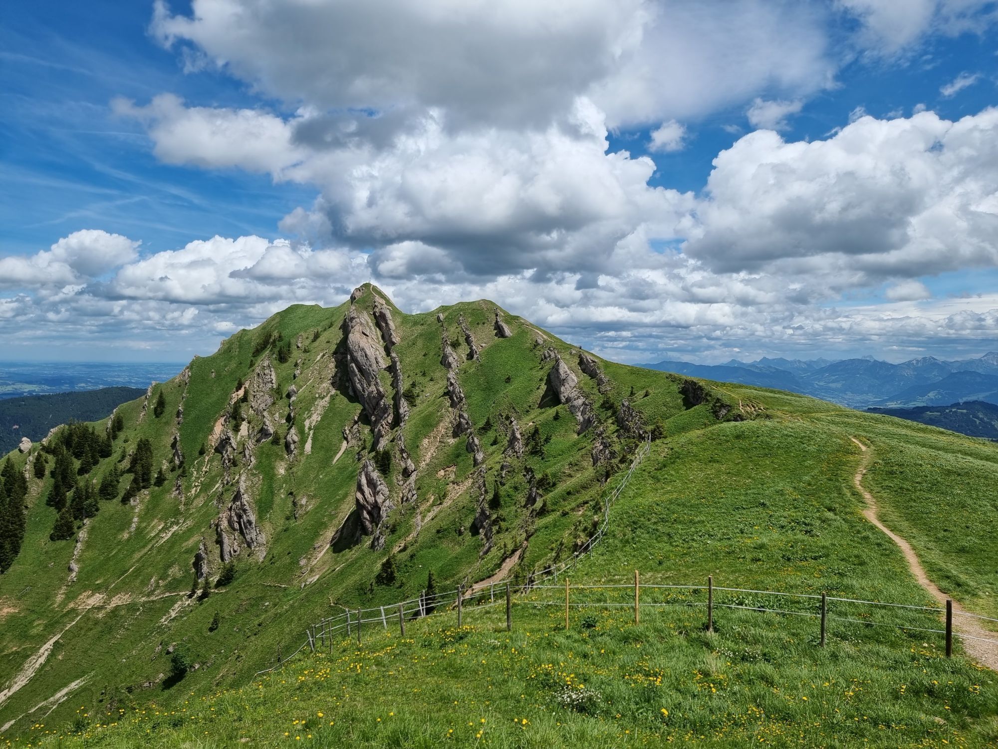
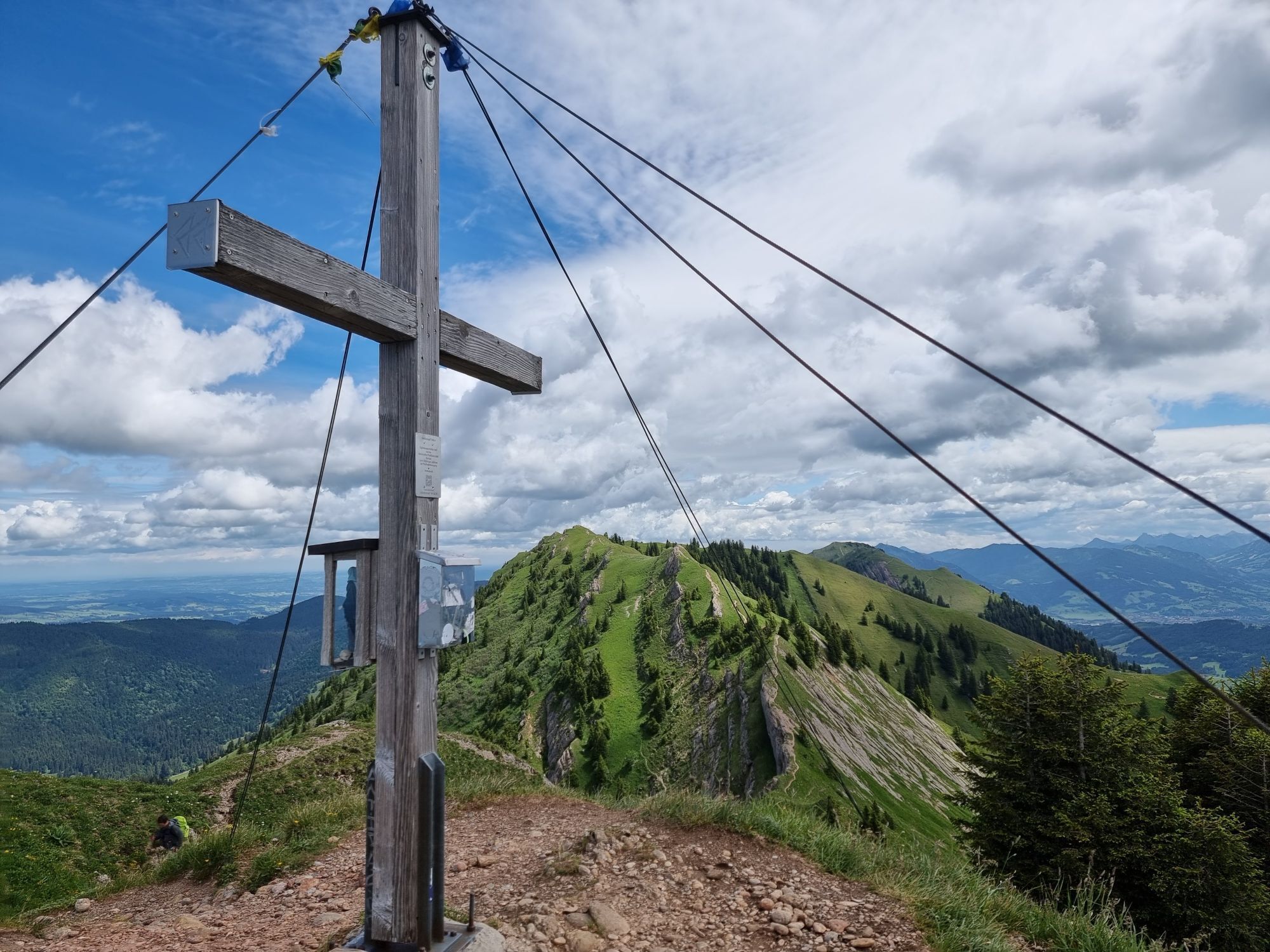
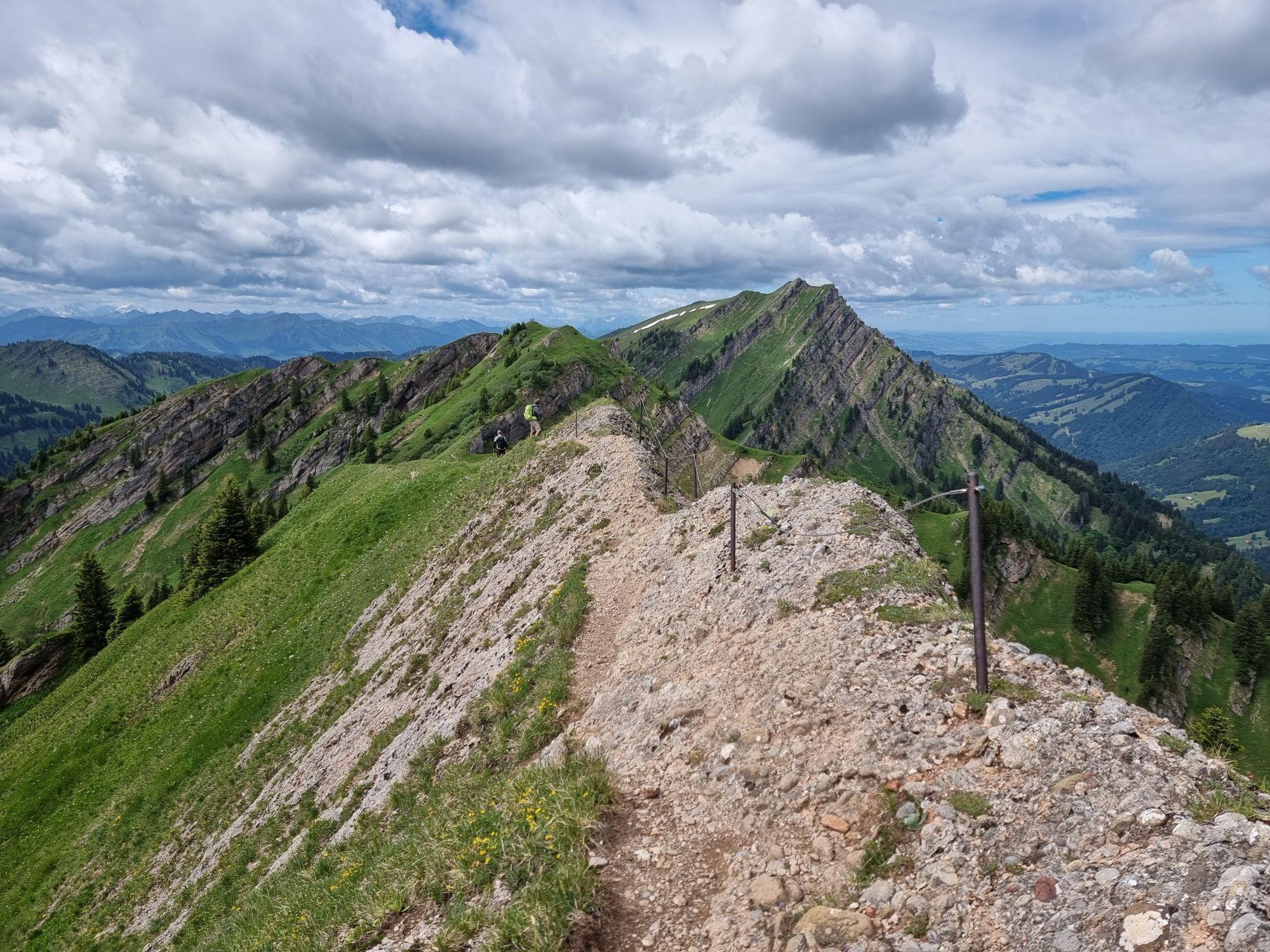
The start of the route is the valley station of the Hochgratbahn, which can also be reached by bus. From here, you can use the cable car to comfortably cover the first 850 meters of elevation and save...
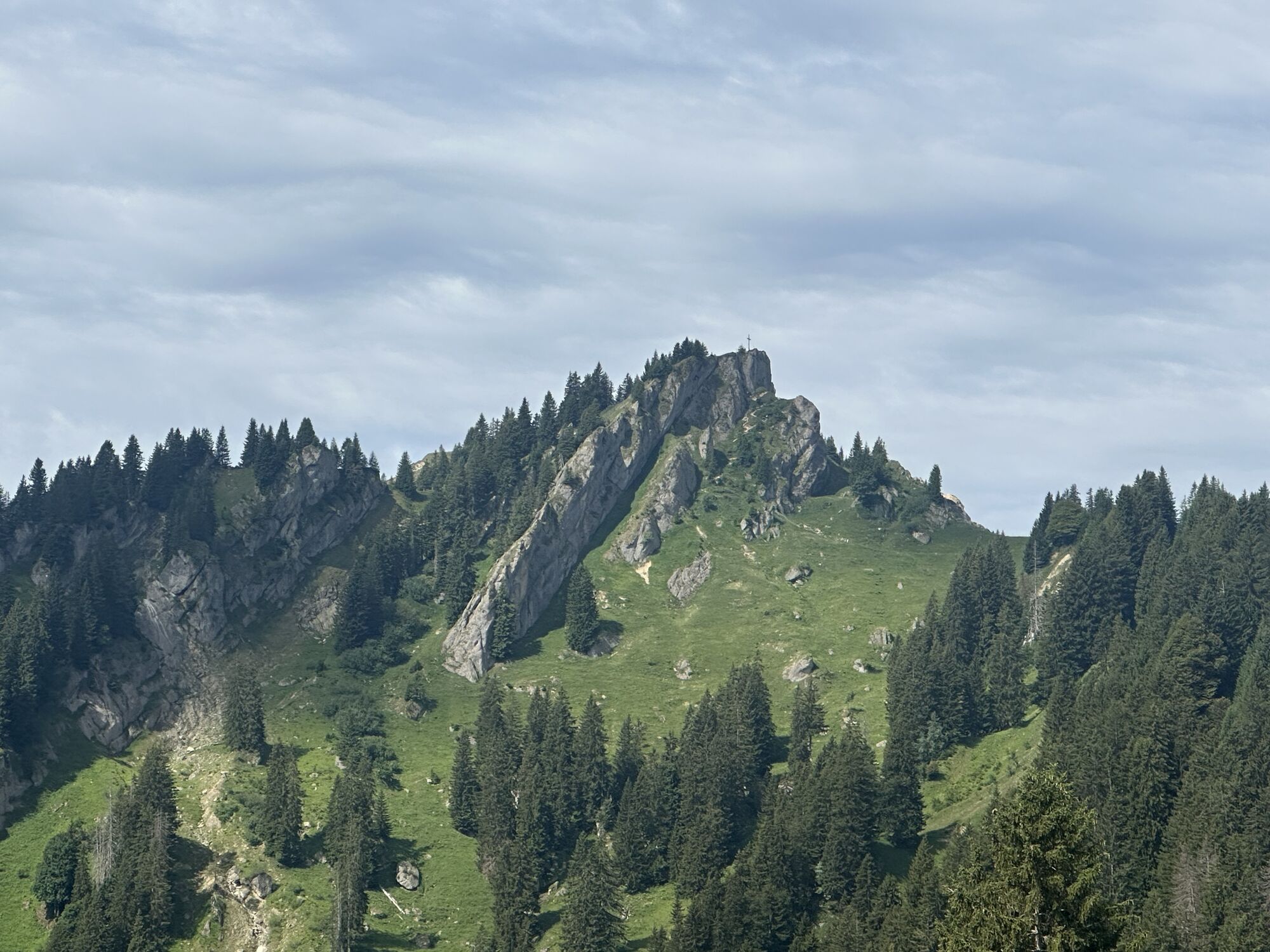
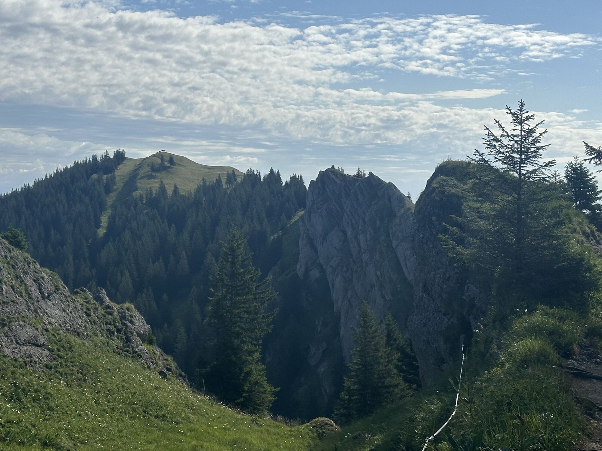
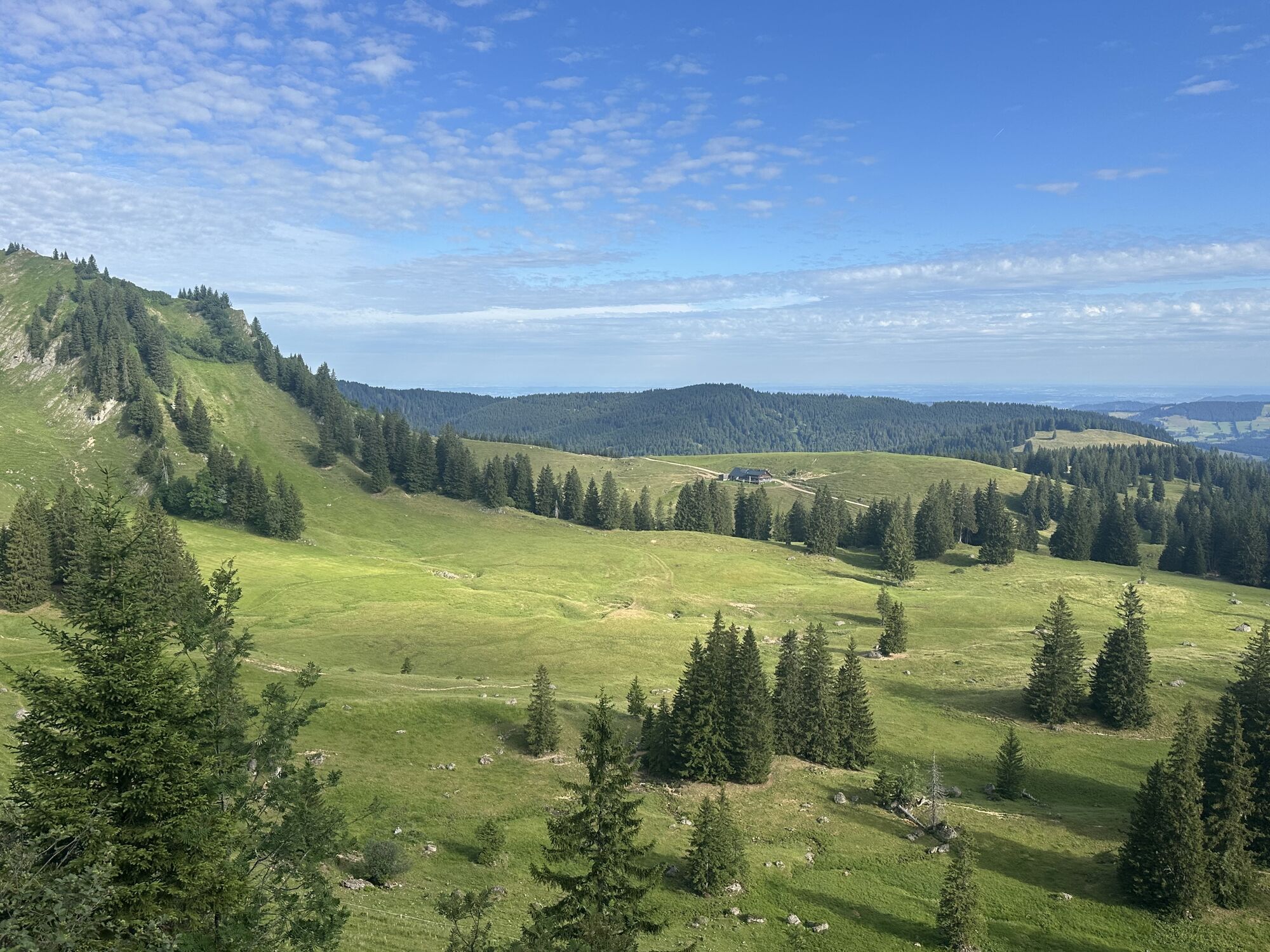
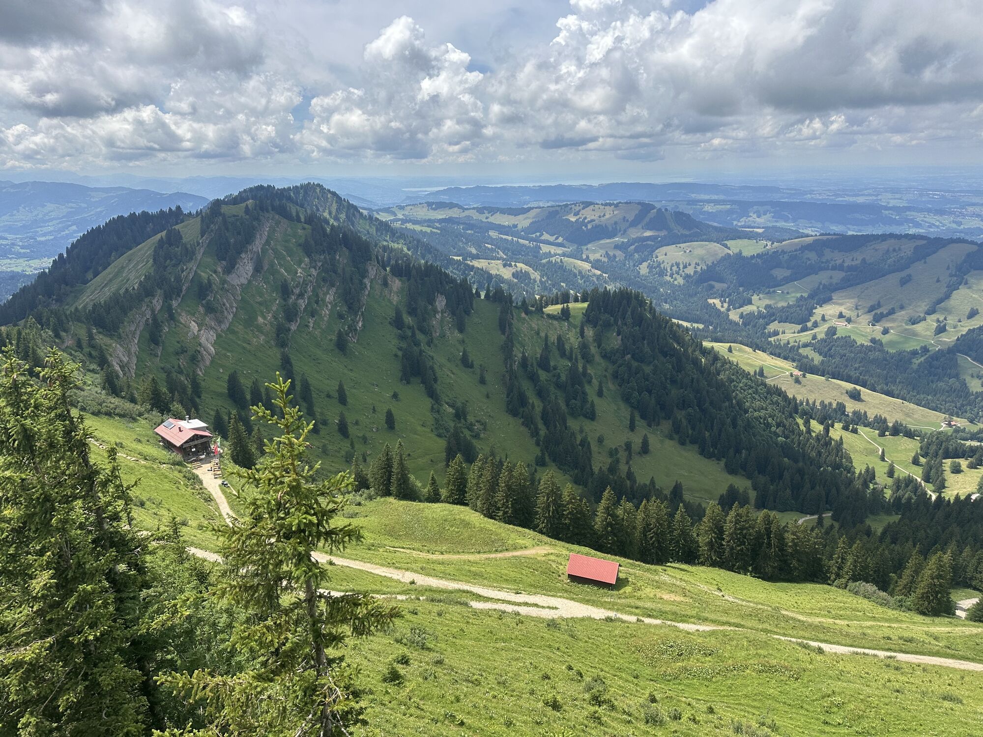
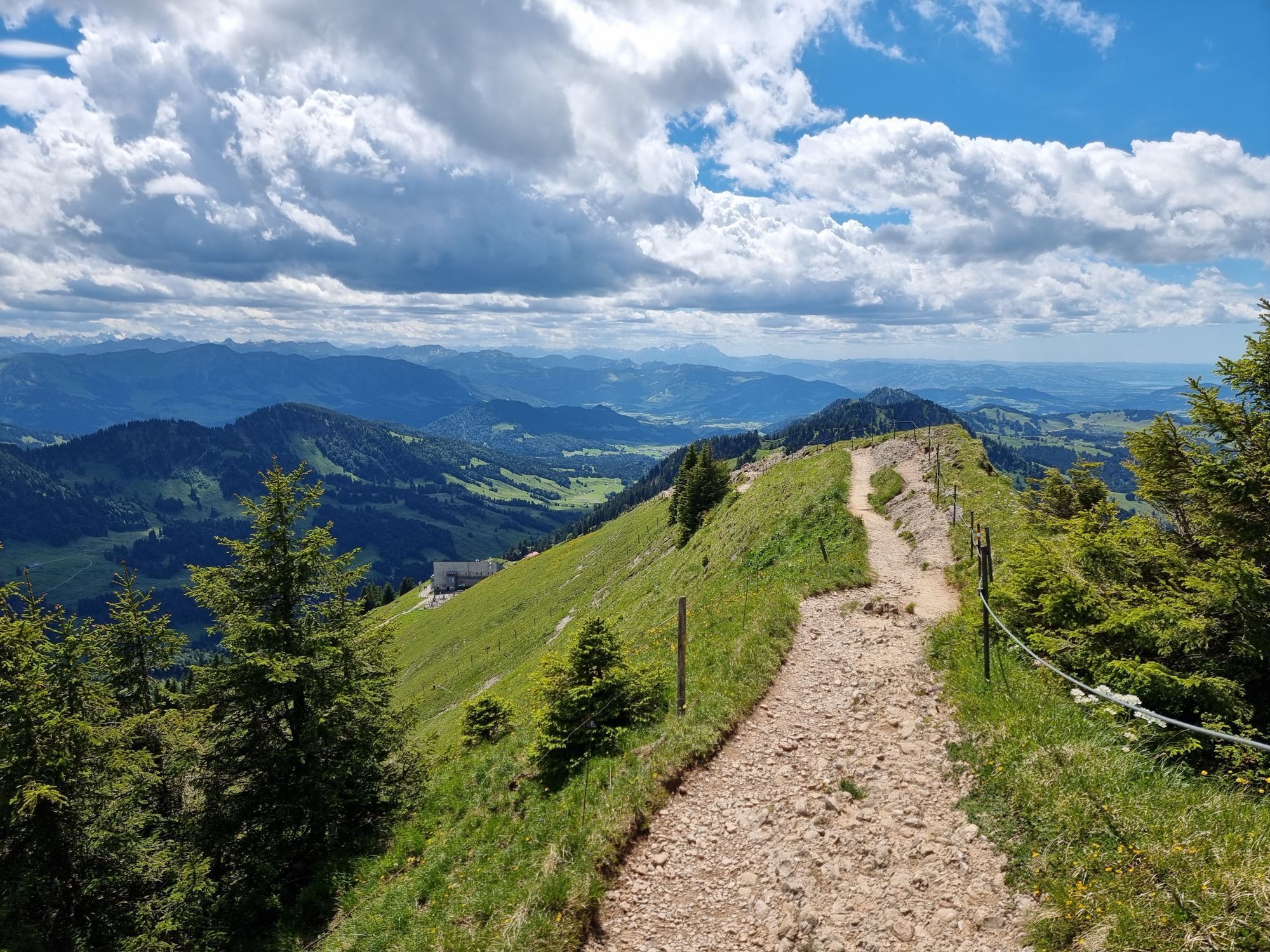
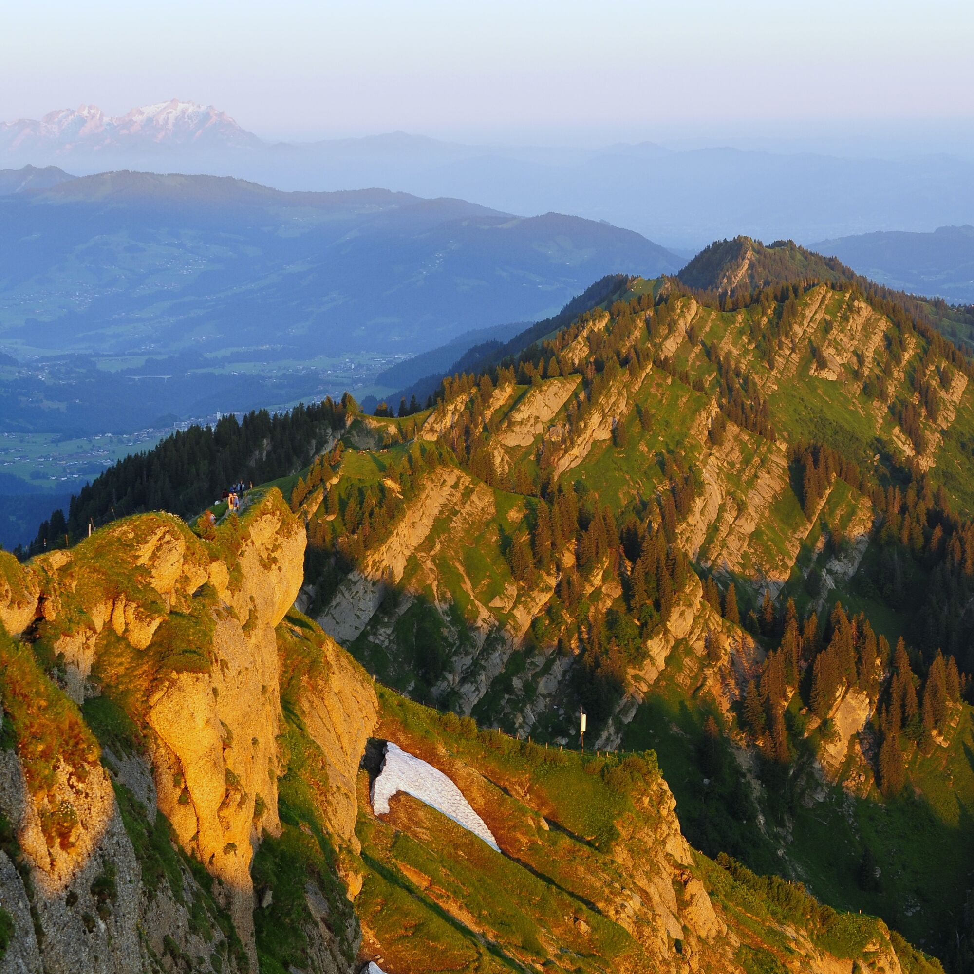
The start of the route is the valley station of the Hochgratbahn, which can also be reached by bus. From here, you can use the cable car to comfortably cover the first 850 meters of elevation and save energy for the subsequent ridge route. At the mountain station begins the panoramic route over no fewer than 8 summits: Hochgrat, Rindalphorn, Buralpkopf, Gündlekopf, Sederer, Stuiben, Steineberg, and Mittag. Note: places to stop for food and drink are only available at the starting points at Hochgrat and Mittag, so take enough provisions (especially drinks) and appropriate (change) clothing. At the end of the route, there is still a downhill of 750 meters from Mittag down to Immenstadt – or alternatively the comfortable ride with the Mittagbahn (observe opening times).


Tak
Weather-appropriate equipment and provisions for several hours without the possibility to stop for food or drink.
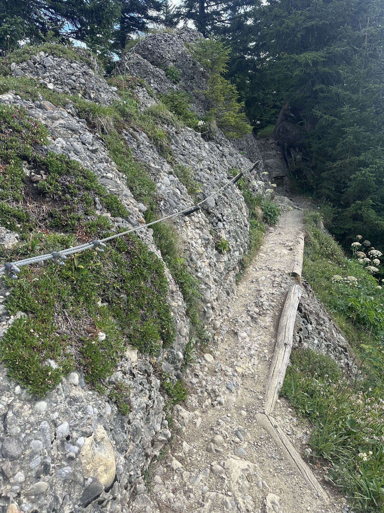
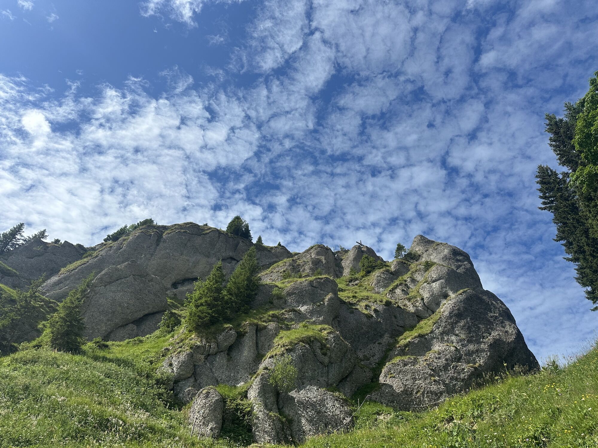
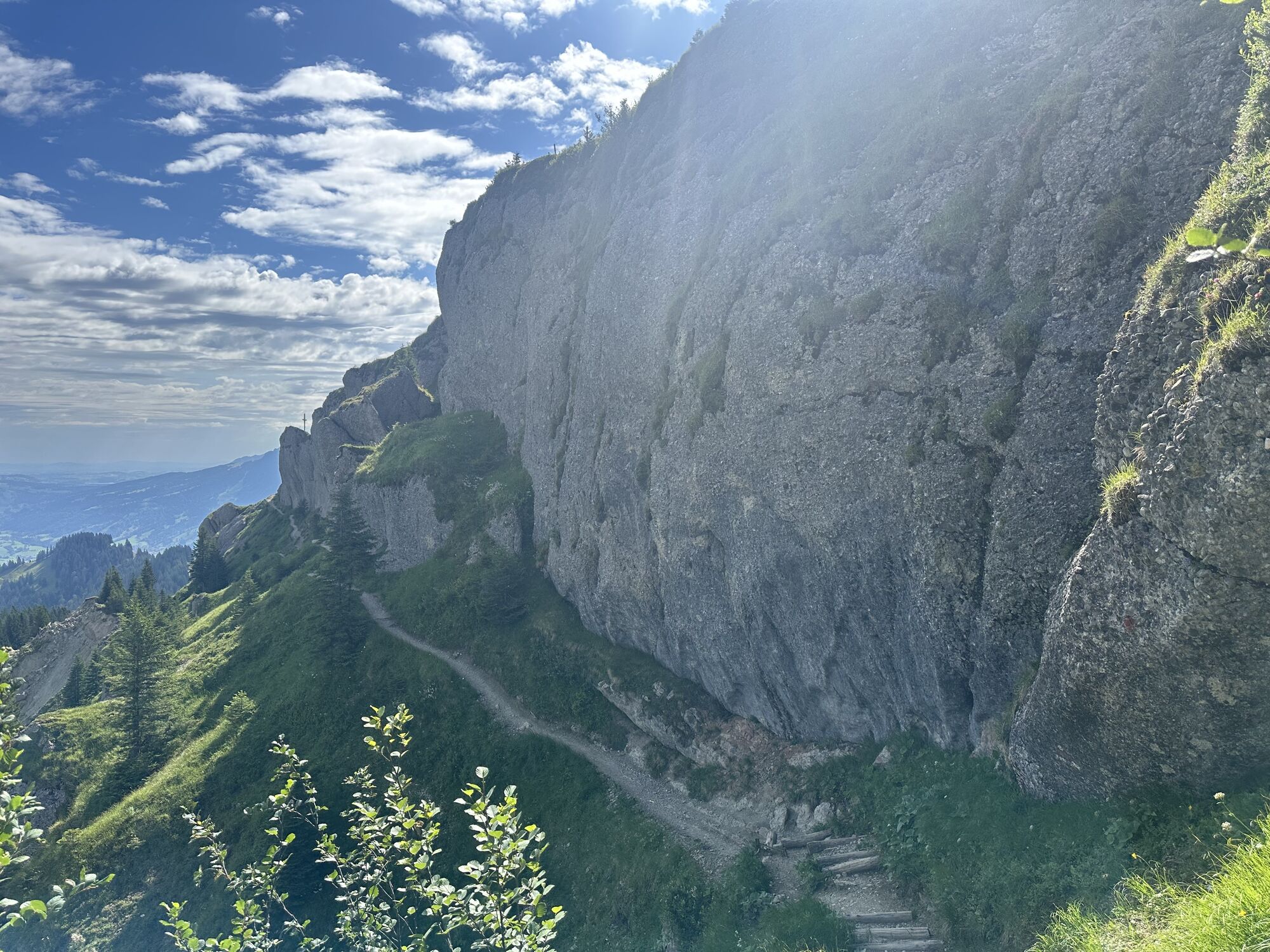
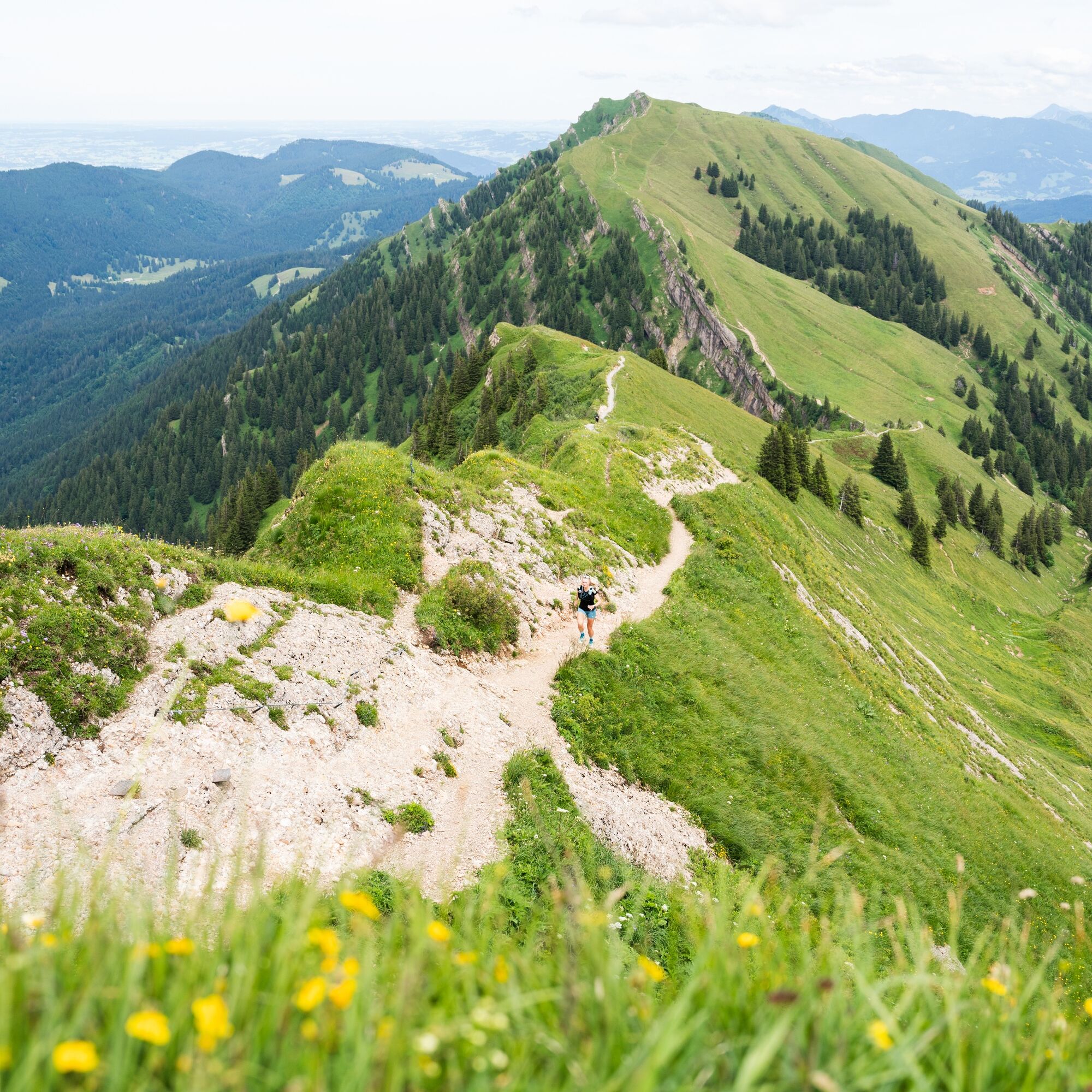
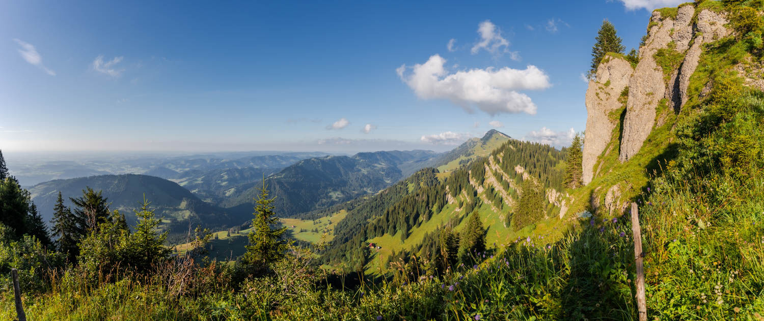
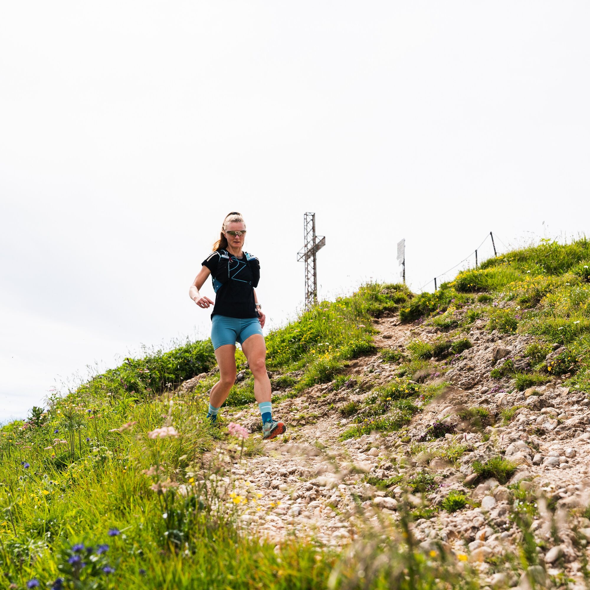
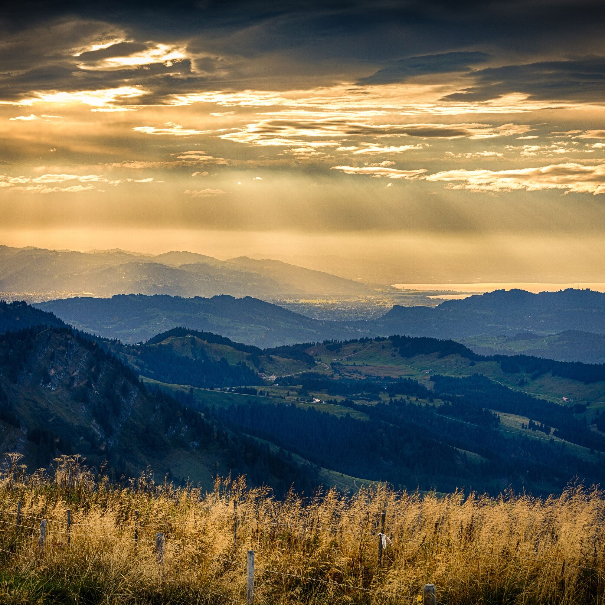
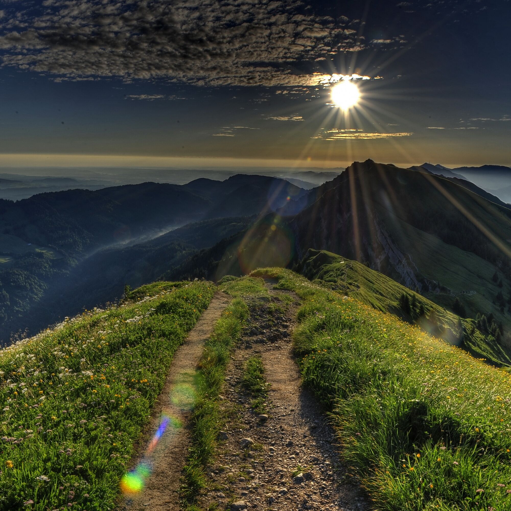
This route is reserved for experienced mountain trail runners who are sure-footed and not afraid of heights. The alpine ridges, the paths along the mountain meadows, the distinctive Nagelfluh rock, and the fantastic views in all directions make this route so special but require attentive running in alpine terrain. We recommend only doing the route when it is snow-free.
Get weather information in advance: www.oberstaufen.de/wetter
Stay on the marked paths.
112 Euro emergency number or emergency app SOS-EU-ALP
Information about buses and trains: www.oberstaufen.de/bus-parken
www.mittagbahn.de
Kamery internetowe z trasy
-
Hochgratbahn Bergstation
-
Oberstaufen - Biohotel Schratt
-
Oberstaufen - Biohotel Schratt
-
Segelclub Alpsee
-
Gschwendlift 1 Bergstation
-
Balderschwang - Schelpenbahn
-
Bergstation Ofterschwang
-
Talstation Ossi-Reichert Bahn
-
Mittaggipfel
-
Sonthofen - Panzer & Braun Tiefbau
-
Balderschwang
-
Alpe Hohenschwand
-
Alpe Birkach
-
Imberghaus
-
Balderschwang - Siplinger Suites
-
Ofterschwang - Allgäuer Berghof
-
Schelpenalp Talstation
-
Blaichach - Gunzesried
-
Alpsee Bergwelt
-
Alpsee Bergwelt
-
Alpsee Bergwelt - Bärenfalle
-
Alpe Birkach - Nagelfluh
-
Allgäuer Berghof - Erlebnishof
Uzyskaj wgląd
Zawsze na żywo z ponad 9 500 kamer internetowych. bergfex Jako użytkownik Pro, możesz teraz zobaczyć odpowiednie kamery internetowe dla wielu wycieczek w aplikacji wycieczki od. Pozwala to na bezpośredni podgląd aktualnych warunków.
Aktywności na trasie
-

Blaichach, Bayern/Deutschland
15.08.2026 – Wędrówka -
Oberstaufen, Bavaria/Germany
11.08.2026 – Wędrówka -
Blaichach, Bayern/Deutschland
22.07.2026 – Wędrówka -

Immenstadt im Allgäu, Bayern/Deutschland
02.07.2026 – Wędrówka -

Nagelfluhkette <->
09.05.2026 – Wędrówka -
Oberstaufen, Schwaben/Deutschland
20.09.2025 – Wędrówka -

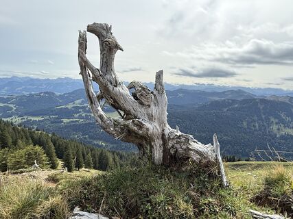
Nagelfluhkette, Immenstadt - Staufner Haus, Bayern/Deutschland
13.09.2025 – Wycieczki górskie
Popularne wycieczki w okolicy
-
4,5
Steibis - Buchenegger Waterfalls
średniWędrówka 6,47 km -
3,9
Klassikertour: Auf den Grünten
ciężkiWędrówka 8,50 km -
4,1
Winter circular hike through the Breitachklamm gorge
średniWędrówka zimą 5,66 km -
4,4
3-Gipfel-Tour bei Sonthofen im Allgäu
średniWędrówka 11,4 km -
4,4
Wanderung auf den grünten
średniWędrówka 8,31 km -
4,3
Starzlachklamm
średniWędrówka 5,30 km -
4,7
Rindalphorn und Hochgrat
średniWędrówka 15,6 km -
4,6
Wanderung auf den Sonnenkopf
średniWędrówka 6,60 km -
5,0
Nagelfluh ridge route Hochgrat - Mittag
ciężkiWędrówka 14,0 km -
4,9
Immenstädter Horn
światłoWędrówka 9,35 km
Wędrówki i tropienie


Nie przegap ofert i inspiracji na następne wakacje
Twój adres e-mail została dodana do listy mailingowej.





