







Kapellenweg 8

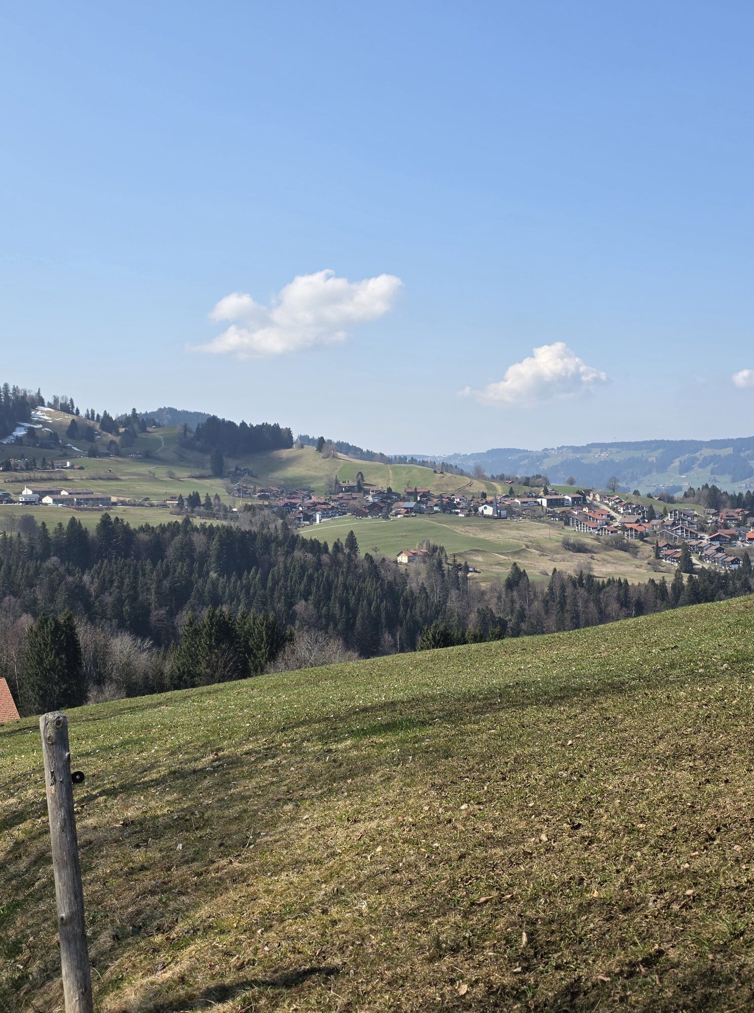
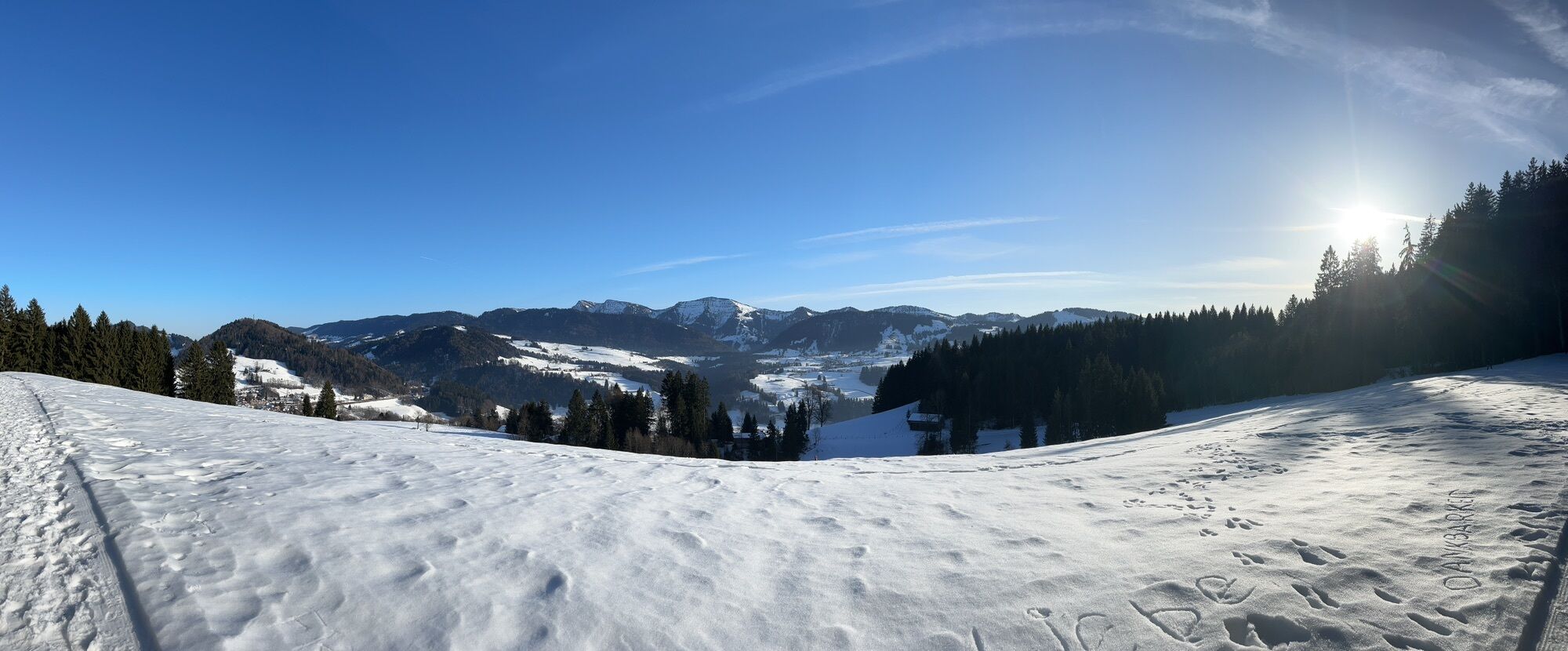
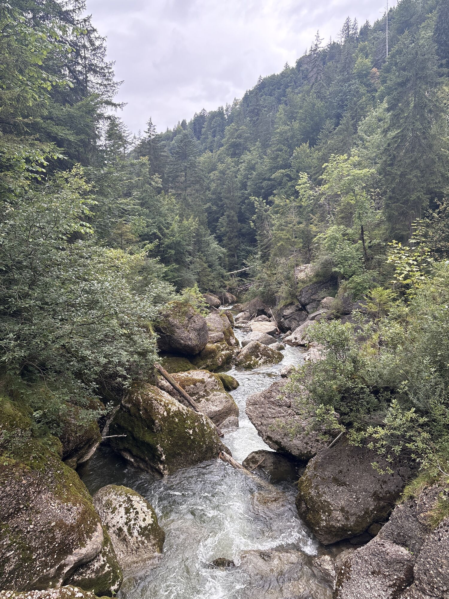
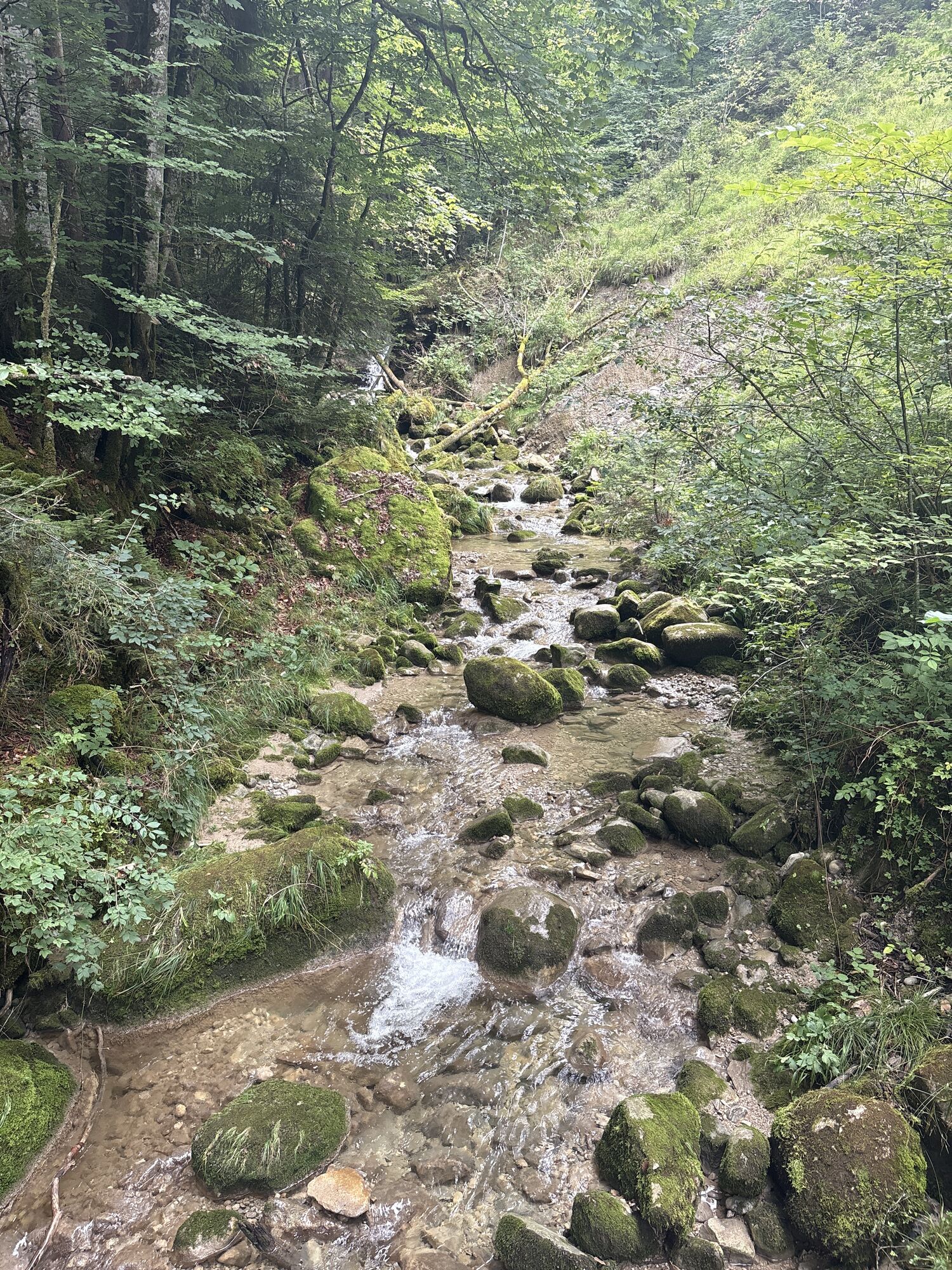
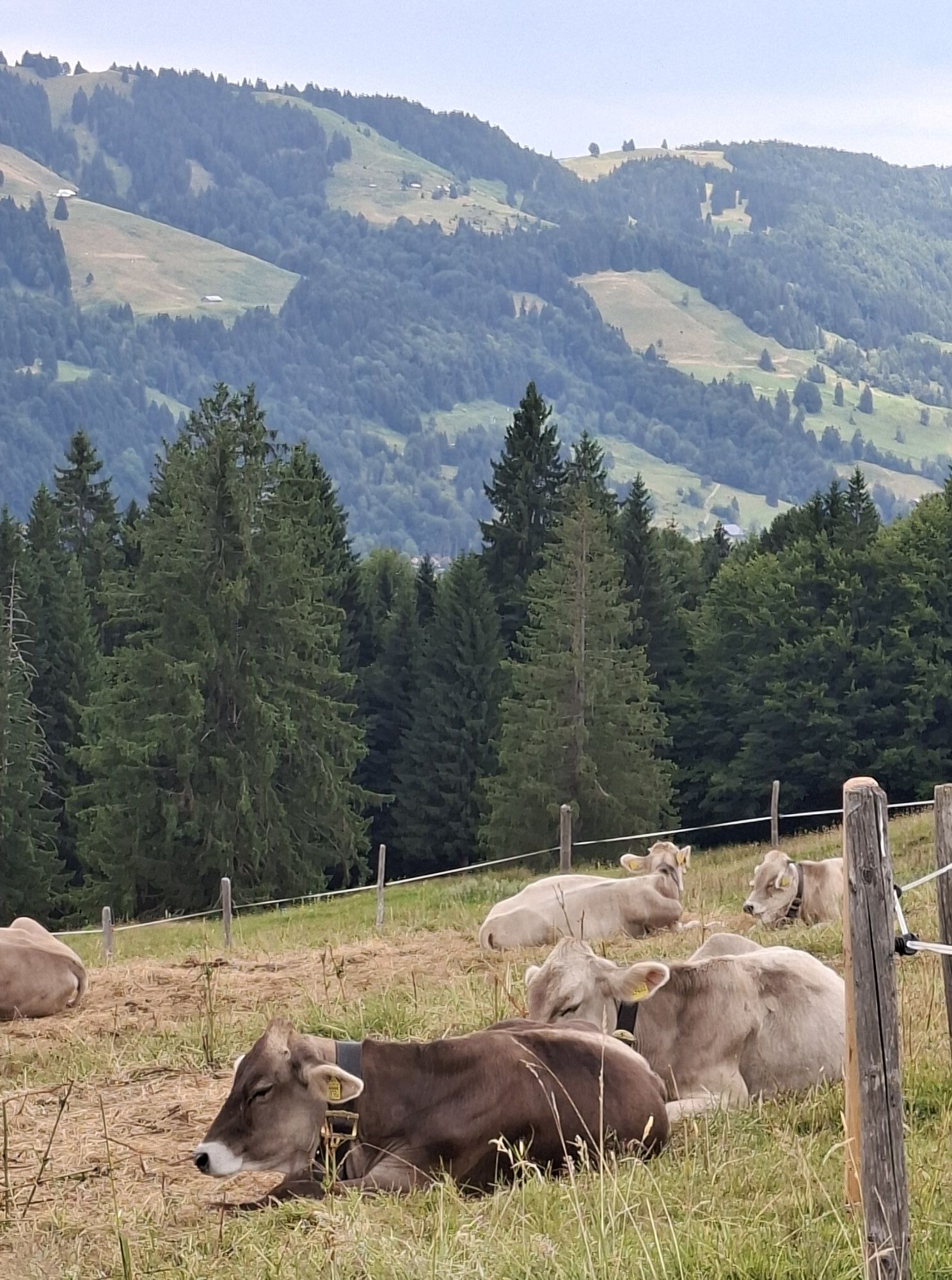
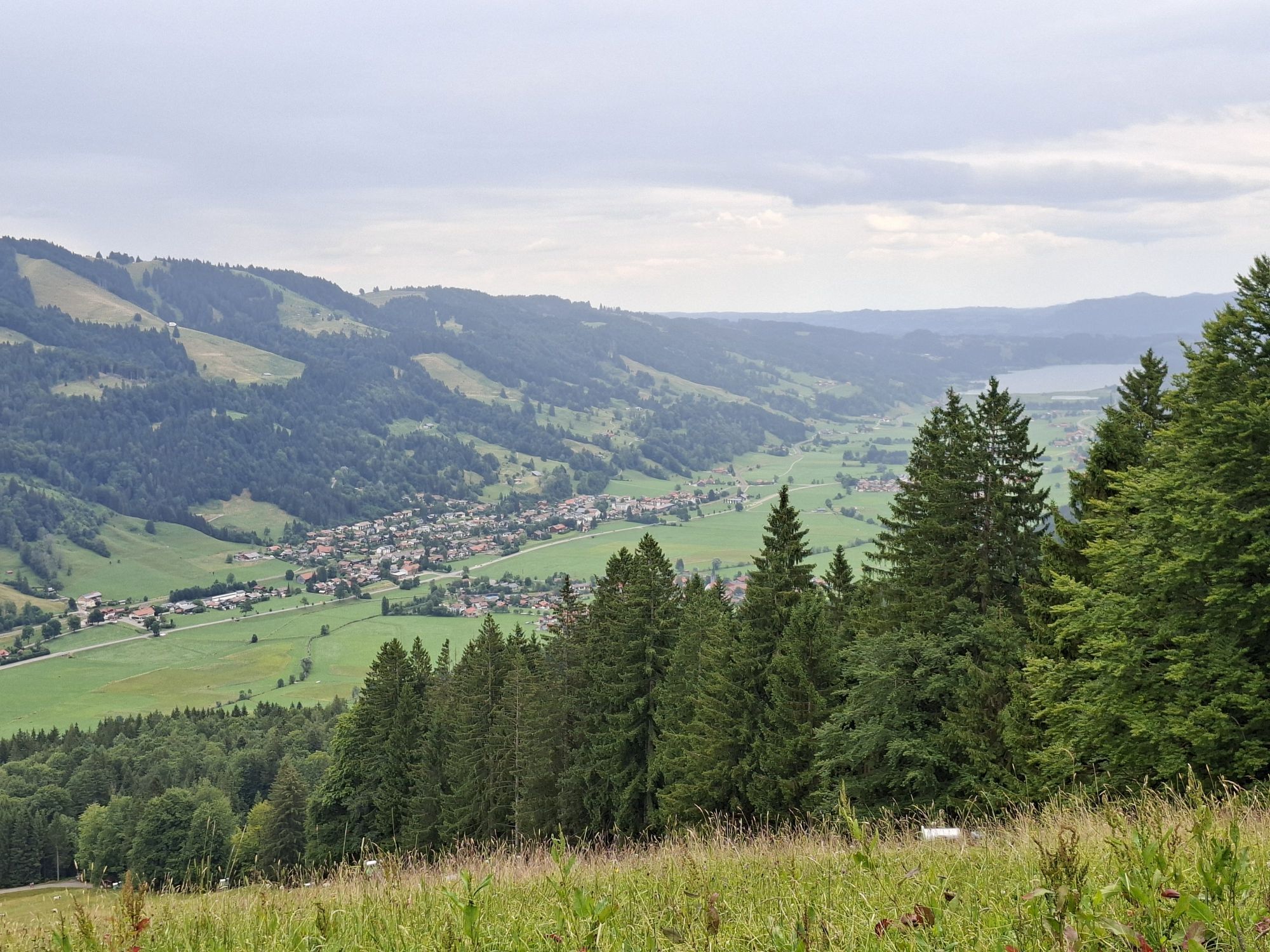
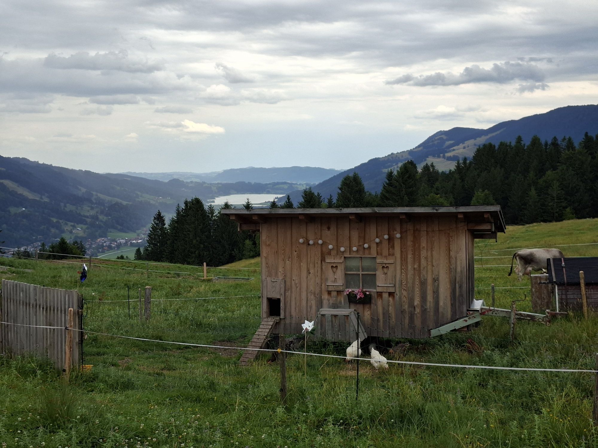
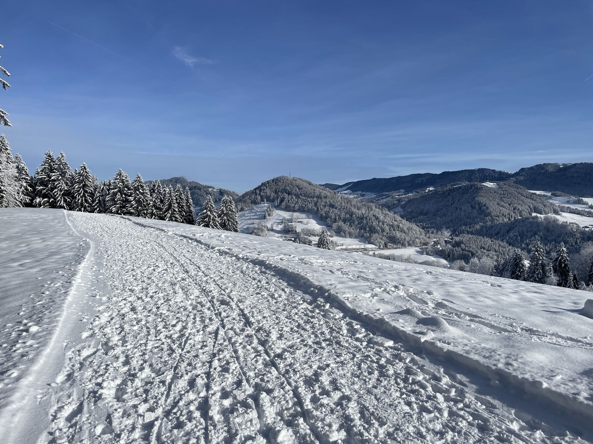
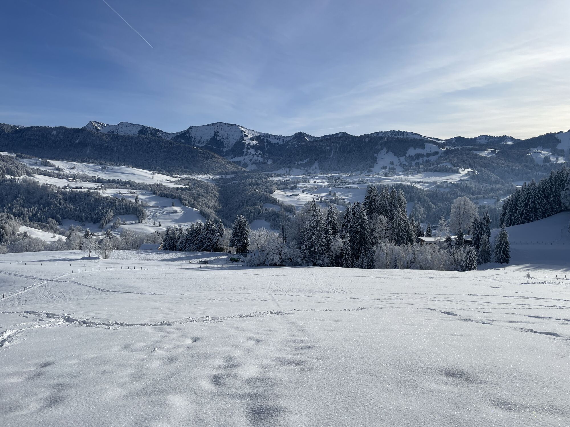
We leave the station heading west along Bahnhofstraße, then follow Hugo-von-Königsegg-Straße past the Catholic parish church and continue onto Montfortweg to the Protestant church and the senior center.
We walk...
We leave the station heading west along Bahnhofstraße, then follow Hugo-von-Königsegg-Straße past the Catholic parish church and continue onto Montfortweg to the Protestant church and the senior center.
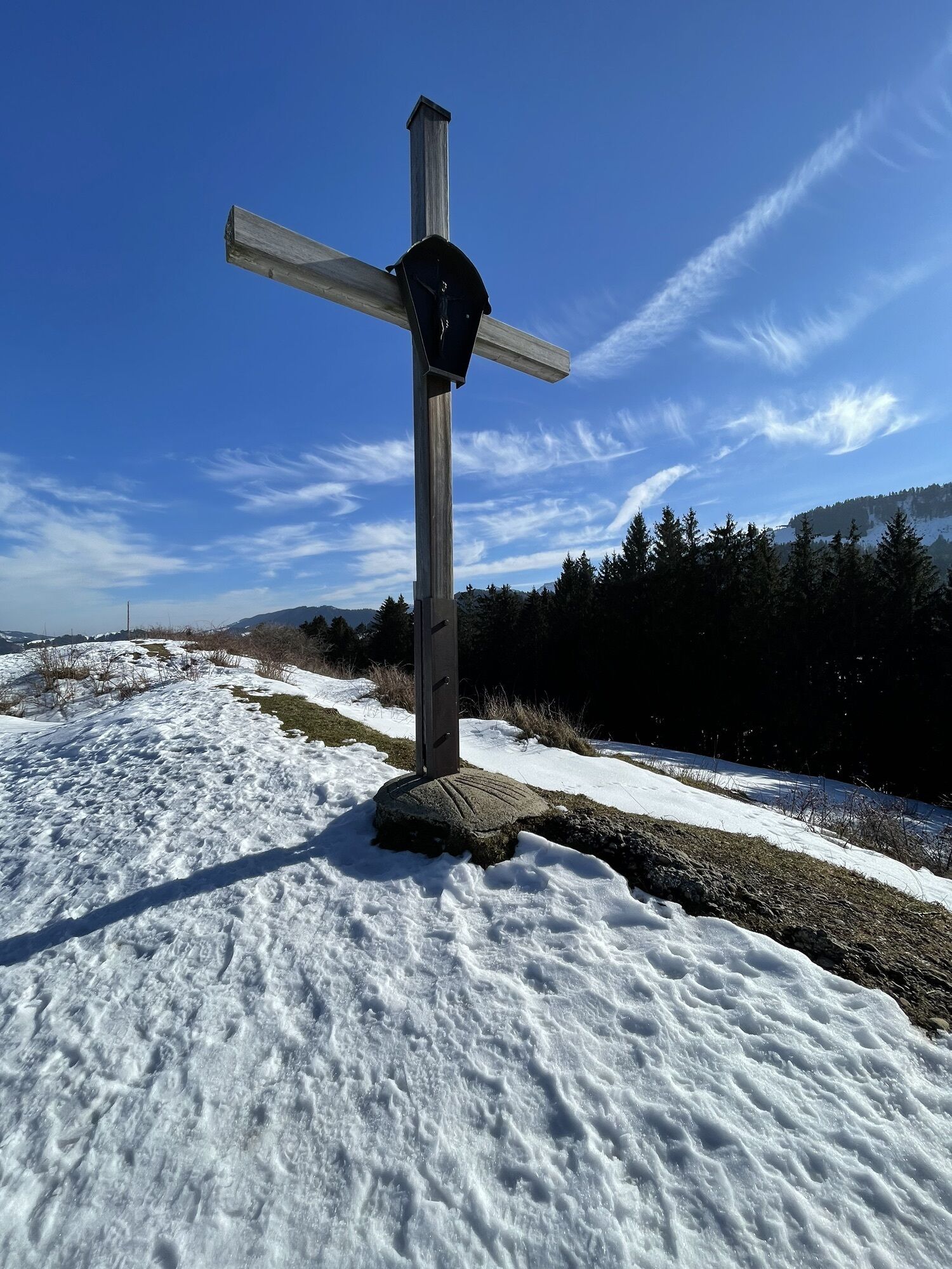
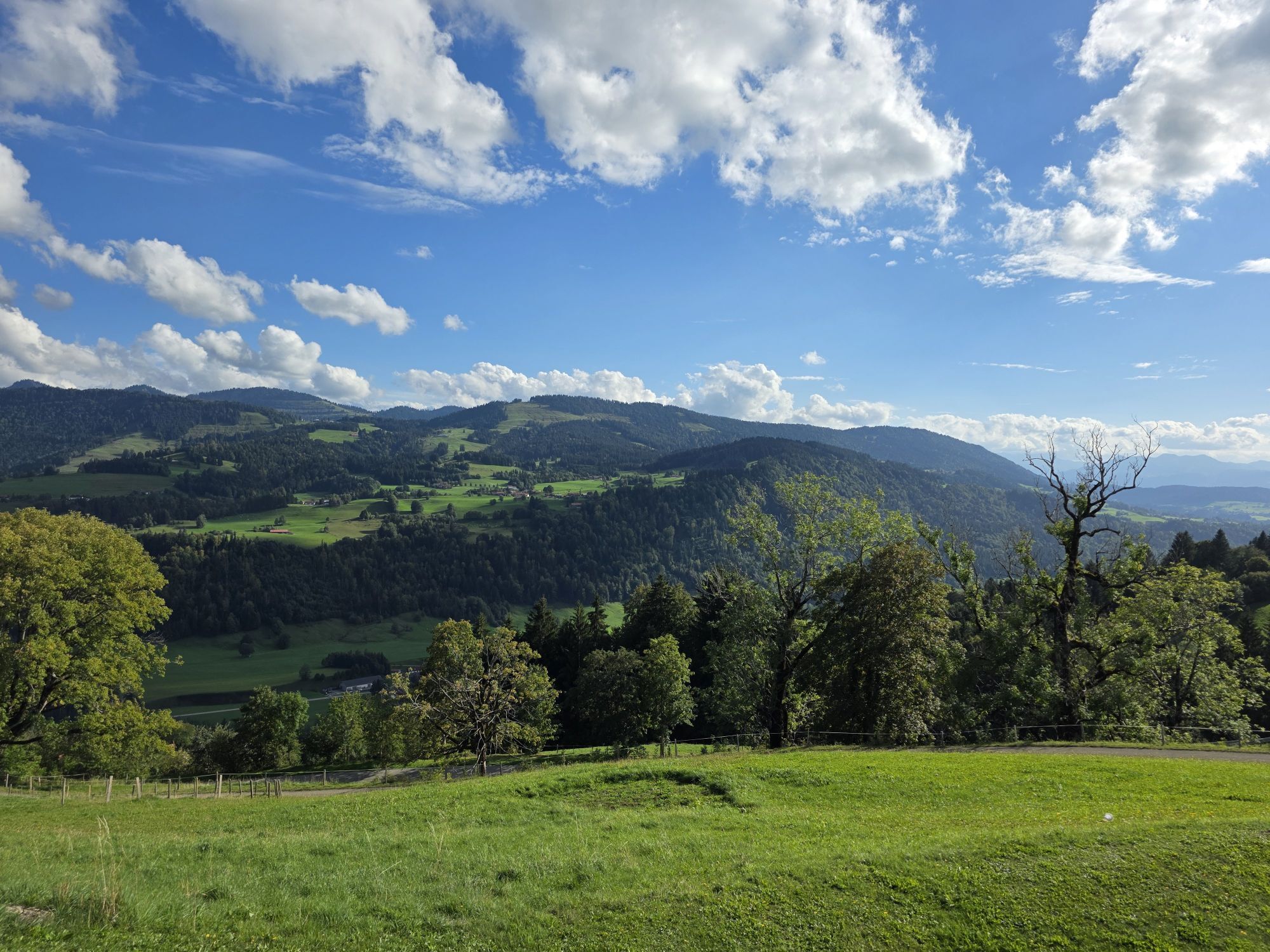
We walk through the green area and ascend past the Ölberg Chapel via the Way of the Cross to the street. We follow the street to the right up to the signposted junction left onto the Kapf. Then it continues to Berg and Laufenegg with the chapel located on the right along the path. We go under the B 308 and continue westward via Döbelisried, following the signs downhill to Eibele.
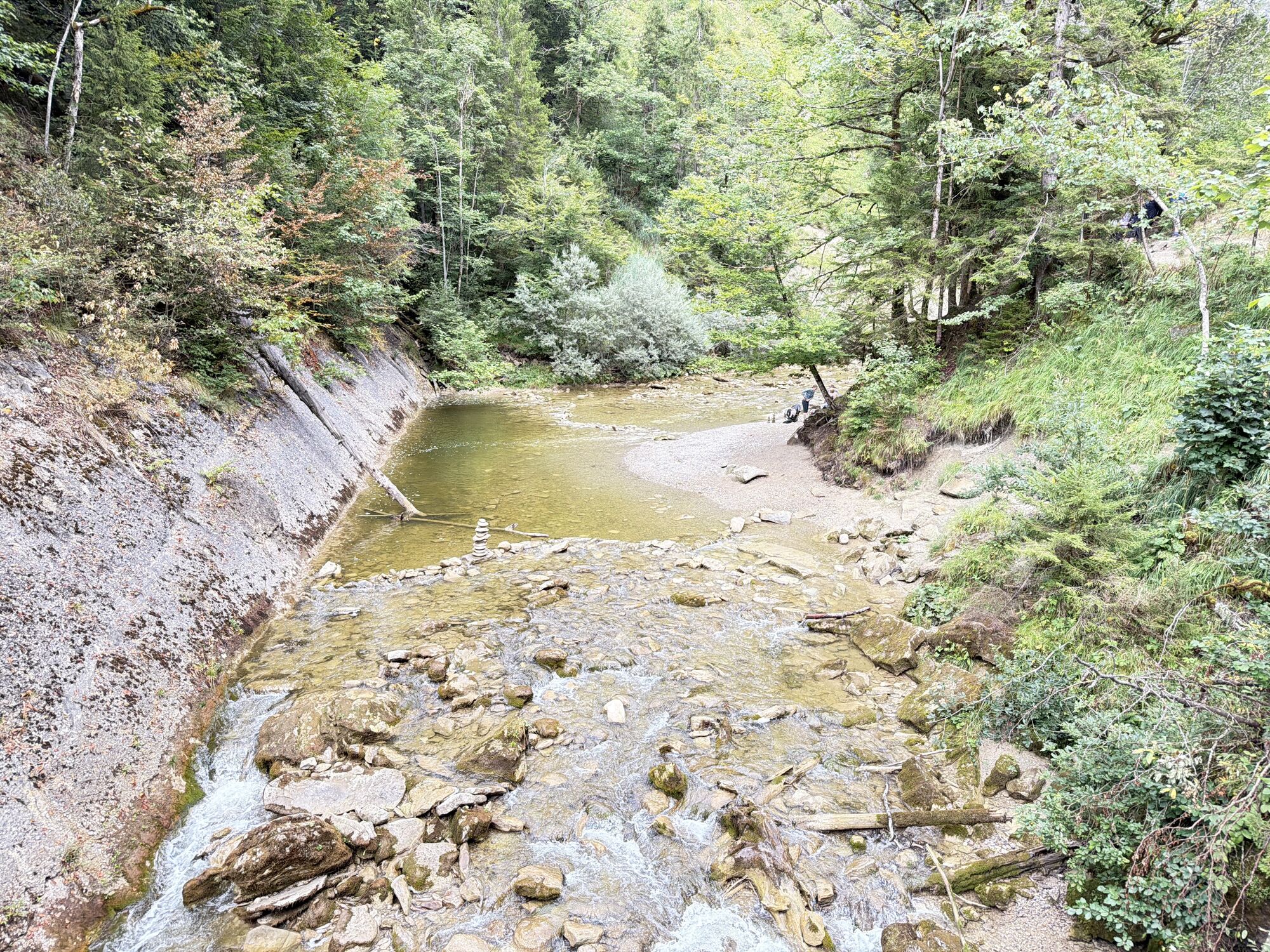
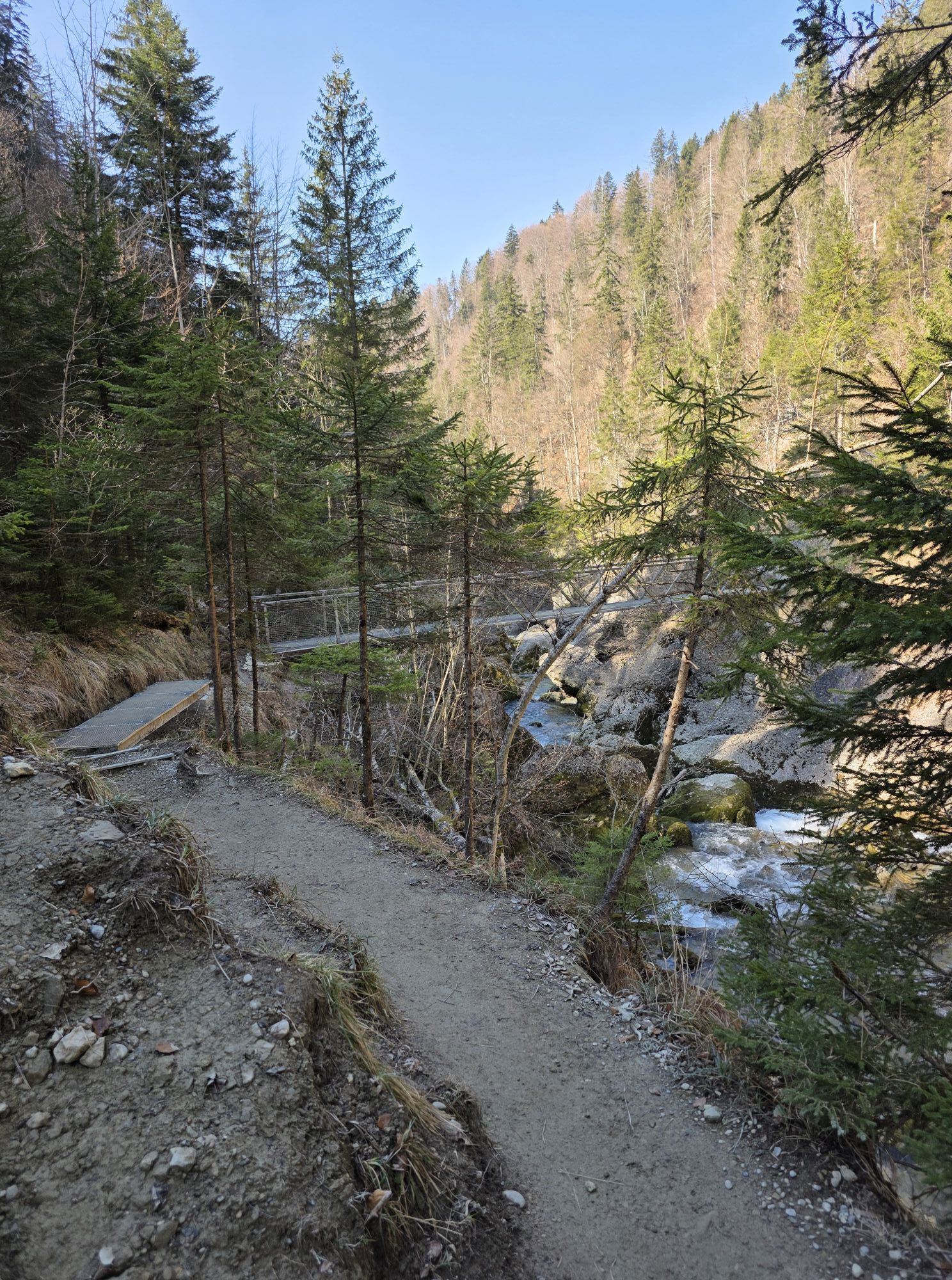
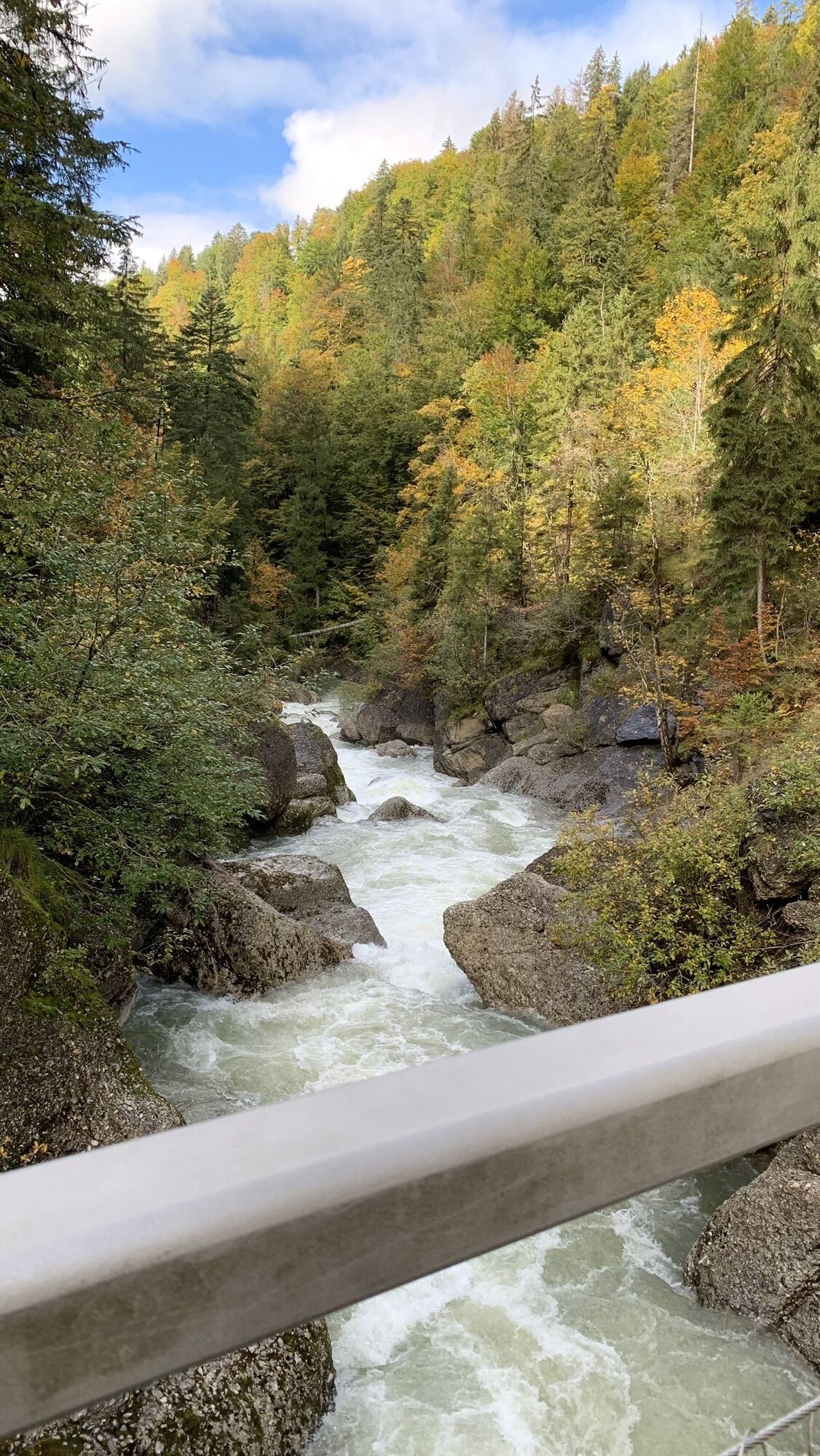
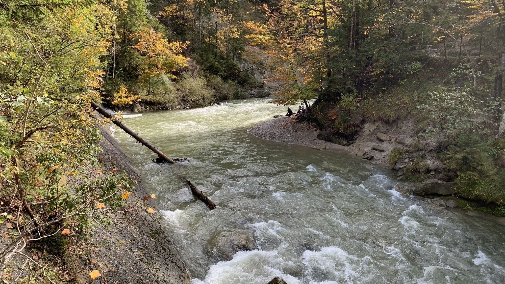
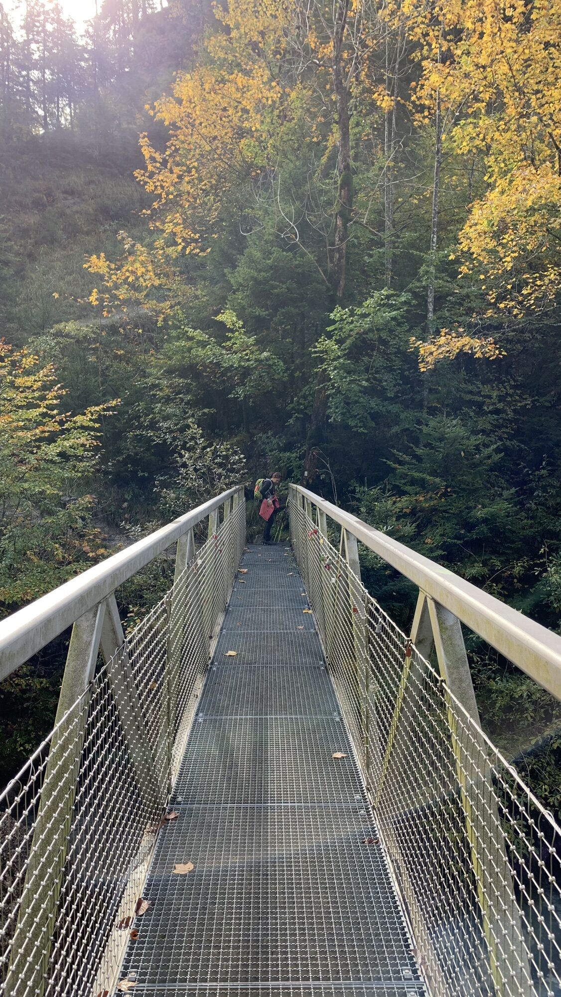
Here turn left to the bridge over the Weißach with the Krebs waterfalls. The path continues to the right via a field path and then via a walkway and cycle path into the district of Aach with the parish church Maria im Schnee. Now it goes uphill, first along the street up to the edge of the forest.
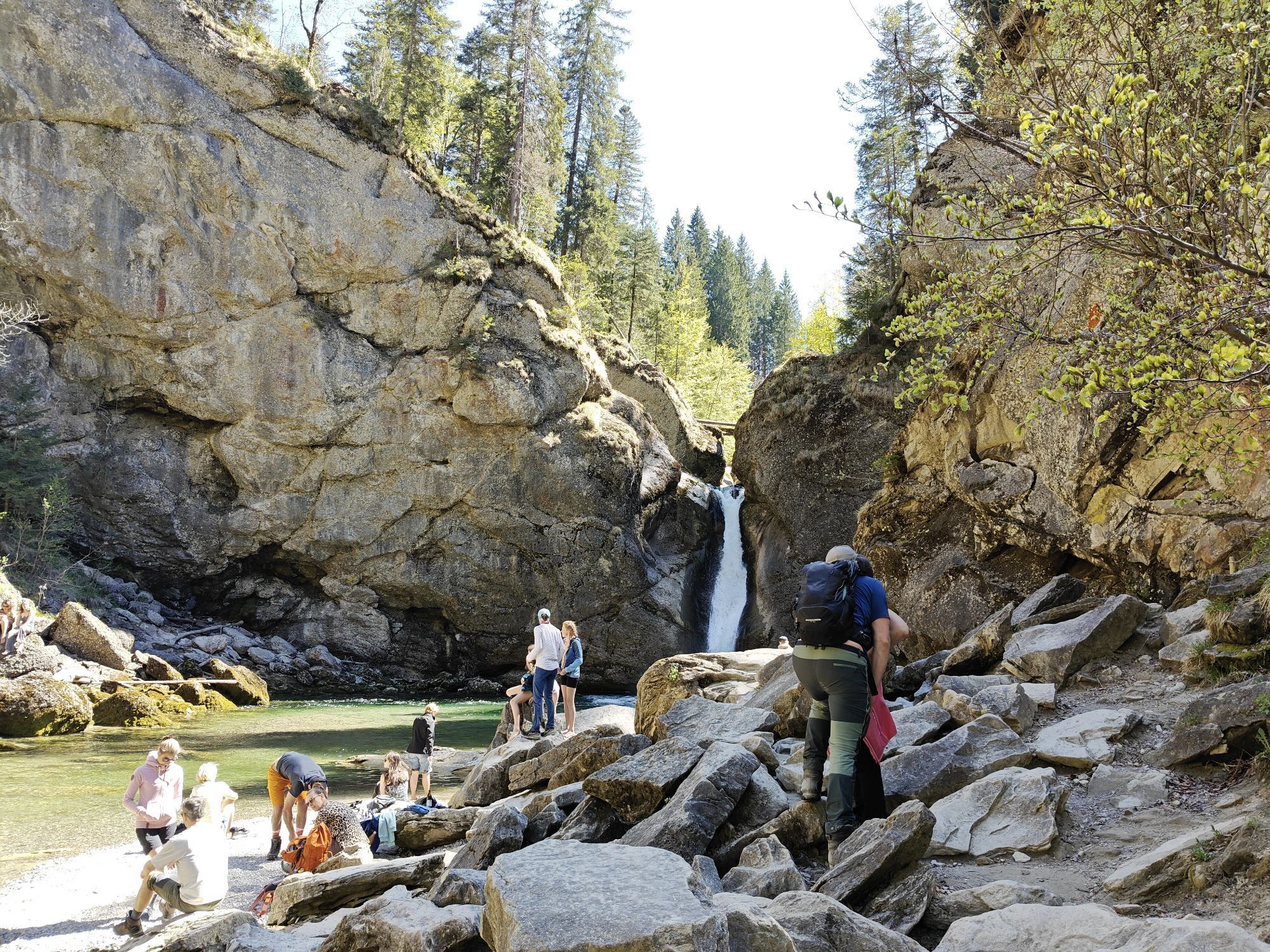
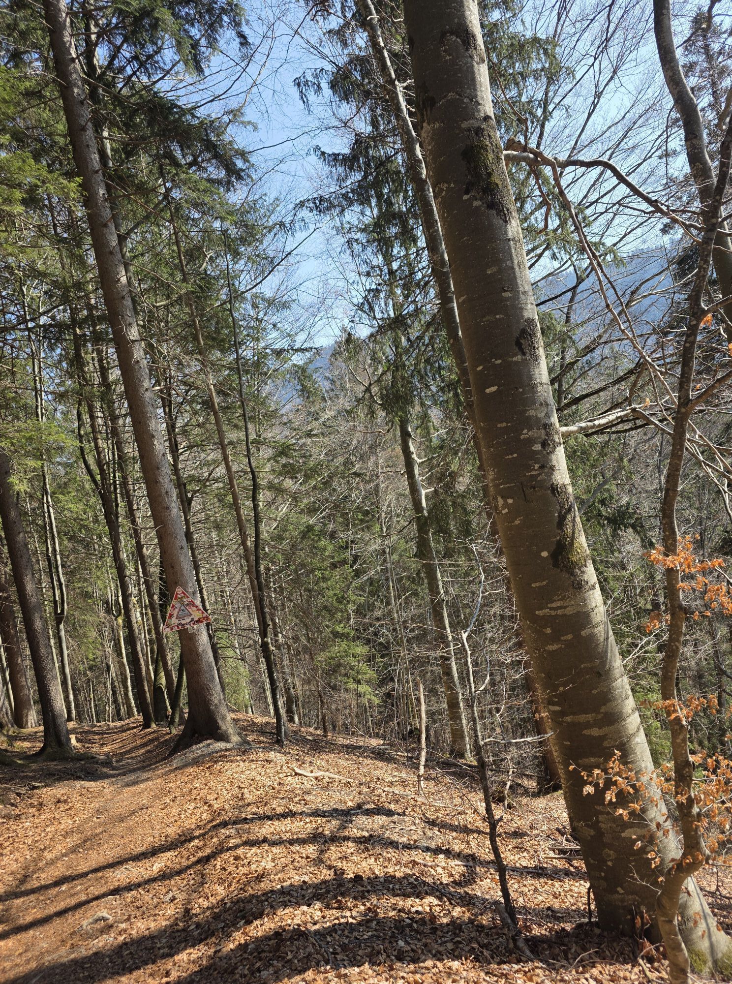
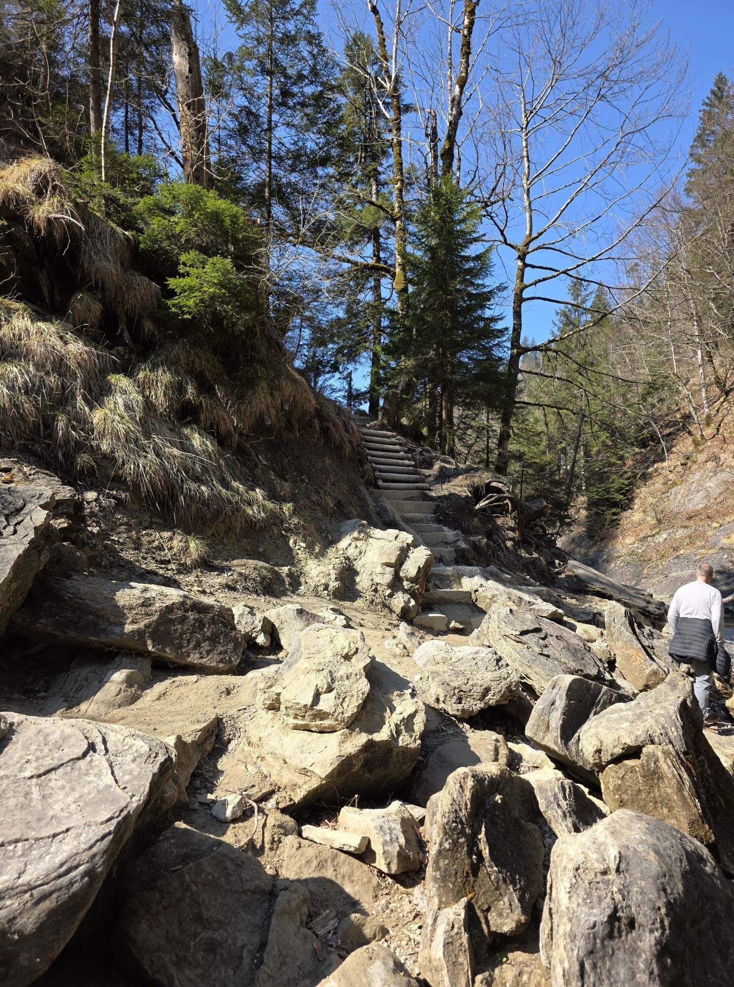
Here turn right onto the footpath and later again onto the street up to Hagspiel. At the chapel of St. Nikolaus von Flüe, go left over the three-country view to Schindelberg with the Rochus Chapel and Steibis with its parish church. Then descend from the town center following the signs continually to the Buchenegger waterfalls.
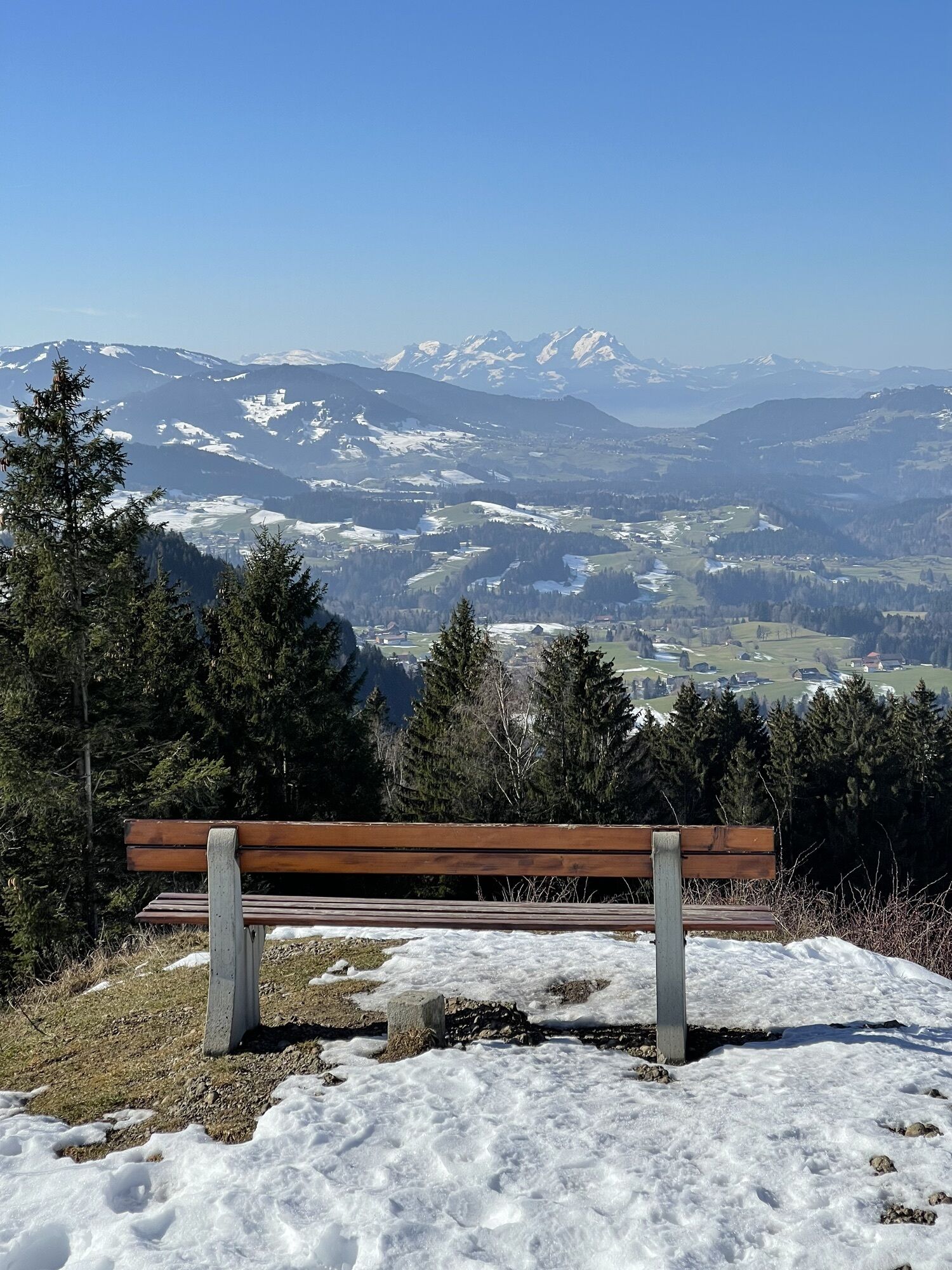
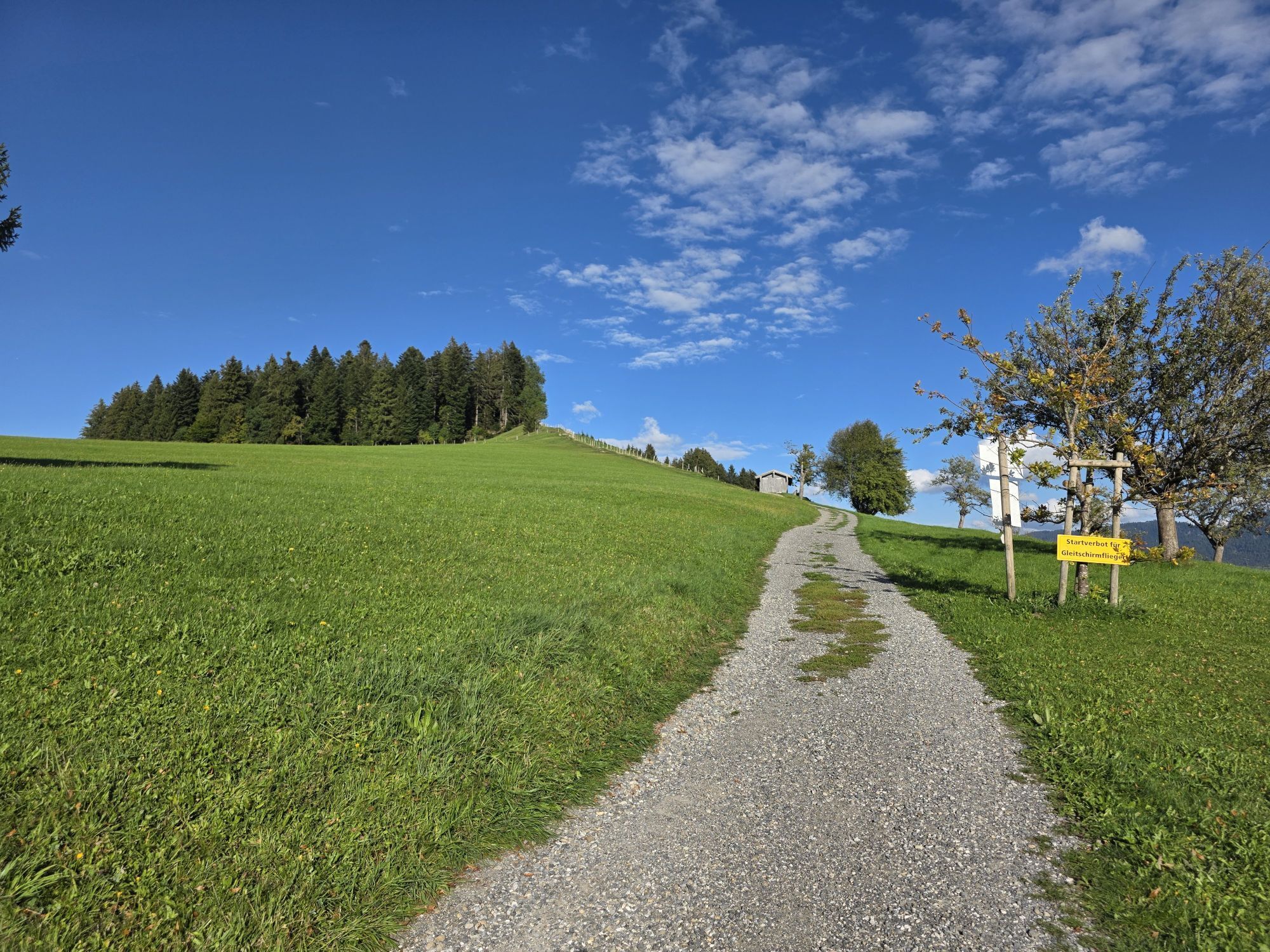
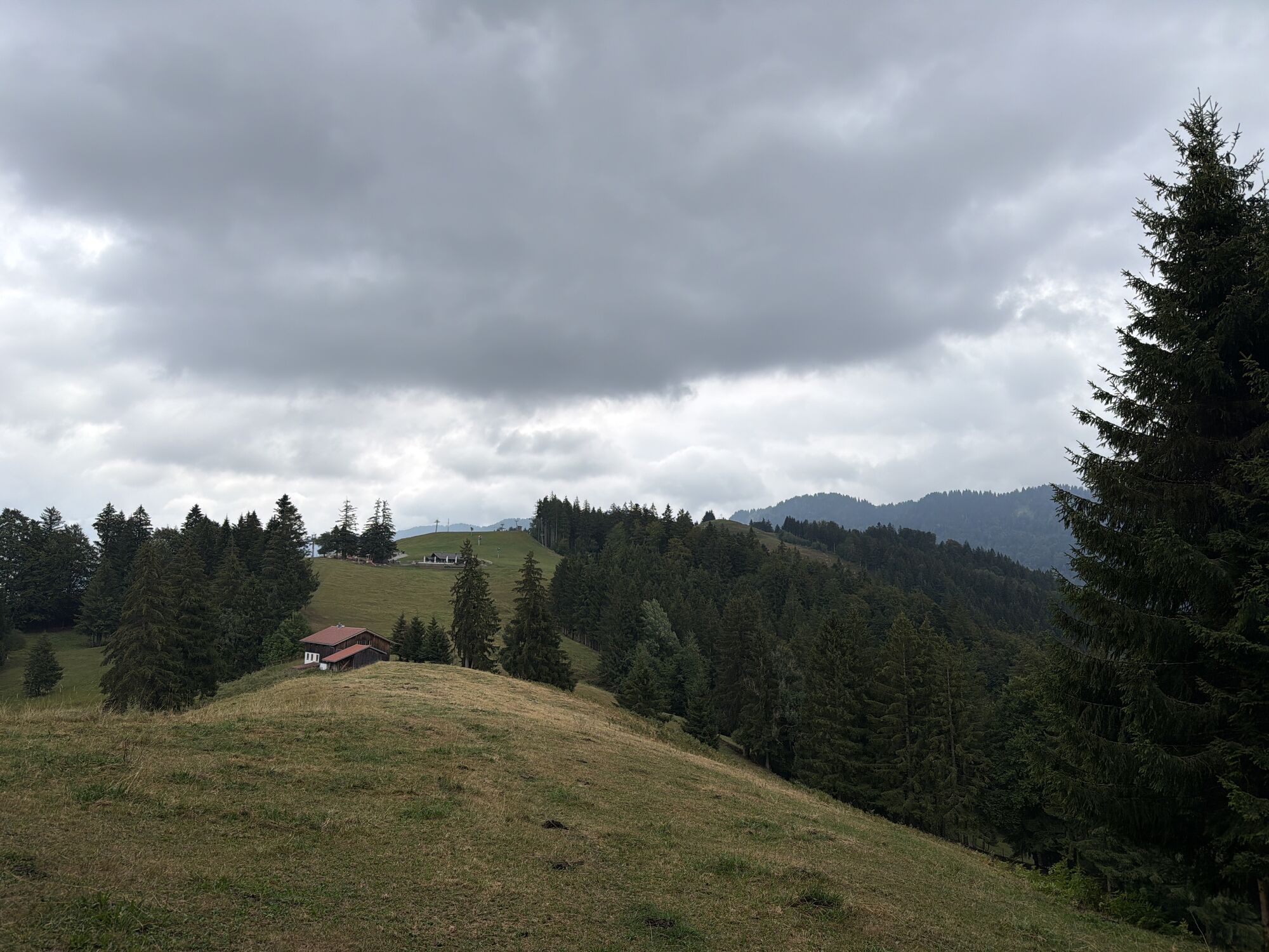
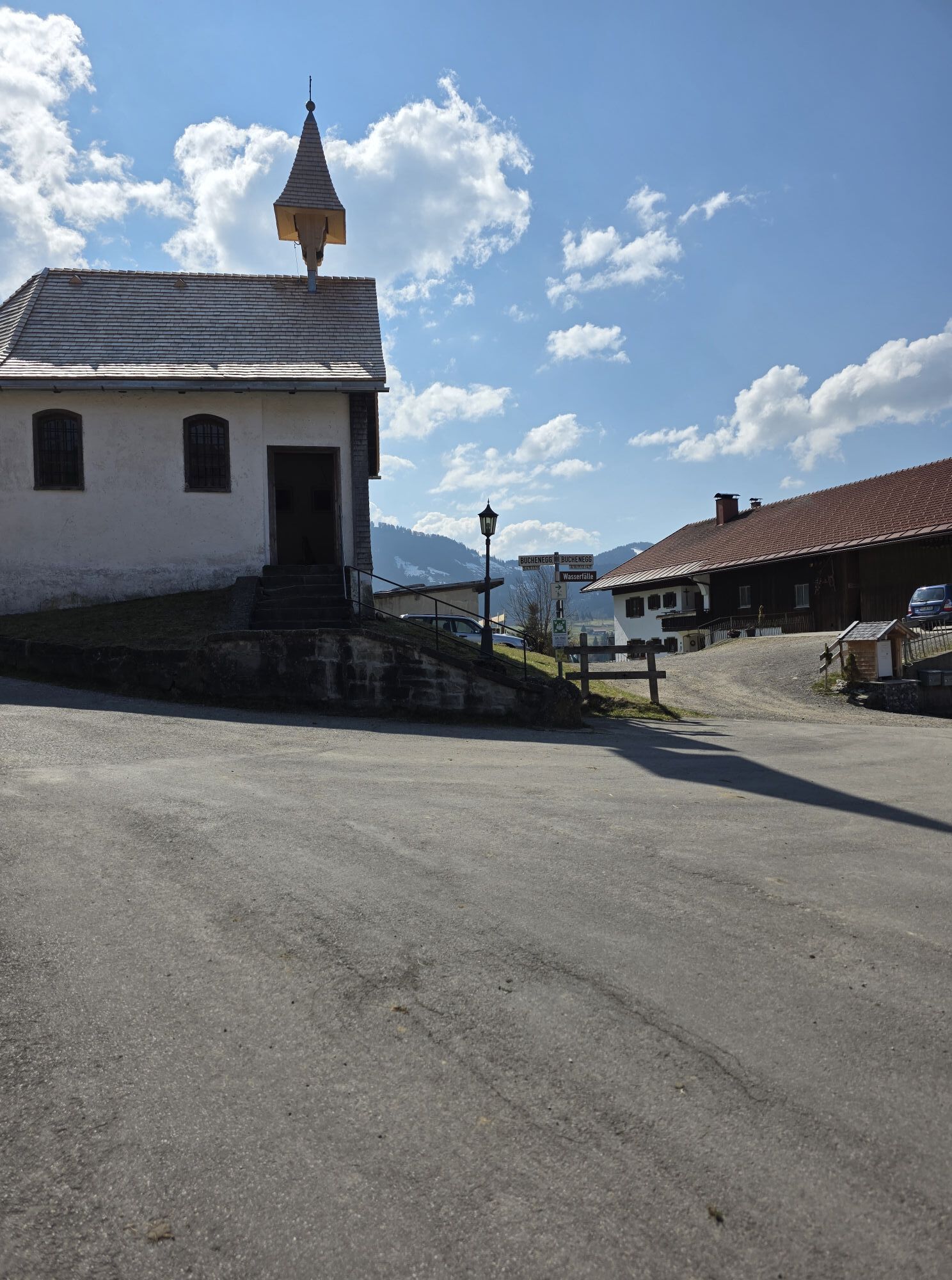
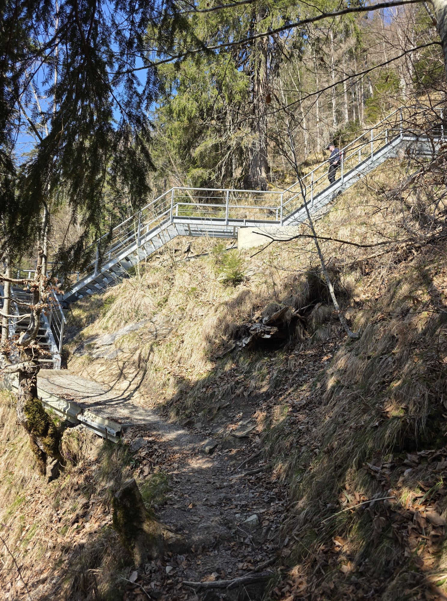
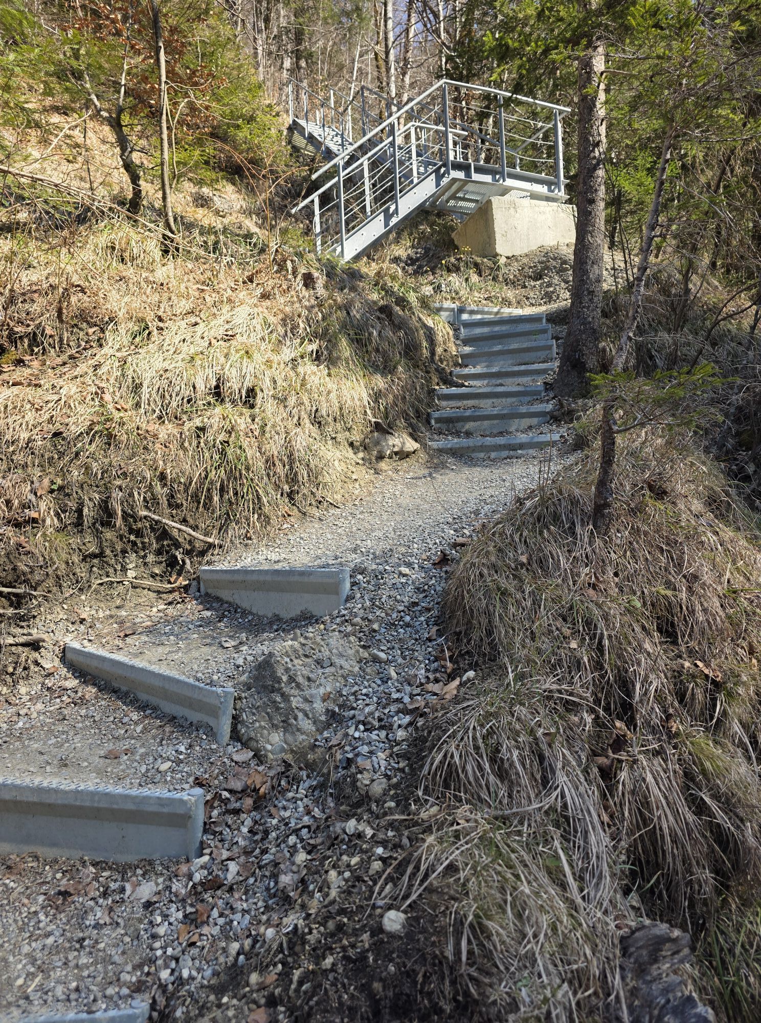
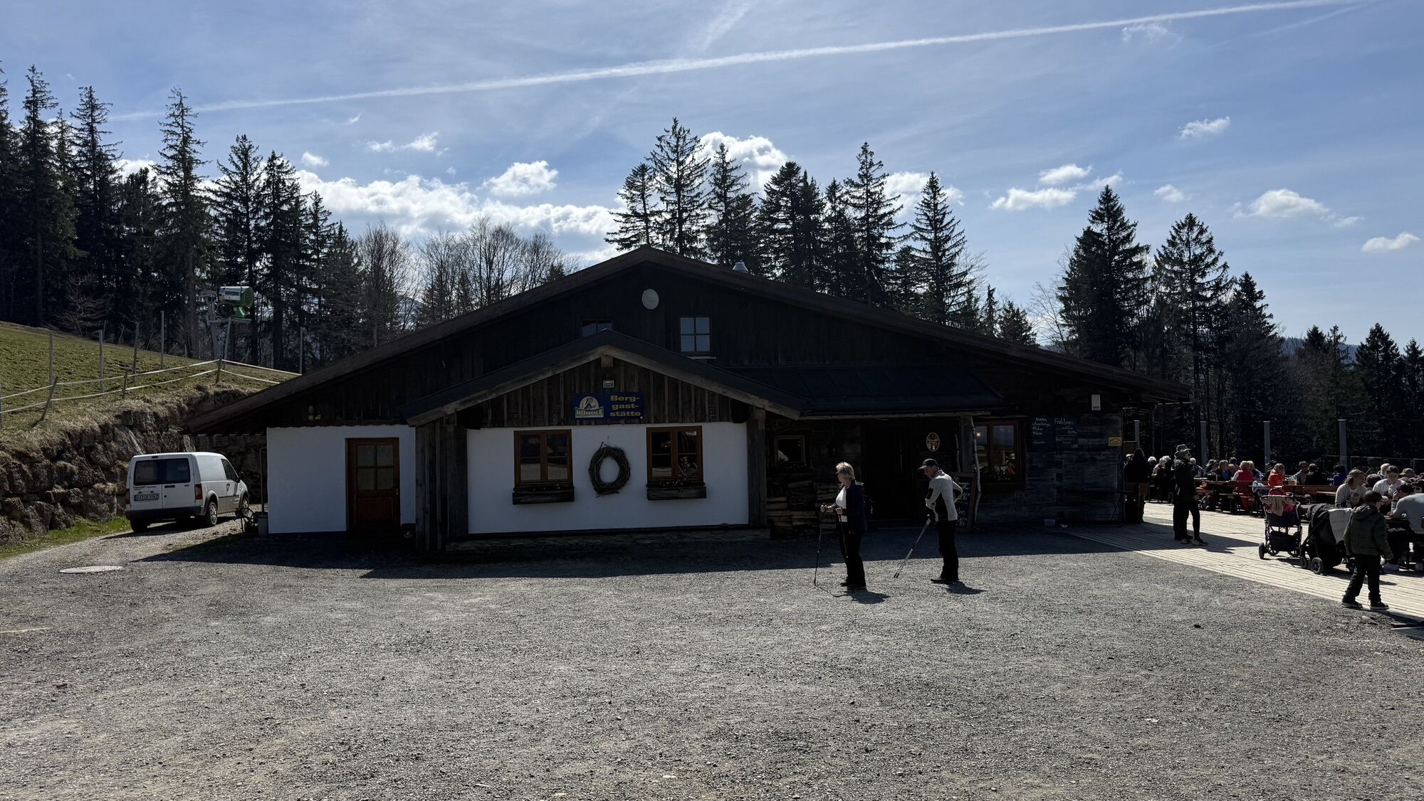
After a steep ascent, we reach a gravel path. We go left on the path westward to the district of Buchenegg with the Marienkapelle. In the village, turn right again following the signposts uphill to the Hündlebahn mountain station.
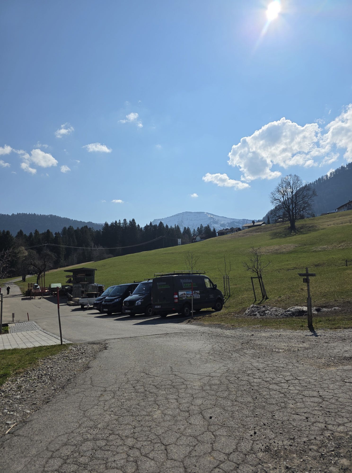
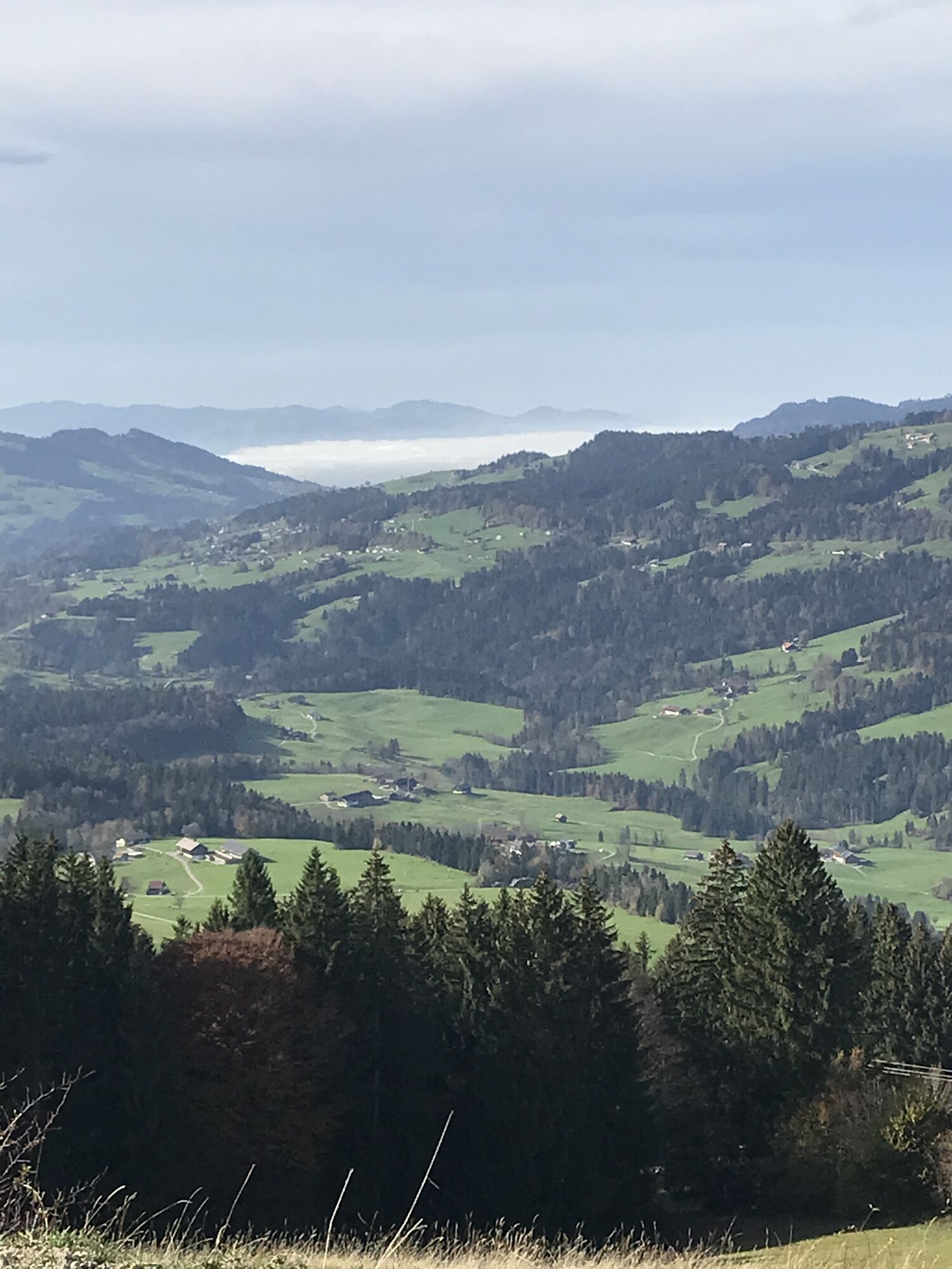
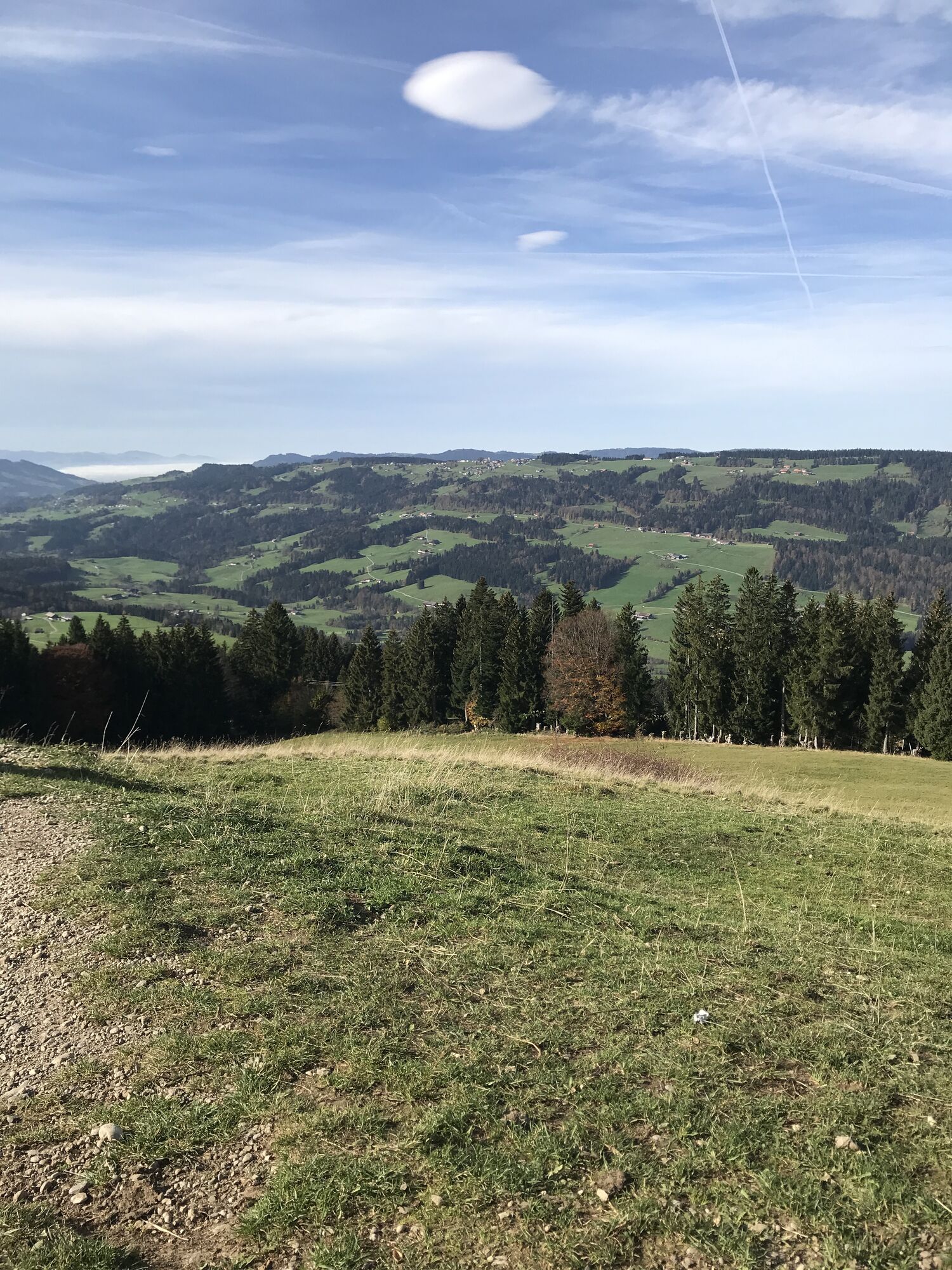
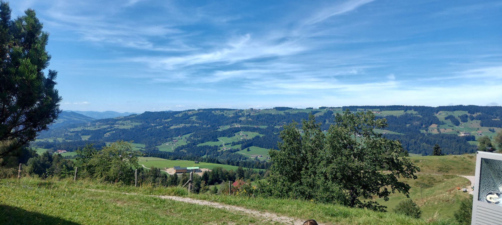
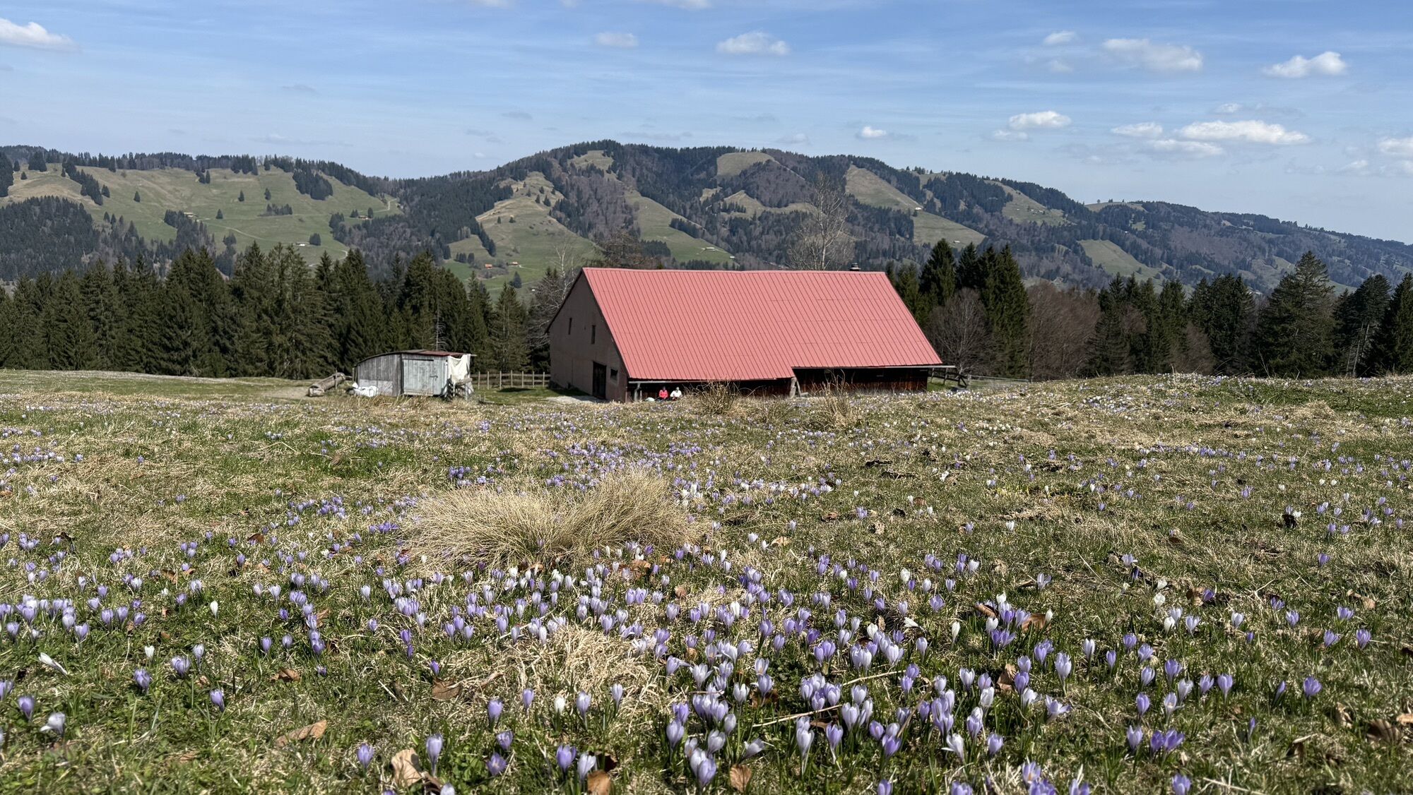
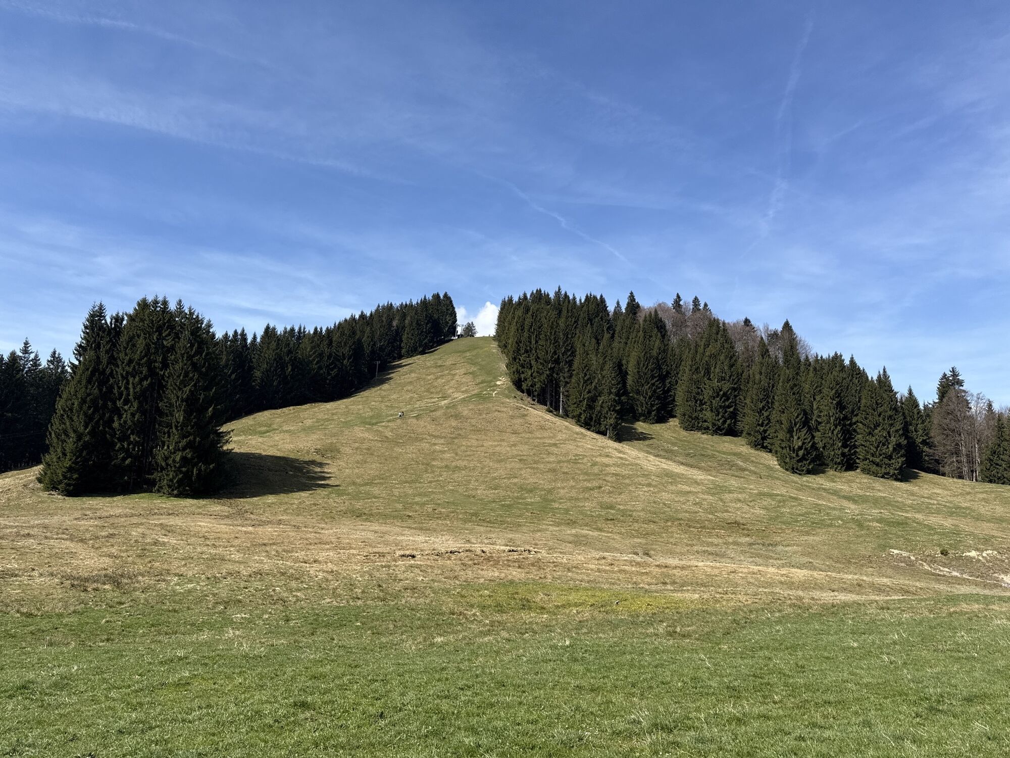
We continue hiking eastward with a magnificent panorama until the path merges into a paved small road. We turn right and follow the small road. Shortly before the end, we leave the small road to the left and now follow the signs first downhill and then east again until we reach Sämlalpweg.
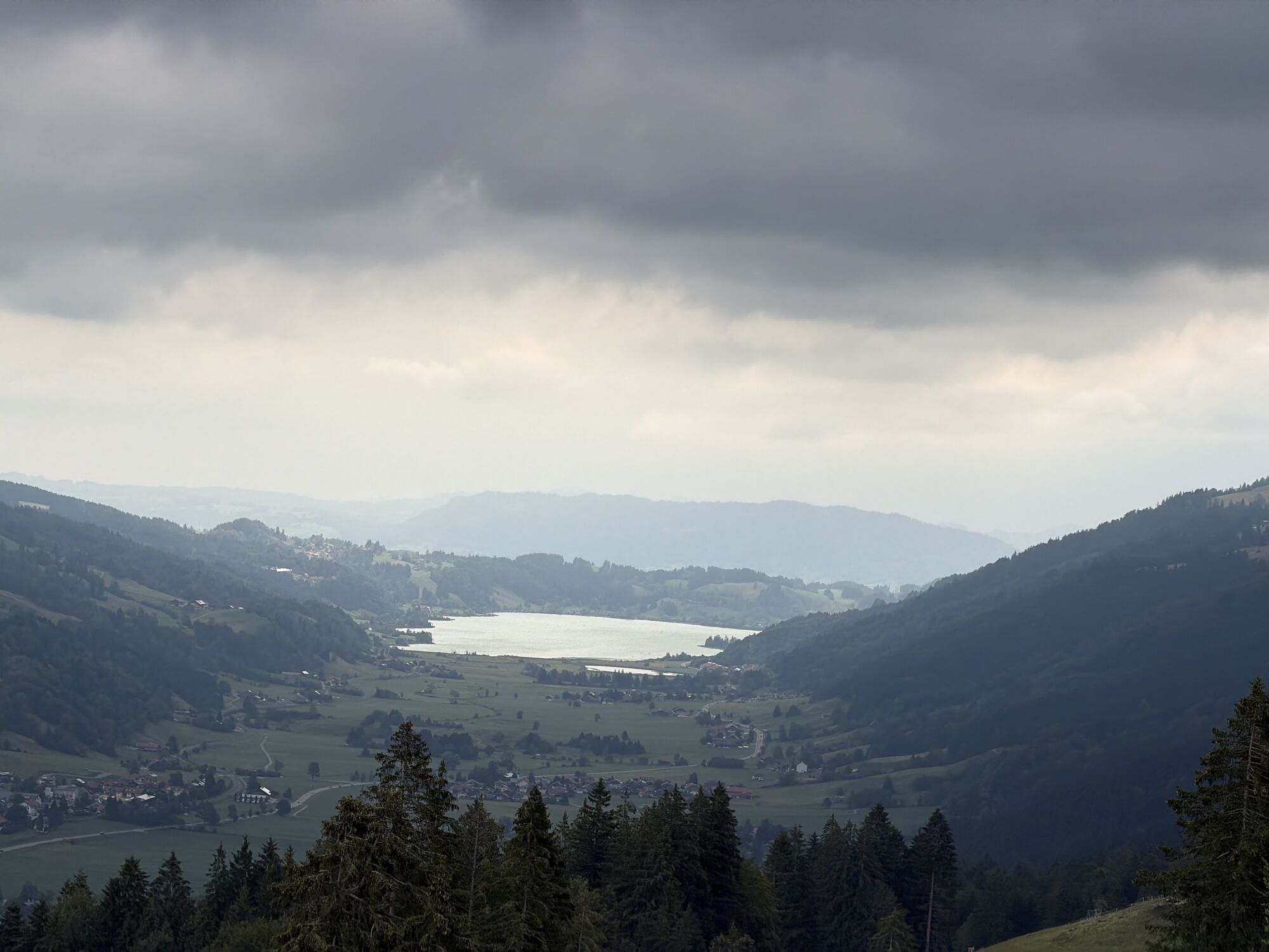
On this we walk down into the valley floor. We follow the municipal road left westward to Osterdorf and Thalkirchdorf with its parish church or alternatively can reach the chapel in Konstanzer to the right over the municipal road. Otherwise, from Thalkirchdorf we cross the valley bottom to Wiedemannsdorf. We now again follow the signposts north of the railway line along the railway embankment westward. Here a detour to St. Georg Chapel in Knechtenhofen is recommended.
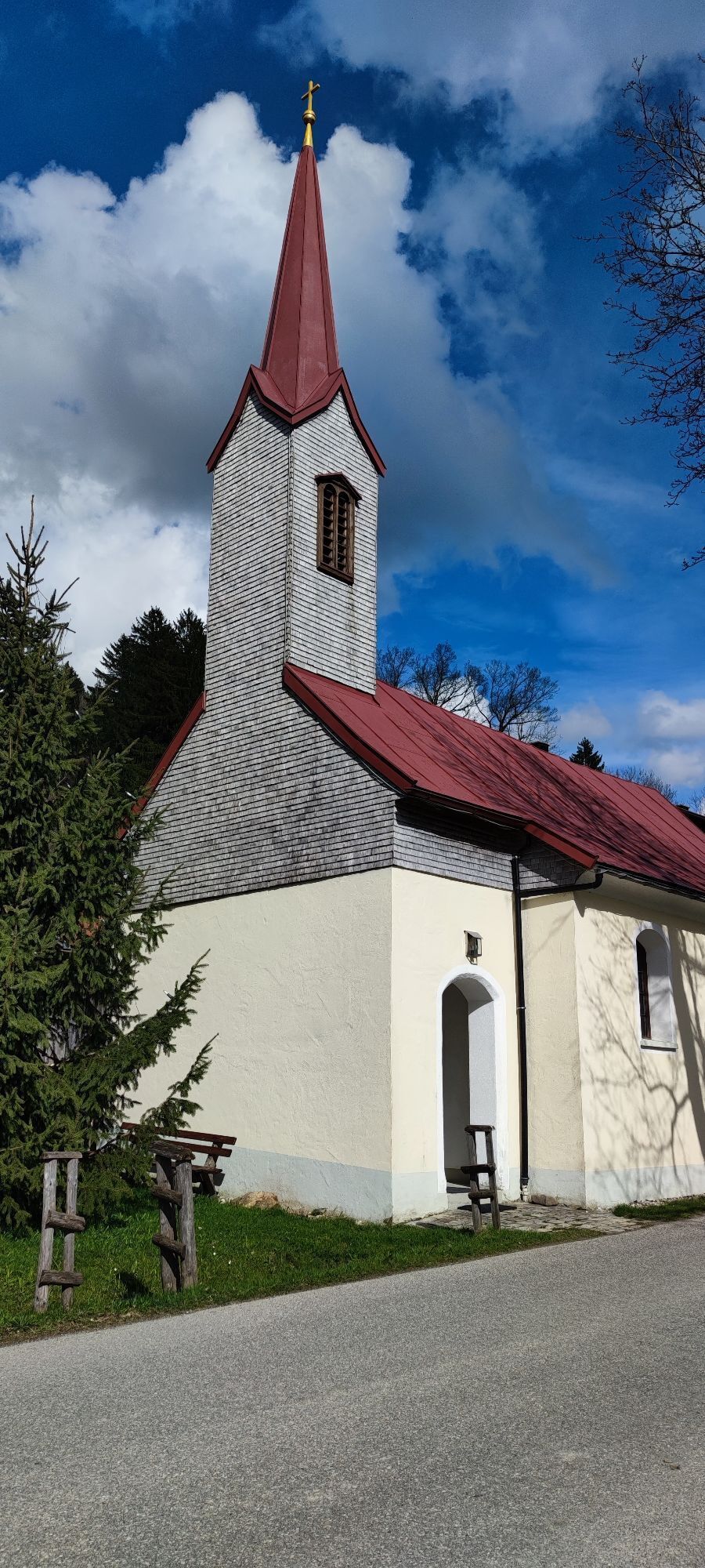
It continues through the district of Wengen to Kalzhofen with the chapel Maria Immaculata at the St. Maria children's home. In the village, we go right up Meeraustraße past Hotel Haubers Gutshof into the Schwarzenbach valley. We cross the golf course, go through a woodland and reach the magnificent Bartholomew's Chapel in the village of Zell.
On the street we go to Buflings, cross the state road and take the footpath to Oberstaufen. After the railway bridge we turn left and reach along the railway embankment the starting point of our hike, the Oberstaufen station.

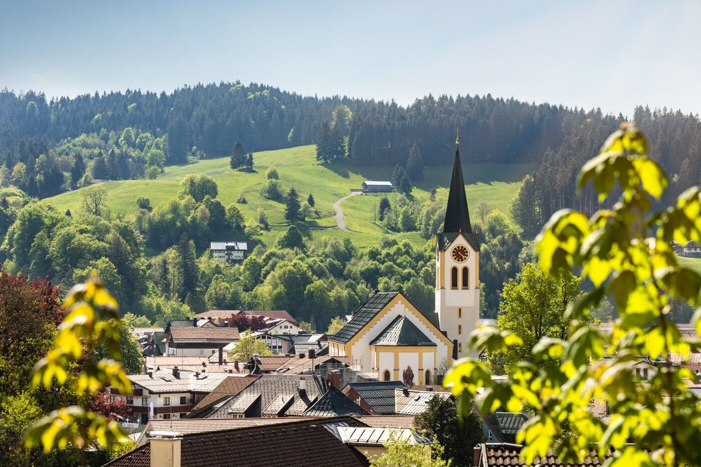

Parish Church Oberstaufen - Protestant Chapel - Lourdes Chapel - St. Elisabeth Nursing Home - Calvary Chapel - Marienkapelle Laufenegg - Parish Church Aach - Bruder Klaus Chapel Hagspiel - Rochus Chapel Schindelberg - Parish Church Steibis - Konstanzer Chapel - Parish Church Thalkirchdorf - St. Georg Knechtenhofen - Marienkapelle Kalzhofen - Bartholomew's Chapel - Spinner Chapel - Cemetery Chapel
On the B308 to Oberstaufen
Parking spaces at Oberstaufen station
Kamery internetowe z trasy
-
Hochlitten Riefensberg / Bregenzerwald
-
Hochgratbahn Bergstation
-
Oberstaufen
-
Skilifte Sinswang
-
Oberstaufen - Biohotel Schratt
-
Oberstaufen - Biohotel Schratt
-
Oberstaufen
-
Sulzberg
-
Sulzberg
-
Alpe Hohenschwand
-
Thaler Höhe
-
Oberstaufen - Rosenalp
-
Hündlebahn Bergstation
-
Imberghaus
-
Thaler Höhe
-
Oberstaufen - Hörmoos
-
Alpsee Bergwelt
-
Alpsee Bergwelt
-
Alpsee Bergwelt - Bärenfalle
-
Alpenarena Hochhäderich
-
Oberreute

Popularne wycieczki w okolicy
-
4,6
Steibis - Buchenegger Waterfalls
średniWędrówka 6,47 km -
4,5
Hittisau | Wasserwanderweg
światłoTrasa tematyczna 7 km -
4,7
Rindalphorn und Hochgrat
średniWędrówka 15,6 km -
5,0
Nagelfluh ridge route Hochgrat - Mittag
ciężkiWędrówka 14,0 km -
4,9
Immenstädter Horn
światłoWędrówka 9,35 km -
4,5
Hittisau | Rundwanderung von Hittisau zum Hochhäderich
średniWędrówka 9,22 km -
4,5
Immenstädter Horn - Gschwender Horn
światłoWędrówka 10 km -
4,1
Circular route Hündle to the Buchenegger Waterfalls
średniWędrówka 9,69 km -
4,8
Grosser-Alpsee-Rundweg-11-km
światłoWędrówka 10,9 km -
3,7
Rundtour Mittag
światłoWędrówka 15,7 km
Wędrówki i tropienie


Nie przegap ofert i inspiracji na następne wakacje
Twój adres e-mail została dodana do listy mailingowej.





