







Ski tour - Kreuzspitze

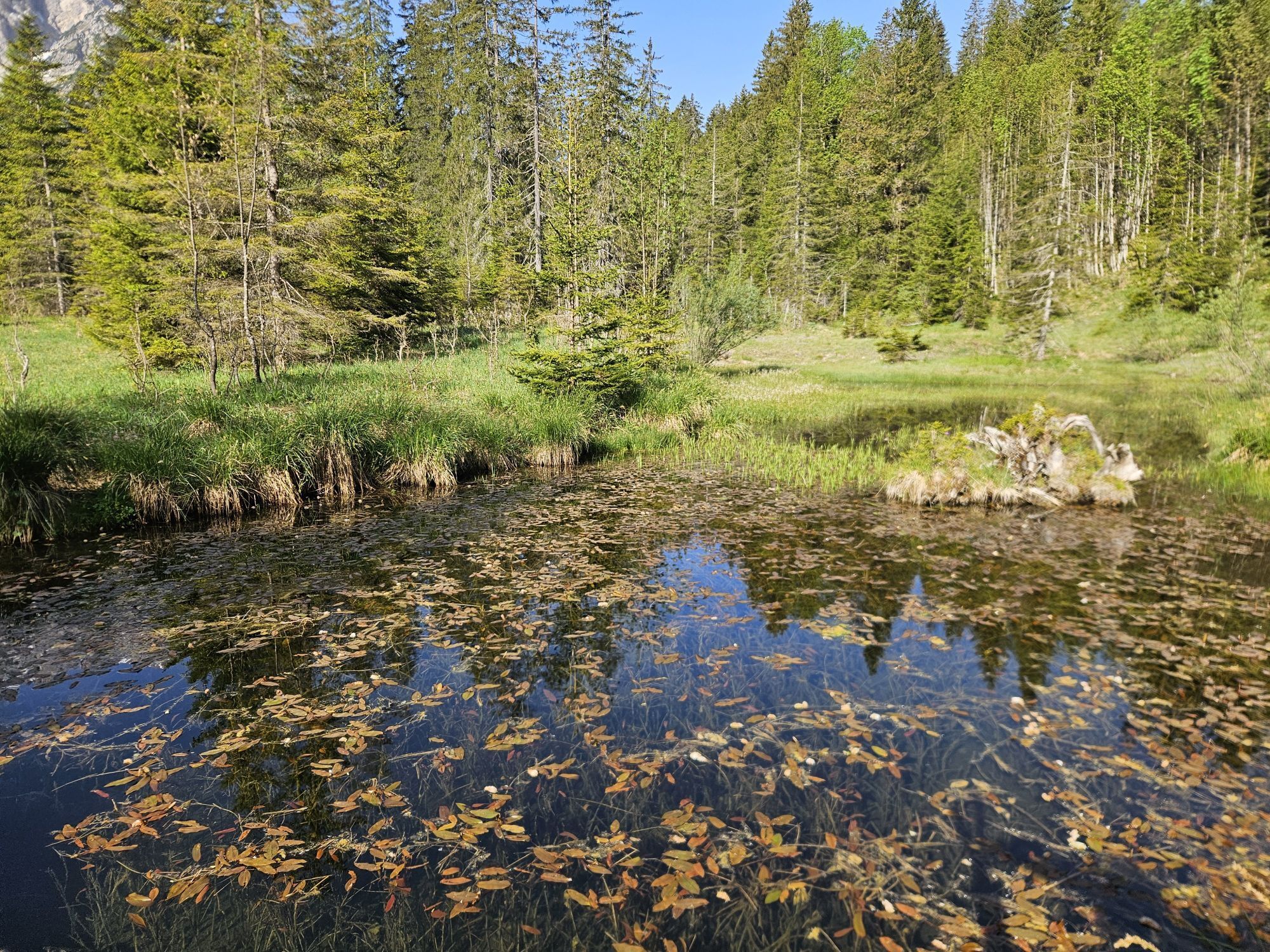
The Kreuzspitze is one of the most popular ski tour mountains in the Ammergau Alps. The steep North cirque is addictive with powder snow. The strenuous and steep ascent has hardly any flat sections and...
The Kreuzspitze is one of the most popular ski tour mountains in the Ammergau Alps. The steep North cirque is addictive with powder snow. The strenuous and steep ascent has hardly any flat sections and is only recommended under good conditions and for confident skiers.

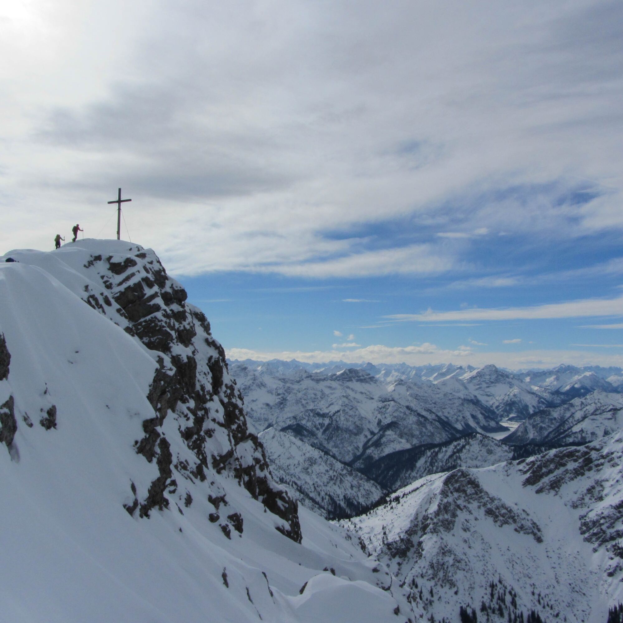
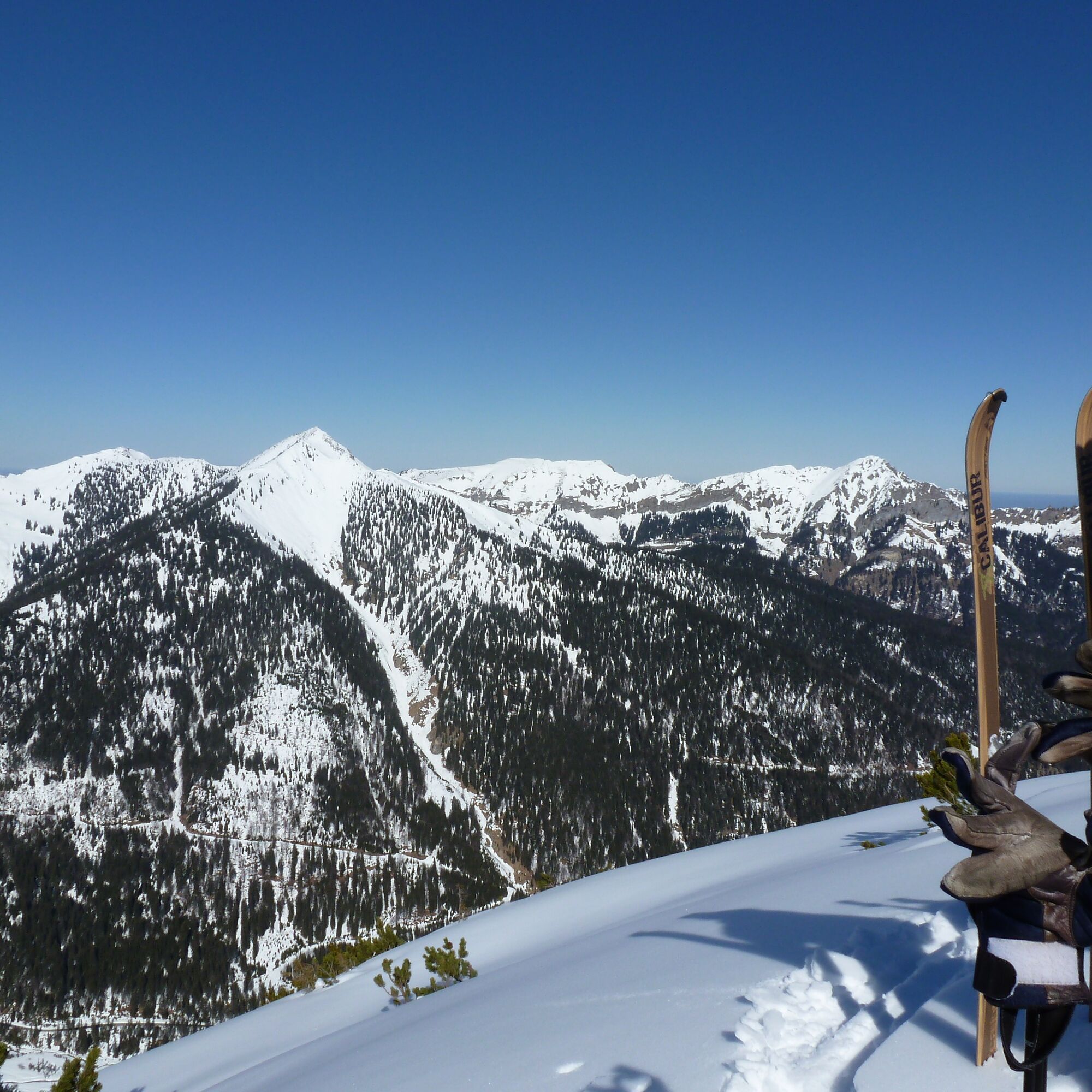
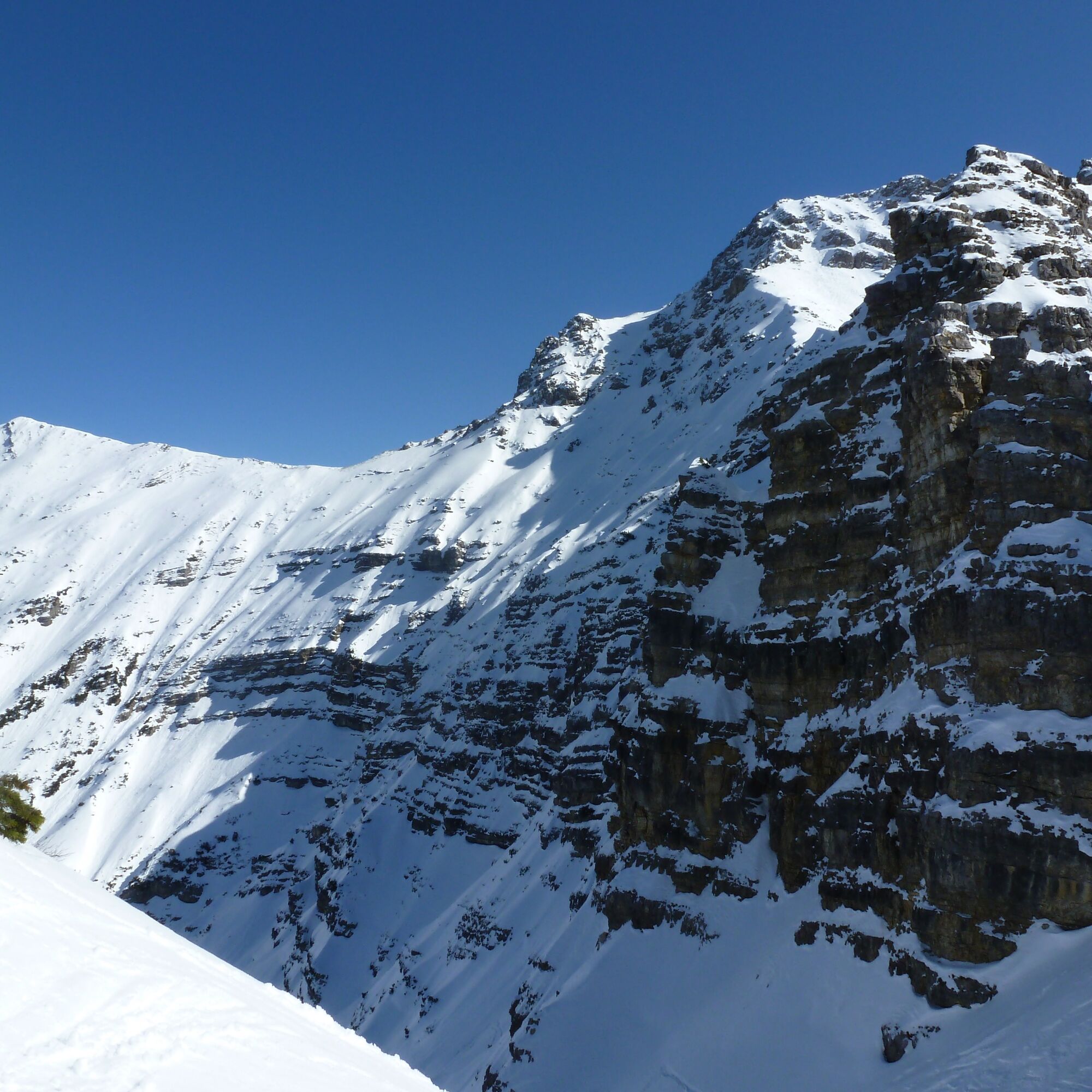
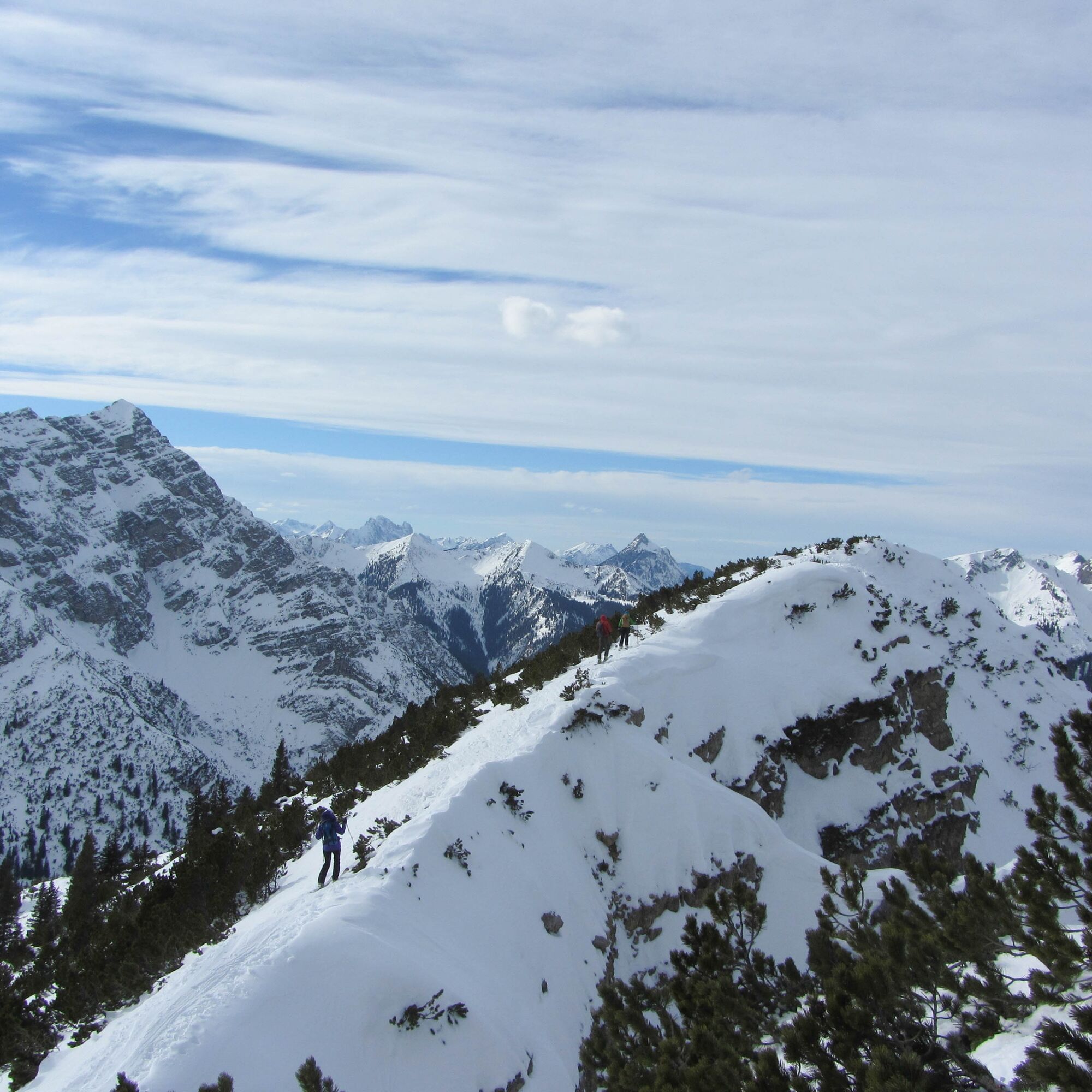
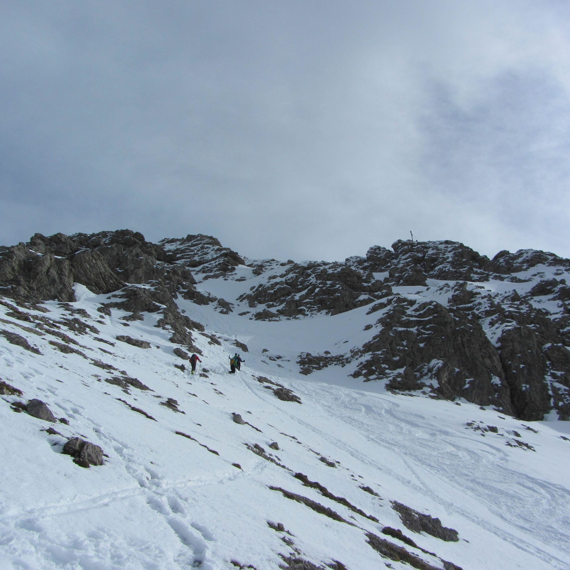

From the parking bay on the road, first walk back a few meters to the clearing that descends from the large North cirque of the Kreuzspitze. Often some cars are already parked on the roadside here. From here, you descend to the stream, cross it, and start through the forest and the clearing into the Kreuzspitzkar. At the top, head right out of the cirque and steeply continue to the larch-covered western ridge of the Kreuzspitze and over this to the summit slope. From here, you normally have to go up to the summit on foot (rocky passages). Under very good conditions, the summit slope can even be skiable (approx. 40 degrees).
Tak
Tak
With the perfect equipment, your personal winter day in the Ammergau Alps Nature Park will be unforgettable. You can rent suitable winter equipment such as crampons (spikes for hiking boots), hiking poles, snowshoes, sleds, or cross-country skis from our partners, depending on availability:
Tourist-Info Bad Bayersoien
Address: Dorfstr. 45 - 82435 Bad Bayersoien
Phone: +49 8845 7030 620
Drahtesel Rental Lukas Spindler/ Sporthaus Mühlstraße
Address: Theaterstraße 2 - 82487 Oberammergau
Phone: +49 172 7228493
www.sport-muehlstrasser.de
www.bikeverleih-oberammergau.de
Sportzentrale Papistock
Address: Bahnhofstraße 6a, 82487
Phone: +49 8822 4178
www.sportzentrale-papistock.de
Please ALWAYS observe the avalanche report: www.lawinenwarndienst-bayern.de
In case of emergency, please contact the nearest rescue coordination center. Regardless of location, you can reach it nationwide in Germany under the telephone number 112.
From Oberammergau/Ettal via Graswang and Linderhof towards Plansee.
Valley village: Graswang
Starting point: On the road towards Plansee, at the border sign (hairpin turn with parking bay, approx. 1080 m).
No public transport
Guests of the Ammergau Alps region travel free of charge by bus and train with the electronic guest card or the KönigsCard
e-Car-Sharing in the Ammergau Alps Nature Park
Parking lot Stock (summer), Graswang valley
Popularne wycieczki w okolicy
-
4,3
Höllentalklamm
średniWędrówka 5,53 km -
4,6
Mountain route - Teufelstättkopf
średniWędrówka 10,8 km -
4,5
Circular hike Dreh- and Rohrkopfhütte
światłoWędrówka 8,76 km -
4,1
Drehhütte
światłoWędrówka 3,34 km -
5,0
Zugspitze via Höllental
ciężkiVia ferrata 16,1 km -
4,6
Yellow Wall Trail, Tegelberg (A)
średniVia ferrata 3,65 km -
4,9
Tegelberg | Branderschrofen | Neuschwanstein
średniWędrówka 14,8 km -
4,4
Cultural trail Schutzengelweg
średniWędrówka 5,13 km -
4,8
Schafkopf
światłoWędrówka 10,2 km -
4,8
Höllentaler Rundtour
średniWędrówka 12,4 km
Wędrówki i tropienie


Nie przegap ofert i inspiracji na następne wakacje
Twój adres e-mail została dodana do listy mailingowej.





