







Ski tour - Teufelstättkopf

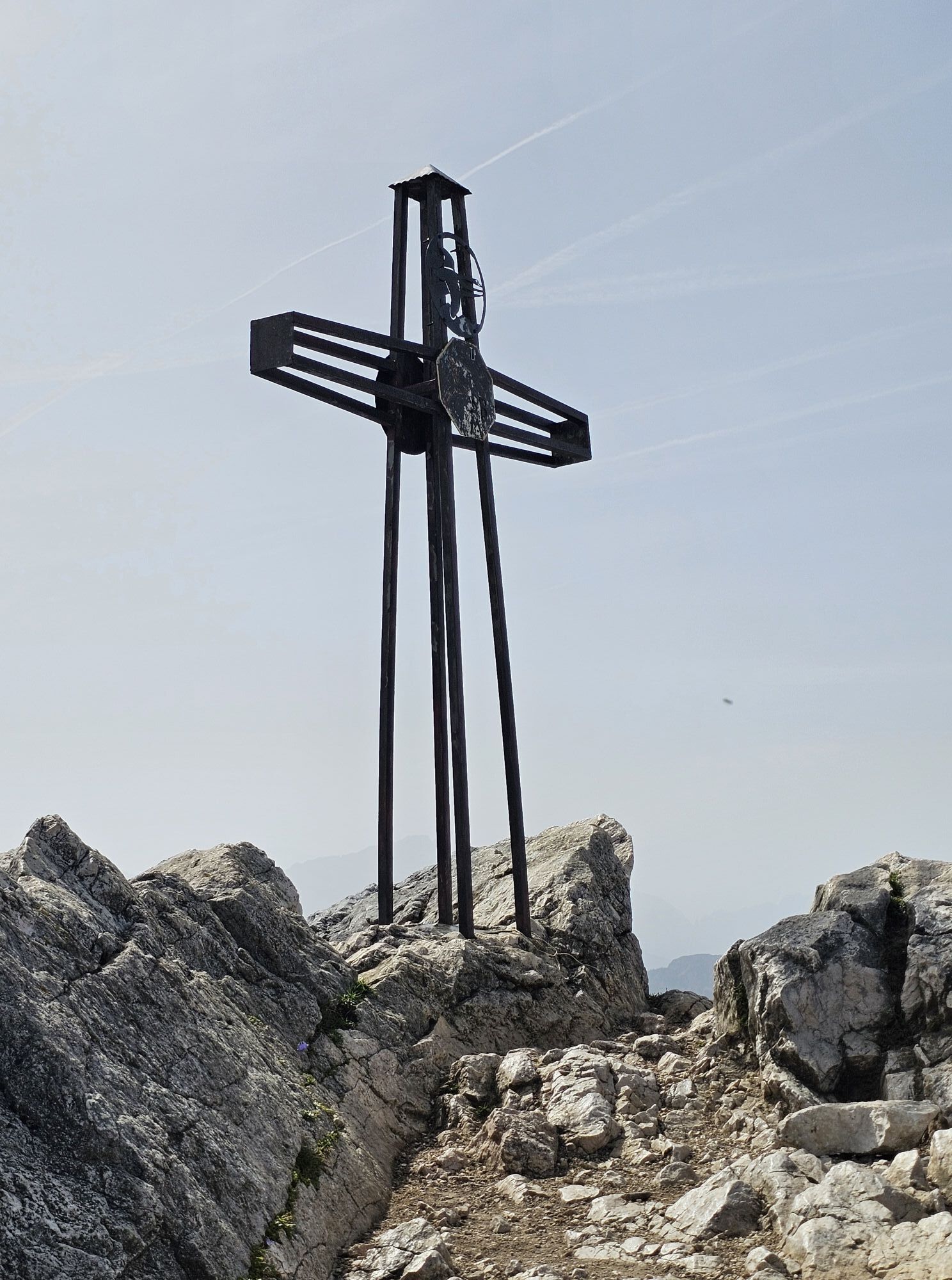
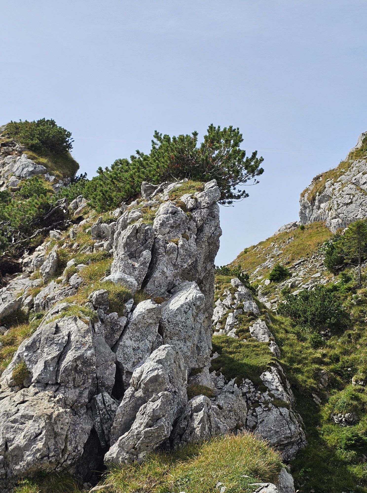
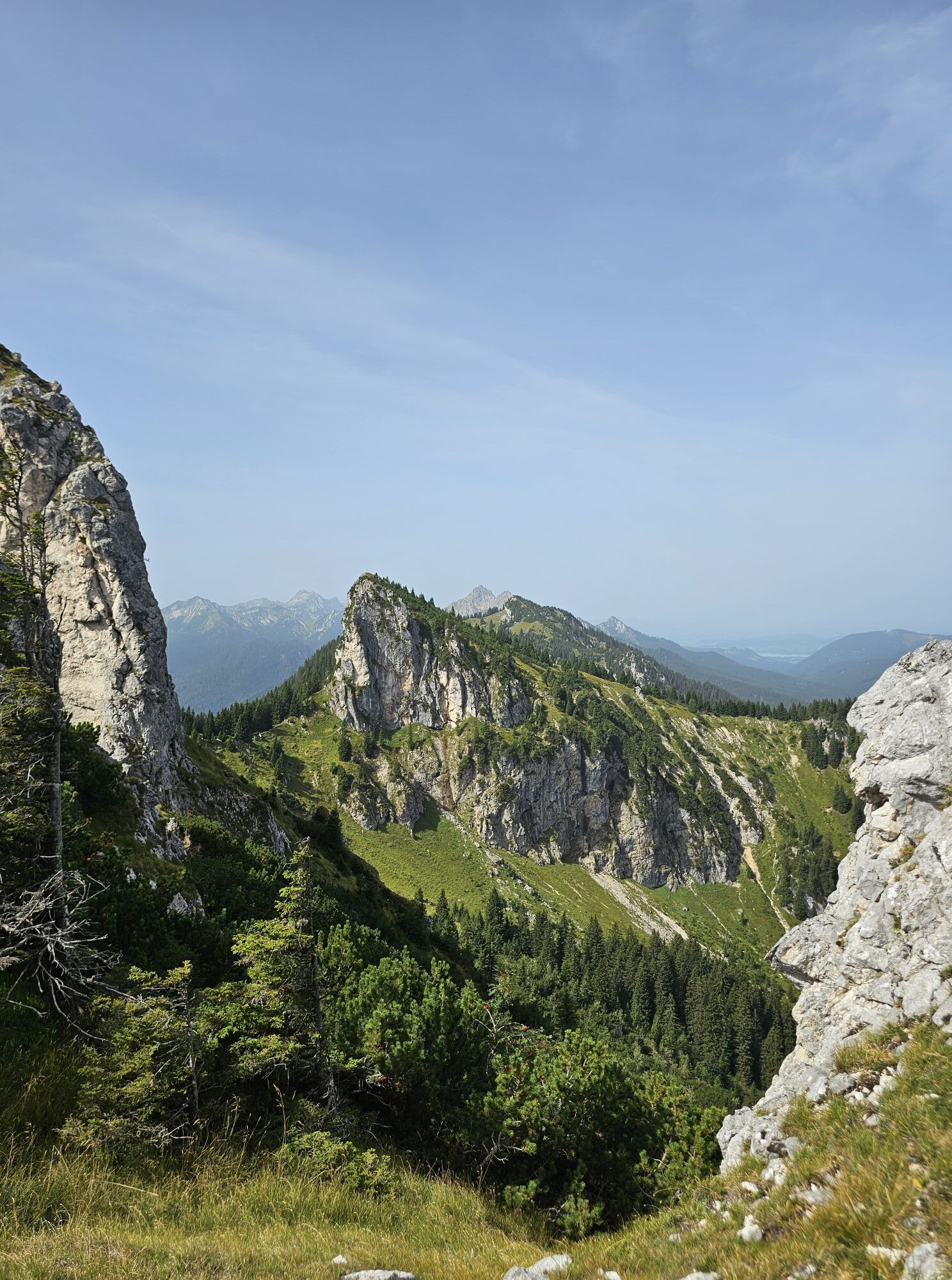
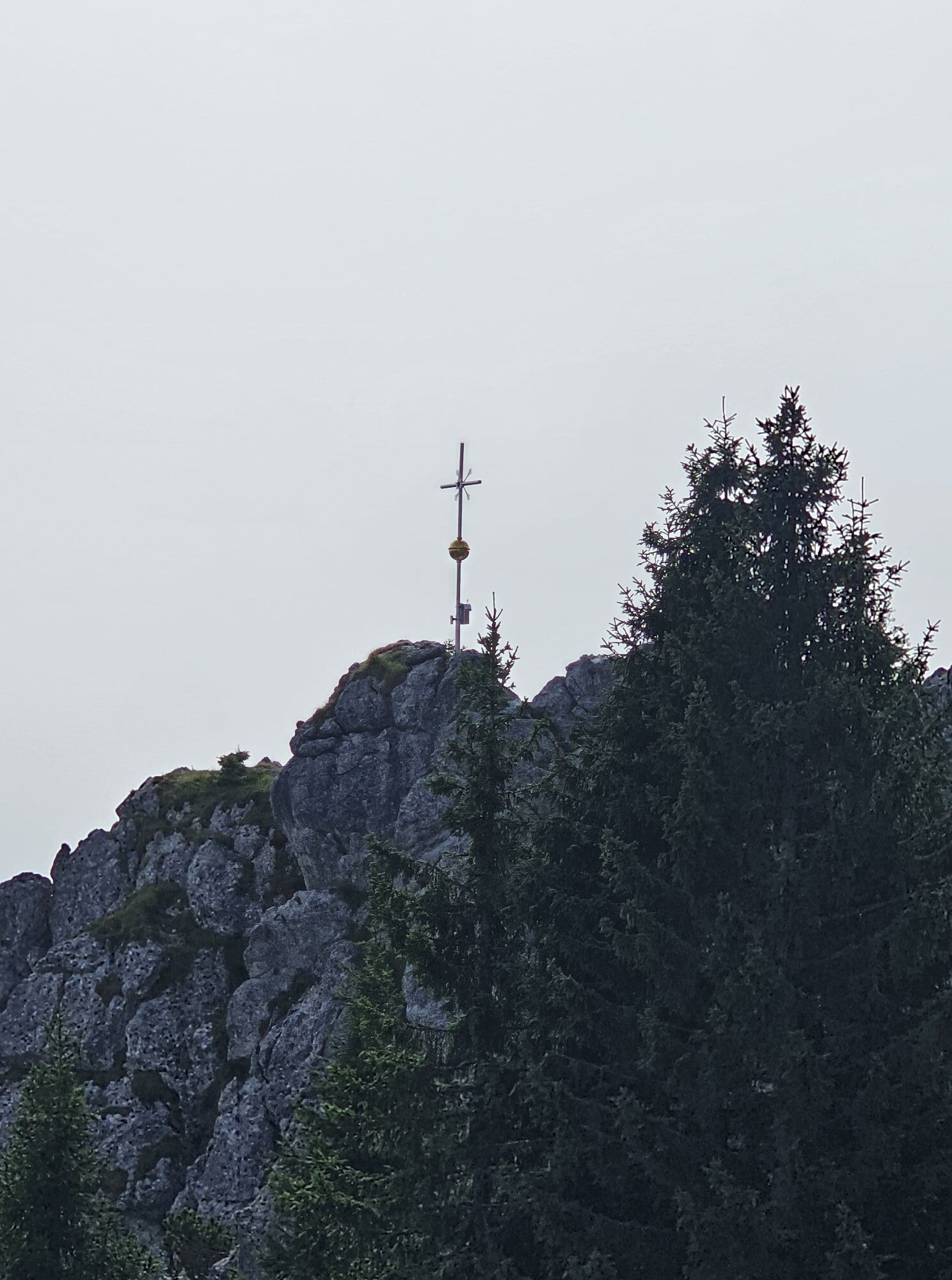
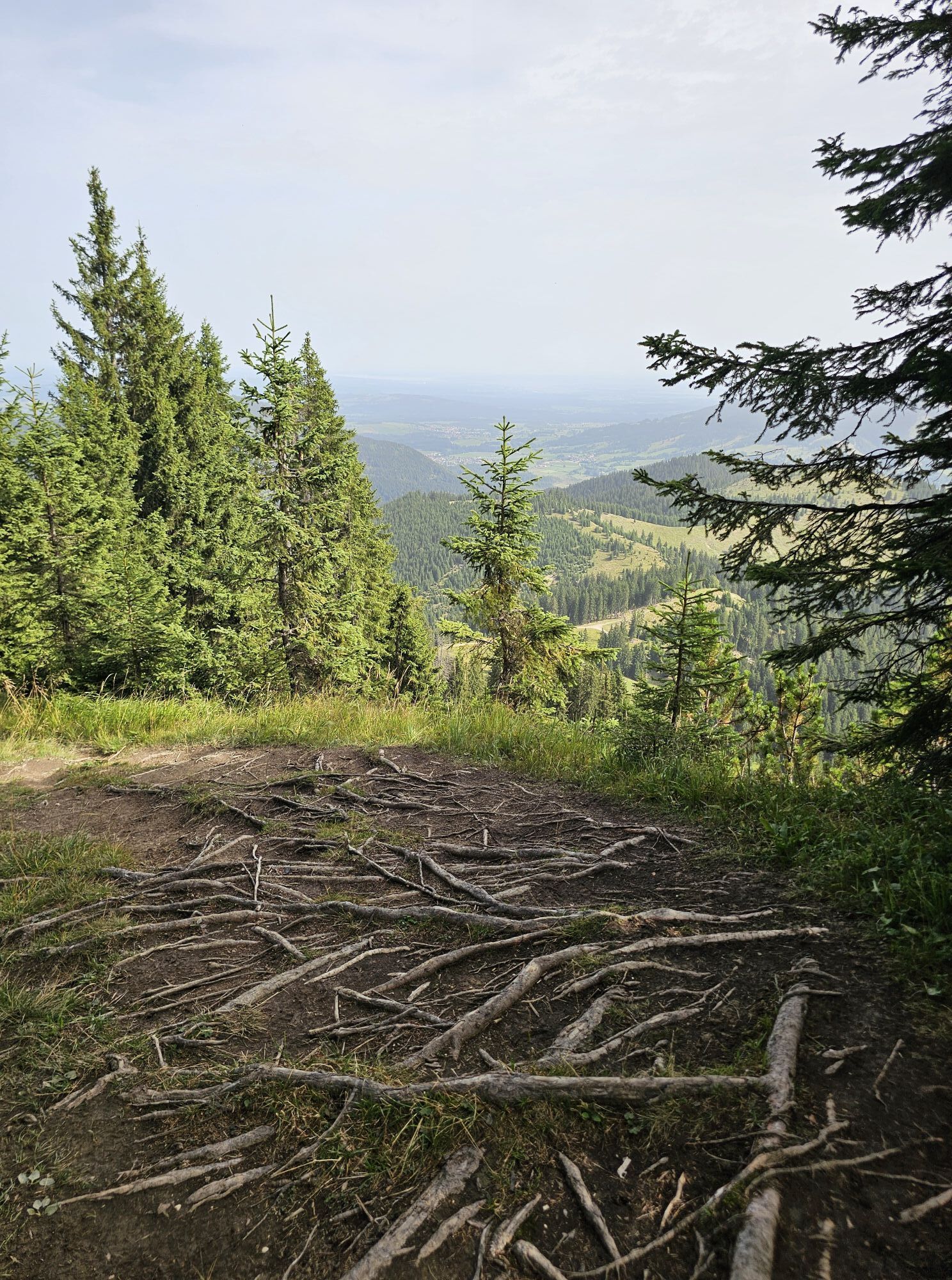
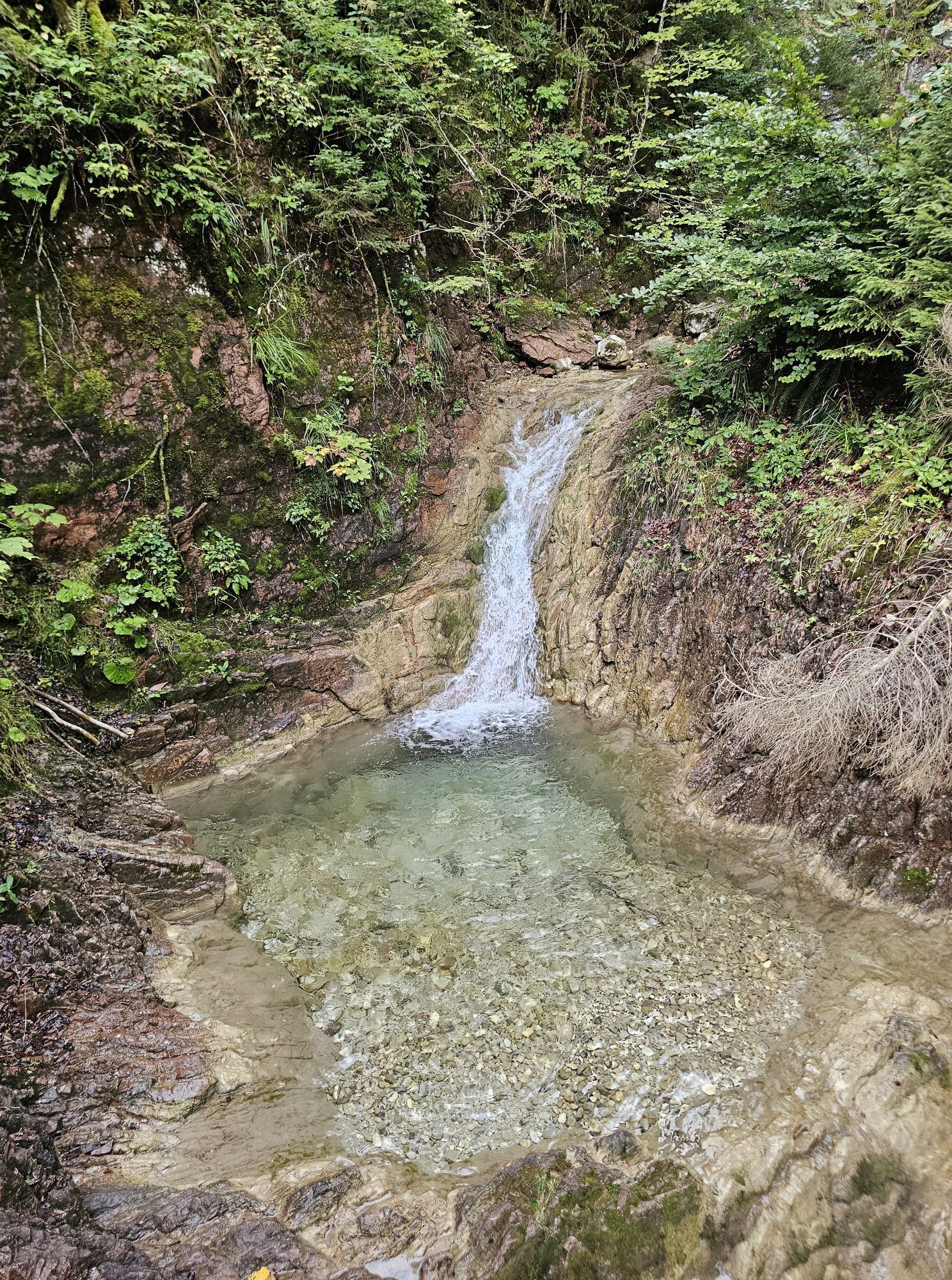
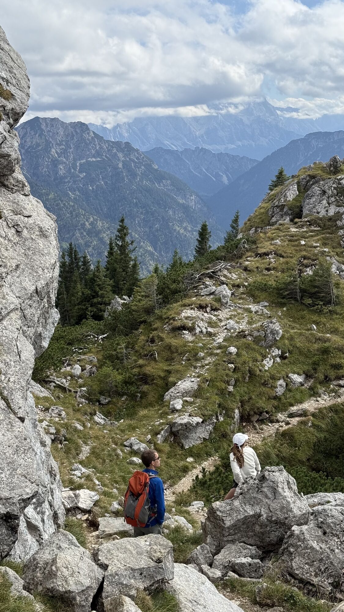
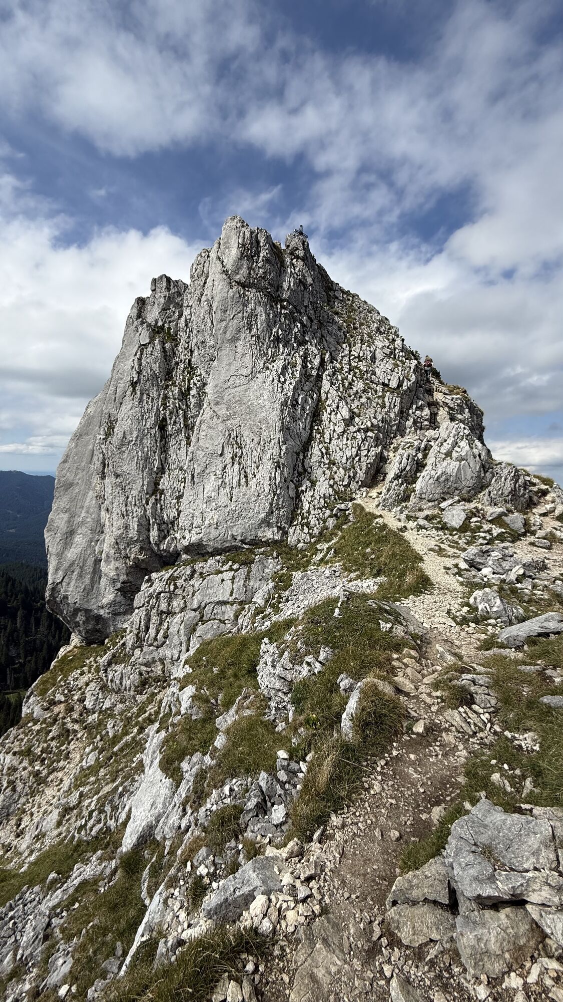
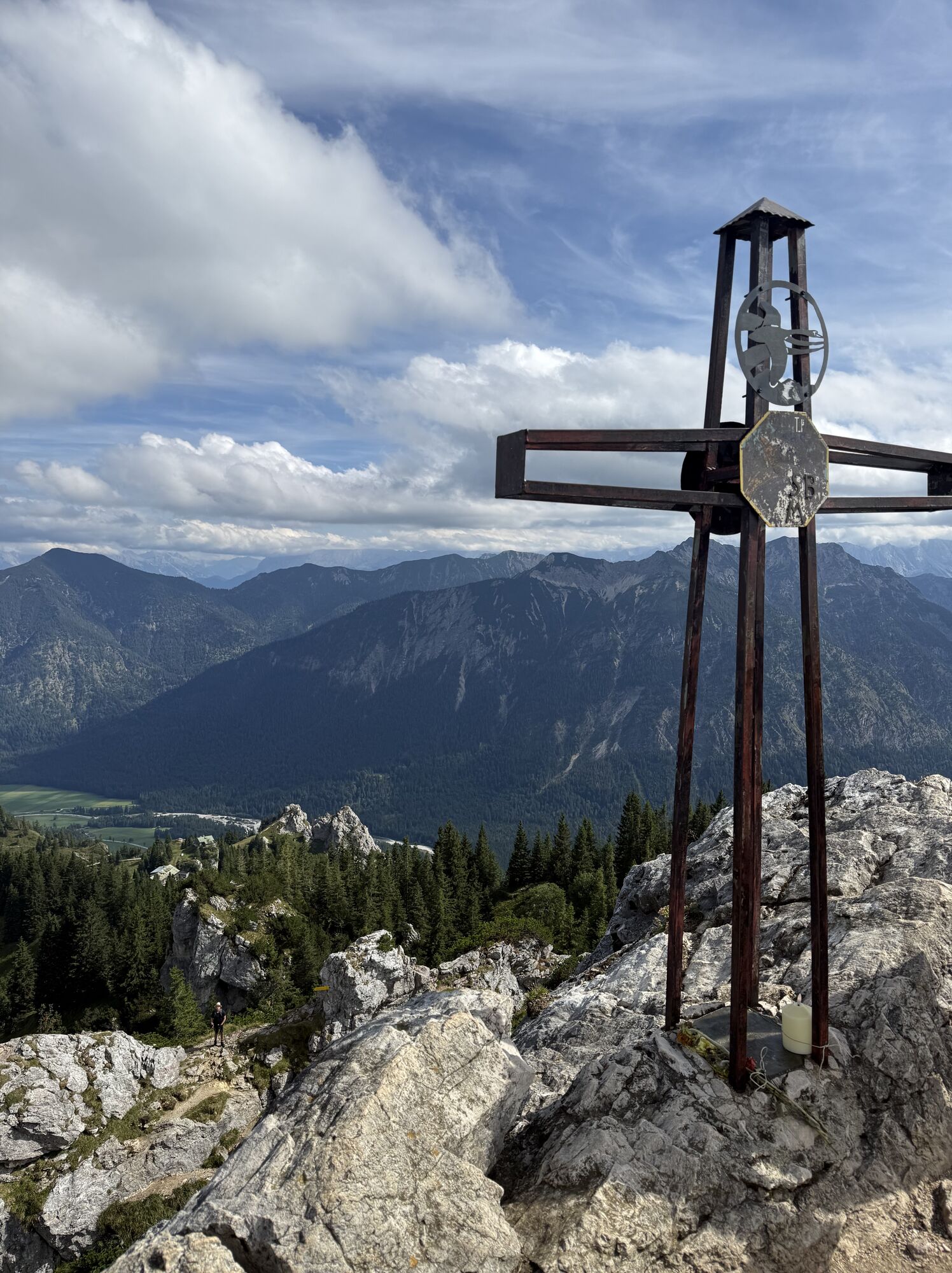
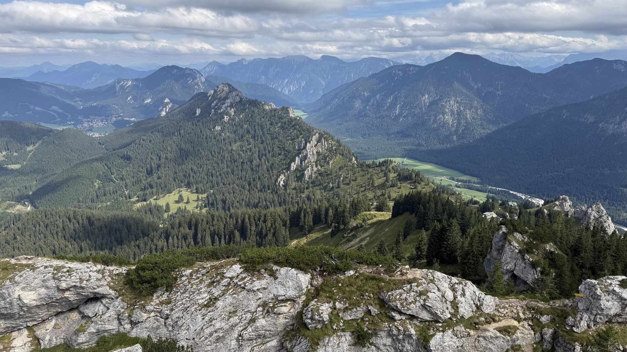
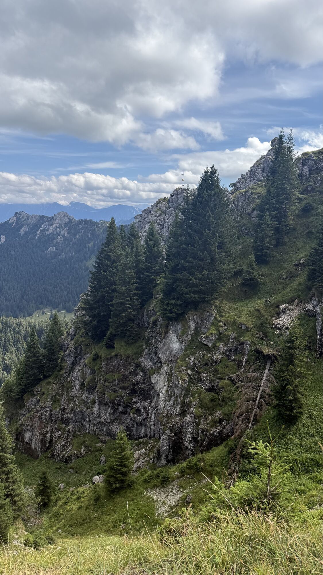
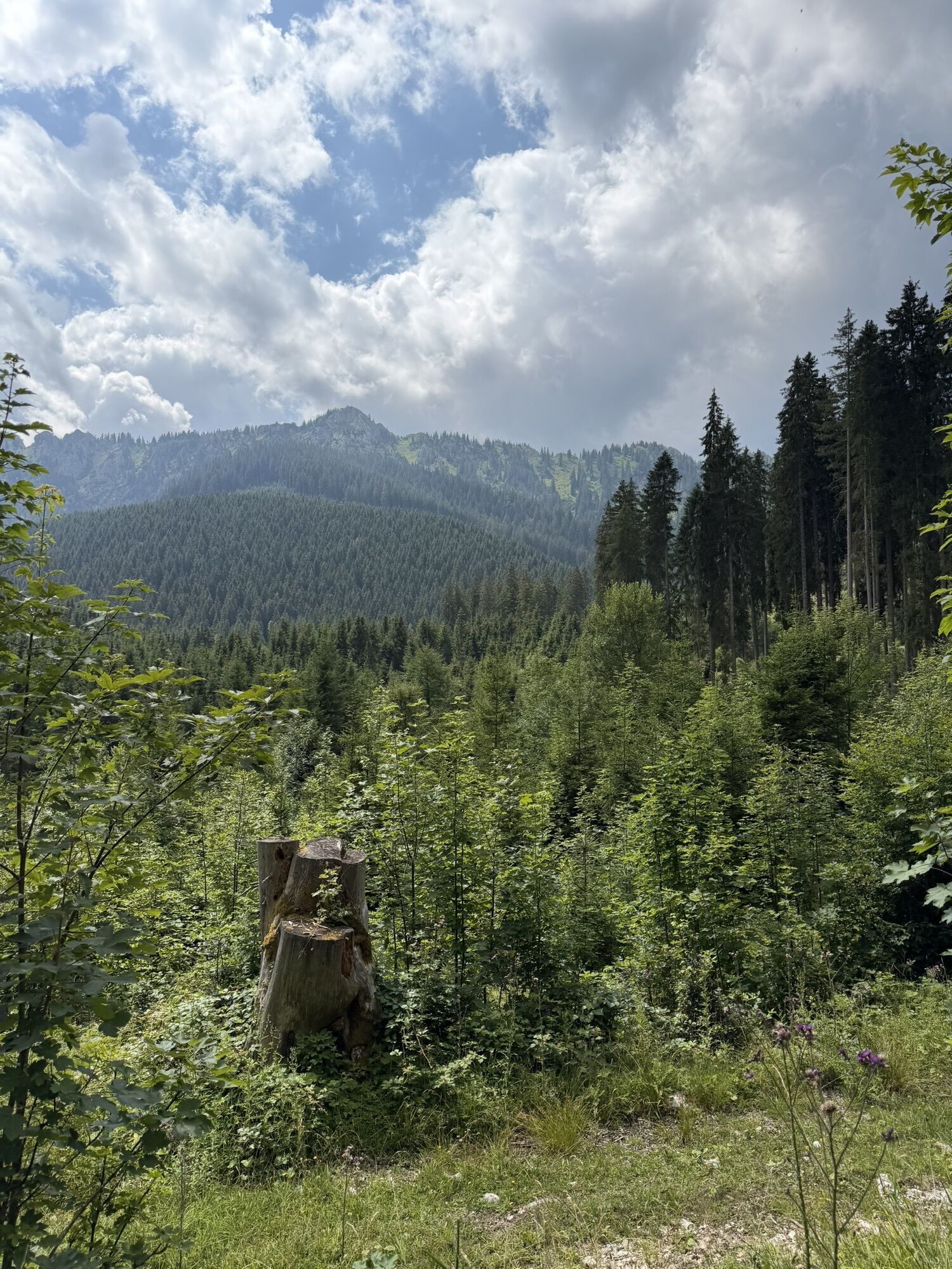
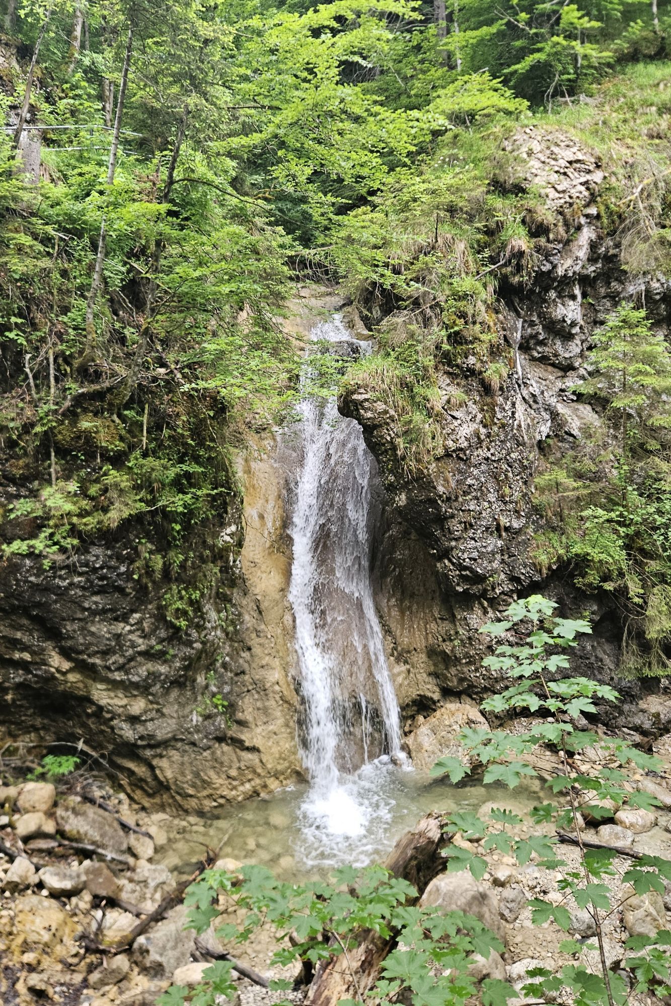
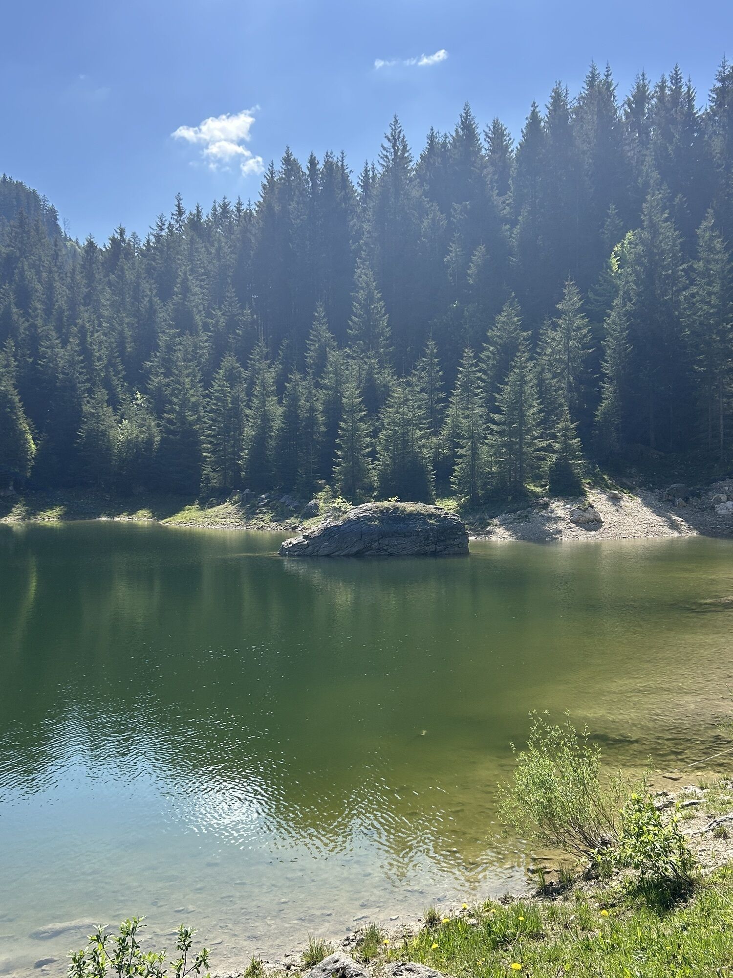
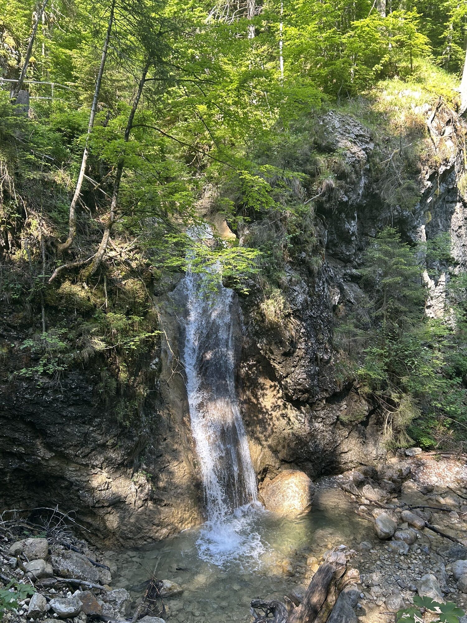
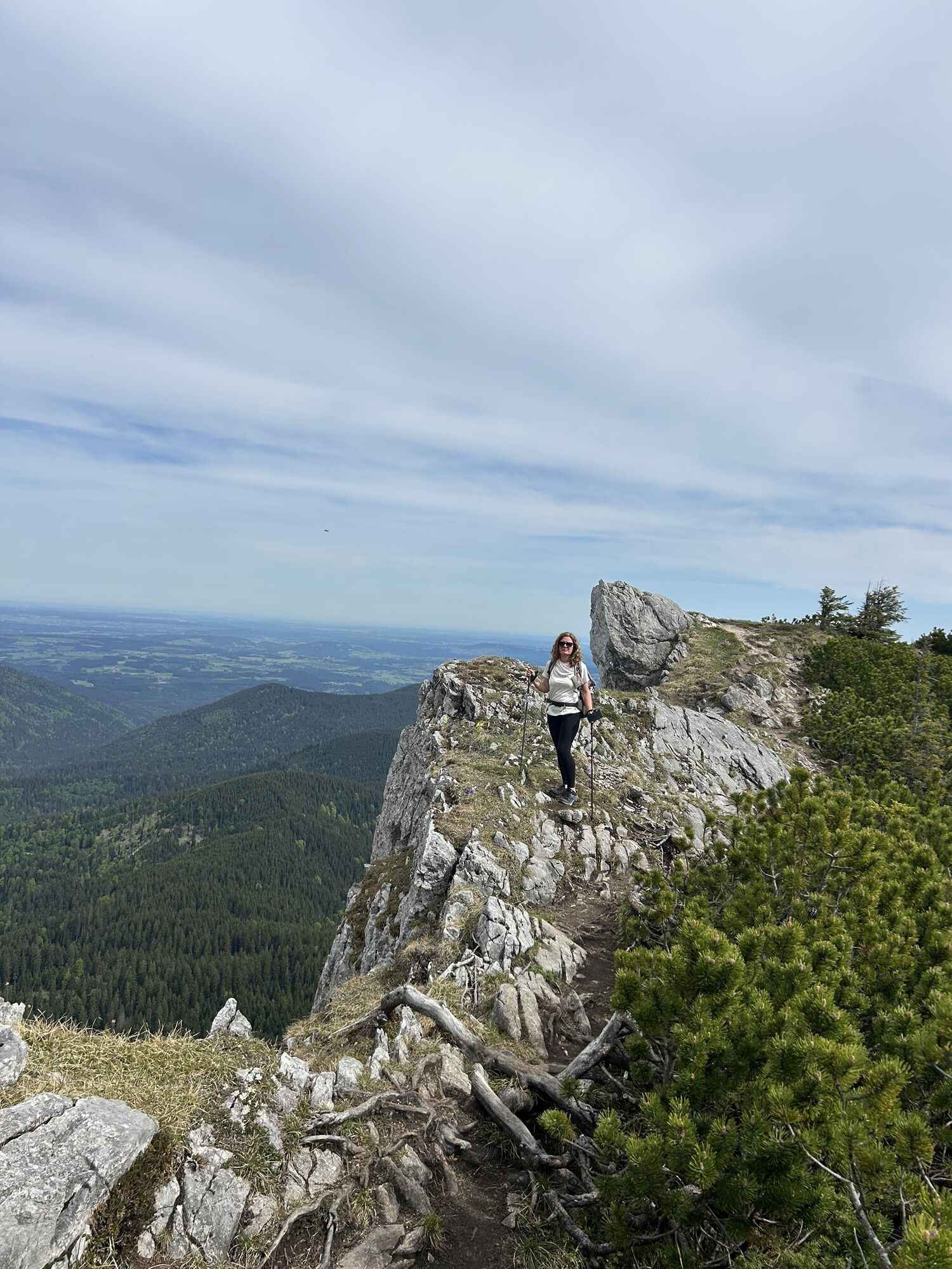
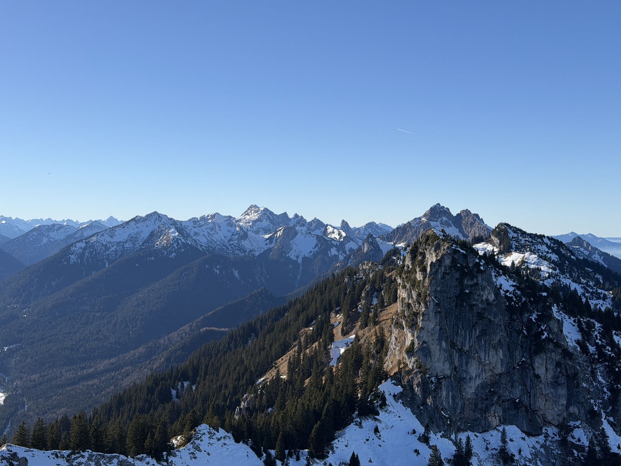
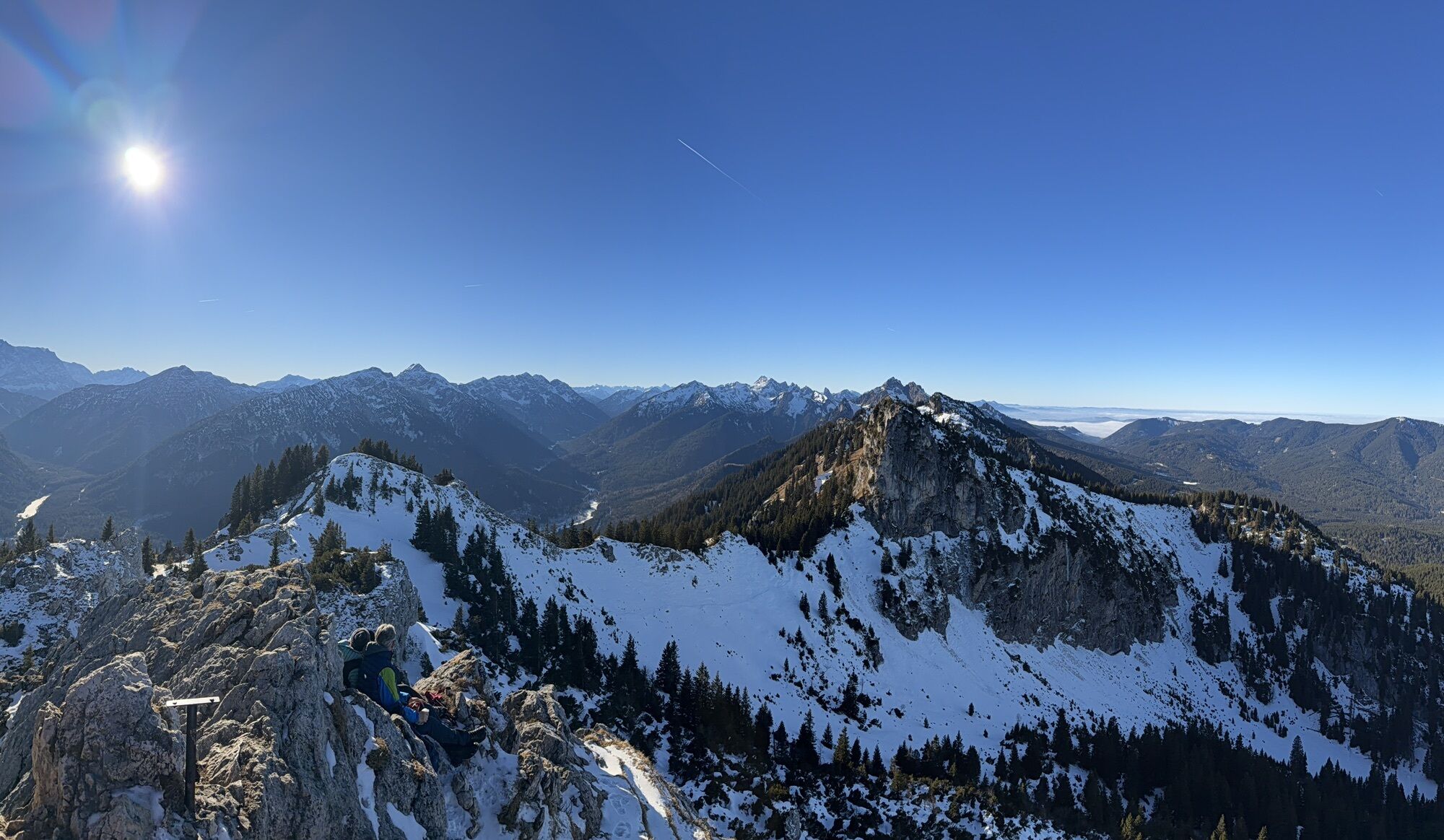
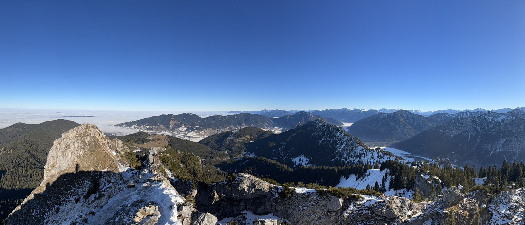
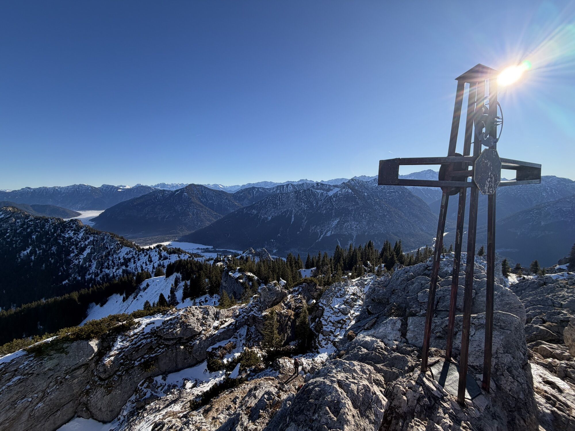
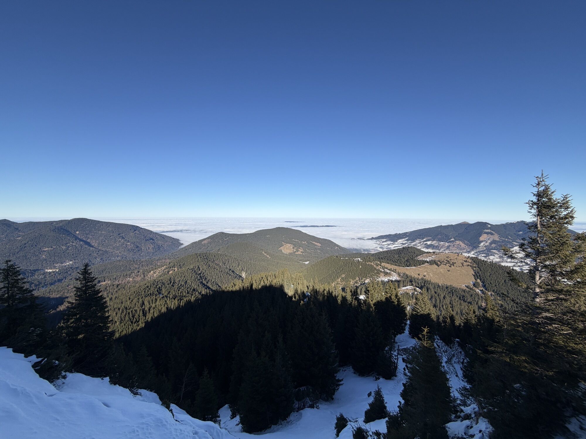
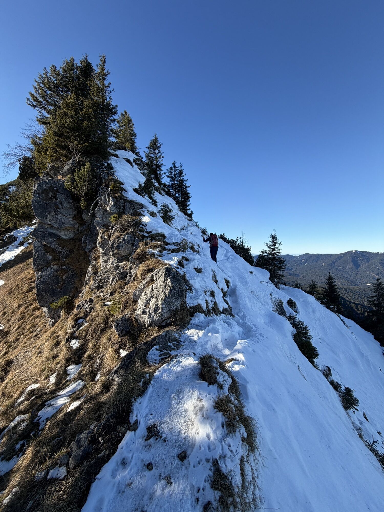

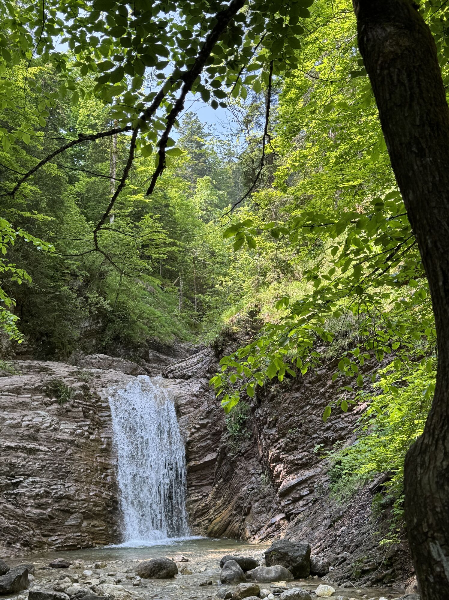
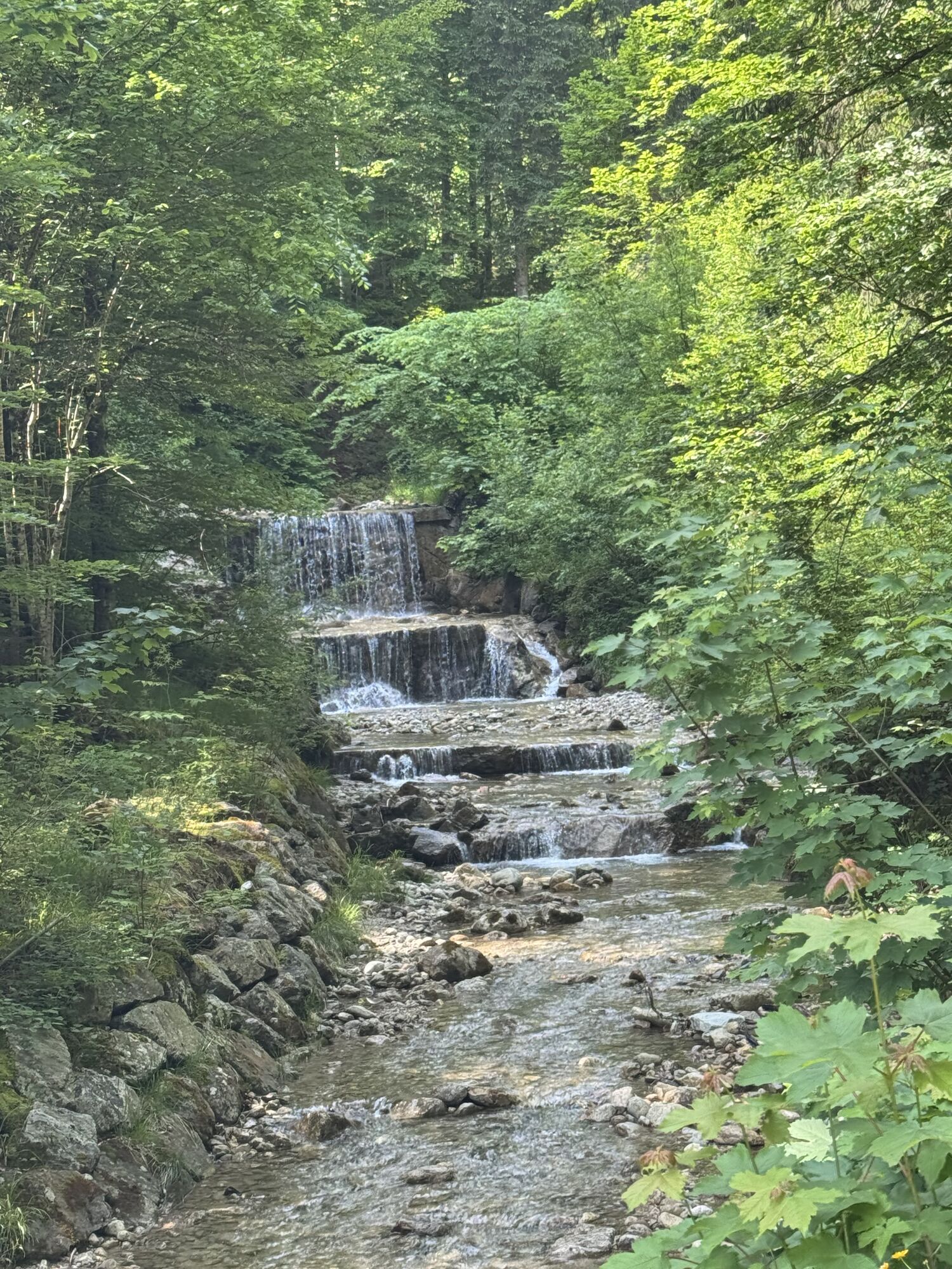
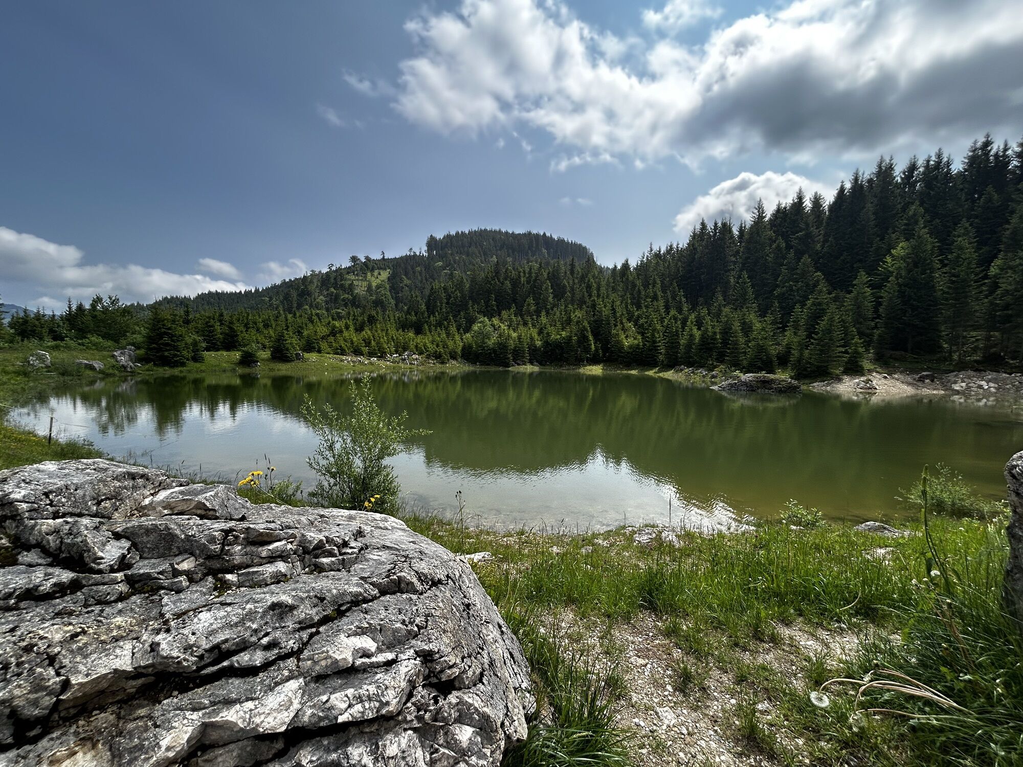
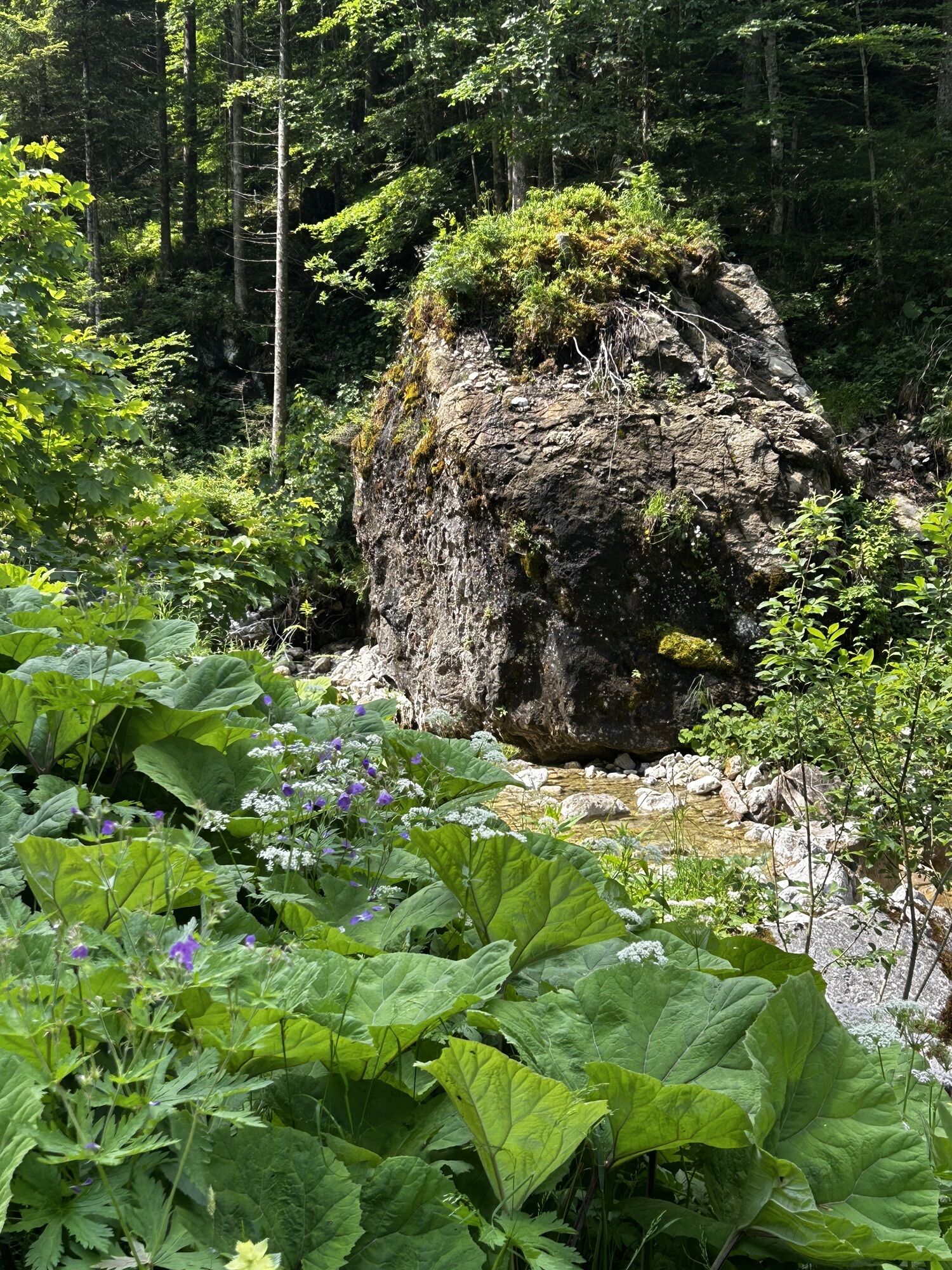
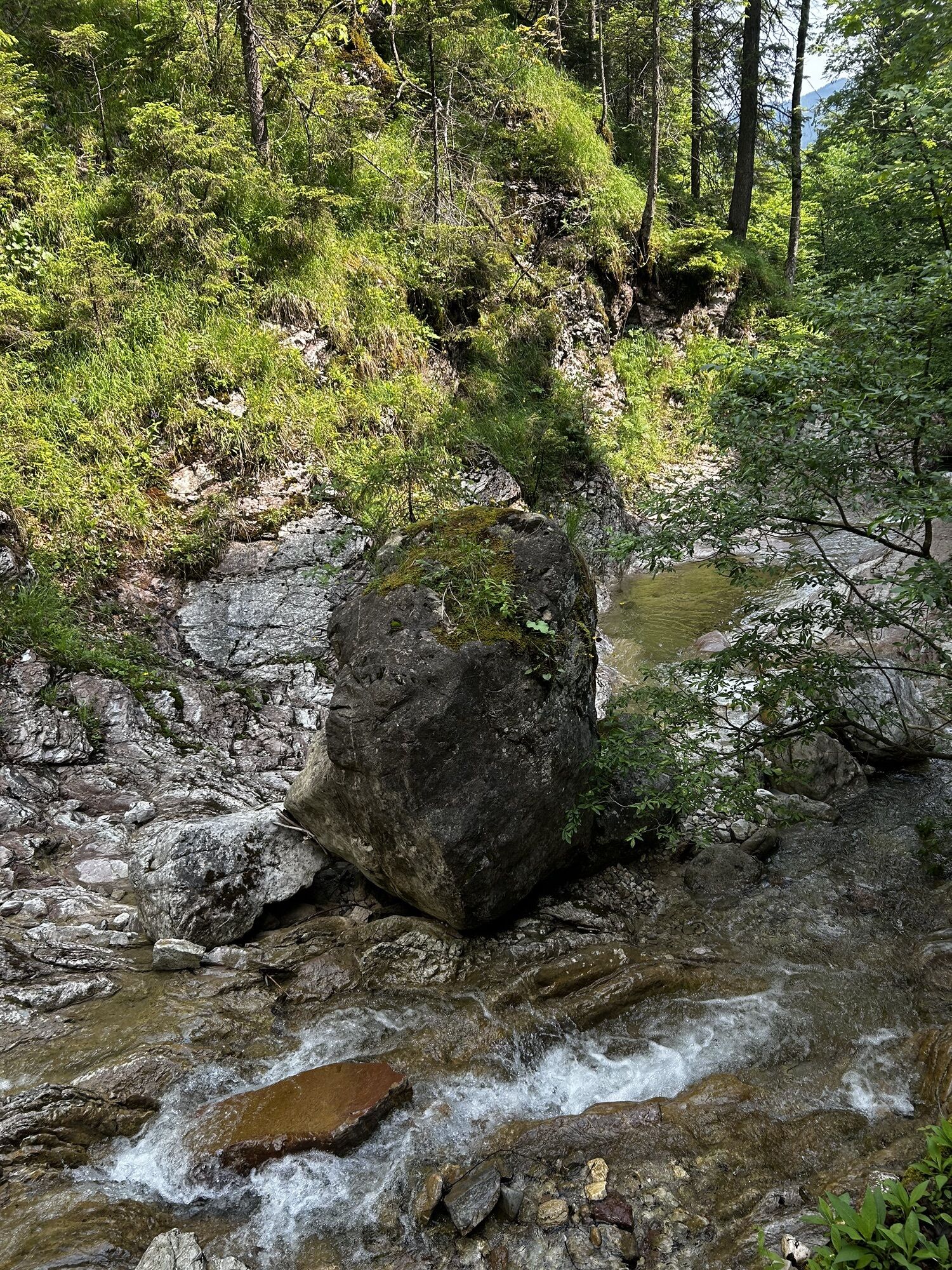
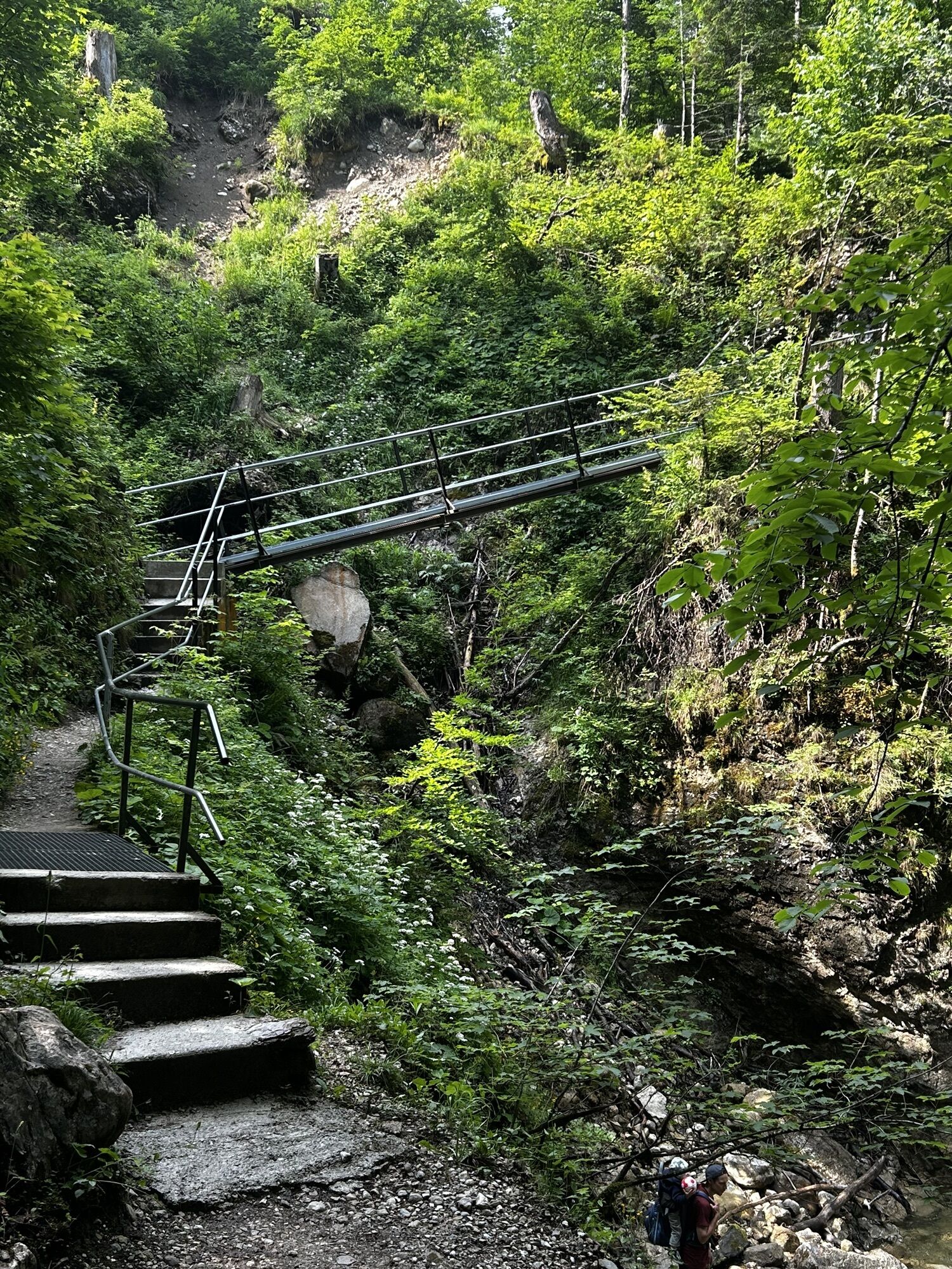
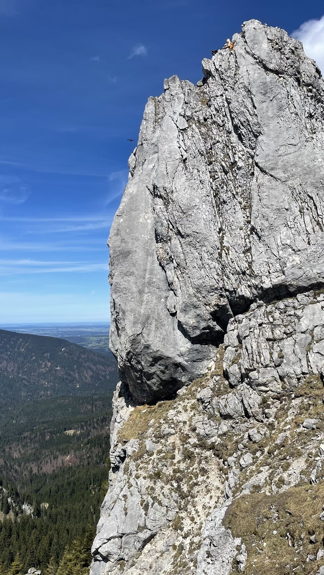
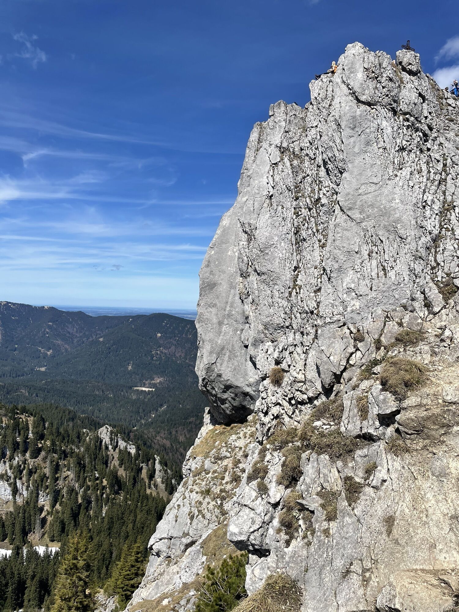
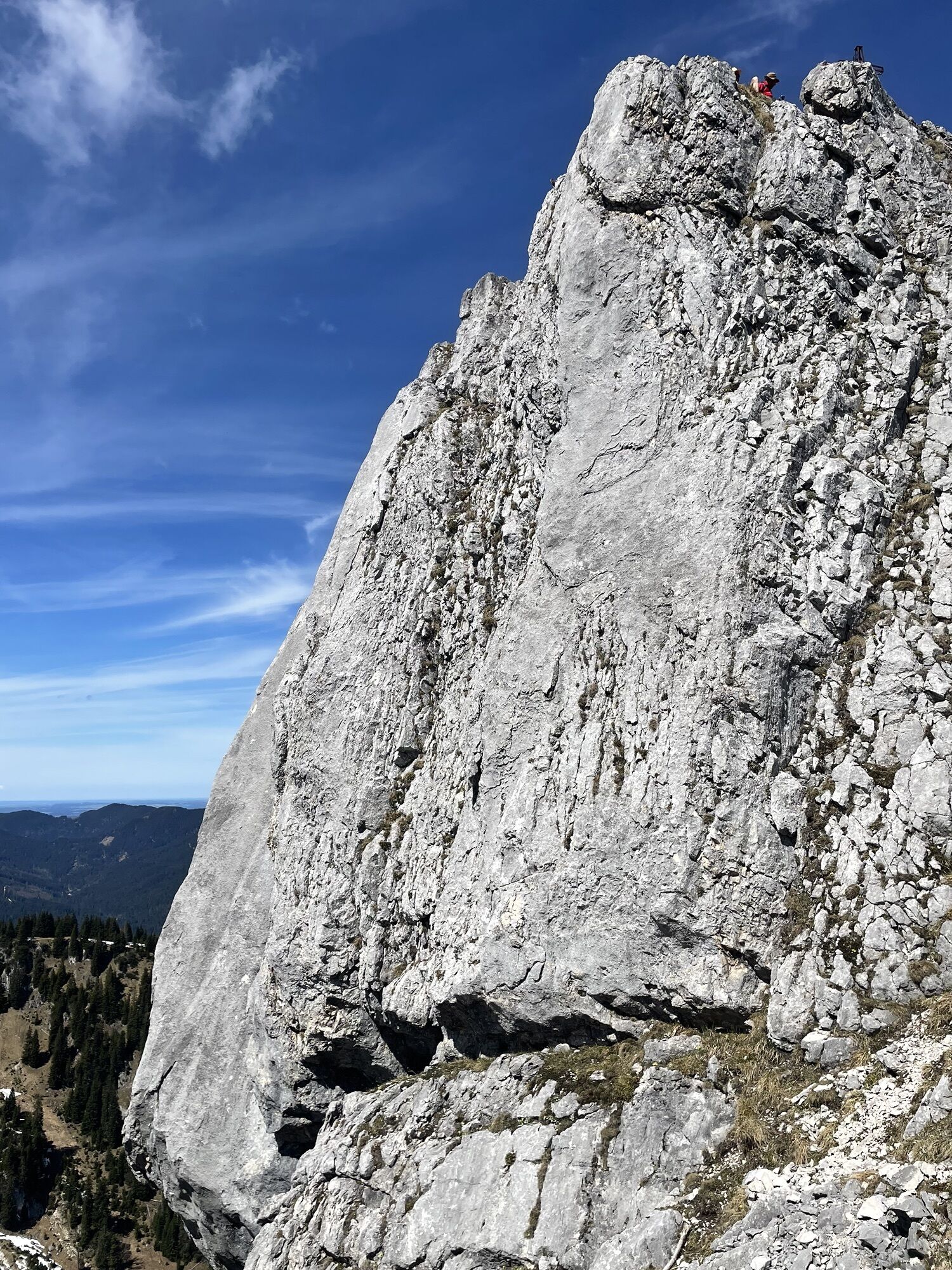

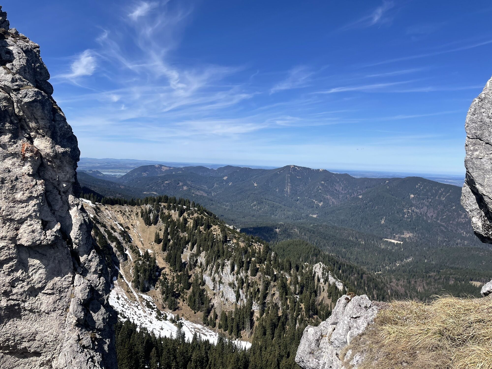
The local mountain of Unterammergau can almost always be climbed; the hut near the summit guarantees mountain wellness.
This route was created in 2015 within the project "Environmentally friendly ski...
The local mountain of Unterammergau can almost always be climbed; the hut near the summit guarantees mountain wellness.
This route was created in 2015 within the project "Environmentally friendly ski mountaineering" by the German Alpine Club in cooperation with local representatives (forestry, hunting and farmers).
Please do not enter or drive into the winter protection areas!

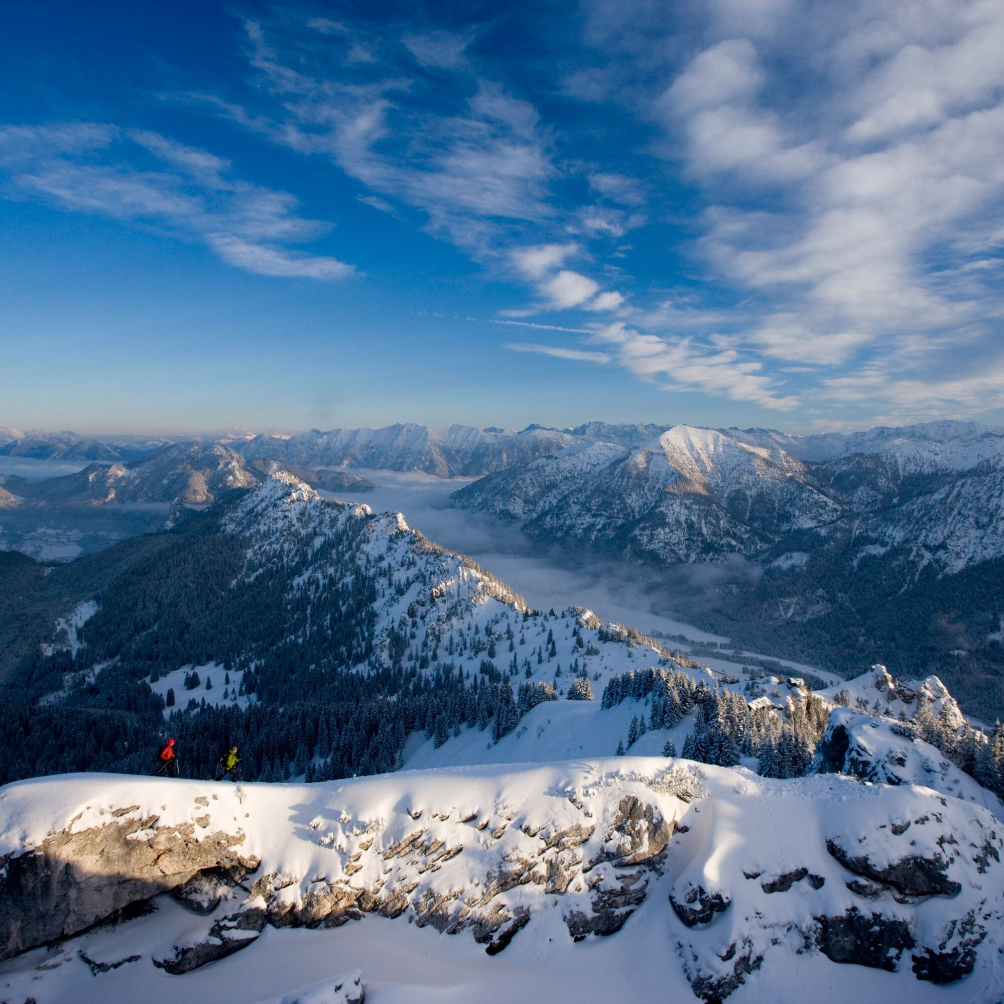
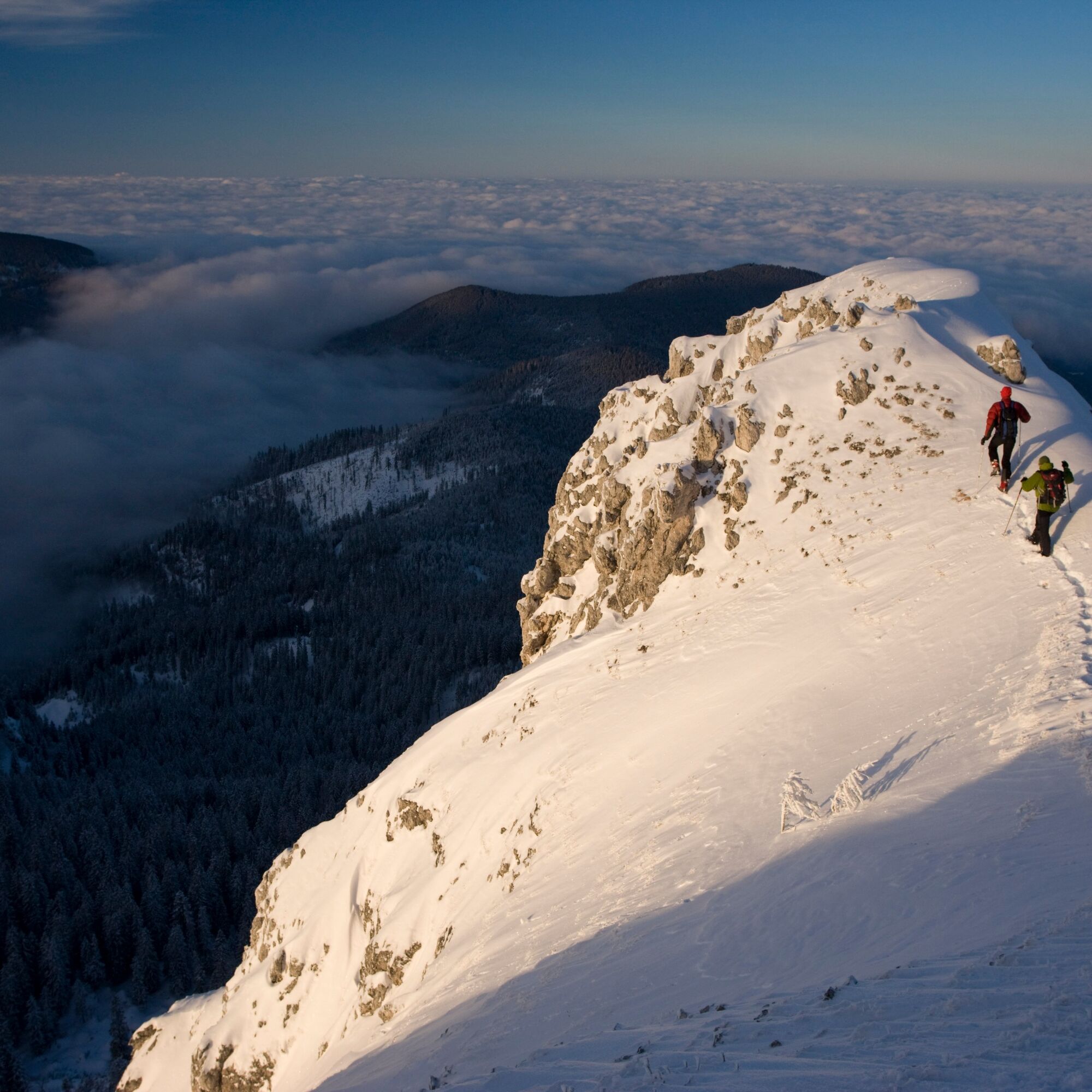

The start of the route is the hiking car park at Steckenberg in Unterammergau. From the car park, you walk leisurely along the forest road at Schleifmühlenbach heading towards Pürschlingshaus/August Schuster House.
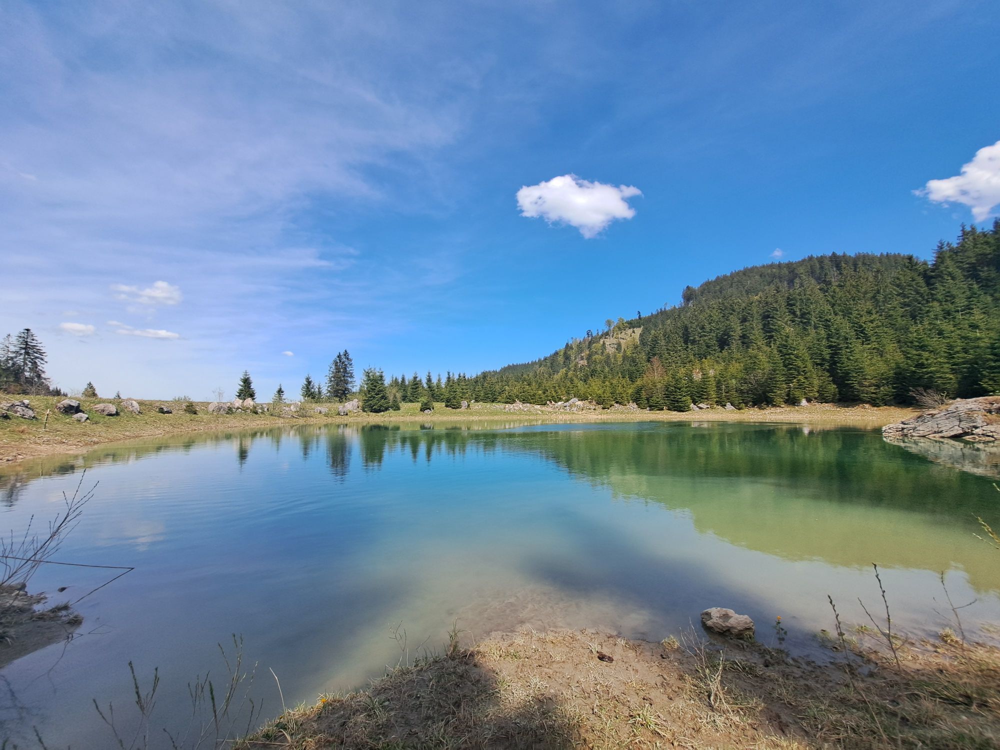
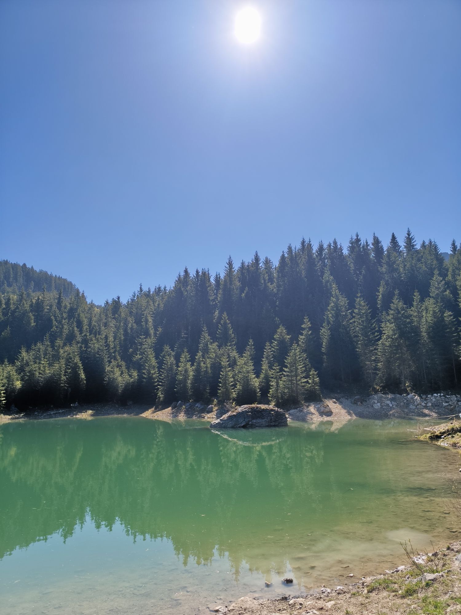
At the first junction, keep right and continue over the bridge along the forest road. Before the road descends left towards Langes Thal, leave it to the right. (Reservoir)
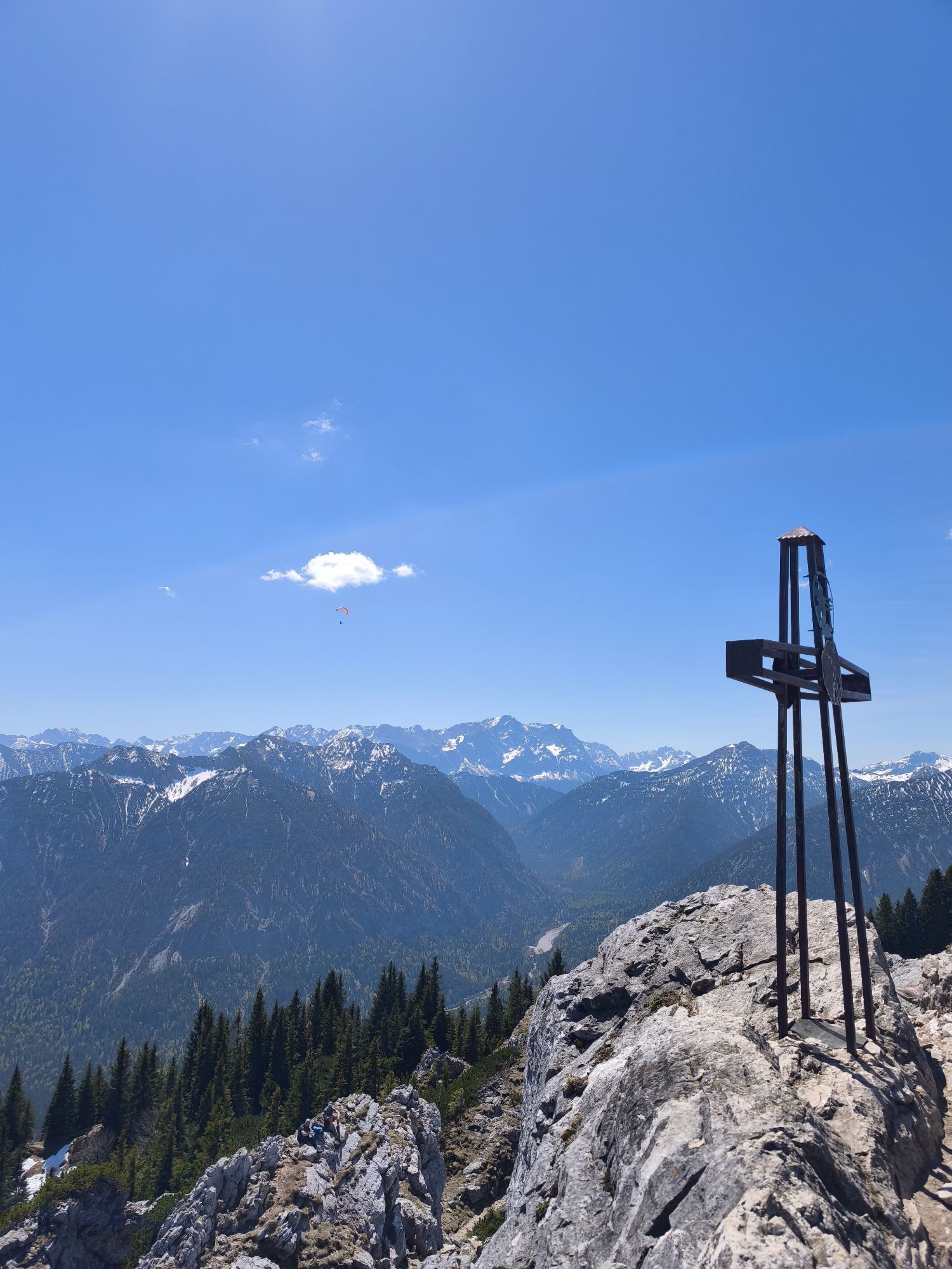
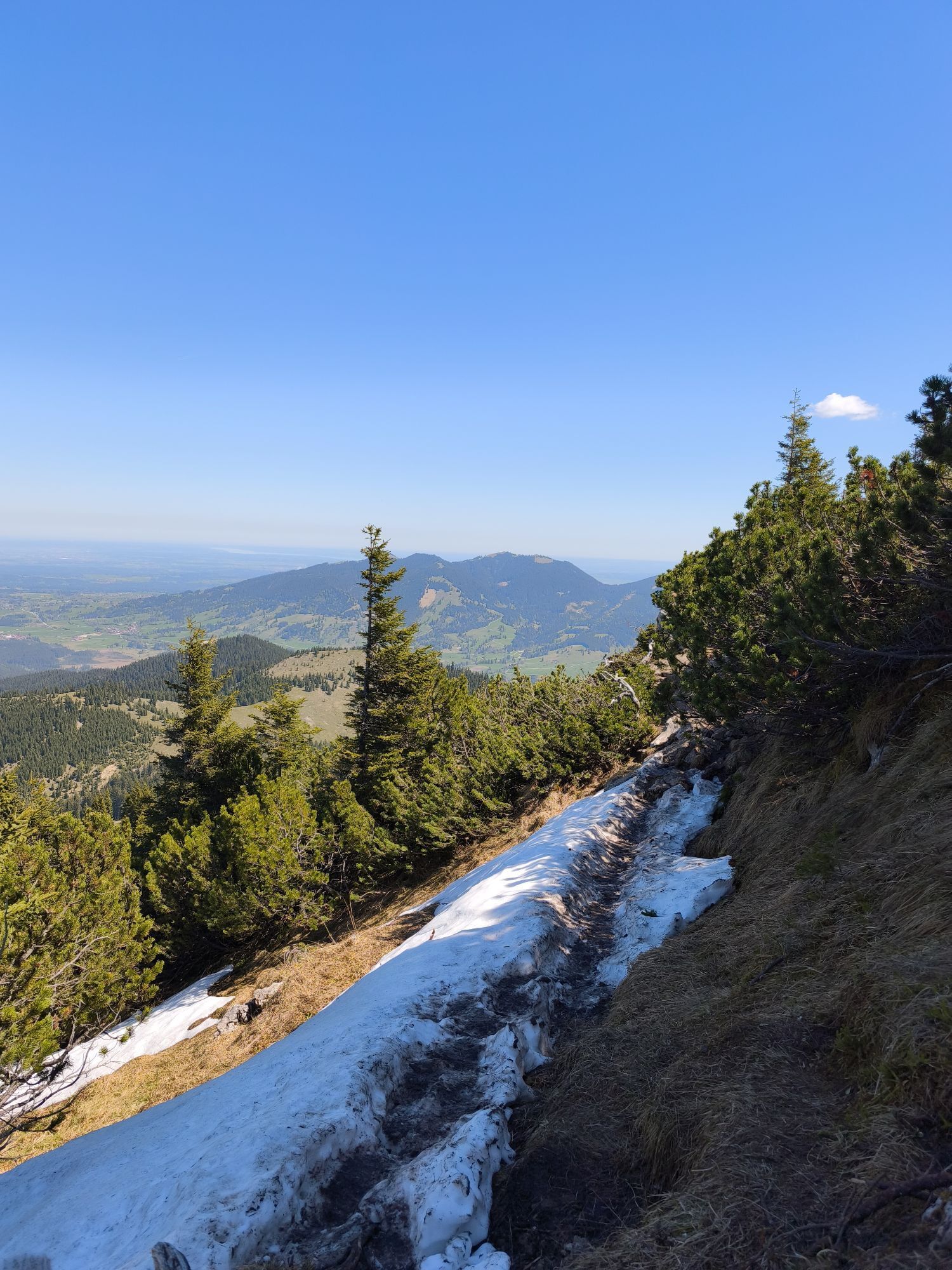
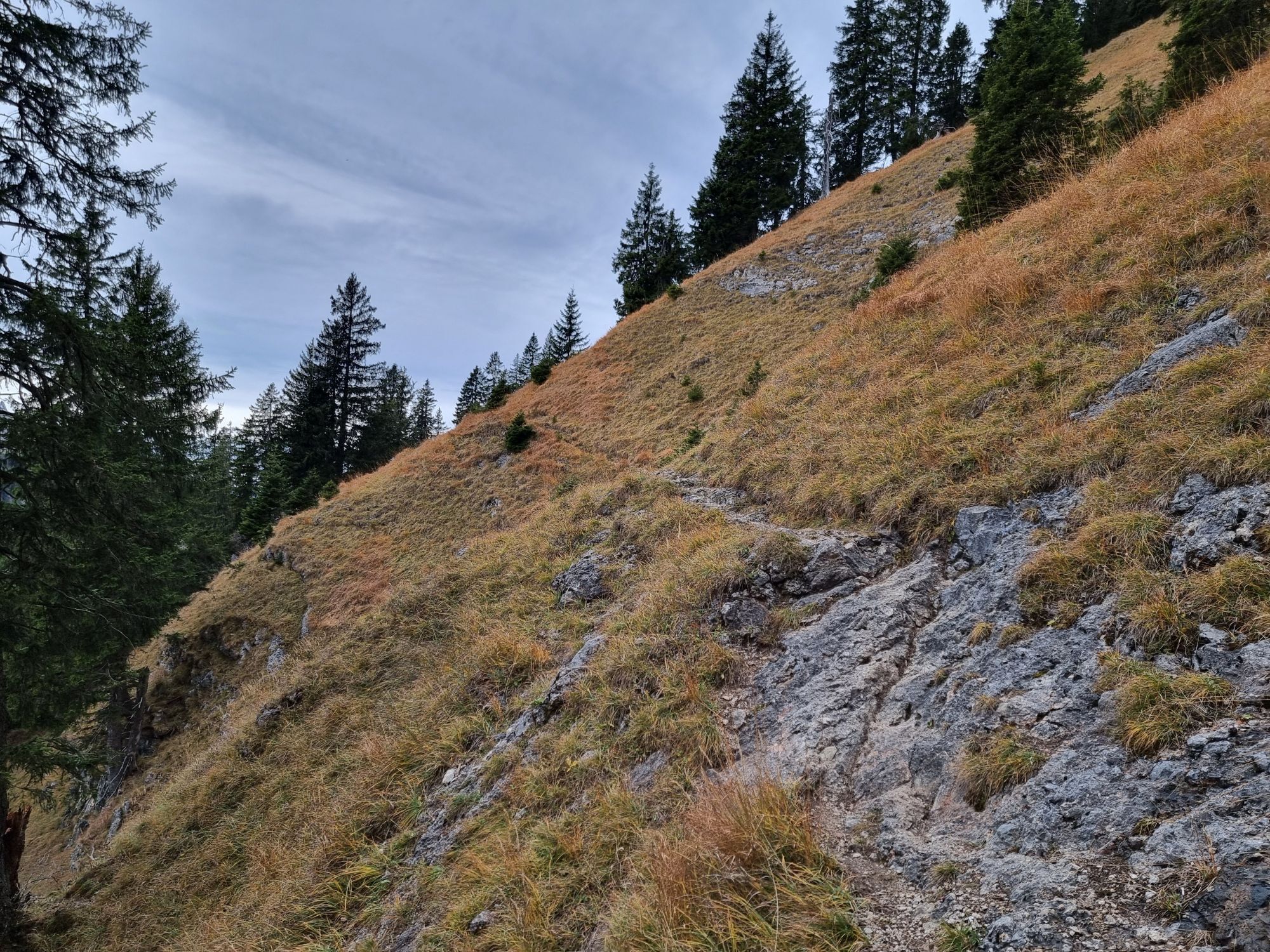
Through high forest you hike up until you reach the open area at Kuhalm. Here turn left to the south towards Teufelstättkopf. Over a steep ridge, you reach the open ridge in many hairpin bends and then the summit of Teufelstättkopf.
In good conditions and with enough snow, you can start the descent from the ski depot directly into the White Valley. Further down, after a short section along the Kurztalgraben, you meet the ascent path again and return along it to the starting point.
Tak
With the perfect equipment, your personal winter day in the Ammergau Alps Nature Park will be unforgettable. The appropriate winter equipment such as crampons (spikes for hiking boots), hiking poles, snowshoes, sledges or cross-country skis can be rented from our partners depending on the offer:
Tourist-Info Bad Bayersoien
Address: Dorfstr. 45 - 82435 Bad Bayersoien
Tel.: +49 8845 7030 620
Drahtesel Rental Lukas Spindler/ Sporthaus Mühlstraßer
Address: Theaterstraße 2 - 82487 Oberammergau
Tel.: +49 172 7228493
www.sport-muehlstrasser.de
www.bikeverleih-oberammergau.de
Sportzentrale Papistock
Address: Bahnhofstraße 6a, 82487
Tel.: +49 8822 4178
www.sportzentrale-papistock.de
Please always observe the avalanche warning report: www.lawinenwarndienst-bayern.de
In an emergency, please contact the nearest rescue control center. Regardless of location, you can reach them Germany-wide under the telephone number 112.
A95, B23 via Ettal, Oberammergau to Steckenberg in Unterammergau
Bus stop: Unterammergau Town Hall (20 min walk to the starting point)
9606 Garmisch-Partenkirchen - Oberammergau - Wieskirche - Füssen
Train station: Bhf Unterammergau
Murnau - Oberammergau
Guests of the Ammergau Alps region travel free by bus and train with the electronic guest card or KönigsCard
e-car sharing in the Ammergau Alps Nature Park
Car park Pürschling, Unterammergau
large alternative car park
Car park Breitenau


Aktywności na trasie
-

Unterammergau, Bayern/Deutschland
06.09.2026 – Wędrówka -

Unterammergau, Bayern/Deutschland
01.09.2026 – Wycieczki górskie -
Unterammergau, Bayern/Deutschland
30.08.2026 – Wędrówka -
Unterammergau, Bayern/Deutschland
29.05.2026 – Wędrówka -
Unterammergau, Bayern/Deutschland
03.05.2026 – Wędrówka -
Unterammergau, Deutschland
02.04.2026 – Narciarstwo -

Unterammergau, Bayern/Deutschland
22.02.2026 – Wędrówka -
Unterammergau, Bayern/Deutschland
12.10.2025 – Wędrówka -

Pürschlinghaus-Teufelstättkopf-Unterammergau
11.08.2025 – Wędrówka
Popularne wycieczki w okolicy
-
4,4
Kuhfluchtwasserfälle
średniWędrówka 1,32 km -
4,7
Mountain route - Laber via Soilasee
światłoWędrówka 11,8 km -
4,6
Mountain route - Teufelstättkopf
średniWędrówka 10,8 km -
4,8
Schafkopf
światłoWędrówka 10,2 km -
4,2
Mountain tour - Kofel
średniWędrówka 11,3 km -
4,7
Hochplatte
średniWędrówka 10,4 km -
4,6
Laber - Ettaler Mandl
światłoWędrówka 9,10 km -
4,9
Rundtour von Breitenau auf die Stepbergalm und über Gelbes Gewänd zurück
średniWędrówka 11,6 km -
4,6
Schönjöchl am Plansee
średniWędrówka 7,21 km -
4,6
Wank / Garmisch-Partenkirchen
średniWędrówka 11,8 km
Wędrówki i tropienie


Nie przegap ofert i inspiracji na następne wakacje
Twój adres e-mail została dodana do listy mailingowej.





