







Snowshoe hike - From Bad Kohlgrub to Oberammergau
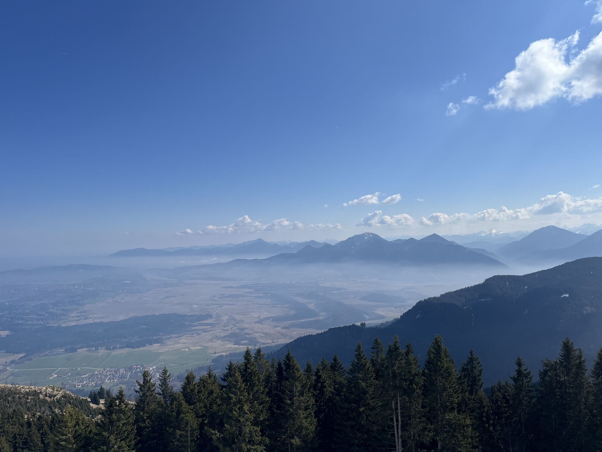
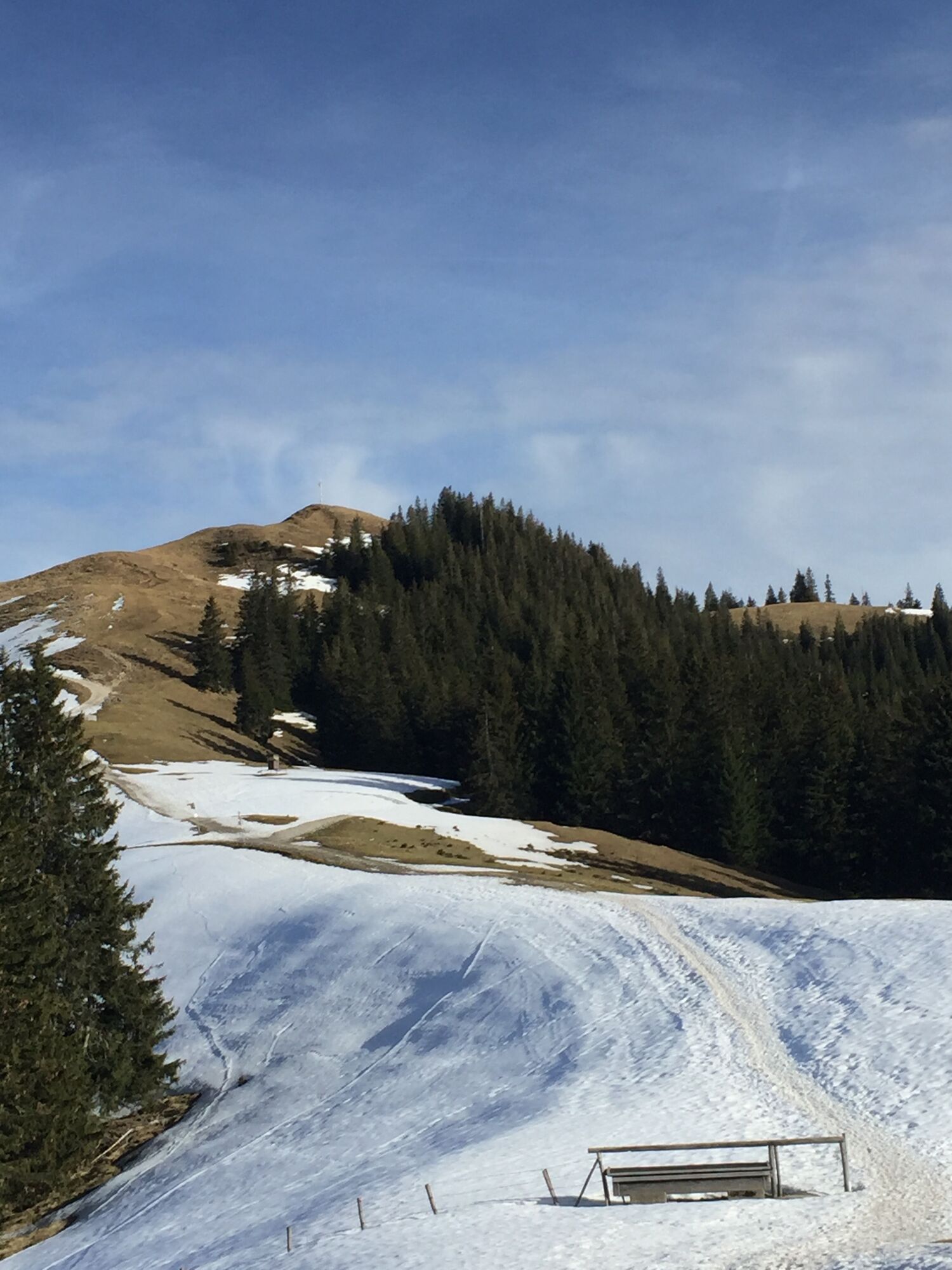
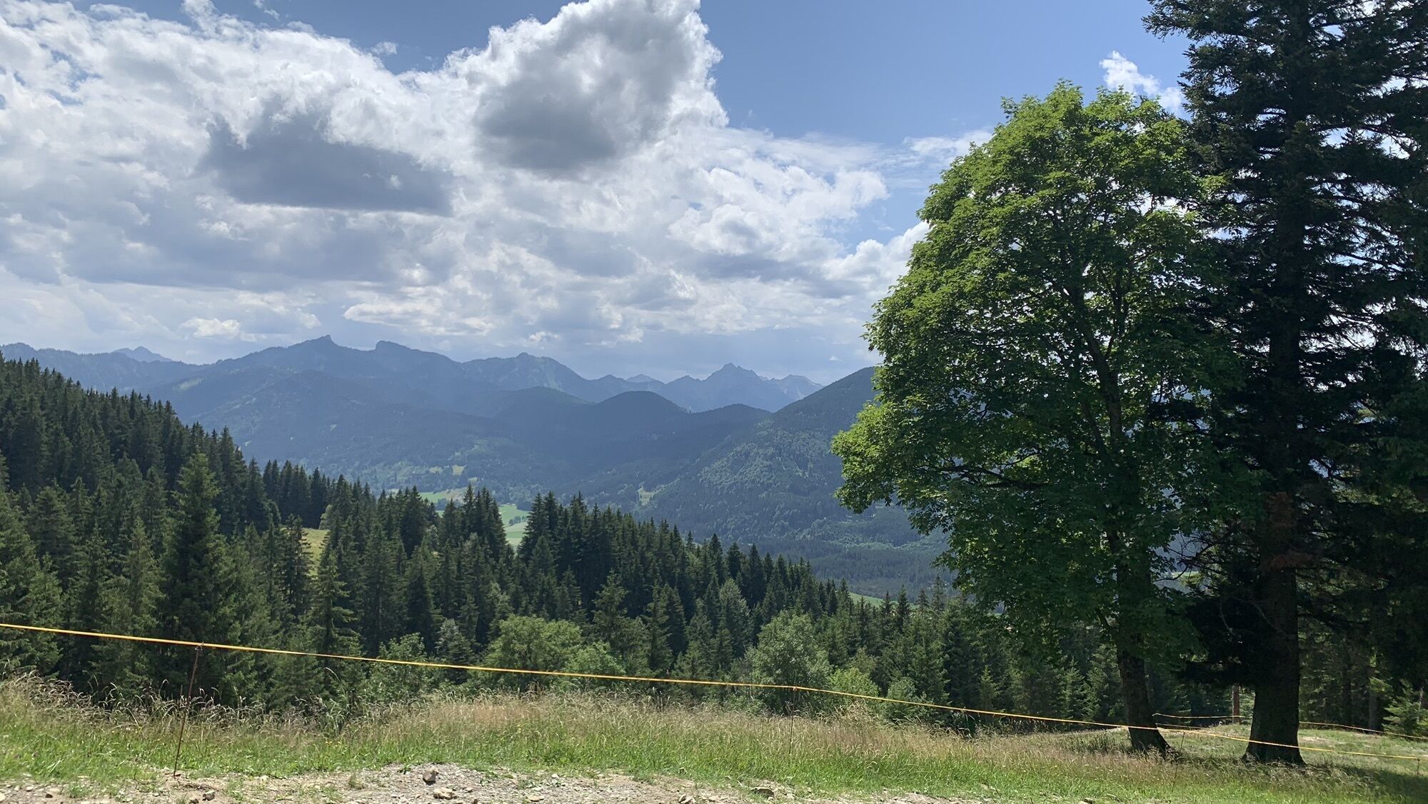
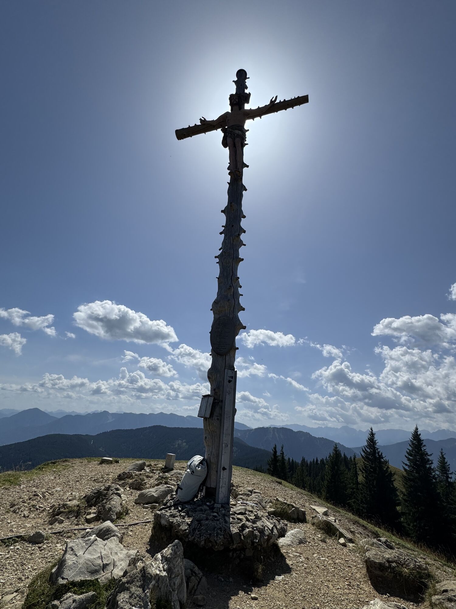
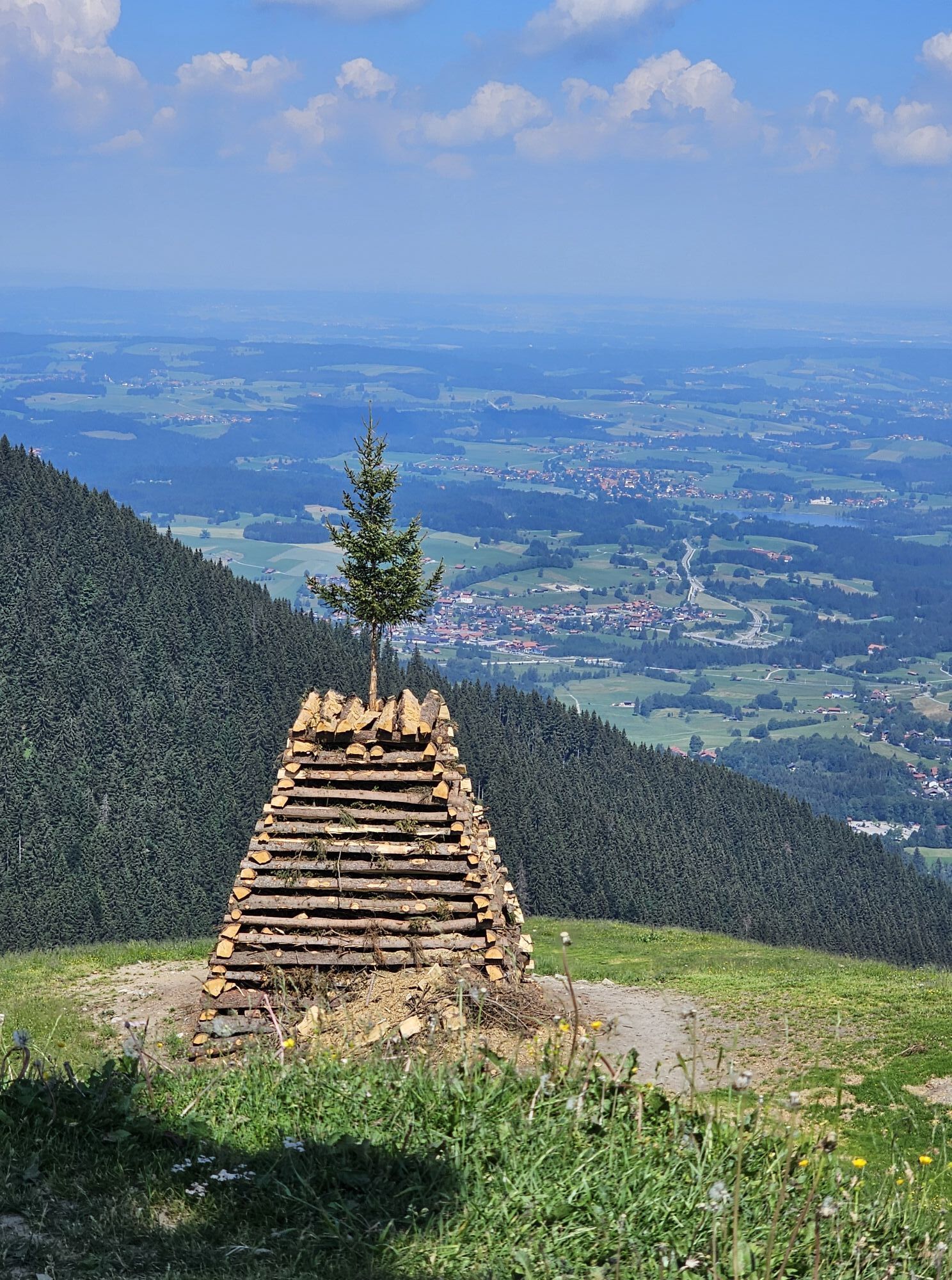
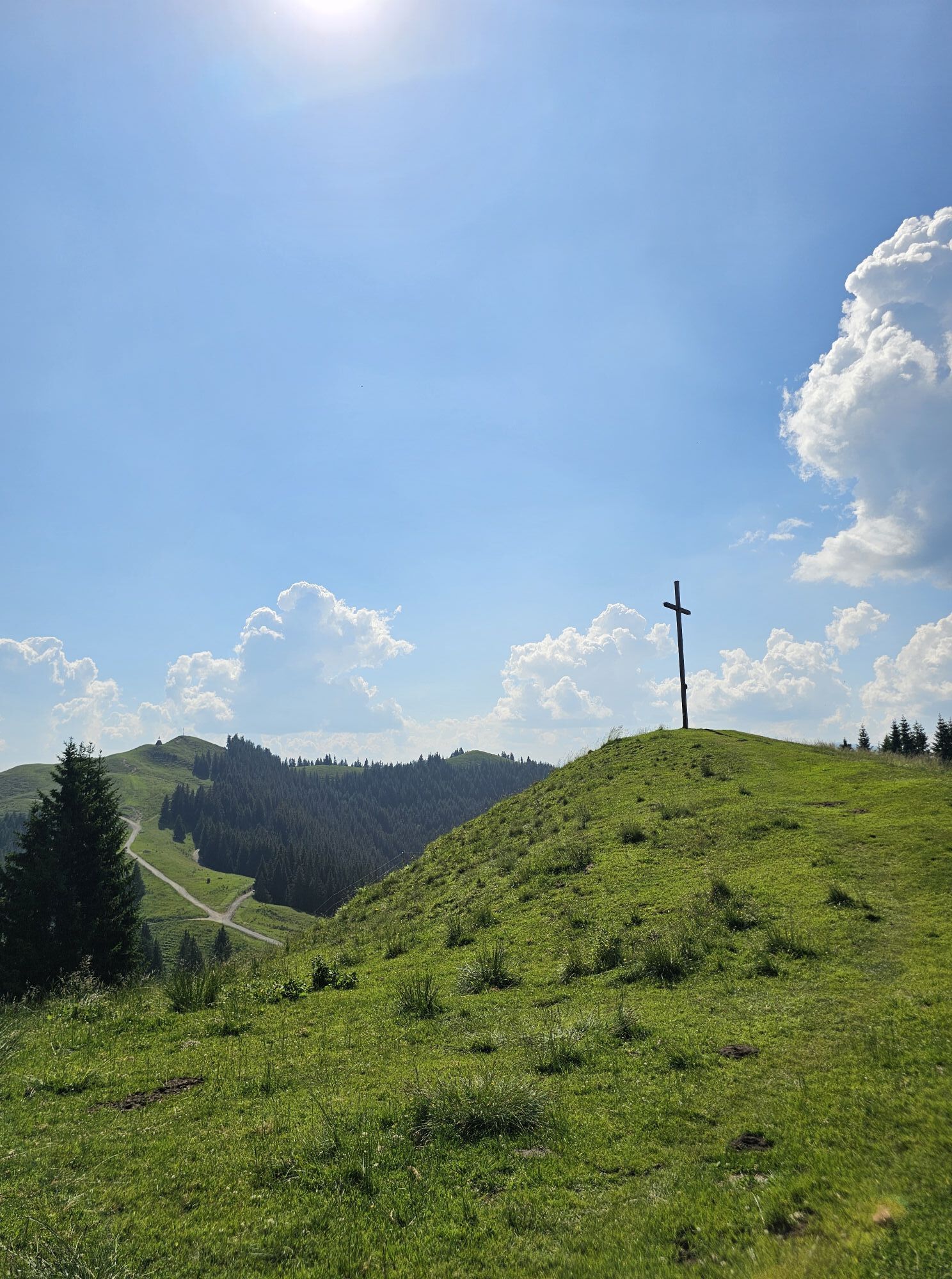
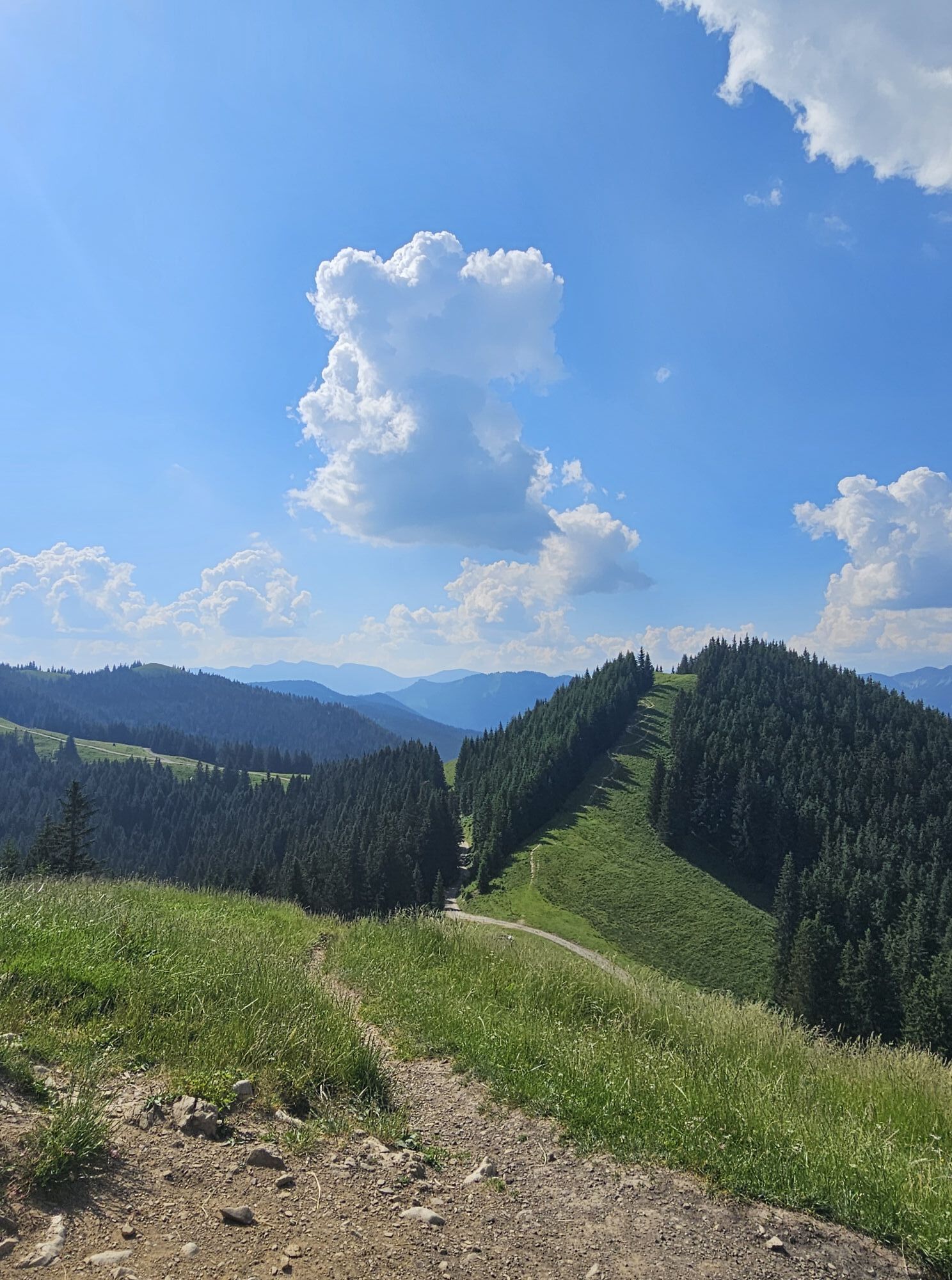
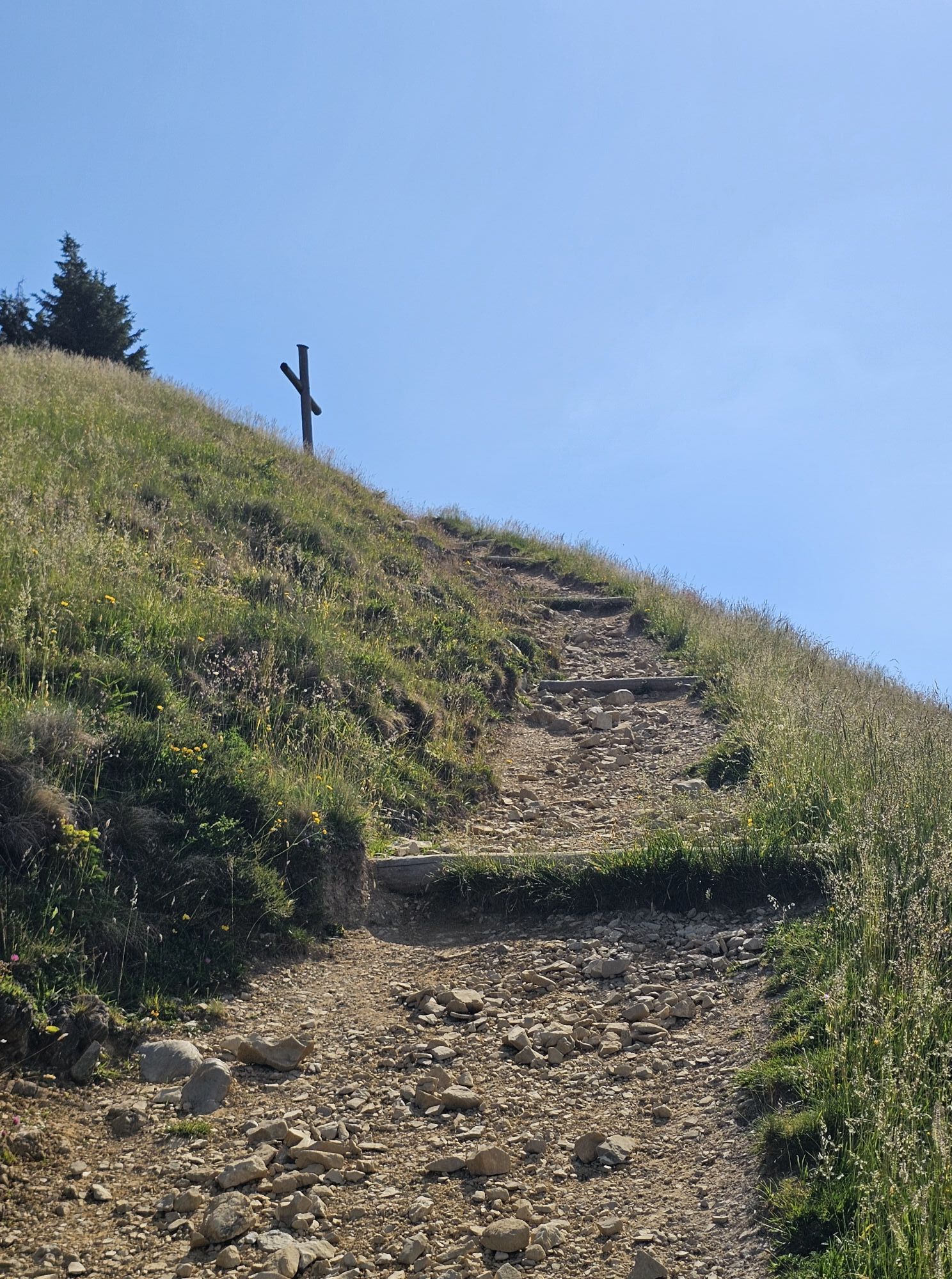
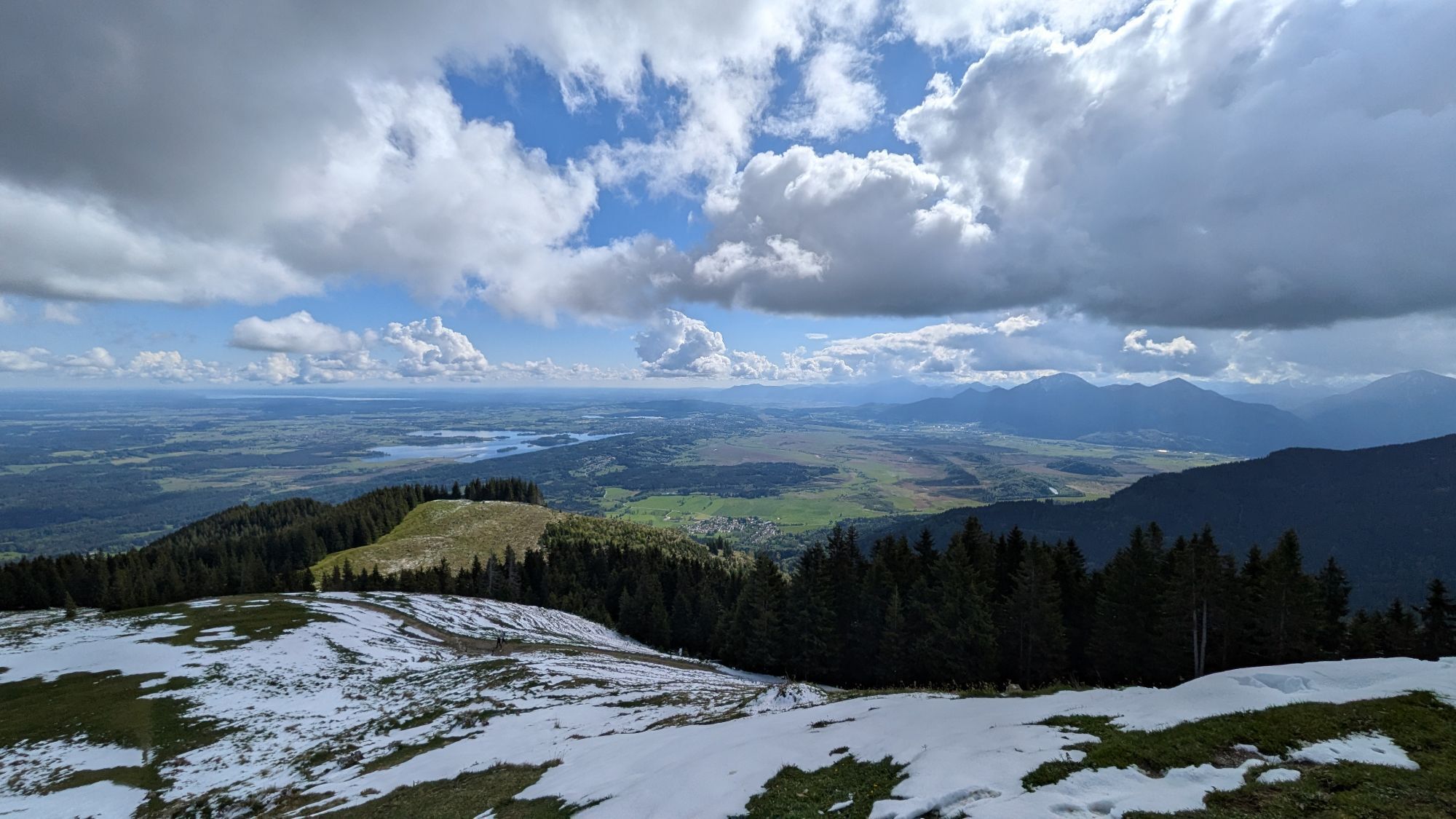
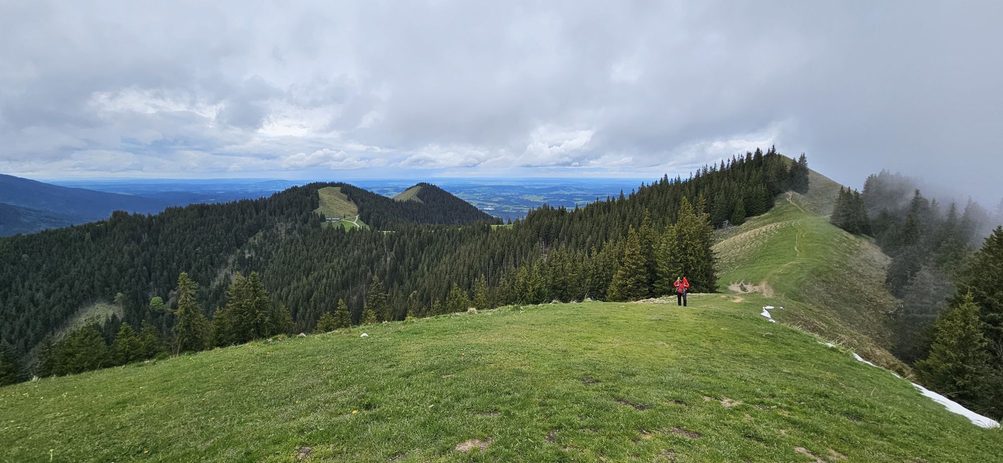
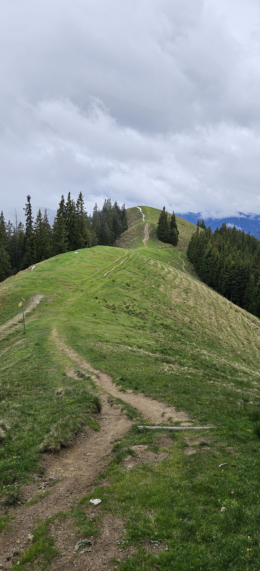
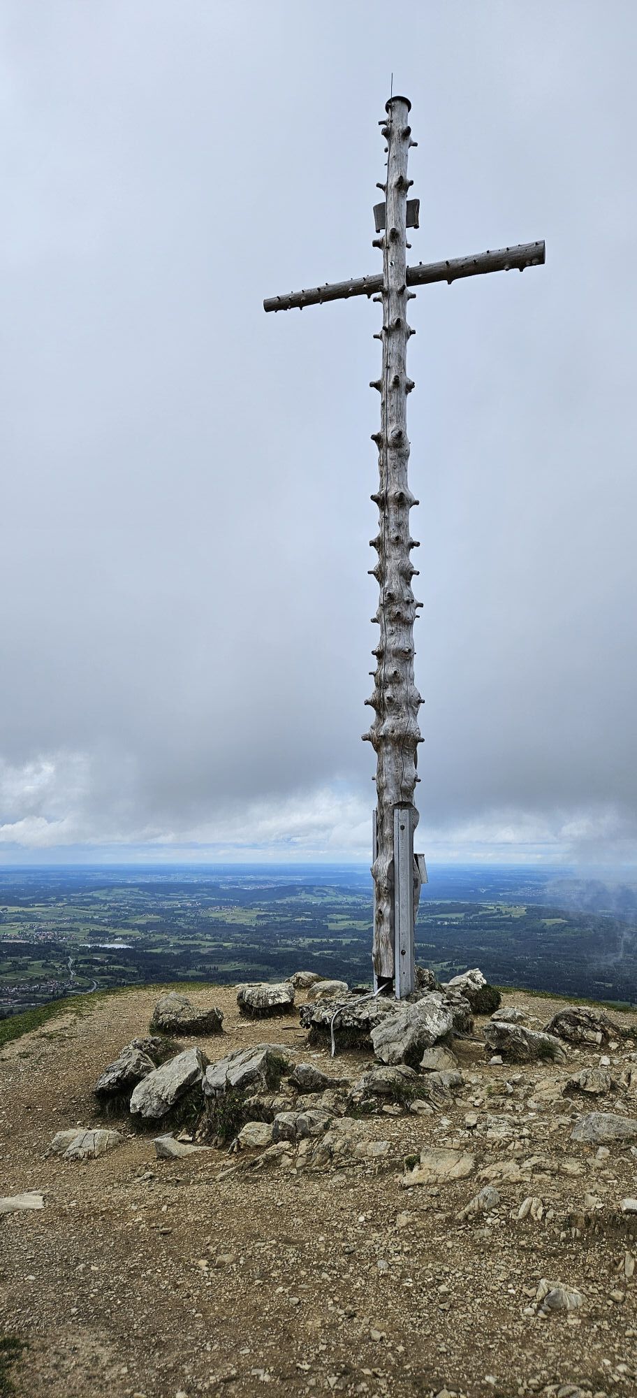
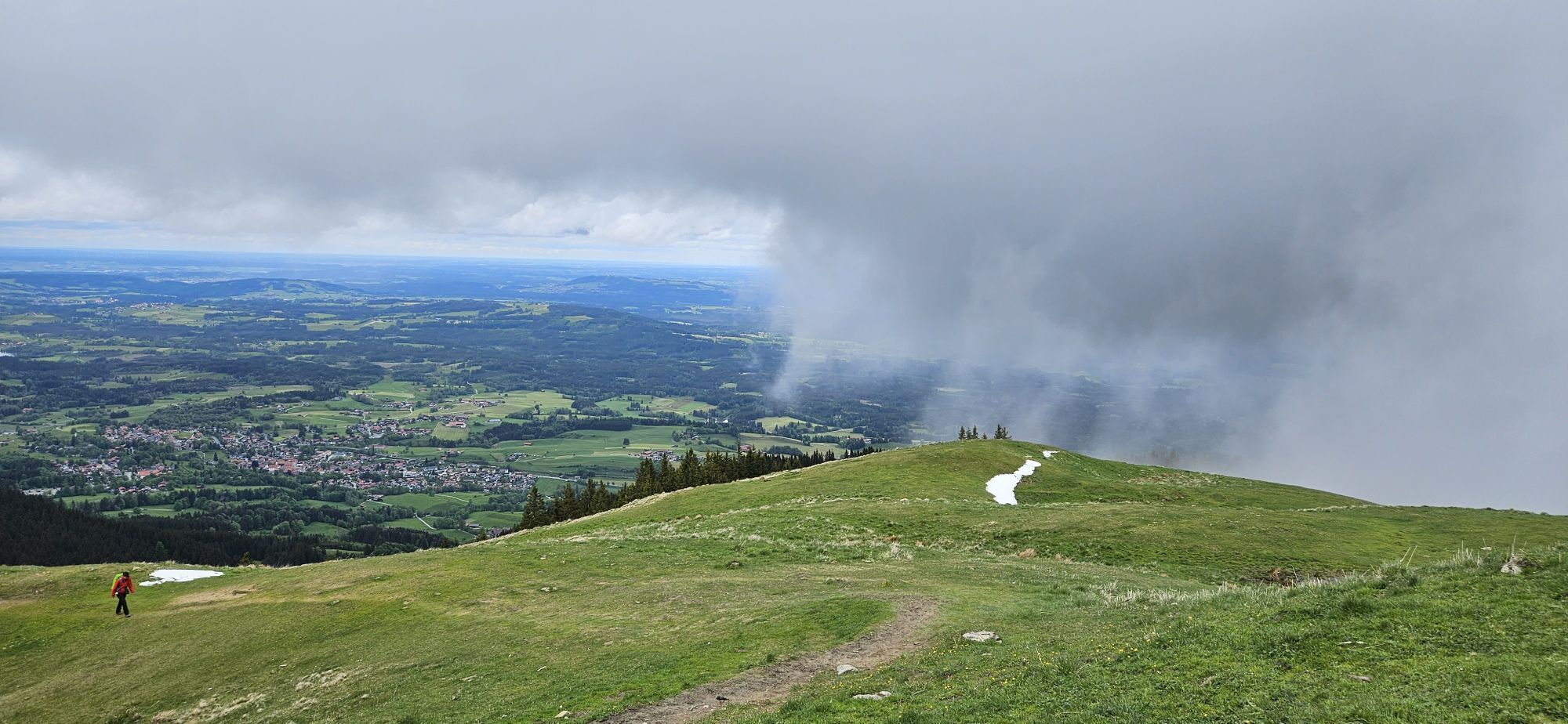
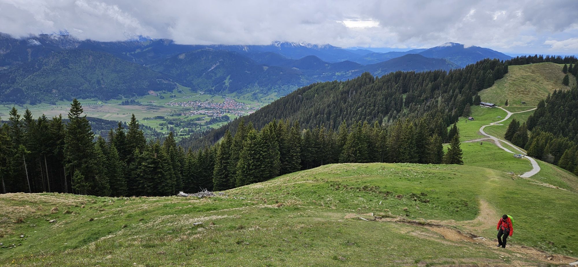
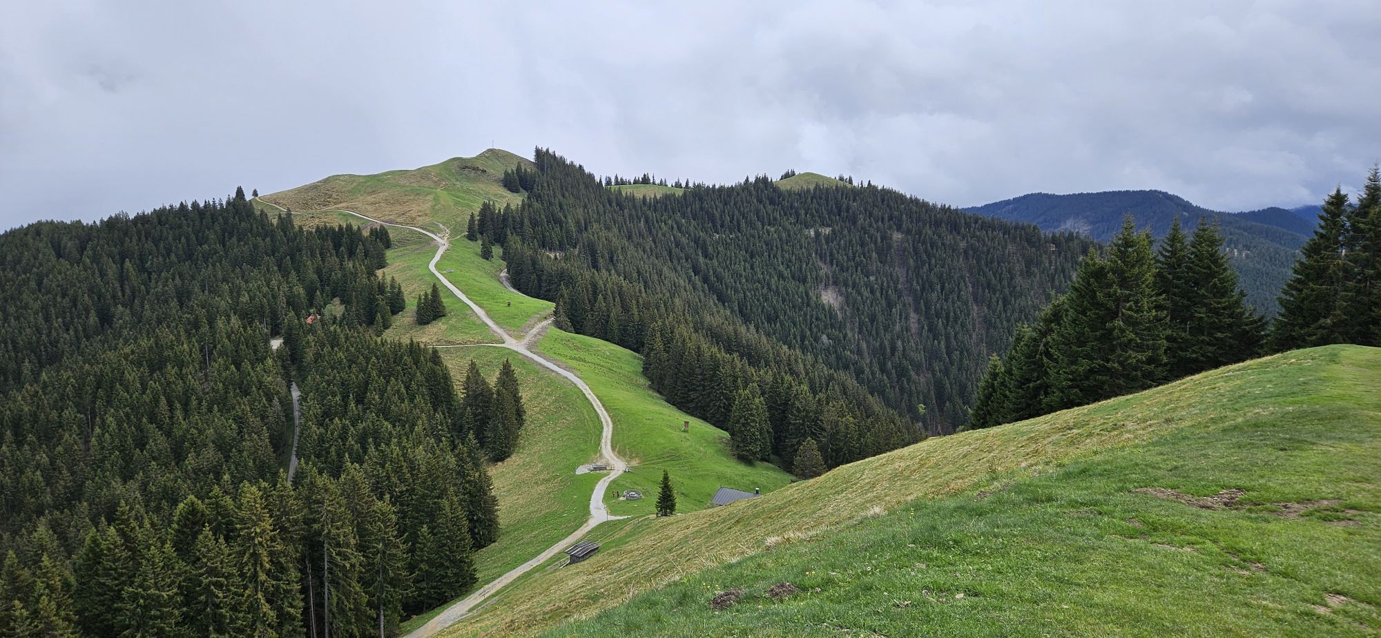
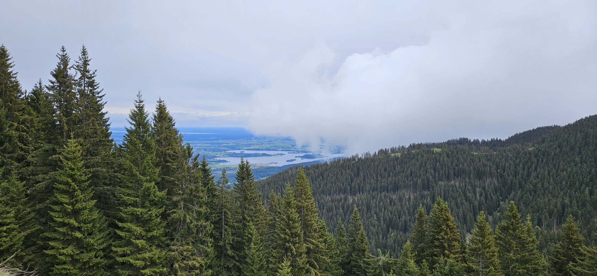
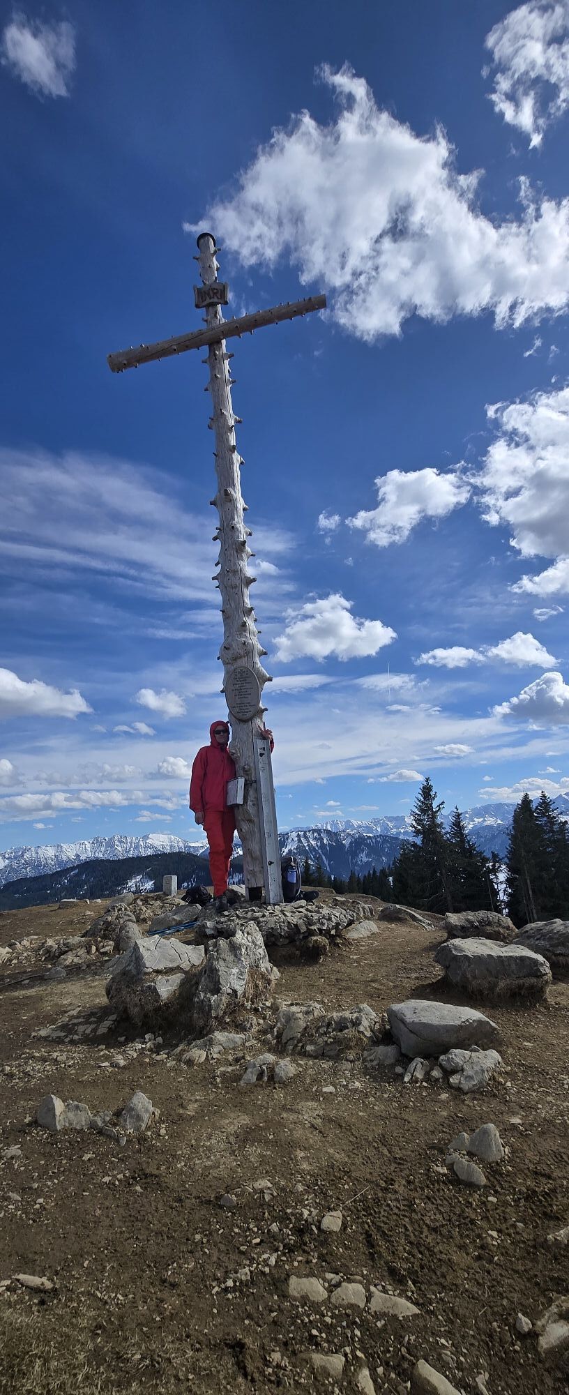
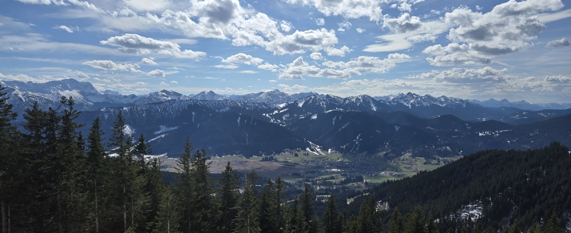
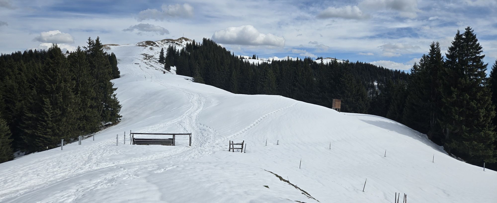
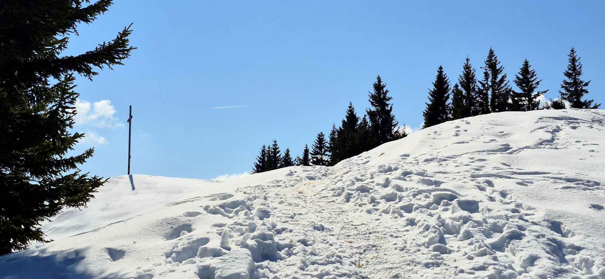
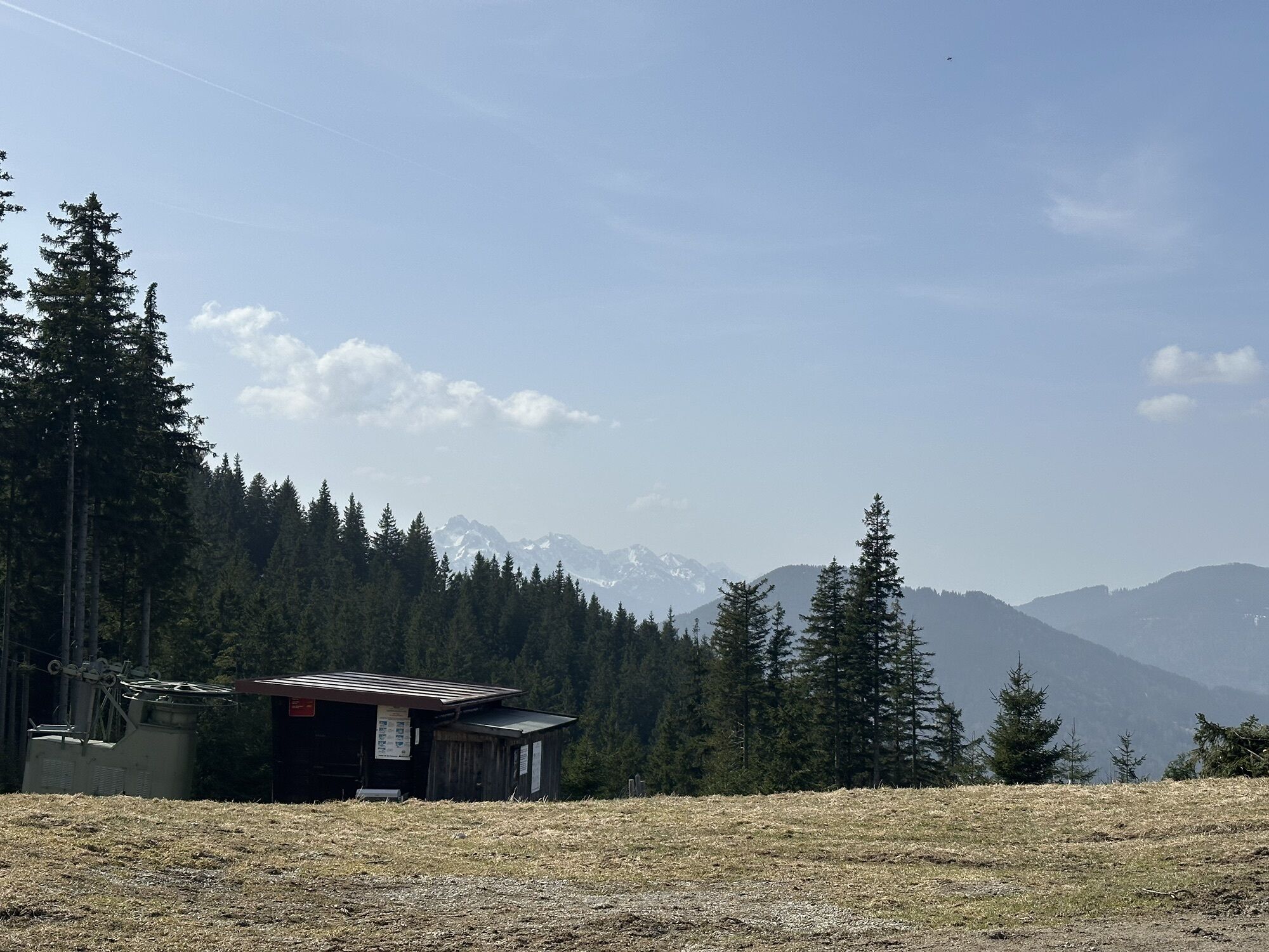
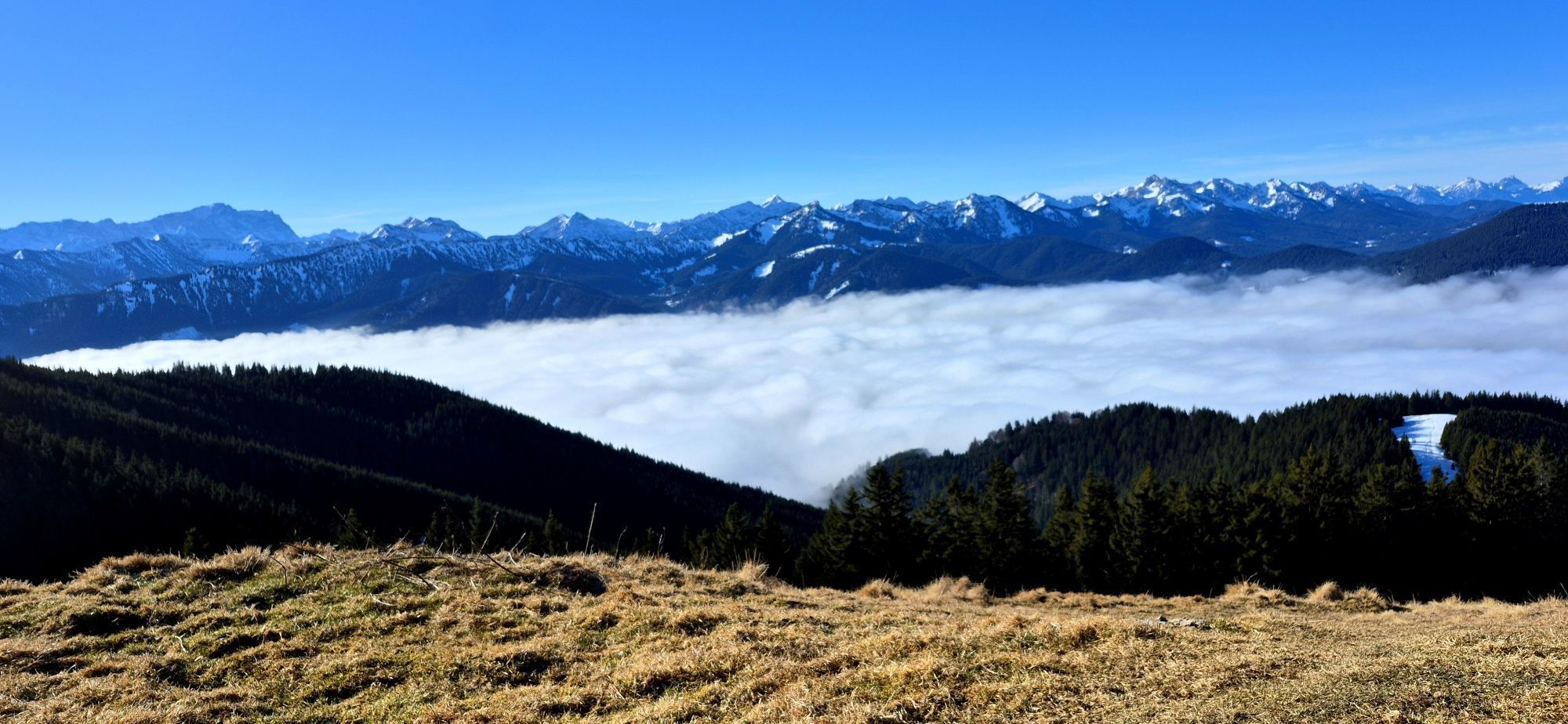
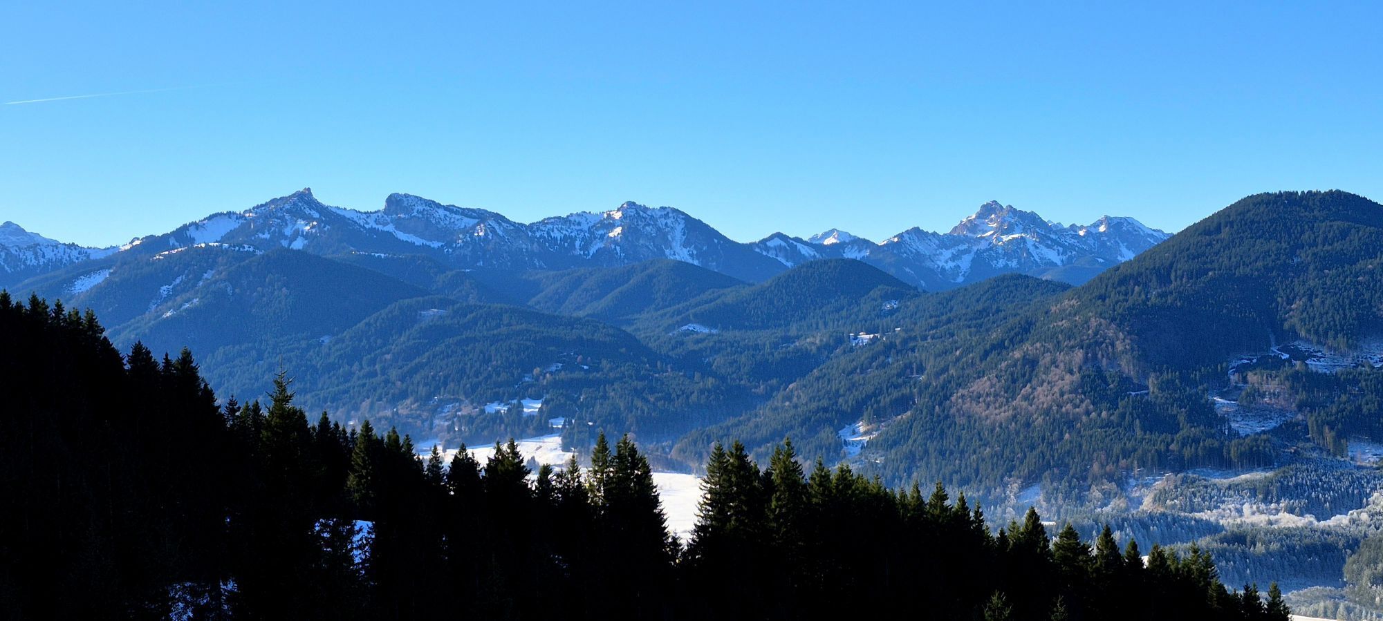
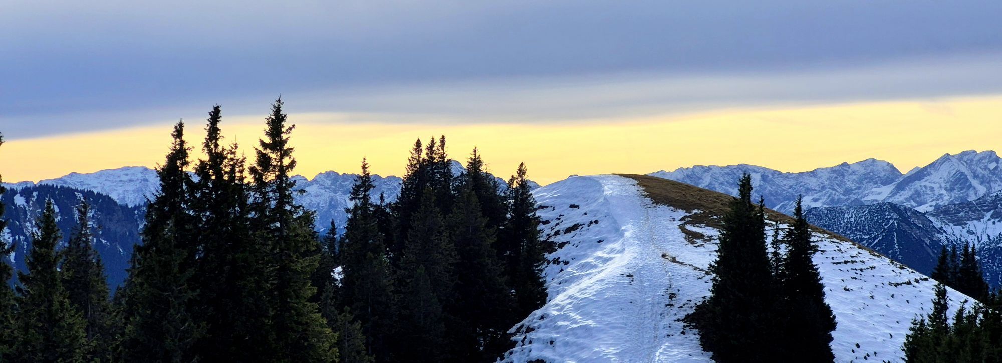
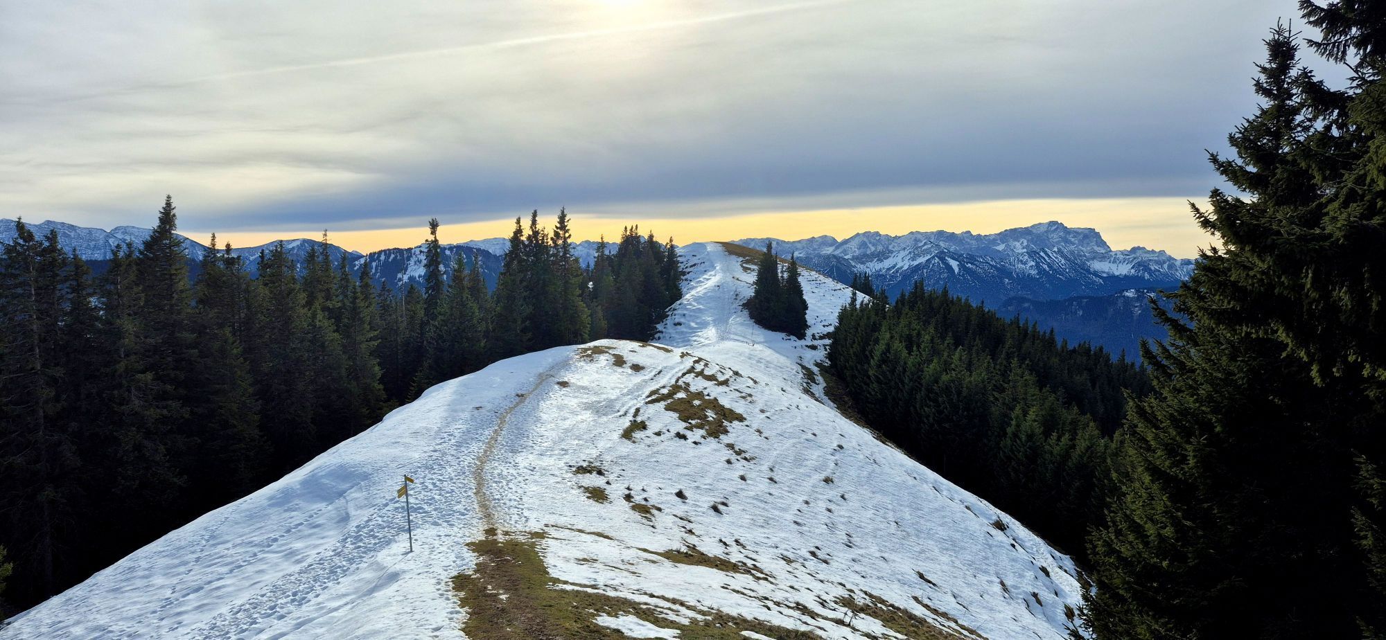
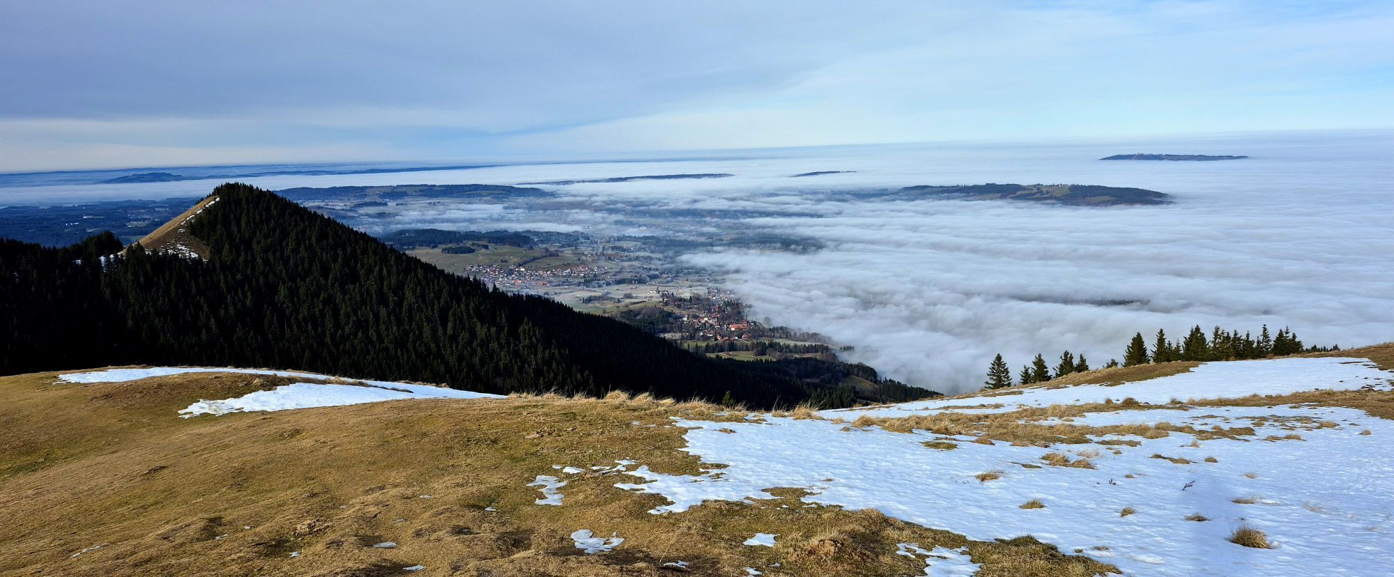
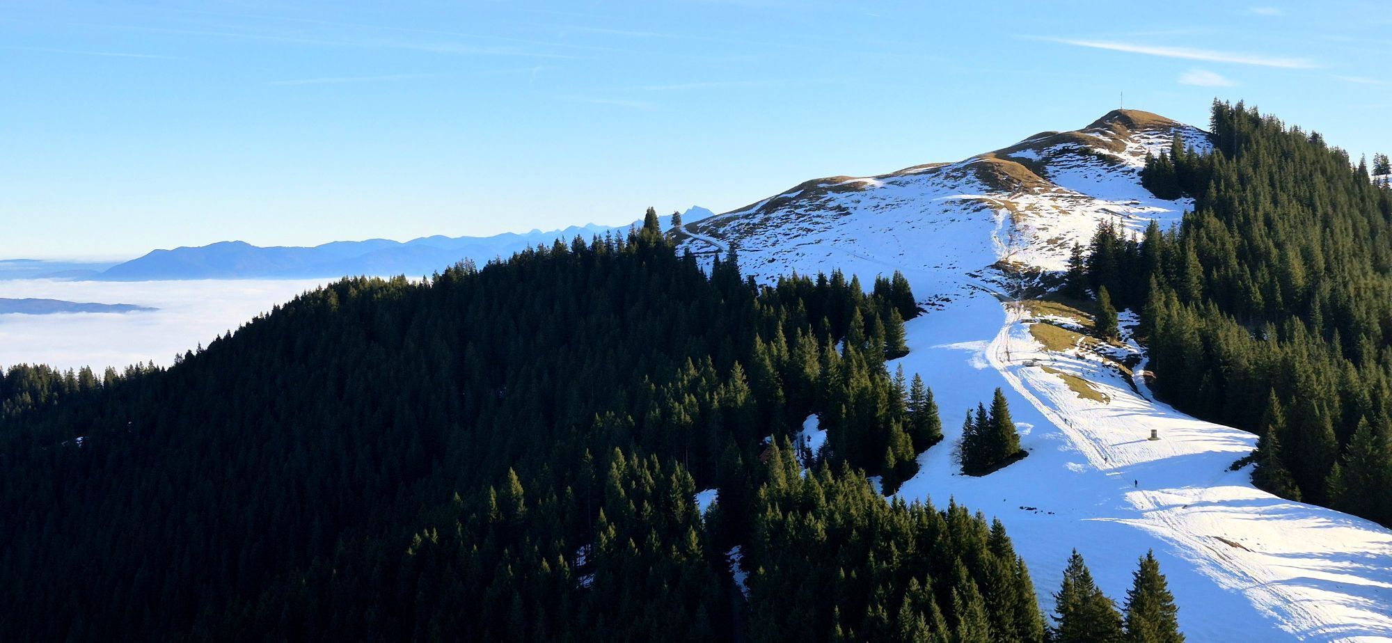
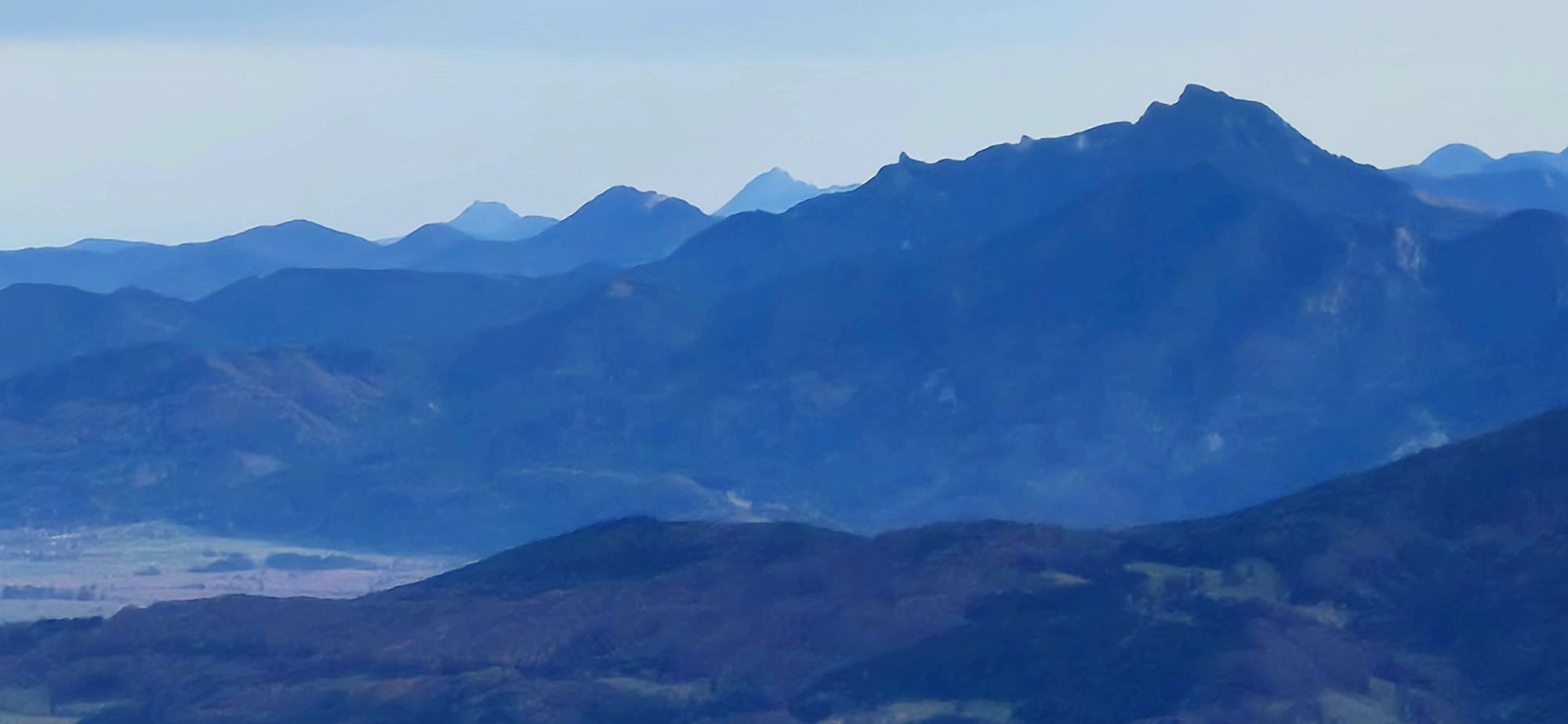
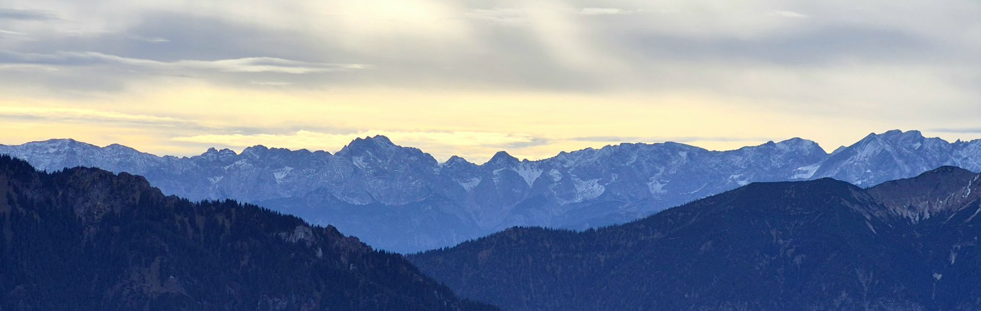
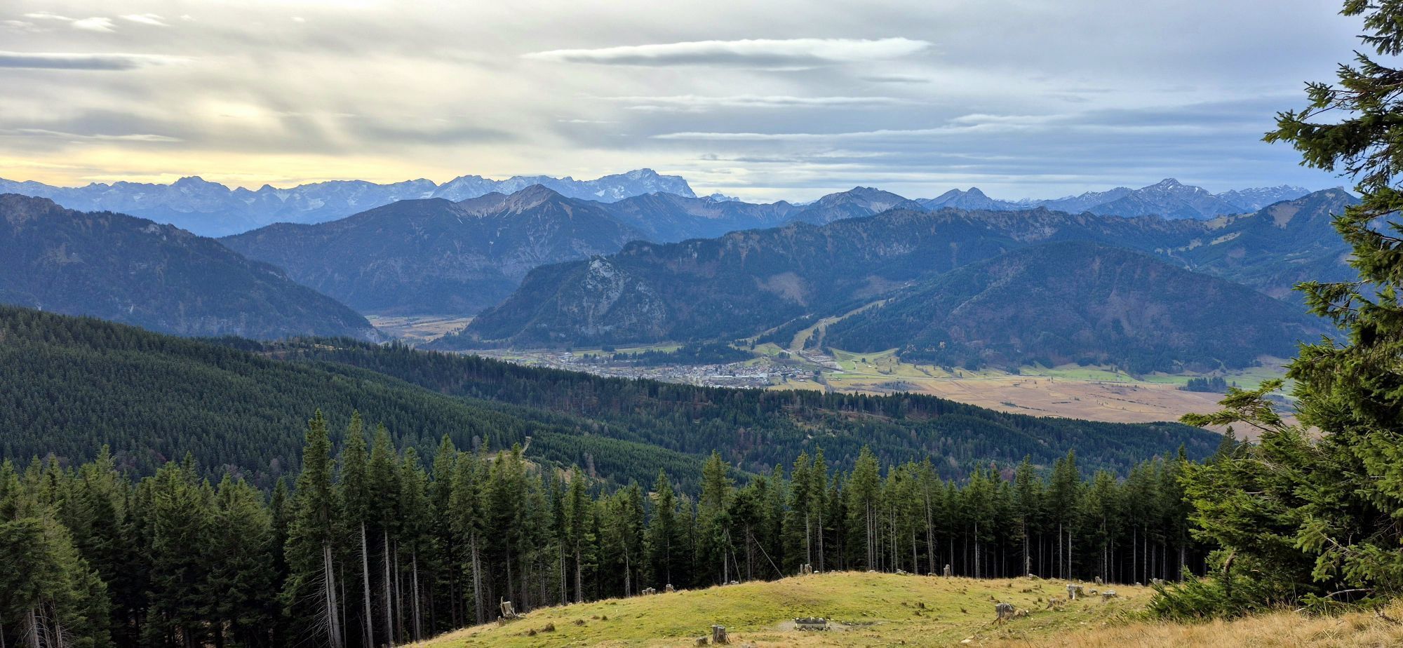
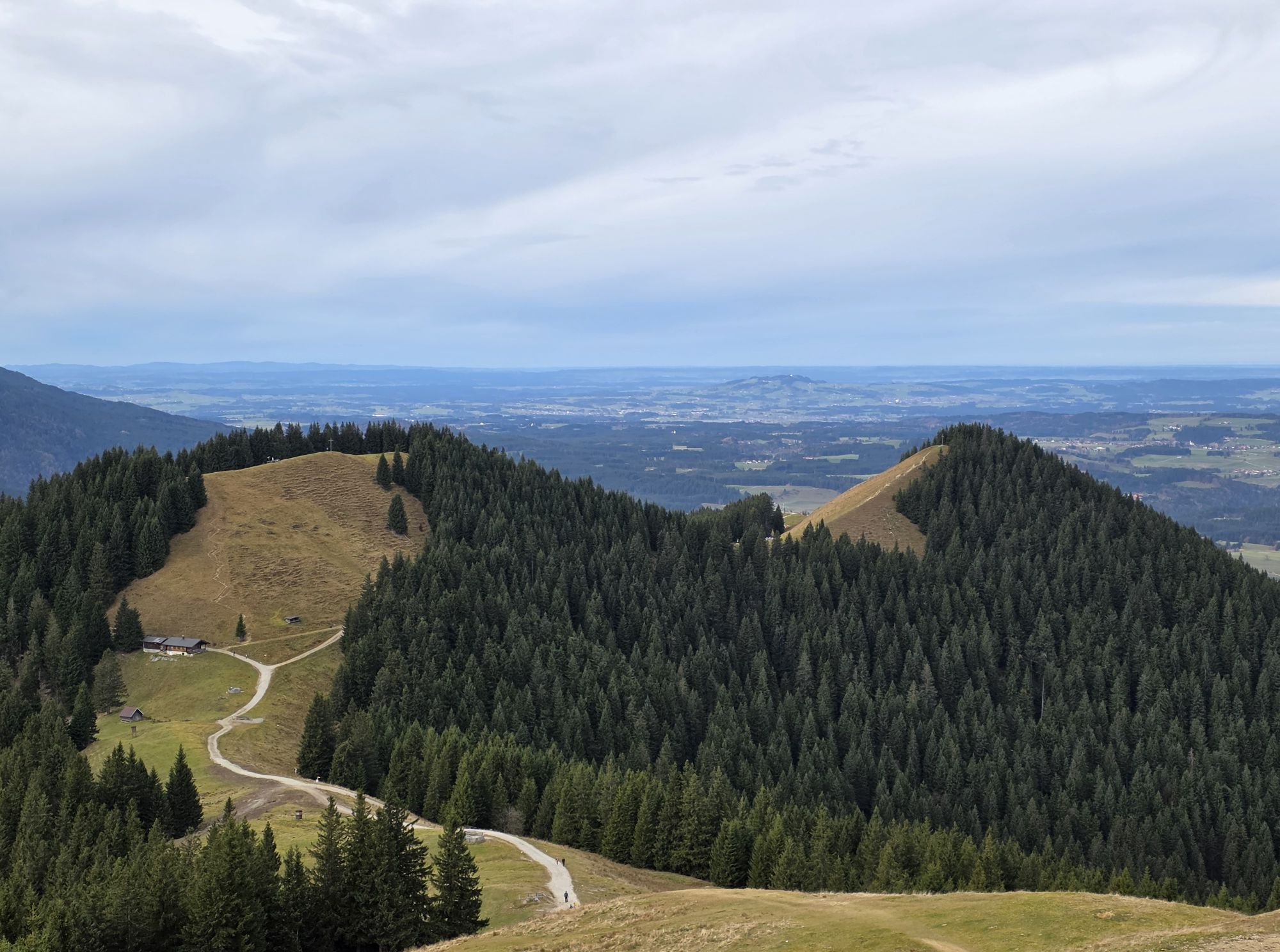
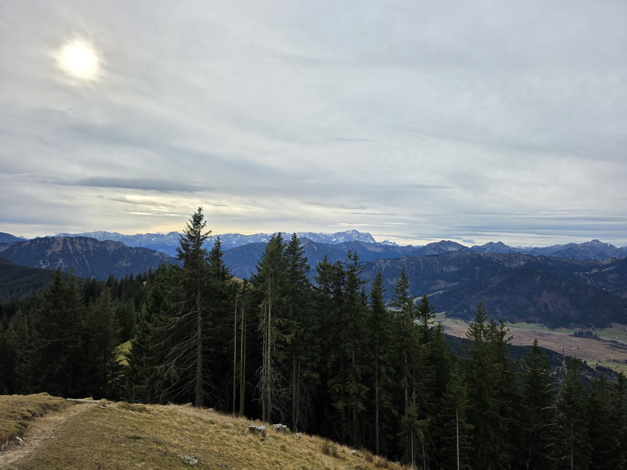
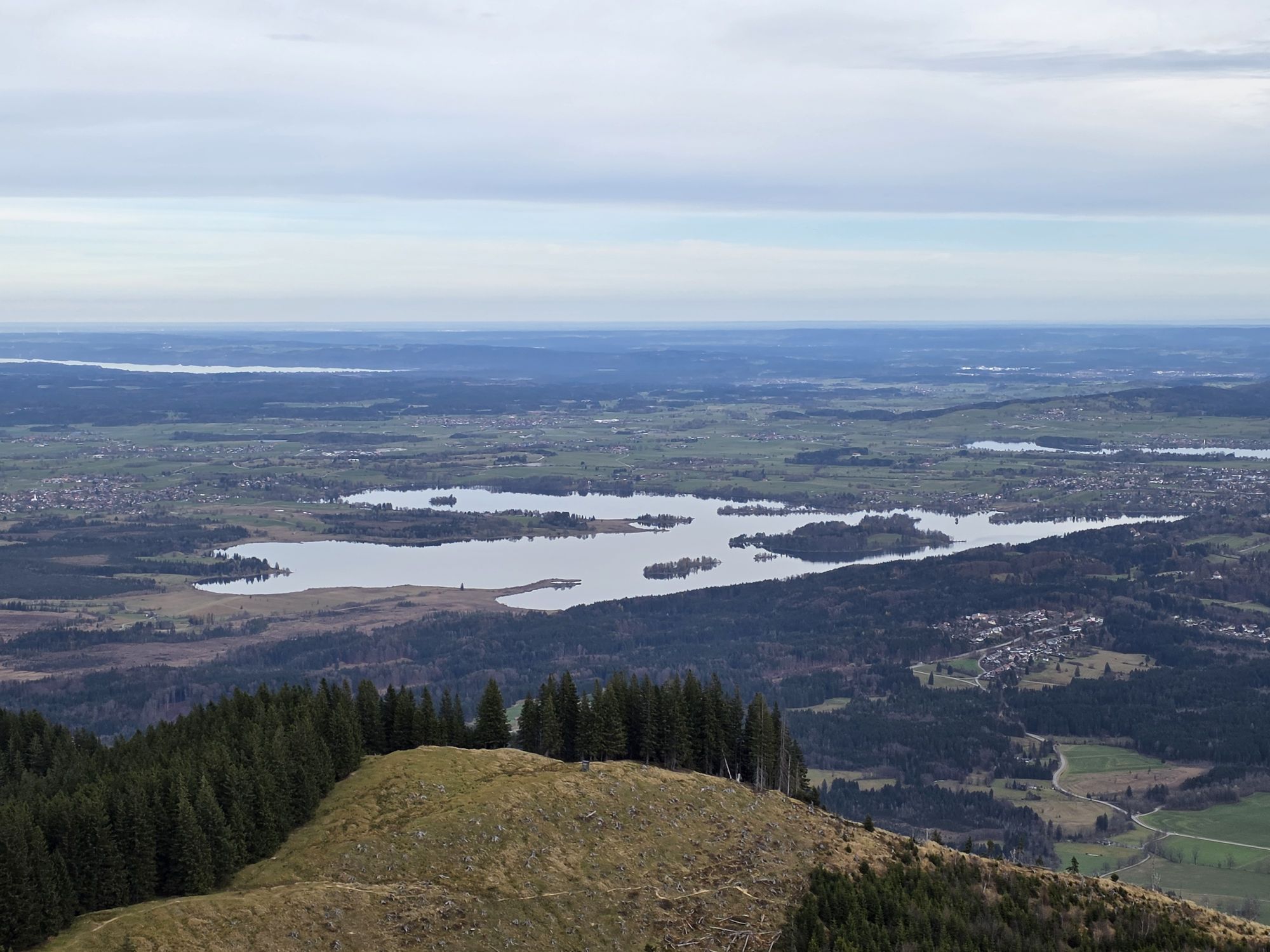
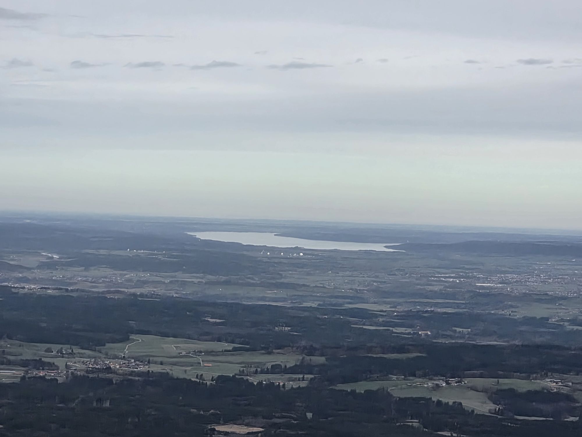
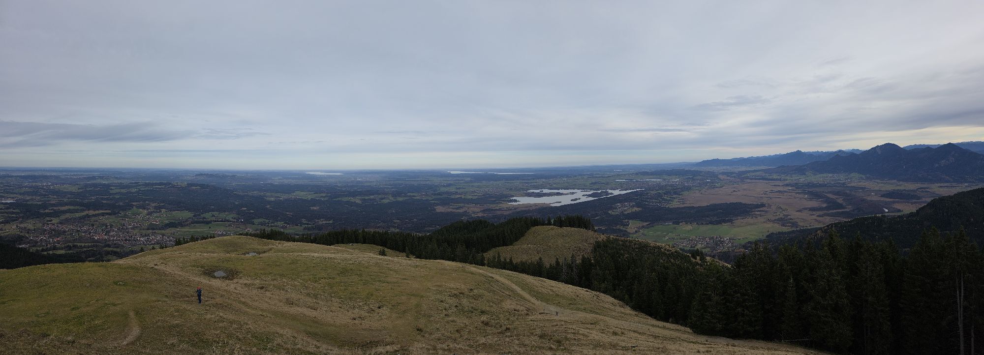
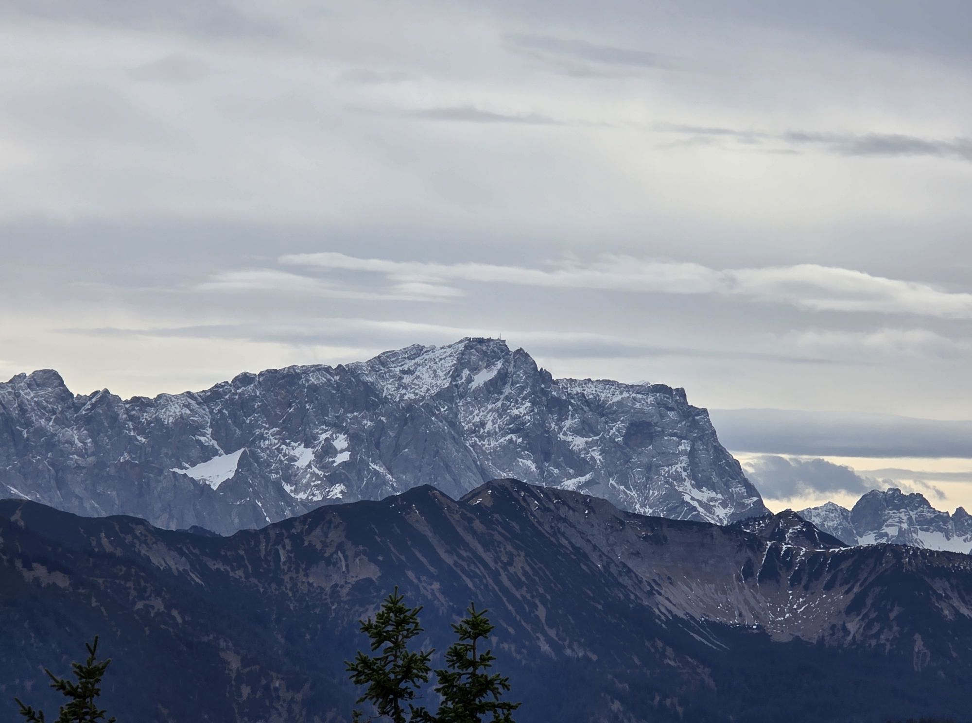
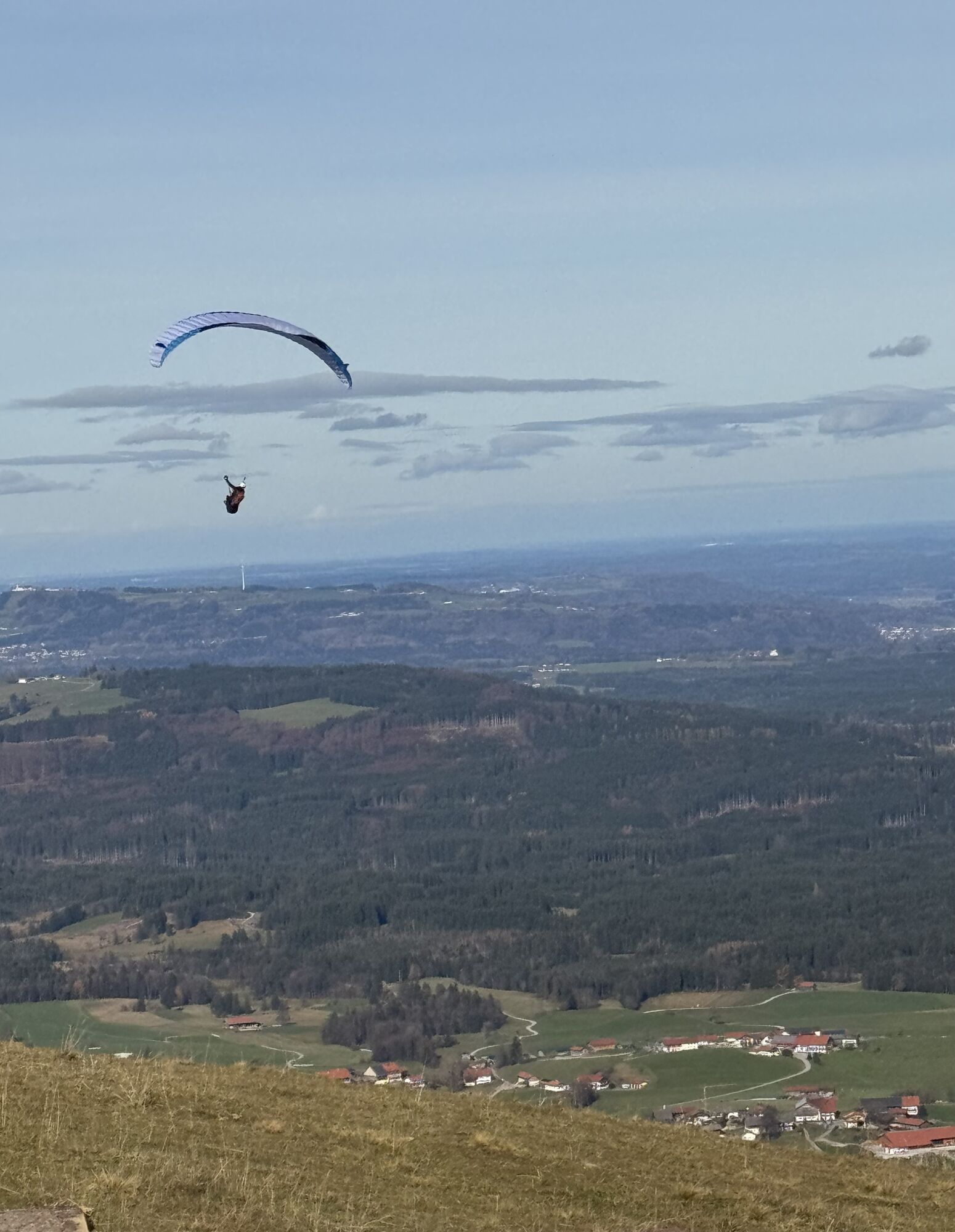
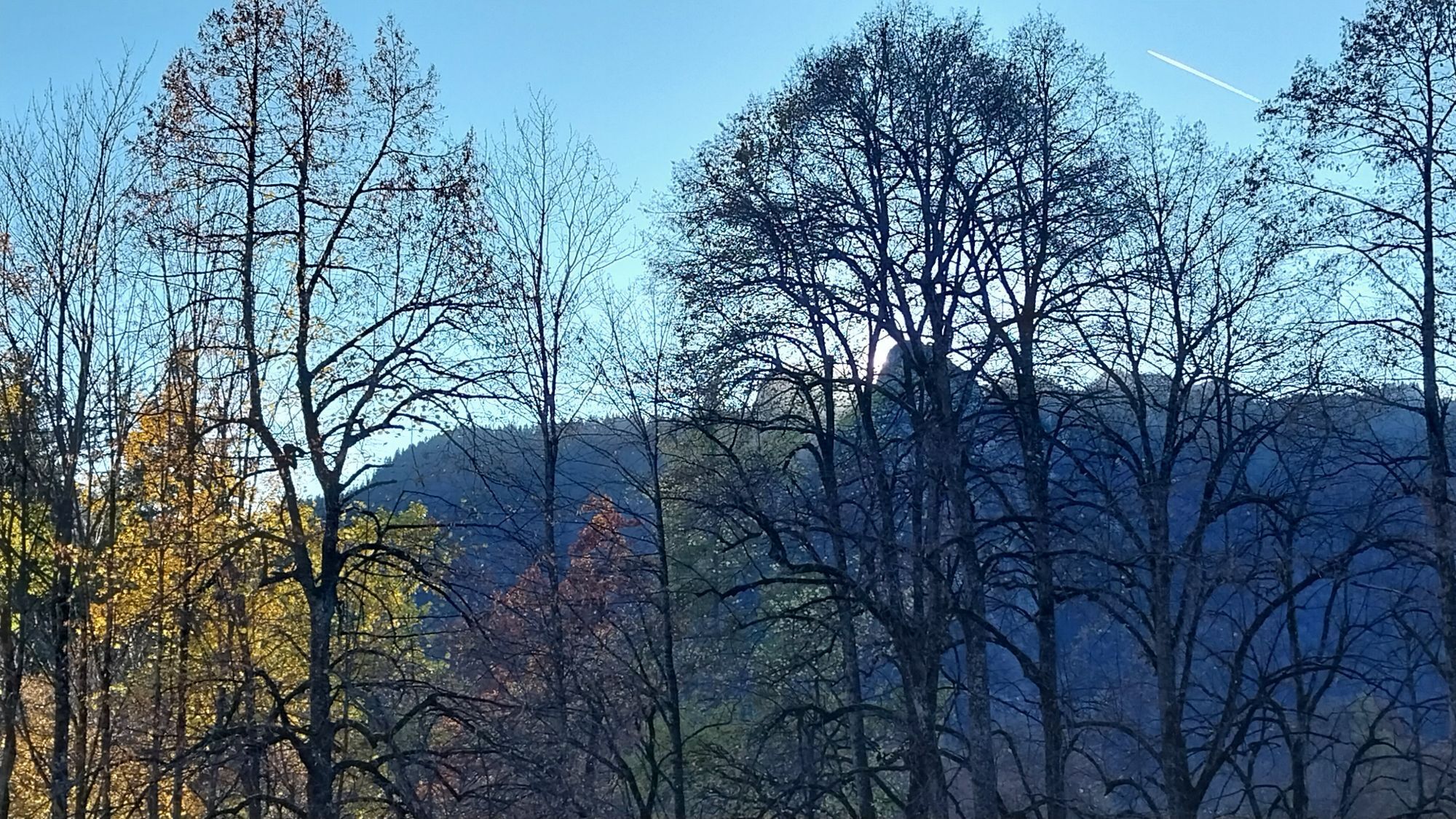
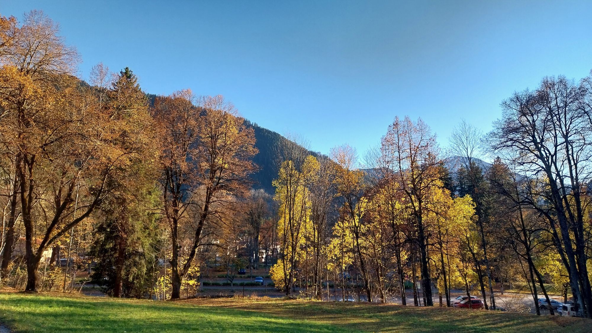
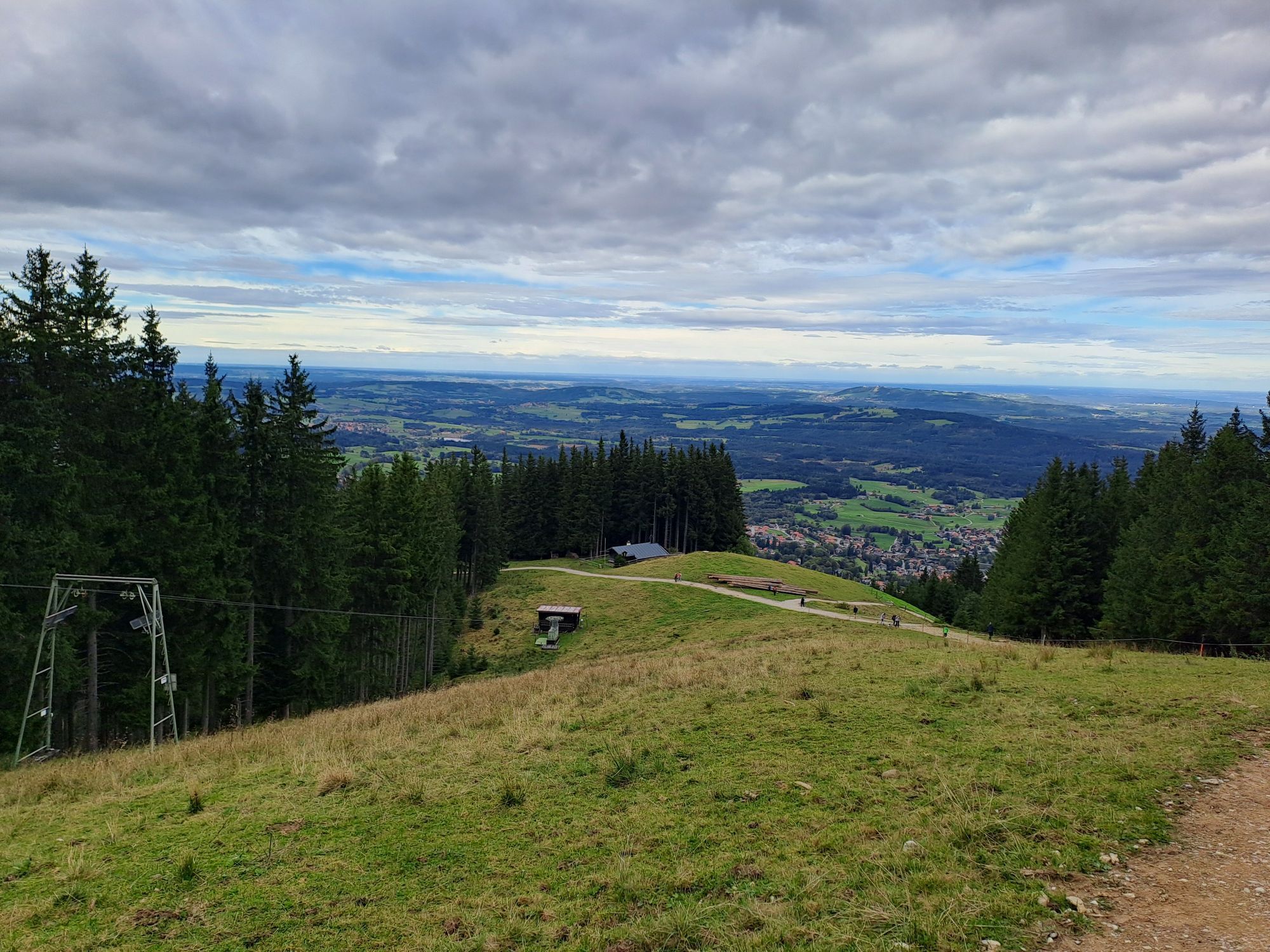
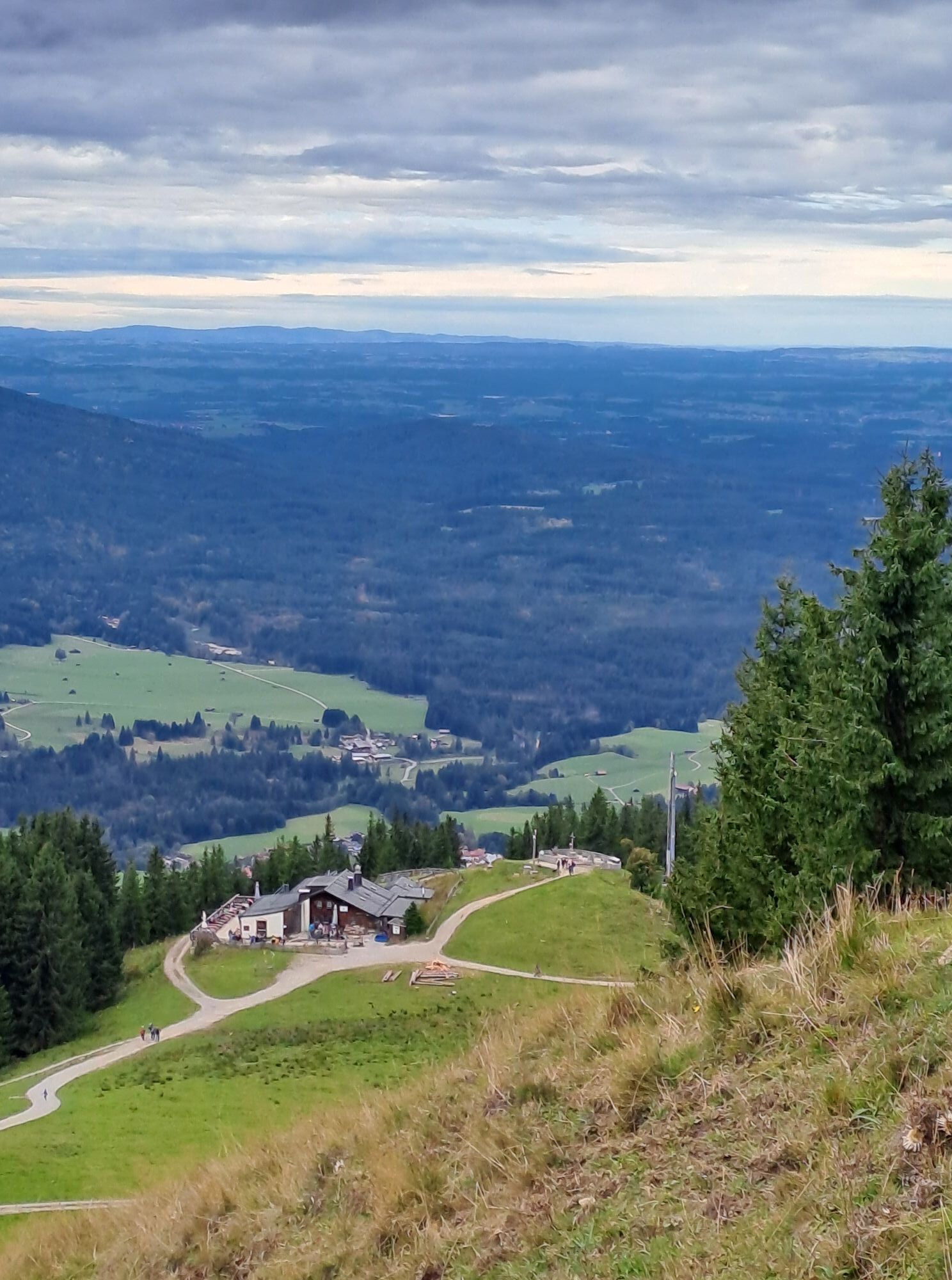
Beautiful route over the Hörnle and the Stierkopf. In the first part of the route, you are mostly in open terrain on the edge of the ski slope. In the middle section, you always have the best panoramic...
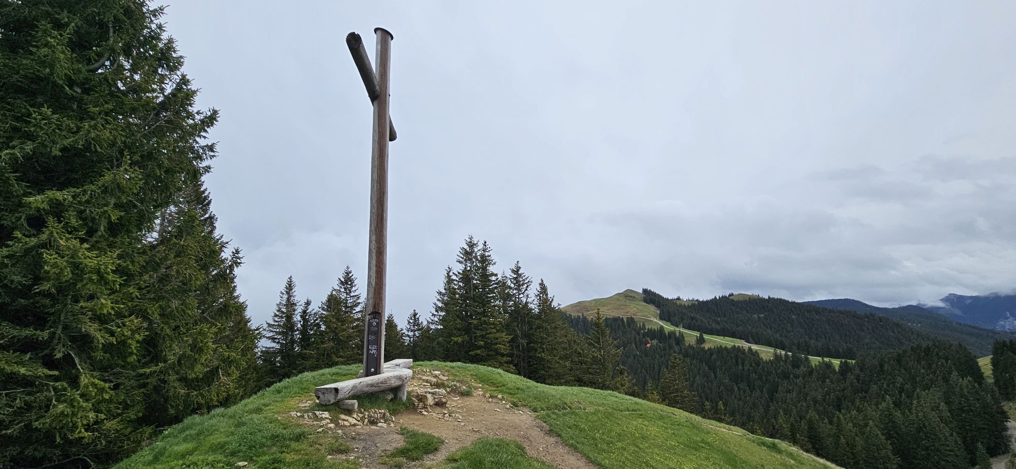
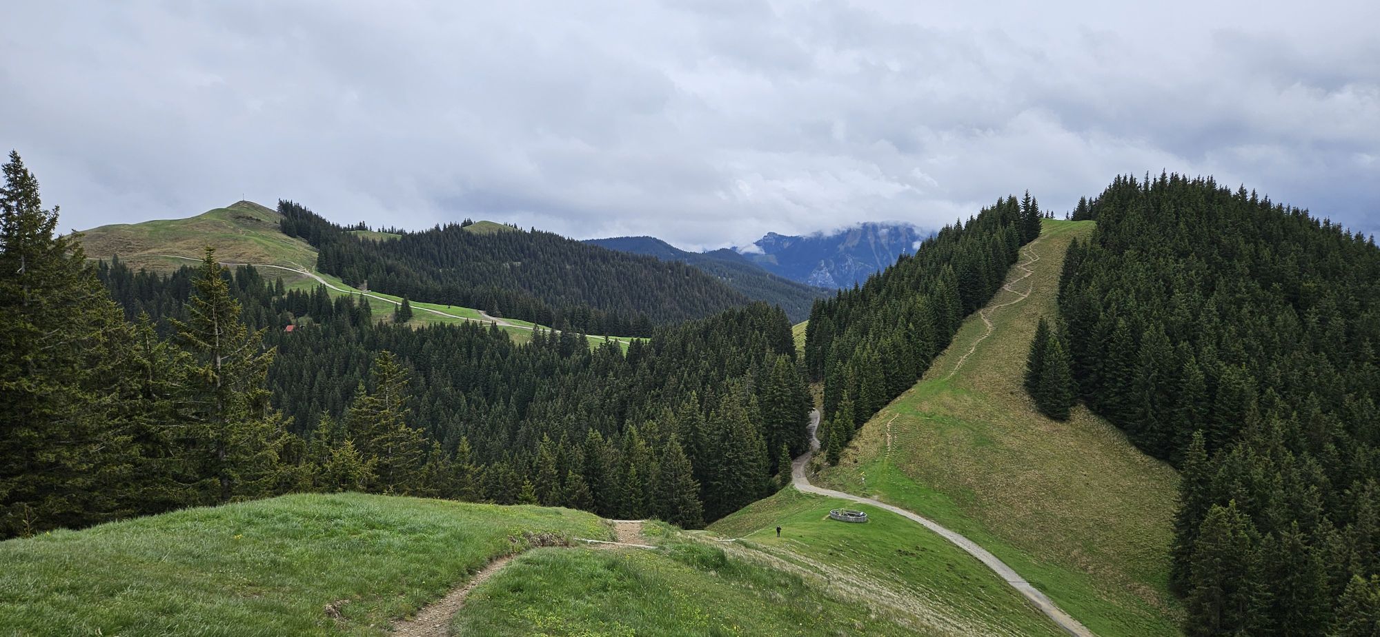
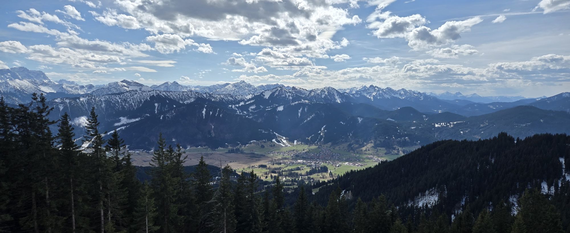
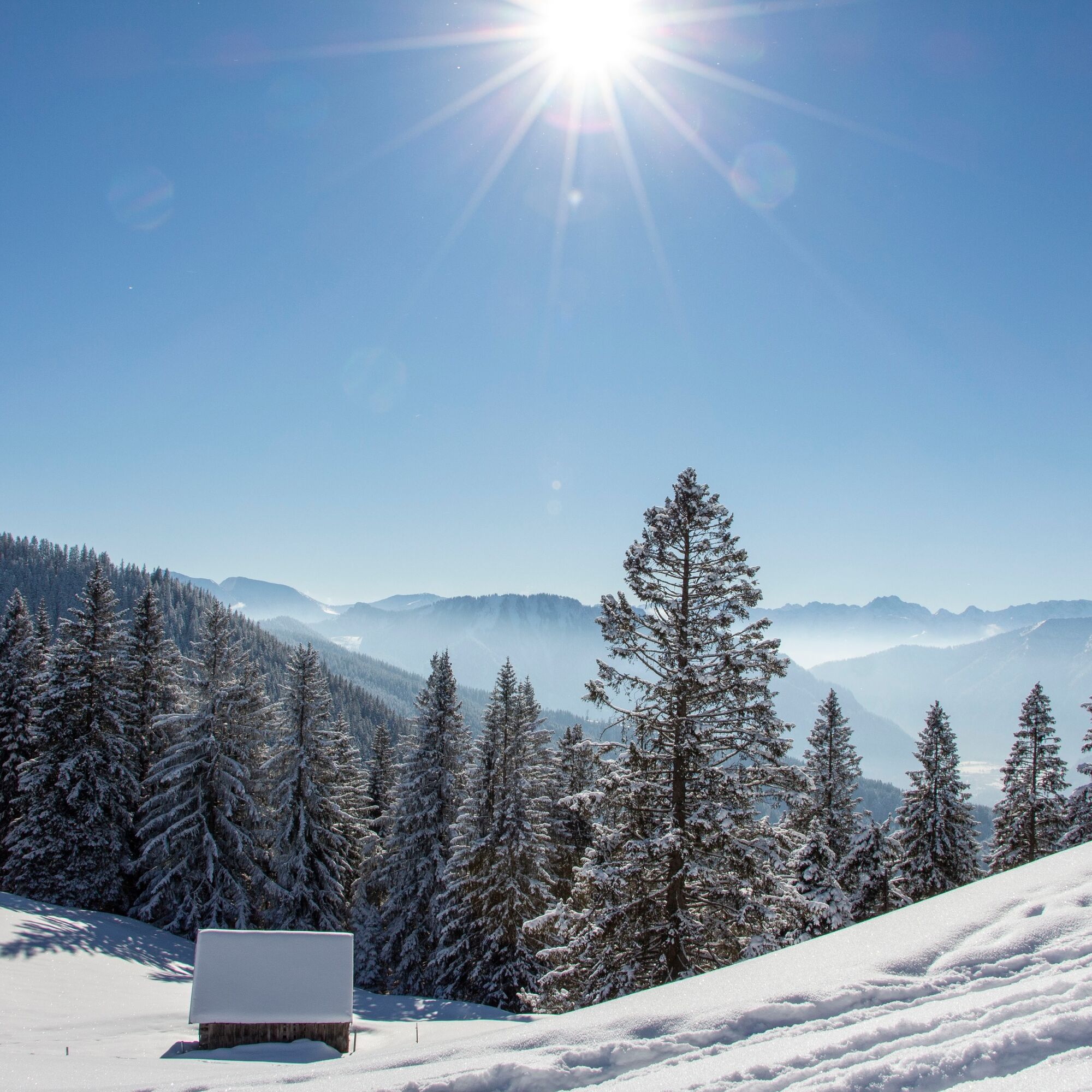
Beautiful route over the Hörnle and the Stierkopf. In the first part of the route, you are mostly in open terrain on the edge of the ski slope. In the middle section, you always have the best panoramic view. The transition from the Stierkopf over Drei Marken to Romanshöhe mostly goes through mountain forest with occasional views of the Ammergau Alps mountain landscape.
The route was created in 2015 as part of the project "Environmentally Friendly Ski Mountaineering" of the German Alpine Club in cooperation with local representatives (forestry, hunting, and farmers).
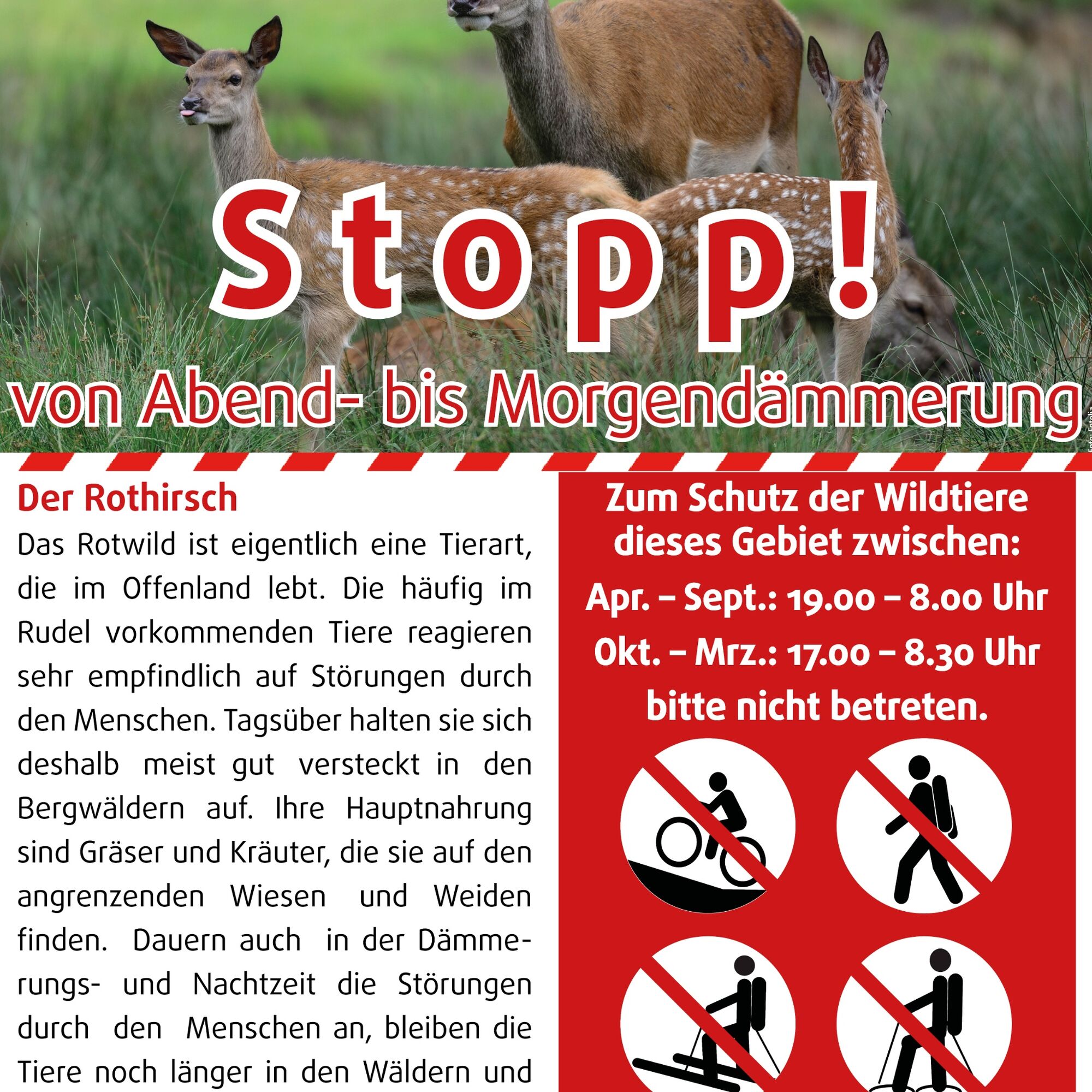
Please respect existing wildlife quiet zones and avoid the time between dusk and dawn, as wildlife is especially sensitive to disturbances during this time.

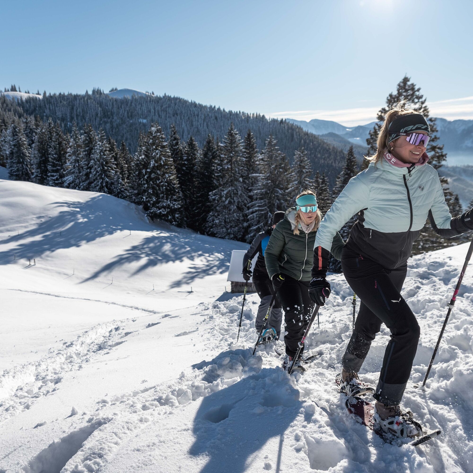
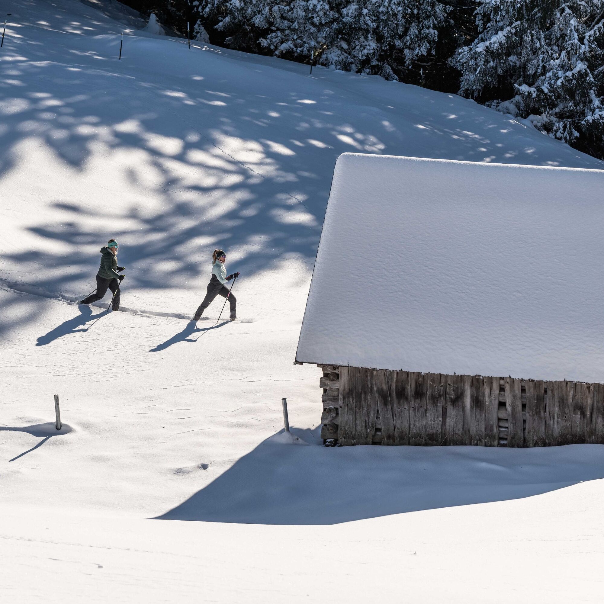
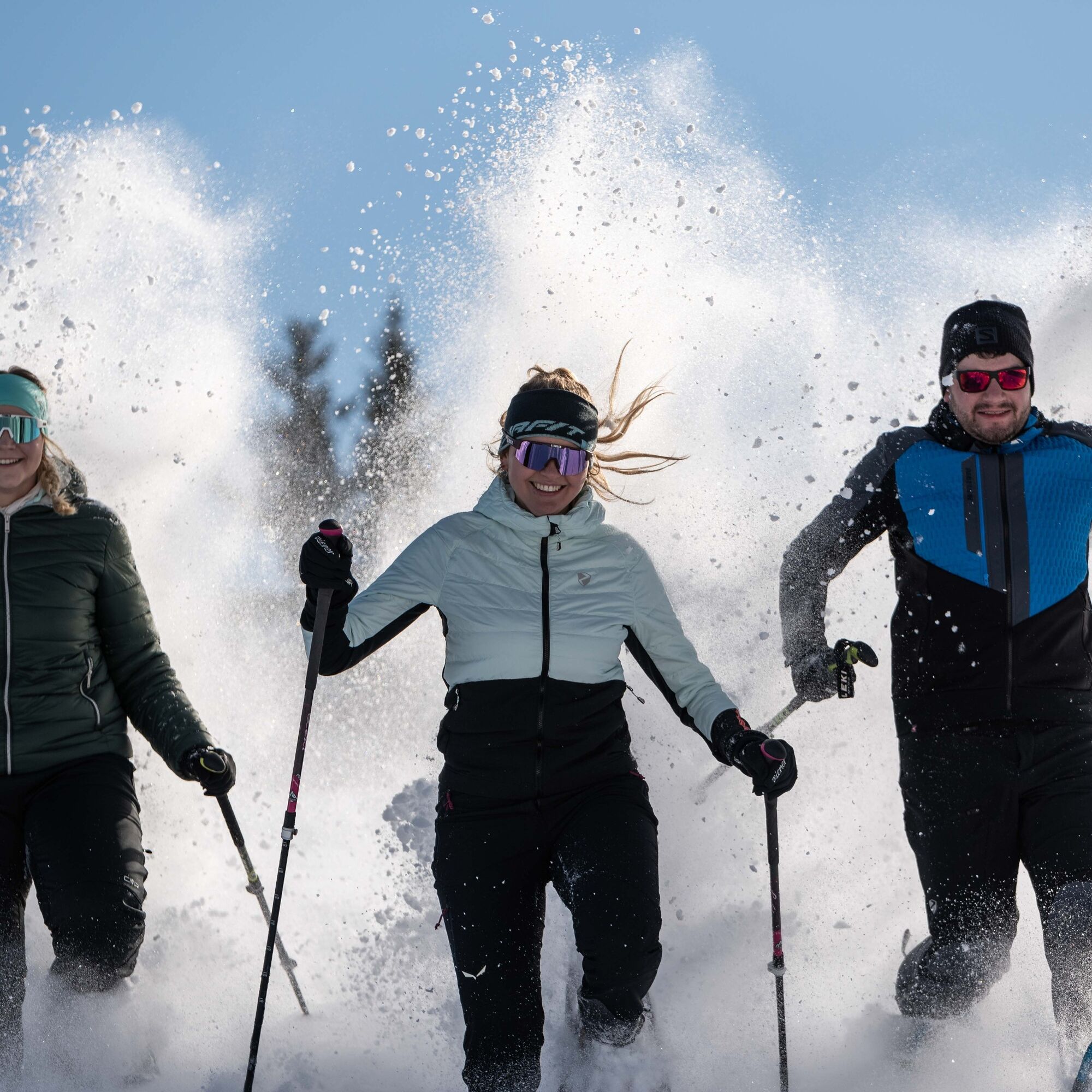

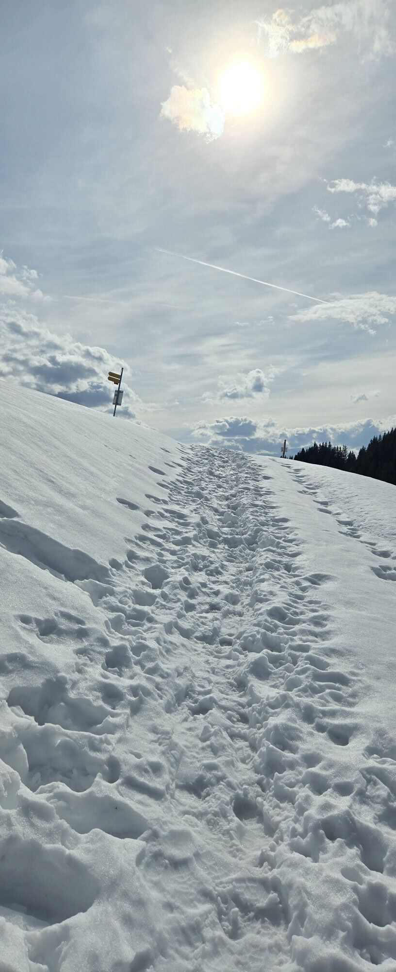
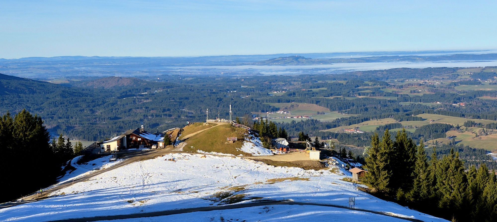
The start is at the parking lot for ski tourers above the valley station of the Hörnlebahn at the Tannenbankerllift. From here, you walk to the right along the piste through a small forest area. Then you ascend continuously along the left edge of the piste to the Sonneneck and further along the right edge of the family ski slope past the mountain rescue hut to the Hörnlehütte.
Please be considerate of descending skiers and always ascend at the edges of the piste.
From the Hörnlehütte, you go over the Vordere Hörnle. Now you descend a little and pass the Hörnle-Alm to ascend again a few hundred meters on the opposite side to the Hintere Hörnle.
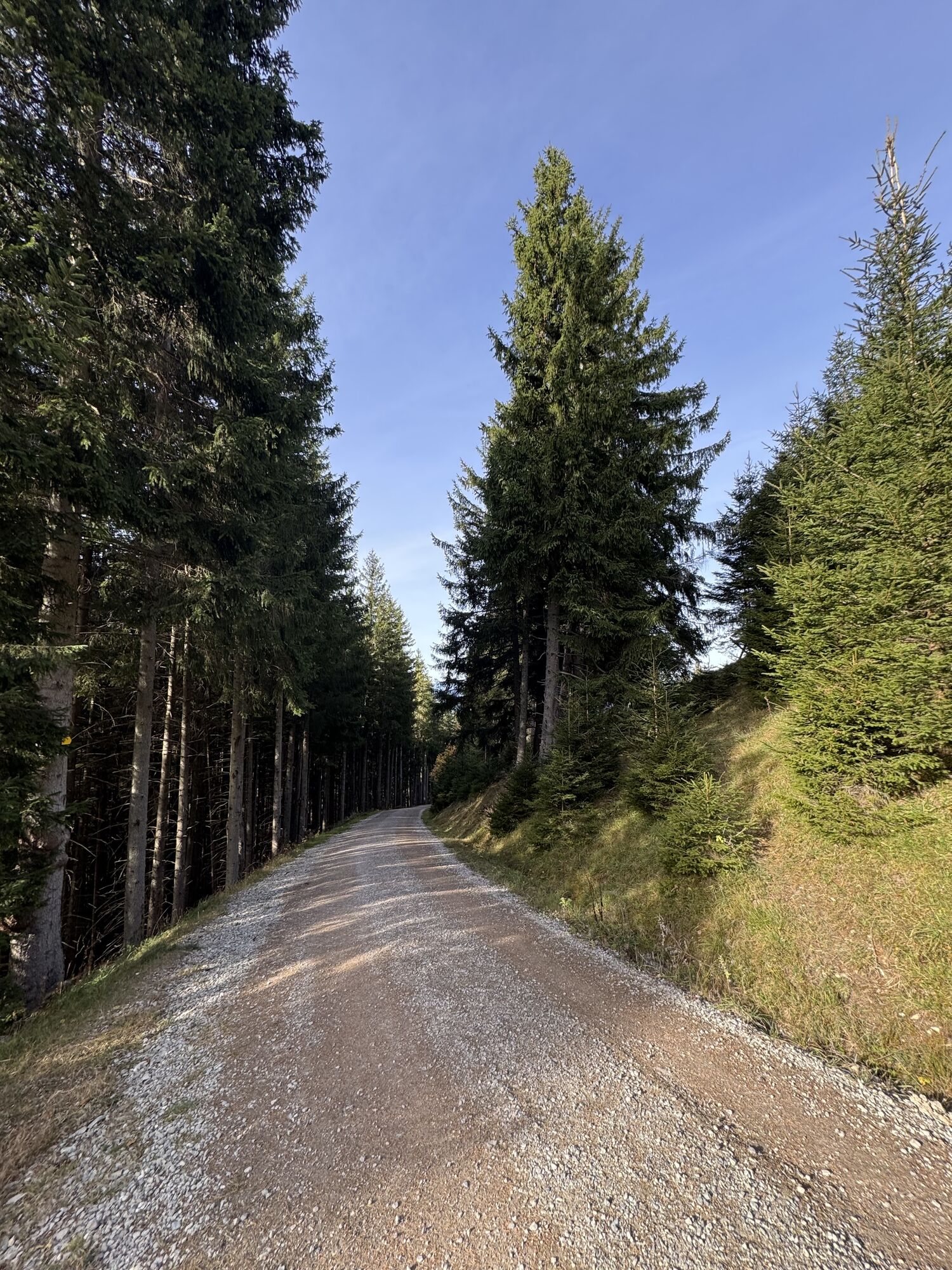
Continue downhill over the summit of the Stierkopf to the Drei Marken. From here, first follow the forest road towards Unterammergau. At a large junction with an open view, continue on the forest road towards Oberammergau/Aufacker. Follow the signs towards the inn "Romanshöhe" (open Saturday and Sunday from 10:00 am to 5:00 pm). After this, stay on the Romanshöhe hiking trail towards Wellenberg. From here, you walk with a great panoramic view over the Ammertal valley to the parking lot at the Wellenberg adventure pool.
At the entrance to the town, you reach the Wellenberg adventure pool. From here it takes 15 minutes to the Oberammergau train station. By train, you return to the starting point in Bad Kohlgrub.
Tak
With the perfect equipment, your personal winter day in the Ammergau Alps Nature Park will be unforgettable. You can rent suitable winter equipment such as crampons (spikes for hiking boots), hiking poles, snowshoes, sleds, or cross-country skis at our rental stations:
Tourist-Info Bad Bayersoien
Address: Dorfstr. 45 - 82435 Bad Bayersoien
Tel.: +49 8845 7030 620
Drahtesel Rental Lukas Spindler/ Sporthaus Mühlstraßer
Address: Theaterstraße 2 - 82487 Oberammergau
Tel.: +49 172 7228493
www.sport-muehlstrasser.de
www.bikeverleih-oberammergau.de
Sportzentrale Papistock
Address: Bahnhofstraße 6a, 82487
Tel.: +49 8822 4178
www.sportzentrale-papistock.de
Please always pay attention to the avalanche warning report: www.lawinenwarndienst-bayern.de
In case of emergency, please contact the nearest rescue control center. Regardless of location, you can reach them nationwide by dialing 112.
A95, Murnau St2062 to Bad Kohlgrub
Bus stop: Oberammergau, WellenBerg/Laberbergbahn
9606 Garmisch-Partenkirchen - Oberammergau - Wieskirche - Füssen
9622 Oberammergau - Ettal - Linderhof (Castle)
Train station: Oberammergau station
Murnau - Oberammergau
Guests of the Ammergau Alps region travel free of charge by bus and train with the electronic guest card or the KönigsCard.
Return trip to Bad Kohlgrub is only possible by train.
e-Car sharing in the Ammergau Alps Nature Park
Parking lot Tannenbankerllift, Bad Kohlgrub
Kamery internetowe z trasy
Uzyskaj wgląd
Zawsze na żywo z ponad 9 500 kamer internetowych. bergfex Jako użytkownik Pro, możesz teraz zobaczyć odpowiednie kamery internetowe dla wielu wycieczek w aplikacji wycieczki od. Pozwala to na bezpośredni podgląd aktualnych warunków.
Popularne wycieczki w okolicy
-
4,4
Kuhfluchtwasserfälle
średniWędrówka 1,32 km -
4,6
Mountain route - Teufelstättkopf
średniWędrówka 10,8 km -
4,8
Schafkopf
światłoWędrówka 10,2 km -
4,2
Mountain tour - Kofel
średniWędrówka 11,3 km -
4,7
Murnauer Moos
światłoWędrówka 11,5 km -
4,6
Laber - Ettaler Mandl
światłoWędrówka 9,10 km -
4,5
Wank / Garmisch-Partenkirchen
średniWędrówka 11,8 km -
4,8
Kramerspitz (Rundtour)
średniWędrówka 14,5 km -
4,9
Rundtour von Breitenau auf die Stepbergalm und über Gelbes Gewänd zurück
średniWędrówka 11,6 km -
4,2
Wank
średniWycieczki górskie 12,7 km
Wędrówki i tropienie


Nie przegap ofert i inspiracji na następne wakacje
Twój adres e-mail została dodana do listy mailingowej.





