







E-MTB gourmet route

Poziom trudności: 2
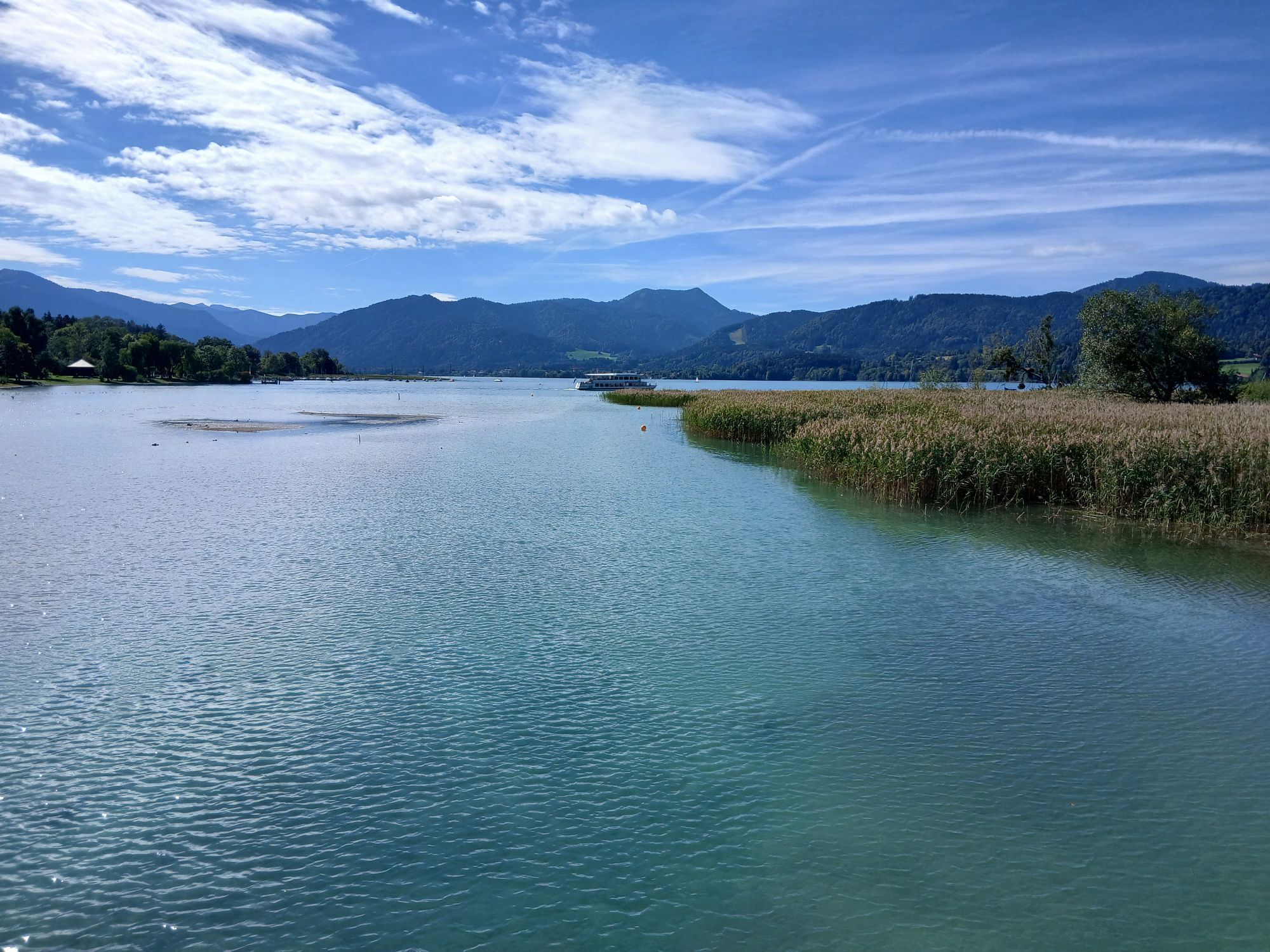
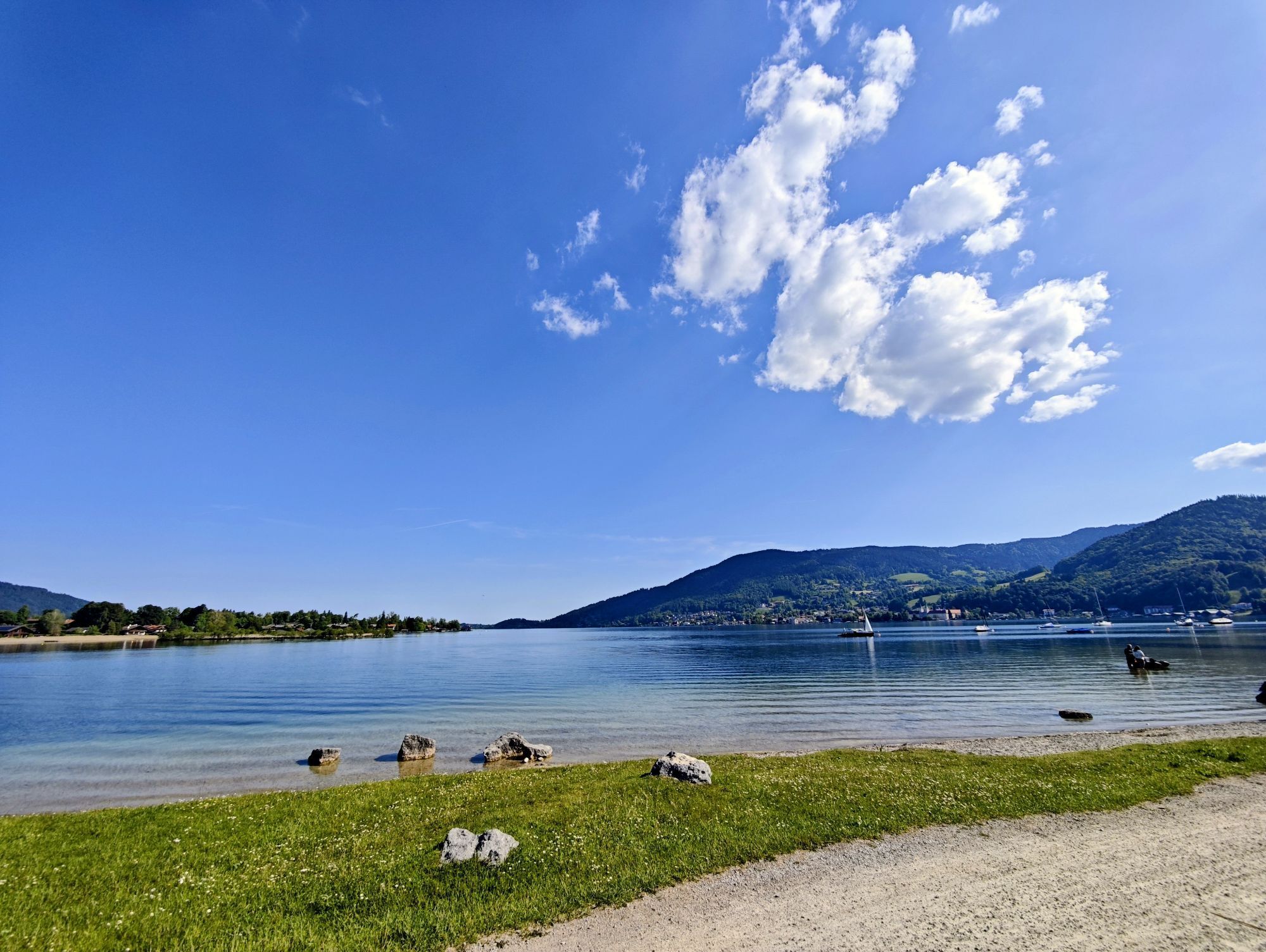
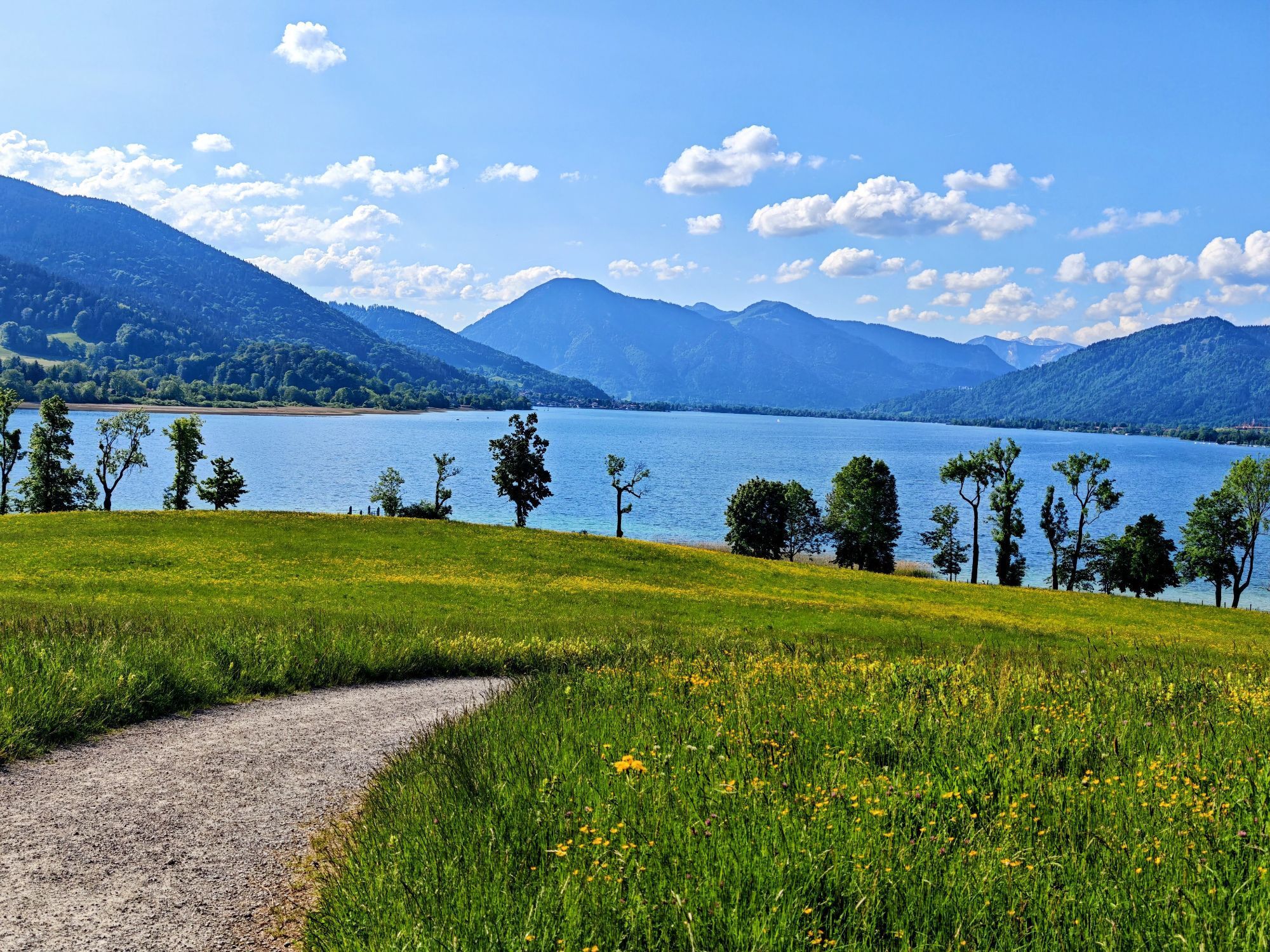
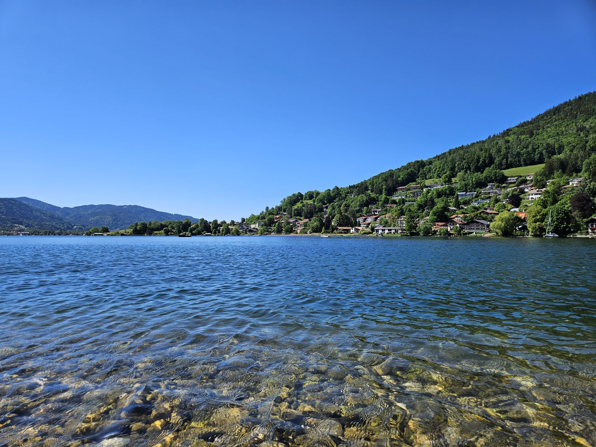
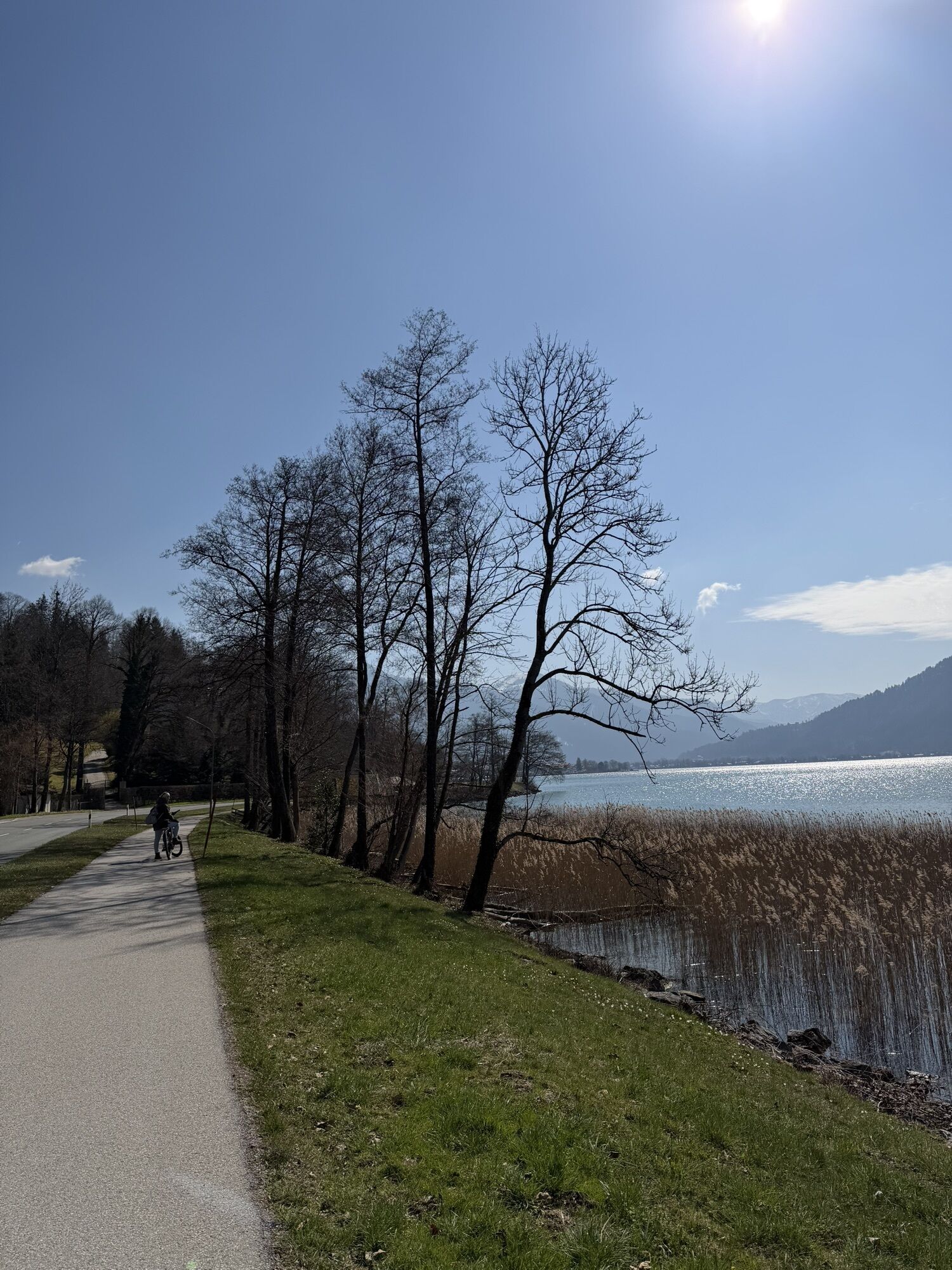
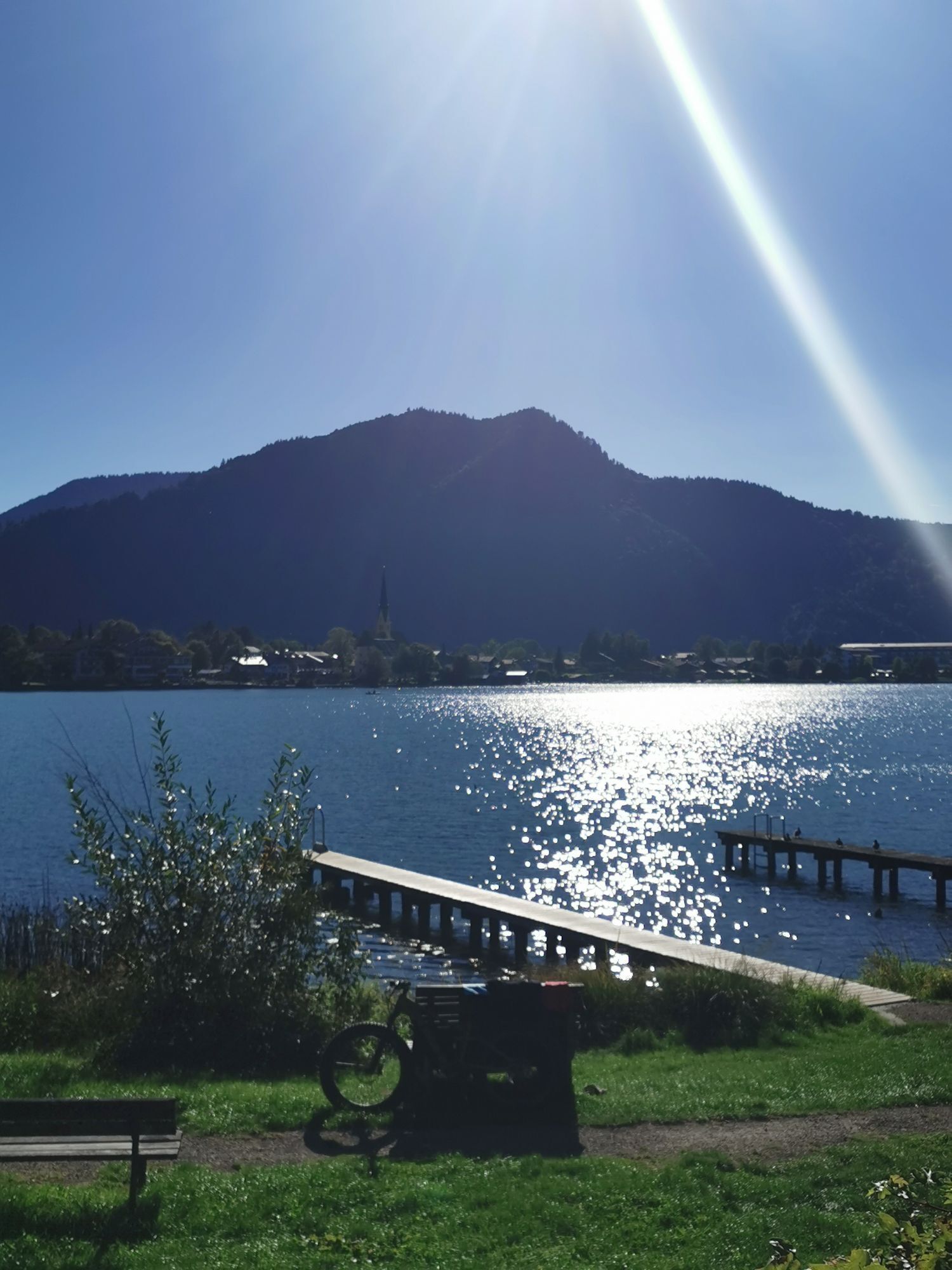
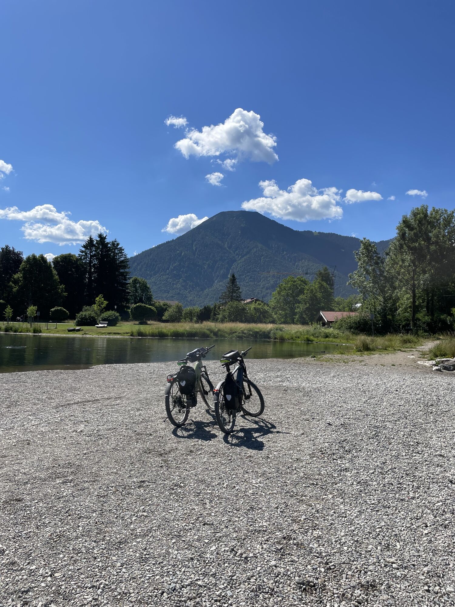
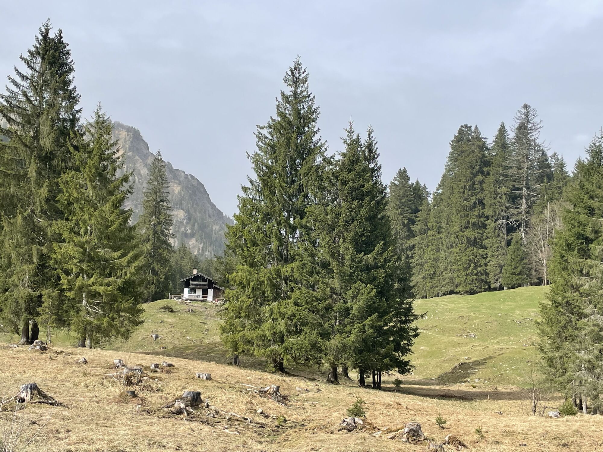
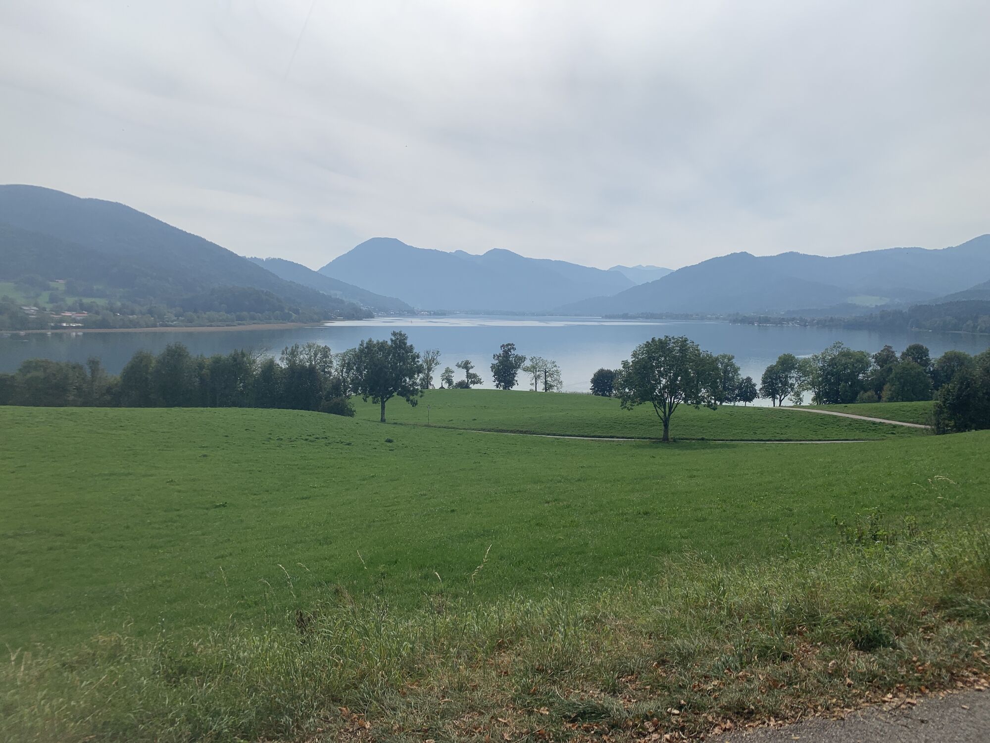
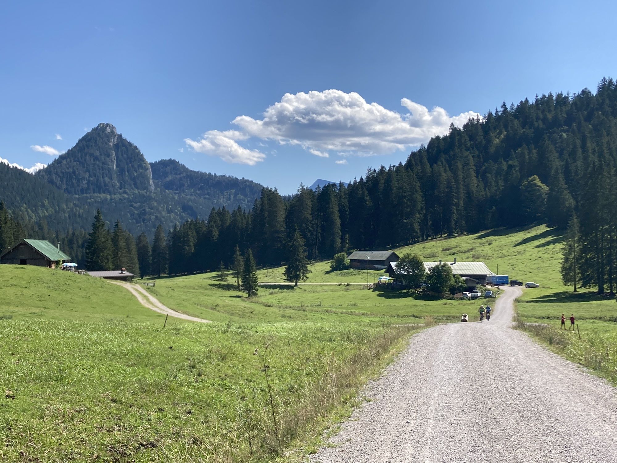
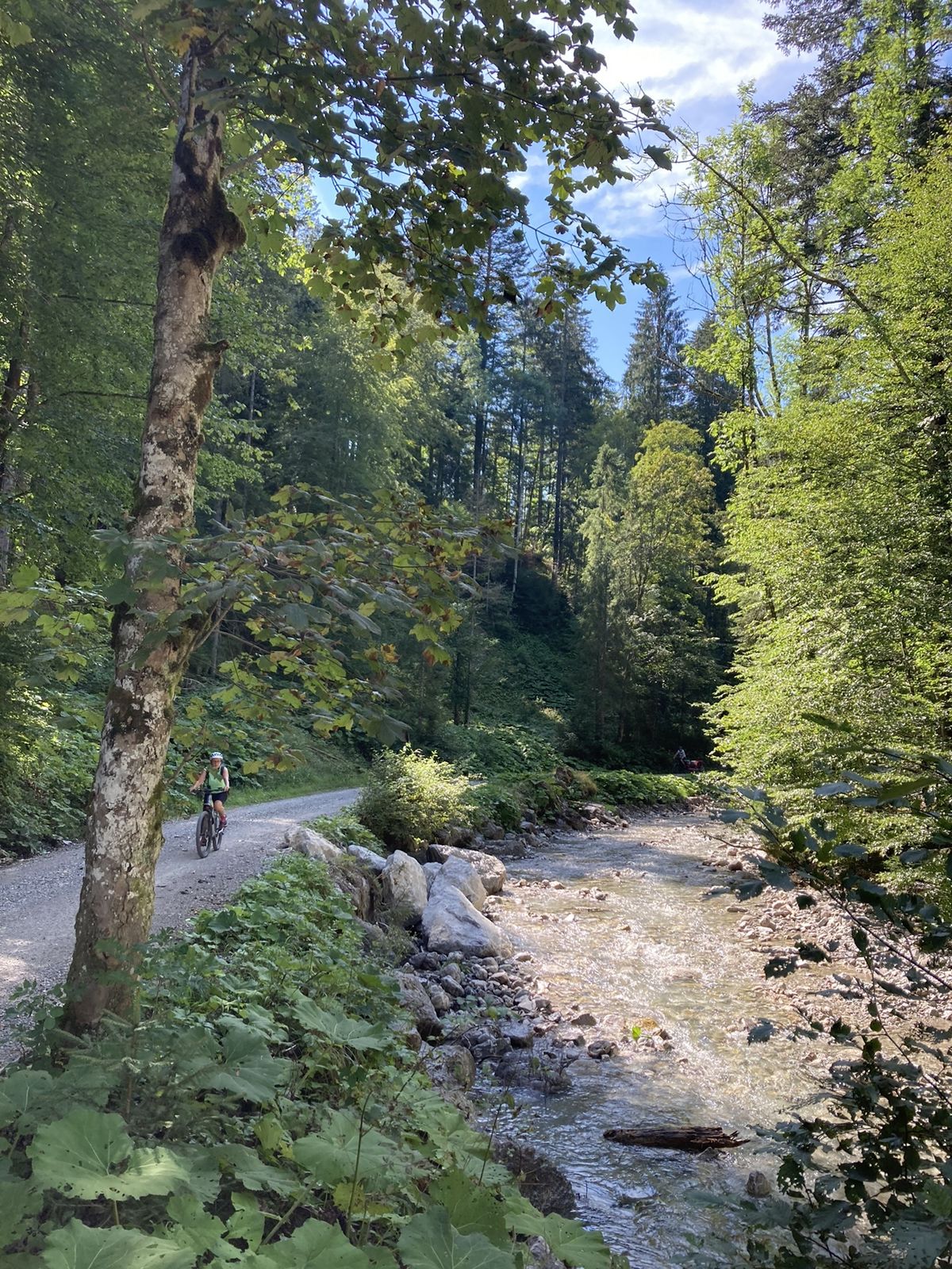
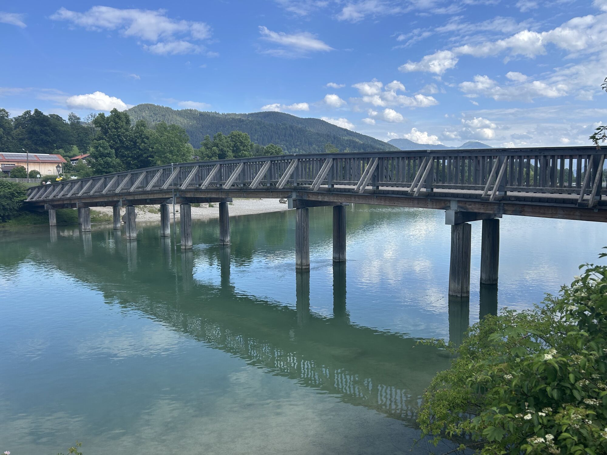
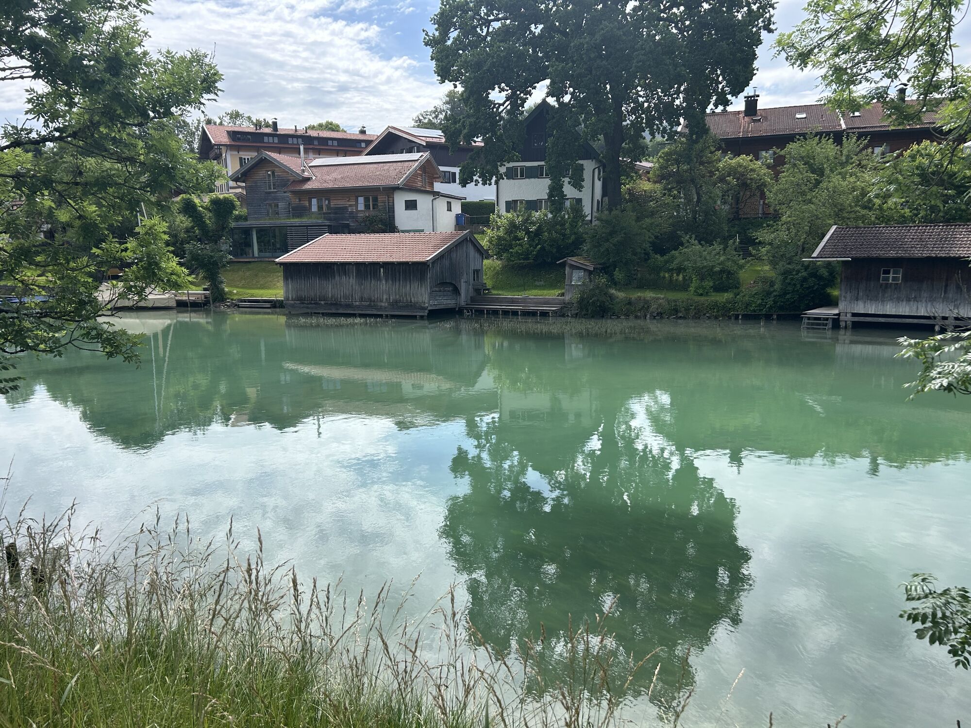
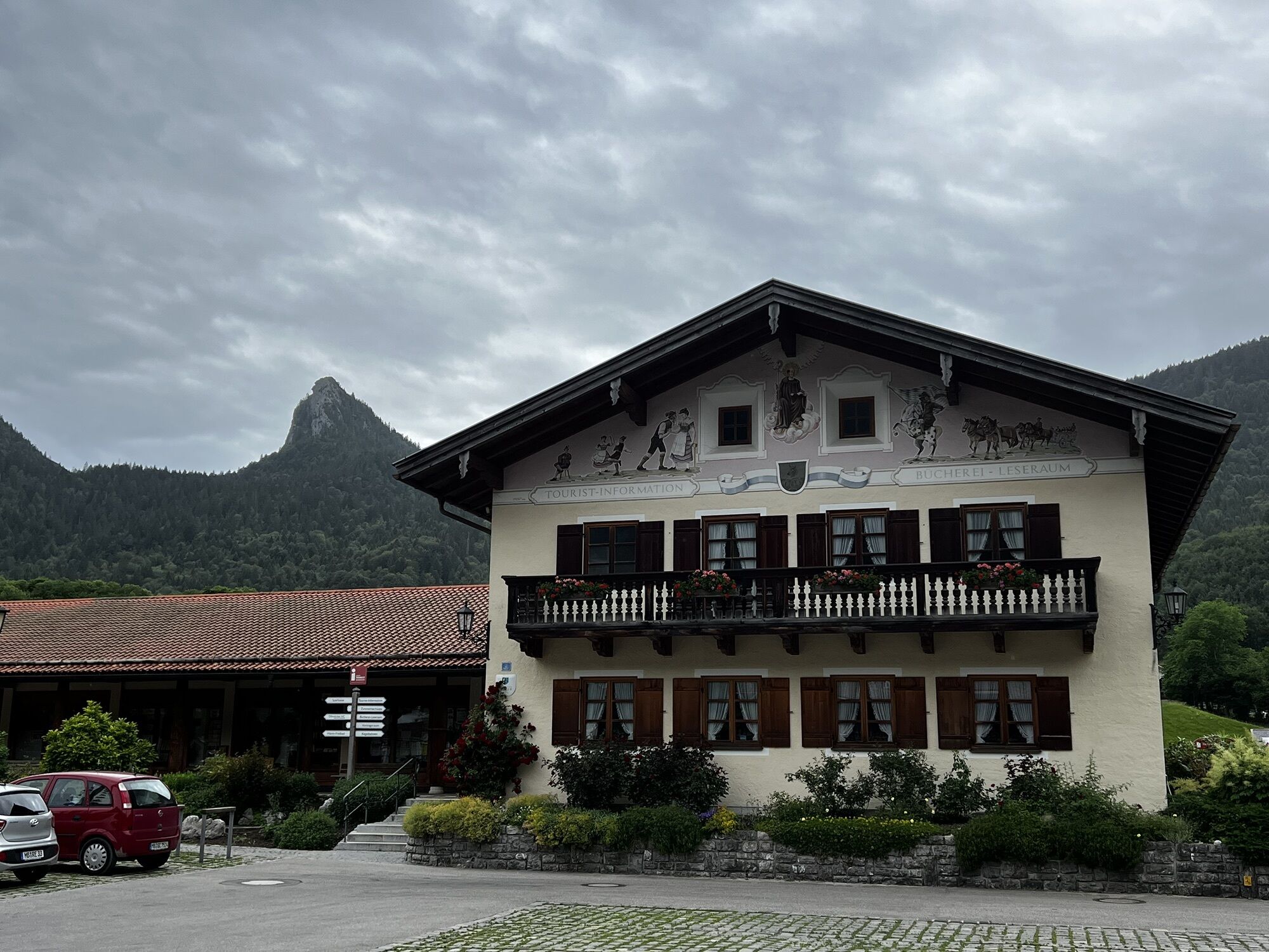

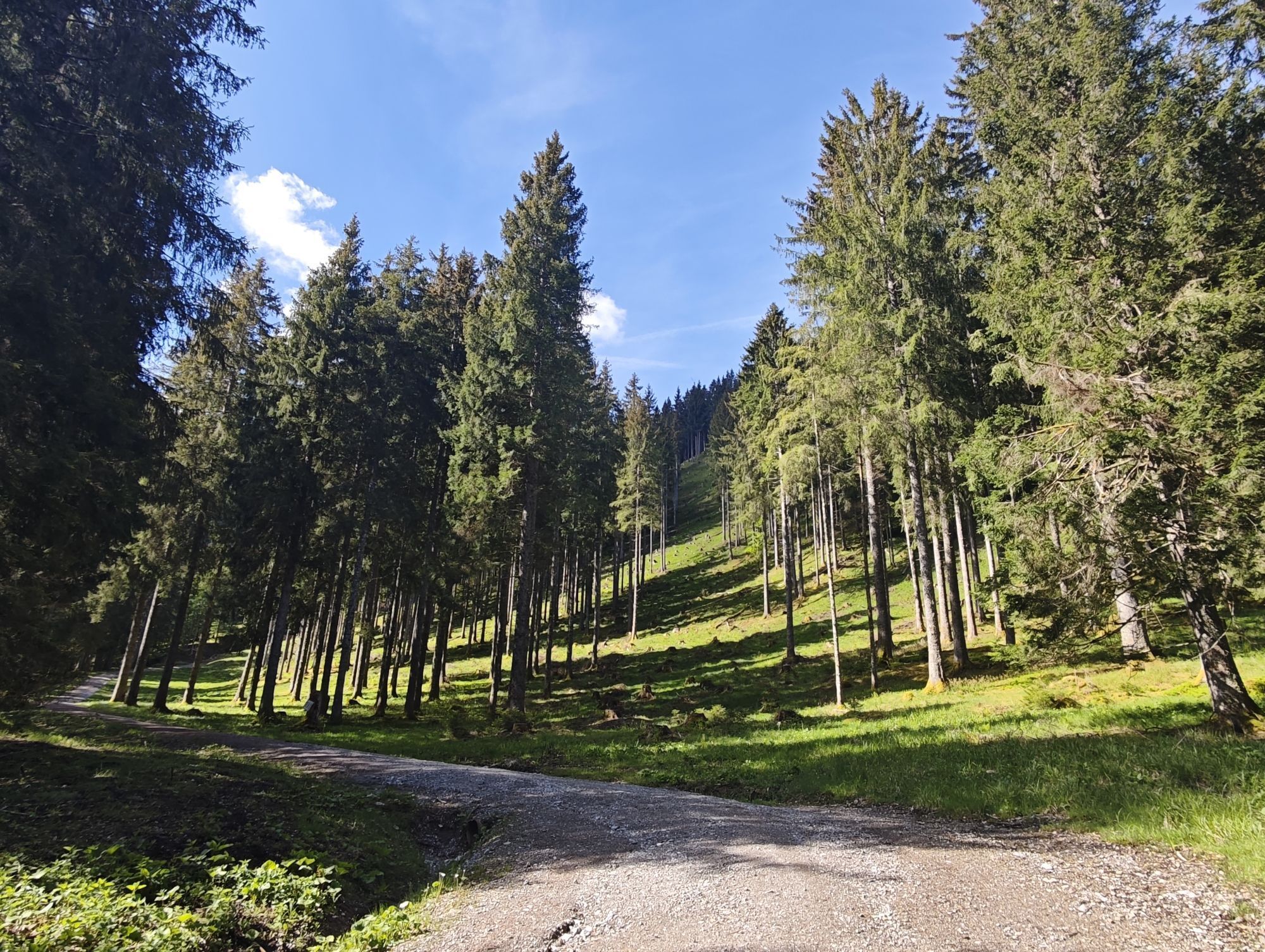
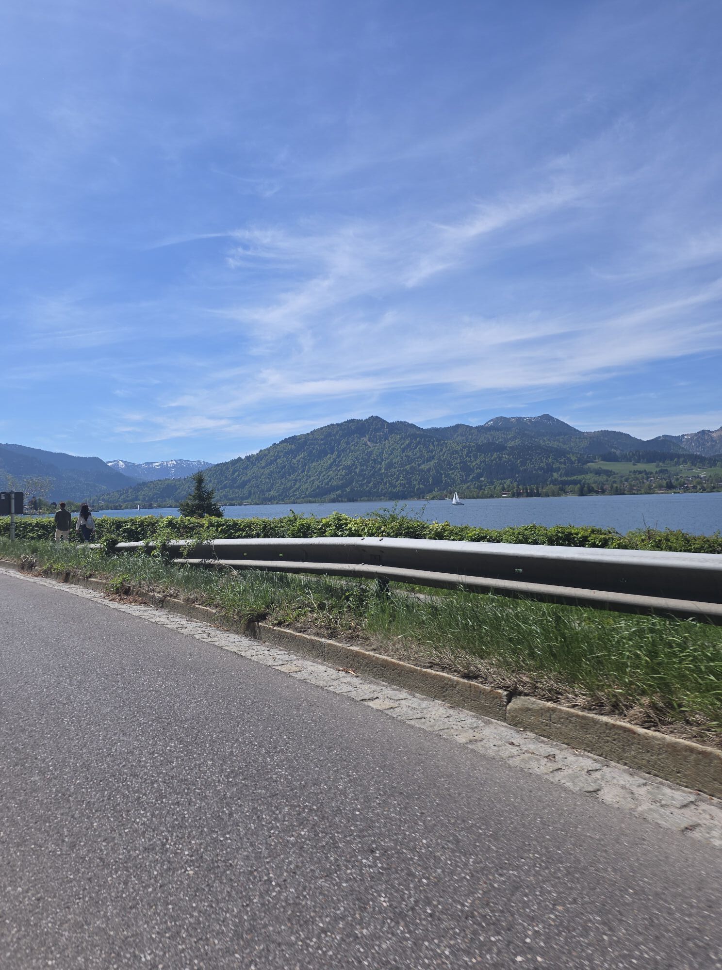
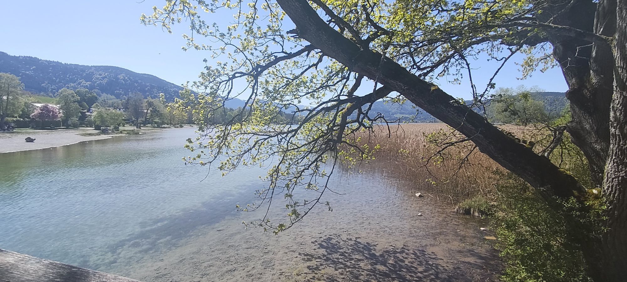
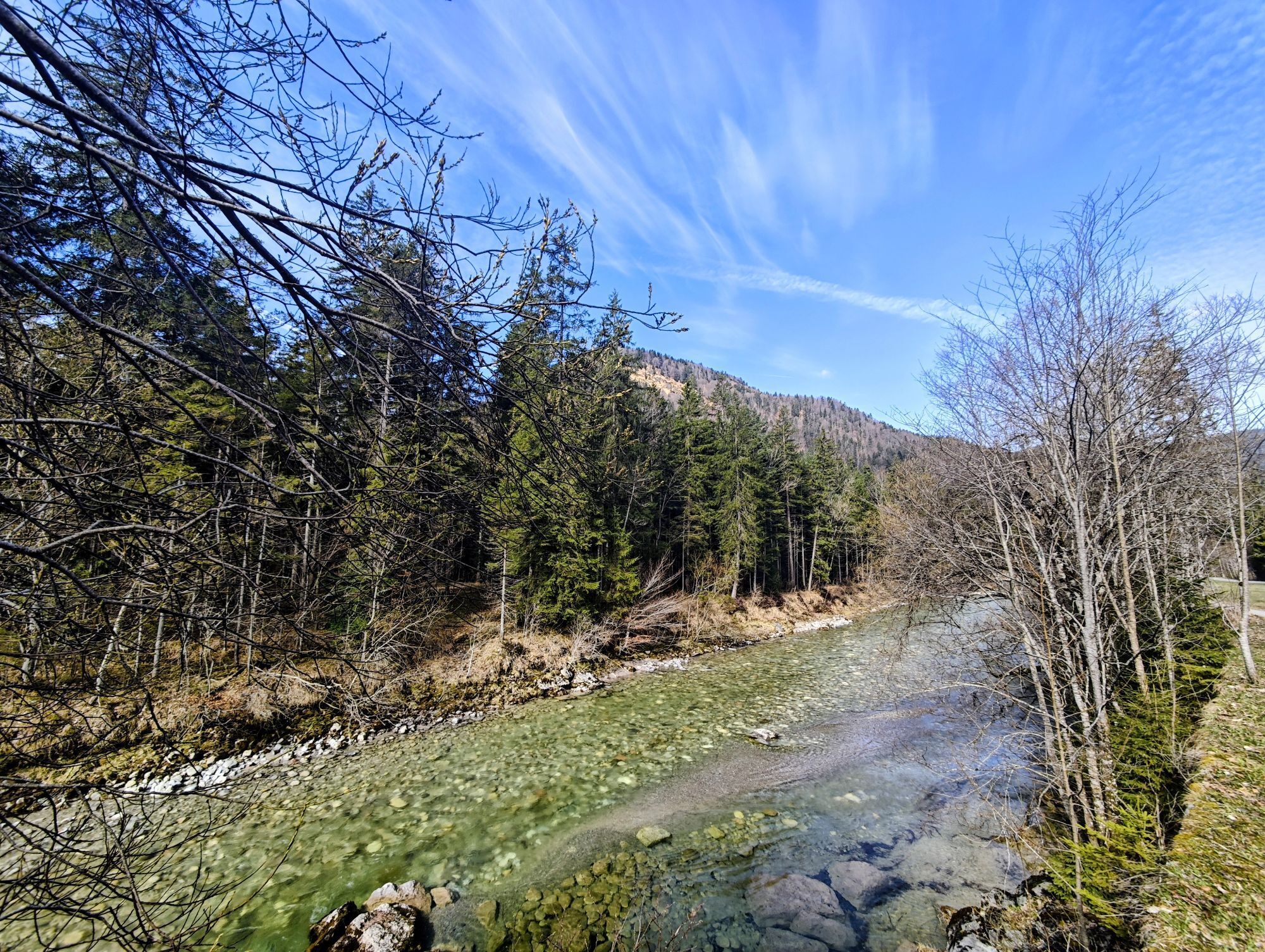
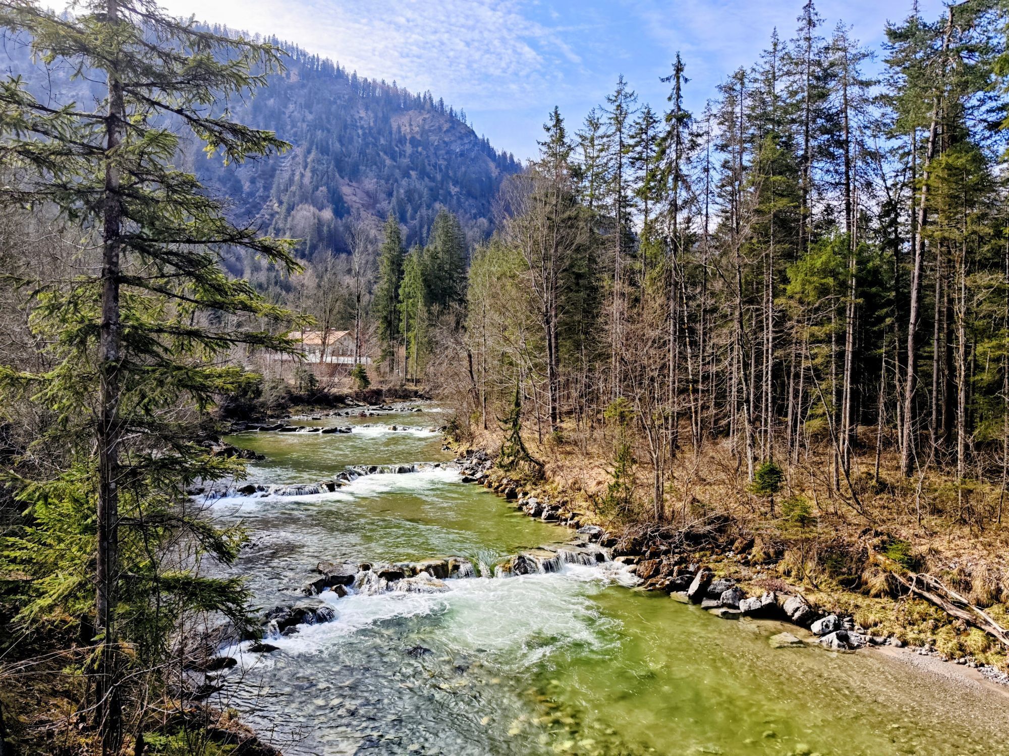
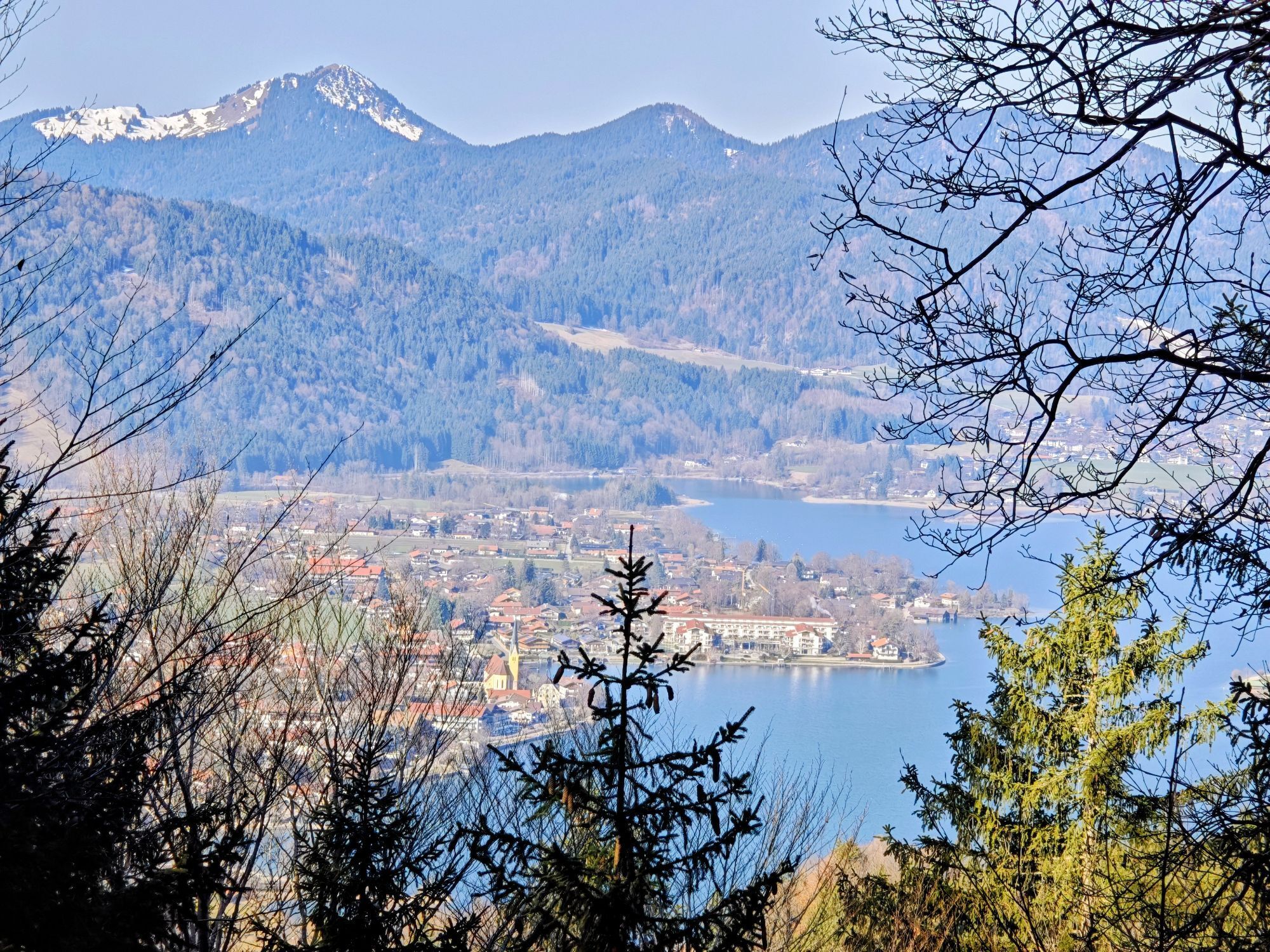
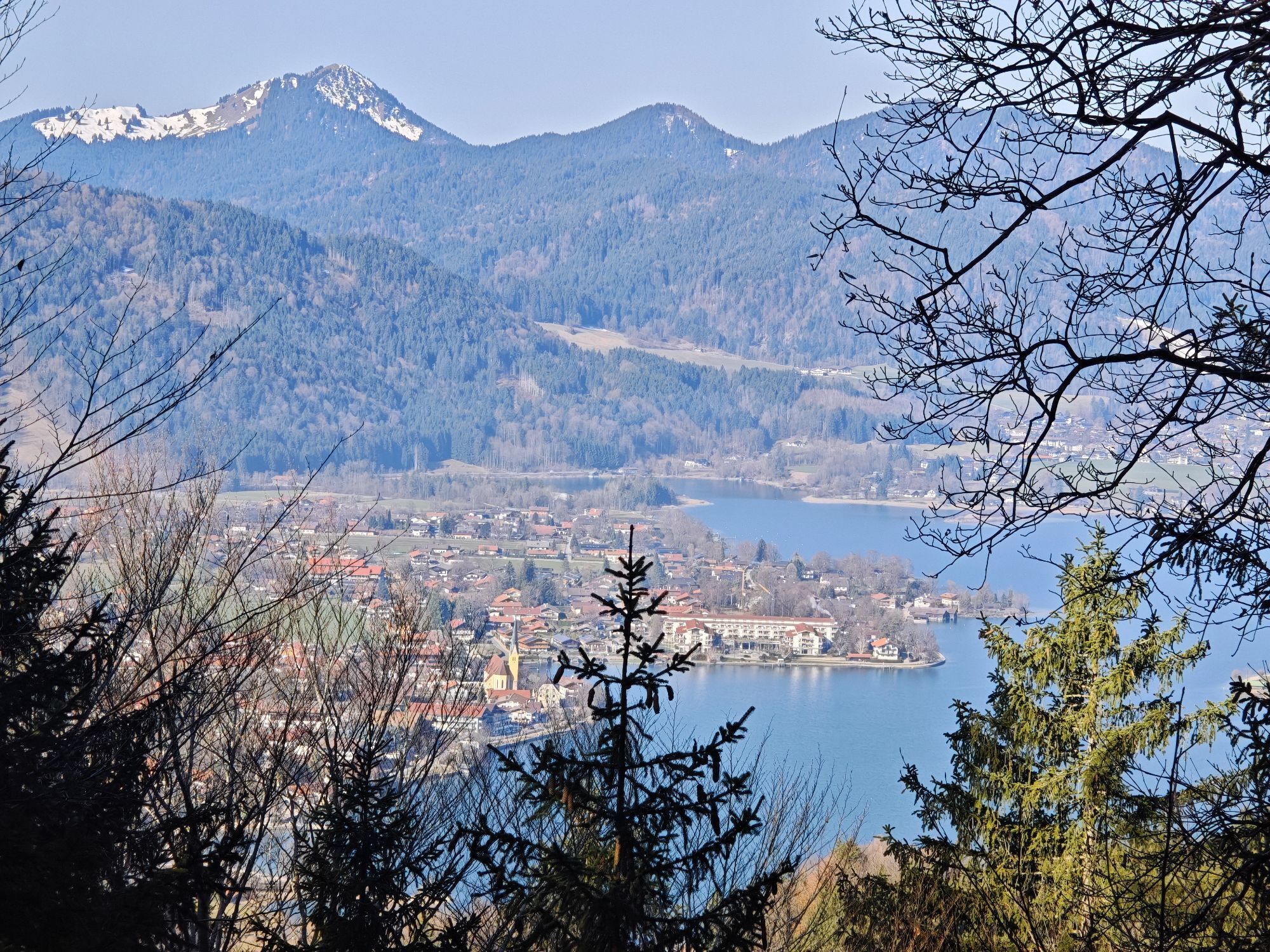
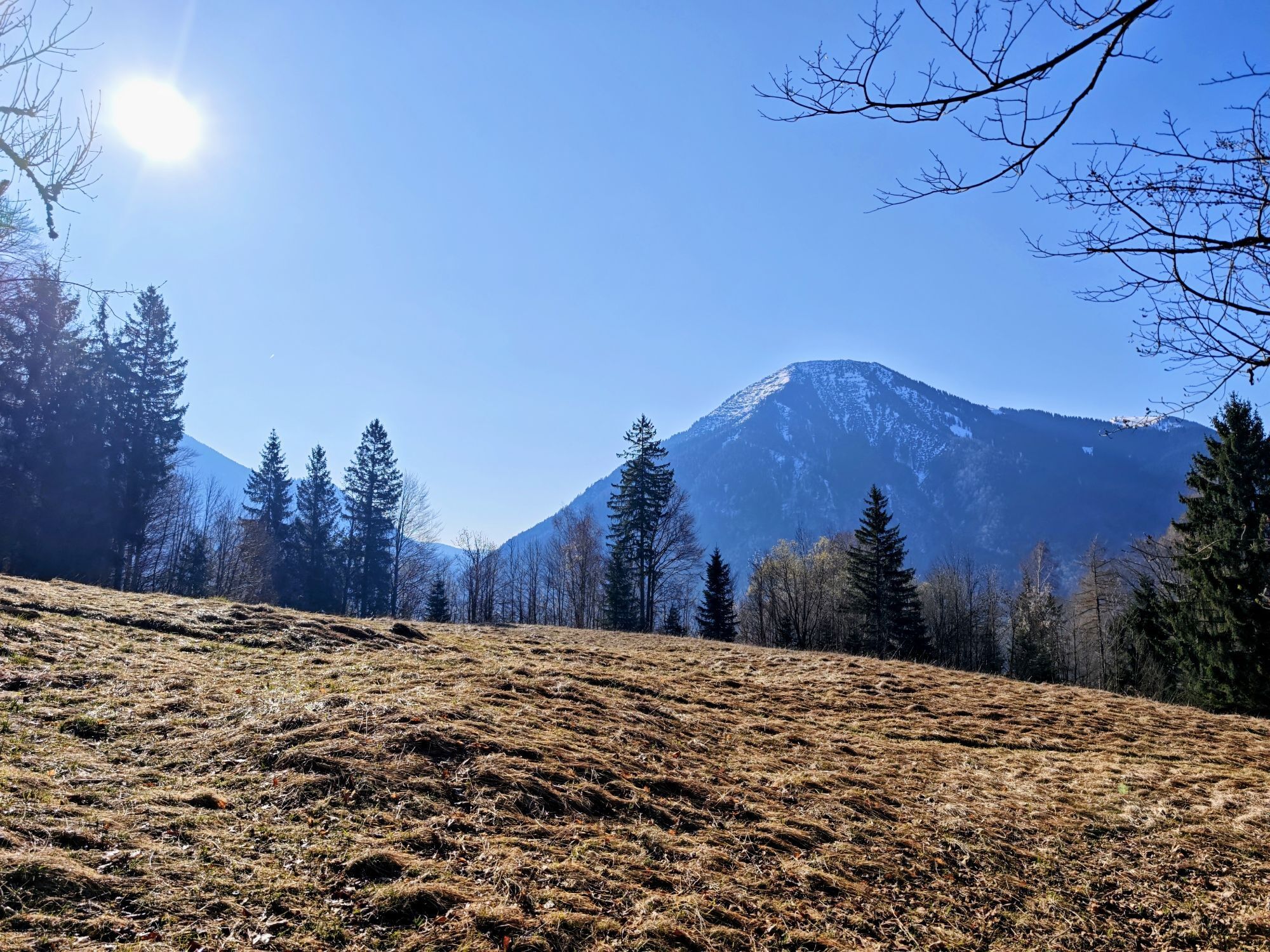
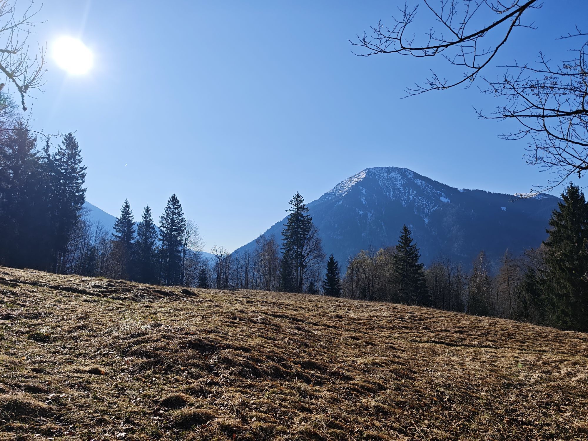
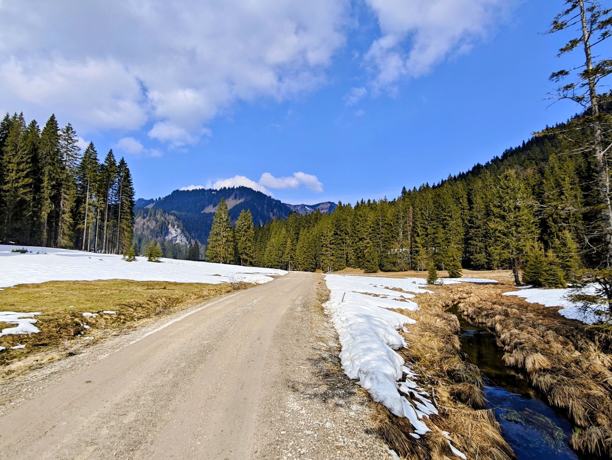
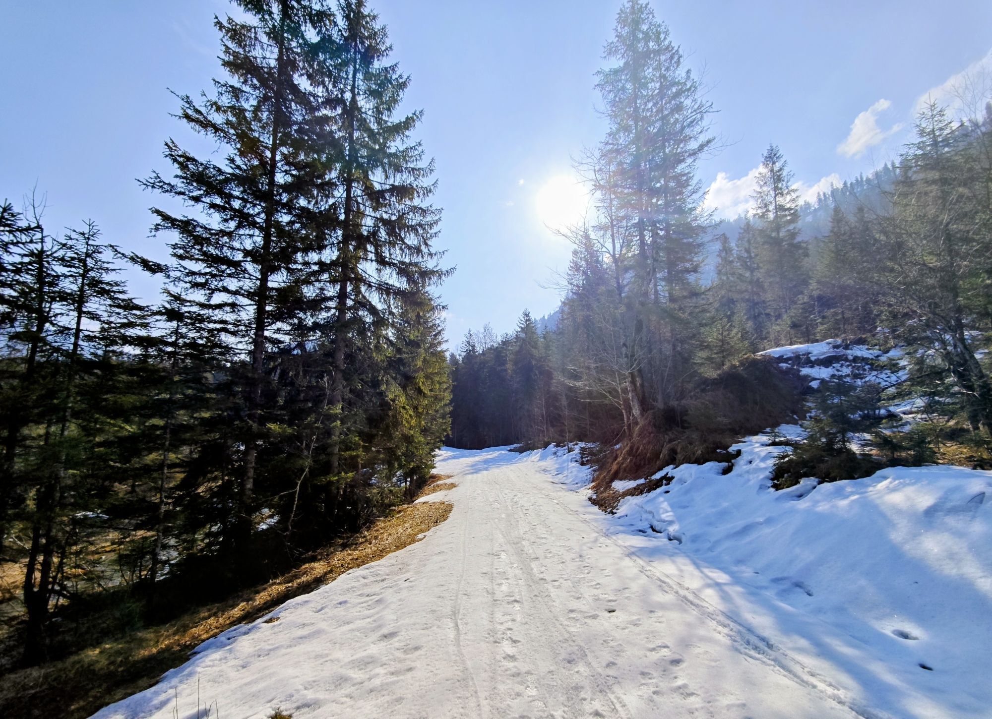
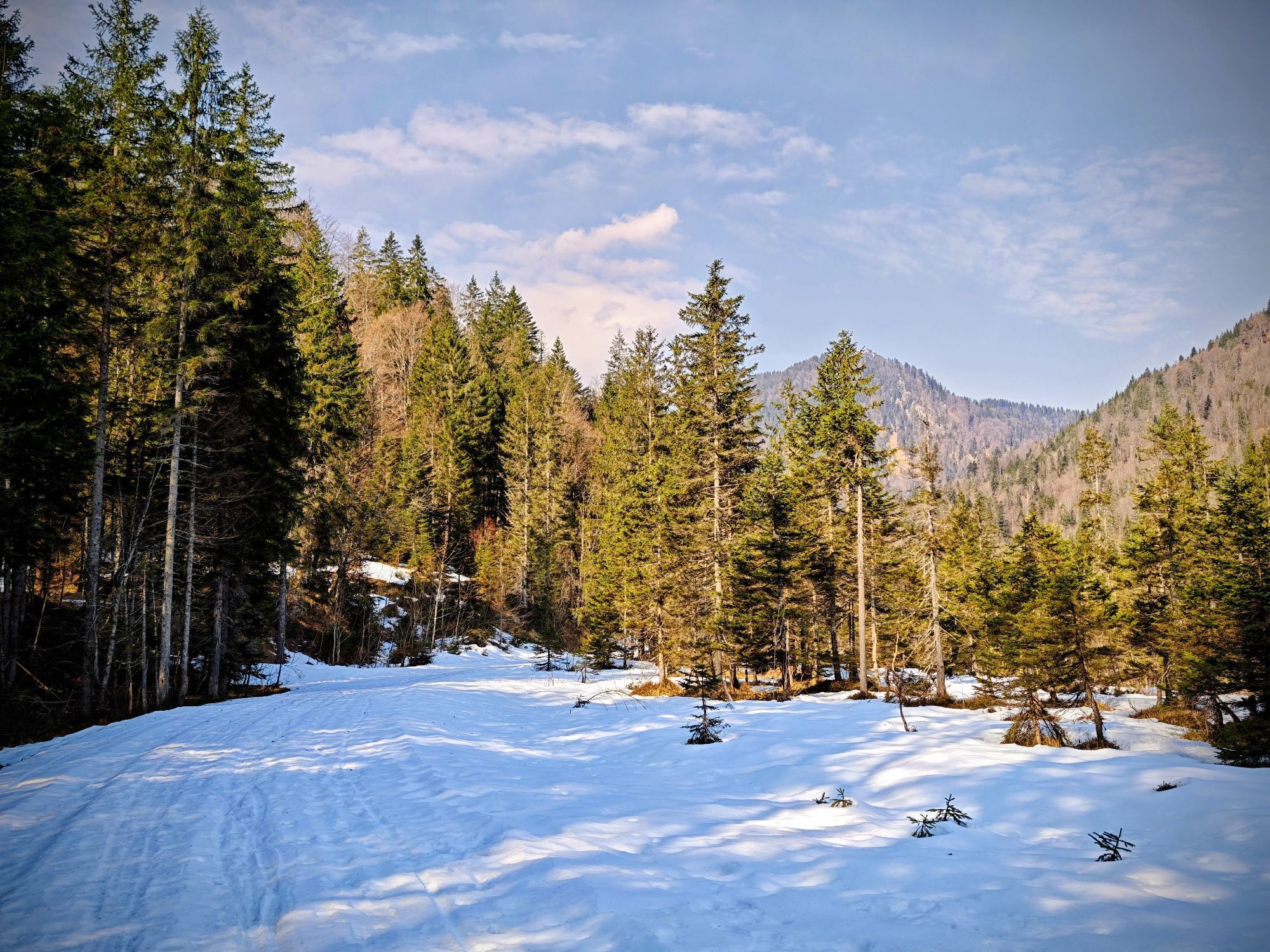
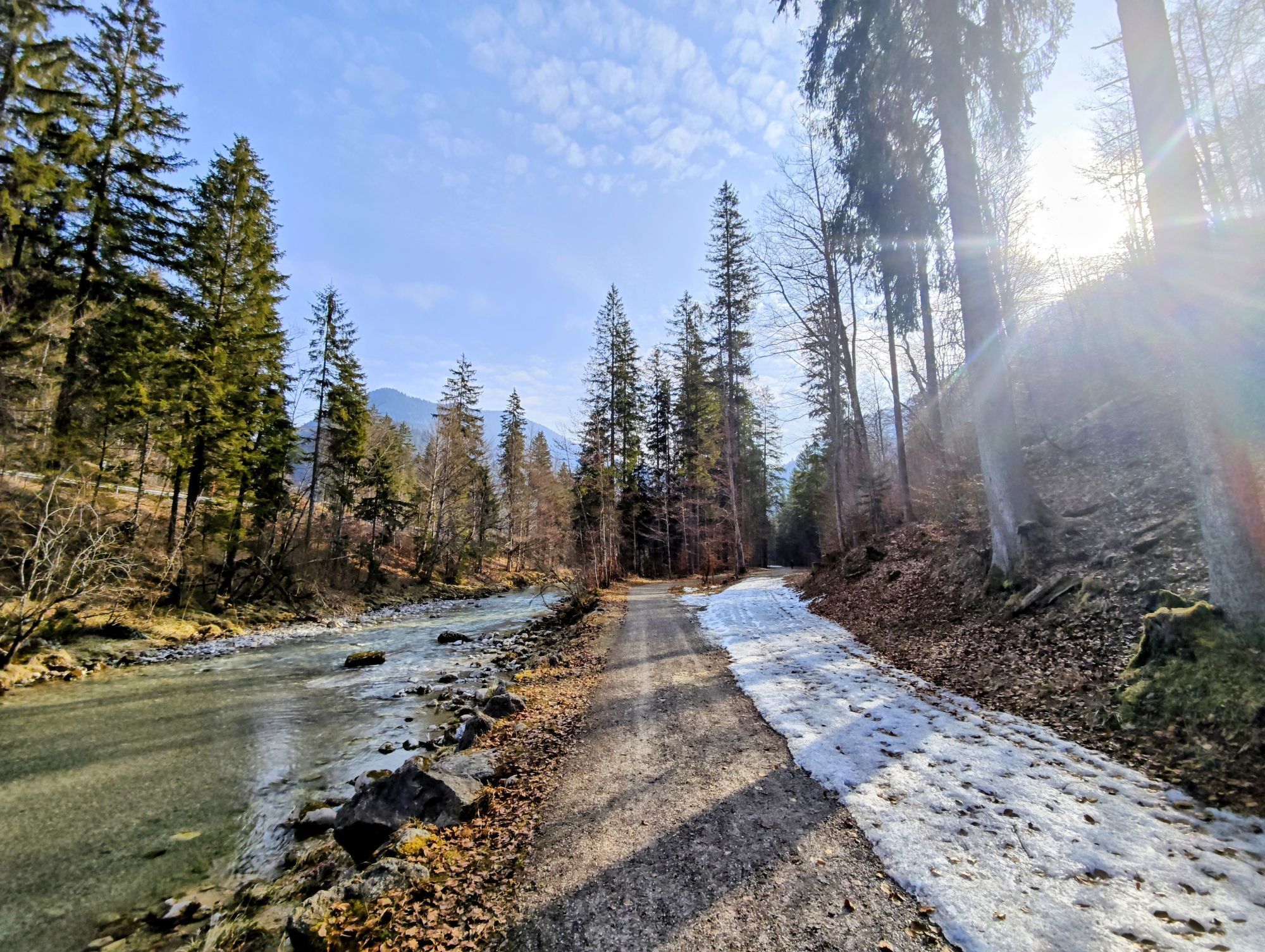
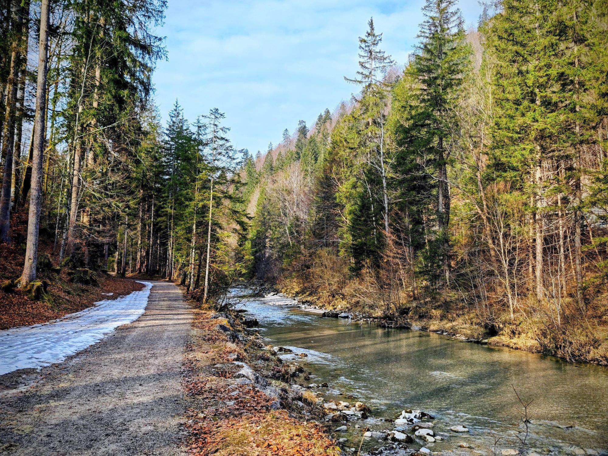
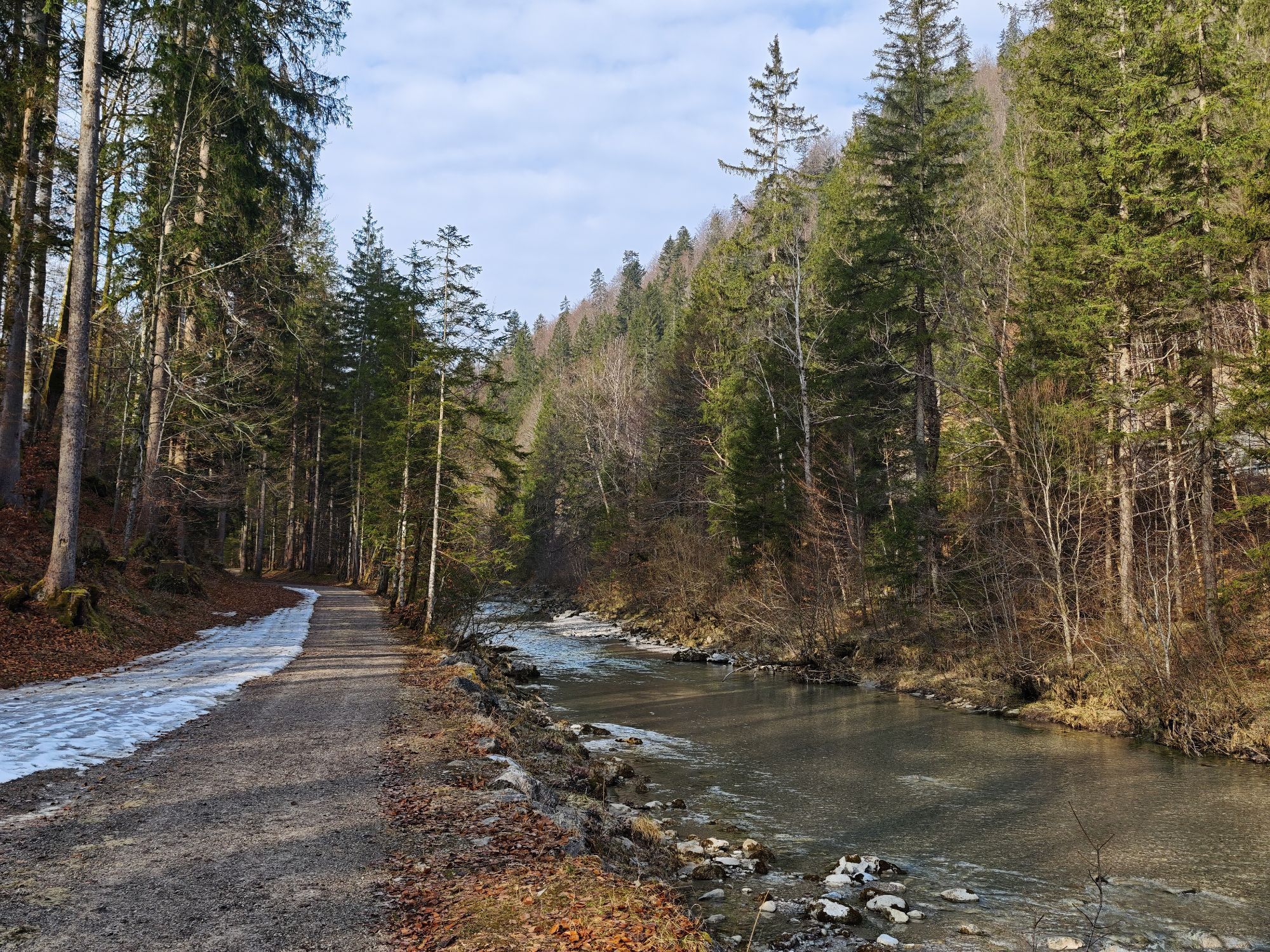
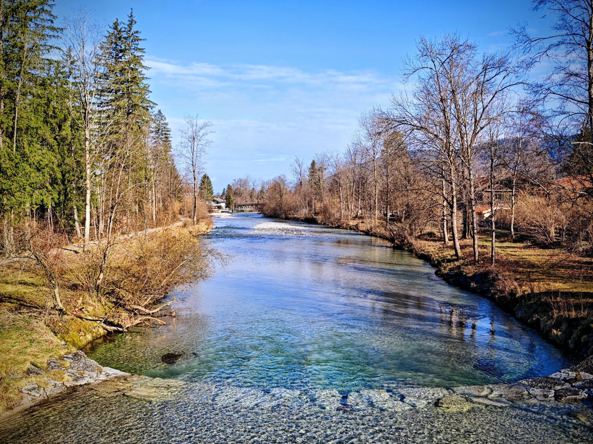
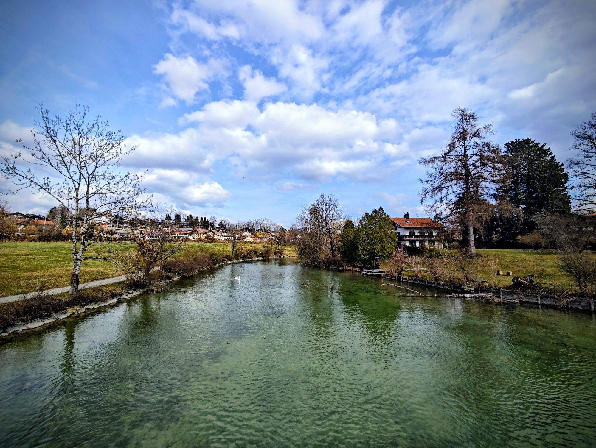
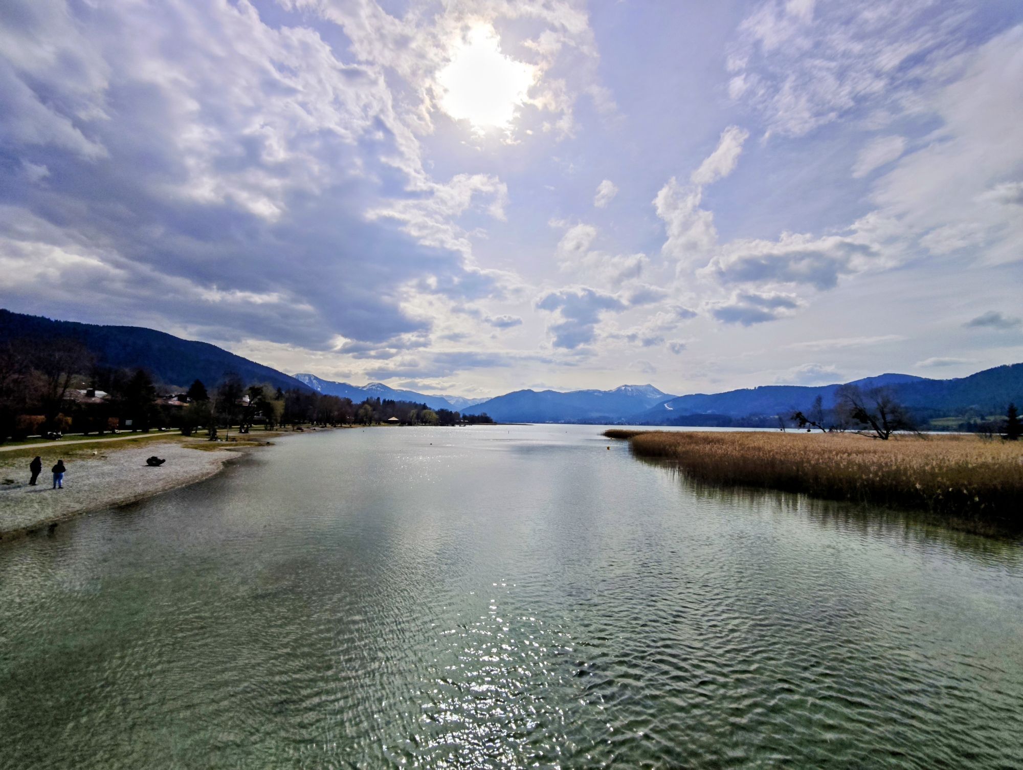
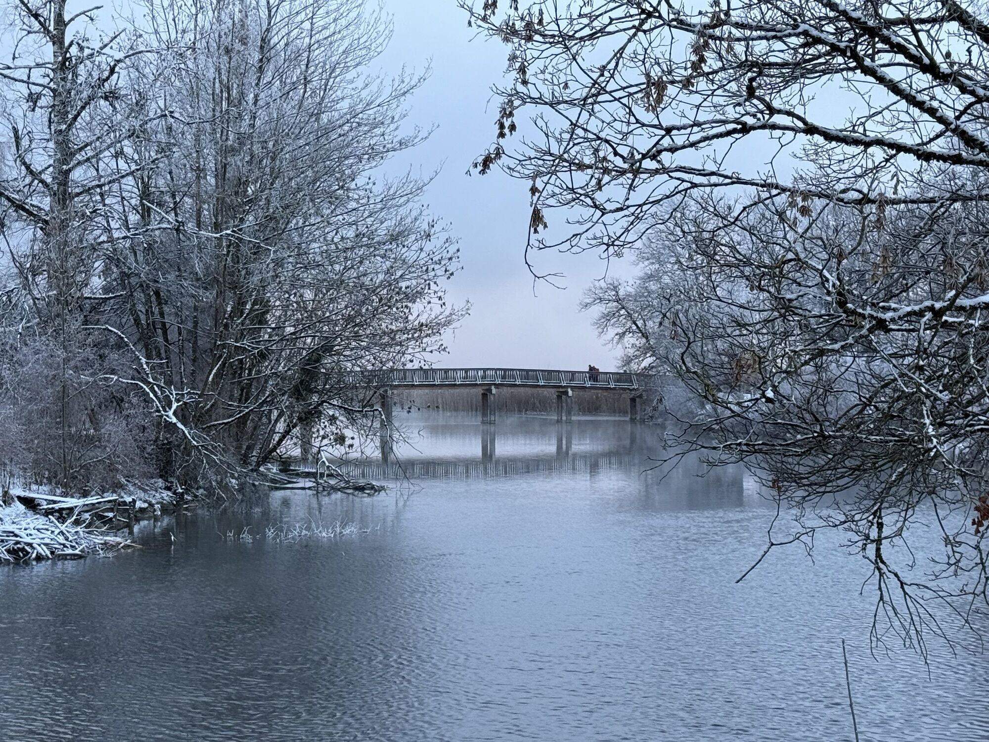
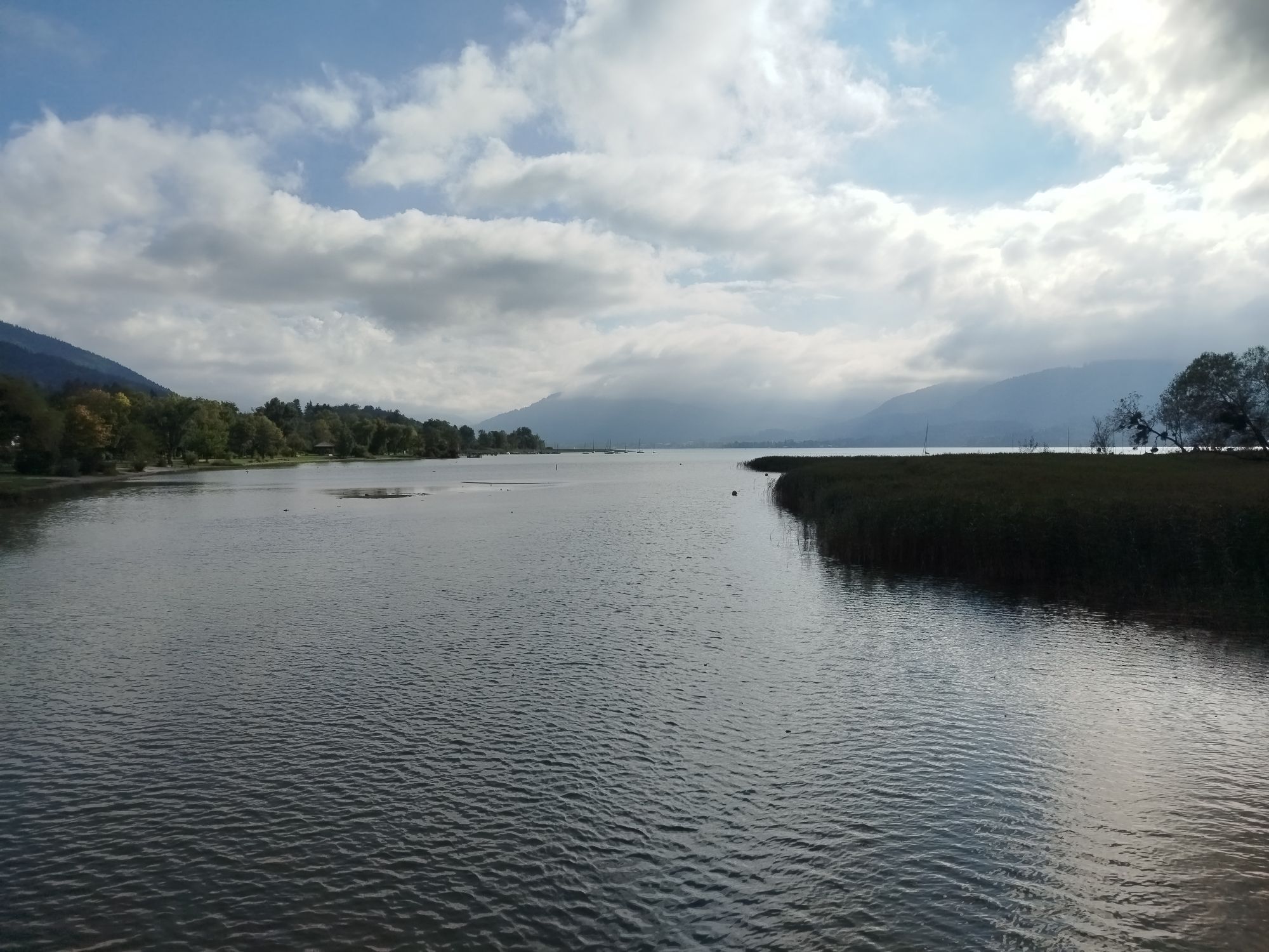
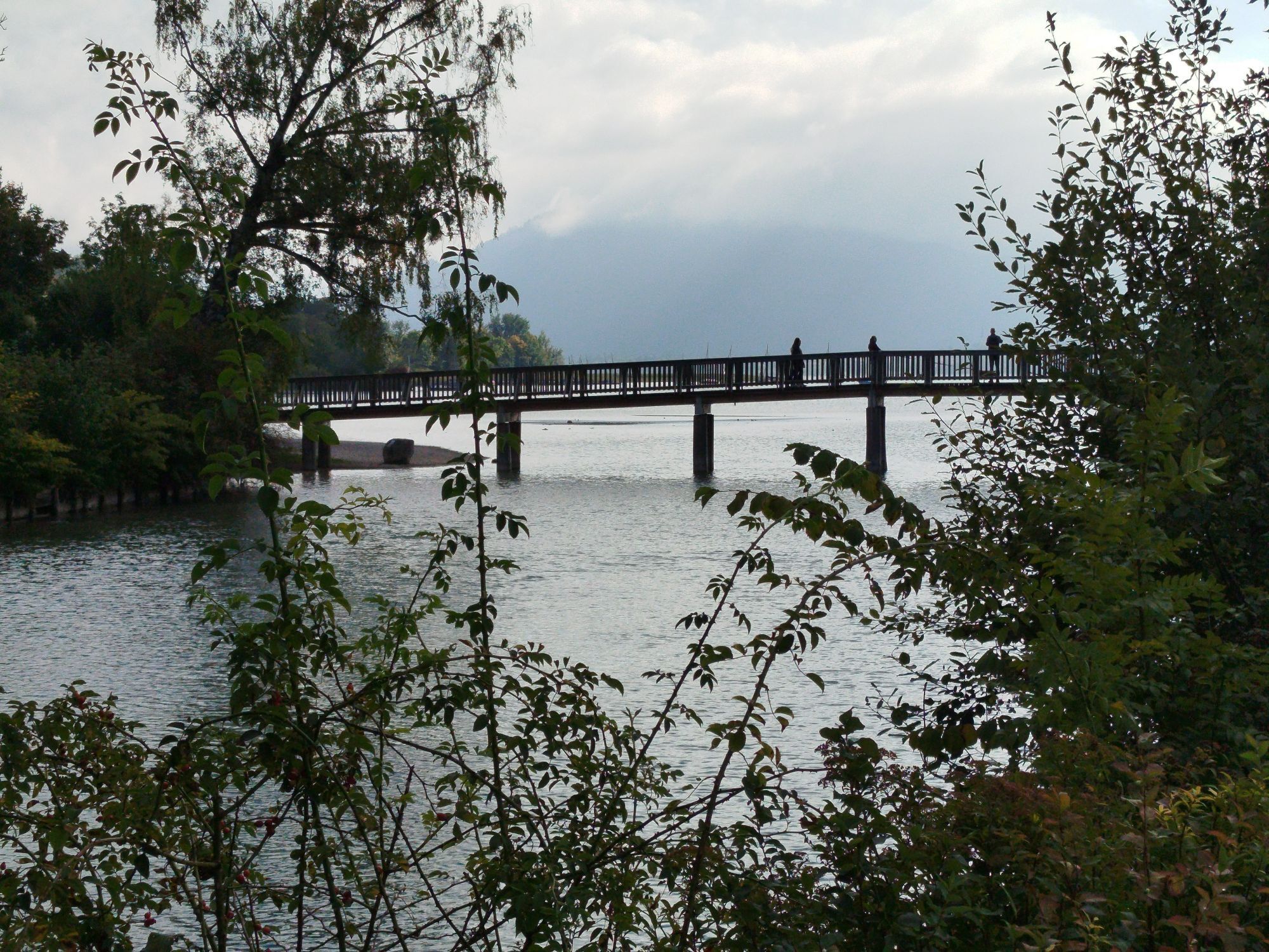
Our E-MTB gourmet route takes you once around the lake and into the Tegernsee mountain world. After starting in the town of Tegernsee, you discover the farms of Rottach-Egern and ride through the picturesque...
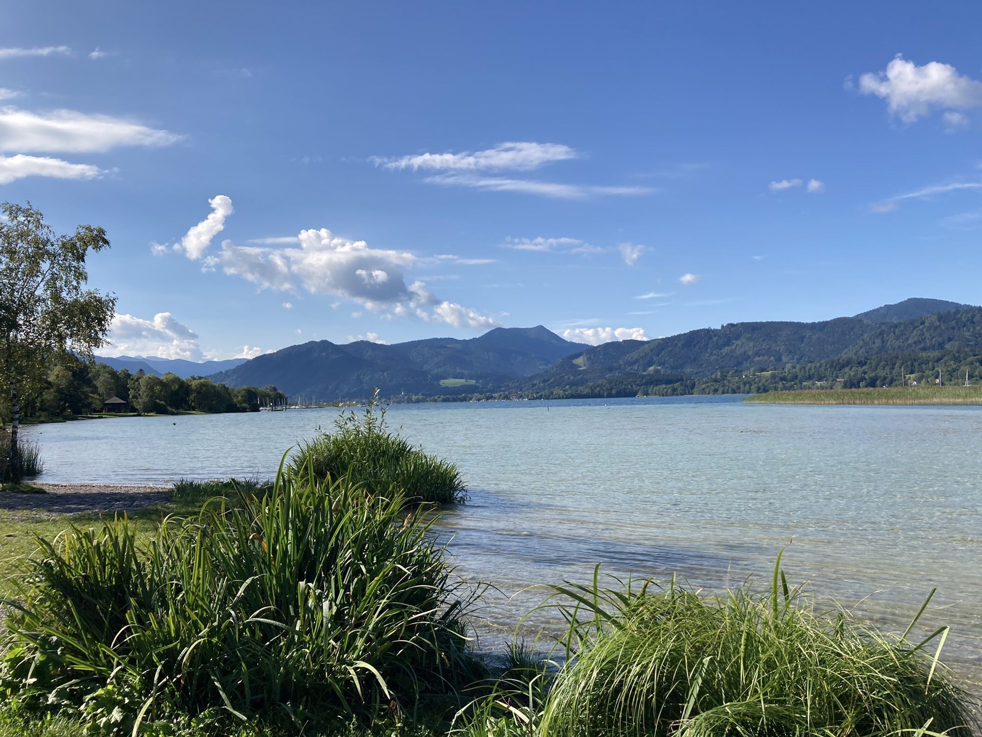
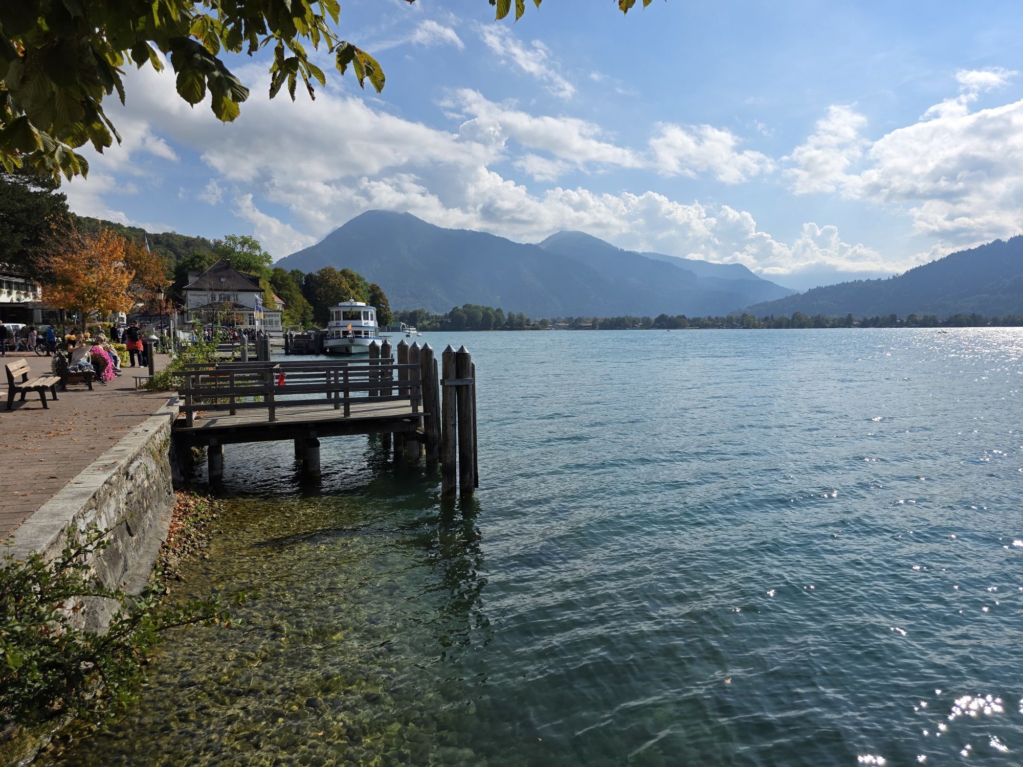
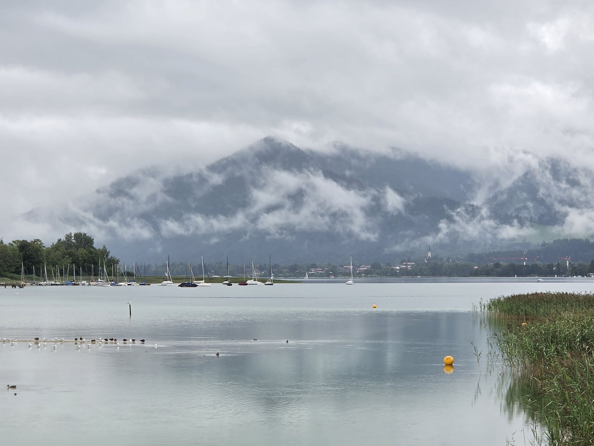
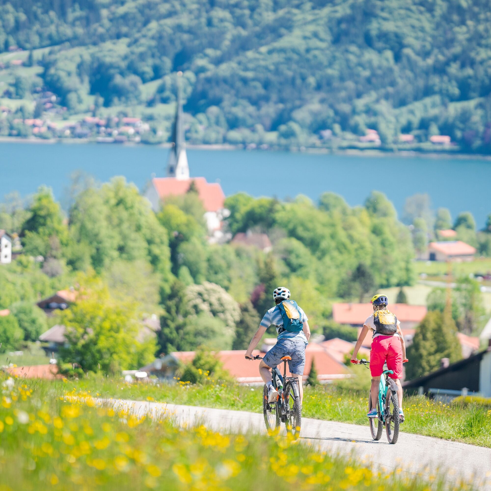
Our E-MTB gourmet route takes you once around the lake and into the Tegernsee mountain world. After starting in the town of Tegernsee, you discover the farms of Rottach-Egern and ride through the picturesque Weissachau to the mountain climber village of Kreuth. The tour then leads upstream along the Weißach and Schwarzenbach rivers to Schwarzentenn Alm. Next, it continues past "Bauer in der Au" to Bad Wiessee and via the district "Holz" to Gut Kaltenbrunn. It opens the most beautiful view southwards over Tegernsee up to the Blaubergen. The return to the starting point is made via the lake circuit passing Gmund and Seeglas.

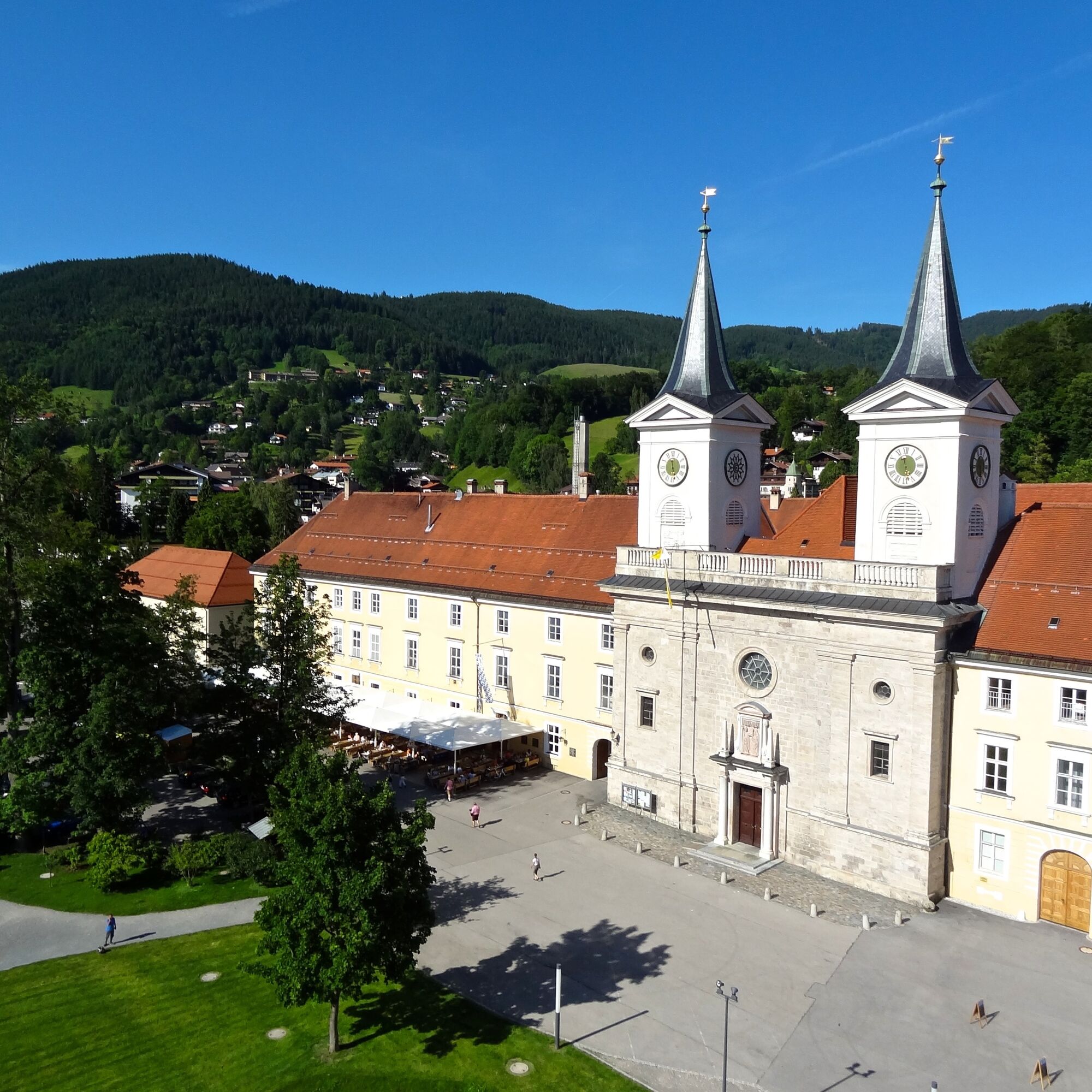
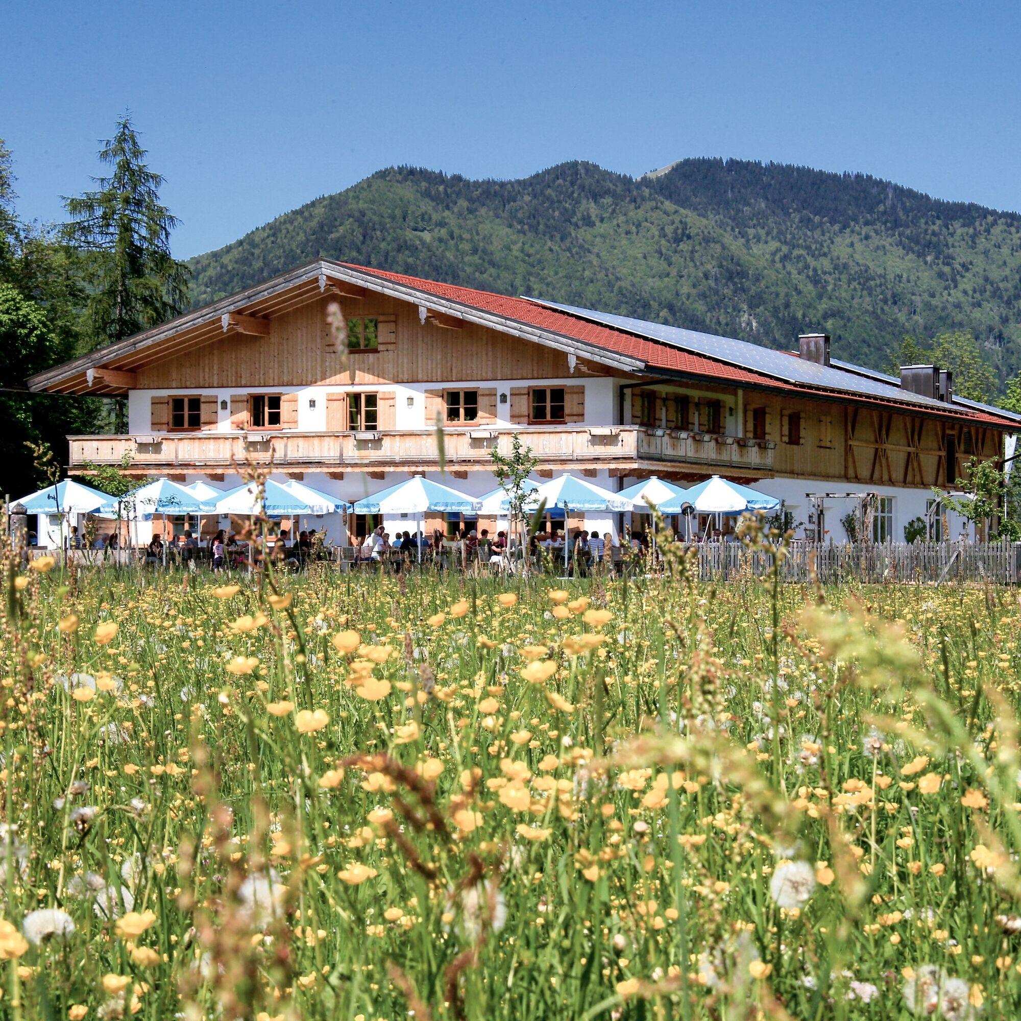
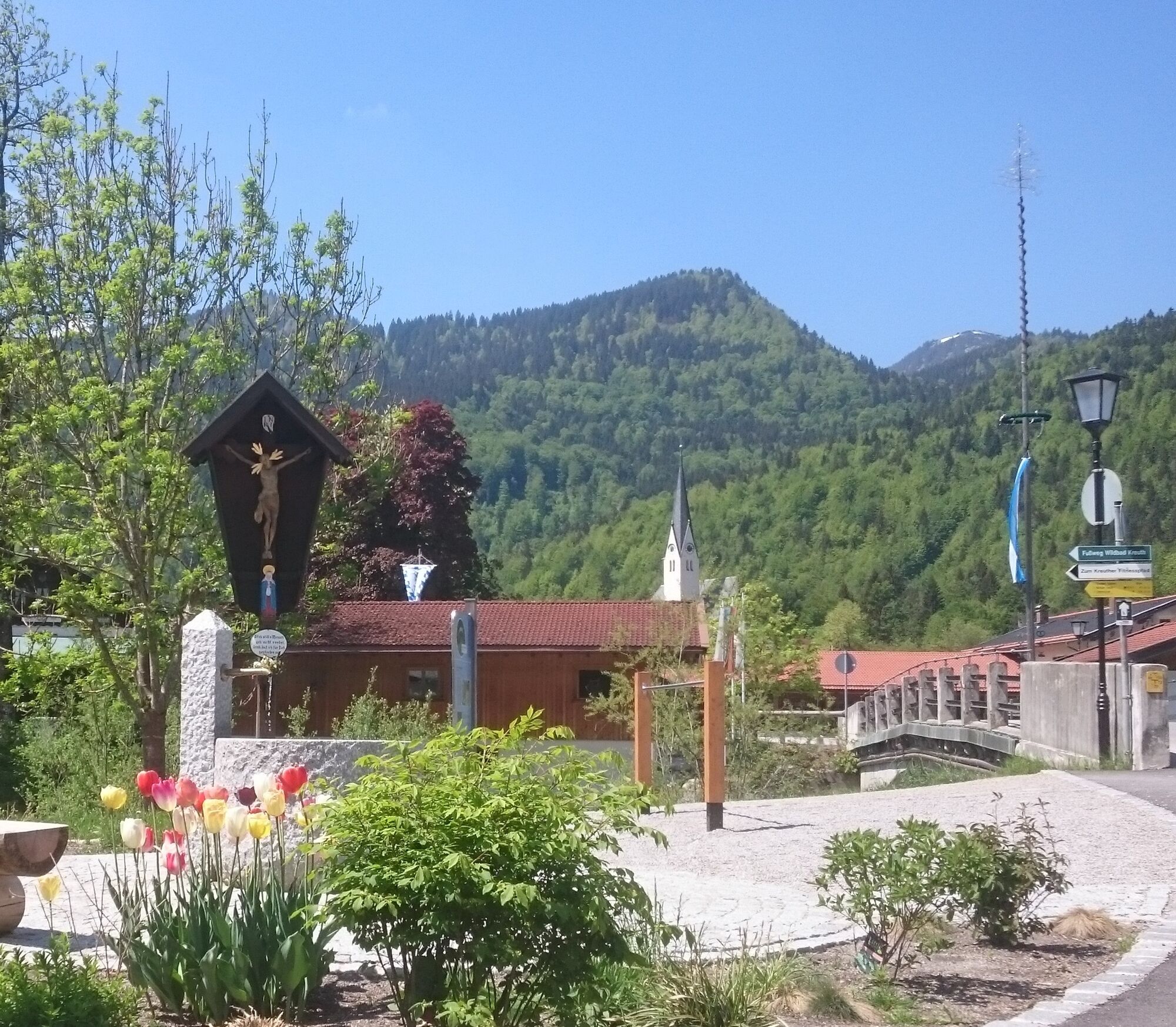
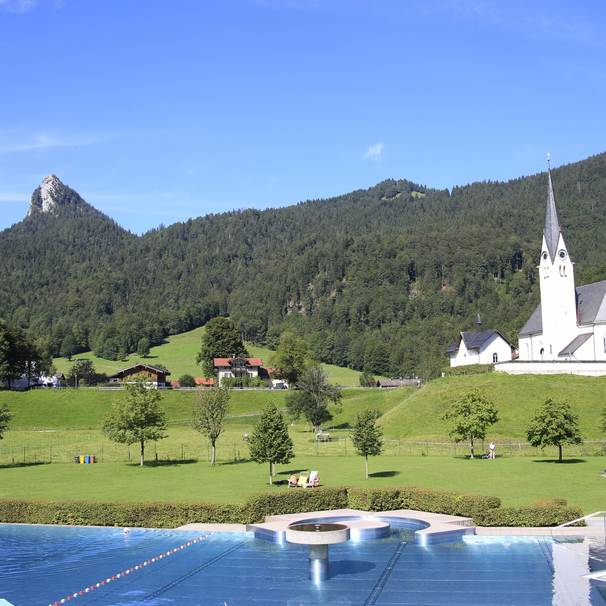
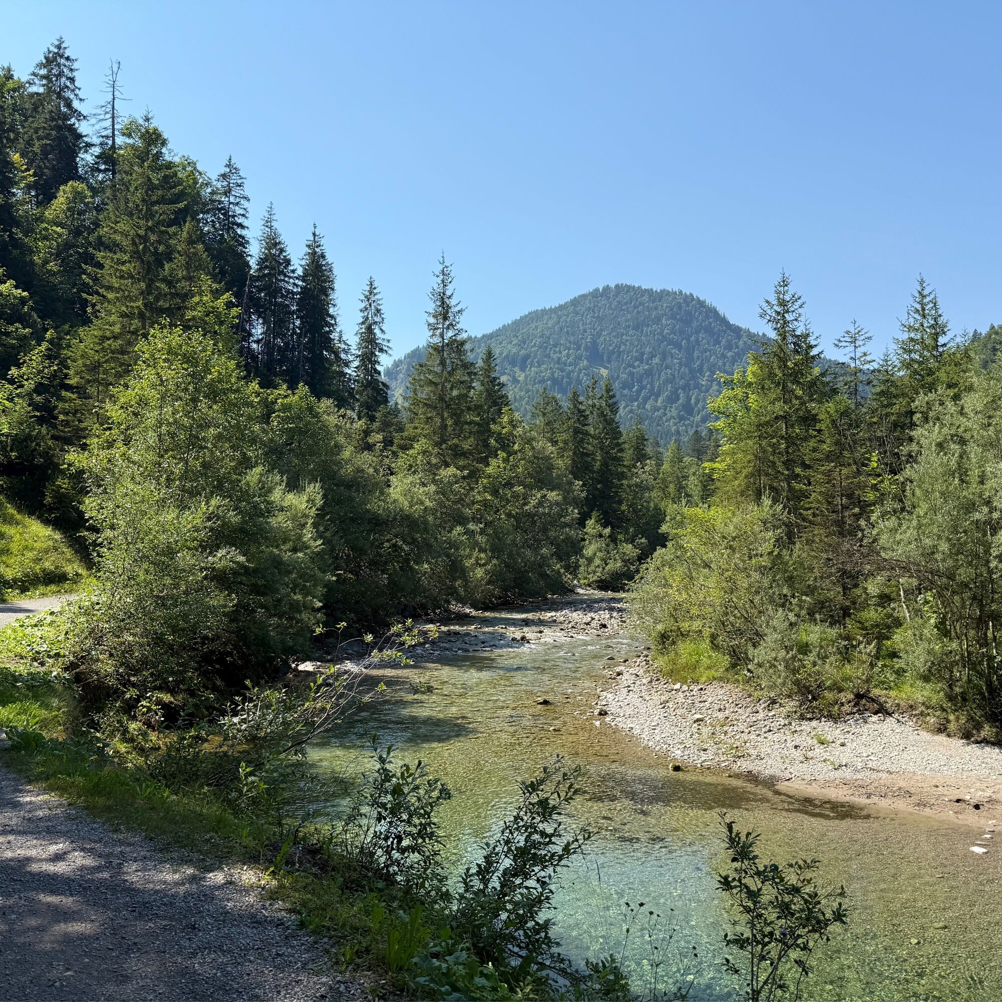
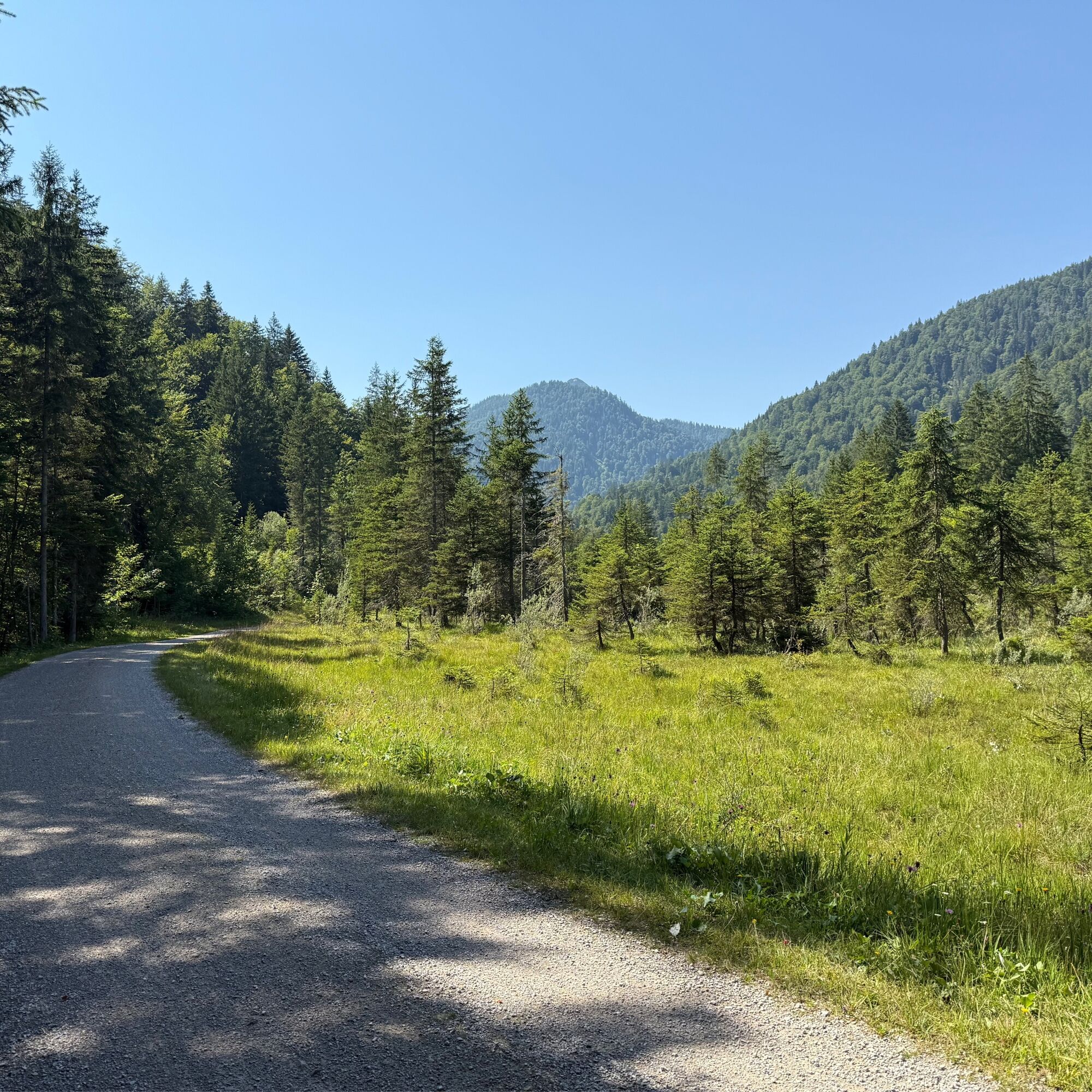
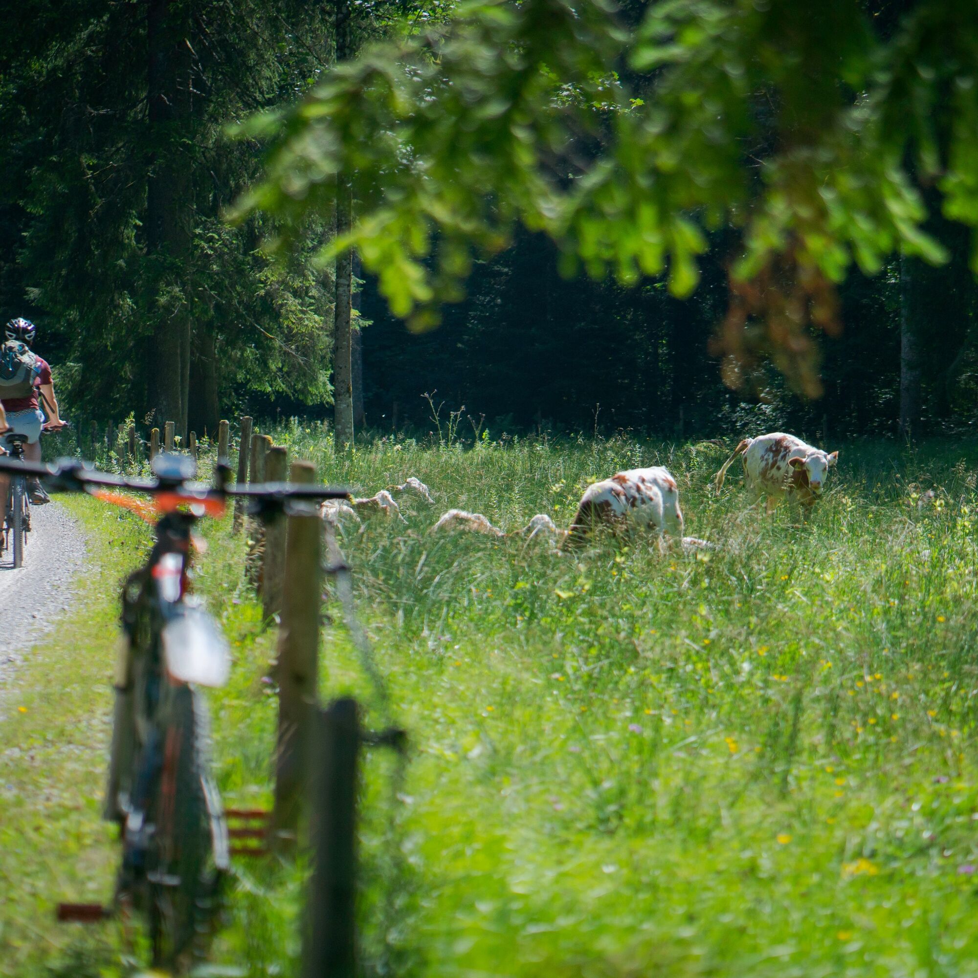
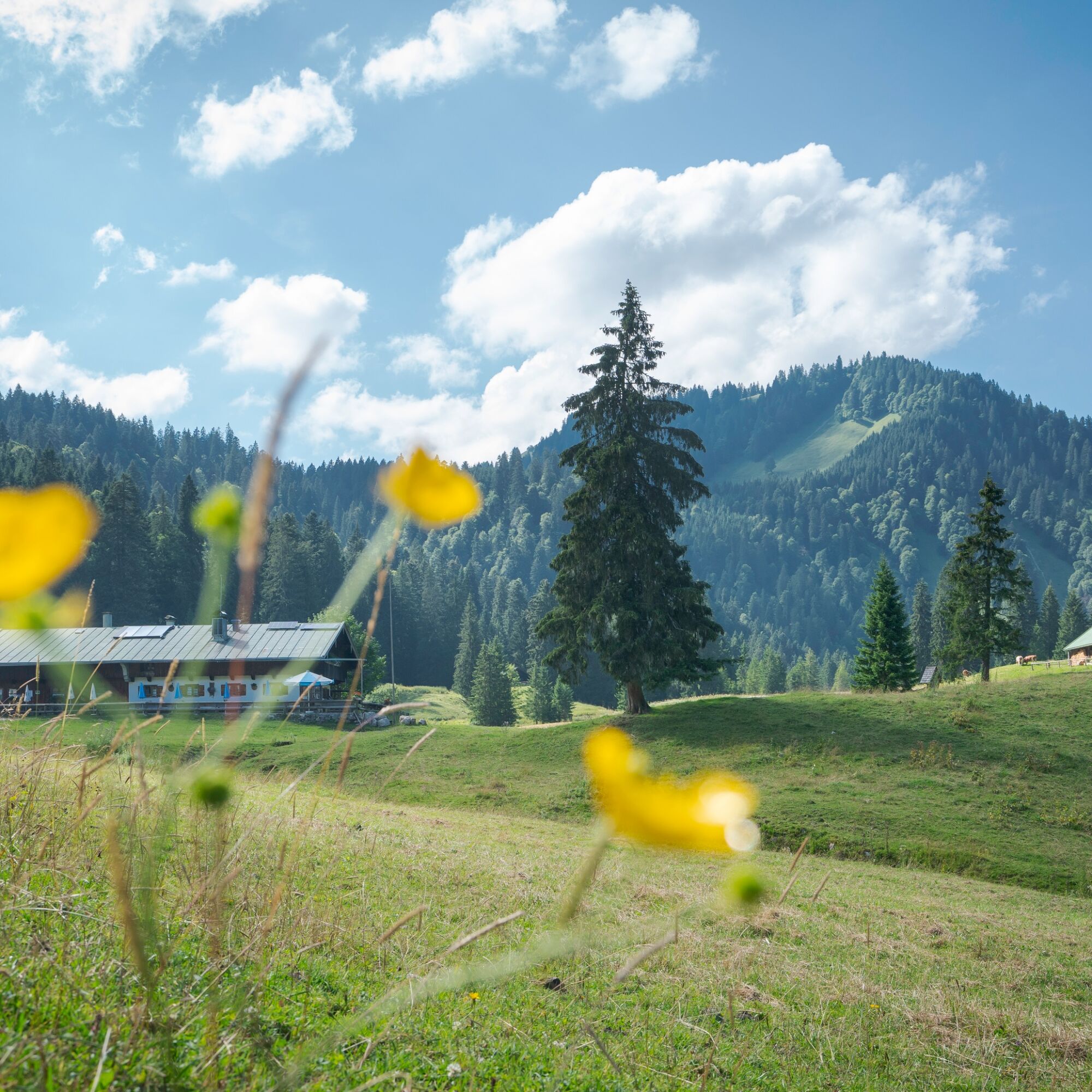
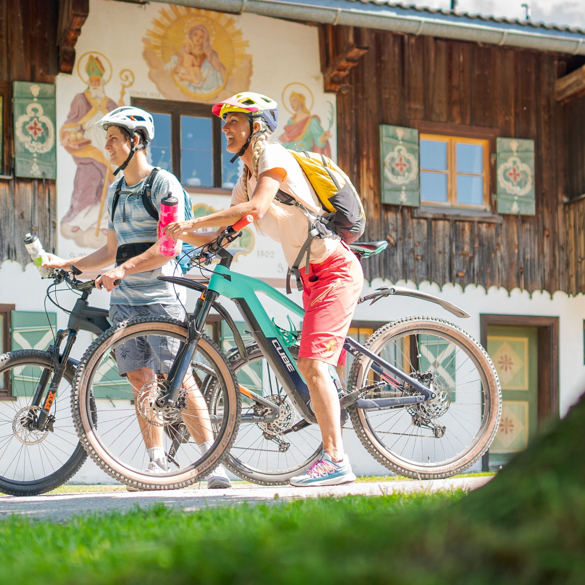
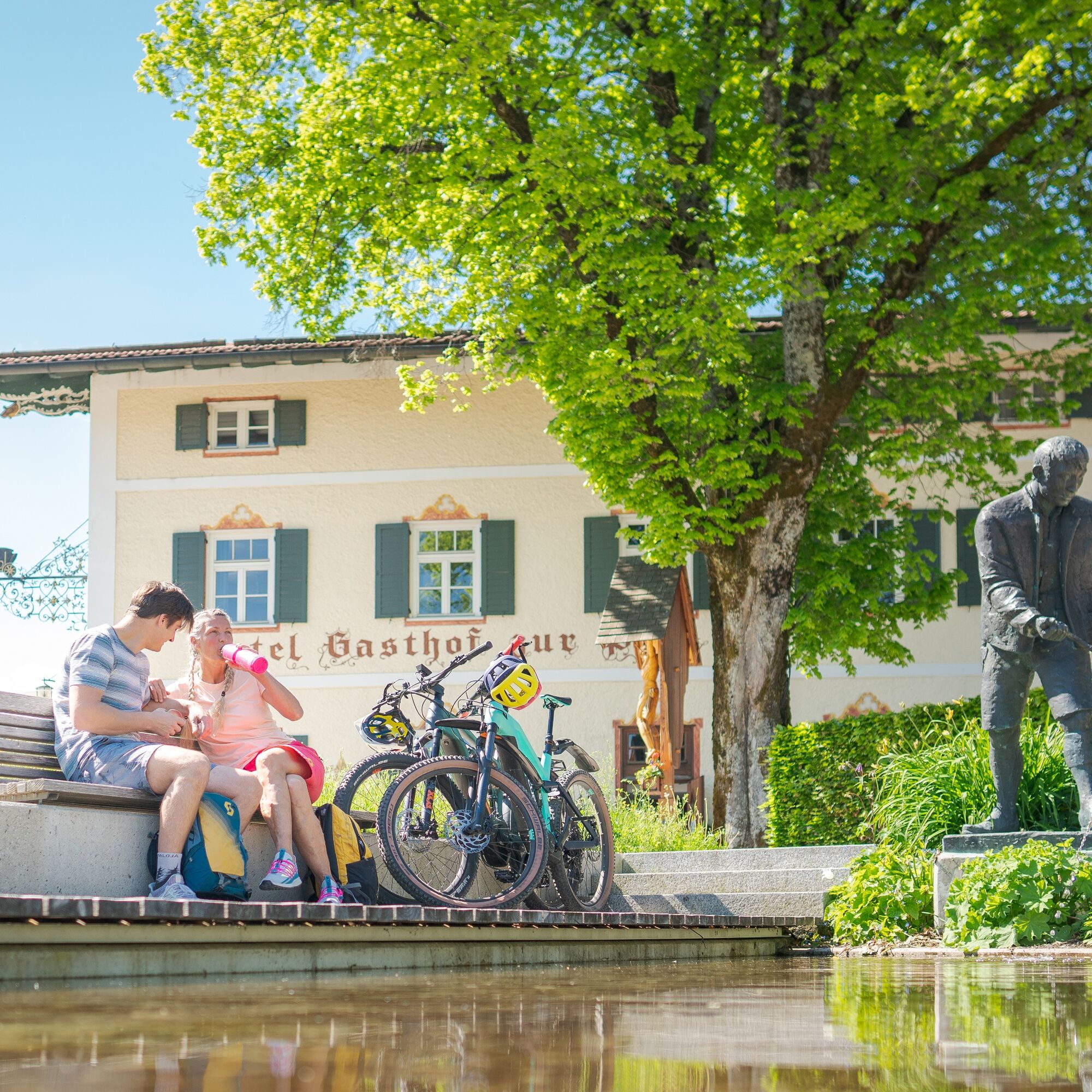
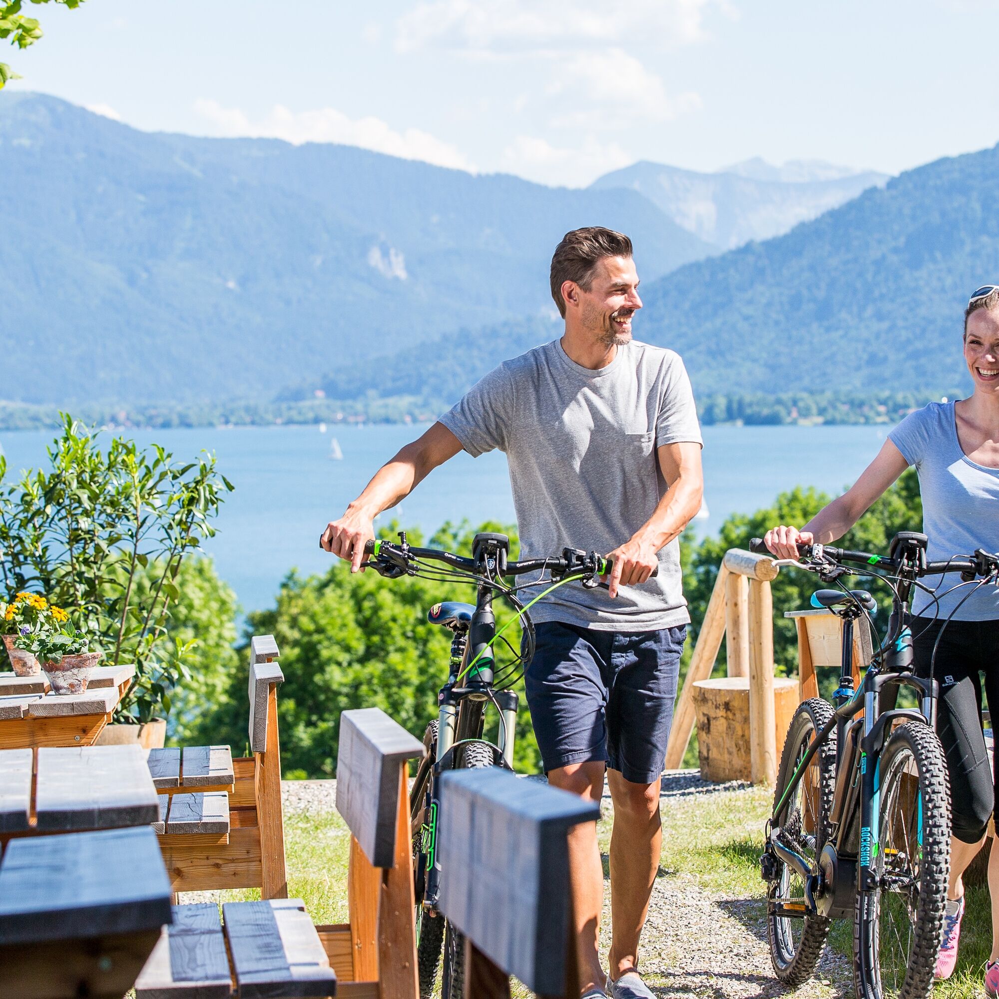
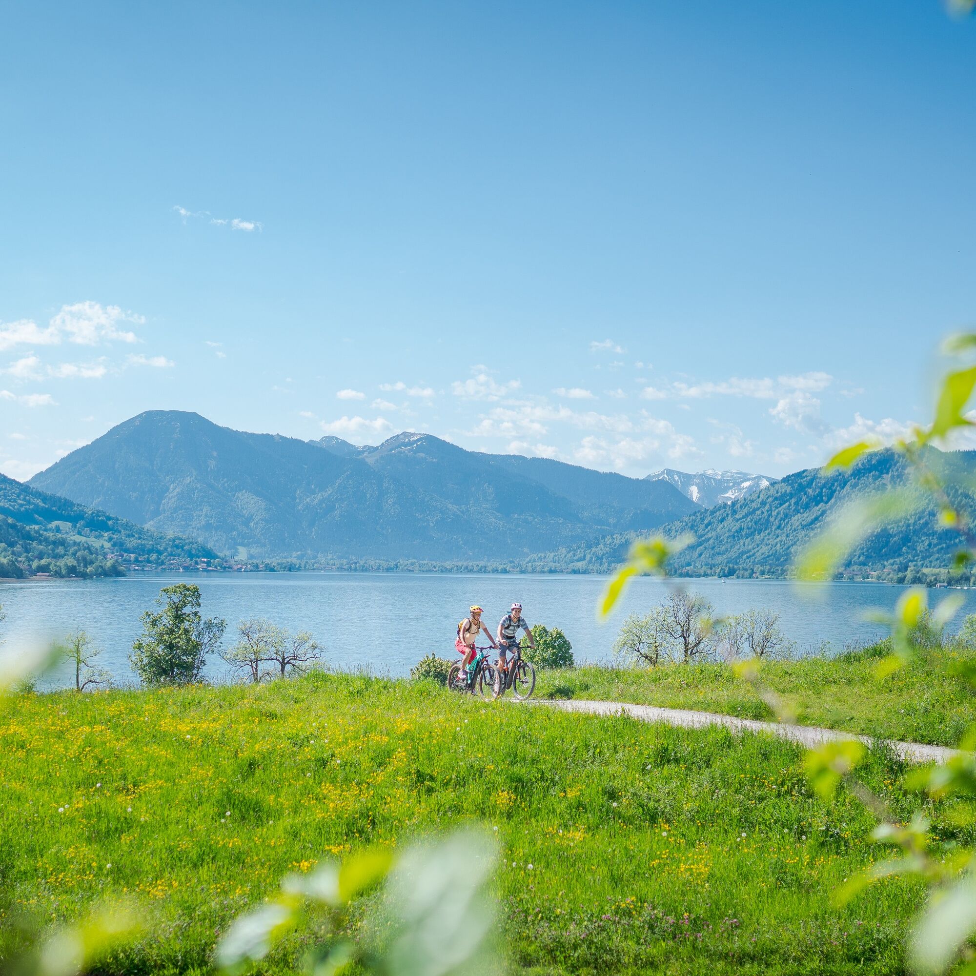
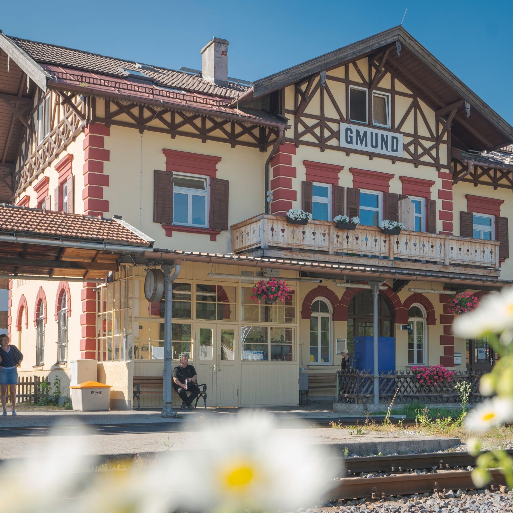
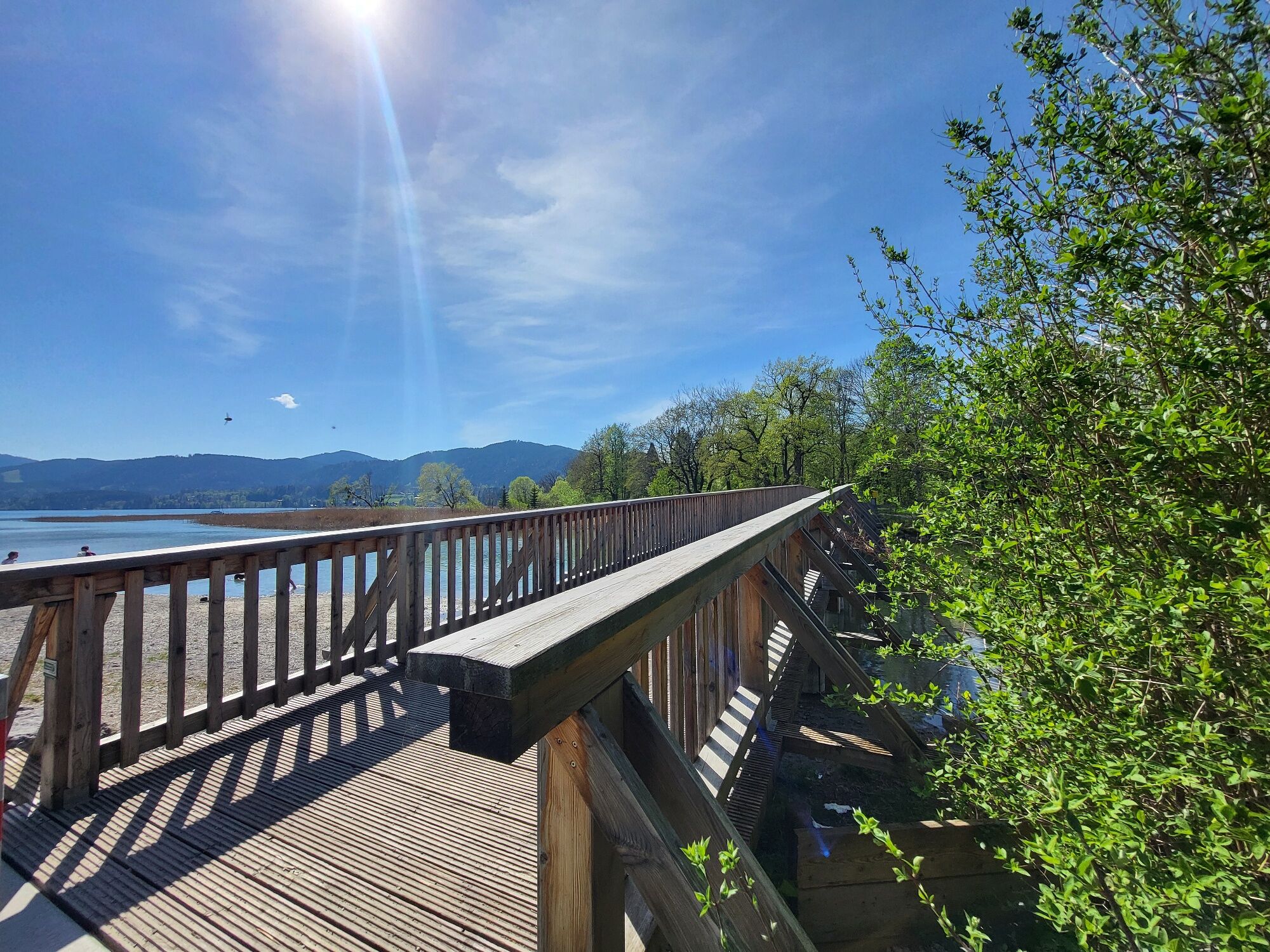
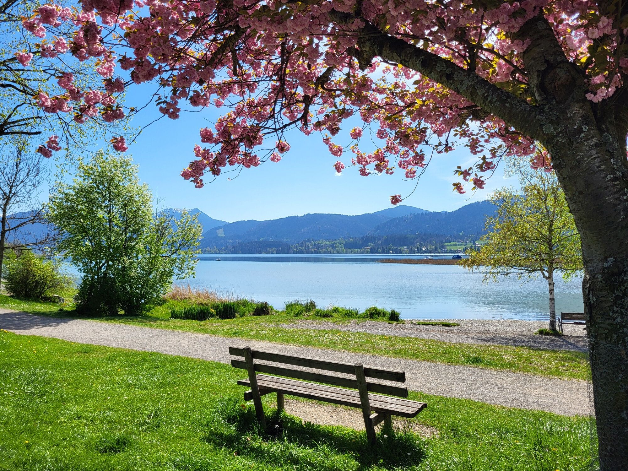
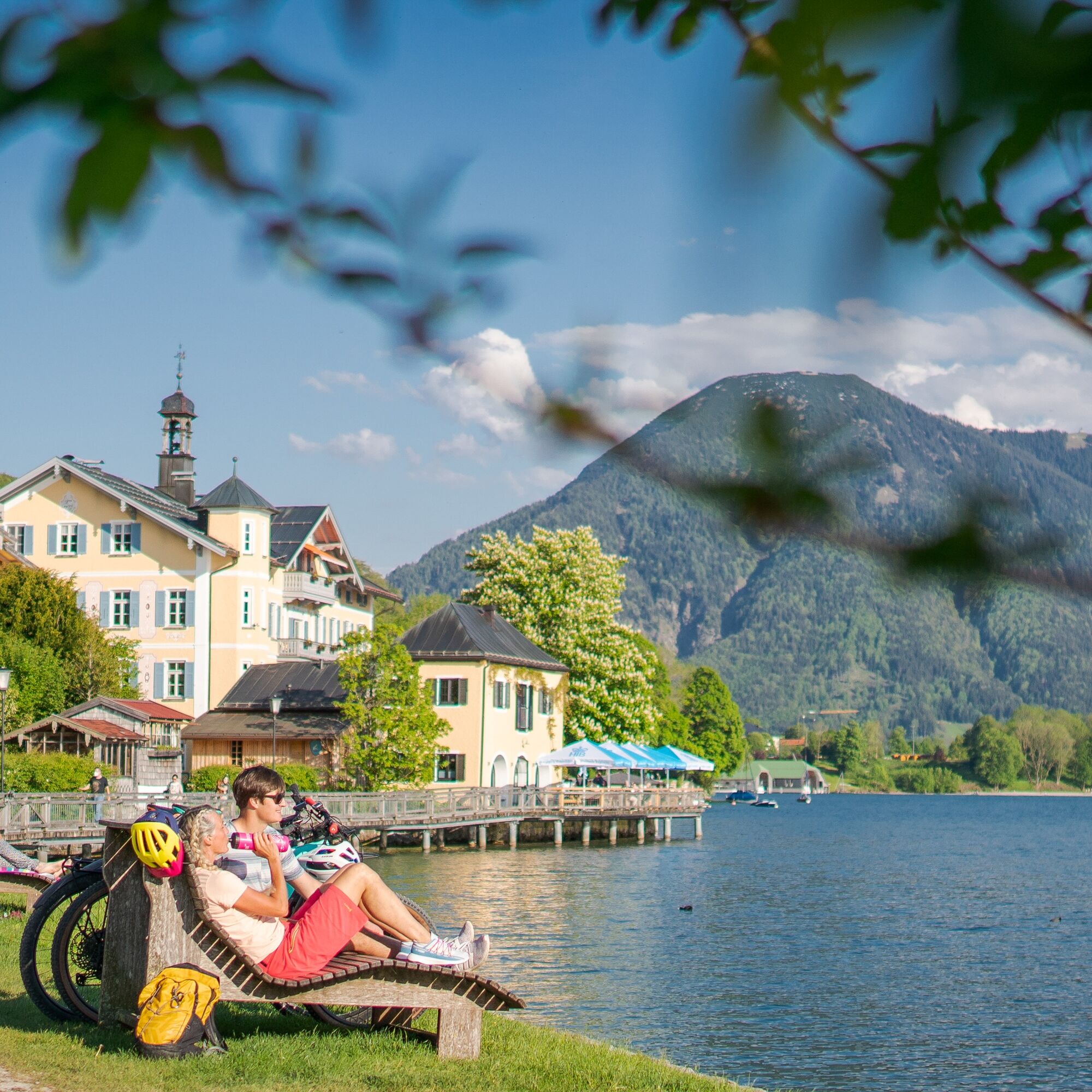

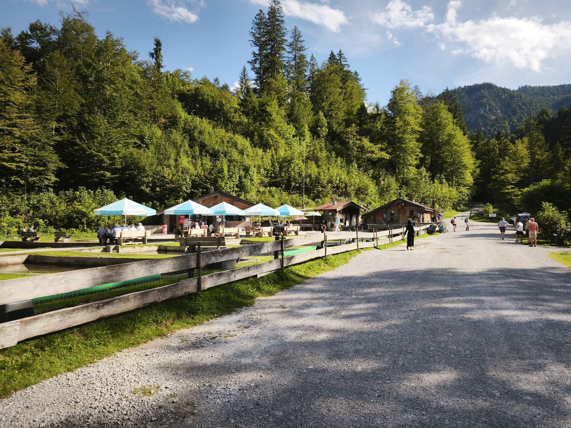
The start is at the House of Guests in Tegernsee. Passing the Herzoglichen Bräustüberl Tegernsee, follow the signposted lake circuit route to Rottach-Egern, passing the Seeforum upstream along the left side of the Rottach river for about 1 km until the right turn to Tuftenmühlstraße. After crossing Valepperstraße, turn left into Wolfsgrubstraße. Follow the MTB signage (No. 30) to Café Gäuwagerl, then turn left into Sonnenmoosstraße, continue over Glaslstraße, left into Karl-Theodor-Straße, and further along Kapellenweg. At the next junction turn left towards Weißachau-Straße, go under the bridge towards Kreuth. Along the Weißach through the heath over lush meadows and forests to Weißachalm and onwards to Kreuth. At Gasthof Batznhäusl, before the bridge, turn left towards the mini-golf course (MTB signage No. 31). On the forest road for about 2 km towards Schwaigeralm, then right to the bridge. Cross the street leading to Wildbad Kreuth, continue west past the Herzogliche Fischzucht Kreuth towards Klamm. There, cross the federal road and take the ascent to Schwarzentenn Alm. Continue north and after a short descent, veer half-right over Luckenkopfalm (MTB No. 37) past Bauer in der Au towards Bad Wiessee. A short stop at Bucherhang offers a unique view of the Tegernsee valley. In a rapid descent past the Bucher farmers, go over Ringbergstraße towards Bad Wiessee/Abwinkl. After a short pushing section from Sonnenfeldweg to the village square along the signposted lake circuit (MTB No. 32) heading north (Seestraße and Adrian-Stoop-Straße), passing Yachtclub Bad Wiessee over the Finnerbucht. Once again, cross the federal road up towards Tegernseer Golf Club, then turn right above the golf course to go through the district of Holz, with a view of Tegernsee, and past the Boarhof farm shop along the road eastwards to Gut Kaltenbrunn. Cross the road and along the lake circuit via Ludwig-Erhard-Platz to the Restaurant Seeglas at the beach in Gmund and then back to Tegernsee to the starting point.
We recommend using a bicycle helmet and a technically flawless bike. Please remember food, tools, mobile phone, spare clothes, and a first aid kit.
E-bikes can be rented and charged at many service stations in the Tegernsee Schliersee Alpine region.
You can find the addresses of rental and charging stations at https://www.tegernsee.com/serviceangebote
All information without guarantee. Entering and riding on the described routes is at your own risk; please also consider short-term path closures.
Besides nature, always show consideration for your fellow human beings. For example, mutual respect between mountain bikers and hikers is essential to avoid unnecessary accidents and to make a wonderful nature experience possible for everyone.
A8 to Holzkirchen exit, via B318 to Tegernsee
Arrival by Bavarian Regiobahn (BRB) is possible up to Gmund or Tegernsee train station.
Here you can find the current timetable information.
Bike transport in the BRB is allowed; please note the following instructions.
Central parking Tegernsee (paid)
2

Kamery internetowe z trasy
-
Wallbergbahn
-
Ödberg Talstation
-
Kreuth
-
Suttenabfahrt
-
Tegernsee
-
Hirschberglifte
-
Wallberg - Wallbergkircherl
-
Tegernseer Hütte
-
Rottach - Egern / Cafe Angermaier
-
Sonnenbichl Bergstation
-
Kreuth
-
Tegernsee West
-
Ödberg Bergstation
-
Ödberg Lift - Kinderland
-
Ödberg Sommerrodelbahn
-
Ödberg Campingplatz
-
Yacht-Club Bad-Wiessee e.V.

Popularne wycieczki w okolicy
-
4,8
Königsalm
średniWędrówka 10,0 km -
4,7
Alpbach valley and Neureuth
średniWędrówka 12,9 km -
4,6
Summit route to the Wallberg
średniWędrówka 12,2 km -
4,6
Roß- and Buchstein, Tegernsee Hut
ciężkiWędrówka 14,4 km -
4,8
Leonhardstein
średniWędrówka 8,17 km -
4,3
Tegernsee Höhenweg - North
światłoWędrówka 12,3 km -
4,3
Achenkirch - Zöhreralm - Adlerhorst - Achenkirch
światłoWędrówka 7,70 km -
4,8
Lengrieser Hütte
średniWędrówka 10,6 km -
4,7
Brauneck zum Latschenkopf Rundweg
średniWędrówka 6,30 km -
4,7
Hirschberg
średniWycieczki górskie 12 km
Wędrówki i tropienie


Nie przegap ofert i inspiracji na następne wakacje
Twój adres e-mail została dodana do listy mailingowej.





