Nawigacja
Pobierz tę trasę na swój telefon komórkowy
Mapa
By bike into Eglofstal

średni
Jazda na rowerze
49,80 km
Zeskanuj kod QR i rozpocznij nawigację w aplikacji bergfex.
QR Code
Wędrówki i tropienie

By bike into Eglofstal
Odległość
49,8 km
Czas trwania
03:20 h
Ascent
495 hm
Poziom morza
591 - 861 m
Ścieżka do pobrania
Mapa
By bike into Eglofstal
średni
Jazda na rowerze
49,80 km

Through the village towards Genhofen. There first follow the signs of the Lake Constance-Königssee cycle path, which runs in the opposite direction from Lindau to Oberstaufen. Via Ranzenried to Stiefenhofen,...

Opis

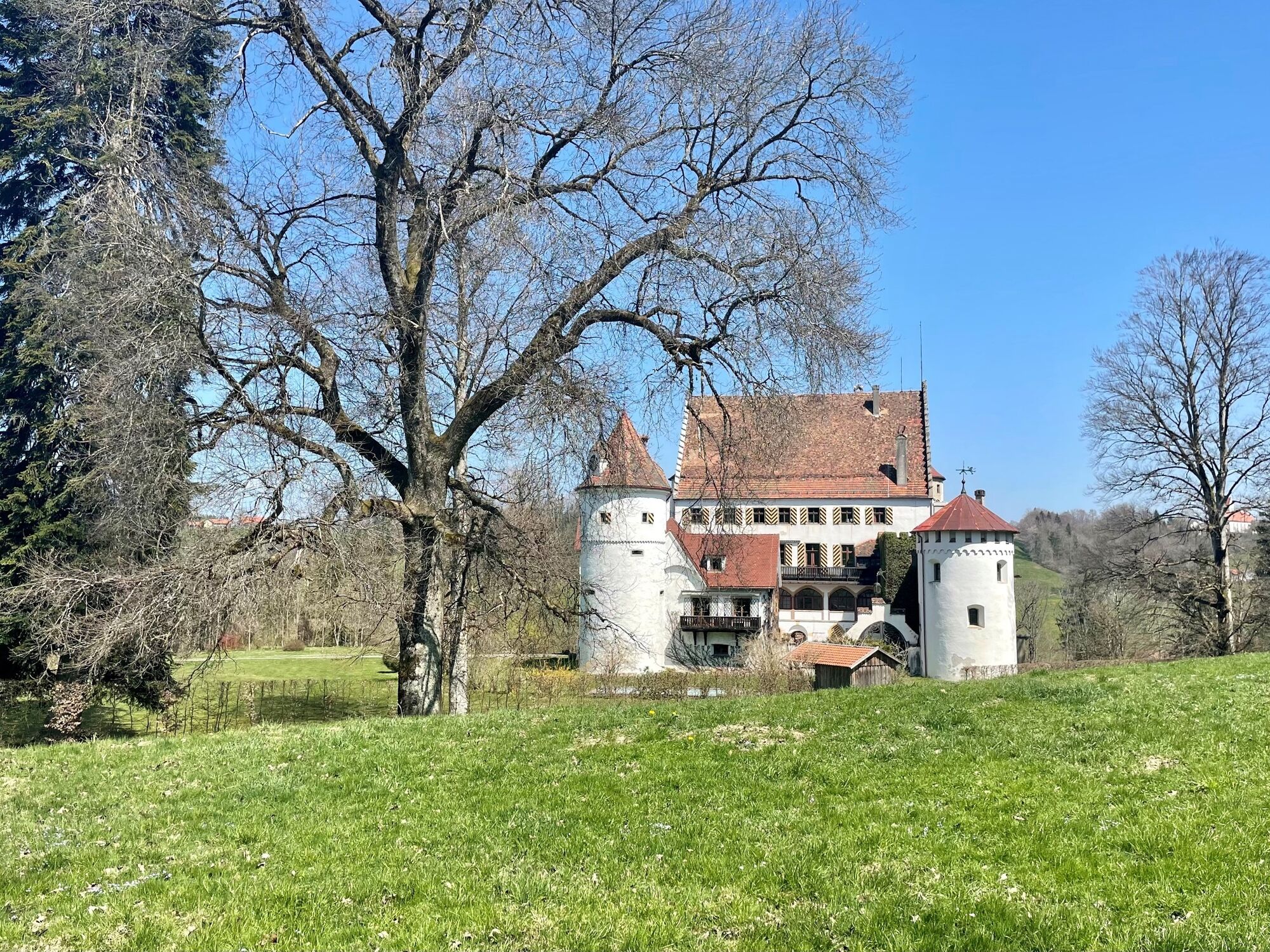
Through the village towards Genhofen. There first follow the signs of the Lake Constance-Königssee cycle path, which runs in the opposite direction from Lindau to Oberstaufen. Via Ranzenried to Stiefenhofen, Rutzhofen, Heimhofen, Schönau and Röthenbach. Then continue over Ober- and Unterschmitten to Malleichen (stop with beer garden) and into Eglofstal. At the picturesque Syrgenstein castle, an ascent requires use of our e-bike motor, then follows a scenically beautiful section over Edelitz and Lengatz. Depending on the season, there are blooming fruit trees, grazing livestock, or yellow sunflower fields and on the horizon the Nagelfluh chain. We leave the Bo-Kö cycle path and reach Heimenkirch via Mapprechts. Along the cycle path via Riedhirsch to Oberhäuser, there on the road to Ellhofen. At the edge of the village either half left to the Tobelrandweg and via a meadow path to Nagelshub or on the cycle path to Simmerberg. Left via Burkatshofen to the last ascent, the Hahnschenkel. Halfway up left via Isenbretshofen to Stiefenhofen and with a nice view over Ranzenried and Genhofen back to the station.

Trasa
St. Peter und Paul
(791 m)
Miejsce kultu
0,3 km
Lautenberg
(822 m)
Rozliczenie
6,2 km
Zwirkenberg
(626 m)
Wioska
16,1 km
Hl. Familie
(691 m)
Miejsce kultu
28,0 km
Pfarrkirche St. Peter und Paul
(735 m)
Miejsce kultu
36,1 km
Fiedhofskapelle
(770 m)
Miejsce kultu
38,5 km
St. Peter und Paul
(791 m)
Miejsce kultu
49,3 km
Trasa
Mapa
By bike into Eglofstal
średni
Jazda na rowerze
49,80 km
Sankt Martin
(791 m)
Miejsce kultu
0,0 km
St. Peter und Paul
(791 m)
Miejsce kultu
0,3 km
Oberstaufen
(791 m)
Wioska
0,5 km
Sinswang
(807 m)
Rozliczenie
2,1 km
Genhofen
(806 m)
Wioska
3,6 km
Ranzenried
(812 m)
Rozliczenie
4,6 km
Stiefenhofen
(799 m)
Wioska
5,9 km
Rössle
(802 m)
Restauracja
6,0 km
St. Martin
(805 m)
Miejsce kultu
6,0 km
Lautenberg
(822 m)
Rozliczenie
6,2 km
Mittelhofen
(823 m)
Rozliczenie
7,0 km
Heimhofen
(759 m)
Wioska
9,0 km
Schönau
(701 m)
Wioska
10,3 km
Gasthaus Adler
(702 m)
Restauracja
10,5 km
Röthenbach
(663 m)
Wioska
11,8 km
Landgasthof Post
(659 m)
Restauracja
12,8 km
Oberschmitten
(632 m)
Rozliczenie
14,6 km
Unterschmitten
(629 m)
Rozliczenie
15,1 km
Zwirkenberg
(626 m)
Wioska
16,1 km
Altenburg
(649 m)
Rozliczenie
17,3 km
Badwirtschaft Malleichen
(614 m)
Restauracja
17,7 km
Malaichen
(611 m)
Rozliczenie
17,9 km
Abt. 12 Bu-Anger
(628 m)
Korytarz/teren
18,8 km
Eyb
(606 m)
Rozliczenie
20,0 km
Eglofs
(662 m)
Wioska
21,1 km
Talwirtschaft zum Bären
(599 m)
Restauracja
21,5 km
Eglofstal
(591 m)
Rozliczenie
21,7 km
Syrgenstein
(621 m)
Rozliczenie
22,5 km
Schlossbühel
(673 m)
Wzgórze
23,0 km
Marienandacht
(666 m)
Miejsce kultu
23,2 km
Edelitz
(655 m)
Rozliczenie
24,1 km
Lengatz
(657 m)
Wioska
24,9 km
Mapprechts
(657 m)
Rozliczenie
27,2 km
Oberhäuser
(688 m)
Rozliczenie
27,9 km
Hl. Familie
(691 m)
Miejsce kultu
28,0 km
Heimenkirch
(653 m)
Wioska
29,4 km
Vesper Tapasbar
(694 m)
Restauracja
30,6 km
Riedhirsch
(715 m)
Rozliczenie
31,1 km
Dreiheiligen
(708 m)
Rozliczenie
32,5 km
Röthenbach (Allgäu)
(706 m)
Stacja kolejowa
33,8 km
Oberhäuser
(706 m)
Wioska
33,8 km
Ellhofen
(734 m)
Wioska
36,0 km
Pfarrkirche St. Peter und Paul
(735 m)
Miejsce kultu
36,1 km
Adler
(751 m)
Restauracja
38,1 km
Brauerei Simmerberg
(750 m)
Restauracja
38,1 km
St. Joseph
(751 m)
Miejsce kultu
38,1 km
Simmerberg
(752 m)
Wioska
38,1 km
Krone
(755 m)
Restauracja
38,2 km
Fiedhofskapelle
(770 m)
Miejsce kultu
38,5 km
Oberleute
(790 m)
Wioska
38,8 km
Nagelshub
(789 m)
Rozliczenie
39,4 km
Burkatshofen
(787 m)
Wioska
40,6 km
Hopfen
(838 m)
Wioska
41,2 km
Isenbretshofen
(843 m)
Rozliczenie
41,8 km
Lautenberg
(822 m)
Rozliczenie
43,4 km
Stiefenhofen
(799 m)
Wioska
43,8 km
Ranzenried
(812 m)
Rozliczenie
45,0 km
Genhofen
(806 m)
Wioska
46,0 km
Sinswang
(807 m)
Rozliczenie
47,4 km
Oberstaufen
(791 m)
Wioska
49,0 km
St. Peter und Paul
(791 m)
Miejsce kultu
49,3 km
Sankt Martin
(791 m)
Miejsce kultu
49,8 km
Informacje o wycieczce

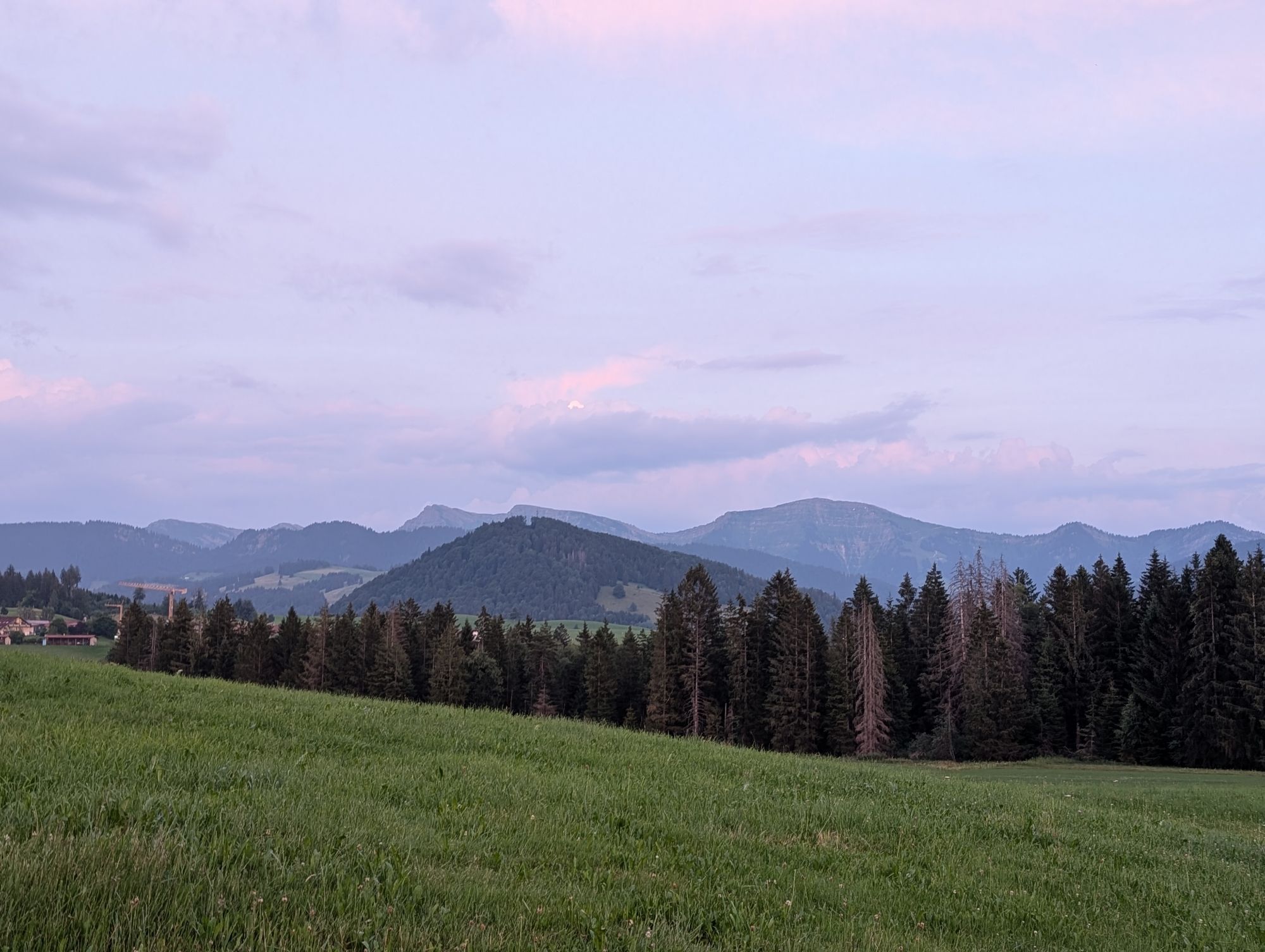
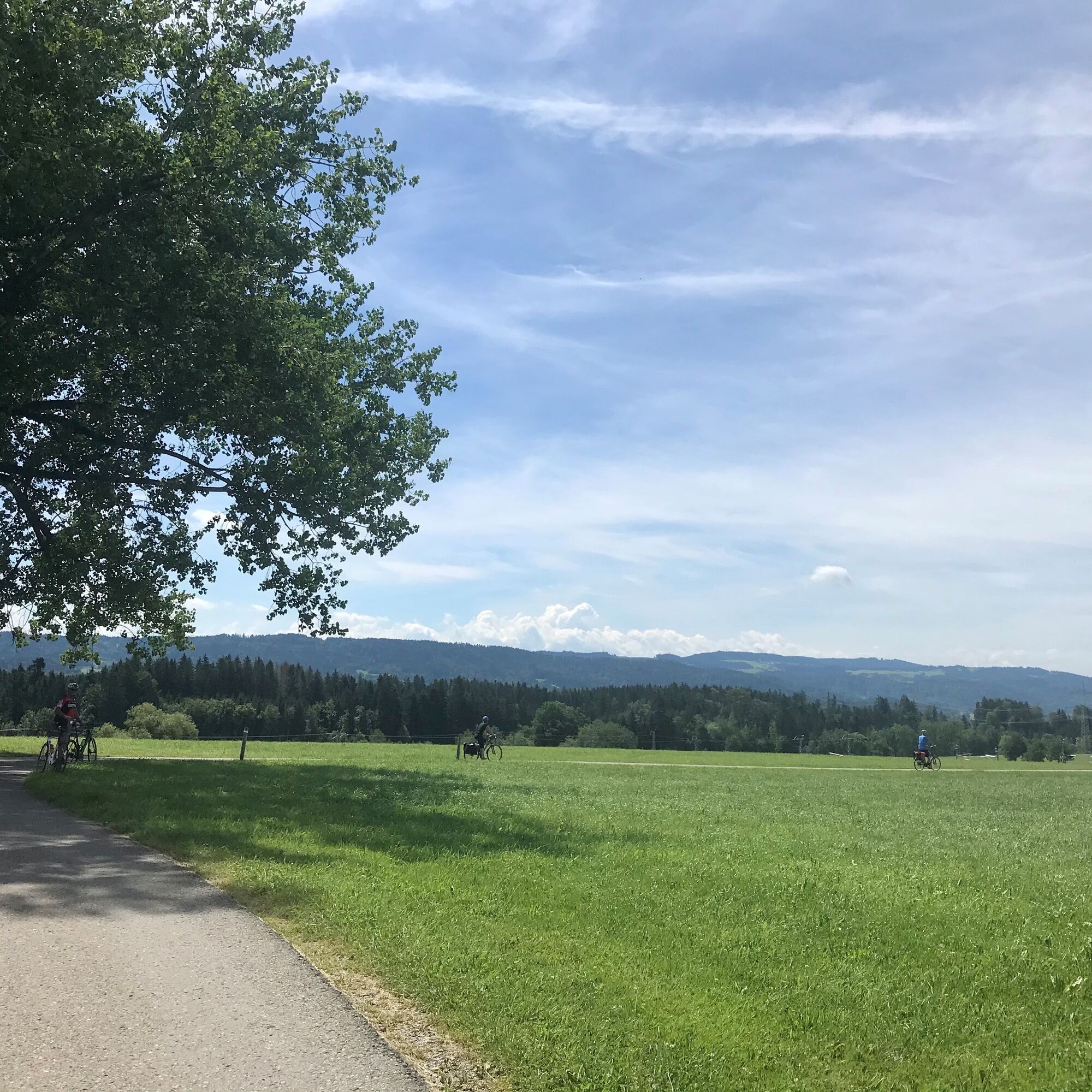
The first half of this route runs along the Lake Constance-Königssee cycle path up to just before Maria-Thann. Besides the low-traffic side roads and bike paths in Westallgäu, the hilly pre-Alpine landscape and the magnificent panoramic views of the Alpine ridge peaks are especially impressive.

Technologia
n.d.
Stan
4 / 6
Krajobraz
5 / 6
Doświadczenie
5 / 6
Najlepsza pora roku
Sty
Lut
Mar
Kwi
Maj
Cze
Lip
Sie
Wrz
Paź
Lis
Gru
Udostępnij trasę
Mapa
By bike into Eglofstal
średni
Jazda na rowerze
49,80 km
Błąd
Wystąpił błąd. Spróbuj ponownie.
Informacje o trasie
Trasa

Oberstaufen station - Genhofen - Stiefenhofen - Schönau - Röthenbach - Malleichen - Eglofstal - Heimenkirch - Ellhofen - Simmerberg - Burkatshofen - Isenbretshofen - Stiefenhofen - Genhofen - Oberstaufen

Dodatkowe informacje i wskazówki
Dodatkowe informacje

Syrgenstein Castle is the only preserved castle in the Lindau district.

Note: The route is not explicitly signposted; GPX data is available for navigation.

Wskazówki

Tip 1: Extend the route to the former imperial city of Wangen with a stop at the traditional Fidelisbäck inn.

Tip 2: Take the Kö-Bo cycle path to Lindau and return by train.

Wędrówki i tropienie

Wędrówki i tropienie

Wędrówki i tropienie
Ponad 550.000 propozycji wycieczek, szczegółowe mapy i intuicyjny planer tras sprawiają, że aplikacja jest niezbędna dla wszystkich entuzjastów przyrody.
bergfex