


Cycling route to Vorarlberg
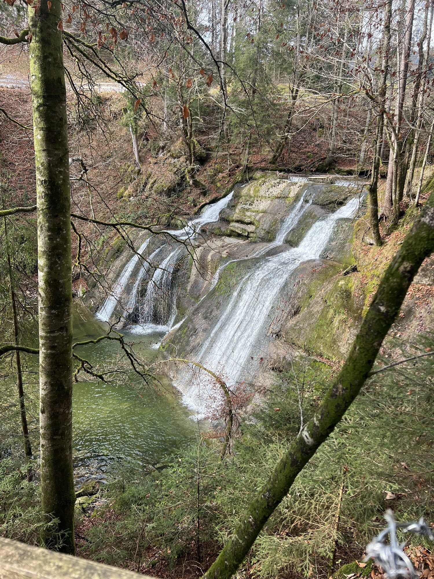
Over the Weißachstraße to Weißach. Slightly hilly to the right above the stream up to the Krebs dam. Pass through the district of Eibele and past the Eibele waterfalls, cross the wooden bridge to Vorarlberg....
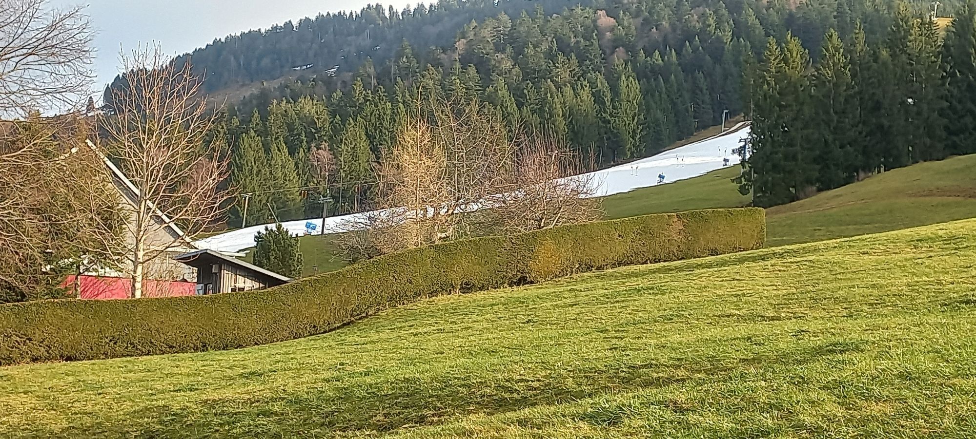
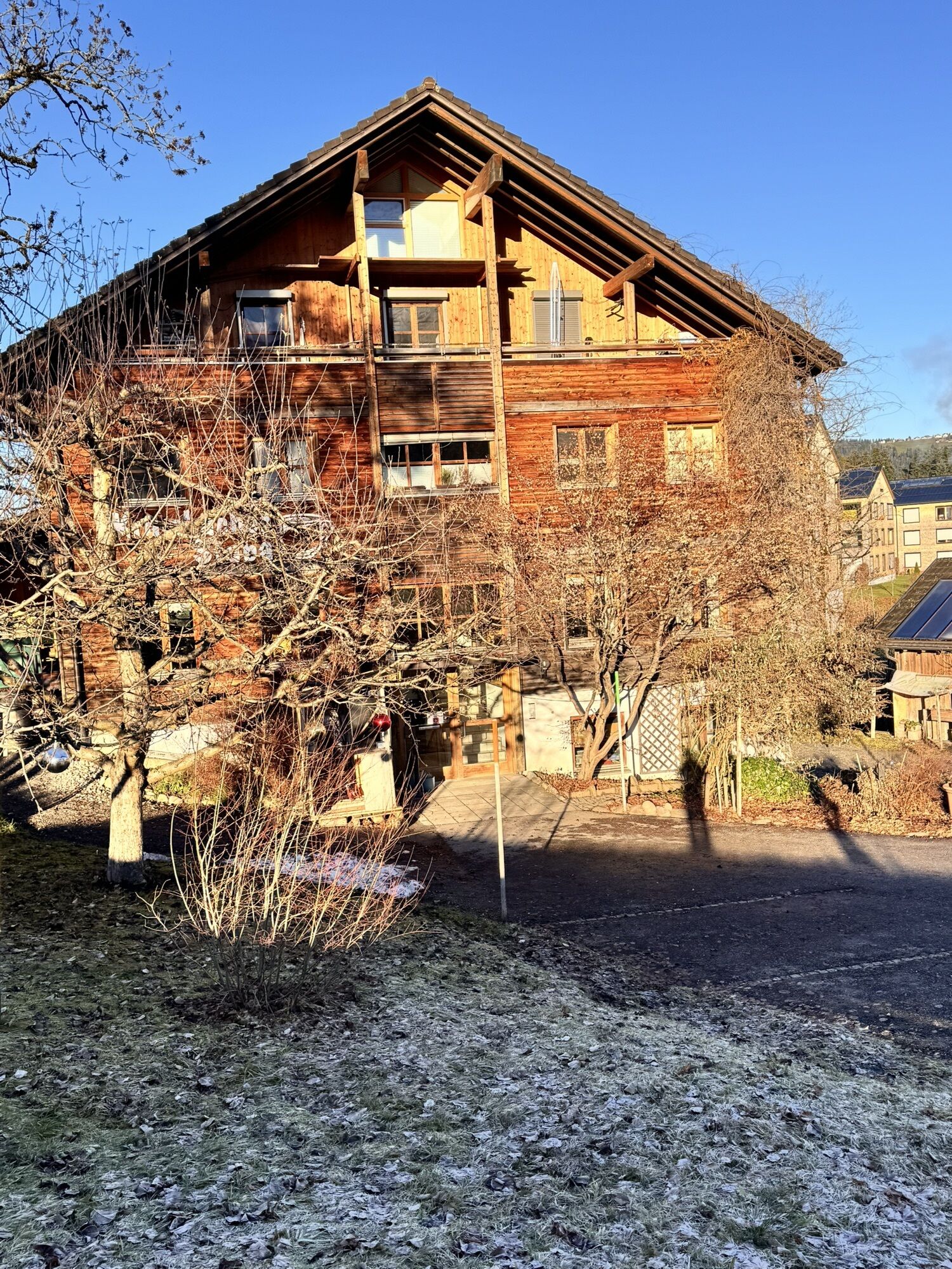
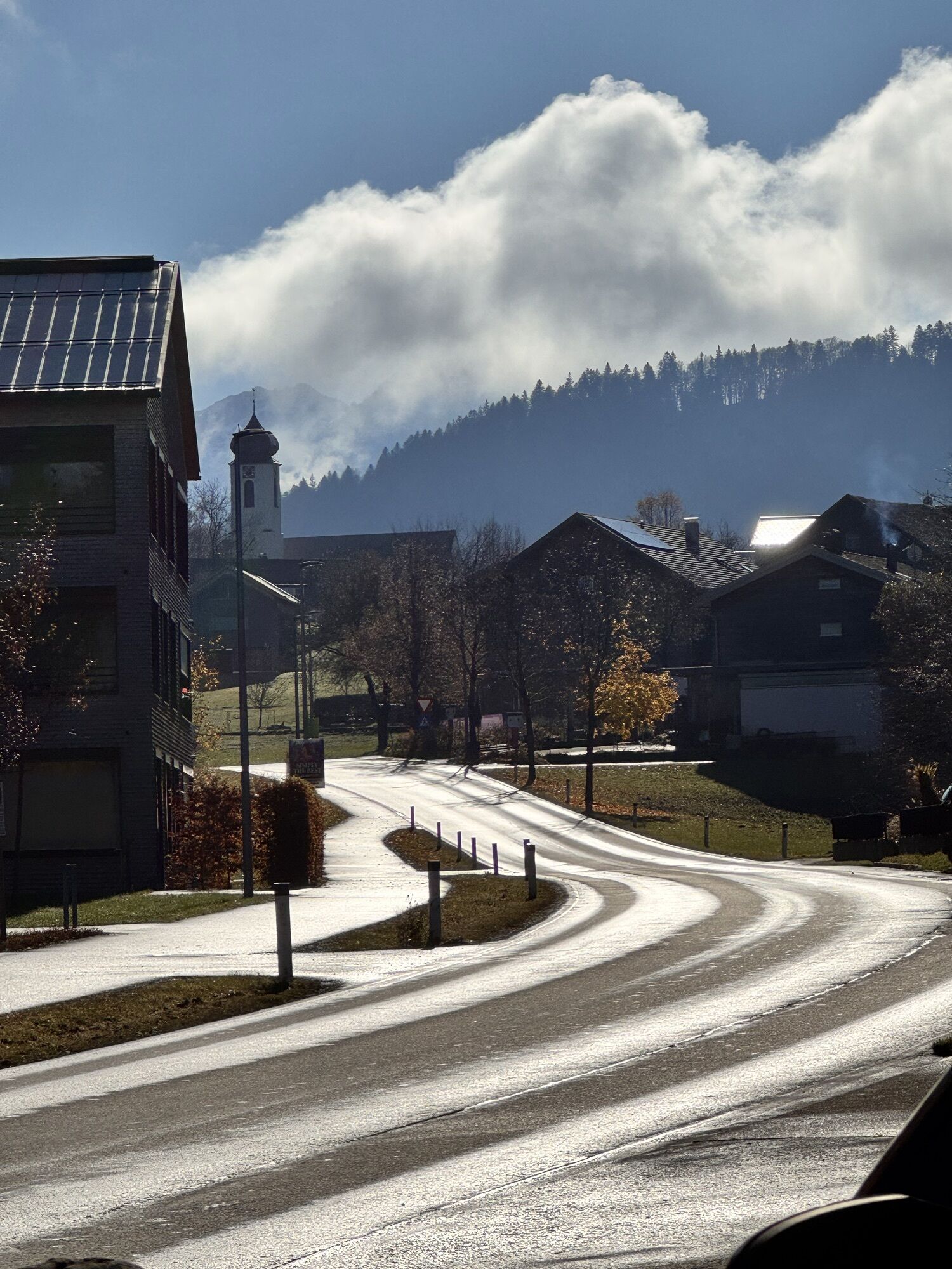
Over the Weißachstraße to Weißach. Slightly hilly to the right above the stream up to the Krebs dam. Pass through the district of Eibele and past the Eibele waterfalls, cross the wooden bridge to Vorarlberg. Follow the road signs uphill to Hermannsberg, shortly afterwards westwards over Simlisgschwend with fantastic views to Doren. Turn left down to Weißach and - attention! - after 300 m ascent at the bus stop turn right on the meadow path over Zwing and Au up to Krumbach. At the end of the village turn left onto the small road to the Bolgenacher dam. After the spectacular crossing, it goes over Eggling to Riefensberg. Shortly afterwards, a junction follows and the long ascent to Hochlitten (those who prefer it easier continue straight on to Aach and Krebs*). In Hochlitten, past the lifts on the border meadow path over to the native Hagspiel. One last ascent to the highest point at 1,042 m, then we roll down to Schindelberg. There either technically demanding on partly loose gravel via the Angersteg down to Höfen or easier follow the road via Steibis. At Weißach turn right and over Bad Rain back to the station.

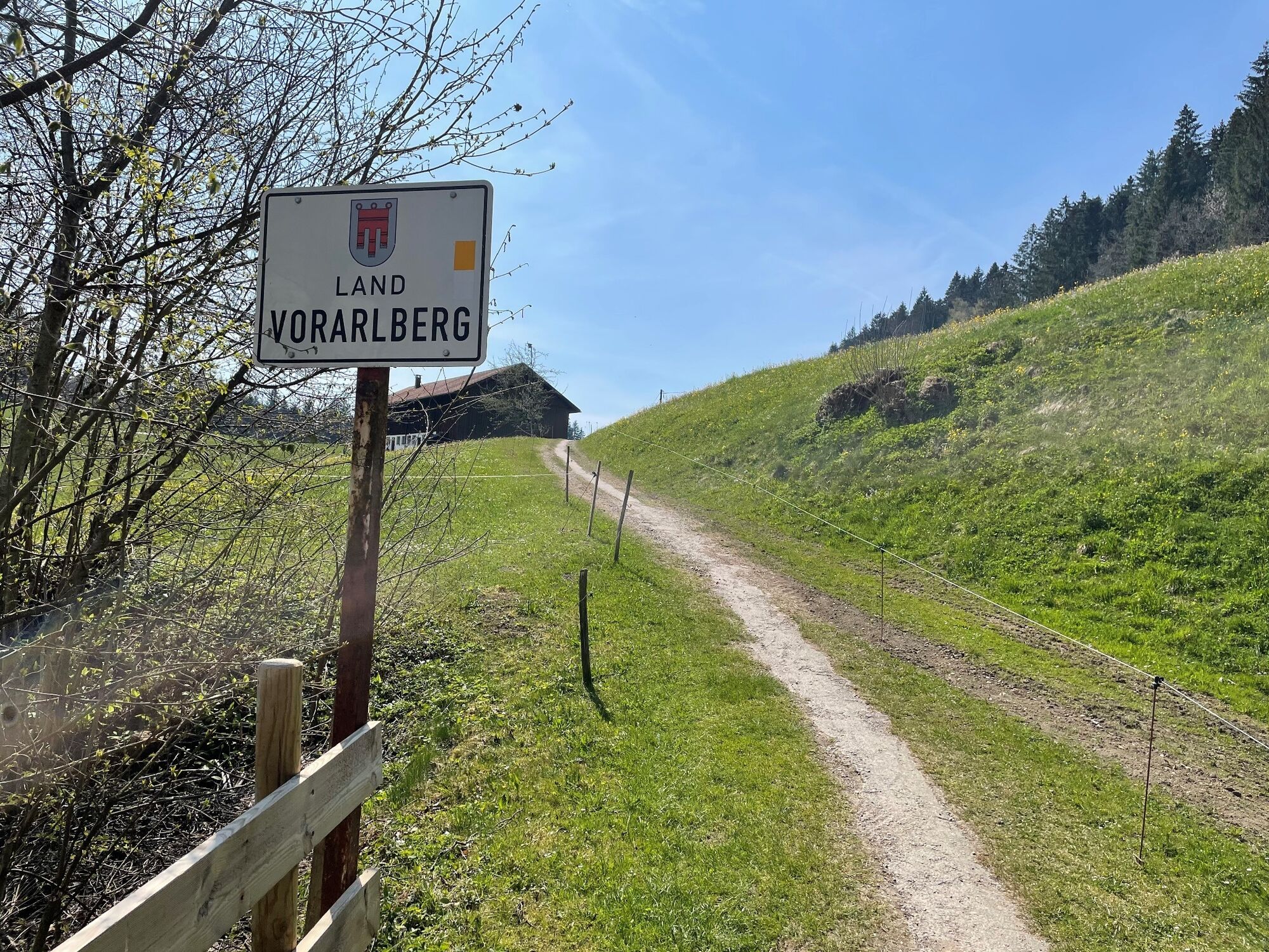

Oberstaufen station - Weißach - Eibele - Hermannsberg - Doren - Krumbach - Riefensberg - Hochlitten - Hagspiel - Schindelberg - Steibis - Weißach - Bad Rain - Oberstaufen
Note: The route is not explicitly signposted, GPX data is available for navigation.
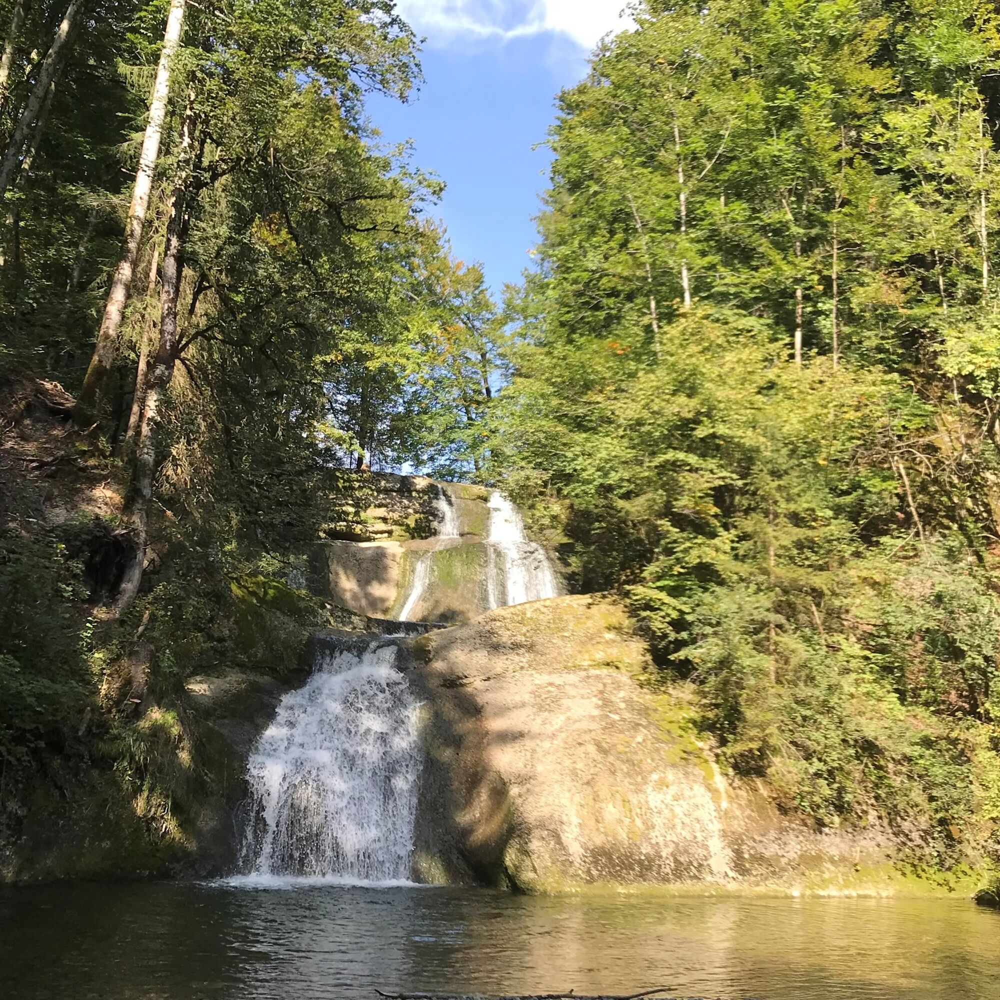
The Eibele waterfalls are always worth a stop.
On the shortened route from Riefensberg via Aach to Krebs and back on the way there, you save 220 meters of elevation gain. Also top: The cycling route to the Bregenzer Ach (see routes online).
Kamery internetowe z trasy
-
Alpenarena Hochhäderich
-
Hochlitten Riefensberg / Bregenzerwald
-
Oberstaufen
-
Skilifte Sinswang
-
Oberstaufen - Biohotel Schratt
-
Oberstaufen - Biohotel Schratt
-
Langenegg Kirchdorf
-
Hittisau
-
Oberstaufen
-
Sulzberg
-
Sulzberg
-
Fluhexpress Berg
-
Alpe Hohenschwand
-
Oberstaufen
-
Oberstaufen
-
Oberstaufen
-
Oberstaufen
-
Oberstaufen
-
Oberstaufen - Rosenalp
-
Fluhexpress Bergstation
-
Hündlebahn Bergstation
-
Imberghaus
-
Oberstaufen
-
Oberstaufen - Hörmoos
-
Alpenarena Hochhäderich
Popularne wycieczki w okolicy
-
4,7
Steibis - Buchenegger Waterfalls
średniWędrówka 6,47 km -
4,5
Hittisau | Wasserwanderweg
światłoTrasa tematyczna 7 km -
5,0
Winterstaude
średniWędrówka 9,30 km -
4,8
Panoramarundweg Baumgarten - Niedere
światłoWędrówka 3,76 km -
5,0
Nagelfluh ridge route Hochgrat - Mittag
ciężkiWędrówka 14,0 km -
4,7
Rindalphorn und Hochgrat
średniWędrówka 15,6 km -
4,4
Circular route Steibis to Dreiländerblick
średniWędrówka 7,95 km -
4,0
Nagelfluh-Überschreitung
ciężkiWędrówka 22,7 km -
5,0
Circular route Hochgrat - Falkenhütte
ciężkiWędrówka 14,2 km -
4,9
Egg | Falzalpenrundwanderung Schetteregg
światłoWędrówka 6,40 km
Wędrówki i tropienie


Nie przegap ofert i inspiracji na następne wakacje
Twój adres e-mail została dodana do listy mailingowej.