







Waterfall round (terrain cure route)
Poziom trudności: 5
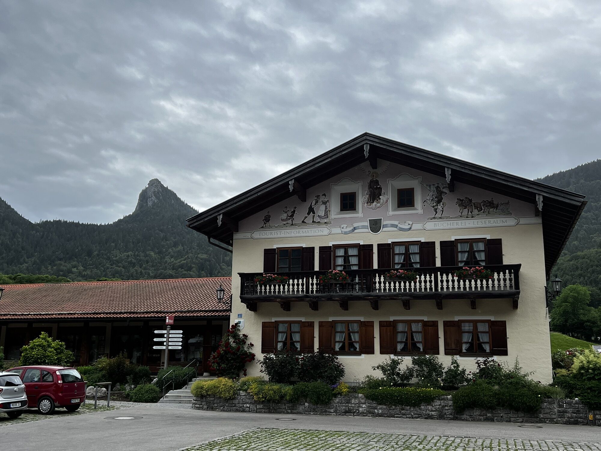
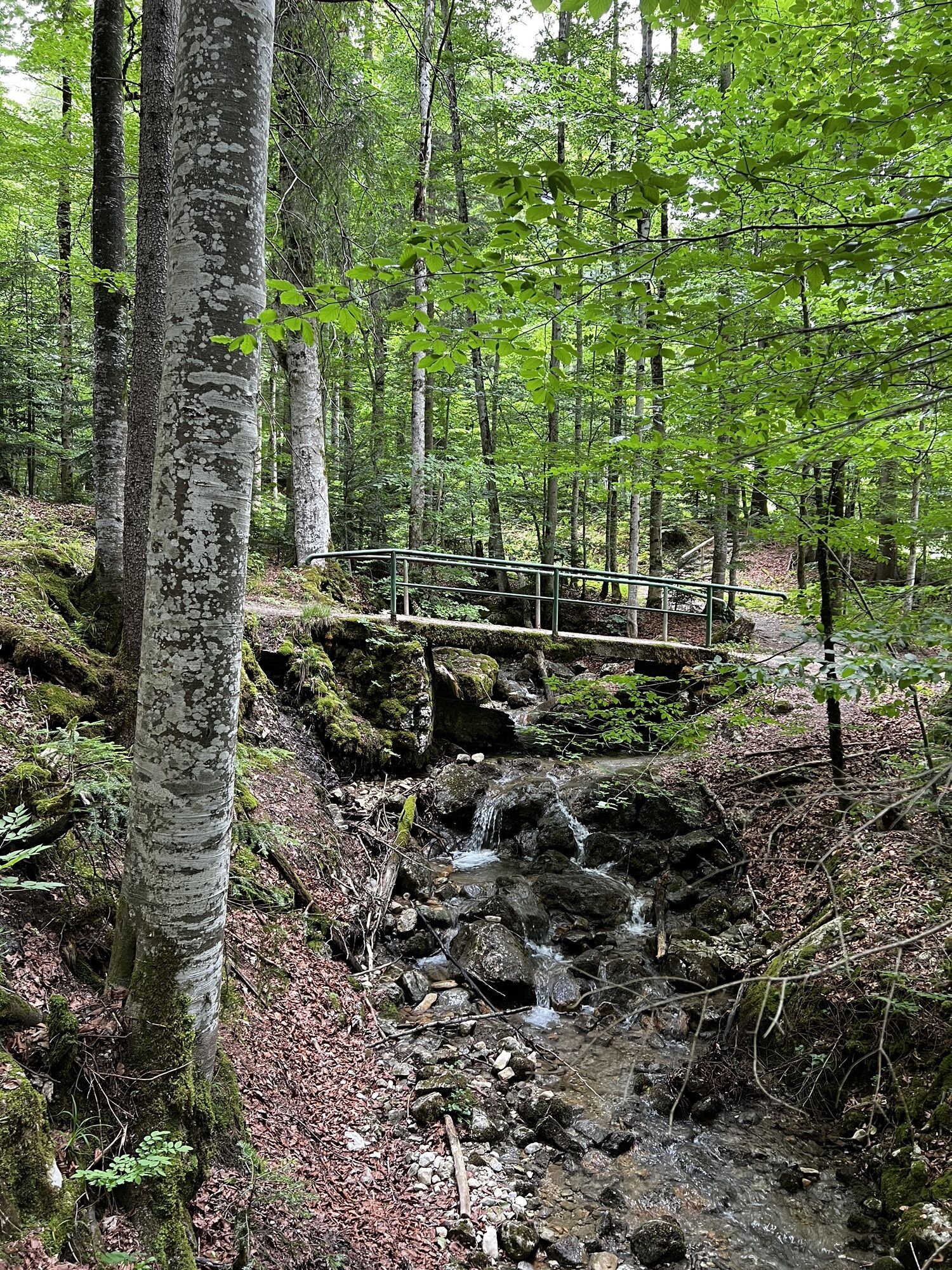
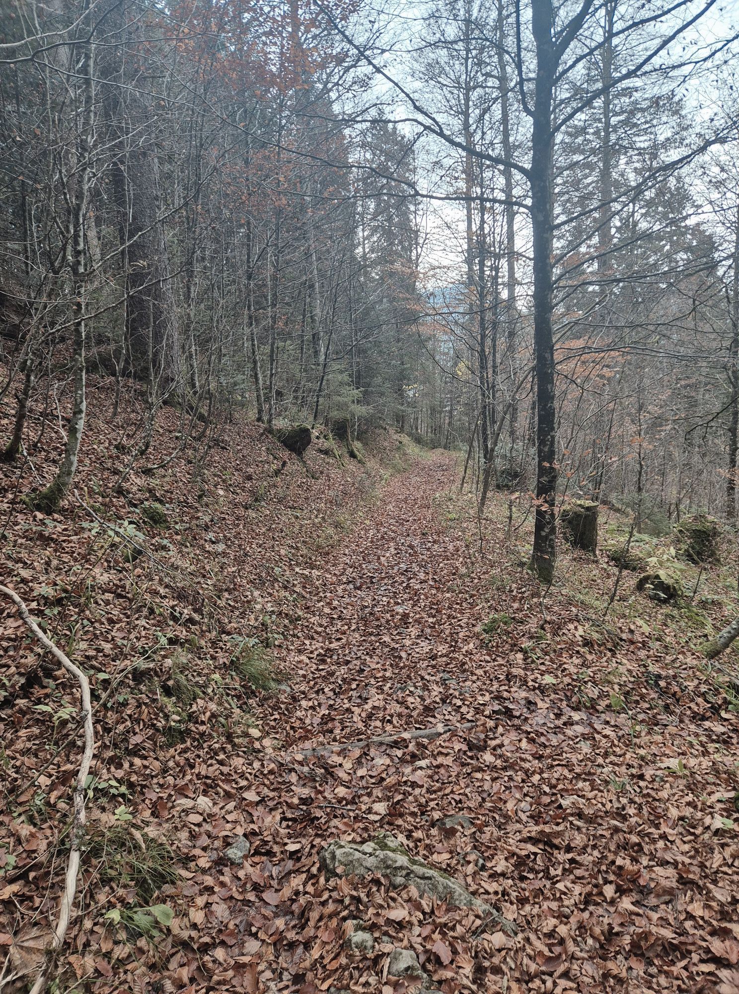
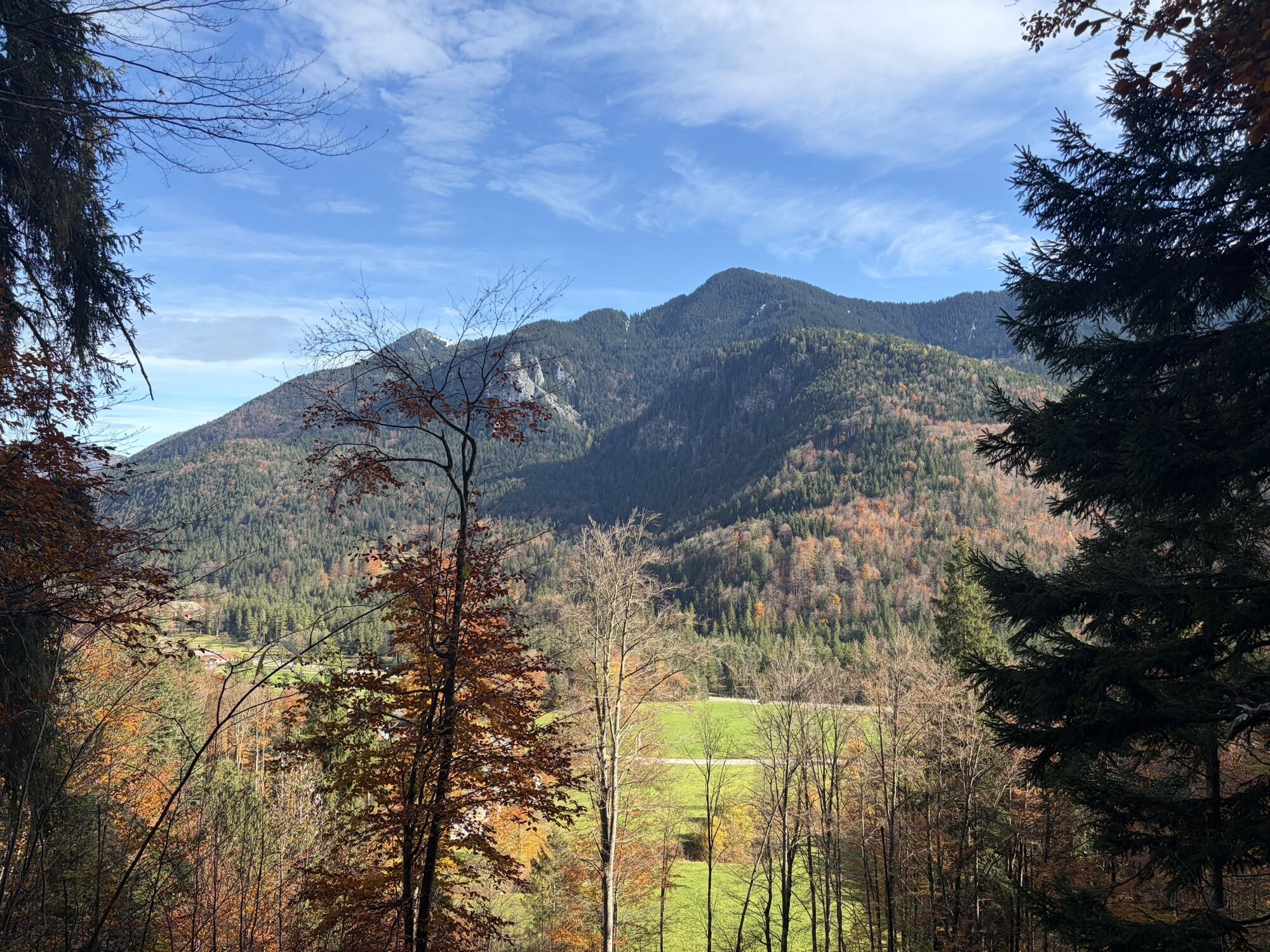
Long circular route with total ascents of 390 meters. Mostly moderate and steep inclines. Average energy consumption: approx. 560 kcal
Requirements due to the climate: medium
In the village area quite sunny...
Long circular route with total ascents of 390 meters. Mostly moderate and steep inclines. Average energy consumption: approx. 560 kcal
Requirements due to the climate: medium
In the village area quite sunny and partially exposed to the wind. Mostly, however, subdued climatic stimuli in the protection of the forest. Noticeable differences in perceived temperature between valley and mountain.
The terrain cure route has been physiologically and bioclimatically examined by the German Weather Service. On this medium to difficult route, the body is stimulated by increased sunlight, climate changes, and high energy demand. The terrain cure is a gentle form of movement therapy and part of climate therapy.


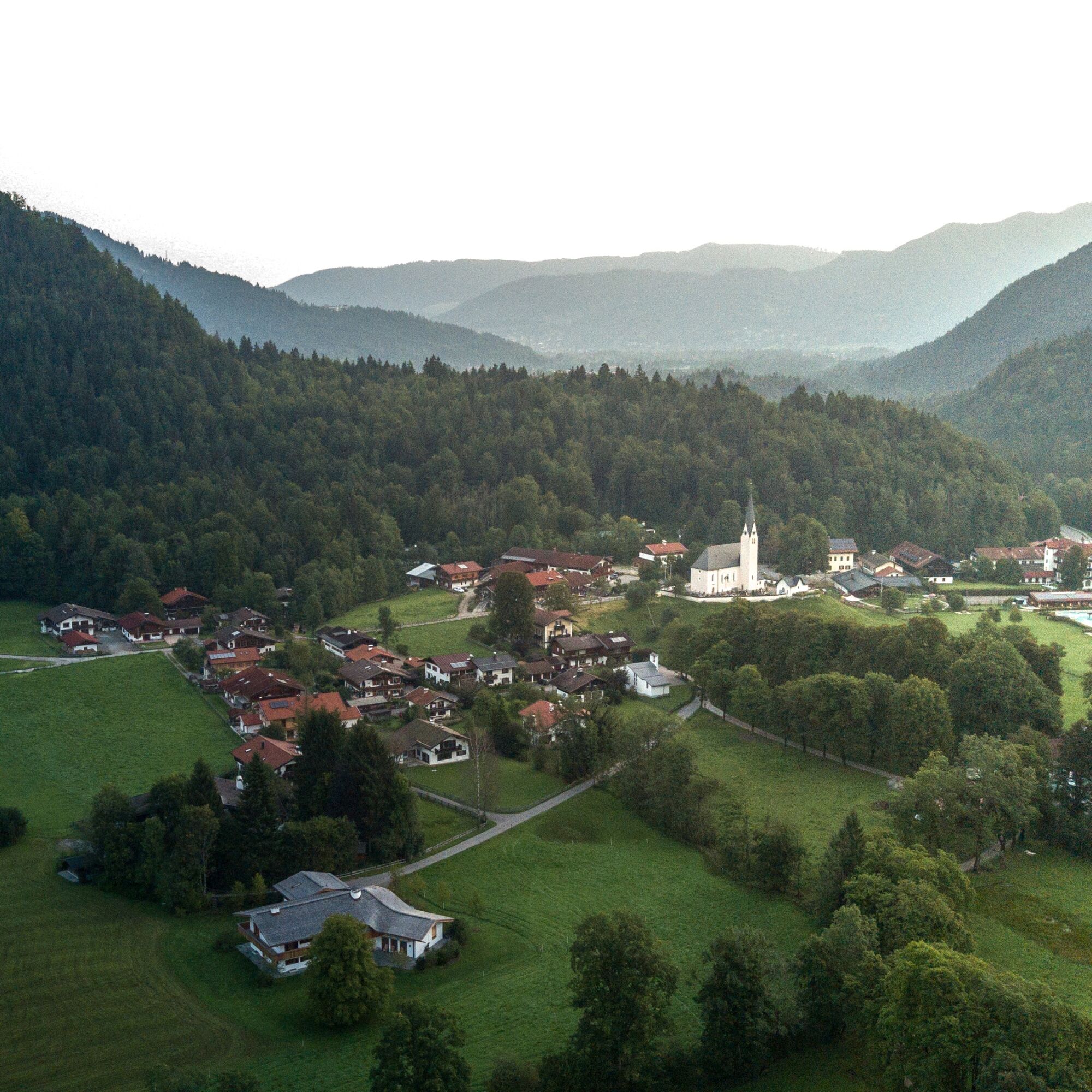
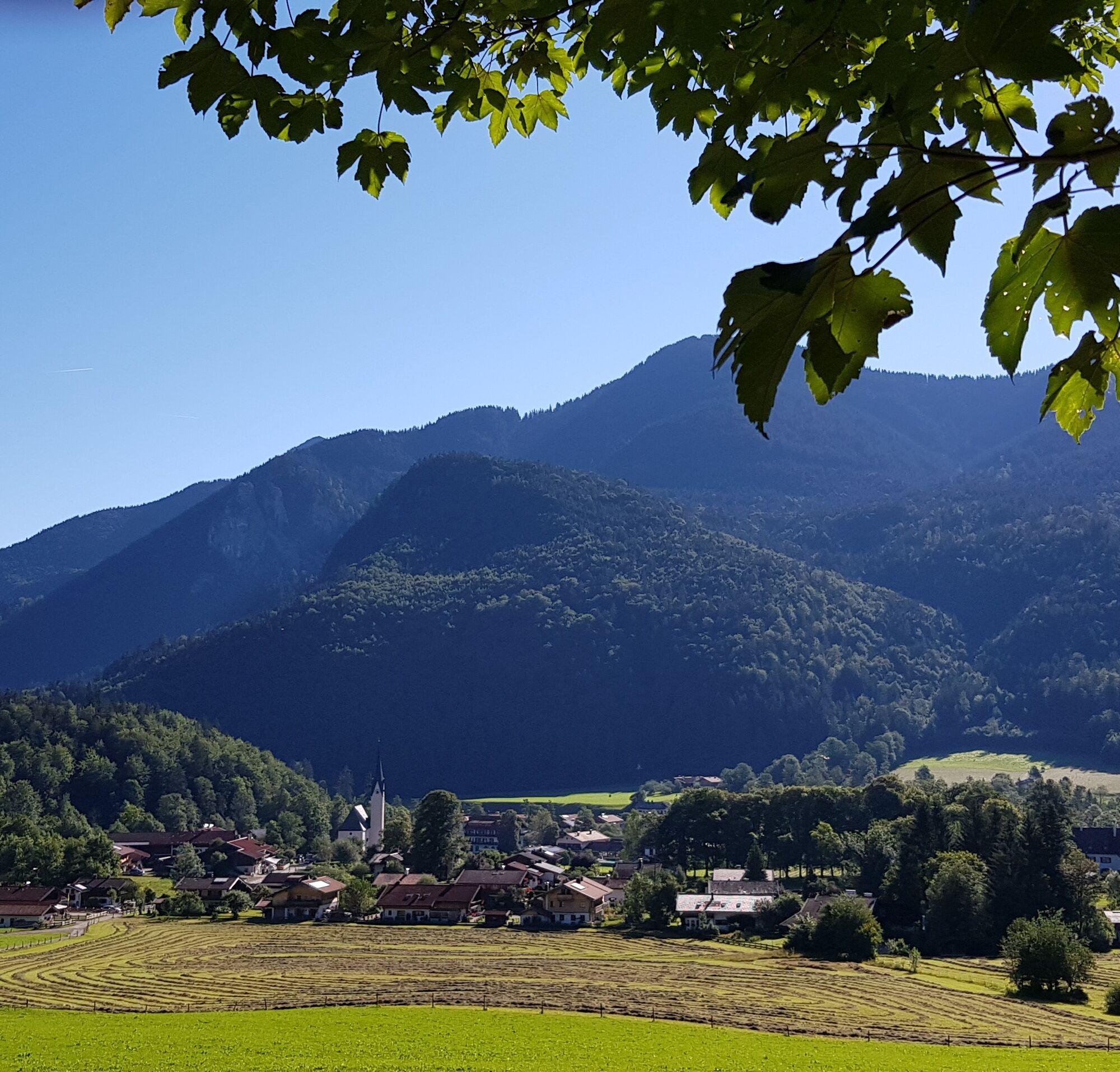
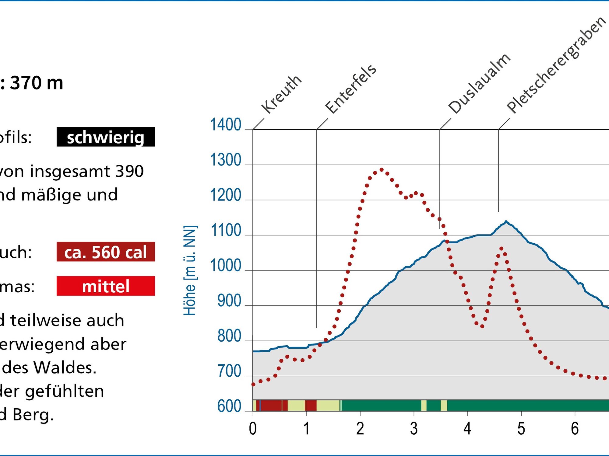

The route starts at the Kreuth spa facility parking lot. From there, it goes over the bridge to the other side of the Weißach and across the main road. Turning right, you finally turn left onto the street "Am Kirchberg." Then it goes down briefly to the left after the church to Enterfels. Keeping to the right, it heads towards the forest and again to the right towards Spitzergraben. The route turns right near the Duslaualm (without leading directly to the unmanaged alm). Following the path, you come to a junction again, where you once more go right down into the valley and left through a curve in the forest back to Kreuth. Along the main road, you return to the starting point of the route.
Sturdy footwear as well as weather-appropriate clothing, possibly a rain jacket, water bottle, poles, first aid kit.
All information without guarantee. Walking and driving on the described routes are at your own risk.
The route is not walkable in winter when the snow cover is continuous.
A8 to Holzkirchen exit, via B318 to Kreuth
By MVV to Kreuth (bus stop Riedlerbrücke).
Kreuth spa park parking lot (paid)
5
Kamery internetowe z trasy
Uzyskaj wgląd Zawsze na żywo z ponad 9 500 kamer internetowych. bergfex Jako użytkownik Pro, możesz teraz zobaczyć odpowiednie kamery internetowe dla wielu wycieczek w aplikacji wycieczki od. Pozwala to na bezpośredni podgląd aktualnych warunków. Popularne wycieczki w okolicy
- 4,7
Alpbach valley and Neureuth
średniWędrówka 12,9 km - 4,6
Summit route to the Wallberg
średniWędrówka 12,2 km - 4,7
Königsalm
średniWędrówka 10,0 km - 4,4
Achenkirch - Zöhreralm - Adlerhorst - Achenkirch
światłoWędrówka 7,70 km - 4,8
Lengrieser Hütte
średniWędrówka 10,6 km - 4,2
Tegernsee Höhenweg - North
światłoWędrówka 12,3 km - 4,6
Roß- and Buchstein, Tegernsee Hut
ciężkiWędrówka 14,4 km - 4,6
Brecherspitze
średniWycieczki górskie 14,5 km - 4,8
Leonhardstein
średniWędrówka 8,17 km - 4,5
Brecherspitz-Runde auf dem Normalweg Schliersee, Bayern
średniWędrówka 11,3 km
Wędrówki i tropienie


Nie przegap ofert i inspiracji na następne wakacje
Twój adres e-mail została dodana do listy mailingowej.





