






Panoramic route over the Salmaser Höhe to Großer Alpsee
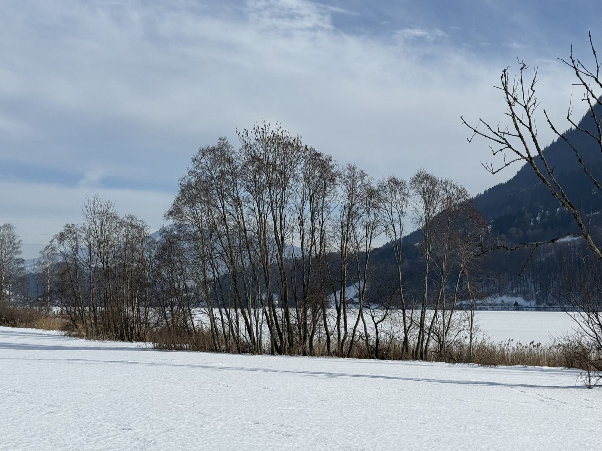
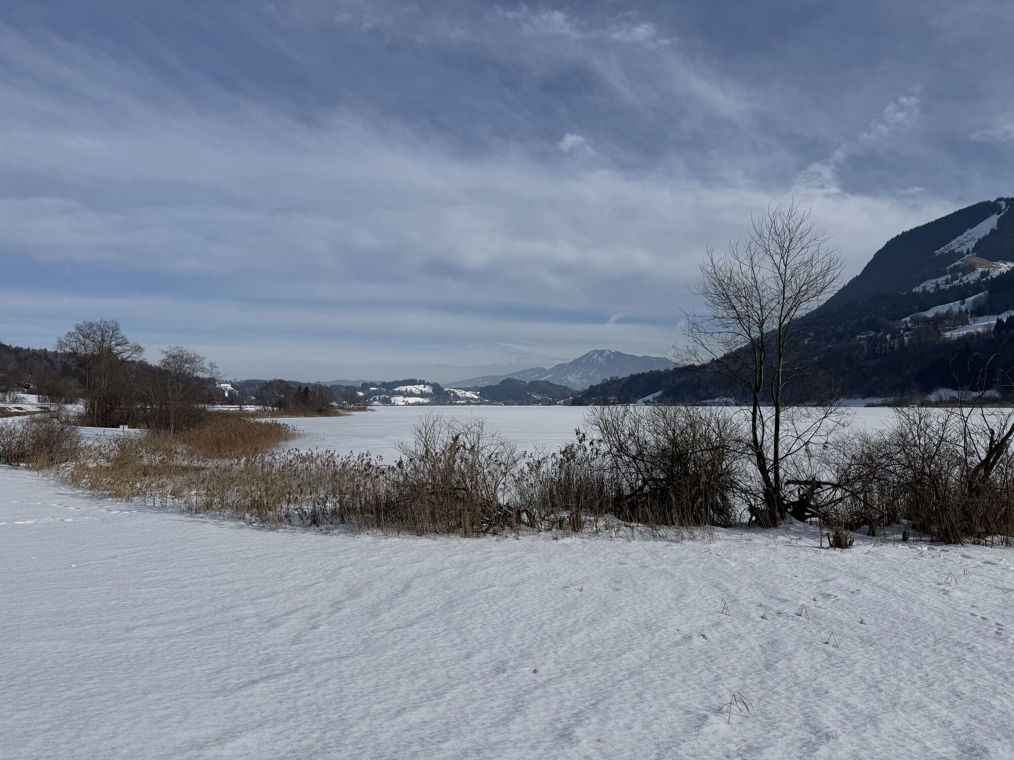
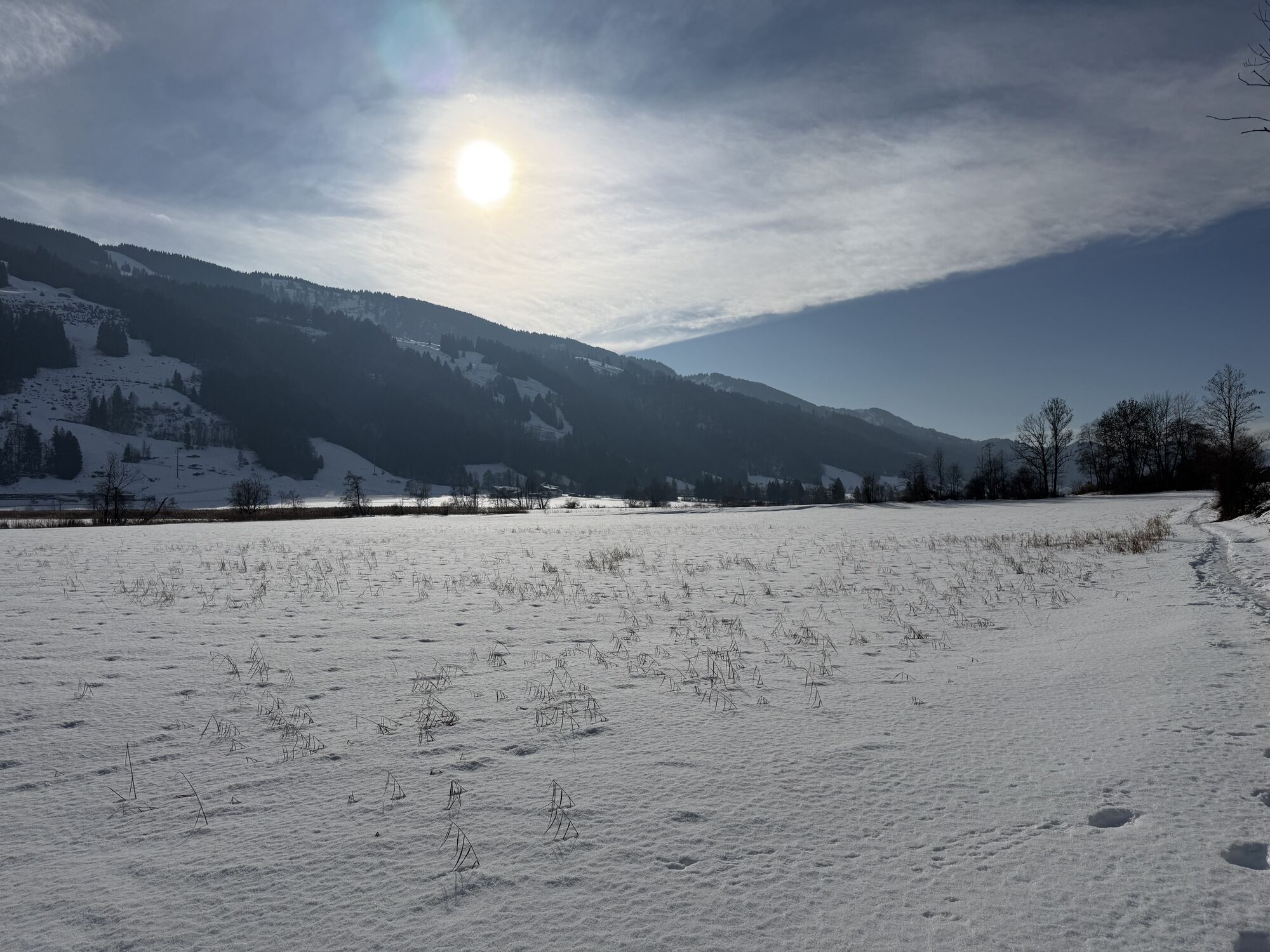
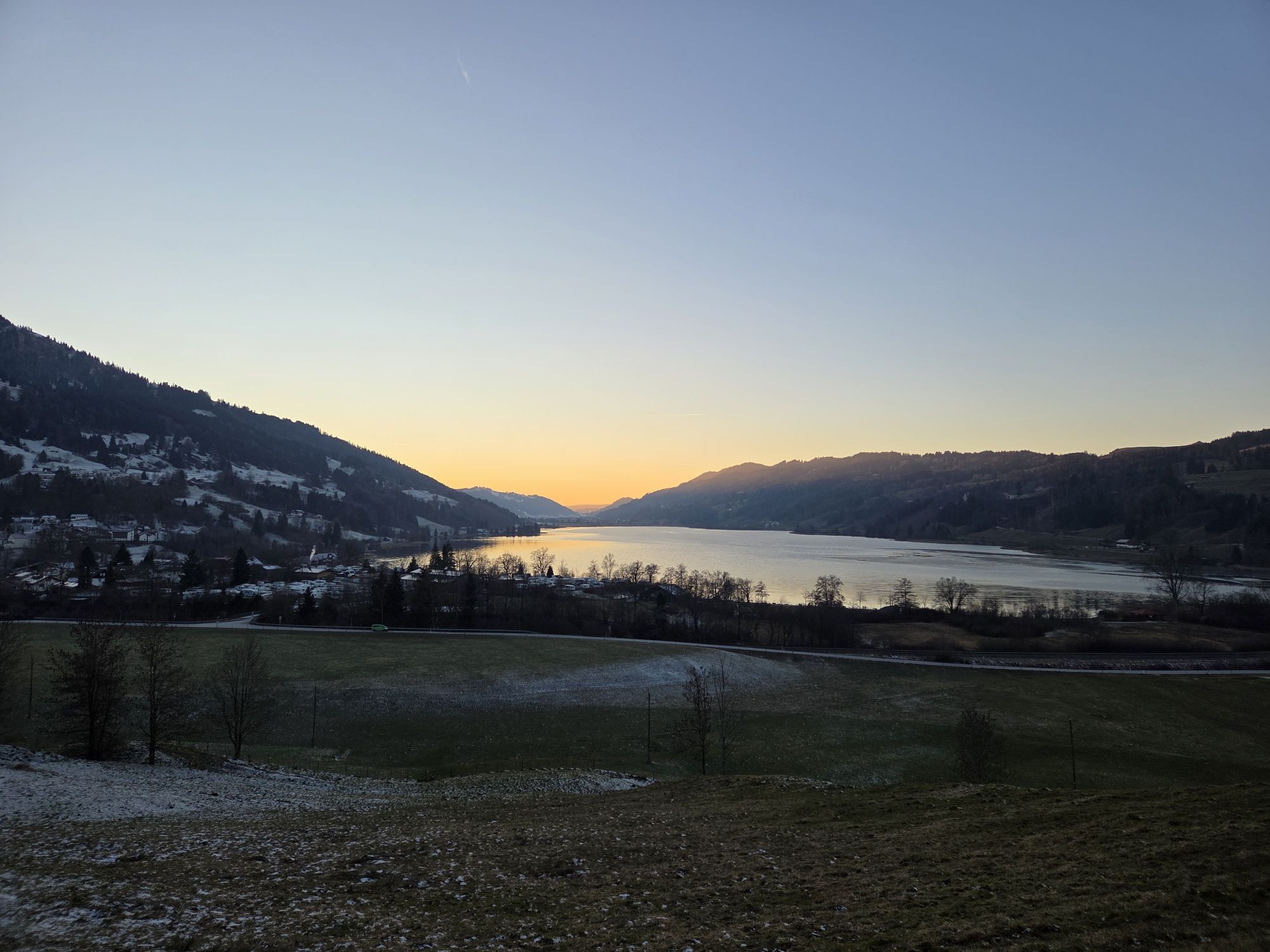
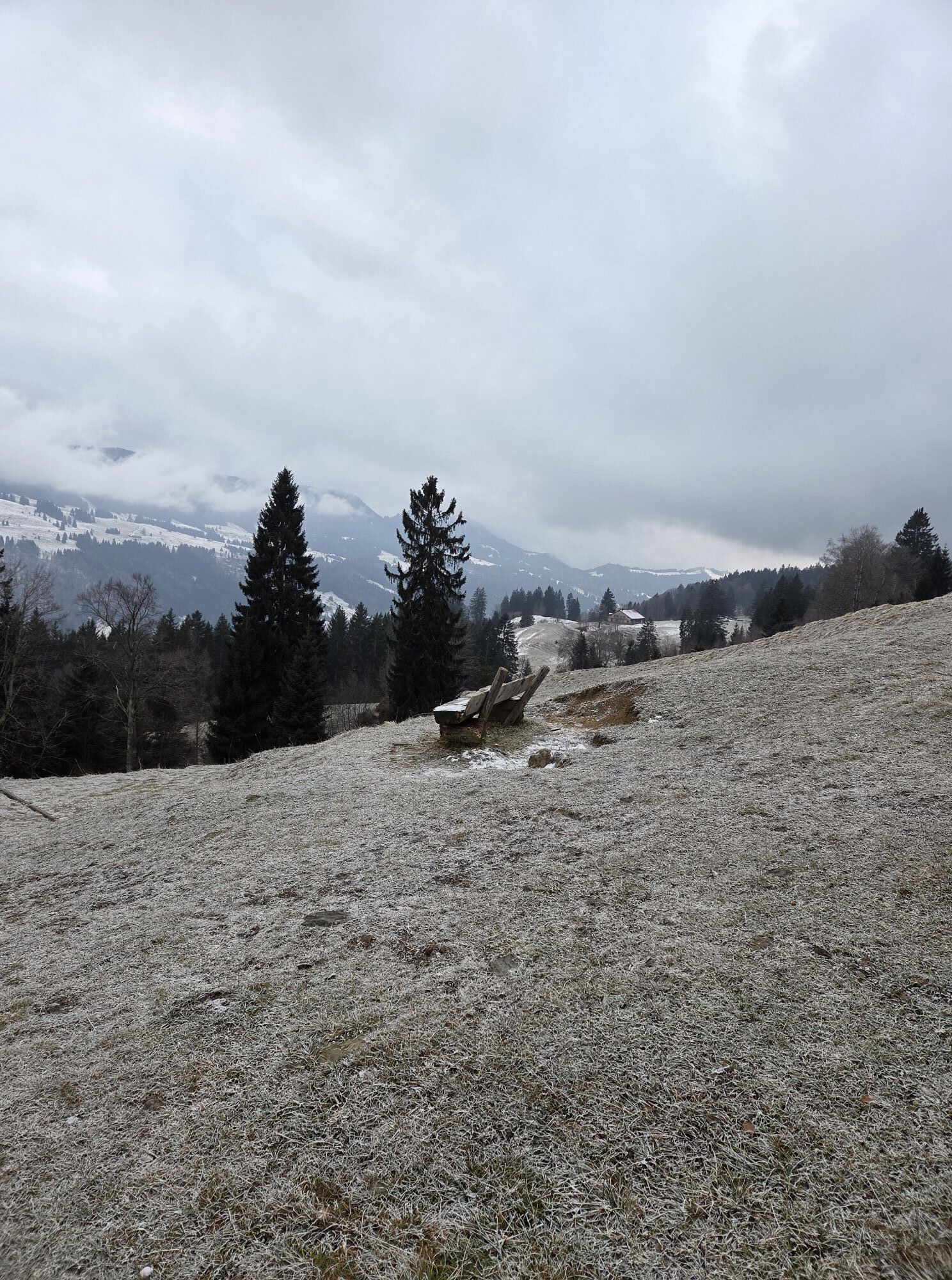

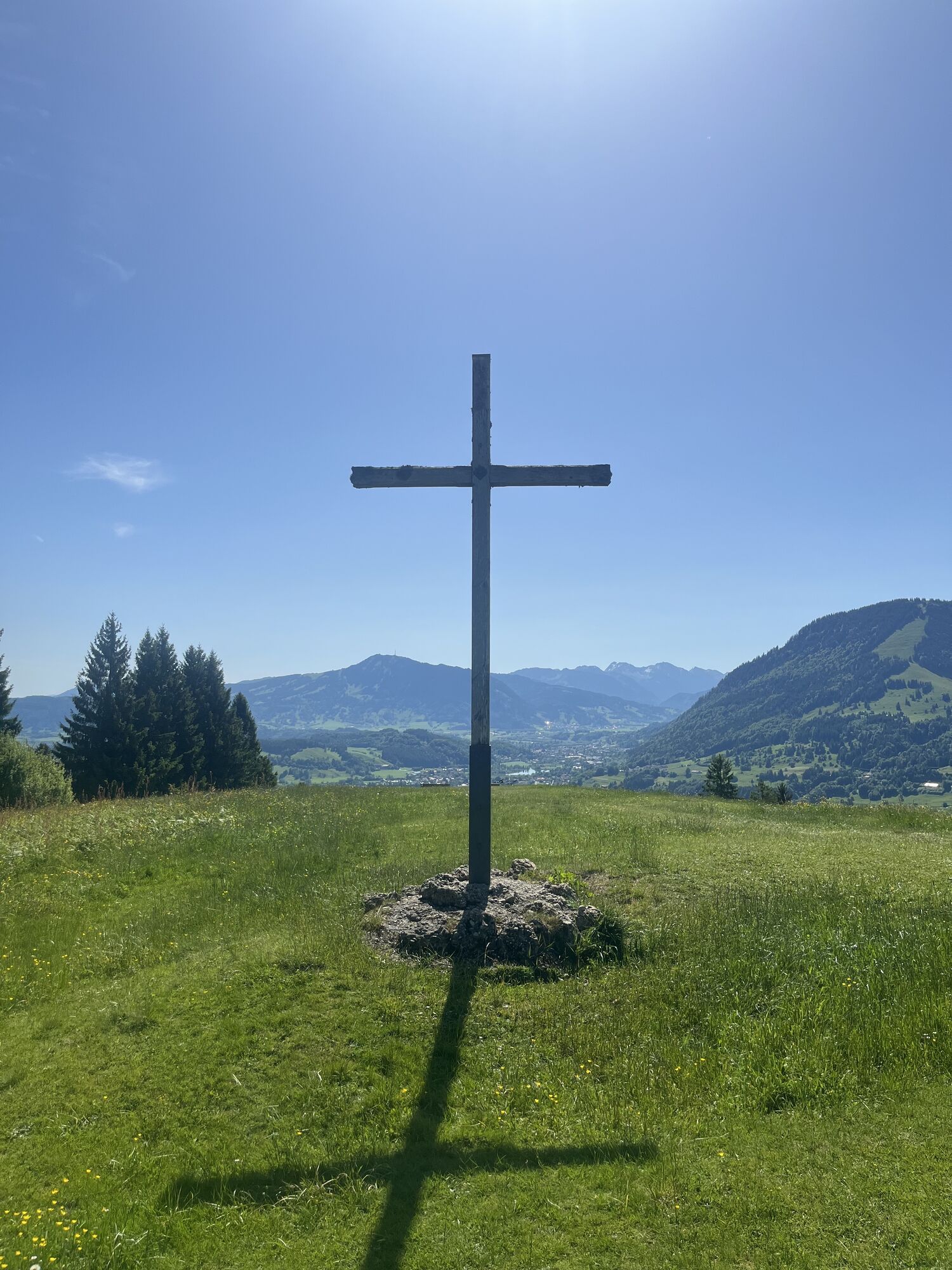
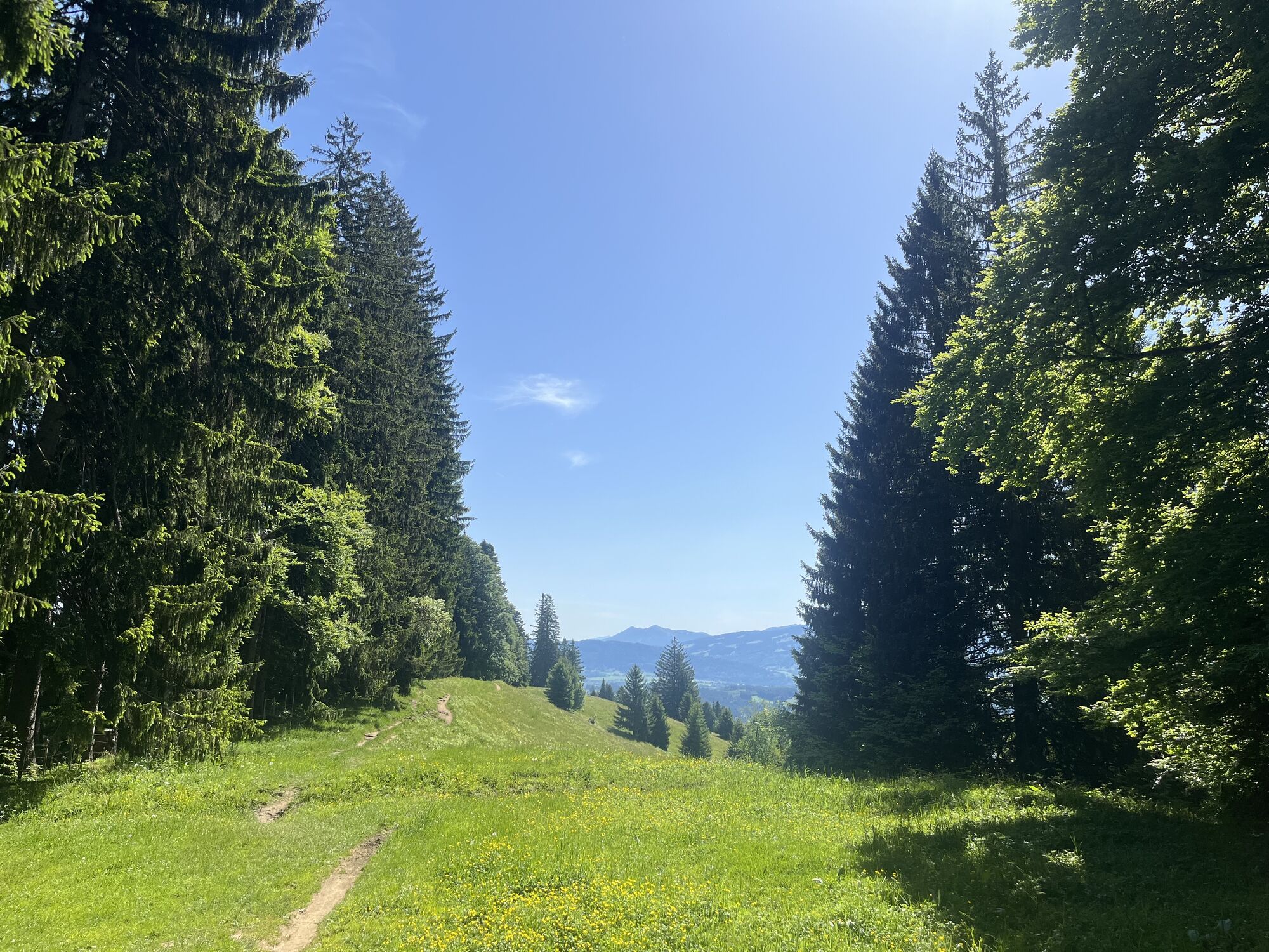

From Bühl, go over the railway crossing towards the connecting road to Missen/Zaumberg. Once there, turn left and immediately right within the town, then uphill along a sunken path to Siedelalpe. Over...
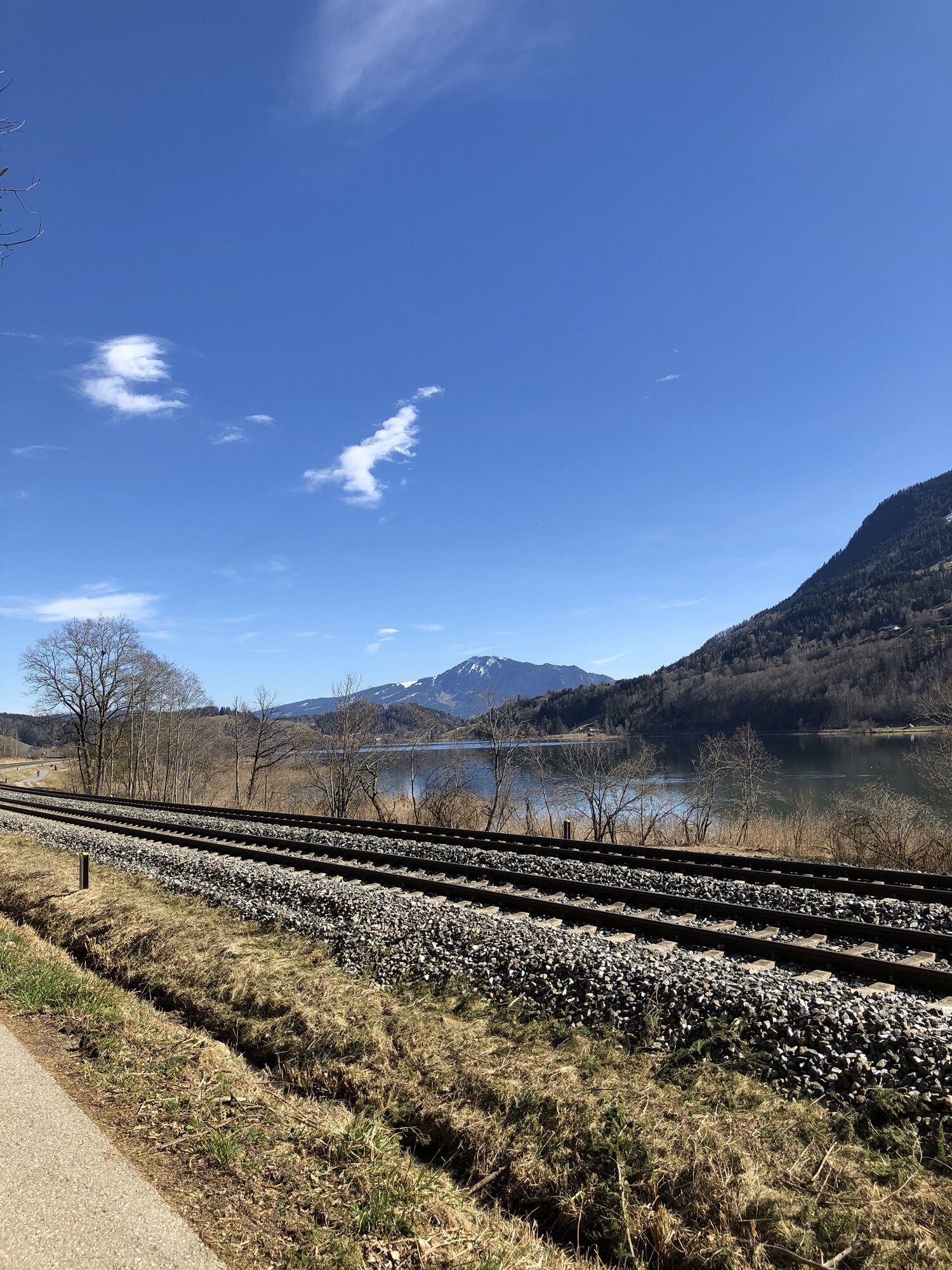
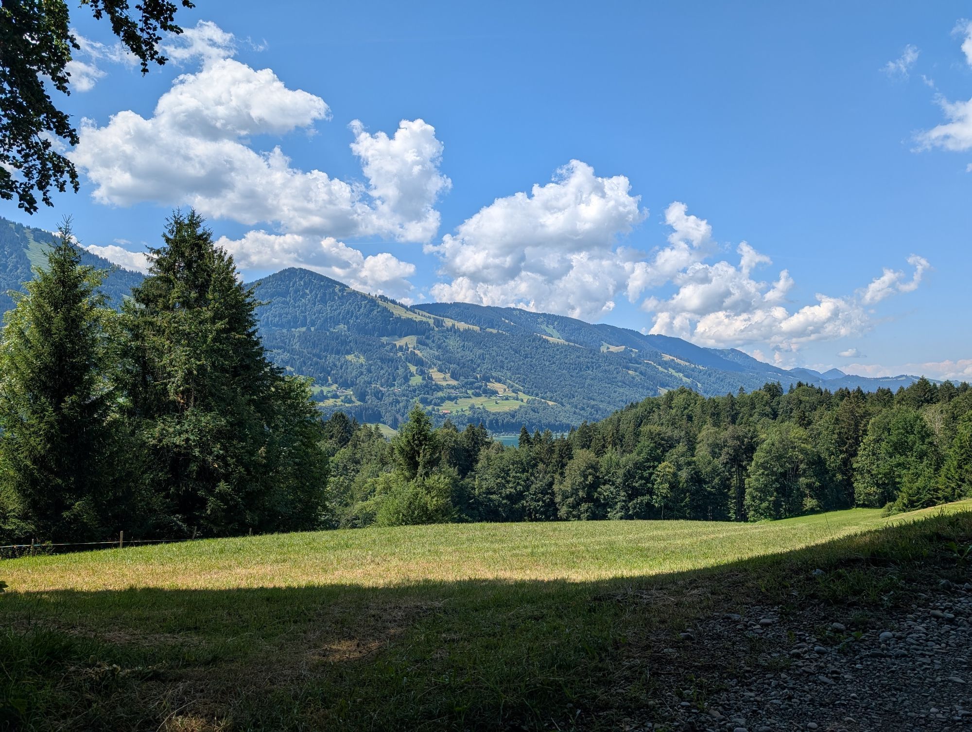
From Bühl, go over the railway crossing towards the connecting road to Missen/Zaumberg. Once there, turn left and immediately right within the town, then uphill along a sunken path to Siedelalpe. Over meadows and wood chip-covered forest paths, continue towards Pfarralpe. At the fork just before, keep right and go downhill on the paved road. Don’t miss the left turn to Holdalpe. From there, it goes uphill again through the forest. Along a drag lift, descend to the valley road and the Jugetbach. Follow the signposts to Salmaser Höhe via Bachschwandeneck and Hirnbein-Alpe. Some descents and sections of this route are difficult. Don’t miss the viewpoint Alpseeblick. Your return route leads you via Reuter and Trieblings back to Bühl—always along the lake.
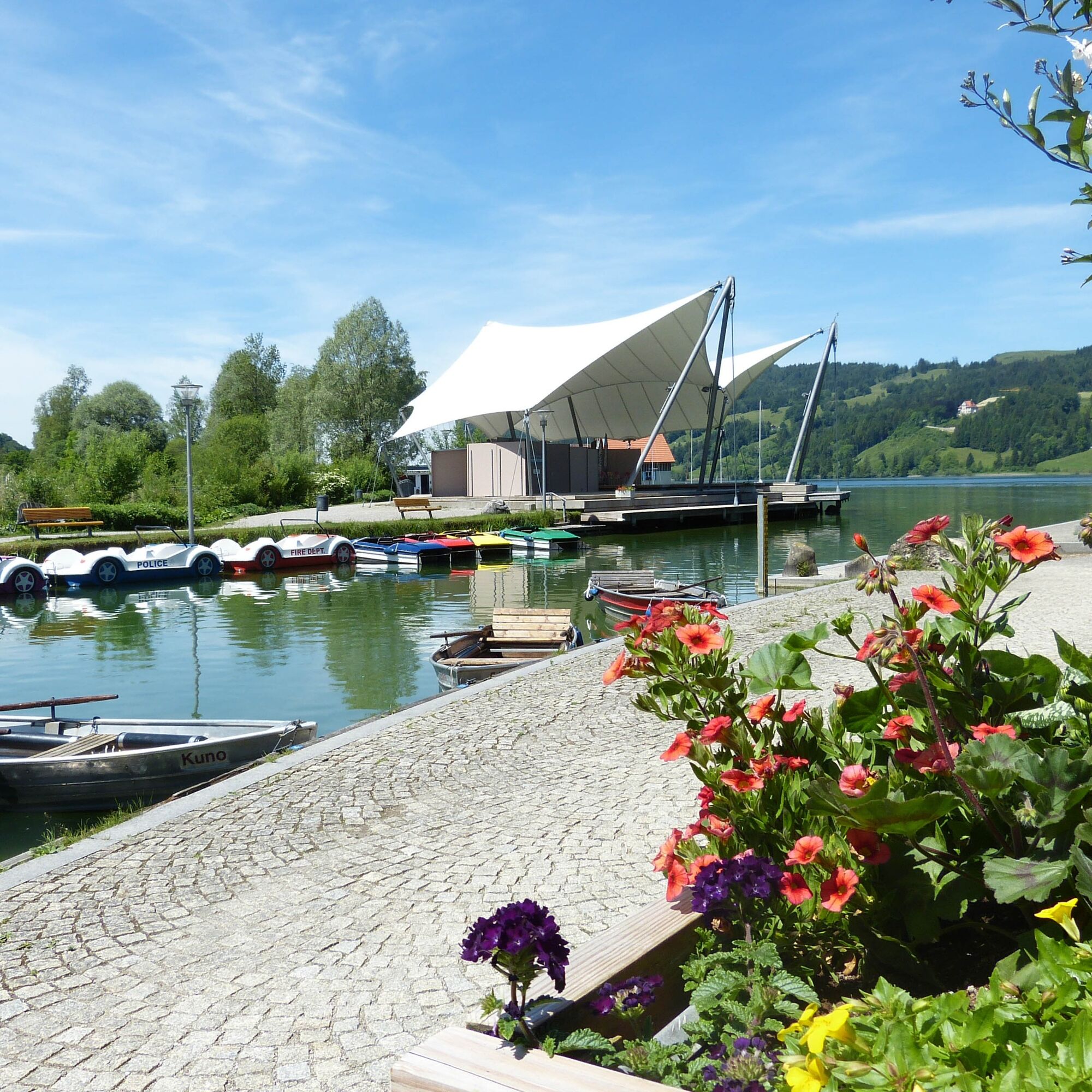
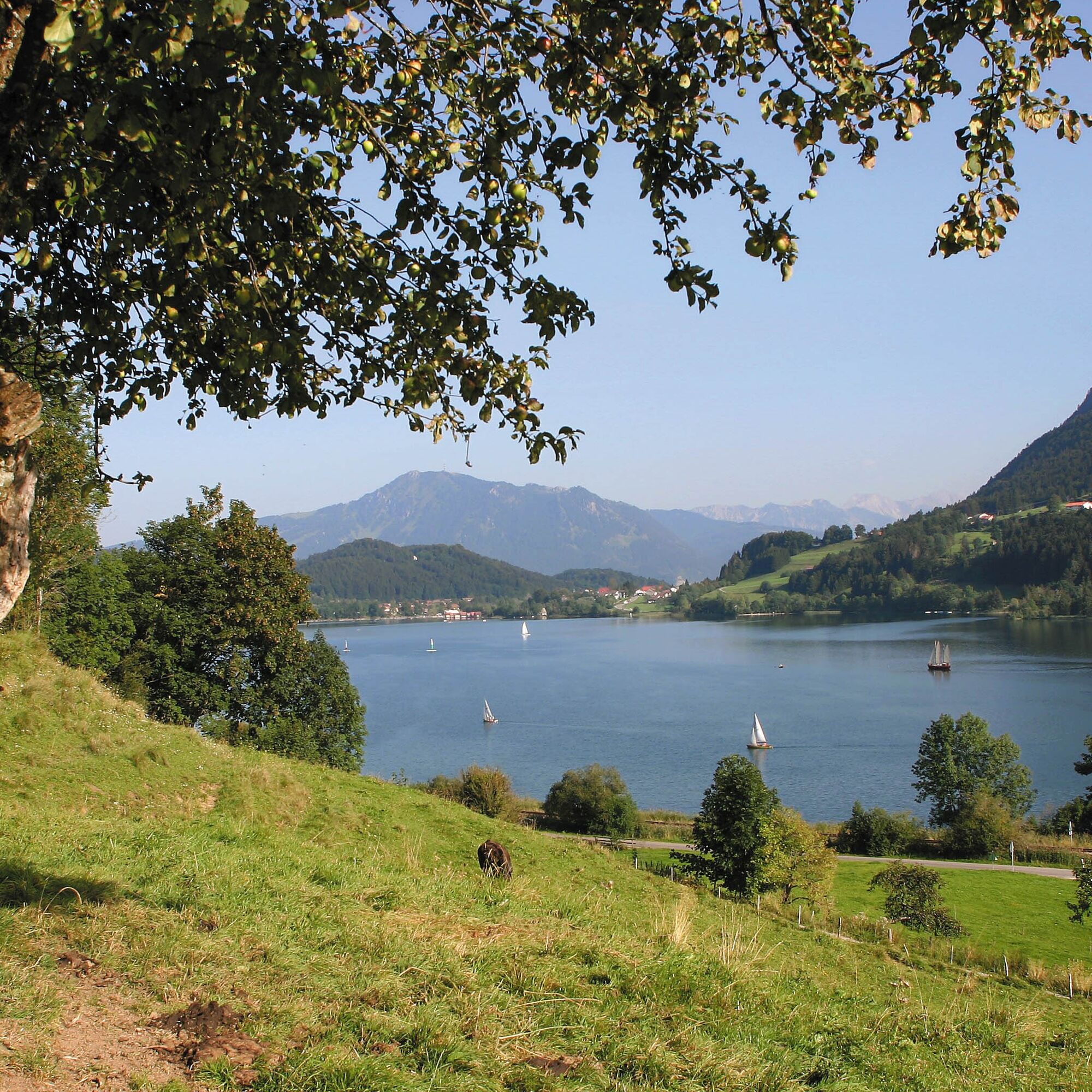
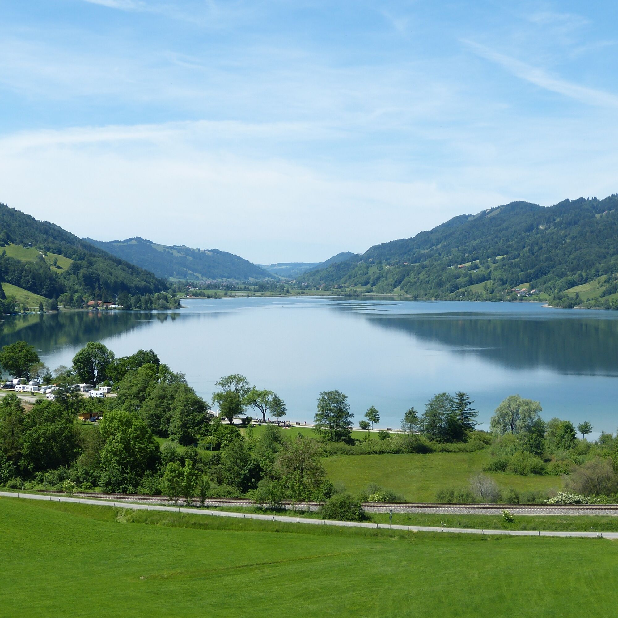
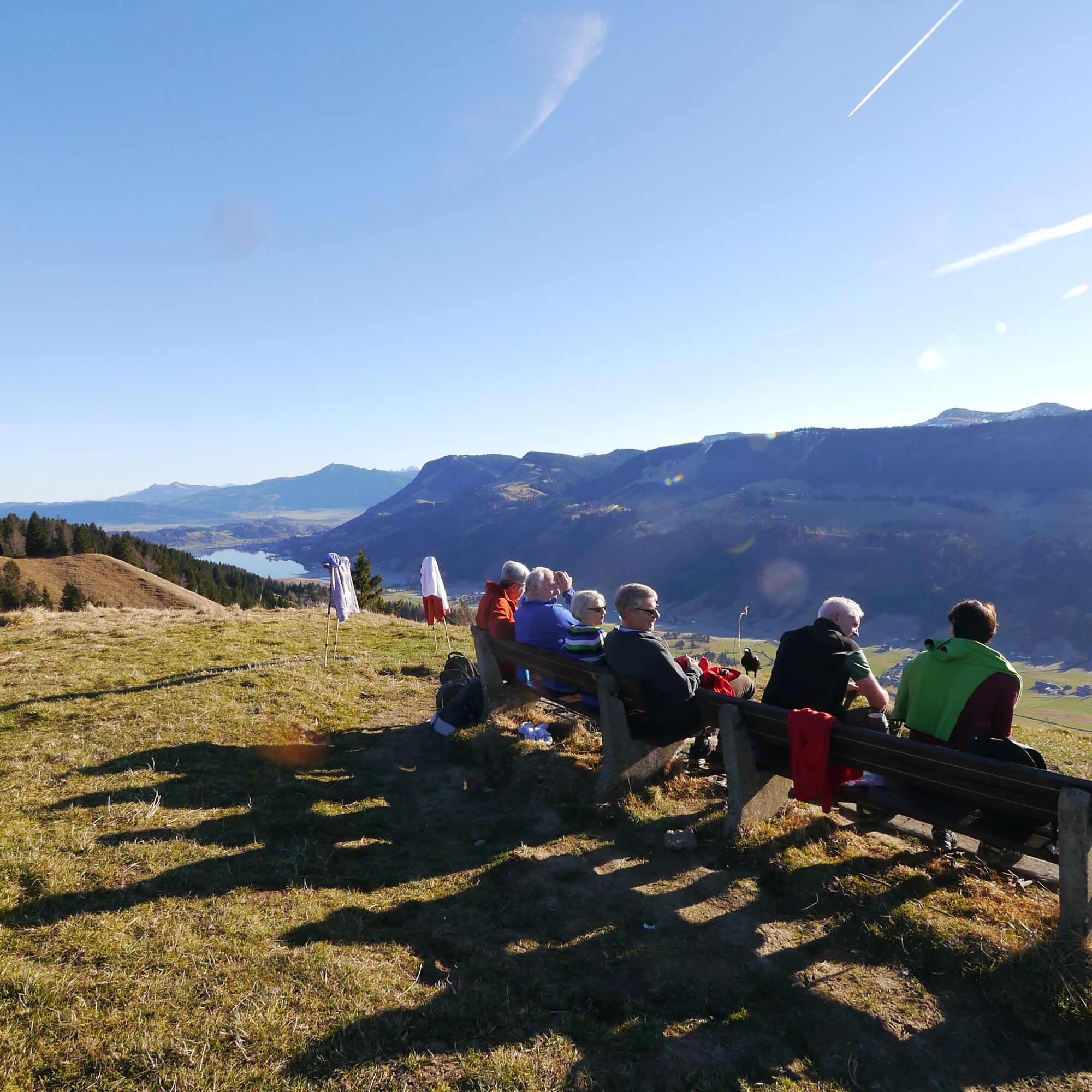
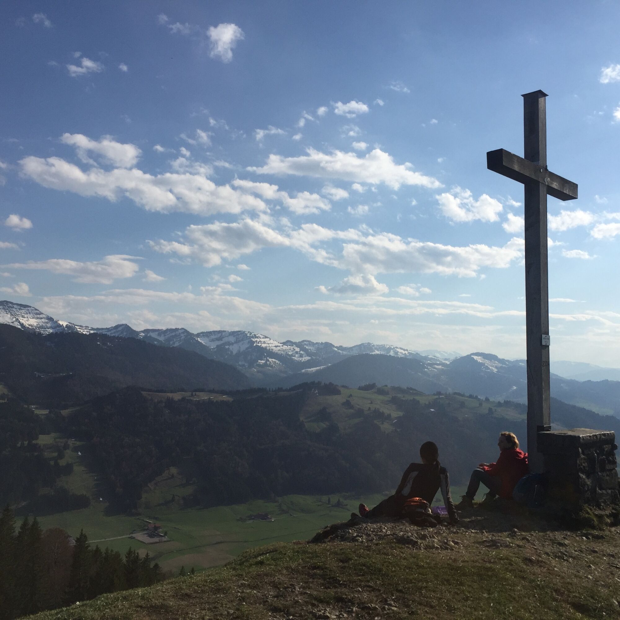

This mountain bike circuit offers steep climbs, flowing trail sections, and tricky descents. The route is recommended for light bikes—no recommendation for e-bikes or e-MTBs!
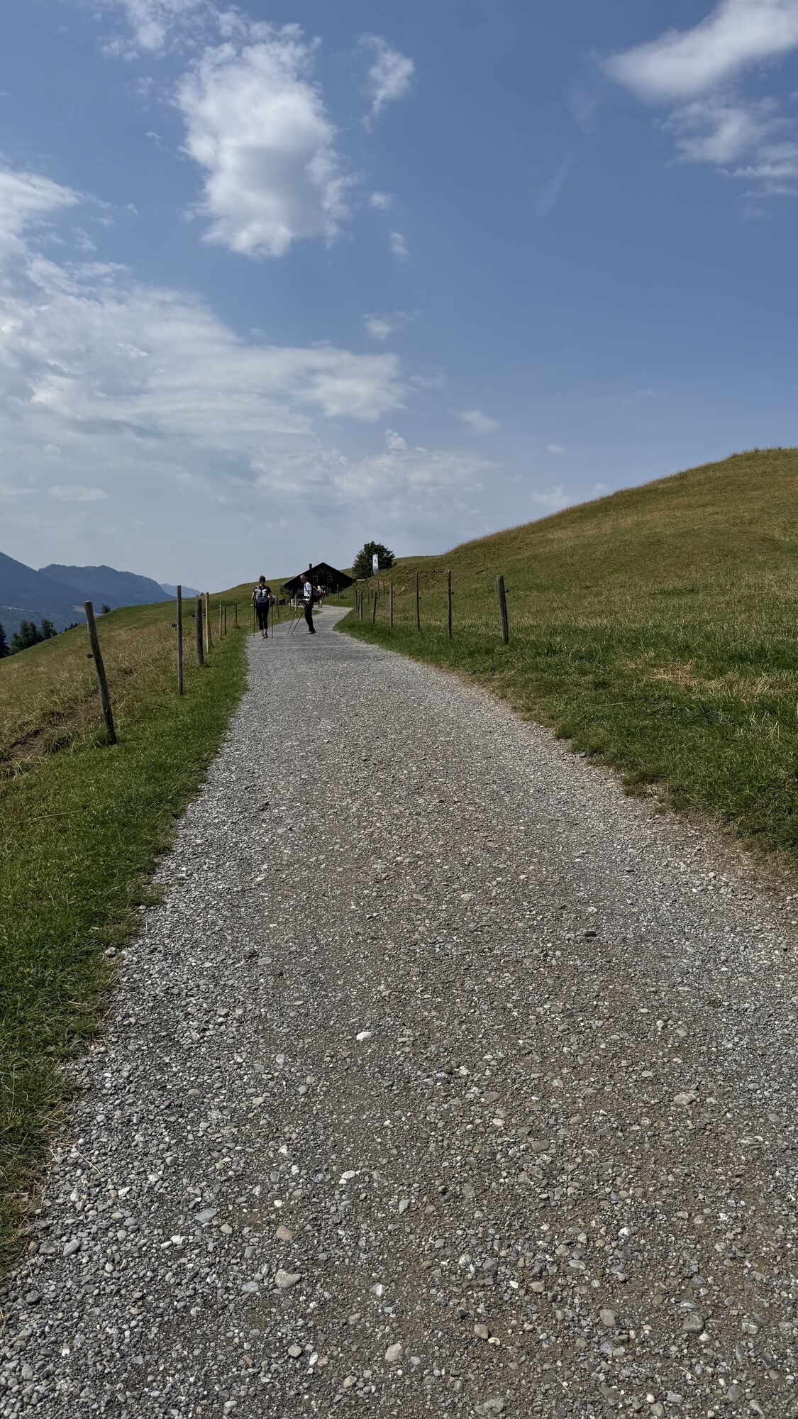
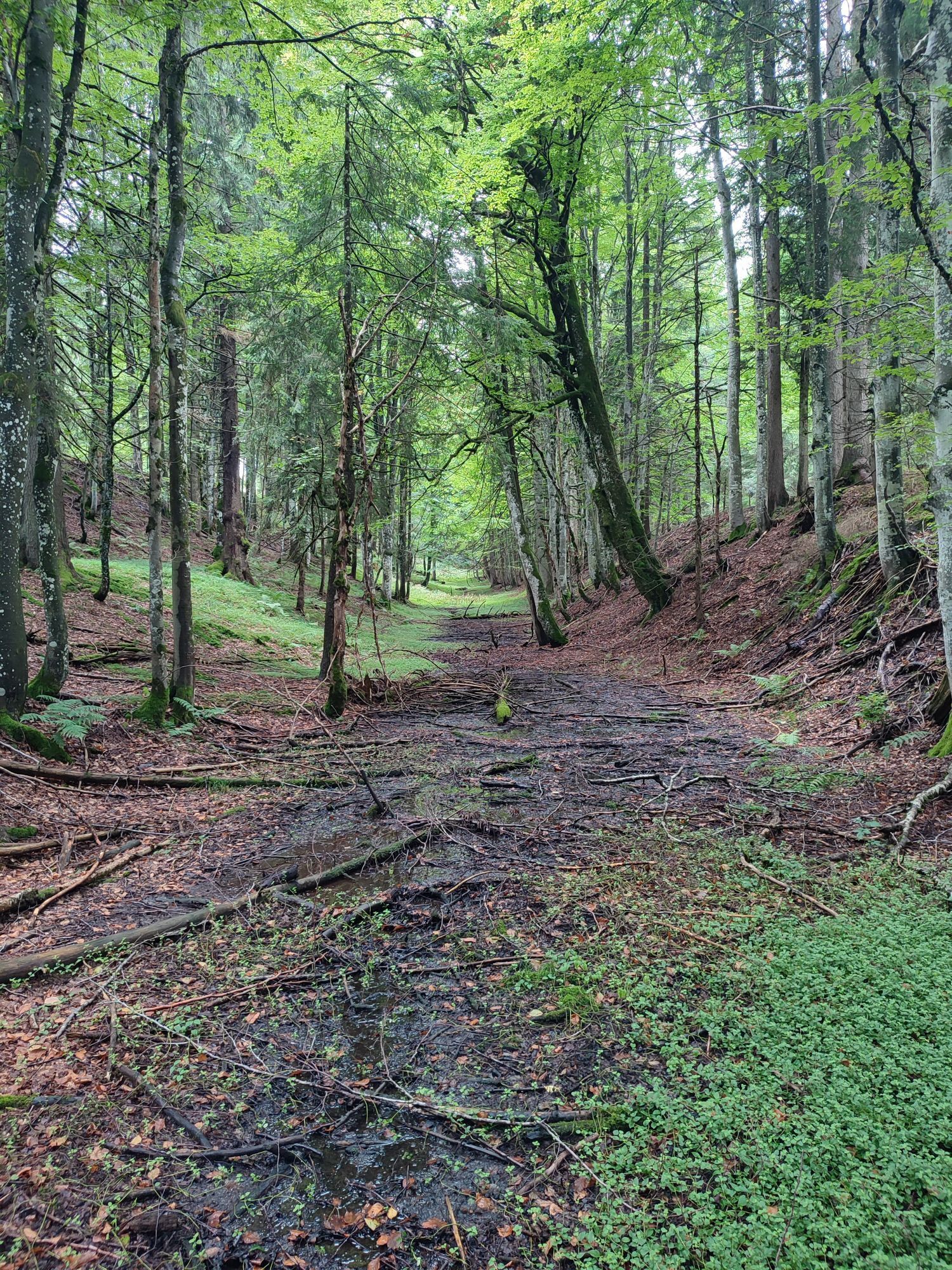
The starting point of the route is the Nagelfluhkette Nature Park Center in Bühl. You start towards Fischerweg until you reach Hotel Rothenfels. Here you turn left. Now the path leads uphill over the ST 2006. After about 150 meters of elevation, you reach the village of Zaumberg, where you can turn left. In the village center, turn left and then follow the path to the right. Now continue steadily uphill following the signs through a beautiful old sunken path, with partly stony sections, up to the well-known Siedelalpe.
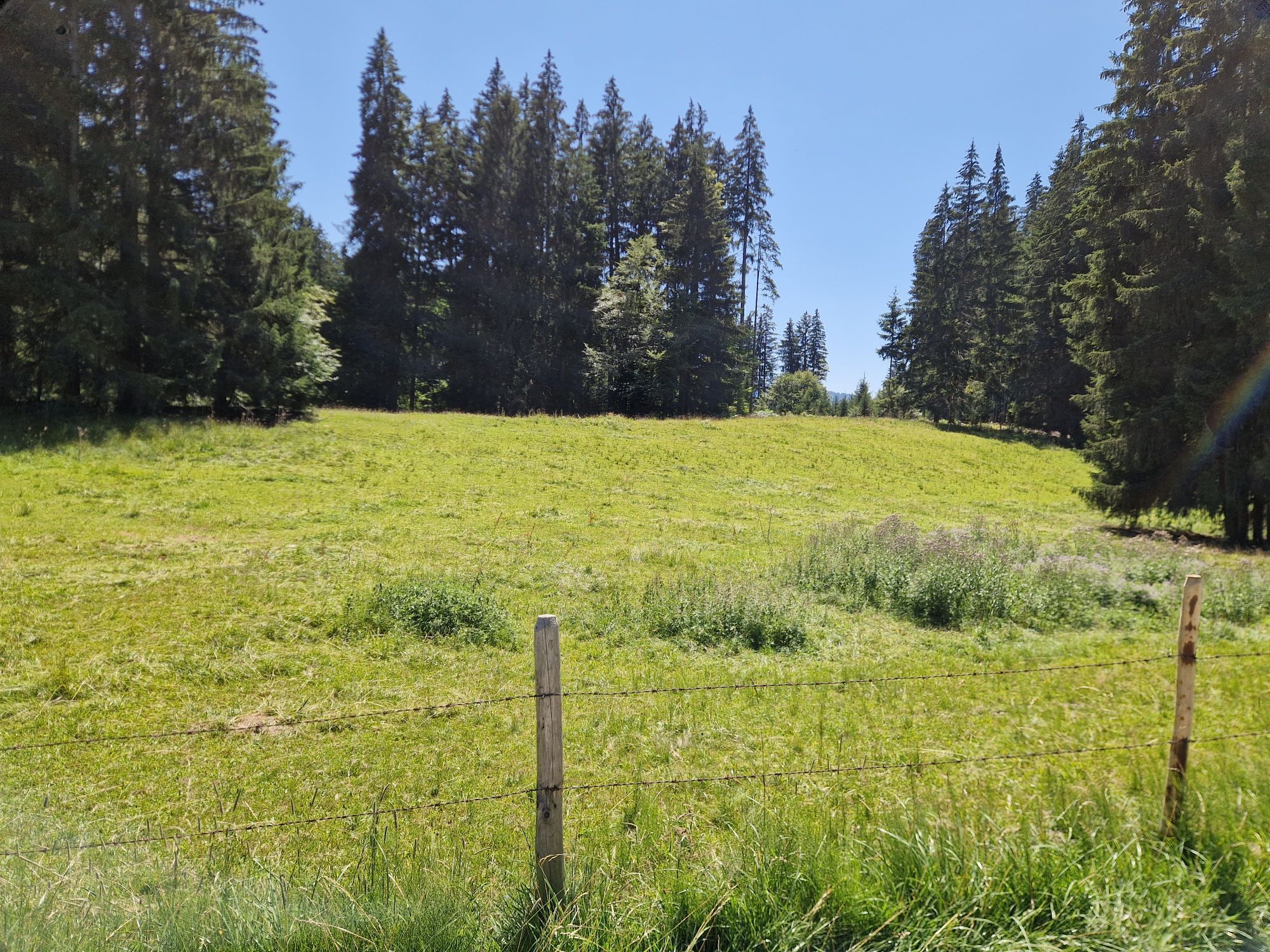
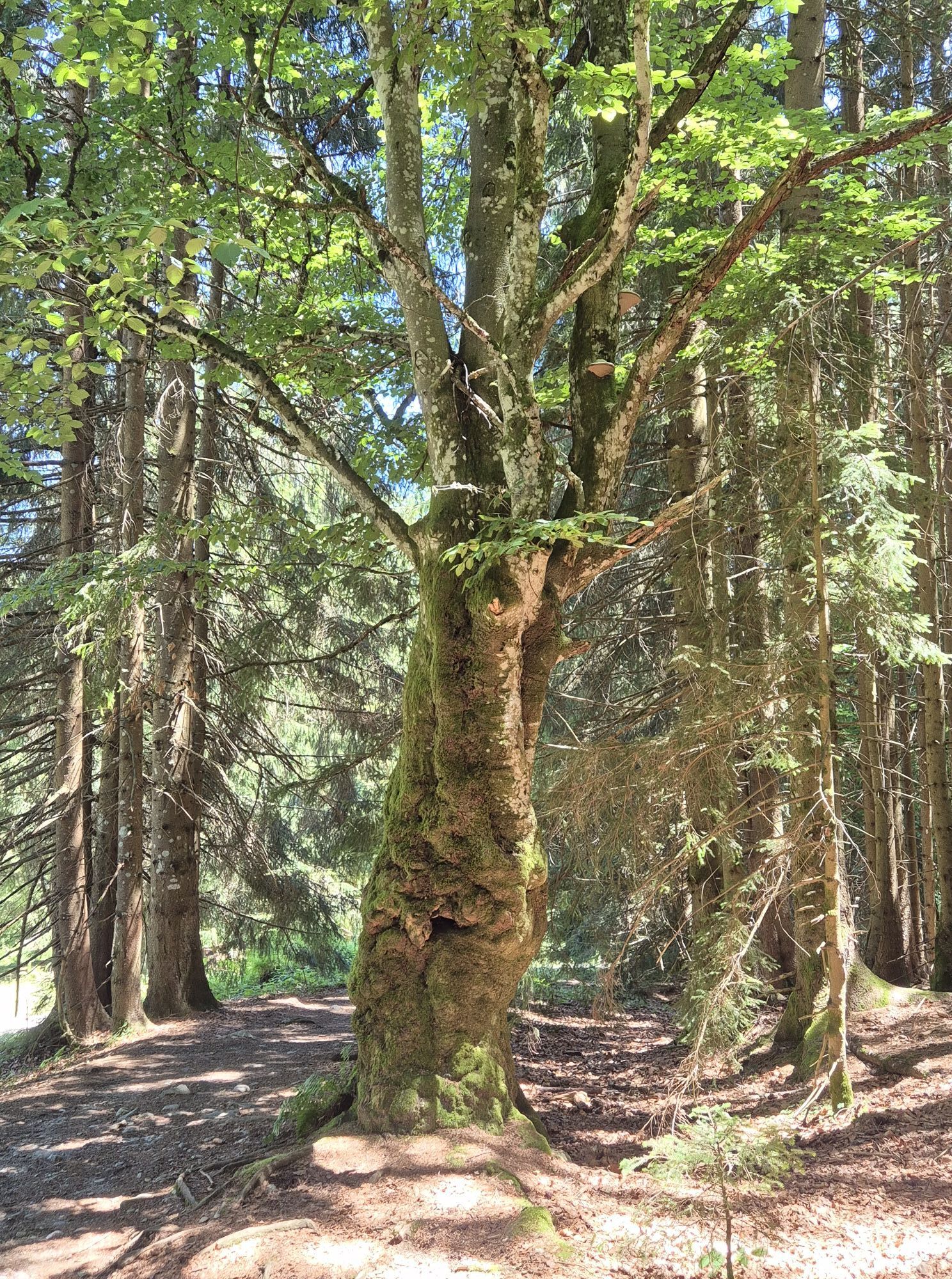
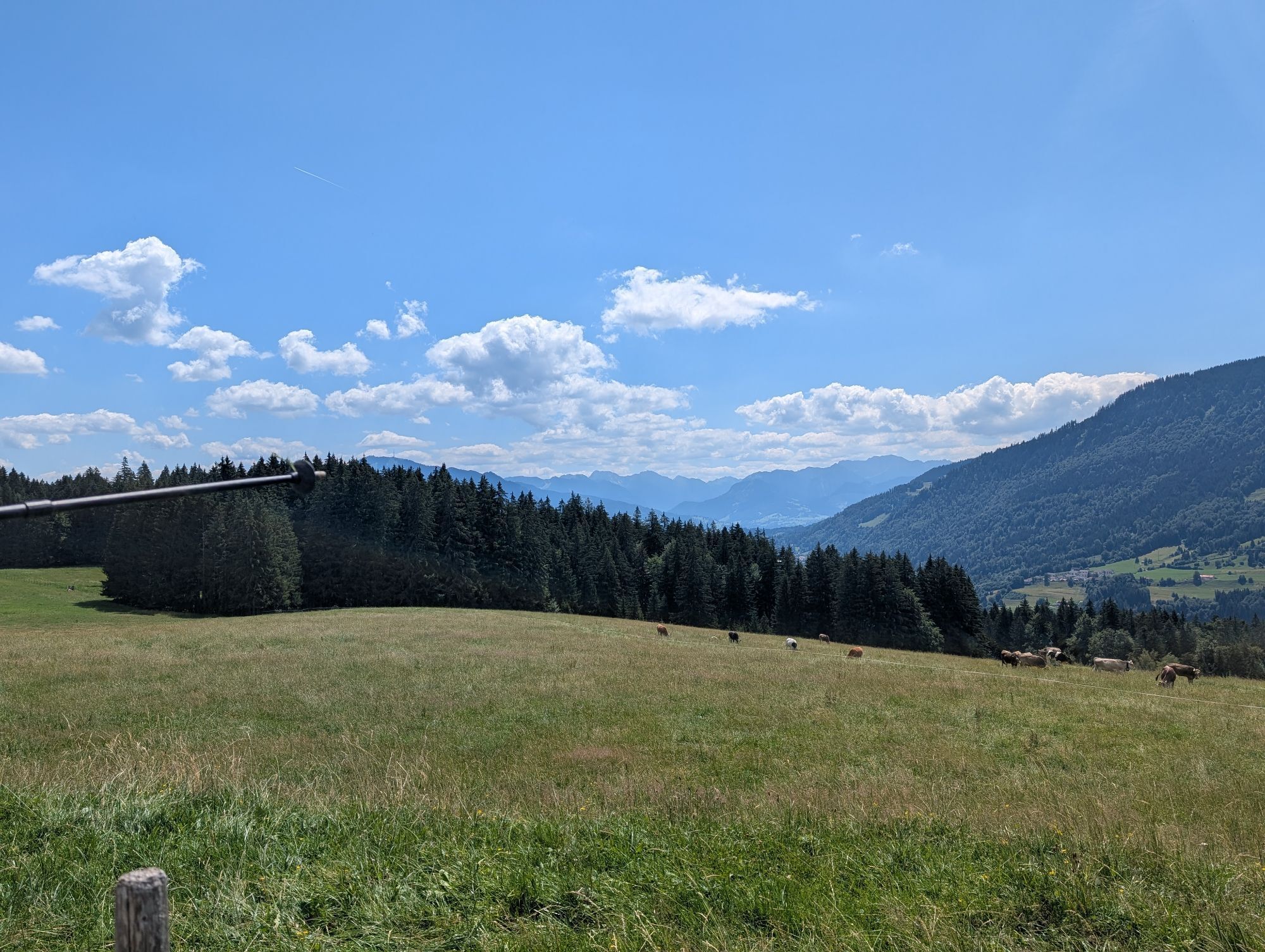
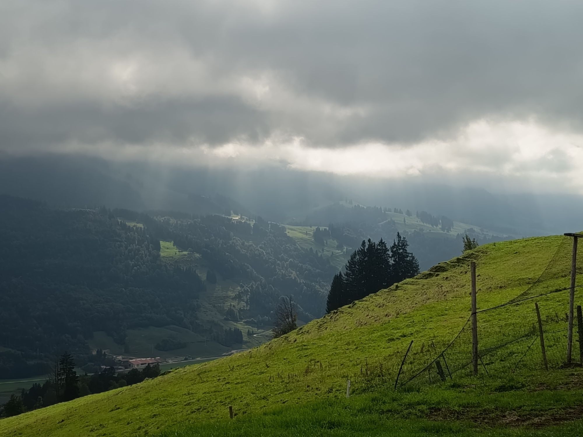
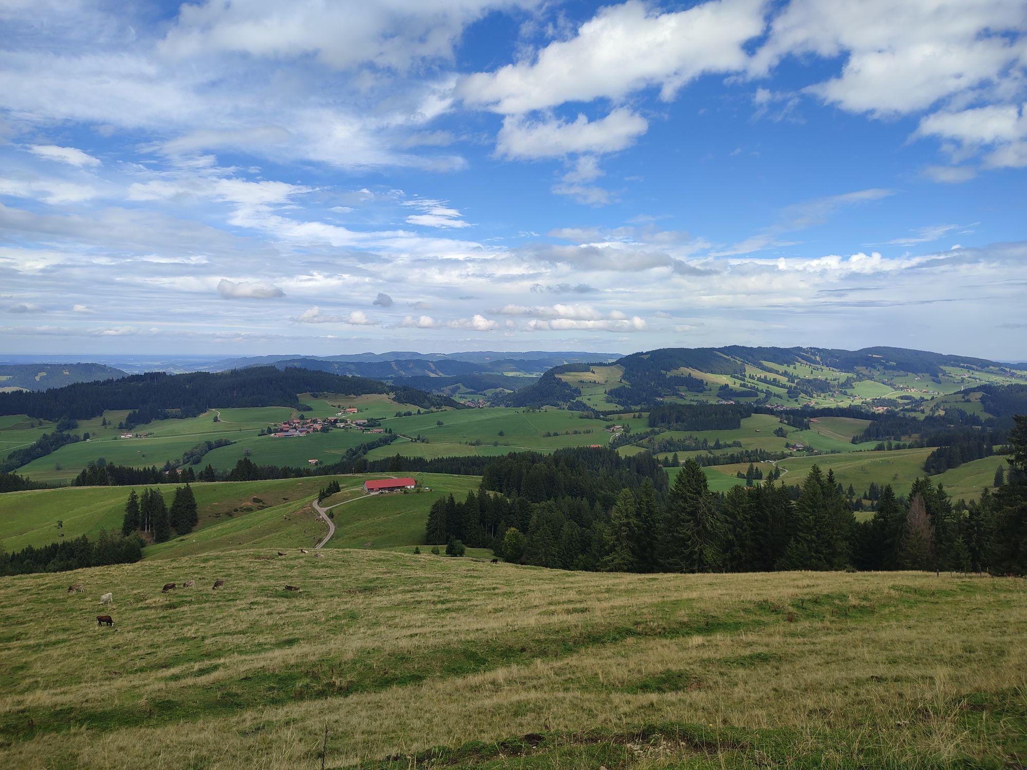
You pass the alpine pasture on the right and then ride over meadow paths and wood chip-covered forest paths. Through the moss, you head towards Pfarralpe. Once you can see the hut, at the fork turn right downhill on the paved road. Attention: don’t miss the left turn towards Holdalpe! Over meadows and forests, you pedal uphill until you leave the forest and see the drag lift "Thaler Höhe." You zigzag down the lift track to the valley station and then turn onto the valley road at Jugetbach.
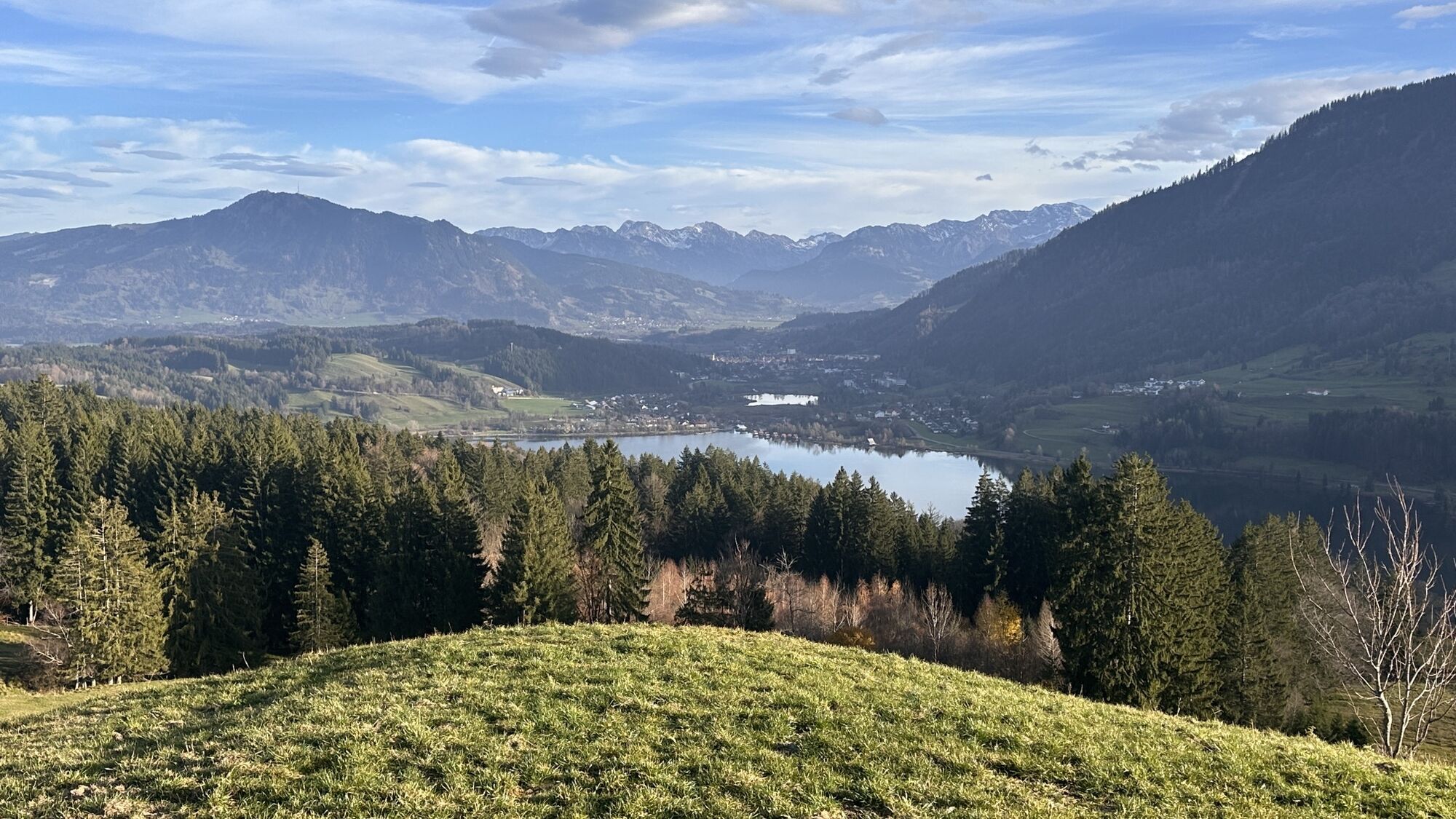
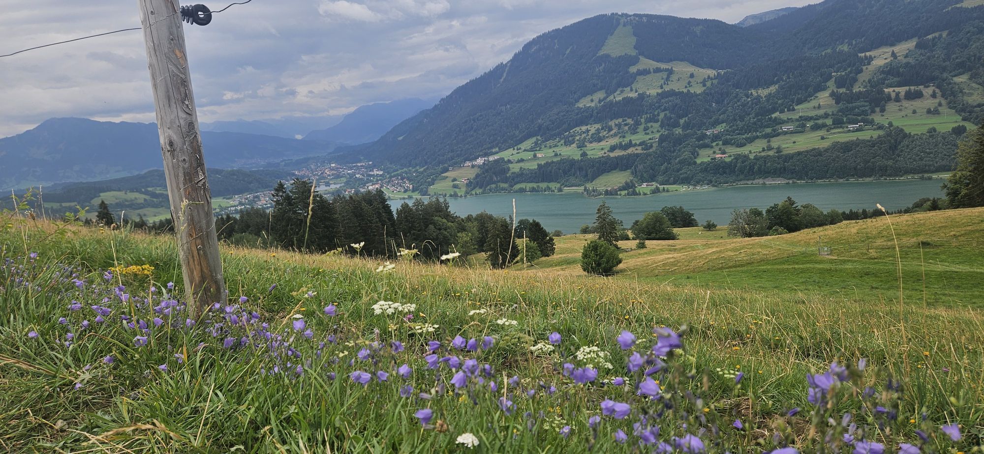
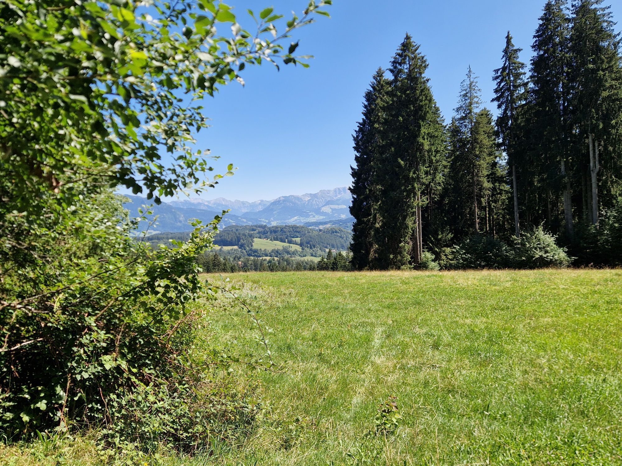
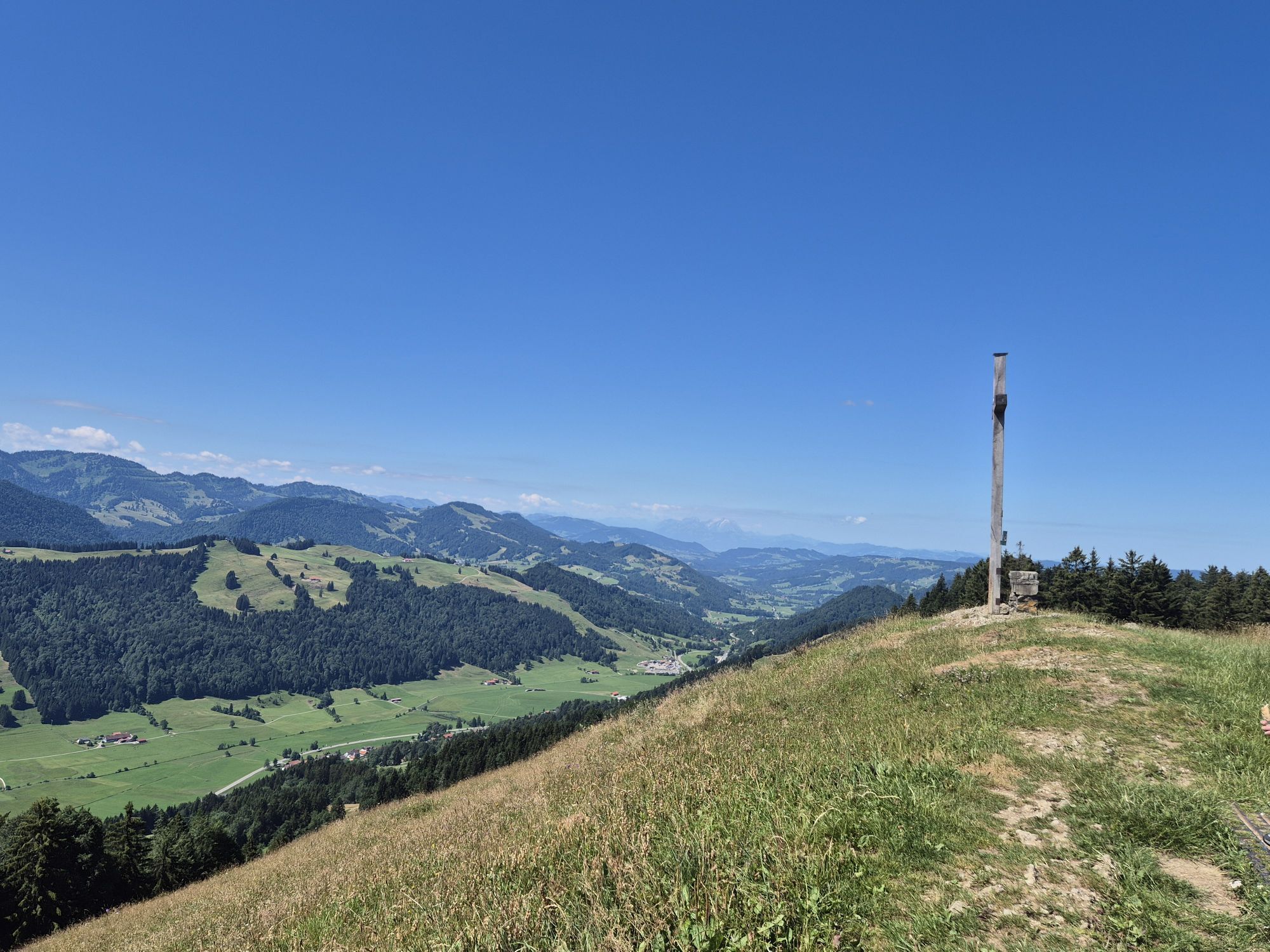
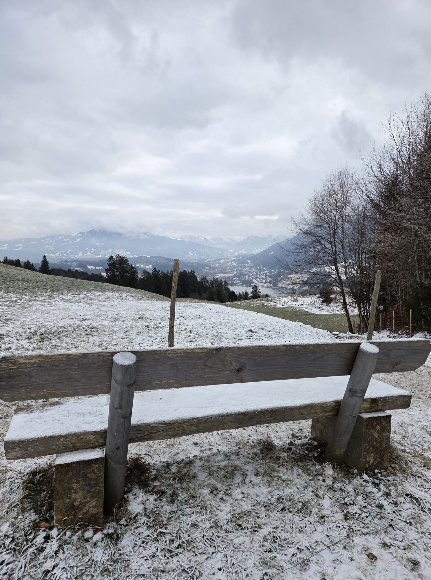
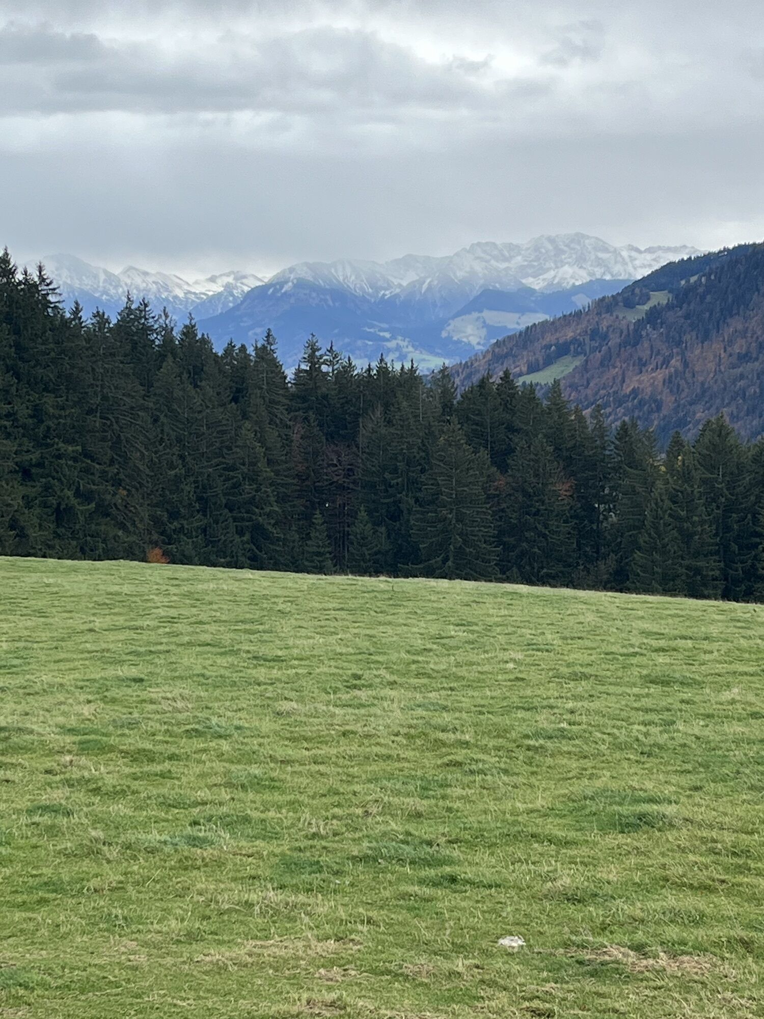
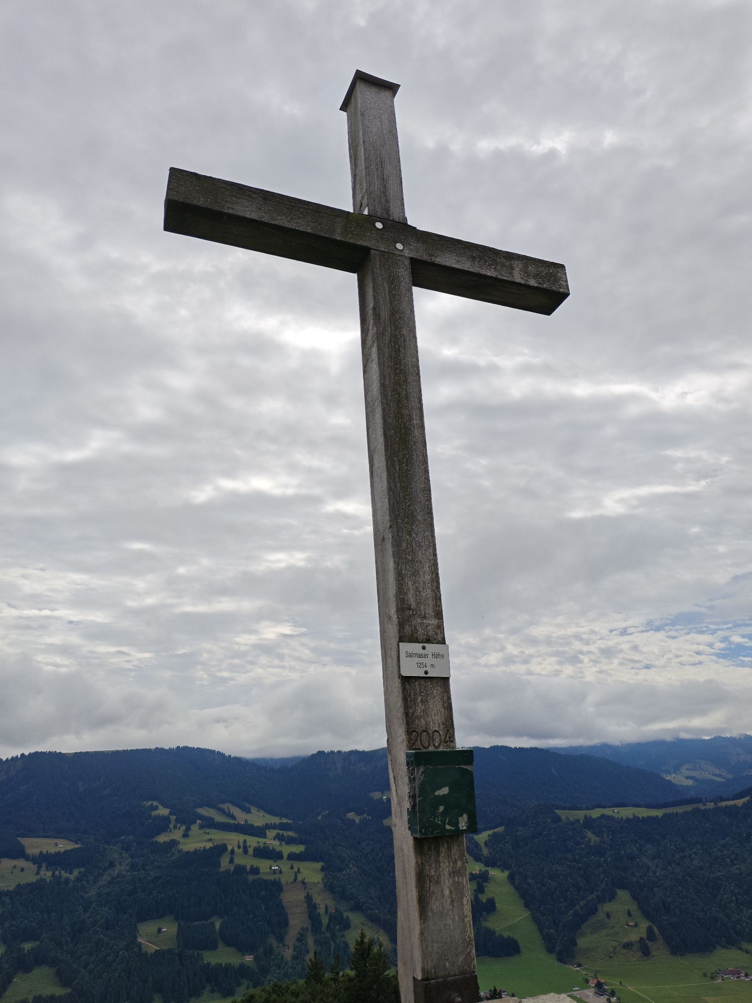
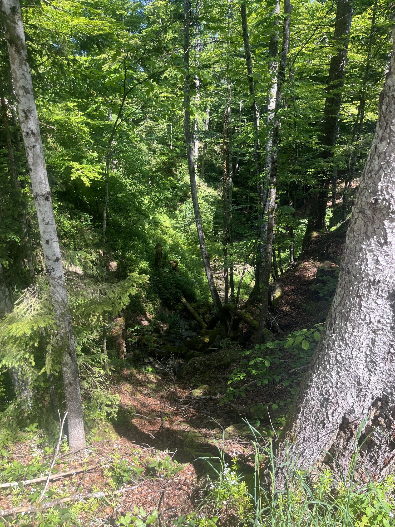
You continue rolling downhill over forest and meadow paths to then partly pedal uphill again around Bachschwandeneck at Untereibele Alpe. Along the ridge and after a steep descent, you ride to Hirnbein-Alpe. Now a pretty tough climb over a mulchy meadow to Salmaser Höhe lies ahead, where you will also have to push the bike in some places. The beautiful panoramic view to the Swiss mountains and the deep view into the valley are the reward for it. Upon reaching the ridge of Salmaser Höhe, a difficult descent over rooty trails and tricky passages to the viewpoint "Seeblick" awaits you.
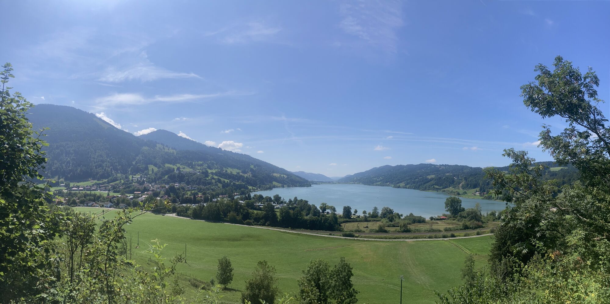
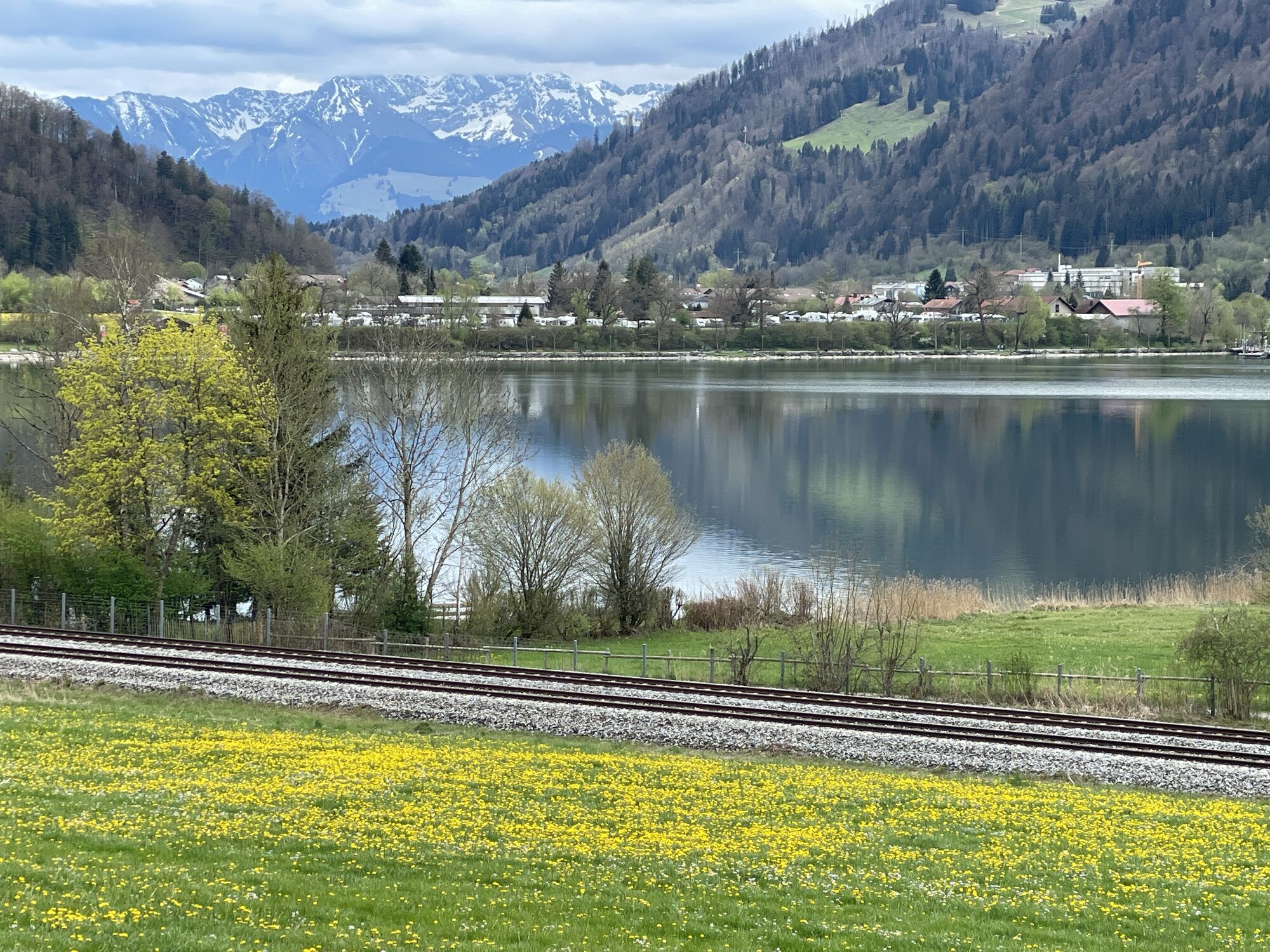
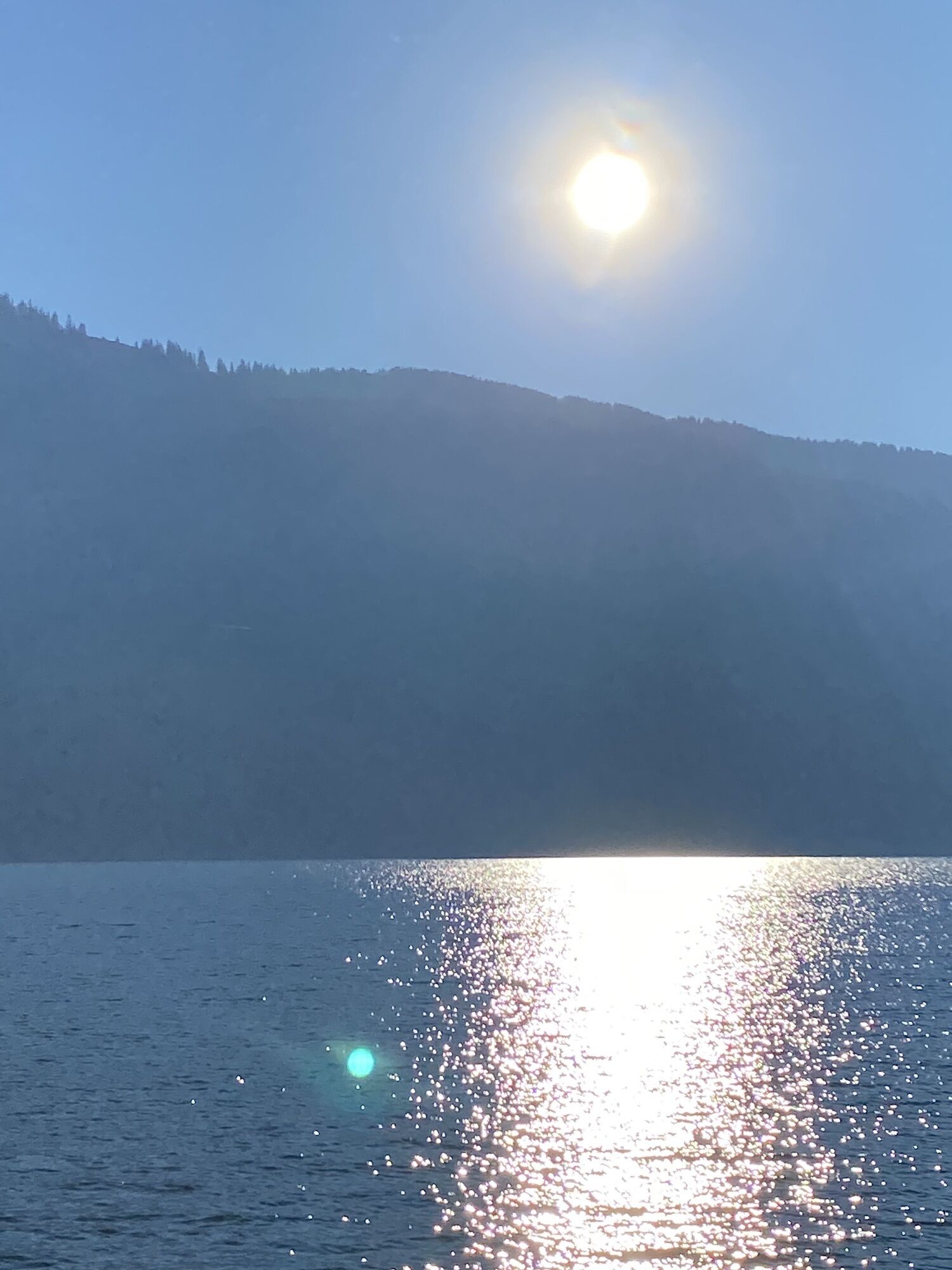
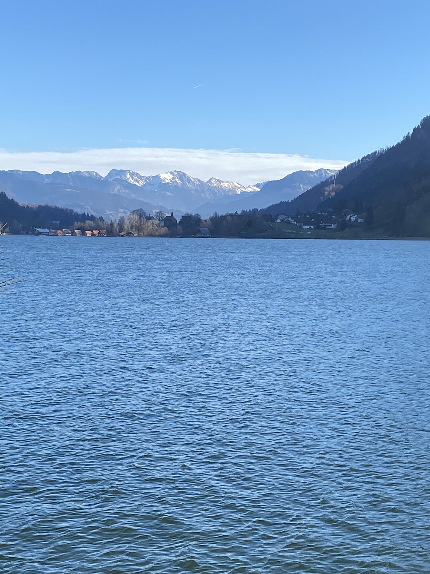
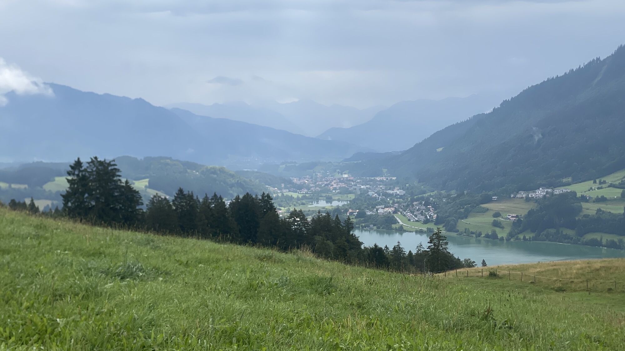
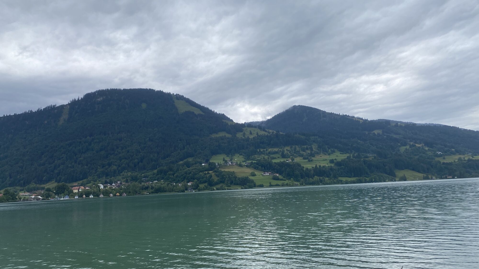
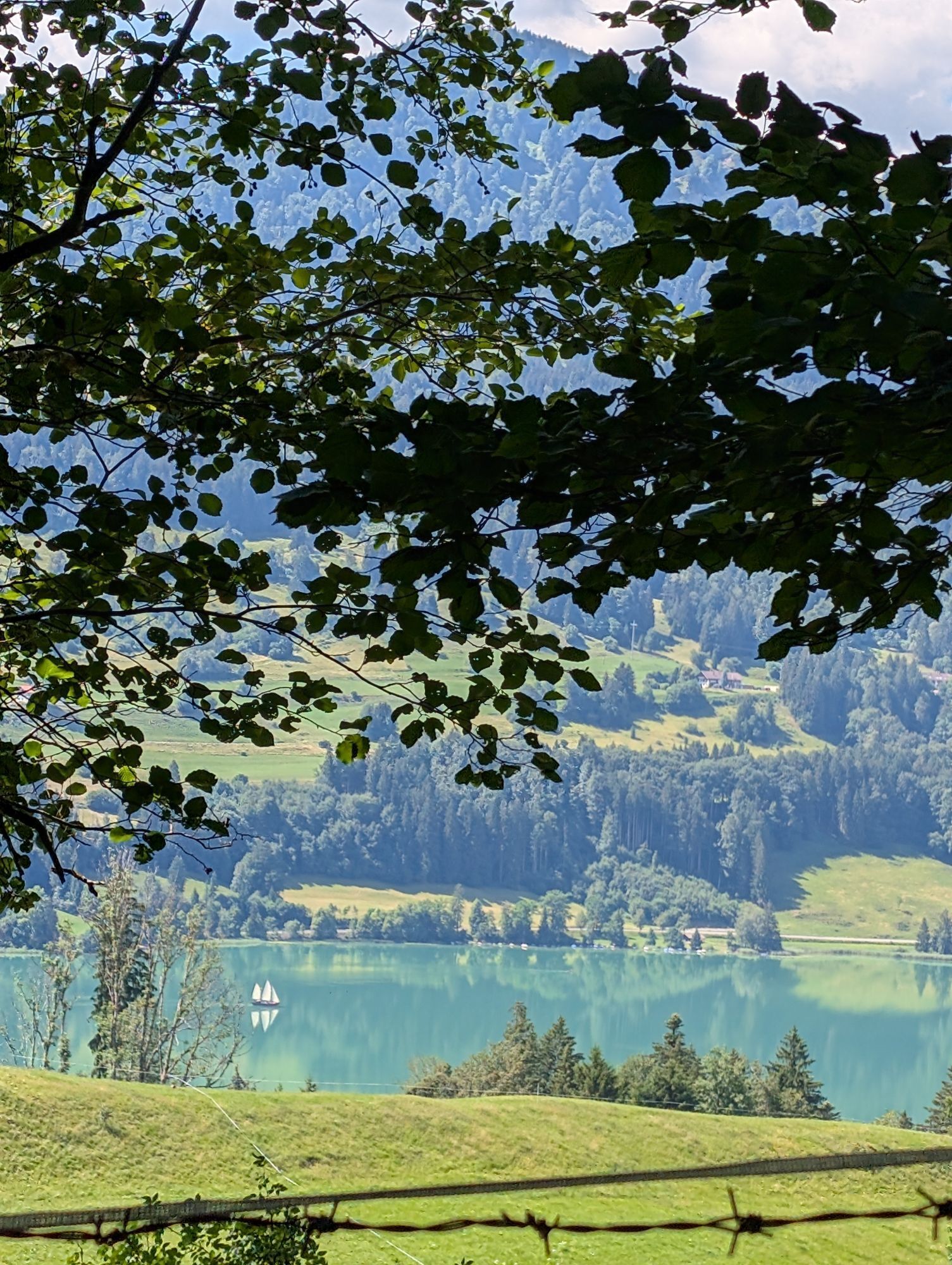
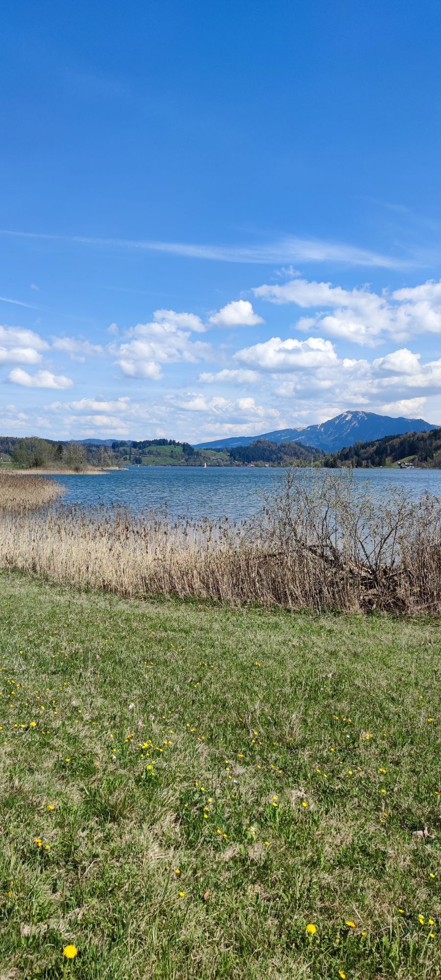
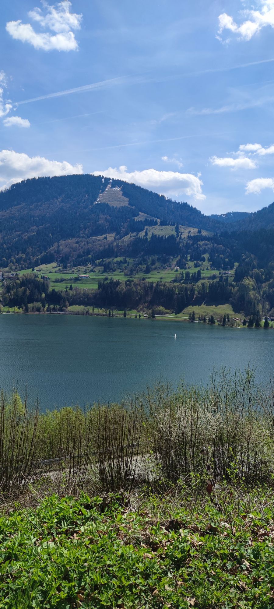
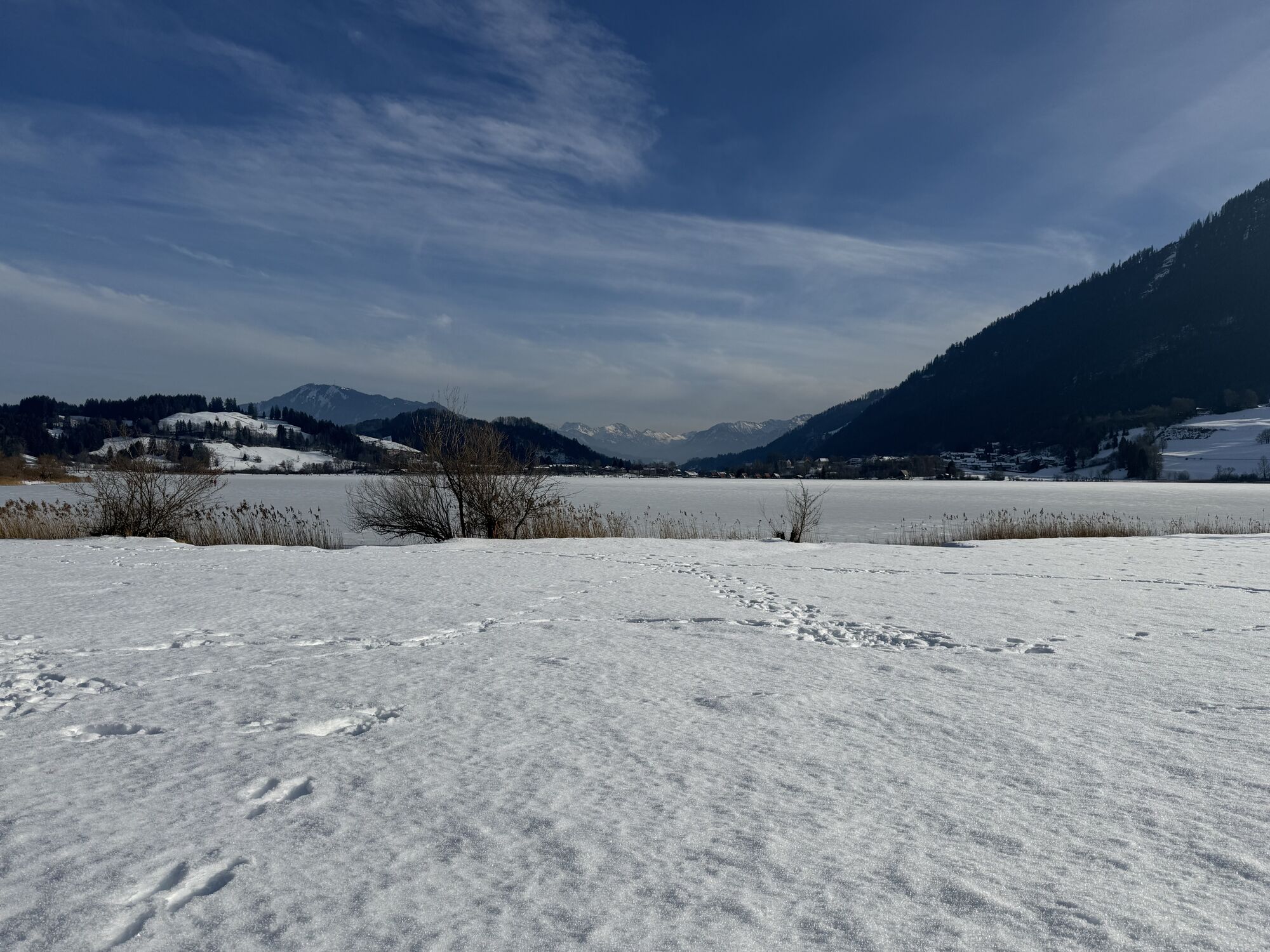
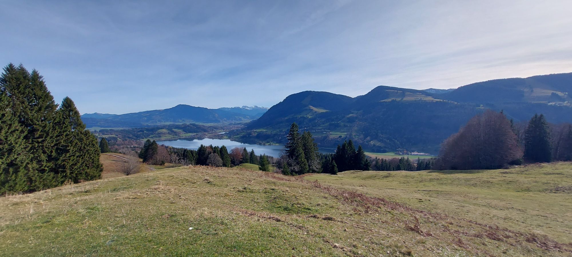
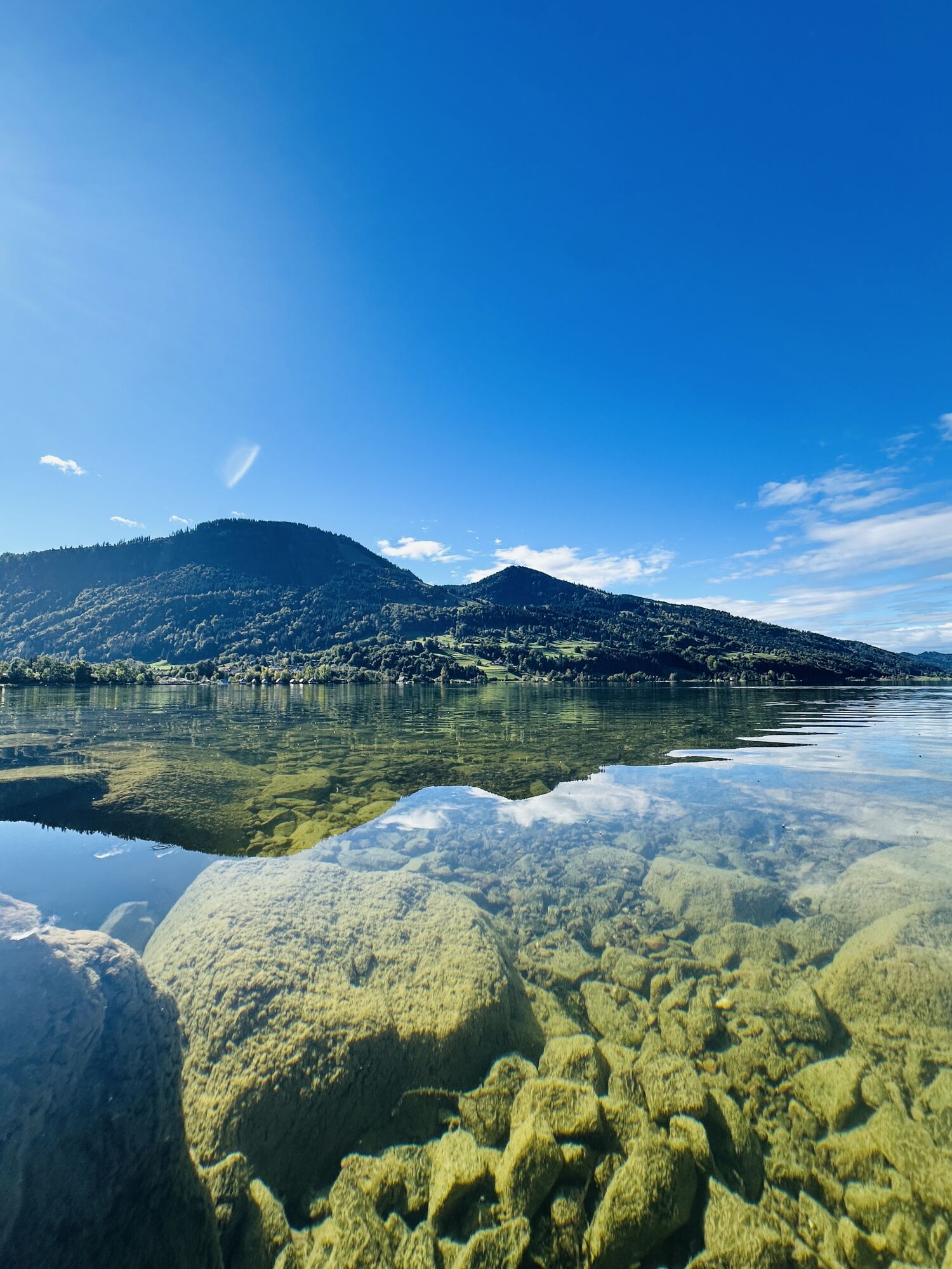
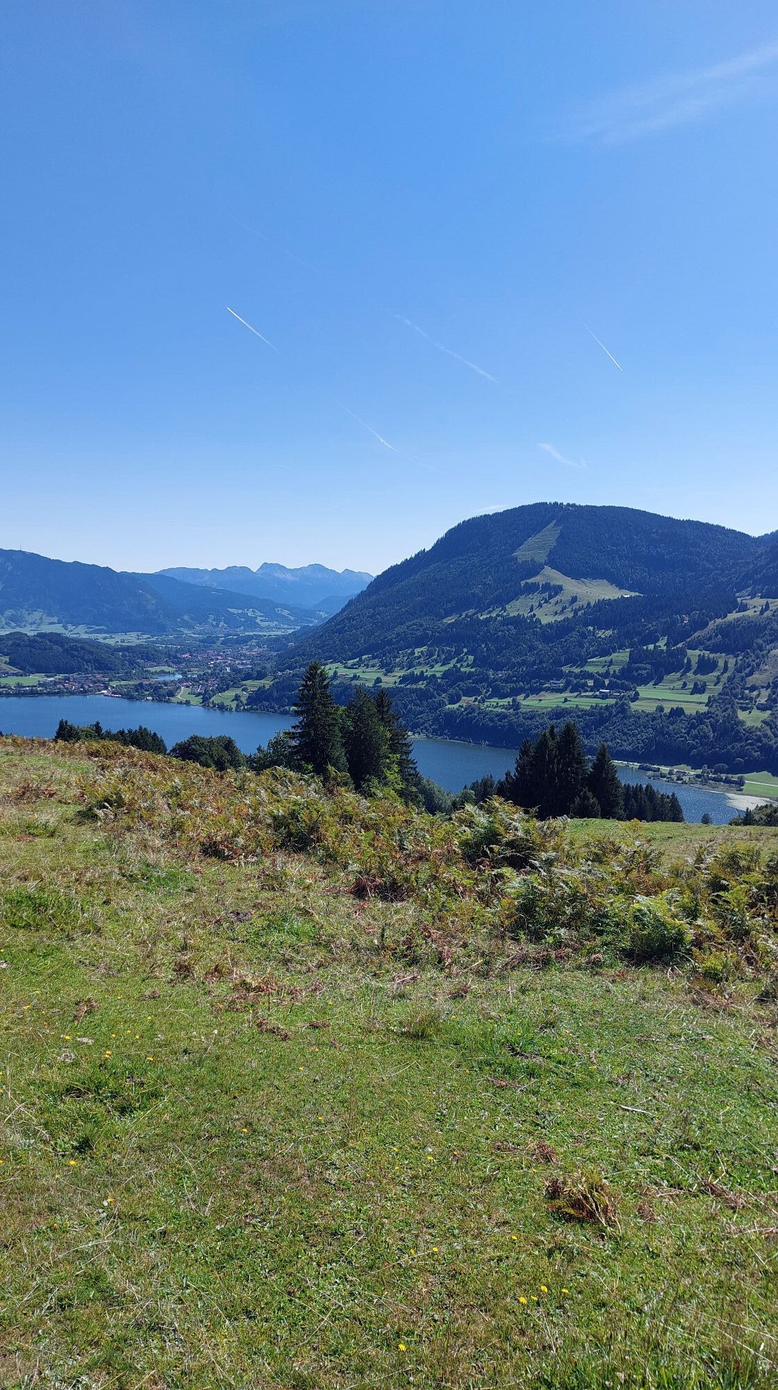
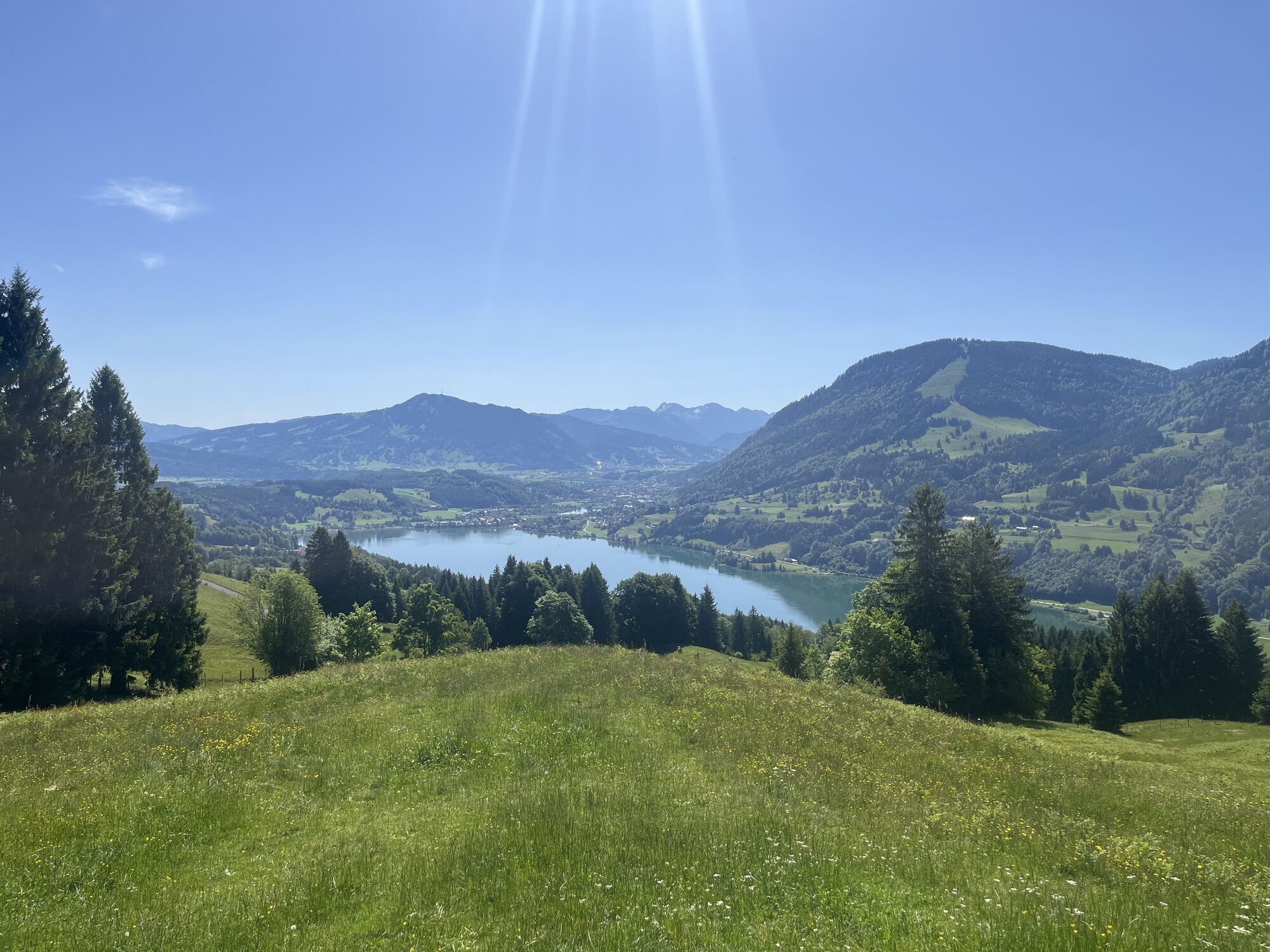
300 meters below you lies the Großer Alpsee—the largest natural lake in the Allgäu. To the east you can see the Hindelang mountains and to the west the Swiss Alps and the Alpstein. The Großer Alpsee is also the valley floor of your mountain bike tour. You take the short spur from the viewpoint back to the route and turn left downhill towards Ratholz. From there, you descend over the initially gravel alpine path to Hohenschwandalpe and then on asphalt down to the Konstanzer valley. At the bottom, you reach Ratholz and are on the well-known Bodensee-Königssee cycle route along the Großer Alpsee. On this path, you roll leisurely back to the Nagelfluhkette Nature Park Center.
Note: This route leads over many alpine-managed sections. To avoid pasture gates and cow fences, we especially recommend this route in spring and autumn. The 100 days of alpine summer require more arm strength, as you will have to lift your MTB more often!
Tak
Adequate fitness
Suitable clothing (depending on the weather)
Enough to drink and eat
Sun protection
Bicycle pump
Bicycle lock
Places to stop: Siedelalpe, Pfarralpe
Charging station at the Nagelfluhkette Nature Park Center
Kamery internetowe z trasy
-
Oberstaufen
-
Segelclub Alpsee
-
Oberstaufen
-
Mittaggipfel
-
Thaler Höhe
-
Petersthal am Rottachsee
-
Petersthal am Rottachsee
-
Oberstaufen - Rosenalp
-
Hündlebahn Bergstation
-
Thaler Höhe
-
Oberwilhams
-
Oberstaufen
-
Oberwilhams
-
Missen-Börlas
-
Ortsansicht Missen
-
Alpsee Bergwelt
-
Alpsee Bergwelt
-
Alpsee Bergwelt - Bärenfalle
Uzyskaj wgląd
Zawsze na żywo z ponad 9 500 kamer internetowych. bergfex Jako użytkownik Pro, możesz teraz zobaczyć odpowiednie kamery internetowe dla wielu wycieczek w aplikacji wycieczki od. Pozwala to na bezpośredni podgląd aktualnych warunków.
Popularne wycieczki w okolicy
-
4,7
Steibis - Buchenegger Waterfalls
średniWędrówka 6,47 km -
4,8
Rindalphorn und Hochgrat
średniWędrówka 15,6 km -
5,0
Nagelfluh ridge route Hochgrat - Mittag
ciężkiWędrówka 14,0 km -
4,9
Immenstädter Horn
światłoWędrówka 9,35 km -
4,4
Immenstädter Horn - Gschwender Horn
światłoWędrówka 10 km -
5,0
Siedelalpe Runde von See - Immenstadt
światłoWędrówka 10,3 km -
3,7
Rundtour Mittag
światłoWędrówka 15,7 km -
4,5
Circular route Hündle to the Buchenegger Waterfalls
średniWędrówka 9,69 km -
4,4
Circular route Steibis to Dreiländerblick
średniWędrówka 7,95 km -
3,8
Hörner Panoramatour
średniWędrówka 17,3 km
Wędrówki i tropienie


Nie przegap ofert i inspiracji na następne wakacje
Twój adres e-mail została dodana do listy mailingowej.





