


To Paradise
Poziom trudności: S1
Zdjęcia naszych użytkowników
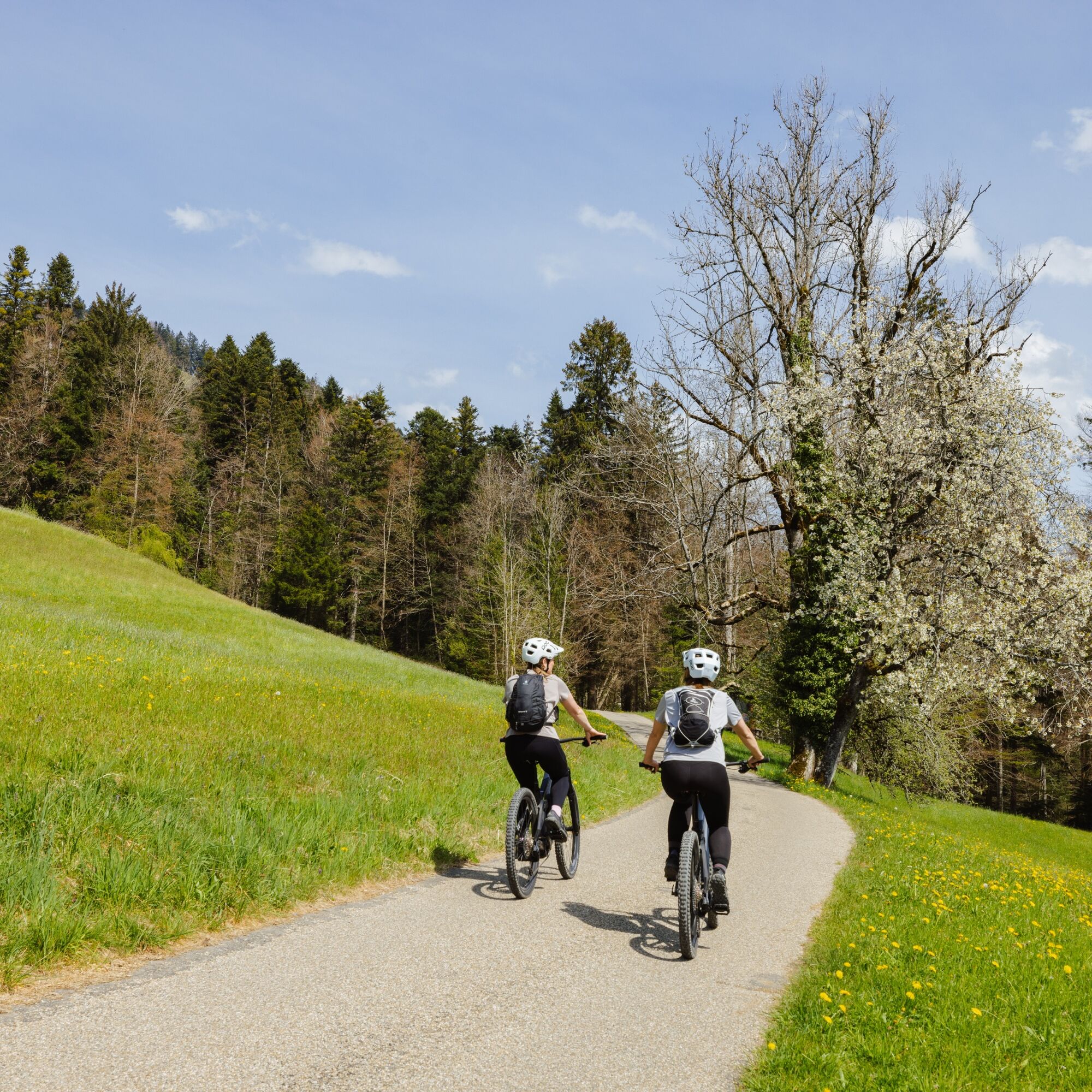
Cross Oberstaufen on the main street and under the railway bridge along Argenstraße to the junction to Sinswang. Turn left and go uphill, at the end of the village of Sinswang turn left following the signs...
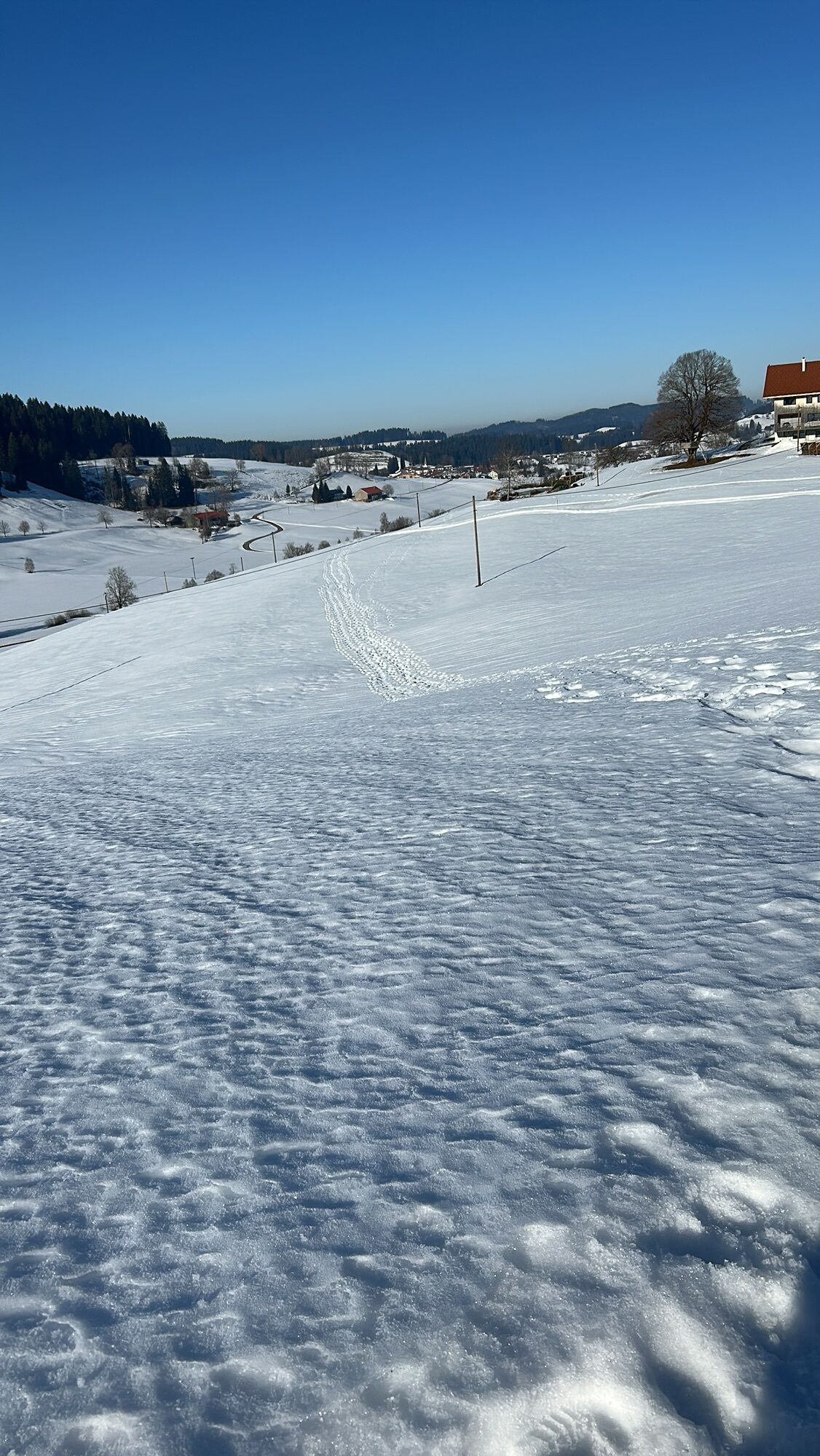
Cross Oberstaufen on the main street and under the railway bridge along Argenstraße to the junction to Sinswang. Turn left and go uphill, at the end of the village of Sinswang turn left following the signs to Saneberg. Continue to the end of the tarmac road, here turn right on gravel to the highest point in the Berg district. At the junction turn right and shortly afterwards enjoy the wonderful views far and wide. Then turn right once again and shortly afterwards take the left turn to Döbilisried and go through the underpass of the federal road. Follow the small road and continue after the last house on the forest path. There follows a meadow trail, which is equipped with several gates during the grazing season. After the descent across the meadow, turn left onto the gravel path and roll down to Eibele.
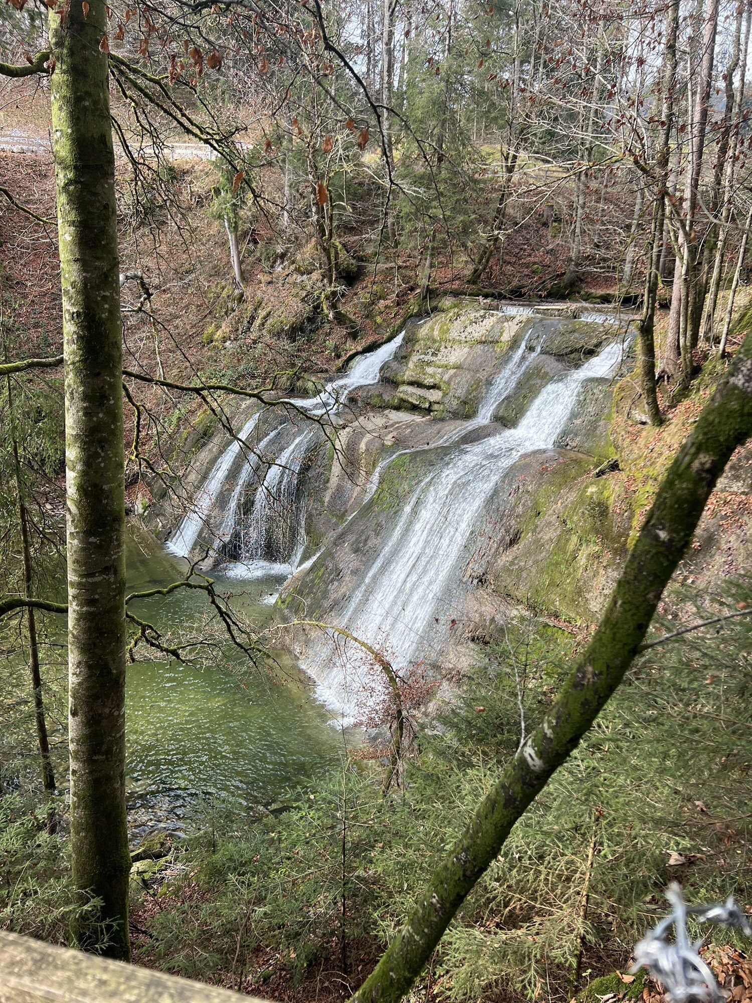
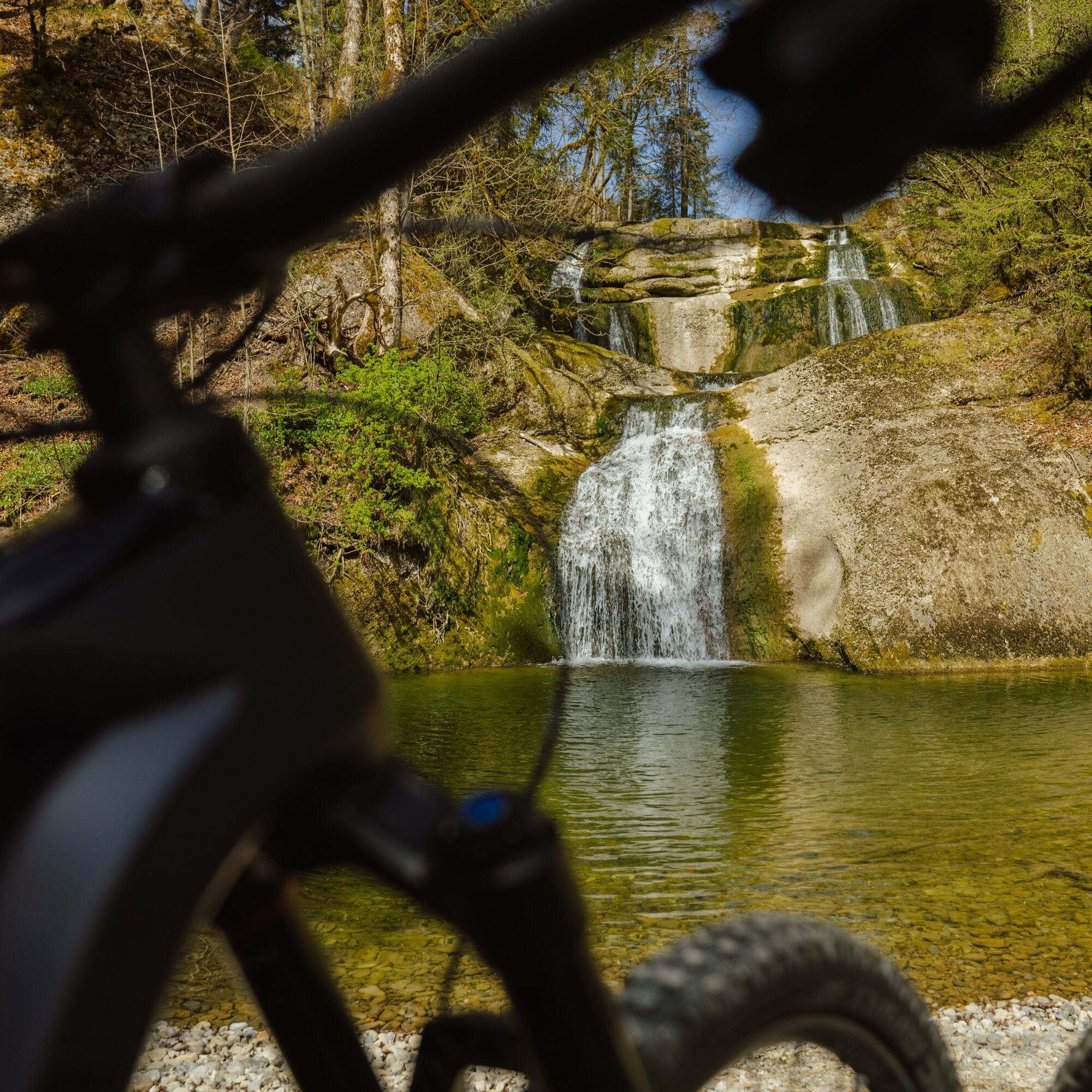
Above the village you can already hear the roar of the rushing water and if you want, make a stop at the waterfalls - after you have arrived below and crossed the wooden bridge on the right. Along the left of the street you reach the end of the village of Eibele and come to the Weißach reservoir. Turn left before the dam and leisurely follow the Weißach along gently rolling terrain to the district of the same name.
Opposite the Weißach mill, take the Sennereiweg onto a forest path that leads further to Bad Rain. There, pedal hard one more time, past the Rainwald forest, and back to the starting point at the train station.

Oberstaufen train station - Sinswang - Saneberg - Berg - Döbilisried - Eibele - Weißach - Bad Rain - Oberstaufen train station
During the grazing season, there are obstacles between Döbilisried and Eibele.
Car park at Oberstaufen train station.
S1
On S1 trails, you have to roll over small obstacles like shallow roots, small stones, and water channels. The gradient is up to 40%. Basic riding skills such as controlled braking and body shifting are required.
Note: The route is not explicitly signposted; GPX data is available for navigation.
The Eibele waterfalls right on the path.
Kamery internetowe z trasy
-
Hochlitten Riefensberg / Bregenzerwald
-
Oberstaufen
-
Skilifte Sinswang
-
Oberstaufen - Biohotel Schratt
-
Oberstaufen - Biohotel Schratt
-
Nordic Sport Park Sulzberg
-
Oberstaufen
-
Sulzberg
-
Sulzberg
-
Fluhexpress Berg
-
Oberstaufen
-
Oberstaufen
-
Oberstaufen
-
Oberstaufen
-
Oberstaufen
-
Fluhexpress Bergstation
-
Hündlebahn Bergstation
-
Oberstaufen
Popularne wycieczki w okolicy
-
4,4
Hittisau | Wasserwanderweg
światłoTrasa tematyczna 7 km -
4,6
Steibis - Buchenegger Waterfalls
średniWędrówka 6,47 km -
4,5
Rindalphorn und Hochgrat
średniWędrówka 15,6 km -
5,0
Nagelfluh ridge route Hochgrat - Mittag
ciężkiWędrówka 14,0 km -
Circular route Hochgrat - Falkenhütte
ciężkiWędrówka 14,2 km -
4,0
Nagelfluh-Überschreitung
ciężkiWędrówka 22,7 km -
5,0
Siedelalpe Runde von See - Immenstadt
światłoWędrówka 10,3 km -
4,3
Circular route Steibis to Dreiländerblick
średniWędrówka 7,95 km -
4,5
Circular route on the Hochgrat
średniWędrówka 4,49 km -
3,5
Rundtour Mittag
światłoWędrówka 15,7 km
Wędrówki i tropienie


Nie przegap ofert i inspiracji na następne wakacje
Twój adres e-mail została dodana do listy mailingowej.