


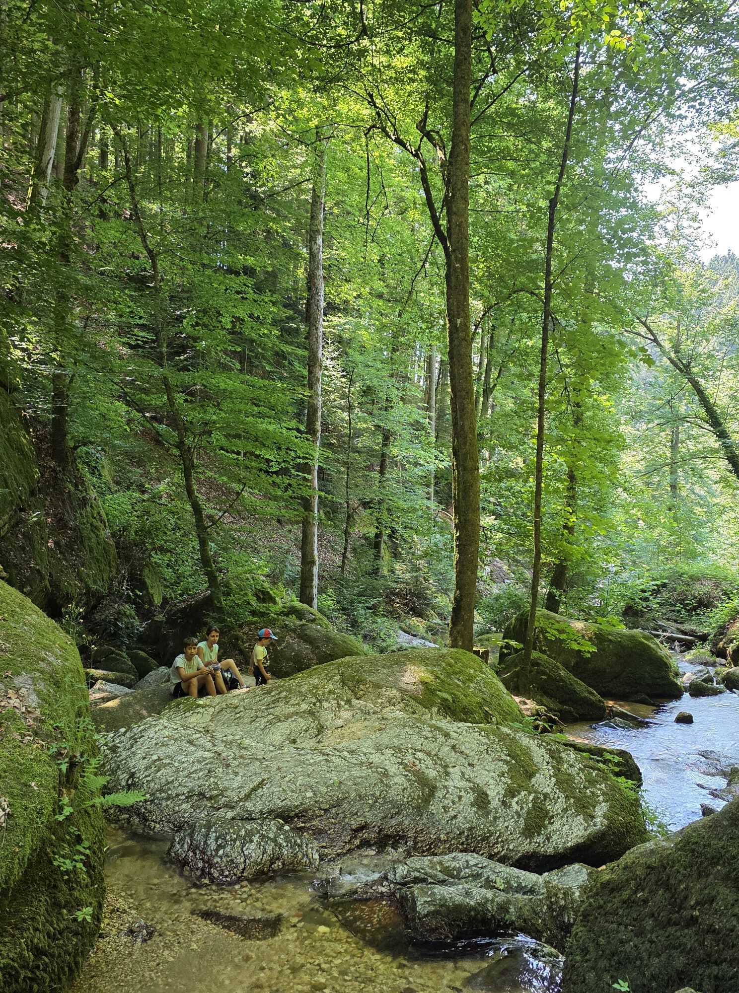
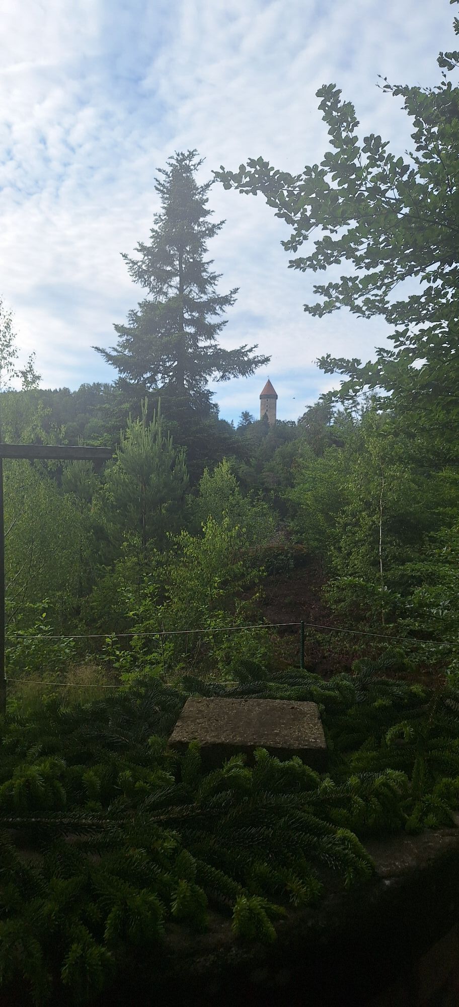
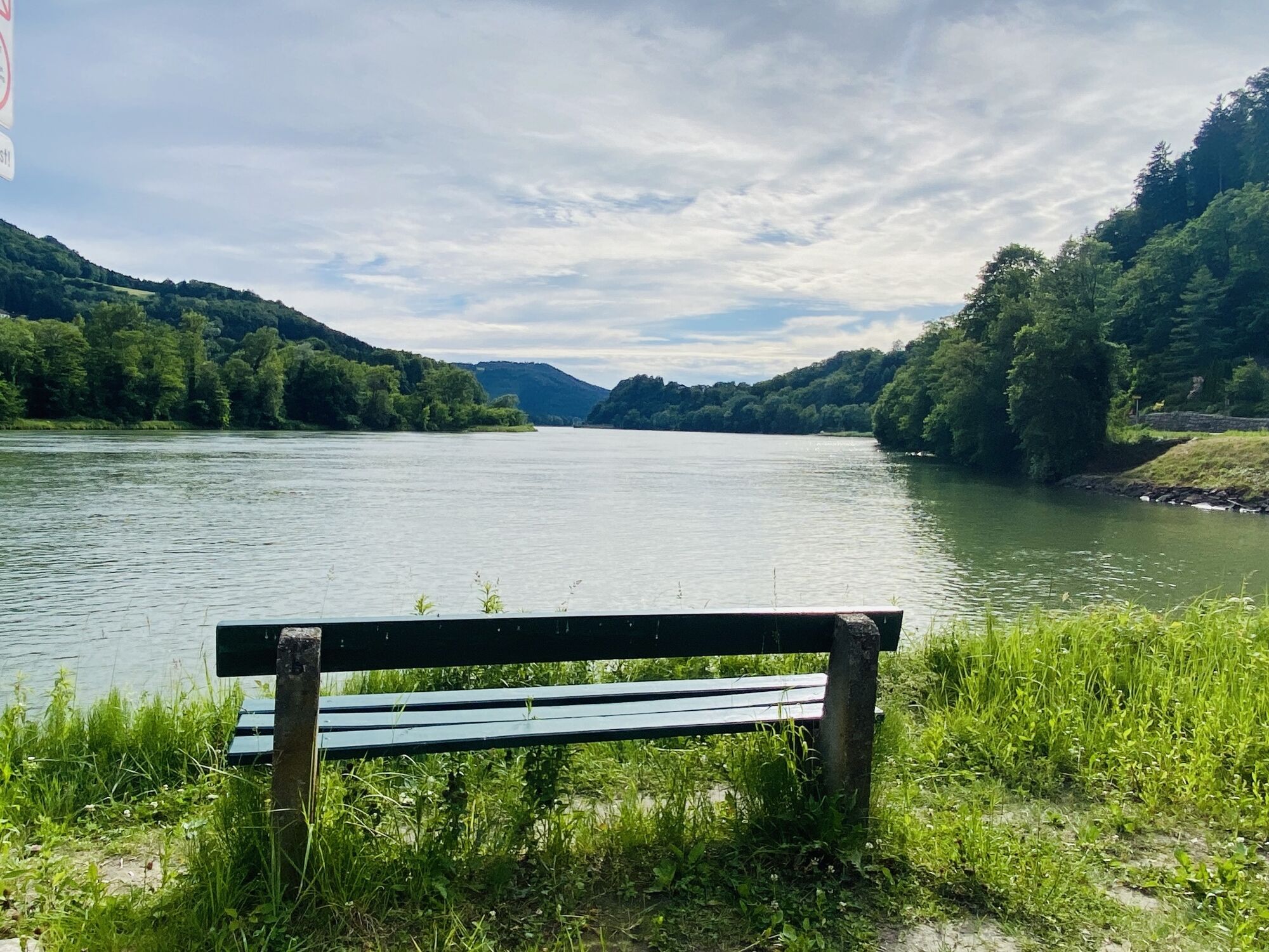
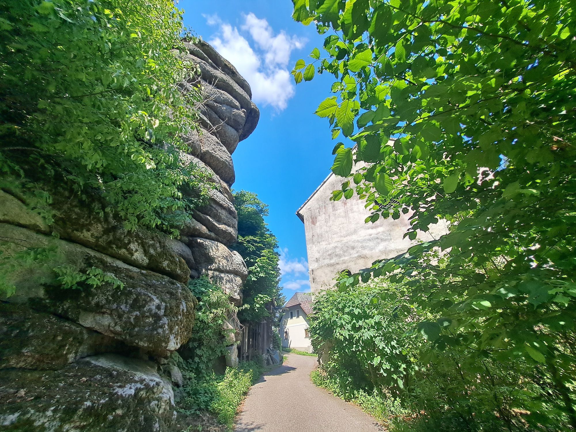
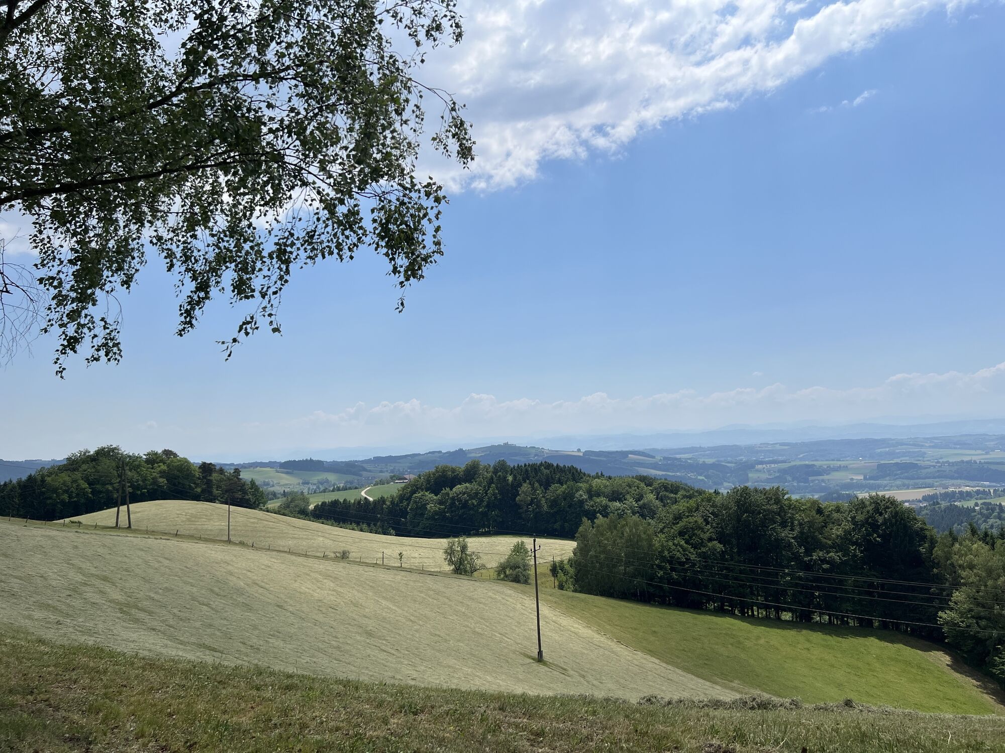
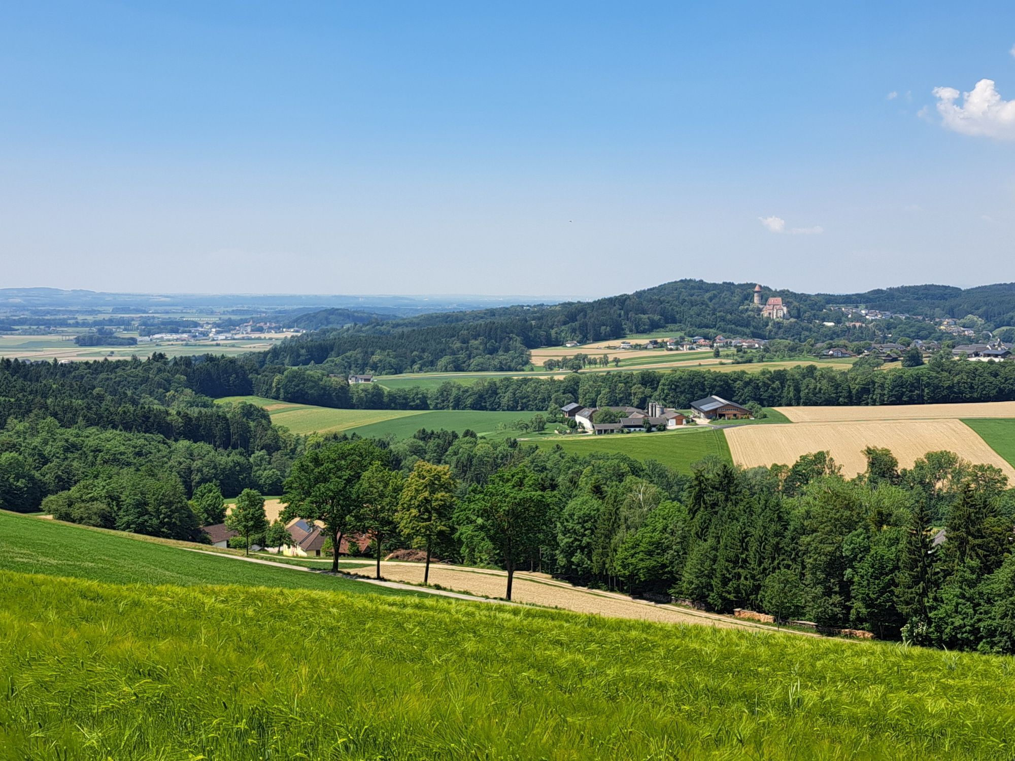
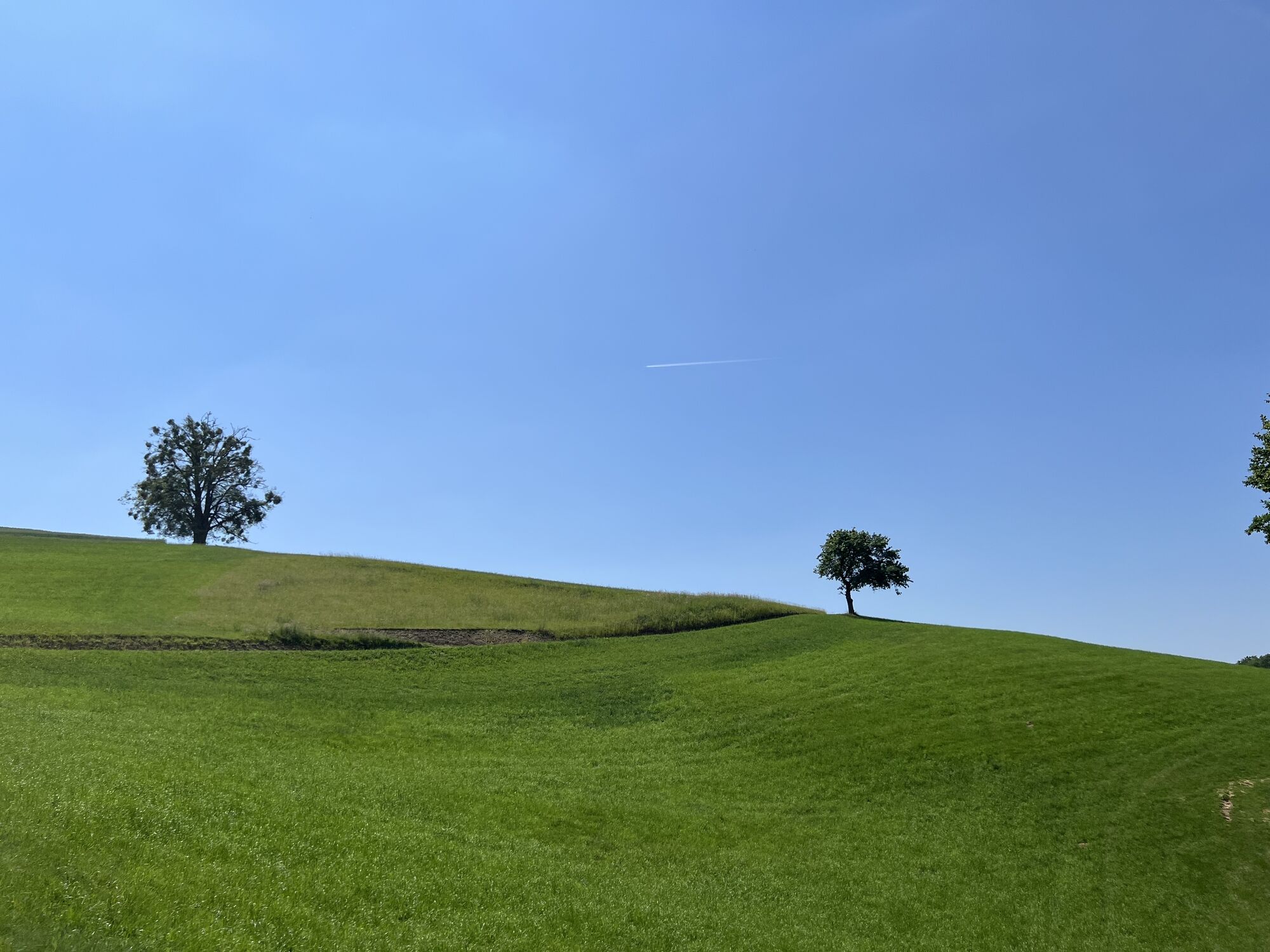
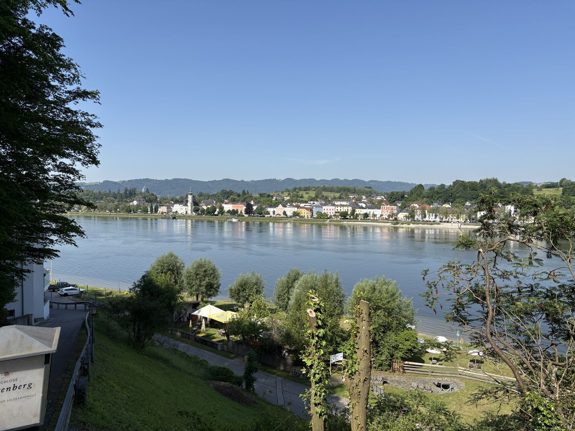
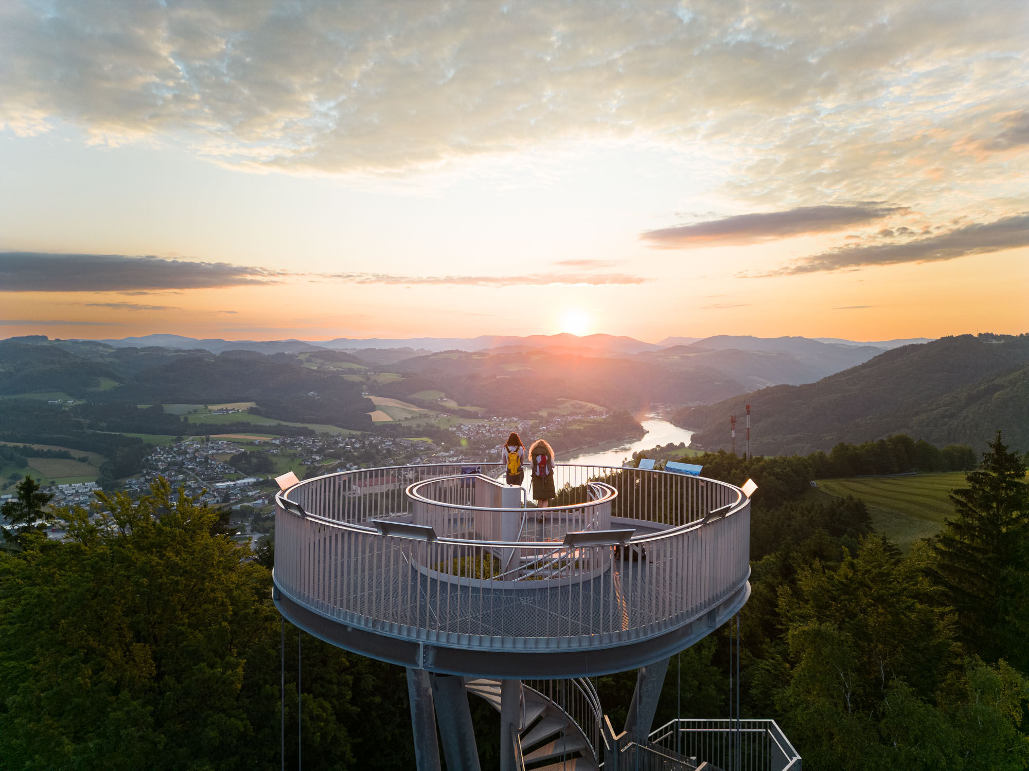
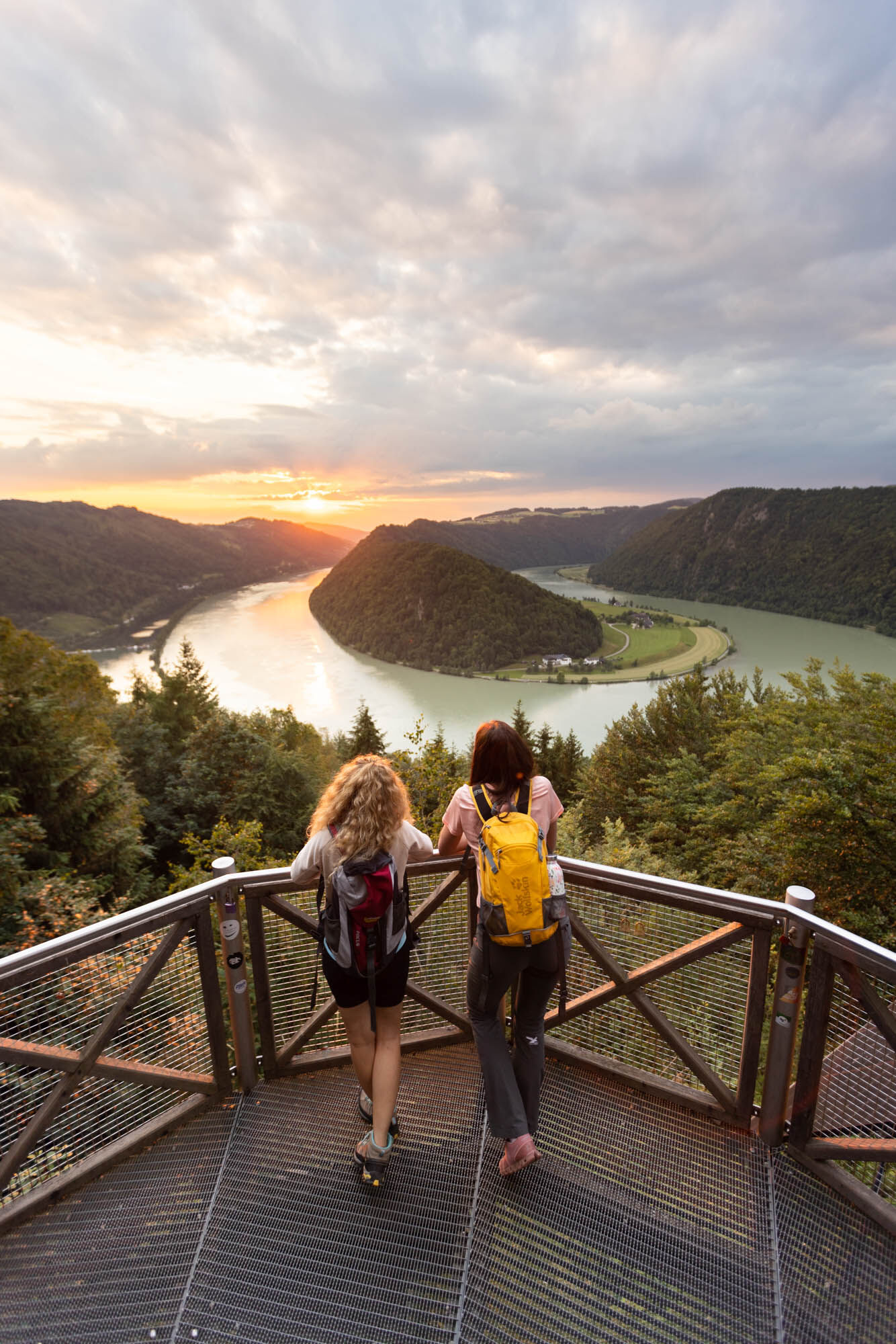
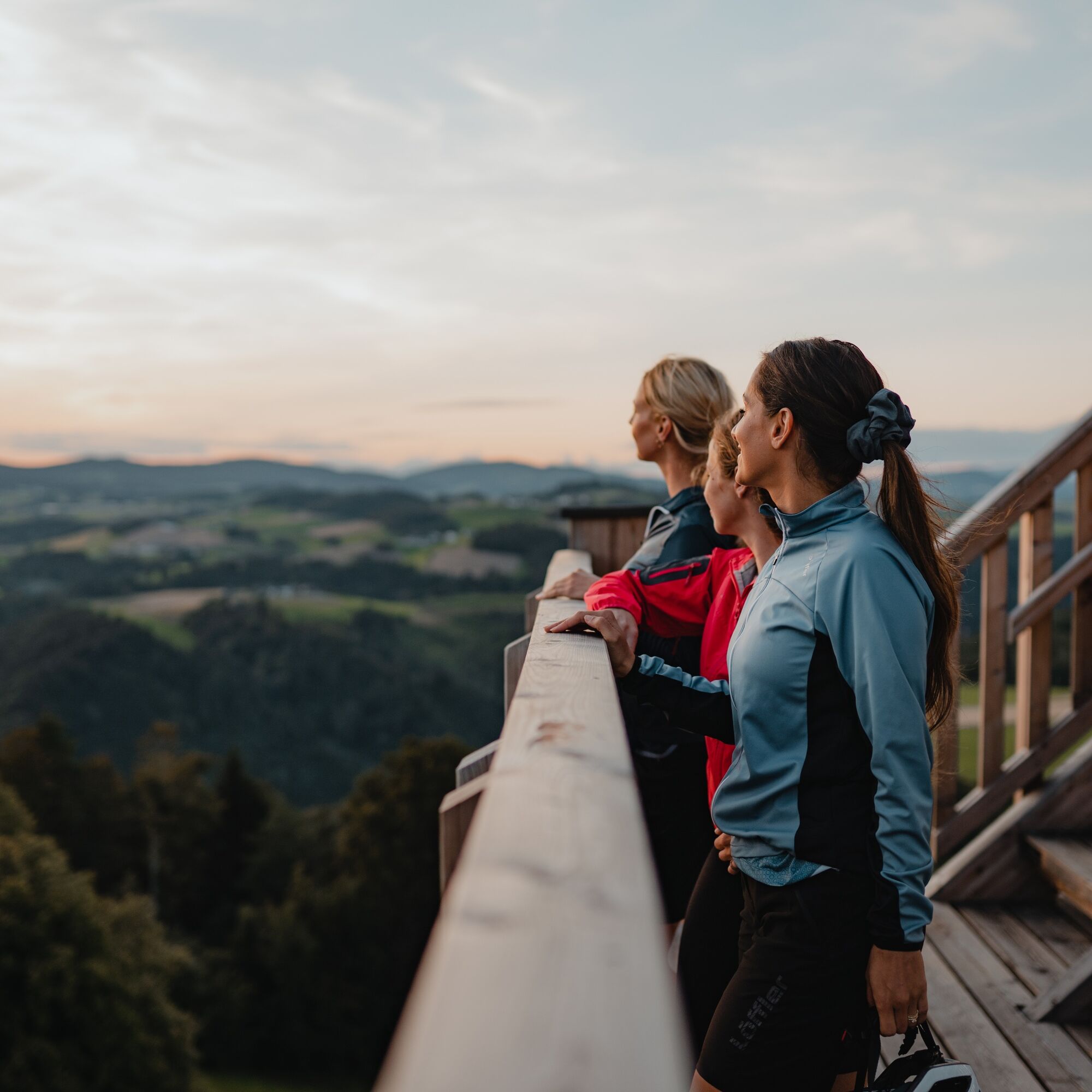
Hiking on the northern bank of the Donausteig
450 kilometers Donausteig
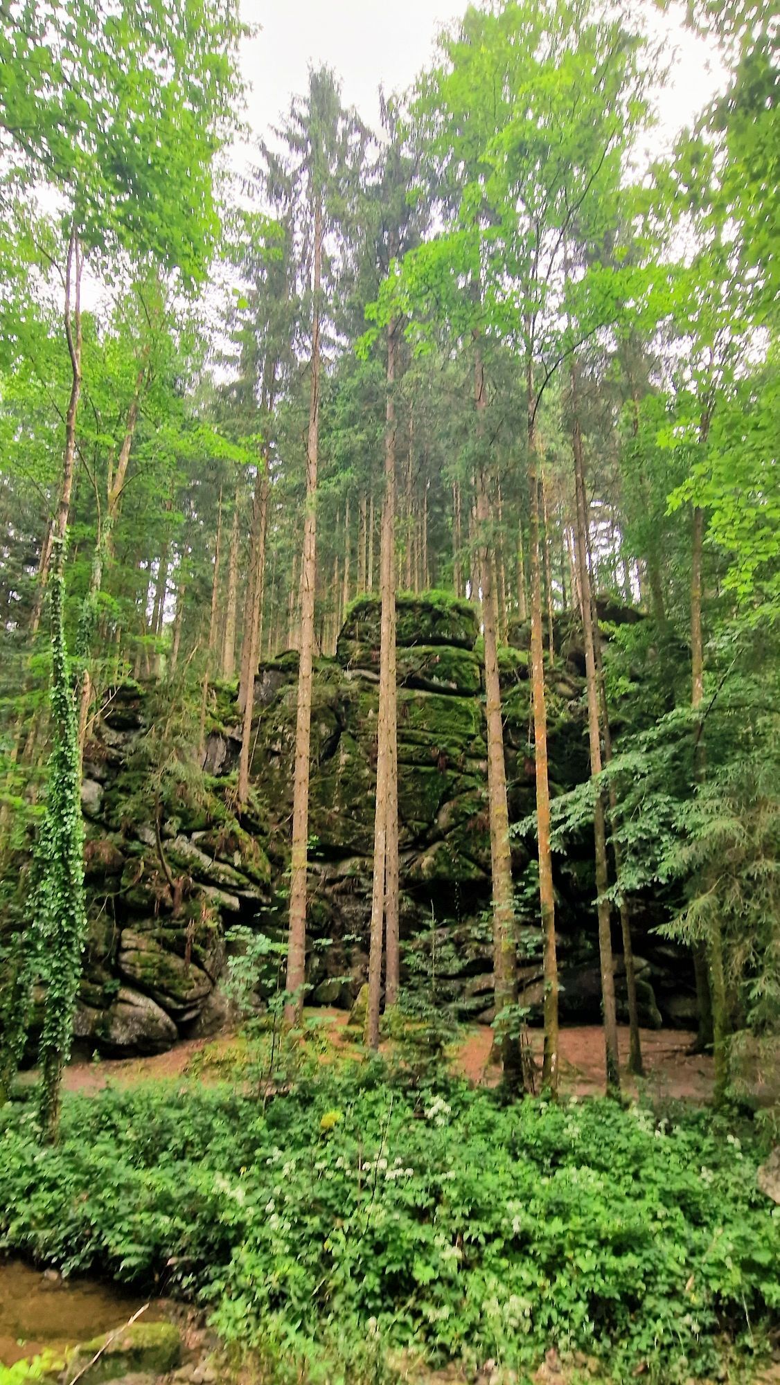
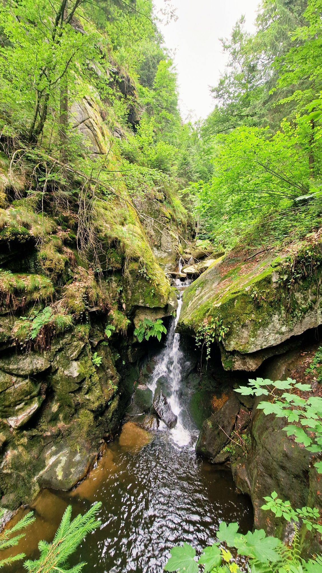
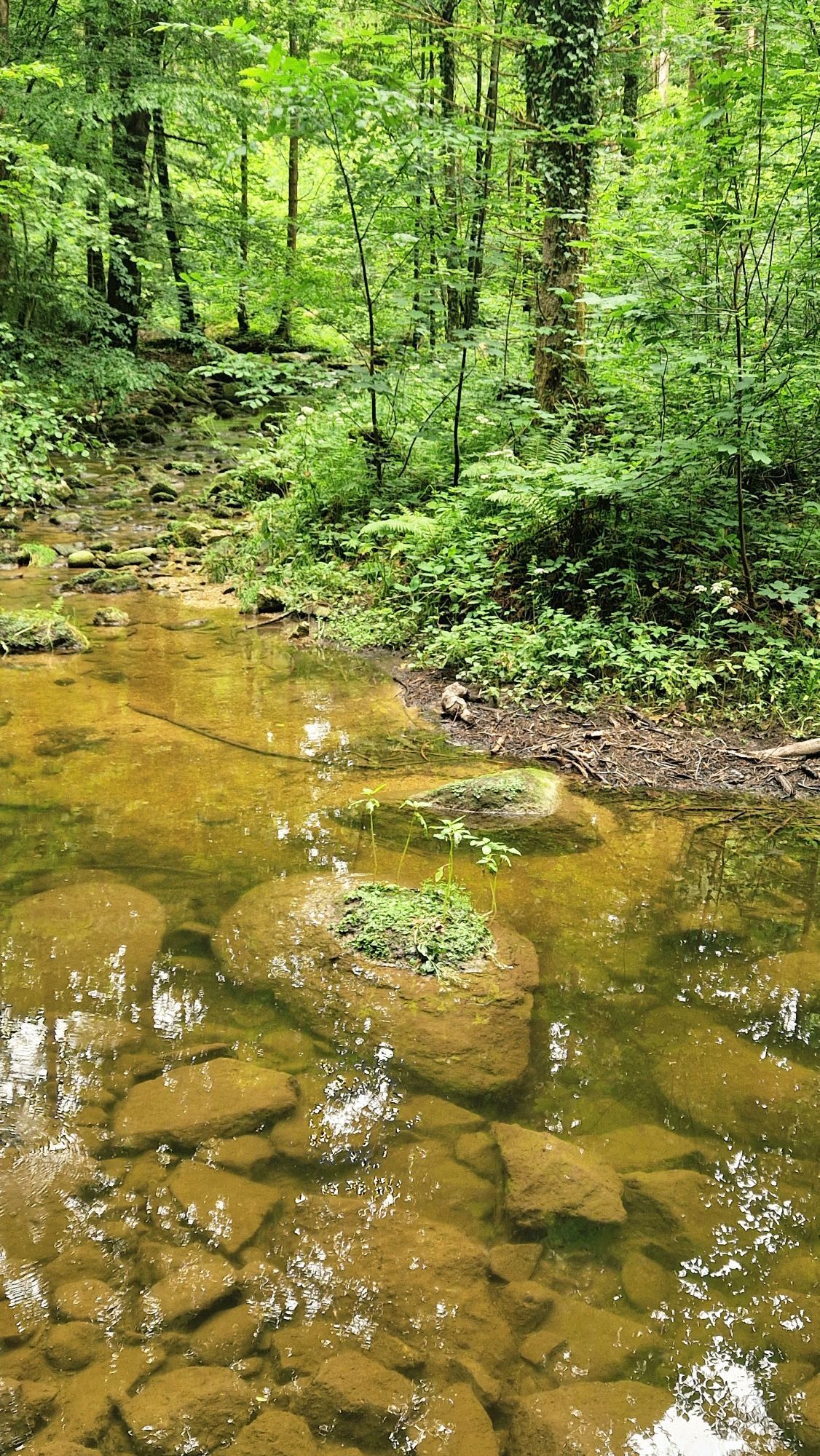
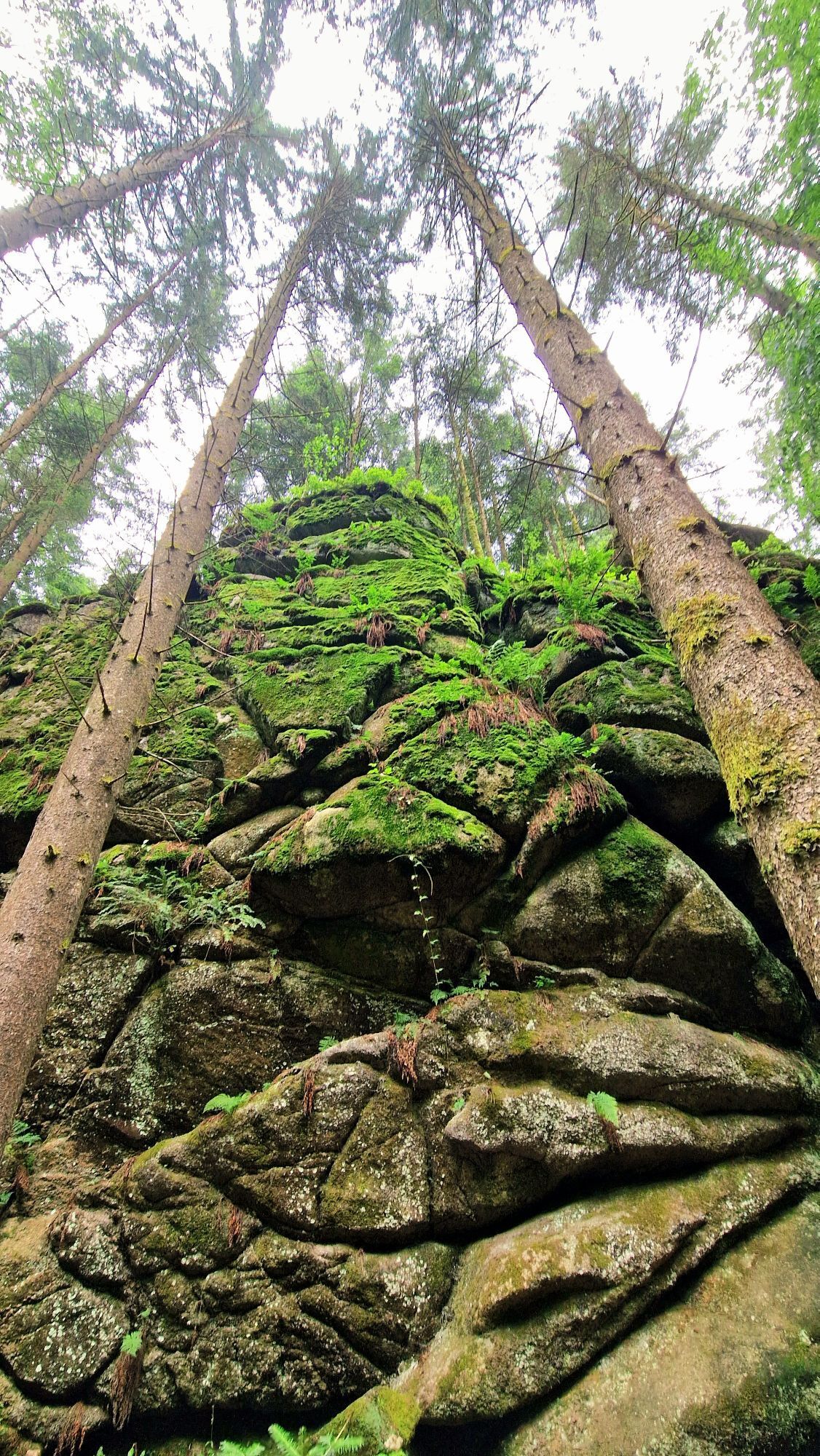
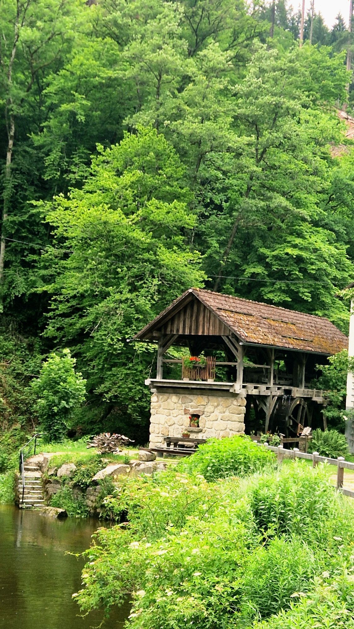
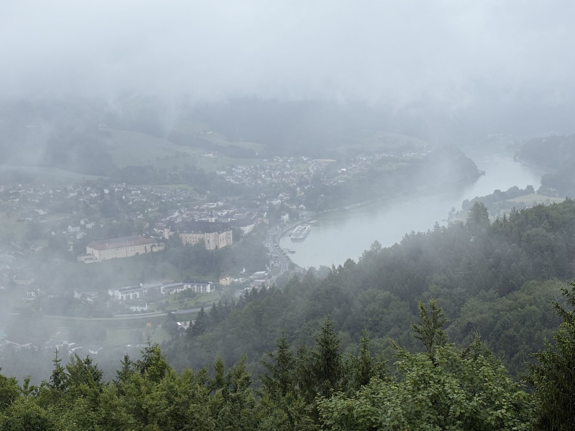
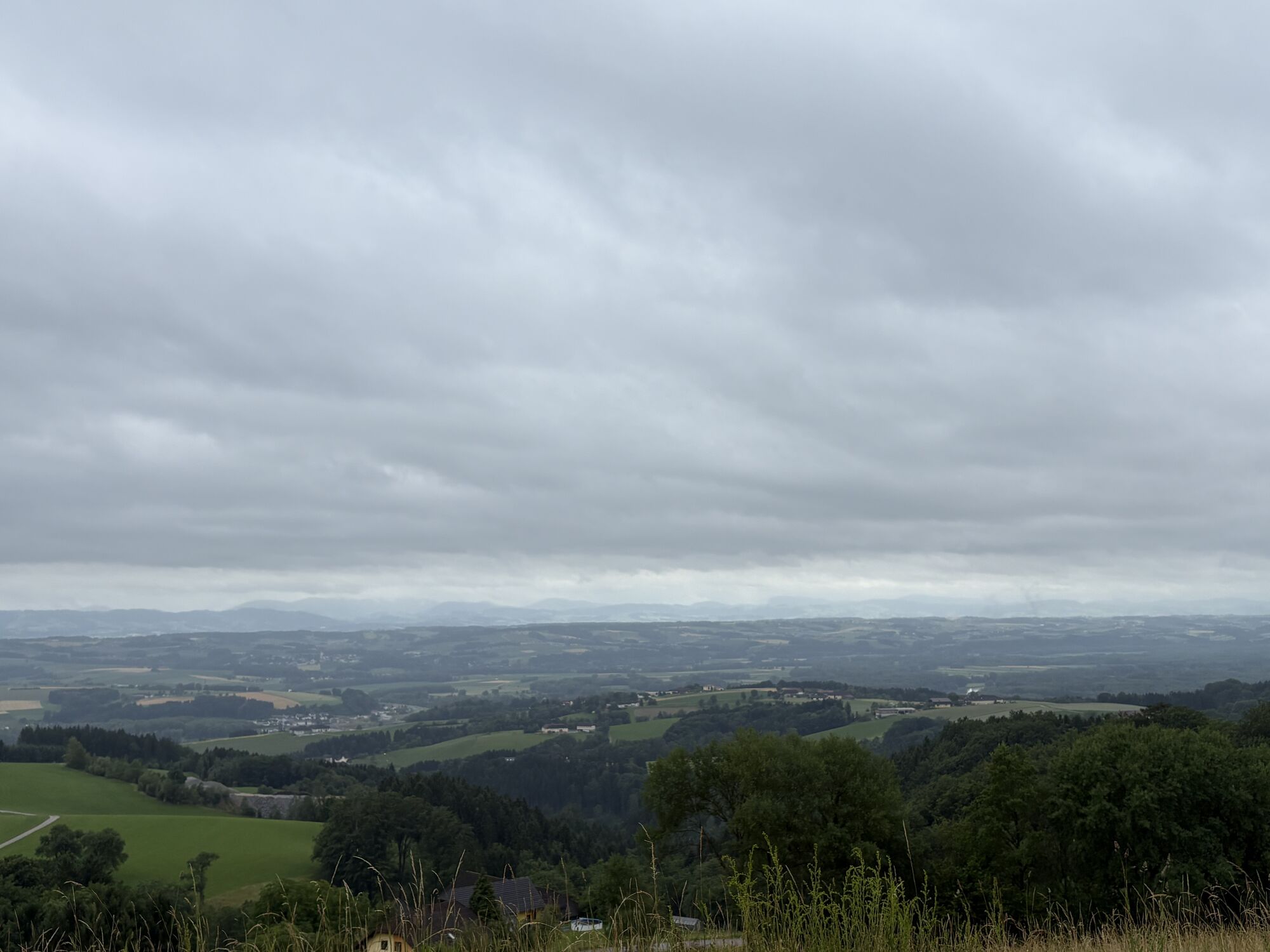
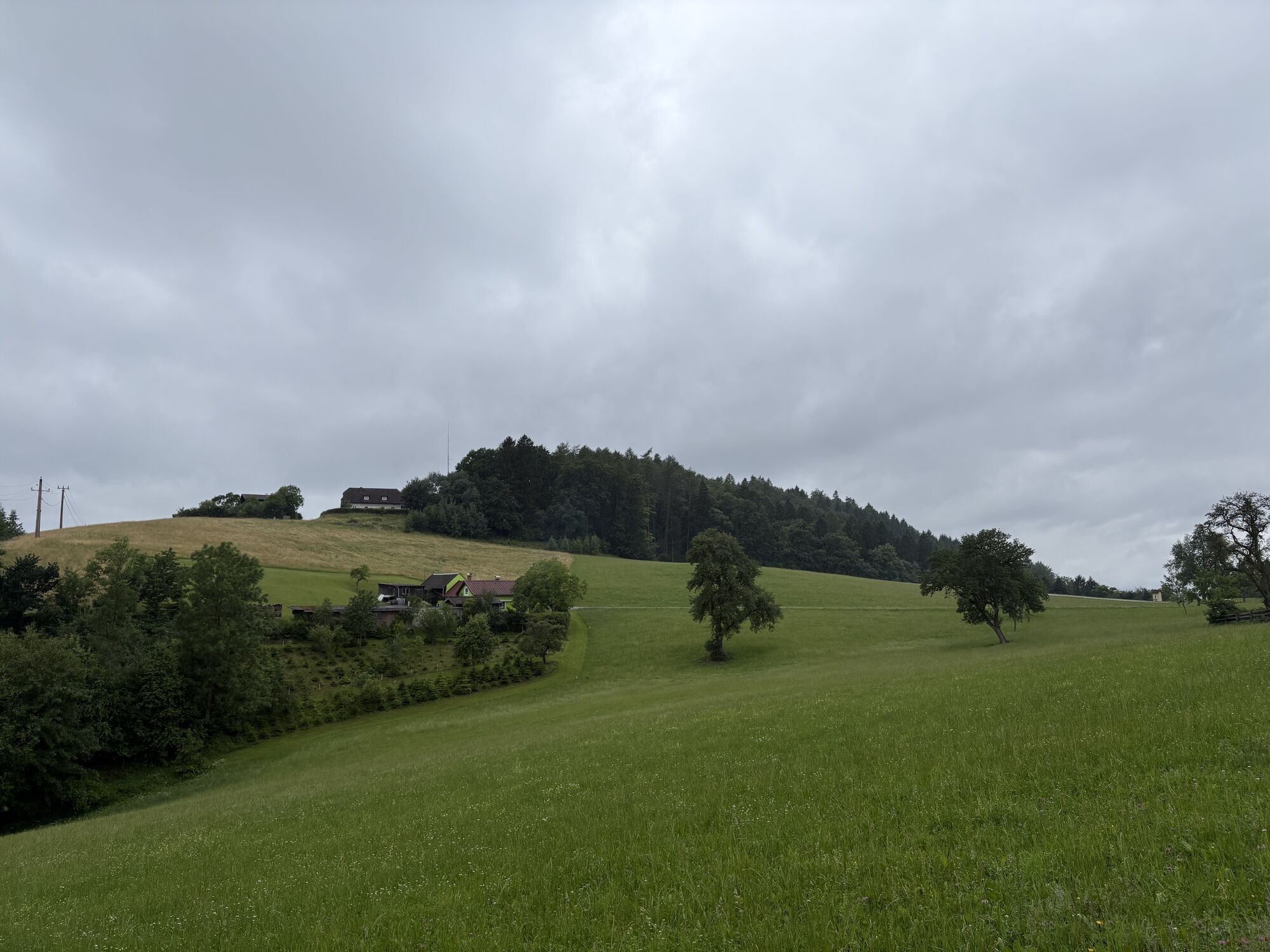
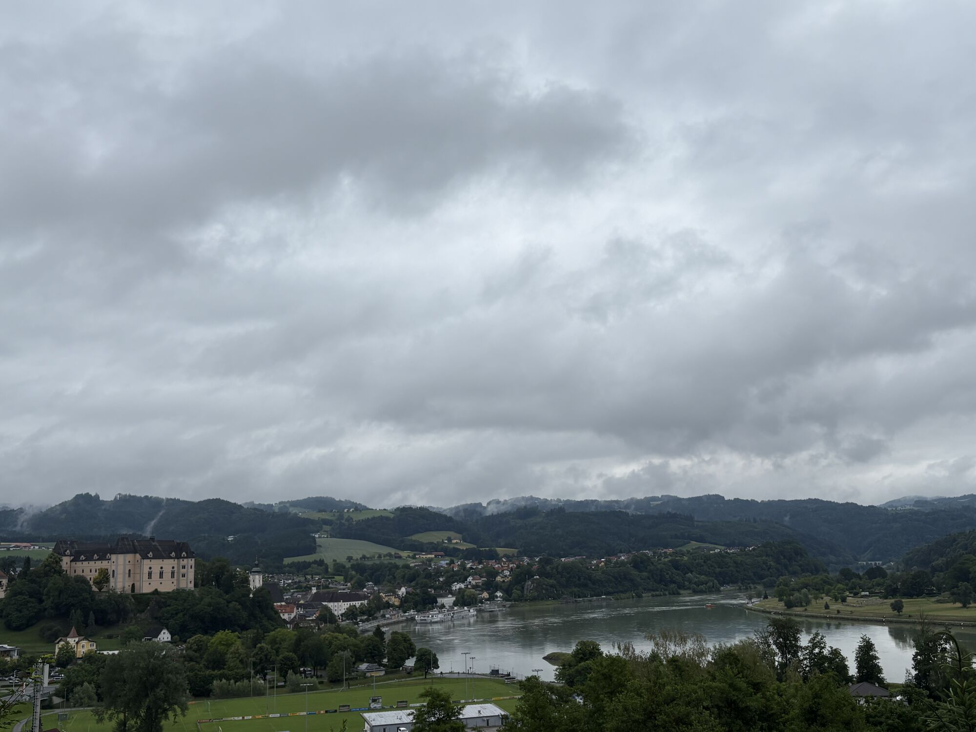
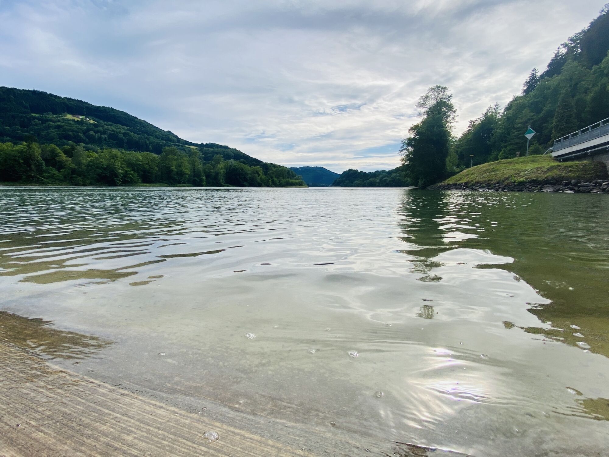
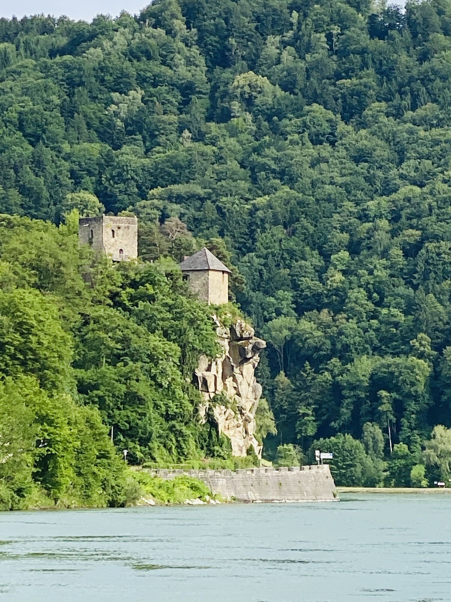
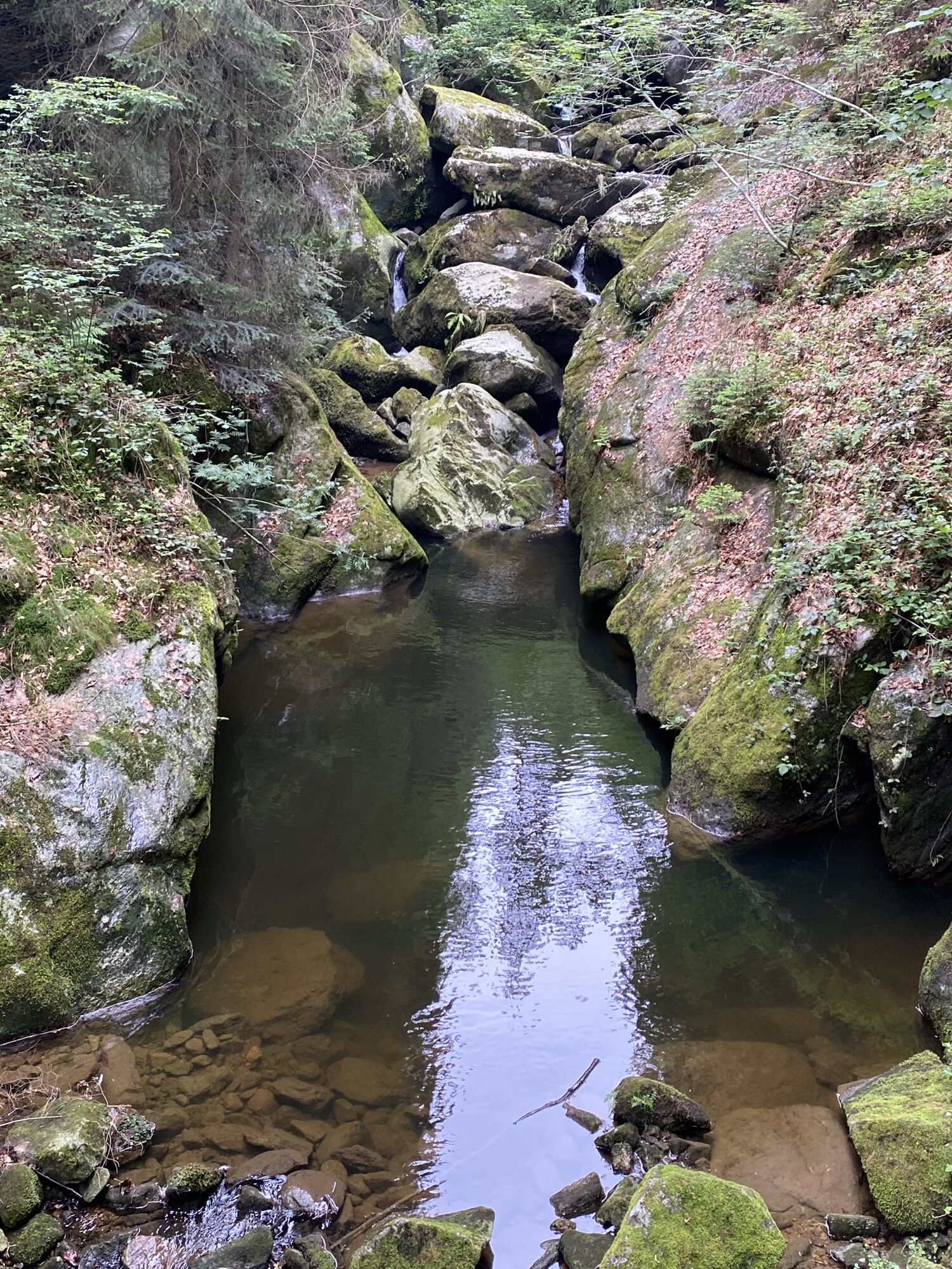
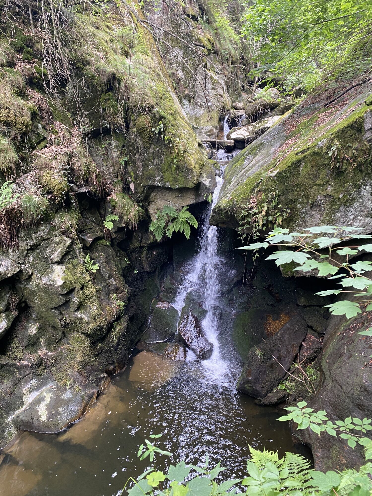
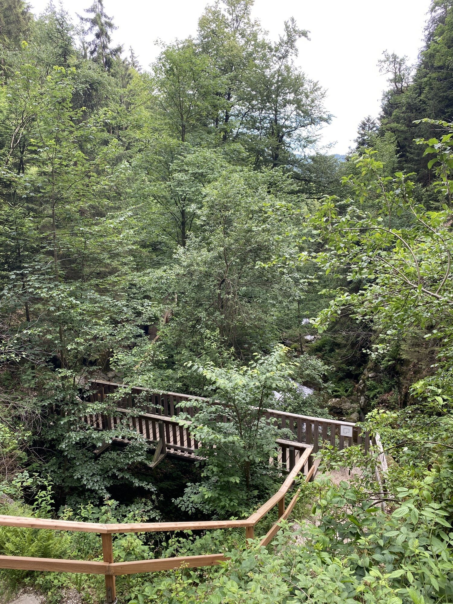
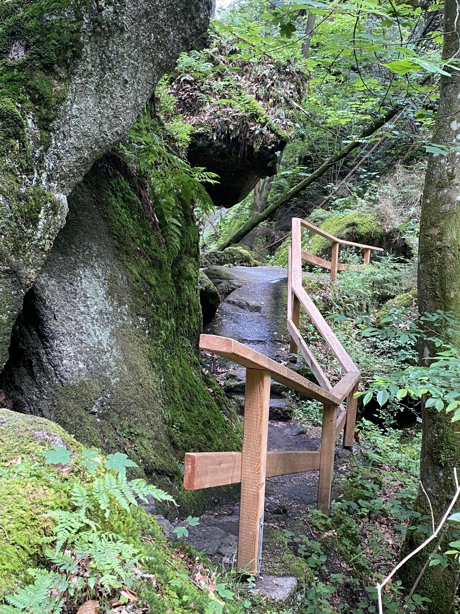
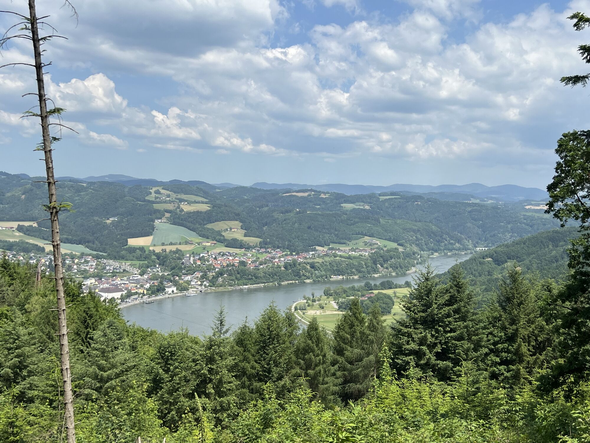
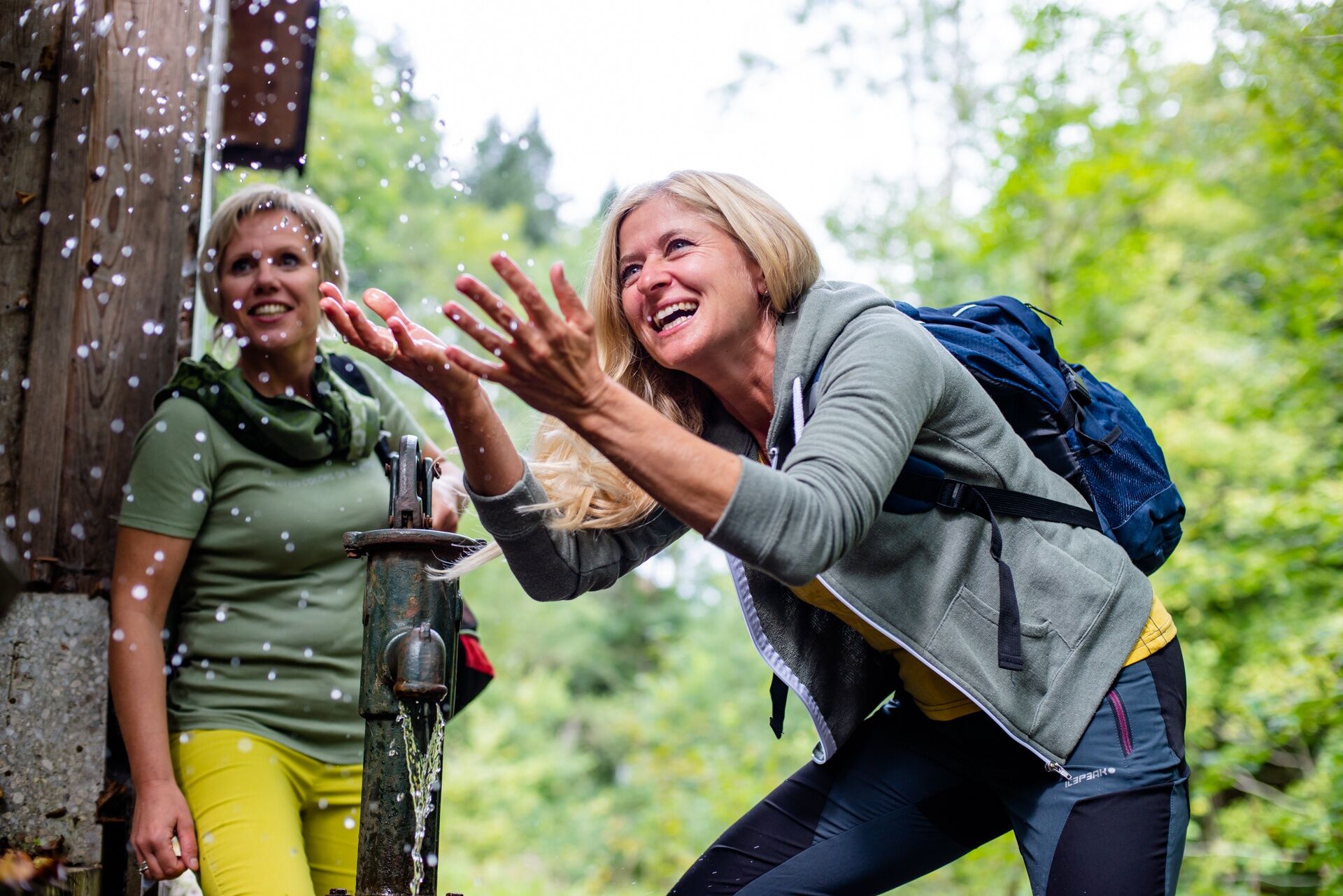
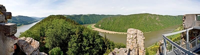
Along both banks from Passau via Linz to Grein, the Donausteig leads through diverse natural and cultural landscapes. Hikers encounter marvelous legendary figures, impressive landscapes,...
450 kilometers Donausteig
Along both banks from Passau via Linz to Grein, the Donausteig leads through diverse natural and cultural landscapes. Hikers encounter marvelous legendary figures, impressive landscapes, and unique cultural treasures on the way. It is evident - the Donausteig is simply legendary!
Divided into 2 routes:
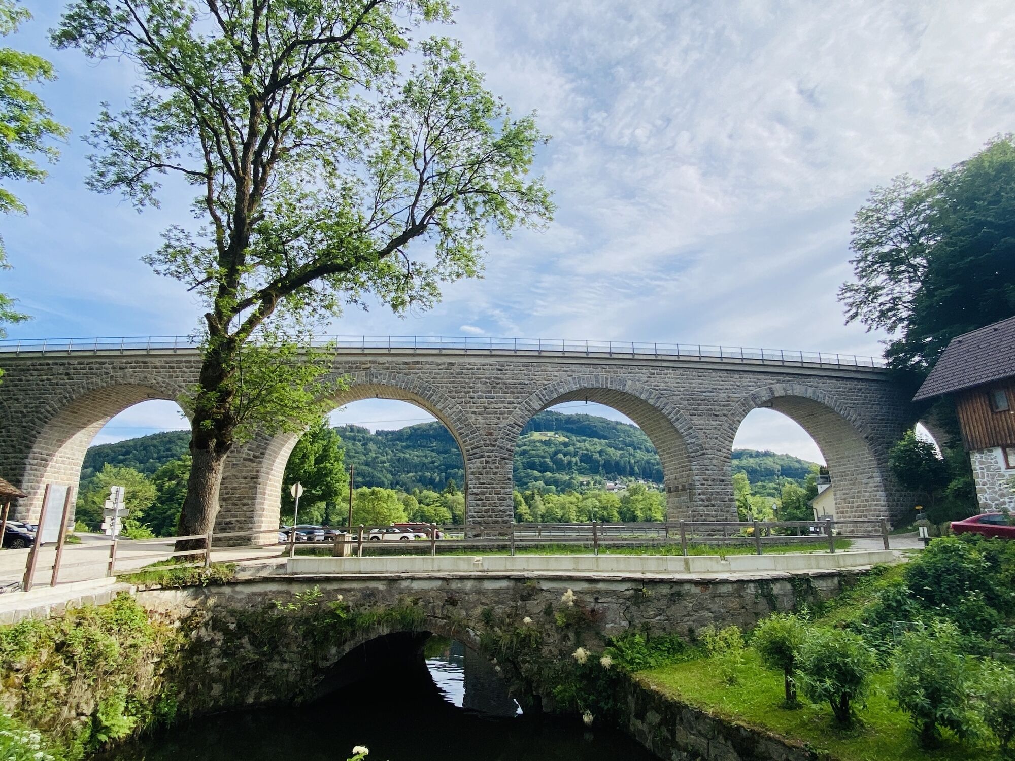
From Passau via Linz to Grein, the Donausteig leads over the North and South routes. To give a better overview of the Donausteig, it has been divided into 23 stages.
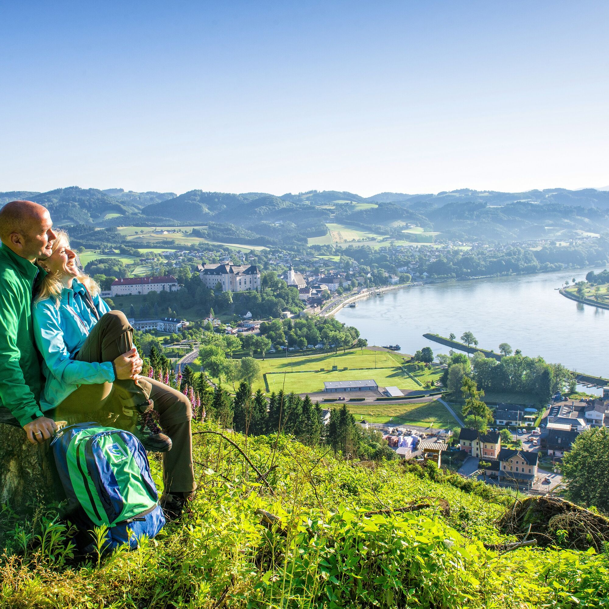
Donausteig South
49 Donausteig loops
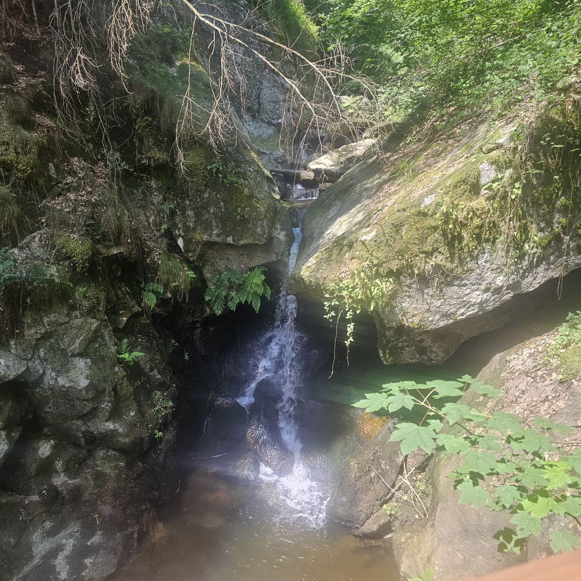
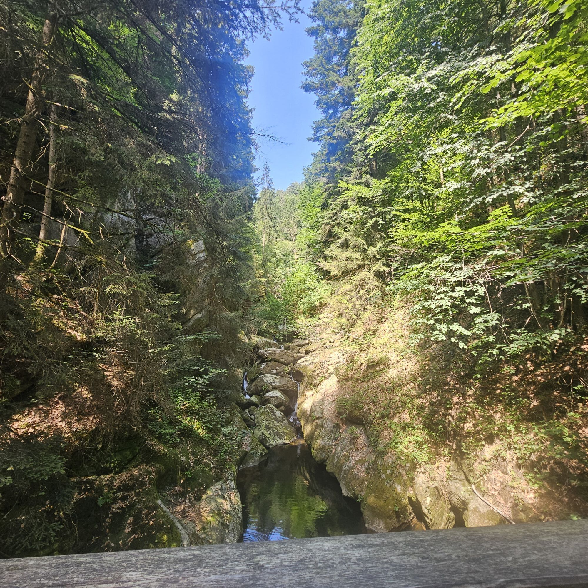
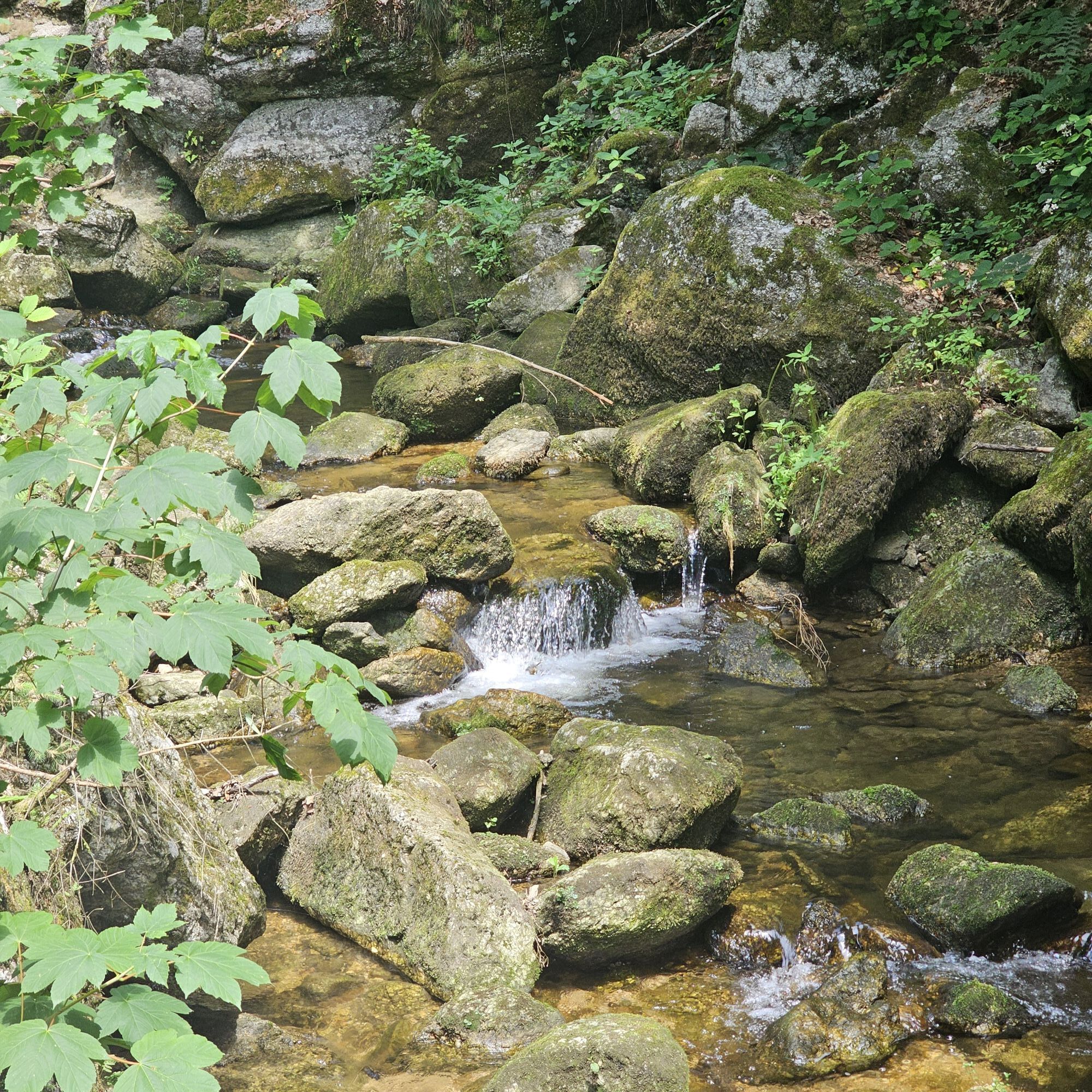
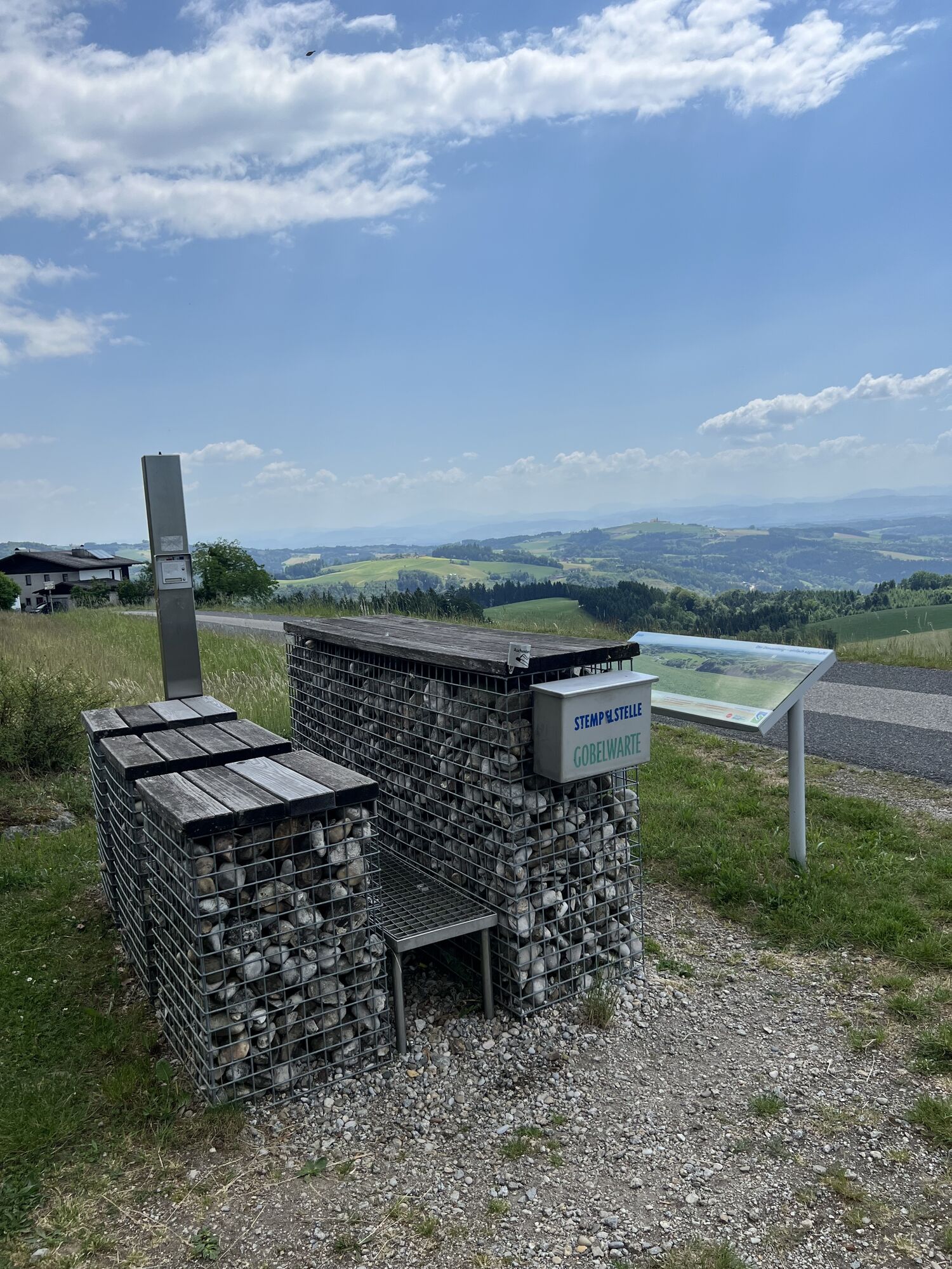
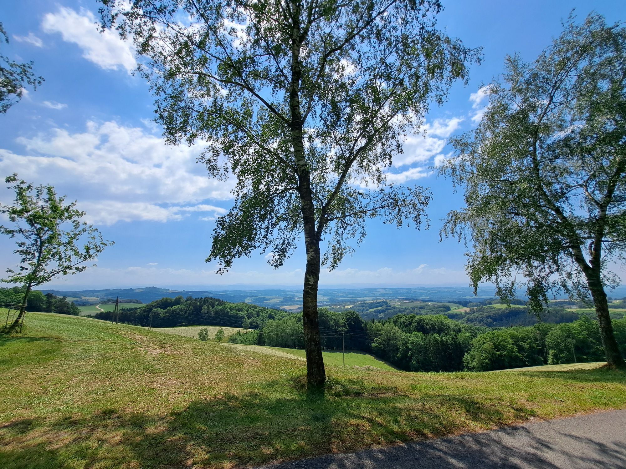
Branching off from the main route are numerous paths into the surroundings of the Danube, enabling an even more intense experience of the region. The 49 Donausteig loops are perfect for day trips, as these circular routes always return to the starting point.
Optimal integration of train, bus, andship
Excursion hikers are thus facilitated in arrival and the return to the starting point.
The Donausteig is ideal for:
Hiking in the realm of legends & art on the Donausteig:
120 Danube legends, retold by Helmut Wittmann and illustrated by Jakob Kirchmayr, are displayed on overview boards. In the open-air gallery on the Donausteig, metal sculptures by artist Miguel Horn can be admired at special places.
Donausteig hosts
Many hotels, guesthouses, and inns in the Bavarian-Upper Austrian Danube region are “Donausteig hosts.” As specialists in hiking holidays along the Donausteig, they conform to defined quality criteria.
Target group-oriented package offers
The bookable package offers are aimed at different types of hiking holidaymakers and divided into various categories so that every guest quickly finds the package adapted to their needs.
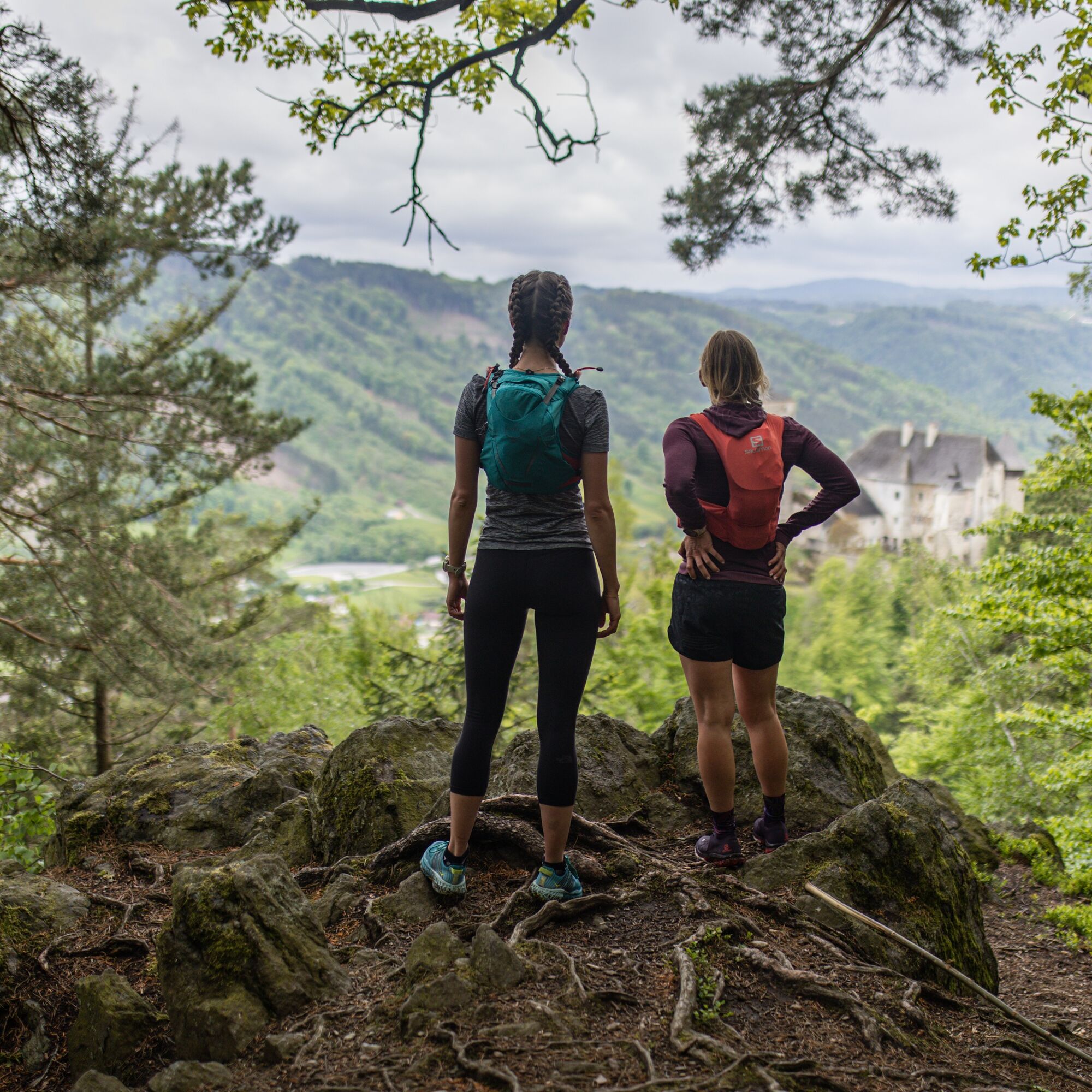
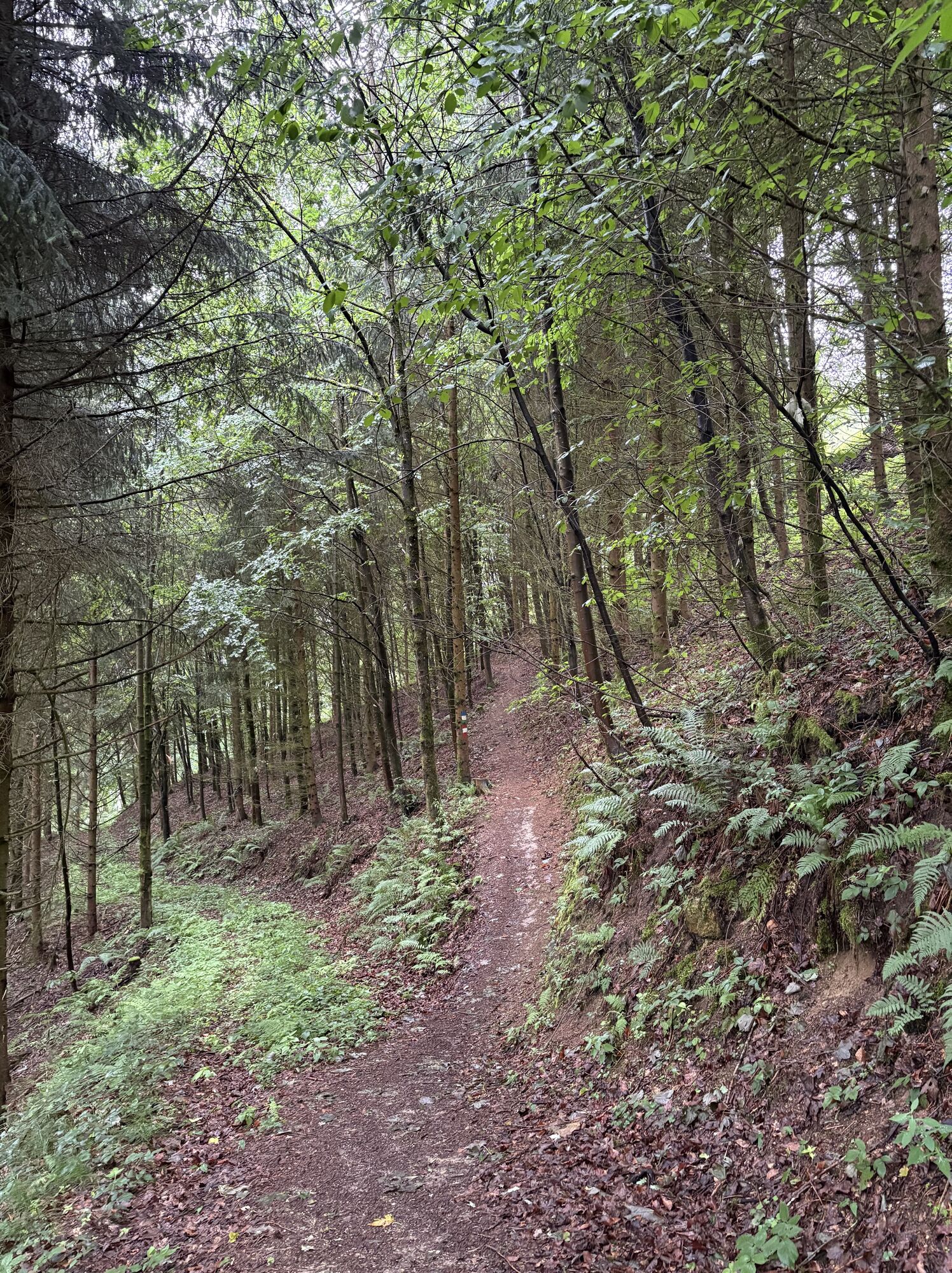
In addition to your personal hiking equipment, there are no special requirements.
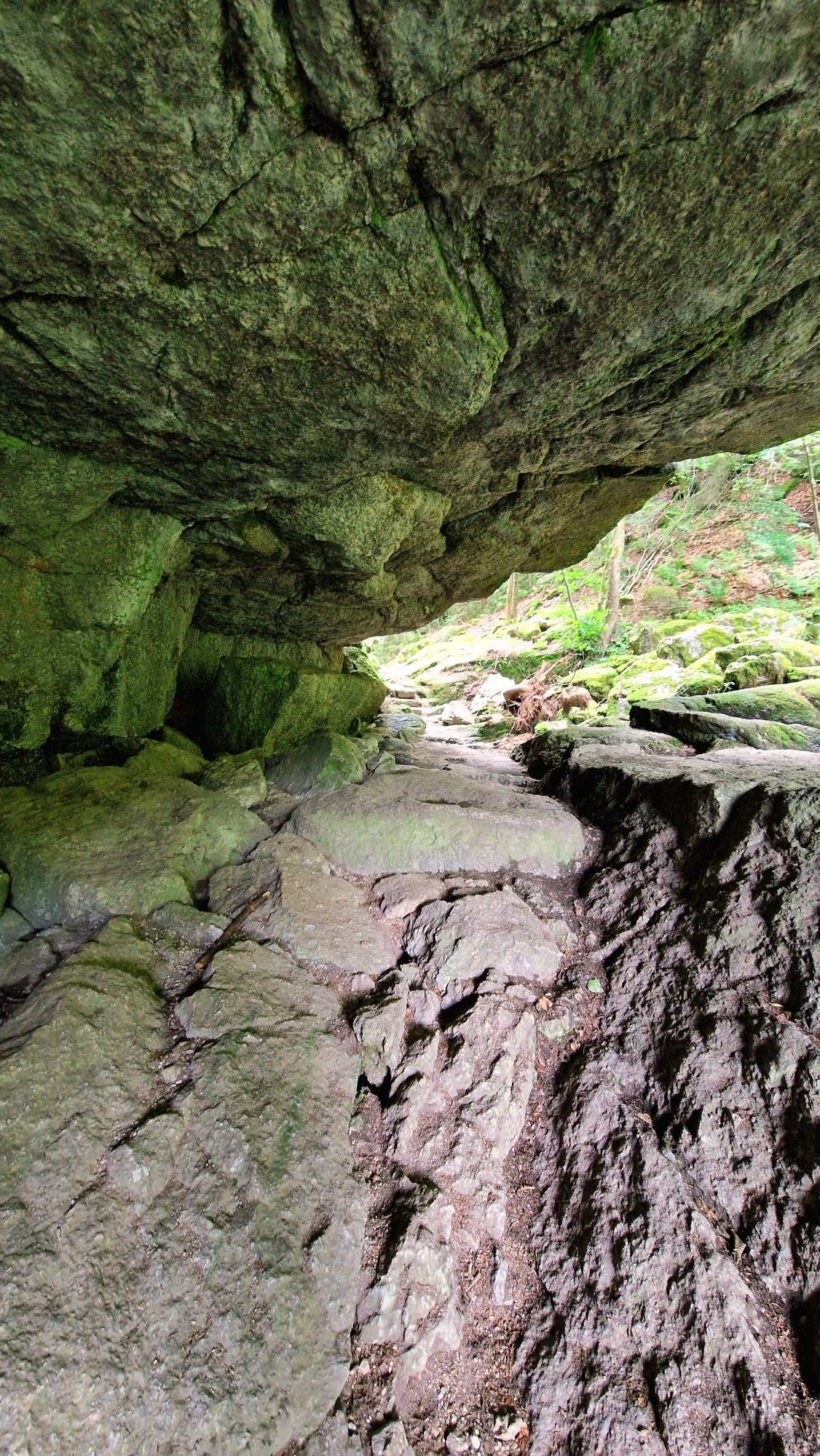
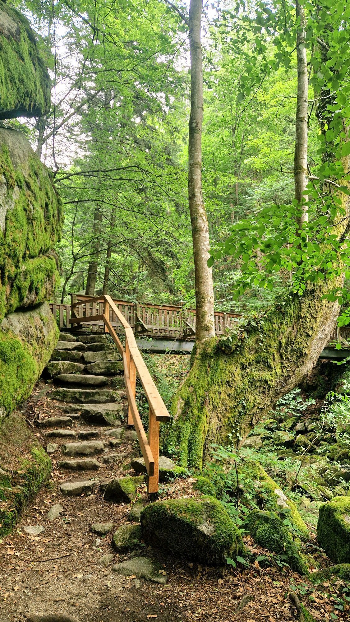
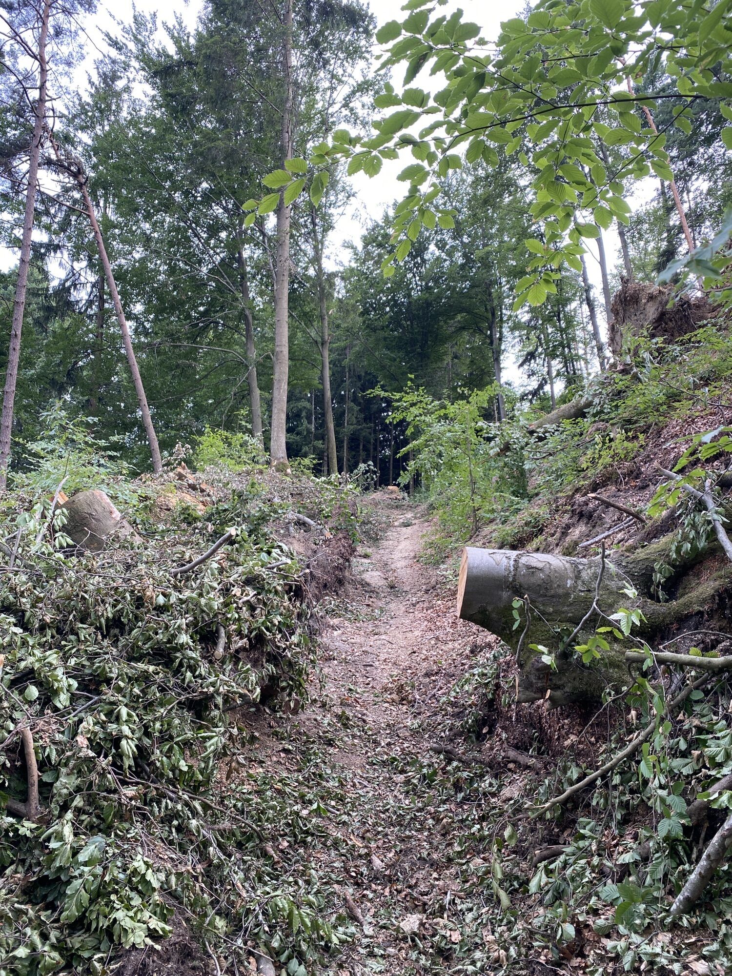
In some stages we encounter unsecured terrain. Therefore, good footwear is advisable.
The main station of Passau is located on the peninsula of Ortspitz about 350 m west of Schanzbrücke bridge (Navigation: D‑94032 Passau, Hauptbahnhof).
Passau can be conveniently reached by train and bus. Information about the schedules can be found at www.vlp-passau.de.
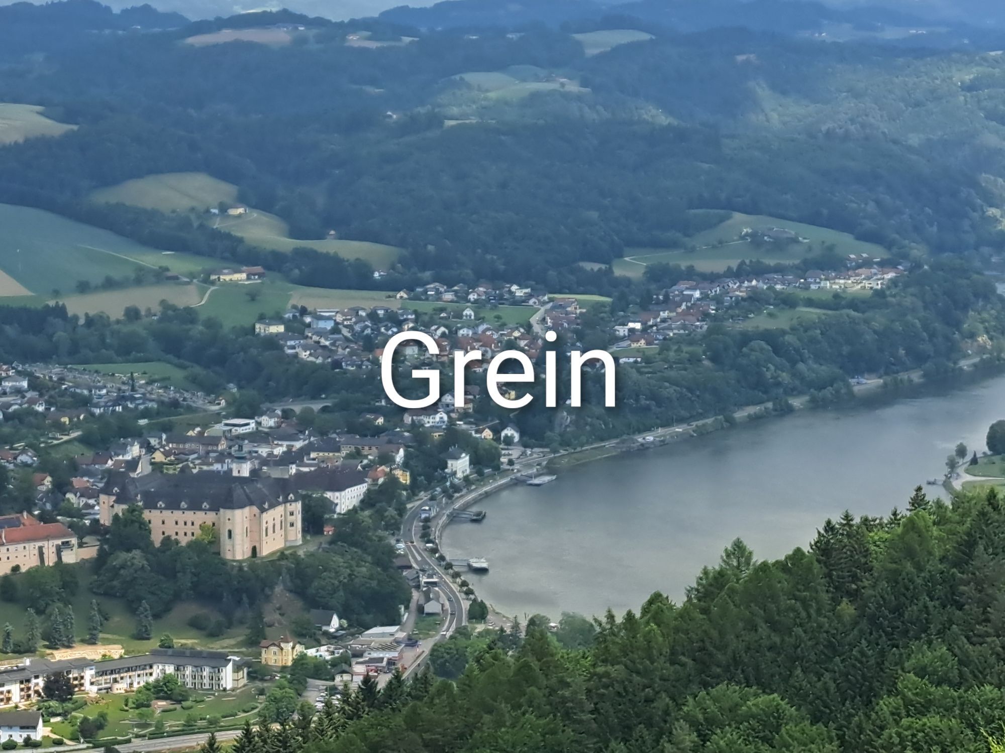
A return transfer from Grein to Passau Main Station is easily possible by train. From the Danube shore in Grein to the station is only a short walk. Information about schedules is available at http://www.ooevv.at .
The city centre of Passau is mostly a short-term parking zone. For long-term parkers, numerous paid parking garages and lots are available. Information about their locations and prices can be found here.
WGD Donau Upper Austria Tourism GmbH
Lindengasse 9
4040 Linz, Austria
Tel. +43(0)732/7277-800
Fax. +43(0)732/7277-804
info@donausteig.com
Exploration trips with enjoyable stops! This route leads directly past the following culinary partners:
Donautaler Mostkellerei Hotel Restaurant Faustschlöss'lWeinbau Gmeiner Radlerbauernhof Moser
Kamery internetowe z trasy
Puchenau
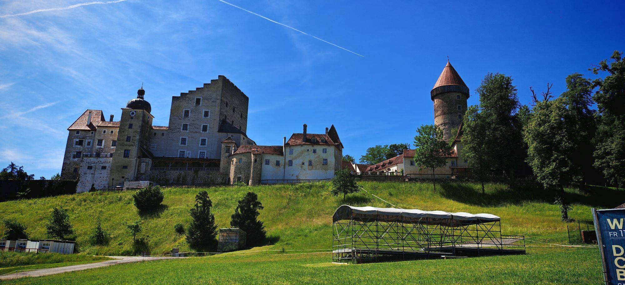
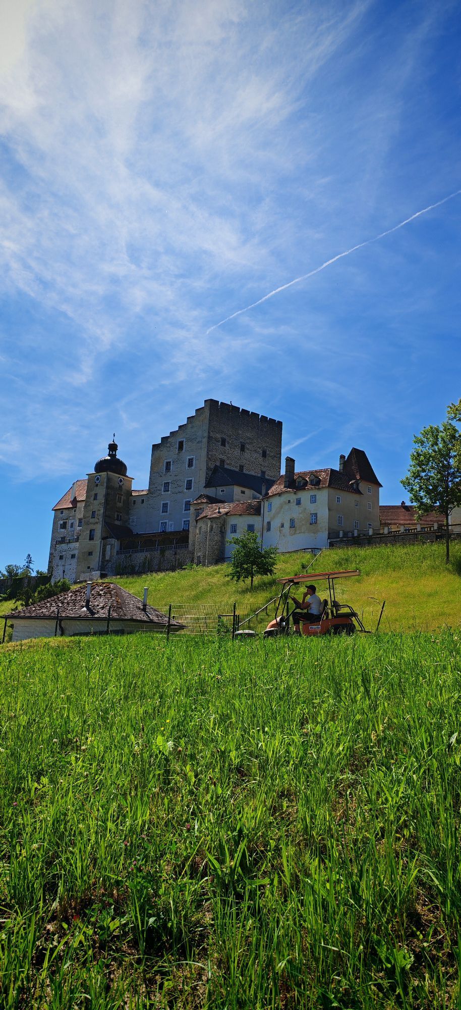
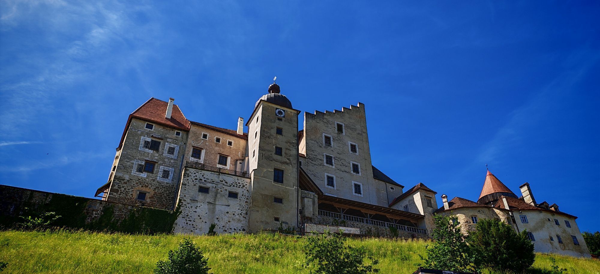
Burg Kreuzen
Neustadl
Neustadl
Alkoven
Linz/Pöstlingberg
Linz / Donau
Stroheim/Stallberg
Stroheim/Stallberg
Stroheim/Stallberg
Linz - Arcotel Nike Linz
Au an der Donau
Engelhartszell
Untergriesbach
Golfclub Luftenberg
Vichtenstein - Blick nach Untergriesbach
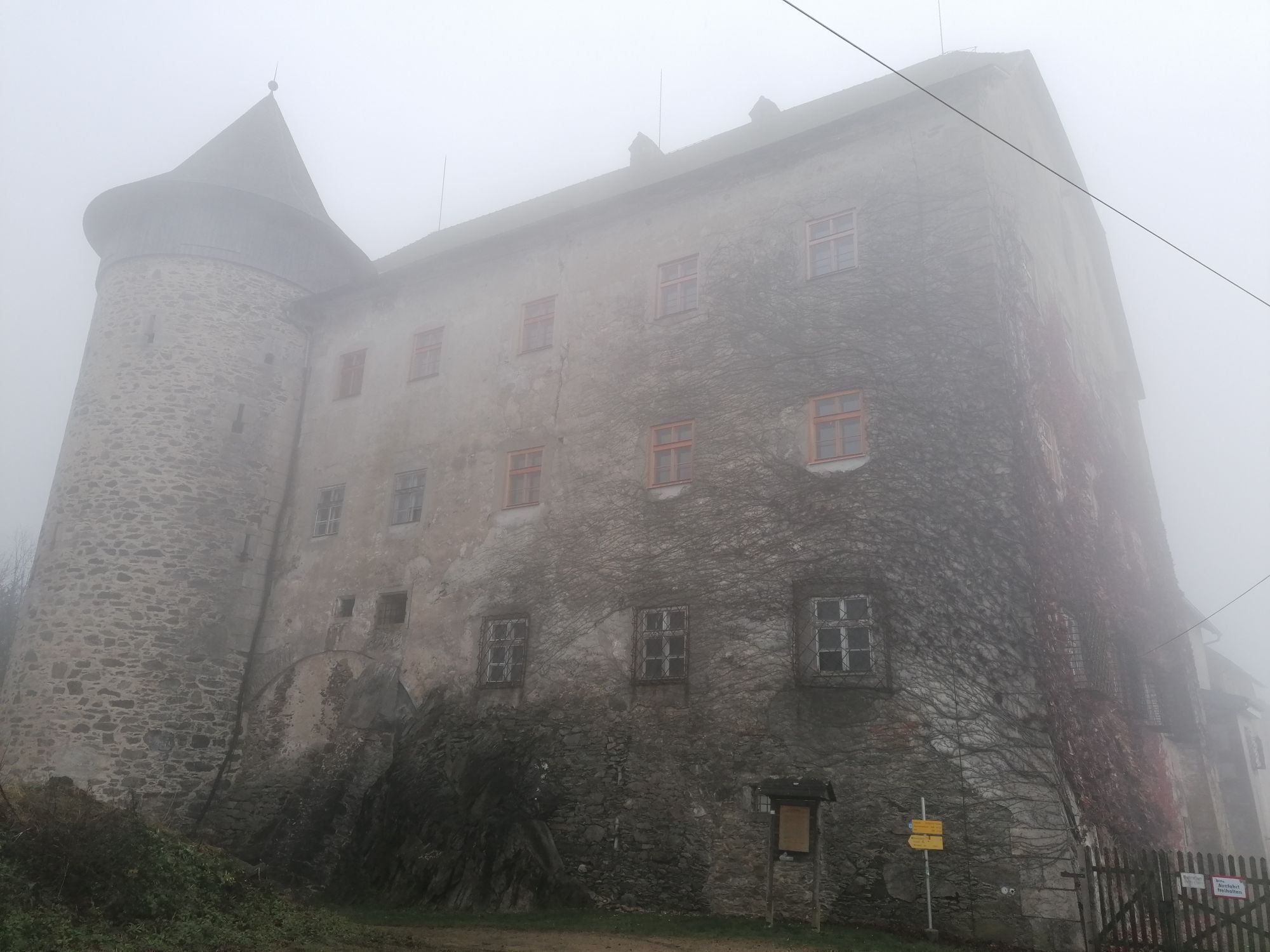
Veste Oberhaus
Veste Oberhaus
Veste Oberhaus
Veste Oberhaus
Veste Oberhaus
Veste Oberhaus
Veste Oberhaus
hello yellow Pumptrack/Velodrom
Mayrhofberg bei Stroheim
Mayrhofberg bei Stroheim
Mayrhofberg bei Stroheim
Mayrhofberg bei Stroheim
St. Agatha - Etzinger Hügel
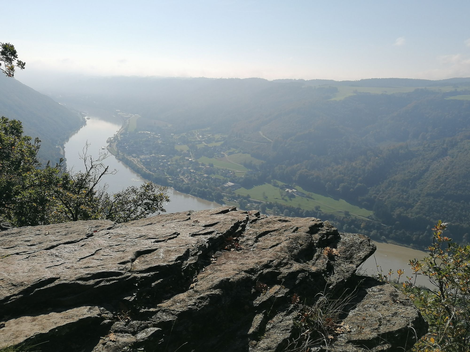
Schlögen - Donauschlinge
Feldkirchen - Badeseen
Aschach - Faustschlössl
Baumgartenberg Kloster
Pleschinger See
Pichlinger See
hello yellow Pumptrack/Velodrom
hello yellow Pumptrack/Velodrom
Puchenau
Puchenau Achleitnersiedlung
Puchenau Achleitnersiedlung
Popularne wycieczki w okolicy
- 4,7
Prinzensteig Rundweg
światłoWędrówka 13,7 km - 4,4
Linz: City Hiking Trail Pöstlingberg
średniWędrówka 7,71 km - 4,7
Steyregg Donau-Höhen-Rundwanderweg Pulgarn - Hohenstein (und zurück)
światłoWędrówka 7 km - 4,7
Steyregg Pfenningberg-Gipfelwanderweg
średniWędrówka 4 km - 4,4
Ottensheim: Danube Panorama Route
średniWędrówka 8,14 km - 5,0
Steyregg AV 50 Plesching - GH Daxleitner
światłoWędrówka 4 km - 4,1
Donausteig stage 3_S05 Wilhering - Linz: “Over the Prinzensteig through the Linz Gate”
średnidługodystansowy szlak pieszy 13,2 km - 4,9
Kreuzweg auf den Pöstlingberg Linz, Österreich
światłoWędrówka 1,30 km - 4,0
Kürnbergwald - kurzer Rundwanderweg
światłoWędrówka 9,46 km - 4,5
Gramastetten: 3 Streams - 4 Mountains Route
Wędrówka 15,4 km
Wędrówki i tropienie


Nie przegap ofert i inspiracji na następne wakacje
Twój adres e-mail została dodana do listy mailingowej.