


Vasco-Navarro Railway Greenway
Poziom trudności: 2
There are 2 sections:
From Estella-Lizarra to Vitoria-Gasteiz, 76.1 km:
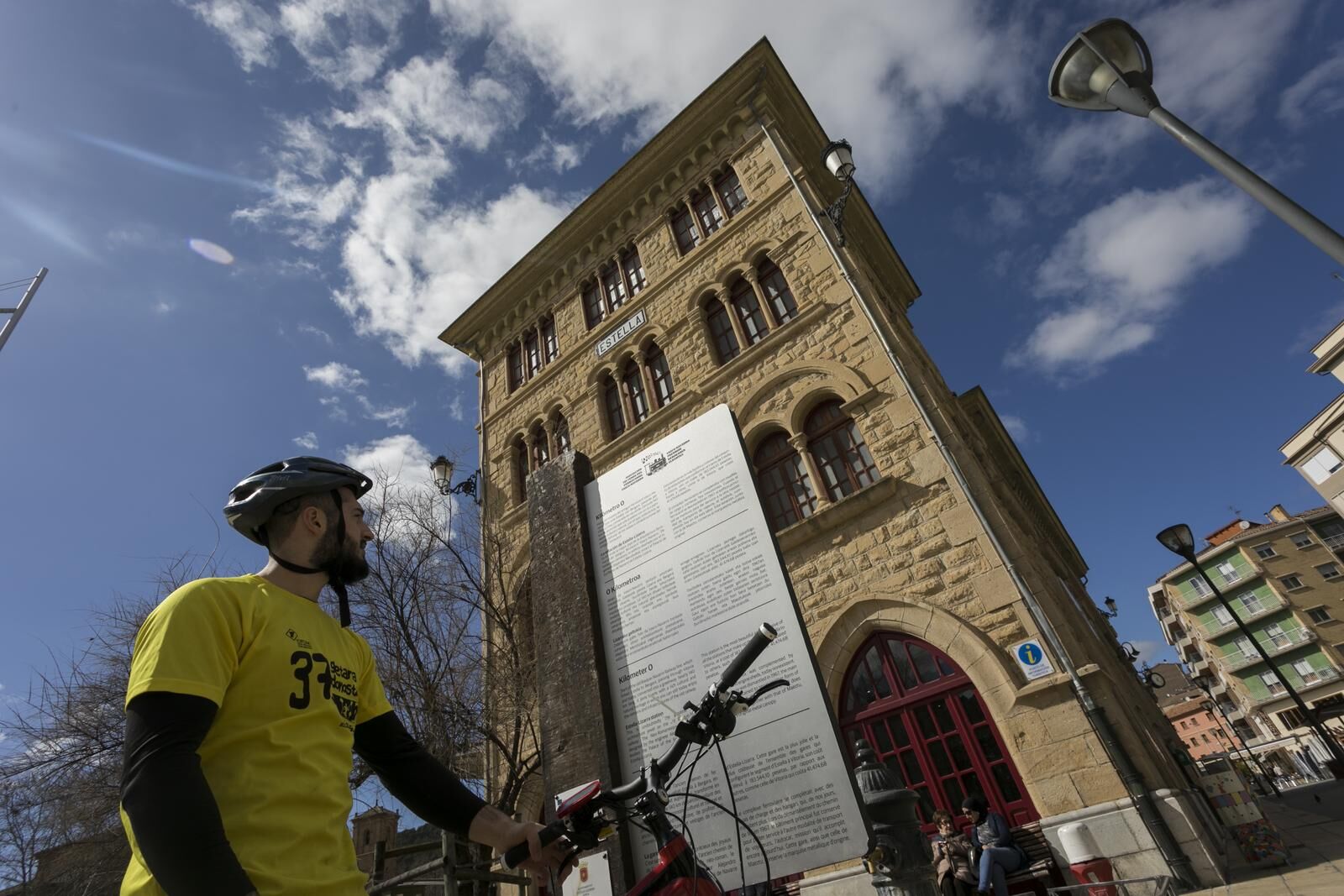
The Navarre section is the easiest and runs for 27 kilometers. It starts at the Estella-Lizarra bus station, the former railway station,...
There are 2 sections:
From Estella-Lizarra to Vitoria-Gasteiz, 76.1 km:
The Navarre section is the easiest and runs for 27 kilometers. It starts at the Estella-Lizarra bus station, the former railway station, and goes through the municipalities along the Ega riverbank, with Zúñiga being the last locality in Navarre.
Upon entering the Alava mountains, the route becomes a bit more difficult. This first section is affected by the Laminoria tunnel (2,195 m), which is currently impassable and closed. To bypass it, the route detours by ascending the Guereñu pass, with steep slopes and a descent that must be done with caution. The section ends in the Alava lowlands.
From Vitoria-Gasteiz to Bergara (Oñati variant), 47.4 km:
In just 12 km it takes us to Landa, a town close to the Ullibarri Gamboa reservoir. From here and to reach Gipuzkoa lands, you have to cross the Arlaban pass on the road, so extra caution is recommended on this stretch. About 5 km from Arrasate-Mondragón, you can take a 7 km branch leading to Oñati.
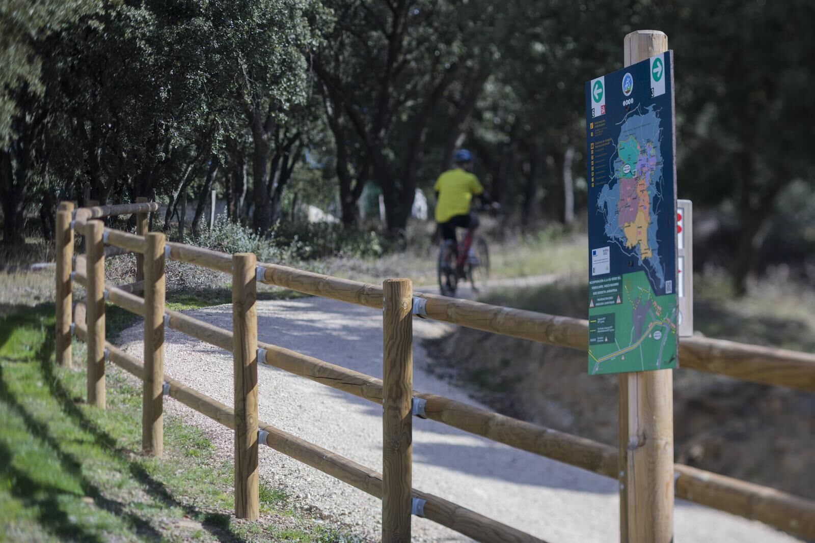
In general, it is a medium difficulty route that can be traveled on foot and by bike, enjoying along the way a rich railway and cultural heritage that brings us closer to remembering the more recent past of our roots.
The 123.5 km of the Vasco Navarro Railway greenway make it one of the longest in the country, and the route in Navarre also holds the "Starlight Trail 2019" certification.

Tak
8 essential accessories for any bike route:
Helmet Gloves Air pump Multi-tool Spare tube Multi-tool Tire levers Odometer Water bottle and something to eat2
Popularne wycieczki w okolicy
- 5,0
Urederra Source
średniWędrówka 6 km Valles de Álava - Camping Acedo Route 3
ciężkiDroga rowerowa 103,5 kmReturn to Berrueza - Camping Acedo Routes 1
światłoDroga rowerowa 41,0 kmValdega, Allín, and Améscoas - Camping Acedo Route 2
średniDroga rowerowa 77,7 kmAyegui. Sacred Trails
ciężkiMountainbike 34,6 kmLarraiza, Rulez, Belastegi i Eraul - Camping Artaza Route 9
ciężkiMountainbike 46,7 kmDolina Tierra Estella - kemping Artaza Trasa 3
średniDroga rowerowa 102,6 kmSendas del Ega - Camping Acedo Route 7
średniMountainbike 35,3 kmSzlaki Lokiz - Kemping Acedo Trasa 9
ciężkiMountainbike 42,2 kmLokiz i Uiarra - Kemping Artaza Route 8
średniMountainbike 31,2 km
Wędrówki i tropienie


Nie przegap ofert i inspiracji na następne wakacje
Twój adres e-mail została dodana do listy mailingowej.