


Lion trail "Spielburg-Runde" - around the Hohenstaufen mountain
Poziom trudności: 2

You can follow in the footsteps of the lion in the district of Göppingen: The lion trails stand for hiking with quality standards and entice you with impressive views, varied natural landscapes and mysterious...
You can follow in the footsteps of the lion in the district of Göppingen: The lion trails stand for hiking with quality standards and entice you with impressive views, varied natural landscapes and mysterious places. Sixteen circular hiking trails, between 3 and 24 kilometers long, offer hiking fun for almost every taste.
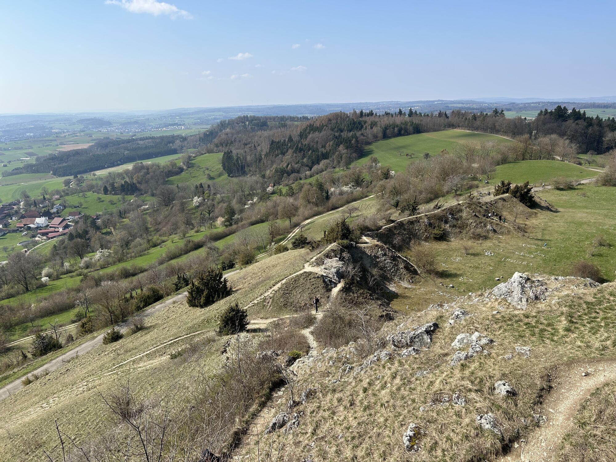
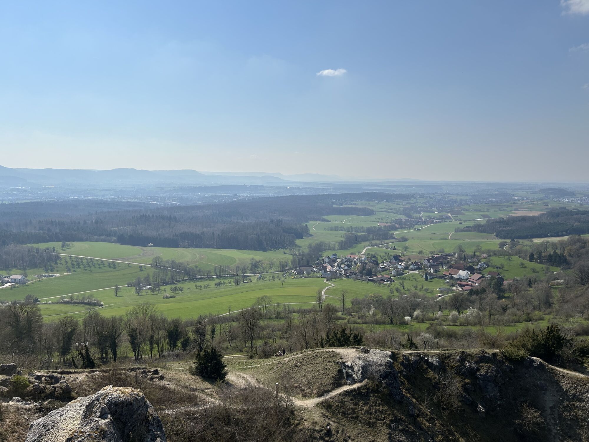
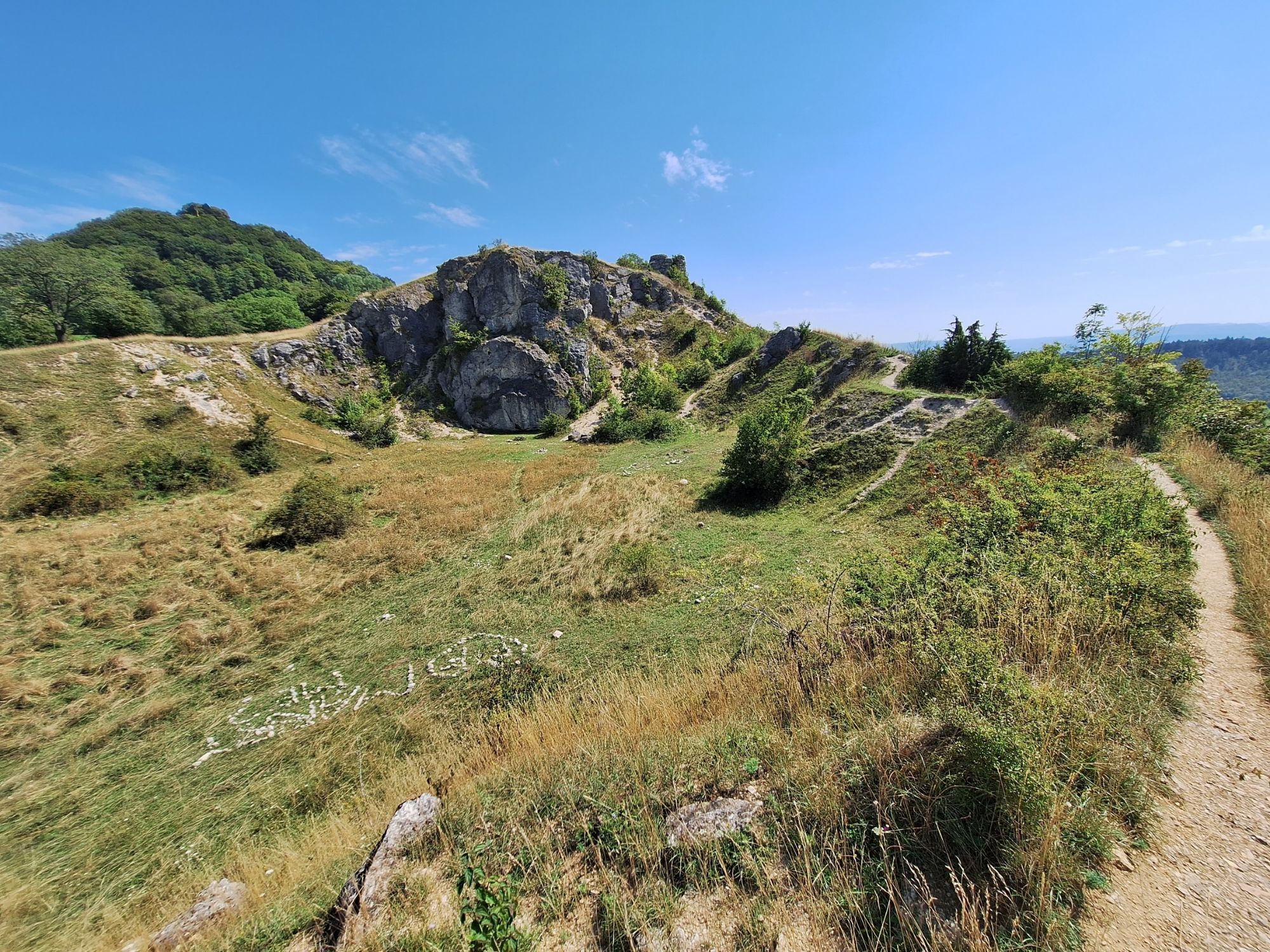
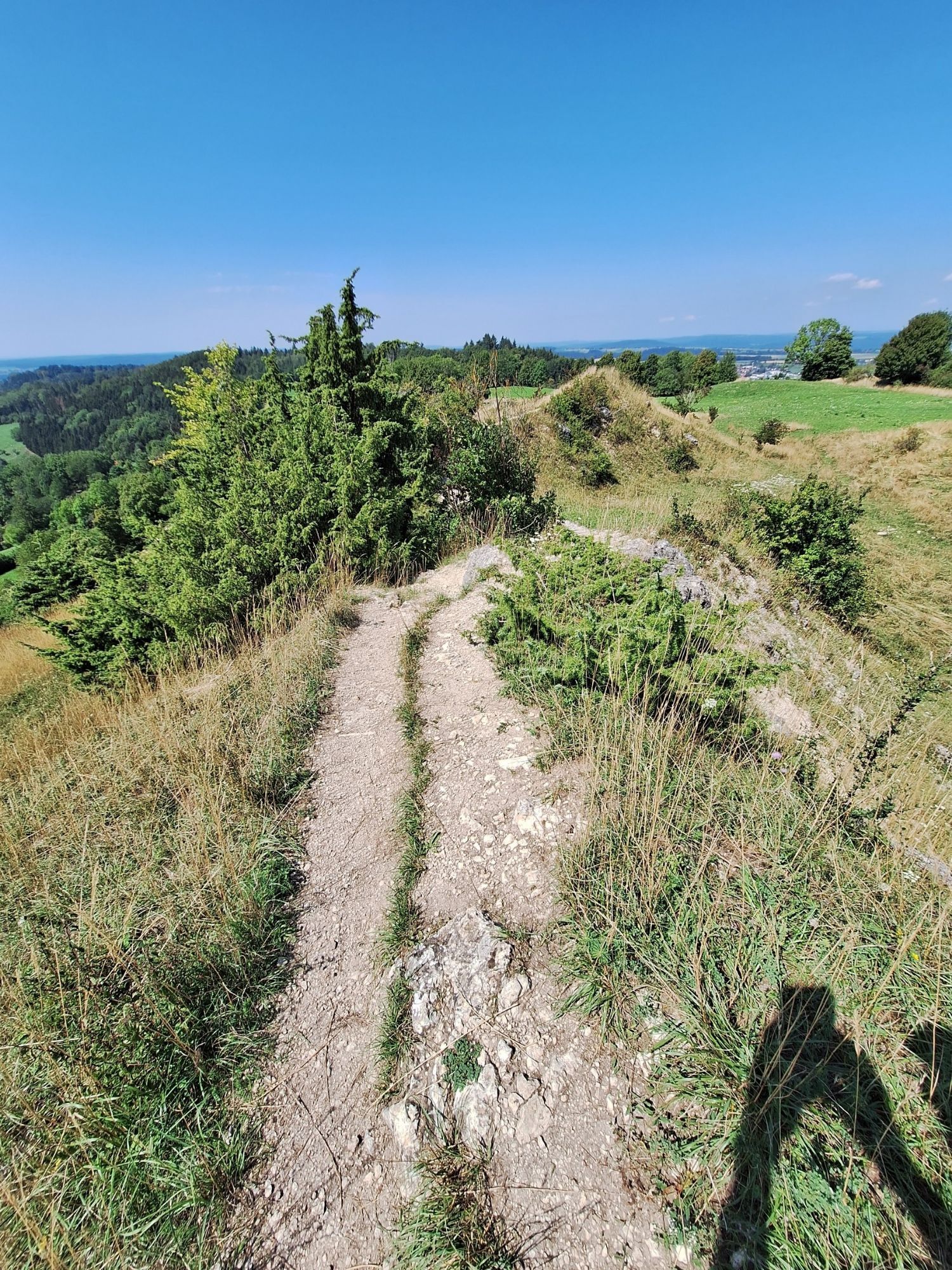
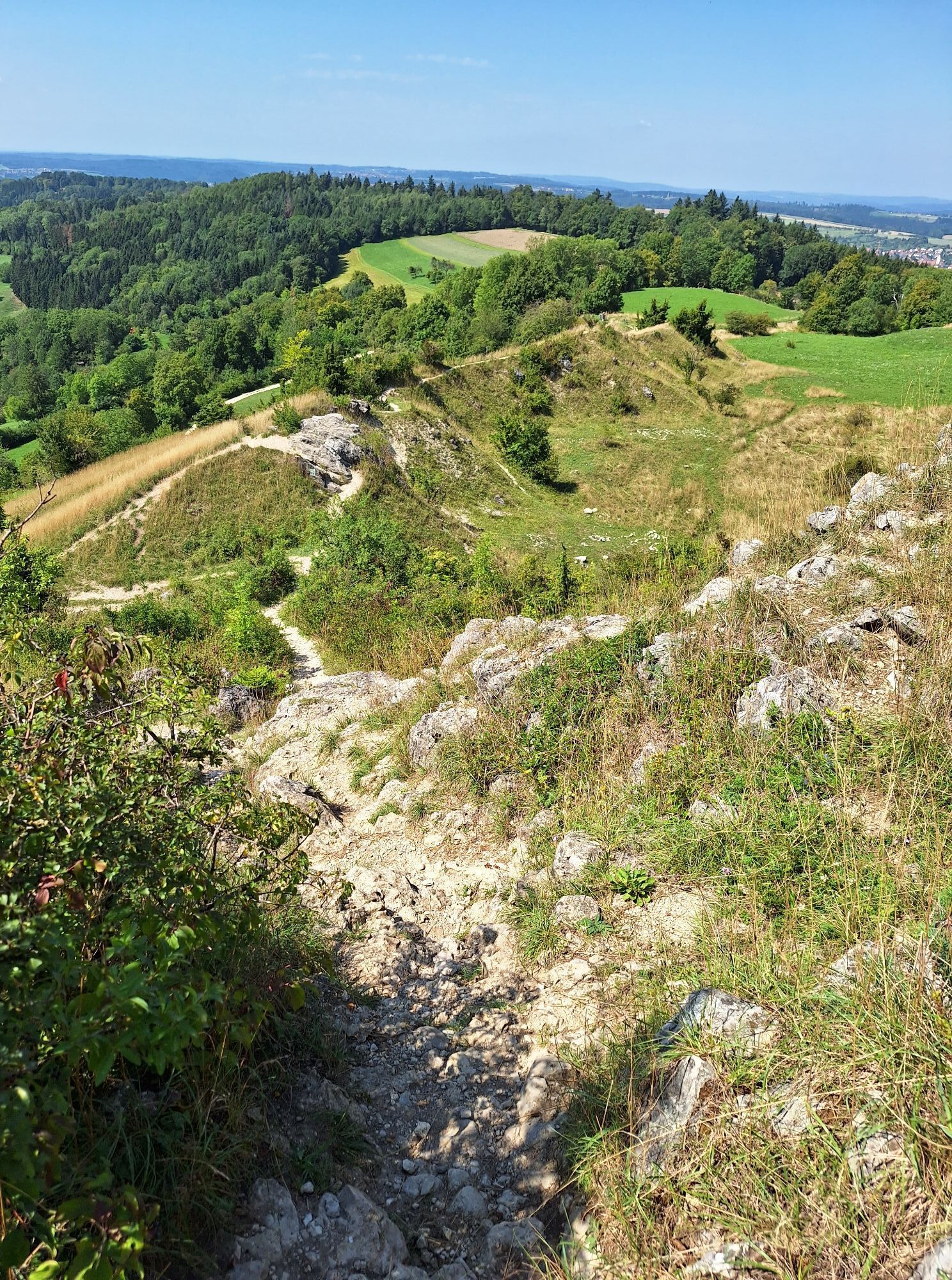
The Löwenpfad Spielburg-Runde in Hohenstaufen is a circular trail certified by the German Hiking Association in the "comfort hiking" category. The 3.5-kilometre tour starts at the hiking parking lot at the sports field in Hohenstaufen and is particularly suitable for a leisurely walk with the whole family and offers great views. The path runs along the Herbweg trail around Göppingen's local mountain and over the "Spielburg" rock formation, which offers great views. This route is only suitable for wheelchair users to a limited extent, as there are two somewhat steeper sections. An optional alternative route with fewer inclines is signposted.
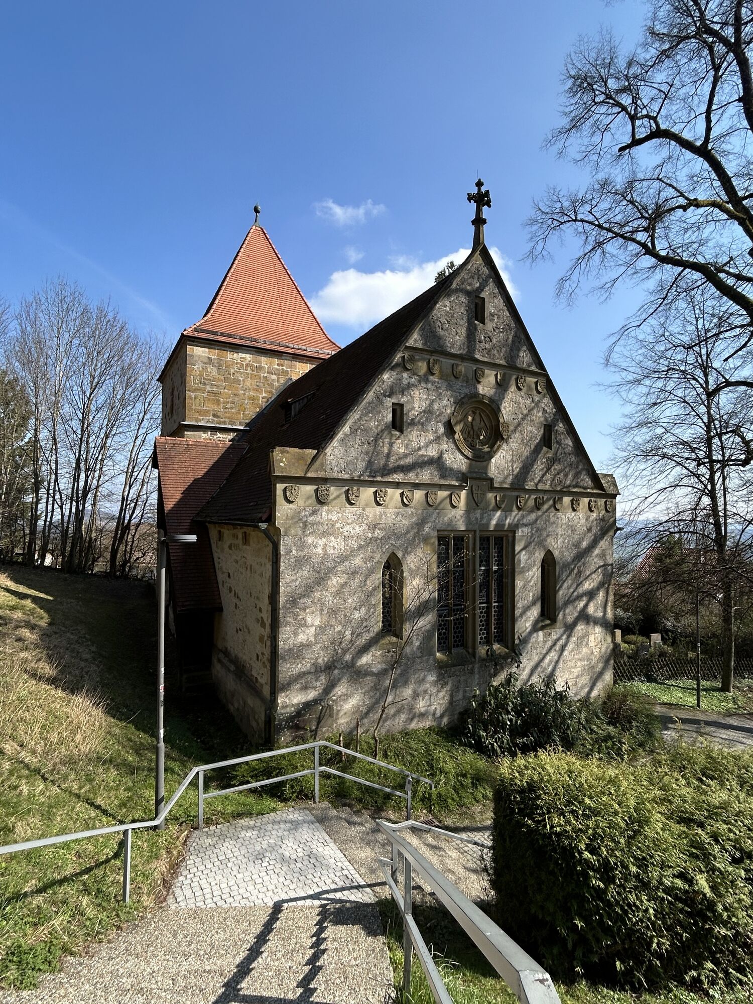
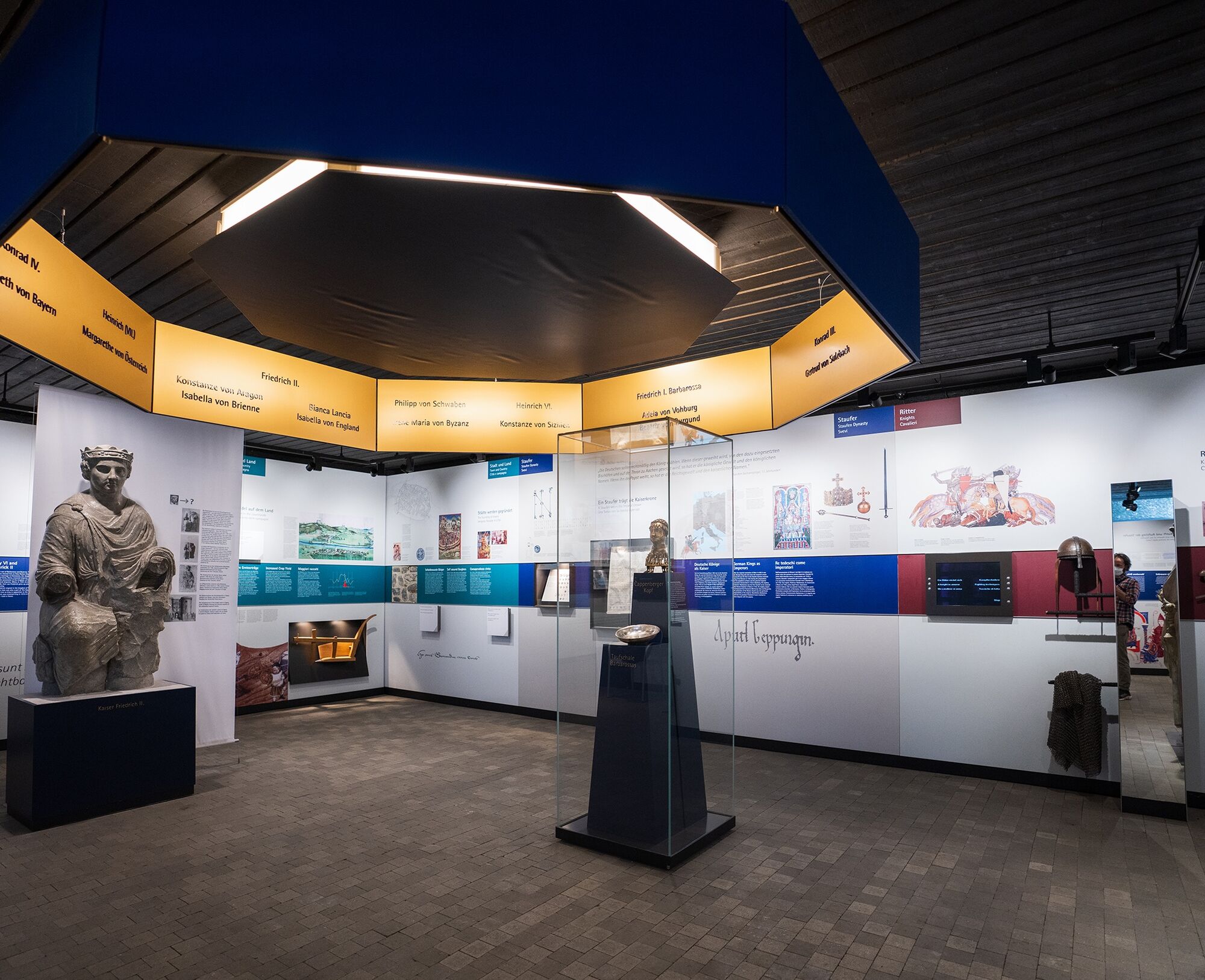
You will repeatedly pass remnants of Staufer history and can find out all about the strong and world-famous Staufer dynasty in the Staufer exhibition at the foot of the Hohenstaufen.
More information at loewenpfade.de

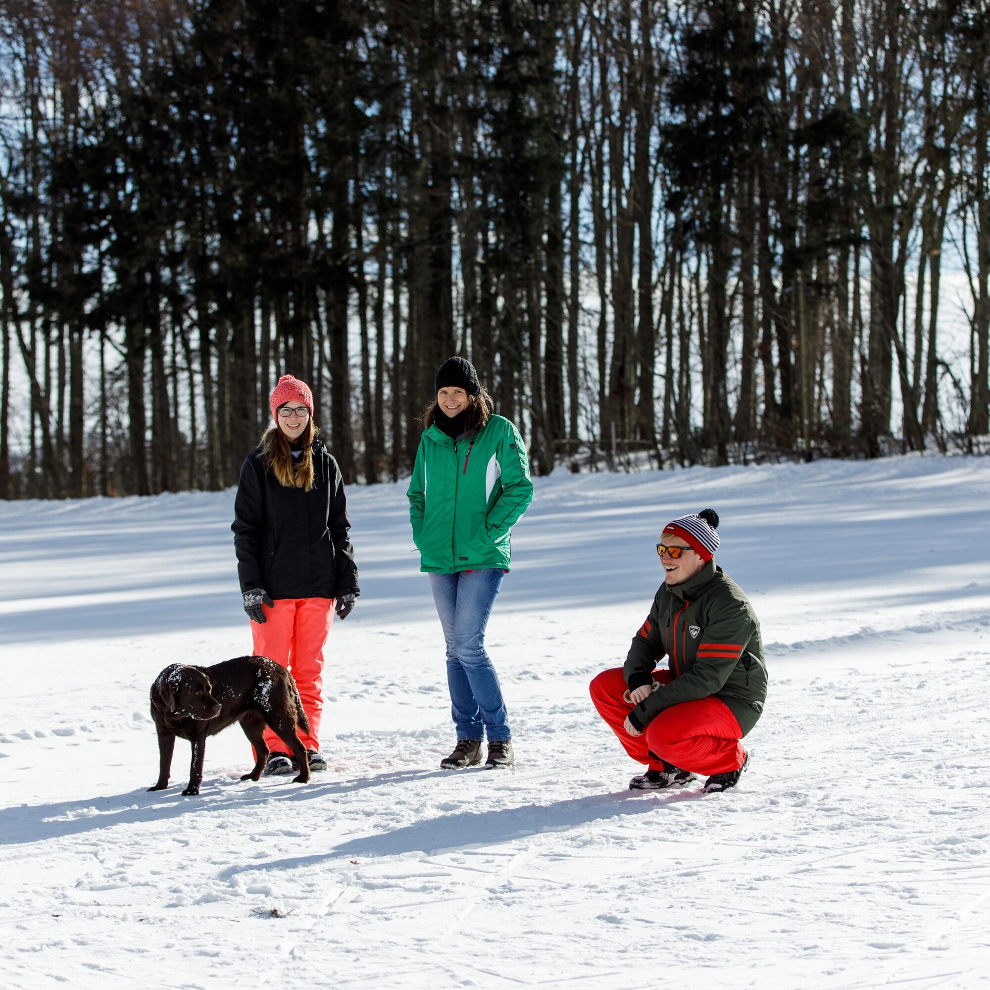
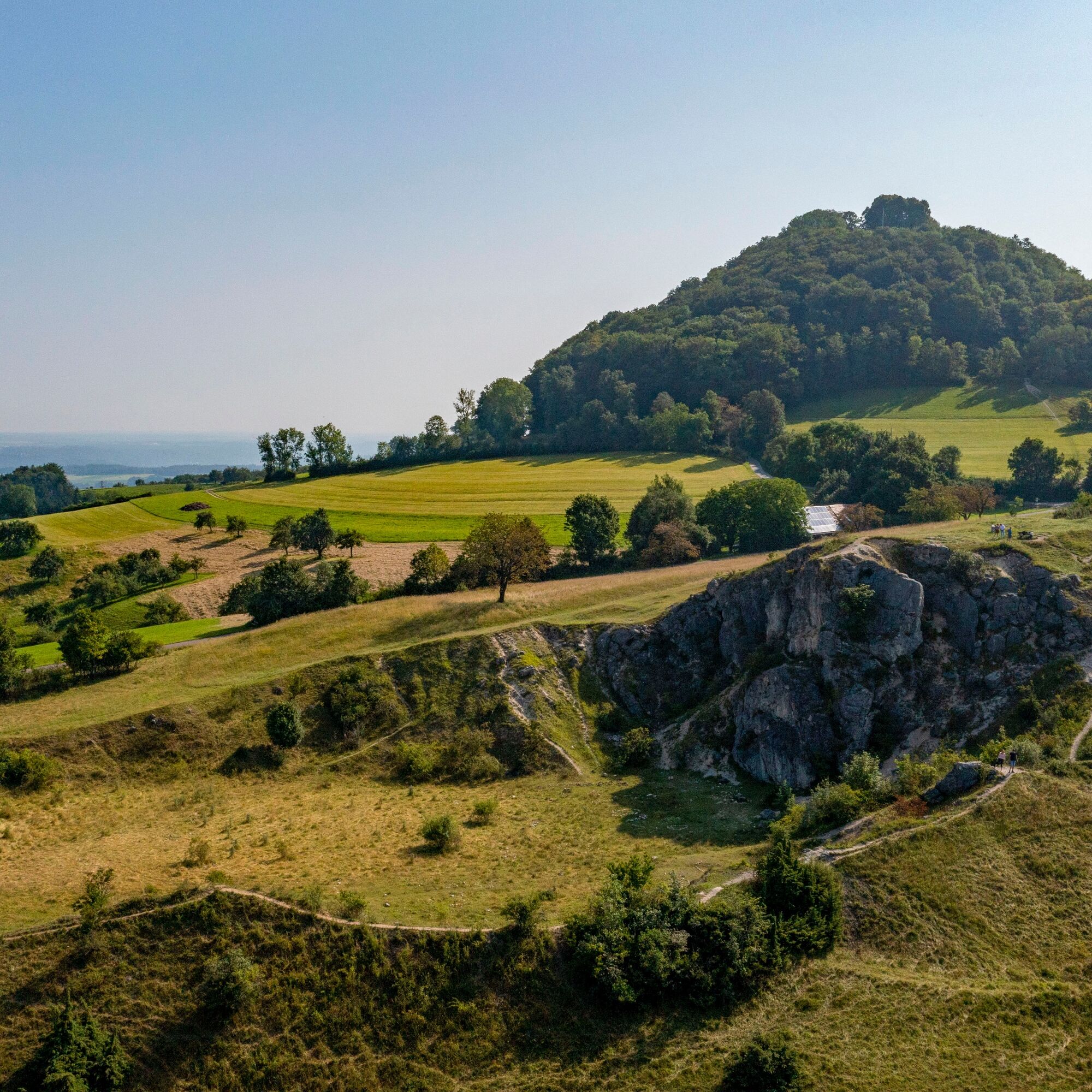
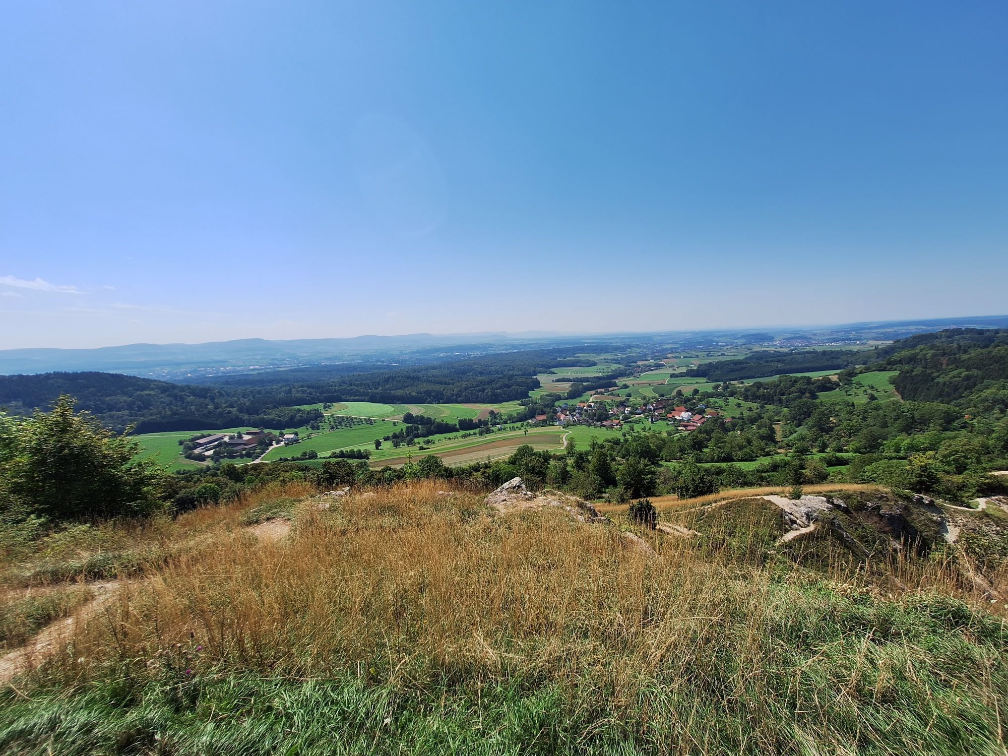
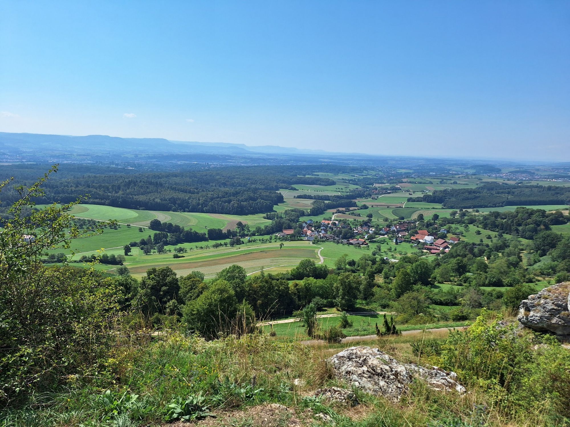
From the starting point in the center of Hohenstaufen on the village square, the tour takes us left along Ailstraße through the village towards the Spielburg rock formation. We follow the Spielburgweg trail and can enjoy the fantastic view of the Albtrauf and the Filstal valley along the way. Along the way, benches invite you to take a break. At the next fork, the so-called "Ski-Wiese", we continue to the left on the Herbweg around the Hohenstaufen. There are wonderful views of the Rems valley and the Wäschenbeuren castle. At the next fork in the path, we have the choice between the alternative route downhill towards the village of Hohenstaufen, which is less steep, or following the regular path to the right over a short steep climb up to the path that circles the mountain. Once we reach this path, we walk around the mountain to the left via the Bergweg and the Kaiserbergsteige to get back to our starting point at the village square. The less steep alternative also leads back to the starting point at the village square.
Tak
Tak
No groomed route, but few vertical meters.
Coming from Stuttgart or Ulm, take the B10 exit Göppingen (at Möbel Rieger), then follow Heininger Straße and Hohenstaufenstraße to Hohenstaufen.
From the A8, take the Kirchheim unter Teck-Ost exit onto B297. In Bartenbach on Lerchenberger Straße and via L1075 to Hohenstaufen.
Navigation to the starting point with Google Maps
In Göppingen there is a connection to the MEX and RE trains of the Filstalbahn on the Stuttgart-Ulm line. From Göppingen ZOB take bus no. 933 to the bus stop "Hohenst. Rathaus/Dorfplatz", where you will also find the starting point at the village square in the immediate vicinity.
You can find the district timetable at www.vvs.de/fahrplan
Parking is available directly in Hohenstaufen at the hiking parking lots. Please follow the signposted parking guidance system.
2
Respectful cooperation in the district of Göppingen.
Code of conduct:
Plan ahead and make use of daylight. Try to avoid twilight in the morning and evening. Show consideration for animals and plants. Respect other users of the forest and meadows. Act with foresight and consideration. Adapt your behavior to the situation at hand. Safety first. Leave no traces such as garbage or animal droppings and treat your path with care. Respect trail closures and the quiet zones developed in the leisure trail concept. Observe the ban on entering agricultural land during the growing season. Stay on the designated paths and avoid the edges of forests so that wild animals can get used to people better.More information at ruecksicht-macht-wege-breiter.de
A visit to the Staufer exhibition at the foot of the mountain is highly recommended.
Popularne wycieczki w okolicy
- 4,5
Löwenpfad "Orchideenpfad" - Herbs, Pasqueflower and Juniper Heathlands
średniWędrówka 9,33 km - 4,9
Löwenpfad "Staufer-Runde" - Barbarossa's traces before a dreamlike backdrop
średniWędrówka 11,3 km - 5,0
Lion trail "Berta-Hörnle-Tour" - castle stories in a dreamlike setting
ciężkiWędrówka 14,7 km - 5,0
Löwenpfad "Heldentour" - The king stage of the Löwenpfade
ciężkiWędrówka 23,6 km - 4,5
Löwenpfad "Weitblick-Tour" - High up and far-reaching view
ciężkiWędrówka 12,0 km - 3,7
Löwenpfad "Wasserberg-Runde" - pure panorama and typical Swabian Jura landscapes
ciężkiWędrówka 12,0 km - 3,5
Lion trail "Messelberg tour" - hiking with impressive views
średniWędrówka 7,72 km - 3,0
Circular route Drei-Kaiserberge
ciężkiWędrówka 25,8 km - 1,0
Nordalbrunde
średniWędrówka 4,76 km - 4,5
Löwenpfad "Schloss-Filseck-Runde" - castle stories and lake dreams
światłoWędrówka 3,97 km
Wędrówki i tropienie


Nie przegap ofert i inspiracji na następne wakacje
Twój adres e-mail została dodana do listy mailingowej.