







Through the lush green moss to the craggy Piketfelsen

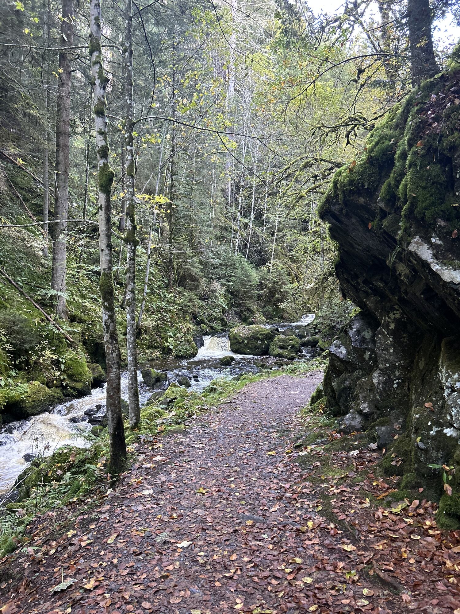
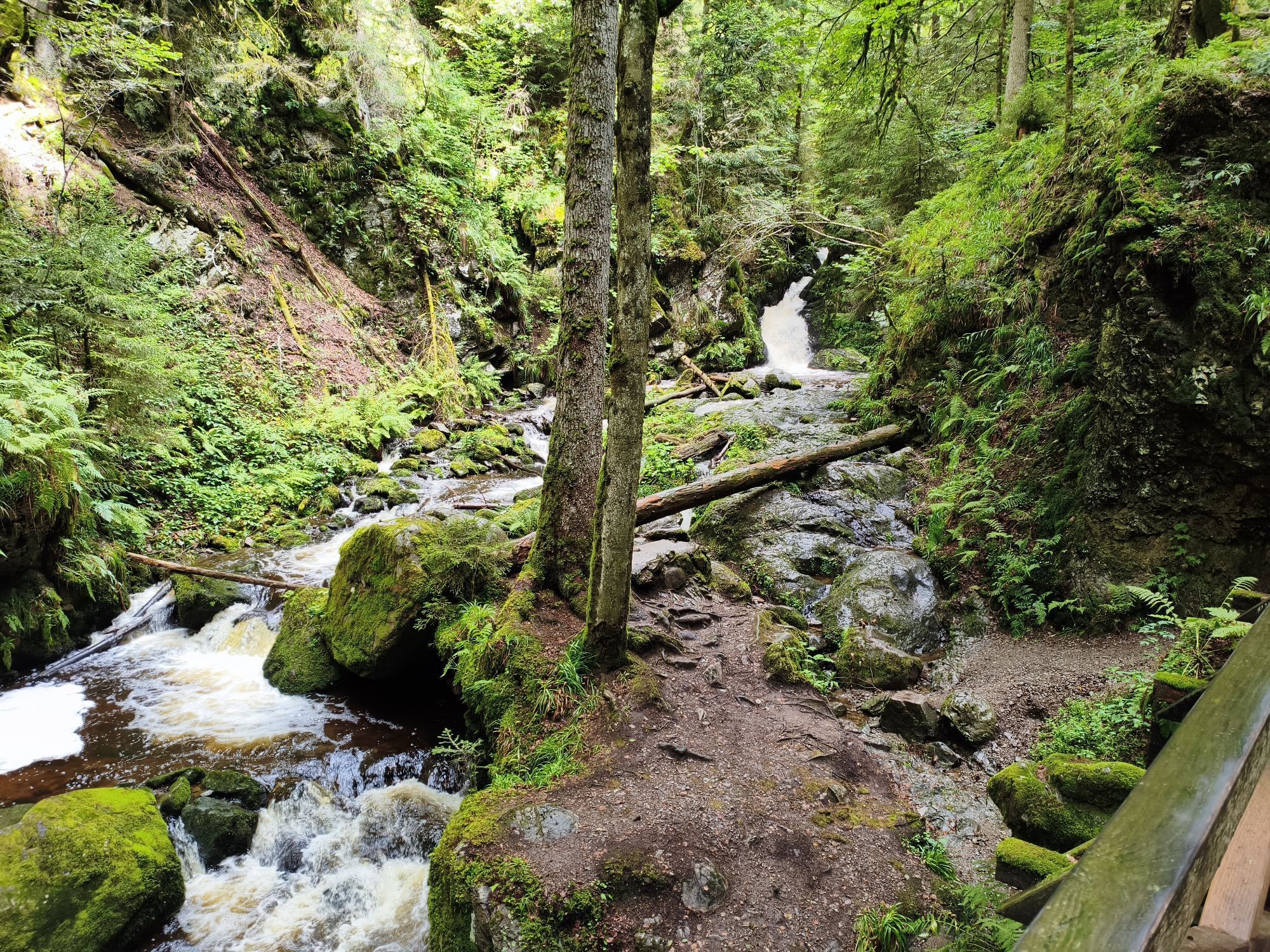
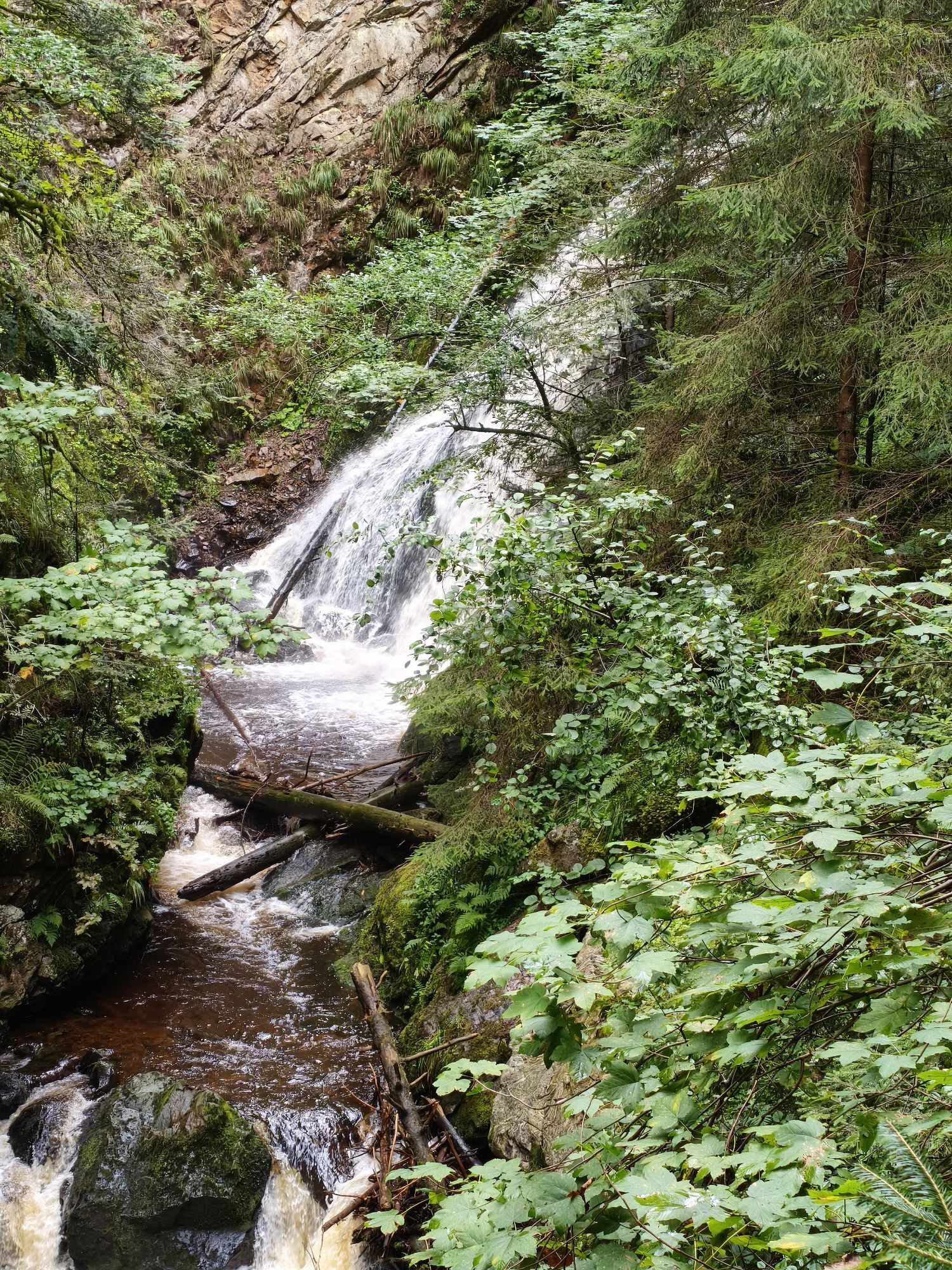
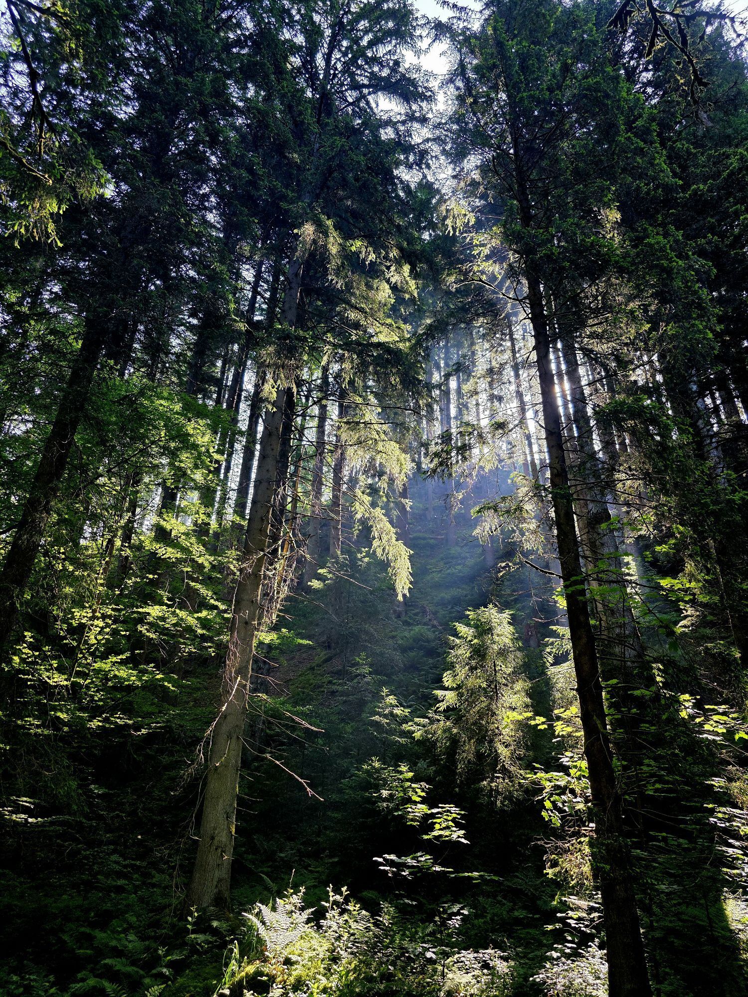
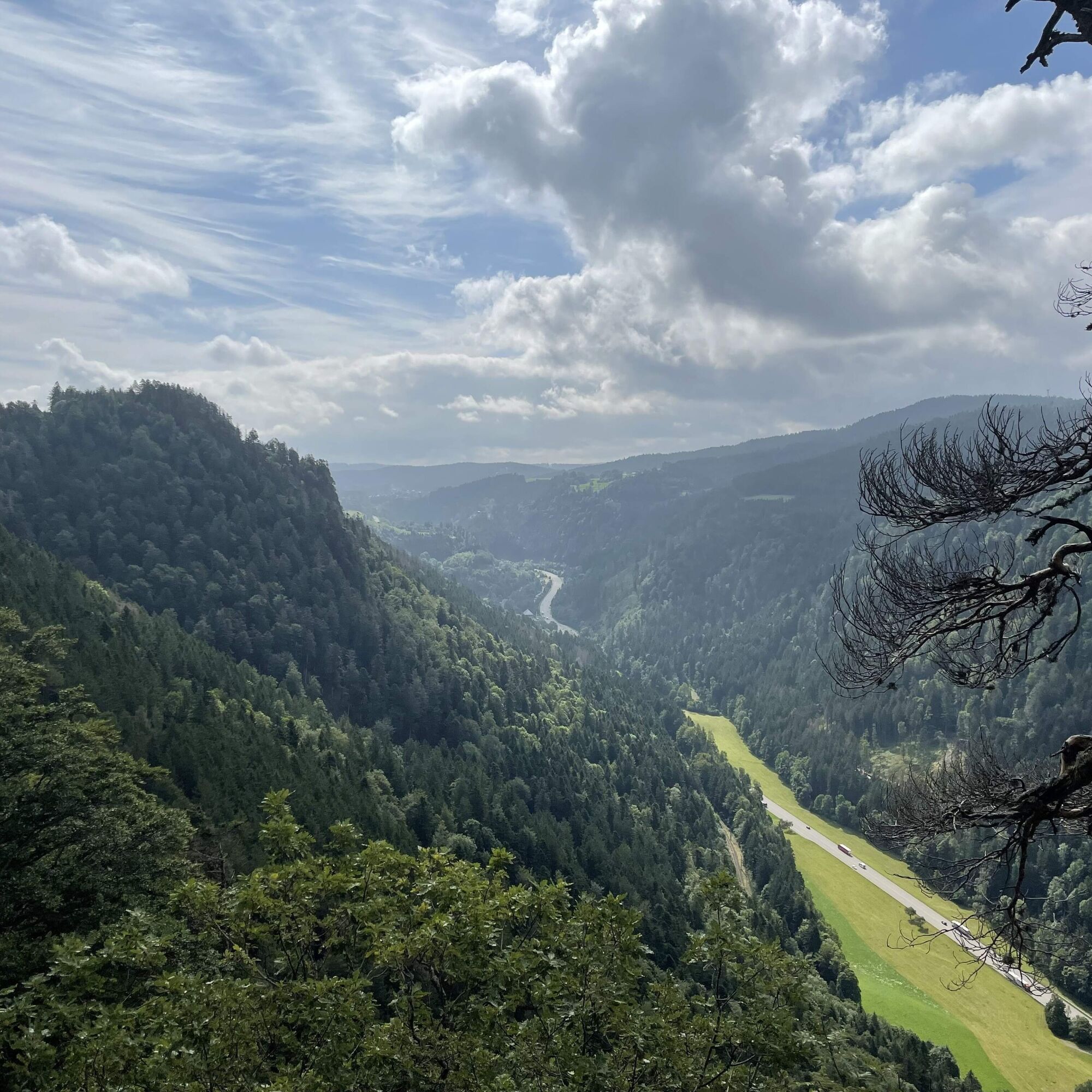
On our hike through the green we pass the chapel Maria im Moss and the Piketfelsen. We can not miss this view in any case. We enjoy a magnificent view over the Black Forest and the Höllental.

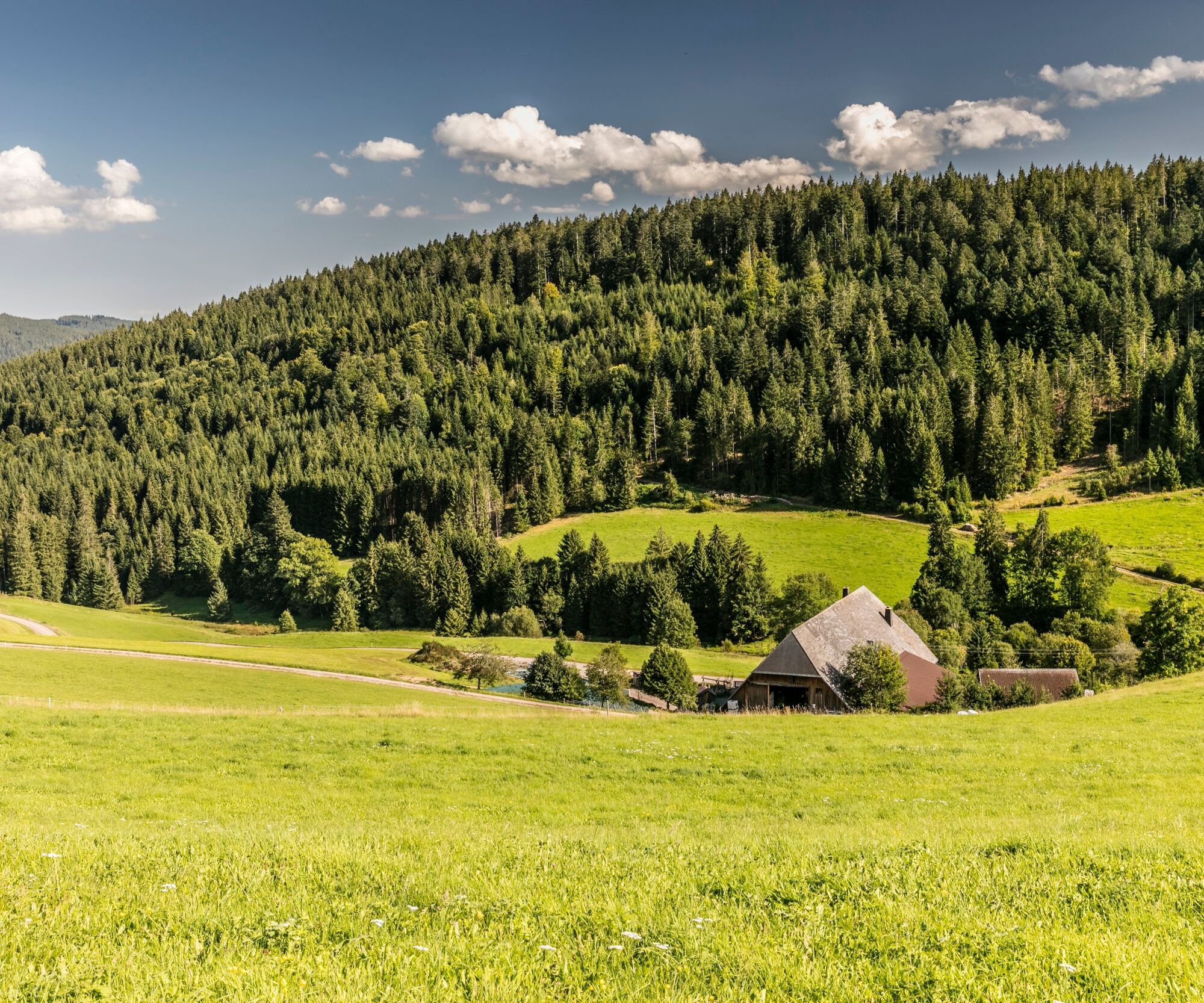
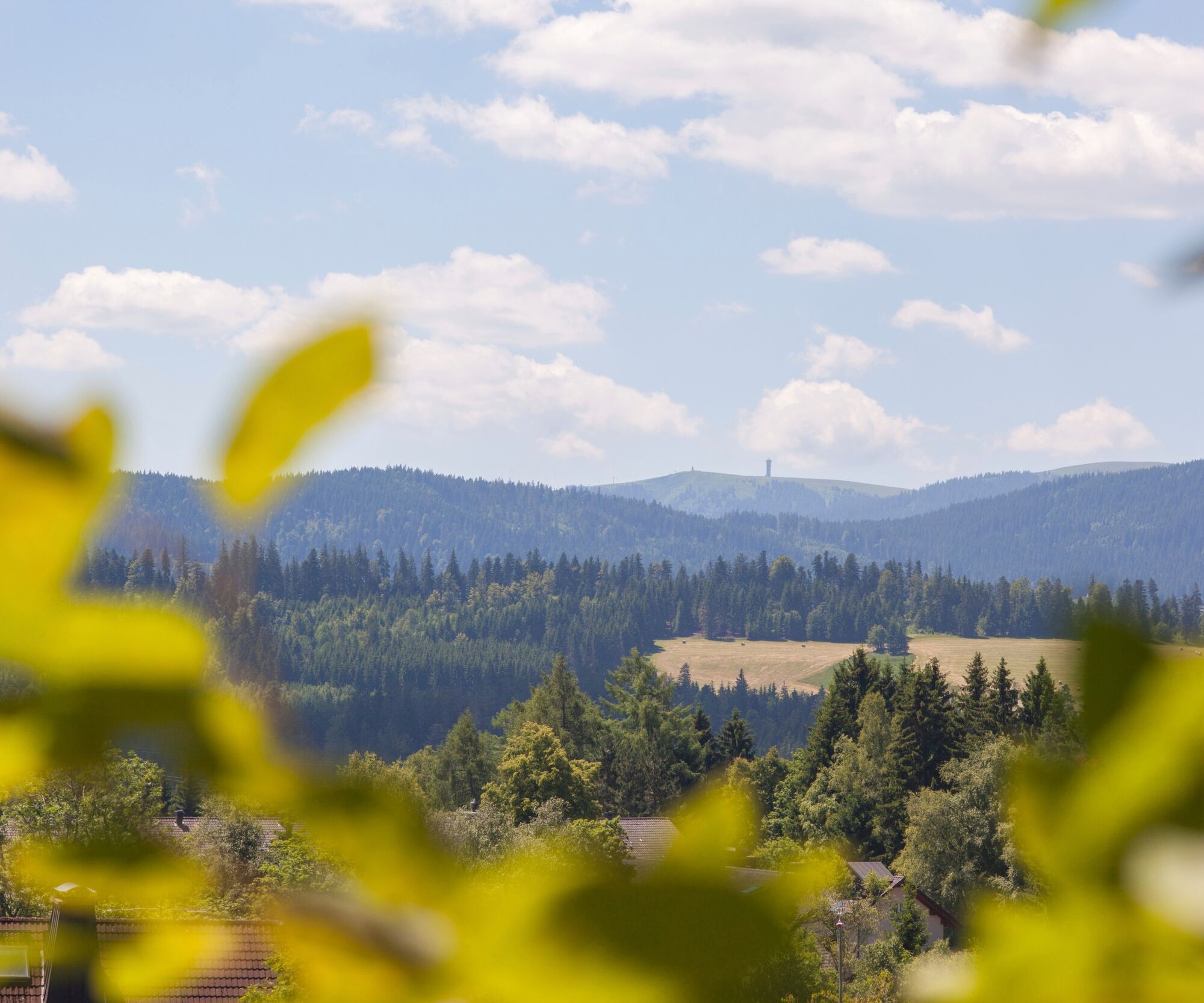
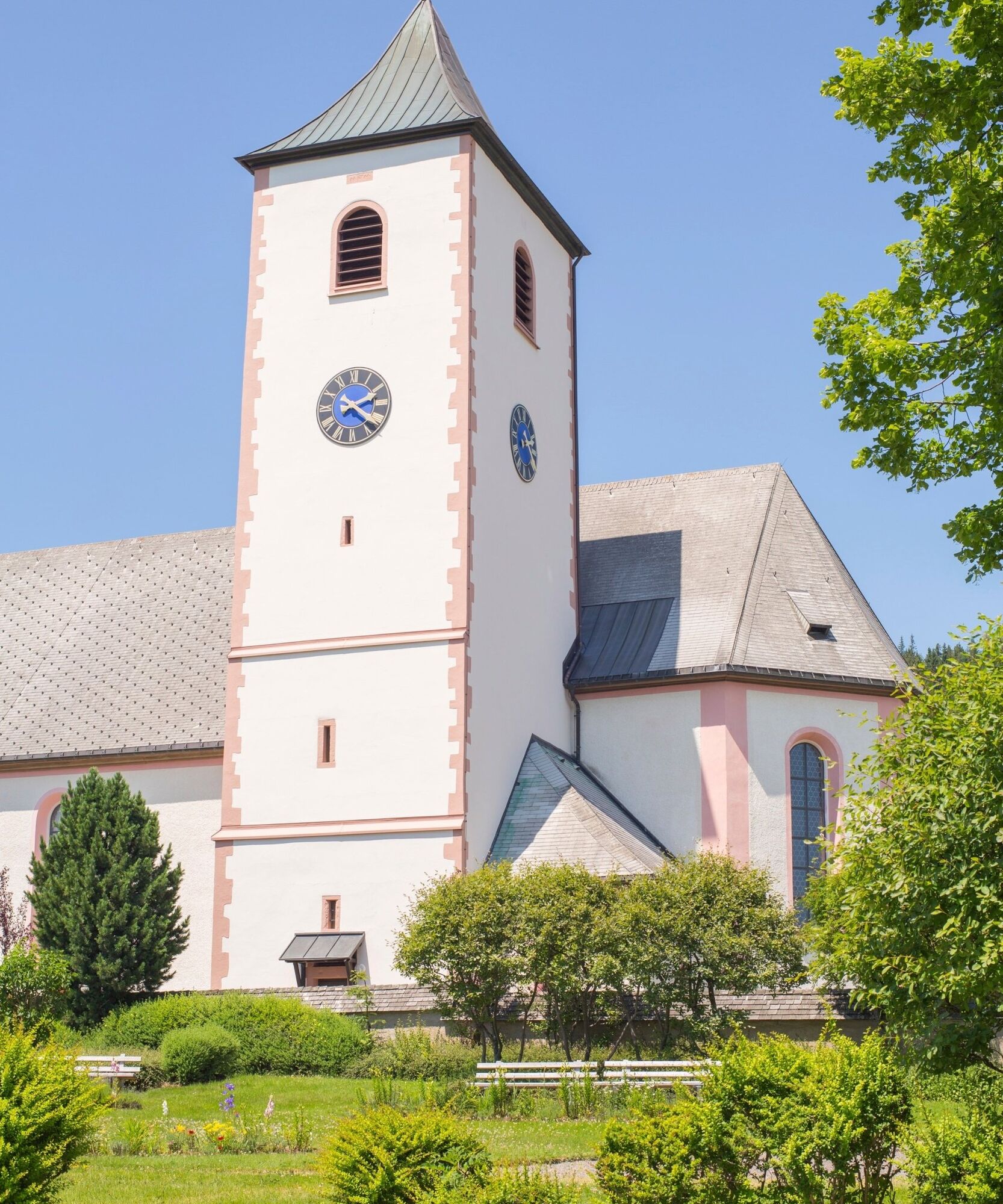
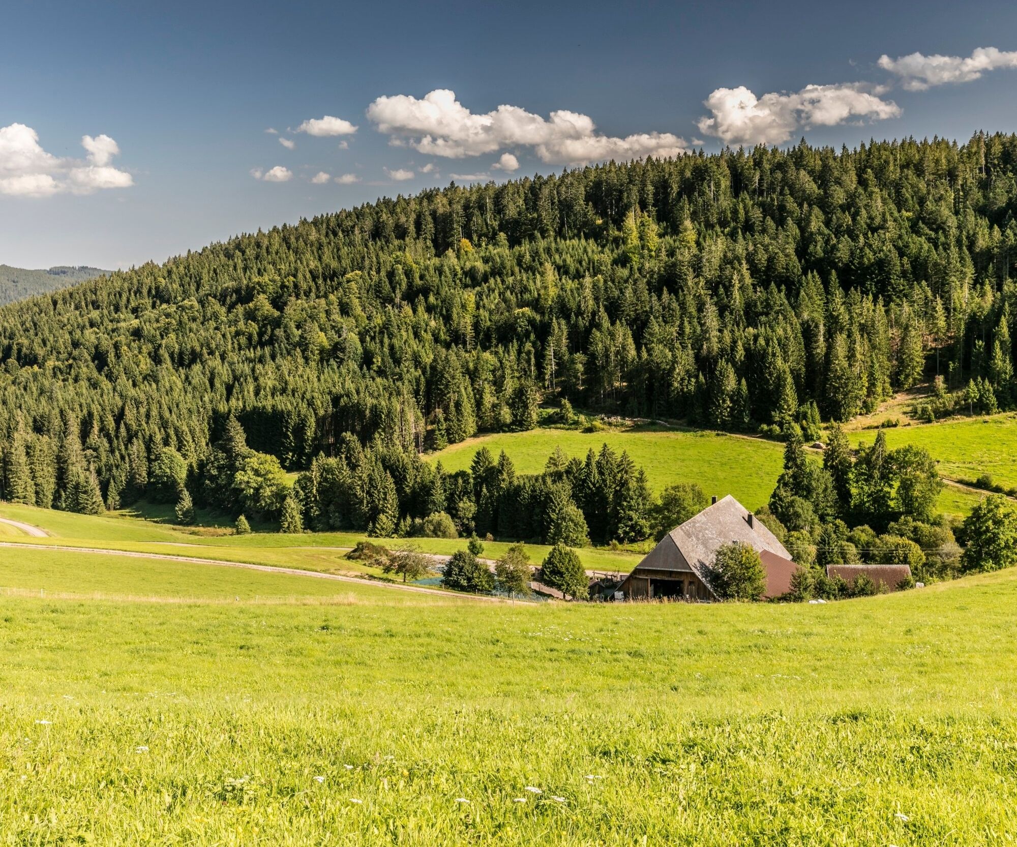
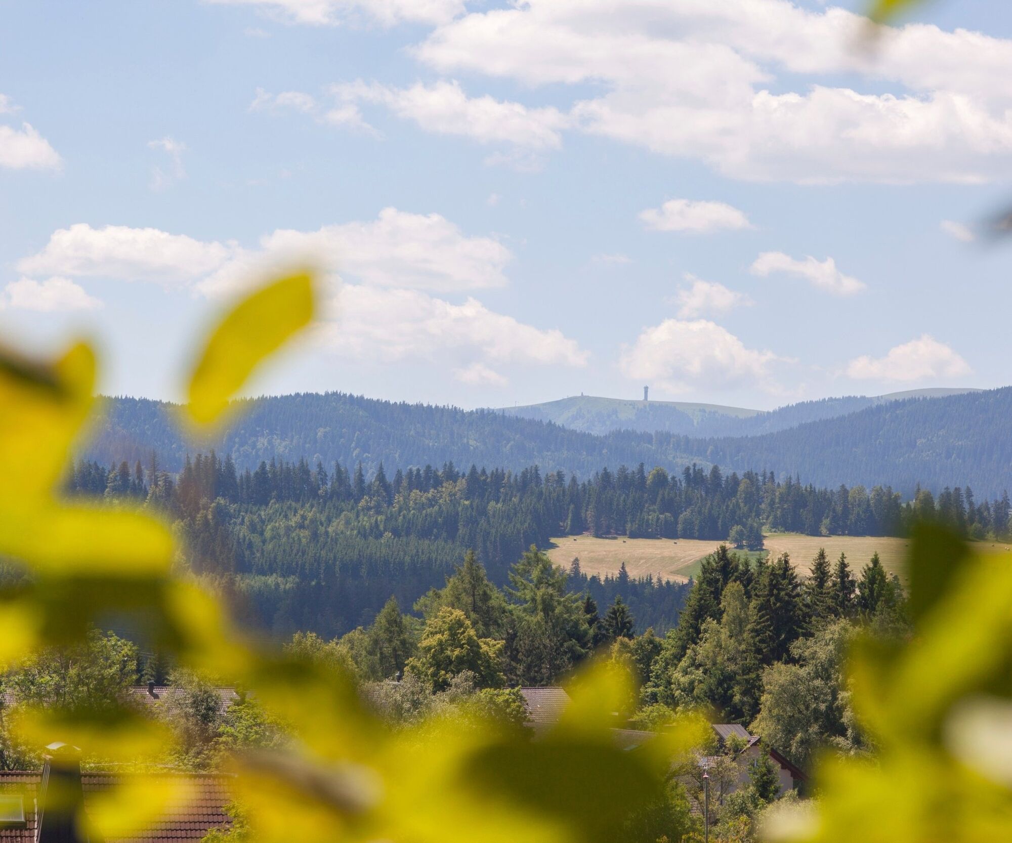

From here we continue to "Moos", right past the Fun Park to the chapel Maria im Moos. Here we keep straight until the next signpost and then turn left past the "Neuhofsäge" in the direction of Schwärzlehofwald. We continue uphill until we reach the crossroads Freiburg-Bodensee.
Here we can not forget the detour to the lookout point "Piketfelsen". The "Piketfelsen" is a prominent rock at Höllsteig in Höllental at about 1,038 meters and offers us a broad view of the holiday region Hochschwarzwald around the upper Höllental. The rocky outcrop is part of the Kaiserwacht, a steep ridge on which we may, with a little luck, even observe chamois.
Back to the village of Breitnau we follow the path to the "Mittleren ravenna", where we hike in the direction of "Obere Ravenna", "Seiltrieb", "Föhrwald" and the "Rotseppenhof" past the "Wirbstein" back to the center.
Tak
We recommend sturdy shoes!
Von Freiburg:
B31 Richtung Donaueschingen abbiegen auf B500 Triberg/Furtwangen/Breitnau, danach abbiegen auf Dorfstraße/K4900 (Schilder nach Breitnau)
Von Donaueschingen:
B31 Richtung Freiburg, abbiegen auf B500 Triberg/Furtwangen/Breitnau, danach abbiegen auf Dorfstraße/K4900 (Schilder nach Breitnau)
Von Lörrach:
Über B317 und B500 Richtung Titisee, dort auf B31 Richtung Freiburg, abbiegen auf B500 Triberg/Furtwangen/Breitnau, danach abbiegen auf Dorfstraße/K4900 (Schilder nach Breitnau)
Von Freiburg:
Mit der S1 Richtung Seebrugg, Ausstieg Hinterzarten, umsteigen in den Bus 7216 nach Breitnau, Ausstieg Breitnau Kirche
Von Donaueschingen:
Mit der S10 Richtung Tittisee (Schwarzw), umsteigen in die S1 Richtung Breisach, Ausstieg Hinterzarten, umsteigen in den Bus 7216 nach Breitnau, Ausstieg Breitnau Kirche
Von Lörrach:
Mit der Bahn von Lörrach nach Basel Bad BF, umsteigen in den ICE nach Freiburg, mit der S1 Richtung Titisee-Neustadt/Seebrugg, Ausstieg Hinterzarten. Mit dem Bus 7216 nach Breitnau, Ausstieg Kirche.
Wanderparkplatz an der Kirche Breitnau, Kirchweg 14, 79874 Breitnau
Lay in wait and watch the rare chamois!

Kamery internetowe z trasy

Popularne wycieczki w okolicy
-
4,7
Black Forest Highlands heritage trail - mills and saws in the gorge
średniWędrówka 7,42 km -
3,9
Seerundweg Titisee
światłoWędrówka 5,84 km -
4,2
Höhenklimaweg Titisee-Rundweg
średniWędrówka 7,44 km -
4,5
Through the mystical Bannwald forest to the Zweribach Waterfall
średniWędrówka 12,2 km -
4,4
Ravennaschlucht
Wędrówka 6,90 km -
4,8
Sonnenaufgang und Feldbergsteig
średniWędrówka 11,6 km -
3,9
From Titisee to the Hochfirst with its stunning views
średniWędrówka 10,6 km -
3,7
Premium Hiking Trail- Säbelthomaweg
średniTrasa tematyczna 11,3 km -
4,7
Premium Hiking Trail - Menzenschwander Geißenpfad
średniTrasa tematyczna 9,78 km -
4,0
Altitude on the Herzogenhorn
średniWędrówka 11,1 km
Wędrówki i tropienie


Nie przegap ofert i inspiracji na następne wakacje
Twój adres e-mail została dodana do listy mailingowej.





