







Through the mystical Bannwald forest to the Zweribach Waterfall


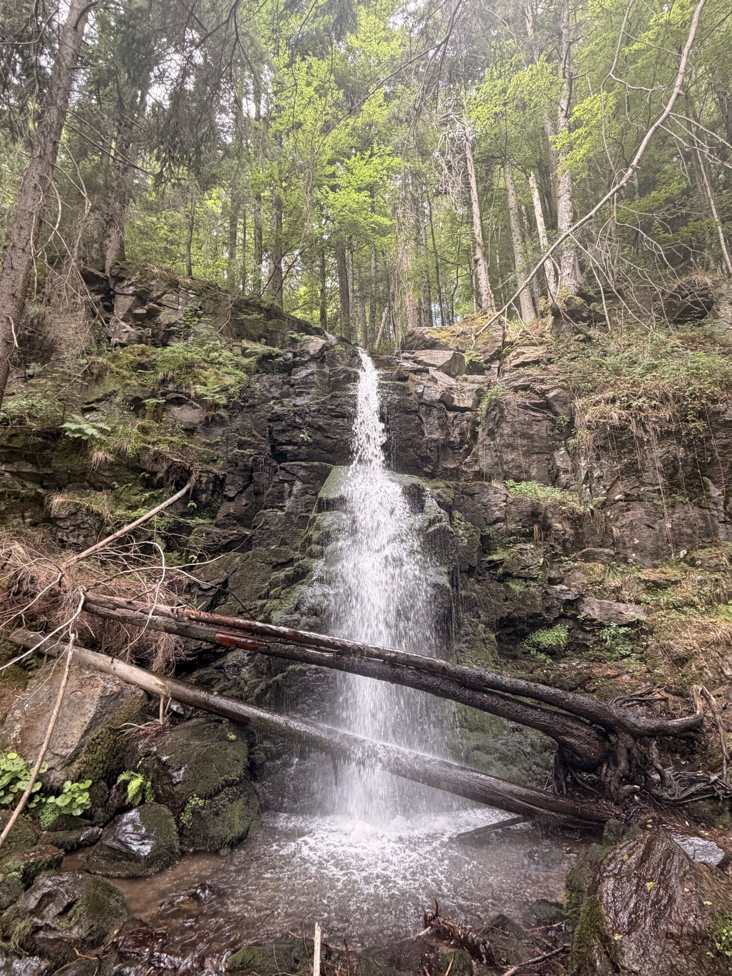
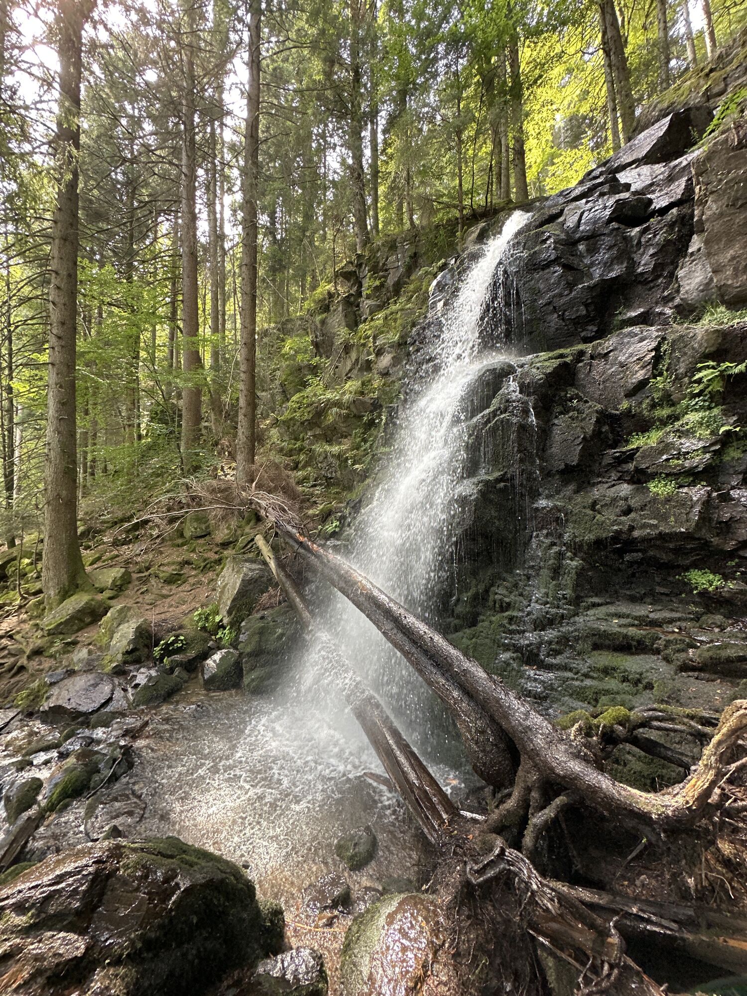
With beautiful views of the Wildgutach- and the upper Simonswälder valley this tour leads to the popular Zweribach waterfalls. Surrounded by a mystical "Bannwald", the waterfalls are idyllically situated...
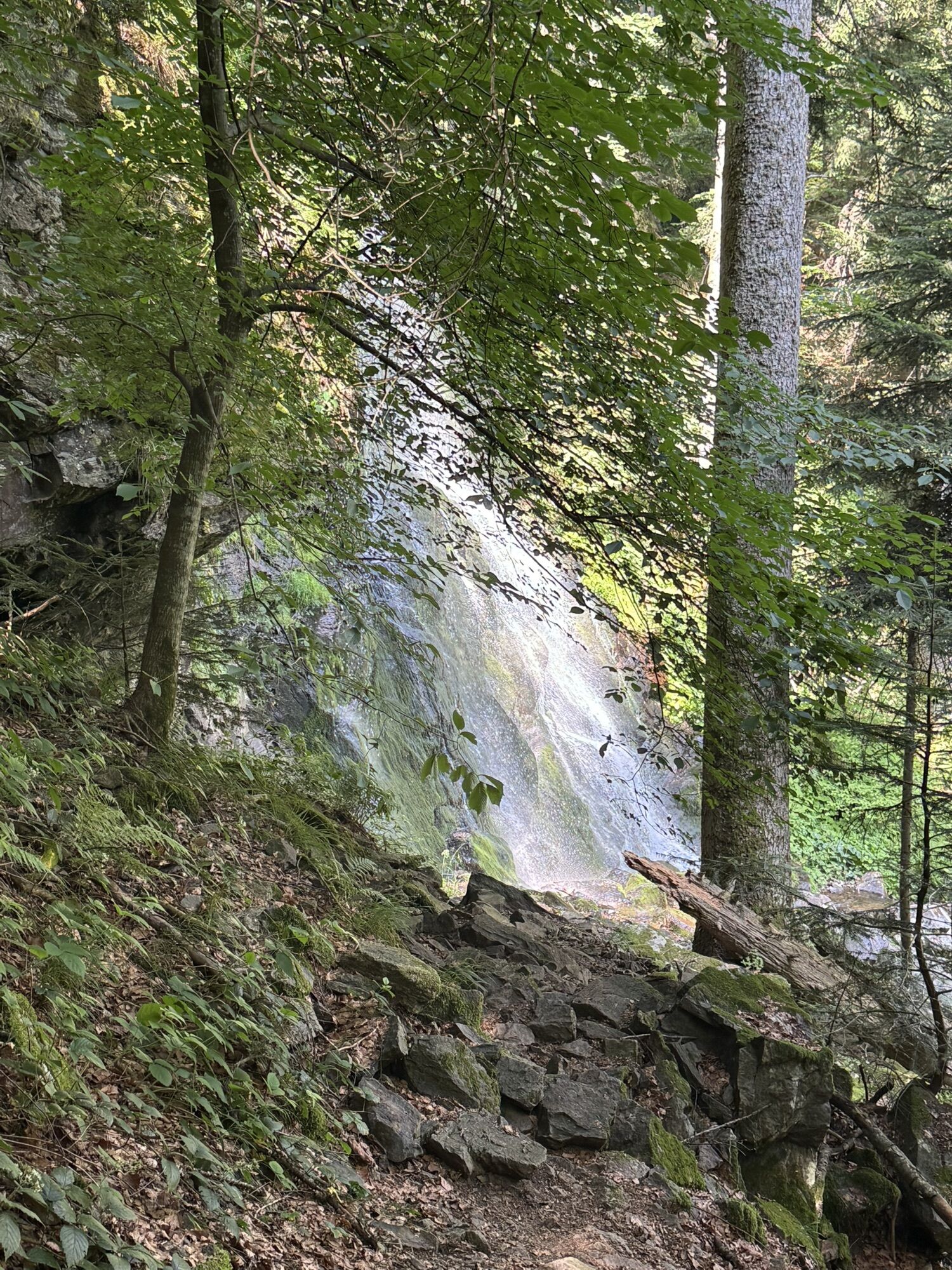
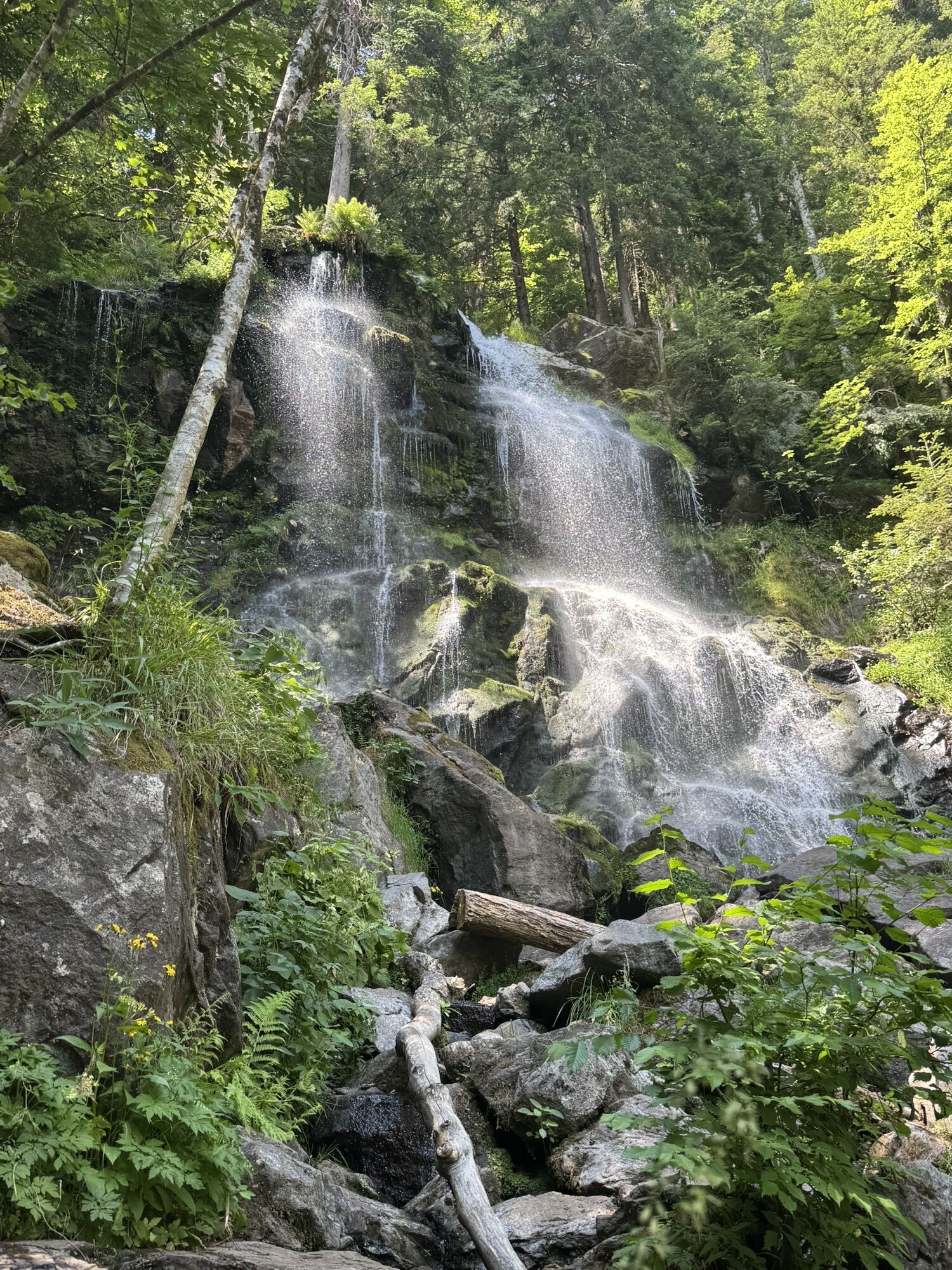
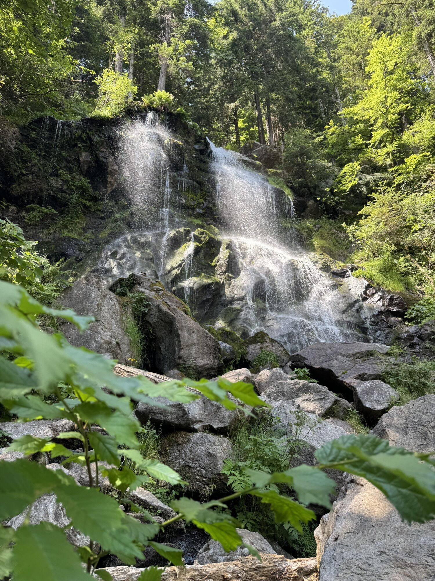
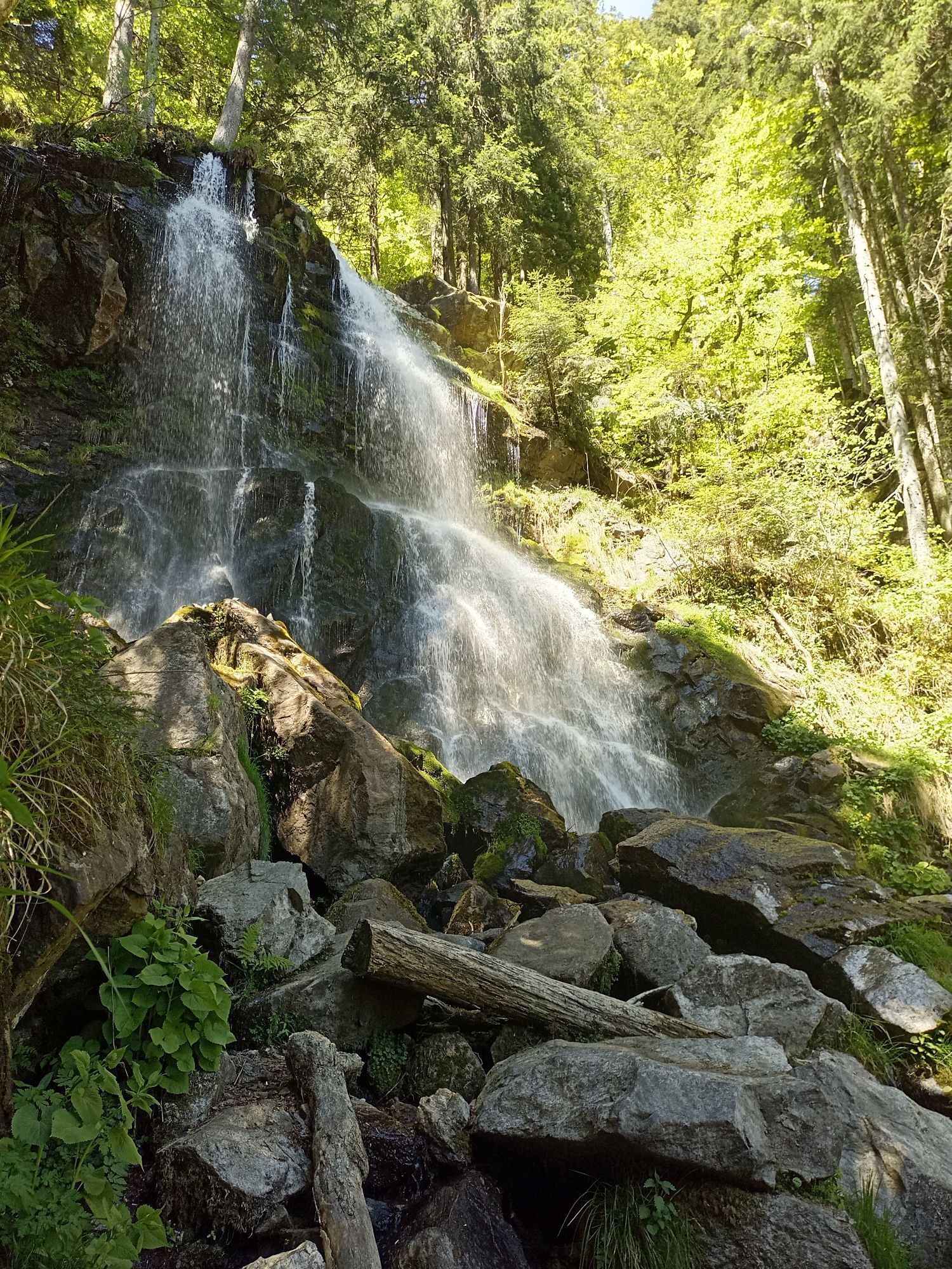
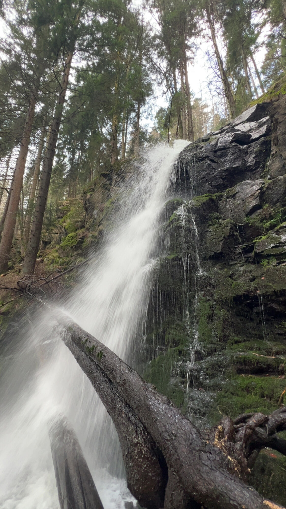
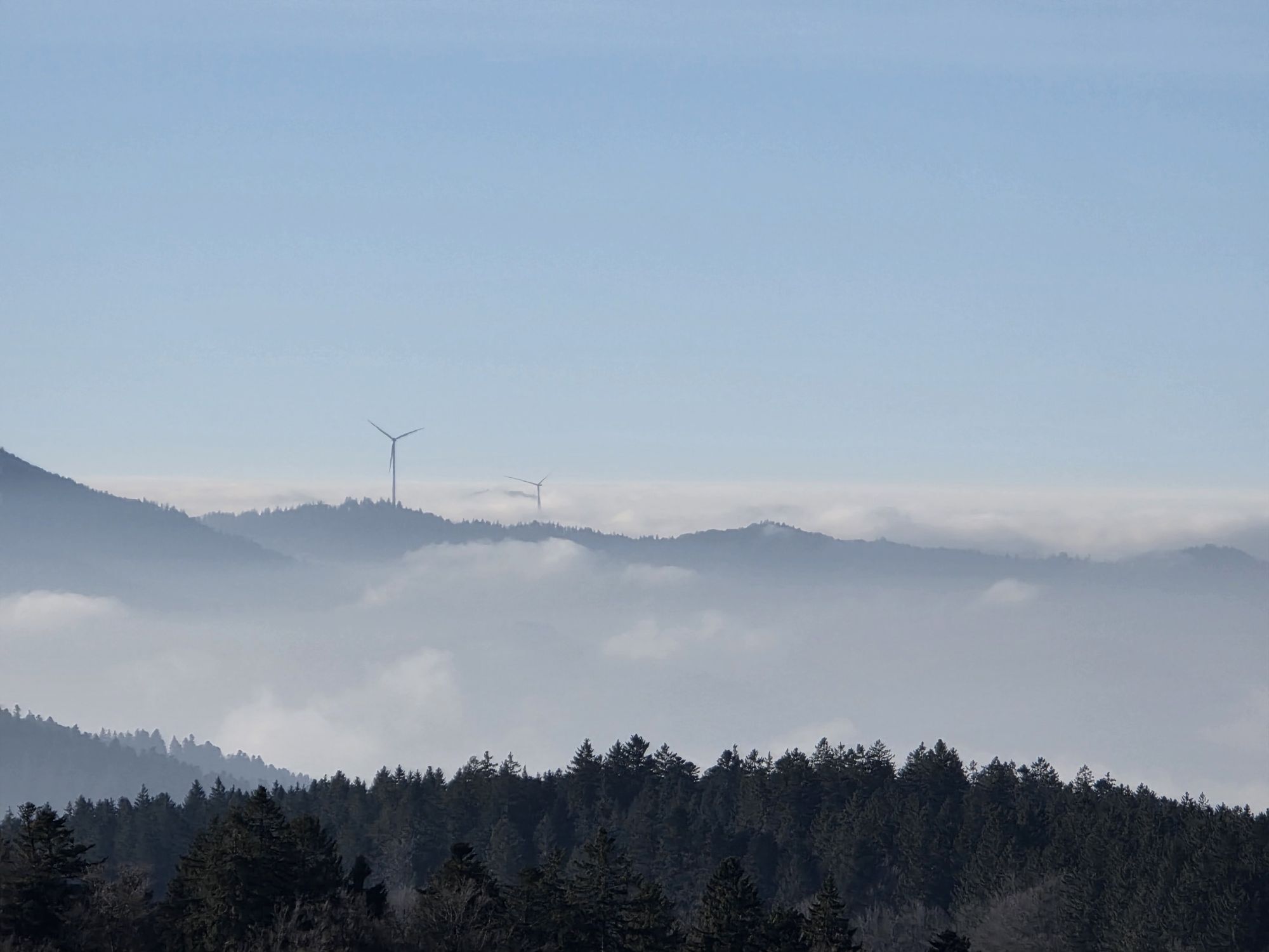
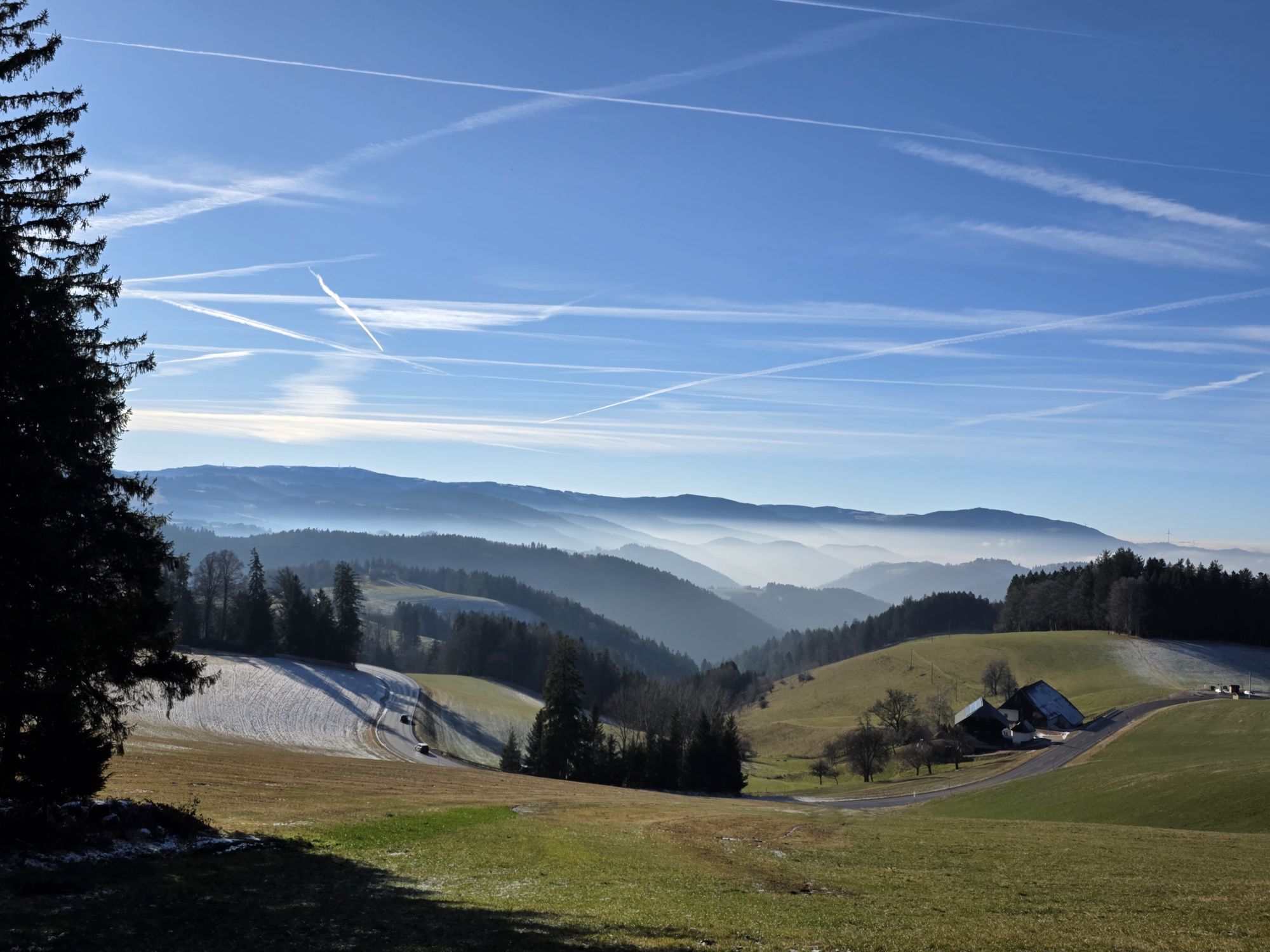
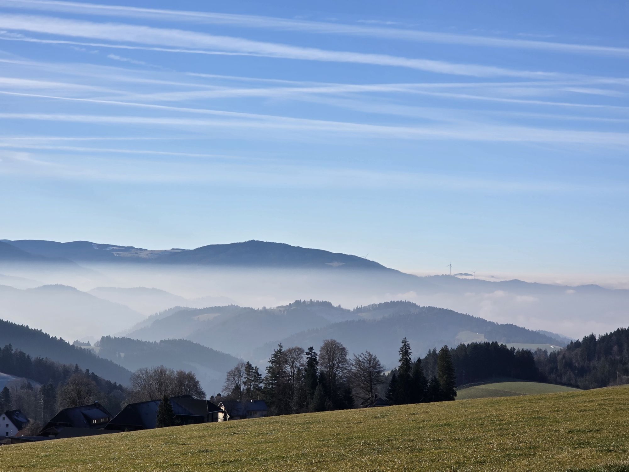
With beautiful views of the Wildgutach- and the upper Simonswälder valley this tour leads to the popular Zweribach waterfalls. Surrounded by a mystical "Bannwald", the waterfalls are idyllically situated in the middle of a nature reserve. Over several meters, the water crashes with full force into the Wild Gutach.

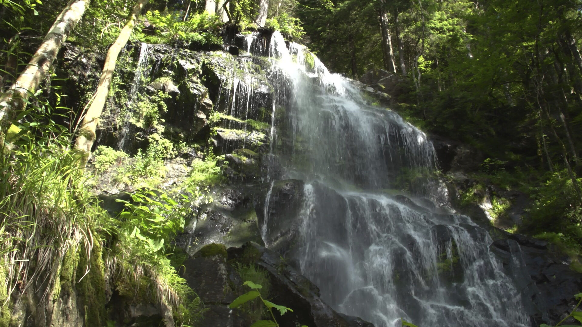
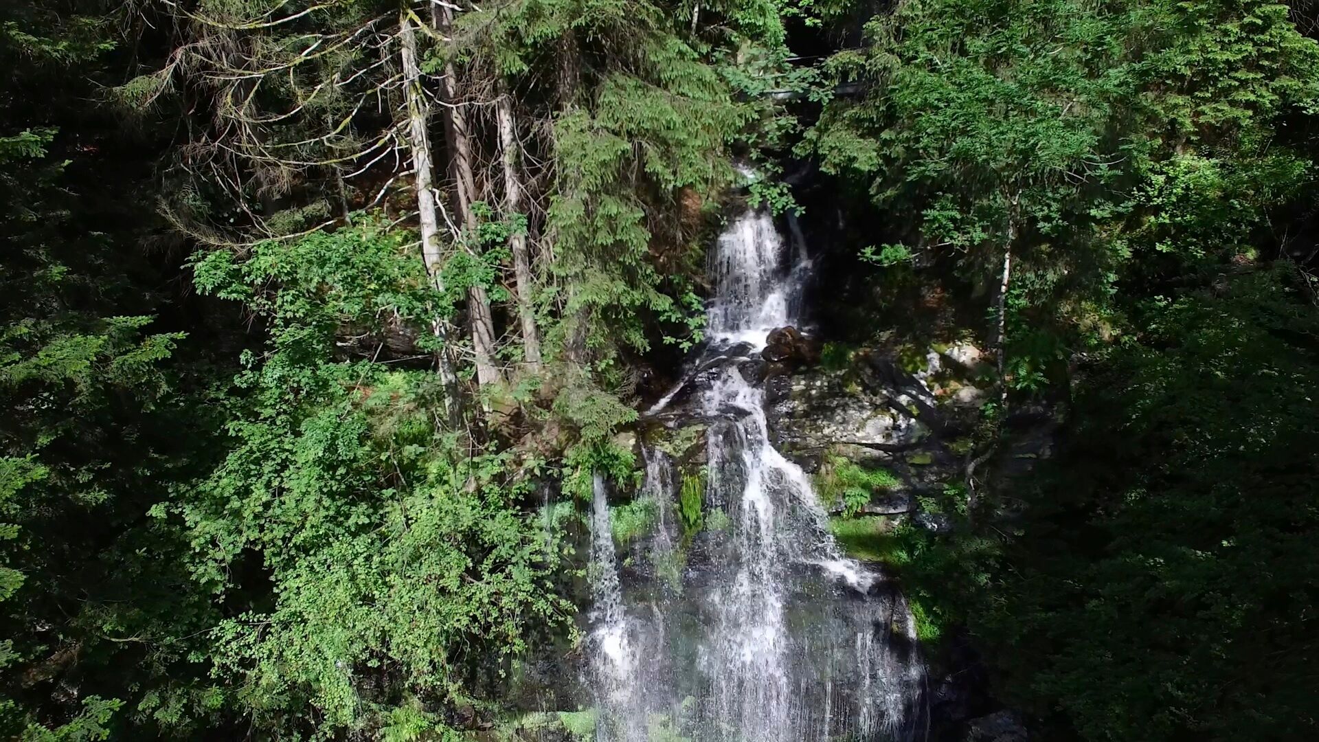
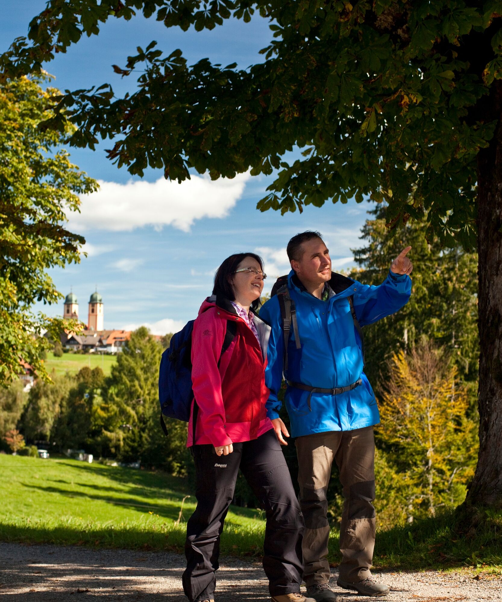
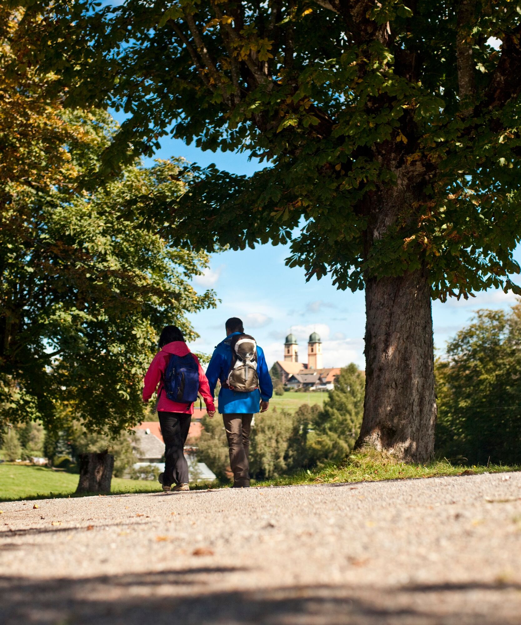
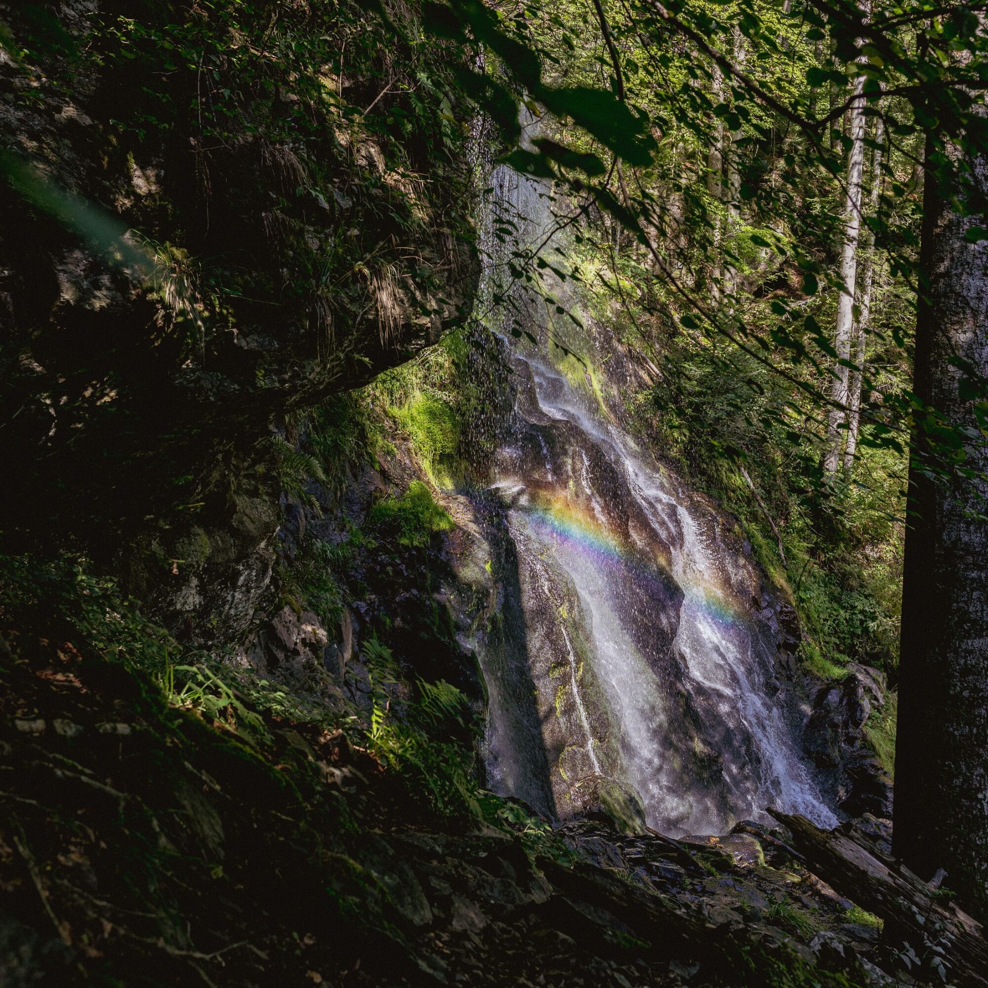
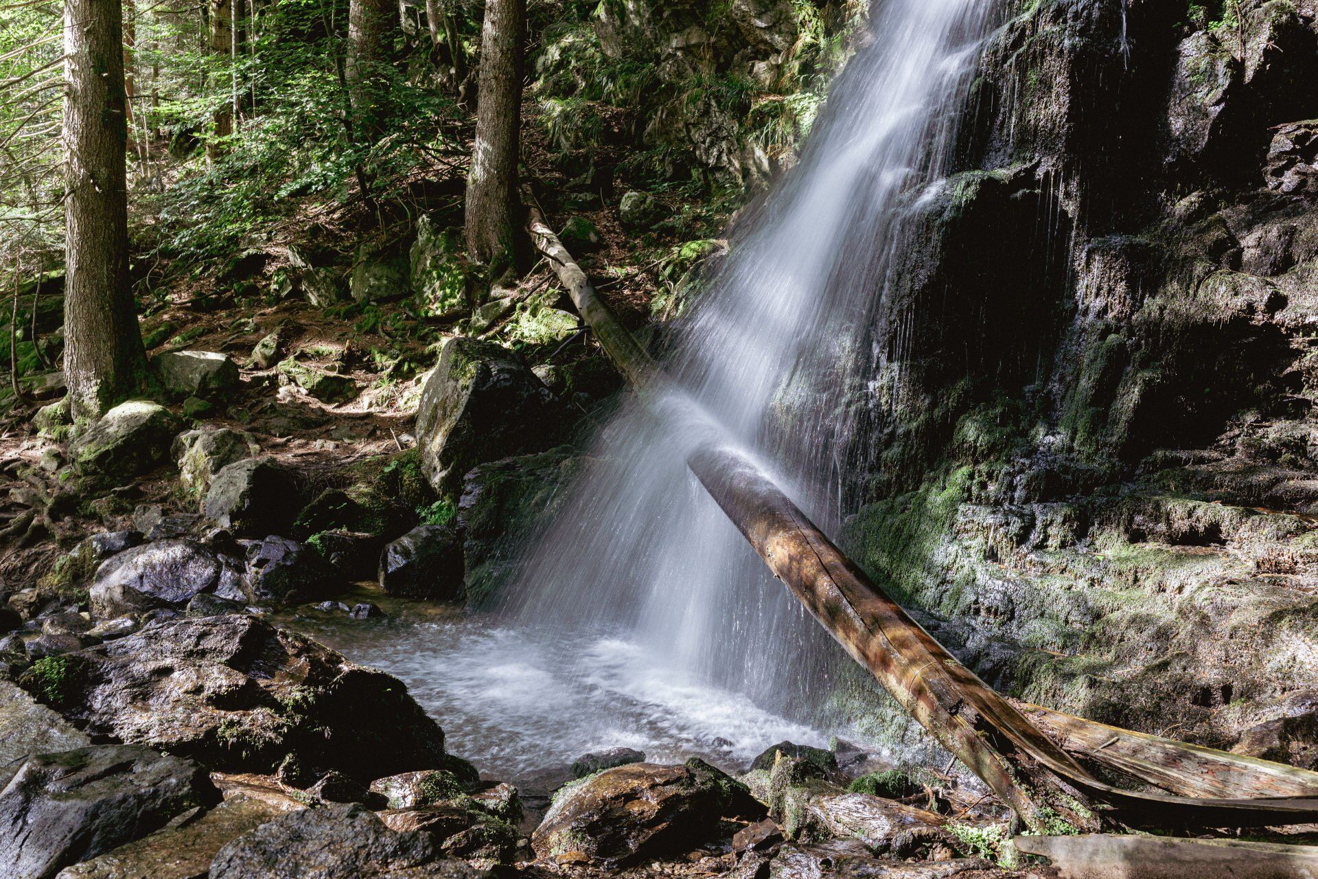
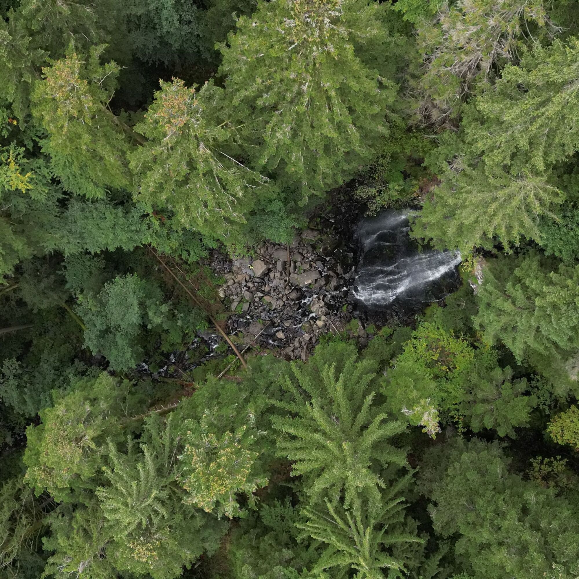
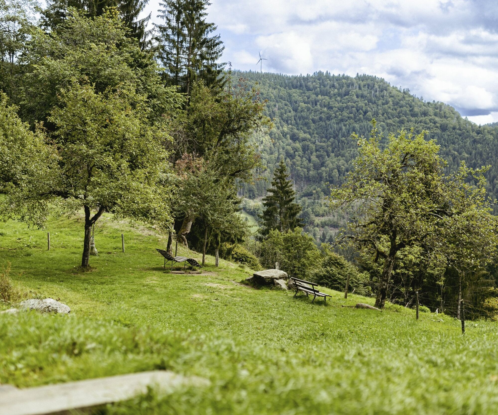

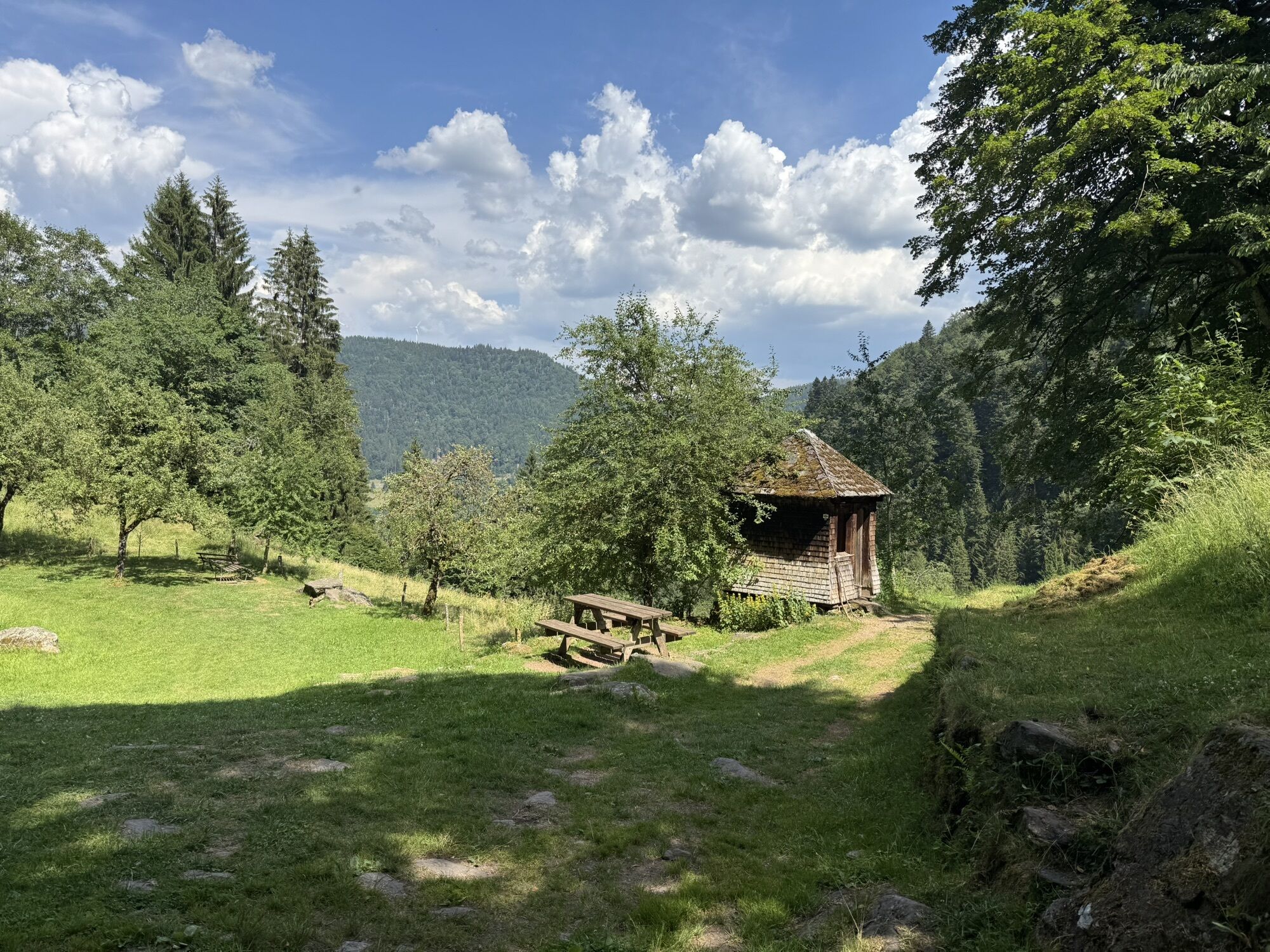
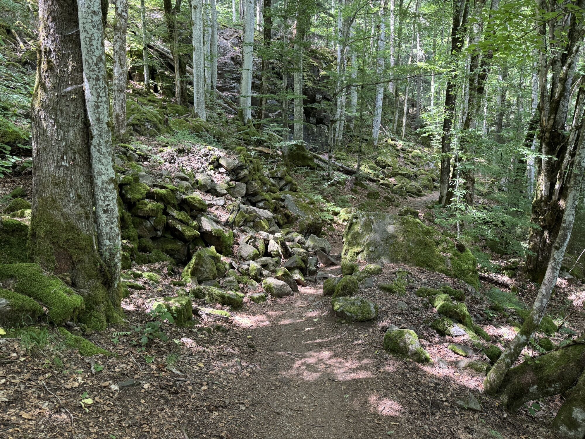
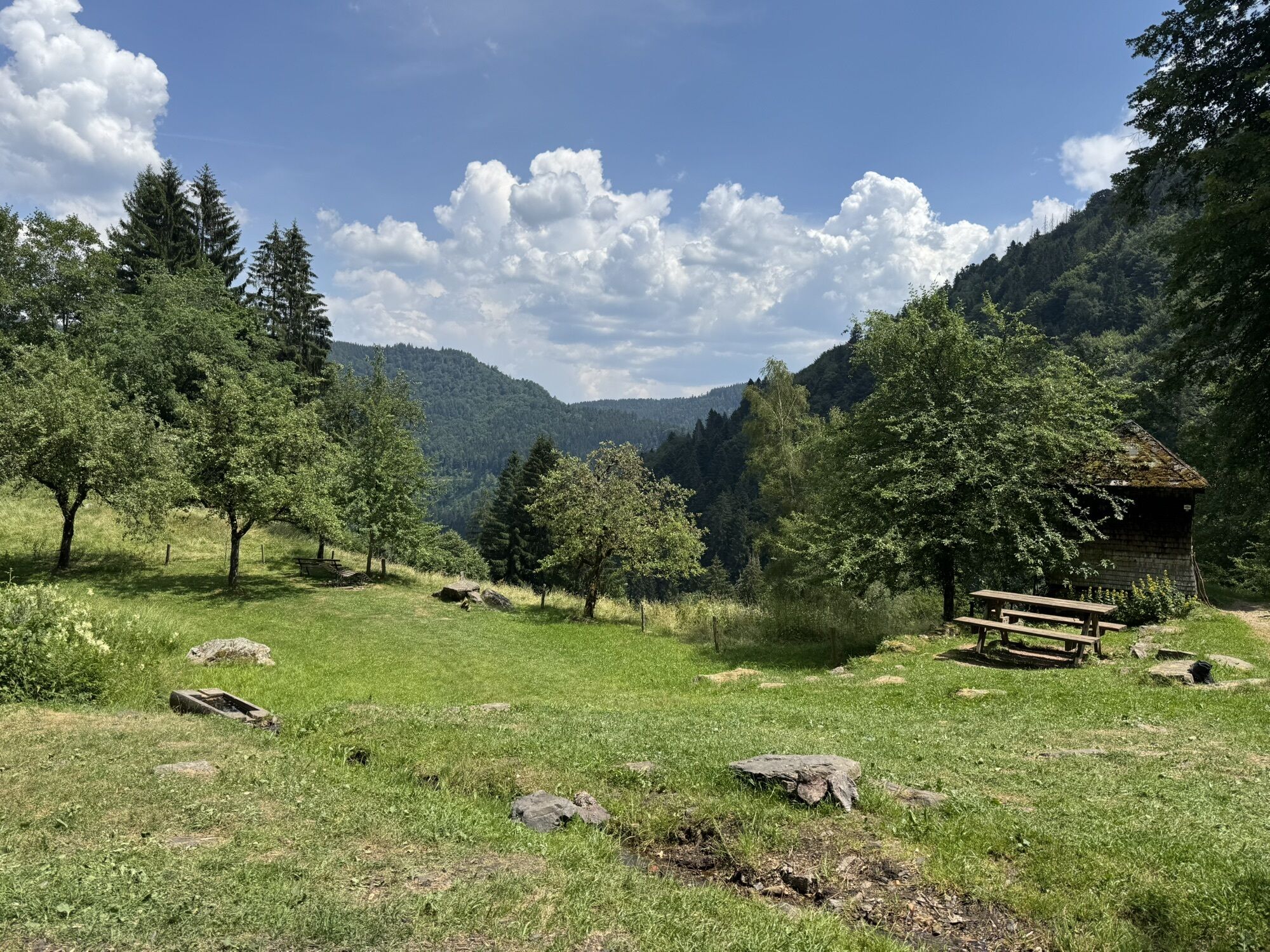
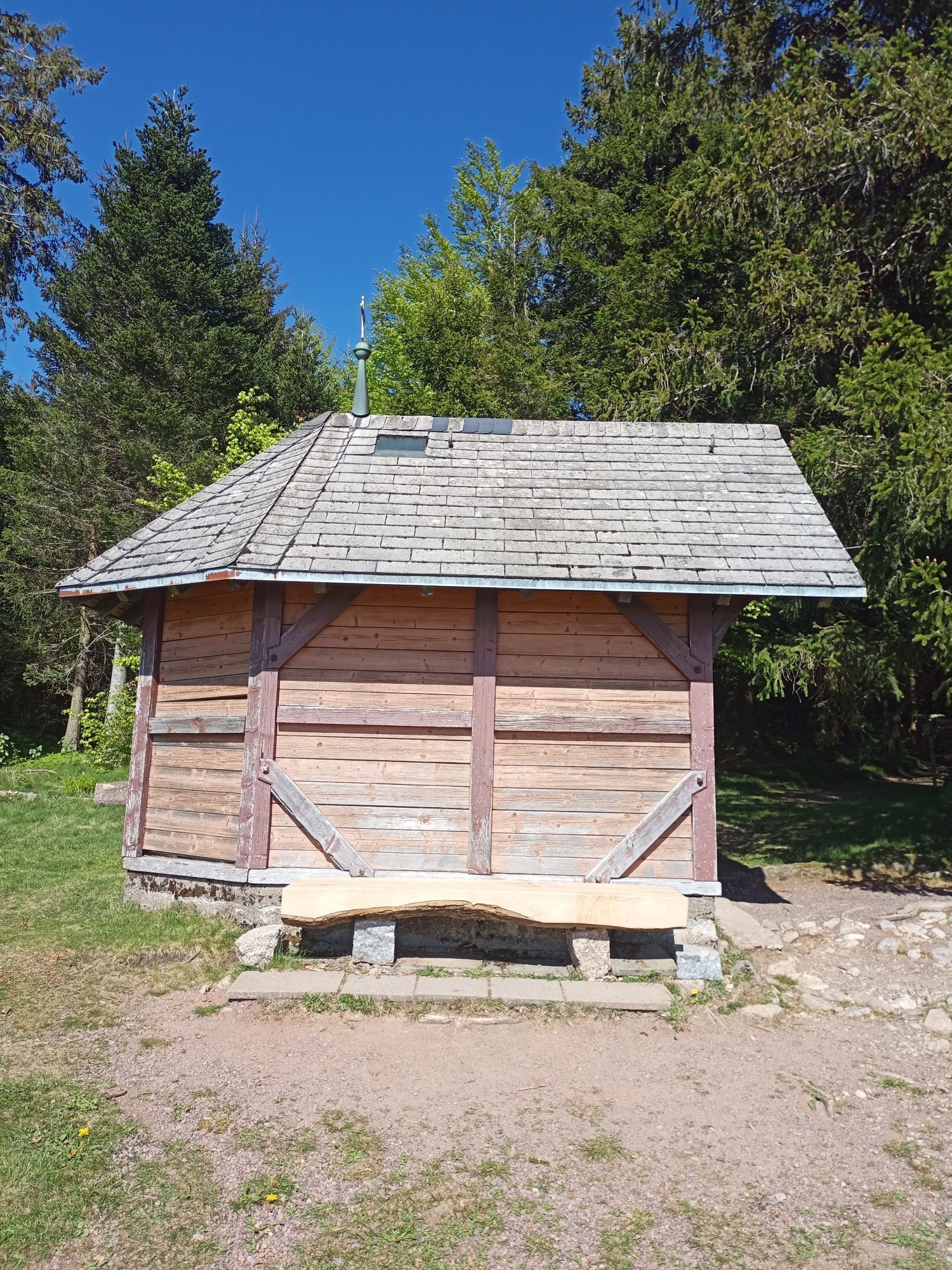
We start our tour to the waterfalls at the hotel Hirschen and follow the way over the promising land field. Past the well-known Rankmühle we reach after a short time the closed forest area of the Gutacherhalde. At the location "Bannwald Zweribach" we leave the broad forest path and walk on a narrow path right down the forest, past the promising Hohwartsfelsen to the Hirschbach Falls. Coming from the forest, we reach the former "Brunehof" a rest area with a refuge. For the Zweribach waterfalls we are now on a narrow path uphill. We do not cross the bridge between the lower and upper waterfalls, but follow the path on the left upwards. This path leads to the location "Stockbühl" in a wide forest road, which we turn to the left. Through closed forest area will soon reach the Gschwanderdobelhütte and the location "Hirschmatte". From there, follow the ravine further up to the right until we come out of the forest at the "Rote Kreuz". As we continue to Kapfenkapelle, we enjoy a magnificent view of St. Peter and a little later on St. Märgen. The rightly designated panorama path leads us back to St. Märgen.
Tak
We recommend sturdy shoes!
This hike requires sure-footedness. Special care should be taken when it is wet.
Von Freiburg:
B31 Richtung Titisee-Neustadt, dann die Ausfahrt Richtung St. Märgen/Buchenbach/Burg
Von Donaueschingen:
B31 Richtung Titisee-Neustadt/Hinterzarten, dann die Ausfahrt Richtung St.Märgen/Buchenbach/Burg
Von Lörrach:
A5 und B31 Richtung Titisee-Neustadt , Ausfahrt Richtung St. Märgen/Buchenbach/Burg
Von Freiburg:
Mit der S1 nach Hinterzarten, dann mit dem Bus 7216 Richtung Kirchzarten, Ausstieg St.Märgen Post.
Von Donaueschingen:
Mit der S10 nach Neustadt, umsteigen in die Bus 7216 Richtung St. Peter, Ausstieg St. Märgen Post.
Von Lörrach:
Mit der Bahn SBB87835 nach Basel Bad Bf, umsteigen in den ICE 100 Richtung Dortmund, ausstieg Freiburg. Dann S11 nach Kirchzarten und mit dem Bus 7216 Richtung St. Märgen, Ausstieg St. Märgen Post.
Parkplatz Hausmatte St. Märgen, Wagensteigstraße 19, 79274 St. Märgen
A detour to the "plate" and the Plattenhof worth it. For an excellent snack, we gladly accept the additional 1.5 km per way.




Popularne wycieczki w okolicy
- 4,7
Black Forest Highlands heritage trail - mills and saws in the gorge
średniWędrówka 7,42 km - 4,3
Ravennaschlucht
Wędrówka 6,90 km - 5,0
Rund um den Kandelgipfel mit tollen Ausblicken
średniWędrówka 7,46 km - 5,0
Old chapels and churches in the Ravenna Gorge
średniTrasa pielgrzymki 15,7 km - 4,5
Potsdamer Platz - Hirschbachfälle- Zweribachfälle - Plattenhof
średniWędrówka 9,34 km - 3,0
Thurner Panorama Trail
średniWędrówka 11,8 km Hike to the Zweribach waterfalls
średniWędrówka 7,32 km- 4,7
Genießerpfad - U(h)rwaldpfad Rohrhardsberg
średniTrasa tematyczna 8,72 km - 4,0
Triberger Wasserfälle naar Prizen
średniWędrówka 11,5 km Panorama Trail from St. Märgen to St. Peter
średniWędrówka 8,63 km

Wędrówki i tropienie


Nie przegap ofert i inspiracji na następne wakacje
Twój adres e-mail została dodana do listy mailingowej.





