






Circular route through the Lotenbach Gorge
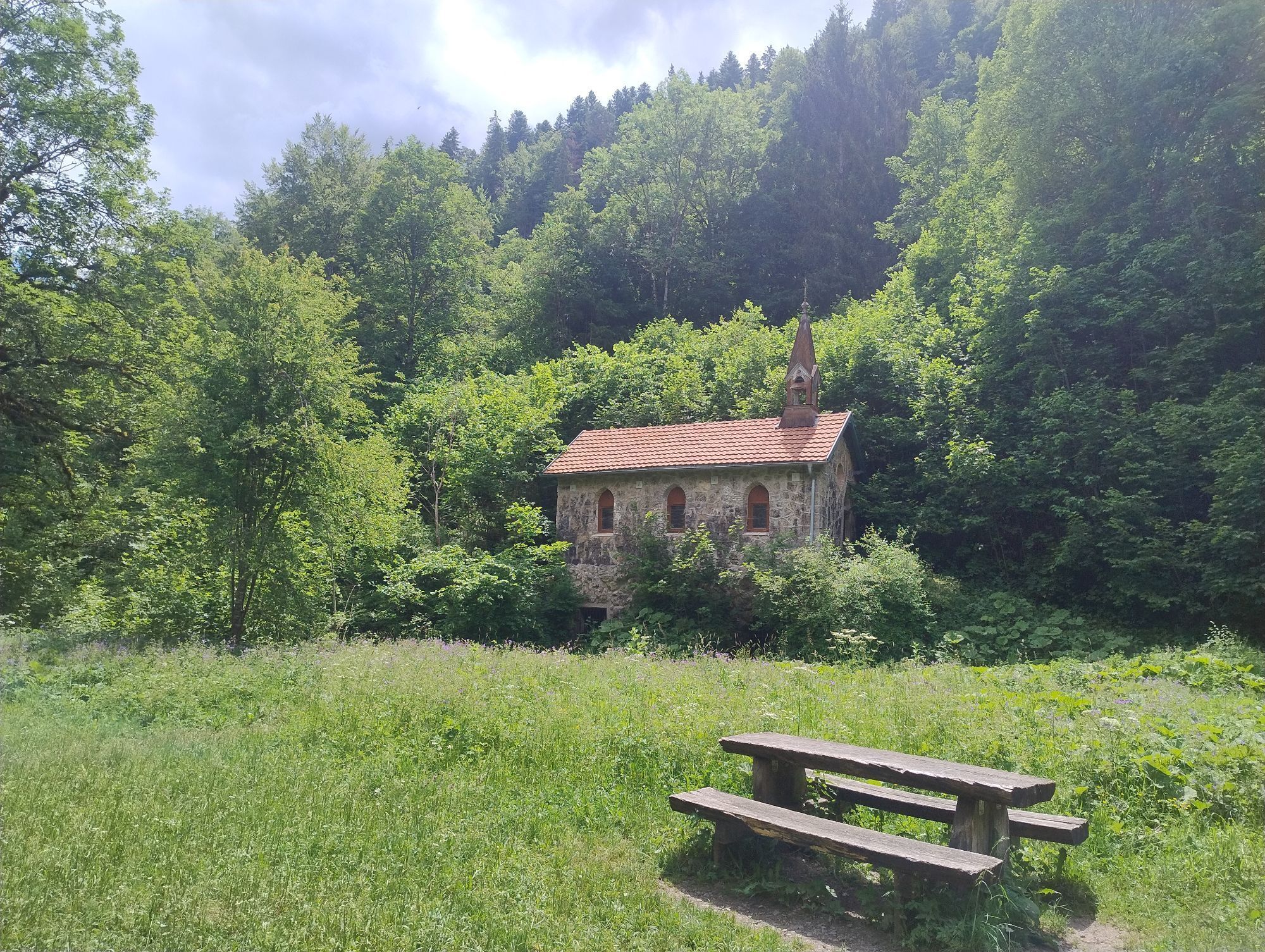
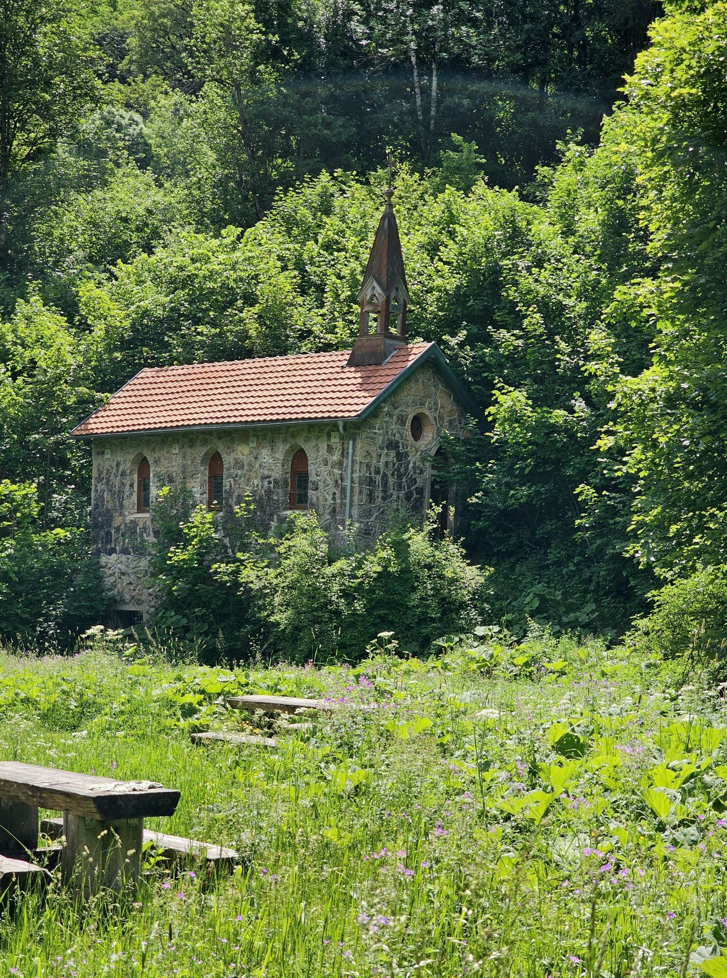
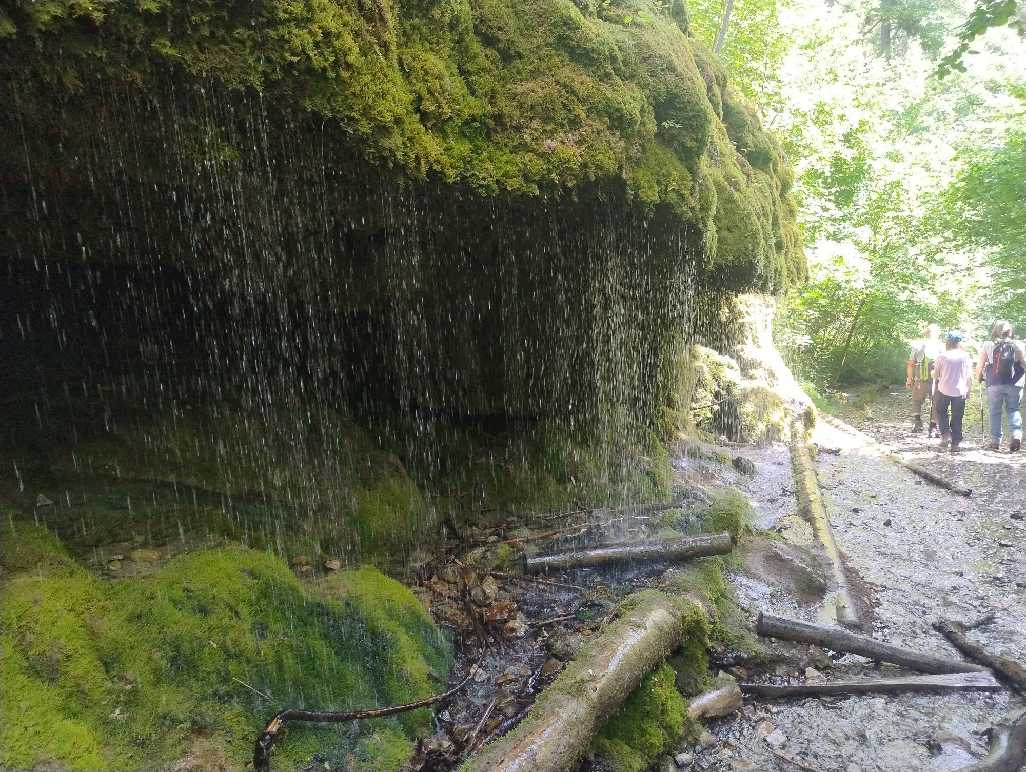
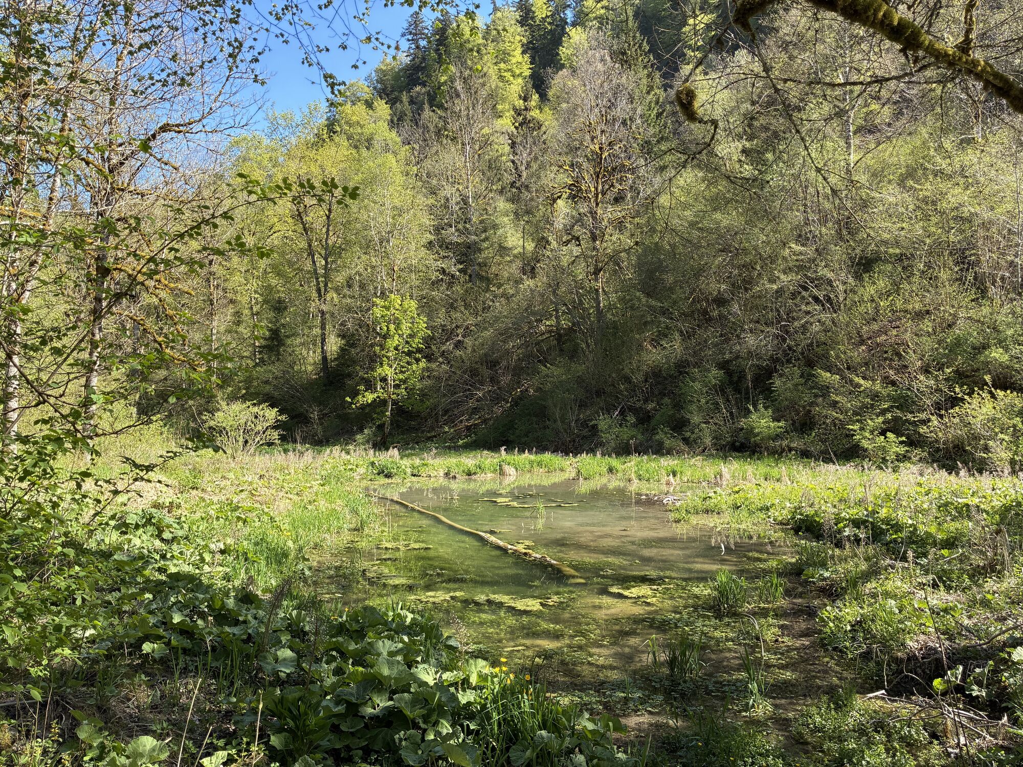
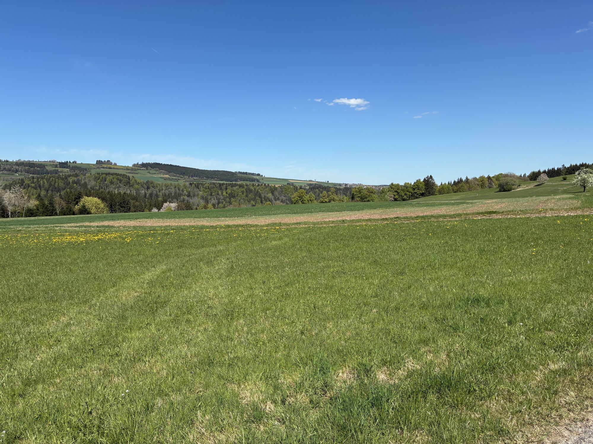
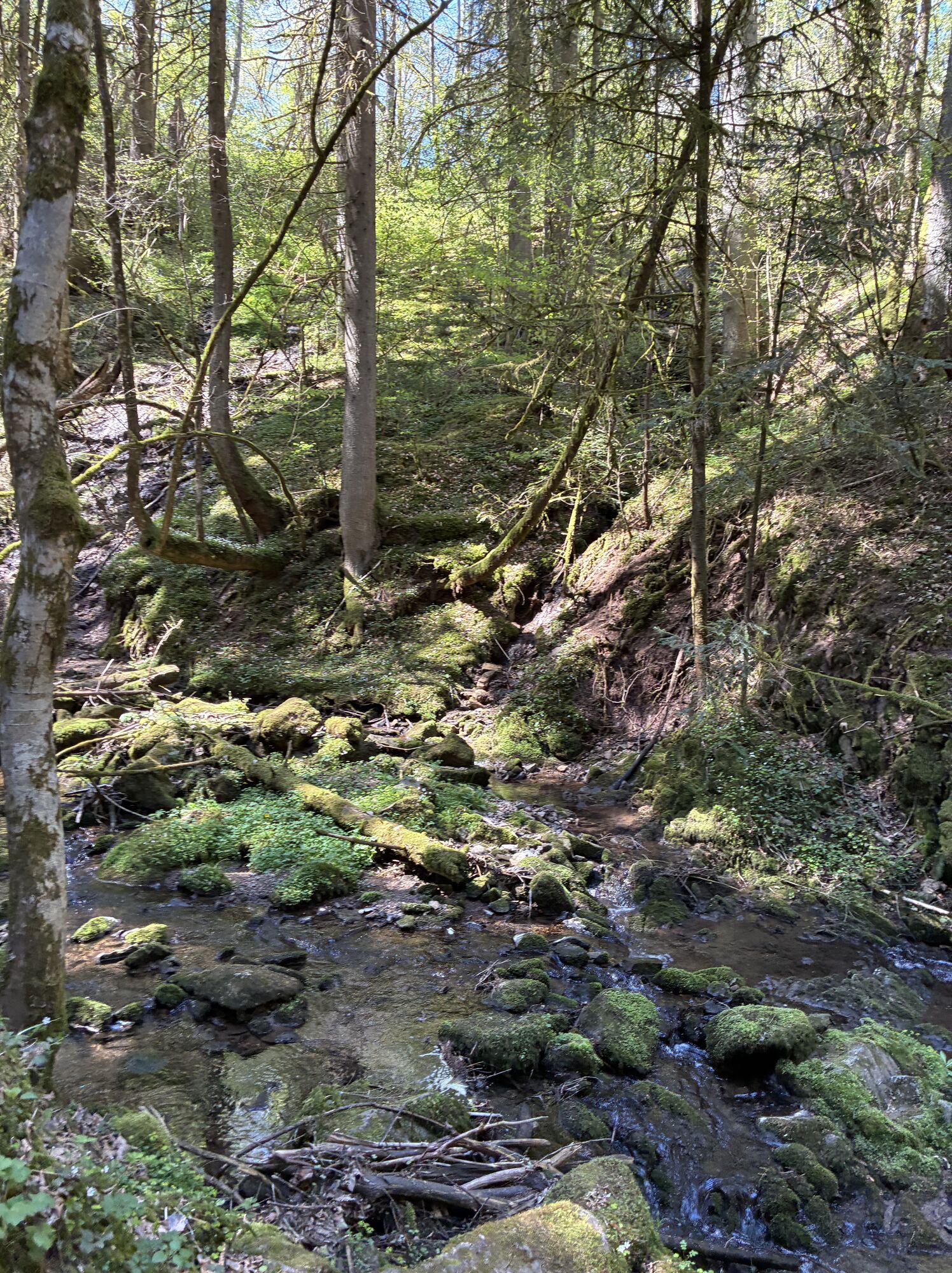
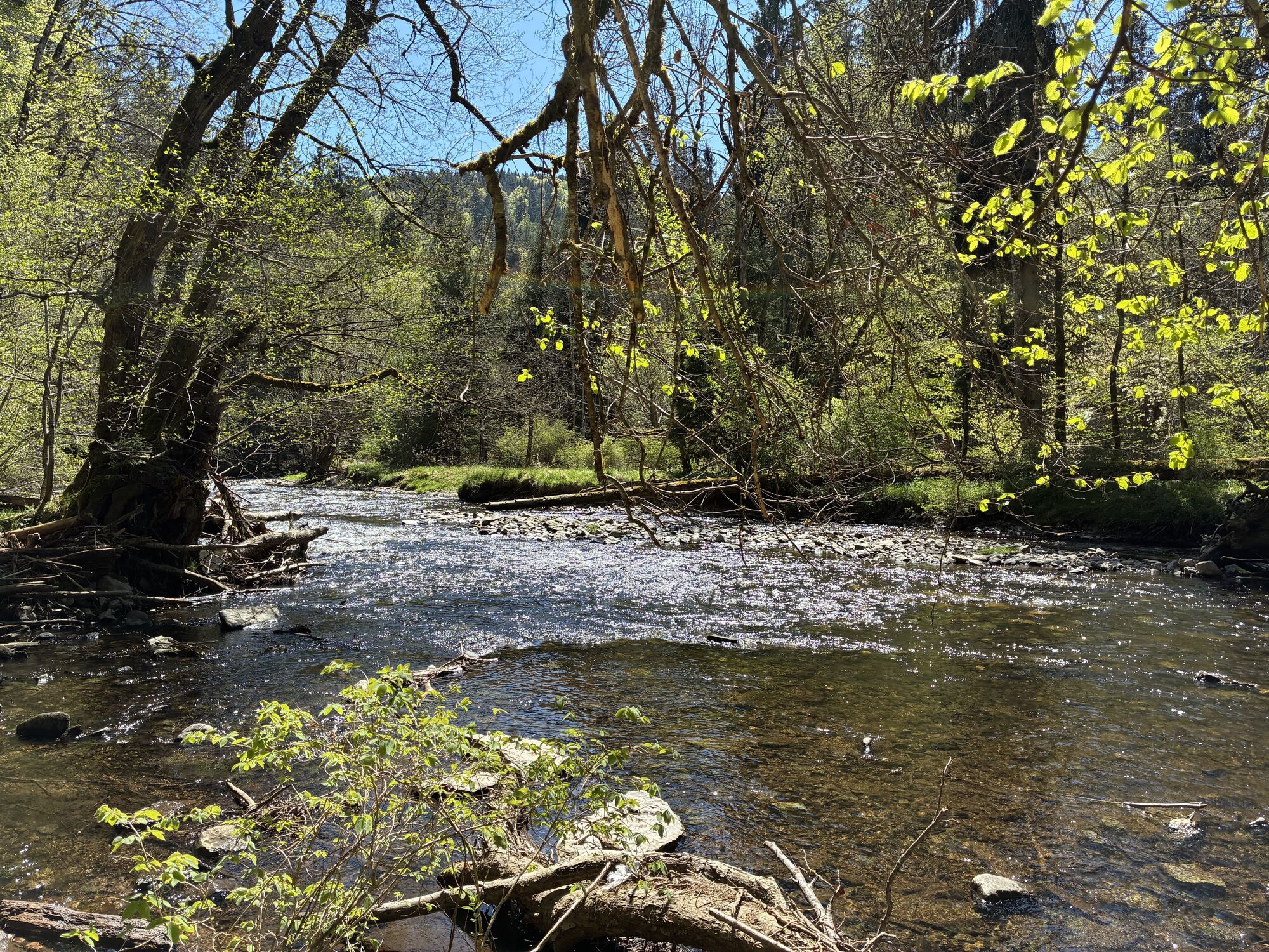
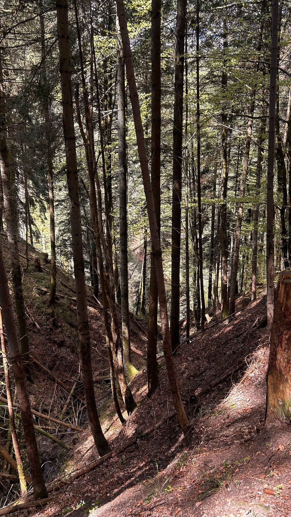
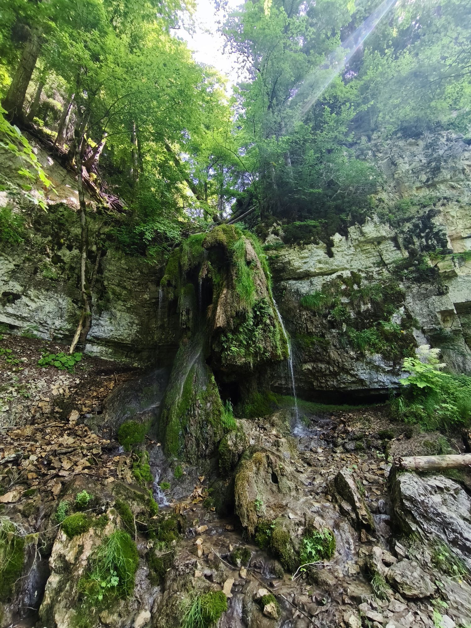
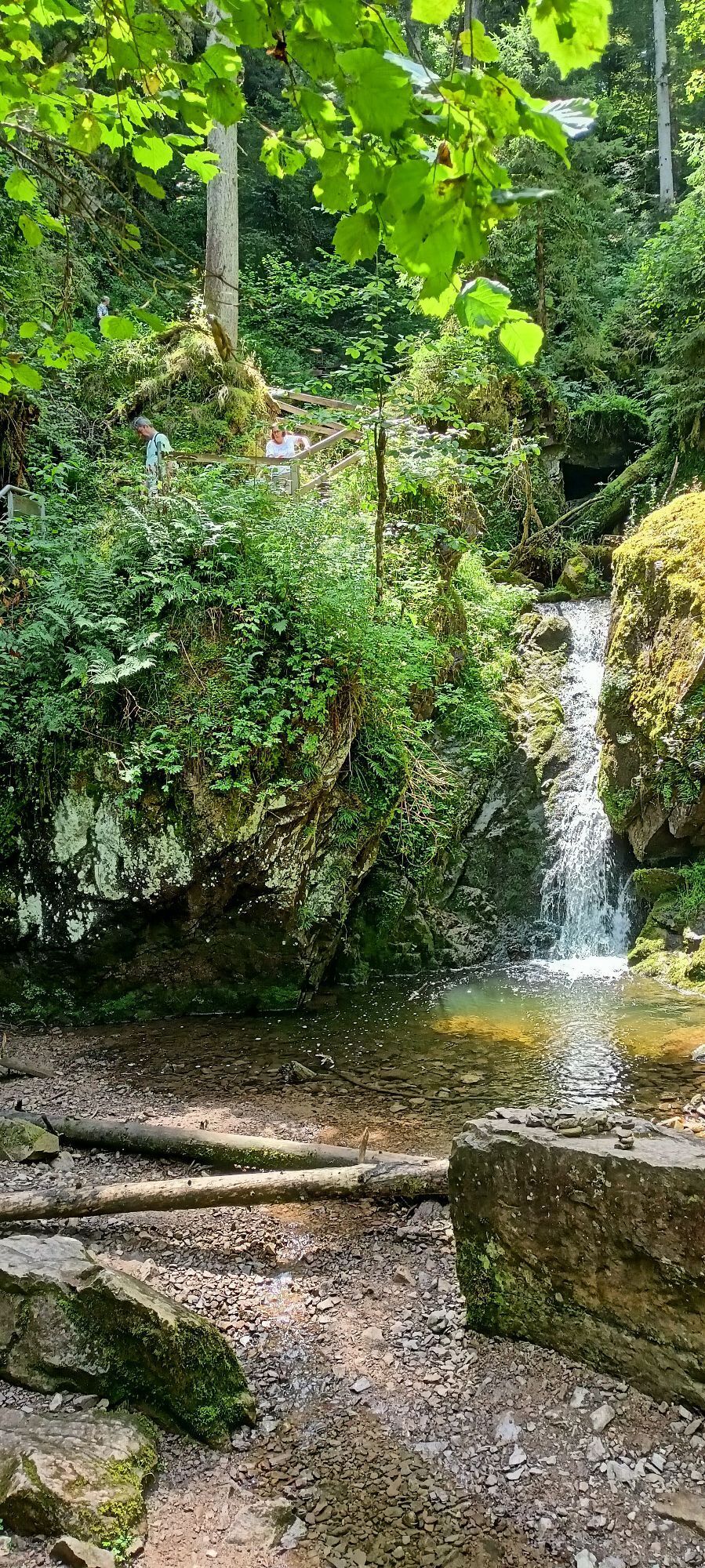

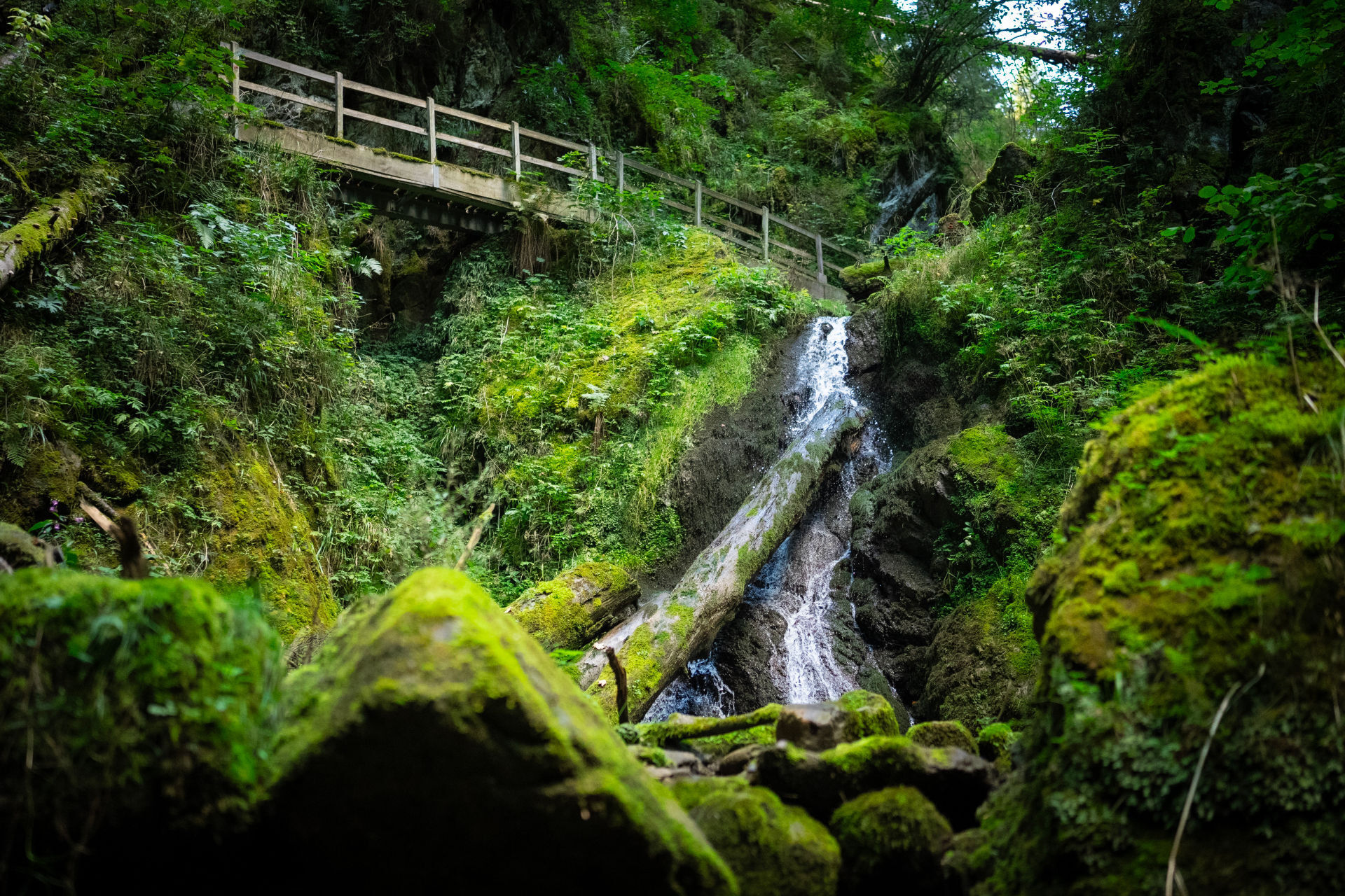
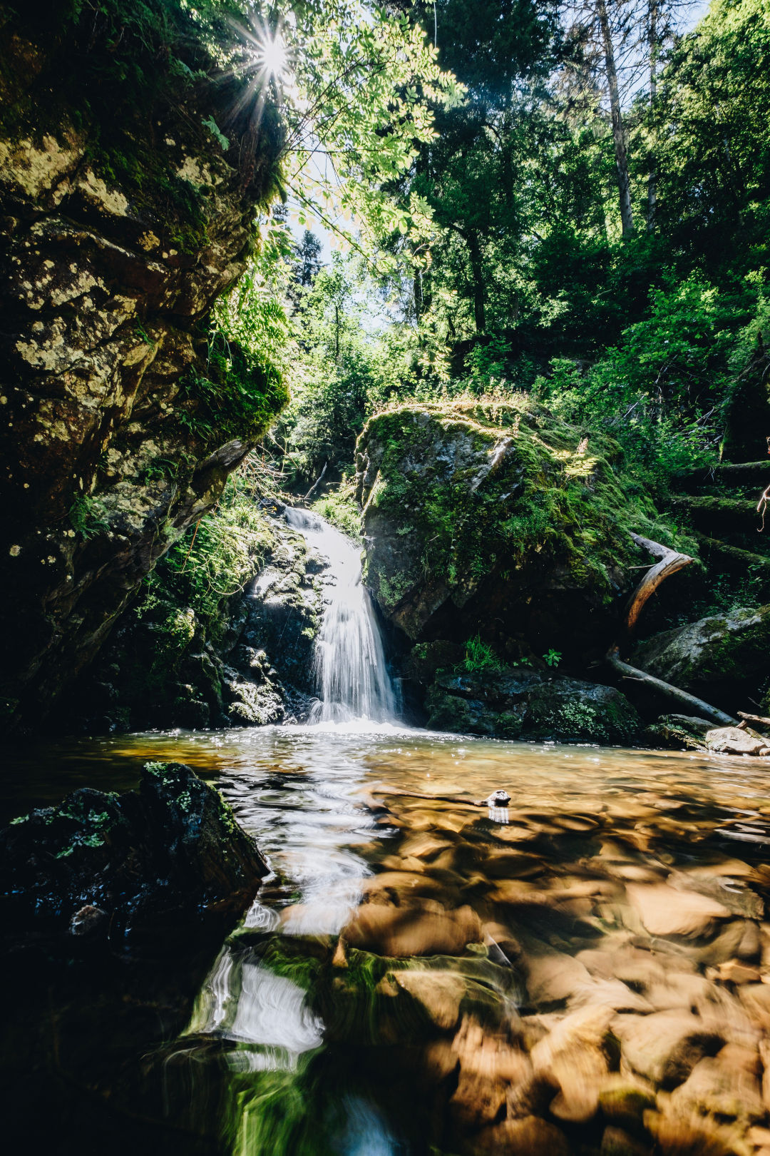
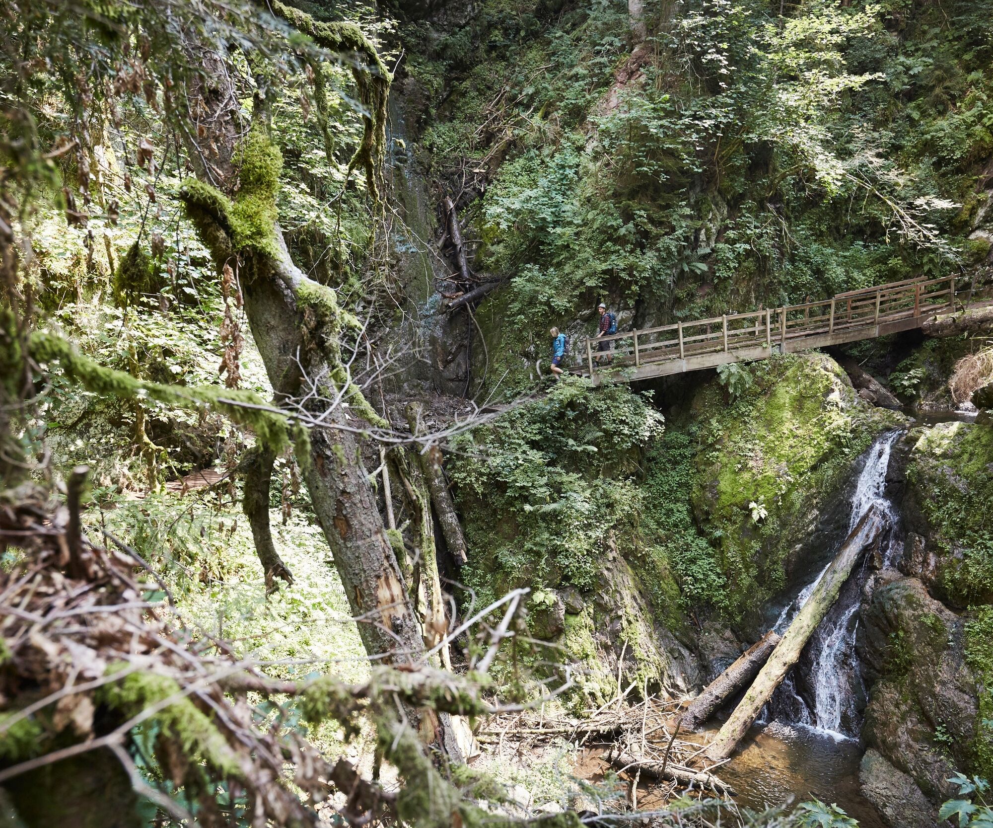

This circular hike starts at the Schattenmühle hiking car park. At the end of the car park, you will find signposts towards the Lotenbach Gorge. Follow this small but wild gorge about 1.5 km uphill. You will encounter narrow paths, several staircases, and wooden bridges. Above all, this nature reserve offers some spectacular perspectives. Once at the top, you must immediately turn left and cross the L170. Follow the Tiefentalweg and enjoy an extensive view over the Wutach Gorge. Upon arriving at Boll, you must pass the church and turn into Wutachstraße. After passing through the village, you must take the path on the right after the parking lot back into the Wutach Gorge. On narrow paths, you quickly reach the bottom of the Wutach Gorge at the historic Bad ruin. Discover the old chapel of the former spa town. Take this opportunity to have your snack break at the rest area.
Continue the hike by crossing the Wutach over the Fritz-Hockenjos bridge. Shortly after, you must turn left on the main path. Always follow the signs toward Schattenmühle until you arrive back at the starting point at the hiking car park.
The highlight at the end: Take your time for a well-deserved meal at the restaurant of the Schattenmühle to round off an impressive hiking day.
Tak
Sturdy footwear and packed food, surefootedness, and a head for heights are absolutely necessary.
The gorges are divided into different rescue sectors, all of which are signposted. In emergencies, these allow the mountain rescue service to locate your position better and faster. Please always pay attention to which sector you are in.
Since you do not always have mobile phone reception in the gorges, you may need to exit the gorge or walk further along it to be able to contact the mountain rescue from there.
Please absolutely observe the recommended direction of travel! Current path information at www.wutachschlucht.de
The Wutach Gorge is not suitable for strollers, but can be walked with children if they are surefooted and not afraid of heights.
The path is suitable for dogs. Due to the grid steps and narrow paths, please keep your dog on a leash and watch out for other hikers.
The paths are mostly very wet and slippery, so caution is advised on the narrow paths.
Please observe the signs on the hiking trail. Exact and detailed information about the signs and the hiking guidance system can be found on our website. In emergencies, call 112.
Current schedules for the hiking bus at wutachschlucht.de
Along the way, you will discover the former spa town with the ruins of Bad Boll.
Kamery internetowe z trasy
Uzyskaj wgląd Zawsze na żywo z ponad 9 500 kamer internetowych. bergfex Jako użytkownik Pro, możesz teraz zobaczyć odpowiednie kamery internetowe dla wielu wycieczek w aplikacji wycieczki od. Pozwala to na bezpośredni podgląd aktualnych warunków. Popularne wycieczki w okolicy
- 4,7
Wutachschlucht Rundwanderung im Süd Schwarzwald
średniWędrówka 9,76 km - 3,9
From Titisee to the Hochfirst with its stunning views
średniWędrówka 10,6 km - 5,0
Premium Hiking Trail - 3-Schluchten Tour
średniTrasa tematyczna 9,62 km - 4,7
Seerundweg Schluchsee
średniWędrówka 17,7 km - 5,0
Wutachschlucht+Lotenbachklamm
światłoWędrówka 10,0 km - 3,5
Premium Hiking Trail - Rappenfelsensteig
średniTrasa tematyczna 12,9 km - 4,5
Premium Hiking Trail - Rötenbach Gorge
średniTrasa tematyczna 10,1 km - 4,4
Wutach, Deutschland
średniWędrówka 14,6 km - 5,0
Premium Hiking Trail - Schluchseer Jägersteig
średniTrasa tematyczna 11,5 km - 5,0
Schluchsee tour for families
światłoJazda na rowerze 17,8 km
Wędrówki i tropienie


Nie przegap ofert i inspiracji na następne wakacje
Twój adres e-mail została dodana do listy mailingowej.





