






Rundweg Apfelwiesen
Poziom trudności: T1
You can set off on beautiful hiking trails in Göppingen: The Göppingen circular hiking trails entice you with impressive views, varied landscapes and impressive nature. Seven circular hiking trails, between...
You can set off on beautiful hiking trails in Göppingen: The Göppingen circular hiking trails entice you with impressive views, varied landscapes and impressive nature. Seven circular hiking trails, between 3.5 and 23 kilometers long, offer hiking fun for almost every taste.
The "Apfelwiesen" circular trail from Göppingen to Heiningen and Eschenbach is around 15 kilometers long and can be started from Göppingen railroad station. Along the way, you will pass many orchards and fruit trees. The tour runs from Göppingen to Heiningen via Eichholz to Eschenbach and back to the starting point.
ipunkt in the town hall
Hauptstraße 1 | 73033 Göppingen
07161 650-4444 | ipunkt@goeppingen.de | www.goeppingen.de

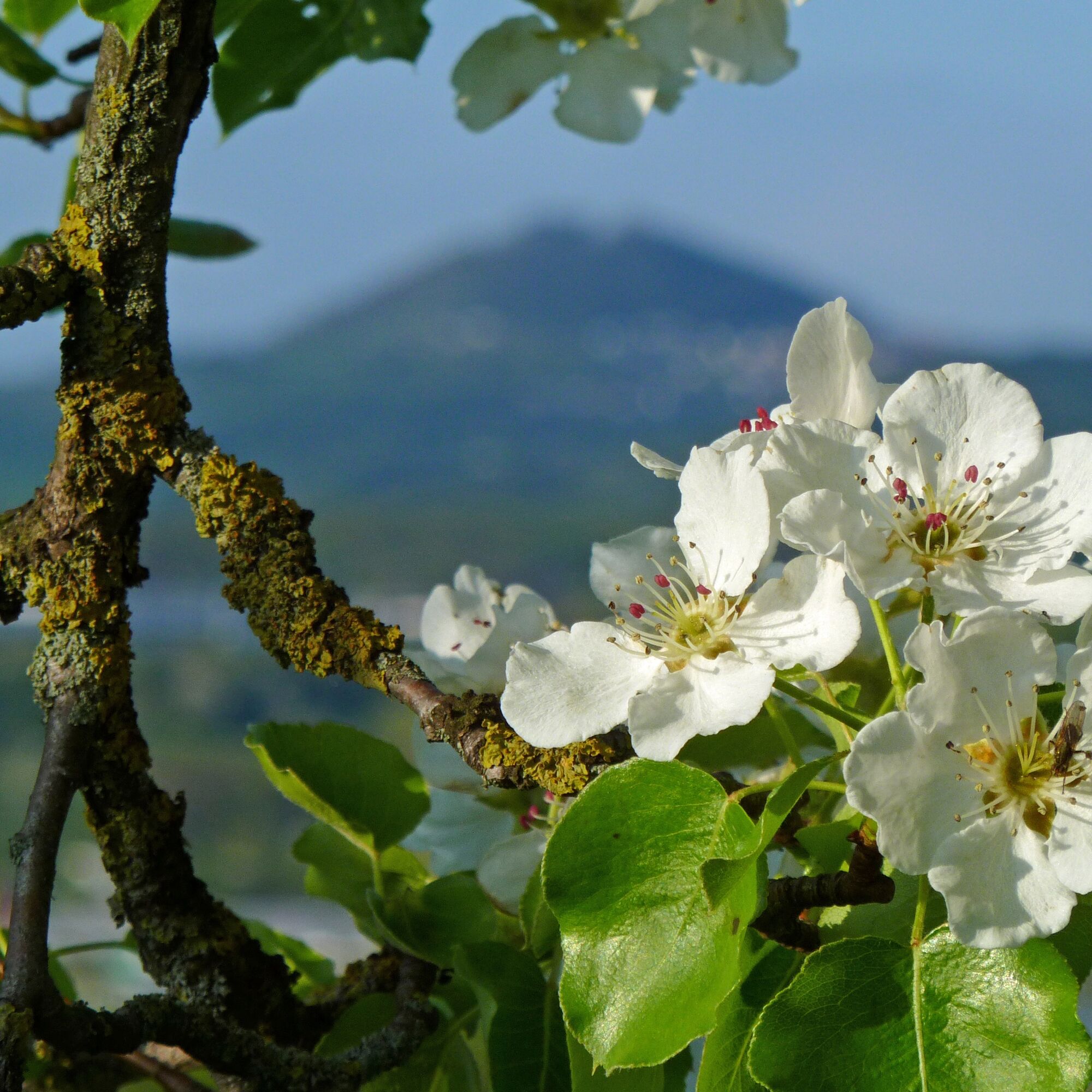
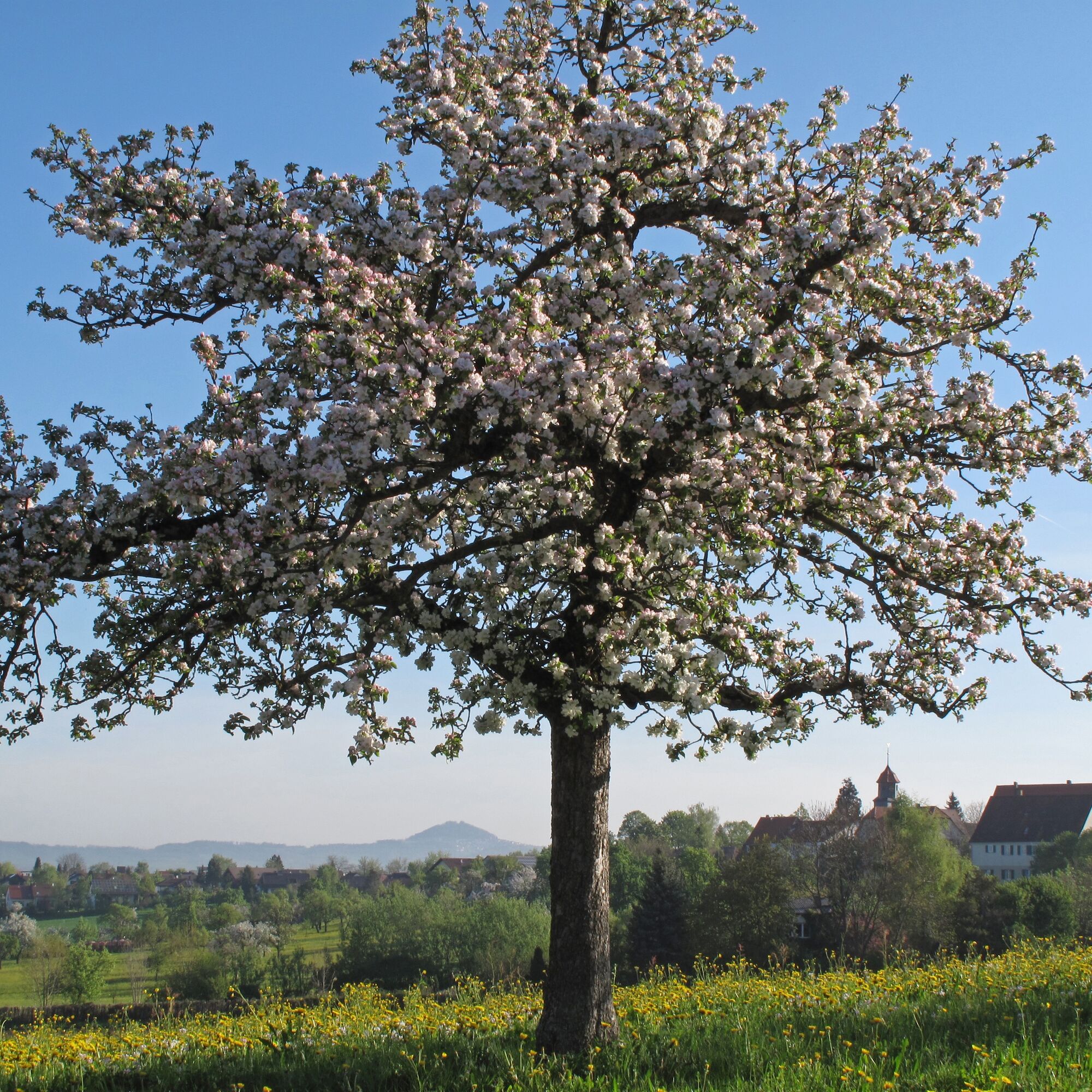
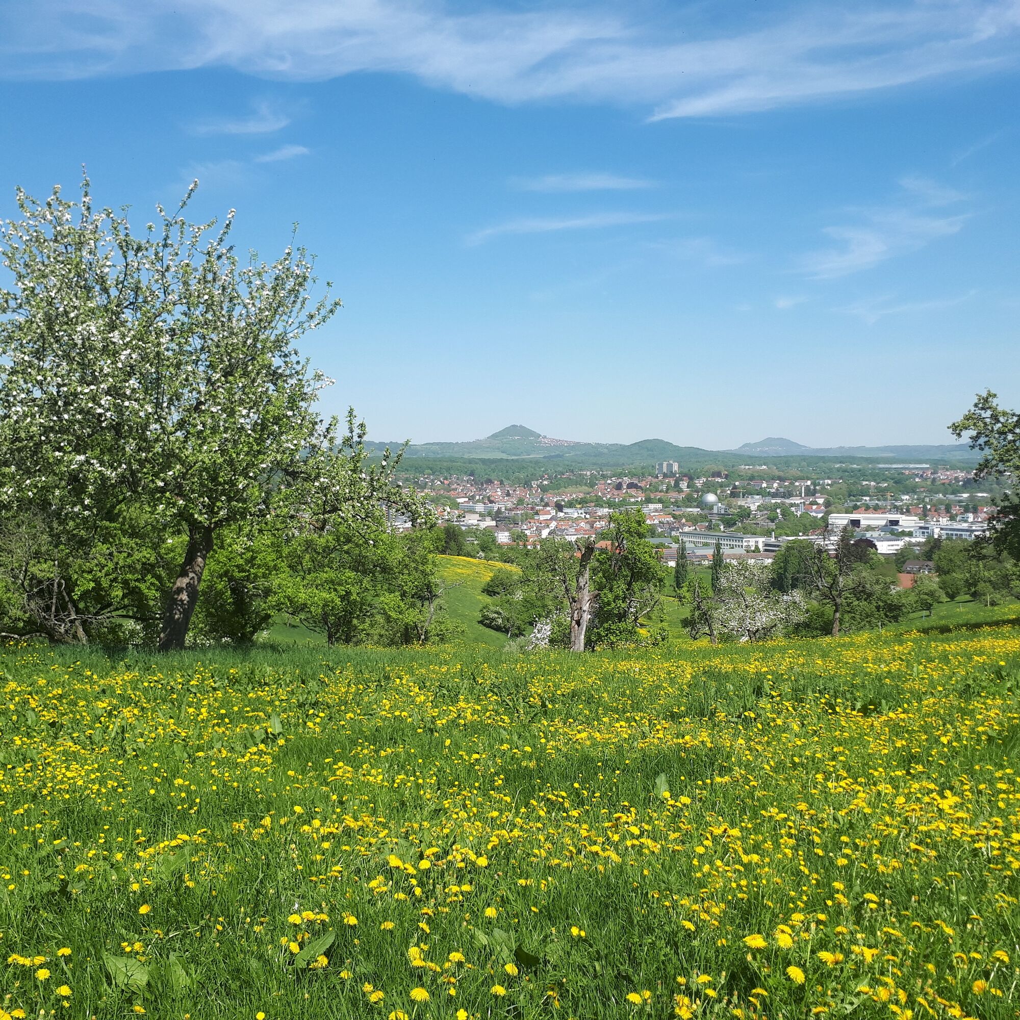

The "Apfelwiesen" circular trail can be started directly in Göppingen and leads in a southerly direction to the Eichertwald forest. From there, the route runs past the game reserve and on to the open fields. Here you can enjoy a picturesque view of the numerous orchards that characterize the landscape of the district of Göppingen.
The route continues via Heiningen and Eschenbach, past numerous farms, and leads back to Göppingen town center. There you have the opportunity to reflect on the impressions and views of the hike over an ice cream or coffee in one of the many cafés.
Wear sturdy, non-slip shoes and clothing suitable for the weather. A rucksack with water, snacks and a first aid kit is recommended.
Some paths can be slippery and dangerous when wet. Watch your steps and use walking poles for stability if necessary.
Coming from Stuttgart or Ulm, take the B10 exit Uhingen Ost/Faurndau, then follow the road to Hirschplatz Faurndau.
Take the RE 5 or MEX 16 from Stuttgart or Ulm to Göppingen station. The hiking trail begins just a few meters from the station.
You can find the district timetable at www.vvs.de/fahrplan
You can park directly at Hirschplatz, where a few parking spaces are available.
T1
Respectful cooperation in the district of Göppingen.
Code of conduct:
Respect trail closures and the quiet zones developed in the leisure trail concept. Leave no traces such as garbage and animal droppings, treat your path with care. Act with foresight and consideration. Adapt your behavior to the situation at hand. Safety first. Respect other users of the forest and meadows. Be considerate of animals and plants. Plan ahead and make the most of daylight. Try to avoid twilight in the morning and evening. Observe the ban on entering agricultural land during the growing season. Stay on the designated paths and avoid the edges of the forest so that wild animals can get used to people better.More information at ruecksicht-macht-wege-breiter.de
Just a few minutes' walk from the station is the Museum im Storchen, which is highly recommended for a visit. Here, both adults and children have the opportunity to learn lots of interesting facts about the historical events of the town of Göppingen.
Popularne wycieczki w okolicy
- 4,5
Löwenpfad "Orchideenpfad" - Herbs, Pasqueflower and Juniper Heathlands
średniWędrówka 9,33 km - 4,9
Löwenpfad "Staufer-Runde" - Barbarossa's traces before a dreamlike backdrop
średniWędrówka 11,3 km - 5,0
Lion trail "Berta-Hörnle-Tour" - castle stories in a dreamlike setting
ciężkiWędrówka 14,7 km - 4,5
Löwenpfad "Weitblick-Tour" - High up and far-reaching view
ciężkiWędrówka 12,0 km - 5,0
Boßler circuit
średniWędrówka 8,59 km - 4,7
Löwenpfad "Filstalgucker" - views from the heart of the Filstal valley
średniWędrówka 13,0 km - 3,7
Löwenpfad "Wasserberg-Runde" - pure panorama and typical Swabian Jura landscapes
ciężkiWędrówka 12,0 km - 3,5
Lion trail "Messelberg tour" - hiking with impressive views
średniWędrówka 7,72 km - 3,8
Lion trail "Ave-Weg" - A touch of pilgrimage on the Albtrauf
średniWędrówka 8,65 km - 3,0
Circular route Drei-Kaiserberge
ciężkiWędrówka 25,8 km
Wędrówki i tropienie


Nie przegap ofert i inspiracji na następne wakacje
Twój adres e-mail została dodana do listy mailingowej.





