







Turmberg Loop Trail
Poziom trudności: T1
What gives the village its charm—and what even travelers on the nearby highway can catch a glimpse of—is the village’s magnificent scenic location on the Aichelberg and Turmberg. Aichelberg and Turmberg...
What gives the village its charm—and what even travelers on the nearby highway can catch a glimpse of—is the village’s magnificent scenic location on the Aichelberg and Turmberg. Aichelberg and Turmberg are the prominent remnants of former volcanic vents of the Swabian Volcano.
The Counts of Aichelberg are first attested around the year 1210. They were of noble descent and, in the 13th century, held an independent county of considerable size, which, however, passed into the possession of the Counts of Württemberg around the year 1350. The town was almost completely destroyed in 1519, when soldiers of the “Swabian League” burned down 13 houses; six years later, in 1525, the castle on the Aichelberg was looted and destroyed during the Peasants’ War.
Municipality of Aichelberg
Vorderbergstraße 2 | 73101 Aichelberg
07164 / 800 950 | rathaus@aichelberg.de | www.aichelberg.de

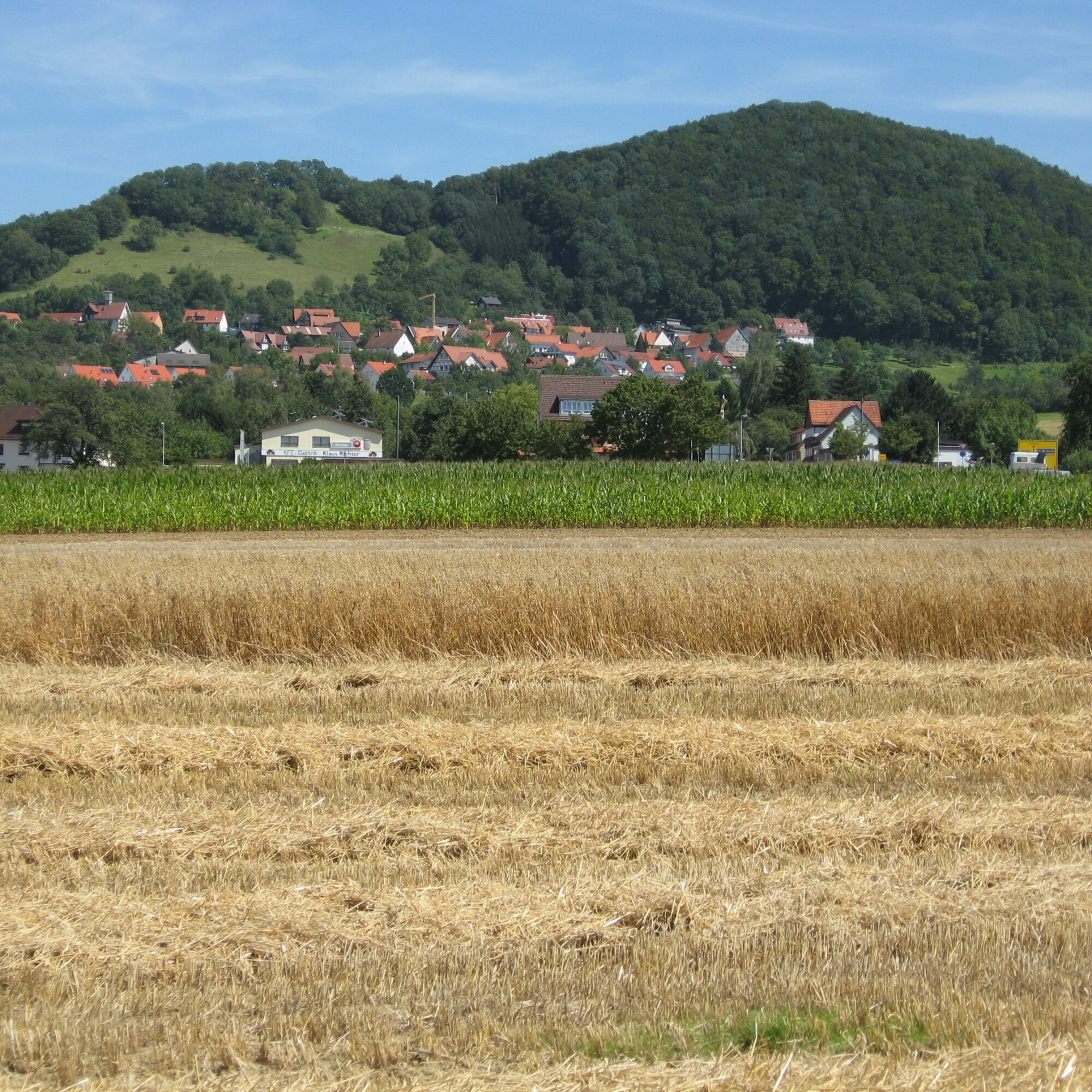
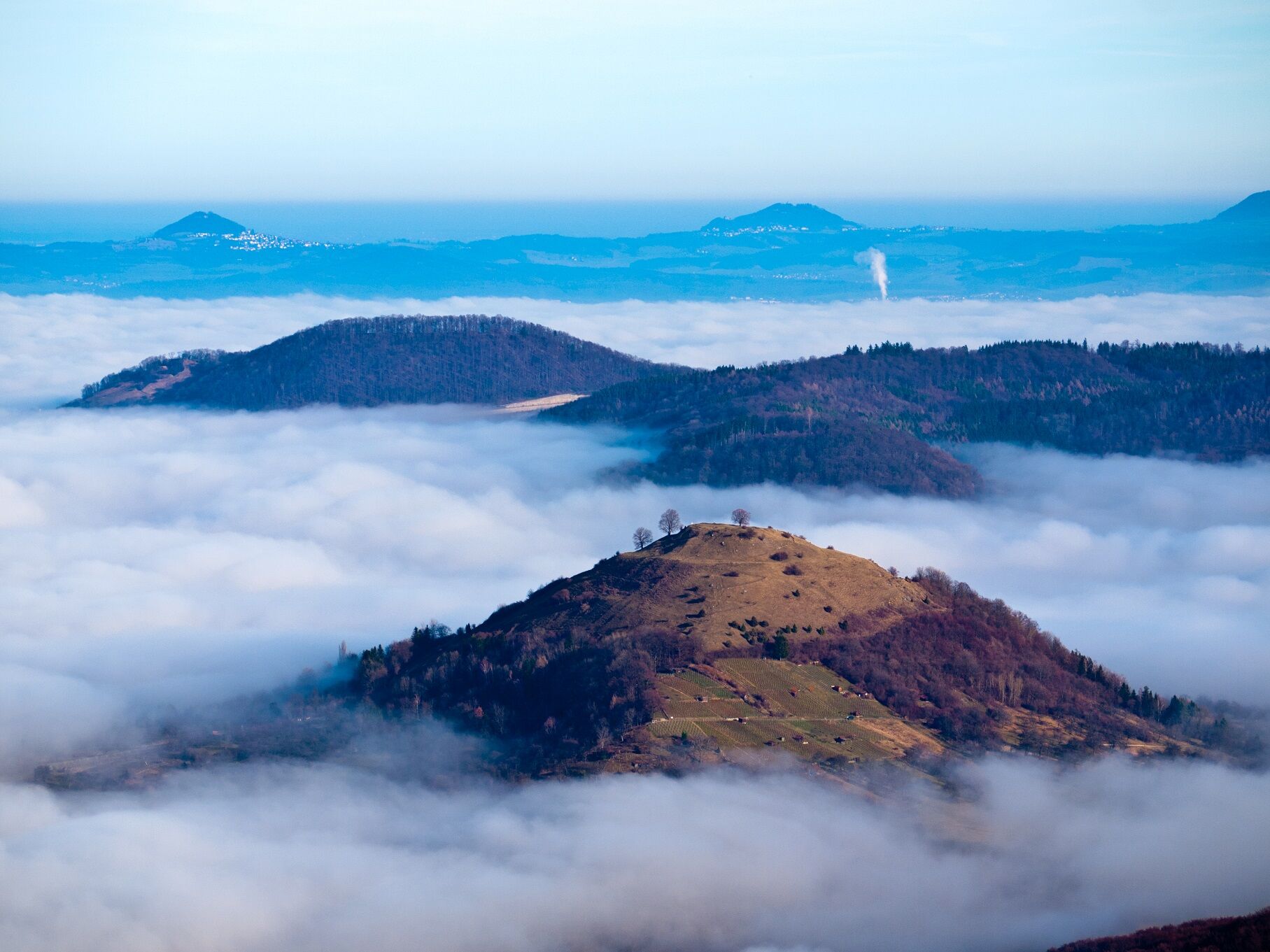
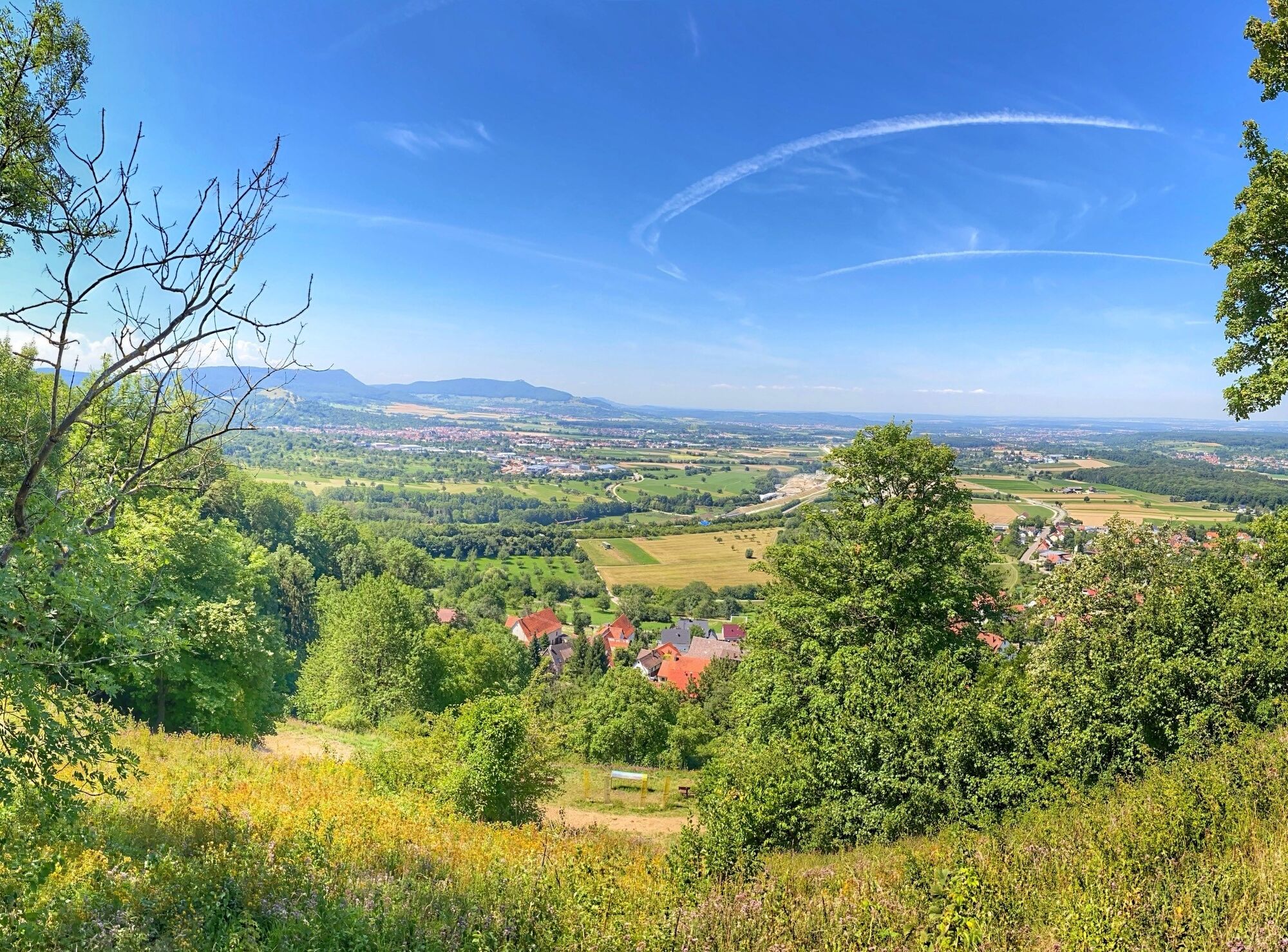

On the Turmberg Loop Trail, we hike along Boller Straße, turn onto Eckwälder Straße near the Hotel Panorama, and follow a small concrete path toward Eckwälden. We walk along this beautiful, long, and scenic trail across the Pliensbach River. We reach Eckwälden, a small hamlet of Bad Boller, and pass the Hotel Albblick, the local WALA Heilmittel GmbH, and the Eckwälden cemetery. We then hike back toward Aichelberg through a pleasant stretch of forest and return to our starting point via Hinterbergstraße. Along the way, we enjoy a wonderful view of the Three Emperors’ Mountains: the Hohenstaufen (684 m above sea level), the Rechberg (708 m above sea level), and the Stuifen (757 m above sea level). The Three Emperors Mountains are the iconic peaks of the Swabian Alb and form a striking trio between Göppingen and Schwäbisch Gmünd.
Tak
Wear sturdy, non-slip shoes and weather-appropriate clothing. A backpack with water, snacks, and a first-aid kit is recommended.
When it's wet, some trails can be slippery and dangerous. Watch your step and use hiking poles for stability if necessary.
Take the RE 5 or MEX 16 from Stuttgart or Ulm to the Göppingen train station. From there, take bus line 920 to the “Aichelberg, Bürgerhaus” stop. The starting point of the hike is about a 5-minute walk from there.
You can find the district schedule at: www.vvs.de/fahrplan
Aichelberg Town Hall
T1
Respectful Coexistence in the Göppingen District.
Code of Conduct:
Respect trail closures and the quiet zones established in the recreational trail plan. Leave no trace—such as trash or animal waste—and treat the trails with care. Be proactive and considerate. Adapt your behavior to the situation at hand. Safety comes first. Respect other users of the woods and open fields. Be considerate of animals and plants. Plan ahead and make the most of daylight. Try to avoid the early morning and evening twilight hours. Observe the ban on entering agricultural land during the growing season. Stay on marked trails and avoid forest edges; this helps wildlife get used to people.For more information, visit ruecksicht-macht-wege-breiter.de
Walnut Educational Trail
The Walnut Educational Trail in Aichelberg features twelve different walnut varieties, each differing in color, taste, shell thickness, and fruit size. Normally native to the warmer regions of Southeast Europe and Asia, a standard assortment of domestic and foreign varieties was compiled through comparative studies and test plantings, and these trees can be found here.
The Aichelberg (panoramic view from the former volcano):
In 1210, a castle was built on the Aichelberg, which remained in the possession of the Count of Aichelberg until 1350. Although no trace of the castle or its outer defensive walls remains today, the Aichelberg, at 564 meters, offers a beautiful vantage point with a magnificent panoramic view. It is interesting to note that both the adjacent Turmberg and the Aichelberg are the exposed remnants of former volcanic vents of the Swabian Volcano.
Popularne wycieczki w okolicy
-
4,5
Löwenpfad "Orchideenpfad" - Herbs, Pasqueflower and Juniper Heathlands
średniWędrówka 9,33 km -
4,8
Löwenpfad "Filsursprung-Runde" - pure nature around the Reußenstein
średniWędrówka 14,1 km -
5,0
Lion trail "Berta-Hörnle-Tour" - castle stories in a dreamlike setting
ciężkiWędrówka 14,7 km -
5,0
Boßler circuit
średniWędrówka 8,59 km -
3,7
Löwenpfad "Wasserberg-Runde" - pure panorama and typical Swabian Jura landscapes
ciężkiWędrówka 12,0 km -
3,8
Lion trail "Ave-Weg" - A touch of pilgrimage on the Albtrauf
średniWędrówka 8,65 km -
1,0
Nordalbrunde
średniWędrówka 4,76 km -
Löwenpfad "Höhenrunde" - Hiltenburg and the Albtrauf in its purest form
średniWędrówka 10,7 km -
5,0
Lenningen: Weiße Lauter, Wasserfels, Guttenberger-,Gußmannshöhle, Schopflocher Moor, Hohgreutfels, Ruine Wielandstein
średniWędrówka 15,7 km -
5,0
Breitensteinrunde
światłoWędrówka 10,3 km
Wędrówki i tropienie


Nie przegap ofert i inspiracji na następne wakacje
Twój adres e-mail została dodana do listy mailingowej.





