


Circular Route around Breitnauer Roßberg
The cuckoo’s calling…
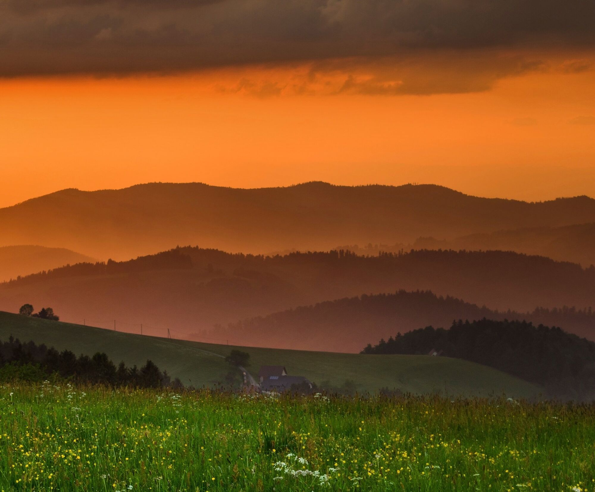
Boots laced, snacks packed – you can set off on your fabulous hike in the Hochschwarzwald (High Black Forest).
From Roßberg in Breitnau, you have countless beautiful views over the...
Boots laced, snacks packed – you can set off on your fabulous hike in the Hochschwarzwald (High Black Forest).
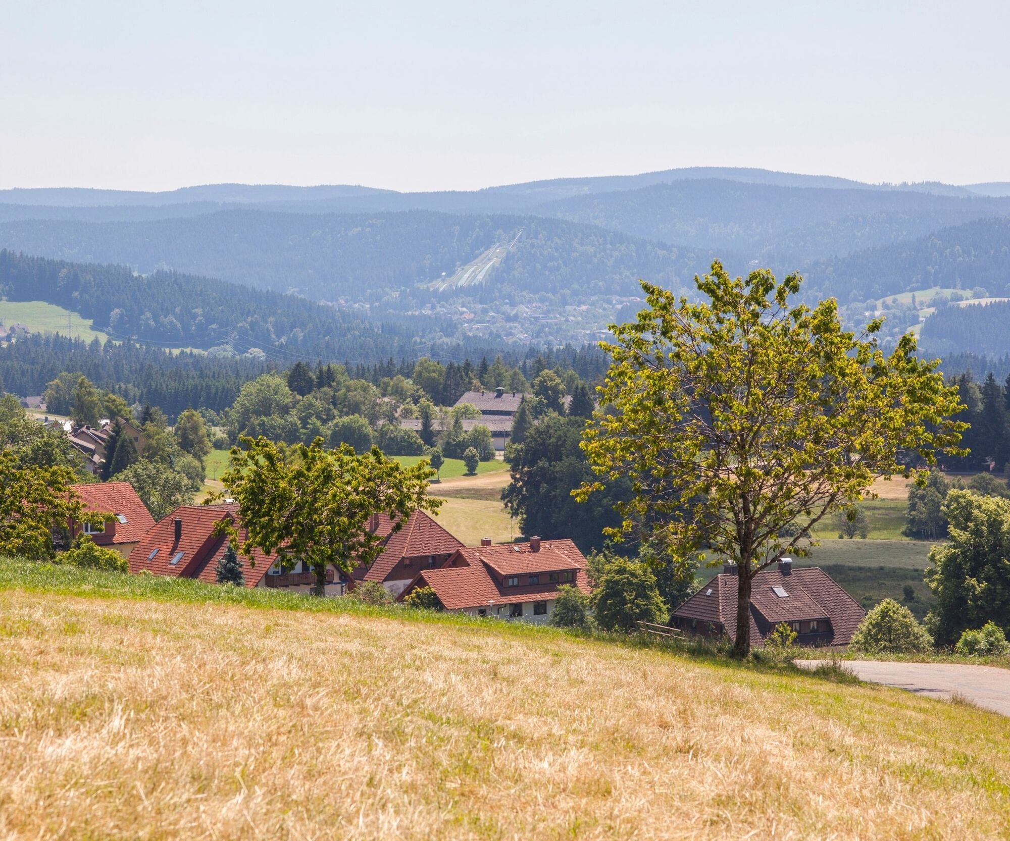
From Roßberg in Breitnau, you have countless beautiful views over the picturesque village and over the surrounding municipalities and mountains. The track on the oberer Fahrenberg mountain is lined with rustic farmyards, inviting us to take a closer look.


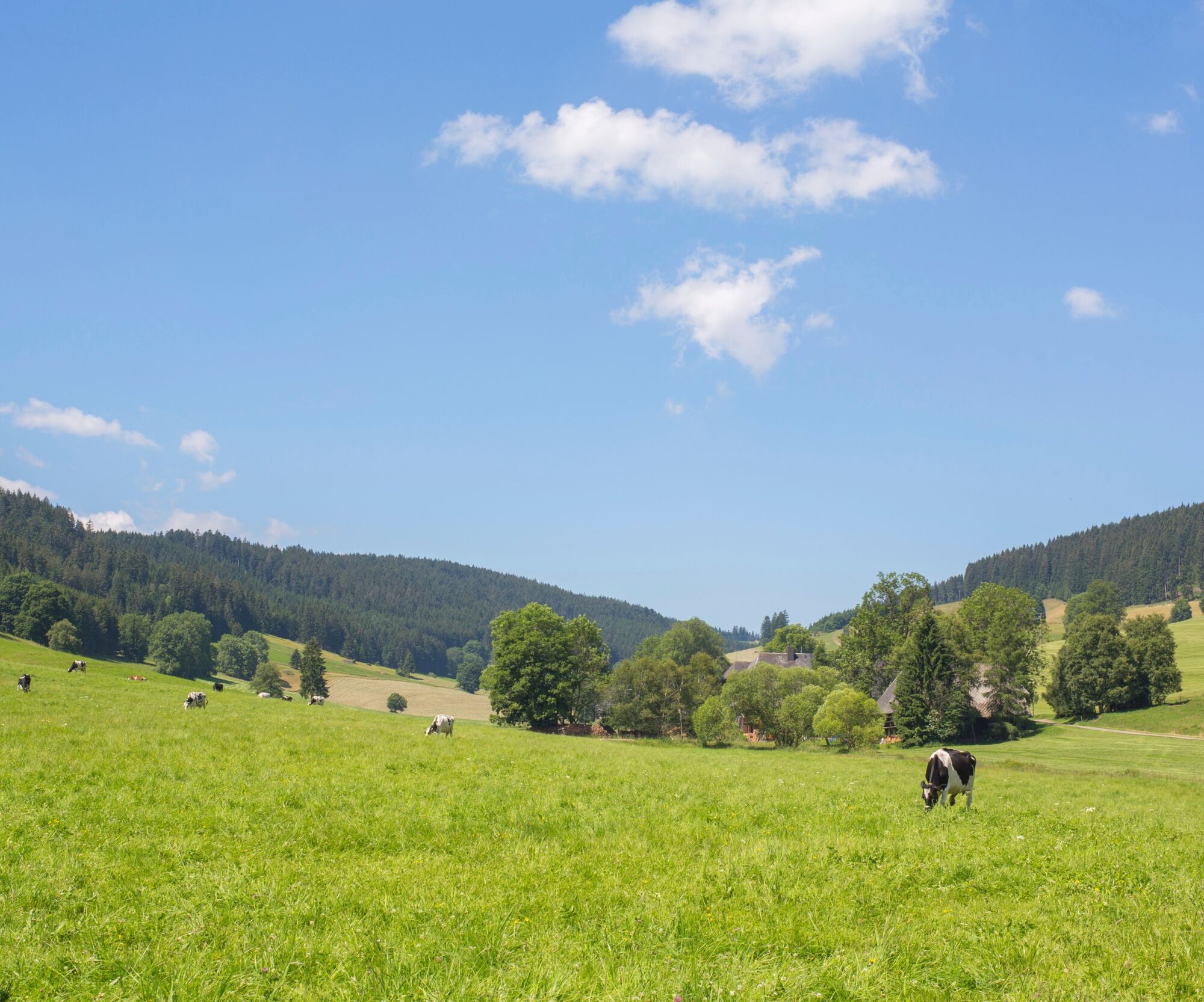

Then, we continue over luscious, green meadows until we come upon a little road on the oberer Fahrenberg mountain. We hike straight on to the Naturfreundehaus and the Schanzenhäusle guesthouse and restaurant. At the Naturfreundehaus (closed on Wednesdays), you can rest and enjoy a cool drink. From there, we proceed along a sunny high route at the edge of the forest with gorgeous views back into the village of Breitnau.
Tak
Tak
We recommend sturdy footwear!
B31 in the direction of Hinterzarten, turn onto B500 Triberg/Furtwangen/Breitnau, turn onto
Dorfstraße/K4900 (signposted for Breitnau)
From Donaueschingen:
B31 in the direction of Hinterzarten, turn onto B500 Triberg/Furtwangen/Breitnau, turn onto Dorfstraße/K4900 (signposted for Breitnau)
From Lörrach:
A5 and B31 in the direction of Titisee-Neustadt, B500 in the direction of Triberg/Furtwangen/Breitnau, turn onto Dorfstraße/K4900 (signposted for Breitnau)
With train no 727/728 in the direction of Neustadt (Schwarzw), alight at Hinterzarten, change to bus no 7216 to Breitnau, alight at Breitnau Kirche
From Donaueschingen:
With train no Zug 727 in the direction of Neustadt (Schwarzw), change to train no 727 to Freiburg, alight at Hinterzarten, change to buss no 7216 to Breitnau, alight at Breitnau Kirche
From Lörrach:
With the train from Lörrach to Basel Bad BF, change to ICE to Freiburg, with train no 727 in the direction of Titisee-Neustadt/Seebrugg, alight at Hinterzarten. With bus no 7216 to Breitnau, alight at Kirche
Hikers’ carpark at Breitnau Church (Kirche Breitnau)
Popularne wycieczki w okolicy
-
4,7
Black Forest Highlands heritage trail - mills and saws in the gorge
średniWędrówka 7,42 km -
3,7
Seerundweg Titisee
światłoWędrówka 5,84 km -
4,4
Through the mystical Bannwald forest to the Zweribach Waterfall
średniWędrówka 12,3 km -
3,9
From Titisee to the Hochfirst with its stunning views
średniWędrówka 10,6 km -
4,1
Höhenklimaweg Titisee-Rundweg
średniWędrówka 7,44 km -
3,8
Premium Hiking Trail- Säbelthomaweg
średniTrasa tematyczna 10,9 km -
4,0
Altitude on the Herzogenhorn
średniWędrówka 11,1 km -
5,0
Premium Hiking Trail - Menzenschwander Geißenpfad
średniTrasa tematyczna 10,3 km -
4,3
Mystical path to the Mathisleweiher pond
średniWędrówka 8,94 km -
4,8
Sonnenaufgang und Feldbergsteig
średniWędrówka 11,6 km

Wędrówki i tropienie


Nie przegap ofert i inspiracji na następne wakacje
Twój adres e-mail została dodana do listy mailingowej.