







Up the Höchst

Set off from Eisenbach (Hochschwarzwald) on a leisurely walk along the “Hochschwarzwälder Spazierwegle”, a trail featuring varied and idyllic woodland paths. The route takes you up to a plateau offering...
Set off from Eisenbach (Hochschwarzwald) on a leisurely walk along the “Hochschwarzwälder Spazierwegle”, a trail featuring varied and idyllic woodland paths. The route takes you up to a plateau offering stunning views, which will delight you with its impressive panoramic vistas. From here, the view sweeps across the entire Black Forest Highlands as far as the Feldberg. On a clear day, you can even see the majestic Swiss Alps. Along the route, there are various places to stop for a bite to eat, inviting you to linger and enjoy regional specialities.

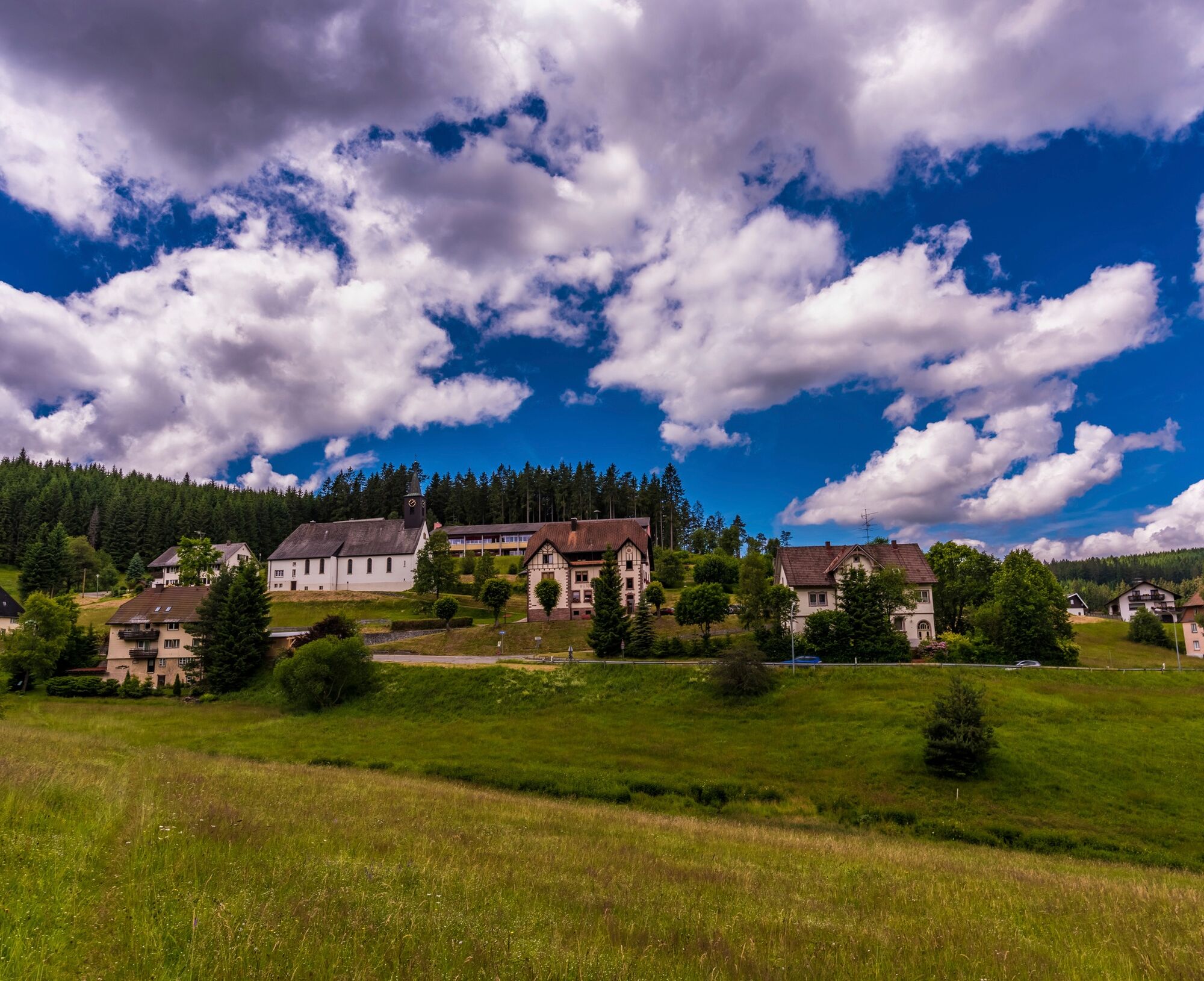


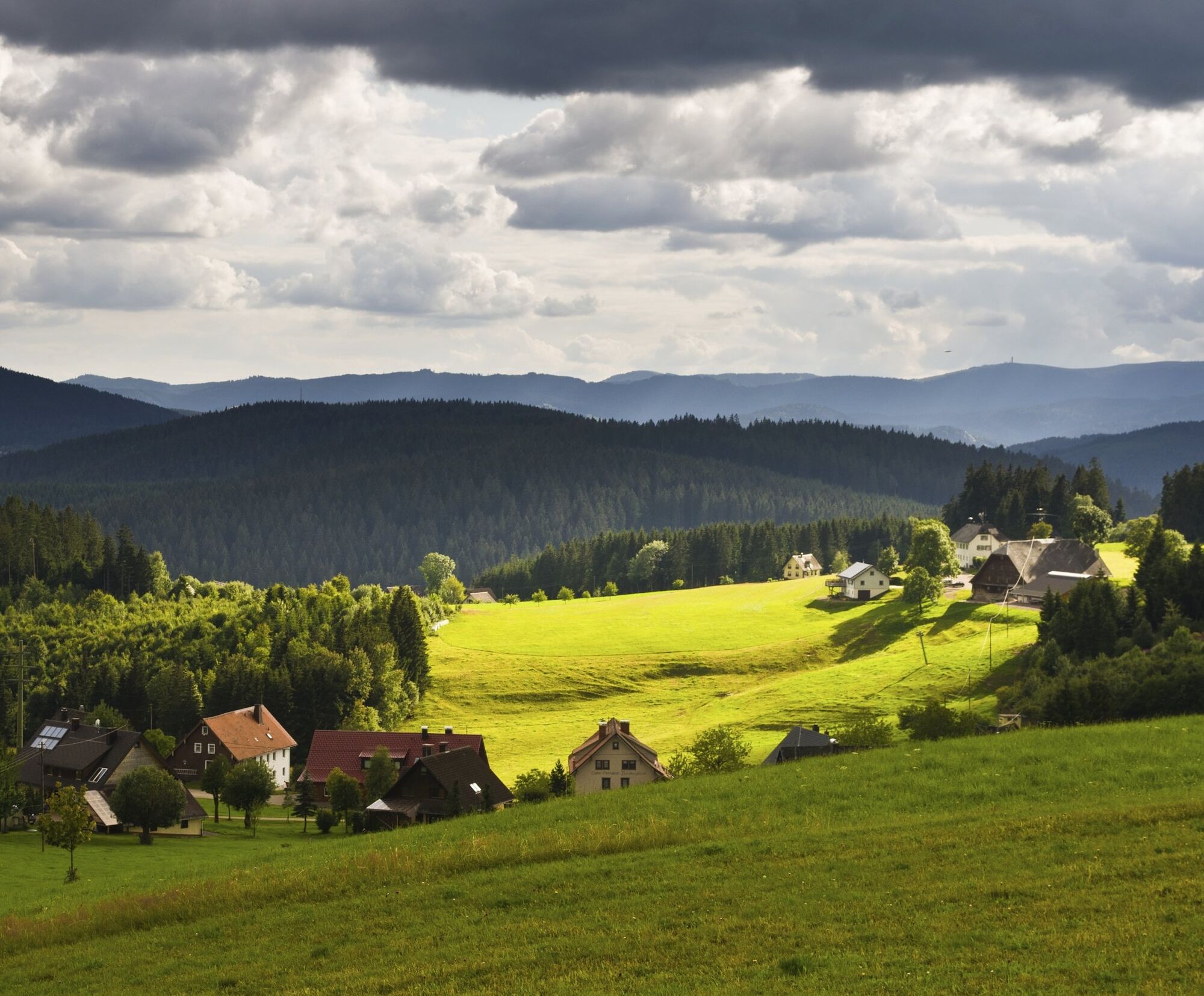
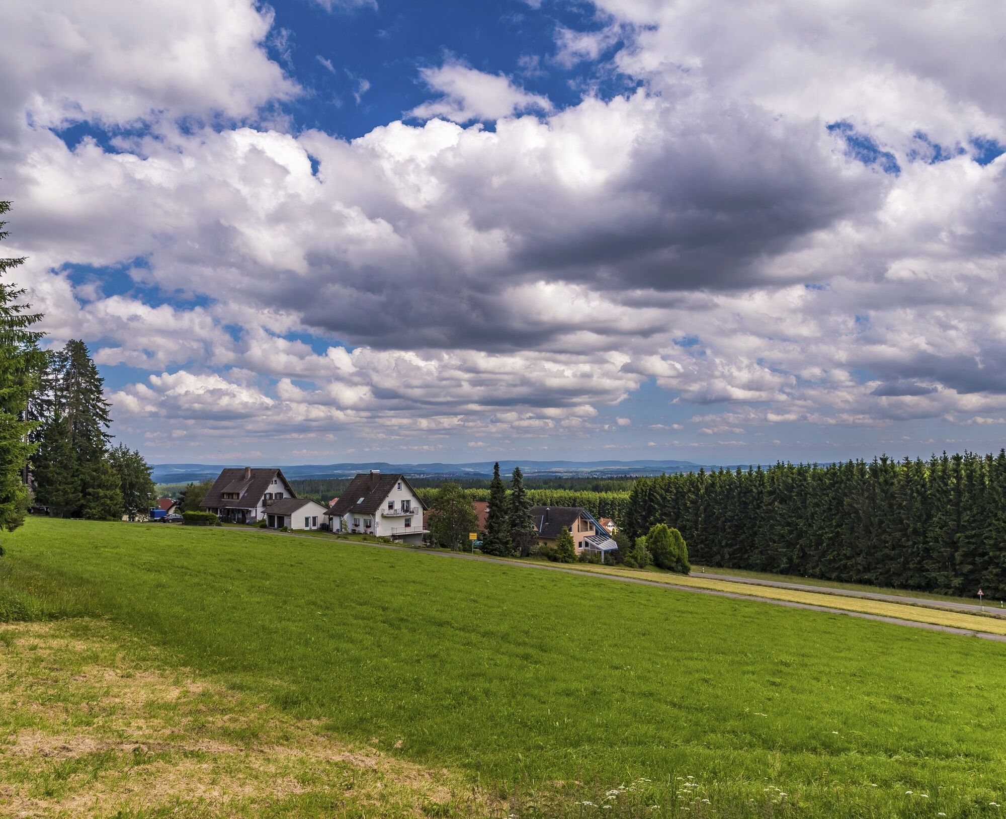


You start your tour at the Höchstberg sports stadium in Eisenbach (Hochschwarzwald) and head towards the forest. Turn left there so that you reach the path along the edge of the forest. Follow the sunny farm track in the direction of Schwärzenbach. Keep right along the road. You can enjoy homemade cakes and tarts on the wonderful sun terrace of "Café Feldbergblick". A detour to the "Gasthaus Ahorn" restaurant with home-style, regional cuisine is also worth a visit! The trail leads you past rustic farmhouses towards the plateau, from where you have a magnificent view over the entire Black Forest Highlands - and even as far as the Swiss Alps on a clear day. The trail leads through the forest back to the starting point at the sports stadium.
Tak
We recommend sturdy footwear and plenty to drink!
Please pay attention to the signs on the hiking trail. You can find precise and detailed information about the signs and the hiking guidance system on our website. In emergencies, call 112.
Federal highway B 31, exit Neustadt-Mitte, road L 172 in the direction of Reichenbach/Schwärzenbach/Eisenbach (Hochschwarzwald)
Bus 7262 Neustadt (Schwarzw.) railway station, exit at Eisenbach Höchst
Sportplatz Eisenbach, Am Sportplatz 1, 79871 Eisenbach (Hochschwarzwald)
Dieses Projekt wurde gefördert durch den Naturpark Südschwarzwald mit Mitteln des Landes Baden-Württemberg und der Lotterie Glücksspirale.
We can enjoy a Black Forest cherry cake at "Café Feldbergblick".

Popularne wycieczki w okolicy
-
4,7
Black Forest Highlands heritage trail - mills and saws in the gorge
średniWędrówka 7,42 km -
3,9
Seerundweg Titisee
światłoWędrówka 5,84 km -
4,2
Höhenklimaweg Titisee-Rundweg
średniWędrówka 7,44 km -
4,6
Through the mystical Bannwald forest to the Zweribach Waterfall
średniWędrówka 12,2 km -
3,9
From Titisee to the Hochfirst with its stunning views
średniWędrówka 10,6 km -
4,3
Ravennaschlucht
Wędrówka 6,90 km -
3,7
Premium Hiking Trail- Säbelthomaweg
średniTrasa tematyczna 11,3 km -
4,7
Premium Hiking Trail - Rötenbach Gorge
średniTrasa tematyczna 10,1 km -
5,0
Wutachschlucht+Lotenbachklamm
światłoWędrówka 10,0 km -
4,3
The Mystical Path to Mathisleweiher
średniWędrówka 8,48 km

Wędrówki i tropienie


Nie przegap ofert i inspiracji na następne wakacje
Twój adres e-mail została dodana do listy mailingowej.





