


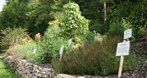
Medicinal Herb Trail
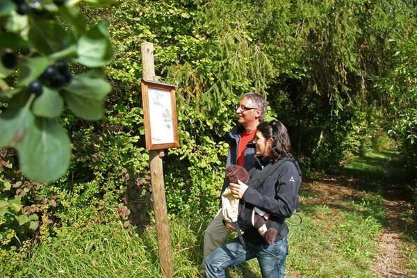
A varied and contemplative walk over the medicinal herbs path. Signs tell us about the mode of action and use of 26 medicinal herbs.


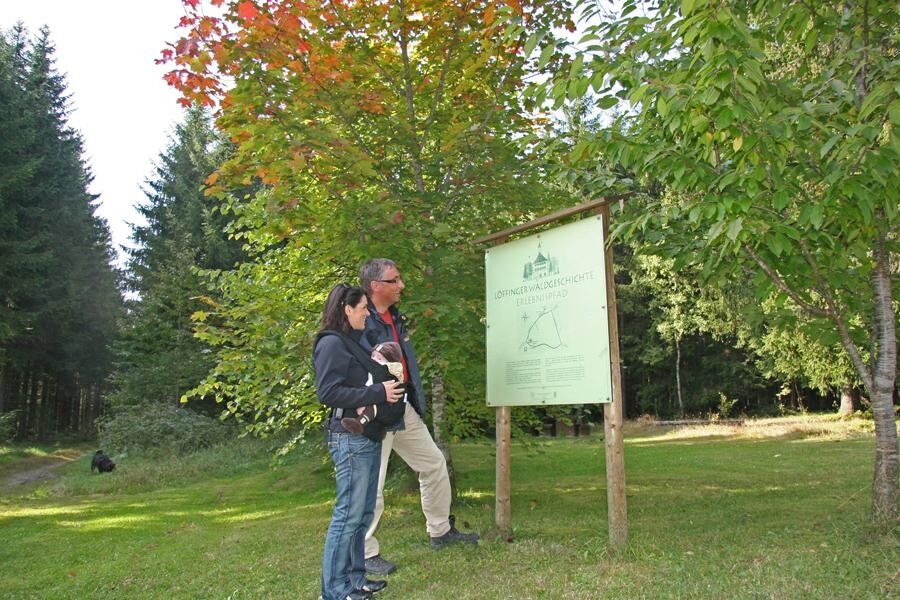
From the Tourist Information we start our tour to the medicinal herb trail. We pass the "Kurhaus" and walk through the "Mailänder Tor", along the "Maienlandstraße" until the end of the village. Before the start of the "Stationenweg", turn right onto the "Wirtschaftsweg" with the underpass of the B31.
To the left of us are the Schwarzwaldpark, the forest pool and the vast forests of Löffingen. In the direction you see the mountain ridge
Schwarzwaldpark
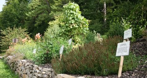
We now start the walk on the medicinal herb path. Signs tell us about the mode of action and use of 26 medicinal herbs. Behind the circular route we can now recognize the health resort Dittishausen. We follow the path to the Oele. The red half-timbered building in the Mauchachtal used to be an oil mill.
Now we cross the K4994 road. Immediately after the bridge, a meadow path turns right along the edge of the forest. Until a forest path climbs to the left, we follow this narrow path. At the following crossroads we keep to the right. The path, which is called here "Dreiruhen Haldenweg", follows the edge of the forest and opens up beautiful views over the Mauchachtal. From the left the access road from Dittishausen crosses. A dirt road brings us downhill to the barbecue area. Here we can stop for a rest.
After the hut, the path continues to the right, continuing downhill to the valley, and through a grove we reach the Mauchach, which we cross on a bridge. We continue hiking uphill to the highway. At the roundabout, we go back towards the city center to our starting point.
Variation from Dittishausen
From the town hall Dittishausen we go on the "Taborstraße" to the exit in the direction of Löffingen. In the sharp right turn we turn left and walk past a spruce hedge to the house with the number 2. There, the "Bengele-Weg" leads us in a few minutes through the forest to the barbecue area. Here we meet the above-described trail, which we follow via Löffingen, the Maienland to the Oele. From here we can return to the "Dittishauser town hall" via the "Kapf" to the left of the road or via the "Bengele-Weg".
Tak
Tak
We recommend sturdy shoes!
Bahnhof Löffingen
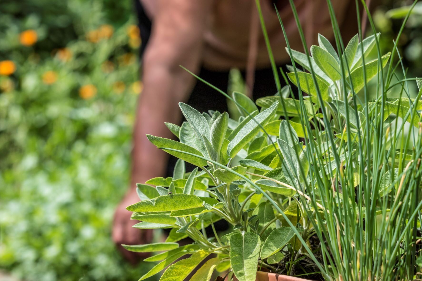
If you would like more information about medicinal plants, you can join a guided tour with the herb expert or visit the Heilkräuterstüble in Löffingen. Anyone interested will find an assortment of over 400 medicinal herbs and more than 100 different essential oils.
Kamery internetowe z trasy
Popularne wycieczki w okolicy
-
4,7
Wutachschlucht Rundwanderung im Süd Schwarzwald
średniWędrówka 9,76 km -
3,9
From Titisee to the Hochfirst with its stunning views
średniWędrówka 10,6 km -
5,0
Premium Hiking Trail - 3-Schluchten Tour
średniTrasa tematyczna 9,62 km -
5,0
Wutachschlucht+Lotenbachklamm
światłoWędrówka 10,0 km -
4,5
Premium Hiking Trail - Rötenbach Gorge
średniTrasa tematyczna 10,1 km -
4,4
Wutach, Deutschland
średniWędrówka 14,6 km -
3,0
From "Schluchsee" to "Grafenhausen-Rothaus"
średniWędrówka 14,5 km -
4,5
Hochfirst Panorama Trail
Wędrówka 14,2 km -
Joke trail "Gäg Wäg"
światłoTrasa tematyczna 5,56 km -
"Bähnle"- cycle path
światłoJazda na rowerze 27,0 km
Wędrówki i tropienie


Nie przegap ofert i inspiracji na następne wakacje
Twój adres e-mail została dodana do listy mailingowej.