


Staufer route
Poziom trudności: 4
The Staufer route leads through the historic area around Hohenstaufen and combines important sites from the Staufer era with varied landscapes. The cycle tour combines culture, history and nature to create...
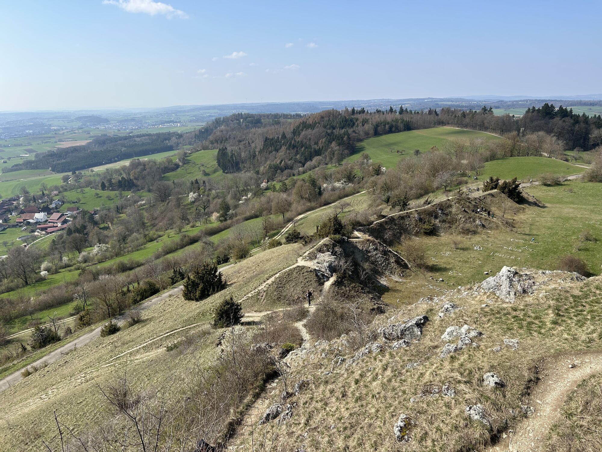
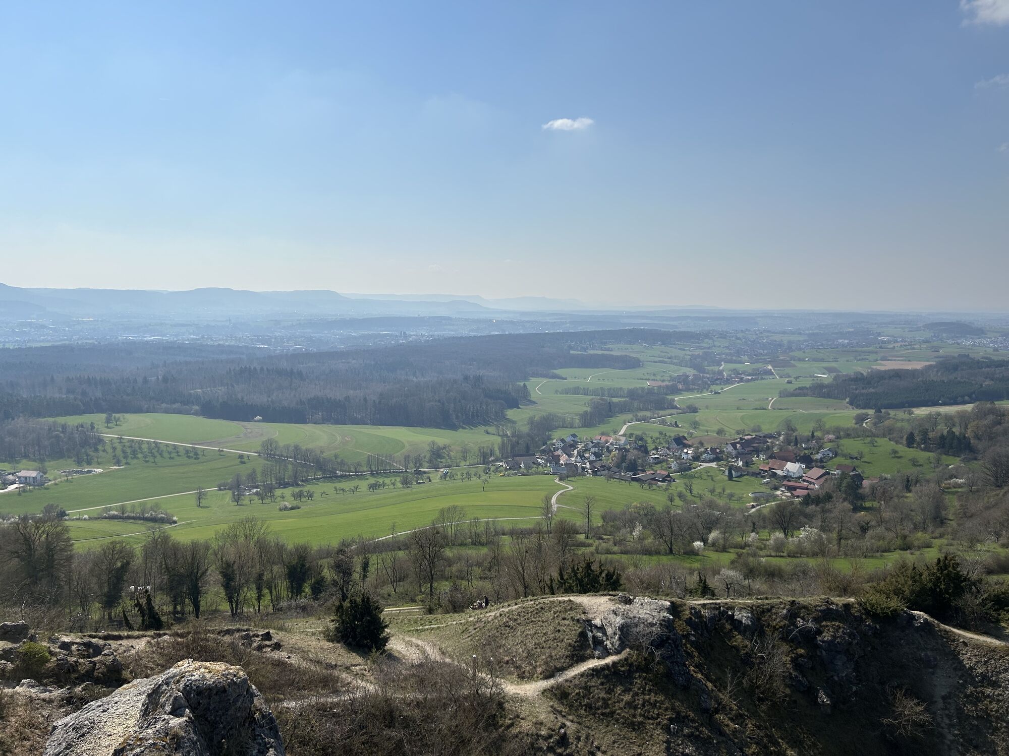
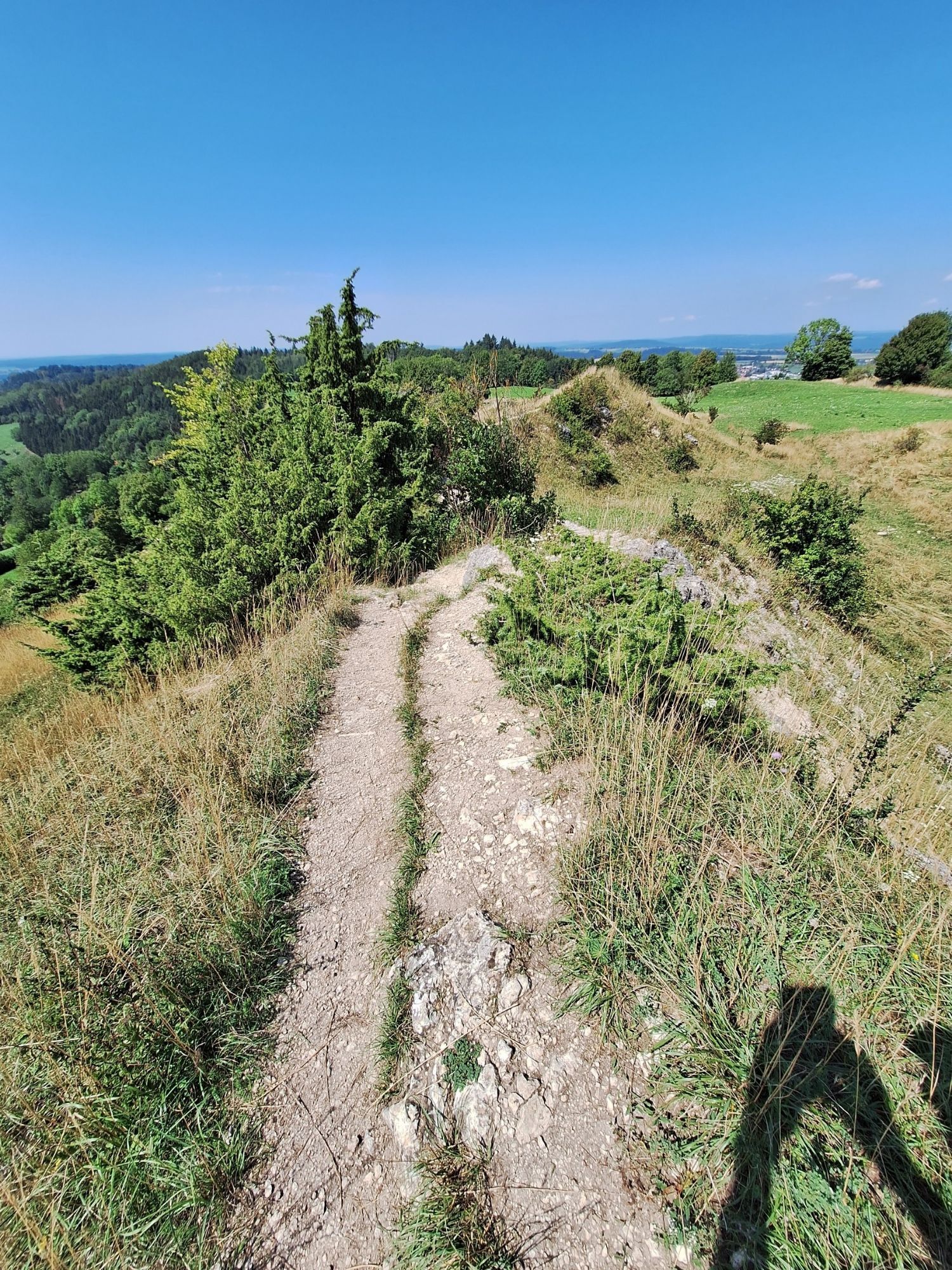
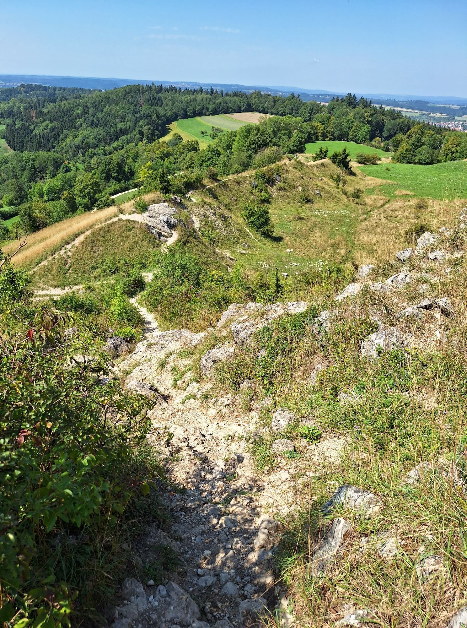
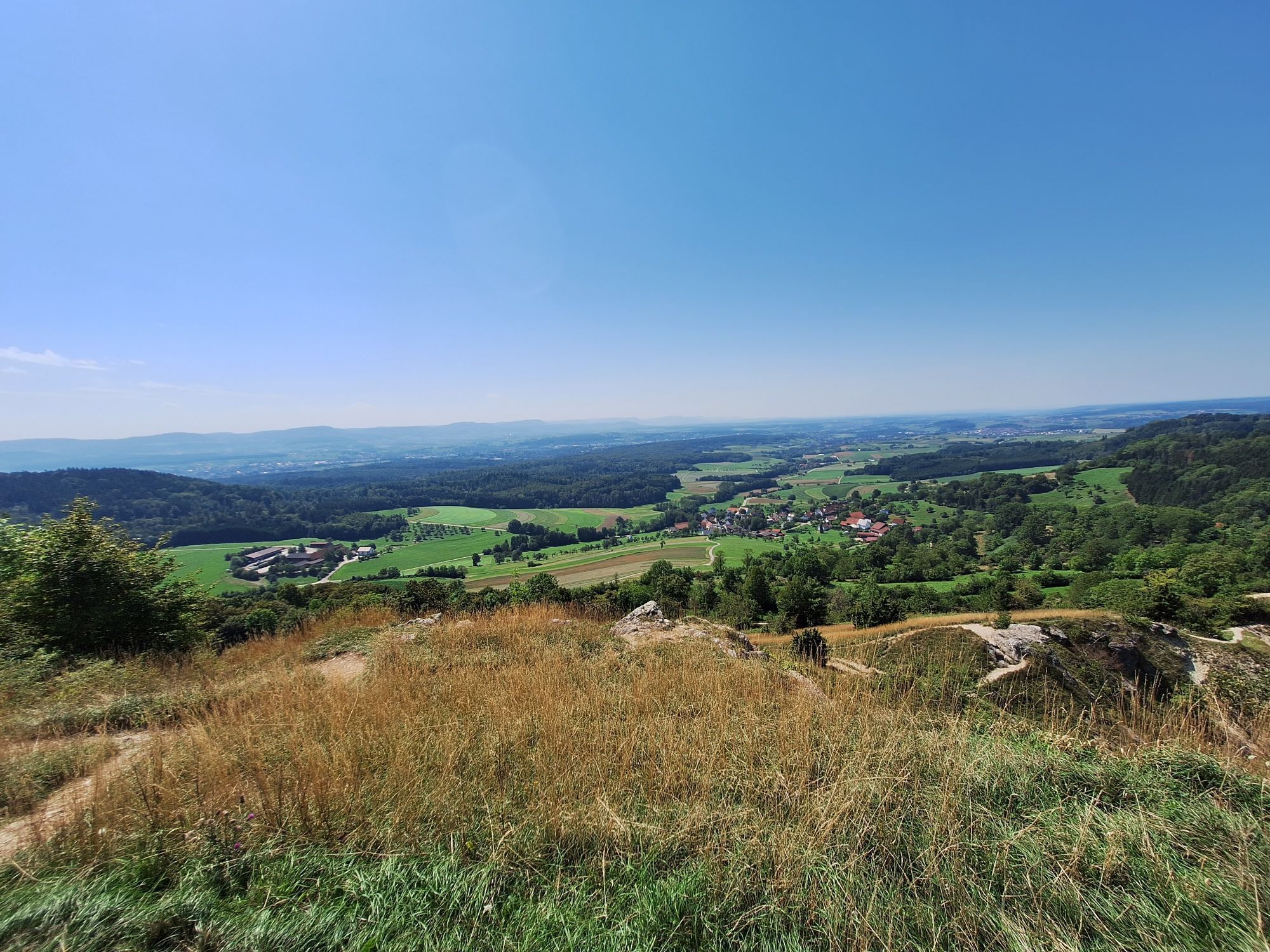
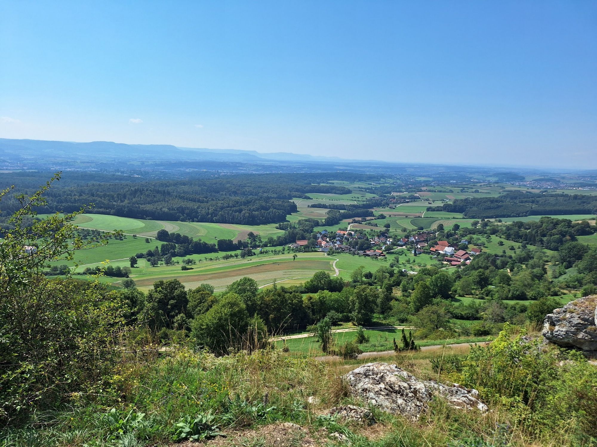
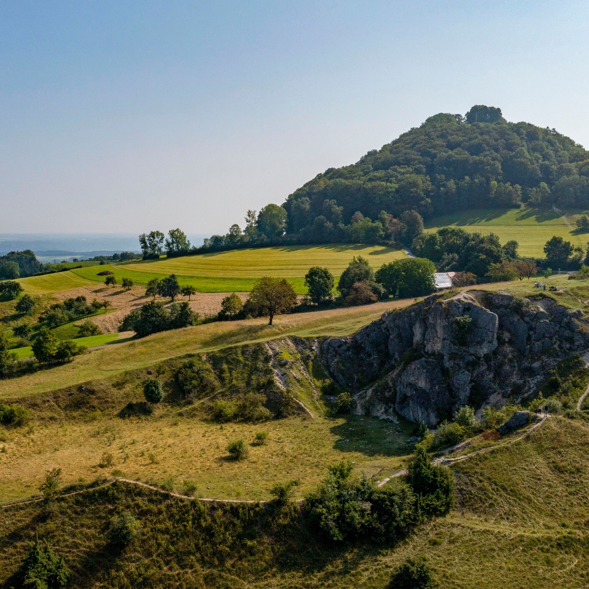
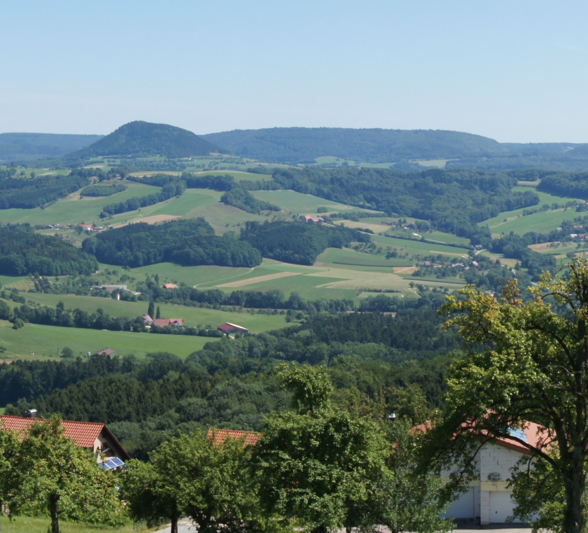
Along the way, orchards, forests, open fields and small villages characterize the landscape. Time and again, the route offers sweeping views of the striking mountain ranges of the Swabian Alb and historic towns with a long tradition.
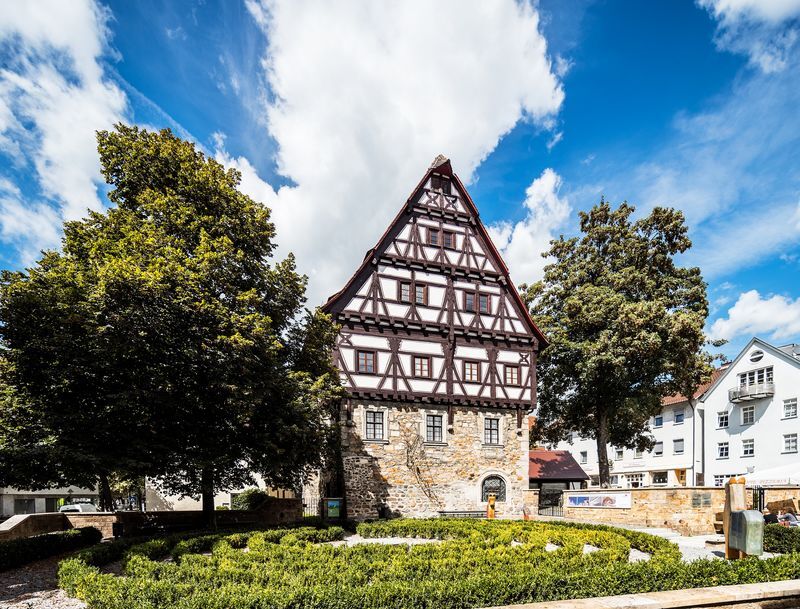
The route takes its name from the Staufer dynasty, which was one of the most important ruling houses in Europe in the Middle Ages. Numerous historic sites along the route are reminders of this period. Castles, monasteries and historic town centers provide exciting insights into the region's past.
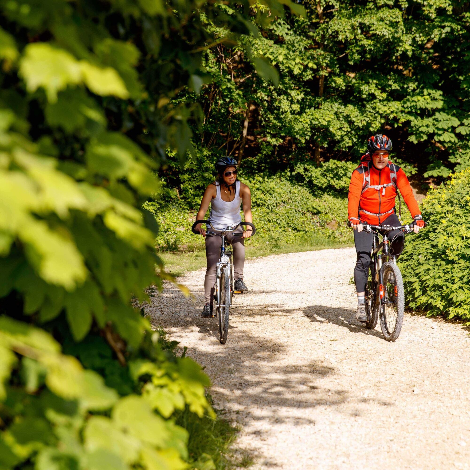
The route mainly runs along well-maintained cycle paths, farm tracks and quiet side roads. Easy to moderate climbs alternate with longer flat sections, making the tour both scenic and varied.
Numerous rest stops along the route invite you to enjoy the surroundings in peace or take a short break. This makes the Staufer route ideal for an eventful day tour through a region where history and nature are closely intertwined.

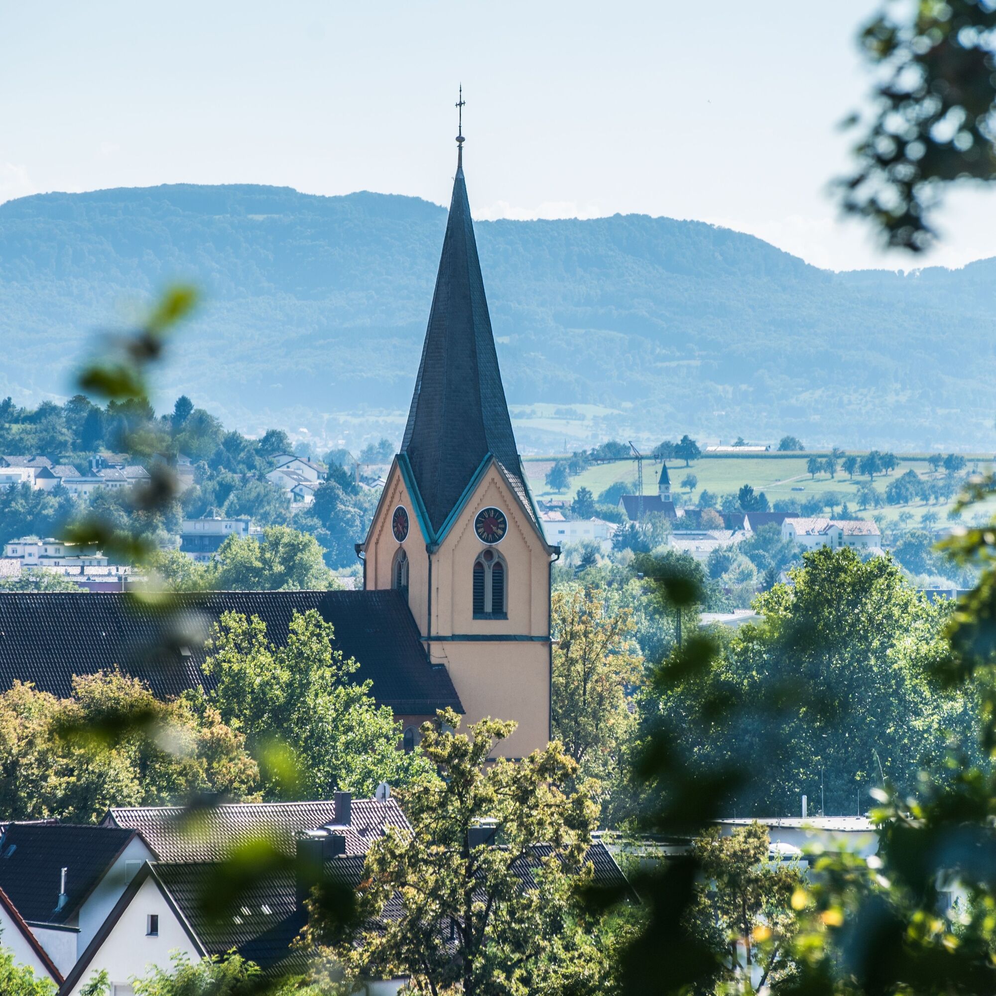
The start of the tour is located in the center of Göppingen and can be easily reached from the train station. First, the cycle route runs along the Filstal valley towards Eislingen and Salach, just like the Filstalroute Nord. In Salach, it leaves the Filstal valley up to Staufeneck Castle and follows the mountain ridge to the middle Kaiserberg "Rechberg". The second Kaiserberg "Hohenstaufen" is bypassed via the "Aßrücken" parallel to the L1075. The route descends via Wäschenbeuren and Maitis near the B297 towards Schwäbisch Gmünd and the Rems valley. Following the valley downstream, you reach your destination of Lorch.
Trekking bike or e-bike, helmet, sufficient drinks and food. Weather-appropriate clothing and a map or navigation device with GPS track are recommended.
The route runs partly on public roads. Watch out for traffic and drive defensively. Agricultural vehicles are to be expected in agricultural areas. Some sections of the route may be slippery after rain.
Coming from Stuttgart and Ulm, follow the B10 to the town of Göppingen. There, the cycle route leads directly across the market square and can be started from there.
To the district timetable: www.vvs.de/fahrplan
There are several parking facilities within Göppingen, most of which are subject to a charge. You will find further parking facilities along the route, for example in Rechberg or Hohenstaufen.
4
Code of conduct:
Respect trail closures and the quiet zones developed in the leisure trail concept. Leave no traces such as garbage and animal droppings, treat your path with care. Act with foresight and consideration. Adapt your behavior to the situation at hand. Safety first. Respect other users of the forest and meadows. Be considerate of animals and plants. Plan ahead and make the most of daylight. Try to avoid dusk in the morning and evening. Observe the ban on entering agricultural land during the growing season. Stay on the designated paths and avoid the edges of the forest so that wild animals can get used to people better.More information at ruecksicht-macht-wege-breiter.de
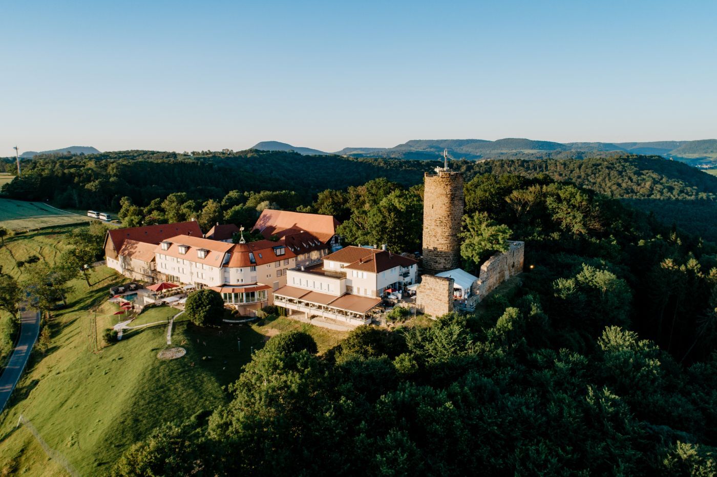
Staufeneck Castle
Rechberg
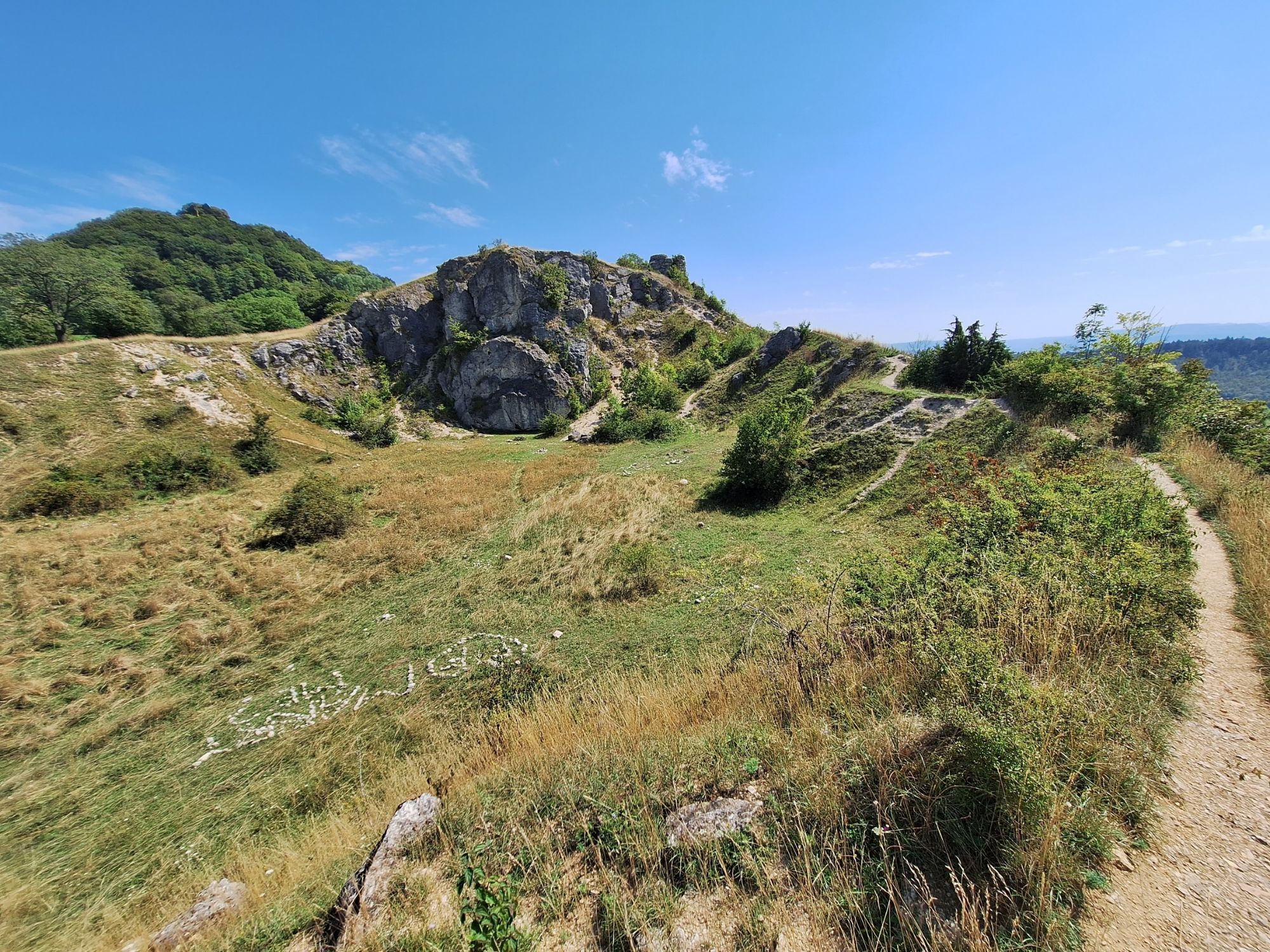
Hohenstaufen
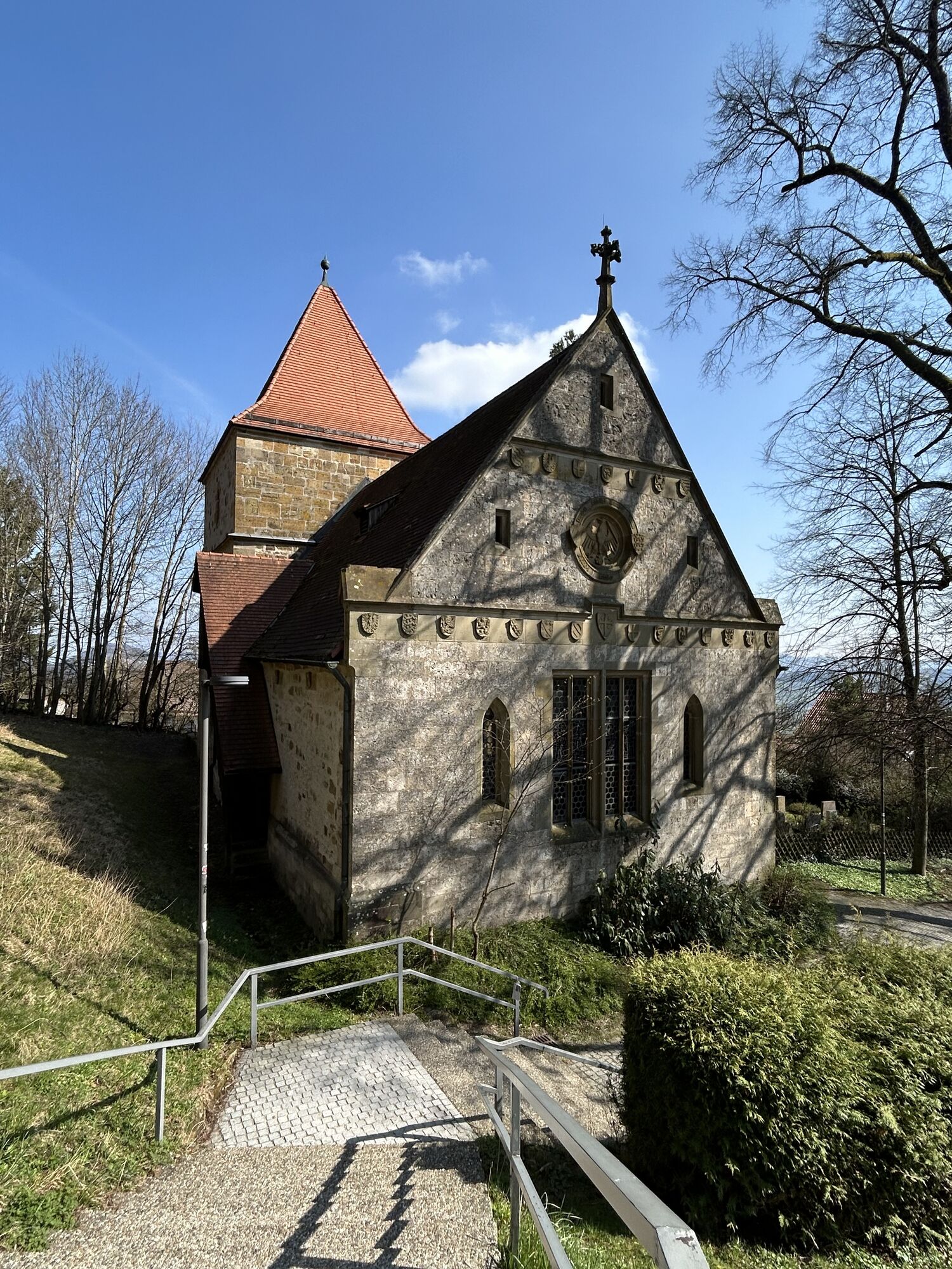
Lorch Monastery
Popularne wycieczki w okolicy
- 4,5
Löwenpfad "Orchideenpfad" - Herbs, Pasqueflower and Juniper Heathlands
średniWędrówka 9,33 km - 4,9
Löwenpfad "Staufer-Runde" - Barbarossa's traces before a dreamlike backdrop
średniWędrówka 11,3 km - 5,0
Löwenpfad "Heldentour" - The king stage of the Löwenpfade
ciężkiWędrówka 23,6 km - 4,5
Löwenpfad "Weitblick-Tour" - High up and far-reaching view
ciężkiWędrówka 12,0 km - 3,7
Löwenpfad "Wasserberg-Runde" - pure panorama and typical Swabian Jura landscapes
ciężkiWędrówka 12,0 km - 3,5
Lion trail "Messelberg tour" - hiking with impressive views
średniWędrówka 7,72 km - 3,0
Circular route Drei-Kaiserberge
ciężkiWędrówka 25,8 km - 5,0
Blicklestour Lauterstein
ciężkiWędrówka 13,8 km - 4,5
Löwenpfad "Schloss-Filseck-Runde" - castle stories and lake dreams
światłoWędrówka 3,97 km - 5,0
Glaubensweg 15 - Heldenbergweg
światłoWędrówka 8,02 km
Wędrówki i tropienie


Nie przegap ofert i inspiracji na następne wakacje
Twój adres e-mail została dodana do listy mailingowej.