







Le Thabor

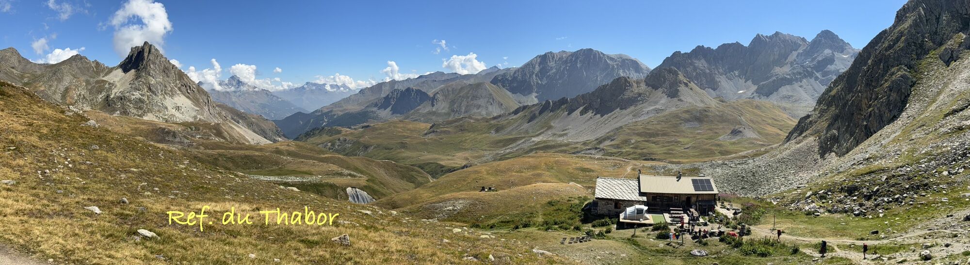

From Valfréjus or Le Lavoir, by the GR5, the hike is quite long but very varied.
The Thabor is a mountain range between Savoie and the Hautes-Alpes, with Mont-Thabor as its highest point at 3,178 m.
At...
The Thabor is a mountain range between Savoie and the Hautes-Alpes, with Mont-Thabor as its highest point at 3,178 m.
At the summit, the lunar atmosphere with a 360° view of the most beautiful peaks, from Viso to Mont Blanc, brings a feeling of plenitude.
The summit of Le Thabor is accessible to all, without climbing, and French and Italian pilgrims meet every summer at the chapel of Notre-Dame des Sept Douleurs built in the 15th century. A "3,000 m" easy from mid-July onwards (there are snow patches until this period) for all lovers of hiking in wide open spaces.
On this route over the Vallée Etroite pass at the foot of the Three Wise Men, one wonders about the origin of these names (Melchior, Gaspard and Balthazar, Thabor) and their meanings.
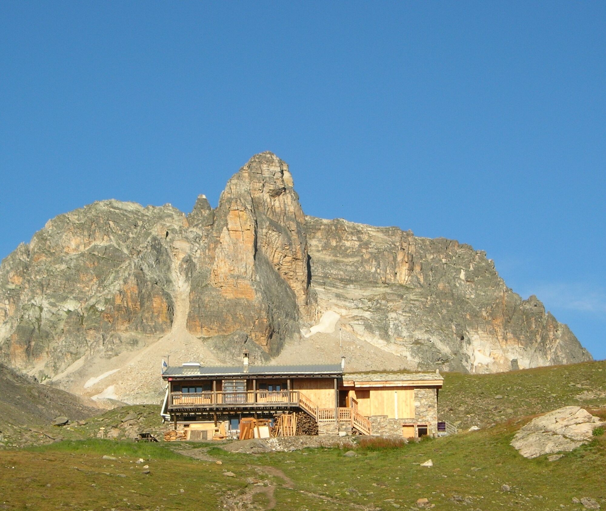
Possibility of doing the itinerary over two days, sleeping at the Thabor refuge


0/ : From the car park of the Lavoir, follow the GR 5 up the lock standing above, following by a few bends the carriageway.
1/ : Reach La Losa next to a small water reservoir where the path then splits into a crow's foot.
2/ : Leave the right-hand route towards Les Sarrasins to continue along the GR 5 to the Vallée Etroite pass (2434 m).
3/ : At the Col, it is possible to reach the Thabor refuge on the right to spend the night. (Possible return the next day by the Sarrazin trail).
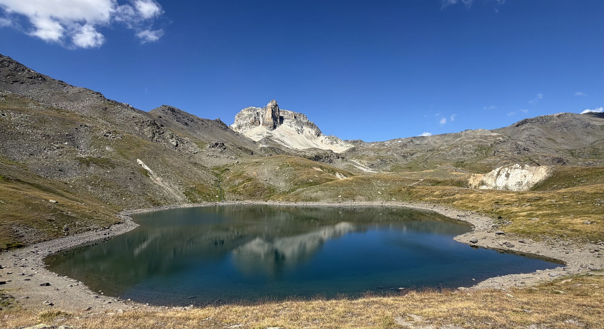
4/ : Leave the GR 5 going down towards the narrow valley to cross the magnificent high altitude meadows. Reach the very colourful Peyron lake by crossing a few large boulders on a short descent and walk along its northern bank.
5/ : Go around the rocky bar overhanging the lake then continue on the grassy plateau of the Chances du Peyron at the foot of the rocky needle of Grand Séru. The itinerary then leads to the Méandes pass, from where you attack the terminal slope leading to the Thabor.
6/ : Just before reaching the summit, make a last stop at the chapel of Mont Thabor (ND des Douleurs), a high place of pilgrimage where Italians and French meet every summer.
Tak
Popularne wycieczki w okolicy
- 4,5
BARDONECCHIA Pian del Colle - Valle Stretta
średniRakieta do chodzenia po śniegu 5,02 km - 5,0
BARDONECCHIA Green Lake
światłoWędrówka 2,14 km - 4,7
BARDONECCHIA Col des Acles - Passo della Mulattiera
średniWędrówka 6,23 km - 4,5
BARDONECCHIA Walter Bonatti Path - Grange della Rho
średniWędrówka 6,06 km - 5,0
BARDONECCHIA Decauville
średniWędrówka 7,29 km GR® 57 Tour de la Haute-Clarée
średniWędrówka 83,8 km- 3,5
BARDONECCHIA Sentiero dei Cosetti by Luciano Ferraris
światłoWędrówka 3,24 km - 5,0
BARDONECCHIA Monte Thabor
ciężkiWędrówka 8,86 km BARDONECCHIA Lago Verde
światłoMountainbike 10,7 km- 4,5
BARDONECCHIA Forte Foens
średniWędrówka 3,83 km
Wędrówki i tropienie


Nie przegap ofert i inspiracji na następne wakacje
Twój adres e-mail została dodana do listy mailingowej.





