


2-day hike to the Fond d'Aussois Refuge - Stage 1 - From the Carrière parking lot to the Fond d'Aussois Refuge

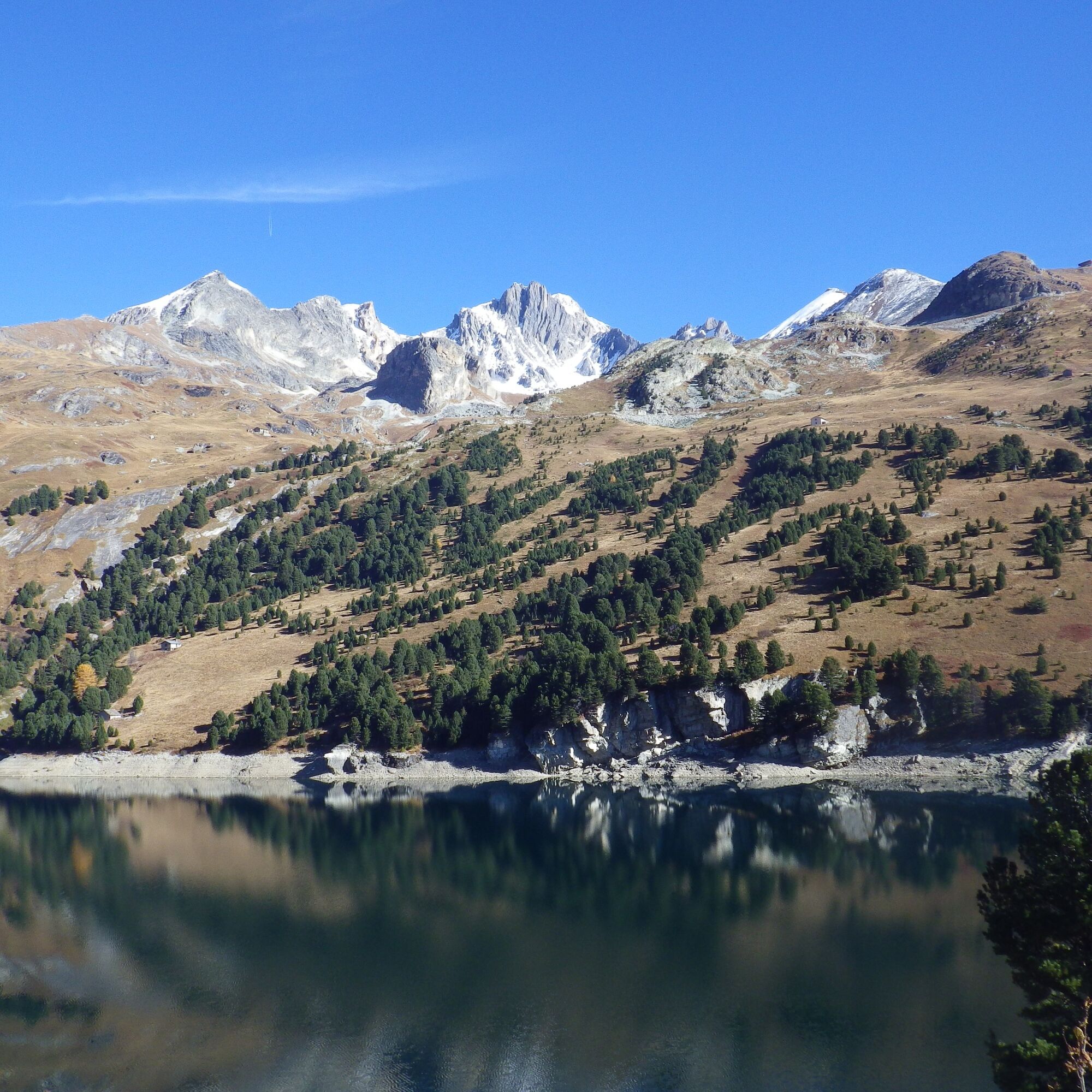
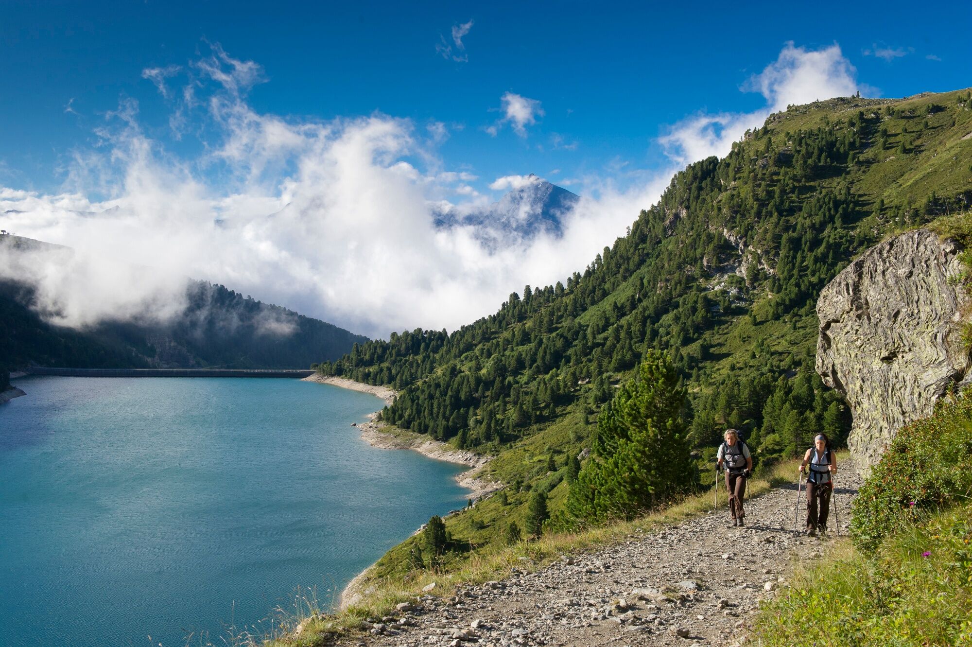
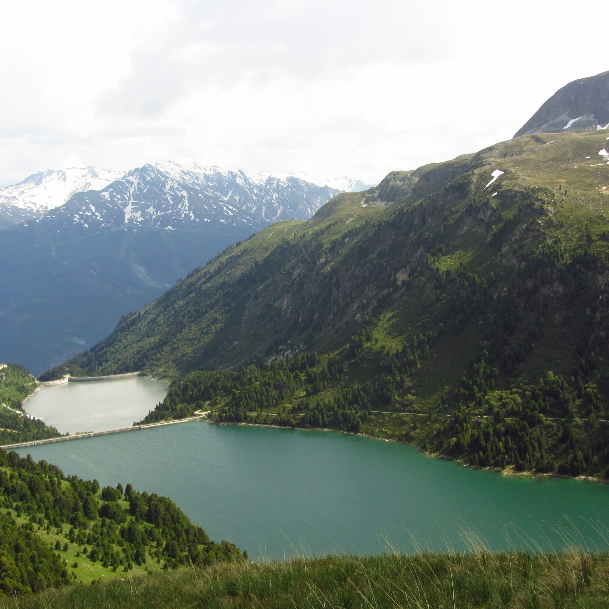
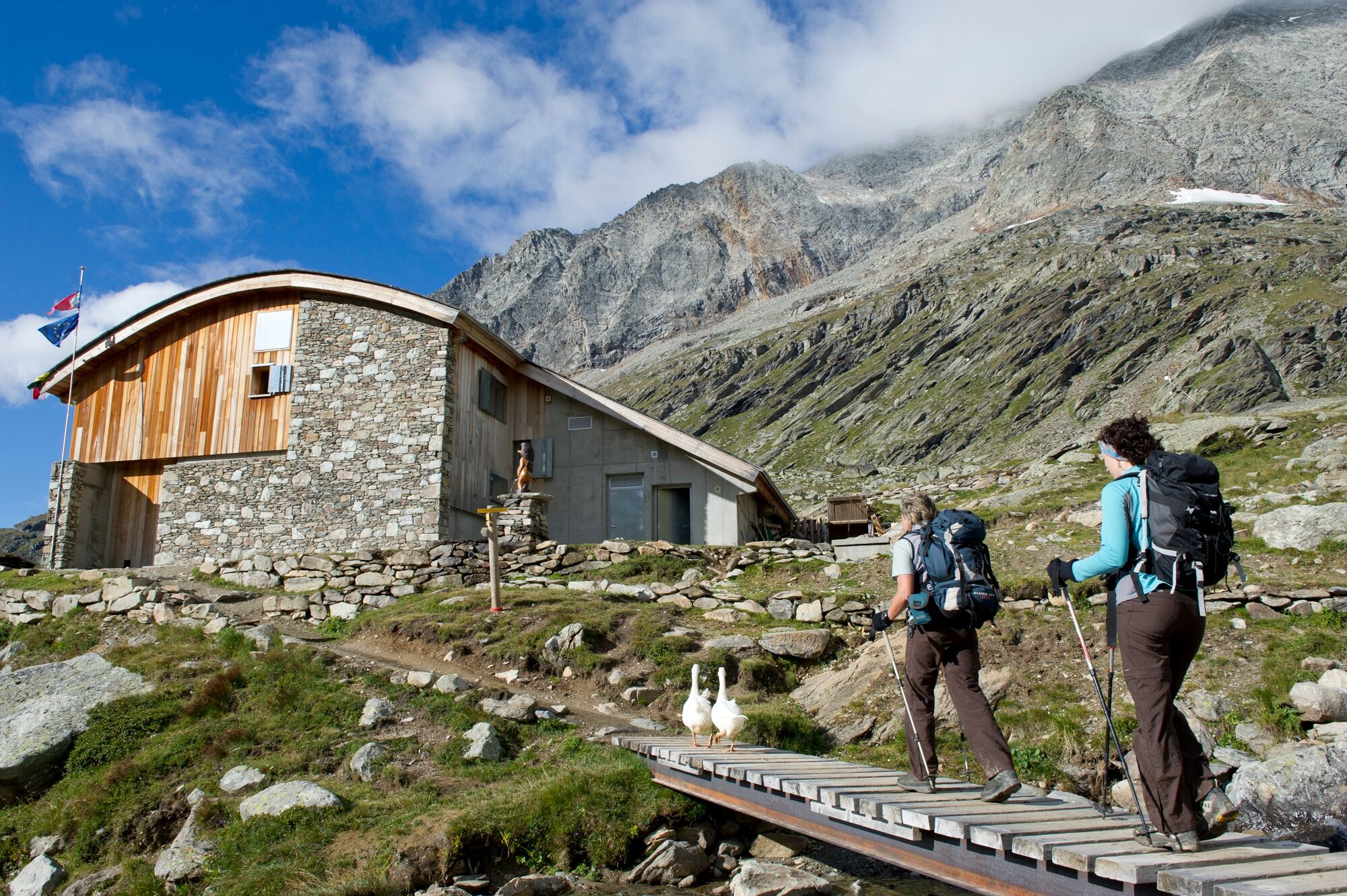
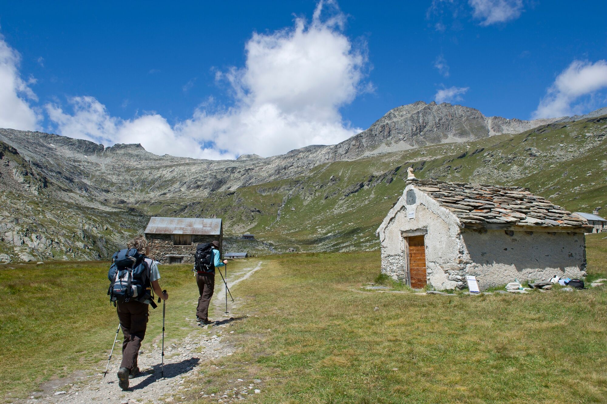
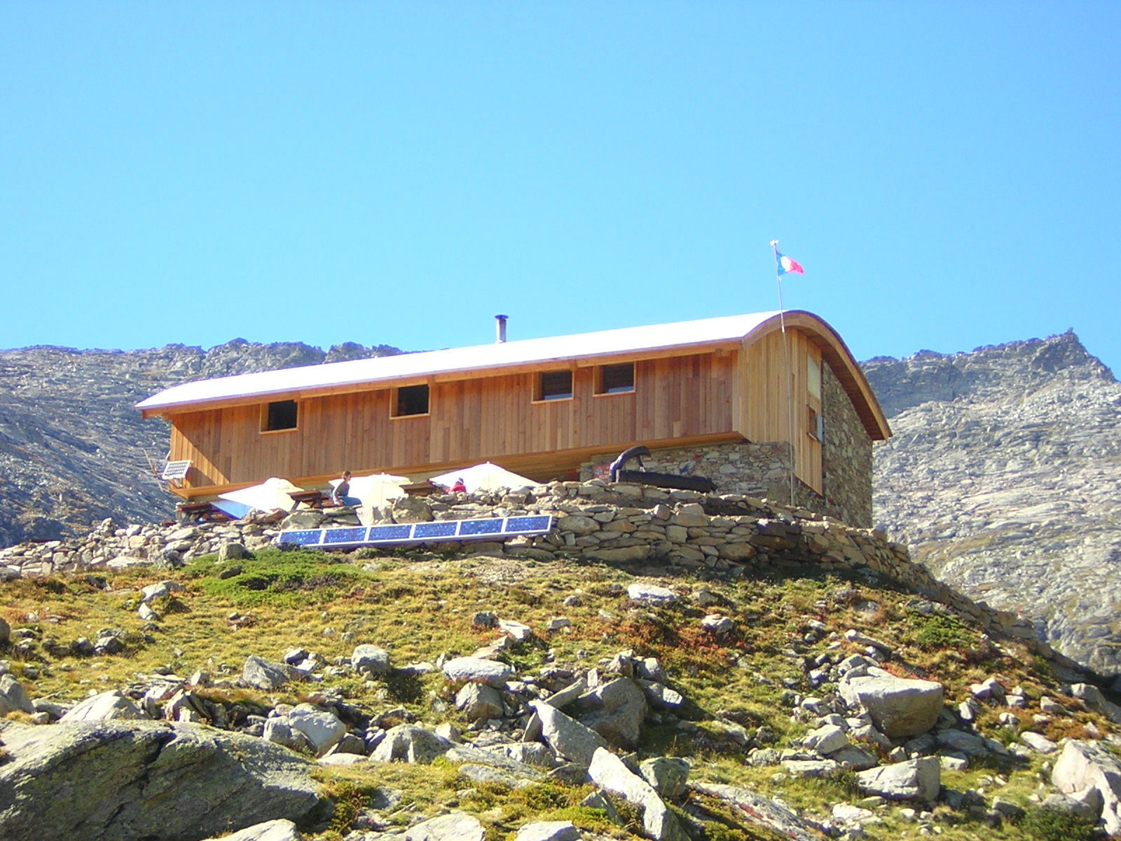
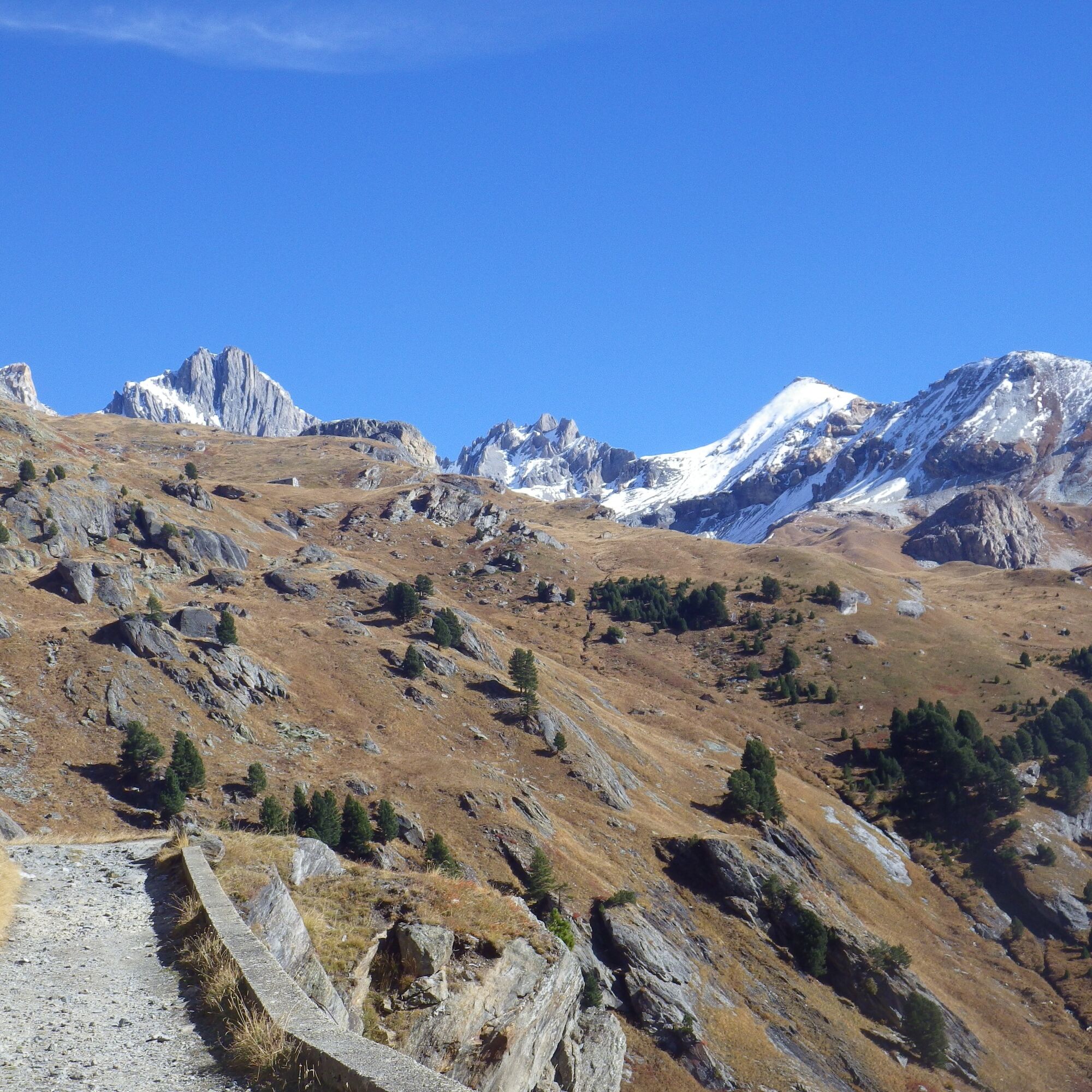
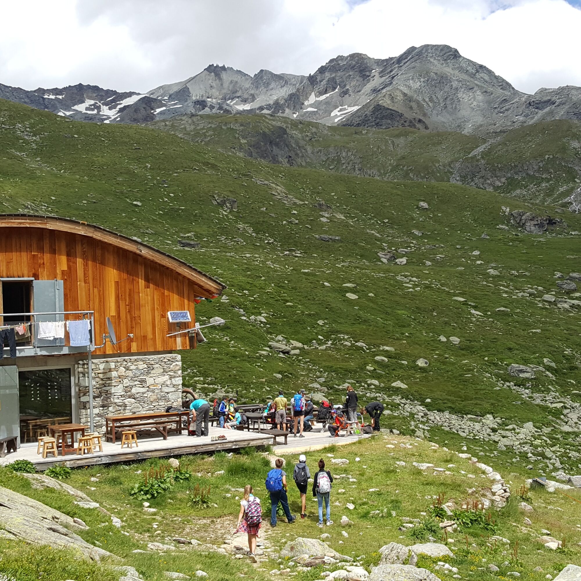
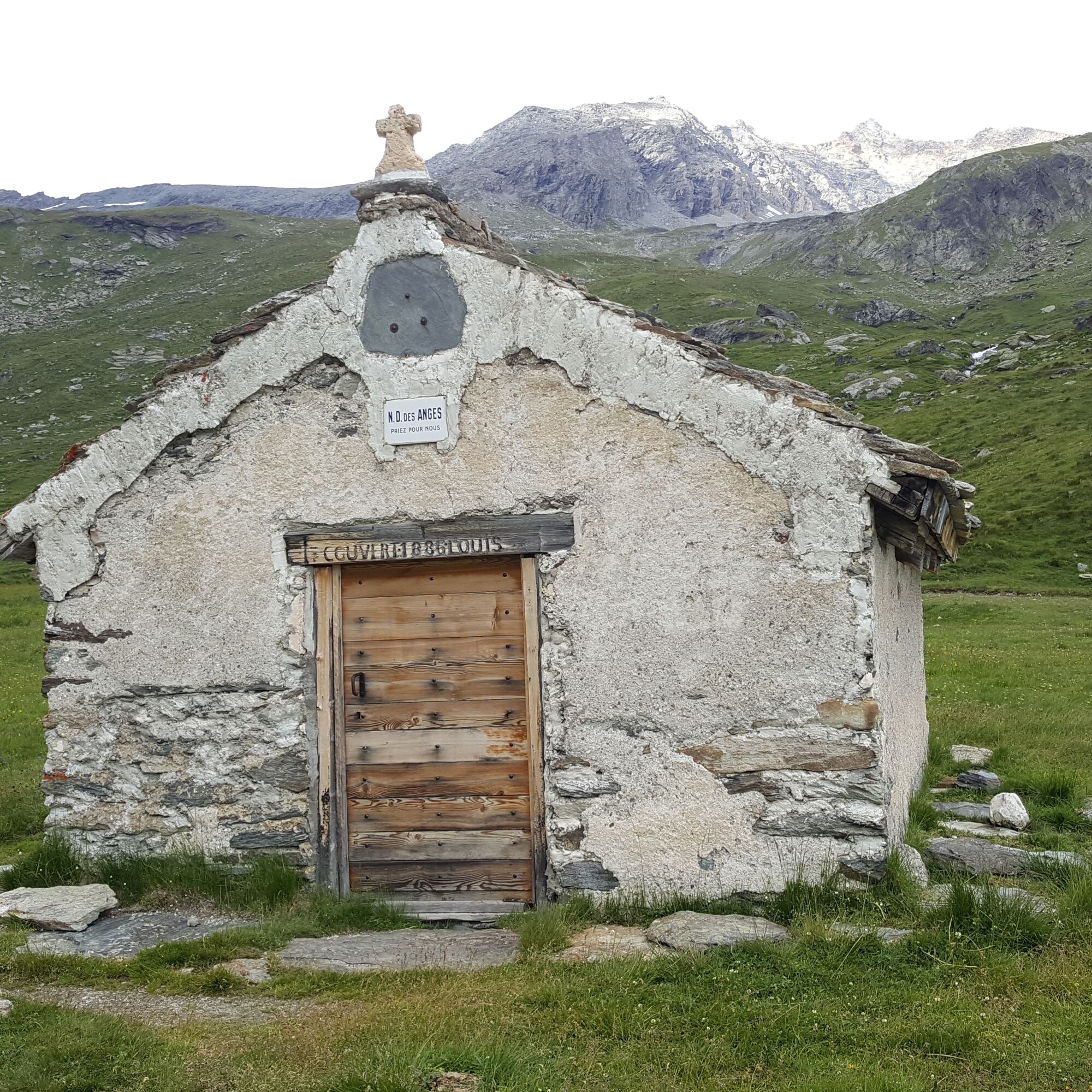
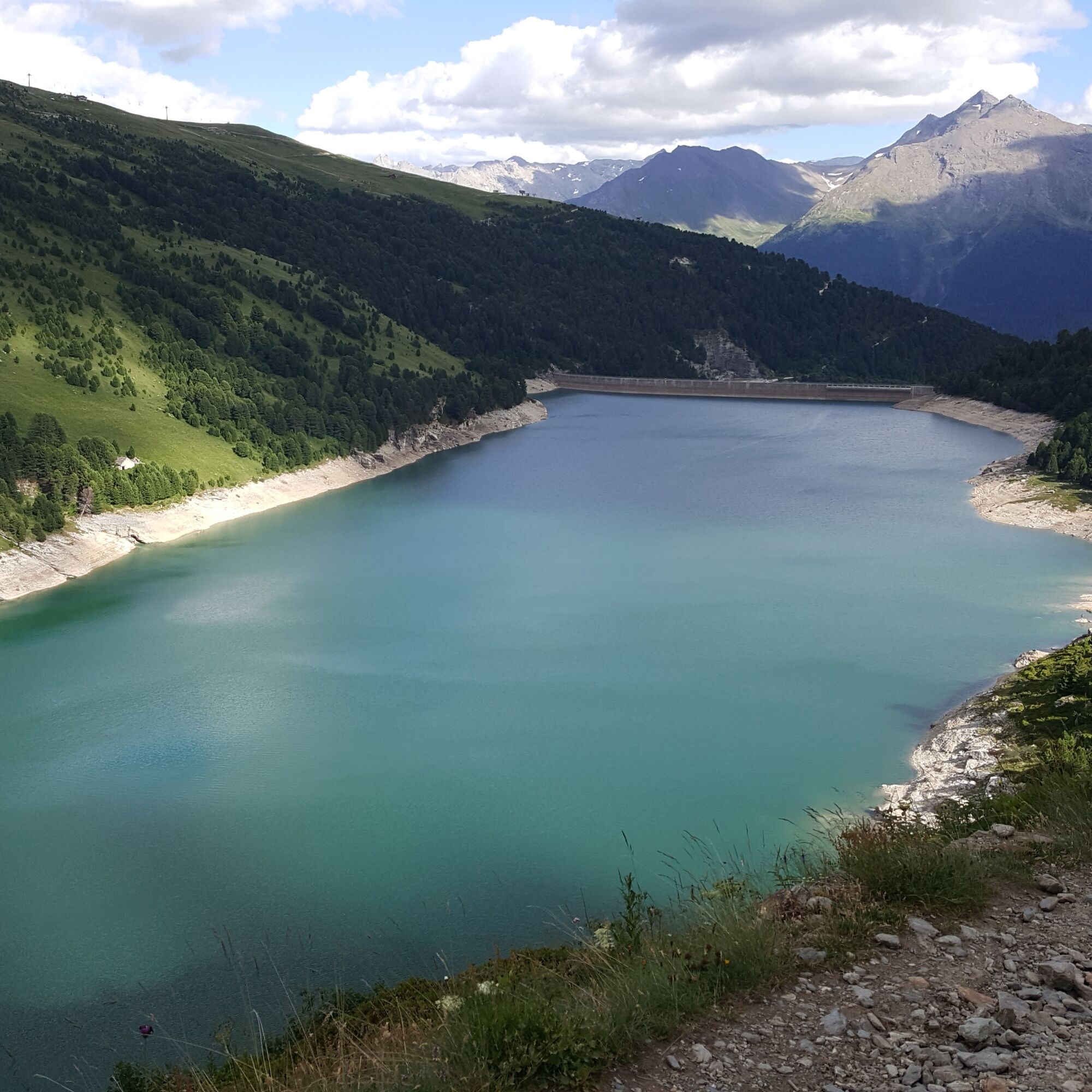
1/ From the dam parking lot, continue along the dirt road overlooking the dam. The path rises gently along the Lac de Plan d'Amont to the Pont de la Séteria. After crossing the torrent, continue to the crossroads, then leave the GR5 (refuge de la Fournache) to turn left towards the refuge du Fond d'Aussois. Once on the plateau, pass by the Chapelle Notre-Dame des Anges built in 1886 by Louis Couvert. The route then passes the Chalet de la Marie, which was the refuge until 2003. After a final climb, you arrive at the new Fond d'Aussois refuge (CAF), built in 2004. If you're feeling more sporty, you can venture up to the Col d'Aussois and the Pointe de l'Observatoire at 3015 m (beware, it's much more vertiginous): allow 3h15 round trip.
Refuge en Famille" label. You must book your overnight stay in a refuge in advance. Stay on the trails and follow the signs, and take your garbage with you.
Popularne wycieczki w okolicy
-
Refuge du Fond d'Aussois - a wild valley in the Vanoise - 2-day hike
światłoWędrówka 9,22 km -
The White Lake
światłoWędrówka 4,42 km -
5,0
The Builder's Trail on foot
światłoTrasa tematyczna 7,23 km -
Col du Mont Cenis from Lanslebourg
ciężkiDroga rowerowa 9,84 km -
5,0
Goldtoni - Alpenbogen A068 Refuge de la Leisse-Termignon Val Cenis
średnidługodystansowy szlak pieszy 28,7 km -
Col de l'Iseran from Modane
ciężkiDroga rowerowa 59,5 km -
Col du Mont Cenis from Modane
ciężkiDroga rowerowa 34,8 km -
5,0
Walking tour of the Plan du Lac refuge
światłoWędrówka 4,58 km -
Petit Mont-Cenis pass
ciężkiDroga rowerowa 18,0 km -
5,0
Girarde footpath
światłoWędrówka 8,10 km

Wędrówki i tropienie


Nie przegap ofert i inspiracji na następne wakacje
Twój adres e-mail została dodana do listy mailingowej.