







Refuge du Thabor - Wild weekend - 2 or 3-day hike
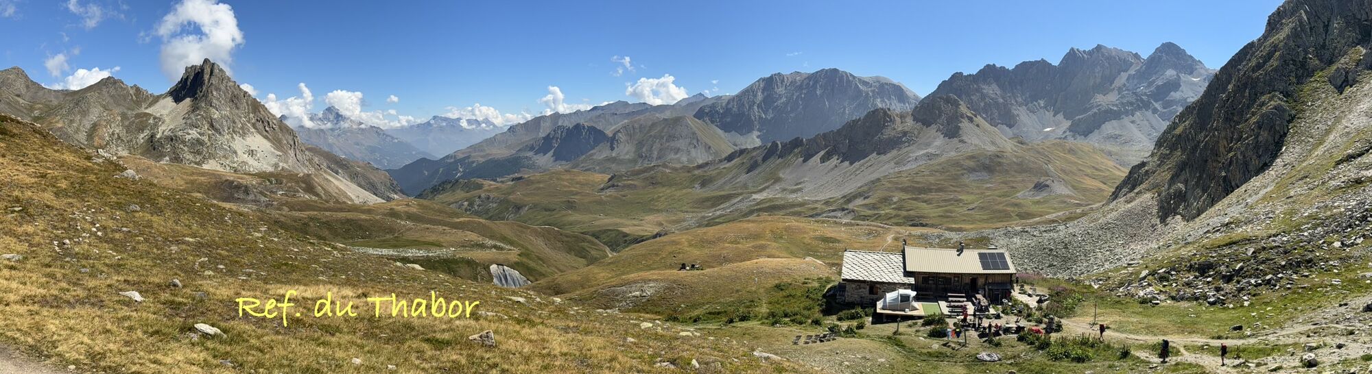

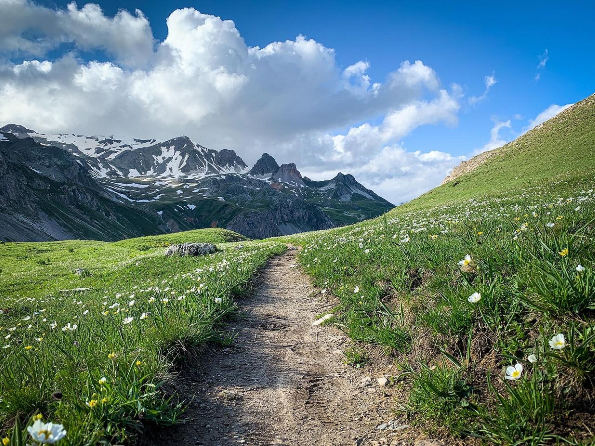
Leaving the Lavoir, the first ascent on a track is a little steep, but you'll soon forget all about it when you reach the Loza water intake. The path winds through the alpine pastures, from chalet to chalet,...
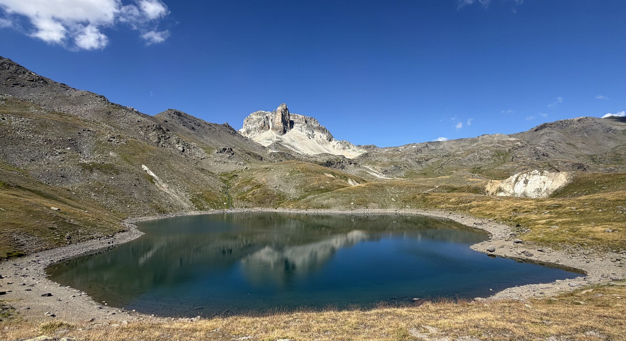
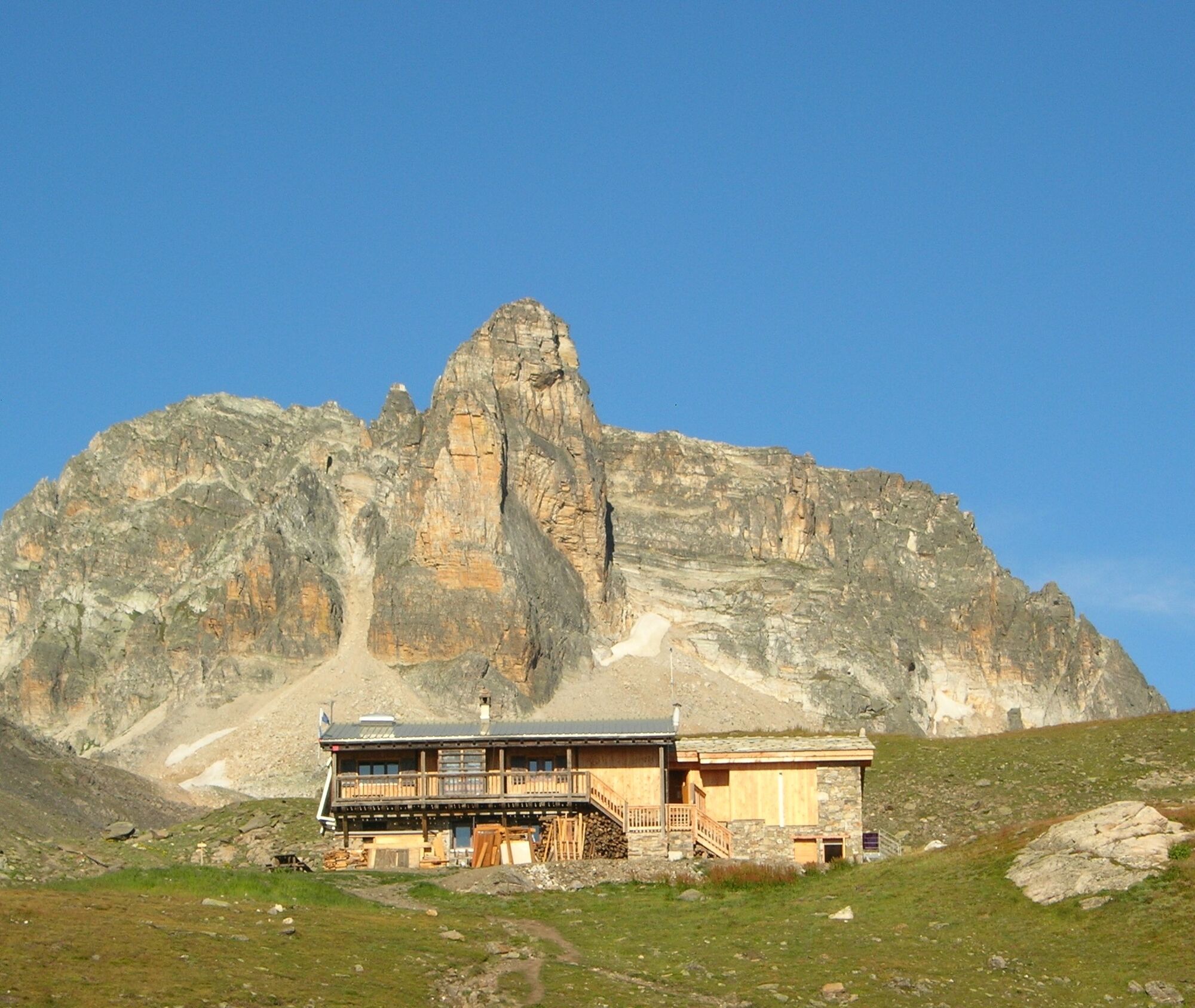
Planted at the foot of Mont Thabor, which serves as its backdrop, the refuge, which will be your base camp for the night, quietly awaits you on the shores of Lac Sainte-Marguerite and Lac Long.
If some of you dream of climbing to the summit, you'll have to get up early tomorrow morning. Make sure your calves are strong enough to tackle the Thabor.
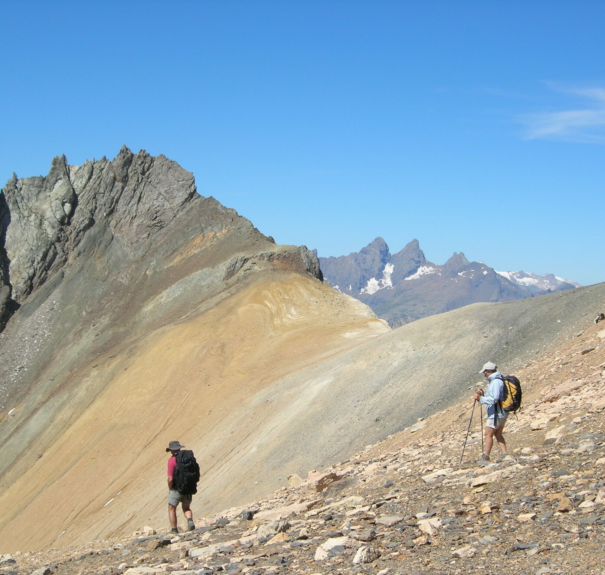
After the Col de la Vallée étroite, Lac Peyron and the Col des Méandes, the slope becomes steeper and the atmosphere more lunar. But the fullness of the site envelops you as you make your way to the chapel, like the French and Italian pilgrims who gather there every year.
The view from the summit is fantastic, embracing the highest peaks in the Alps, from Viso to La Meije.
You'll return to the refuge with your head full of grandiose images, filled with the serenity of these giants of stone. The rest of the group will be waiting for you to start the descent on the other side of the Charmaix stream... another great trip to share with family and friends.


Departure point: Parking du Lavoir in Val Fréjus.
1/ DAY 1: from the "Lavoir" to the "Refuge du Mont Thabor" / Time: 2h45 / Elevation gain: + 591 m / From the Lavoir, follow the GR 5 for a few switchbacks along the carriage path. At La Losa, next to a small reservoir, the path splits into a crow's foot. Leave the right-hand route to Les Sarrasins and continue on the GR 5 to the Col de Vallée Etroite (2434 m). At the Col, turn right to reach the Thabor refuge, where you can spend the night. 2/ DAY 2: from the "Refuge du Mont Thabor" to the "Lavoir" / Time: 1h15 / Elevation gain: - 594 m / From the refuge, the path leads into the Combe Grande Montagne and gradually descends to the Mounioz chalets, before reaching the Plan, then the Lavoir.
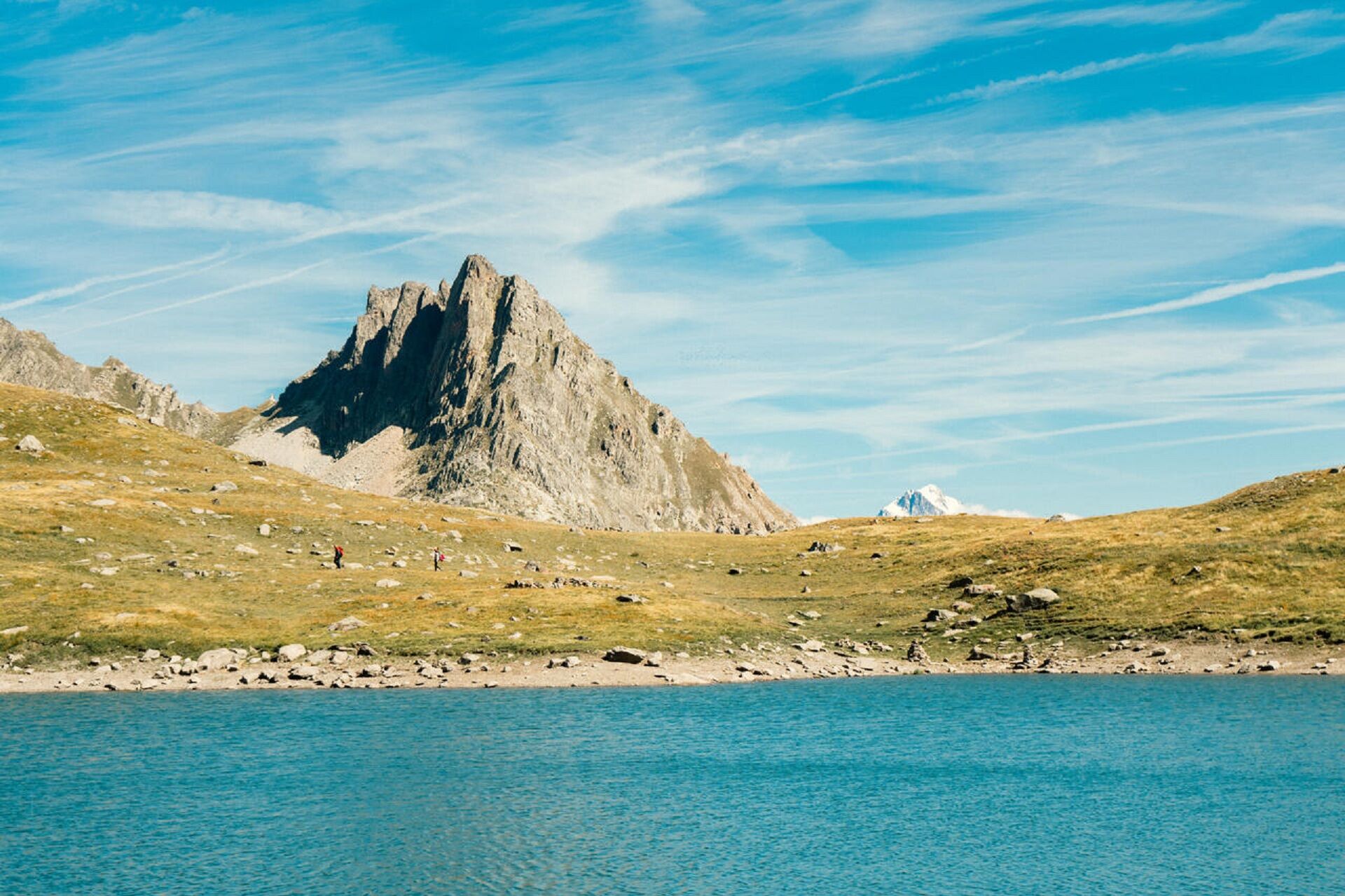
3/ ASCENTION DU MONT THABOR / Round trip time: 6h / Altitude gain: + 907 m and - 907 m / From the refuge, return to the Col de la Vallée Etroite, then leave the GR 5 heading down towards the narrow valley to cross through magnificent high altitude meadows. Cross a few large boulders on a short descent to reach the colorful Lac du Peyron, and follow its north shore. Skirt the rocky bar overlooking the lake, then continue onto the grassy plateau of Les Chances du Peyron at the foot of the rocky Grand Séru needle. The route then leads to the Col des Méandes, from where the final slope to the Thabor begins. Just before reaching the summit, take a short break at the chapel of Mont Thabor (ND des Douleurs), a pilgrimage site where Italian and French pilgrims gather every summer.
Tak
You must book your overnight stay in a refuge in advance. Stay on the trails, following the signs, and take your garbage with you.
Popularne wycieczki w okolicy
-
4,5
BARDONECCHIA Pian del Colle - Valle Stretta
średniRakieta do chodzenia po śniegu 5,02 km -
5,0
BARDONECCHIA Green Lake
światłoWędrówka 2,14 km -
4,7
BARDONECCHIA Col des Acles - Passo della Mulattiera
średniWędrówka 6,23 km -
4,5
BARDONECCHIA Walter Bonatti Path - Grange della Rho
średniWędrówka 6,06 km -
5,0
BARDONECCHIA Decauville
średniWędrówka 7,29 km -
GR® 57 Tour de la Haute-Clarée
średniWędrówka 83,8 km -
BARDONECCHIA Lago Verde
światłoMountainbike 10,7 km -
3,5
BARDONECCHIA Sentiero dei Cosetti by Luciano Ferraris
światłoWędrówka 3,24 km -
BARDONECCHIA Frejusia Basins - Decauville - Rochemolles Dam
światłoMountainbike 7,54 km -
4,0
BARDONECCHIA Lucianina Path - Grange di Valle Stretta
średniWędrówka 5,18 km
Wędrówki i tropienie


Nie przegap ofert i inspiracji na następne wakacje
Twój adres e-mail została dodana do listy mailingowej.





