Hiking to the Col de Sollières
średni
Pobierz tę trasę na swój telefon komórkowy
Hiking to the Col de Sollières
średni
Wędrówka
12,03
km
Zeskanuj kod QR i rozpocznij nawigację w aplikacji bergfex.


Wędrówki i tropienie





Hiking to the Col de Sollières
średni
Odległość
12,03
km
Czas trwania
04:00
h
Ascent
529
hm
Poziom morza
2 098 -
2 638
m
Ścieżka do pobrania
Hiking to the Col de Sollières
średni
Wędrówka
12,03
km
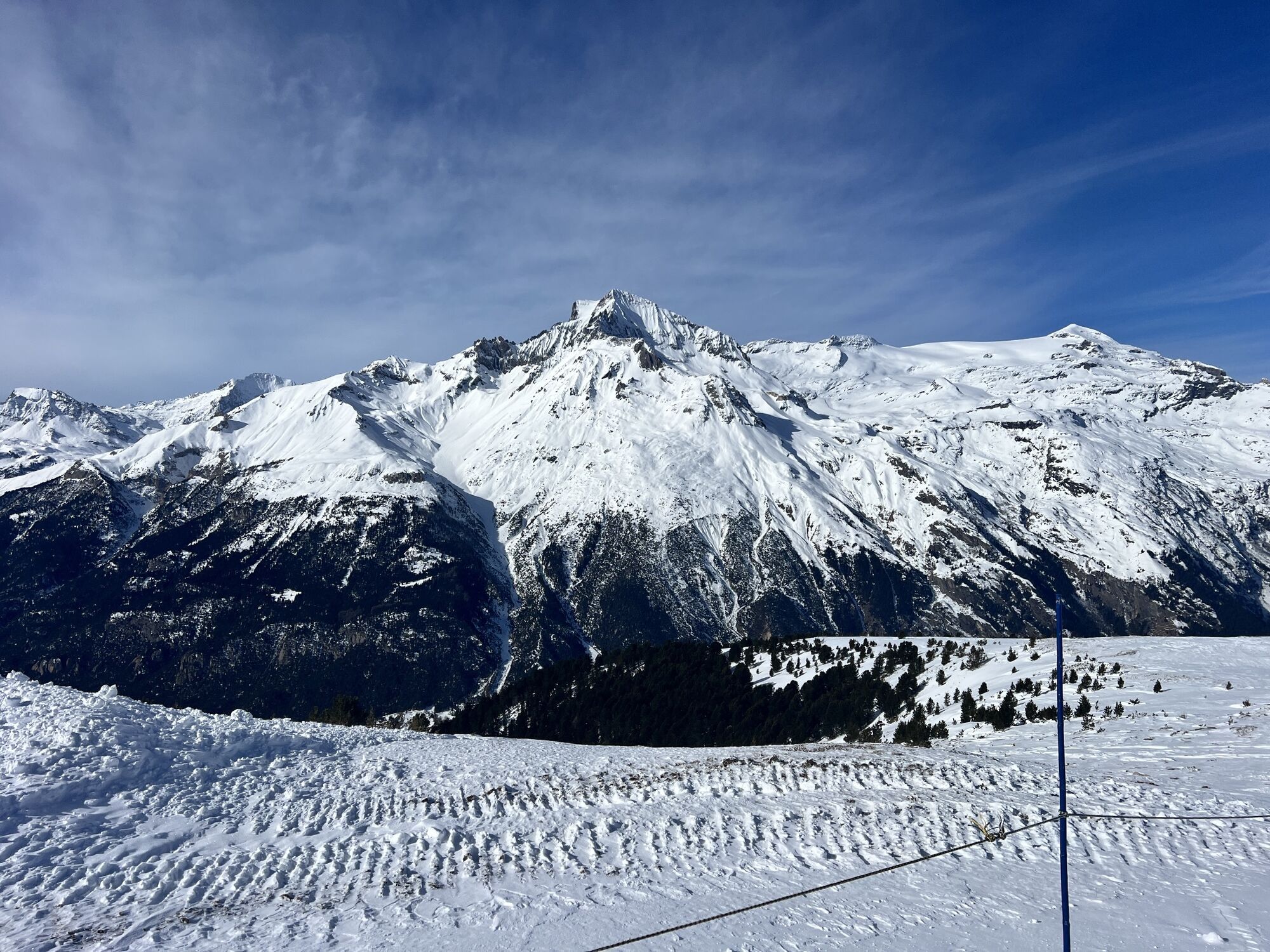
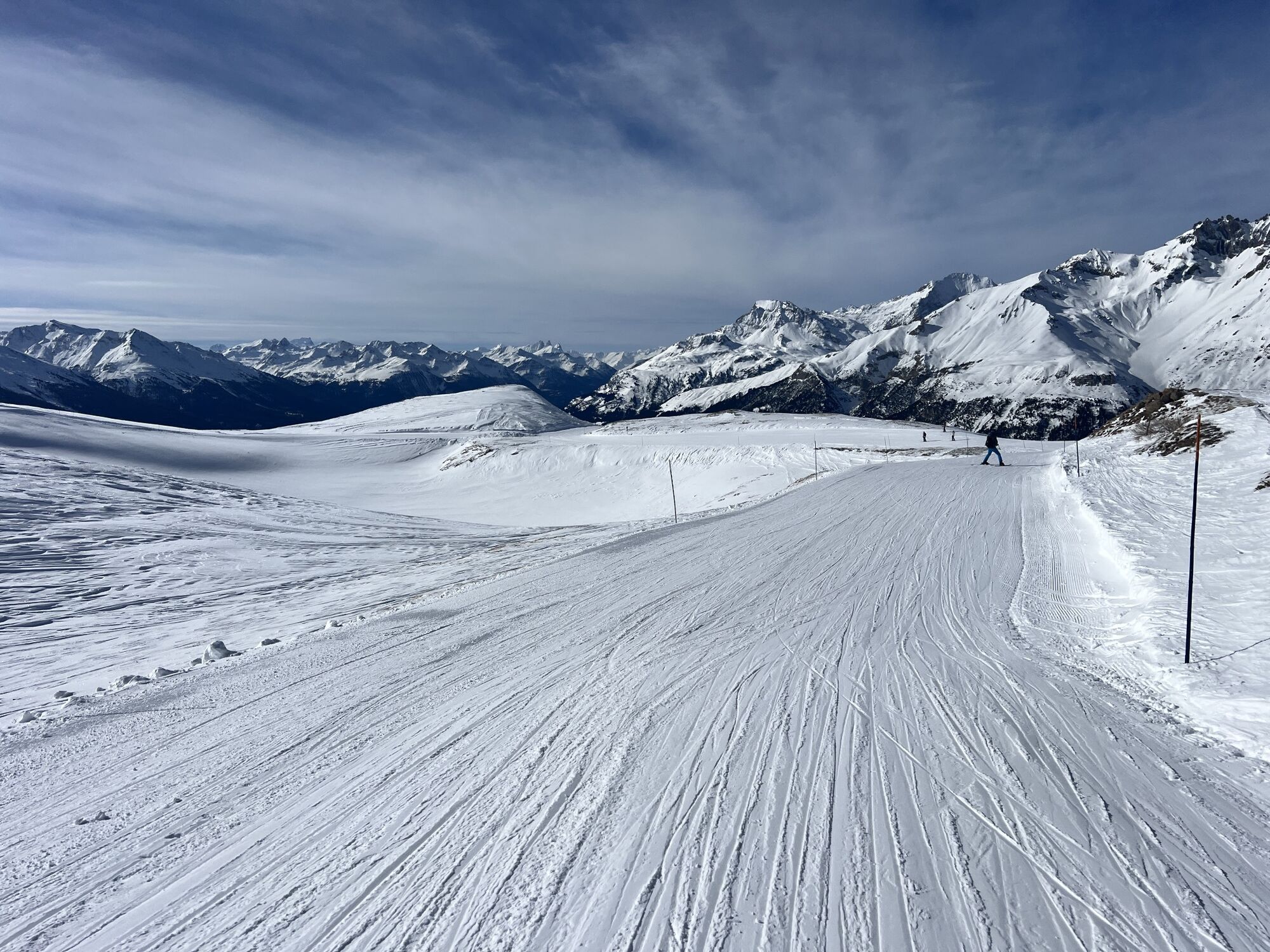
In summer, take advantage of the comfort of the lifts, as it's easier to get to the start via the Roches Blanches chairlift.
Set off to discover a high-altitude loop that will require physical strength...
Opis
In summer, take advantage of the comfort of the lifts, as it's easier to get to the start via the Roches Blanches chairlift.
Set off to discover a high-altitude loop that will require physical strength if you start directly from the village of Val Cenis Termignon. You'll be surprised by the low grassy ridges contrasting with the dense ubac forest up to the Replat des Canons.
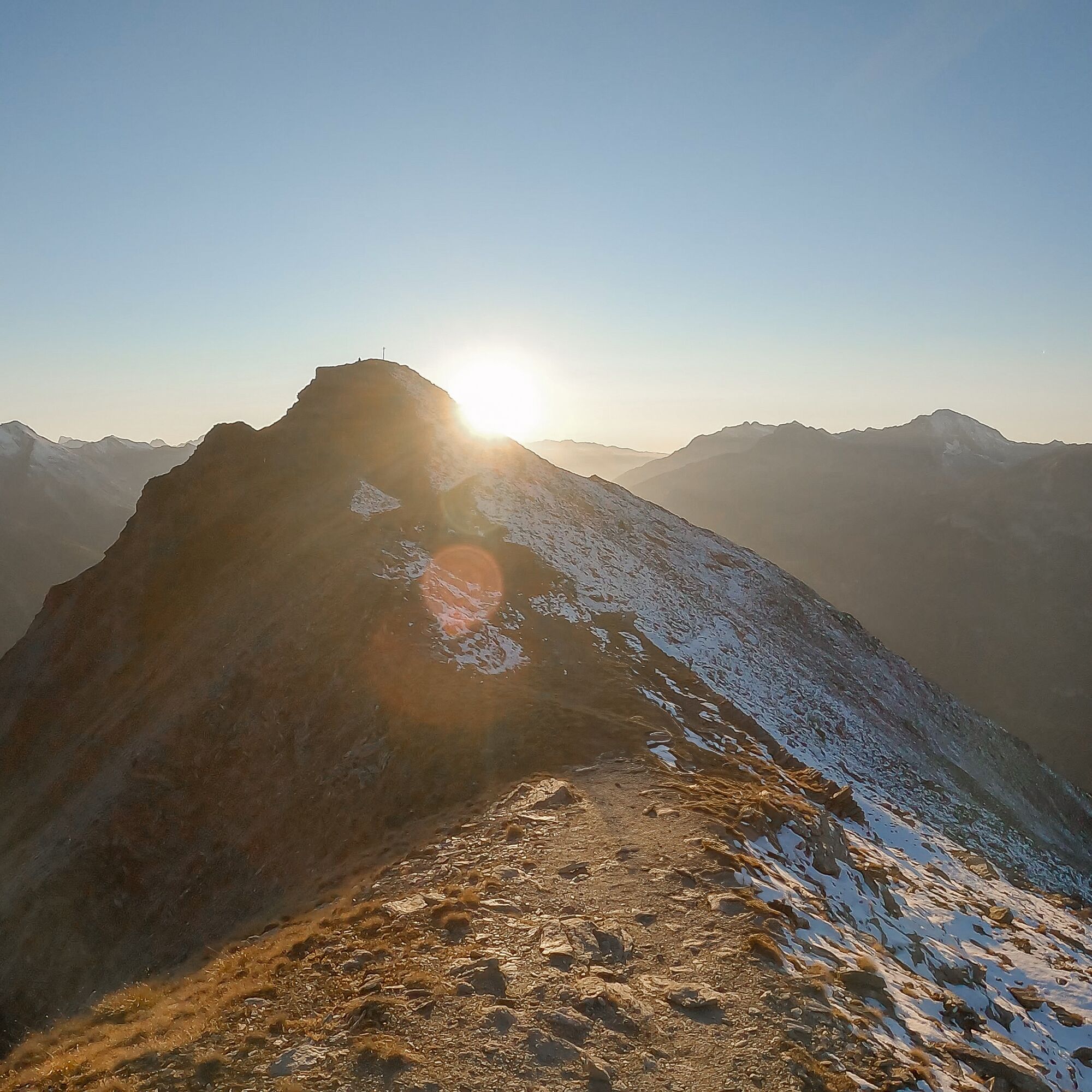
Once well underway, looking south-east, you catch a fleeting glimpse of Lac Martin, marking your entry into wilder lands. The freedom of the great outdoors awaits you. The whistling of marmots escorts you to the Col de Sollières. Perhaps you'll meet up with some seasoned trailers who've climbed from Le Cernay via Les Archettes...
The Mont froid and its steeper slopes were just waiting to seduce you from its former military fort. Share a panoramic view before threading your way under the Signal du Petit Mont Cenis for a playful descent. You'll be intoxicated by the high altitude and fresh air of the Val Cenis ski area!
Set off to discover a high-altitude loop that will require physical strength if you start directly from the village of Val Cenis Termignon. You'll be surprised by the low grassy ridges contrasting with the dense ubac forest up to the Replat des Canons.
Once well underway, looking south-east, you catch a fleeting glimpse of Lac Martin, marking your entry into wilder lands. The freedom of the great outdoors awaits you. The whistling of marmots escorts you to the Col de Sollières. Perhaps you'll meet up with some seasoned trailers who've climbed from Le Cernay via Les Archettes...
The Mont froid and its steeper slopes were just waiting to seduce you from its former military fort. Share a panoramic view before threading your way under the Signal du Petit Mont Cenis for a playful descent. You'll be intoxicated by the high altitude and fresh air of the Val Cenis ski area!
Trasa
Replat des Canons
(2 040 m)
Korytarz/teren
0,0 km
Replat des Canons
(2 040 m)
Korytarz/teren
12,0 km
Trasa
Hiking to the Col de Sollières
średni
Wędrówka
12,03
km
Replat des Canons
(2 040 m)
Korytarz/teren
0,0 km
Replat des Canons
(2 040 m)
Korytarz/teren
12,0 km
Autor
Dostarczone przez Haute Maurienne Vanoise
Wycieczkę Hiking to the Col de Sollières zapewnia outdooractive.com.


Informacje o trasie
Trasa
To guide you in the field, consult the "step-by-step" directional diagram provided in pdf.
Dodatkowe informacje i wskazówki
Dodatkowe informacje
The duration of hiking trails is calculated using reference paces: 300 m/h ascent, 500 m/h descent and 4 km/h on the flat.
As hazards may occur at any time on the routes, the GPX tracks provided are not contractual. They are given for information only. Riders use them at their own risk, depending on their level of technological proficiency and their understanding of the terrain.
As hazards may occur at any time on the routes, the GPX tracks provided are not contractual. They are given for information only. Riders use them at their own risk, depending on their level of technological proficiency and their understanding of the terrain.
Nie ma jeszcze recenzji
Popularne wycieczki w okolicy
-
little 'Haute-Maurienne Vanoise' circuit
ciężkiDroga rowerowa 32,0 km -
Refuge du Fond d'Aussois - a wild valley in the Vanoise - 2-day hike
światłoWędrówka 9,22 km -
4,0
Hiking at Lake Clair
ciężkiWędrówka 6,99 km -
The White Lake
światłoWędrówka 4,42 km -
5,0
The Builder's Trail on foot
światłoTrasa tematyczna 7,23 km -
Col de l'Iseran from Modane
ciężkiDroga rowerowa 59,5 km -
Col du Mont Cenis from Modane
ciężkiDroga rowerowa 34,8 km -
Col du Mont Cenis from Lanslebourg
ciężkiDroga rowerowa 9,84 km -
5,0
Girarde footpath
światłoWędrówka 8,10 km -
5,0
Goldtoni - Alpenbogen A068 Refuge de la Leisse-Termignon Val Cenis
średnidługodystansowy szlak pieszy 28,7 km
Wędrówki i tropienie

Ponad 550.000 propozycji wycieczek, szczegółowe mapy i intuicyjny planer tras sprawiają, że aplikacja jest niezbędna dla wszystkich entuzjastów przyrody.

Nie przegap ofert i inspiracji na następne wakacje
Zapisz się do newslettera
Błąd
Wystąpił błąd. Spróbuj ponownie.
Dziękujemy za rejestrację
Twój adres e-mail została dodana do listy mailingowej.
Wycieczki po całej Europie
Austria
Szwajcaria
Niemcy
Włochy
Słowenię
Francja
Holandia
Belgia
Polska
Liechtenstein
Czechy
Słowacja
Hiszpania
Chorwacja
Bośnia i Hercegowina
Luksemburg
Andorra
Portugalia
Islandia
Wielka Brytania
Irlandia
Grecja
Albania
Macedonia Północna
Malta
Norwegia
Czarnogóra
Mołdawia
Kosowo
Węgry
San Marino
Rumunia
Estonia
Łotwa
Białoruś
Cypr
Litwa
Serbia
Bułgaria
Monako
Dania
Szwecja
Finlandia





