


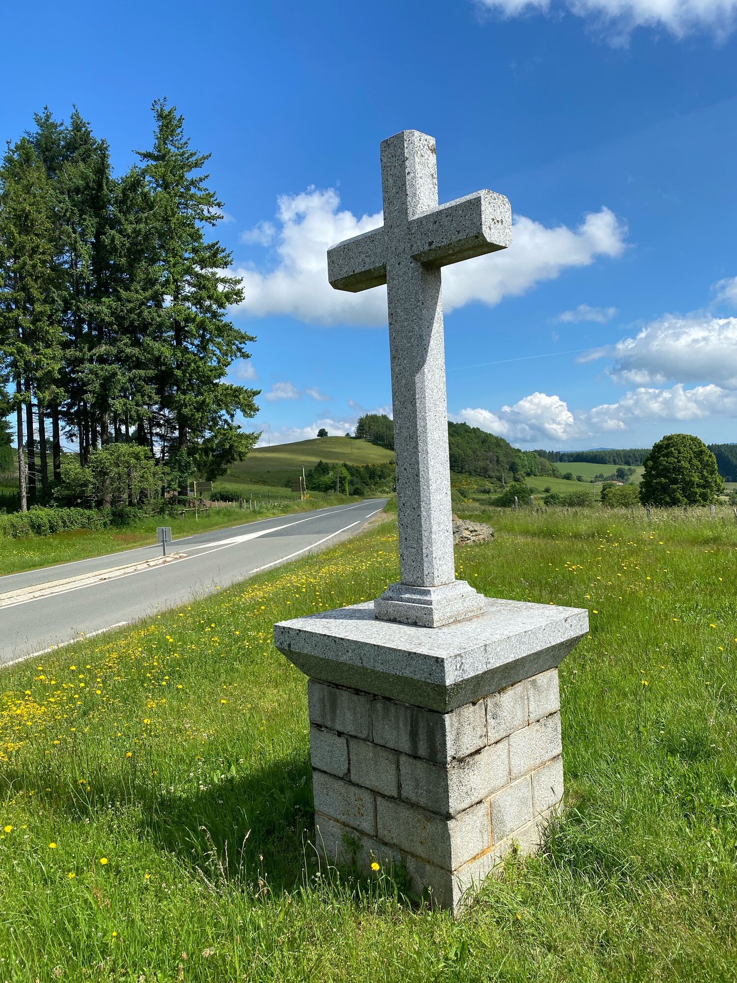
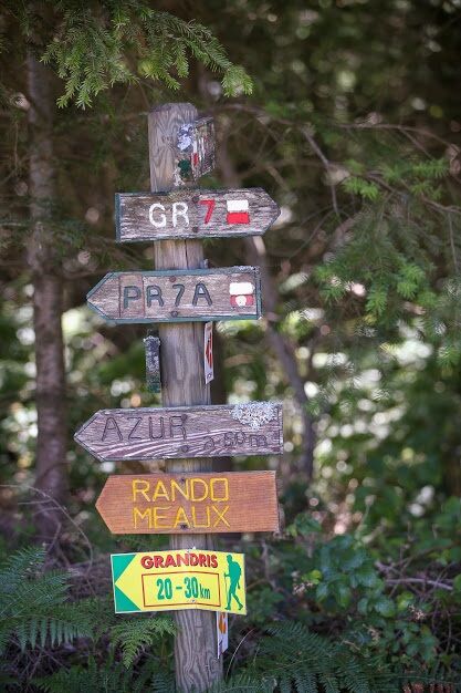
Long hiking trail GR7
Stretching 951 km, the GR® 7 trail "From the Vosges to the Pyrenees" begins at the Ballon d’Alsace and ends in Andorra. "Crossing the Massif Central through the Parks", from Macon to Castelnaudary, which...
Stretching 951 km, the GR® 7 trail "From the Vosges to the Pyrenees" begins at the Ballon d’Alsace and ends in Andorra. "Crossing the Massif Central through the Parks", from Macon to Castelnaudary, which takes about 60 days of walking, is a route that passes notably through Maconnais, Beaujolais Vert, the Monts du Lyonnais, the Pilat Regional Natural Park, Mount Mézenc, Mount Gerbier de Jonc, the Ardèche Mountains Regional Natural Park, Mount Lozère, the Cévennes National Park, Mount Aigoual, the Navacelles Cirque, the Haut-Languedoc Regional Natural Park, and the Black Mountain. A guidebook published by the French Hiking Federation makes it possible to follow the exact route of the GR® 7.

Popularne wycieczki w okolicy
The forest of Flachère - Beaujolais - Légny
światłoWędrówka 6,68 kmLa forêt de la Cantinière - Beaujolais - Saint-Cyr-le-Châtoux
światłoWędrówka 11,3 kmDe l’Aze à l’Ergues - Beaujolais Vert - Claveisolles
światłoWędrówka 13,0 kmCircuit de découverte du patrimoine
światłoWędrówka 2,19 kmFrom Oingt to Col du Châtoux - Beaujolais - Oingt - Val d'Oingt
ciężkiWędrówka 15,1 kmDes dégringoules* au vert - Beaujolais - Amplepuis
światłoWędrówka 5,13 kmThe golden stones - Between Pierres Dorées and Val d’Azergues - Loop 7.4
ciężkiDroga rowerowa 57,6 kmThe forest of Brou - Beaujolais - Dième
światłoNordic Walking 10,5 kmThe Cantinière forest
światłoTrasa tematyczna 2,96 kmMa première nuit étoilée - Beaujolais - Tarare
ciężkiWędrówka 36,5 km
Wędrówki i tropienie


Nie przegap ofert i inspiracji na następne wakacje
Twój adres e-mail została dodana do listy mailingowej.