






Yzeron Valley
From the start, follow the PDIPR signs: Village - Old Station - Chambany - Moulin Vieux - Grande Cour - Le Brochaillon - Pont Jaquemet - Intercommunal Pool - Old Station - Village.
The village of Grézieu-la-Varenne,...
The village of Grézieu-la-Varenne, with its varied heritage, bears witness to different eras: the Roman bridge, remains of the old city wall (Square Tower and Round Tower), old crosses, the Château de la Barge, typical square farms, the old railway viaduct. A testament to the activity of the launderers of western Lyon, who until the 1950s washed the laundry of religious communities and the great Lyon families, the Launderer’s House immerses you in the heart of a farm where laundry activity complemented the cultivation of vines, orchards, and vegetable gardens.

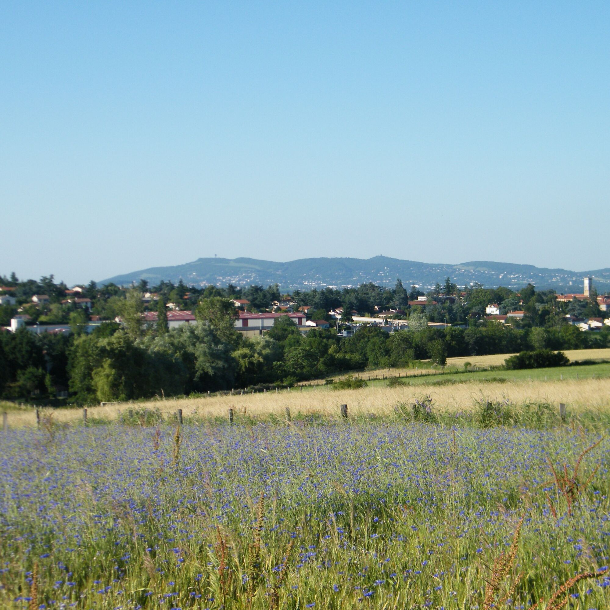
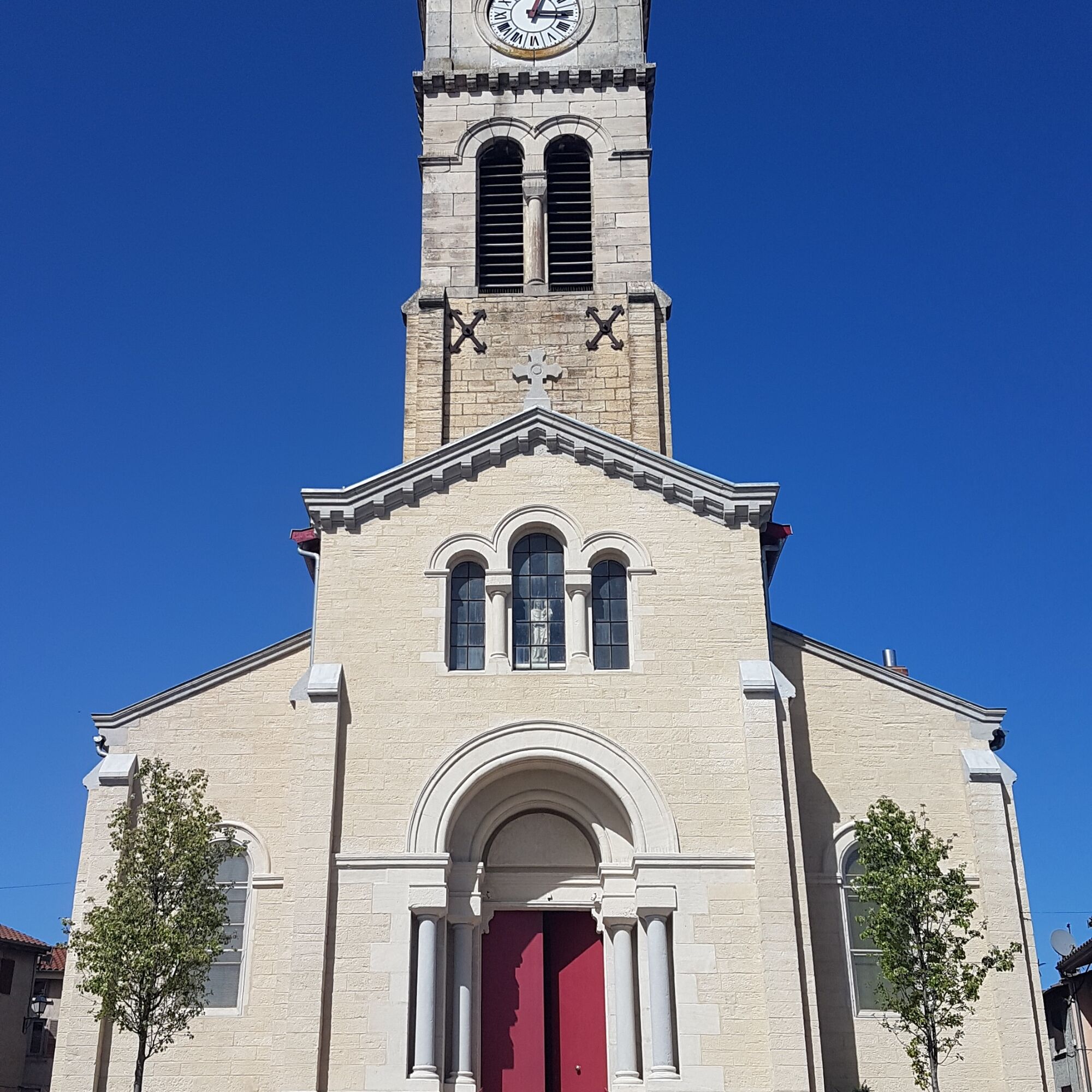

Plan for good shoes and equipment according to the weather.
In case of emergency, call 112.
Take the TCL bus C24, departing from Gorge de Loup towards Gymnase E. Catalon, it passes through Tassin la Demi-Lune, Francheville, and Craponne. Get off at the "Grézieu-la-Varenne" stop, which is a few dozen meters from the starting point of the route.
It runs every day, but be aware of different schedules during school holiday periods.
The departure is from a small free car park with about fifteen spaces. Parking is also possible in the village center.
Please stay on the paths and respect the crops. Remember to bring enough water, hiking shoes, and clothing suitable for your outing according to the announced weather. A small first aid kit is also recommended.
Popularne wycieczki w okolicy
- 5,0
Walk to the Garon siphon bridge of the Roman Aqueduct of Gier
światłoWędrówka 6,08 km The Signal - Monts du Lyonnais - Saint-André-la Côte
światłoWędrówka 14,5 kmRoman Gier Aqueduct path
ciężkiWędrówka 44,4 kmThe Tacot, ephemeral journey
światłoTrasa tematyczna 1,91 kmWine trails at the heart of the vineyards
światłoWędrówka 4,92 kmRegina, Duroni, Sweetheart - Monts du Lyonnais - Bessenay
światłoWędrówka 13,6 kmHealth-sport hike: the Croix Forest bridge
światłoWędrówka 9,78 kmWalking towards the Aqueduct of Gier - Monts du Lyonnais - Chaponost
światłoWędrówka 8,25 kmFamily hike "In the heart of the orchards"
światłoWędrówka 4,04 kmRoute around the Tourette
światłoWędrówka 10,6 km
Wędrówki i tropienie


Nie przegap ofert i inspiracji na następne wakacje
Twój adres e-mail została dodana do listy mailingowej.





