







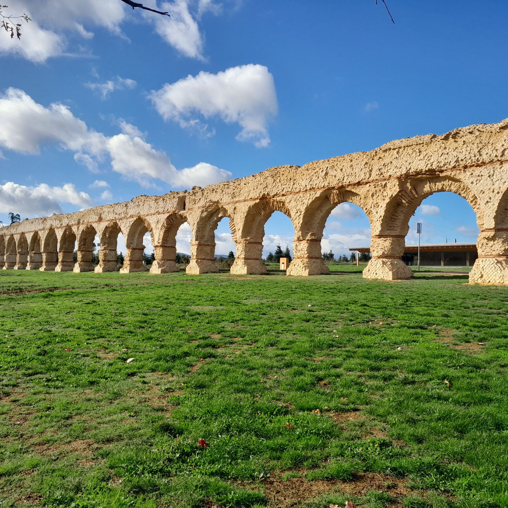
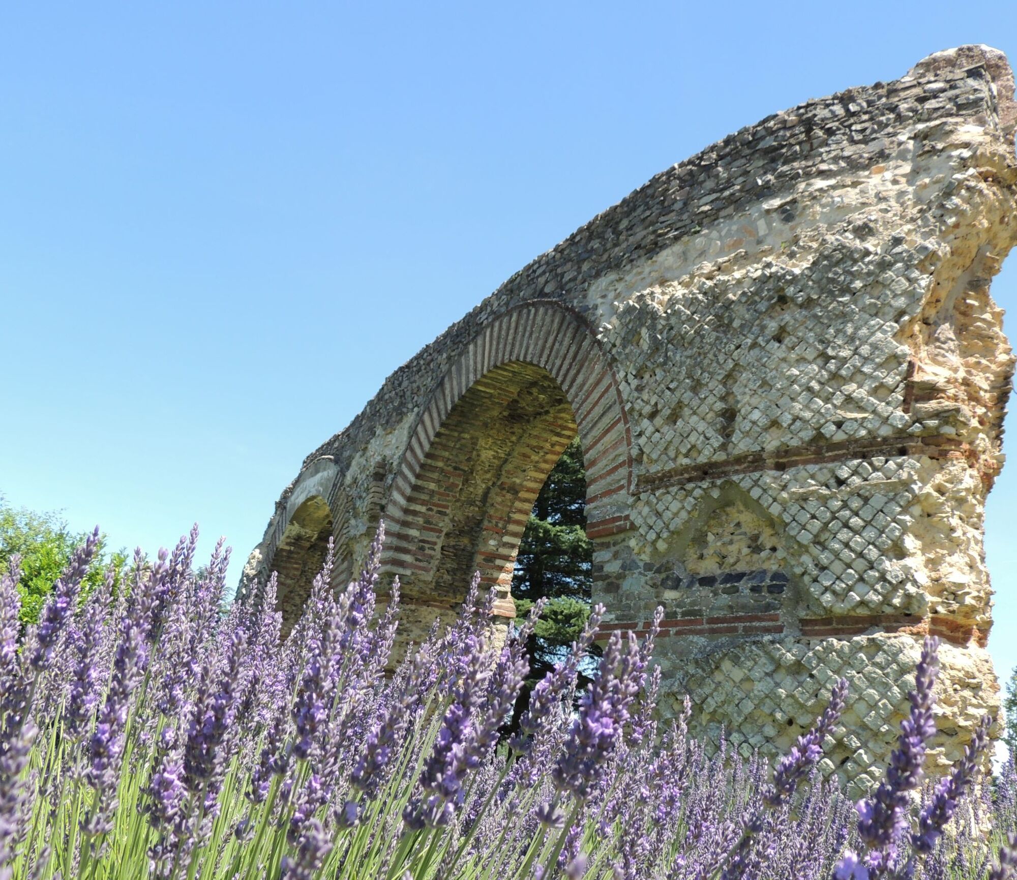
Walking towards the Aqueduct of Gier - Monts du Lyonnais - Chaponost
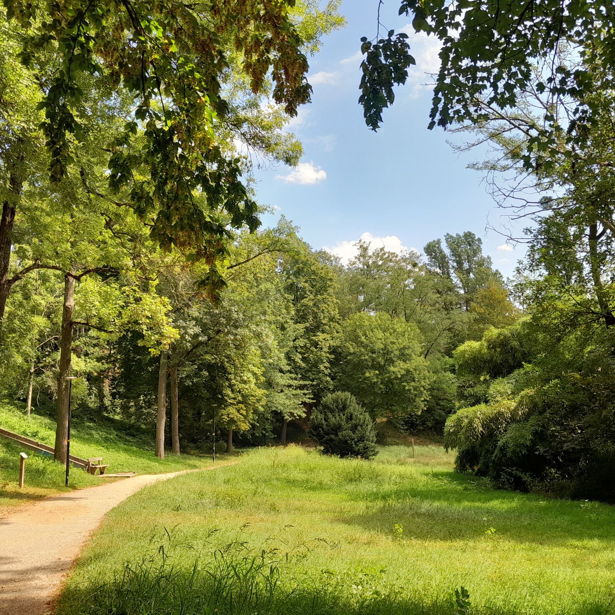
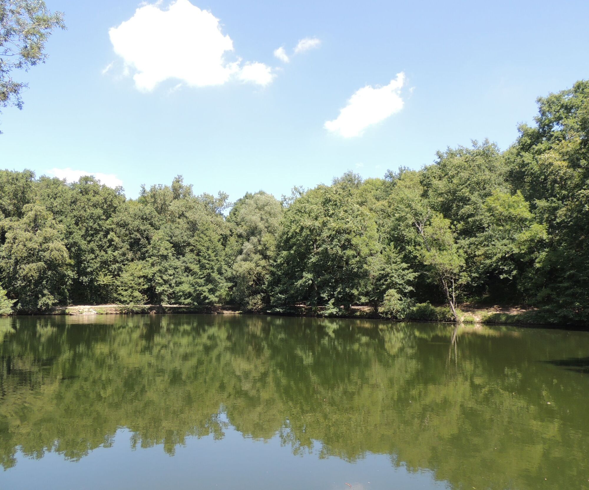
A countryside atmosphere in the city, especially with the crossing of the very beautiful Boulard wooded park. It once housed the field house of Anthelme Bergeron, a landscape painter from the Lyon school.
Beautiful...
Beautiful views of the Monts du Lyonnais, the Pilat and the hill of Fourvière during the hike
Browse sections of two major GR®, Saint-Jacques-de-Compostelle - GR®765 – linking Lyon to Puy-en-Velay and the Chemin de Montaigne - GR®89 – retracing the route that the writer travelled from Rome to Bordeaux.
When and how to take advantage of it?
In any season, to enjoy the changing atmosphere of Boulard Park whose colours vary over time and walk along orchards in bloom in spring.
Enrich your social networks with photos of the aqueduct, an essential "instagram" site in the west of Lyon.
At sunset, on summer evenings, for a picnic in the heart of the ancient setting of the aqueduct or under the cool trees of the Boulard Park.
Come for the cultural festivities organised around the aqueduct in early summer.


Set off on your hike with a light spirit
Check the weather Shoes and suitable clothing A light backpack A first aid kit Water and food Go at your own pace Read maps, prepare your routeEmergency phone numbers :
European emergency call number : 112
SAMU : 15
Police emergency : 17
Firefighters : 18
Emergency number for deaf and hard of hearing people: 114
Wildlife care center l’Hirondelle : 04 74 05 78 85
French Office for Biodiversity : 04 74 69 49 32
22 minutes from Lyon, take the via A7 and A450.
From Saint Paul station in Lyon, take the TER to Brignais and get off at Chaponost.
Place Foch in front of the church and the media library
An error on this sheet? Write to the owner referencing this information:
Sheet name: Walking to the Aqueduct of Gier - Monts du Lyonnais - Chaponost | Sheet ID: 6029368 | URL (link) of this Outdooractive page.
Popularne wycieczki w okolicy
-
5,0
Walk to the Garon siphon bridge of the Roman Aqueduct of Gier
światłoWędrówka 6,08 km -
Roman Gier Aqueduct path
ciężkiWędrówka 44,4 km -
Wine trails at the heart of the vineyards
światłoWędrówka 4,92 km -
The Tacot, ephemeral journey
światłoTrasa tematyczna 1,91 km -
Health-sport hike: the Croix Forest bridge
światłoWędrówka 9,78 km -
Let's walk in the woods - Monts du Lyonnais - Pollionnay
światłoWędrówka 12,6 km -
Family hike "In the heart of the orchards"
światłoWędrówka 4,04 km -
MTB Route 231 - Les Landes de Montagny
ciężkiMountainbike 19,9 km -
In the heart of the Millery vineyards
światłoWędrówka 9,96 km -
MTB Circuit 241 - The Garon Valley
ciężkiMountainbike 25,4 km

Wędrówki i tropienie


Nie przegap ofert i inspiracji na następne wakacje
Twój adres e-mail została dodana do listy mailingowej.





