Cycling loop on the banks of the Rhône river: easy loop on cycling paths
światło
Nawigacja
Nawigacja
Pobierz tę trasę na swój telefon komórkowy
Cycling loop on the banks of the Rhône river: easy loop on cycling paths
światło
Droga rowerowa
24,72
km
Zeskanuj kod QR i rozpocznij nawigację w aplikacji bergfex.

Wędrówki i tropienie


Cycling loop on the banks of the Rhône river: easy loop on cycling paths
światło
Odległość
24,72
km
Czas trwania
04:05
h
Ascent
28
hm
Poziom morza
229 -
243
m
Ścieżka do pobrania
Cycling loop on the banks of the Rhône river: easy loop on cycling paths
światło
Droga rowerowa
24,72
km
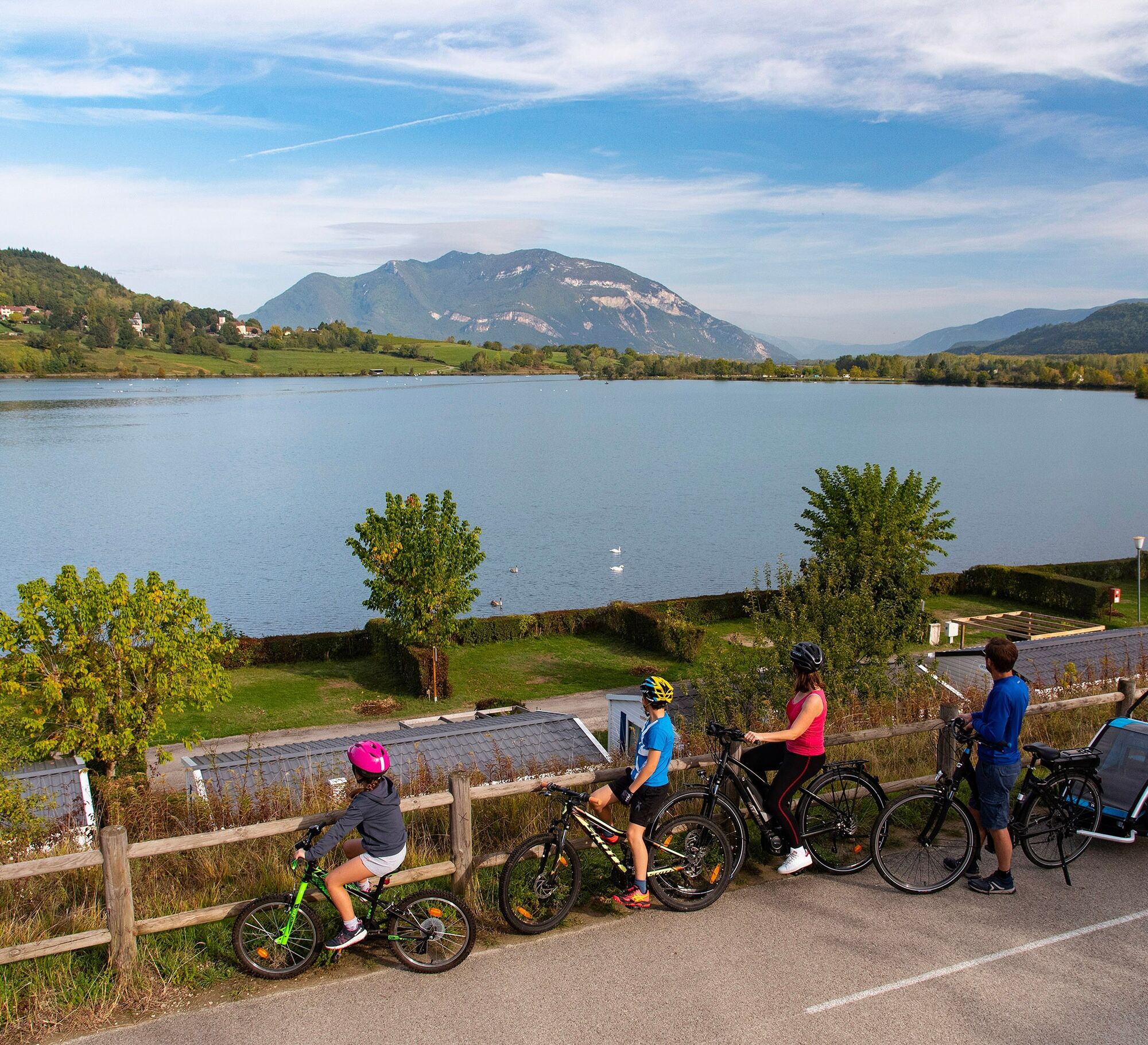
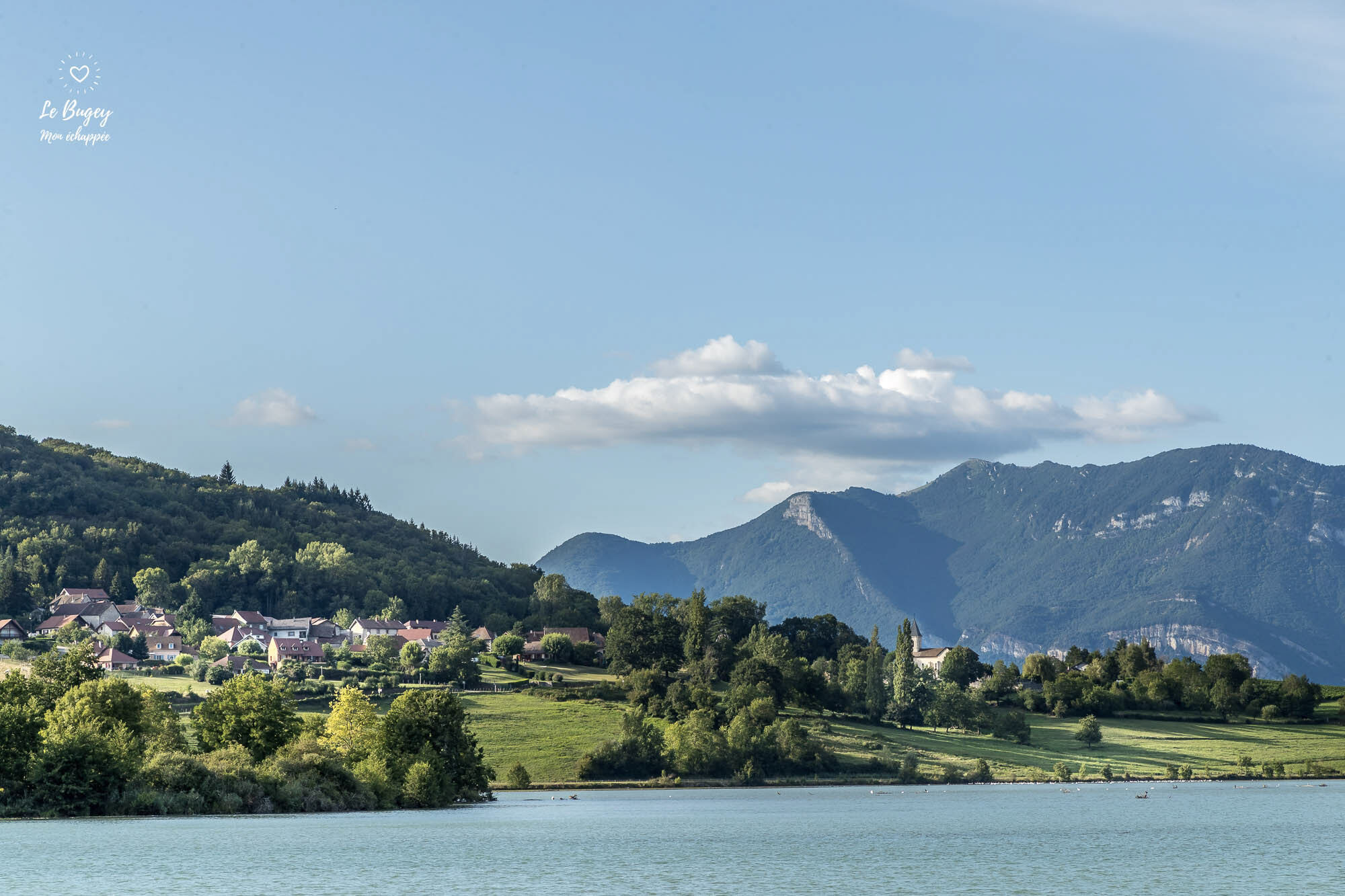
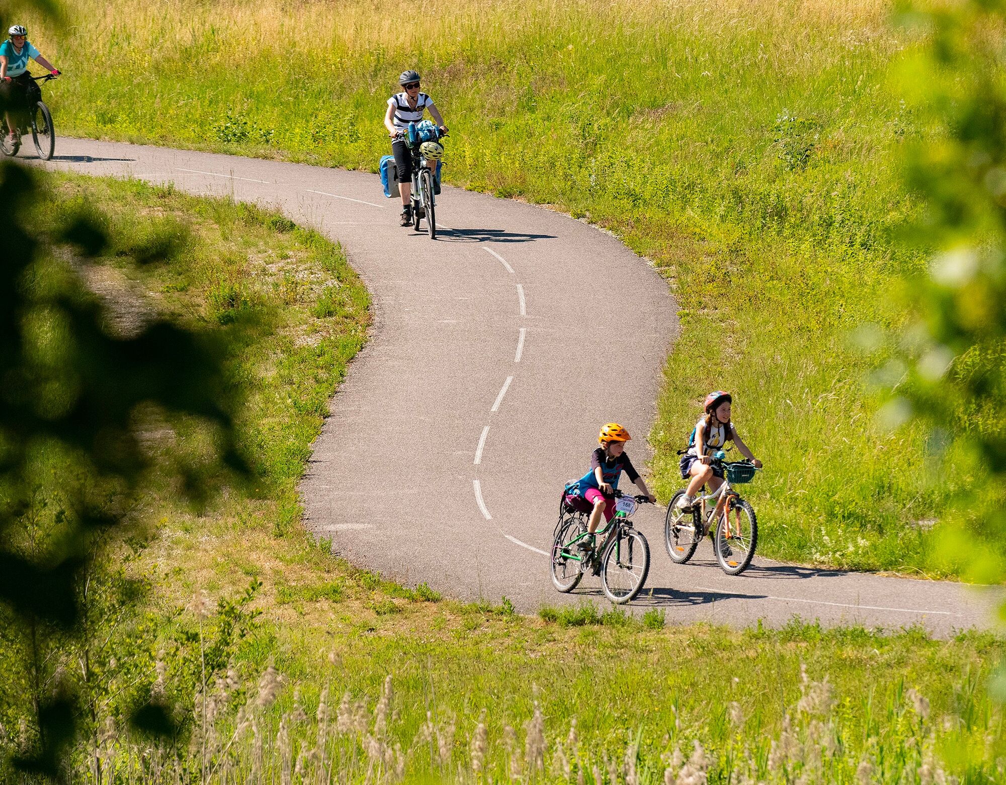
Starting from the port of Massignieu-de-Rives, the Culoz train station, or the Pont de la Loi, enjoy a leisurely loop along both banks of the Rhône River.
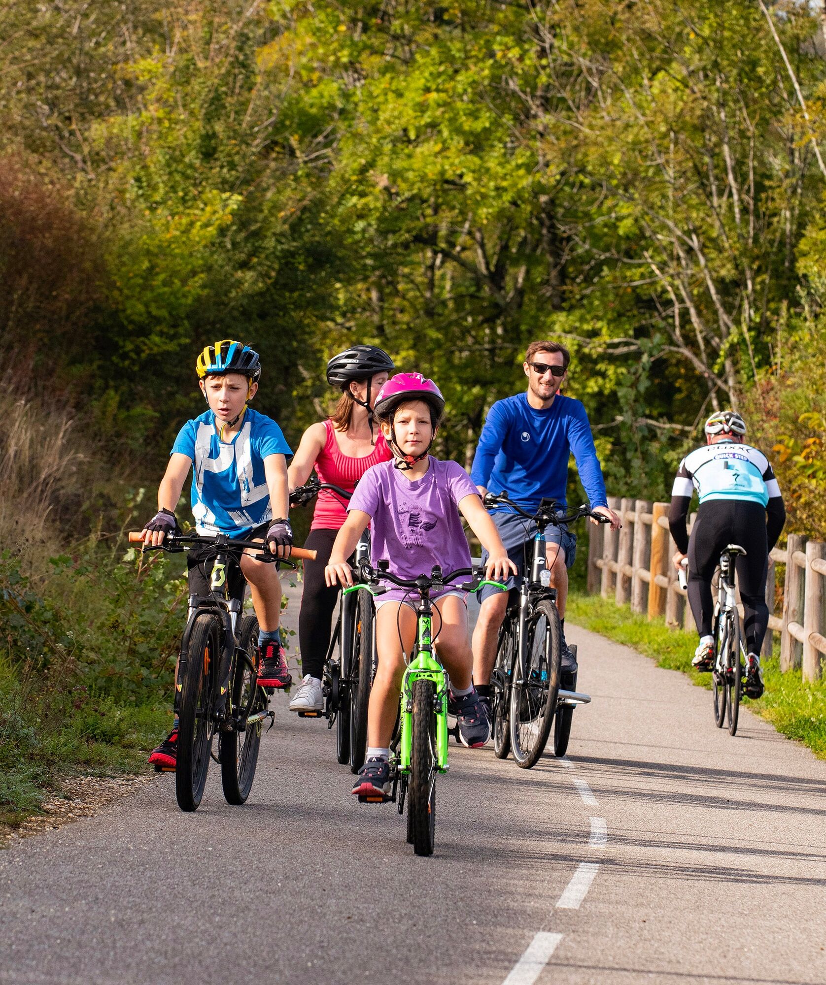
Ideal for families, this roughly 20-kilometer loop...
Opis
Starting from the port of Massignieu-de-Rives, the Culoz train station, or the Pont de la Loi, enjoy a leisurely loop along both banks of the Rhône River.
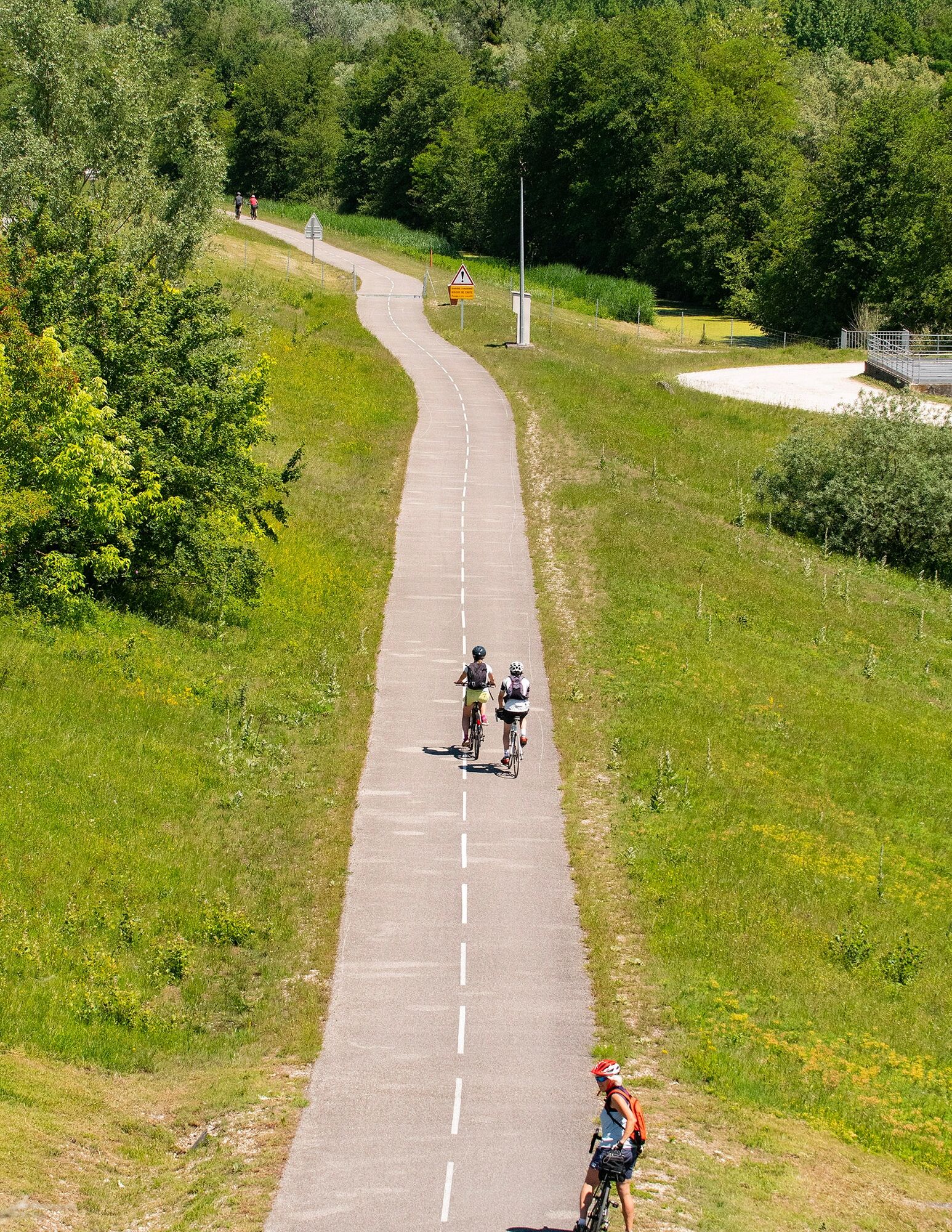
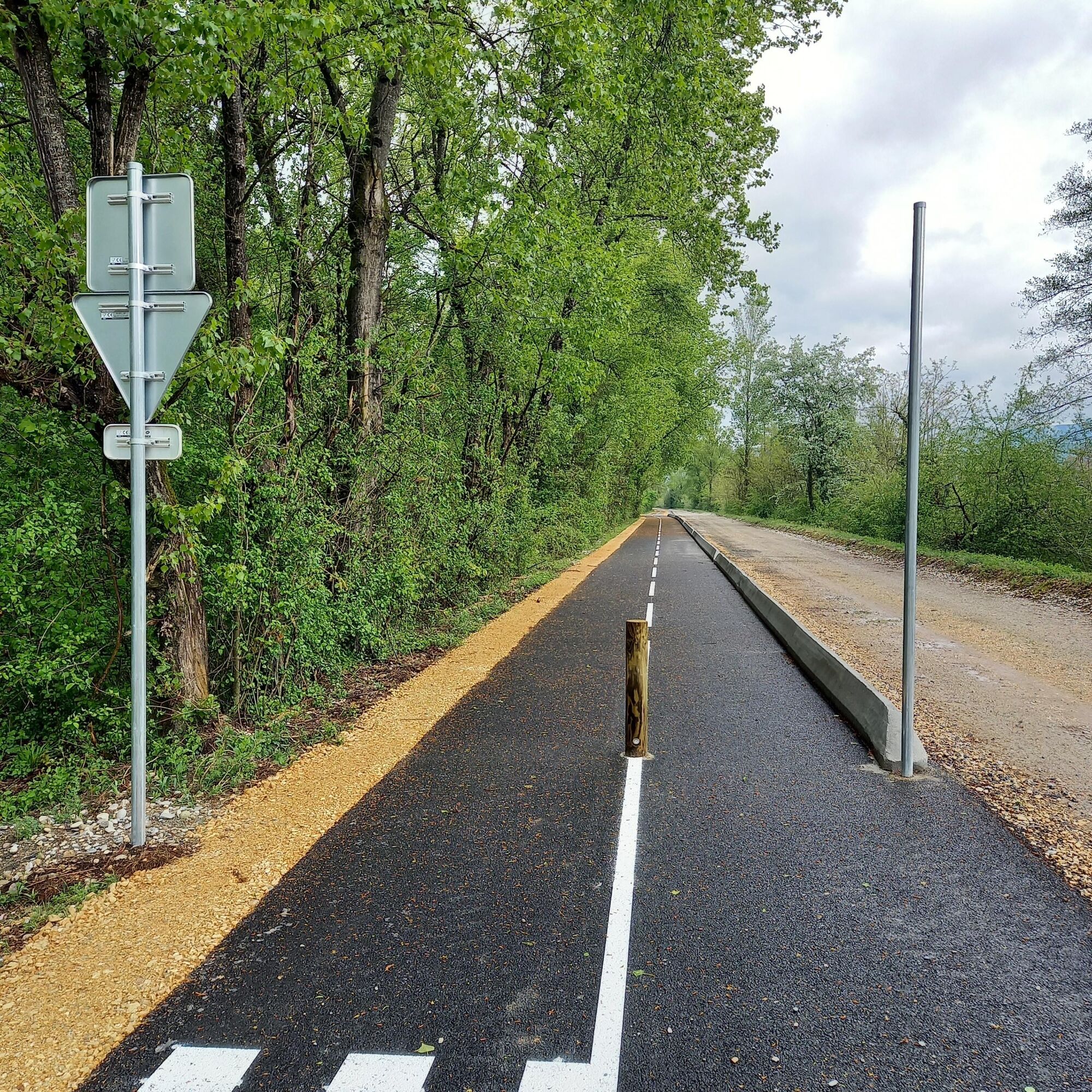
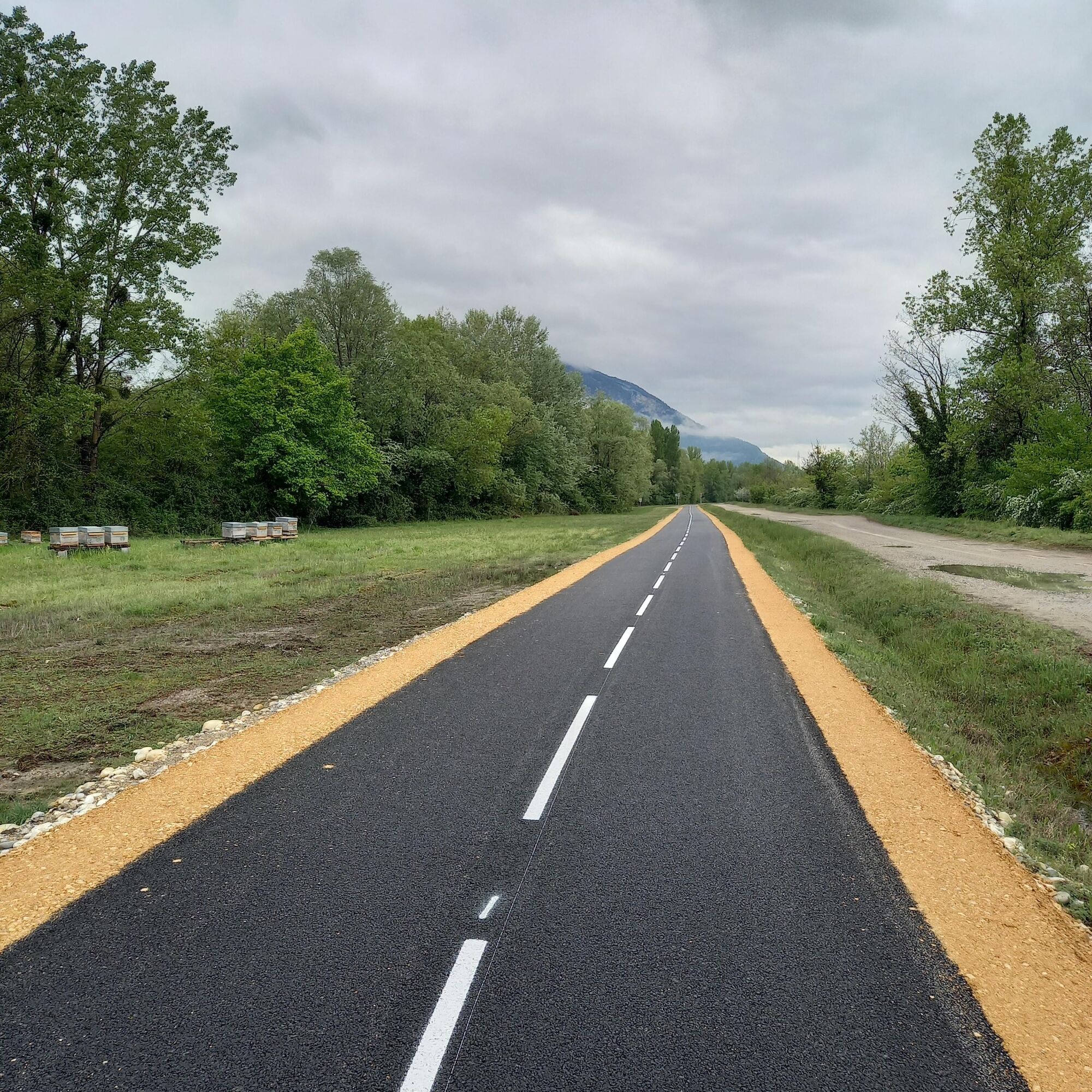
Ideal for families, this roughly 20-kilometer loop with no elevation gain is composed almost entirely of cycle paths.
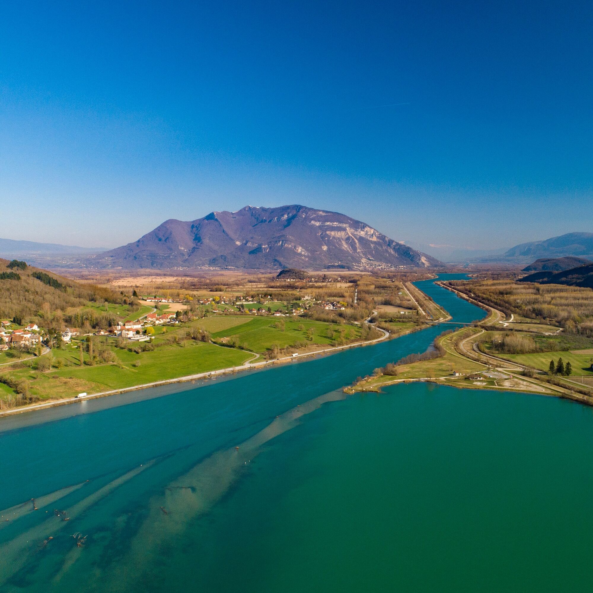
On the Ain side, you'll discover the Via Grand Colombier, a new cycle path located between Cressin-Rochefort and Culoz. With the Grand Colombier massif, the highest peak in the Bugey region and a legendary Tour de France climb, as a backdrop, you'll peacefully follow the Rhône River, just a stone's throw from the Marais de Lavours nature reserve, La Paillère with its inn, river stop, and copperworks.
On the Savoie side, from the Pont de la Loi to the Cressin-Rochefort bridge, you'll discover the ViaRhôna, a cycling route between Lake Geneva and the Mediterranean Sea, the Étang Bleu (Blue Pond), the small village of Vions, and the charming village of Chanaz, nicknamed the "Little Venice of Savoy," located on the Savières Canal (a canal connecting Lake Bourget, the largest natural glacial lake in France, and the Rhône River).
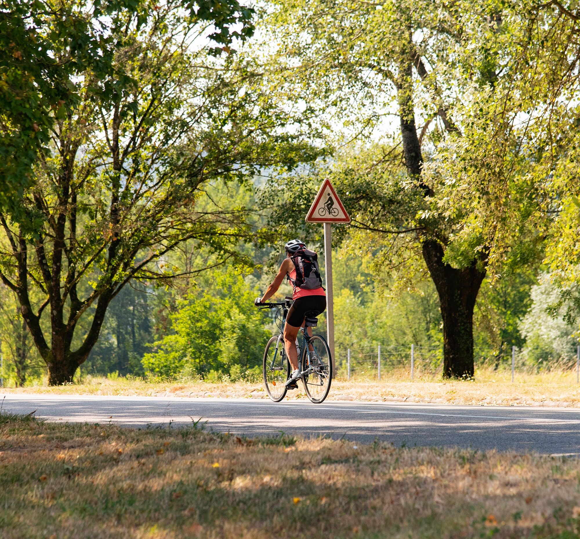
Two bridges must be crossed to get from one bank to the other: the Cressin-Rochefort bridge to the south, with light traffic, and the Pont de la Loi to the north. For cyclists' safety, the Pont de la Loi is equipped with a shared-space roadway (chaucidou).
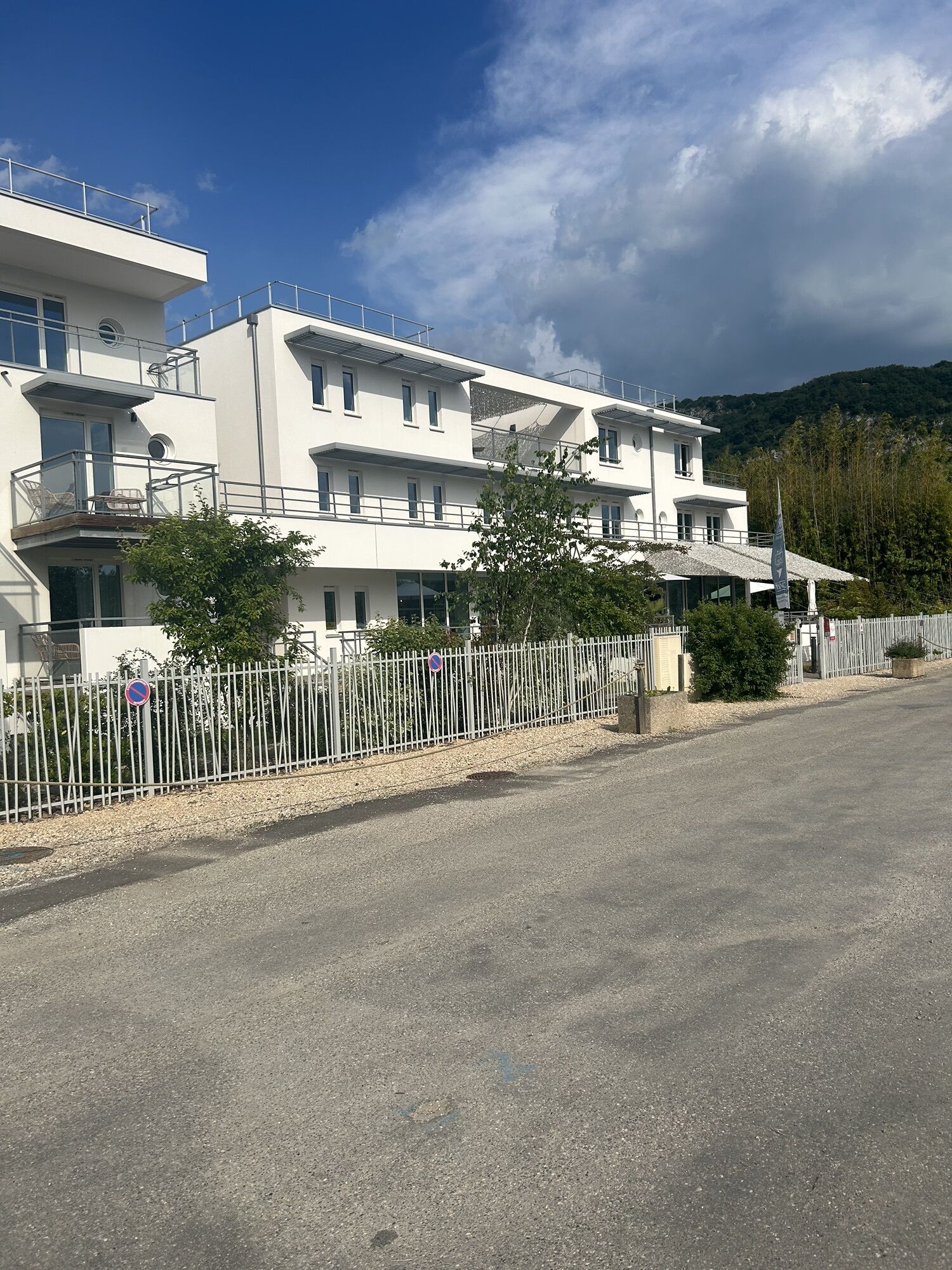
Accessible by train, Culoz station is located on the Lyon-Geneva railway line.
Ideal for families, this roughly 20-kilometer loop with no elevation gain is composed almost entirely of cycle paths.
On the Ain side, you'll discover the Via Grand Colombier, a new cycle path located between Cressin-Rochefort and Culoz. With the Grand Colombier massif, the highest peak in the Bugey region and a legendary Tour de France climb, as a backdrop, you'll peacefully follow the Rhône River, just a stone's throw from the Marais de Lavours nature reserve, La Paillère with its inn, river stop, and copperworks.
On the Savoie side, from the Pont de la Loi to the Cressin-Rochefort bridge, you'll discover the ViaRhôna, a cycling route between Lake Geneva and the Mediterranean Sea, the Étang Bleu (Blue Pond), the small village of Vions, and the charming village of Chanaz, nicknamed the "Little Venice of Savoy," located on the Savières Canal (a canal connecting Lake Bourget, the largest natural glacial lake in France, and the Rhône River).
Two bridges must be crossed to get from one bank to the other: the Cressin-Rochefort bridge to the south, with light traffic, and the Pont de la Loi to the north. For cyclists' safety, the Pont de la Loi is equipped with a shared-space roadway (chaucidou).
Accessible by train, Culoz station is located on the Lyon-Geneva railway line.
Trasa
La Tuilerie
(241 m)
Rozliczenie
0,9 km
Île Béard
(230 m)
Rozliczenie
1,4 km
Lavours
(232 m)
Wioska
5,9 km
Île du Mouton
(234 m)
Korytarz/teren
6,3 km
Palière
(233 m)
Rozliczenie
6,9 km
Mollard-Dessus
(240 m)
Rozliczenie
13,7 km
La Muraille
(235 m)
Rozliczenie
15,0 km
Trasa
Cycling loop on the banks of the Rhône river: easy loop on cycling paths
światło
Droga rowerowa
24,72
km
La Tuilerie
(241 m)
Rozliczenie
0,9 km
Île Béard
(230 m)
Rozliczenie
1,4 km
Cressin-Rochefort
(244 m)
Wioska
2,8 km
Communal de Lavours
(236 m)
Korytarz/teren
5,6 km
Lavours
(232 m)
Wioska
5,9 km
Île du Mouton
(234 m)
Korytarz/teren
6,3 km
Les Gravillots
(234 m)
Korytarz/teren
6,6 km
Palière
(233 m)
Rozliczenie
6,9 km
En Malet
(237 m)
Korytarz/teren
8,8 km
Mollard-Dessus
(240 m)
Rozliczenie
13,7 km
La Guinguette
(237 m)
Restauracja
14,4 km
La Muraille
(235 m)
Rozliczenie
15,0 km
Chanaz
(234 m)
Wioska
17,8 km
Île Béard
(230 m)
Rozliczenie
22,6 km
La Tuilerie
(241 m)
Rozliczenie
23,7 km
Autor
Dostarczone przez Bugey Sud Grand Colombier Tourisme


Nie ma jeszcze recenzji
Popularne wycieczki w okolicy
- 1,0
Hike of the Clairefontaine waterfall
światłoWędrówka 5,46 km Hike: Gorges de Thurignin
ciężkiWędrówka 14,2 kmHike : Armaille Lake
światłoWędrówka 9,42 kmCycling tour : Marshes and vineyards in Bugey
światłoDroga rowerowa 33,1 kmHike starting from Parves-et-Nattages: le circuit du Sorbier
światłoWędrówka 11,4 km- 3,0
Hike: on the ridge of the Grand Colombier (circuit des crêtes)
średniWędrówka 11,3 km Hike: A wolf life.
światłoWędrówka 7,22 kmHike of the Grand Colombier starting from Munet
ciężkiWędrówka 16,0 kmHike : Lake and vineyards
światłoWędrówka 9,76 kmMTB track 1 green - Rothonne forest: Le Renard - Espace FFC Ain Forestière
światłoMountainbike 4,93 km

Wędrówki i tropienie

Ponad 550.000 propozycji wycieczek, szczegółowe mapy i intuicyjny planer tras sprawiają, że aplikacja jest niezbędna dla wszystkich entuzjastów przyrody.

Nie przegap ofert i inspiracji na następne wakacje
Zapisz się do newslettera
Błąd
Wystąpił błąd. Spróbuj ponownie.Dziękujemy za rejestrację
Twój adres e-mail została dodana do listy mailingowej.
Wycieczki po całej Europie
Austria Szwajcaria Niemcy Włochy Słowenię Francja Holandia Belgia Polska Liechtenstein Czechy Słowacja Hiszpania Chorwacja Bośnia i Hercegowina Luksemburg Andorra Portugalia Islandia Wielka Brytania Irlandia Grecja Albania Macedonia Północna Malta Norwegia Czarnogóra Mołdawia Kosowo Węgry San Marino Rumunia Estonia Łotwa Białoruś Cypr Litwa Serbia Bułgaria Monako Dania Szwecja Finlandia