
ViaRhôna : De Loire sur Rhône à Condrieu
średni
Pobierz tę trasę na swój telefon komórkowy
ViaRhôna : De Loire sur Rhône à Condrieu
średni
Droga rowerowa
35,76
km
Zeskanuj kod QR i rozpocznij nawigację w aplikacji bergfex.


Wędrówki i tropienie





ViaRhôna : De Loire sur Rhône à Condrieu
średni
Odległość
35,8
km
Czas trwania
01:54
h
Ascent
103
hm
Poziom morza
151 -
191
m
Ścieżka do pobrania
ViaRhôna : De Loire sur Rhône à Condrieu
średni
Droga rowerowa
35,76
km
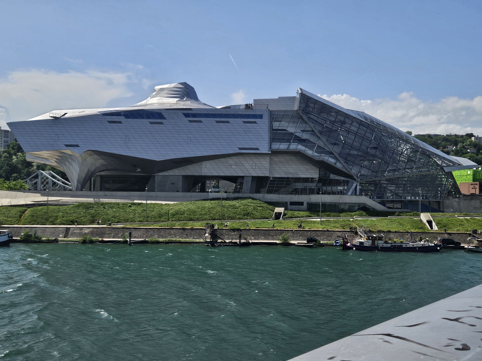
The ViaRhôna/Eurovélo 17 is an 817 km greenway cycle route which winds its way through the Rhône valley, crossing 3 regions and 12 departments.
As a link between Lake Geneva and the Mediterranean, ViaRhôna
allows...
Opis
The ViaRhôna/Eurovélo 17 is an 817 km greenway cycle route which winds its way through the Rhône valley, crossing 3 regions and 12 departments.
As a link between Lake Geneva and the Mediterranean, ViaRhôna
allows you to discover the banks of the Rhône, to get close to an exceptional river heritage and to discover the territories along the river. It invites us to (re)discover one of the founding elements of our identity and reveals to us the richness and originality of the Rhone's culture.
A peaceful experience reserved for soft modes of transport
and accessible to people with reduced mobility. An opportunity to stroll along the banks of the wild Rhone by bike, rollerblades, scooter or on foot.
Auvergne-Rhône-Alpes is home to 2/3 of the ViaRhôna itinerary.
Some sections are greenways on protected sites accessible to all:
accompanied children, adults, pedestrians, cyclists, able-bodied or
disabled people... Each stage is an opportunity to discover the diversity of the region. From the Alpine landscapes to the urban banks in the heart of Lyon, from the terraced vineyards of the Côtes du Rhône to the castles of Saint-Vallier
or Tournon, the tourist wealth is infinite!
As a link between Lake Geneva and the Mediterranean, ViaRhôna
allows you to discover the banks of the Rhône, to get close to an exceptional river heritage and to discover the territories along the river. It invites us to (re)discover one of the founding elements of our identity and reveals to us the richness and originality of the Rhone's culture.
A peaceful experience reserved for soft modes of transport
and accessible to people with reduced mobility. An opportunity to stroll along the banks of the wild Rhone by bike, rollerblades, scooter or on foot.
Auvergne-Rhône-Alpes is home to 2/3 of the ViaRhôna itinerary.
Some sections are greenways on protected sites accessible to all:
accompanied children, adults, pedestrians, cyclists, able-bodied or
disabled people... Each stage is an opportunity to discover the diversity of the region. From the Alpine landscapes to the urban banks in the heart of Lyon, from the terraced vineyards of the Côtes du Rhône to the castles of Saint-Vallier
or Tournon, the tourist wealth is infinite!
Trasa
Lyon
(168 m)
Miasto
0,0 km
Vénissieux
(188 m)
Miasto
8,4 km
Église Saint-Denis
(177 m)
Miejsce kultu
14,0 km
Givors
(157 m)
Miasto
24,1 km
Le Bourg
(155 m)
Sąsiedztwo
28,2 km
Barlet
(155 m)
Rozliczenie
31,8 km
Église Sainte-Colombe
(154 m)
Miejsce kultu
35,4 km
Trasa
ViaRhôna : De Loire sur Rhône à Condrieu
średni
Droga rowerowa
35,76
km
Lyon
(168 m)
Miasto
0,0 km
Chevreul
(166 m)
Sąsiedztwo
0,7 km
Sainte-Foy-lès-Lyon
(271 m)
Miasto
3,5 km
La Mulatière
(238 m)
Wioska
4,2 km
La Saulaie
(164 m)
Sąsiedztwo
5,6 km
Oullins
(189 m)
Miasto
5,6 km
La Saulaie
(165 m)
Sąsiedztwo
6,1 km
Léo Sushi
(167 m)
Restauracja
6,6 km
Pierre-Bénite
(167 m)
Wioska
7,3 km
Vénissieux
(188 m)
Miasto
8,4 km
Chez Ruben et Bénédicte
(161 m)
Restauracja
10,1 km
Irigny
(239 m)
Wioska
11,0 km
Vernaison
(189 m)
Wioska
14,0 km
Église Saint-Denis
(177 m)
Miejsce kultu
14,0 km
La Grande Prairie
(161 m)
Korytarz/teren
17,1 km
Ternay
(223 m)
Wioska
20,3 km
Givors
(157 m)
Miasto
24,1 km
Quartier Du Pont
(154 m)
Korytarz/teren
24,6 km
Le Freyssinet
(164 m)
Sąsiedztwo
27,3 km
Ruisseau Rolland
(160 m)
Korytarz/teren
27,7 km
Le Socca
(159 m)
Sąsiedztwo
27,9 km
Le Bourg
(155 m)
Sąsiedztwo
28,2 km
Loire-sur-Rhône
(166 m)
Wioska
28,3 km
Le Capas
(155 m)
Sąsiedztwo
28,6 km
La Roche Moussy
(154 m)
Sąsiedztwo
29,6 km
Île Barlet
(152 m)
Korytarz/teren
31,3 km
Barlet
(155 m)
Rozliczenie
31,8 km
Île des Sauveteurs
(151 m)
Korytarz/teren
32,5 km
La Buvette de l'Île Barlet
(151 m)
Restauracja
32,8 km
La Roche
(161 m)
Sąsiedztwo
33,4 km
Saint-Romain-en-Gal
(161 m)
Wioska
33,9 km
Église Sainte-Colombe
(154 m)
Miejsce kultu
35,4 km
Vienne
(165 m)
Miasto
35,4 km
Le Bourg
(156 m)
Sąsiedztwo
35,5 km
Quartier Saint-Maurice
(155 m)
Sąsiedztwo
35,5 km
Sainte-Colombe
(157 m)
Wioska
35,7 km
Autor
Dostarczone przez Rhône Tourisme
Wycieczkę ViaRhôna : De Loire sur Rhône à Condrieu zapewnia outdooractive.com.



Dodatkowe informacje i wskazówki
Dodatkowe informacje
APIDAE tourism data updated on 17/01/2022 by "Office de Tourisme de Vienne Condrieu Agglomération".
Spotted an error? Write to ajouvenaud@vienne-condrieu.com with the following information:
File name: ViaRhôna : De Loire sur Rhône à Condrieu | Record identifier: 144142 | URL (link) for this Outdooractive page.
Spotted an error? Write to ajouvenaud@vienne-condrieu.com with the following information:
File name: ViaRhôna : De Loire sur Rhône à Condrieu | Record identifier: 144142 | URL (link) for this Outdooractive page.
Nie ma jeszcze recenzji
Popularne wycieczki w okolicy
-
5,0
Walk to the Garon siphon bridge of the Roman Aqueduct of Gier
światłoWędrówka 6,08 km -
Roman Gier Aqueduct path
ciężkiWędrówka 44,4 km -
Wine trails at the heart of the vineyards
światłoWędrówka 4,92 km -
Walking towards the Aqueduct of Gier - Monts du Lyonnais - Chaponost
światłoWędrówka 8,25 km -
Family hike "In the heart of the orchards"
światłoWędrówka 4,04 km -
MTB Route 231 - Les Landes de Montagny
ciężkiMountainbike 19,9 km -
In the heart of the Millery vineyards
światłoWędrówka 9,96 km -
MTB Circuit 241 - The Garon Valley
ciężkiMountainbike 25,4 km -
Panorama Hike "The landscapes of Montagny"
światłoWędrówka 10,3 km -
Mountain bike route 230 - The Old Town
światłoMountainbike 7,77 km

Wędrówki i tropienie

Ponad 550.000 propozycji wycieczek, szczegółowe mapy i intuicyjny planer tras sprawiają, że aplikacja jest niezbędna dla wszystkich entuzjastów przyrody.

Nie przegap ofert i inspiracji na następne wakacje
Zapisz się do newslettera
Błąd
Wystąpił błąd. Spróbuj ponownie.
Dziękujemy za rejestrację
Twój adres e-mail została dodana do listy mailingowej.
Wycieczki po całej Europie
Austria
Szwajcaria
Niemcy
Włochy
Słowenię
Francja
Holandia
Belgia
Polska
Liechtenstein
Czechy
Słowacja
Hiszpania
Chorwacja
Bośnia i Hercegowina
Luksemburg
Andorra
Portugalia
Islandia
Wielka Brytania
Irlandia
Grecja
Albania
Macedonia Północna
Malta
Norwegia
Czarnogóra
Mołdawia
Kosowo
Węgry
San Marino
Rumunia
Estonia
Łotwa
Białoruś
Cypr
Litwa
Serbia
Bułgaria
Monako
Dania
Szwecja
Finlandia





