







Cross-country mountain biking: Villeneuve
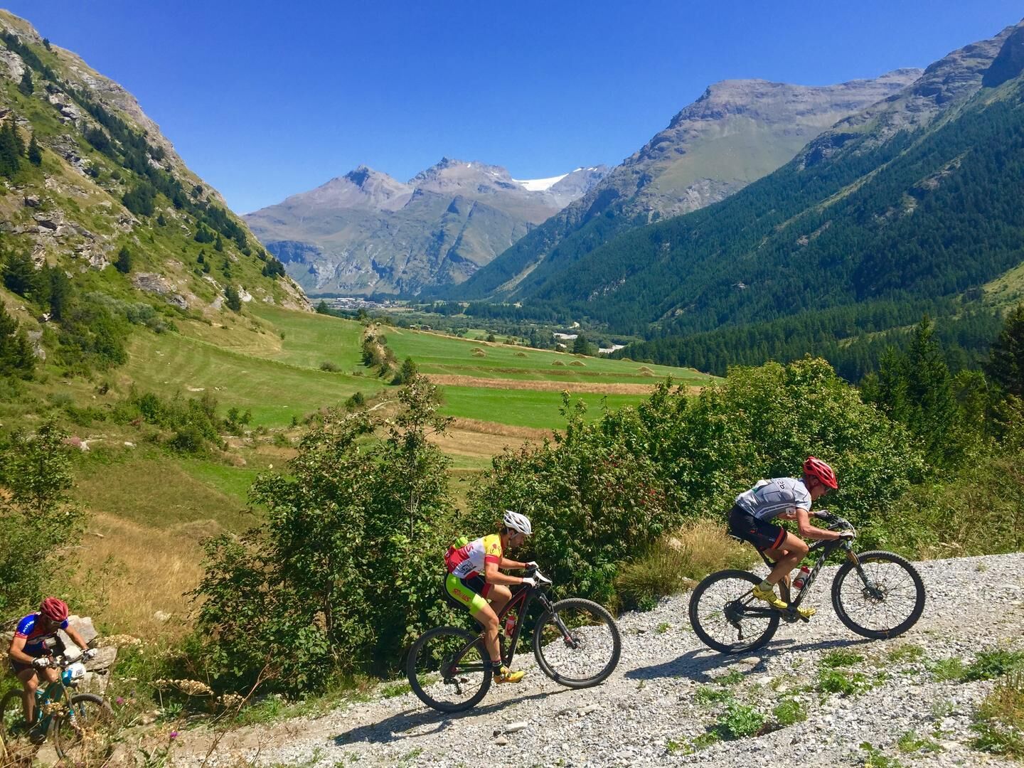
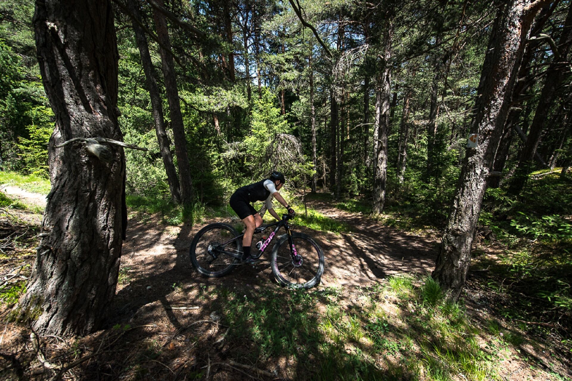
An easy trail going gently uphill towards Sardières and onto the Grand Cerf track. The ride back down to Sollières is via a fun and easy singletrack path which is great for perfecting your technique. Stop...
An easy trail going gently uphill towards Sardières and onto the Grand Cerf track. The ride back down to Sollières is via a fun and easy singletrack path which is great for perfecting your technique. Stop at Sollières to visit the Archaeology Museum.

Accessible by estibus (shuttle equipped with bike racks during the summer season) departing from Bonneval sur Arc, Bessans, Lanslevillard, Lanslebourg, Termignon, Bramans. Or with TransSavoie shuttles departing from Modane station (not equipped with bike racks).
As hazards may occur at any time on the routes, the GPX tracks provided are not contractual. They are provided for information only. Riders use them at their own risk, depending on their level of technological proficiency and their understanding of the terrain.
Uzyskaj wgląd Zawsze na żywo z ponad 9 500 kamer internetowych. bergfex Jako użytkownik Pro, możesz teraz zobaczyć odpowiednie kamery internetowe dla wielu wycieczek w aplikacji wycieczki od. Pozwala to na bezpośredni podgląd aktualnych warunków. Popularne wycieczki w okolicy
- 5,0
BARDONECCHIA Colle Sommeiller
średniMountainbike 25,4 km little 'Haute-Maurienne Vanoise' circuit
ciężkiDroga rowerowa 32,0 kmBARDONECCHIA Rochemolles Dam - Scarfiotti Refuge
średniWędrówka 7,77 kmRefuge du Fond d'Aussois - a wild valley in the Vanoise - 2-day hike
światłoWędrówka 9,22 km- 5,0
BARDONECCHIA Punta Sommeiller
ciężkiWędrówka 7,17 km The White Lake
światłoWędrówka 4,42 kmBARDONECCHIA Decauville Loop - Scarfiotti Refuge
światłoMountainbike 34,0 kmCol de l'Iseran from Modane
ciężkiDroga rowerowa 59,5 kmCol du Mont Cenis from Modane
ciężkiDroga rowerowa 34,8 km- 5,0
The Builder's Trail on foot
światłoTrasa tematyczna 7,23 km

Wędrówki i tropienie


Nie przegap ofert i inspiracji na następne wakacje
Twój adres e-mail została dodana do listy mailingowej.





