


MTB route 212 - the Vallée en Barret
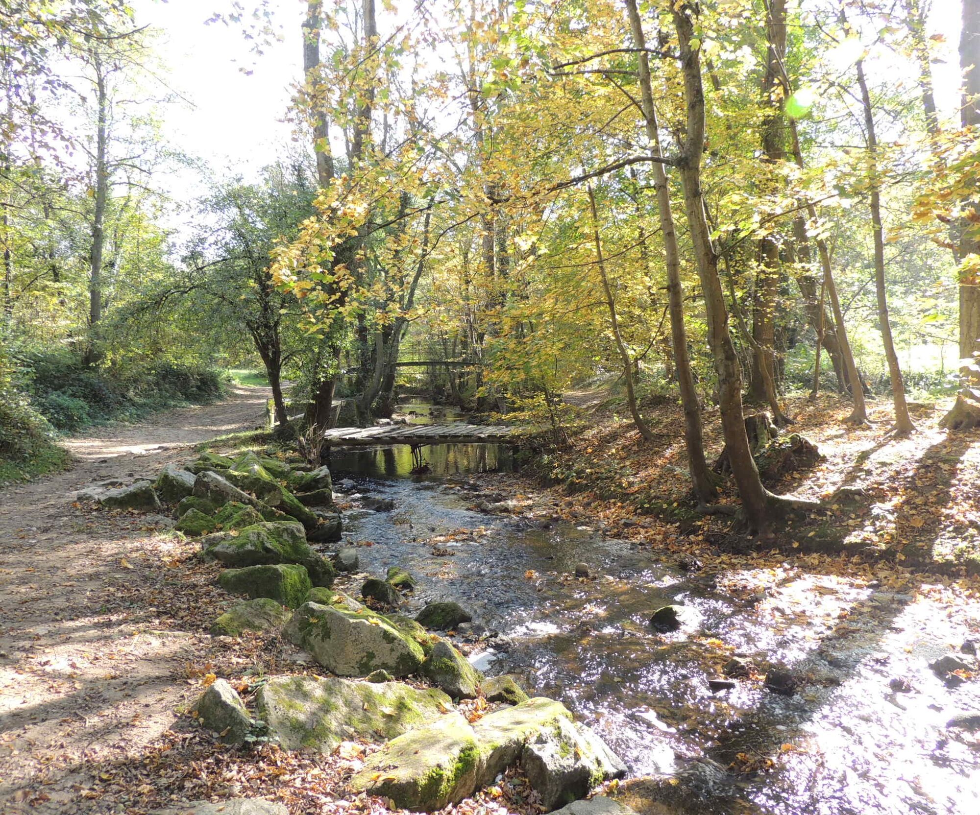
On the Chemin du Garon, you will enjoy a magnificent panorama of the Monts du Lyonnais. You will then descend towards Soucieu-en-Jarrest on the Chemins de Saint-Jacques de Compostelle. You will encounter...
On the Chemin du Garon, you will enjoy a magnificent panorama of the Monts du Lyonnais. You will then descend towards Soucieu-en-Jarrest on the Chemins de Saint-Jacques de Compostelle. You will encounter several remains of the Roman Aqueduct of the Gier. On the way back up to Chaponost, you will pass the Dame Blanche equestrian center, then join the Croix Ramier and cross the Parc du Boulard.

Adjust your equipment and route choice according to your level and the weather. Do not leave the trails.
Bike tire pump available for use:
- In Chaponost: on Place du 8 Mai 1945 (below the media library, at the corner of Rue Etienne Gros and Avenue Maréchal Joffre).
- In Brignais: on the forecourt of the Town Hall, Rue de Janicu
Popularne wycieczki w okolicy
-
5,0
Walk to the Garon siphon bridge of the Roman Aqueduct of Gier
światłoWędrówka 6,08 km -
The Signal - Monts du Lyonnais - Saint-André-la Côte
światłoWędrówka 14,5 km -
Roman Gier Aqueduct path
ciężkiWędrówka 44,4 km -
The Tacot, ephemeral journey
światłoTrasa tematyczna 1,91 km -
Wine trails at the heart of the vineyards
światłoWędrówka 4,92 km -
Health-sport hike: the Croix Forest bridge
światłoWędrówka 9,78 km -
Walking towards the Aqueduct of Gier - Monts du Lyonnais - Chaponost
światłoWędrówka 8,25 km -
Family hike "In the heart of the orchards"
światłoWędrówka 4,04 km -
Let's walk in the woods - Monts du Lyonnais - Pollionnay
światłoWędrówka 12,6 km -
MTB Route 231 - Les Landes de Montagny
ciężkiMountainbike 19,9 km
Wędrówki i tropienie


Nie przegap ofert i inspiracji na następne wakacje
Twój adres e-mail została dodana do listy mailingowej.